#1: PRINCIPAL PEDESTRIAN NETWORKS Principal Pedestrian Networks have been defined for the City’s nine larger economic centres and many smaller local centres, where most people live, visit, work and play.
check-circle Highly legible, easy to follow
People will generally walk or use assisted mobility for 10-15 minutes to access local shops and services, depending on their age, health, the walking environment and the weather. Principal Pedestrian Networks are based on walking distances of 10 minutes to the edges of local centres and 15 minutes to economic centres.
check-circle Leafy and shaded
Principal Pedestrian Networks generally do not include no-through streets, as pedestrian and traffic volumes are much lower. The exception is where a no-through street connects to a trip generating destination such as a school, club, train station, etc., or the land is zoned for medium density housing.
LAKE MACQUARIE CITY COUNCIL
check-circle Direct and convenient
These areas typically include older neighbourhoods, many built at a time when streets did not require footpaths. Being closer to shops, services, schools, workplaces, community facilities and train stations, these areas include streets and routes frequently used by pedestrians.
In some cases, Principal Pedestrian Networks may extend to include routes to important destinations slightly beyond 10-15 minute walking distances.
16
KEY DESIGN PREFERENCES
check-circle Pedestrians have right of way priority
where safe and possible
check-circle Feels safe, benefits from passive surveillance
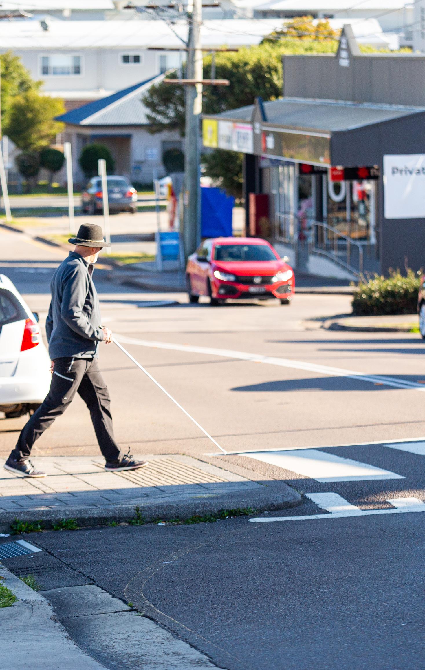
check-circle Meets disability accessibility standards