2 minute read
GREEN INFRASTRUCTURE | 100-YEAR FLOODPLAIN


Stormwater And Floodplain
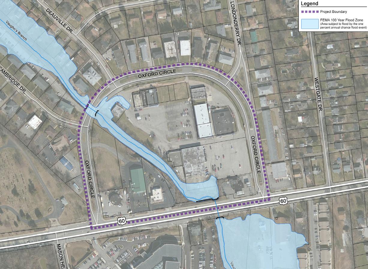
The project area is bisected by Vaughn's Branch Creek, a tributary of the Wolf Run Creek watershed. The Oxford Circle Area was developed at a time when there was little to no consideration for Stormwater management practices. As a result, most of the buildings in the Circle experience some degree of water inundation during heavy storm events. The 1983 Kennoy Report illustrated structures that had been inundated during flooding events. The Urban County Government undertook a number of stormwater management projects during the late 1980s and 1990s. The City along with Friends of Wolf Run, a non-profit organization, continue to this day to advance water quality and quantity projects. These stormwater improvements within the watershed include protecting stream bank from development encroachment, reducing existing impervious surface areas and riparian stream bank reforestation.
The current FEMA floodplain map reflects these past improvements by LFUCG resulting in significant reductions in the floodplain area of Oxford Circle. While the risk of flooding has been significantly reduced, any future redevelopment or infill should include floodplain modeling of this reach of the watershed and should employee best management practices for stormwater quantity and quality.

Transportation
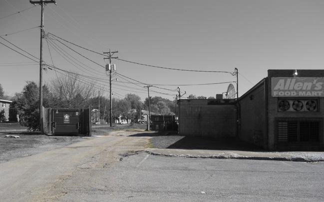
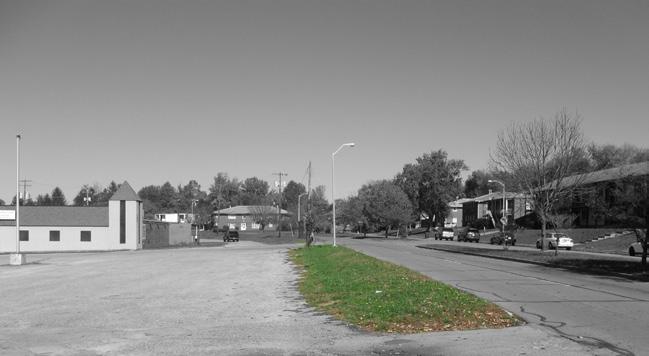
Oxford Circle is a horseshoe shaped minor collector road. This quarter mile road has a raised center median with local streets connecting to the surrounding Cardinal Valley Neighborhood. Vaughn’s Branch of Wolf Run Creek bisects the project area. As a result of this bifurcation, mobility is limited from the east side of the property to the west side.

In recent years, a number of transportation related studies have been conducted regarding Versailles Road and the Cardinal Valley area. The citywide, 2007 Bike-Ped Master Plan identifies medium and low priorities for bike pedestrian improvements along the Versailles Road Corridor and the Cardinal Valley area. Recently there has been an increased emphasis on mobility and accessibility, thus priorities for multi-modal transit along Versailles Road have shifted. The more recent 2015 Versailles Road Corridor Study calls for 6’ pedestrian sidewalks and 5’ bicycle lanes along both sides of Versailles Road in this “transition section.” Currently, Versailles Road has bike lanes and intermittent pedestrian facilities in the Study Area. The 2015 Cardinal Valley Small Area Plan called for both bike and pedestrian improvements in and around the Oxford Circle Area. Currently, Oxford Circle has no bicycle facilities. Pedestrian facilities are limited to the outside edge of Oxford Circle, including some areas of noncontiguous sidewalks.

Transit Facilities
LexTran has two bus routes and four bus stops within the project area. Three stops are located on Oxford Circle and one stop on Cambridge Drive.

Route 8 – Versailles, serves the Versailles Road, Alexandria Drive and Lane Allen Road corridors.
Route 21 – Airport / Keeneland along Versailles Road, provides links to major employment and transportation centers namely downtown, the airport and Keeneland.
Currently, there are two aging bus stop shelters. One on the inner loop of Oxford Circle, and the other on Cambridge Drive. While the shelters both have concrete pads the shelter along Oxford Drive lacks pedestrian or accessible routes to the structure.

Bike And Pedestrian Facilities
Currently, the inner loop of Oxford Circle has no bicycle or pedestrian facilities. The outer loop has limited pedestrian facilities There are some areas of noncontiguous sidewalks and no crosswalk facilities except at the intersections of Oxford Circle and Versailles Road.
Vehicular Facilities
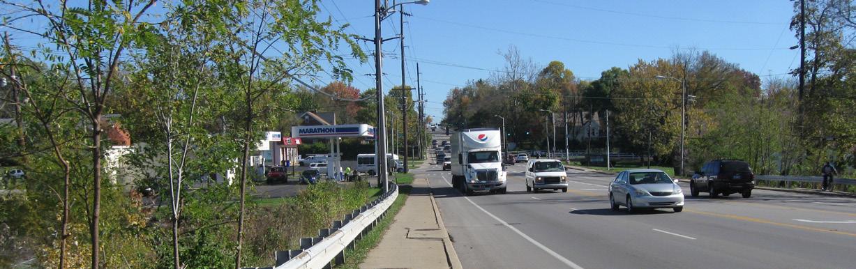
Versailles Road (U.S. 60), defining the southern edge of the project area, is a major east/west principal arterial road