—Design of the Dessert Square in Front of the Church
Individual work
January, 2024
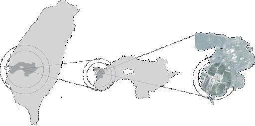
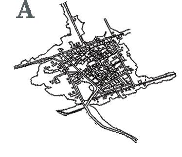
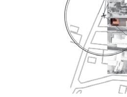
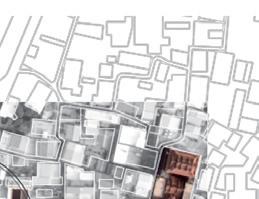
Site: Tamsui District, Taiwan
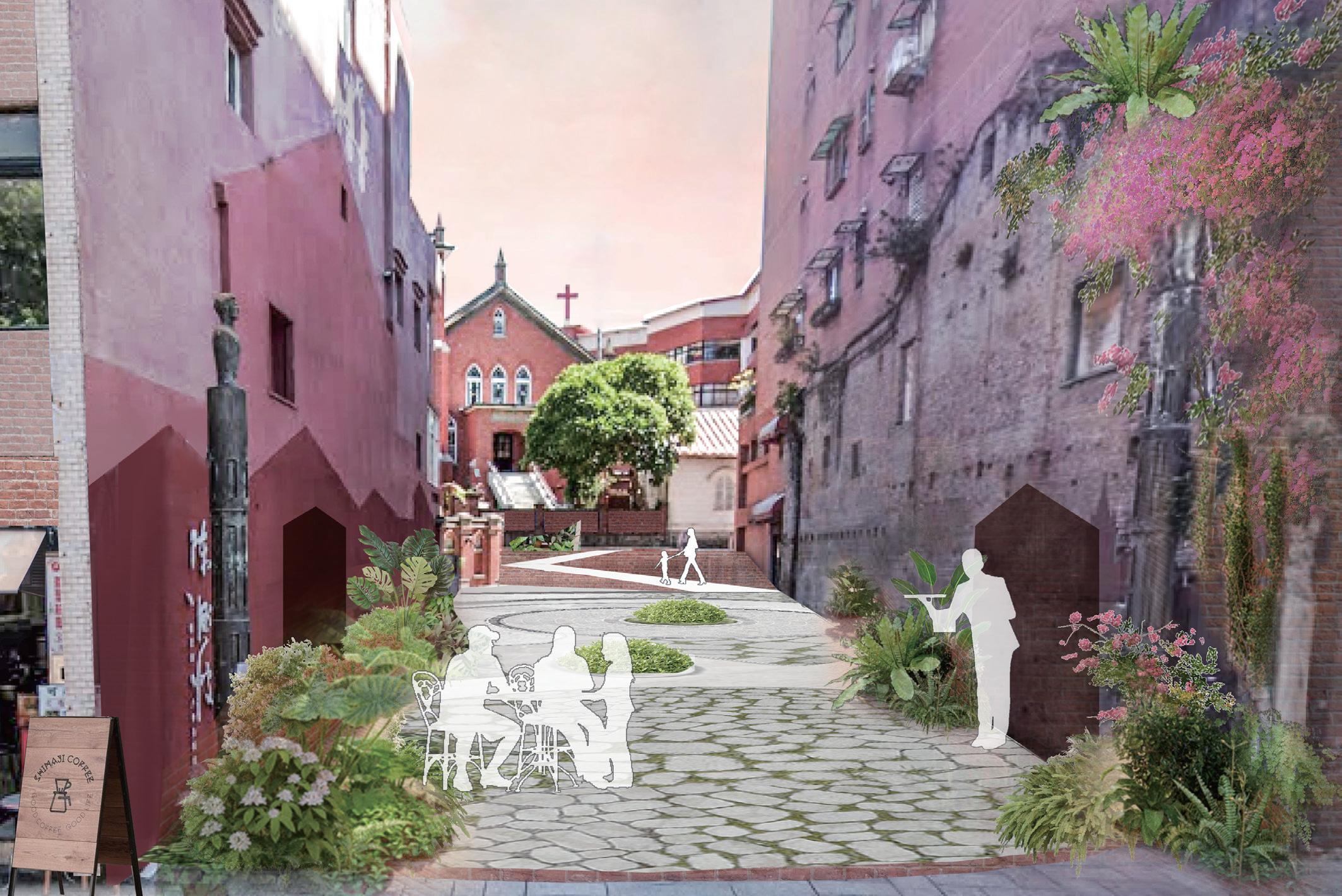
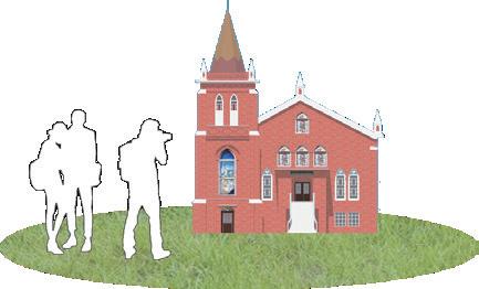
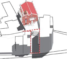
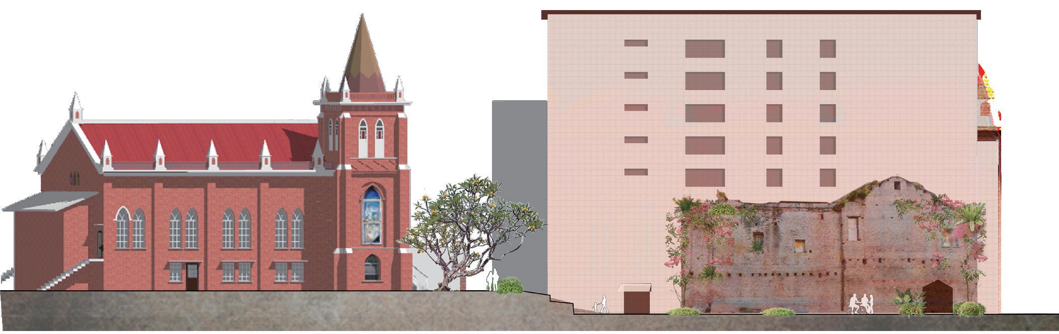
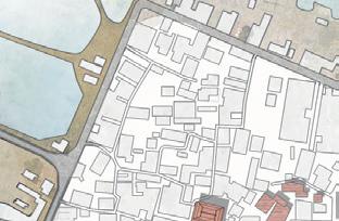
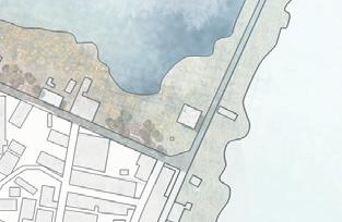
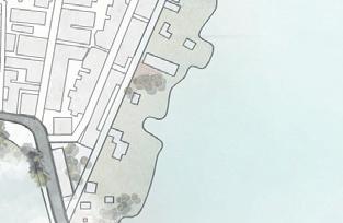
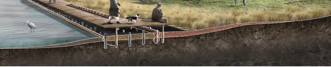
In the 19th century, missionaries from the Canadian Presbyterian Church established multiple healthcare and educational facilities in Tamsui, including this church. Now a bustling tourist area, it offers a variety of cuisines. I often come here to buy desserts.
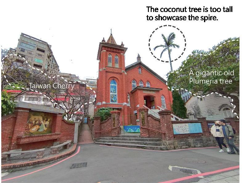
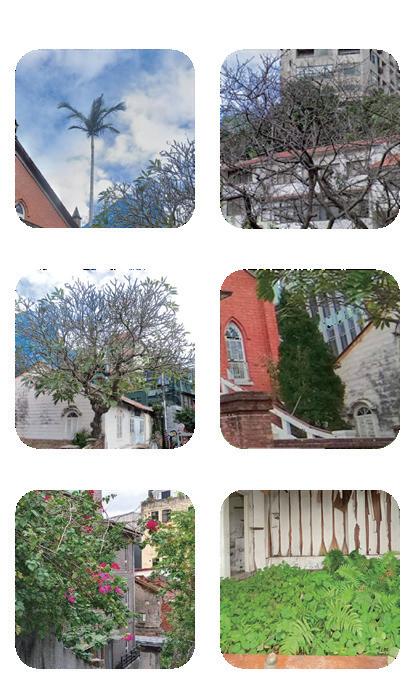
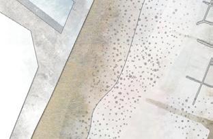
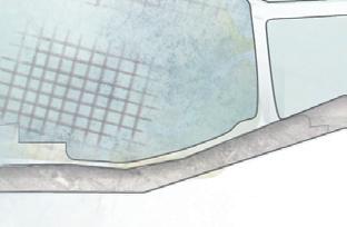
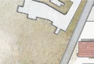
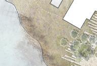
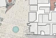
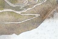
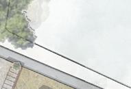
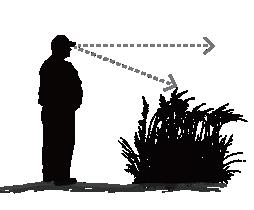
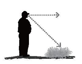
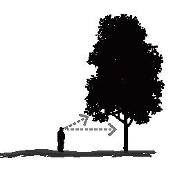
The site is situated in a subtropical region characterized by high temperatures and abundant rainfall during the summer. Due to its location next to tall buildings, the site receives minimal sunlight.
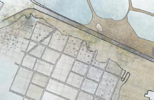
Site Analysis
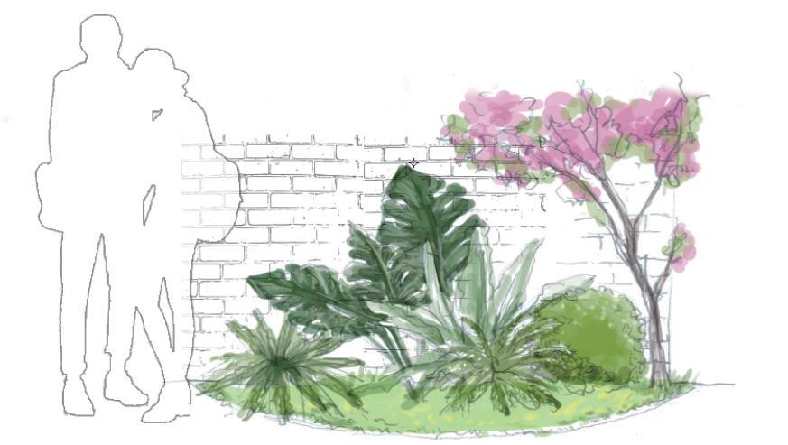
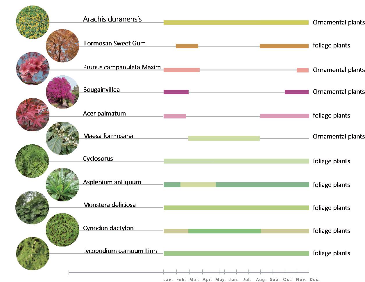
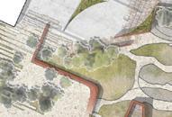
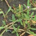
The area also features common plants such as bougainvillea and ferns.
User Analysis
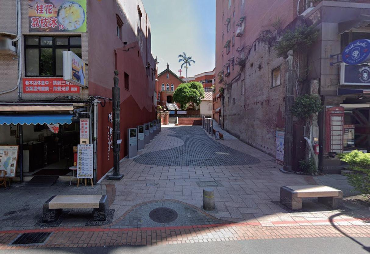
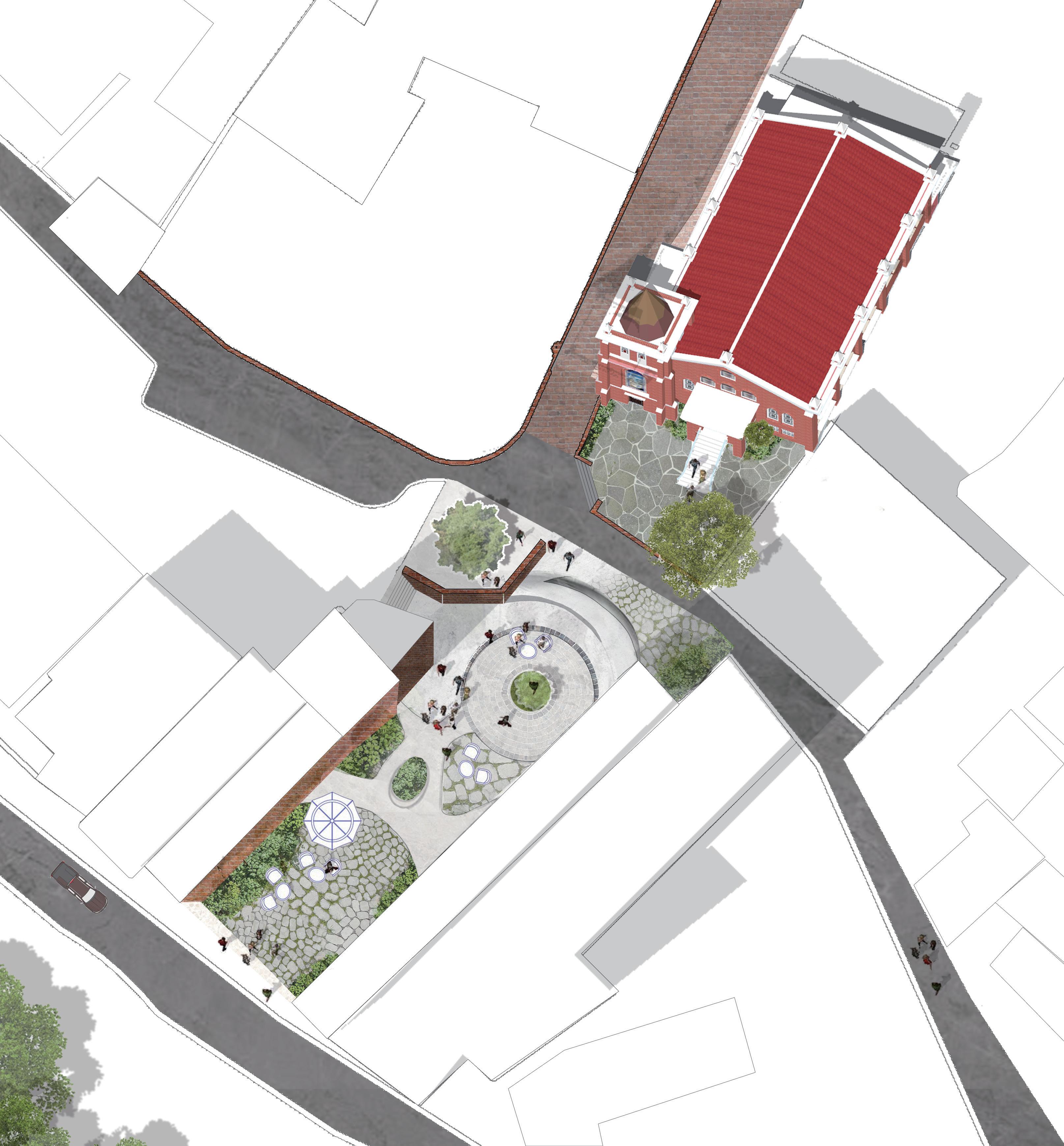
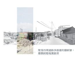
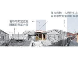
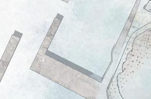
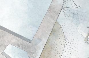
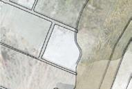
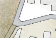
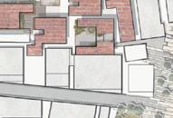
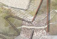
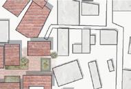
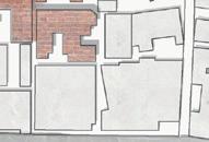
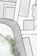
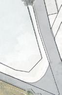
Cluttered signage
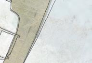
Stairs dividing spaces
Traditional Chinesestyle building facades.
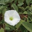
Wisteria
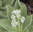
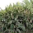
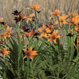
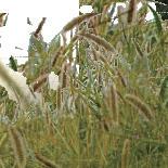
King palm Plumeria Taiwan Cherry Dragon Juniper Taiwan Cyclosorus
Sightseers visiting historical landmarks
The local residents and tourists buying food items to eat.
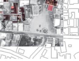
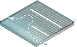
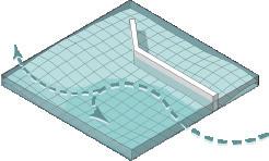
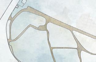
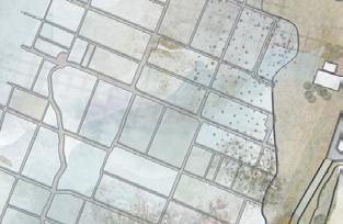
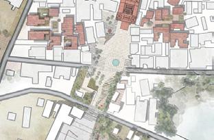
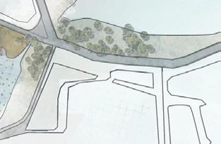
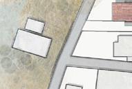
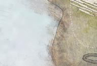
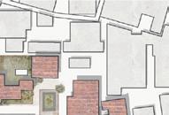
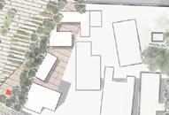
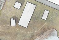
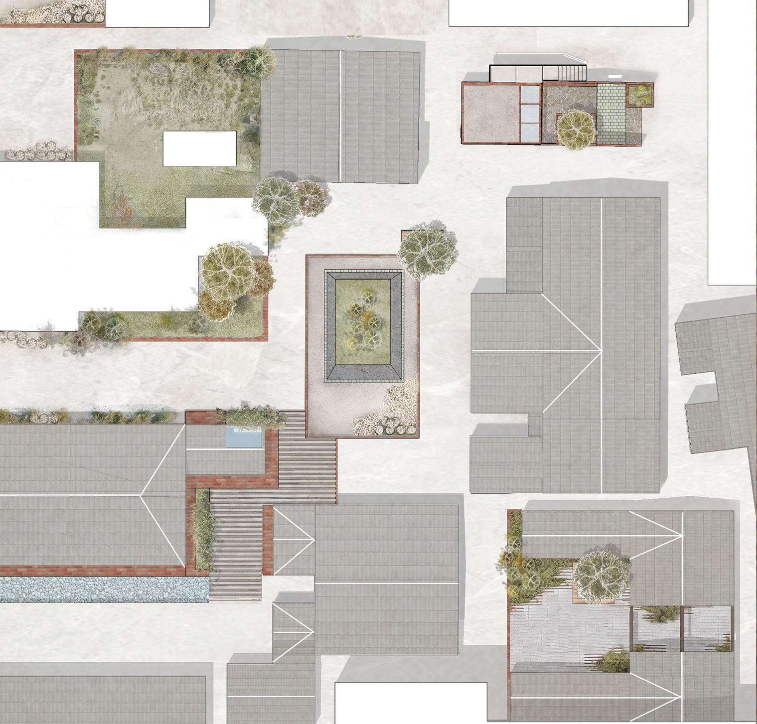
Design Strategy
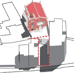
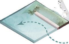
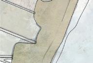
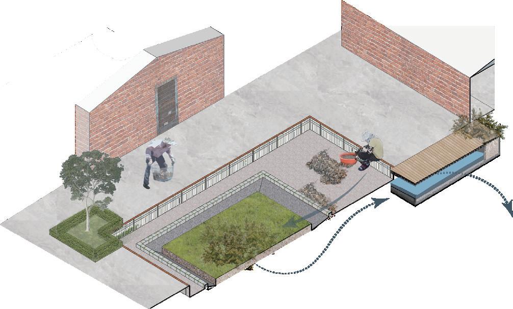
The businesses have opened side doors on both sides, connecting them to the square. Additionally, they have replaced stairs with sloped ramps to encourage longer stays.
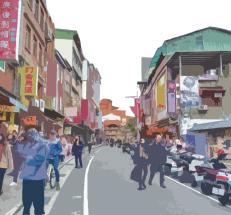
The surrounding area is bustling with old streets.
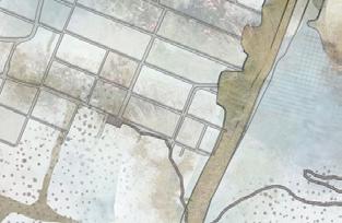
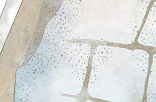
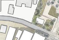
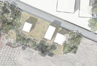
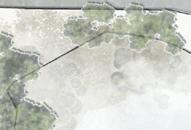
Planting Plan
Create Vertical Depth and Utilize Diverse Ferns, Shade-Tolerant Flowering Plants, and Climbers
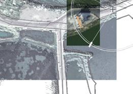
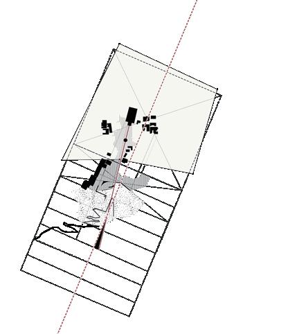
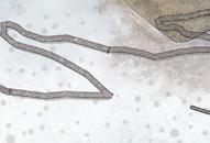
Tamsui Church Ramp Square Zhongzheng Rd. Mackay St.
Ordinary people's life and aggregation of landscape boundaries
—Coastal fishing village landscape regeneration planning
Graduation Design
August, 2021 - May, 2022
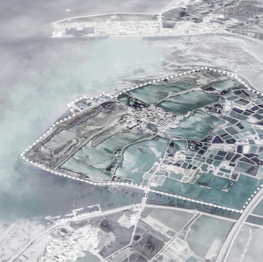
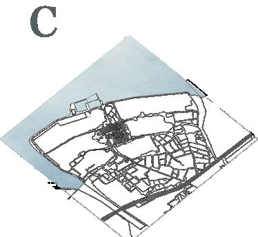
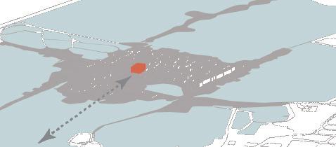
Site: Wangliao Village, Dongshi Township, Chiayi County, Taiwan
Tutor: Hong Su
Graduation Project Award, the 2nd place of the graduation project
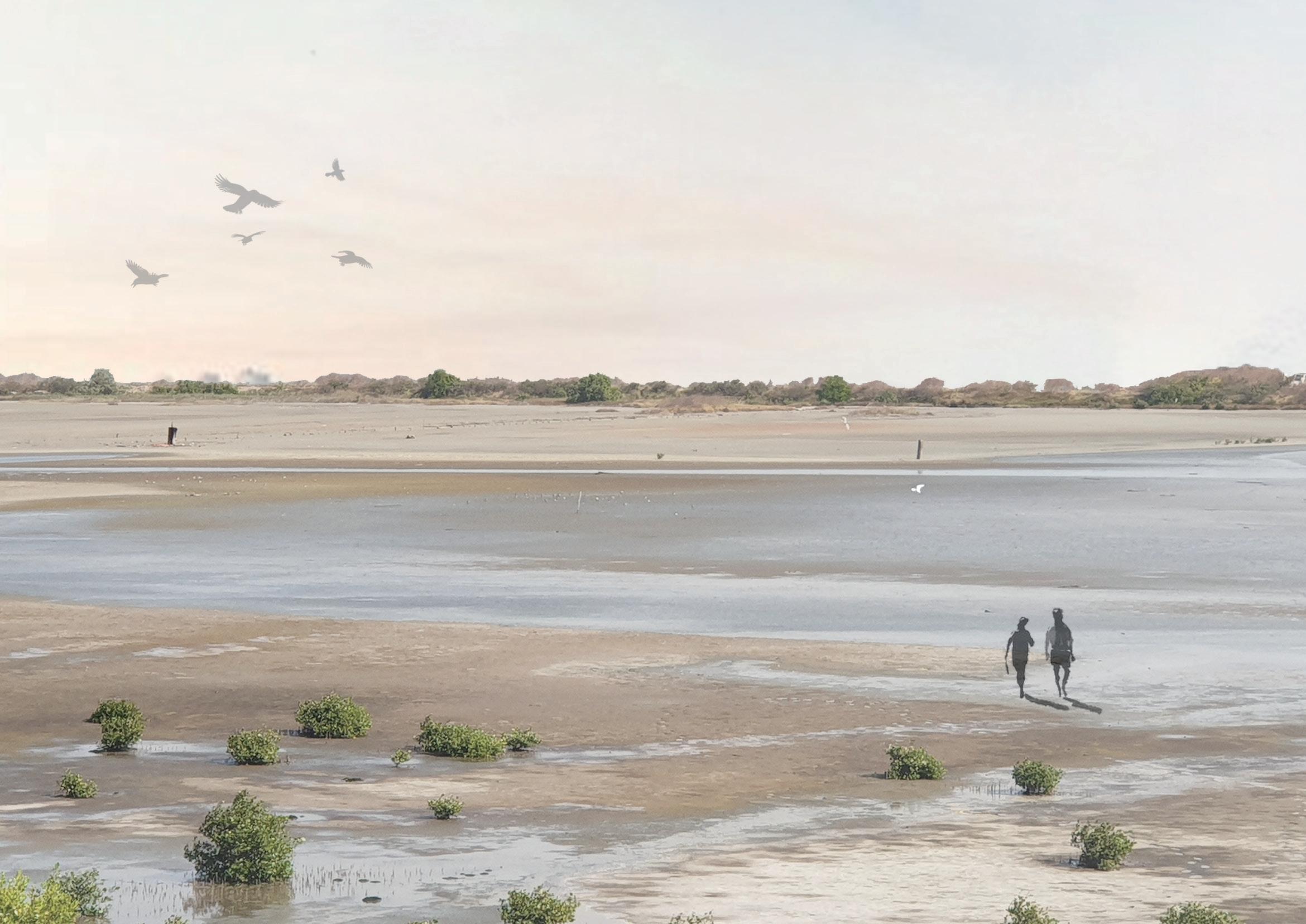
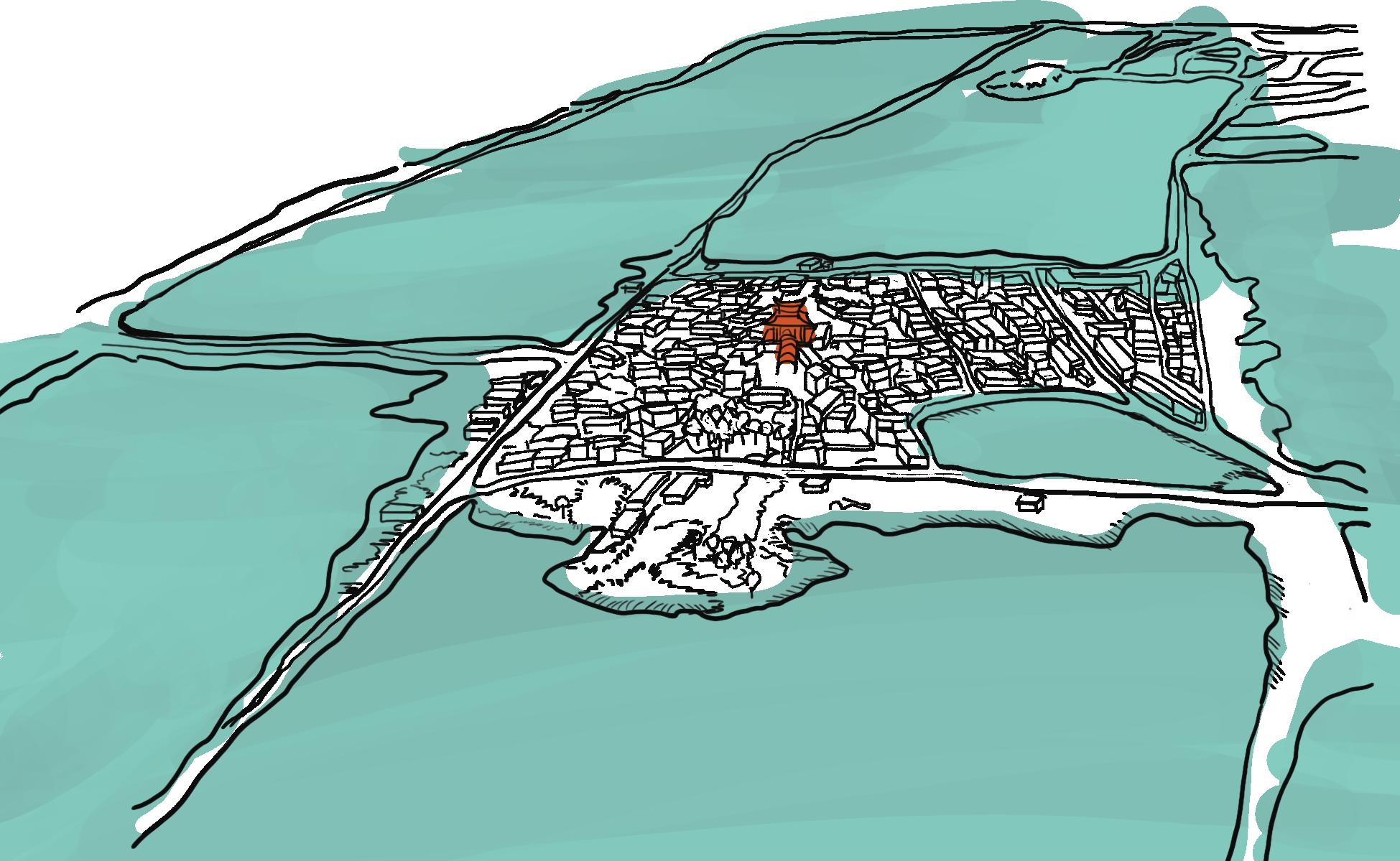
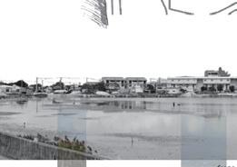
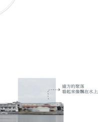
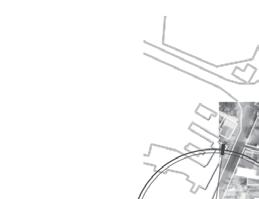
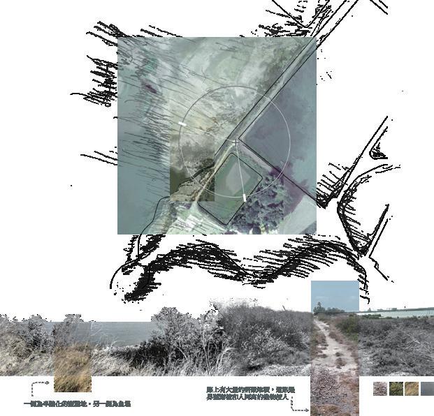
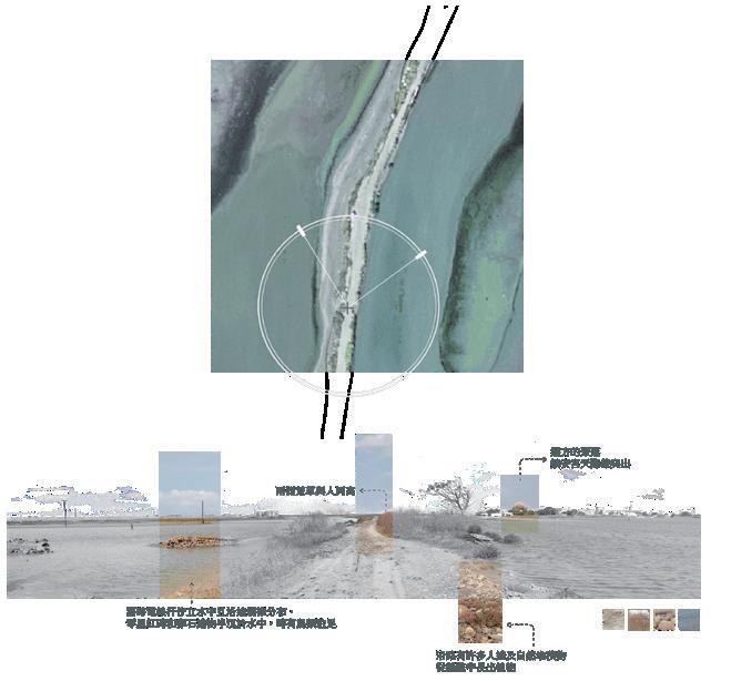
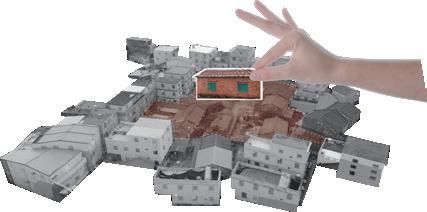
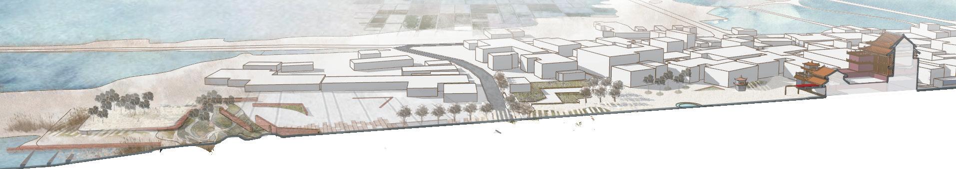
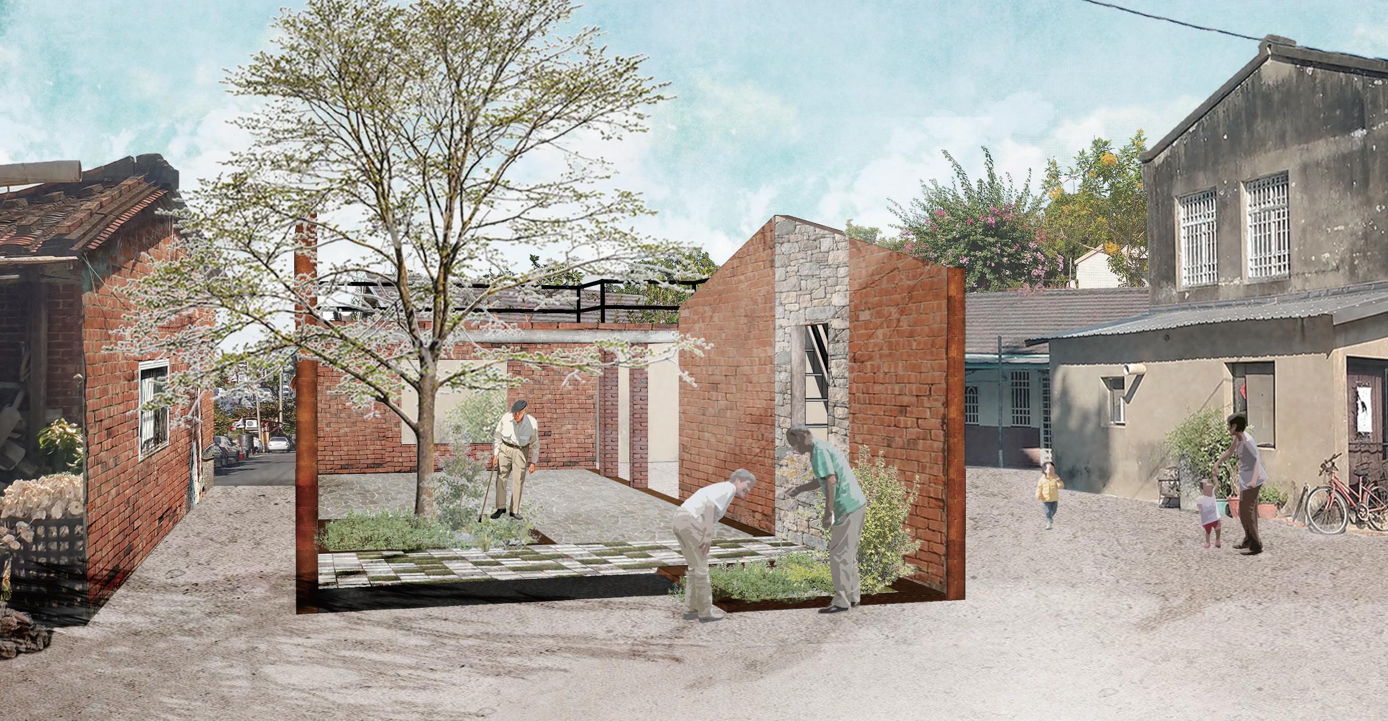
Wangliao Village is a small fishing village located along the Dongshi coastline in Chiayi. Having undergone several industrial transformations, the landscapes left behind by past industries have gradually faded away, leaving the village surrounded by vast abandoned salt flats and fish ponds, resembling a solitary island adrift on the sea. The blending of the village with the saline water forms a subtle relationship between people, the village itself, and the sea.
In this yet uncommercialized, untouched place, the village still retains traces of people's values, dreams, and emotions. Therefore, we endeavor to uncover the uniqueness of this settlement, aiming to reconnect local memories with the surrounding nature, reconstructing its relationship with nature, culture, and its inhabitants.
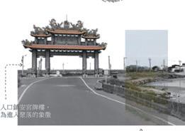
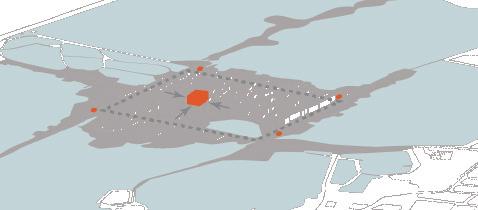
Zhen'an Temple
farm
Taiwan Strait
Taiwan
Chiayi County Wangliao Village
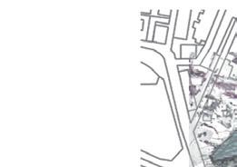
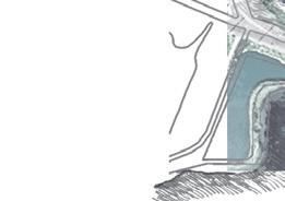
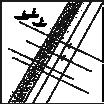
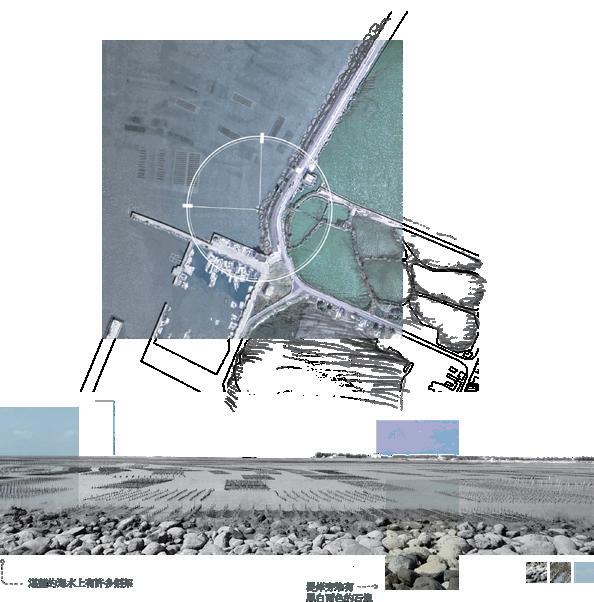
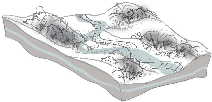
Site Analysis
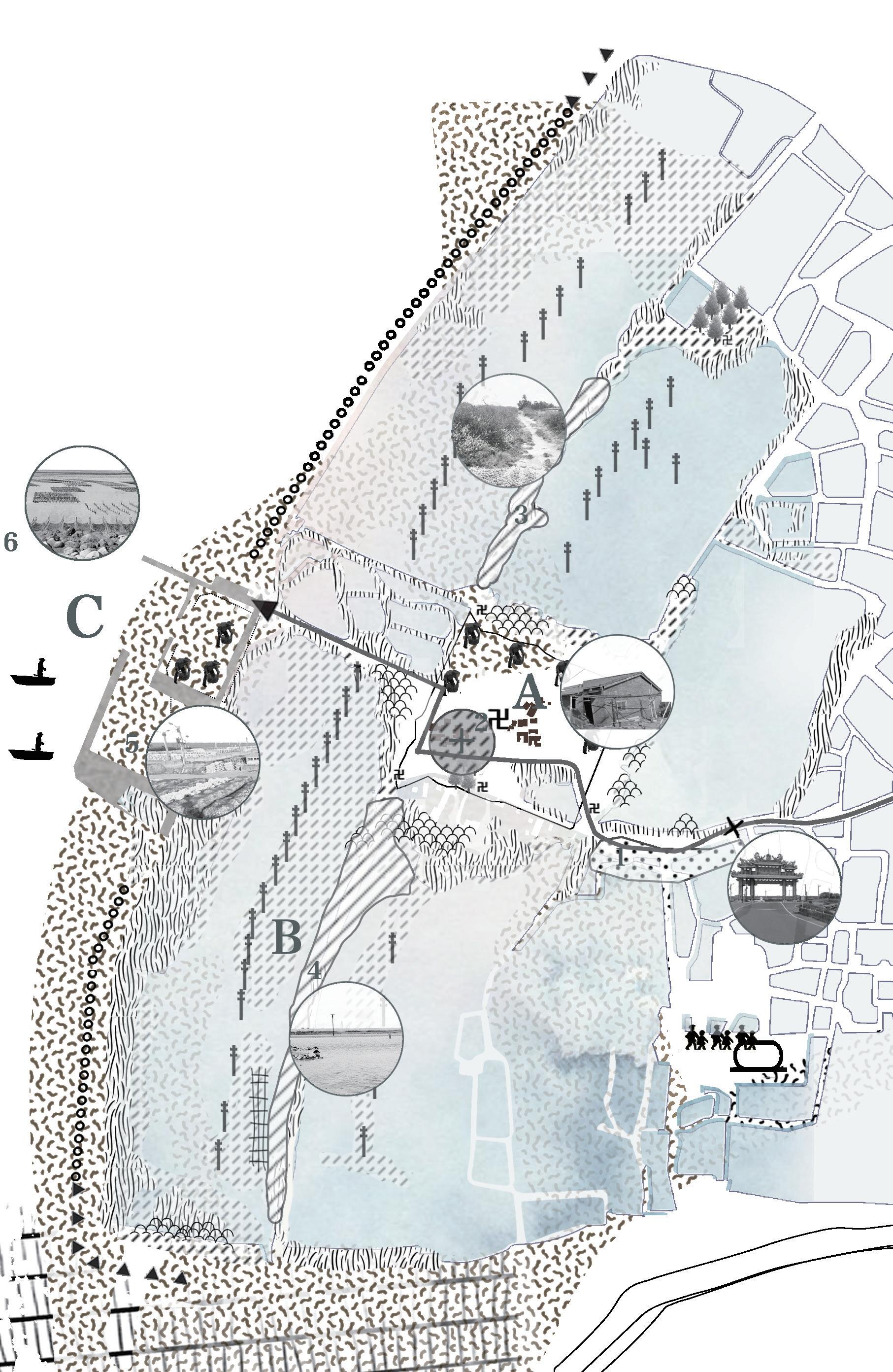
Landscape change design concept Master Plan
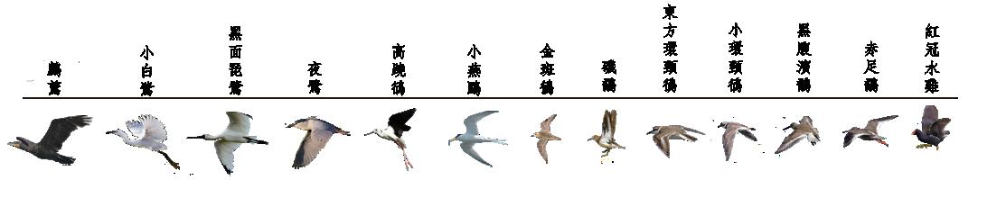
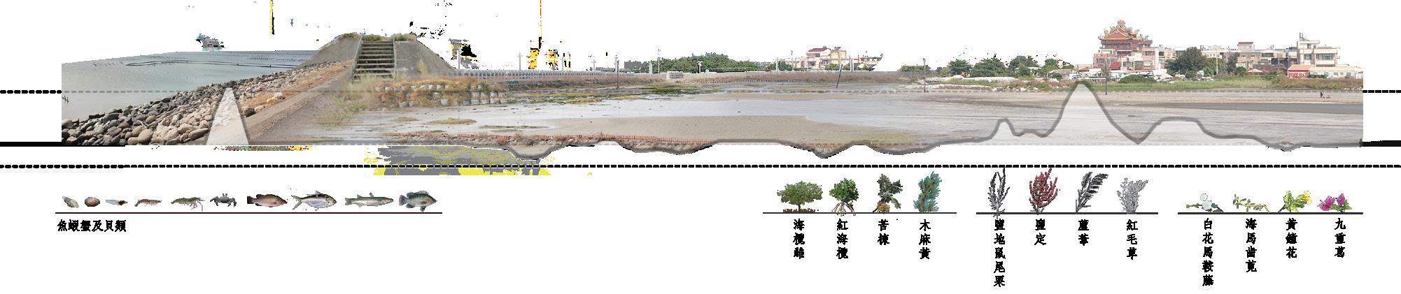
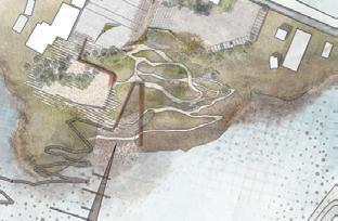
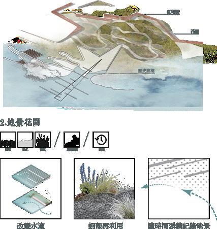
The water flowing through naturally cleanses the oyster ponds, bringing sediment and nutrient salts that serve birds and oysters. The action of water in the landscape transforms time into tangible elements.
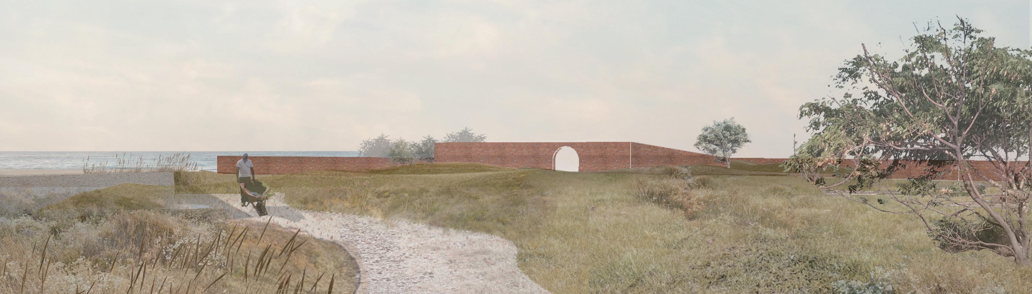
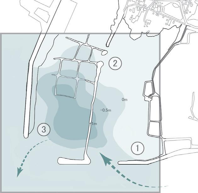
Remove portions of the concrete embankment at the site and alter the water flow within the area using tidal changes, topography, and low walls.
water flow
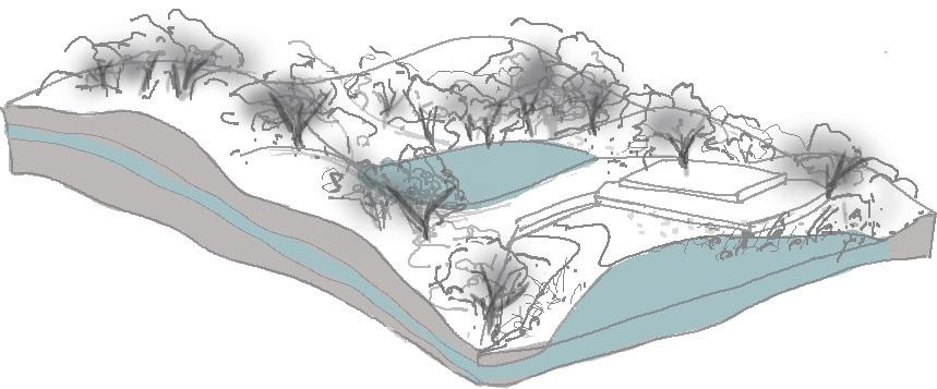
Breaking parts of the seawall to allow seawater in, providing food for birds. The bird excrement is carried away by ocean currents, aiding in the nurturing of plump and nutritious oysters.
oyster washing area
Unveiling remnants of past salt fields, repurposing discarded oyster racks into sand barriers to accumulate oyster shells. Using tides to cleanse the shells and gradually forming a new landscape over time.
Settlement design concept
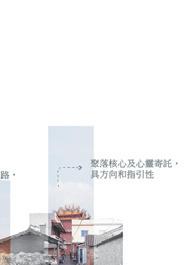
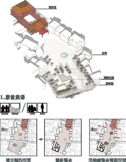
Extend the axis of temples and settlements to establish the position for the historical landscape corridor, intertwining the boundaries between the settlement and the salt flats in a meandering fashion.
Establishing a directional focus
Using Jhunan Temple as the core and the five generals' temples as boundaries, as the basis for village orientation and site construction.
The dialogue between humans and the sea.
Reinforce the axis from Temple towards the sea, partially dismantle the seawall, and utilize the landscape to mend the boundary between people and the sea.
history through changes in the landscape.
The transition from sacred space to mundane space
Turning the transition from natural to manmade spaces into a bodily experience, embedding reverence for the heavens and earth into the lives of the common people.
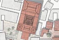
Reintegrate the divided Temple Square.
Public oyster shelling area
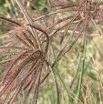
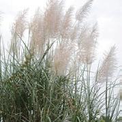
Rhynchelytrum
Terminalia catappa
03
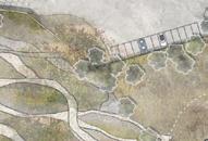
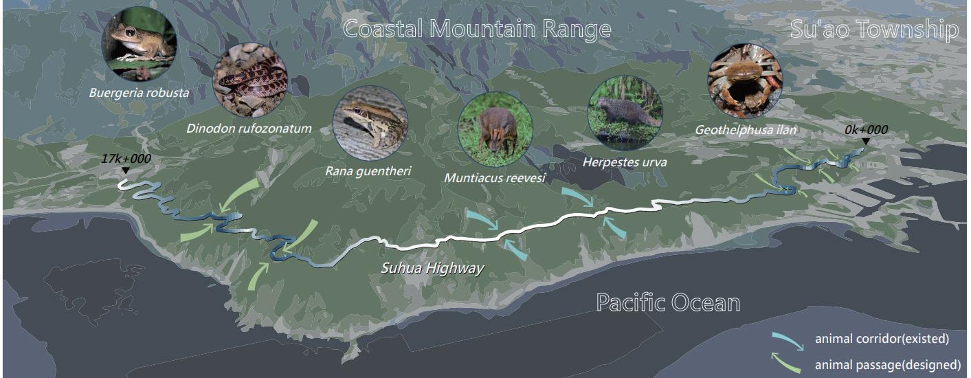
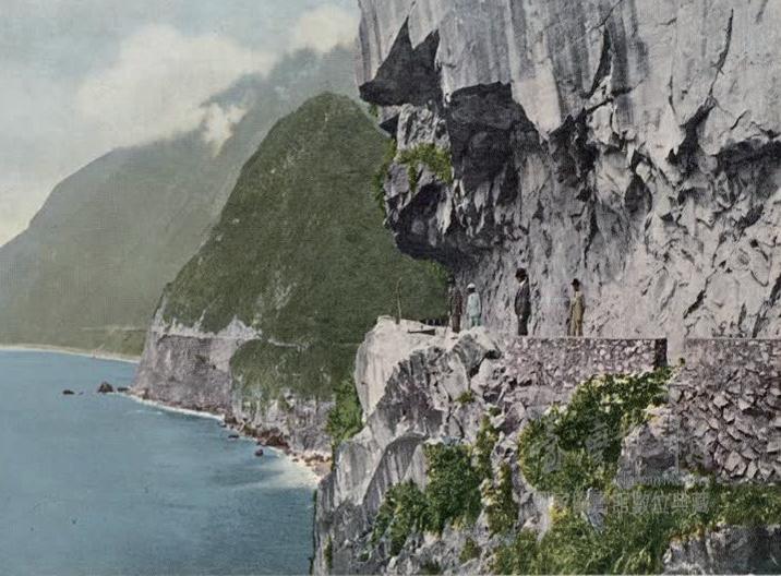
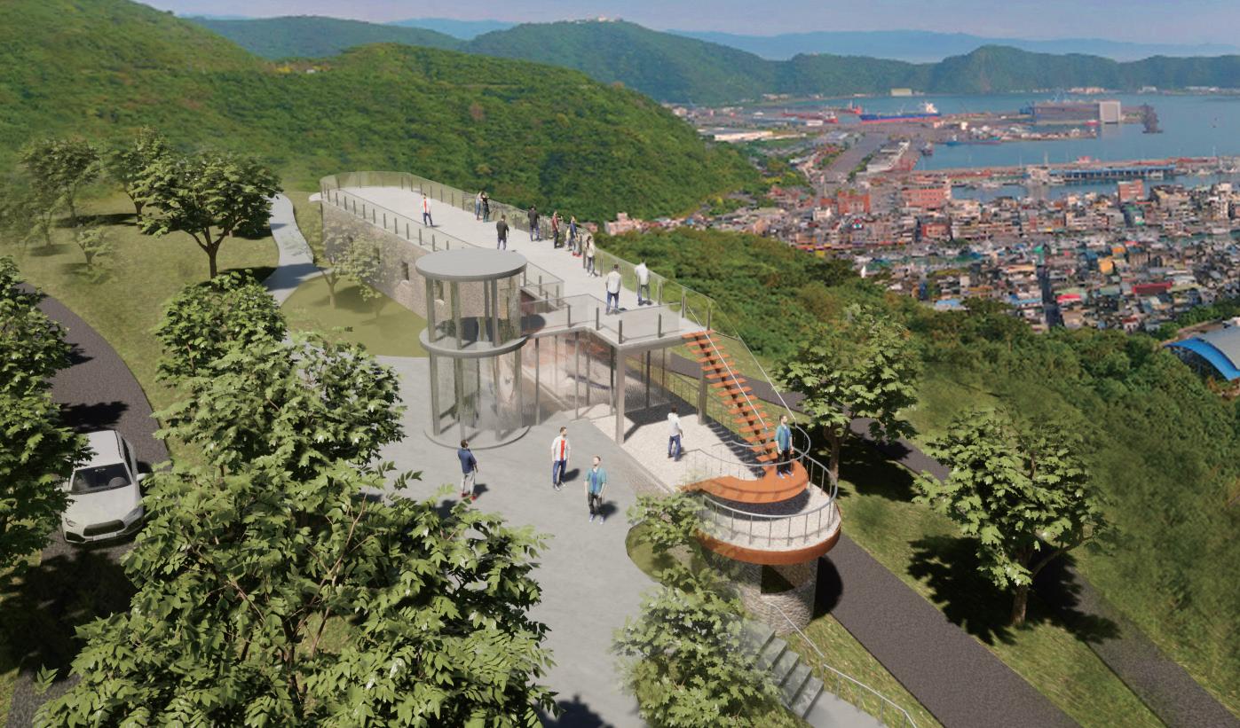
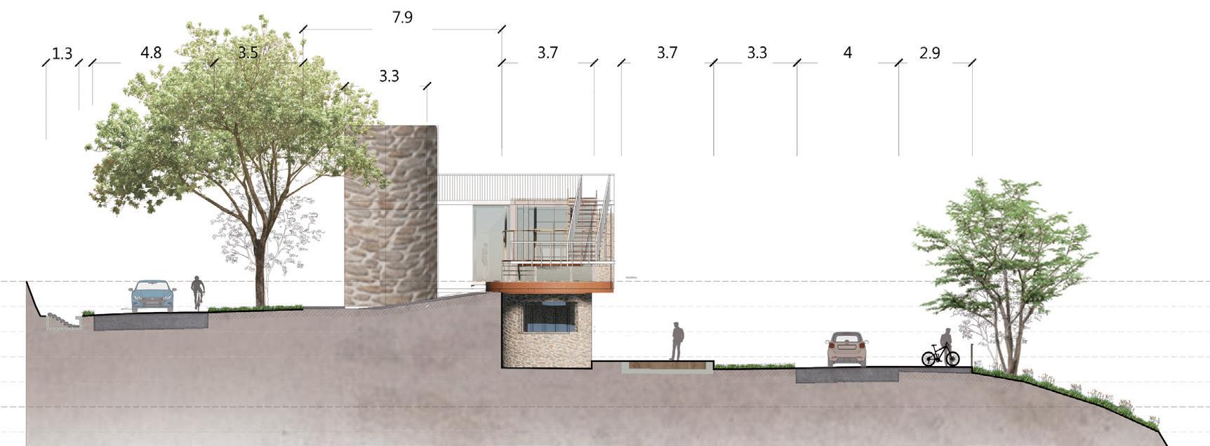
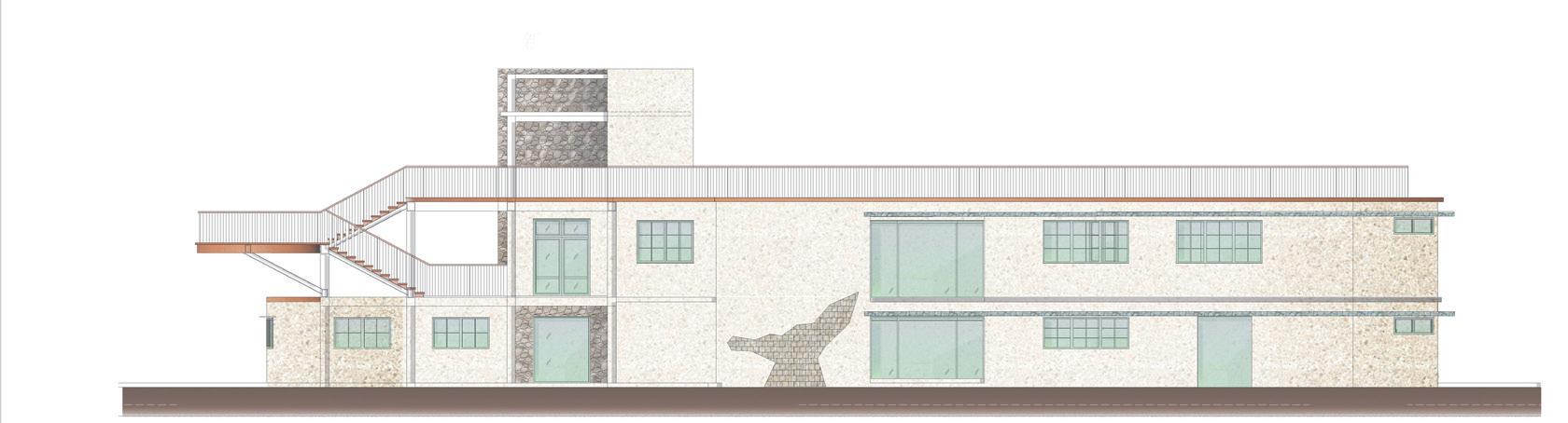
National Pacific Coast Scenic Highway
—Coastal fishing village landscape regeneration planning
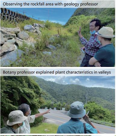
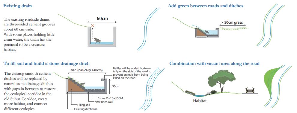
Many Taiwanese still remember how the government built the Suhua Highway with a belief that man will conquer nature. This project plans to make a slowmoving highway for pedestrians by means of almost natural building methods that fit the site to develop “soft power”in a manner that respects nature.
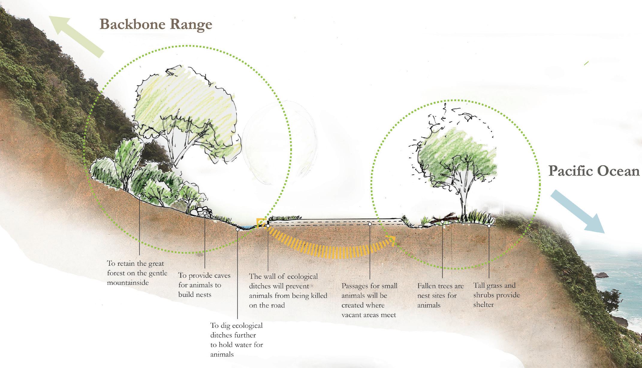
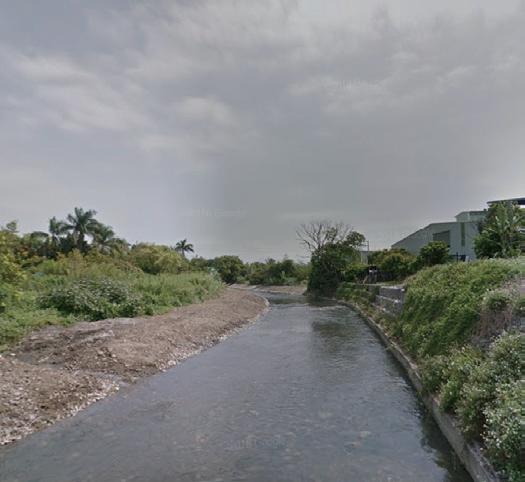
The existing roadside drains are three-sided cement grooves about 60 cm wide.
With some places holding little clean water, the drain has the potential to be a creature habitat.
To fill soil and build a stone drainage ditch
The existing smooth cement ditches will be replaced by natural stone drainage ditches with gaps in between to restore the ecological corridor in the old Suhua Corridor, create more habitat, and connect different ecologies.
Add green between roads and ditches
Combination with vacant area along the road
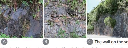
The wall on the south side of Suhua Highway
Backbone Range
Pacific Ocean
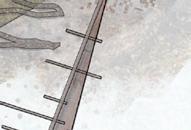
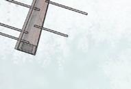
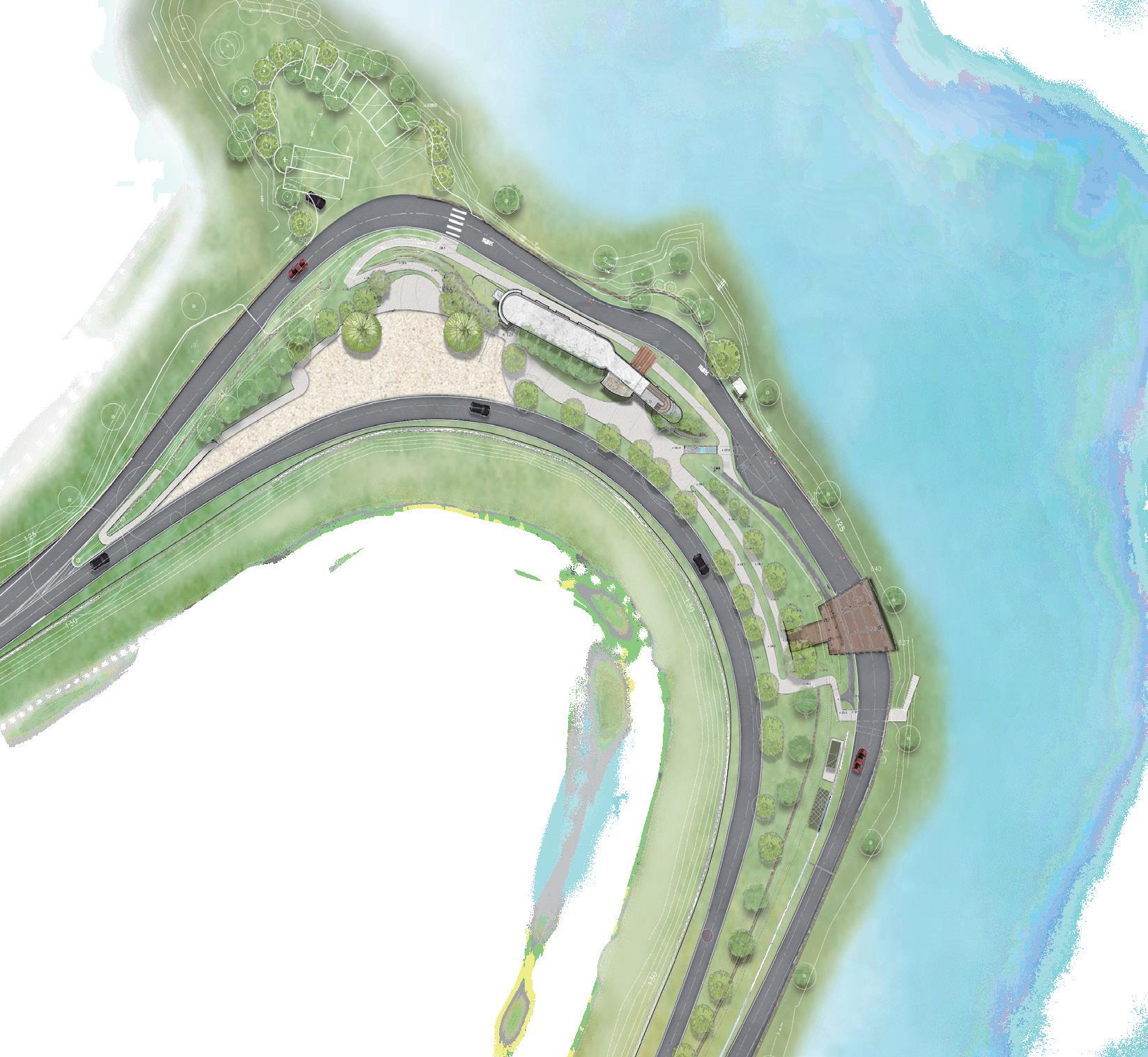
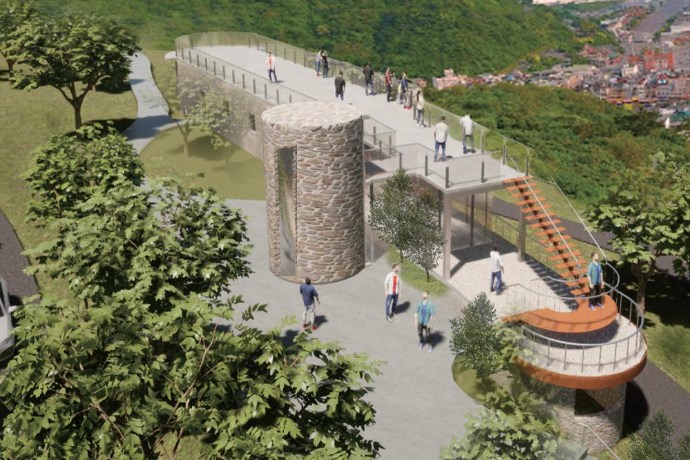
Accessibility ramp
Weigh station
Entrance plaza Set up accessibility ramp to observation deck
Southbound lane
Northbound lane
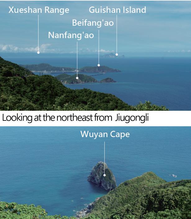
Nanfang'ao Observation Deck
Elevation
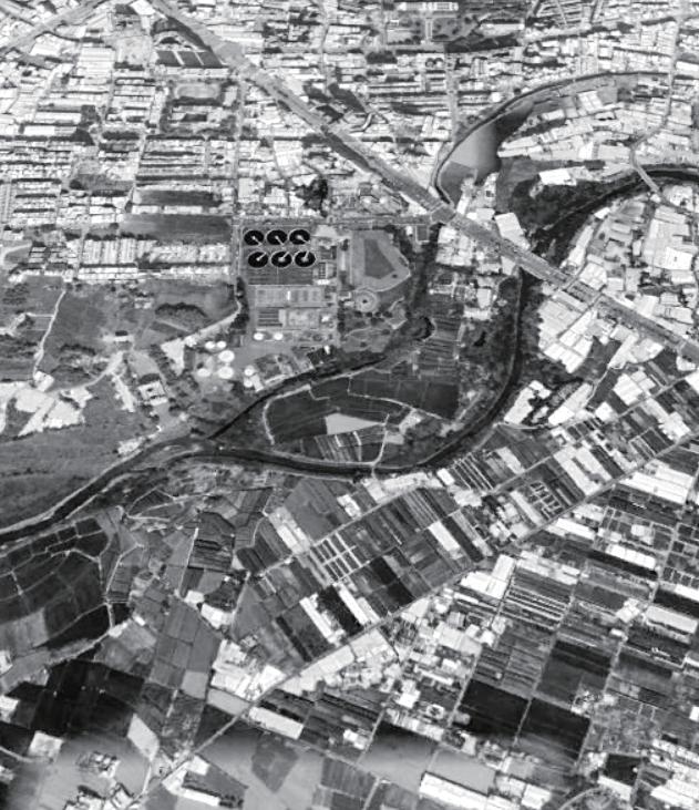
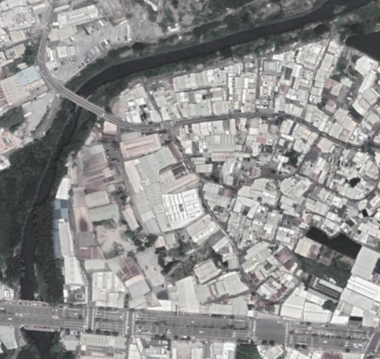
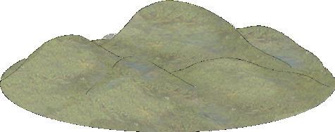
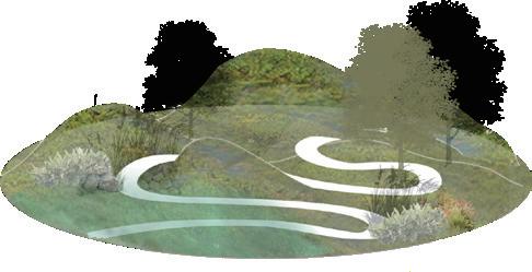
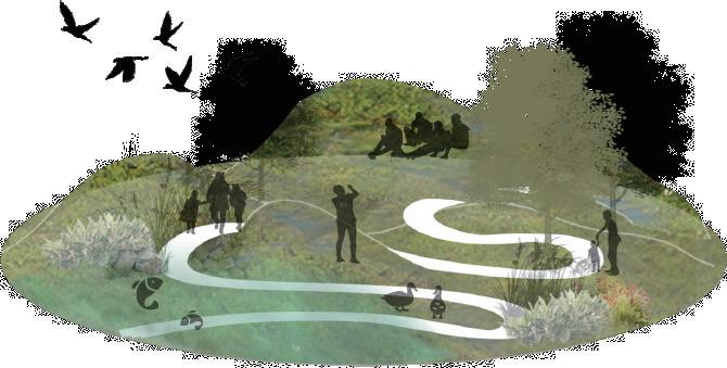
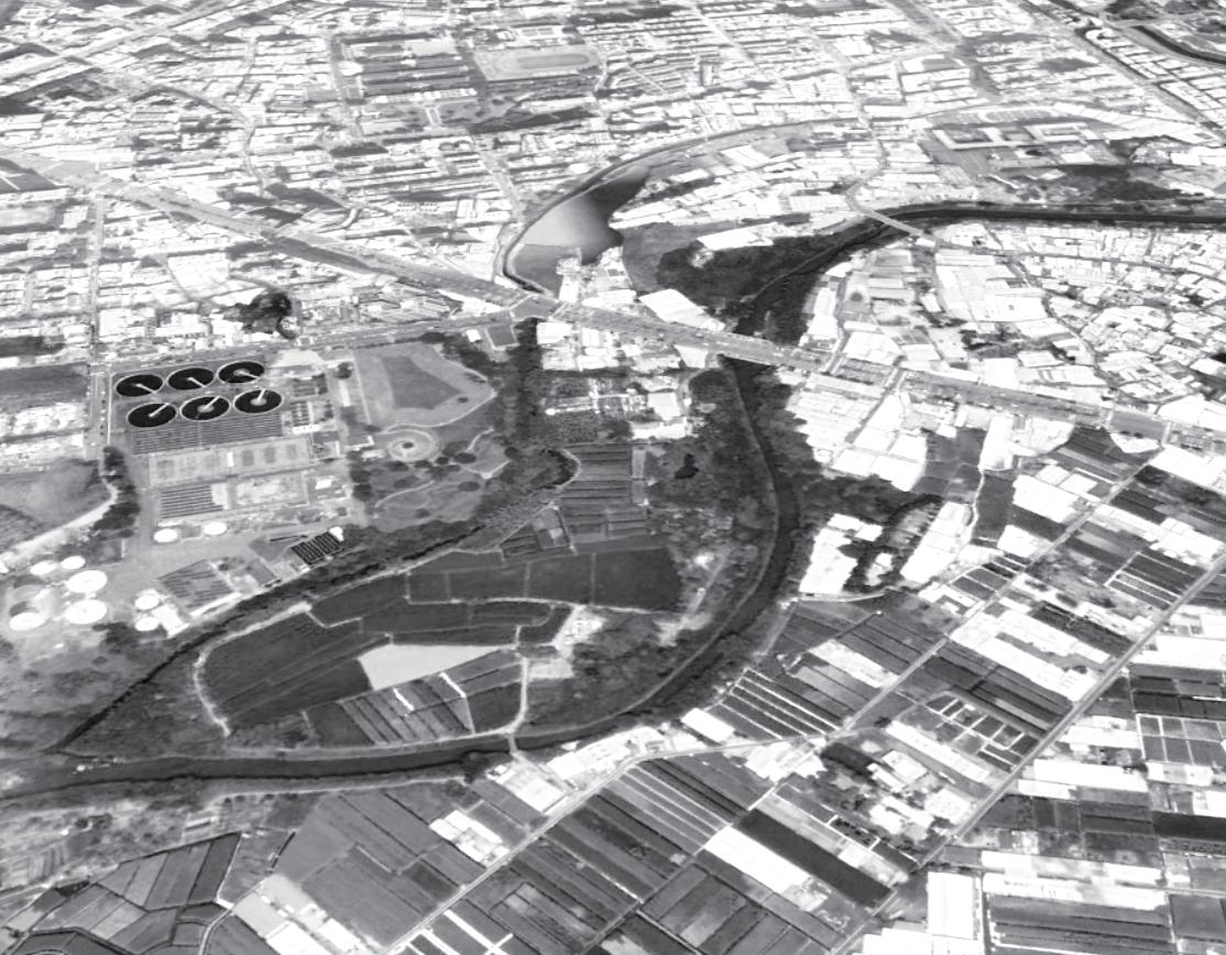
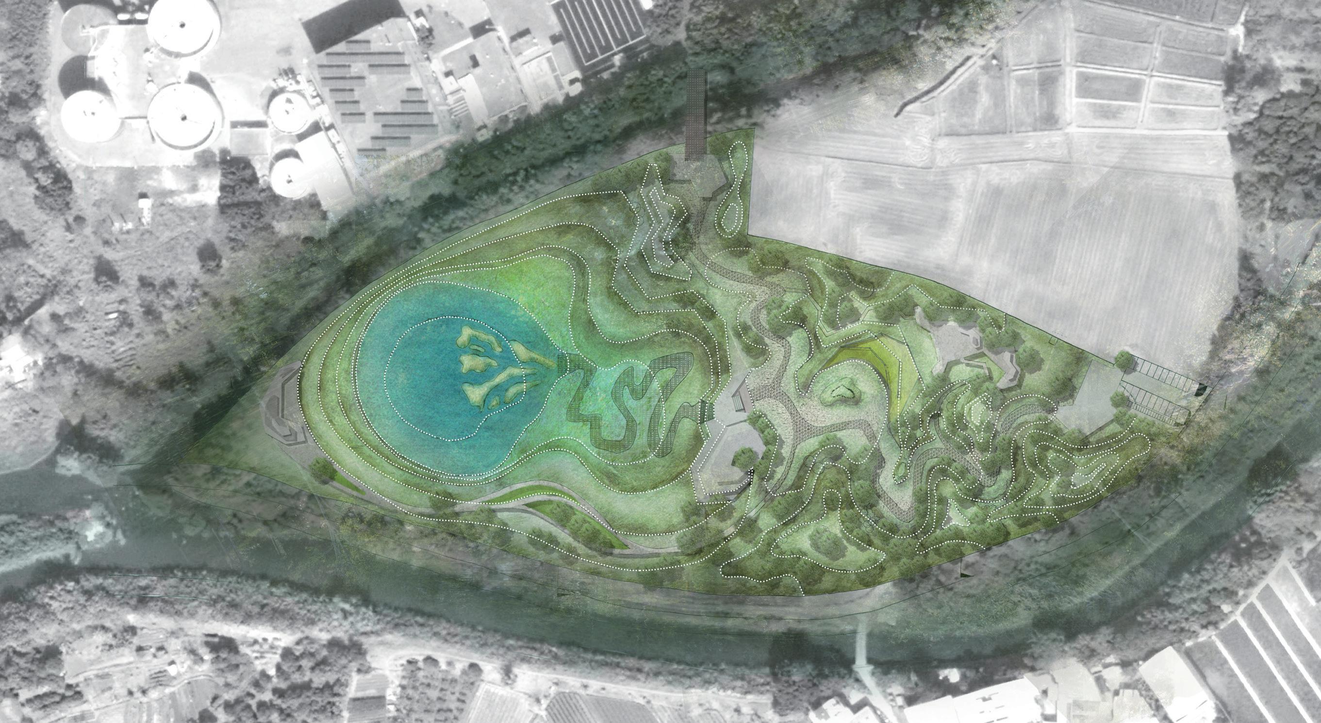
Waterfront Oasis Park
—Design of a Detention Basin Park
May, 2020
Site: Taichung City, Taiwan
Tutor: HE,LI-JHIH
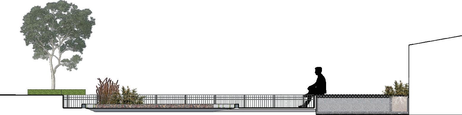
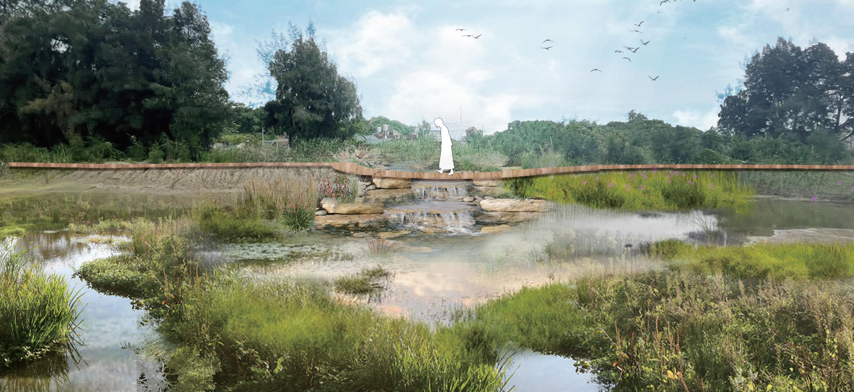
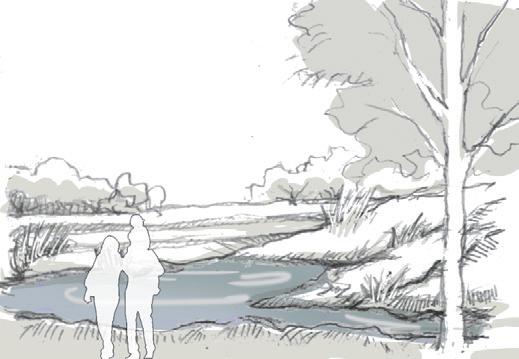
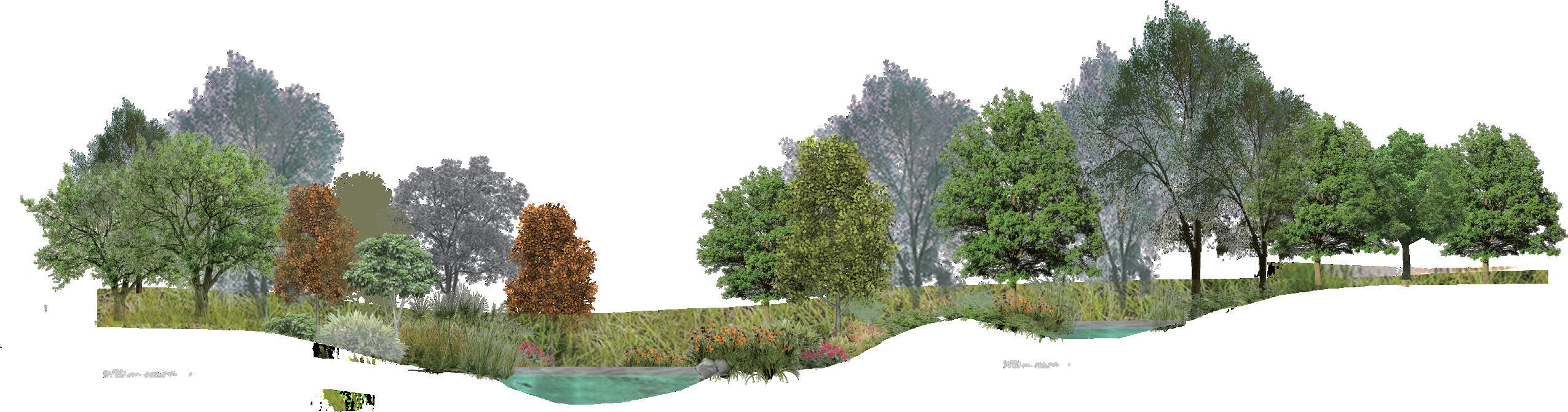
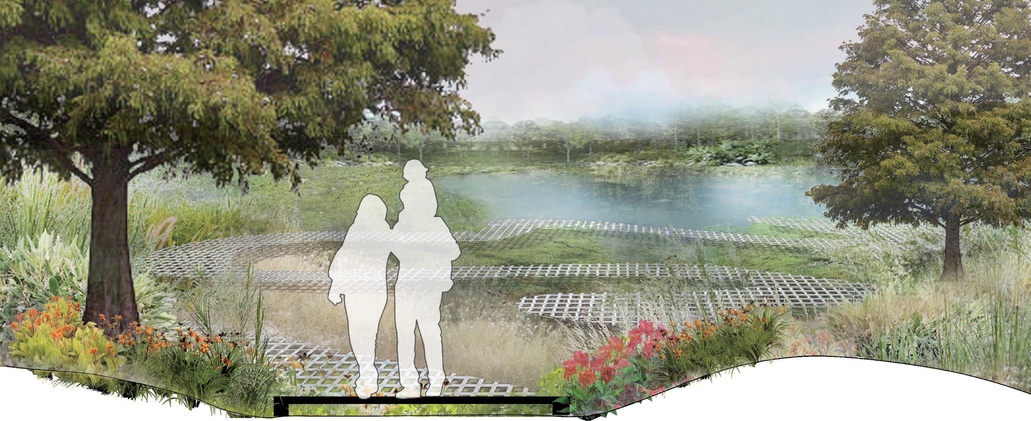
Replicating the changes in riverine topography— erosion, transportation, and deposition— gradually widens the valley and slows down water flow. This process aligns with the principles of ecological water purification—slowing down the flow of water. Coupled with artificial wetlands and leveraging the natural terrain of the site, the water undergoes a series of terrains, plantations, and gravel before reaching the detention ponds, cleansing the water along the way.
The green space is surrounded by buildings.
Low Im-pact Development
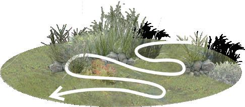
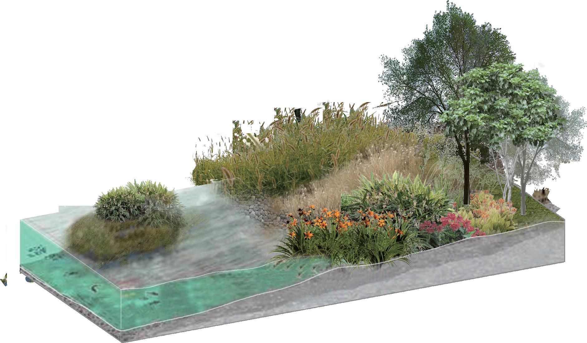
Planting Plan
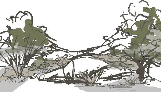
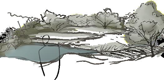
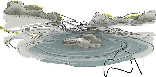
Ecological island:
Limiting human interference to provide a quiet habitat for wildlife.
Detention basin provide a conducive habitat for aquatic organisms.
Planting water purifying plants. Providing food sources and hiding spaces for animals.
The plant belongs to the Costus genus in the ginger family and serves as food for butterfly larvae. It blooms from May to July.
It blooms from July to November and has the ability to purify water quality.
This is a perennial herbaceous plant that blooms from May to November, thriving in ample sunlight and a humid climate.
It blooms from July to November and has the ability to purify water quality.
This is a deciduous tall tree that changes color with the climate, turning from green to yellow to red between November and March. It has the ability to purify water.