


MAPATHON PERU 2021 LEGACY Experiences in open mapping, development and inclusion 22 de Noviembre de 2021

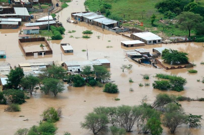
Why do we feel that year after year the same story repeats itself every time some natural phenomenon occurs, such as the frosts in the highlands?
“It is not enough to have defined the risk scenarios. To improve people's living conditions, infrastructure, sanitation, the health sector have to be taken into account, and good education and communications services must also be taken into account " (Zeballos, 2021)
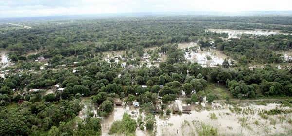
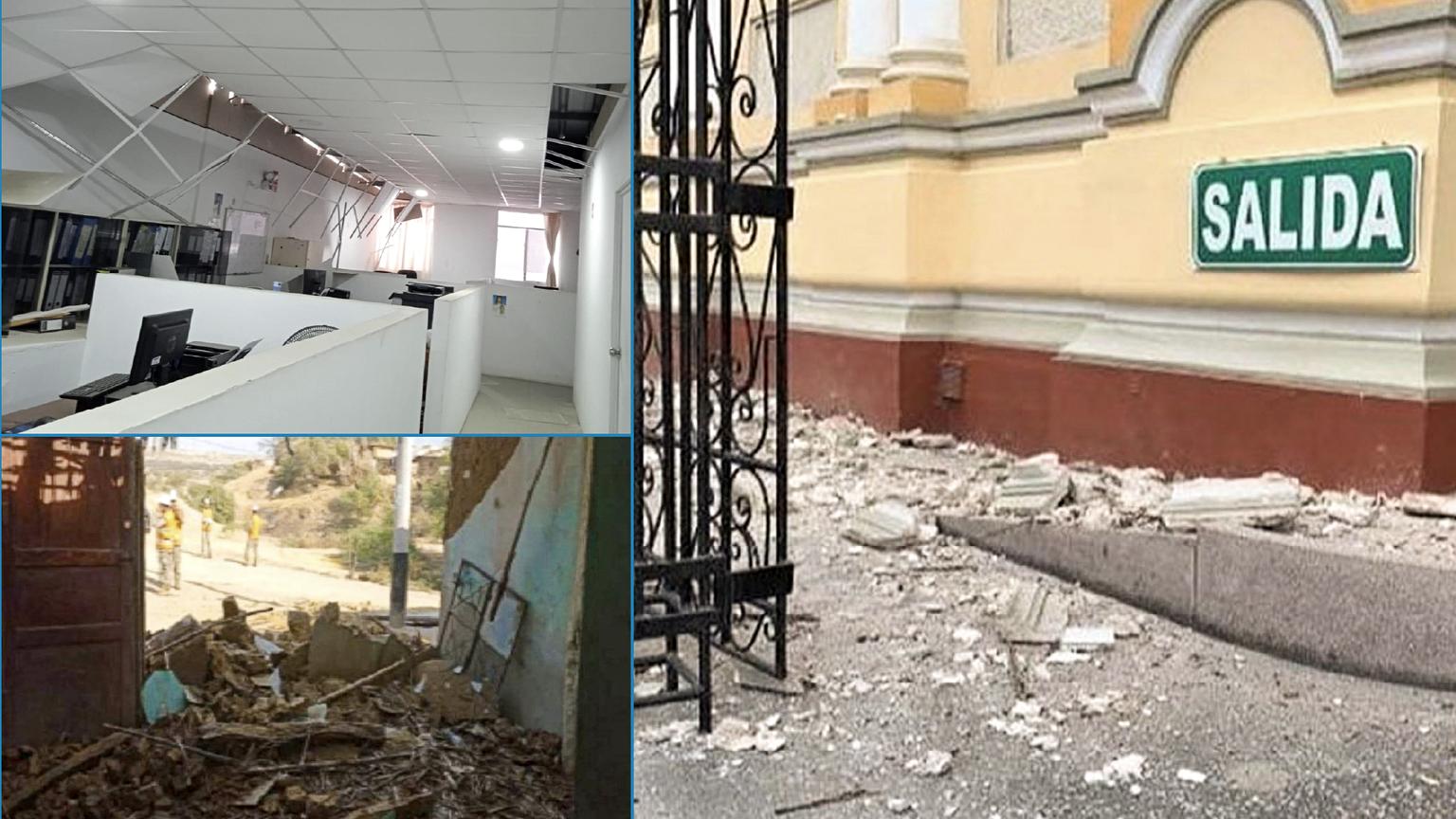
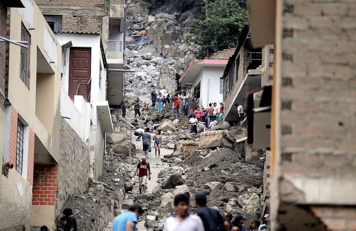
Earthquakes are not the only natural phenomena that threaten the country. Due to its geographical and meteorological characteristics, Peru is exposed to tsunamis, volcanic eruptions, temperature drops, soil erosion and floods.


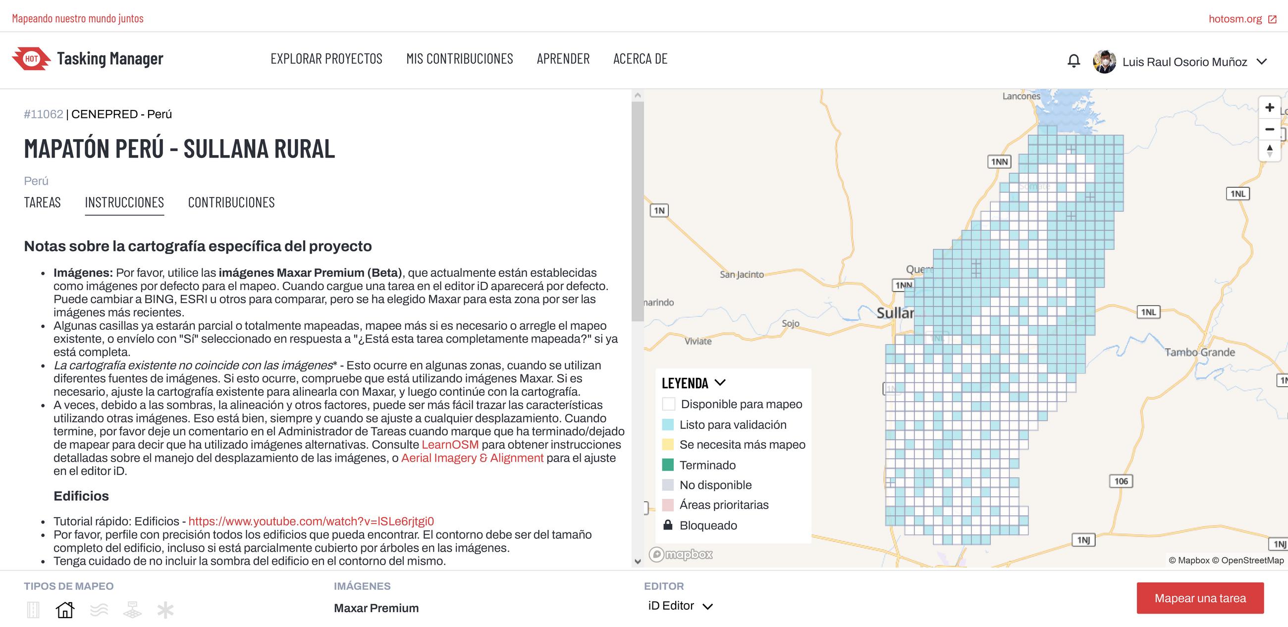
The Peru Mapathon is an event organized within the framework of the celebration of the Bicentennial of the Independence of Peru in collaboration between the Peruvian government, academia, and the regional Group of Earth Observations (AmeriGEO). The objective is focused on Disaster Risk Management (DRM) and seeks to generate a transdisciplinary, participatory, and collaborative experience that brings participants closer to the management and use of geospatial data, including PerúSAT-1, for decision-making.
This initiative seeks to collectively map problems oriented to Disaster Risk Management (DRM) under different modalities, prioritizing interinstitutional collaboration of the local governments and universities at the national level, promoting research and development in the field of science and technology.
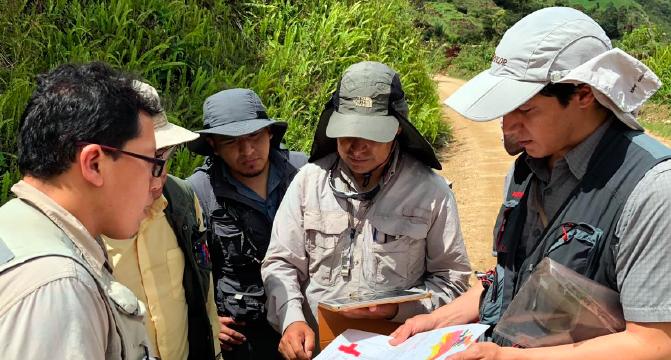
After these experiences, some entities in order to be able to continue with this work called on the participants to be able to follow the development of these activities, such as CENEPRED, in its work to prevent natural disasters, CONIDA, which provided its constant support in the mission of disseminating these practices and Amerigeoss in order to strengthen the mapping and analysis tools of this information.
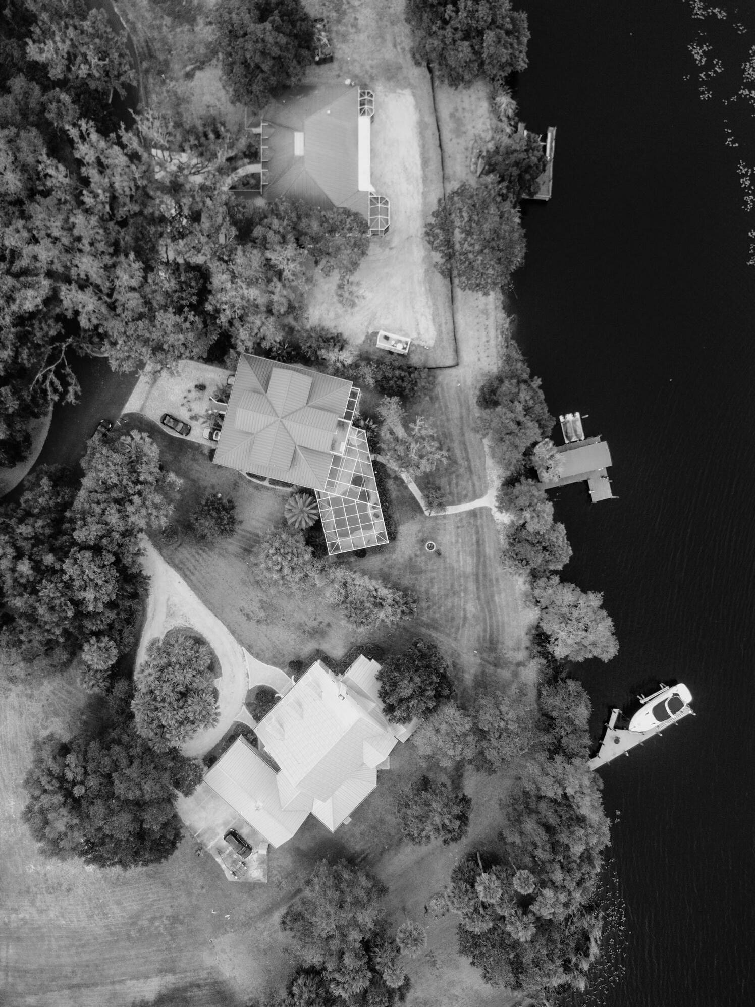
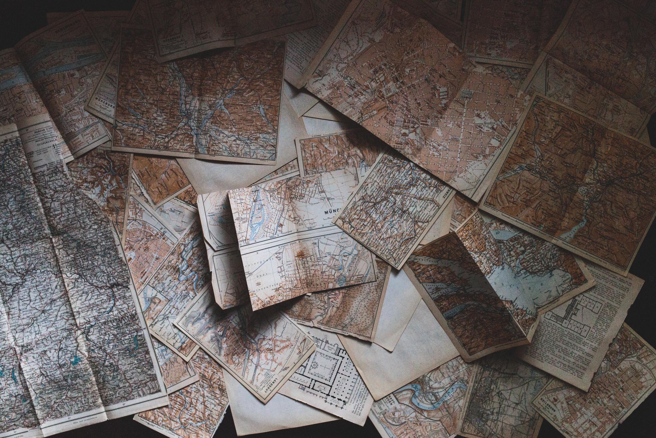
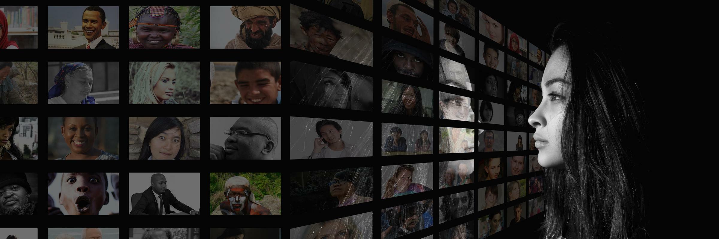
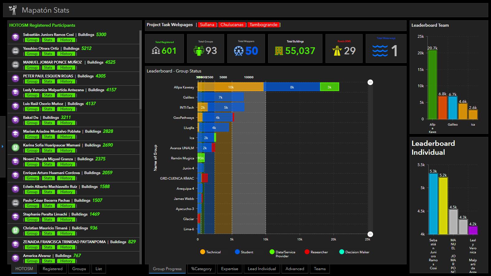
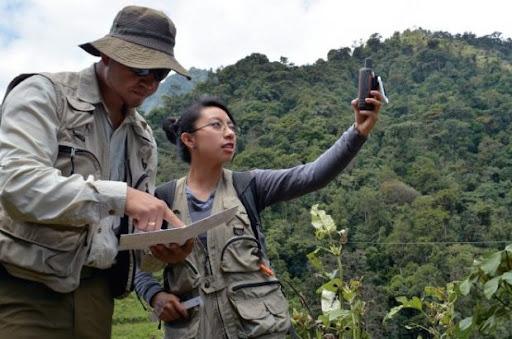
To be able to find solutions that involve populations where mapping and cartography have not reached, those places that are inaccessible. They can update their information and in this way exist on Peruvian maps. Also the strengthening of the local mapping community that Telegram uses to communicate and support each other among its members.
This type of strategy will be replicated in different regions of the country. The communities, the primary stakeholders, will be trained in mapping techniques.
GIS mapping, supervised by qualified personnel, would be disseminated in a more user-friendly and simplified way. Social projection activities were promoted from the academy for the benefit of people and decision-makers contributing to the constant updating of information.