


1 SPRING STUDIO 2022 STUDIO
(of Science) Human Settlements OR Master (of Science) Urbanism, Landscape and Planning Faculty of Engineering and Department of Architecture
Academic Year 2021 - 2022 © Noviantari / Samantha / Wim?
LISBON, THE TRANCÃO FLOODPLAIN Lisbon, Portugal Master
Studio Teachers: Ana Beja da Costa (School of Architecture, University of Lisbon), Wim Wambecq (KU Leuven)
© Copyright KU Leuven
Without written permission of the editors and contributors it is forbidden to repro duce or adapt in any form or by any means any part of this publication. Requests for obtaining the right to reproduce or utilize parts of this publication should be addressed to Faculty of Engineering and Department of Architecture, Kasteelpark Arenberg 1 box 2431, B-3001 Heverlee.
A written permission of the editors and contributors is also required to use the methods, products, schematics and programs described in this work for industrial or commercial use, and for submitting this publication in scientific contests.
2
ISBN 9789464447248
3
4 TABLE
01 STUDIO CHALLENGE 03 STRATEGIC PROJECTS 02 MAPPING THE FUTURE 05 ACKNOWLEDGEMENTS 04 CASE STUDY ANALYSIS 07 25 41 365 215
OF CONTENTS
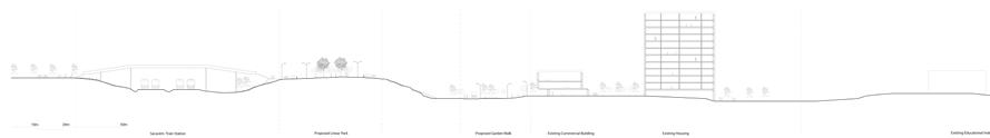
03.01 Foz do Trancão / Expo '98
Noviantari, Samantha Arbotante, Jules Descampe, Gilles Houben 65 03.02 Sacavém
Maria Rafaela Armoutaki, Aliki Tsouvara, Lakshiminaraayanan Sudhakar 95 03.03 São João da Talha
03.04 Frielas
Edwin Kabugi Karanja, Arthur Van Lint, Océane Vé-Réveillac
03.05 Infantado
Kshitij Makhija, Anagha Pandit, Michelle Estefania Valladares Vaca
03.06 Santo Antão do Tojal
Fatma Ben Hfaiedh, Ana Veronica Martinez Reyna, Kenneth An-Khuong Nguyen 147 163 195
Yasmine Baamal, Albert John (AJ) Mallari, Taki Tahmid Saurav
5
43
STUDIO CHALLENGE
7 01
© Wim Wambecq
THE METROPOLITAN CONTEXT
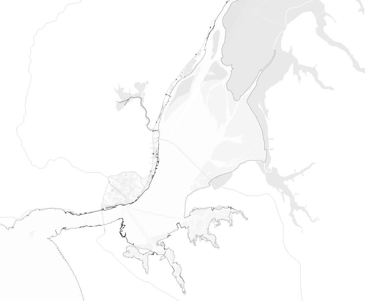
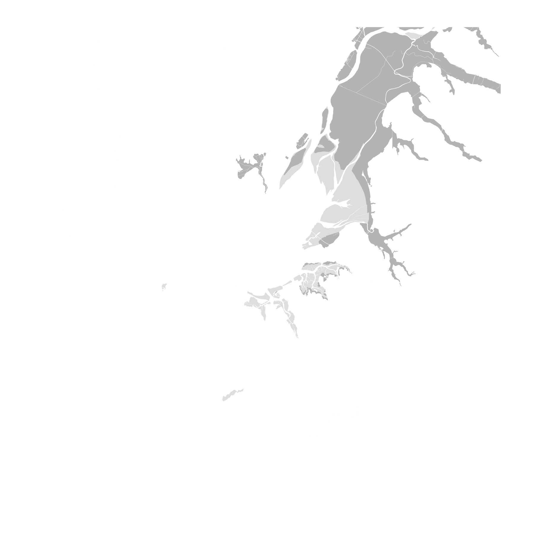
The Tagus estuary is the largest estuary in Europe and its vast water body is at the center of the Lisbon Metropolitan Area (LMA). It is the common ground that originated many (urban) settlements with distinct genesis, settlement fabrics, interwoven economic activities and social structures, supported by its ecological richness and by its sheltered geography that favored the port development and associated activities. Lisbon, the millenary capital city, sits on the north bank, but many more urban centers integrate the LMA, with many of them punctuating the margins of the estuary.
Throughout the 20th century, shifts in economic activities, abundant rural-urban migration and car-oriented expansion resulted in an increased disconnection from this geography with urbanization dispersing development away from the estuarine dynamics. In sprawling territories, facing considerable problems of ecological fragmentation, urban dispersion and inefficient mobility, such as those found around Lisbon’s municipal boundary, there is the need to articulate various systems and to promote a better-balanced, resilient and qualified serviced living space. Particularly in transitional territories faced with physical barriers, heavy infrastructures and splintered urban fabrics, coherently shaped synergic, continuous and connected networks, such as green infrastructure, transport and urban amenities, are fundamental to address emerging challenges of more open and adaptable living spaces, environmental resilience to water-related phenomena, low-carbon mobility and territorial cohesion.
throughout the Loures Municipality (as in other municipalities within the LMA), there is a strong acknowledgment of high potential regarding territorial regeneration based on the inherent richness and resourcefulness of the landscape and its natural and cultural heritage, diverse and active human capital and introduction of new fields of economic development (tourism, nautical uses, sports, new economic sectors, ecological services) (Santos, 2021).
The LMA was created in 1991 to establish strategic spatial and social cohesion for the Lisbon metropolis. It includes 18 municipalities and houses 3 million inhabitants (a number that is still increasing), correspondent to almost 30% of Portugal’s population. It concentrates around 25% of Portugal’s active population, 30% of the national companies and contributes to more than 36% of the gross domestic income.
The LMA has an Atlantic coast with 150km and a riverfront with approximately 200Km. with a varied landscape morphology and abundant natural richness with particular environmental, landscape, economic and leisure qualities whose potential can be further exploited, while it is an absolute and evident priority to preserve and enhance the mentioned landscape qualities. It encompasses two major estuaries; the Tagus and the Sado, and five protected areas which are integrated in the Natura 2000 European network. It also encompasses two main ports: Lisbon and Setúbal, and three medium scale fishing ports: Sesimbra, Cascais and Ericeira. The main ports are having an increasingly relevant role due to its hinge position between northern Europe, the Mediterranean and Africa.
The development process of Lisbon’s Metropolitan Area in the second half of the 20th century is commonly regarded as highly fragmented, and disruptive in terms of infrastructural provision, morphological coherence and open space/ecological continuity. This process left significant problems for which specific spatial responses are required, namely post-industrial sites, splintered patches of open space, substandard and fragmented urban fabrics, badly integrated and car-dependent mobility, monofunctional and poorly equipped living spaces. On the other hand, and
Lisbon’s Metropolitan Area aims at affirming itself as a competitive touristic destination, based on the wide range of resources for which there is an increased international demand, such as ‘city-breaks’, cultural tourism, conference tourism and cruises. In the future, it aims, as all metropolitan areas internationally, also at gaining relevance as an innovation and technological development hub, with a specialized tertiary sector growth. The ports modernization, the logistic platforms expansion, a
8
new international airport, the link to the high speed railway European network are forthcoming challenges as well as opportunities. (AML, 2022)
Studio Lisbon investigates near future scenarios for the Lisbon Metropolitan Area. At the metropolitan scale, it investigates the estuary’s adaptive role in the face of current urban challenges that can contribute to the resilience and environmental robustness of the territory; to a sustainable and low-carbon mobility network; and for inclusion and territorial cohesion, exploring strategies to tackle the climate change crisis (Santos and Matos Silva, 2019), which in Lisbon´s context aims at responding to the need of adaptation facing extreme climate events challenges, such as more frequent heat waves, droughts, and overall changes in the water dynamics, with more frequent flash floods episodes, and subsequent erosion, landslides and soil loss. The expected sea level rise scenario, more frequently combined episodes of high tides and sudden precipitation can cause significant impacts on the urbanized areas of the LMA (CEDRU, 2019).
In this context, green and blue infrastructure, walkability and active mobility, and neighborhoods connection and cohesion are layers that altogether reflect upon possibilities for the sustainable development of Lisbon’s metropolitan area, both from an ecological perspective and as place of inhabitation. The studio therefore does not limit itself to the estuary and its shores but includes a tributary of the Tagus - the Trancão river and its floodplain - as main landscape entity that defines (part of) the systemic functioning of the metropolis.
9
© Atlas da Area Metropolitana de Lisboa, 2003
Divisão administrativa da AML
2000
Lisbon Metropolitan Area
Sul.
INSTITUTIONAL COLLABORATION


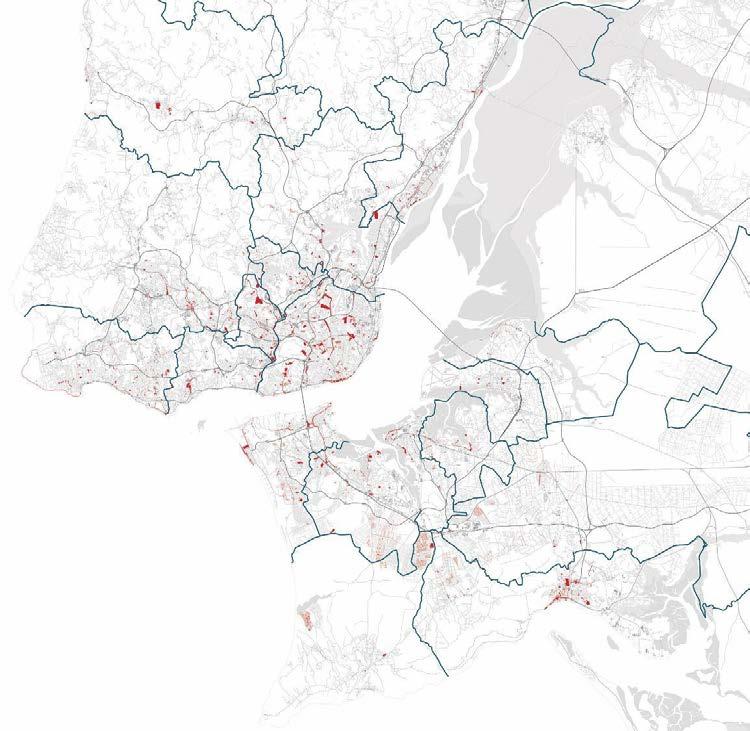
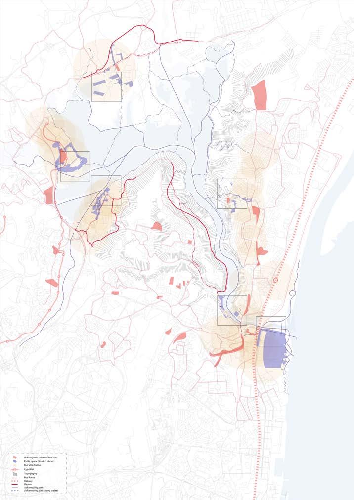
The studio is developed under the framework ‘MetroPublicNet - Building the foundations of a Metropolitan Public Space Network to support the robust, lowcarbon and cohesive city: Projects, lessons and prospects in Lisbon’ research project, of the School of Architecture of the University of Lisbon in partnership with the Lisbon Metropolitan Area Authority, that is running between 2021-2024 (https:// metropublicnet.fa.ulisboa.pt/).
Its main goal is to map, decode, assess and discuss the combined result of public space improvements in Lisbon Metropolitan Area (1998-2020). The research project builds upon the hypothesis that a public space network at a metropolitan scale can offer possibilities to interconnect and integrate various fields in search for synergic responses to today’s societal and urban challenges (Santos and Matos Silva, 2019). The studio also integrates findings of former and ongoing research projects, essays, literature and design exercises that investigate the relation between the Lisbon Metropolitan Area (or parts) and the Tagus estuary. In sequence, Studio Lisbon will also pay particular attention to public space networks that can be sustained and/or proposed by the studio’s design strategies.
DEPARTMENT OF ARCHITECTURE


1. MetroPublicNet: overview of case study identification of public space projects between 1998 - 2020. 2. Lisbon case studies: Ajuda, Lisbon waterfront, eixo central 3.


Soft mobility case studies in Cascais. 4. Vila Franca de Xira case studies. 5. Setúbal case studies. 6.
Ajuda case study: public space interventions; landmarks; porosity of groundfloor; public transport;
FCT, Portugal. Project reference: PTDC/ART-DAQ/0919/2020
10
MASTER OF HUMAN SETTLEMENTS MASTER OF URBANISM, LANDSCAPE AND PLANNING
FACULTY OF ENGINEERING SCIENCES
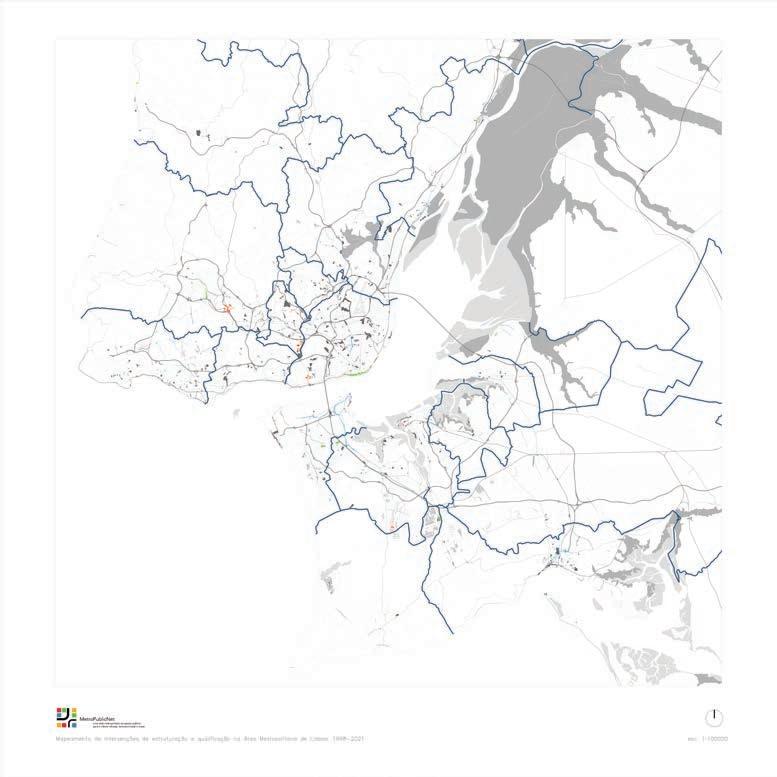
5. © MetroPublicNet, 2022
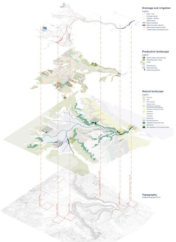
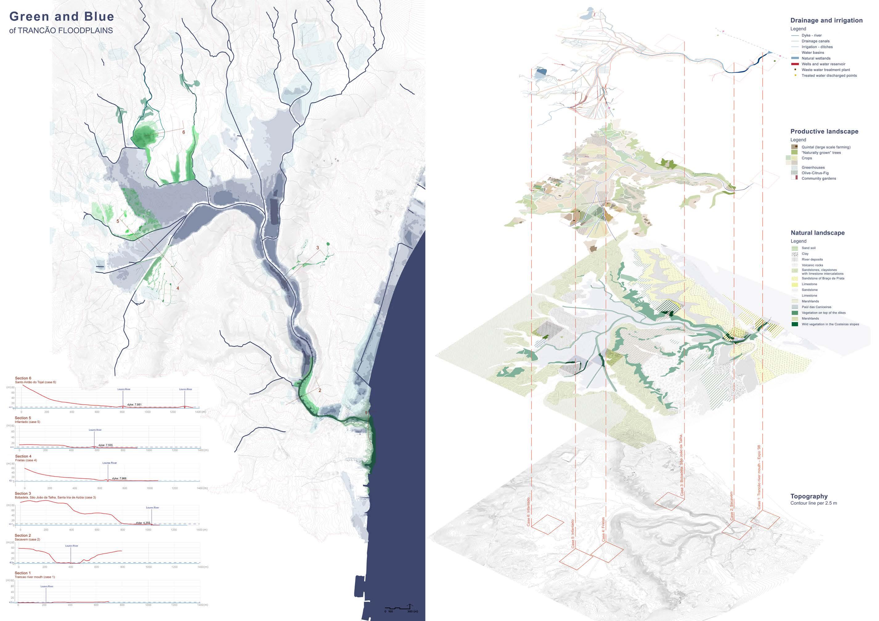
TRANCÃO FLOODPLAINS & LOURES
The design studio will investigate the territory through design on the scale of the Trancão river and its floodplain, a tributary of Tagus, and the surrounding urban patchwork as an outstanding landscape entity and ecological corridor. The studio seeks to explore networks, flows and inhabitation modes that are to become coherent with the specificity of its context within the LMA, and embedded in the broader resilient and dynamic estuarine landscape systems. It aims at combining critical survey / interpretive mapping, complex thinking, and a strategic approach to large scale public space networking and tactical urban design to reimagine this territorial entity as (part of) the systemic functioning of the metropolis.
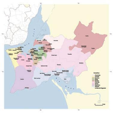
Loures Municipality, within the District of Lisbon, is located in the Greater Lisbon region (NUT II), in Lisbon (NUT III), 7 Km away from the core of Lisbon. It borders with the Municipalities of Vila Franca de Xira on the east, Sintra and Mafra on the west, Lisbon and Odivelas in the south an Arruda dos Vinhos in the north. It encompasses an area of 167,9 Km2 and 18 parishes.
Economy
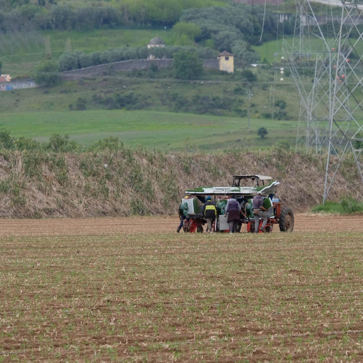
The secondary and tertiary sectors dominate today the region’s economic activity. Machinery and transportation material production, clothing, pottery and chemical products are the main industries. Commerce related to the industrial activity also has a relevant weight. Agriculture as an economic activity still has relevance, namely in what concerns horticultural production for international export.
Landscape
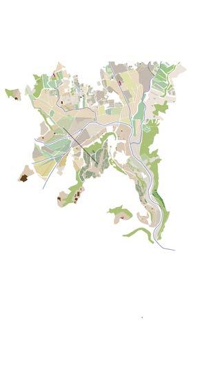
The Trancão river floodplain (Várzea de Loures) is considered a ‘secondary structuring area of the metropolitan ecological network’, and is located in the right margin of the Tagus Estuary, in the south-central area of the Loures Municipality, expanding towards the southeast limit of the Vila Franca de Xira Municipality. Its area is not only relevant for environmental preservation of soil and water resources, but also as excellent areas for agricultural production, taking advantage of the Loures hydraulic resources. As such an agro-ecological balance should be enhanced.
Historic background
Loures historical center was formed around the Igreja Matriz (Rua Fria) and gradually expanded towards the Alvogas hillsides, the river margins and its old dock near the Loures river bridge. In 1179, Loures is mentioned in the independence charter granted to Lisbon. Within Lisbon’s boundaries, Loures had an important role throughout the centuries, as a region that supplied agricultural products to the capital city. Since the 18th century, there are records from salt pans on the Loures floodplains, and of intense commercial activity centered on the agriculture and horticulture products coming from the ‘saloia’ region (from Mafra and Arruda dos Vinhos), using the navigable section of the Trancão river.
Its landscape is characterized by an extensive agricultural plain in the alluvial terrains of the Trancão river, which is influenced by salt water coming from the Tagus estuary tidal influence. The steep rocky hillsides – the ‘costeiras’ - are covered by dense shrubbery cover of Mediterranean species. There are also areas with reeds and intertidal sediments, which are important habitats for several aquatic bird species. The ‘Paul das Caniceiras’ is a floodable area with 14,6 ha by the Santo Antão do Tojal historical center. Besides the presence of several bird species, it is one of the last remaining habitats for the ‘boga de Lisboa’ fish, whose presence is limited to the Trancão river and the Rio Maior stream (CCDR-LVT, 2018).
12
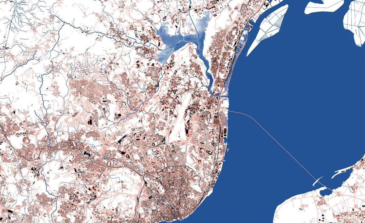
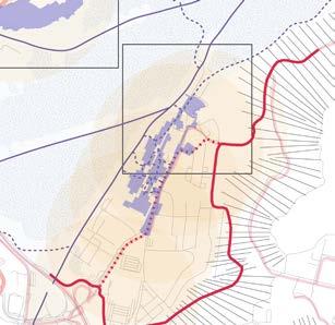
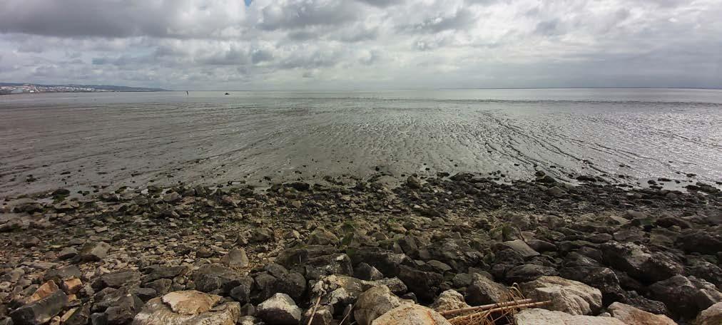
CASE STUDY - TRANCÃO FLOODPLAINS
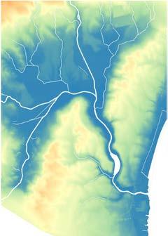
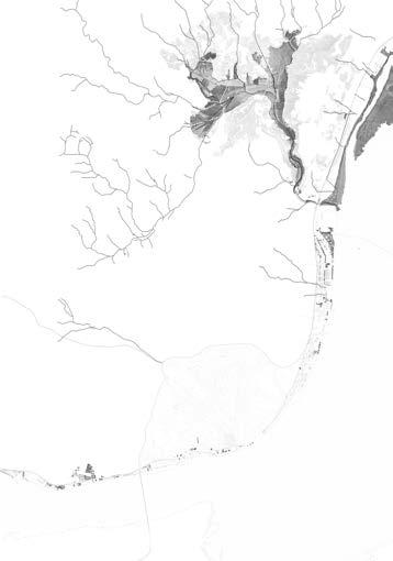
13 © Wikipedia, 2022 Trancão Watershed
TRANCÃO FLOODPLAINS
The Trancão floodplain forms a distinguishable and valuable landscape figure in the Lisbon metropolitan area. Its hydrology is the structural element that lies at the base of its unique natural features, its productive landscapes, its urban morphology…
Current crisis has shown the potential of, and threats to the Trancão floodplains. Since COVID-19 emerged, the floodplains have been sought by an increasing number of people. Non-crowded, aerated, low intensity, and low programmed green spaces have gained a shared interest from the surrounding population, with farmers that before were suspicious about visitors entering their fields, being more welcoming to their temporary visitors. The scale and character of this rural piece, almost at the heart of the Lisbon metropolitan area, is remarkable.
For decades’ urbanization turned its back to the industrialized and consequently polluted floodplain, also prone to extreme flood episodes, such as the devastating ones that took place in 1967. Currently, and with special decontamination efforts around the Expo 98 construction period, soils and water have generally been remediated. Nevertheless, climate change is likely to exacerbate flooding, in combination with the possibility for extreme high tides that enter the Trancão floodplain. At the same time drought – as in this past winter – might be even more problematic as needs for water render the natural wetlands dry, pushing unique fish and plant species towards extinction.
Many challenges lie ahead.
14
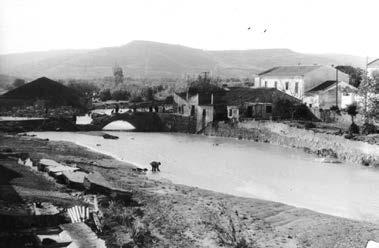
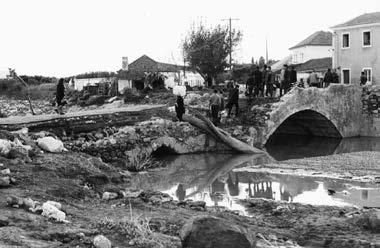
© Arquivo Municipal de Lisboa
1967 Floods of the Trancão river
15
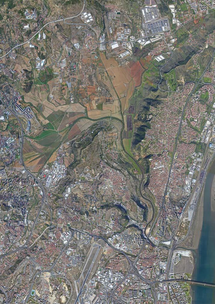
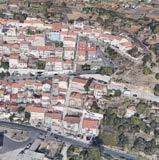
© Google Earth image
The very distinguishable Trancão floodplains
CHALLENGE 1
RESILIENCE AND ENVIRONMENTAL ROBUSTNESS
The water cycle for the Trancão floodplains needs to be recalibrated. The high embankments push water directly towards the Tagus, while it might be more productive to hold and store water as high up as possible. Natural and productive water needs should find a balance through the landscape systems and the rational use of water, but also by optimizing agricultural production, compatible with an optimized water regime and crop choices in relation to soil suitability. The reuse of cleaned sewage water in the two main sewage treatment plants (ETAR) can contribute to this.
The main land use is and will continue be agricultural production. The floodplain is divided into private parcels owned by local farmers. Without their collaboration, the floodplain will not change. Nevertheless, the demand for productive space results in a very narrow natural strip along the main water courses, with steep embankments that are contradictory to the ecological processes of the alluvial plains.
How can a recalibration of a multifunctional landscape allow for the strengthening of ecological processes and biodiversity, the remediation of climate change impact as floods and drought, while maintaining the identity of a rural, productive landscape with strong ecological assets? How can urban development be combined within this landscape and its rural character?
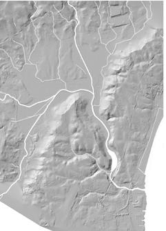
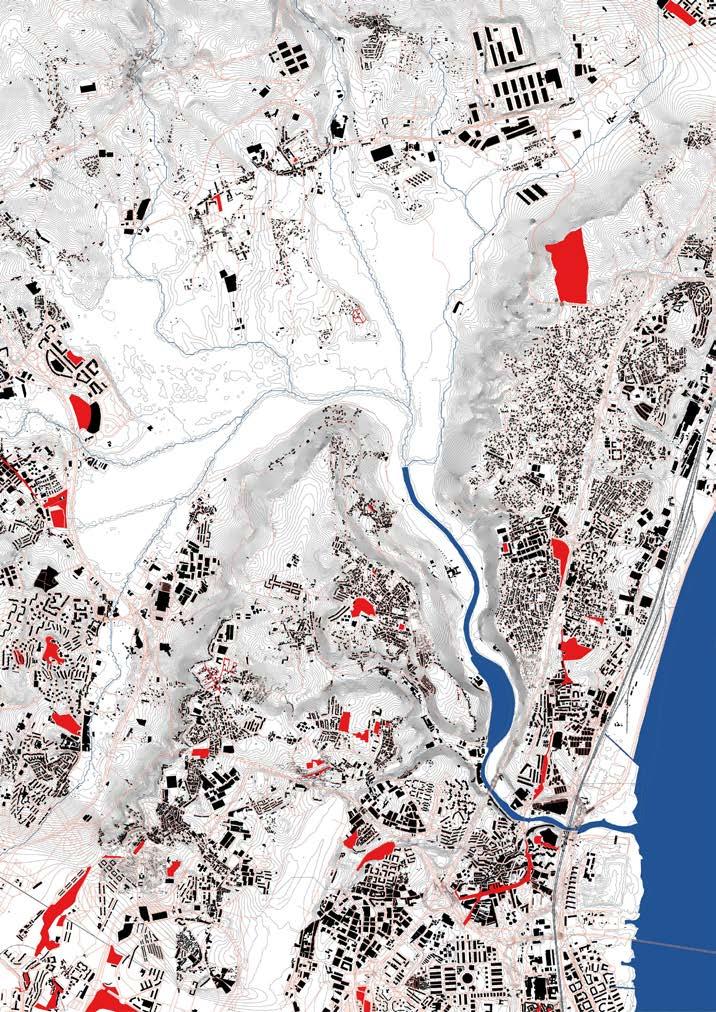
16 © Studio Lisbon Mapping
1. Topography / 2. Hillshade / 3. Slope
1. 2. 3.
Water / Streams / River Flood / Tidal movement
17
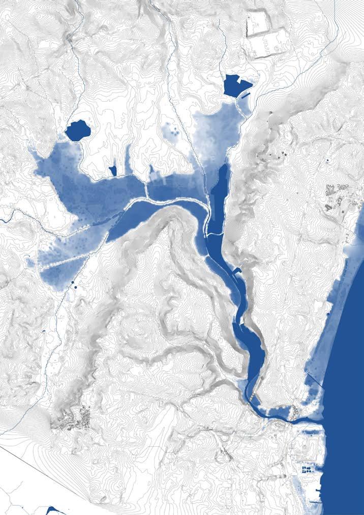
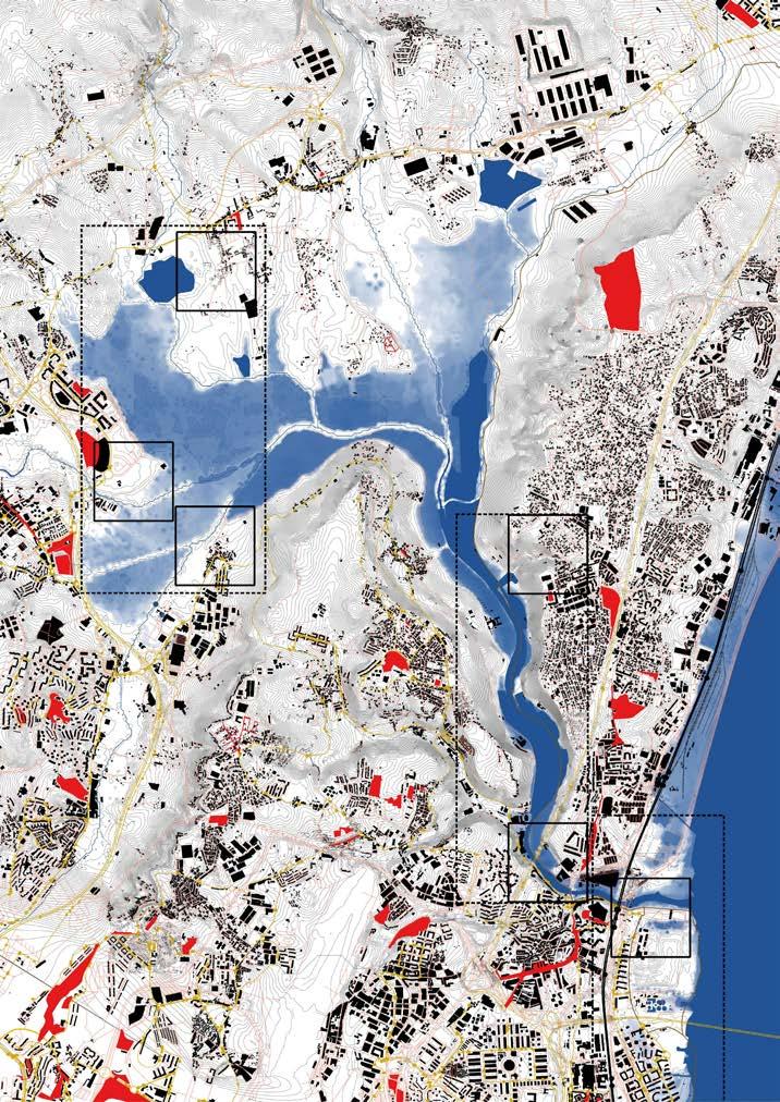
100 Year storm flood scenario - also future SLR scenario? © Studio Lisbon Mapping
CHALLENGE 2
SUSTAINABLE AND LOW-CARBON MOBILITY
To activate the floodplains as a valuable space of connection between the surrounding urban cores, an efficient soft mobility network is needed, that can act as a sustainable alternative to the existing road network that surrounds the floodplain. An important bike connection between Sacavém and Santo Antão do Tojal has been drafted, but has encountered completion delays due to the opposition of some local farmers, as its management requires careful attention. The light metro line that will reach Infantado neighbourhood and São João do Tojal – also still on the drawing table - can introduce a new logic of the mobility network, through new hierarchies or new circulation patchworks.
What would a consistent soft mobility network look like, stretched between the light metro in Loures and the train station in Sacavém? Is there space for a return to some kind of boat transport as before?
1. Road / 2. Soft mobility irt topography 3. Public transport (train, metro, bus...)

18 © Studio Lisbon Mapping
1. 2. 3.
Walking paths
Bike paths
Train line / train stop / Metro stop
Bus line / stop
19
Existing
©
mobility network
Studio Lisbon Mapping
CHALLENGE 3
SOCIAL INCLUSION & TERRITORIAL COHESION
The urban tissue in the most vulnerable areas around the floodplains, and on the hillsides resulted mainly from vernacular / informal urbanization processes. Some urbanized areas became formal (legal) throughout the years, while others lack urban structure and qualitative minimum characteristics for its legalization within the current possible legal frameworks.
Its urban reconfiguration implies finding valuable features that improve neighborhood connectivity and urban cohesion by: -Connecting isolated urban tissues and its wider scale context;
-Providing public infrastructures / public amenities; -Promoting multi-functionality of the urban tissue;
-Public spaces, -its access and setting within the landscape and/or the realization of a new piece of urban tissue that can become strategies to create interfaces to tackle this problematic.
How can urban regeneration be a motor for identity creation? What are the interventions needed – of public space, urban development… - to improve urban cohesion and neighborhood connectivity?
20 © Studio Lisbon Mapping
1. Built + Topography / 2. Road 3. MetroPublicNet + Topography 1. 2. 3.
21 Urbanization and public spaces MetroPublicNet © Studio Lisbon Mapping
Infrastructure Buildings Selected projects MetroPublicNet
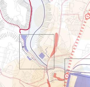
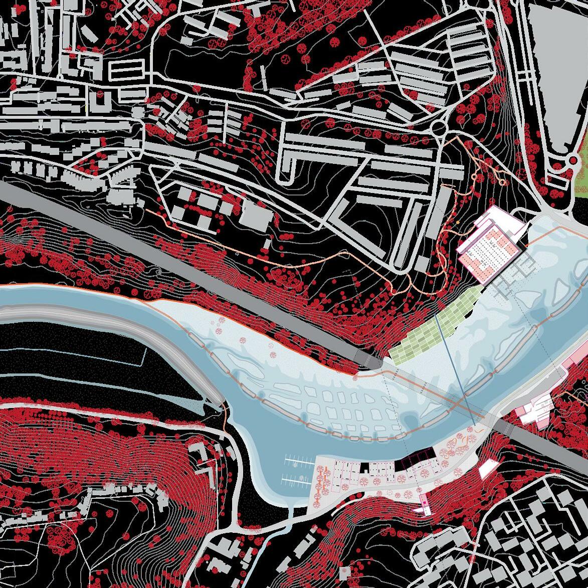
GEOMORPHOLOGICAL FEATURES & CASES
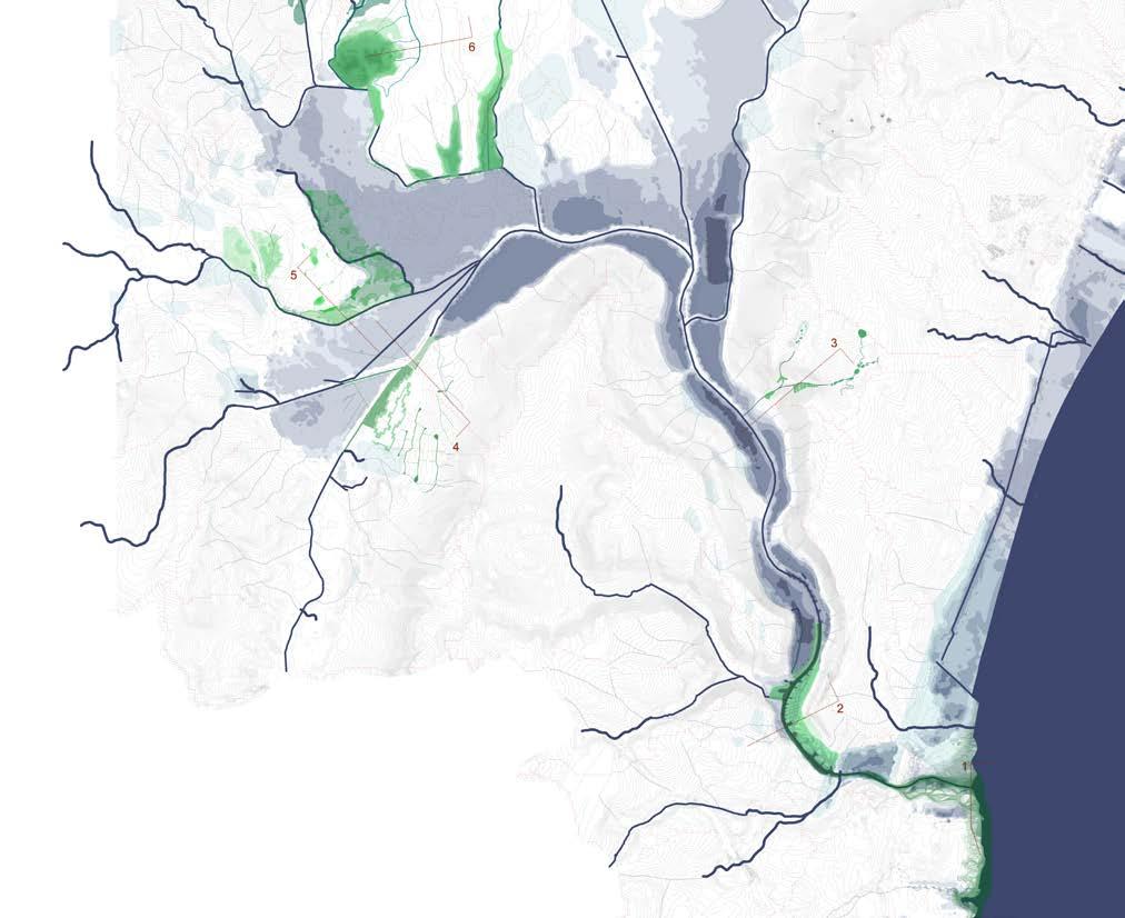
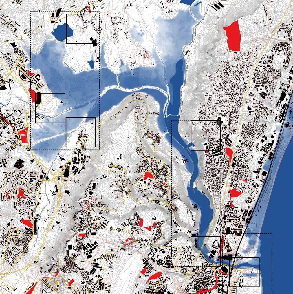
Geomorphological feature 1: the river mouth
The Trancão river mouth arrives into the Tagus river estuary on the transition between Lisbon and Vila Franca de Xira. The river mouth has been avoided for decades as part of the city due to its poor water quality and industrial connotation, just as the whole stretch of the Tagus embankment north and south of the river mouth. Expo 98 was a fundamental turning point. Post-industrial brownfields made way to a new piece of the city of Lisbon. The Expo masterplan was based on its remediation strategy, that defined areas for different uses. The development of the pavilions of the Expo 98 world fair went hand in hand with a mid-term urban renewal project, a new train station, the second bridge over the Tagus estuary –ponte Vasco da Gama -, and the park along the Tagus river. Development was done in parallel with the remediation of the waterfront, envisioned to reach up to the Trancão river mouth. This area of the city is a proven successful case study for urban regeneration. Nevertheless, the pollution of the former industrial activities was stored and sealed in the last land stretch before arriving to the Trancão river, and the project of Expo 98 remains unfinished at its end for more than two decades. The intertidal marshland system of the Tagus estuary, north of the Trancão river, is becoming more accessible, woven together by stretches of bike / pedestrian connections. In the near future, a final piece of the soft connection that forms the missing link between the various stretches (and between the municipalities of Lisbon, Loures and Vila Franca de Xira), will soon include a soft mobility bridge crossing the Trancão river. The design investigation of this case aims to develop a project in continuation ofand as the end of? – expo ’98 urban developments, to improve its connectivity to Loures and Vila Franca de Xira, north of Trancão river; to envision an integrated solution for the sealed contaminated soils of the Expo ‘98 developments; and, finally, a project that enables the connection towards the Sacavém train station and that forms the entrance to the Trancão river floodplain.
Geomorphological feature 2: the hillsides (costeiras)
The Trancão river reaches the Tagus through a narrow breach of a higher plateau along the Tagus. The strong topographic difference – an average of 75m difference, with a peak of 130m – characterizes this transitional geography between the river mouth downstream and the wide floodplain upstream. The high plateaus,
the hillsides and the low, narrow valley form distinct entities with different uses associated to it.
The narrow valley seems mono-functionally zoned: it is almost completely occupied by industry, or belongs partially to one of the few large farming estates (“quintas”) along the river. The high plateaus are generally urbanized as “edge of the territory”. Due to the strong hillsides, urbanization turns its back at these edges. The hillsides are “spacers” in between both. Precarious informal urbanization has been removed gradually as the slopes are an imminant danger for landslides under heavy rain, and fire propagation in dry conditions. Here and there, the hillside softens allowing a movement between valley and plateau. In these sporadic moments, a functional relation can exist between floodplain and plateau. How can the few connections between plateau and floodplain become meaningful places for the reclamation of the Trancão floodplains?
What kind of urban regeneration would be expected for these “fringe” urbanizations as Bobadela, São João da Talha and Quinta do Mocho / Terraços da Ponte? What role does the “Estrada Militar” play as a collector of fringes?
Geomorphological feature 3: the floodplain
Water and sediments accumulate in this wide floodplain that receives water from 180° directions before finding its way through the narrow passage towards the Tagus.
It is the most fertile landscape for the local ‘saloia region’ agriculture production. Urbanization has generally respected the outline of extreme flooding events –with the floods of 1967 as an imperative reminder. Nevertheless, the distinction between what is floodplain, valley and then where urbanization is located, is not as straightforward as in the other geomorphological features. Urbanization appears in a more dispersed and unstructured way which reduces the readability and functioning of the floodplain.
All aspects of the water cycle come together here: water treatment plants and reuse of treated water; natural wetlands with unique species and qualities (Paul das Caniçeiras); new wetland projects, former salt pans…
22
23 Trancão river mouth / Tejo confluence 1. 2. 3. Trancão Hillslides (costeiras) Trancão Floodplain 4. 5. 6.
© Studio Lisbon Mapping
Bike
Train
Bus
Indication of cases in relation to the geomorphological features of the Trancão floodplains.
Infrastructure Buildings Selected projects MetroPublicNet Walking paths
paths
line / train stop / Metro stop
line / stop Water / Streams / River Flood / Tidal movement
24
MAPPING THE FUTURE
25 02
Trancão in the Tagus Estuary
The Trancão floodplain is part of the Tagus Estuary. It is as if the estuary turns land inwards at Trancão. In earlier maps, Trancão was rep resented as such. Tidal movement was said to arrive up to Santo Antão do Tojal. Nowadays - and probably under the influence of the dykes and altered water system, the tidal movement does not reach so far anymore. Trancão needs to be rethought in relation to the estuary. With SLR, the estuary will anyways invade the floodplain again. Let's anticipate and image ho the norherns waterfront of the Tagus turns inwards along the floodplain of Trancão. With new estuarian (leisure) ports, maybe?
26 © SamanthaArbotante
Map showing Loures, Frielas... and the straightening of the river courses (canalization).
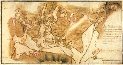
1934 project for the recuperation of fertile land for cultivation, against flooding - dyke construction.
Trancão floodplain in time
Topographic map end of 19th, beginning of 20th Century, wetlands and salt marhes/production
The floodplain was gradually transformed from a natural wetland that flooded frequently and extensively into a dry floodplain for agri culture, first by straightening and canalizing the rivers, then by building high dykes to prevent flooding. Contradictorily, water needs to be captured from the rivers, run off of (partially) cleaned wastewater and eventually the formal water network of the city. A middle term between space for production and space to hold and store water is inexistent.
27
© Catalogo de Cartas Antigas, IGEO
© Campos de Loures, JAOHA, 1941
© Catalogo de Cartas Antigas, IGEO
Dyke - River
Drainage Canals
Irrigation - Ditches
Water Basins
Natural Wetlands
Wells & Water Reservoirs
Waste Water Treatment Plant
Treated Water Discharge Points
28
Smallest draining ditches
Drainage Canals Dyke - River
Water Basins Irrigation - Ditches
Natural Wetlands Wells & Water Reservoirs Waste Water Treatment Plant Treated Water Discharge Points
Largest dyked rivers Drainage/irrigation canals + natural wetlands + treated wastewater + water basins
The water system
The water system consists of different types that either blend together as one system, or are designed to function as separate systems. In between the largest and the smallest hierarchies of water - the small drainage ditches and the rivers -, lies an extensive network of drainge canals that make the transition between the systems: the rivers that drain away upstream water; the ditches that drain the fields; the collector of treated wastewater; the provider of irrigation water; the controller of natural wetlands. They define drainage basins or entities that can be connected or disconnected to and from different systems.
29
The existing water cycle / dyke the rivers
100yr storm / +4,5m
+7m terrestrial +2m
0m terrestrial -2,08m / 0m maritime
STRONG HILLSIDES
WATER TREATMENT PLANT / WATER FACTORY
SOFT HILLSIDES
AGRICULTURAL PRODUCTION
LOW PRODUCTIVE FIELDS DRAINAGE SYSTEM
DYKED LOURES RIVER
XL INTENSIVE AGRICULTURE DRAINAGE SYSTEM
The proposed water cycle / protect the fields
+7m terrestrial +2m 100yr storm / < +4m
0m terrestrial -2,08m / 0m maritime
WATER TREATMENT PLANT /WATER FACTORY CONSTRUCTED WETLAND POST-TREATMENT
UPSTREAM WATER CAPTION SWALES / INFILTRATION
UPSTREAM - SPONGE
AGRICULTURAL

XL INTENSIVE AGRICULTURE DRAINAGE SYSTEM
STRONG HILLSIDES
SOFT HILLSIDES
WATER CAPTION SWALES / INFILTRATION
The existing water cycle / dyke the rivers
CONSTRUCTED AND NATURAL WETLANDS WATER TABLE REPLENISHING
LOURES RIVER REINSERTED IN NATURAL DYNAMIC
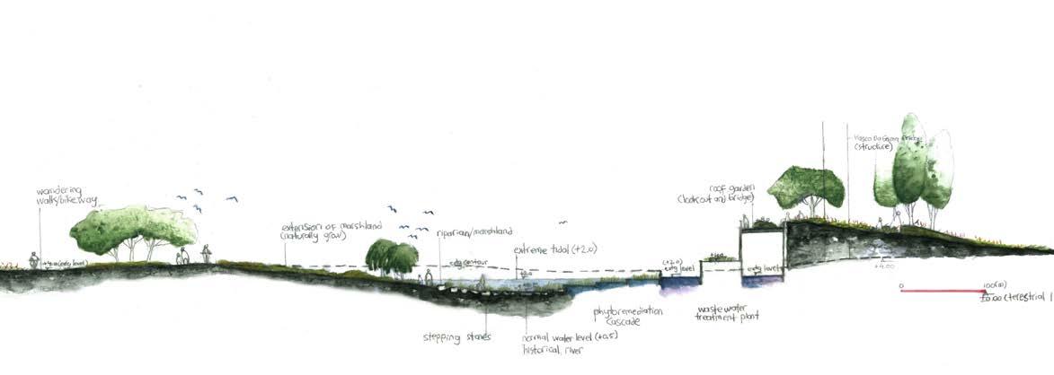
The existing water cycle is organized as a monofunctional system with the sole purpose to guide water from upstream quickly to the Tagus river and to drain the agricultural fields. High dykes run through the floodplain and define the water cycle as its experience as a landscape.
30
PRODUCTION
XO
XL INTENSIVE AGRICULTURE DRAINAGE SYSTEM
AGRICULTURAL PRODUCTION
PRODUCTION
XL INTENSIVE AGRICULTURE DRAINAGE SYSTEM
DYKED RIBEIRA DA PÓVOA / TRANCÃO RIVERS RIBEIRA DA PÓVOA / TRANCÃO RIVERS REINSERTED IN NATURAL DYNAMIC
LOW PRODUCTIVE FIELDS DRAINAGE SYSTEM CAMINHO DE FÁTIMA CAMINHO DE FÁTIMA
UPSTREAM WATER CAPTION SWALES / INFILTRATION
DOWNSTREAM - TIDAL
EROSION LANDSCAPE
TIDAL LANDSCAPE PRODUCTIVE TIDAL LANDSCAPE
The proposed water cycle / protect the fields
TAGUS RIVER TAGUS RIVER
dyking the rivers protect the fields sponge tidal
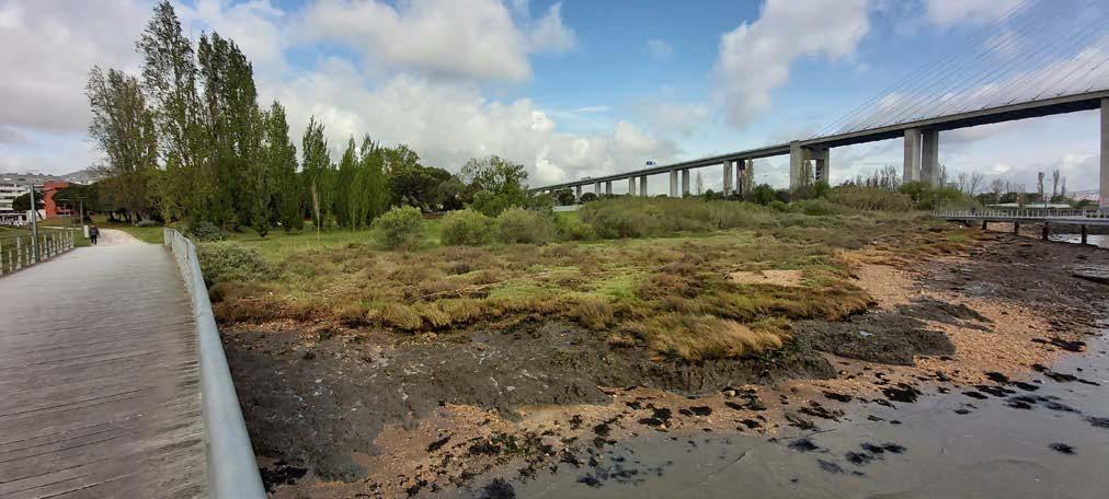
A new water cycle defines a project for the floodplains of the river Trancão. Agricultural production is largely safeguarded by keeping some dykes that protect the fields. Many dykes are removed to be able to keep and store water on the higher parts of the floodplain (the sponge), an action that is demanded by climate change and increased drought. Also the tidal landscape is strengthened by this action, allowing to anticipate SLR and valorize its landscape (even as productive landscape). A monofunctional landscapes unfolds into three overlapping, interlacing and thus mutually enriching landscapes that strongly supports a more ecological future.
31
OX
New water landscapes (green)
The systemic approach to store water (sponge) and allow tidal movement (tidal) creates new large-scale water landscapes that partially restores the vocation of Trancão valley, yet with a form coherent with the diverse urban conditions and lifestyles.
32 © Studio Lisbon
33
Vegetation systems
The vegetation results from the systemic interplay between soil, topography, water availability. A reconfiguration based on a stronger tie with urban systems, and informed by the new water cycle, will allow for a more varied and richer vegetation, namely following geographic consistencies: the productive core, the sponge made out of natural and constructed wetlands, community gardens
34
© Studio Lisbon
Sand Clay River deposit
Vulcanic rocks
Sandstone, claystone with limestone intercalation
Sandstone of Braço de Prata
Limestone
Sandstone Limestone Marshland
Paul das Caniceiras Dyke heightening
Vegetation on slopes
Quinta (large farming estate)
Vegetation on slopes
Horticulture crops
Greenhouses
Olive-Citrus_fig trees
Community gardens
Trancão river mouth
Sacavém
Public spaces MetroPublicNet
Proposed public spaces

Bus stop
Light rail
Topography
Bus route
Railway
Bypass
Soft mobility path
Soft mobility path along water
36
São
da Talha
João
A new mobility network
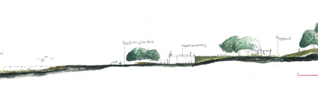
The mobility in and around the Trancão floodplain was rethought as two separate but well-connected networks. Within the floodplain, a soft mobility network of hike and bicycle paths provide leisure opportunities and safe direct connections in between the surrounding villages. Around the floodplain, fast through traffic is pulled out of the village centres through bypasses. Busses and occasional cars become mere guests in the pedestrian-friendly centres, which are carefully connected to the soft mobility network through diverse strategic interventions that vary depending on the specific circumstances (topography, distance to river...) of each surrounding village.
37
Frielas
Infantado
Santo Antão do Tojal © Arthur Van Lint
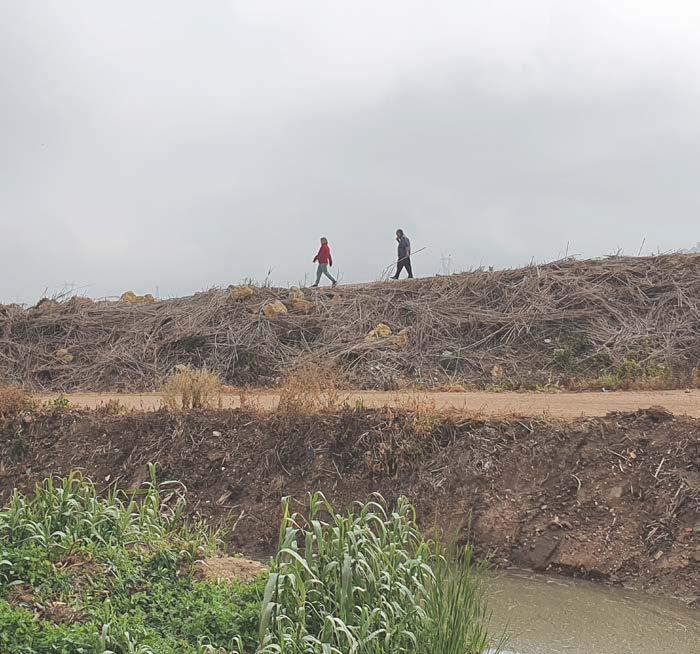
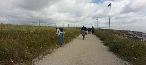
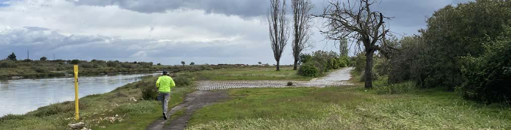
Hikers on top of one of the dykes along the Trancão river branch
Historical settlements Collective housing ensembles Industrial Water related services Commercial Sports Education Health - hospital Cultural spaces
A way of living: services and typologies

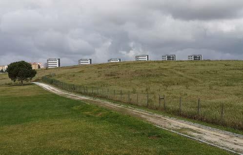
The access to a wide range of services is generally difficulted due to the lack of efficiënt means of transport, and the lack of services in general. A formalization process is often ongoing, with the gradual, yet slow, provision of services. A wide range of typologies exist along the floodplain, suggesting a social mixity. Yet, there is a unequal spatial distribution. New often high end, large houses are built close to well-services urban centres, while almost no affordable housing is foreseen in good locations. The need for more balance is evident.
38
Trancão Floodplain Trancão Rivermouth
QUINTA DO PINTO, FRIELAS
Trancão Hillslides
BAIRRO NOSSA SENHORA DA SAUDE
BOBADELA
collective housing / floodplain soft slope / 3-5 storeys

SAN ANTAO DO TOJAL
single family, row house, collective housing / hillside steep slope, 2-4 storeys / 50 dwellings/ Ha / 200 m2
BAIRRO DA QUINTA DO MOCHO
single family house / waterfront river mouth / 2 storeys / 40 dwellings /Ha / 120 m2
QUINTA DA PARREIRINHA
single family house, row house / floodplain soft slope
FRIELAS
single family, row house, collective housing / floodplain soft slope / 1-4 storeys / 50
INFANTADO
collective housing / on hillsides plateau / 4 storeys / 96 dwellings/ Ha / 100 m2
BAIRRO QUINTA DA FONTE
collective housing / on hillsides plateau / 5 storeys / 144 dwellings/ Ha / 140 m2

PARQUE DAS NAÇÕES
collective housing / on floodplain plateau / 8 storeys / 150 dwellings /Ha / 160 m2
collective housing / floodplain plateau / 6 storeys / 170 dwellings /Ha / 85 m2
SÃO JOÃO DA
collective housing and single family house / hillside plateau / 1-4 storeys / 35 dwellings / Ha / 220 m2
collective housing / waterfront river mouth / 9 storeys / 130 dwellings/ Ha / 150 m2
SACAVÉM
collective housing / hillside plateau / 6-8 storeys / 96 dwellings /Ha / 120 m2
39
40 Trancão river mouth Tejo confluence / Expo '98 1. 2. 3. Trancão Hillslides (costeiras) Trancão Floodplain 4. 5. 6.
STRATEGIC PROJECTS
41 03
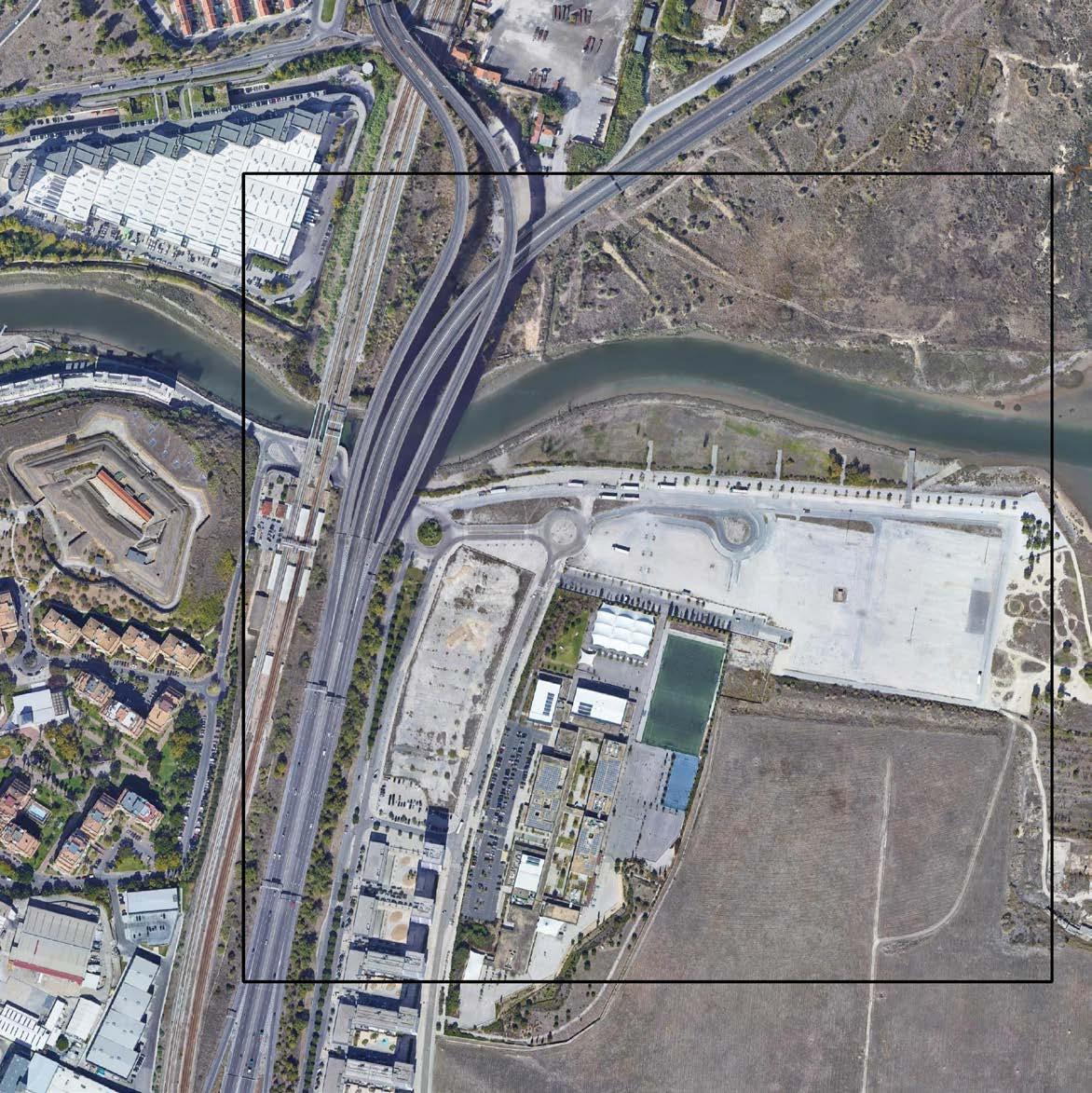
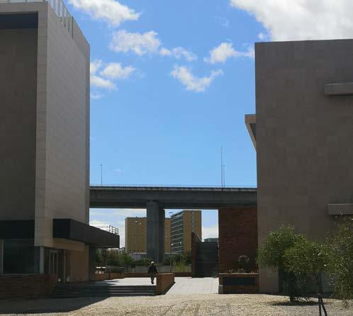
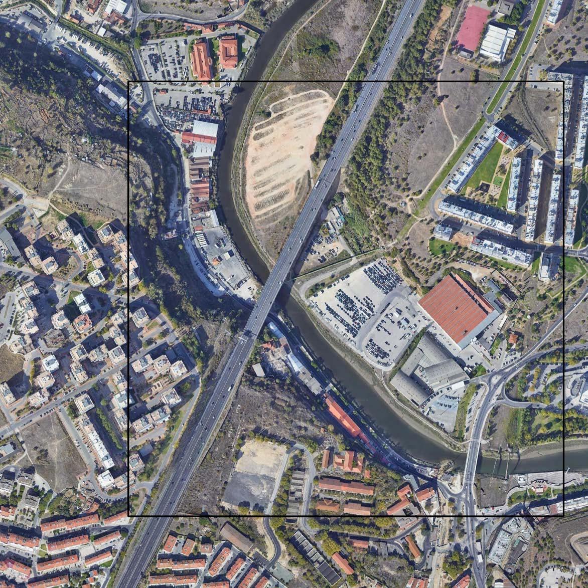
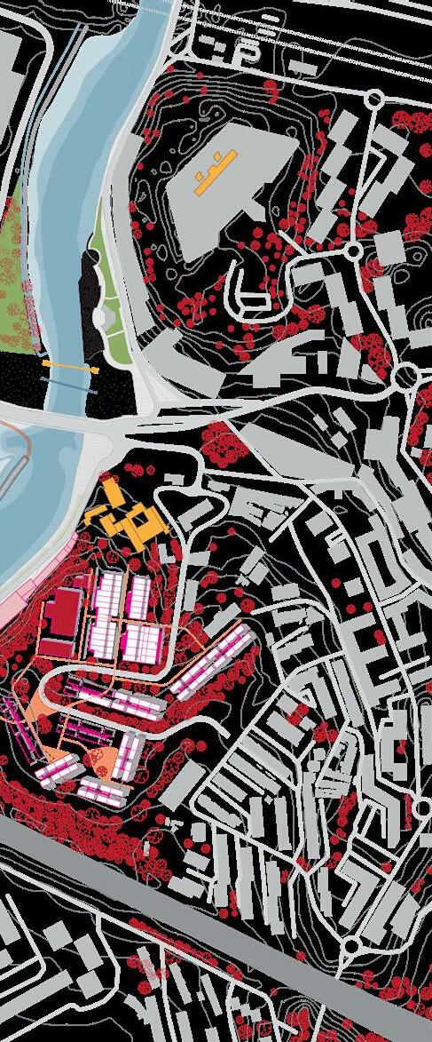
STRATEGIC PROJECT Case 1 - Foz do Trancão / Expo '98
43
NOVIANTARI SAMANTHA
GILLES
JULES
03.01
ARBOTANTE
HOUBEN
DESCAMPE
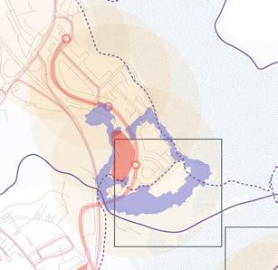
FOZ DO TRANCÃO: THE MEETING POINT
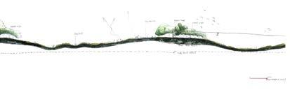
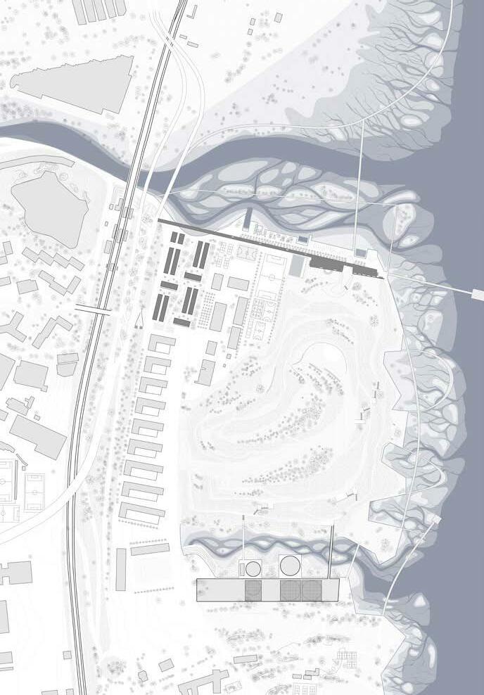
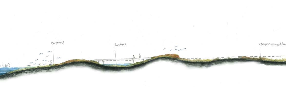
Foz do Trancão (the river mouth of Trancão River) is a conjunction between the developed side of Expo 1998 (Expo ’98), natural marshland, and the rest of the industrial site along the Tagus River coastline. The site is part of the waterfront public park of Expo ‘98. At the end of the park, a bridge was designated to connect the marshland on both sides of the river. As a remark of Expo ‘98, the waterfront development shifted the orientation from treating the water as a backyard to ap preciating water as a front place of urban life. Expo ‘98 is also a milestone for public spaces expansion in Lisbon Metropolitan Area (LMA). The construction of the bridge crossing the Trancão river has been initiated today. Later than the Expo ’98, the project of Loures River Front, suggests a continuation of accessibility along the marshland of Tagus river in Loures municipality and towards Vila Franca de Xira.
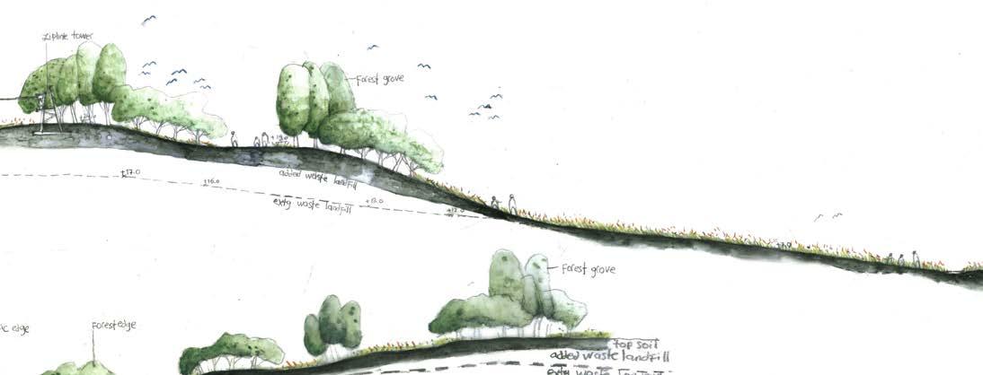
Nonetheless, the site remains as the unfinished leftover of Expo ’98. A wastewa ter treatment plant act as a transition between the fully developed Expo ’98 and the Trancão river mouth site. A landfill mound covering domestic and industrial wastes from post-industrial activities is predominant. A flowering meadow has now grown on top of the waste seal. A recent urban infill to the site is a sequence of apartment buildings and a public school. From the west edge, the infill initiates a dialogue to the previous development of the Expo ’98 with roads, railway, and Sacavem train station on the west side of the site. However, looking back to the remark of the Expo ’98, the latest infill seems reluctant to carry on the substantial impact from the shift.
1 The edge of Expo 1998, the Trancao river mouth, and the initiation of the bridge over the Trancao river potentially con nect marshland along the Tagus estuary.
2 Landfill mound with the flowering meadow, marshland of Tagus estuary, and soft mobility pathway in between.

44
Noviantari
1 2 3 © Noviantari
4 Sediment deposit and marshland as the evidence of upstream flow and tidal movement define the site along the east and north; view towards the road that define the site at the north
5 Sacavem train station and hillslope towards historical fort
6 The porosity underneath the road and railway connects the site
Tidal movement and upstream flow of Tagus to Trancao and vice versa define the space along the east and north of the site. Meanwhile, a strong line of the terraced hillslope, roads, and railway delineate the west side of the site. These strong lines of hillslope and heavy infrastructure have set the site apart from the Sacavém neigh bourhood on the west side of the railway. However, Sacavém train station halfway up the slope equips connectivity of the site to the territorial scale of LMA. Further more, a view of the historical Sacavém fort on the highest point of the topography set a vague relation between the site and the urban fabric on the west. Compared to the separation of east and west by the railway throughout the Expo '98, the giv en proximity to the train station and the fort might offer a chance of porosity to stitch cohesion between the neighbourhoods of Sacavem and the river mouth site. Too, topography differences from the upstream to the river mouth site could be an opportunity to weave the landscape of Trancão’s valley, floodplain, and marshland.
45
©
4 6 7 5
Noviantari
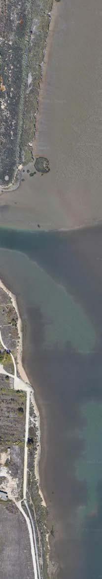
The valley and floodplain from upper stream Trancão to the marshland is a contin uous hydro-geomorphological and ecological system with the river mouth site as a critical meeting point for the fresh and saltwater of Trancão and Tagus rivers. The marshland ecosystem is formed by upstream flood, tidal movement, and different nutrient content in the water. It is a potentially biodiversity-rich environment that serves as a varying habitat and a defence from high tide or sea-level rise. Neverthe less, it is a vulnerable environment since the ecosystem is dictated by nutrient com position from the upper stream and the frequency and magnitude of the flood and tidal movement. Taking the waste landfill as consideration, the ecosystem might gain vulnerability from the contaminated soil while anticipating sea level rise. In that sense, awareness of the continuation of the Trancão floodplain's hydro-geo morphological system and promotion of better soil management is crucial to sus taining the marshland and its ecosystem services.
Apart from its ecological potential, the Trancão floodplain has a long history of being utilized as a productive landscape as we can see today in the upstream val ley and floodplain. Going downstream, the rural landscape shift into peri-urban settlements and industrial landscapes with fragments of community gardens. Compared to the coastline of the centre of Lisbon, the Trancão river mouth has a defining role in shifting the waterfront from a hard coastline to a soft meeting of green and blue. Taking disconnected urban cohesion and marshland ecosystem as the underlying starting point, the Trancão river mouth site is awaiting to be associated with the proposition for crisscrossing urban and ecological potential and challenges.
46
8 Modified floodplain to support agriculture in the upper stream Trancao 9 Community garden and social housing in the middle segment © Noviantari 8 9 10 11
Layers of biodiversity on the marshland
47 12
12 13 ©
Noviantari
Mobility in Foz do Trancão
Samantha Arbotante
The massive investment of Expo 98 had provided a remarkable history due to the exquisite production of different urban infrastructures designed by star architects such as Santiago Calatrava, Alvaro Siza, and more in Lisbon. One of its planned projects, the Parque Tejo-Trancão, was conceptualized as a reclamation project in volving a post-industrial landscape. Focusing on the extension of the park on the south side below the Ponte Vasco de Gama, the neglected park development of the river mouth to connect the municipal districts of Lisbon and Loures on the other side known as the Foz do Trancão (Loures and Panagopoulos 2010). To un derstand the context, a series of fieldwork was conducted to identify the existing roles and gaps in the connectivity conditions of the assigned site and examine its accessibility from various multimodal transportation alternatives in detail.
In a macroscale view, the site encompasses potential through sequences of des tinations. In the north, the Trancão river has an ongoing project of a soft mobil ity bridge connecting to an envisioned Loures riverfront. At the east, the existing footpath on marshland provides a link with water as it faces the largest estuary, the Tagus river. From the south, the Jardim do Passeio dos Herois do Mar is a walkable distance leading visitors to enter the Expo 98 complex. On the other hand, a main transverse highway of A30 (Fig.1) and the train railway situated on the hilly west of the site block access to significant historical areas such as the Forte de Sacavém, Sacavém Ceramic Museum and the Sacavem Train Station. Currently, the A30 highway may seem to connect logistics to the industrial areas of the Loures river front. However, this line only loops around and serves as a supplementary road to the main highway. These infrastructures are the causes of the gap across the urban fabric from the north and the river mouth.
Looking closer at the existing soft mobility, even if the site is relatively flat, cycle paths were provided in limited ranges restricting smooth transition from Sacavém towards the area of the Expo. The Colégio Pedro Arrupe, a private educational school along with the housing blocks of the Urbanização Parque do Rio, provided wide pavements to easily walk and safely move from school to the commercial spaces. Meanwhile, with poor circulation, absence of direct entry points, and pe destrian paths from the housing areas in Sacavém disallowed direct walk as inter ested buyers must navigate around the hill. This option takes a longer period due to the travel distance despite the fact these are adjacently close on the map. One pos sible impact of this condition is the fast turnover or decrease of commercial renters due to the location’s inaccessibility. renters due to the location’s inaccessibility.
Towards the location, impervious parking spaces dominate the area encouraging private transport usage. Locals were observed parking their cars at the nearby park ing area below the A30 before entering the marshlands of the river mouth where they follow footpaths to go near the water. For multimodal options, the public can
In line with the Move Lisboa: Strategic Vision for Mobility 2030, new strategies are to be implemented to develop and pursue reliable mobility and urban accessibility. The first is to rethink the existing impervious roads and repurpose the A30 into soft mobility options to provide new entry points through the highway. Also, in spired by the prevalent usage of walk bridges around Lisbon (Fig.3), installing new footbridges aiming to connect the Sacavém Fort, train station, and housing areas will provide more alternatives to direct access. Second, by collectively emphasizing the potential of the Trancão river mouth and its neighbourhood, we can reactivate potential points to be recognized as a series of destinations by developing new cy cle routes and pathways to relate the parks, link one historical landmark to another, and to reach the site to Loures riverfront. These will allow locals and visitors to encounter smooth transitions from various environments. In this way, we enhance the potential of being a new waterfront destination for more active and educational activities and a new sustainable tourist development incorporating the site to the entire vision of Expo 98.
Lastly, by using the network of the Tagus River and Trancão as the city’s infra structure, providing waterway options and new leisure activities such as jogging, strolling, and kayaking will allow new experiences while reliving the historical us age of the river to transport from one place to another and redirect focus back on the water.
Fig.1: Main Transverse A30 Highway
48
49
Fig.2: Existing location of bus signages on poles and discontinued cycle paths
© Samantha Arbotante
Fig.3: Taking inspiration from existing walk bridge near the site
Fig.4: Using the Tagus River and Trancao as city's infrastructure for new activities
© Samantha Arbotante
© Samantha Arbotante
Urban cohesion in Foz do Trancão Jules
Descampe
A critical position in the territory.
Located at the confluence of the Tagus and Trancao rivers, site number 1 constitutes a small portion of the coast of metropolitan Lisbon. It shares its thickness, pinched between the railroad and the Tagus coast, with numerous ensembles forming the river front of the Capital and its periphery.
Once there, it takes a moment to understand that the immense scale of the few buildings and the expanses inked in its landscape. These represent the legacy of the large plans imagined in 1998 for the Park of Nations of which it is part. While the planted park of the Expo 98 complex constitutes one of the most frequented parks in Lisbon for its rich biodiversity and public facilities, it is interrupted by the wastewater treatment building at the edge of our site. This boundary, formed by the set of infrastructure and buildings closed to the public, marks the beginning of what was designed as the second part of the park: the former public dump. Nowadays, this huge sealed surface covered by a vast landscape of high grass constituting more than half of the vegetal park is made inaccessible due to the pollution of its soil. Its topography, its enclosed condition, its polluted status and the lack of biological diversity of this old dump creates a caesura beyond which, a huge deserted parking lot testifies to an unfinished plan still marked by its industrial harbor past.
In spite of this broken north-south sequence, a delicate path at the edge of the marshland keeps the different parts of the site together. Following this path from the center of the park of nations, we end up on this large desert surface facing the
50
In spite of this broken north-south sequence, a delicate path at the edge of the marshland keeps the different parts of the site together. Following this path from the center of the park of nations, we end up on this large desert surface facing the Trancao, its marshland and in the distance, the coast of the Lisbon metropolitan area bending to let the possibility of apprehending it in its whole. Heading towards the east of the site we come up against the brutality of the wide topographic and infrastructural barrier formed by the 8 bands of the highway and the railroad. This thick limit makes impossible the contact with Sacavem so much physically, audibly that visually, isolates completely the end of the park of the expo 98 of the rest of the basin of the Trancao.
The whole land is then shared between many issues at the landscape, ecological, urban, mobility, topographic, programmatic and land form levels.
- First of all, this situation requires special attention to the encounter of the Tagus and the Trancao River. This meeting must be understood as the contact of two major territorial figures: the Trancao basin and the Lisbon riverfront and its prefecture. Each of these figures has its own biological, hydrological, urban and topographical characteristics that must be treated on a currently deserted, mineralized, enclosed and polluted site in order to restore the authenticity of the territory.
- Secondly, the connection of the first interventions aiming at developing the connections of the localities and the zones of interest by soft mobility along the coast while developing its unique landscape qualities constitutes a second important stake of the site.
- Thirdly, reconnecting the site to the Park of Nations, finishing the park while succeeding in offering a transition with the marshland located north of the Trancao constitutes a major challenge to affirm the identity of the site and its location in the great territorial figure of the Waterfront.
- Finally, it is important to increase the permeability of the park with the Trancao basin and the innerland communities. To do this, the barrier constituted by the highway must be redefined and the railroad crossings rethought.
51
Urban cohesion in Foz do Trancão
 Gilles Houben
A Site of Limits and Beginnings
At first glance, the site that evolves along the south waterfront of the Trancão river mouth seems to be restrained by clear limits. The Trancão and the Tagus clearly define the northern and eastern borders, while large mobility infrastructures such as the railway and the large A30 road run alongside the east. Even politically, the site is located at the very limit between Lisbon and Loures municipalities. But standing at such a crossroads of urban and landscape structures implies not only to consider these as limits, but also as beginnings, stepping stones, to a much larger scale. Indeed, the Trancão river mouth in Sacavém can be seen as the start of the river’s floodplains, the Tagus waterfront relates to the large waterbody between Vila Franca de Xira and Alcochete, and the mobility infrastructures insure connectivity to distanced urban areas.
In that sense, this territory is regarded as a multi-scale entity around which the urban and the landscape unfolds into large structures. This intermingling of water and city is understood as a key identitary feature for
Identity and Neighborhood, an Urban Cohesion
The whole portion of territory here considered is part of the Park of Nations, and form its northern edge. The large sealed surfaces attest the intentions of the master plan established more than 20 years ago, and have patiently waited to be built ever since. The housing towers have gradually spawned since 2004, and following the 1998 master plan, still remains the constructions of shops and various amenities. The college Pedro Arrupe was constructed early in the 2010s although formerly not included in the intentions of the Expo ’98 master plan.
52
The bridge that is set to be soon built over the Trancão river will carry intertwined changes for the site. The main goal is to extend the Park of Nations further up north, to include the raw land alongside the Tagus waterfront. But by doing so, it also requalifies the here-considered site, which will switch from being the edge of the Park of Nations to being another step.
While it is quite self-evident that the site has a lot to benefit from the cultural heritage of the ’98 Expo, it has to be noted that such an enormous urban project lead us to investigate how can a neighborhood and a community can evolve in this environment of “big buildings”. Indeed, stepping off the train at the small Sacavém station and strolling towards the site, it becomes striking how everything starts drifting away from human scale, from the roads infrastructures to the large unbuilt sealed surfaces.
On the other hand, when strolling between the housing towers and through the commercial street, where more localized settings such as playgrounds and terraces do exist, they lose their ambiance of “place for the community” in endless large rectilinear streets, and fifteen storeys high buildings. Also, the identical architecture style of the numerous housing towers as well as the repetitive parking lots leave no room for anomalies in the network of public spaces. Pedestrian then wander around similar spaces that are neither complementary nor hierarchized.
The argument here is to express how the recent cultural heritage from the Expo and the water landscapes mentioned before can set foundation to formulate a “sense of place”, while acknowledging that individually, they are not sufficient to truly generate the identity of a neighborhood. For example, while walking near the housing towers, you lose the bond to the Trancão river, as well as the Tagus water front, and vice versa. This area then sets up an unwelcoming scene for curious pedestrians, and it seems like the strong cultural appeal from the core of the expo district, filled with amenities, doesn’t radiate enough to reach this part of the park.
53
The site then sits in a mixed context. Too far to actually benefit from the cultural heritage of the ’98 Expo, while also still having built surfaces and volumes that kept its scale. This ambiguity hinders the establishment of a “sense of place”, a “sense of local community”. It might be timely to start strengthening the interactions between the culture heritage, the buildings and the landscape features to create this sense of place, to then define a distinctive identity and a more local character of the neighborhood.
54
55
Reclaiming the river mouth
Noviantari Samantha Arbotante Gilles Houben Jules Descampe
The narrative of the project is introduced by a very present and defining figure in the urban structure of Lisbon. This figure highlights the thickness pinched between the continuous line set by the railway, and the more angulous line formed by the waterfront.
Like many major settlements that grew alongside main territorial estuaries, the development of Lisbon was greatly influenced by the industrial sector. Thus, it becomes quite evident that this thickness has had its land use dominantly occupied by industries, punctuated by railway stations and harbors. Even today, this layer is still marked by this industrial heritage, making it impermeable and generating distance between the waterfront and the citizens.
That is why in recent history, the city of Lisbon has put efforts into making this thickness more pervious. With the Praça do Comércio being the oldest public space directly connected to the riverfront, the Expo ’40 of Belém initiated the reconquest of the waterfronts by public spaces. The whole Expo ’98 district, the here-considered case study, thereby fits into this story.
By mapping the green spaces and interventions that aim at reclaiming the waterfront, we see that they are fragmented along the figure. This fragmentation evidently implies a fragmented soft mobility network, and we then understand that they work as individual interventions that step by step, we ease up the establishment of the desired continuity. Closing this introduction and arriving at our site, we quickly acknowledge that it stands at a crucial location in this urban figure. Indeed, the meeting of the Trancão and the Tagus entail the waterfront to bend and create a deeper interaction with the inner lands. This phenomenon is quite unique, as it is the very last confluence of the Tagus, before joining the ocean. The potentials of reconquering the waterfront are quite substantial here, as we address two different but interconnected waterbodies. Zooming in on the case study, we observe : - an oversized hard mobility infrastructure, that cuts the marshland and makes the thickness even more impermeable
The project that we’re about to present tackles these potentials with the aim of fitting in the story of reclaiming the waterfronts of Lisbon.
To start things off, we remove a portion of the road, by only keeping the lanes that are valuable connections between th e Sacavém and Bobadela neighborhoods. What we remove is nothing else but an oversized and poorly used infrastructure. Doing so will unify the marshlands between the railway and the waterfront, give more space to the new Topiaris project that is set to settle there, and finally, it will enable new connections between the Expo ’98 and Sacavém, across what we envision as a requalified urban boulevard.
Then, we emphasize the presence of the marshland. Doing so will bring a strong and recognizable identity to the site, standing at the very corner shaped by the meeting of the two waterbodies. This objective is achieve by two different interventions. On one hand, desealing the large mineral surface will grant the Trancão more freedom to evolve through its erosion process. On the other hand, we suggest various topographic displacements of the waste land site, mainly a cut and fill to give more space to the marshland and create few mounts on top of the hill, that repeat the iconic shape of “teardrops” of the smaller mounts already present in the Park of Nations. Additionally, we propose to add new clean soil on top of these mounts, so they can welcome vegetation, to turn it into a habitable park.
We finally make two interventions on both side of this mount. On the south side, we suggest to decluster the water treatment plant, by revealing the adjacent former water stream and reorganizing its various components. On the north side, a single urban intervention works as a stitching line for all the components of the site, such as the fort and railway station of Sacavém, an enclosed college, the park as well as a new neighborhood that is set to end the housing figure of the Expo ’98 district. At the same time, various water related arrangements such as piers and outside pools evolve alongside this linear structure. All of these proposals have the strong intention to restitute the true landscape of the riverfront to a strategic site, currently a true no man’s land leftover from the Expo ’98 master plan, while increasing its accessibility and its social cohesion.
56
Territorial figure of the Tagus Estuary Permeable & green margins of the Tagus Estuary
Fragmented network of water mobility
Section through the hilly park
Aerial picture of existing
58
Proposed design
60
Park atop the sealed waste landfill
Marshland expansion
Trancão river
Reopening of water stream
The water factory - waste water plant
Expo '98
Park atop the sealed waste landfill New interface
61
Urban tissue section
62
A binding linear architectural structure Ground floor map
63 structure Topographic connections throughout the site Axonometric view Connection section
STRATEGIC
PROJECT
Case 2 - Sacavém
65 ALIKI TZOUVARA LAKSHIMINARAAYANAN SUDHAKAR RAFAELA ARMOUTAKI
03.02
Decoding and declogging Sacavém
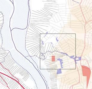
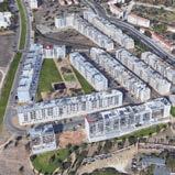
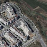
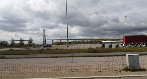
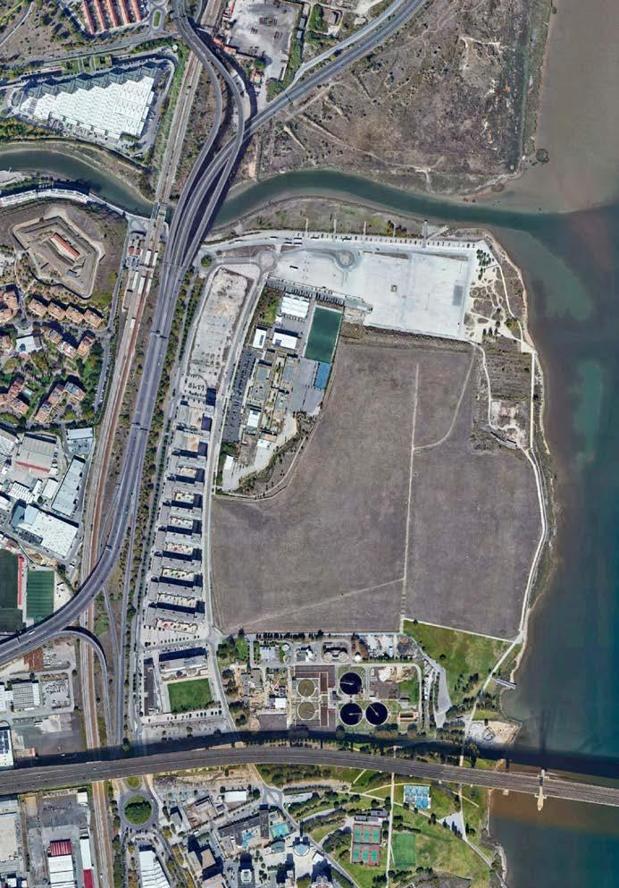
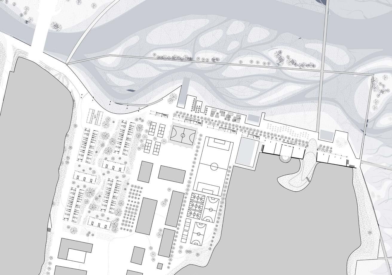
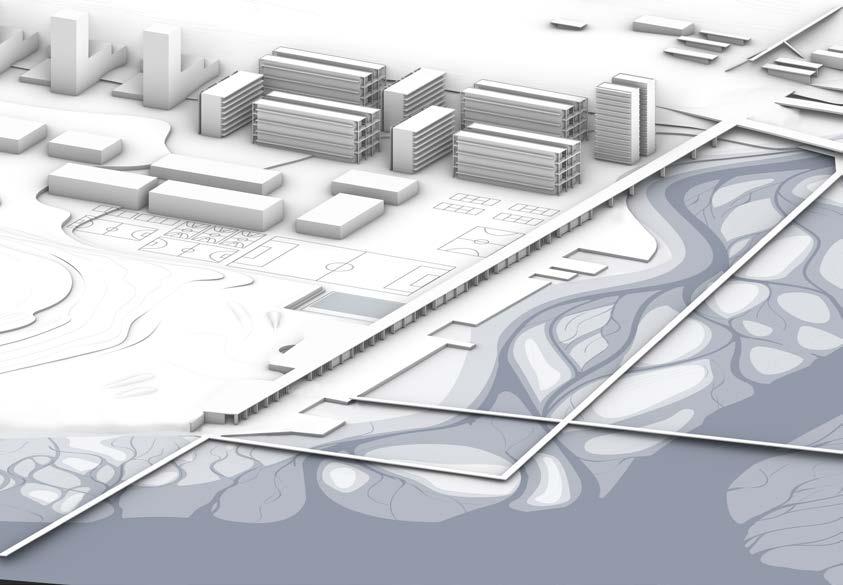
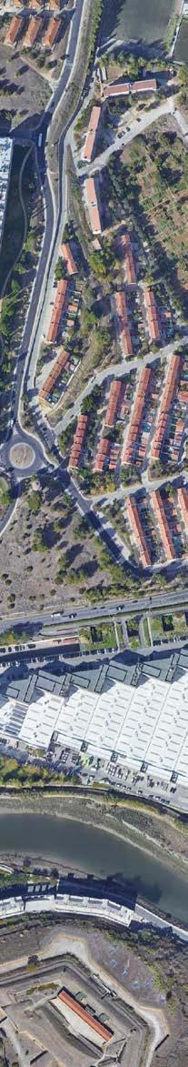
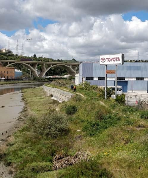
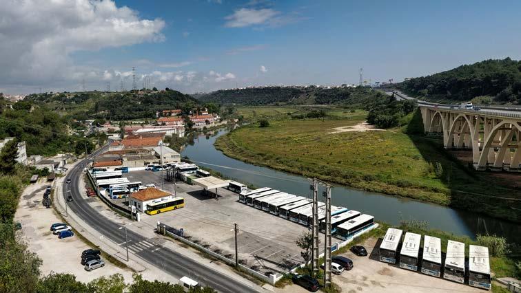
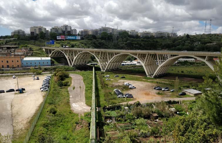
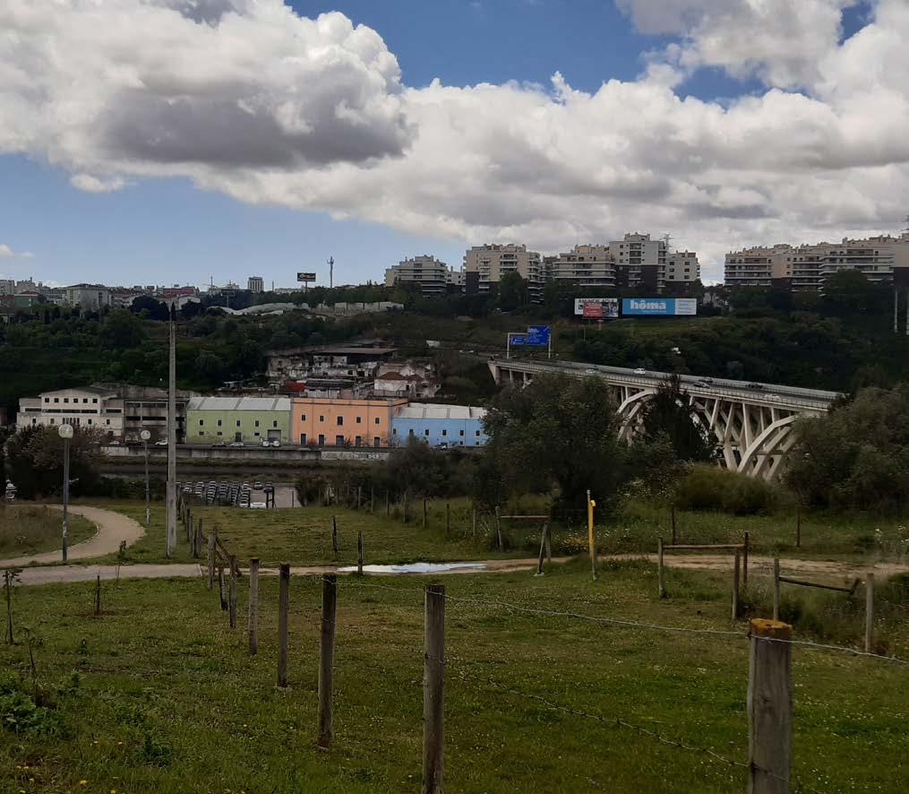
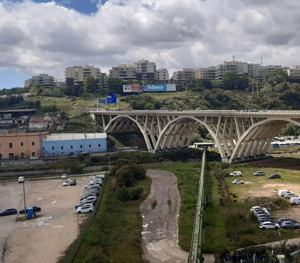
Sacavém is located in the eastern part of Loures municipality, Lisbon District, Portugal. There is the Tagus River to the east and the Trancão River (formerly known as Sacavém River) to the north, separating Sacavém from Bobadela. Sacavém was an important settlement during periods in Portuguese History owing to its strategic location near several north and east-bound roads connecting to Lisbon, with some evidence dating back to pre-history. Given its strategic location, a bundle of infrastructure crosses the Trancão river at this point, starting from national roads to water pipelines.
The site has two distinct characters – one that is along Trancão river, the lower part and the other on top of the plateaus. These two parts are completely disconnected from each other and there is no easy access to reach the upper Sacavém from the lower Sacavém. This has also resulted in the region being heavily dependent on cars, even though buses connect to some areas of the site that are not frequent. Parking spaces, commercial establishments and industries have taken over the flood plains of the river. It has changed the character of the landscape of what used to be predominantly marshlands. There is no relation to the river and most of these built forms turn their back to the river.
Antigo Quartel de Sacavém is an abandoned military barrack, which has not been in use for more than a decade. It was sold to a private buyer – still waiting for a new development to take place. This can be used for housing or other amenities that the community now lacks. Repurposing the massive industrial building at the bottom of Bobadela, on the floodplain's edge, gives a significant chance to establish a market/mixed use facility.
66
Figure 1. Caminho do Tejo along the Trancão river, the pilgrimage path to Fátima
© Lakshiminaraayanan
Sudhakar
Lakshiminaraayanan Sudhakar
67
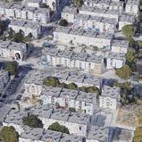
Figure 3. Large impermeable surfaces clogging the flood plain. Commercial and industiral urban fabric becomes the face of Sacavém. Multi story upscale housing occupying the plateaus.
© Lakshiminaraayanan Sudhakar
© Lakshiminaraayanan Sudhakar
Figure 2. Sacavém is at the junction of multiple infrastructures, with an industrial character.
Sacavém does not have much of productive landscape/ agricultural fields. Very few pockets of urban gardens exists in some parts of the neighbourhood. Untamed natural landscape has taken over large portions of the site, most of which are on steep hills.
The challenge lies in how we can bring the different parts of the site together and create a closely-knit community. Can this be done by establishing a network of green that weaves through the different parts of the neighborhood? Can it help in tying them together and bring them closer? Soft mobility can also be used to connect the different terrains by navigating topographical variations and making use of existing urban fabric, some of which is already plugged into the steep slopes. A connection can also be established across the river, to bring Sacavém and Bodabela together.
The commercial establishments on and near the flood plain that have large landscape parcels have no connection to the water and are physically and visually isolated. How can we make use of the water margins to enrich the built fabric's character? The built fabric should also coexist with water and embrace it, instead of blocking it.
How to improve the relationship of these neighborhoods with water rather than just using floodplains for parking? The huge parking spaces clogging the valley can be removed to give more room for the water and create a regenerative landscape system.
Can the untamed landscape parcels be used for creating urban community gardens or productive landscapes, as well as creating a sense of community among the neighbours?
68
© Lakshiminaraayanan Sudhakar
© Lakshiminaraayanan Sudhakar
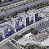
Figure 4. New multi-story residential buildings lack enough public spaces and green spaces. Cars and their infrastructure are given importance.
Figure 5. River streams are canalized below hard surfaces to make place for industrial buildings and services.
69
Figure 7. Bus terminus, industries, parking spaces occupying the flood plains, that once used to be marshlands.
Figure 6. There are a few community gardens at the bottom of steep slopes, along the floodplain.
© Lakshiminaraayanan Sudhakar
© Lakshiminaraayanan Sudhakar
Mobility in Sacavém
Aliki Tzouvara
Sacavém, located in the eastern part of the Loures municipality, lies between the mouth of Tagus River and the Trancão River. The site is divided into two areas, one lying in a narrow strip of land along the riverbed and the valley and the other climbed on the plateaus that oversee it.
Walking along the banks of Trancão one can observe fractured continuities of in dustrial uses along with scattered landscape pieces, mostly inaccessible from both the water and the land. These create the image of a multifunctional site, a bundle of urban infrastructure accommodating different uses that seek a way to form the edges and boundaries (or connections?) between them.
The presence of the car is highly intense in both the valley and the plateaus of Sa cavém. While the car industry and commerce occupy most of the banks’ area, the intense topography and the poor public transport connections leading up the hills result in the intensification of private transport. Three highways of different speeds and locality are imposed on the landscape, crossing the river and affecting visually and acoustically the landscape, in the course of only a kilometer.
The increasing urbanization pressure has resulted in a fragmented urban fabric. The residential areas lie mostly on the plateaus and are occupied by big, multi-sto ries housing blocks with different characteristics. While most of them are social housing, the ones on the edges of the hills are new apartment complexes, that over view the floodplain but have no connection to it. The public space seems to lack or be present in scatters along the roads and in between the housing blocks. The edges of the plateaus are largely isolated and inaccessible, due to various reasons; a mix of privately owned land with uncertain use, plots that turn their backs on the river, the highways that divide the landscape and shatter the connection and the large industrial sites that creep against the topography, constraining physical and visual access.
So what is the character of Sacavém? From a historical settlement with traces back to the prehistoric and Roman times is now a passing between larger urban centers. Do we need to make it a destination? What are the possibilities of this place?
Sacavém is relatively easily connected to the wider area of Lisbon by the train sta
tion that lies at the entrance of it, right next to the Tagus estuary.
Sacavém de Baixo, the lower part of Sacavém, near the bank of the Trancão River, is a node of public transport, with 4 bus stops existing in a radius of 50 meters, and the bus terminal located in close proximity. However, they mostly move trans versely to the river or travel towards the center of Lisbon, leaving the residents of the highlands dependent on individual private transport. This is visually evident in the landscape as well. As one climbs over the hills the few free open spaces are dominated by parked cars.
The banks of the river are frequently used recreationally by hikers and cyclists de spite the poor existing infrastructure. The Caminho de Fatima follows the river through the whole extent of Sacavém, creating a peculiar co-existence between the car industry and the users of the fragmented public space. Despite the path being next to the water, the connection to it is non-existent. Water mobility is also pres ent in the site, with kayakers enjoying the opportunities offered by the river, despite the lack of proper infrastructure.
So how could we stitch the spatial ruptures along the floodplain? What are the possibilities of the existing hard infrastructure as future public infrastructure? The river and the banks lying along it could form a new spine of mobility and public space, providing a new multi-functional space of different character than the ex isting one; one that will not only enhance neighbourhood and intra-municipality connectivity but will also create recreational opportunities for both locals and vis itors and will redefine the meaning of mobility for public space.
What potential do we have for new systems of mobility that can directly connect the hills and their edges to the floodplain? The abandoned or with no use complex es that creep against the steep slopes offer opportunities for a middle level between the plateaus and the river. The former military facilities lie unused, occupying an enormous part of land, available for different urban uses.
A new, innovative system of mobility here has the potential to impact the scattered character of the area and contribute to natural, economic and social coherence.
70
The north residential plateau opening up to the valley
Mild topography allows the access through walking paths that end abruptly on private property. Semi-public space in front of high-rise housing complexes, restrained by hard boundaries that forbid further relation to the valley.
71
A messy urban environment
The valley is occupied by impermeable surfaces and private, industrial uses that clog the floodplain, restrain the flow of the water and block the access to it.
72
A bundle of infrastructure
The historical Caminho de Fatima squeezed between the river and the car industry, only allowing one cyclist or pedestrian to pass at a time.
73
Marginal mobility
Water mobility present in the valley, despite the absence of proper infrastructure. The current equip ment is accommodated in a container on the south bank.
74
404, public space not found
The car dominates the streets and the scatters of public space that exist among the social housing neighborhoods.
75
Urban cohesion in Sacavém
Maria Rafaela Armoutaki
The city of Sacavem can be found north-east close to Portugal’s capital, Lisbon. Sacavem is located a stone’s throw from “Foz do Trancao” (river mouth of Tran cao) and the Tagus and it is a former civic parish in the suburban municipality of Loures, Lisbon District. Both the city and the river Trancao have great historical significance for Portugal, especially during the 19th century. However, Loures mu nicipality, so as Sacavem, belongs to a massive construction movement mid of the ’70s with a selection of interventions occupying most of its region. Trancao is of vi tal importance and is distinguishable through Lisbon’s Metropolitan Area but also for Sacavem. The latest can be reflected through history. Nowadays, most of the river basin is influenced by agricultural and industrial exploitation, while heavy urbanization has dichotomized the river's ecological value. The natural collorary of these human-scale interventions was the soil and water contamination which, in turn, greatly decreased the river's merit through the years. In parallel, this spatial fragmentation, together with the climate change brought many flood risks into the whole valley of the river's region as is Sacavem.
A consequence of a natural border: River and Landscape
On both sides of the river’s narrative, huge masses of slopes appeared. These stiff slopes create a hard typology of the valley and topography of the landscape. Τhe dominance of socio-economic behavior of its region shows a landscape under con struction without a specific character with a set of conditions, trying to keep it maintained. Furthermore, the penetration of the urban infrastructure modified the landscape the recent years. The territorial presence of the lower Sacavem (Sa cavém de Baixo) has been occupied by a continuous line of hard urban edges via buildings that serve for housing, trade, or industrial purposes whilst the feeder lines of the river have been eliminated. The current condition makes clear that the river is not a destination for the people but only a natural border that provides visually and technically water to the area most of the time. With the river pushing through the slopes, it is clear that the area is not prosperous for many applications along its way apart from the bridges to connect the two sides. The imbalance of ar tificial and natural systems allows some clusters of open spaces mostly for passing purposes and less for leisure. Private transport has a meaningful character behind human presence and inhabitants rarely use the region. However, the only part that enhances the human presence in the natural area is the path parallel to the river,
which leads into a narrow landscape together with the urban pressure made clear the problematic areas from different scopes. It is important to be mentioned, that a small portion of people take advantage of the natural trail that the area provides, known as the Camino de Fatima which connects Lisbon and Porto.
Though the observations, it was obvious that the fragment fringes of the area, can be identified mostly into the disconnected patches of urban fabric. These frag ments seems a routine part of Sacavem’s urban experience socially but also spatial ly. Most of urbanized land gathered into plateaus with old and new infrastructure. Due to stiff slopes and the river, these areas created different experiences from the military barracks, to new urban developments, and the social housings. Moreover, the transport interventions, such as the highway and the bridges, are an integral part of the area, which enhances the issue. Notwithstanding, these projects at tempt to decrease the gap between the two stories of slopes through perpendicu lar but sporadic connections, and provide connectivity for passing though private transportation, only, as a main priority. Also, along the river the agglomeration of industrialization doesn’t give space to water by downgrading its presence. With a cursory glance across the existing condition in terms of urban cohesion, it can be seen that the geomorphological characteristics of Sacavem organize the incitement of site’s urban structure. More specifically, the three crucial artificial borders (bridges and highways) along with the heavy industrialization and the nat ural borders of the river and the stiff slopes, are incitements of urban’s structure.
The territorial and social cohesion creates patches with asymmetries. A tangible example are the contrasts of the new urban development and the social housings appear in the same urban section. There are two main clusters of new urban devel opment. These are collective housings which are located into the hilltops on both sides of the river. The construction pattern follows multi-storey houses up to 4-6 levels residence by “upper-class" with small pieces of public spaces. Apart from the lack of open public spaces are also easy to notice many parking plots. Regards to the densely populated part of Sacavem, it is clear that the social structures are one of the vulnerabilities of the area. More specifically, the most of the social housings are in poor condition while public space is does not exist at all. There are some clusters with some public space amenities however they are in poor maintance such as playgrounds or courts.
76
North residential site and its fragments
Between the landscape and the new urban development, it is clear that the access to the site is limited by artificial boundaries which make it difficult to interact with nature and the river.
77
Experiences though the military barracks.
In contrast to the densely populated Sacavém, inside the camp the experiences and impressions are different.
78
© Rafaela Maria Armoutaki
Social Housing and gardens
The narrow confines of the residential Sacavém have created the need to develop public spaces and gardens.
79
The social housing effect of Sacavém
The area surrounding the social housing concentrates high percentages of parked cars while public amenities such as pavements or benches are difficult to locate. Public space beyond its narrow boundaries is also non-existent.
80
© Rafaela Maria Armoutaki
81
Plan 1:2000
Reclaiming the valley
 Aliki Tsouvara Lakshiminaraayanan Sudhakar Maria Rafaela Armoutaki
The floodplain is given back to the water. As in the past, the western bank retains the urban feel it had - a hard edge, enriched by expanded urban public spaces that step down to the water, enhancing the relationship with it. The eastern bank is re naturalised, by a dual system of breaking the dykes and excavating the floodplain to create longitudinal profiles for the water to enter and erode the land, reclaiming the space it once had. Existing infrastructure and abandoned mid-levels embedded on the slopes are re-designed into new public spaces and connection points that allow the movements between the isolated plateaus and the valley. In one such movement, an elevator is incorporated to enable efficient and quick movement of people from the lower to the upper levels.
The historical path of caminho de Fatima is reappropriated to allow comfortable movement of pedestrians and cyclists, both for the purposes of everyday life and recreation. It is retained on top of the existing dyke, facilitating soft mobility in the floodplain. The connection between the two sides of the river is made through a suspended bridge that is inserted within the existing structural framework under neath the highway. The former monofunctional industrial building on the east ern edge that once acted as a barrier between the river and the neighborhood is transformed into a multifunctional, porous communal space that promotes public movement through it. Picking up cues from the traces of the small community gardens that existed on site, a sequence of large community gardens are developed on the flood plain. By combining the new community gardens with the multi functional communal space, social cohesion is enhanced. A small dock located on the hard edge of the river encourages water mobility, restoring the character that Sacavém once had.
Now moving up from the floodplain to the plateaus, the former military quartel is transformed from an obsolete infrastructure to a vibrant low-rise neighbor hood, with gardens and public pathways that cross it starting from the main road. The vacant plot next to it now accommodates new dense urban tissue, with 400 units varying from 60-90 sq.m. The corridors connecting the different typologies of the buildings are envisioned as wide streets, allowing sunlight to enter and air to circulate within those. Some housing blocks have an open ground floor, giving the complex a public character and allowing pedestrians to circulate between the various public spaces within the community and the newly-forested area between the buildings.
83
buildings removed from the flood plain flood plain impermeable surfaces in the flood plain existing built form


The banks of the river occupied by car industry and warehouses, creating a confusing and messy urban environment with no relation to the water. Hard, impermeable surfaces constraining what once was a wide riverscape.

84
plateaus - valley connecting routes
public space re-purposed existing buildings new urban tissue connecting mid levels new riverbed green patches floating caminho de Fatima 0 100
Reclaiming the valley of Sacavém. A new place of commons, existing in direct relation to the water. A public landscape that is part of the natural system.
85
Existing
Condition Proposed
Existing Condition
Proposed connection point to the plateaus extended riverbed public space & promenade
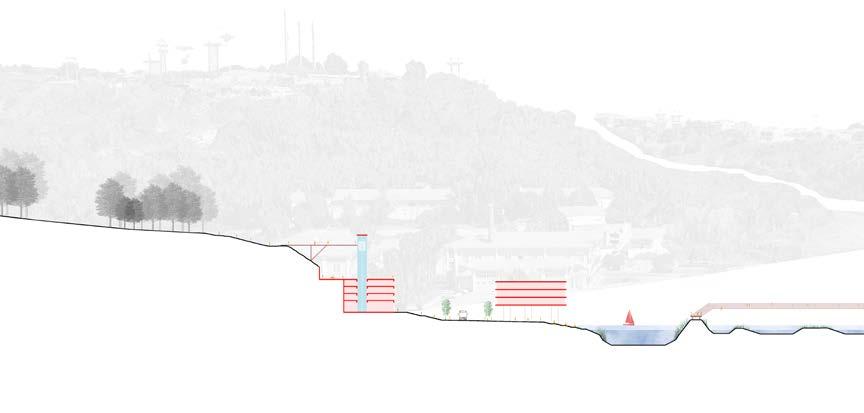
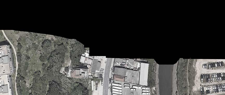
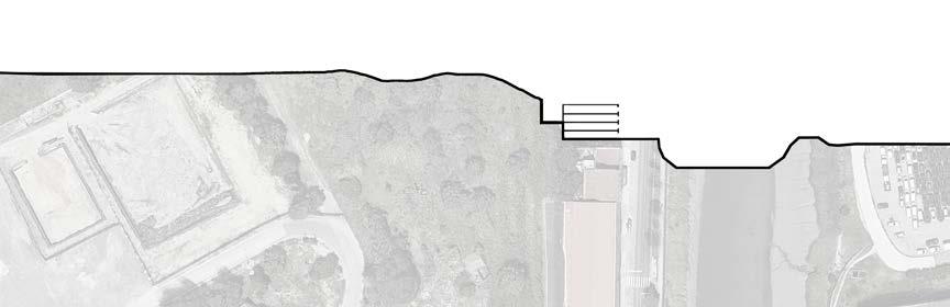
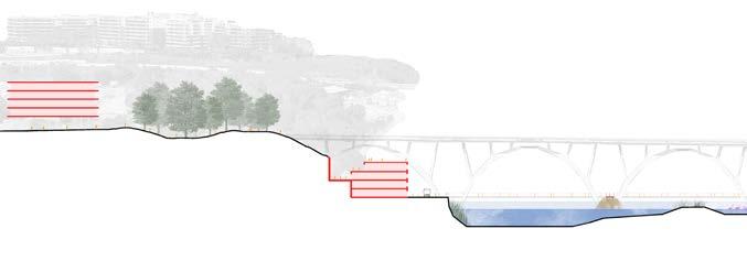
current riverbed current riverbed parking warehouses
parking
86
Connecting the hillsides
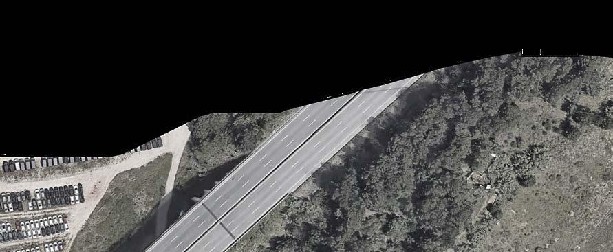
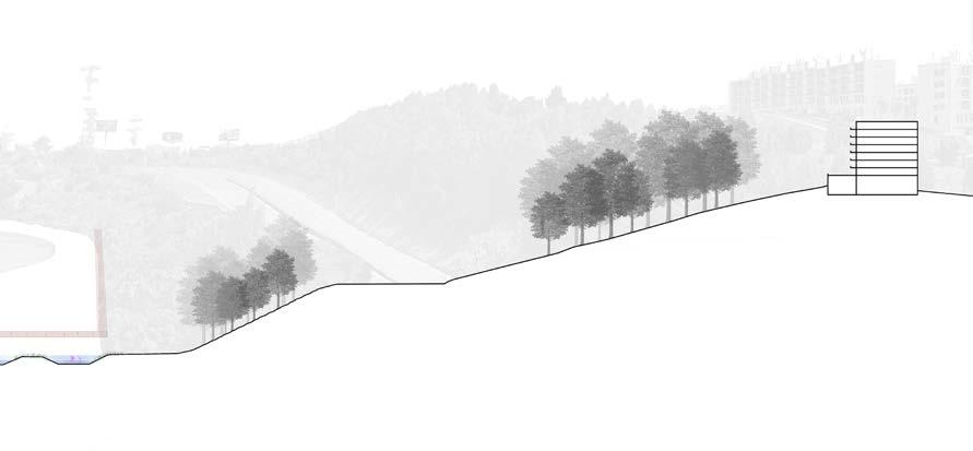
public infrastructure
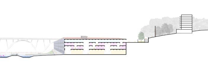
parking space private industrial property
space
Existing Condition
The valley as public space
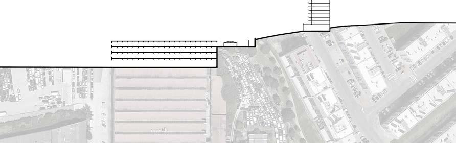
87
Transversal Narratives in Sacavém Valley
The water as the connection point between the hillsides. The public space extends in the riverscape, utilizing water as public infrastructure. The existing building stock opens up to the public allowing movements to and from the valley.
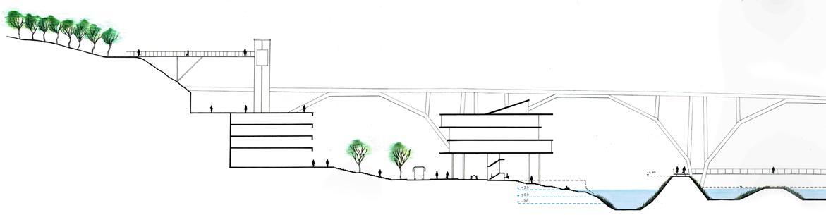
88
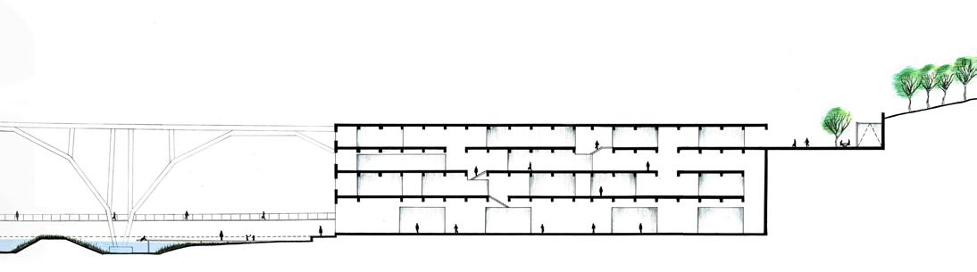
89
A dynamic landscape
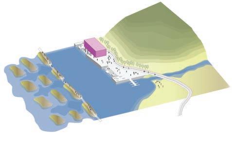
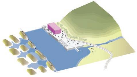
The creation of a new landscape, constantly changing. Resilient public space, adaptable to natural changes.
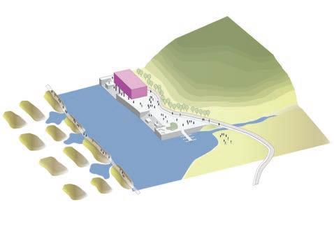
90
Tide Levels
tide -2 m
tide +2 m tide -2 m
tide 0 m
tide 0 m tide +2 m
A dynamic landscape, constantly in motion according to the flow of the river and the tide levels. Public space in direct relation and contact to the water, adapting to the natural changes.
91
B
Ground Floor Plan
Urban Tissue
The obsolete military infrastructure is transformed into a vibrant low-rise neighbourhood, with gardens and public pathways that cross it, starting from the main road. The vacant plot next to it now accommodates new dense urban tissue. Different typologies are connected by public corridors. The general area of the ground floor remains open, allowing the public circulation among the neighbourhood, the re-afforestated area and the public space extending in between the buildings.
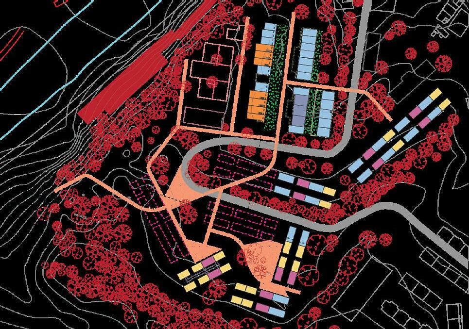
92 A
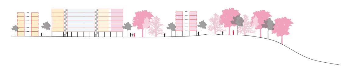
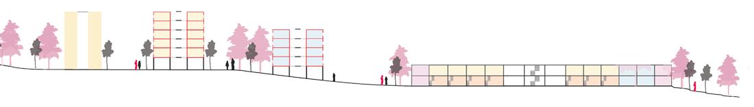
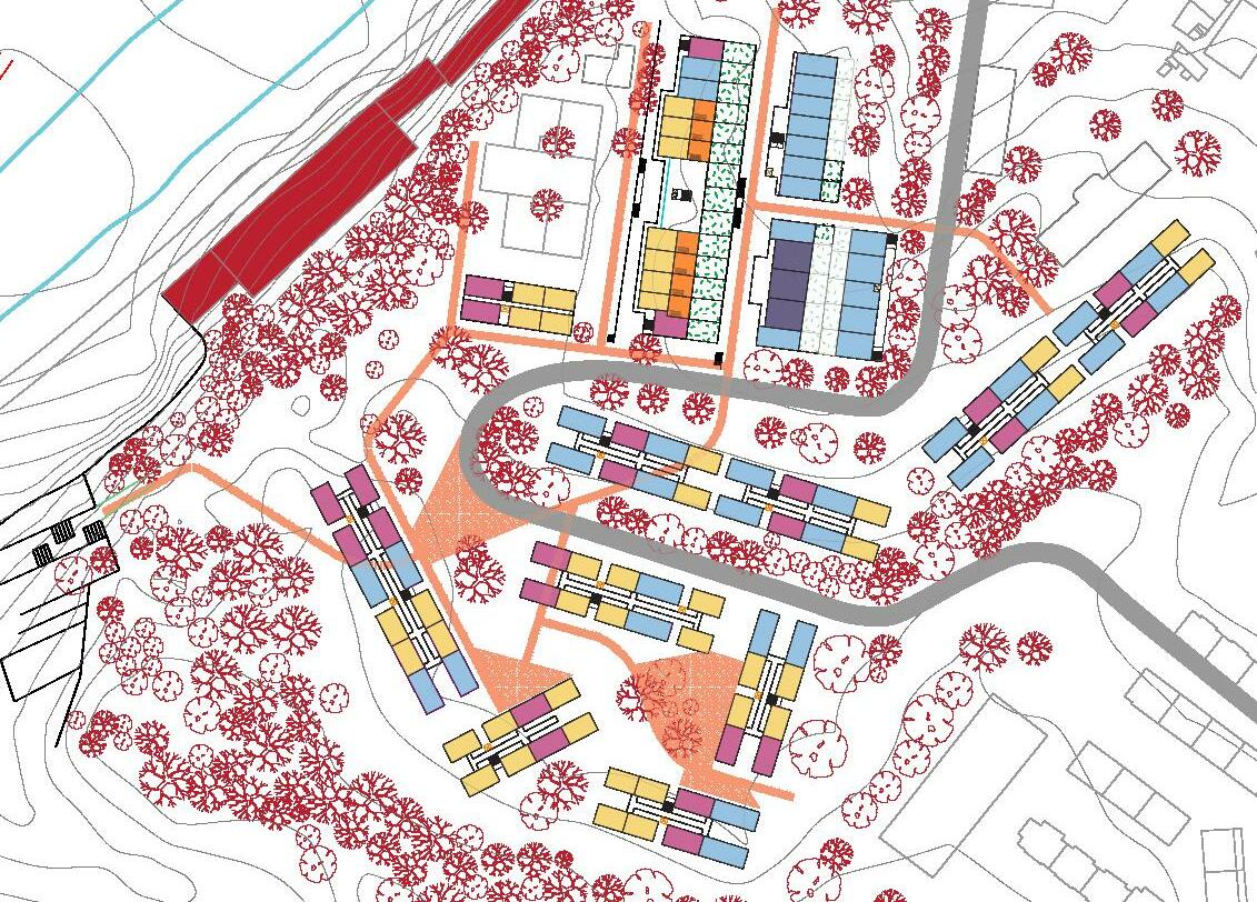
First Floor Plan Section A Section B
FATMA BEN HFAIEDH ANA VERONICA MARTINEZ
03.03
STRATEGIC PROJECT
Case 3 - São João da Talha
95
Plateau and valley
Sao Joao da Talha, is a suburban town located on a high plateau that is connected horizontally to the Trancao river through stiff green slopes and productive lands. It is marked by steep topography and the articulation of a rural and an urban character. The town has been developed around a recognizable old centre hosting cultural, and administrative services. The centre features a single public transport line of buses and a round-about that draws the line with a mono-functional informal urban fabric formed by single-family houses resulting from cuts of rural fabrics.
and a purely residential area. Expanding services, facilities and public transport to the suburban area of town might seem like the right thinking, but decentralisation might cause further informal urbanization of the suburbia and decrease its rural potential.
Furthermore, we recognize that there is a population that lives in a rural town in order to acquire larger living spaces while working in the capital, almost like a dormitory town with the abundant mentality of not caring about what is beyond their backyard's kitchen gardens. But there is also a community life that is progressively emerging as we observe that some leftover plots are being used informally as community gardens due to the depression in the topography that facilitates irrigation. This raises the question: Could productive landscape be a medium that incorporates existing single-family housing typologies into a resilient urban fabric model for Loures suburban areas?
With only two main green public spaces, no planted streets or public water ponds that could reduce heat and shade from the strong heat of Portuguese summer, the town is extremely hot and dry which makes it not pleasant for walks during the day. Perhaps, forest corridors and rainwater retention ponds could connect the green public spaces and increase walk-ability.
The plateau of Sao Joao da Talha
As a rural town on a high plateau, we first notice the abnormal massive footprints and facades of industry and warehouses in the urban space. The industry extends as well in fragments along the edge of the plateau, causing disparities in the town’s social life and blocking the visual connection with the rural landscape of the Trancao and the views of the Tagus. This informal/unstudied configuration resulted in an introverted society that turned its back on the natural landscape and on Unhos, the town on the opposite side of the valley. Walking through Sao Joao da Talha, the profuse image is a monopolized living environment within a centre
96
© Fatma
Ben Hfaiedh
© Fatma Ben Hfaiedh
Industry dominating the heart of the plateau, 2022
© Fatma
Ben Hfaiedh
Suburban plateau overlooking the valley,
Fatma Ben Hfaiedh
Vale de Figueira and Trancao estuary landscape:
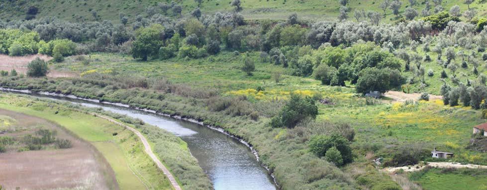
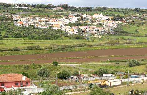
2022
The valley accommodates a Mediterranean forest and a floodplain with a rich estuary landscape that has been fragilized by noticeable informal settlements eating away bits of the forest on the slopes. The presence of industry on productive lands is probably causing ecological fragmentation of the estuary dynamics and modification of slopes’ geological stability. Due to the stiffness of the slopes, the site’s reading is fragmented from an accessibility point of view, although the landscape forms a continuous series of green hills, walking or biking down the valley seems more like a hiking activity than a ballade. Exploring further the hills, we found urban stairs that locals have been using to cross from one side to the other while contemplating the magical views of the estuary landscape. Touring the valley and being submerged by green hills and panoramic views, simulated the idea of a landscape tableau to be contemplated from every part of the plateau. With the plateau being a strategic point that overlooks the Trancao landscape, we could prospect a ballade park along the edge of the plateau as a public space that connects visually the town to the estuary. Taking the road leading down to Caminhos de Fatima path, we also appreciated the presence of terrace farming that accompany the road, unfortunately, disturbed by fragments of industrial buildings. Could terrace farming be a structural element strengthening slope afforestation?
To conclude, Trancao’s estuary landscape qualifies the rural identity of the region and provides the valley with potential. Although the steep topography of the valley complicates accessibility through soft mobility, urban design and forest corridors could create connectivity between the different parts of the site increasing social cohesion and environmental resilience.
97
© Fatma Ben Hfaiedh
Trancao Estuary Landscape,
© Fatma Ben Hfaiedh
Productive Landscape views from the plate, 2022
Peri-urban mobility
Nguyen
The municipality of Loures is a peri-urban area within the Lisbon Metropolitan Area (LMA). In 2017, the share of people living in rural areas was 26.3% (decreased by 1.4% in the last 5 years) and 27.5% of the rural population was considered at risk of poverty or social exclusion (Lorenzini and Ambrosino, 2019; 2). Peri-urban areas encompass both characteristics of the urban and rural world, often located in-between the urban core and the rural landscape. They are traditionally viewed from an urban planning perspective as ground for urban sprawl, and poorly integrated regional and trans-regional mobility infrastructures (Soares et al., 2012). As such, these dynamic areas are under enormous pressure due to ongoing urbanisation impacts on more traditional activities such as agriculture, forestry and natural areas. Loures is no exception in Portugal, with some of the most competitive agricultural regions being located in or near the metropolitan regions (Soares et al., 2012).
Accompanying this urbanisation pressure, is the (in)capacity to cope with daily commuting to and between the urban centres, and the increasing conflict between the various users embedded within the peri-urban landscape. Historically uncontrolled processes have resulted in a highly fragmented urban fabric and loss of morphological coherence, negatively impacting on the city’s natural, economic and social components as a whole. According to Goncalves et al., Loures is spatially categorised as an area of dependence on road transport for commuting – namely individual private transport, as well as public transport where there is a high percentage modal split in bus. It is also characterised by a high
percentage of people who work or study in other municipalities (Goncalevs et al., 2013; 8). Suburbanisation and “settlement development models usually present greater land use, a higher reliance on individual and motorised mobility, and low chances to use public transport” (Torquati et al., 2020; 2). Hence, there is a need to reconsider territorial planning which limits as much as possible the negative aspects of dispersed settlements.
In 2014, the national program “Porta a Porta” was developed to introduce alternatives to individual car dependency for the mobility of the entire Portuguese population living in low-density territories. It aimed to increase the mobility of people (especially the elderly) “living in sparsely populated areas through a public transport service on demand” (Lorenzini and Ambrosini, 2019; 8). Despite these efforts, our analysis of the public transport network coverage and scheduling points to a suggested ‘mobility poverty’ in Loures raising concerns of compounding spatialised inequality.
98
Ken
Bus network is relied upon by a high percentage of residents work or study in other municipalities.
Poor mobility planning and land use issues negatibely impact on the urban quality of the predominately aged population.
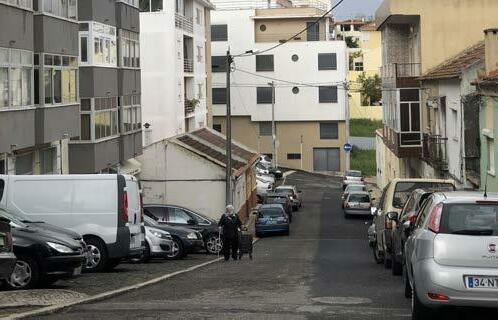
Oversized car infrastructure within the suburban fabric consumes space that could otherwise be more efficiently used for active modes of transport and public open space.
Increasing reliance on individual private transport in historic areas with on off-street parking has resulted in the consumption of open space for parking.
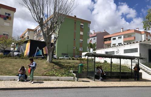
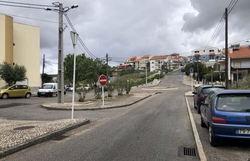
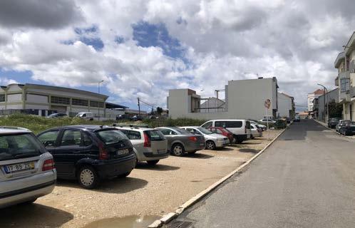
99
© Author, 2022 © Author, 2022 © Author, 2022 © Author, 2022 © Author, 2022
1. Whilst not completely flat in topography, San Joao da Talha could generally be considered as located on the plateau between the Targus and Trancao floodplains. The urban fabric is characterised predominantly by ‘planned estate’ morphology of single, detached housing, however within the village centres, denser typology of housing including apartment blocks and terraced dwellings can be found.
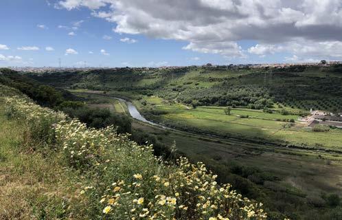
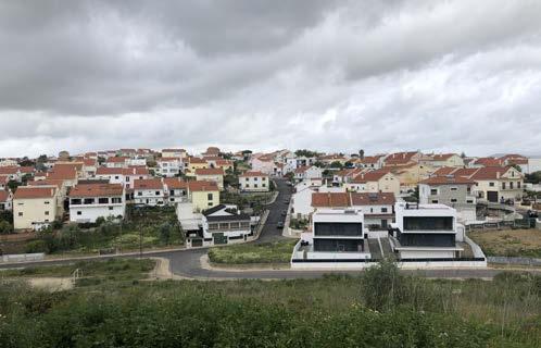
2. The neighbourhoods of San Joao da Talha are fragmented by the intersection of the A1 motorway through the centre of the parish; the railway, national highway and industrial uses isolate San Joao Da Talha from the Targus. Despite Ecoparque SJDT providing much needed public open space for the residents, its location next to the A1 motorway impacts on its urban quality through traffic noise (cars, buses and lorries). Are there opportunities in the area to create additional high quality open spaces for passive recreational uses that are orientated from the
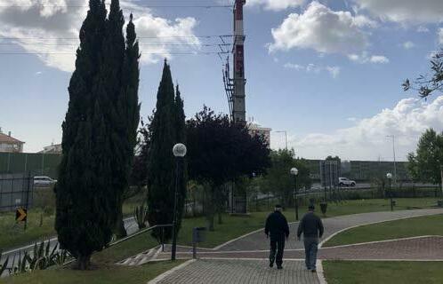
100
2022 ©
©
© Author, 2022
© Author,
Author, 2022
Author, 2022
3. Equally, steep slopes to the west of San Joao da Talha largely constrain physical access to the Trancao floodplains and the Camino de Fatima via a steep paved road (Rua do Poco).
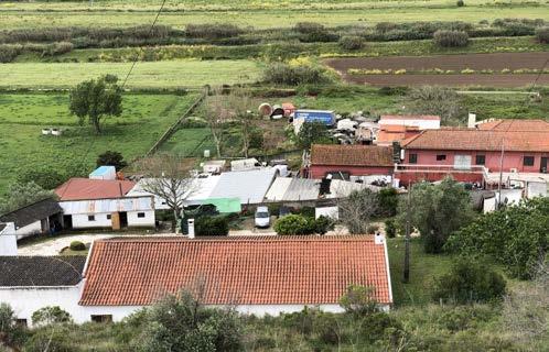
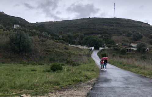
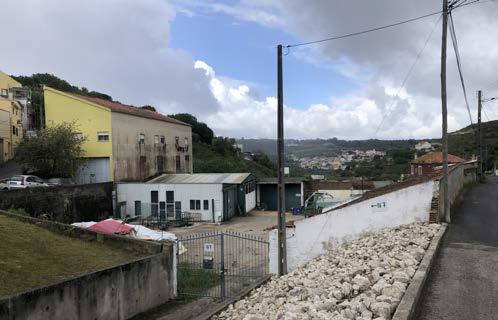
4. The landscape leading down to the river is fragmented by a mix of privately owned land and buildings of various uses –agricultural, residential, and industrial, all lacking a coherent urban logic. The question is how current uses of this area are addressed considering the zoning designation of ‘natural zone’. Is there a potential to relocate elsewhere and reclaim for reforestation and passive recreational uses?
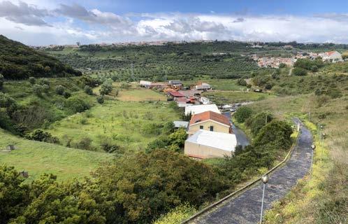
101
2022 ©
©
©
© Author,
Author, 2022
Author, 2022
Author, 2022
5. The edges of the plateau are largely isolated and inaccessible from the neighbourhoods and overall residential fabric –suburban plots turn their backs on the river, and large industrial sites are dotted along these edges.
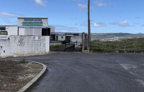
6. A dilapidated open space (consisting of terraced platforms) exists on the northern edge of Rua do Poco. Can rehabilitation of this area into a new urban park re-establish a connection between river/valley, suburban fabric and the urban centre (of San Joao Da Talha to the west of the A1 Motorway)?
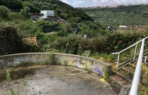
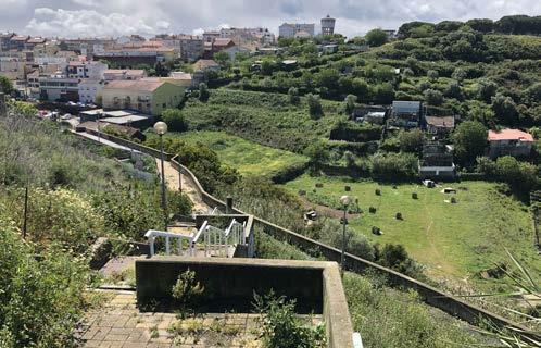
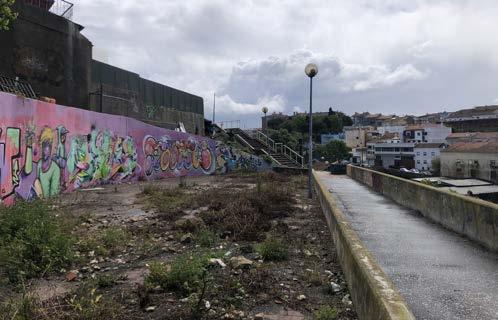
102
©
©
© Author, 2022 © Author, 2022
Author, 2022
Author, 2022
7. Industrial sites such as the ‘Antigo Estaleiro Teixeira Duarte’ and the ‘Zona Industrial Vale Figueira’ could potentially be postindustrially renewed for residential densification and public services. Adapative re-use of existing industrial structures could offer an opportunity to valorise the architectural patrimony of the neighbourhood and offer modular and scalable affordable housing solutions. Sustained industrial uses could be reintegrated into the revised urban tissue and selectively reorganised on the municipality level.
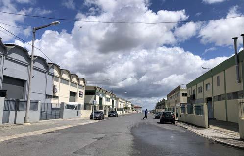
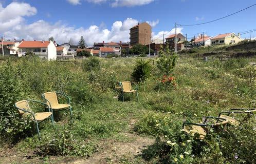
8. Overall, there is a need to optimise land use through by overlapping urban programmes and mixed-functions. Mobility needs to be interwoven with green open spaces as a network of publicly accessible social spaces that not only enhances neighbourhood social cohesion, but provide connective tissue for terriotorial cohesion with neighbouring areas such as Santa Iria de Azoia to the north. Enabling selective densification of the existing suburban fabric will thereby minimise further impact on more vulnerable areas and preserve space for healthy functioning of natural systems.
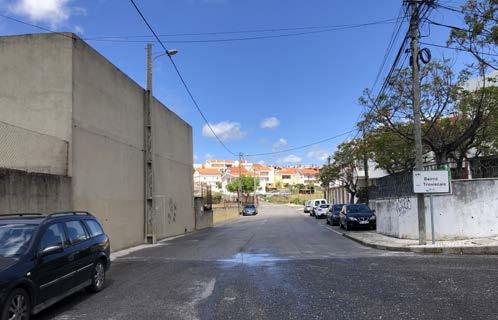
103 © Colprinter, 2013. < http://www.colprinter.pt/instalacoes/ int_01.jpg> (Accessed April 15, 2022). © Author, 2022 © Author, 2022 © Author, 2022
Urban cohesion
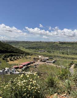
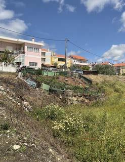 Ana Veronica Martinez
Sao João de Talha is part of the Municipality of Loures. The site, case 3, is located in the highest part of a steep topography turning it into a plateau and is part of the Vale da Figueria and Barrio das Mariotas, culminating with an excellent view of the Trancao river’s floodplain. It seems that the edge between this floodplain and the plateau has been the focus for development in the area. The site is divided into clearly identifiable areas such as downtown, suburb and industry that can be called as “clusters”. This division is often notable because of steep topography and avenues creating a variation in densifications. According to the PDM (Municipal Master Plan) there are few lots that are still available for development which are called "Spaces to be urbanized".
The interpretation of the site can begin with the center, where the commercial movement is most noticeable and the important events take place. Most of the typology are buildings of 4 to 5 floors of residential use and commercial on the ground floor. According to the 1946 military map, what is now considered the center was where the site's first developments were. Looking at it from above, it is a row development which expanded to the limit of the plateau. There are few institutional function sites. In the middle of the center there are abandoned spaces used for parking which could have a better use.
The center is surrounded to the north and south by suburbs. With a density lower than that of the center, the PDM indicates that many of these lands are in the process of being legalized, this refers to the fact that the lots were distributed and resold illegally at the time of sale. These are single-family houses with backyards. There are many vacant lots which the neighbors have used as urban agriculture or kitchen gardens.
104
Figure 1. Lots without buildings where neighbors take part to do urban agriculture or kitchen garden. Figure 2. Industrial zones on the edge of the plateau. Figure 3. Building Typologies in the today's center of the city. Green spaces invaded by parking spaces. (Photo credits: Ana Martinez)
On the other hand, in the steepest part of the hill, there are still informal settlements which this is a problem that the city of Lisbon is currently having. Many steep hills throughout the city have been illegally, invaded which is a danger to the inhabitants as they run the risk of landslides and fires, even when these settlements do not have a well thought regarding their structural basis. The government has gradually been able to advance this issue by collapsing many of these settlements, however, in this particular site there are still informal settlements of empirical construction. The inhabitants of the area have created enough robust accesses to be informal, which could be a potential to work on the existing without having to eliminate it altogether.
In addition to the issue of suburbs, there are lots with industrial uses. What should be emphasized about this use is that a large percentage is located at the limit of the plateau that faces the floodplane. At a certain point this leads to the conclusion that this beautiful view is the backyard of the city. In addition, many of these buildings are used as warehouses and are clearly not being used as their primary use. On the other hand, there is also a large industrial area which is several blocks of this use. Among the types of industry are: textil, car depots, car parts, metal and wood cutting and depositing, furniture manufacturing, logistics and a minority in administrative offices. This massive footprint of industries is what currently divides the city center with the suburb on the south side
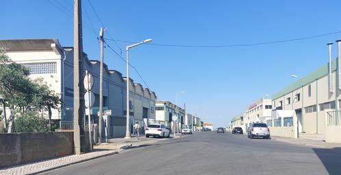
As for the existing avenues and streets, as a result of the topographic difference throughout the site, many of them are not used by the pedestrian since they are very uncomfortable when walking or using the bicycle. Few people use the bicycle as a means of transport and clearly most of the people who live use the car to transport themselves. Adding to this, there are few public transport lines that reach there.
To conclude, it could be said that it is a site of difficult analysis for a future urban development thanks to its drastic topographic differences. However, if can be seeing as the positive part of it by re-thinking the current development in some way that benefits people with public uses, especially in spaces with potential such as on the edge of the plateau that faces the floodplain. Definitely this place is already densified and the solution to this is not to build more housing in places where there is actual green, since they are very scarce. Changing uses of these big blocks of industries, restructuring the green areas and in some way creating a connection between these "clusters", which exist today, would be a good start for a change in the urban structure of the city.
105
Figure 4. Industrial massive blocks. Figure 5. Very steep streets creating difficulty in mobility. In the background, the suburb with a low-density house, showing the topographic variations throughout the site.
(Photo credits: Ana Martinez)
Figure 6. Informal settlements in the hill. Figure 7. Very steep streets creating difficulty in mobility and at the same time informal settlements can be seen in the streets near residential buildings. (Photo credits: Ana Martinez)
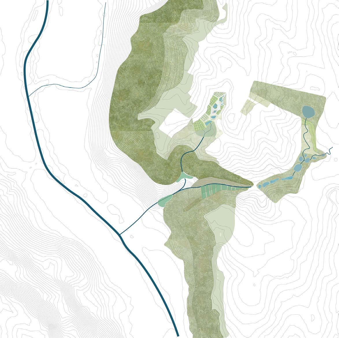 FATMA BEN HFAIEDH ANA VERONICA MARTINEZ KEN NGUYEN
03.03a

STRATEGIC PROJECT
On the plateau of São João da Talha
107 © Fatma Ben Hafiedh
On the plateau of S. João da Talha
Fatma Ben Hfaiedh
Ana Veronica Martinez
Landscape Interpretation

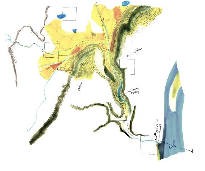
Sao Joao de Talha is an atypical case in the context of the Trancao Floodplains, it is situated on a high plateau that connects horizontally to the Trancao estuary through a valley. The topography is composed of flat areas and steep green hills, the magical views of the valley and Loures floodplains can be seen from a 100m high plateau. The Valley is composed of slopes and flat productive lands. In the middle, locals have been terrace framing and cultivating olive tress.
The valley landscape is composed of a rich ecological system that accommodates an estuary vegetation around the river and Mediterranean species on the slops. Due to the good quality of soil that supports pruning, an agro afforestation could restore the ecological balance that the town's informal urbanization fragilized.
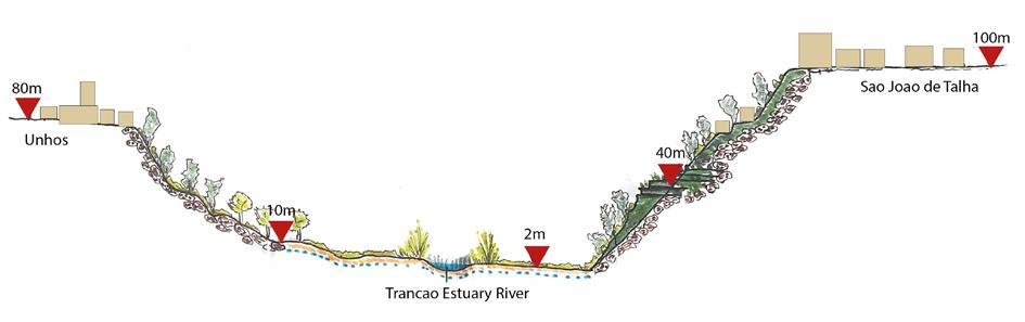
108
Natural Landscape mapping of the Trancao floodplains, Scale : 1:15000
The valley Landscape composition and topography
© Fatma Ben Hafiedh © Fatma Ben Hafiedh
Urban Tissue Interpretation
The origin of the urban fabric that is the start of the today’s city center, has a high densification base in row housing.
At the same time is surrounded by two sides of suburbia tissue. This behaviour is repetitive throughout the plateau, this means that all cities have suburbs and additional industries around them. With respect to the edge of the plateau, it is in the middle of urban and rural. Making the view to the floodplain be the backyard of all this industrial sites.
On the other hand, there is this massive footprint of industrial use, that doesn’t fit in this urban structure. Many of these industries are dedicated to car parts, textile production, wood and aluminium cutting, among others.
109
© Ana Veronica Martinez
Interpretation of the Trancao floodplains map, Scale : 1:15000
© Fatma Ben Hafiedh
110
Conceptual vision
By decoding the military map of 1946, we observe the origin of the urban fabric, that is the start of the town, what today is the city center. Regarding the irrigation system it was connected through two water streams that goes down following the natural topography. Additionally, the presence of two wells. On the other hand, we can see that the forest had a bigger footprint and denser structure on the plateau than today’s picture
The project genesis is an afforestation operation from the bottom of the valley to the top of the plateau. The slope afforestation design is a result of tracing back the past landscape patterns and the existing vegetation following the quality of soil and the percentage of the slopes that can accommodate certain species.
On the edge of the plateau, a sandy contemplation park acts as a medium between the urban fabric limit of the town and the slopes of the valley. An attempt to re-qualify the space identity and take advantage of the plateau's views of the estuary landscape.
The afforestation extends to the town's urban fabric in forms of neighbourhood parks that connect the MetroPublicNet through forest corridors and reprofiled streets. Every park is designed in a way to accommodate productive lands and community gardens in the urban space and create a social space for the communities.
To maintain the park, The project propose water cycling rainwater by catching it in depression areas of the topography . The water is conveyed in uncovered streams along walking paths that down stream to the Trancao river creating different wetlands. The experience of the parks are a result of micro landscape that water and urban design can create. An afforestation in an urban fabric can only take place with a demolition of certain industrial facilities and informal housing.
111
Interpretation of the military map of 1946
Afforestation and water design with prospective demolition
© Fatma Ben Hafiedh
© Fatma Ben Hafiedh and Ana Veronica Martinez
Olive trees can stand on very steep slopes, resistant to climitic variations and have a fire retardant property. Therfore, the afforestation of the slopes uses olive trees as an agro-forest and some types of oak trees that are resilient.
Conceptual section demostration the creation of new water streams in the topography of public spaces
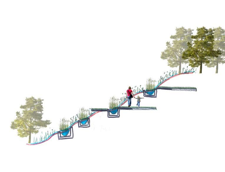
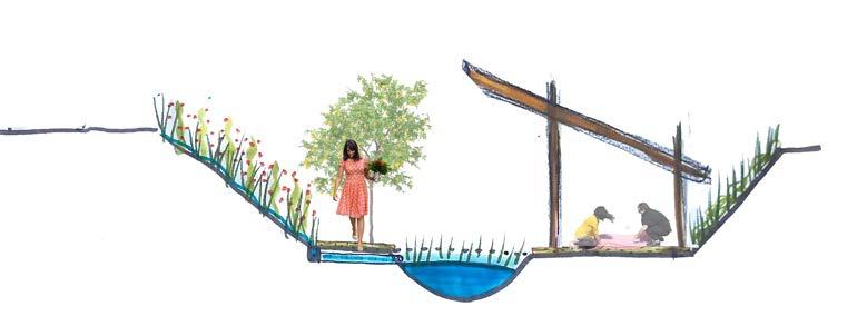
Conceptual section of community gardens in the urban fabric
112 © Fatma Ben
Hafiedh
<25
Landscape as a Medium Between Urban and Rural
To restore the ecological balance of the region, afforestation and water retention parks will create a new ecological system that is accommodate to the urban/rural identity of Sao Joao de Talha. To raise the local communities awareness on soft mobility, the project propose a studied network of bike lanes that circle the town and give access to the other side of the valley through a soft mobility bridge.
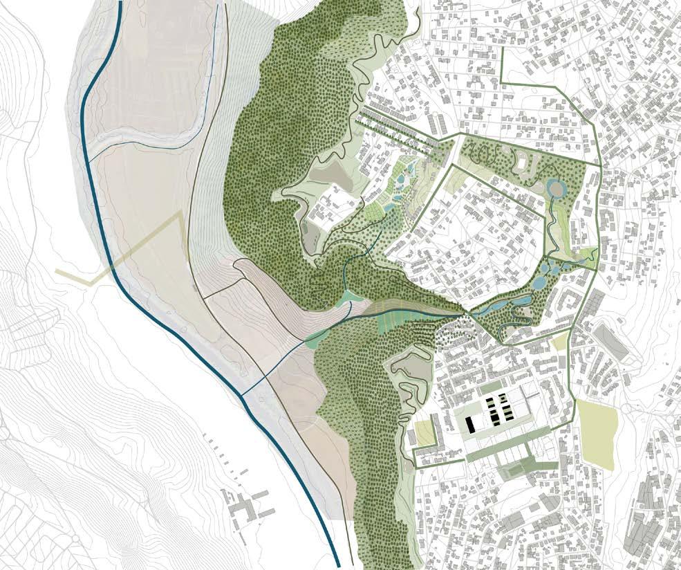
113
© Fatma Ben Hafiedh
Each public space is an experience of the walking paths network. Mixing community gardens, wetlands landscape and agro-forest to create series of micro landscape that stitches Sao Joao de Talha urban fabric.
114
Section B-B
© Fatma Ben Hafiedh
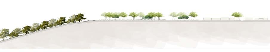
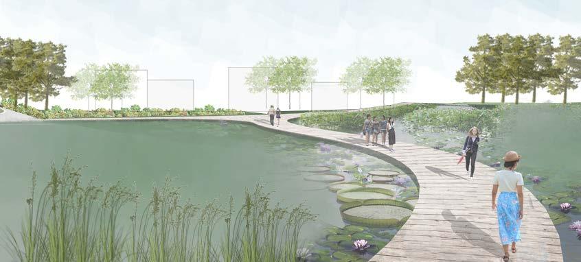
115
© Fatma Ben Hafiedh and Ana Veronica Martinez
© Fatma Ben Hafiedh
Rethinking Industrial Fabric Into Affordable Housing
Our proposal is based on the re purposing of the massive patches of industrial buildings. It consists in changing the function of the area. For this, the current structure will be used, that is, the shell, which the industrial buildings currently have and changing their internal distribution to implement the new housing units (Figure 4).
The project is thinking to be made by phases, beginning with the 2 buildings in front of the actual green space and then the rest, that has the same theory of reproduction but adding also cultural activities buildings with open spaces. This will allow the direct connection and will break the separation of both tissues, industrial and residential. (Figure 1)
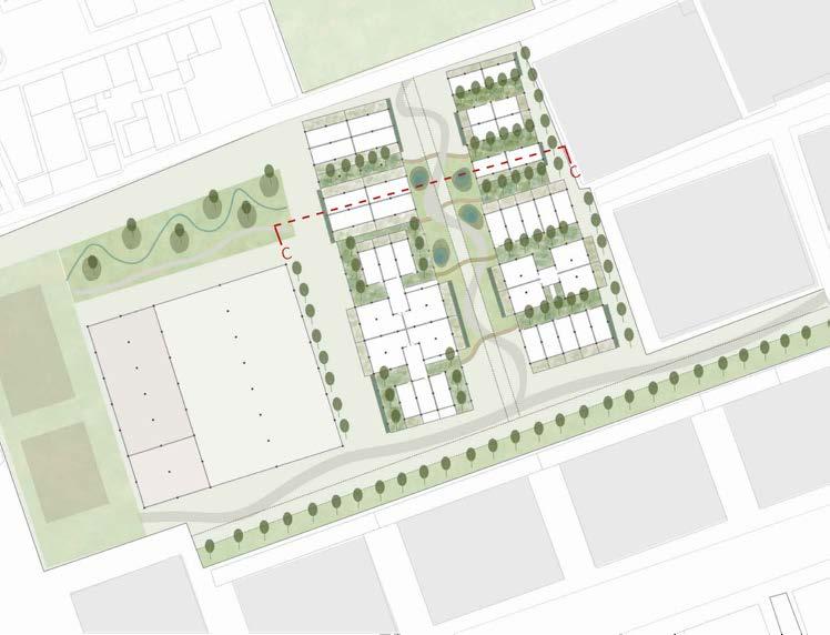
Regarding the typologies, the mixed system is the concept of the distribution inside the buildings. This means that in the same block it has studios, row housing, duplex and family apartment, giving a total of 46 units in overall. All units are designed to have 2 or more orientations for better lighting and ventilation within them. (Figure 5)
Figure 1.
As this floor is already sealed, it doesn’t retain high amount of water. Through time there will be a change by incorporating ponds of water retention as part of the green spaces between the buildings. This will be provided by the structure of the roof of each building that helps catch the water from the rain (Figure 2).
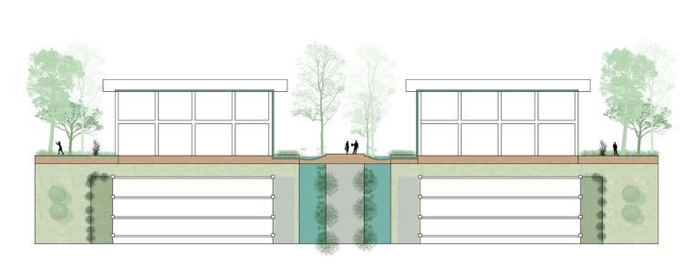
116
© Ana Veronica Martinez
© Ana Veronica Martinez
The new design of the buildings will allow the welcoming to a connection within all the site by internal passages creating relationship and interaction between the habitants, within this public spaces. On the other hand, it is very common to see in the surrounding suburbs, people doing kitchen gardens on their private properties, and that is why the ground floor units have a private space set aside for this purpose. (Figure 1 and 3)
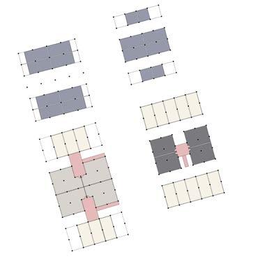
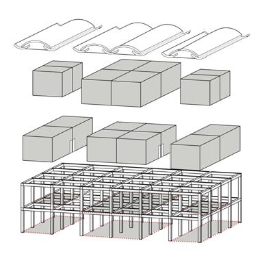
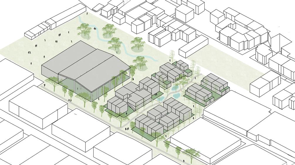
117
© Ana Veronica Martinez
© Ana Veronica Martinez
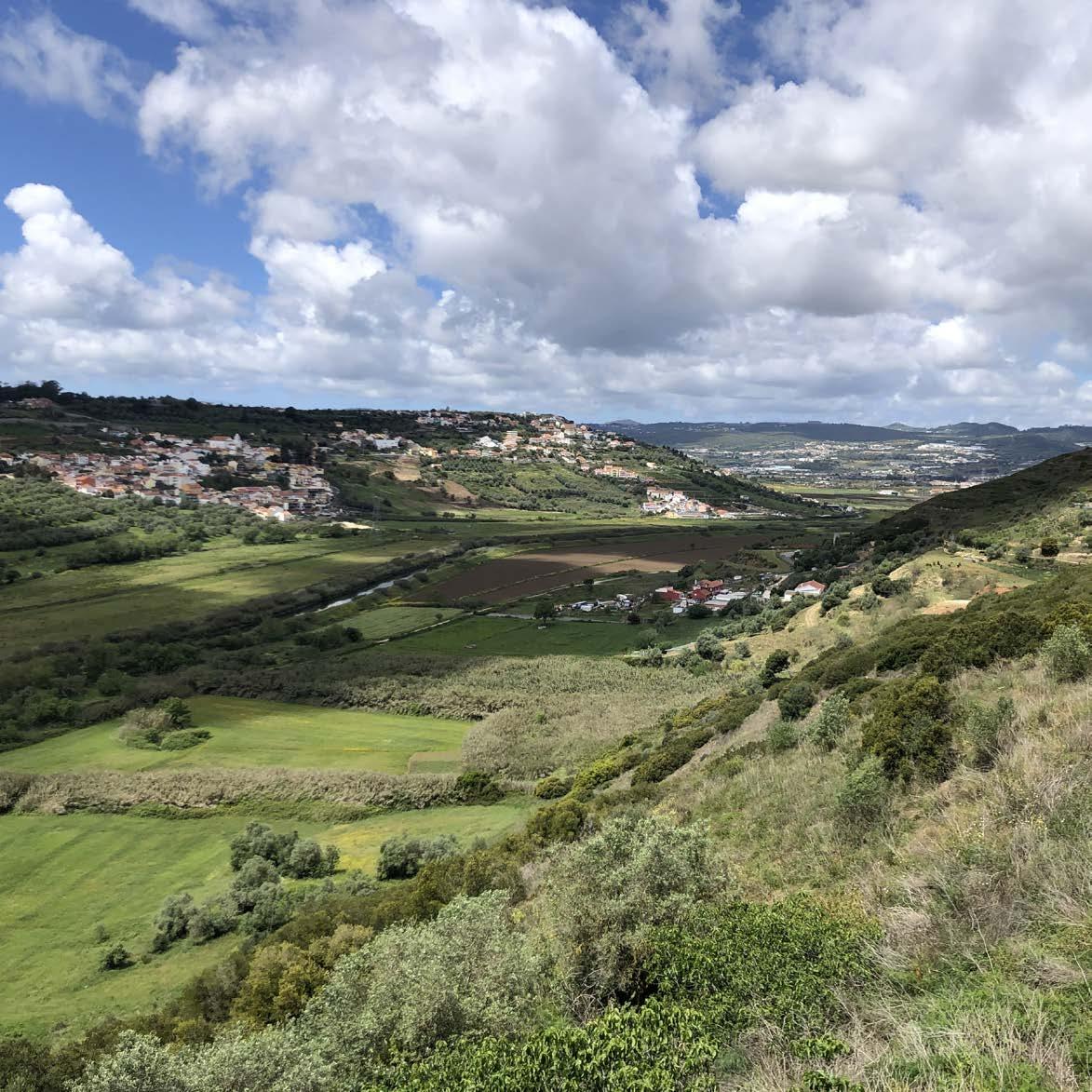
03.03b STRATEGIC PROJECT
A new suburban vision for São João da
Talha
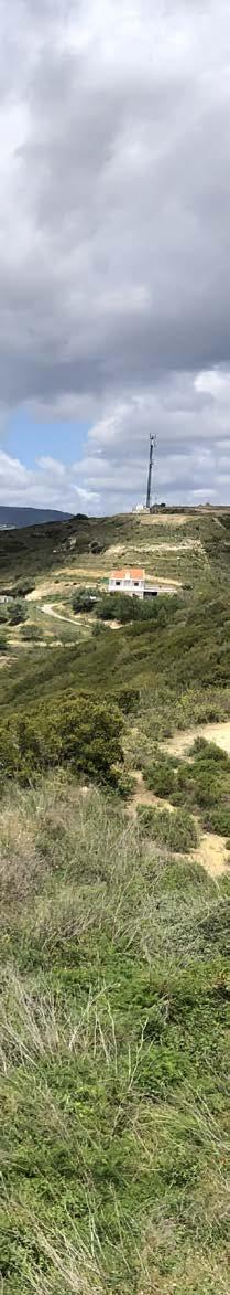
119 KEN NGUYEN
A new suburban vision for S. João da Talha
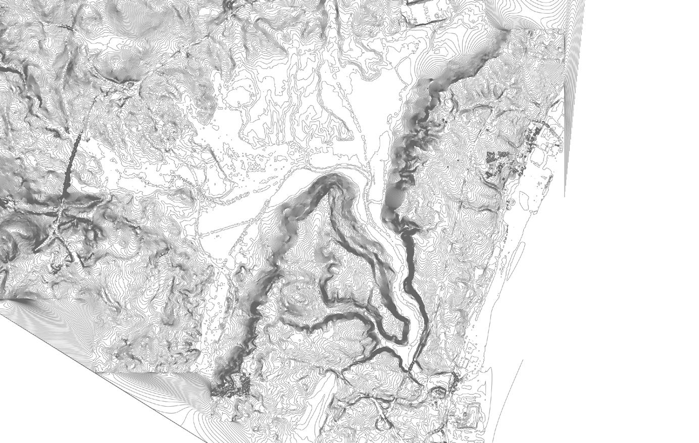 Ken Nguyen
120
Interpretive Mapping
Unlike the other case studies investigated in the Lisbon Studio, São João da Talha is perched high above the Trancao floodplains, spatially bounded by a steep ridge to the west along the Tranco and (gently sloping down towards) the Tagus River on the east. The landscape today between the settlement, valley and floodplains is parcelised and fragmented, lacking any coherent structure. Historically, the productive landscapes and later industrialised estates were found dotted along the rige and valley, replaced by parcelised lots of single detached housing. At the same time, the territorial cohesion of the entire parish is further divided into two by the regional motorway, whilst direct access to the Tagus is impeded by railway and industrial infrastructure along the waterfront. As such, São João da Talha is left spatially isolated from Lisbon centre, as well as other settlements in the municipality of Loures - the vernacular of urban processes has left São João da Talha turning its back on the Trancao.
Miltary Map 1945 - 'Vale de Figueira' as a settlement within the parish of São João da Talha, serving as a nucleus of the Quintas and agricultural functions along the valley down to the floodplains.
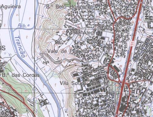
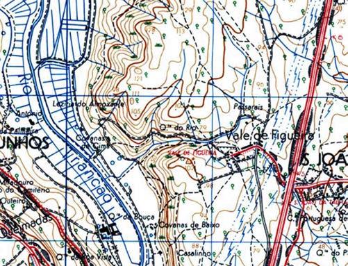
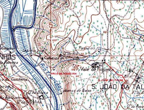
Miltary Map 1965 - Historic rural roads appears, connecting Vale de Figueira to the northern and southern settlements. At the same time, the regional motorway is built, intersecting the parish and spatially dividing the urban tissue into two.
Miltary Map 2009 - Traditional agricultural uses are replaced by industry as the primary local enconomy, introducing new urban tissue of dense workers' dwellings. Away from the nucleus, a suburban tissue is imposed on the (post-agricultural) landscape.
121
An overlay of the existing urban tissue over a slope analysis of the broader context reveals historic patterns of urbanisation over time. In steep sloped areas in red (>25%), Quintas are often found dotted in the landscape from agricultural functions. In the orange areas (12-25%), we can see that these areas remained largely undeveloped until processes of suburbinsation occured.
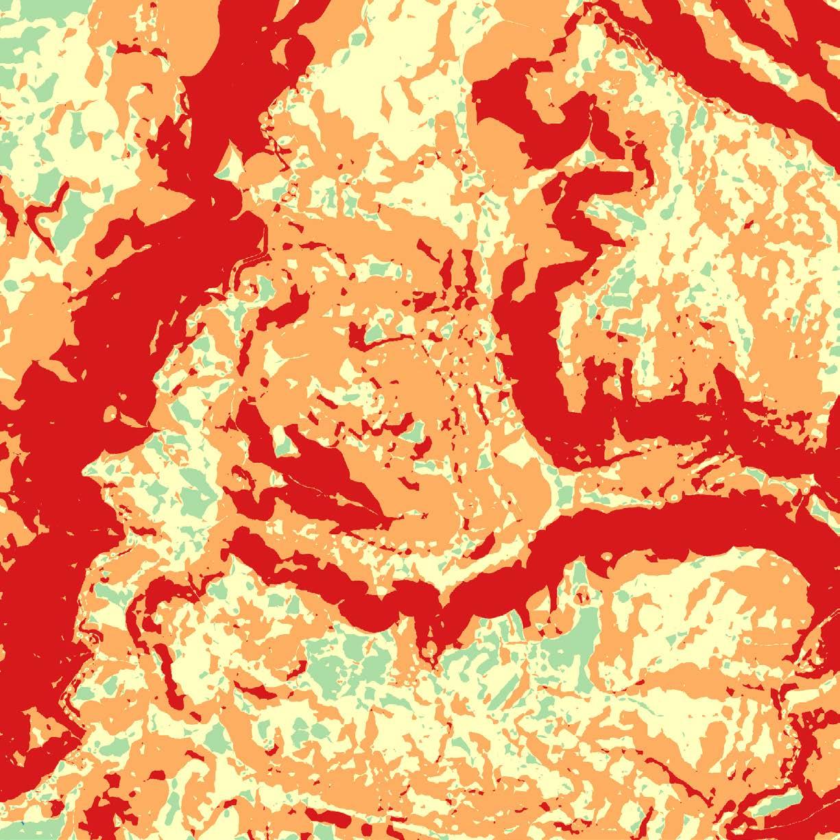
The Disrupted Ecological Corridor
Agricultural uses and fragmentaion of the valley landscape have severely impaired the natural functioning of the Vale de Figueira valley as an ecological corridor.
(Orchard)
Agricultural (Crop)
123
4.5m 50m 110m 120m
Agricultural
Dense Vegetation Forested Area Case 3 - Green & Blue Sections 800m 90m
Design Project
Grassland
Shrubland Agricultural (Crop)
Marshland Agricultural (Orchard)
Dense Vegetation
Forested Area
Land Coverage Analysis
Mapping spatial information of the different types/classes of physical coverage across the broader site context to inform anthropological impacts on the natural landscape.
Case 3 - Green Structures (Slope 1:12,500 (A1)
124
Topography & Watershed
Topographical mapping of the watershed reveals pluvial runoff falling to a central depression in the valley, leading down into the floodplains of the Trancao River.
125
Single
Single
Other Programmes
Precarious
126
Design Project Hybrid Analysis - Existing Programme & Building Heights
110m 90m
70m
50m 40m 30m
Dwellings Commercial Only Light Industry 100m
90m 100m 80m 70m 60m 50m 80m
60m
10m 20m
Housing #
Dwelling 1 Level
A
B Open Space Roads Public Open Space (Park) Lisbon Studio Trancão Floodplains Urban Tissue Analysis
Dwelling 2 Levels Mixed-Use 2 Levels Mixed-Use 3 Levels Mixed-Use 4 Levels
1 Square = 6.25ha
Drawing Key (1:500 Urban Tissue Plan) ‘Valley’ Drawing Key (1:500
Housing
Single Dwelling 1 Level Single Dwelling 2 Levels
Multi-Resential 3 Levels Multi-Resential 4 Levels Multi-Resential 5 Levels
Mixed-Use 2 Levels
Mixed-Use 3 Levels Mixed-Use 4 Levels Mixed-Use 5 Levels Other Programmes
Urban Tissue Analysis
A hybrid analysis of the existing urban tissue provides an indication of not only the distribution of urban programmes, but also concentrations of housing densities. The correlation between the two reveal the potential how suburbisation processes and lack of social infrastructure provision, can give rise to spatial segregation and mobility poverty for its residents.
In São João da Talha, we see the historic neighbourhood centre (C) with a largely varied urban programme and housing density due to urbanisation of the historic tissue. To the west in the old neighbourhood (B), denser multi-residential housing was provided for workers of the nearby industrial estates. Suburban fabric to the north (A) and south (out of image), reveal patterns of sprawl characterised by wide streets and single detached dwellings. Finally, as the sprawl began to merge neighbourhood centres, we see the proliferation of ribbon development (D) along the key local roads.
Precarious Housing Commercial Only Light Industry Social / Public Public Open Space (Parks)
Sample Area 1 14,000m2
Sample Area 2 37,200m2
Proposed Urban Tissue Sample
Dwelling Typology
Townhouses Units Maisonettes (Reconverted Warehouses)
Total Dwelling Density / FAR
# Dwellings 18 7 32 57 40 u/ha
GFA 3,520m2 2,160m2 720m2 6,400m2 0.45
Dwelling Typology
Terraces Apartments Townhouses Units Rowhouses Total Dwelling Density / FAR
Dwelling Typology Apartments Total
127
(Park)
C D
Design Project
Average
Dwelling Topologies
Detached Single (Dominant) Semi-Detached Single

Average
Dwelling Topologies
Semi-Detached Single Detached Single Apartments (Dominant) Mixed-Use Apartments
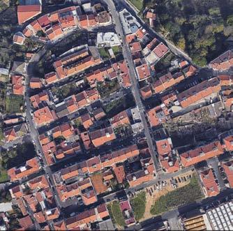
128 100m 110m 90m 80m 70m 60m 50m 80m 70m 60m 50m 40m 30m 10m 20m
Neighbourhood
Suburban Tissue Analysis Old
Tissue Analysis
Dwelling / Plot 240m2
Average Plot Size 300m2 Plot Ratio 0.4 Average FAR 0.8 Indicative Density 20 u/ha
100m 110m 90m 90m 100m 80m 70m 60m 50m 80m 70m 60m 50m 40m 30m 10m 20m
Dwelling Plot 500m2
Average Plot Size 220m2 Plot Ratio 0.77 Average FAR 2.27 Indicative Density 82 u/ha
Village Nucleus Tissue Analysis
Ribbon Tissue Analysis
Dwelling Area / Plot 80m2 - 1160m2
Plot Size 120m2 - 600m2
Plot Ratio 0.67 - 0.93
Average FAR 0.67 - 1.93
Indicative Density 88 u/ha
Dwelling Topologies
Semi-Detached Single Apartment (Dominant) Mixed-Use Apartments
Dwelling Area / Plot 80m2 - 1160m2
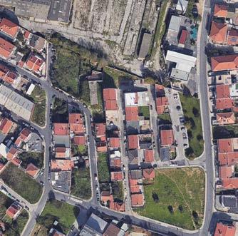
Plot Size 120m2 - 600m2
Plot Ratio 0.67 - 0.93
Average FAR 0.67 - 1.93
Indicative Density 28 u/ha
Dwelling Topologies
Semi-Detached Single Apartment (Dominant) Mixed-Use Apartments
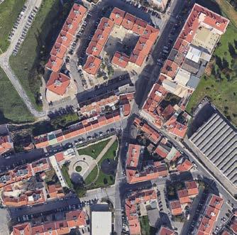
129
90m 100m 80m 70m 60m 50m
50m
Design Project
Repro led Existing Road
New Soft Mobility Path
Pedestrian Connections
Historic/Valley Roads
Requalification of the road network as public open space
Existing roads which are retained are strategically reprofiled and requalified as part of the urban fabric in the form of public open space. They become both passages for movement, as well as space for collective gathering and urban functions.
130
Infrastructure Rationalisation & Compartmentalisation
Excess provision of roads from the superimposition of a parcelised suburban fabric are rationalised and compartmentalised into smaller functional 'neighbourhoods'. Physical barriers along the main valley are transformed into public open spaces that enhance the ecological functioning of the green corridors.
131
Compartmentalisation
Design Project
A New Suburban Vision for São João da Talha & Vale de Figueira
The case here in São João da Talha is to shift the suburbian paradigm away from single-issue solutions and continued proliferation of single-dwelling family housing, and towards one which redefines a new urban tissue that reconsider how residents can better live, work, produce, recreate and prosper. The focus lies in the intertwining of human habitation and urbanisation with the natural environment and its ecological systems - through building less, but providing more.
A combination of reforested, mixed agroforestry productive landscapes, wetlands, lakes and wild plains are part of reclaimed land that contributes to the regeneration of biodiversity to ensure a flourishing and resilient environment, whilst protecting the quality of the water which flows down towards the Trancao.
Reimagined typologies of smaller footprint, sustainable housing are coupled with the revalorisation of the post-industrial parcels along the ridge and the valleys, transforming them into a network of interconnected public open spaces perched above the floodplains. On the human scale, they become collective spaces for social gathering and cohesion, whilst ensuring easily accessible and well distributed amenities for residents.
On the territorial scale, the hillside and its urbanisation is revalorised as part of the Trancao system and as part of the wider Loures municipality. These open spaces are woven together with a new soft-mobility spine - encouraging active modes of transport locally, but also enhancing connections to neighbouring villages and the floodplains as an interconnected, regional recreational natural space.
132
Existing Forested Area
Existing Park / Public Open Space
Revalorised Natural Open Space
Revalorised Public Open Space
(Requalified Road / Infrastruc ture)
River Camino de Fatma
New Graded Valley Soft Mo bility Route (Rua do Poco)
New Regional Soft Mobility Route
Local Soft Mobility Routes
133
Design Project
134
0 10
São João da Talha Structural Sketch
1:500 1:500
Case 3 /
Fig Tree Valley / São João da Talha Lisbon Studio Trancão Floodplains
Grassland
Agricultural (Orchard) Dense Vegetation Forested Area 20m
Case 3 / Fig Tree Valley / São João da Talha Lisbon Studio Trancão Floodplains Ridge Axonometric Section
60m
70m
50m
Shrubland Agricultural (Crop) 5m
40m
Marshland 10m
30m
Reforestation of the Valley
Urbanisation of the valley and plateau has a severe impact on the quality of water descending down to the Trancao Floodplains. To mitigate the impacts of urban pollution and stormwater run-off, the valley is reforested with fire-resitant species and orchards as part of mixed-use agro-forestry and silverculture landscape.
135 50 100 200
5m 10m 20m 30m 40m 50m 60m 70m 80m 90m 100m 110m
Shrubland Agricultural (Crop) Marshland Agricultural (Orchard) Dense Vegetation Forested Area
Grassland
Ridge Axonometric Section
Design
136
80 80 80 70 60 60 70 80 90 100 90 100 1 5 9 10 2 12 6 17 7 16 15 11 8 9 6 1 3 4 2 5 14
Project Urban Tissue Sample (Valley Confluence)
Strategic Interventions
1. Bio-retention planting at base of slope to capture and filter urban stormwater runoff
2. Submerged and floating macrophyte planting to support aquatic habitat 3. Floodable Paths 4. Re-landscaped grasslands into floodable urban landscape (mounds partially accesible by bridges after heavy rainfall)
5. Buffer shrub planting to support wildlife habitat, softening landscape treatment to new retaining wall edge and shading 6. Strengthen existing forest structure along valley edge 7. Post-Industrial landscape renaturalised
14. Terraced ‘fanya-juu’ agriculture to assist in soil and water conservation 15. Relocated precarious housing residents on forested slopes reaccommodated in new urban tissue supported by urban farming collective 16. Existing industrial buildings with heritage character preserved and readapted into new housing 17. New soft mobility route graded for cycle access with landing platforms at key viewpoints
Case 3 / Fig Tree Valley / São João da Talha Lisbon Studio Trancão Floodplains
Legend & Drawing Key 10
Bio-retention planting at base of slope to capture and lter urban stormwater runo
Submerged and oating macrophyte planting to support aquatic habitat
Re-landscaped grasslands into oodable urban landscape (mounds partially accesible by bridges after heavy rainfall)
8. Parcel lines and urban block deconstructed with new open spaces anchorde to new soft mobility routes 9. New soft mobility as connective tissue to enhance/reactivate existing urban parks 10. Existing road network reconverted into pedestrian and cycle priority public open space anchored to community or commerical uses 11. Existing road network reprofiled (partial removal of on-street carparking) to accommodate tree planting, bio-swales and rentention pits to slow and capture urban stormwater runoff
Bu er shrub planting to support wildlife habitat, softening landscape treatment to new retaining wall edge and shading
12. Cascading water landscape as open space landscape feature and to filter/treat/aerate water 13. Existing industrial infrastructure reconverted into community sports facilities
Parcel lines and urban block deconstructed with new open spaces anchorde to new soft mobility routes
New soft mobility as connective tissue to enhance/reactivate existing urban parks
Existing road network reconverted into pedestrian and cycle priority public open space anchored to community or commerical uses 11. Existing road network repro led (partial removal of on-street carparking) to accommodate tree planting, bio-swales and rentention pits to slow and capture urban stormwater runo 12. Cascading water landscape as open space landscape feature and to lter/treat/aerate water 13. Existing industrial infrastructure reconverted into community sports facilities 14. Terraced ‘fanya-juu’ agriculture to assist in soil and water conservation 15. Relocated precarious housing residents on forested slopes reaccommodated in new urban tissue supported by urban farming collective 16. Existing industrial buildings with heritage character preserved and readapted into new housing 17. New soft mobility route graded for cycle access with landing platforms at key viewpoints
137 80 90
80
Agriculture Forest
Bio
Green
Urban
Public
Community
New
Collective
Vertical
Semi-Private
Balcony
Mobility 1:500
1.
2.
3.
4.
5.
6.
7.
8.
9.
Landscape
Area
Retention & Filtration
Open Space Water Bodies
Tissue
Open Space
/ Commercial Programme
Dwellings
Spaces
Circulation
Open Space
/ Terrace
Urban Tissue Soft Mobility Priority Road Recreative Network Regional Cycle Network Local Cycle Network Slow / Recreative Route
Floodable Paths
Strengthen existing forest structure along valley edge
Post-Industrial landscape renaturalised
10.
Design Project
CENTRO COMUNITÁRIO DE VALE DE FIGUEIRA CENTRO COMUNITÁRIO DE VALE DE FIGUEIRA
New Collective Programme Activating Requalified Open Spaces
New housing with collective programmes on ground floor are anchored to requalified open spaces and reforested grassland at the confluence of the valley, activating the area as the 'gateway' of the village back towards the Trancao.
138
80m
FIGUEIRA
75m
70m 65m
FIGUEIRA 60m
139
140
100 100 110 110 90 Urban
2 3 6 9 10 8 7 10 11 14 17 10 3 4 5 1
Design Project
Tissue Sample (Ridge & Sub-Valley)
Strategic Interventions
1. Bio-retention planting at base of slope to capture and filter urban stormwater runoff
2. Submerged and floating macrophyte planting to support aquatic habitat 3. Floodable Paths
4. Re-landscaped grasslands into floodable urban landscape (mounds partially accesible by bridges after heavy rainfall)
14. Terraced ‘fanya-juu’ agriculture to assist in soil and water conservation 15. Relocated precarious housing residents on forested slopes reaccommodated in new urban tissue supported by urban farming collective 16. Existing industrial buildings with heritage character preserved and readapted into new housing 17. New soft mobility route graded for cycle access with landing platforms at key viewpoints
Case 3 / Fig Tree Valley / São João da Talha Lisbon Studio Trancão Floodplains
Legend & Drawing Key
5. Buffer shrub planting to support wildlife habitat, softening landscape treatment to new retaining wall edge and shading 6. Strengthen existing forest structure along valley edge 7. Post-Industrial landscape renaturalised
Urban Tissue
Bio-retention planting at base of slope to capture and lter urban stormwater runo
8. Parcel lines and urban block deconstructed with new open spaces anchorde to new soft mobility routes 9. New soft mobility as connective tissue to enhance/reactivate existing urban parks
Submerged and oating macrophyte planting to support aquatic habitat
10. Existing road network reconverted into pedestrian and cycle priority public open space anchored to community or commerical uses
Re-landscaped grasslands into oodable urban landscape (mounds partially accesible by bridges after heavy rainfall)
11. Existing road network reprofiled (partial removal of on-street carparking) to accommodate tree planting, bio-swales and rentention pits to slow and capture urban stormwater runoff
Bu er shrub planting to support wildlife habitat, softening landscape treatment to new retaining wall edge and shading
12. Cascading water landscape as open space landscape feature and to filter/treat/aerate water
Post-Industrial landscape renaturalised
13. Existing industrial infrastructure reconverted into community sports facilities
Parcel lines and urban block deconstructed with new open spaces anchorde to new soft mobility routes
New soft mobility as connective tissue to enhance/reactivate existing urban parks
Existing road network reconverted into pedestrian and cycle priority public open space anchored to community or commerical uses 11. Existing road network repro led (partial removal of on-street carparking) to accommodate tree planting, bio-swales and rentention pits to slow and capture urban stormwater runo 12. Cascading water landscape as open space landscape feature and to lter/treat/aerate water 13. Existing industrial infrastructure reconverted into community sports facilities 14. Terraced ‘fanya-juu’ agriculture to assist in soil and water conservation 15. Relocated precarious housing residents on forested slopes reaccommodated in new urban tissue supported by urban farming collective 16. Existing industrial buildings with heritage character preserved and readapted into new housing 17. New soft mobility route graded for cycle access with landing platforms at key viewpoints
/ Terrace
Mobility Priority Road
Network
Cycle Network
Cycle Network
/ Recreative Route
141
100
110
Agriculture Forest
Bio
Urban
Public
Community
New
Collective
Vertical
Semi-Private
Balcony
3.
4.
7.
Landscape
Area
Retention & Filtration Green Open Space Water Bodies
Tissue
Open Space
/ Commercial Programme
Dwellings
Spaces
Circulation
Open Space
Mobility 1:500
Soft
Recreative
Regional
Local
Slow
1.
2.
Floodable Paths
5.
6. Strengthen existing forest structure along valley edge
8.
9.
10.
1 17
Design Project
Rethinking Suburban Dwelling
Suburbanisation through the parcelisation of agricultural land into private lots has given rise to the proliferation of space consuming single-detached housing. Oversized dwellings embedded within large suburban plots have resulted in the consumption of land with poor mono-functional uses. The strategy for São João da Talha could equally be applied to many other contexts across Portugal and worldwide. Rethinking the 'suburbs' by rationalising infrastructure, reducing dwelling footprints (through shared collective amenities and open space) and redefining land ownership under a model of community land trusts to give rise to multi-functional, social and collective spaces upon which social cohesion can begin to flourish with a stronger collective neighbourhood identity.
Type 3a 3F Units (45-90m2) GFA 720m2
Type 3c 3F Townhouse (45-90m2) GFA 120m2
Type 4a 4F Apartments (45-90m2) GFA 2400m2
Type 3b 3F Townhouse (45-90m2) GFA 100m2
Type 2a 2F Rowhouse GFA 110m2
Type 2b 3F Rowhouse GFA 130m2
Type 4b 3F Apartments (45-90m2) GFA 1600m2
Type 1 Terraced Dwelling GFA 120m2
142
12 30
10 GF
3F R GF 2F 3F GF 2F 3F GF
-0.5 GF
GF 2F 3F GF
3F 4F R 9
8
21
5.2
2F
2F
2F
2F
6.5
7.2
13 9 6.5
Scale, Density & Typologies
Limiting new typologies within the existing suburban fabric not only ensures an appropriate transition in scale from the existing tissue, it ensures that buildings are constructed within unnecessary infrastructure such as lift cores. Limited-mobility dwellings could be provided on ground floor, whilst a diverse mix of dwelling sizes also cater for a wider range of residents to ensure a mix for social cohesion and housing accessibility/affordability.
Adaptive Re-Use of Existing Buildings
Whilst light-industry and large commercial premises feature as part of the urban tissue of São João da Talha, the future preservation of this particular architectural patrimony will ensure that rather than erasing the 'mistakes' of the past, these buildings can be adapted to contribute positively to the urban functioning as new, modular and scalable dwellings. The adaptability that it provides will ensure that residents such as those displaced from precarious housing, have the opportunity to 'customise' their new homes according to their individual needs.
143 Type 5
Re-use Industrial Sites
(110m2) 5.7 12 New Housing Modules Based on Existing Grid System GF 2F 3F Demolish Warehouse Shell Partial Demolition Existing Concrete Slab for New Water Pits Shading Structure Retain Existing Heritage Character Concrete Gutter Channels Retain Existing Heritage Character Structural Columns Building Footprint Indcative Dwelling Area Community Space Collective Amenities (Laundry, Kitchen, Workshop) Semi-Private Open Space Deck/Terrace Open Space Floodable Open Space
Adaptive
Maisonettes
Design Project
Drawing Key (1:500 Urban Tissue Plan) ‘Valley’
Drawing Key (1:500 Urban Tissue Plan) ‘Plateau’
Sample Area 1 14,000m2
Proposed Urban Tissue Sample
Dwelling Typology Townhouses Units Maisonettes (Reconverted Warehouses)
Total Dwelling Density / FAR
# Dwellings 18 7 32 57 40 u/ha
GFA 3,520m2 2,160m2 720m2 6,400m2 0.45
Sample Area 2 37,200m2
Sample Area 3 5,200m2
Open Space
Public Open Space Productive Space Renaturalised
Dwelling Typology Terraces Apartments Townhouses Units Rowhouses
Total Dwelling Density / FAR
Dwelling Typology Apartments
Total Dwelling Density / FAR
GFA 2,600m2 5,200m2 3,000m2
Open Space
Public Open Space Productive Space Renaturalised
# Dwellings 23 56 30 35 24 168 54 u/ha
GFA 2,760m2 4,320m2 3,600m2 3,600m 3,210m2 17,400m2 0.54
# Dwellings 3 Blocks 35 - 50 (77 m2 - 110m2) 67 - 96 u/ha
GFA 3,870m2 3,870m2 0.74
GFA 6,600m2 10,000m2 4,200m2
144
Open Space
Public Open Space Productive Space Renaturalised
Dwelling
Dwelling Typology Apartments
Total Dwelling Density / FAR
GFA 2,600m2 5,200m2 3,000m2
Open Space
Public Open Space Productive Space Renaturalised
# Dwellings 3 Blocks 35 - 50 (77 m2 - 110m2) 67 - 96 u/ha
GFA 3,870m2 3,870m2 0.74
GFA 6,600m2 10,000m2 4,200m2
‘Building As Usual Scenario’
Sample Area
1 (14,000m2)
2 (37,200m2) 3 (5,200m2) Total
Existing Typology / Density B (82 u/ha) A (20 u/ha) C (88 u/ha)
# Dwellings 114 74 45 233
Summary Proposed
# Dwellings 57 168 50 275
Di erence -57 +94 +5 +42
Revalorised Open Space +10,800m2 +16,600m2 +4,200m2 +31,600m2
The Municipal Master Plan (PDM) is a statutory planning control which is often a poorly applied tool used to demarcate zones - based on the 'validation' of existing land uses, rather than a comprehensive overhaul related to an urban, morphological or natural landscape logic. As such, they are more likely to be employed as urban restructuring tools - special uses, suburbanisation, densification or consolidated areas.
Above, we can see that a snapshot of sample areas filled out in a 'building as usual' scenario according to the constraints of the PDM, provides for a relatively poor provision of new housing. Conversely, the proposed methodology of filling out existing suburban infrastructure with alternative typologies embedded within a multi-functional landscape logic, yields a small increase in new dwelling - however with a substantial increase in revalorised area of open spaces for public use.
There is no doubt there is a shortage in housing and an affordability crisis in Lisbon. However, with an unaccounted 48,000 dwellings in Lisbon centre and a growing 'commuter' trend from the suburbs to the city centre for employment (elaborated in the individual critical essays in Chapter 3), there is a need to rethink strategies for combating the housing crisis. The provision of new housing in the suburbs contributes to sprawl and loss of territorial cohesion across Lisbon, increased pressure on the roads and pollution from privatised forms of transport (or substantial unnecessary investment in public transport funding), and most importantly, the continued consumption of land which risks the natural functional of the landscape ecological systems.
The case for São João da Talha is to maximise the use of the already provided infrastructure, whilst remediating the damage inflicted on the natural landscape. Whilst the solution provides a modest increase in housing and open space use is optimised, the focus must shift back to policy and systemic housing issues within the context of Lisbon and wider Portugal.
145
0.54
Density / FAR 54 u/ha
The PDM and 'prescribed' planning controls Lisbon and the housing paradox
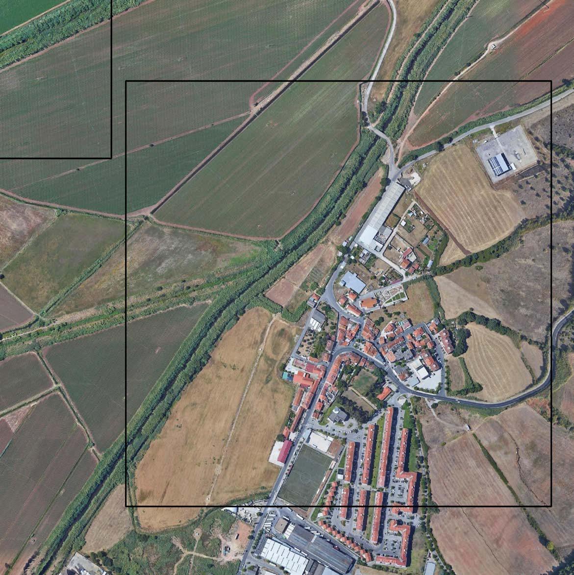
EDWIN KABUGI KARANJA OCÉANE VÉ-RÉVEILLAC ARTHUR VAN LINT
STRATEGIC PROJECT
Case 4 - Frielas
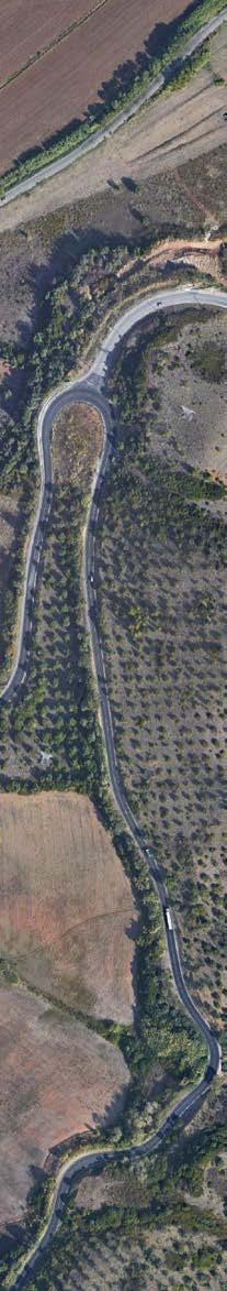
147
03.04
Green and Blue Networks of Frielas
From above, Frielas urban area seems to be a village that is creeping into the natural and productive landscape of the area. At the same time, different landscape elements such as open spaces, orchards, backyard gardens and agricultural fields appear to be pushing around the village and through its voids. Topographically, Frielas is situated between steep hillsides and the floodplain (Varzea) where agricultural production is dominant (Fig1).
In the Urban tissue, there is one green park used by the primary school and a social high-rise residential development with two green spaces, one through it and one behind it (Fig 4). The streets of this residential area are mostly car-filled and made of impermeable asphalt/cobble stones that do not infiltrate water during rainfall. For this, climate resilient strategies such as tree planting and changing the surface of the streets could be used to requalify these streets to also create better public spaces. Many of the remaining housing in typologies in Frielas include orchards and small private/shared gardens in their plots (Fig ).
Fig. 1: The hills and the floodplain
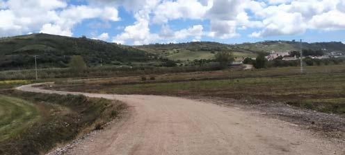
While approaching the site from the south, past IKEA, there is a huge open land on the left of the main road, which is quite muddy after rainfall. Beyond the field and just before the floodplains is a waste treatment plant (Fig 2) sharing an edge with the river, where it continuously drains all its treated yet nutrient-rich water. The eastern side of the road/site is a huge industrial area ascending a hill, beyond which the hill is a steep natural landscape with different types of vegetation. Walking the streets of the industrial area (mostly warehouse typologies) on a sunny day is quite strenuous as it is uphill and lacks trees for shade, just low bushes. A tree planting program could be used to requalify this area. There are several natural and constructed water channels that direct upstream water down the hill (Fig 3).
Fig. 4: Grass Lawn Fig. 3: Water Channel
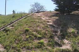
Fig. 5: Orchards
Further north, just before getting to the floodplains is a historic Lavadouro (wash house) and ruins of Roman villa (Fig 6), both of which are inaccessible to the public. These heritage areas could be opened up and requalified as unique public spaces within the urban tissue, that tell the history of Frielas.
In the floodplain, few things stand out; huge dykes (Fig 7) with numerous categories of water/irrigation infrastructure (which seem to work as a system), large open agricultural fields (Fig 8) and one main rough road with a small number of occasional users walking, cycling or driving through the floodplain. There are no people spotted working on the agricultural fields, other than a few (less than five) working the fields with tractors. The floodplain appears to only be a vast landscape figure that mostly benefits the population of Frielas economically (on a large scale) through proceeds from the agricultural produce and environmentally through its countryside characteristics enjoyed by people who love the cool and peace of such a landscape. Apart from visual access, the people of Frielas do not spatially interact with this landscape (largely) as they do not work here nor consume the produce from the agricultural fields. Strategies of urban cohesion that preserve the environment/productive landscape, promote the economy and reduce agricultural exclusivity of the floodplain could be explored in order to link the floodplain with the urban tissue.
148
© Edwin Kabugi Karanja
© Edwin Kabugi Karanja
© Edwin Kabugi Karanja
Fig. 2: Waste Water Treatment Plant
Edwin Kabugi Karanja
Fig.
Fig. 8: Agricultural fields
The managing of the floodplain (floodscape) through dykes and other drainage infrastructure has helped control flash or tidal floods. It has an established water circulation scheme that drains upstream, waste and ground water through canals, rivers and different hierachies of drainage channels; each of which creates mini basins for the main rivers. This water is used for irrigation, where it is pumped from these water courses and channeled to agricultural fields through drip irrigation mechanisms. All the water from the small channels is either directly used to irrigate the fields or first drained into the main rivers {through no-return pressure valves — (Fig 9)} and then pumped back into the field.
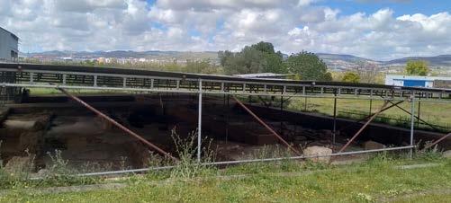
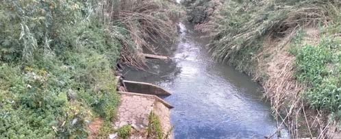
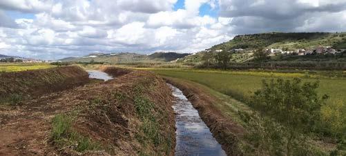
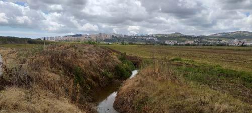
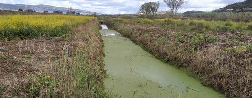
Although it helps prevent flooding of the fields, It is costly to pump back already drained water. New water retention strategies could be employed to manage the flooding and drainage dilemma, to reduce speed of draining water that is needed for irrigation during dry seasons, but still drain excess water to control flooding in the wet seasons. It is also unclear how some sections of the drainage system are connected to the system. Some water channels are blocked/ clogged where the water becomes stagnant and consequently begins to accommodate invasive plants (Fig 10).
Fig. 10: Clogged drainages
To ensure a cohesive territorial landscape, can the populace of Frielas benefit directly from the floodplains either from the agricultural produce of the space near them or new public spaces integrated with the productive landscape? Are there technologies/strategies to reinforce the dykes for added functions such as soft mobility? What water retention strategies could be employed to make maximum use of water for irrigation before draining it? With the prediction of having inland tides moving up to Frielas in the near future, how can the dyke system be redesigned to give more space for water and possibly turn Frielas into a noble port town with new coastal meaning that includes access by small boats for economic, agricultural or touristic purposes among others? What will be the new dynamic of managing water in this scenario? The urban tissue in Frielas will respond to landscape adaptation strategies employed.
149
© Edwin Kabugi Karanja
© Edwin Kabugi Karanja
© Edwin Kabugi Karanja
© Edwin Kabugi Karanja
© Edwin Kabugi Karanja
Fig. 6: Historic Roman Villa
7: Dyke and Drainage Channels
Fig. 9: No-return pressure valves
Mobility in Frielas
Arthur Van Lint
The municipality of Loures - located in the north of Lisbon Metropolitan Area - consists of several urban cores that are spread out around the floodplain of the Trancão river, a tributary of the Tagus estuary. Despite their close proximity to the centre of Lisbon, these rather small-scaled urban cores often seem to be isolated; each village on their own. One of the main reasons for this isolation is the messy mobility network of the area. Whereas most of the small villages are rather easily accessible by car, the use of public transport often requires a lot of patience. Besides, easy transport by bike or foot is in most cases impeded by either the dirt paths in the floodplain that are heavily weather dependent or by the steep topography changes in between the floodplain and the surrounding plateaus. By rethinking fast mobility, public transport and soft mobility together as layers of a coherent network in the floodplain and the surrounding villages, the urban cores could become better connected to each other and to Lisbon. Furthermore, they could become levers for urbanisation (of course with due respect to the rich natural environment.)
An important link in this renewed mobility network is the village of Frielas, which is - unlike many of its neighbouring urban cores - located close to the Trancão floodplain both in terms of distance and in terms of topography. Nowadays, Frielas is mostly known for its conglomeration of industrial terrains (Fig. 1) and an IKEA establishment that is located next to the A8 highway. Tucked away behind this industrial facade, the historical village centre and a more recently built residential neighbourhood are located next to the floodplain of the Trancão river, which is regularly used for leisure by mountain bikers, runners and hikers. However, the village currently has no real connections with neither the industrial terrains nor the floodplain. (Fig. 2) Furthermore, the village itself clearly consists of several zones (the historical centre next to the floodplain, a primary school on an “island”
in the middle, the recently built neighbourhood next to the industrial terrains…) that are separated by roads that are mostly used by through traffic. (Fig. 3)
In terms of mobility, there seem to be two main lines of thought to improve some of the above stated issues - both on the scale of the village and on the scale of Loures. Firstly, it seems logical to turn back the facade of Frielas to the side of the floodplain, in which the village has the potential to become an important landmark and halt for a new, improved soft mobility network in the floodplain. The location of Frielas seems ideal for this role because of the close proximity and limited height difference with the floodplain. On top of paths for hiking, running and cycling, leisure in the floodplain could also take the form of small boats (kayaking, canoeing…) in the future as the water level in the floodplain as the tidal water from the Tagus may possibly reach Frielas. The village could thus become a port for this leisure network, where users could take a break in the village, visit the archaeological site of a recently discovered Roman Villa and where bikes and boats could be rented. However, to fulfil this role, the route between the village and the floodplain has to be redesigned to provide a safer and more enjoyable connection. A second strategy would be to rethink the car and bus routes that run through the centre of Frielas - hand in hand with designing new soft mobility connections between the separated village zones. By creating a bypass for fast through traffic higher up, further away from the floodplain, fast traffic could be pulled away from the centre and the village of Frielas could become a primarily pedestrian area, where buses and occasional cars are guests rather than the other way around. (Fig. 4-5) In this new situation, safe and enjoyable pedestrian and bike paths could stitch together the diverse disconnected zones of the village and improve the urban cohesion of Frielas.
Fig. 4: Frielas and the Trancão floodplain are separated by busy traffic, 2022.
150
© Arthur Van Lint
© Arthur Van Lint
Fig. 1: Car-crowded street in industrial zone, 2022.
Fig. 4: Main car road passing through the centre of the village, 2022.
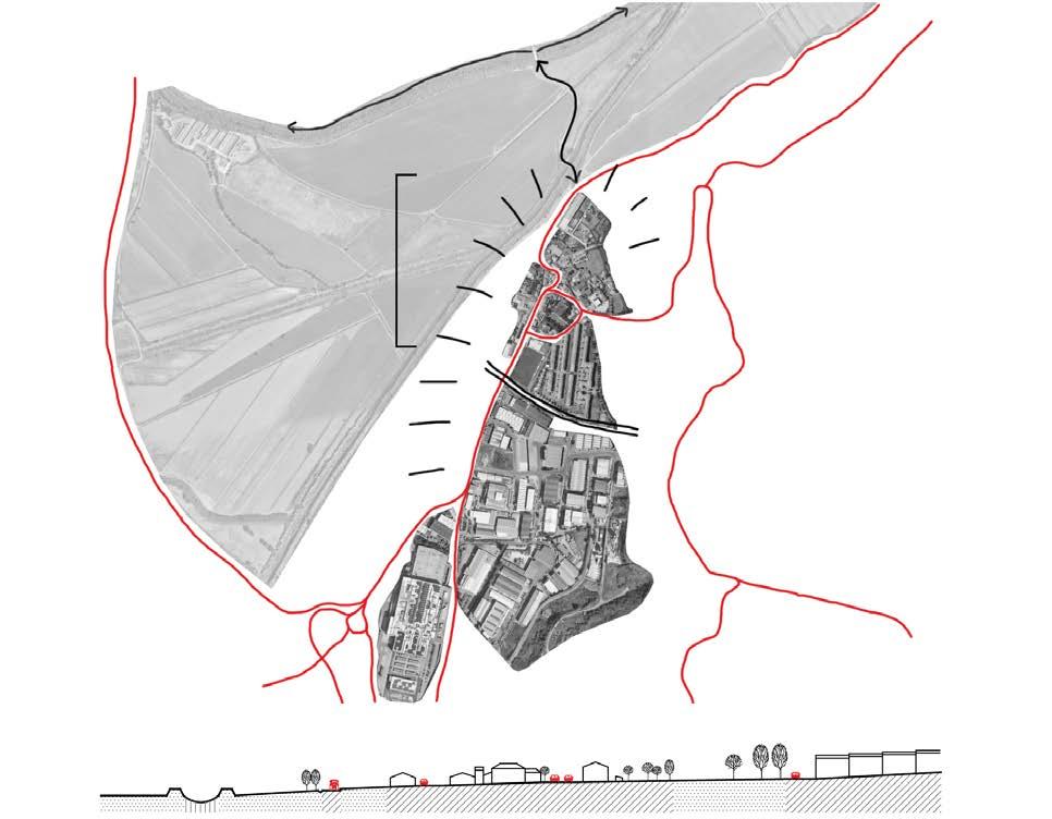
Fig. 5: Car-crowded street in newer residential area of Frielas, 2022.
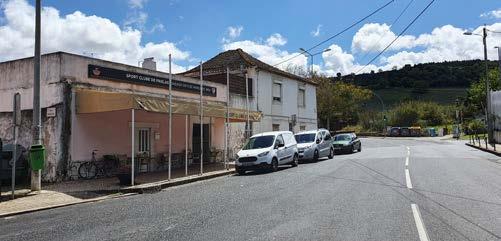
151
© Arthur Van Lint
© Arthur Van Lint
Fig. 3: Frielas is divided into disconnected zones by road infrastructure that is mostly used by though traffic.
Frielas behind IKEA
Océane Vé-Réveillac
Frielas is at the base of a hillside and historically benefited from the proximity to the Trancão River. Characteristics of this rich region in marshes, the soil is inher ently fertile since it is fed by the estuary of the River Tagus, through the Trancão.
During the Middle Ages the kings of Portugal spent some time in Frielas on the way to their summer residence traveling on the historical Path of the People, Caminho do Povo. Excavations of a Roman villa testify of an even earlier presence of settlement in Frielas dating from the Late Antiquity.
Olive groves on steeper slopes and agriculture in the floodplain surrounds Frielas. It is also crossed by a national road and served by the western highway. The pres ence of the water constrained by the dyke is hidden. Only the former wash house reveals in the village the presence of the water nearby and its use linked to it. The settlement of Frielas is composed of a heterogeneous urban tissue: a nuclear vil lage, a cooperative housing estate built by the public transportation company, an industrial zone with mostly logistic warehouses, and a water treatment plant.
The nuclear village orients towards the main road. It supports the primary car traf fic through the village and has a significant role in Frielas' urban life. Along this artery, the small central square, partially occupied by cars, opens up with a café, restaurant, hairdresser, ATM, sports club, and school. The urban tissue inside the village is mainly continuous and 2 to 3 stories high with a pitched roof, and orange tiles. Only a couple of collective housing buildings in the center stand out. They were built at the beginning of the 2000s. Around 2008, a community center and a multifunctional pavilion were constructed in the center of the village. Today it is used for senior gatherings, gymnastic sports, and local events. The adjoining square provides a public space without a car and ends up with the main bus stop from the village, in front of the sports café, also one main meeting point in the vil
lage. Despite the provision of commerce, the central road and its car traffic cut the village into two parts. The narrow sidewalks do not provide a comfortable space to walk and the crossing due to the tight curve can be delicate.
The settlement built by the public transportation cooperative Carris docks in the village might have been carried out because of the proximity to the industrial area where a hub for bus parking from Carris is located. The whole settlement stretches out on a gentle slope where the floodplain is visually seen but felt as the backyard of the village.
Another commercial square can be found in the Carris settlement with a shop, a restaurant, and a playground. The streetscape in this ensemble alternates between heavy car parking and green pedestrian paths. The last slab opens up to the plateau and has a view of the olive tree fields. At its foot, some recreational areas have been places and a landscaped pedestrian path crosses by, leading to the industrial area.
The area zoned as industrial is characterized by large roads to support the lorry traffic. Most of the ground is sealed and a landscape of fences pictures the streets cape. Most of the constructions are lightweight warehouse structures with rather sporadic offices or showrooms. Implemented uphill, a cement plant still runs and is one of the few productions on site. However, this area has great assets in terms of visual relation to the alluvial plain. It spreads on the hillside and looks directly towards the floodplain. The whole plain horizon can be experienced, from the last
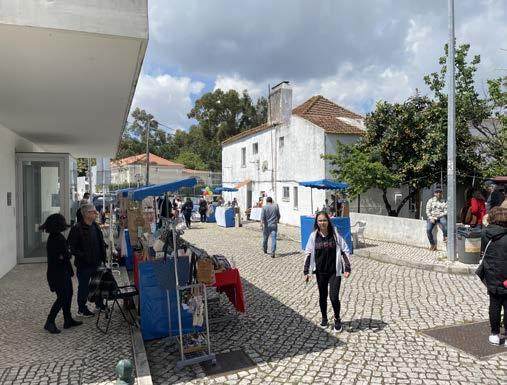
152
Frielas center, between old village and newly built multifunctional pavillon, 2022
upper street.
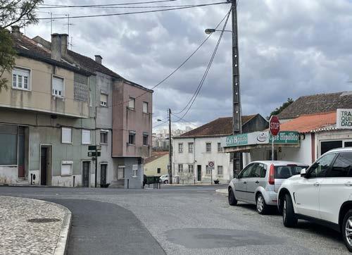
The water treatment plant is isolated at the end of Frielas. Even if the local author ities try to change the representations around the plant by renaming it a water fac tory, the process is still invisible. This relevant infrastructure for the territory treats the water from a significant amount of homes and pumps the treated water out in the main dyke together with the river water from upstream. The water treatment plant constantly releases a great amount of water that could be used in a design proposal since it reveals a contradictory situation: long droughts affect agriculture while water is being directed in a channel to go as fast as possible to the sea.
Through this analysis, emanate relevant questions to be taken care of while design ing a proposal for the urban tissue in Frielas:
How to intensify housing in Frielas without expanding urban sprawl and increas ing sealed ground?
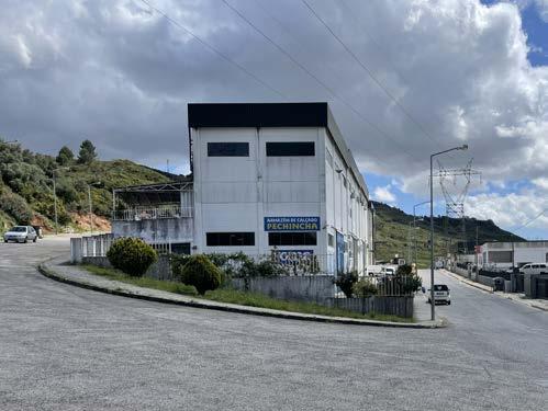
How to intensify Frielas relation to the landscape figure of the floodplain?
How to design an urban tissue that answers the extreme climatic conditions like droughts and floodings and intelligently mitigate their impacts?
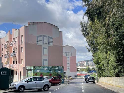
153
©all photos: Océane Vé-Réveillac
Industrial zone built on the slope, mostly occupied with ware houses, 2022
Visual contact with the Trancão's floodplain from the Carris Settlement, 2022
The central road cut the village in two parts, 2022
Frielas
Edwin Kabugi Karanja Océane Vé-Réveillac Arthur Van Lint
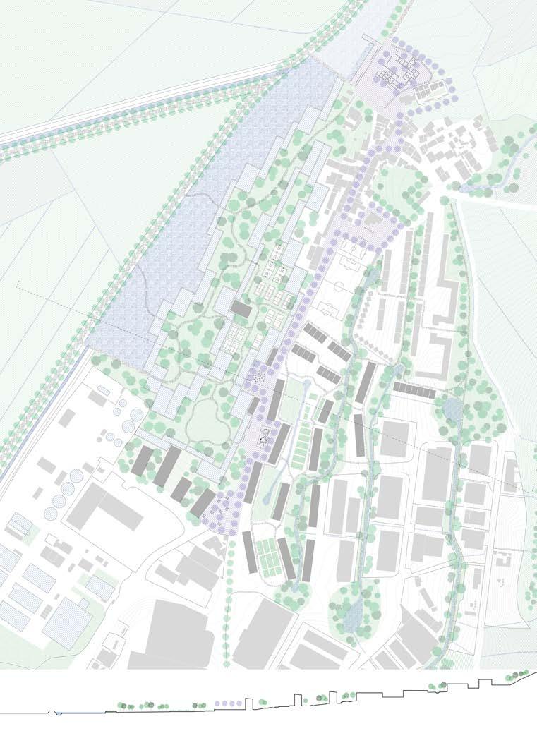
154
Frielas is a small village in Loures; a municipality in the north of Lisbon Metropolitan Area. The village is located in between the Trancão floodplain, steep hills and an extensive industrial zone, for which Frielas is mostly known nowadays. Tucked away behind the trucks and warehouses lies the modest village of Frielas that contains a handful of characterful places, but that is also shattered into small zones, separated by busy car traffic. Furthermore, the motorized traffic also impedes a potentially interesting relation between Frielas and the floodplain; as the village is located close to the river branches both in terms of distance and height difference, there is a unique opportunity for Frielas to be requalified as a village at the water, rather than the backside of an industrial zone. Besides the water in the river branches, which is currently hidden and channeled away rapidly within high dykes, Frielas also contains several streams of uphill water and a water treatment plant that causes the addition of a constant water flow into the river. Finally, Frielas is also one of the furthest villages where the tidal water of the Tagus could ever reach, making it a truly unique location where all these different types of water meet.
In this context, our proposal is to reorient the face of Frielas towards the floodplain and to stitch together the currently separated zones of the village through a number of strategic interventions. A first objective is to slow down and retain the water in diverse ways. Uphill water from small streams is retained as high as possible by creating a retention structure once every two streets in the industrial zone, while keeping the other streets accessible for trucks. For the water from the treatment plant, a terraced post-treatment system is created. In this constructed wetland, the water is slowed down and cleaned before ending up in a large retention pond together with the water from the river branches. Through the construction of a dam at the end of this pond, a constant body of water is ensured from which the local agriculture can always tap.
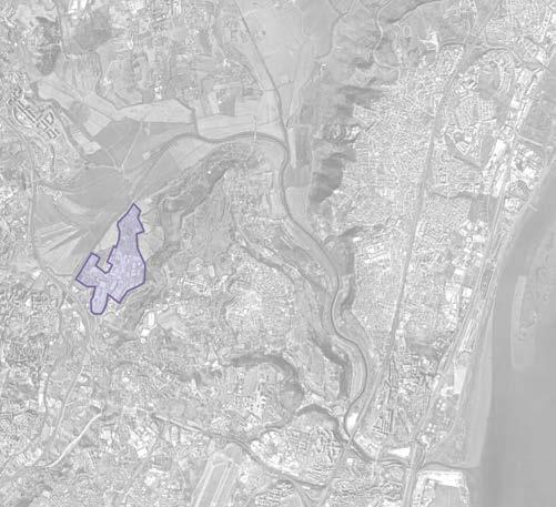
Another objective is to upgrade the cohesion of the village and the relation with its surroundings through interventions that are thoroughly intertwined with the interventions concerning water retention. Firstly, the water retention streets in between the industrial sites are extended into blue-green corridors that connect the industrial area to the residential zone and that form a core around which new urban developments can sprout. Secondly, the terraced landscape inside the posttreatment 'water factory' is designed as a public park with sports fields, forested areas and paths for biking and hiking that connect Frielas to the soft mobility network of the floodplain. Finally, a bypass pulls away fast traffic from Frielas' main axis, which instead becomes a spine of public spaces, which consist of a pedestrian boulevard and a sequence of pocket parks and squares. In the north, the spine ends at an archeological site of a Roman villa in a public space which also features a dock at the furthest point where tidal water from the Tagus is projected to come. The village at the back of an industrial area has now become the village at the estuary.
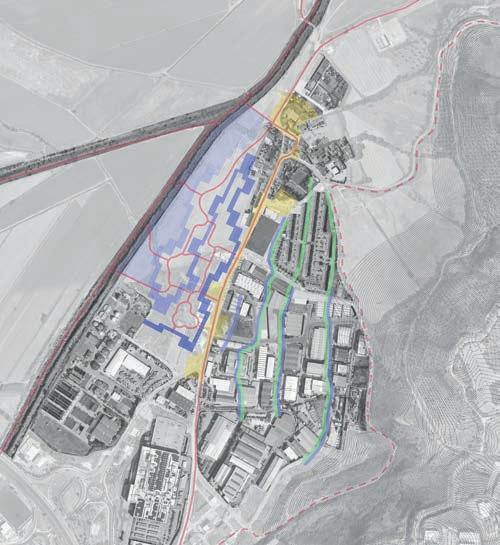
155
© Google Earth (manipulated)
© Google Earth (manipulated)
Section AA'
Section BB'
Slab type A
Slab type B Patio house
Studio 1-bedroom 2-bedrooms 3-bedrooms 4-bedrooms 5-bedrooms 6-bedrooms
156
While the constructed wetlands give a new front to the nuclear village, the new settlement inserts itself in the existing logistic area implanted on Frielas’ southern hillside. The urban tissue proposal seeks to counterbalance the expansion of urban sprawl. It structures itself around a new blue and green network.
The existing large roads used today by lorry traffic are replaced partially with swales. During episodes of heavy rains, they facilitate ground infiltration and can serve as water ponds for buffering and purifying water coming from uphill.
The new housing buildings follow the green-blue veins and run parallelly to the slope. Their position provides east-west oriented dwellings. The
floorplan’s principle functions with dual-aspect typologies that favor cross ventilation. Generous semi-outdoor spaces like winter gardens or loggias provide shadow in addition to the more exposed balconies. The ground floor dwellings profit from a garden placed on the back side opposed to the street. Considering the slope and the slabs' gradient heights, the dwellings on the last upper floors will benefit from a view of the floodplain. Perpendicularly positioned, a series of patio houses sporadically placed offer 3 to 4-room typologies. Their ground floor is relatively closed off from the street but benefits from a private outdoor space and a terrace on the first floor looking into the floodplain.
The new settlement orients towards Trancão’s alluvial plain and establish it
157
B’ A’ A B
Section 2
Section 1 — Modification of topography to retain water from upstream flash floods coupled with tree planting excercise to create new microclimates that requalify the urban tissue. Public space activities around the water retention sites differ in different seasons.
Section 2 — Opening up of the historic roman villa and requalifying its area and surrounding as a public space which is at the new waterfront.
158
Section
1
Section 1 — Reprofiling of the urban spine, integrating it with the new urban tissue and requalifying it as a new public space at the waterfront of Frielas where the proposed water purification constructed landscape begins.
Section 2 — Soft mobility networks through new profiles of existing mobility routes and across the proposed dam with bridge. Introduction of an urban platform/dock for use by the public/leisure boat users.
159
Section 1 — Modification of topography to create a spiralled 35 step water purification landcape with small vegetation which help with the deconcentra tion of the nutrient rich treated water from the waste treatment plant. The last step drops to an expanded water retention area where it meets with the water from the river (one dyke is broken to give more space fro water). Dry areas between the water loop are designed into sports fields and lawns for use by the public.
Section 2 — A 4m high dam is created to hold 1m of water for agricultural use, after which the water overflows more downstream. The area before the dam will always have water because it receives continuos flow from the waste tretment plant (0.8 cubic metres per second). The dam seperates the sweet water upstream from the salty tidal movement coming from downstream.
160 Section 2
Section 1
Section 1 — Left dyke is broken to create a bigger water landscapeon the left. Farmers will pump sweet water from the new water retention site to the ag ricultural fields where a system of irrigation canals and ditches is retained.
Section 2 — The dykes are requalified to accommodate soft mobility that overlooks the protected floodplain. These soft mobility networks facilitate urban cohesion within the landscape (from the hills of Frielas to the Floodplains) through the integration and connection of all existing and proposed public spaces between them.
161
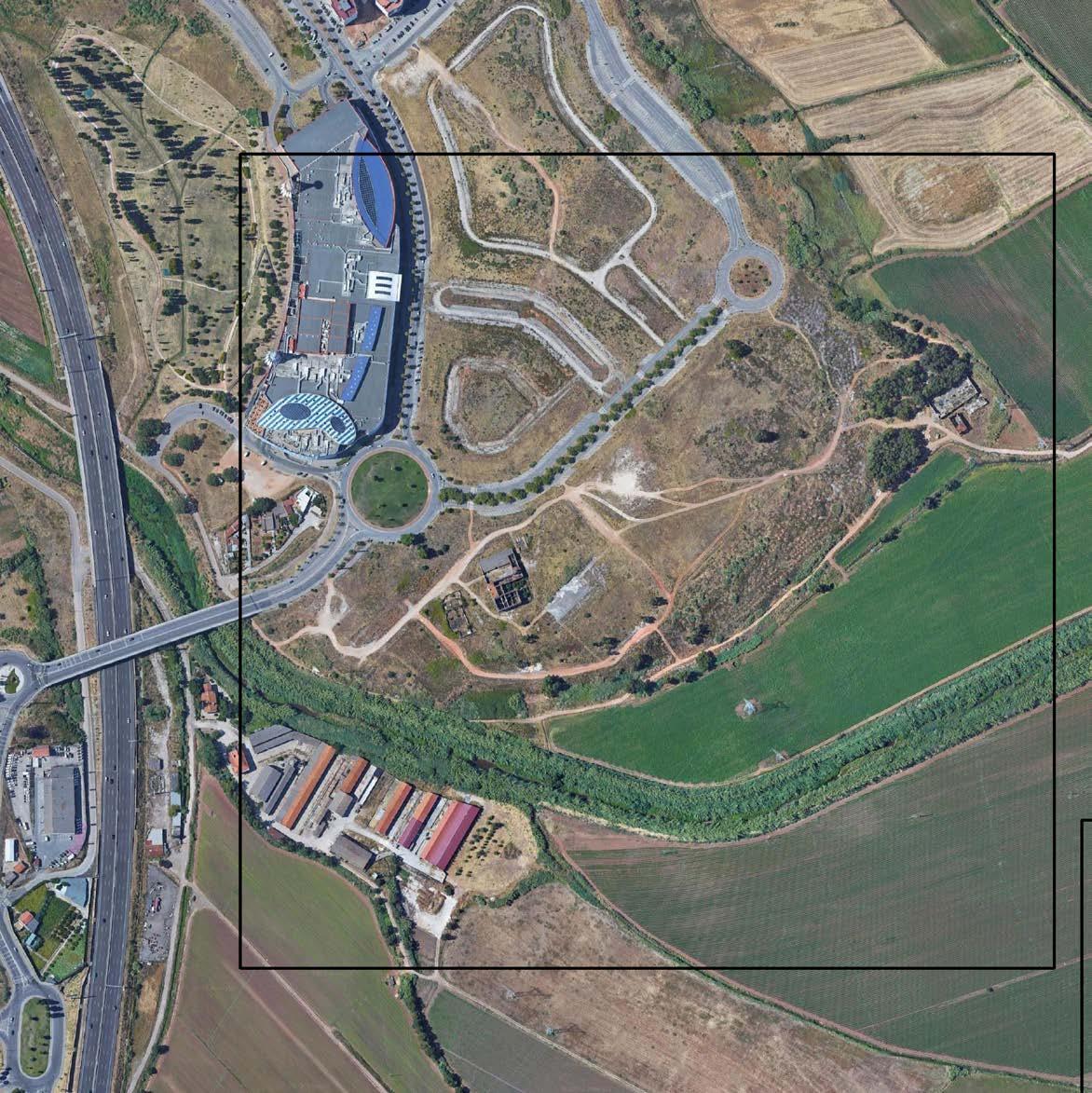
STRATEGIC PROJECT
Case 5 - Infantado
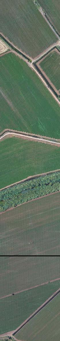
163 ANAGHA PANDIT MICHELLE VALLADARES KSHITIJ MAKHIJA
03.05
Green and blue
Existing Situation
Infantado is a neighborhood that has experienced recent growth. There are several towers of apartments in construction, several housing developments, and a shop ping mall. The neighborhood is growing along the A8 highway, into the floodplain. The large agricultural fields extend all across the site, however, they are disconnect ed from the rest of the site because of spatial barriers, such as the slopes and the dykes that are built along the Loures river.
The presence of the Loures River, even though it is a predominant geographical feature that flows across the plains of Infantado, goes unnoticed because it is hid den behind the dykes that were built out of the vegetation to mitigate the flooding. Even if water is one of the protagonists of the story at the site, because of its role in irrigation and drainage, it only interacts within the productive landscape, without any contact with the rest of the site. The dykes in this system help protect Infantado from flooding, but at the same time, they isolate the river and do not represent the best way to treat the water and humidity in the land in the best ecological way. The overall landscape at Infantado is a fragmented one. Throughout the site, there are various scenarios with different characteristics that do not relate to each other, and that are disconnected from the site itself. Each of these scenarios, from the 'more built' part - next to the shopping mall- to the agricultural fields that are determined by the water, through the vacant plots destined for housing development and the abandoned Quintas, compose the neighborhood of Infantado. Currently, the site feels more like a compilation of dif ferent features without a cohesive element in common, even if they have the Loures River that crosses the site.
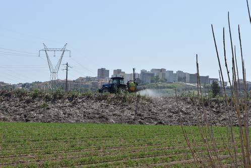
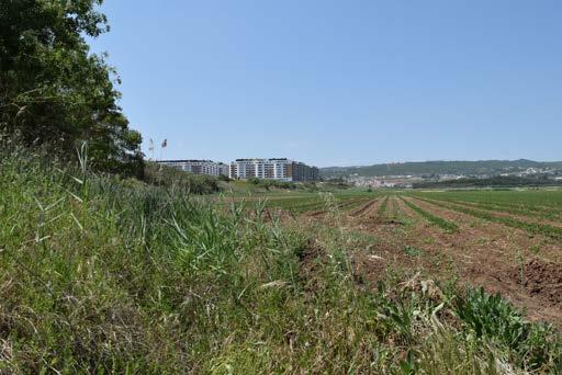
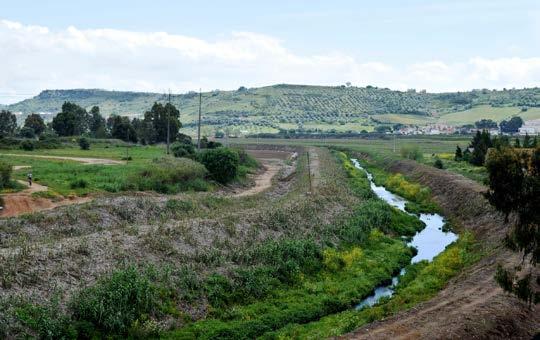
Green and Blue System Analysis
164
The Loures River and the fragmented landscape
Fragmented Landscape in Infantado, 2022.
Agriculture activities and the dyke, 2022.
The Loures River and the former river branch, 2022.
© Valladares, M.
© Valladares, M.
© Valladares, M.
Michelle Valladares
The green component at Infantado is primarily composed of a productive land scape. Parcels of crops extend through the floodplain. While in the slopes, two abandoned Quintas- large farming states- can be found, and on the plateau, the high-rise apartment complexes appear.
In the slopes, where Quintas are found, is common to find grids of olive, citrus, or fig trees. Water in this neighborhood has only a productive role, without any relation to the inhabitants of the site.
The Loures River in this site was straightened to make the most profit out of it, changing its original meandering direction to serve purposes that are more pro ductive for the agriculture at the site. The historical course of the river still has its trace on the site, representing an opportunity for exploration.
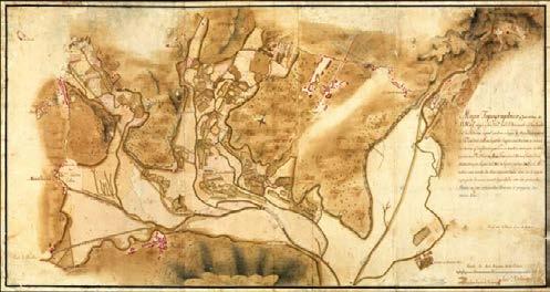
Concrete Protagonists
The highway, the roads, and the shopping mall are predominant in the site. Even though the space designed for the car is predominant, Infantado is still disconnect ed from the rest of Loures if people rely on public transportation.
In the Infantado neighborhood, there is a vacant plot for a housing development that residents currently use for recreational activities, and that has no specific treatment for the public space or water. Inside it, there are abandoned plots and Quintas that represent opportunities for combining the need for densification in Infantado with the natural and productive landscape.
Scale of the dyke, 2022.
165
Historical Loures River in the Floodplain, 2022.
Abandoned quintas and their surroundings, 2022.
© Valladares, M.
© Valladares, M.
©Historical Registry of the Municipality of Infantado
Small scale production
Even though Infantado has large-scale production for agriculture, on the site there were also one-store houses with small-scaled urban orchards. In the public space in the Infantado Neighborhood, there is also a group of small-scaled orchards joined together for community use and enjoyment.
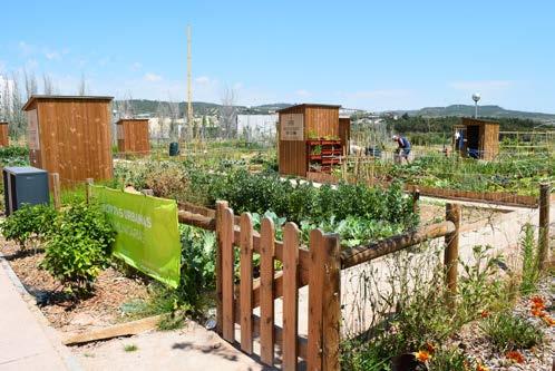
Redefining edges
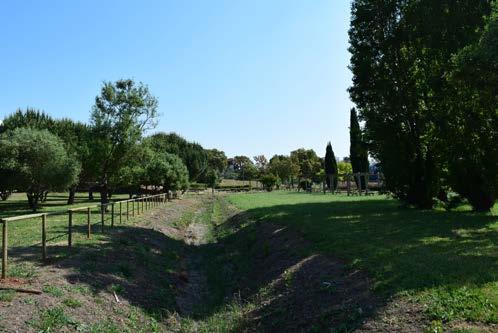
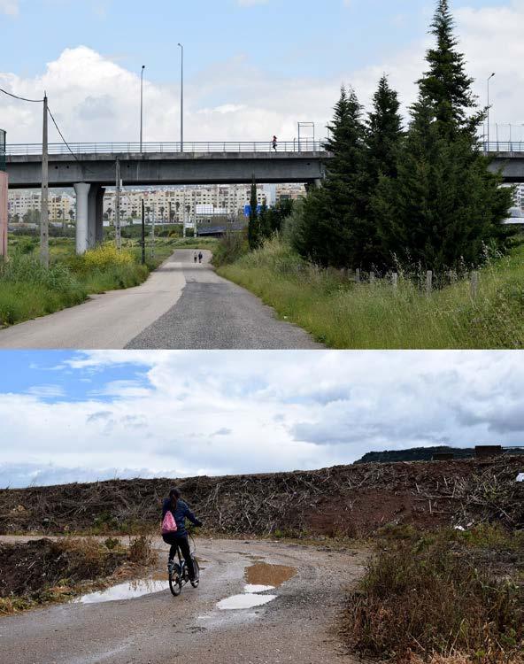
There are no trails specially designed for recreation or sports around these produc tive landscapes, nonetheless, people were spotted running, jogging, and cycling alongside them and the highway. The edges of the Loures River can be redefined in a way in which they can cater to the necessities of people.
After the critical analysis, some questions that can be explored regarding the blue and green system come up, and also that can attempt to be solved by research through design appear: If water has only been treated and interpreted for a pro ductive role, in which ways can it change its relationship with the site under a more diverse role? In which ways can the system be rethought in a way in which the community and the landscape come together?
166
Community gardens in Infantado, 2022.
Recreational activities in the floodplain, 2022.
New Public Space around former river branch, 2022. © Valladares M.
167
Mobility
Kshitij Makhija
Infantado is effectively an extension of the municipality of Loures, however it is presently fragmented due to infrastructure and a lack of communication with the surrounding neighbourhoods. The site lacks character and its relationship to the river due to fragments of features that are not connected. Infantado neighbour hood in Lisbon appears to be an outgrowth of the Loures. Loures is a smaller mu nicipality in Lisbon, but it has public services such as sports centres, hospitals, cultural sites, recreational areas, hospitals, and a retail mall, among other things. Infantado is a growing neighborhood that relies on the services of Loures city cen tre to provide for its residents.
However, area's disordered transportation network is one of the key causes for its isolation. Infantado is a neighbourhood that has seen recent expansion and has a lot of room for additional development. There is a lack of connectedness to neigh bouring towns, as well as walkability in terms of recreational and public spaces along the urban tissue.
There are a range of scenarios with different features across the site that are unre lated to one another and disconnected from the site itself, despite the fact that the Loures River passes through it with multiple routes running parallel to it. Several trails that run along to the Loures river and pass through hidden farm areas. These paths link the Loures to other neighborhoods such as Frielas and Sao Juliao do Tojal. These kind of paths might be developed and updated to serve as a softmo bility alternative to travel in between various neighbouhoods, which will help in reducing the usage of private automobiles. (Figure - 1)
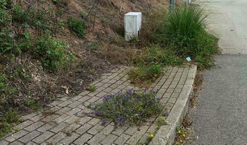

Infantado's general scenery is a jumbled mess. The area is expanding towards the floodplain beside the A8 highway. Bike tracks have been constructed in Loures and the adjacent region of the Loures Shopping Complex, however they are rarely used as evidenced. The vast majority of people rely on their cars to get about. To enhance the usage of softmobility paths, the water in agricultural fields might be modified and utilised to build some leisure spaces along them. Throughout the site, there are a variety of scenarios with distinct features that are unrelated to one an other and unrelated to the site itself. The area is mainly dominated by the highway, roads, and a retail mall.
Green and Blue System Analysis
168
Existing bike paths in Loures, 2022.
Pedestrians that leads nowhere, 2022.
Pathway in floodplain, 2022.
© Kshitij Makhija
 © Kshitij Makhija
Infantado is still cut off from the rest of Loures if residents rely on public transit. Thereare no trails specially designed for recreation or sports around these productive landscapes, nonetheless, people were spotted running, jogging, and cycling alongside them and the highway. The edges of the Loures River can be redefined in a way in which they can cater to the necessities of people. Grids of several types of trees may often be seen on the hills where Quintas can be located. Qintas are historically significant cultural locations that have been abandoned in this terrain and can be used for recreational purposes. Creating pedestrian move ment and soft connectivity as a means of linking the site's separate neighbour hoods and other areas.
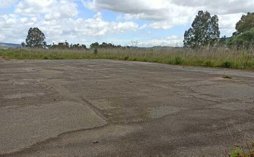
The dykes that were seen in this system assist preserve Infantado from floods, but they also isolate the river and do not represent the most natural approach to manage water in the soil. There were some water streams with no running water and others with moving water. Water in agricultural fields might be manipulated and used to develop certain leisure zones alongside soft mobility paths to increase their use. Infantado's green component has been mostly made up of an agricultural landscape. Crop patches are spread across the floodplain. In the future, when the water level in the floodplain rises and floods become more regular as a result of climate change, recreation in the floodplain might take the shape by providing some elevated pathways which could go inside the floodplain and be used for bik ing, walking, and for other various activities. Various paths might be built between the new urban tissue to give only soft mobility while also limiting the number of automobiles on such paths.
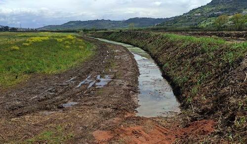
Also, by integrating the light rail system (which is already envisioned on the site) with other tiny paths of softer mobility, access to neighbouring neighbourhoods and new urbanisation may be provided. The urban centres might become better connected to each other and to Lisbon by conceptualising rapid mobility, public transportation, and soft mobility as layers of a cohesive network in the floodplain and neighbouring towns.
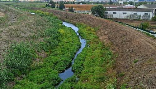
170
Dykes adjacent to water trenches, 2022.
Dykes adjacent to water trenches, 2022.
Concrete patch present along the floodplain, 2022.
© Kshitij Makhija
171
Urban Cohesion
Anagha Pandit
Existing Situation
Infantado, an extension of the Loures Municipality, is located in the Trancao floodplain. Looking at the site on a larger scale, the topography defines the different types of landscape: mostly urban settlements have developed on the plateaus, wild vegetation and natural forests are encountered on the slopes, and the valley is mainly a productive landscape, crossed by the Loures River. It caters to the larger density of public that need to stay close to the city of Lisbon but is an unaffordable choice. Thus, making Infantado just an in-between of the city and the rural at the same time having disconnections with both these areas.
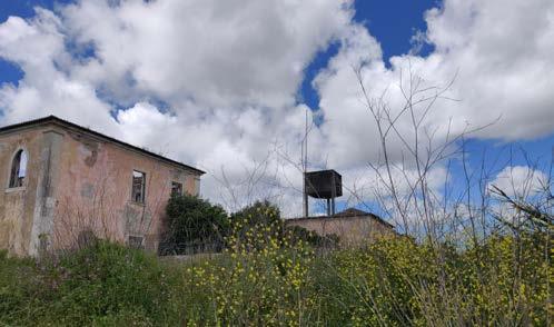
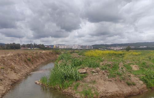
Loures is a smaller municipality to that of Lisbon but also caters to the aspects of public amenities such as sports centers, cultural spaces, recreational spaces, municipal offices, hospitals, etc. Infantado is a developing township but relies on the facilities provided by Loures city center for catering to its people. Though Infantado and Loures are close to one another and can be interdependent for services and facilities, the accessibility between the two is not easy and thus makes it important for the two to have amenities and facilities to cater to the public and to create means of mobility between the two for easy access.
Observations made in Infantado suggest the lack of public areas leading the residents of the urban developments to use the roads and the leftover land for recreation and activities like walks, jogging, cycling, etc. These abandoned spaces and lands that are in disputes or still in need of approval can be utilized for recreational purposes and for connections from the plateau to the valley and the river.
Green and Blue System Analysis
172
Fragmented Landscape in Infantado, 2022.
Abandoned Quinta's that are now a part of the Landscape, 2022.
The Loures River and the drainage canals, 2022.
© Pandit, A.
Isolated Elements on Site
The current housing developments lack a connection with the site and thus look over urbanized in order to cater to the growing demand. It is focused on urbanizing without taking into consideration the need to cater to the context and the floodplain that form a large part of the site. Most of these settlements overlook the valley but have fewer means to connect with it.
The recently developed parks by the MetroPublicNet are starting points to create this connection to the valley. The site lies in between these parks and thus offers an opportunity to link the public spaces and create systems that run along the edge of Infantado. Systems of greens and blues, walkability and of urban tissue that responds to the lines of agriculture while also trying to respect the existing lines and structures that form its near context.
The site also holds multiple abandoned Quinta’s and brown fields that not only give an opportunity for urbanizing but also to create a deeper connection with the sense of history that exists on the site for the people living in Infantado. It also provides opportunities for recreation and adaptive reuse of these structures into functional elements on the site.
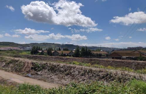
The large dykes along the river forbid a visual connection and also a physical connection to the river. This almost makes us neglect the fact that the river is a connecting element between the entire site and its neighborhoods. Thus, creating spaces that connect the urban to the abandoned patches and eventually to the river would be an important part of the design.
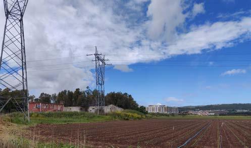
173
Isolated Elements i.e. Urban Tissue,Qinta's and the Agricultural
Lack of connections between the Plateau and the Valley, 2022.
Agricultural estates and dykes that reduce visual access, 2022.
Potential for Proposal
The site provides possibilities for reusing these abandoned Quinta’s as part of the recreational spaces. Linking the newer urban tissue to the existing forested edges and encouraging and afforesting orchards along the edges of the peninsula of Infantado. Creating a link between the existing MetroPublicNet projects of parks along with recreational walkways and trails through the floodplain encouraging people to walk closer to the river. Thus, attempting a physical and visual connection between the elements on site. Looking at ways to reduce the dykes and encourage the water to be a part of the site and its usage for community gardens and as retention basins as seen in one of the projects of the MPN.
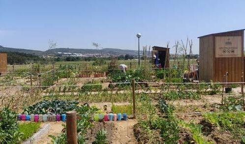
The site also has the potential to provide higher density of housing in relation to affordability and thus reducing the overall built up. It gives an opportunity to provide mixed housing and amenities that cater to the tissue. It also could create walkability within the urban fabric and links between existing urban developments and the newer proposals.
174
Community gardens in Infantado, 2022.
Plateau with urban tissue and the agricultural fields in the flood
©
New Public Space around former river branch by MNP, 2022.
Pandit, A.
175
Infantado in the Trancão Floodplain
Infantado in the Floodplain
Territorial Reading of the Floodplain
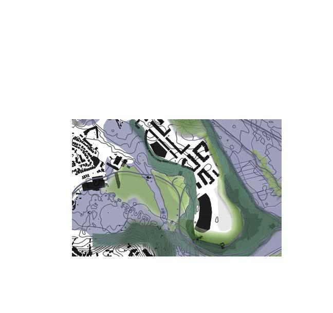
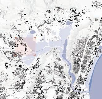
Forest Public Spaces Water
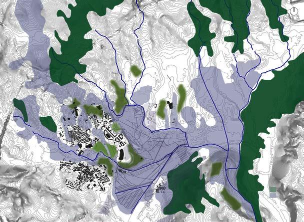
176
Forest Public Spaces Water
Revitalizing the plateau-valley relation along the Trancão floodplain
Anagha Pandit Michelle Valladares Kshitij Makhija
Summary :
Infantado, an extension of the Loures Municipality, is located in the Trancao floodplain. Looking at the site on a larger scale, the topography defines the different types of landscape: mostly urban settlements have developed on the plateaus, wild vegetation and natural forests are encountered on the slopes, and the valley is mainly a productive landscape, crossed by the Loures River.
The site at Infantado is a cluster of isolated elements that lack character and connection to their context. On one hand, there are the massive recent housing developments, the A8 highway and the Loures Shopping mall along with infrastructural additions for connections to neighborhoods. On the other hand, there are the extensive farm lands along the floodplain, patches of forests surrounding the abandoned Quinta’s - large farming states and two public spaces that are part of the Metro Public Net's Blue-Green network.
The only element that runs through the whole site and can be used as an opportunity to stitch the disconnected elements together is the Loures River, which has currently disappeared behind tall dykes that both protect the productive landscape from a flood and at the same time isolate the river from the rest. Looking at it from a territorial scale, Infantado is a Peninsula with an incomplete water system and a forest system running through its edges.
Under this rationale, all proposals that we make for this site require a systemic approach that is cohesive with other established networks. The urban tissue that we propose thus responds to the lines of agriculture while also trying to respect the existing lines and structures that form its near context.
The main idea of our project is to bring all the existing elements together as well as the urban fabric, which would not remain on the fringes of the system, but become a part of it. For this, we aim to revitalize the historic river which is currently a drainage canal and open up the dykes at strategic places to give the water more surface, allowing it to be stored in catchments/retention ponds for droughts
and providing the river a space to flood during the wet seasons. Thus, creating a wetland system but also protecting the existing productive landscape of the Trancao Floodplains. Our proposal for structuring the water system includes using the grey water from the urban fabric, stormwater from the roads and highways and the creation of retention ponds as a part of the new urban development that would help revive this connection between the systems and the people residing in Infantado.
The addition of the forested edges along with orchards also becomes a part of this new recreational space that links the existing public space projects and forms a walkable link along the edge of the peninsula that overlooks the wetlands and the productive valley. The abandoned Quintas hence can be reused and adapted as a part of the recreational spaces in an attempt to bring together the history of the site with its current needs.
Consequently, the design addresses the need to bring together these elements of blue-green links, walkability and urban cohesion as a part of a larger system that exists along the floodplain, creating human interaction and connections with the river.
177
New Proposal for Infantado’s green and blue system
Considering the topography of the site, the opening up of the former river branch, terraces, and existing urban tissue there were several design explorations to intertwine tissue and landscape.
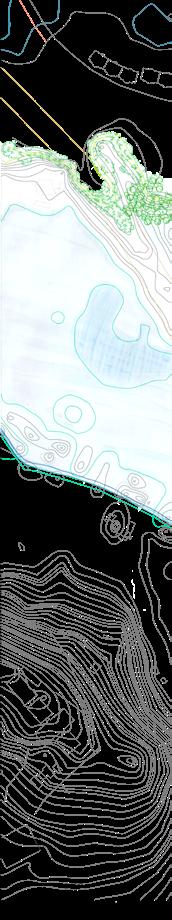

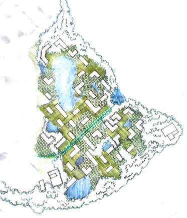
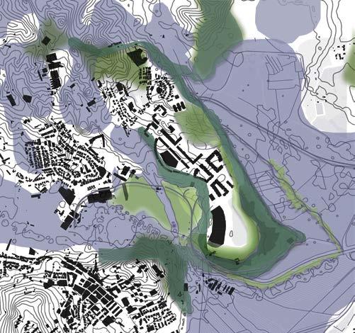
178
Infantado's New Urban Layout 0 200m
Intertwine between the urban - productive- and water landscapes
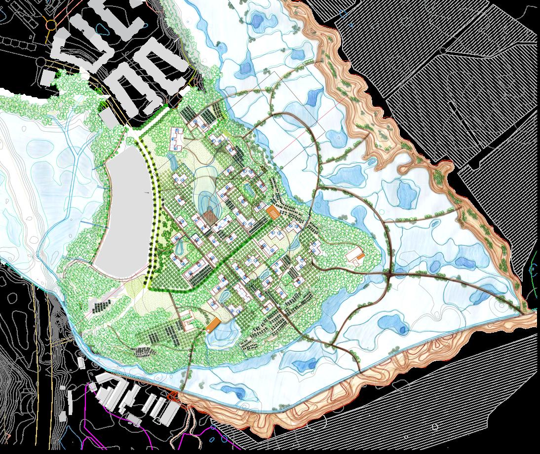
179
Design Explorations for Housing cluster plan and its relation to the floodplain and dykes
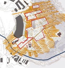
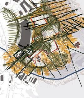
180
Infantado 0 30m
Urban Tissue Sample Settlements in the plateau, vegetation in the slopes, terraces with community gardens and wetland landscape
181
Existing Water System
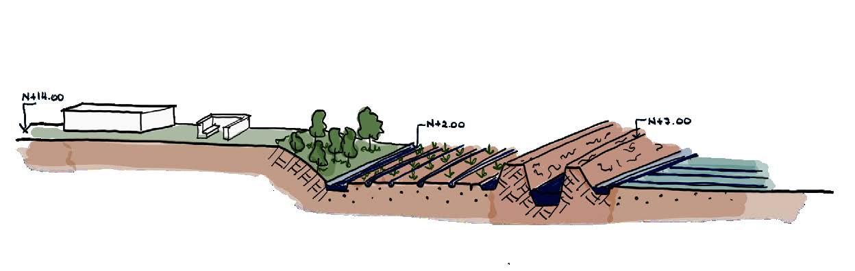
There is no water system currently, there is a clear separation between spaces with and without water.
Retention Basins Community Gardens, Orchards, Forest Opening Up Former River Branch
Proposed Water System
Wetlands
The proposed water system includes the recollection of runoff and gray water from the buildings in the plateau, that goes through the community gardens and orchards, continuing through the terraces in the slope and the forest until it reaches the former river branch. By opening this 'ghost' river and making strategic interventions in the dykes, the surface for water expands in wetlands and marshlands.
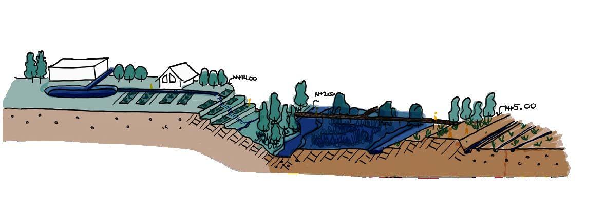
182
Loures Mall Abandoned Quinta Drainage & Irrigation Former River Branch
Rotational Crops
Loures River - Dyke
Dyke as a public space Protected Productive Landscape
Dry scenario
Flood scenario
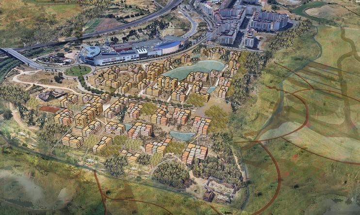
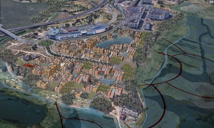
183
Productive
Revitalizing cultural heritage - Quintas- as recreational areas
Public spaces that enhance connections between the floodplain and urban fabric
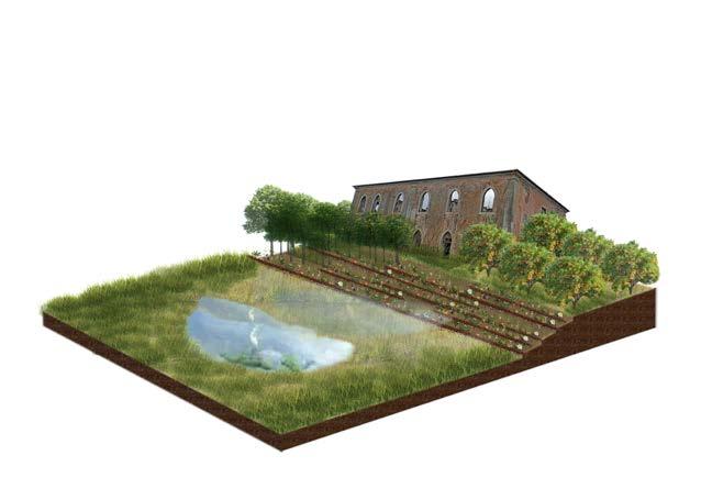
System of trails and decks in the wetland landscape
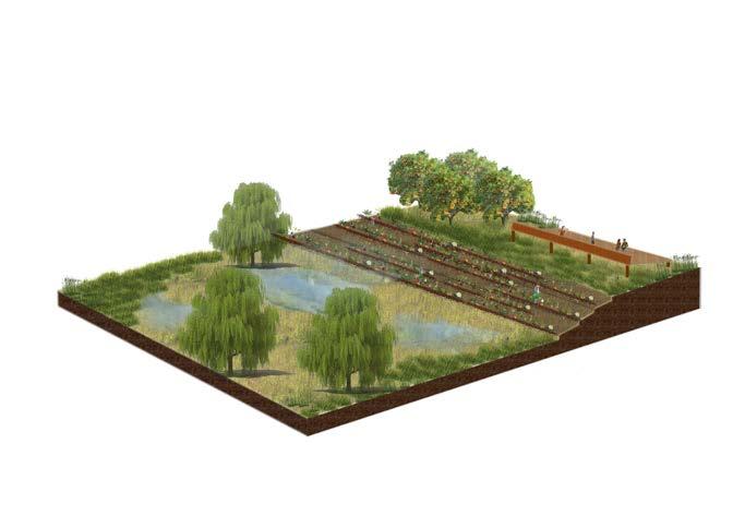
Public Spaces within different landscapes
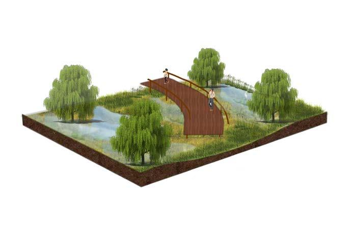
184
Trancao Riverbed Existing settlements
Pedestrian walk connecting the green network
Hard mobility and light rail Recreational public spaces and Urban Tissue Deck, cafeteria and water retention basin
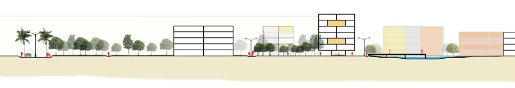
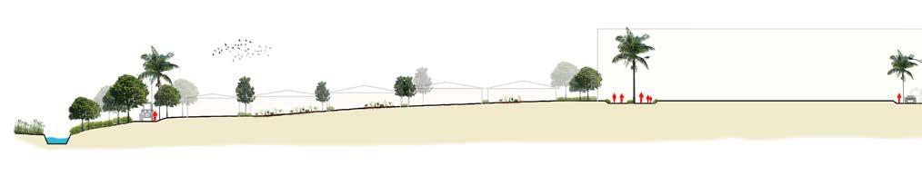
Urban Tissue Orchards and cluster park Pathways along the edge Terraced community gardens
Forest
Elevated pathway in the wetlands
Urban Sections of the project escale 1:2000
185
Types of Units
Different Typologies and Modules of the Urban Tissue
The proposed urban tissue is in the form of multiple clusters that branch out from an existing spine on the site. The clusters thus consist of various modules put together with mixed affordable units that provide for larger density of housing along with recreational and public functions. The clusters also have a retention basin or ponds that can be used to collect the grey and storm water from the tissue as well as teh roads and then be directed with bioswales onto the terraced community gardens and the historical river. Thus, contributing to the water systems that exist and creating a relation of the plateau with the floodplains.
186
Calculations and different Clusters of Housing Tissue
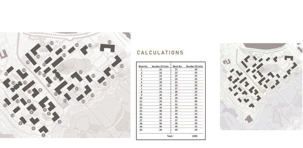

187
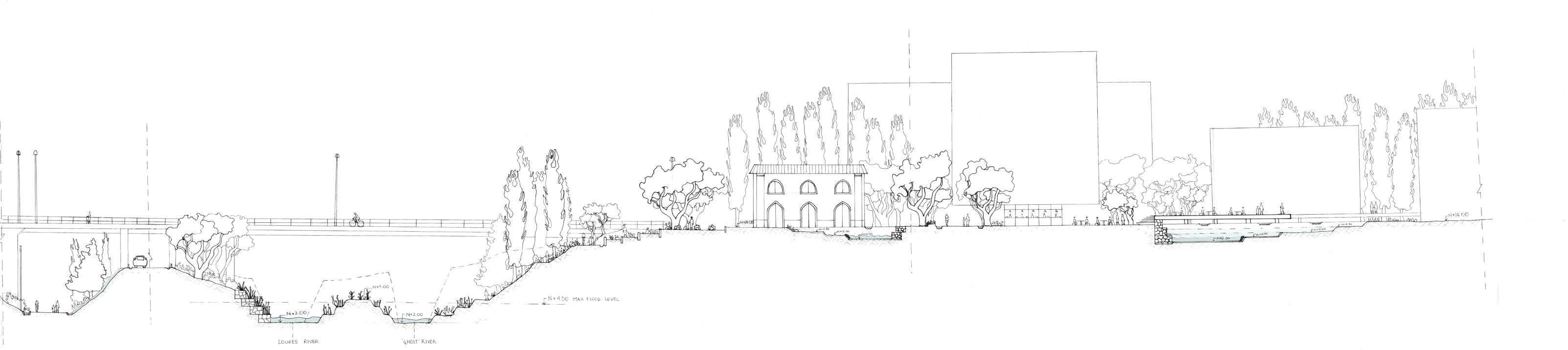
188
A8 road existing gabion walls 8m 0
current dyke
orchards
recuperated Quinta
existing mall community gardens soft mobility pathways f orestfigureintheslopes retention basins
Infantado's new blue, green, and urban configuration
The project proposes new links between the water system: from capturing the gray and storm off water to the recuperated for mer river branch, going through the bioswales in the plateau and slopes; the green system: including the forest figure, orchards, and community gardens, and the urban tissue.
189
patches of forest
proposed housing existing mall 8m 0
proposed housing or
bioswales along path retention basins retention basins
Recuperating heritage at the Quintas
housing + public spaces along the
Quintas- large farming states- are part of the region's identity. In the project, they are recuperated to be activators of public spaces, being the scenario for activities that allow residents to get involved in the history of the site, including urban agriculture through com munity gardens.
190
proposed housing patches of elevated and on-the-ground pathways retention basins existing forest on the
or
The urban tissue in the plateau is connected through a green sys tem of orchards, community gardens, and patches of forest, that connect to existing forests in the slopes. Soft mobility pathways, sometimes elevated, connect housing with public amenities and open spaces.
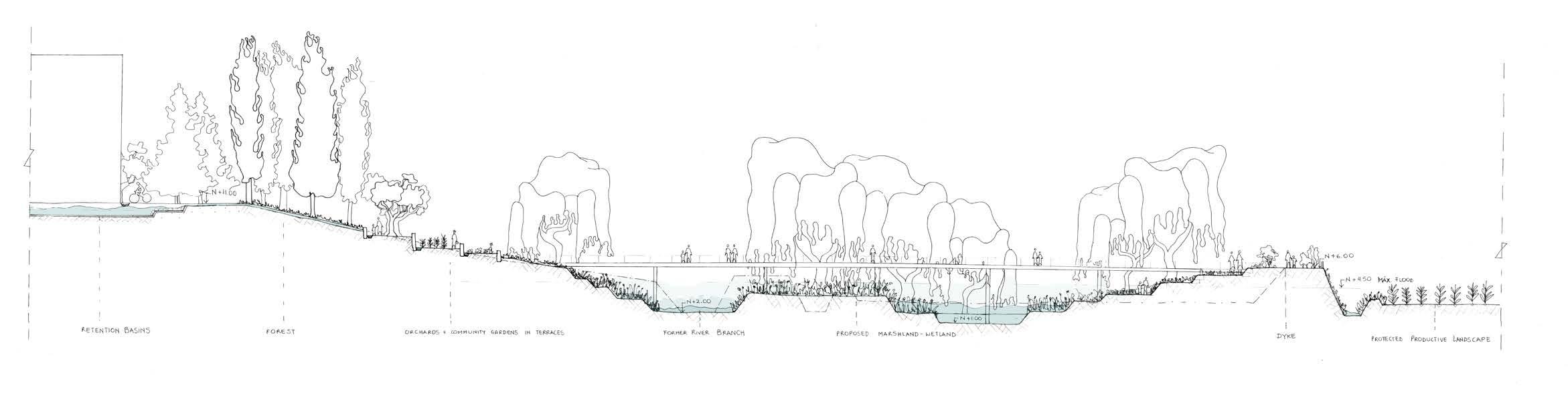
191
forests in slopes 8m 0
community gardens in terraces current dykes
From productive landscape to wetland
By opening up the former river branch, and making strategic in terventions in the existing dyke system, the space for the water is expanded, allowing to create of a wetland landscape and keep a water reserve through the different seasons.
192
current dykes
Protected productive landscape + new public space
The wetland landscape becomes a public space that can allow recreational activities, connecting the community and nature. The dyke is rethought as a public space with different platforms and levels, but always keeping its function of protecting the productive landscape, the hallmark of the floodplain.
193
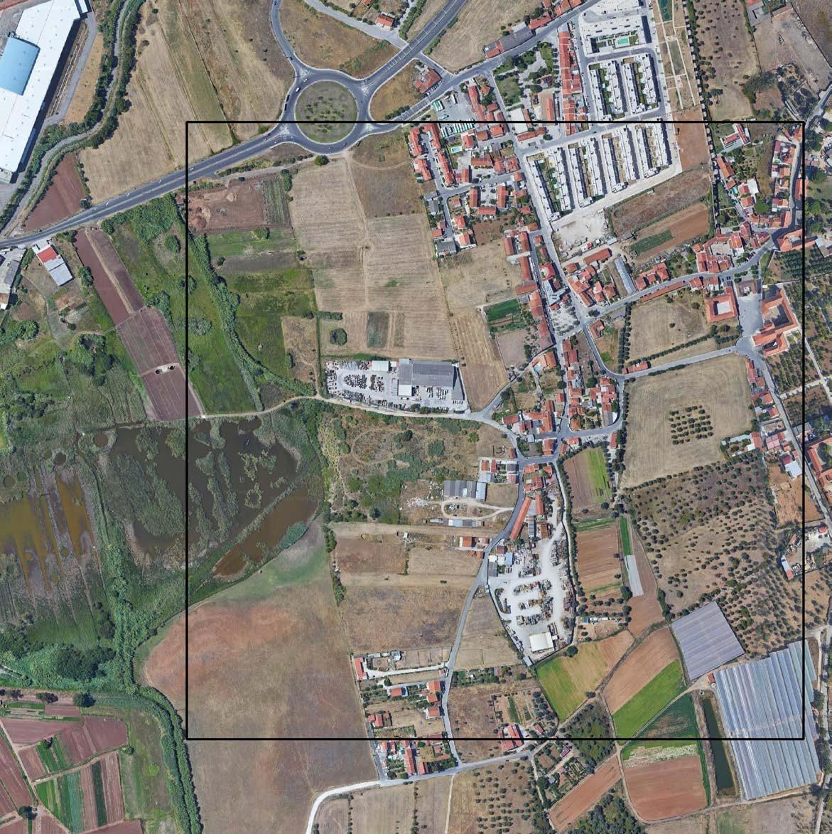
STRATEGIC PROJECT
Case 6 - Sto. Antão do
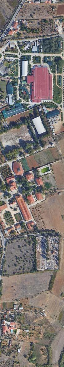
Tojal
195
MALLARI TAKI TAHMID SAURAV YASMINE BAAMAL
AJ
03.06
Blue and green
Yasmine Baamal
Historically, the Trancao functioned as a balanced ecological system in which the flood was considered as part of the natural cycle, that brings rich nutrients to the land, and increases the underground water level. However, this balanced system has been disturbed with the implementation of the dyke system. Indeed, in order to acquire more productive lands for agricultural production, engineers have re shaped the water flow, protecting the lands from flooding by building high dikes that redirect the water to the river of Tagus. By putting the economic interests in the forefront, the current system resulted in many consequences in the ecosystem: the act of releasing the excess of water during the flood period doesn't allow the underground and the groundwater levels to reload, causing tough drought epi sodes every year. Besides, the dykes have affected the biodiversity of the region and doesn't give much opportunity to expand the ecological value of the site. It is undeniable that in the current context of high urbanization, the necessity of ensur ing food security implies maintaining a large agriculture production. However, the system as it is currently is not sustainable, and in regards to the increasing episodes of drought and floods because of global warming, it has become clear how urgent it is to redefine a balance between the productive landscape and the natural green and blue systems.
In this sense, Santao Antão do Tojal presents an interesting case study to experi ment a new green and blue system that reestablishes a sustainable balance between nature and production. Indeed, its strategic location, in the transition between the floodplain and the steep slopes of the mountains, raises question about the imple mentation of a new water system, that retains water within the valley, rather than expelling it to the river. The already existing wetland Paul das Caniceiras is an ex ample of the potentials of this system, since it is a naturally existing wetland, that represents a remarkable ecosystem in our site, with the presence of rare species of fish and the bird diversity that it offers. However, it is today threatened because of the increasing needs of water in agriculture. The lake is now vulnerable since the agricultural activities in the floodplain demand water supply that might not be covered during rainy seasons, which consequently affect the level of ground water and might lead to the use of underground water, and consequently the decrease of water from the lake. Strengthening the wetland can be part of a bigger scale strategy of retaining water in the site by redesigning the dyke system in a way that gives space for water to be stored. The identification of depression areas in
the topography would be in that sense an interesting approach to locate potential retention basins, that would hold the excess of water, raise the level of ground and underground water, and consequently prevents drought.
The case study has lot of qualities in regards to the natural landscape. The orchards structure the landscape, and bring a particular atmosphere and beauty to the site, varying from the scale of small areas in the backyards of houses, to large agricul tural areas, where they become a real determining figure of the landscape. This figure can be further strengthened by the design, made accessible through different slow mobility paths, and also inhabited. Besides, the agricultural fields create a real patchwork in the site that composes with the built tissue, but that remains hardly readable because of the inaccessibility with the fences and high walls that limit the potential to bring the community together. While trying to keep the agricultural character of the site, it is important to strategically choose the urbanisable area and the typology of buildings to implement, so that the balance between productive landscape and density is achieved, while offering a good quality of life to the inhab itants. In that perspective, solutions of urban agriculture can be experimented to bridge between rural and urban lifestyles, productive landscapes can be mobilized as part of large-scale park system and be embedded in the culture and perception of the inhabitants and visitors.
Through the lenses of the green and blue theme, the major challenge in Santo Antão do Tojal relies on establishing a new water system that is more resilient to climate change and threats of drought and floods, while at the same time respond ing to the agricultural production needs.
196
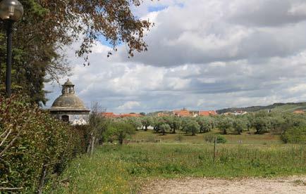
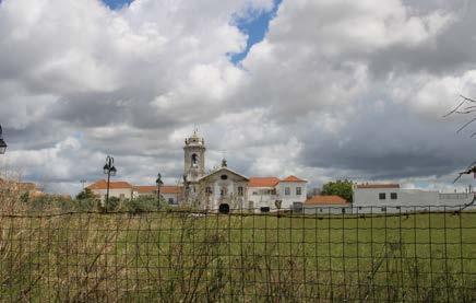
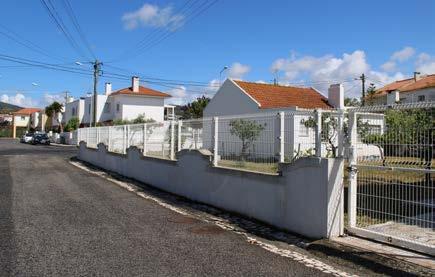
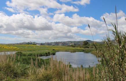
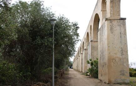
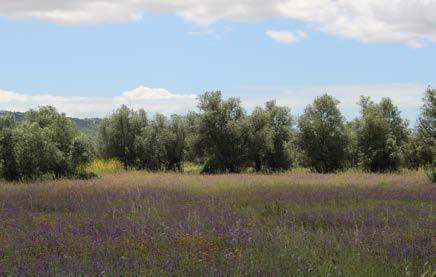
197
Strong agriculture presence, 2022
Cultural landscape,2022 Agriculture in backyards, 2022
© Yasmine Baamal
© Yasmine Baamal
© Yasmine Baamal
© Yasmine Baamal
© Yasmine Baamal
© Yasmine Baamal
Paul das Caniceiras, 2022
Figure of orchards and figure of aqueduc, 2022 Natural landscape, 20022
Mobility
Taki Tahmid Saurav
Being in the northern part of the floodplain, Santo Antao do Tojal as a settlement is relatively higher within the valley and exempted from the flood zone. The mor phological growth relied on two driving factors, i) Agricultural and ii) Archbishop's’ historical developments (Palacio Dos Arcebisops). Most habitation was based on supporting agricultural productions, while the recent development of new housing settlement is a superimposed typology within the area.
Public Transportation & Infrastructure:
In terms of mobility and accessibility, the primary access point for this neighborhood is from the northern road R. 25 De Abril | R. Santo Antao, which is a two lane wide road with one bus stop point for this specific neighborhood. The public transportation service for this region is provided by Rodoviaria De Lisboa, running five different routes from and to Campo Gande, Lisbon (northern peripheral point for the central hub of Lisbon city) towards different loca tions like Alverca, Bucelas, Zambujal. Every bus crosses through Sao Antao do Tojal via Loures. Buses from Bucelas to Campo grande have a thirty minutes interval pickups from Tojal for the entire day, while other routes have specific time schedules depending on the necessities of passengers. During weekdays, a bus can be found in every ten minutes to commune to Campo Grande.
A random asphalt square, 2022
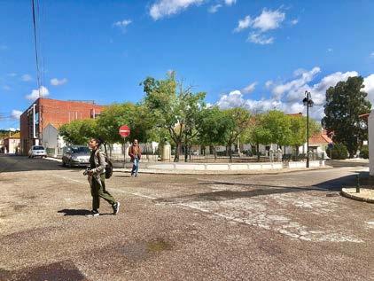
Intermediate Scale of Mobility Network:
The furthest locality from the bus stop is within eight hundred meters which makes it easier to travel. For the majority of the settlement, the car ownership is very few, although asphalt roads have been laid out to the doorstep of very house. Yet the roads are mostly vehicular oriented rather than soft mobility and hardly anyone can be seen commuting by bikes. From a topo graphical perspective, the Tojal area is mostly flat and the adjacent areas to it are not drastically different in terms of elevation, even through the floodplain. Most likely people residing in this area are based on agricultural production within this region and others communes by their private vehicles and public transportation for their daily needs. Considering the topography and resident’s movement behavior, the introduction of soft mobility could be a possibility to reduce the regular vehicular use, but there seemed to be none taken.
Only bus stop at the northern of Santo Antao do Tojal, 2022
The transitional transportation hubs did not seem to include bike parking other than couple of segregated parking in front of the Loures shopping mall, but barely any bikes can be seen parked or riding in that region. Also to promote biking, couple of streets have integrated bike lanes which successfully could not promote soft mobil ity. On the other hand not only connecting the segregated settlements around the floodplain but also turning the back towards the road and making the floodplain as a front for all these satellite settlements, the improvement and introduction of pathways inside the valley can create a co-habitation possibility between built and unbuilt.
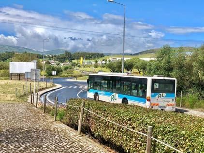
198
© Taki Tahmid
© Taki Tahmid
Industrial and Production Accessibility:
There are two construction material production and warehouses within the settlement, putting aside the question of industrial amenities being in the residential and agricultural neighborhood, these functions require convenient vehicular access along with the agricul tural products and raw materials transportation. But again the question can be raised of the mobility organization focusing on heavy industrial services rather than sustainable living en vironment.
Transitional Shifting Towards Floodplain:
The entire habitation is surrounded by agricultural lands in three side, while most of the cases the access points and routes are not established and merely visible and accessible. Only one road directly drives through the floodplain towards Frielas from the archbishop's palace, which even from the starting point of the agricultural lands belongs to the farmers and mostly used for agricultural purposes. Another dirt road directs towards Loures from the middle of this agricultural road. But there is no emphasis on integrating the urban inhabitation towards or through the floodplain.
Metro Public Net Intervention:
In terms of historical values of the archbishop's palace and the Casa Sao Francisco de Asis, the access orientation is on based on them rath er more neglected. The mobility, even the intervention of metro public net have not embraced the aqua duct, the palace and the historical en tities. The intervention from metro public net has focused on creating an urban park that supposedly orients the new housings, keeping the aqua duct as a back through the lenses of co-habitation and accessi bility.
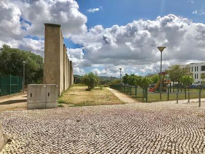
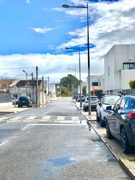
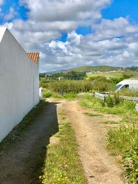
The municipality office and the public spaces are embedded on the northern part of the settlement close to the main road, yet keeping the fish-farming lake and the agricultural lands, the floodplain as a back of it, which implied the mobility direction towards the main street.
Scopes of Changing Dynamics:
From the demographic perspective, the inhabitants of Santo Antao do Tojal are mostly older generation and heavily relied on public transportation and also taking the topographic undulation into consideration, the soft mobility intervention might focus mainly on the recreational domain through the entire floodplain rather func tional commuting. The public transportation network system of Lisbon generating the multi-transitional pattern consumes excessive amount of travelling time, which drives the commuters to use their personal vehicles. More direct and strategical nodes and routes could be a driving factor to shift the daily movement pattern towards sustainable transportation system.
199
© Taki Tahmid
© Taki Tahmid
Public space requalification project (MetroPublicNet), 2022
Car parking on the street | Pathway towards floodplane, 2022
FieldworkCritique
Urban Cohesion
FieldworkCritique
AJ Mallari
FieldworkCritique
CulturalMarkers
CulturalMarkers
ThelandmarksdottingSantoAntâodoTojaliscomprisedofagroupofheritagestructureswhichincludetheAqueduto,Palacioda Mitra(Archbishop’sPalace),ChafarizdosArcos(waterfountain)andtheAssisicomplex.Theyrenderthesiteacharacteristicidentitythat simultaneouslyalterandfortifyitinconjunctionwithitspositioninthevalleyasatransitionalspace,wherethefloodplainsslowlyrise uptoformtheslopesoftheLouresValley.
ThelandmarksdottingSantoAntâodoTojaliscomprisedofagroupofheritagestructureswhichincludetheAqueduto,Palacioda Mitra(Archbishop’sPalace),ChafarizdosArcos(waterfountain)andtheAssisicomplex.Theyrenderthesiteacharacteristicidentitythat simultaneouslyalterandfortifyitinconjunctionwithitspositioninthevalleyasatransitionalspace,wherethefloodplainsslowlyrise uptoformtheslopesoftheLouresValley.
CulturalMarkers
ThelandmarksdottingSantoAntâodoTojaliscomprisedofagroupofheritagestructureswhichincludetheAqueduto,Palacioda Mitra(Archbishop’sPalace),ChafarizdosArcos(waterfountain)andtheAssisicomplex.Theyrenderthesiteacharacteristicidentitythat simultaneouslyalterandfortifyitinconjunctionwithitspositioninthevalleyasatransitionalspace,wherethefloodplainsslowlyrise uptoformtheslopesoftheLouresValley.
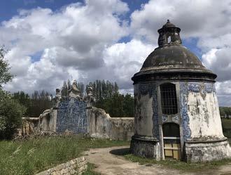
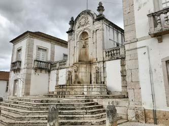
Figure1:FromL-RaretheheritagesitescomposedmainlyoftheAqueduto,PalacioFonte,andtheAssisicomplex.
Anotheruniqueaspectofthesiteisthelakelocatedonitseasternflankherebreedsalocalfishspecie,the BogadeLisboa, afreshwater fishnativetoPortugalandnowonlyfoundin4areasinthecountryincludingthissiteinLoures(Caniceiras,2016).Itisunclearwhether thelakeanditsadjoiningareasarecoveredwithprotectionstatus.Atthemomenthowever,thelandarounditisparcelledintofarms andfencedofffromthepublic.Ironically,themostaccessiblevisualofthewaterbodyisfromtheN115highway.
Anotheruniqueaspectofthesiteisthelakelocatedonitseasternflankherebreedsalocalfishspecie,the BogadeLisboa, afreshwater fishnativetoPortugalandnowonlyfoundin4areasinthecountryincludingthissiteinLoures(Caniceiras,2016).Itisunclearwhether thelakeanditsadjoiningareasarecoveredwithprotectionstatus.Atthemomenthowever,thelandarounditisparcelledintofarms andfencedofffromthepublic.Ironically,themostaccessiblevisualofthewaterbodyisfromtheN115highway.
Anotheruniqueaspectofthesiteisthelakelocatedonitseasternflankherebreedsalocalfishspecie,the BogadeLisboa, afreshwater fishnativetoPortugalandnowonlyfoundin4areasinthecountryincludingthissiteinLoures(Caniceiras,2016).Itisunclearwhether thelakeanditsadjoiningareasarecoveredwithprotectionstatus.Atthemomenthowever,thelandarounditisparcelledintofarms andfencedofffromthepublic.Ironically,themostaccessiblevisualofthewaterbodyisfromtheN115highway.
NewandOldTissue
Sketchshowinghousingtypologyplacementsandheritagewalkroute.
Sketchshowinghousingtypologyplacementsandheritagewalkroute.
Sketchshowinghousingtypologyplacementsandheritagewalkroute.
NewandOldTissue
Acrossthelakeandbeyondtheholdingdykestotheeast,followingthegradualriseintopographytheinfrastructuretissuedensifies.Twoindustrialsitesbuiltontopofformerfarmlandsarbitrarily marktheshiftfromagreennetworktothecurrenturbandevelopmentcomprisingofseveralhousingtypologies,heritagesites,and newinfrastructureinvestmentssetintheremainsofearlierdevelopment.Thefragmentationinthetissueparticularlythosewhich highlightthefissurefromtheearliersettlementwhichfolloweda typicalmedievalorderwitharadialmorphologicalgrowthisclearly discernibleinthewaynewertissueswereoriented,withtheirbacks onthewaterandfacingthehighwaysandmobilitynetworks.
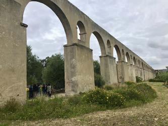
Acrossthelakeandbeyondtheholdingdykestotheeast,followfies.Twoindustrialsitesbuiltontopofformerfarmlandsarbitrarily marktheshiftfromagreennetworktothecurrenturbandevelopmentcomprisingofseveralhousingtypologies,heritagesites,and newinfrastructureinvestmentssetintheremainsofearlierdevelopment.Thefragmentationinthetissueparticularlythosewhich highlightthefissurefromtheearliersettlementwhichfolloweda typicalmedievalorderwitharadialmorphologicalgrowthisclearly onthewaterandfacingthehighwaysandmobilitynetworks.
NewandOldTissue
Acrossthelakeandbeyondtheholdingdykestotheeast,followingthegradualriseintopographytheinfrastructuretissuedensifies.Twoindustrialsitesbuiltontopofformerfarmlandsarbitrarily marktheshiftfromagreennetworktothecurrenturbandevelopmentcomprisingofseveralhousingtypologies,heritagesites,and newinfrastructureinvestmentssetintheremainsofearlierdevelopment.Thefragmentationinthetissueparticularlythosewhich highlightthefissurefromtheearliersettlementwhichfolloweda typicalmedievalorderwitharadialmorphologicalgrowthisclearly discernibleinthewaynewertissueswereoriented,withtheirbacks onthewaterandfacingthehighwaysandmobilitynetworks.
200 22
©AJMallari ©AJMallari
22
©AJMallari ©AJMallari
Figure1:FromL-RaretheheritagesitescomposedmainlyoftheAqueduto,PalacioFonte,andtheAssisicomplex.
22
©AJMallari ©AJMallari
Figure1:FromL-RaretheheritagesitescomposedmainlyoftheAqueduto,PalacioFonte,andtheAssisicomplex.
Habitation
Habitation
Habitation
Thehousingtypologiescanbedistinctlydividedinto4differentgenera.Type1(first photoontherightpanel)aresingledetached1-2storyunitswhich,fromanocularscan formtheolderhabitations.Type2areduplexandrowhouseswhichcanbemajorlyfound alongthethoroughfaresformingblocksaslongas8-10unitsinasinglelines.Type3are 3-storyapartmentblockswithsinglefamilydwellingsoneachfloor,thistypeoccupythe territorialfringessittingbetweenresidentialandagriculturaltissues.Thelasttypearethe newhousingdevelopmentclusteredaroundthemainhighwayservicingthesite(Abrilde 25)andbetweenthesouthernflankofthe Aqueduto andtheMetroPublicNetparkthus occupyingaprimelocationsupportedbyadjacentcommercialactivities.
Thehousingtypologiescanbedistinctlydividedinto4differentgenera.Type1(first photoontherightpanel)aresingledetached1-2storyunitswhich,fromanocularscan formtheolderhabitations.Type2areduplexandrowhouseswhichcanbemajorlyfound alongthethoroughfaresformingblocksaslongas8-10unitsinasinglelines.Type3are 3-storyapartmentblockswithsinglefamilydwellingsoneachfloor,thistypeoccupythe territorialfringessittingbetweenresidentialandagriculturaltissues.Thelasttypearethe newhousingdevelopmentclusteredaroundthemainhighwayservicingthesite(Abrilde 25)andbetweenthesouthernflankofthe Aqueduto andtheMetroPublicNetparkthus occupyingaprimelocationsupportedbyadjacentcommercialactivities.
Thehousingtypologiescanbedistinctlydividedinto4differentgenera.Type1(first photoontherightpanel)aresingledetached1-2storyunitswhich,fromanocularscan 3-storyapartmentblockswithsinglefamilydwellingsoneachfloor,thistypeoccupythe territorialfringessittingbetweenresidentialandagriculturaltissues.Thelasttypearethe newhousingdevelopmentclusteredaroundthemainhighwayservicingthesite(Abrilde 25)andbetweenthesouthernflankofthe Aqueduto andtheMetroPublicNetparkthus occupyingaprimelocationsupportedbyadjacentcommercialactivities.
Habitation
Thehousingtypologiescanbedistinctlydividedinto4differentgenera.Type1(first photoontherightpanel)aresingledetached1-2storyunitswhich,fromanocularscan formtheolderhabitations.Type2areduplexandrowhouseswhichcanbemajorlyfound alongthethoroughfaresformingblocksaslongas8-10unitsinasinglelines.Type3are 3-storyapartmentblockswithsinglefamilydwellingsoneachfloor,thistypeoccupythe territorialfringessittingbetweenresidentialandagriculturaltissues.Thelasttypearethe newhousingdevelopmentclusteredaroundthemainhighwayservicingthesite(Abrilde 25)andbetweenthesouthernflankofthe Aqueduto andtheMetroPublicNetparkthus occupyingaprimelocationsupportedbyadjacentcommercialactivities.
Apartfrom Abrilde25 whichcutsthroughthecityandfunctionallycleavingtheterritory intotwo(unequalparts),minorroadsintothecitycanservicelighttoheavyvehicles.The primarynetworksespeciallycatertotrucksthatsupportthelogisticalneedsoftheagriculturalindustrieswhichdominatethecommercialactivitiesonthesite.Busesfromdifferent partsofthecityusethecentralbusstopsbesidethepublicpark.Therearefrequentbus serviceswithwaittimeslastingnolongerthan15minuteswhichlinkSantoAntãodoTojal
Apartfrom Abrilde25 whichcutsthroughthecityandfunctionallycleavingtheterritory intotwo(unequalparts),minorroadsintothecitycanservicelighttoheavyvehicles.The primarynetworksespeciallycatertotrucksthatsupportthelogisticalneedsoftheagriculturalindustrieswhichdominatethecommercialactivitiesonthesite.Busesfromdifferent partsofthecityusethecentralbusstopsbesidethepublicpark.Therearefrequentbus serviceswithwaittimeslastingnolongerthan15minuteswhichlinkSantoAntãodoTojal totheneighbouringmunicipalities.Theapparentlylackofcommerce,includinggrocery storesandotherservicesbecomeobviousasyouseethelocalscommutetonearbyInfantadoforshopping.AndunlikeInfantado,therearenocyclingnetworkspresentin SantoAntãodoTojalalthoughbothitssoftrollingtopographyandpotentialforcultural tourismcallforit.Walkingpathscanbefoundinplacesbutarediscontinuous,markedby theabsenceofpedestriandivisionsonthenarrowestpointsoftheroadnetwork.
storesandotherservicesbecomeobviousasyouseethelocalscommutetonearbyInfantadoforshopping.AndunlikeInfantado,therearenocyclingnetworkspresentin
tourismcallforit.Walkingpathscanbefoundinplacesbutarediscontinuous,markedby theabsenceofpedestriandivisionsonthenarrowestpointsoftheroadnetwork.
Apartfrom Abrilde25 whichcutsthroughthecityandfunctionallycleavingtheterritory intotwo(unequalparts),minorroadsintothecitycanservicelighttoheavyvehicles.The primarynetworksespeciallycatertotrucksthatsupportthelogisticalneedsoftheagriculturalindustrieswhichdominatethecommercialactivitiesonthesite.Busesfromdifferent partsofthecityusethecentralbusstopsbesidethepublicpark.Therearefrequentbus serviceswithwaittimeslastingnolongerthan15minuteswhichlinkSantoAntãodoTojal totheneighbouringmunicipalities.Theapparentlylackofcommerce,includinggrocery storesandotherservicesbecomeobviousasyouseethelocalscommutetonearbyInfantadoforshopping.AndunlikeInfantado,therearenocyclingnetworkspresentin SantoAntãodoTojalalthoughbothitssoftrollingtopographyandpotentialforcultural tourismcallforit.Walkingpathscanbefoundinplacesbutarediscontinuous,markedby theabsenceofpedestriandivisionsonthenarrowestpointsoftheroadnetwork.
Thefloodplaintothesouthofthesiteisdividedamongprivatelyownedfarmholdings sharingacommonnetworkofgovernment-maintaineddykes.Thepatchworkoffarms formsthelowestpointsoftheLouresvalley,exemplifyingtheagriculturalidentityofthe territoryaswellasexposingitsmostvulnerablepoint.Connectingthedenserurbantissue andthefloodplainisgovernedbymaintainingtheland’sproductivityaswellasensuring itsreadinessfortheerraticeffectsofclimatechange.Thefloodplainalsoholdthepotentialtoserveasthefoundationforurbancohesion,itbeingasharedheritageandidentity ofthemunicipalitiesofLoures.
Apartfrom Abrilde25 whichcutsthroughthecityandfunctionallycleavingtheterritory intotwo(unequalparts),minorroadsintothecitycanservicelighttoheavyvehicles.The primarynetworksespeciallycatertotrucksthatsupportthelogisticalneedsoftheagriculturalindustrieswhichdominatethecommercialactivitiesonthesite.Busesfromdifferent partsofthecityusethecentralbusstopsbesidethepublicpark.Therearefrequentbus serviceswithwaittimeslastingnolongerthan15minuteswhichlinkSantoAntãodoTojal totheneighbouringmunicipalities.Theapparentlylackofcommerce,includinggrocery storesandotherservicesbecomeobviousasyouseethelocalscommutetonearbyInfantadoforshopping.AndunlikeInfantado,therearenocyclingnetworkspresentin SantoAntãodoTojalalthoughbothitssoftrollingtopographyandpotentialforcultural tourismcallforit.Walkingpathscanbefoundinplacesbutarediscontinuous,markedby theabsenceofpedestriandivisionsonthenarrowestpointsoftheroadnetwork. Thefloodplaintothesouthofthesiteisdividedamongprivatelyownedfarmholdings sharingacommonnetworkofgovernment-maintaineddykes.Thepatchworkoffarms formsthelowestpointsoftheLouresvalley,exemplifyingtheagriculturalidentityofthe territoryaswellasexposingitsmostvulnerablepoint.Connectingthedenserurbantissue andthefloodplainisgovernedbymaintainingtheland’sproductivityaswellasensuring itsreadinessfortheerraticeffectsofclimatechange.Thefloodplainalsoholdthepotentialtoserveasthefoundationforurbancohesion,itbeingasharedheritageandidentity ofthemunicipalitiesofLoures.
Thefloodplaintothesouthofthesiteisdividedamongprivatelyownedfarmholdings formsthelowestpointsoftheLouresvalley,exemplifyingtheagriculturalidentityofthe territoryaswellasexposingitsmostvulnerablepoint.Connectingthedenserurbantissue andthefloodplainisgovernedbymaintainingtheland’sproductivityaswellasensuring itsreadinessfortheerraticeffectsofclimatechange.Thefloodplainalsoholdthepotentialtoserveasthefoundationforurbancohesion,itbeingasharedheritageandidentity ofthemunicipalitiesofLoures.
Thefloodplaintothesouthofthesiteisdividedamongprivatelyownedfarmholdings sharingacommonnetworkofgovernment-maintaineddykes.Thepatchworkoffarms formsthelowestpointsoftheLouresvalley,exemplifyingtheagriculturalidentityofthe territoryaswellasexposingitsmostvulnerablepoint.Connectingthedenserurbantissue andthefloodplainisgovernedbymaintainingtheland’sproductivityaswellasensuring itsreadinessfortheerraticeffectsofclimatechange.Thefloodplainalsoholdthepotentialtoserveasthefoundationforurbancohesion,itbeingasharedheritageandidentity ofthemunicipalitiesofLoures.
References:
References:
https://observador.pt/2016/10/18/boga-de-lisboa-opeixe-mais-raro-descoberto-memais-um-rio/
References: https://observador.pt/2016/10/18/boga-de-lisboa-opeixe-mais-raro-descoberto-memais-um-rio/
References:
https://observador.pt/2016/10/18/boga-de-lisboa-opeixe-mais-raro-descoberto-memais-um-rio/
https://observador.pt/2016/10/18/boga-de-lisboa-opeixe-mais-raro-descoberto-memais-um-rio/
201 23
©AJMallari 23
©AJMallari 23
©AJMallari 23
©AJMallari
Sto. Antão do Tojal
Yasmine Baamal AJ Mallari Taki Tahmid Saurav
The floodplains of Loures valley found full expression in Santo Antão do Tojal. Built on soft rolling topog raphy, the transition from the floodplains to the slopes made for ideal conditions for inhabitation. Remains of its past in the form of aqueducts, fountains, and orchards attest to its longstanding relationship with ex isting watercourses, something that is not easily gleaned from its current urban growth. Starting from the dykes reining the waters in, the general orientation of the city shifted from the floodplains to the highways evidenced by the rows of housing blocks with their backs toward the water. The morphological growth pat tern emerges strongly from the historical town center where the Palace of the Archbishop presides over the collection of architectural ruins noted for their cultural and historical value. From here, the housing typolo gies are clearly demarcated based on their proximity to the historical axis. Overall, the project conditions focused on three interconnected layers: recalibration of water management in public spaces, expansion of mobility systems linking cultural, public, and agricultural spaces, and the introduction of a unifying housing typology.
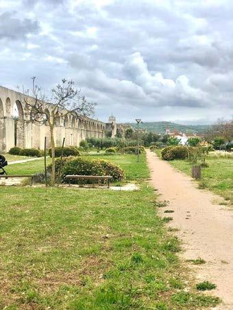
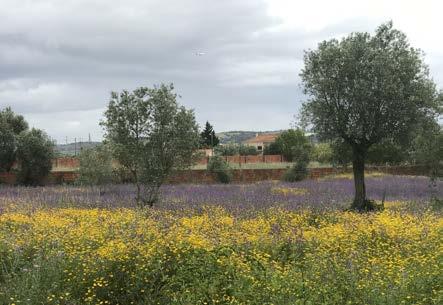
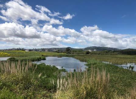
202
Paul das Caniceiras lake
Aqueduto de Santo Antao do Tojal
A remarkable agriculture landscape
© Taki Tahmid
Design Process
The main design strategy in reorienting the urban growth towards the floodplains was achieved by using topographical de pressions as catchment basins for water and embedding soft mobility pathways alongside watercourses as it winds through old and newly renegotiated public spaces. Remodeled experiences centered on the site’s cultural spaces were achieved by link ing it more intimately to a wider network of public parks allowing an interplay of everyday urbanisms to find its fullest expression.
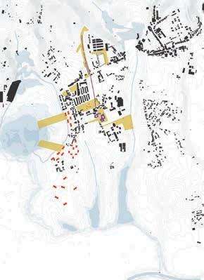
Context of the site in the floodplain
Existing blue and green structure
Strenghtening blue and green structure
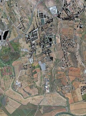
Aerial image
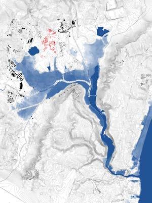
Introducing a soft mobility system
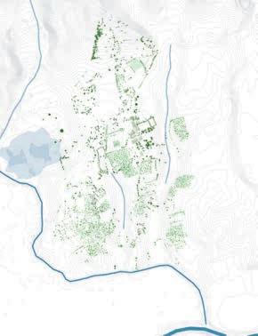
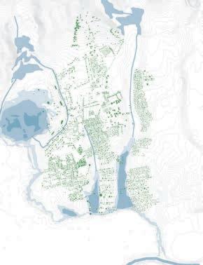
Proposed urban tissue and public spaces
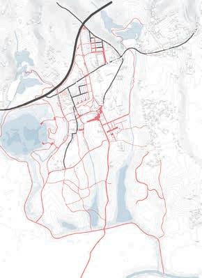
203
204
Structure plan
Miradouro do Aqueduto
Alongside new meanings, older ones have been strengthened. Stitching the productive landscape back to the ur ban tissue sets the stage for overlaps between spaces meant for living and farming, making way for new iterations on the interweaving of parks and agri cultural lands. The proposed housing typology embeds into this strategy strongly too through the provision of rooftop gardens set above 3-4 story housing blocks which are punctured with generous passageways on the ground level and thus liberally open up to the adjacent landscapes.
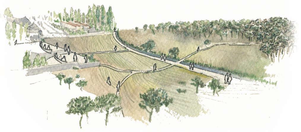
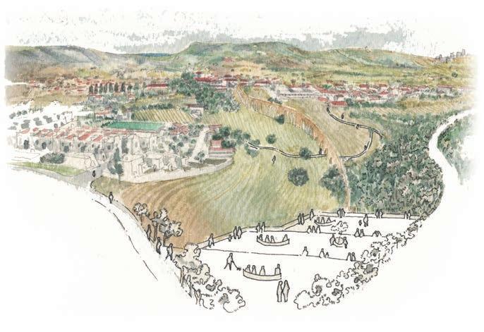
205
View from the S. Francisco de Assis housing complex
Conceptual Section
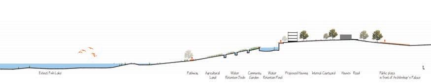
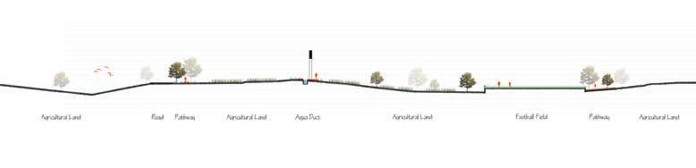
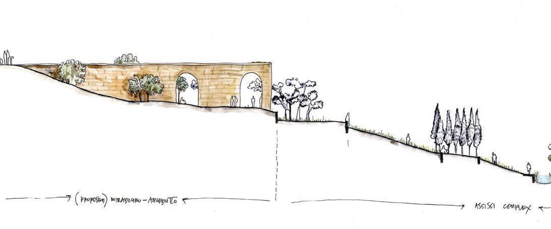
Section AA
Section BB
206
Section DD
Section CC
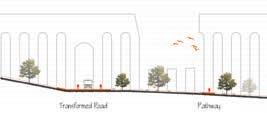
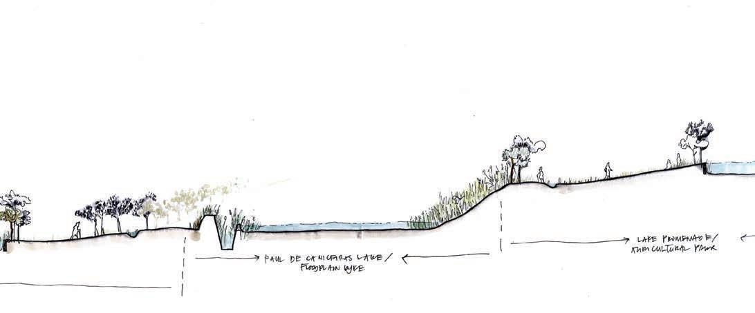
207
Urban design plan
By peeling back the layers of ur ban growth which have now come to typify Santo Antão do Tojal, the project sought to extrude from its history a new system of living that recaptures its position as a favored settlement on the slopes of Loures valley while exhibiting the possibili ties of blurring what is urban, or ru ral, or both.
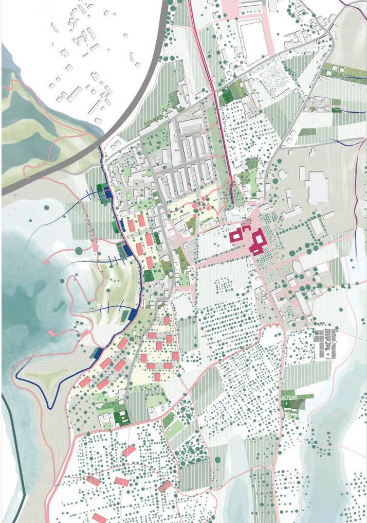
208
Design exploration
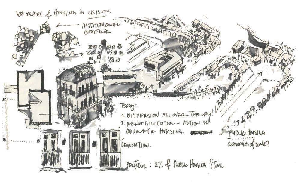
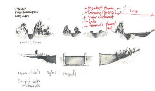
209
Urban tissue plan
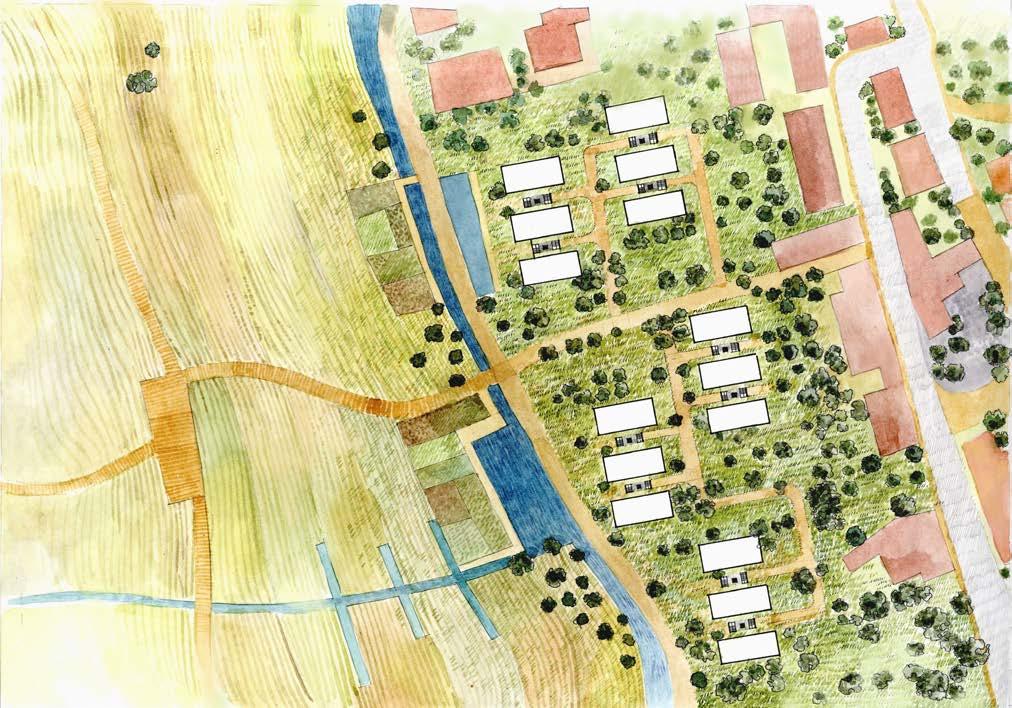
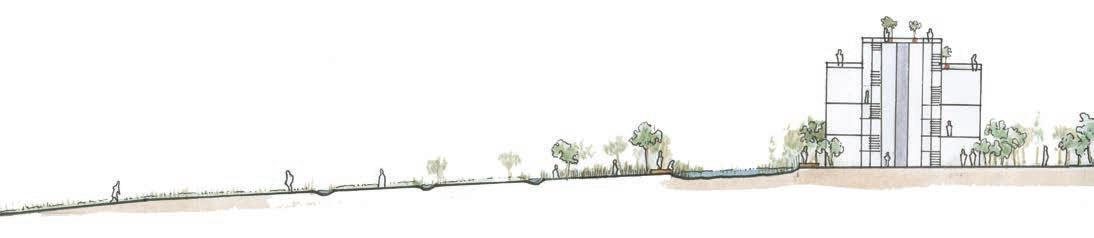
210
Section EE
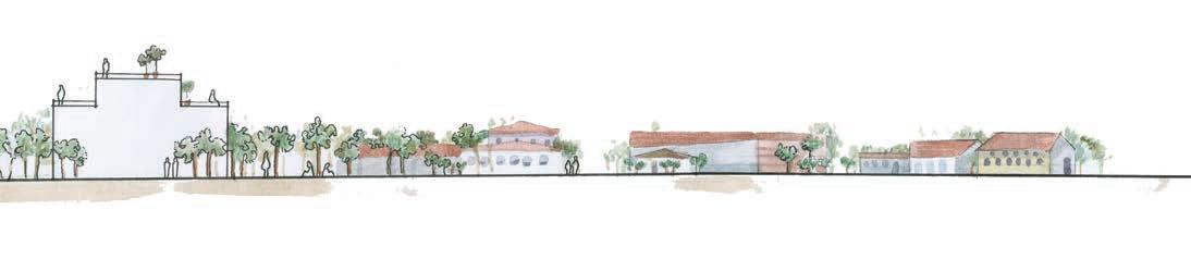
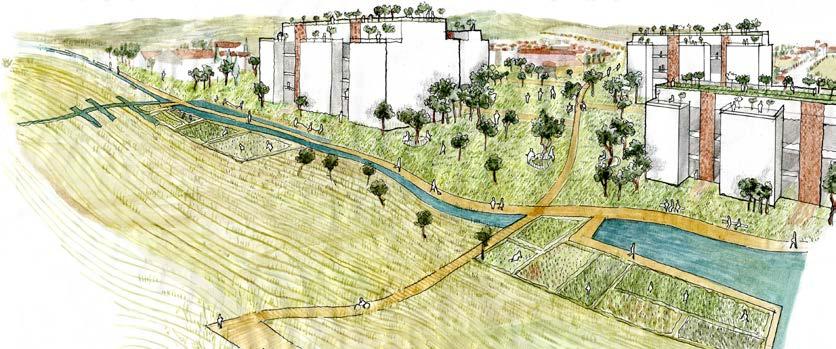
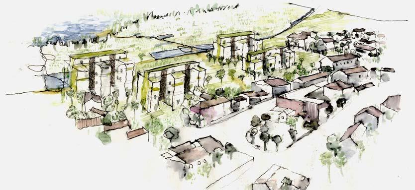
211
Design exploration : Housing typologies
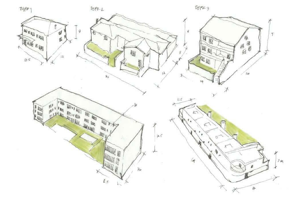
212
Adopted typology
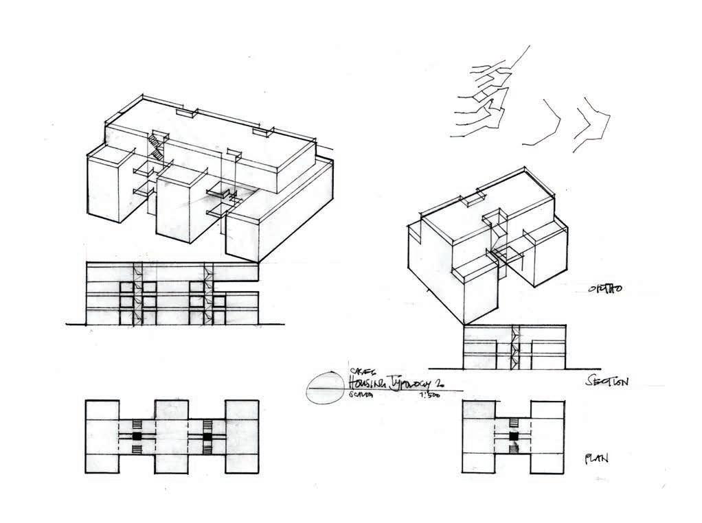
213
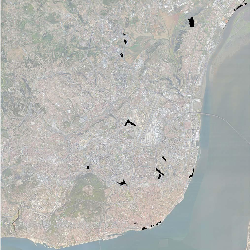
214 01 02 03 04 05 06 07 08 09 10 11 12 13 14 15 16 17 18 19
CASE STUDY ANALYSIS
215 04
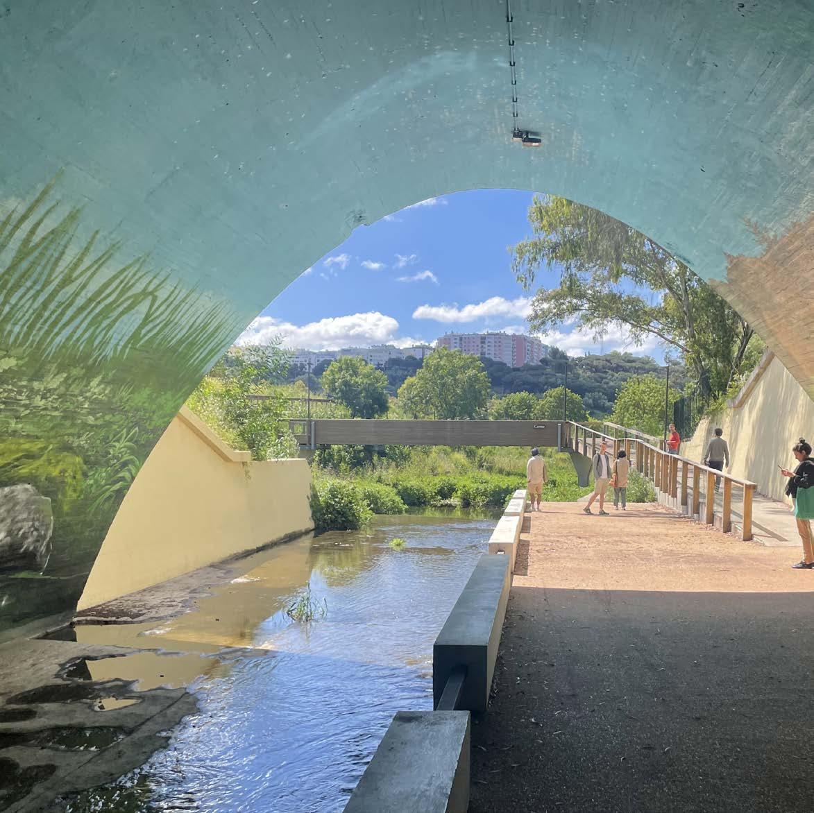
04.01
CASE STUDY ANALYSIS
Eixo Verde e Azul

217
OCÉANE VÉ-RÉVEILLAC ©Oc é ane V é -R é veillac
Eixo Verde e Azul - Senhora da Rocha-Dafundo
The Eixo Verde and Azul (EVA) project stretches along the river Jamor located in Lisbon metropolitan area. It consists of the reap propriation of the river Jamor banks by reclaiming a continuous 100 hectares of green space and making the river banks accessi ble to the public through soft mobility. The first 3.5 km long section of the project of about 4 hectares was executed and opened to the public in 2019 from the river mouth at Cruz Quebrada beach to the Sanctuary of Nossa Senhora da Conceição da Rocha. The project crosses the area of the Jamor National Sports Complex, the Centro Desportivo Nacional do Jamor (CDNJ), inserted into the slopes of the river valley.
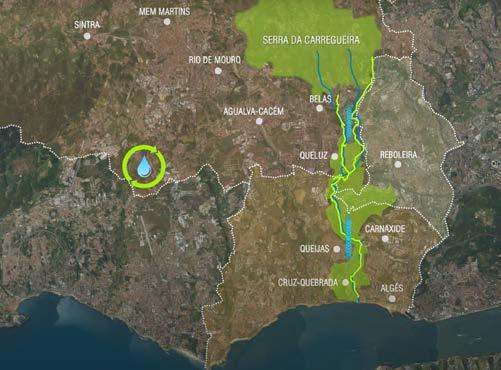
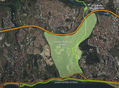
SITE
Lisbon is Europe's mainland westernmost capital city, located be tween the River Tagus and the Atlantic Ocean. Historically an im portant place for commercial trade, the geographical conditions of the Estuary provided a sheltered position for a harbor, and trac es of settlement in Lisbon dates back to the Phoenicians. The first phase of the EVA project is in Oeiras on the northen bank of the Tagus Estuary. Hydrographically, Oeiras is a downstream district since it receives the water from adjacent districts' streams that flow into the estuary. The Jamor River is one of four passing through Oeiras.
CULTURAL LANDSCAPE ALONG THE RIVER JAMOR
The first segment of the realized project starts at the Sanctuary of Nossa Senhora da Conceição. It is a relevant building for the lo cal christian community, and its history links the cultural landscape with the River Jamor. It dates back to May 1822, when a group of children playing at the river bank of the Jamor near Casal da Ro cha found bones and an image of Nossa Senhora da Conceição in a cave while chasing a rabbit. The image traveled in different
218
© Parques de Sintra. Eixo Verde e Azul, 2017. https://www.youtube.com/watch?v=V5V-w7IX6jw.
Biodesign
Oeiras 2019
Analysed section crossing the CDNJ
General plan for EVA, spreading onto different municipalities
churches and finally came back to its original place when in 1893, a Sanctuary was built at the site where the figure was found. Local festivities, as well as a pilgrimage to the Sanctuary of Rocha, have taken place each year in May for more than a century now. Forty years later, further urban development occured that characterizes the Jamor river landscape today. The call for the Jamor Nation al Sports Complex was launched in 1934 under the Estada Novo authoritarian regime. It was part of a larger architectural program aiming at the reconstruction of the nation where sport constitutes a way of emphasizing the body culture to avoid its population to think about political affairs (Frier, 2019). The beautiful surround ings of the Jamor Complex were designed to resemble classical Greece landscape with a careful planting of typical southern Eu rope trees type where previously bare hillsides existed. Another important figure in the design of the Complex is the landscape architect Francisco Caldeira Cabral. Thanks to his criticism of the competition results that were not taking the topography into con sideration, the finally built National Stadium was integrated into the landscape uphill, with its eastern side opening onto the Jamor River valley and quoting ancient Greek theaters. Since then, the Complex allows simultaneously a place for various sports practic es, a recreational park and a place for sports show that can accom modate many thousands of people. It forms an essential green is land in Lisbon metropolitan area where urbanization has spread. Consequently, the Eixo Verde e Azul that crosses the Sports Com plex inserts itself easily.
LANDSCAPE ARCHITECT
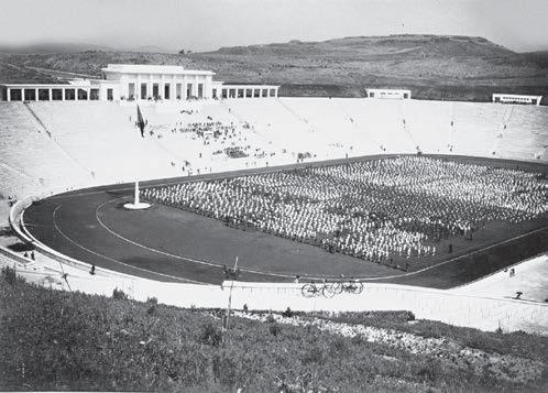
Biodesign is the landscape architecture office appointed to carry out the first phase of the Eixo Verde e Azul project. The office was founded in April 1991 by Jorge Cancela. He taught at the Facul ty of Architecture in Lisbon and served on the presidency of the Portuguese Association of Landscape Architects. He studied land scape architecture in Évora, Portugal, and holds a Ph.D. in Urban ism from the Faculty of Architecture of the University of Lisbon. Besides the Jamor Green and Blue Axis, they have worked on the Queluz green bridge that aimed at enhancing ecological and ur ban connectivity as well as the urban park of Quinta das Montanha where their intervention addressed the valorization of urban eco logical structure.
219
©Oc é ane V é -R é veillac ©https://www.ascender.es/national-stadium-jamor-bench-seat/
The National Stadium is embeded in the landscape of the valley, 2022
The National Stadium with still bare hillsides, unknow date
RENATURALIZATION
The main goals for the EVA are to improve the social cohesion by improving the resident's quality of life, from an environmental point of view by reclaiming the riverbanks of the Jamor River and creating an ambitious linear park equivalent in its surface to Mon santo.
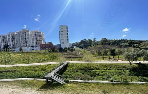
During our visits, we could already observe the short-terms result ing in the completion of the first section from the river mouth to the Sanctuary. The re-naturalization of the river Jamor contributes to the strengthening of its river ecosystem and helps to load the city's groundwater. The interaction of the river to its banks is gra dient and the realized segment presents various sequences: wa ter stream with a riparian gallery of trees and shrubs that provide shadow for the water of the river, water flowing on hard surface crossing under the A5 highway, and from the Palacete de Santa So fia the water passes close to the settlements along the beach thus it is channeled and the embankments are made of hard surfaces before the Jamor flows to the Estuary waters. The main aspects of the re-naturalization of the river Jamor prevail in the prevention of seasonal flooding as the restoration of the riparian gallery can accommodate a surplus of water in its soil and the preservation of local fauna and flora through a careful intervention that enhances that river's natural engineering.
SOFT MOBILITY
Simultaneously to the re-naturalization, the EVA developed a soft mobility concept creating a path for pedestrians and bikes from Carnaxide to Cruz Quebrada Beach. At Carnaxide, a wooden ramp allows to overcome the height difference facing the Sanctuary of Nossa Senhora da Conceição and allows shorter access to the EVA project. The most complex intervention for the connection was to insert the cycling through the tunnel under the A5 highway. The tunnel's section had to be rearranged and extended by two wood en bridges on both sides, crossing over the water stream to join the Jamor Sports Complex. In the longer term, the pedestrian and cycling network aims to connect the different landmarks and facil ities along the Jamor river and strives for non-polluting mobility along with connectivity on the territorial scale.
220
©Oc
V é -R é
V
V é -R
é ane
veillac ©Oc é ane
é -R é veillac ©Oc é ane
é veillac
Sequence of ramp and bridge crossing the river, 2022
Crossing under the A5 highway made accessible to pedestrians and bikes, 2022
Riparian zone along the Jamor River, 2022
References
Balula, Luís. “Eixo Verde e Azul: Intermunicipalidade em Ação na Área Metropolitana de Lisboa.” Blogue SHIFT (blog), December 19, 2018. https:// ambienteterritoriosociedade-ics.org/2018/12/19/eixo-verde-e-azul-intermunicipalidade-em-acao-na-area-metropolitana-de-lisboa/.
Cação, Sofia. “As obras para tornar os espaços verdes mais bonitos arrancam em fevereiro.” New in Oeiras, June 2, 2019. https://newinoeiras.nit.pt/na-cidade/as-obraspara-tornar-os-espacos-verdes-mais-bonitos-arrancam-em-fevereiro/.
Curado, Luís. “Santuário da Rocha deseja museu para assinalar 200 anos.” O Correio da Linha (blog), May 12, 2020. https://www.ocorreiodalinha.pt/2020/12/05/ santuario-da-rocha-deseja-museu-para-assinalar-segundo-centenario/.
Eixo Verde e Azul - Inauguração 1o Troço. “Eixo Verde e Azul - Inauguração 1o Troço,” January 5, 2021. https://www.oeiras.pt/w/eixo-verde-e-azulinaugura%C3%A7%C3%A3o-1%C2%BA-tro%C3%A7o.
“Eixo Verde e Azul - Opening of the First Stretch,” January 5, 2021. https://jamor.ipdj.pt/index.php?lang=en&s=noticias&id=1021&title=EIXO+VERDE+E+AZUL++OPENING+OF+THE+FIRST+STRETCH.
Frier, David G. “Lisbon’s Estádio Nacional: An Adaptable Lieu de Mémoire.” Lusotopie. Recherches Politiques Internationales Sur Les Espaces Issus de l’histoire et de La Colonisation Portugaises 18, no. 1 (March 12, 2019): 40–65.
“História.” Accessed June 2, 2022. https://jamor.ipdj.pt/index.php?lang=pt&s=white&pid=108&title=historia.
Novais, Maria Margarida Lourenço Marreiros de. “Das hesitações no Estado Novo à construção do lugar: o Estádio Nacional do Jamor.” ISCTE - Instituto Universitário de Lisboa, 2020.
Parques de Sintra. Eixo Verde e Azul, 2017. https://www.youtube.com/watch?v=V5V-w7IX6jw.
Sintra Notícias. “Eixo Verde e Azul, nomeado como uma boa prática ambiental.” Sintra Notícias (blog), March 12, 2019. https://sintranoticias.pt/2019/12/03/eixoverde-e-azul-nomeado-como-uma-boa-pratica-ambiental-europeia/.
Teodósio, Rui. “A Gazeta de Miraflores: A Lenda de Nossa Senhora Da Conceição Da Rocha de Carnaxide.” A Gazeta de Miraflores (blog), June 26, 2012. https:// gazetademiraflores.blogspot.com/2012/06/lenda-de-nossa-senhora-da-conceicao-da.html.
Vale, Mário, Margarida Queirós, Luís Balula, Eduarda Marques da Costa, and Herculano Cachinho. “ReSSI – Regional Strategies for Sustainable and Inclusive Territorial Development – Regional Interplay and EU Dialogue Targeted Analysis Annex 6 – Oeiras Case Study,” November 30, 2017.
221
04.02
CASE STUDY ANALYSIS
Miradouro do Adamastor
223
KEN NGUYEN
MIRADOURO DO ADAMASTOR
Lisbon, Portugal
Introduction
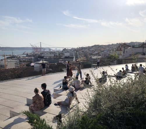
This short essay is a critical analysis of two urban spaces in Lisbon - the Miradouro do Adamastor as the central focus of the analysis, and the wider Bica Neighbourhood Street Network organised along the R. da Bica de Duarte Belo. An analysis of these spaces is undertaken through the lens of the MetroPublicNet project, a research project which examines three key urban challenges: resilience and environmental robustness, sustainable and low-carbon mobility, and social inclusion and territorial
cohesion cast through urban renewal projects within Lisbon undertaken after the turn of the century. Focusing on these open spaces as a multidimensional and transcalar structural network of public spaces, the research concerns itself with the potential emergence of sustainable metropolitan territories and urban coherence through three interlinked rationales: blue and green infrastructure, walkability and active mobility, and neighbourhood connection and cohesion.
224
© Author, 2022 © Author, 2022
Miradouro do Adamastor
View towards Tagus River from the top of R. da Bica de Duarte Belo
PROAP
Locality plan of case study are in the Misericórdia district of central Lisbon.
Site Description & Observations
Miradouro do Alto de Santa Catarina, otherwise locally known as Miradoura do Adamastor, is a popular lookout located in the former Lisbon District of Sao Paulo (now amalgamated Misericordia). Historically, the lookout served as a social retreat for observers coming to spectate passing ships; the cultural significance of the place is enshrined by the statue of Adamastor, a mythical creature created by Portuguese poet Luis de Camoes to symbolise the Cape of Torment, a site where many Portuguese sailing ships were wrecked. Today, locals and visitors alike congregate to this lookout to enjoy its sweeping sunset views of the Tagus River, Christ the King Statue and the 25 de Abril Bridge.
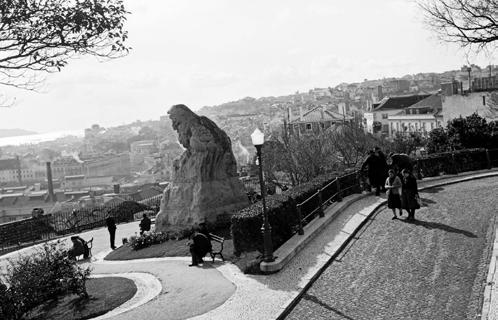
225
©
©
Fernando Manuel de Jesus Matias, in AML, 1959
<https://www.facebook.com/MiradouroStCatarina/photos/462728070763273/>
Author, 2022
Historic Photo of Miradouro do Adamastor taken in 1959.
© PROAP, 2014 <http://www.proap.pt/wp-content/uploads/2014/01/0614_01_ALTO_SANTA_ CATARINA-1023x586.jpg>
Concept design for the requalification of Miradouro do Adamastor by PROAP.
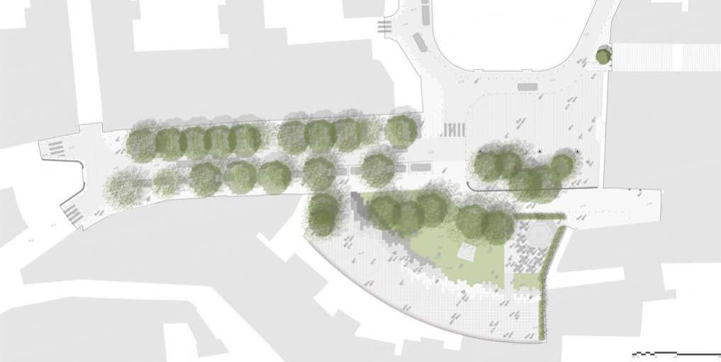
The Miradouro as experienced today, was redeveloped as part of a large-scale urban requalification of the lookout completed in 2013 by local landscape architects PROAP. The urban renewal of Adamastor was formalised with a new planted garden surrounding the statue, and the placement of new amphitheatre style seating which is integrated into the park setting with regard to its spatial organisation and material coherence with the use of Portuguese limestone. The lookout is bookended by two food and beverage concessions and is publicly accessed via a gated ramp from R. de Santa Catarina or via steps through the seating terrace of the kiosk cafe. The other restaurant concession is accessed through the park, leading down to a series of privatised terraced seating areas under a permanent shading structure.
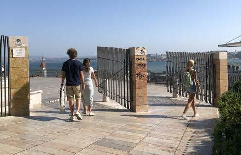
226
© Author, 2022 Main gated entry to the Miradouror do Amdamstor from R. da San ta Catarina.
Limestone amphitheatre seating in front of the new protected gar den bed at Miradouro do Adamastor. The 2m high fence can be seen to the rear.
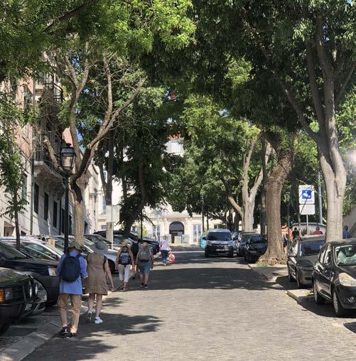
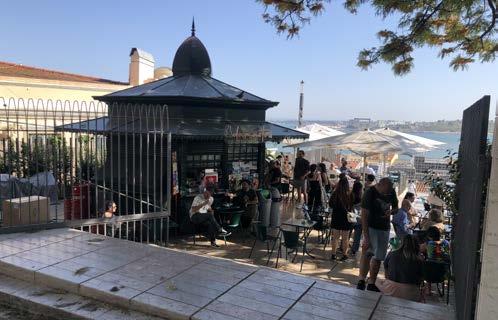
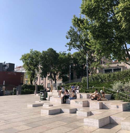
227 © Author, 2022
© Author, 2022
© Author, 2022 © Author, 2022
The 2m 'temporary' high fence recently installed around the Mira douro.
Cafe kiosk concession at the eastern end of the Miradouro do Ad amastor
Large deciduous trees line in between on-street parking along R. da Santa Catarina leading up towards the plaza and Miradouro.
Just outside of the area formally demarcated as the lookout by a 2m high fence installed recently in 2019, a new plaza was also spatialised at the confluence between R. de Santa Catarina and R. Marechal Saldanha. The plaza is enclosed by the recently renovated Verride Palácio de Santa Catarina Hotel, the Museu da Farmácia restaurant terrace and the lookout itself. Though traffic is diverted around the plaza for pedestrian continuity between the lookout, a distinction between the plaza and the lookout is made with a differentiating material change to granite stone.
Like the lookout, the plaza here is also equipped with street furniture and public lighting infrastructure, however with the addition of a waste and recycling collection point. There is a strong green structure of large deciduous trees running along R. de Santa Catarina and into the plaza and lookout gardens, providing shade relief for users of the plaza on warmer days. Whilst the environs are largely paved, street stormwater runoff is managed along R. de Santa Caterina and collected via tree trenches and drainage channels which double as car parking space markers. The gardens of the Miradouro also serve to collect excess runoff from the plaza above.
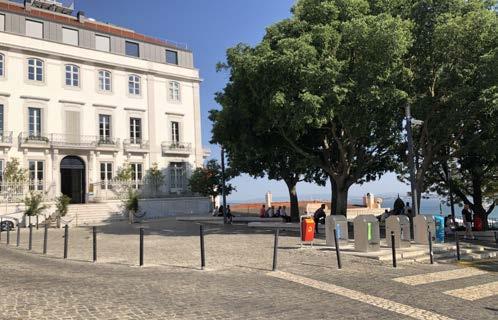
228
© Author, 2022
© Author, 2022
© Author, 2022 Plaza Adamastor in front of the Verride Palácio de Santa Catarina Hotel Traffic is separated from the plaza, now passing in front of the Mu seum gardens.
Integrated WSUD interventions in the carparking along R. de Santa Catarina.
Owing to its positioning on one of Lisbon's seven hills, access to the Miradouro is more challenging from the south, than from the north which is relatively flat when arriving from Calçada do Combro. From the south, a steep ascent of around 10-12% grade along the streets makes it rather challenging for cyclists or those with limited mobility to navigate. Likewise, mobility in the adjacent area of Bica is equally challenging - the presence of the (out of operation) canary yellow funicular is thus of no surprise. The steepest section is found along the R. da Bica de Duarte Belo, following a topographical depression down to the waterfront, and where most of the (night-time based and tourism supporting) commercial activity is located.
An array of equally steep streets intersect perpendicularly to R. da Bica de Duarte Belo lined with residential homes, where the level change is commonly negotiated by steps. In streets such as Tv. da Laranjeira, the steps are furnished with urban furniture and street planting, acting as social spaces for retreat and congregation. Even in streets without formal street furniture, local residents were observed occupying the street as an extension of the dwelling.
229
© Author, 2022 © Author, 2022
© Author, 2022
The steep slope leading up R. da Santa Catarina can be challeng ing for cyclists and persons with limited mobility.
Flat street grade along R. Mal Saldanha provides access for those with limited mobility to the Miradouro and Plaza.
Steps along the perpendicular streets leading down to R. da Bica de Duarte Belo
© Author, 2022 Fieldwork sketch - sectional study of Miradouro and plaza open space elements.
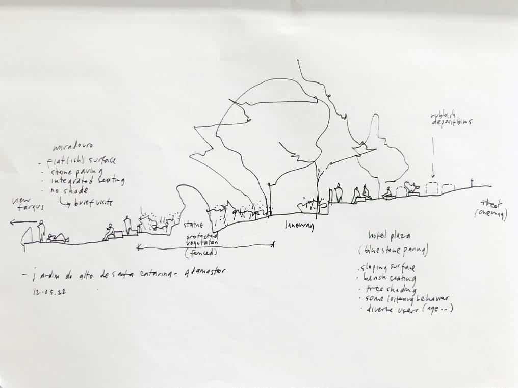
230
Fieldwork sketches - street sections illustrating mobility circulation, open space uses and relationship to surrounding built form.
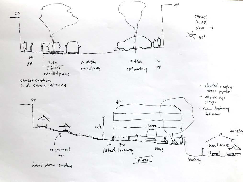
231 © Author, 2022
Author, 2022 Fieldwork sketch - sectional study of Bica Neighbourhood illustrat ing topography and level change, open space uses and relation ship to built form.
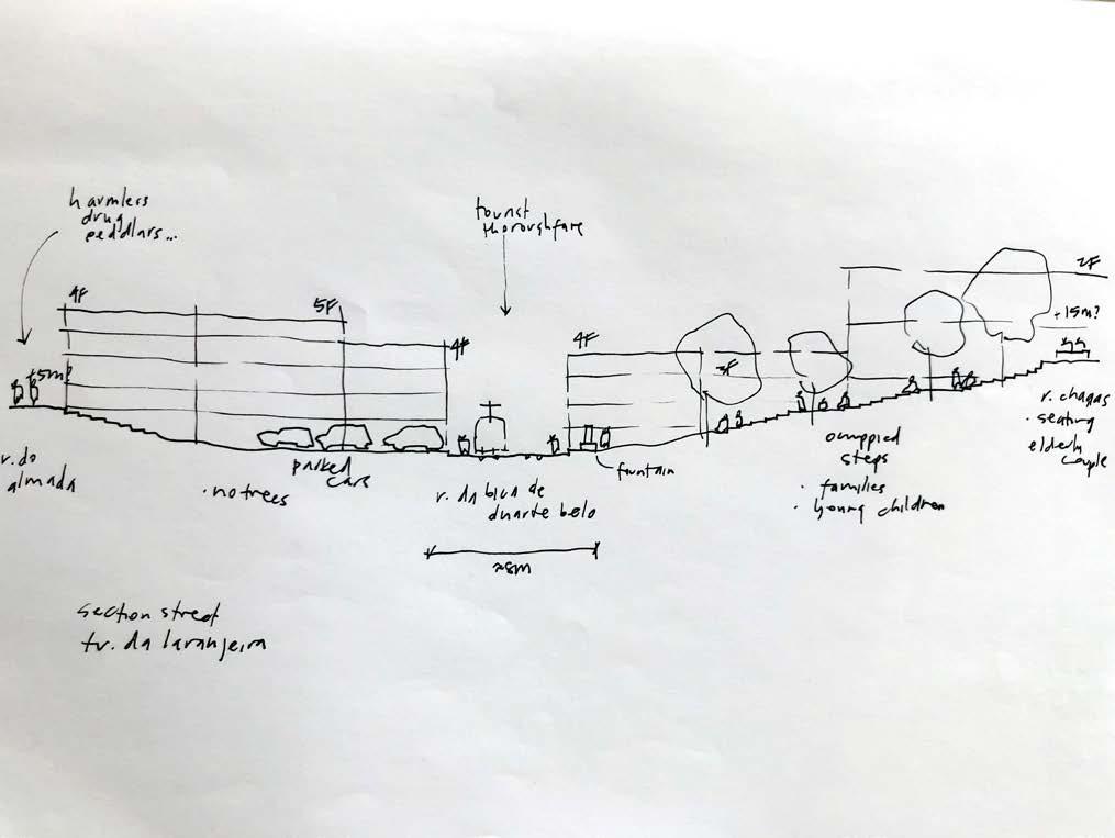
232
©
Fieldwork sketches - observations of user types and behaviour on limestone amphitheatre seating at the Miradouro.
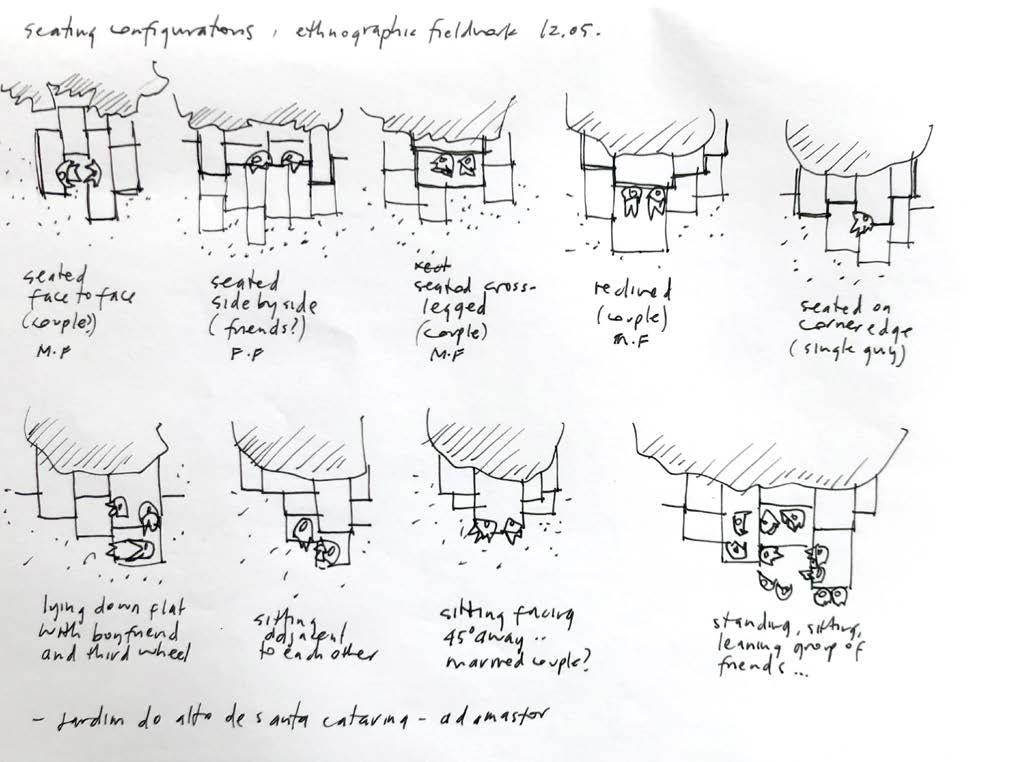
233 © Author, 2022
Critical Analysis
The Bica neighbourhood was spared from the destruction of the Great Lisbon Earthquake of 1755, and the narrow streets and dense housing denotes an urban fabric which was not designed for the car. Nonetheless, many of the perpendicular dead-end streets are now often used as on-street resident parking to the detriment of the public realm. With urban space in cities becoming more and more contested, there is an urgent need for both a cultural and policy shift away from private car use, and towards a wide scale adoption of mix-modal and active transport choices. Consolidated parking solutions at new developments below could be complemented with the reactivation of the funicular as a first step towards a complete active mobility transition. More importantly, such a move would not only enable the reclamation of the street as public spaces for social activity, but also unlock opportunities to unseal the streets as new sites for urban greening and water management, whilst enhancing user comfort.
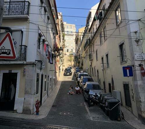
During the two site visits to the Miradouro - the first on a sunny weekday afternoon and the second on an overcast weekend evening, it was observed that during both timeframes, the area was equally occupied by a diverse range of users, in both the public and privatised areas. Focusing on the public area, the general atmosphere was convivial in both plaza and lookout areas, with users ranging between couples, groups of friends, young families, elderly people and tourists.
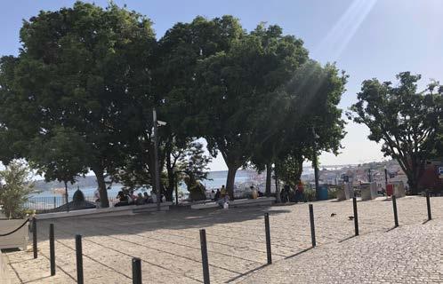
During the first visit, it was observed that whilst the amphitheatre seating was well occupied on both occasions, the turnover of users was much more frequent than on the second visit as users were largely exposed to the harsh afternoon sun. On the contrary in the plaza, large deciduous trees provided ample shading for users occupying the bench seating. These two areas thus provide users with alternative comfortable spaces for occupation depending on the weather and season.
On the same occasion, a small group of young adults were congregating around one of these park benches in the plaza, playing music on a portable speaker and consuming alcohol. Without tending to any sweeping generalisations, the presence of signage indicating the use of public surveillance cameras may suggest a potential tension of public open space use and issues of ‘public safety’ between local residents and particular urban users. Despite this, there was no anti-social
234
© Author, 2022
Residents compete for scarce open space in the streets of the Bica Neighbourhood alongside parked cars and waste and recycling bins.
© Author, 2022
Public furniture on the plaza is shaded by the large trees from harsh afternoon sun.
behaviour observed other than the discarded litter left behind by the group after vacating the area.
The urban realm quality of the Miradouro and the adjacent plaza is illustrative of the importance of balancing both high-quality design interventions with appropriate open space management. Public areas must function as a space where urban activity can occur and is accessible by a diverse range of people. The ‘privatisation’ of the lookout with the two commercial concessions is mitigated by the clear demarcations between what is private and public - importantly the main entrance to the lookout is unimpeded by commercial activity. On the same hand, privatisation through commercial concessions transfers some of this social control responsibility to these concessions to maintain security of the public space. Similarly, the activities of the hotel and the restaurant of the museum are contained within their respective private boundaries, yet maintaining visual connection to the plaza, with the hotel operating 24 hours.
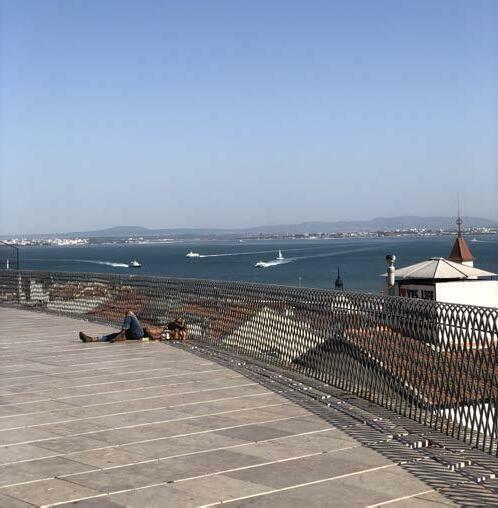
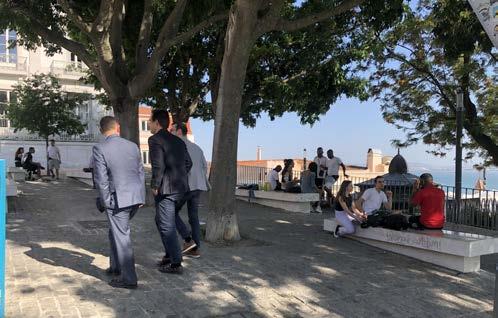
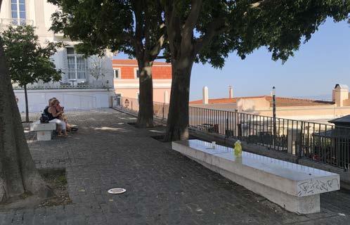
235
© Author, 2022
© Author, 2022
© Author, 2022 Plaza Adamastor was observed to be occupied by a diverse range of users.
Waste left behind by users of the plaza despite the provision of bins nearby.
A user enjoying the afternoon sun on the Miradouro.
The demarcation of private commercial concessions are made clear in the Miradouro to prevent 'privatisation' of public open space.
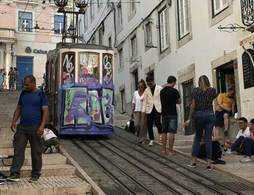
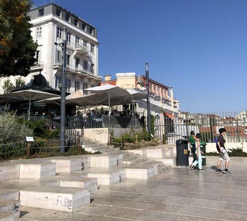
A point of contention however is the closure of the Miradouro by municipality officers at 11:30pm daily, a sentiment echoed in my conversation with Lisbon local Miguel, where the installation of the 2m high fence was a ‘temporary’ measure to contain local ‘brawling gangs’ and to protect the newly planted gardens. Whilst he agrees that urban requalification of the lookout has achieved in large what locals have also long campaigned for, in an area which he himself would have avoided 10 years ago, these recent physical interventions as a urban practice of controlling and ‘closing’ public open space under the guise of social control and safety are perhaps more divisive than what it sets out to do in the first instance.
Concluding Remarks
Like much of Lisbon, is the tourism boom, coupled with neoliberal urban policies and rapid gentrification, contributing to a broader social issue where urban interventions within these highly contested urban spaces are subversively excluding particular classes of people - or even the general right for all to permanently accessible public open space? Even if the objective of social control in the case of public open space is achieved in large to appease local residents, are these ‘problematic’ social issues simply being ignored and shifted elsewhere, and often outside of the city? Similarly, will the Bica Neighbourhood be exposed to the same risk of depopulation as a result of a less diversified local commerce, favouring predominantly night-life based activity to the detriment of liveability as witnessed in nearby Barrio Alto? Without regulation of the economic activity which is in balance with the liveability of the city, long term residents are at risk of being pushed away from the centre in favour of more lucrative, real estate driven investment and short-term rentals, altering the social fabric of the city towards a commodified version of the city, whilst further reproducing socio-spatial segregation of the city.
The municipality must balance the tourism and commerce with the amenity of the long-term local residents to ensure a balanced and vibrant - socially and territorially cohesive city.
236
© Author, 2022
© Author, 2022
References
Goncalves, Jorge Manuel, and Gomes, Marta Castilho. 2013. “In between: Types of mobility in peri-urban areas - the case of Metropolitan Area of Lisbon”. Paper presented at CITTA 6th Annual Conference on Planning Research: Responsive Transports for Smart Mobility, Oporto, May 14, 2013. DOI:10.13140/2.1.3741.0886
Lorenzini, Andrea and Ambrosino, Giorgio. 2019. “SMARTA Insight Paper: Portugal”. Rural Shared Mobility. <https://ruralsharedmobility. eu/wp-content/uploads/2019/08/SMARTA-IP-Portugal.pdf> (Accessed 25 April, 2021).
Soares, Ana Luísa, Colaço, Conceição, Moreira, Francisco, Fontes, Inês, and Vaz e Susana Dias, Pedro. 2012. “PERIURBAN”. Centro Ecologia Aplicada. <http://www.isa.ulisboa.pt/ceabn/projecto/2/72/periurban-peri-urban-areas-facing-sustainability-challengesscenario-development-in-the-metropolitan-area-of-lisbon> (Accessed 25 April, 2021).
Torquati, Biancamaria, Giacche, Giulia, and Tempesta, Tiziano. 2020. “Landscape and Services in Peri-Urban Areas and Choice of Housing Location: An Application of Discrete Choice Experiments”. Land 9, no. 10 (2020): 1-12.
237
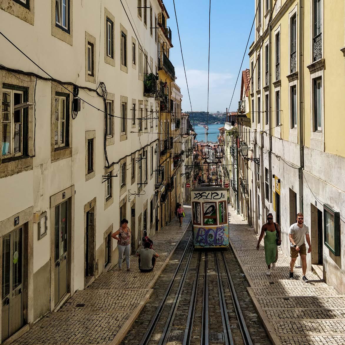
04.03
CASE STUDY ANALYSIS
Elevador da Bica
239
LAKSHIMINARAAYANAN SUDHAKAR
© Lakshiminaraayanan Sudhakar
Street and square requalification of "Elevator"
ELEVADOR DA BICA
Teresa Nunes da Ponte Arquitectura
Rua de S. Paulo, Lisboa, Portugal 2006
Lisbon is one of oldest cities in the world and the oldest in Western Europe. The charming streets are usually paved with cobblestone. Although a pedestrian-friendly city, the steep slopes of some neighbourhoods mean that people have to rely on cable cars and elevators to reach their destination. The historical part of the city is characterized by its maze of straight and narrow streets. The streets are so steep that they terminate abruptly, giving way to stairs, cable cars, funiculars, and, in one case, an elevator - the Santa Justa Lift is an iron structure designed by French architect Raoul Mesnier du Ponsard that moves between the city’s upper and lower levels.
Ascensor da Bica, also known as the Elevador da Bica, is a funicular railway line that runs along two arteries - Rua da Bica Duarte Belo and Calçada da Bica Pequena, in Bica, Lisbon, Portugal. It connects the Rua de São Paulo with Calçada do Combro/Rua do Loreto.
Bica is the name of the entire site dug between the slopes of Santa Catarina and Chagas. This is the result of a landslide restricted to the site, which occurred in 1597 and which was repeated again 25 years later. Located in Lisbon's Pombaline district adjacent to the Tagus River, the funicular system is characterized by a slope that dominates its axis. The route follows an area of predominantly rental buildings built in the 18th century.
Lisbon has three working street funiculars: Lavra, Gloria and Bica, which allow its citizens and visitors to move to and from its hilly districts more easily. The Ascensor da Bica is a project by engineer Raoul Mesnier de Ponsard, created to help all Lisbon residents move to steeper parts of the city. He also is the engineer behind the other funiculars and elevators in Lisbon. Inaugurated in 1892, the Bica Ascensor has been in operation for a century now. The funicular/lift consists of two cars that travel in opposing directions simultaneously over the distance. The lift ascends an incline of 11.8% to the Rua da Bica de Duarte Belo, a distance of 245 meters, from the Rua de São Paulo.
Figure 1. Plan of intervention
240
© Author
Figure 2. Cross section across the streets four streets that intercept Rua da Bica de Duarte Belo – Travessa do Cabral, Travessa da Portuguesa, Travessa da Laranjeira, Travessa do Sequeiro.
241
© Author
Ascensor da Bica and the surrounding area has been classified as a National Monument since 2002. Subsequently, the area around Bica underwent an urban requalification designed by architect Teresa Nunes da Ponte in 2006.
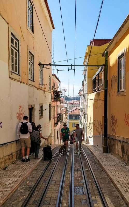
Its route is shared by car traffic, which is not the case in any of the other Portuguese funiculars. This is because the hillside serves as the backbone of Bairro da Bica, and it is possible to drive along this part of the sidewalk to access certain arteries in the neighbourhood. Even so, traffic only moves uphill.
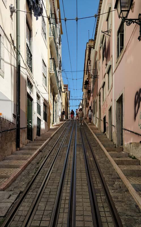
242
Figure 3,4. Calçada da Bica Pequena with the stepped side walks and shared street of the funicular line.
© Lakshiminaraayanan Sudhakar
© Lakshiminaraayanan
Sudhakar
Bairro da Bica being a historic district, the car traffic is reserved only for residents of the neighbourhood. Requalification made Bica very pedestrian friendly. The sidewalk is reimagined as a series of wide stairs on either side of the elevator throughout its journey to Rua de São Paulo.
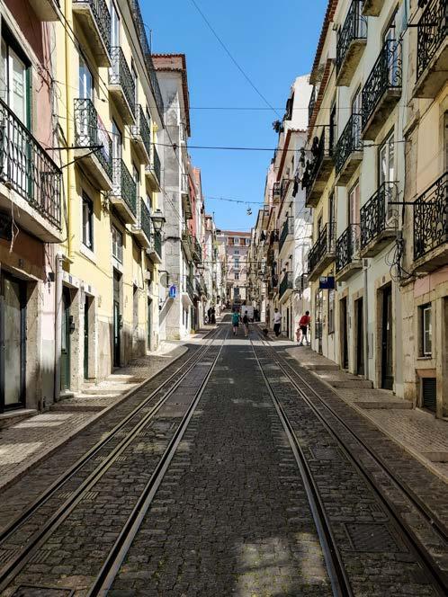
Four streets intercept Rua da Bica de Duarte Belo – Travessa do Cabral, Travessa da Portuguesa, Travessa da Laranjeira, Travessa do Sequeiro. The pedestrian paths on either sides of the streets were clearly defined. Parallel parking has been provided alongside the pedestrian pathways, since the homes here lack a parking garage of their own.
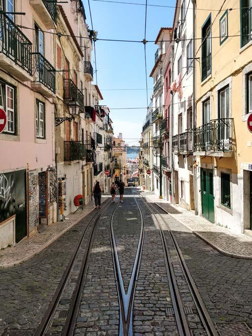
243
© Lakshiminaraayanan Sudhakar
© Lakshiminaraayanan
Sudhakar
Figure 5,6. Rua da Bica Duarte Belo
Each street has been redefined to reduce the traffic flow into the neighbourhood and restrict the movement of cars only to the residents of these streets. This has been done by cutting off the vehicular entry into the streets by adding a staircase as wide as the street itself to enable pedestrian movement.
Figure
The path that leads to stairs on Travessa da Laranjeira from Rua Chages is nestled with urban furniture and trees. The deep tread of stairs lined with trees encourage people to use it as seating –creating qualitative urban spaces for the neighbourhood and its people.
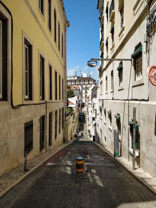
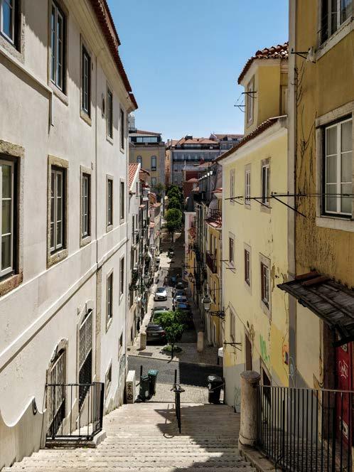
244
© Lakshiminaraayanan Sudhakar
© Lakshiminaraayanan
Sudhakar
Figure 7. The retractable bollard in place on Travessa do Sequeiro to control vehicle access.
8. Travessa da Laranjeira with street wide stairs on both the ends of the street.
Figure 9. A flight of stairs at one end of Travessa do Cabral.
Figure 10,11. The path that leads to stairs on Travessa da Laranjeira from Rua Chages is nestled with urban furniture and trees.
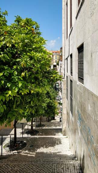
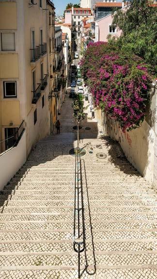
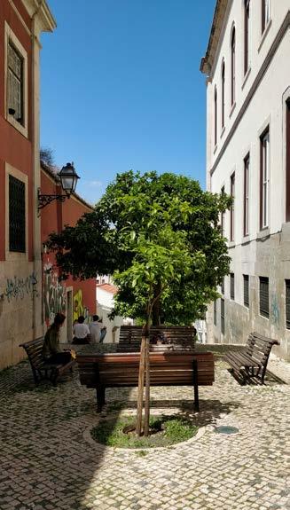
Only Travessa do Sequeiro from Rua Chagas and Travessa do Cabral from Rua do Almada allow cars to enter this neighbourhood. A retractable bollard is also in place on Travessa do Sequeiro to control vehicle access.
Bica is also accessed from Rua de São Paulo by a street with steep flight of stairs - Calçada da Bica Grande that reaches Travessa do Cabral.
245
© Lakshiminaraayanan Sudhakar
© Lakshiminaraayanan
Sudhakar
© Lakshiminaraayanan Sudhakar
The neighbourhood is very popular amongst the tourists and it is very common to find tourists on these streets of Bica at any time of the day. By taking the flight of stairs on Travessa da Portuguesa from Rua do Almada, you reach the Miradouro de Santa Catarina, with views over the city from this famous viewpoint.
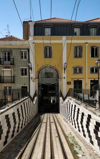
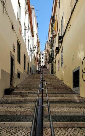
The streets requalified under this project retain the rustic nature of the 16th century neighbourhood. However, the narrow streets make it difficult to incorporate more of the green network in the fabric. Steps taken by the municipality can be more radical and discourage the usage of cars by strengthening the systems of soft mobility and public infrastructure.
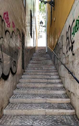
246
© Lakshiminaraayanan Sudhakar
© Lakshiminaraayanan Sudhakar
Figure 12. Ascensor da Bica Figure 13,14. Steep flight of stairs - Calçada da Bica Pequena and Calçada da Bica Grande
Figure 15,16. Travessa do Cabral with small resident cafes opening into the streets, in place of parklets.
Currently, the funicular systems seem to be in use primarily by tourists. Local residents traverse the terrain on foot, which is a positive sign of the success of the project for designing stepped sidewalks to make walking easier.
Figure 17,18. Travessa da Portuguesa with parallel car parks and dumpsters. At the edge of this street is the stairs that lead to Miradouro de Santa Catarina.
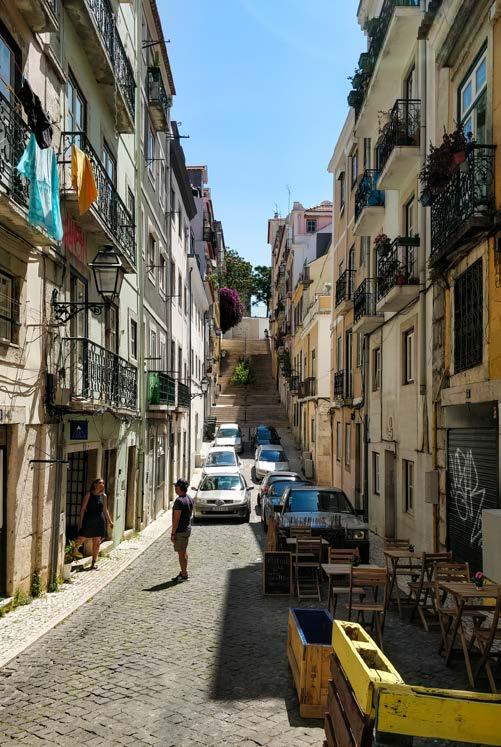
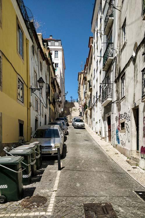
247
© Lakshiminaraayanan Sudhakar
© Lakshiminaraayanan Sudhakar
248
04.04
CASE STUDY ANALYSIS
Ribeira das Naus
249
JULES DESCAMPE
© Jules Descampe
Ribeira das Naus
PROAP + GLOBAL
Case study of a project selected within the frame of the Metro Public Net
Implantation into the riverside landscape
250
The Ribeira das Naus is one of the places in Lisbon that most embodies the close historical and geographical relationship between the capital and the Mediterranean Sea, especially the Tagus. The port development of Lisbon dates back to the Roman era when the city was called Olissipo. The port developed slowly through the centuries following the evolution of the city which became the capital of Portugal.
Throughout its history, Ribeira das Naus was an important shipyard that participated in the construction of ships that took part in the movement of discoveries of the universal routes. For this reason, the dockyard has become a mythical place full of history already a few centuries ago. In spite of the many natural events and changes, the Arsenal has kept its name and the organization of its main elements: the arsenal dock, the beaching ramps and the dry docks, which have become artifacts today.
It was during the industrial revolution in the 19th century that the port was transformed and the old shipyard expanded considerably. The Ribeira das Naus, which historically represented the entire shipyard of the city, became the point of contact of a much larger infrastructural complex with the city center.
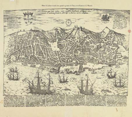
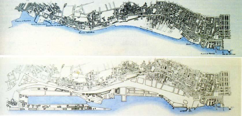
251
A design wich inhabit the riverfront
Figure 1. Plan of Lisbon in the sixteenth century according to the engraving from G. Braun entitled “Theatrum Urbium”
Figure 2. Plans comparing the coast line in 1871 and 1911
From the twentieth century on, the projects of artificialisation of the coast of Lisbon multiplied to increase the port activities, to adapt to the new models of ships and later to the new technological innovations, such as the containers, which required more and more space. This industrialization that began in the west gradually spread to the east. As for the surroundings of Ribeira das naus, this artificialization of the coastal spaces was accompanied by a reduction of the mix of programs to fish markets, shipyards and ports. Public access to the Tagus was also reduced to the Praca do Comerico square and the beaches on the outskirts of the city. The port areas formed a coastal barrier of infrastructure of monofunctional superhuman scale and «sailor town» associated with danger, pollution and prostitution for the inhabitants of the capital (the sailor town).
From 1940, the desire to rebuild points of contact with the Tagus grew with the Exposição do Mundo Português in Belém. However, it was at the end of the 80’s that this desire really took shape with the proposal of a complete vision of the Lisbon waterfront.
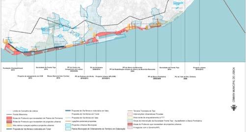
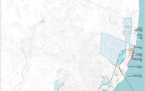
During the last 30 years, the city has seen a great improvement in its relationship with the river. Many projects were launched and many port complexes were rehabilitated. Among them we can count the Park of Nations of Expo 98, the Parça do Comércio and the Ribeira das naus. The ambitions of the city were to restore a contact where the inhabitants could be in contact with the water by proposing new public spaces along the Tagus.
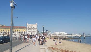
252
Figure 3. General Plan of Interventions in the waterfront of Lisbon
Figure 5 Parca de Commercio.
Figure 4. Parca de Commercio
The Ribeira das Naus is a site marked by the numerous reconstruction of the city that appear then of multiple maieres. To highlight the memory of the site, the work proposes a cutting of the coastline following an interpretation of the historical stratification of the site and the changes it has undergone. To do so, the drawing is inspired by the soil types, the historical footprints of the original shipyard coastline and the artifacts.
From these elements the site is divided into four parts. On the city side, the footprint of the historic shipyard is highlighted by a planted park. To this is added the artifacts of the Arsenal’s infrastructures, which are staged, offering a layer of public and gathering spaces. Then a space of circulation comes to be lodged between the spaces of this coastline. The last layer makes a relationship with the Tagus and the tides.
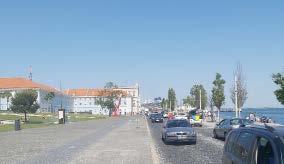
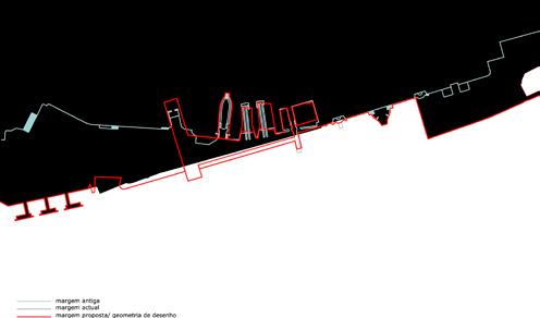
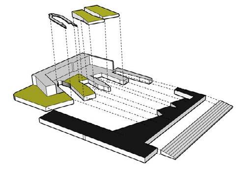
In the design of the project the layer of circulation assures the uniqueness of the project and the connections between the layers of public space distributed on both sides of the latter debt. However, the road that crosses this layer of buffer space defeats its role as a binder. Today, the way the whole of Ribeira das Naus is defined by the seisure formed by the road. The public spaces along the Tagus are inhabited by more people and differently than those of the park in the historic part of the site and appear as independent spaces. Moreover, the fact that the historical building is invested by the Tribunal da Relação de Lisboa and the need for a secure parking lot has condemned a part of the site from its relationship with the herit-age value of the building and its court.
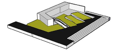
253
Figure 8. The in between layer of circulation
Figure 7. Decompositon of the4 layers of the project
Figure 6. The historical layers of the site
A design wich remember the stratifications of its historical roots
A design wich facilitate its accessibility
The work by «layer» carried out on the site also allows to facilitate the accessibility and the mobility on the site. Indeed, the cutting of the coastline allowed to align the gap between the Cais do Sodré, from where many people arrive by boat, with the traffic layer. This last one allows to unclog the public infrastructures located as much on the side of the river as on the side of the historical site.
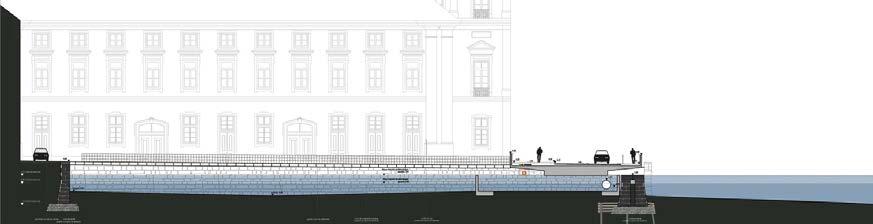
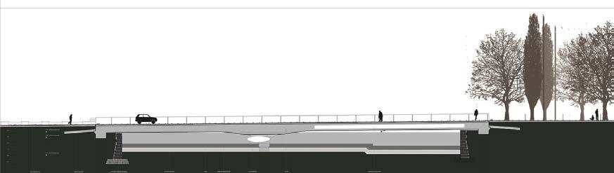
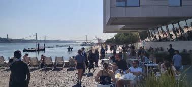
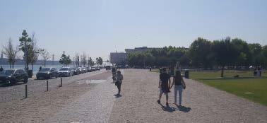
Within this traffic layer, the distinction between the different means of transport is made by subtle dark basalt floor treatments in order to preserve the uniqueness of the whole, which is undermined by the presence of the car. The traffic is then different on one side or the other of the road since on the sea side we find the majority of pedestrians and slower bikes.
The addition of the bridge forming the connection with the Parça do Comércio allowed to reinforce the relationship of the site to the city center by the coastline and, de facto, to reinforce the relationship of the city with the Tagus. Moreover, this bridge stages the last basin of the old Arsenal by letting the water enter during high tides.
254
Figure 9. Alinments
Figure 11. Sections of the bridge in both directions
Figure 10. Floor treatments
A design wich propose porosity between the city and the water
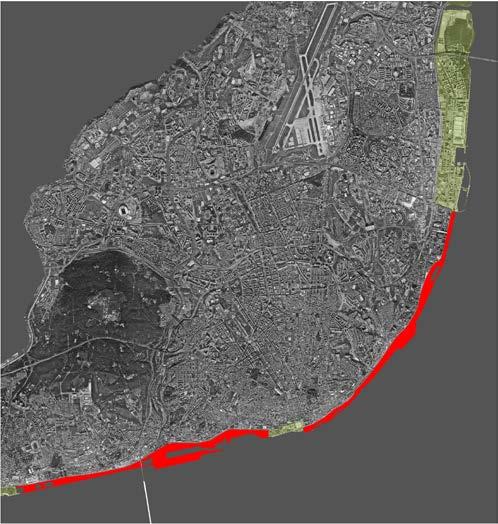
The Exposição do Mundo Português in Belém, the Park of the Nations of Expo 98 in the north of Lisbon and the Ribeira das Naus stand out as three elements of great permeability that propose public spaces with close relationships with the Tagus River on a Coastline still saturated by impermeable and monofunctional protural infrastructure. These three entities were among the first to propose planted spaces on the seafront in which mixed programs encourage social interaction.
On the site of Ribeira das Naus this porosity is particularly accentuated by the appropriable spaces that the site offers and their relationship to the Tagus:
- The stairs along the Tagus River playing with the microtopography to understand the tides through the public space.
- The Basin near the Place du Commerce, which proposes a new relationship with water.
- The historical sites of the Arsenal quays reinvested by gentle slopes facing the Tagus.
- The reinvestment of the dry dock of the arsenal.
This porosity is however hindered by the road that crosses the site transversally. Indeed, although much effort has been made to mitigate its impact. Although the creation of a shared space and the attention paid to the ground coverings allow the porosity of the site to be increased, the road remains a much-used urban infrastructure that forms a limit that is difficult to cross.
255
Figure 14. Infrastructural barrier
Figure 13. Planted area facing the water
Figure 12. Permeability of the riverfront
A design wich inhabit the riverfront
As a whole, the Riviera das Naus offers different ways of living the Riverfront.
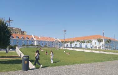
In the east, the access to the Praca do Comércio is assured by a bridge made of metal and wood whose transparency allows the users to see the water under their feet. The old stones embedded in the dikes let pass large pipes located at different heights letting more or less water enter the basin depending on the tidal heights.
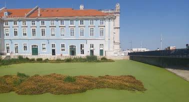
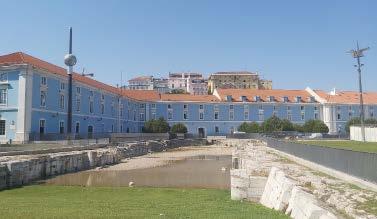
On the north side, the old beaching ramp João Gomes da Silva describes it as follows: «This platform, which contains the Doca seca (dry dock) artifact now fully exposed, reveals two new descending planes till the Tejo river, which materialize the place of beaching ramps now flat surfaces appropriated by grass and contemplative timber.»
On the south, the investment of the coastline by the game of long inclined steps allows to appreciate the tidal movements of the Tagus and to propose a direct contact between the users and the water. The movements of the tides make the public space evolve daily and monthly, letting the users enjoy the movements of the water.
However, the road crossing the site limits the contact between these two parts of the site. The high frequency of passage on this road complicates its crossing and hinders the visual relationship between the north of the site and the south.
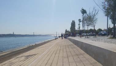
256
Figure 15. The bassin
Figure 16. The beaching ramps
Figure 17. The Doca Seca
Figure 18. inclinate steps
Conclusion
The investment of the Ribeira de Naus, honors the memory of a historical site that has become mythical in the course of its history. Its structure redefines the coastline through a clear reading of the periods that the site has crossed. Its design seeks the uniqueness of a site proposing more porosity towards the Tagus by staging different addresses towards the water. However the strength of the intentions is reduced by the presence of the road and the intensity of its use. On the one hand, this road breaks the unity of the site and on the other hand, it limits the relationship with the Tagus for the northern part of the site and the relevance of the boundaries between the layers.
Limiting its use or even changing it to a softer mobility would be an ideal solution to improve the qualities of the former Arsenal site. Moreover, the disappearance of cars would free up the parking spaces that are currently appropriating the qualitative spaces of the riverfront.
Figure 19. Parking lot
Bibliography
J. M. Pagés Sánchez, 2016 «Reuse and musealization of port related heritage in Lisbon». https://divisare.com/projects/299255-global-arquitectura-paisagistajoao-antonio-ribeiro-ferreira-nunes-proap-ribeira-das-naus-riverfront.
J. Gomes da Silva, 2012 «Reuse and musealization of port related heritage in Lisbon». https://theportandthecity.wordpress.com/tag/ribeira-das-naus/.
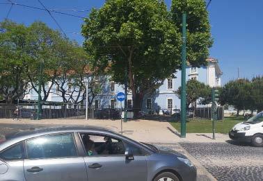
Figure1: Plan of Lisbon in the sixteenth century according to the engraving from G. Braun entitled “Theatrum Urbium”. Retrieved from the National Library of Portugal (cota CC-381-A).
Figure2: Plans comparing the coast line in 1871 and 1911, from Alcântara to Cais Sodre. Source: “Arquitectura” nº137,1980, P.29
Figure
Figure 4: Salgado, 2013 «General Plan of Interventions in the waterfront of Lisbon». http://www.cm-lisboa.pt/
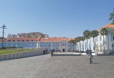
Figure 4-5, 8-10, 13-20: J. Descampe,2022, pictures.
Figure 6-7, 11-12: J. M. Pagés Sánchez, 2016 «Reuse and musealization of port related heritage in Lisbon». https://divisare.com/projects/299255-globalarquitectura-paisagista-joao-antonio-ribeiro-ferreira-nunes-proap-ribeira-dasnaus-riverfront.
257
20. Closed parking lot for the court building
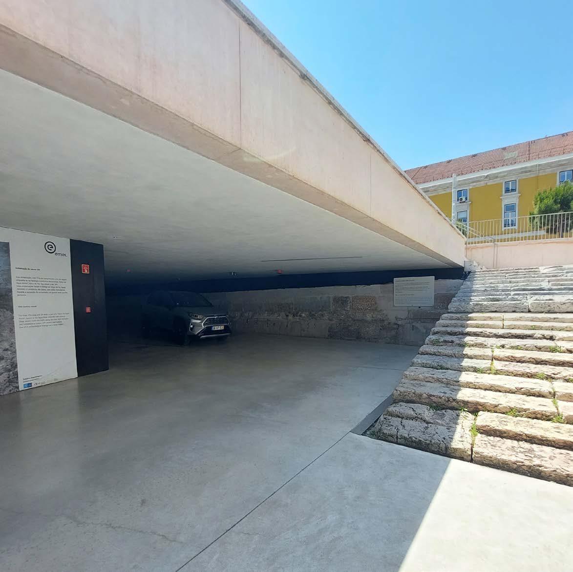
04.05
CASE STUDY ANALYSIS
Campo das Cebolas

259
ANA VERONICA MARTINEZ
© Ana Veronica Martinez
Case Study - MetroPublicNet
CAMPO DAS CEBOLAS
Carrilho da Graca Arquitectos
Lisboa 2018
Currently Campo das Cebolas is a semi-underground parking space with an urban green space at street level. It overlooks the Tagus River and is located between Praca do Comercio and Santa Apolonia in the heart of the city of Lisbon, Portugal. This project is relatively recent and was called: Requalification of the Campo das Cebolas, the same was coordinated by the Architect Carrilho da Graca and managed by the company EMEL.(Campo DAgua, 2015)
Historical Bakground
Before, Campo das Cebolas was water. The port of Lisbon was where what is now the Placa do Comercio, the reason why it was a highly commercial area. Its name comes from the fact that it was where the landings and deposits of the onions were made. (Lisboa de Antigamente, 2019).
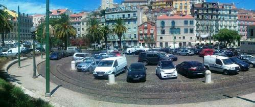
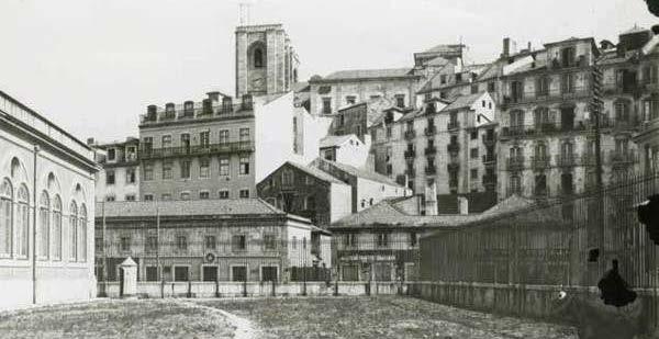
After the Lisbon earthquake in 1755, in the 18th century a pier was built, as a new structure facing the river, as a result of the Pombalina reconstruction that the whole city had. After this, in the early 90’s , this space became a concrete plate crammed with cars parked between palm trees and tram lines that had disappeared in the
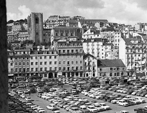
260
Figure 2. Campo das Cebolas in 2012. (Passeio Livre, n.d.)
Figure 3. Campo das Cebolas in 1903. (Alberto Carranco, n.d.)
Figure 4. Casa dos Bicos Panorâmica on theCampo das Cebolas [1969] (Lisboa de Antigamente, 2019)
Project Concept
On 2015, construction work began on the requalification of the site. The intervention consisted of the creation of an urban space, working on the historical territory with delicate movements to avoid affecting the ancient structures, which archaeologists knew that there were below the existing paviment. The main objective was to change the conditions of this space for public and urban scenario used by the inhabitants of the city. According to the architects, it was designed to integrate the landscape design that currently has the center of the city and make it a continuous part of its surroundings, that is, it is not a project designed out of context. In turn, restructuring the massive chaos that existed with the cars parked on the surface, was one of the points in favor. The coexistence between the past and the present was the central basis of the project. The biggest challenge for those in charge was the fact of designing and building while guaranteeing energy efficiency and sustainability while taking care of the historical value
During the works of the new project, archaeological remains were discovered. Among the records of the findings the most outstanding are: a wall built after the earthquake in 1755, a staircase to access the river as a result of the reconstruction of Pombalina, remains of a fort of the seventeenth century, remains of market stalls, remains of a well and a boardwalk of the late nineteenth century. After these findings, the work was postponed because deeper analysis of these were made concluding in making a relationship between the historical value with the new design concept.(Electrictuk Ecotours, n.d.)
As for the surface, it went from being a concrete board to a vegetal cover where stone pine was planted. This aims to create a recreation space, shaded, silent, but at the same time welcoming its surroundings. The relationship between Riberia das Portas do Mar and Doca da Marinha has and special importance, becoming more open and allowing effective access to the river. This relationship is mediated by Avenida Infante D. Henrique, reprofiled with tree axes for a slower and more measured traffic. The Ribiera das Portas do Mas and the rehabilitated Campo das Cebolas are assumed as a stone surface, embedded in concrete, drawing a pattern that reacts to the elements that inhabit it. (Instituto da Habitacao e da Reabilitacao Urbana, n.d.)
Since 2018, this site has become 209 parking lots for residents' and visitors' cars. It was designed with internal garden spaces thus giving access to natural light and cross ventilation, that is why experts call the concept of a semi underground, since it reduces the feeling of being under the earth. They created pedestrian paths for easy access. Today the parking space preserves some archaeological structures such as the old wall, the boat and the stairs already mentioned. With respect to the use and accessibility, the parking lots have charging points for electric cars, free parking for bicycles and exclusive parking for people with reduced mobility
261
Figure 6. Internal Gardens. (Martinez, Ana)
Figure 5. (Martinez, Ana)
Conservation of archaeological heritage

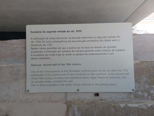
As part of the memories of our history and as proof of the origins of the work of human society, archaeological sites and objects represent a last source of valuable information. For this reason, for us and for the following generations of architects and urban designers, it is crucial to give more importance to the state of conservation and the valorization of archaeological sites. Usually, archaeological symbols are in poor condition, affected by natural phenomena and are not properly protected. It is our duty to promote them to attract visitors, educate and sensitize the population in the toppic.
In the case of Campo da Cebolas, it was clearly seen how they strove to preserve the historical finds. Making pauses in the process of construction to re think the initial plans and alter them taking as a priority the conservation of these. The good intention is even more recognized when it comes to a city that suffered an earthquake which affected the physical structure of it, and actually they are scarce buildings currently standing that have been built before this event. On the other hand, we are used to, as architects and / or urban planners, to give the meaning to the conservation of heritage as “not modifying”, restoring or simply making reproductions, rebuilding it as what it was, same functions, same objectives and often even without being able to use them, turning it 100% into an uninterested tourism. What is recognizable is that these structures were integrated as part of the new concept, having a new objective, use and applied to the current need of the city, inciting the interest in the ancestors and history of the city
262
Figure 7. (Martinez, Ana)
Figure 8. (Martinez, Ana)
Relationship with its surroundings
In principle, a public space is the place open to the whole society and it is state property with domain and use of the population in general. Its main goal is social connection and interaction. The transformation of this specific space in terms of its surface, definitely fulfills what corresponds to the theory. During a common tour in the area, you will be able to notice people under the shade of the trees taking a break, children playing on the playground or people just passing by to take public transport at the stations and stops nearby. Added to this, there is a clear connection between the square and the buildings that are around it, whether with commercial, institutional or residential function. This means that Rua da Alfandega became part of the landscaping of the area, causing cars to reduce their speed and prioritizing the passage of the pedestrian and continuing what happens on the other side of the street.
If one of the objectives of the city is the incentive of the use of public transport, reduced mobility and elimination of cars, I believe that the fact of replacing parking spaces, located on the surface, by public areas with green spaces, is a good start to change the mentality of the citizen.
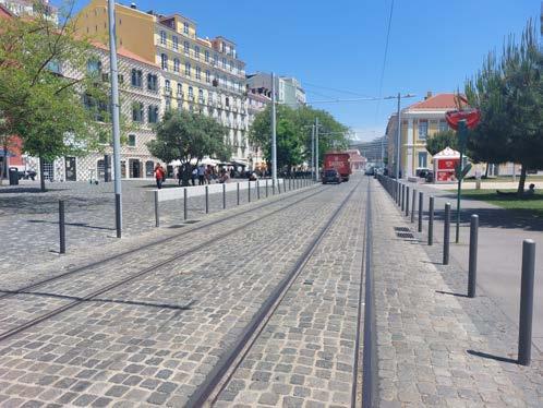
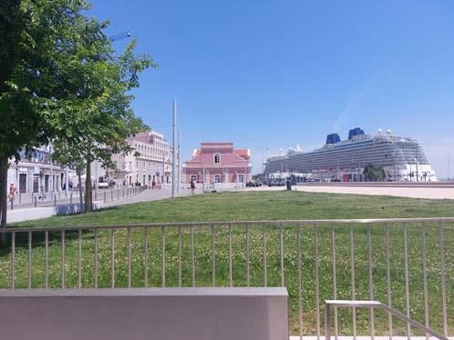
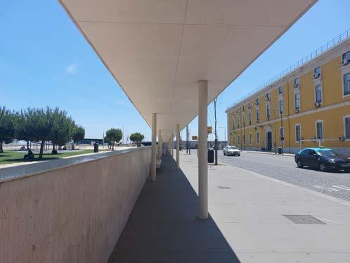
263
Figure 9. (Martinez, Ana)
Figure 10. (Martinez, Ana)
Figure 11. (Martinez, Ana)
Car as priority?
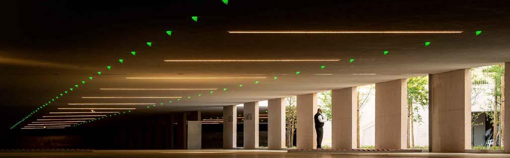
Finally, analyzing the last statement, it is interesting to enter into the controversy whether this project should really be an underground parking lot. Lisbon is a city that is currently in plans to create more bike paths for the use of means of transport such as bicycles, electric scooters and in turn, prioritize the roads for effective public transport and thus encourage the population to reduce the private vehicle. So, if all this is something that they "want" and is an important "goal" in the city, why create this historic space by making it a car park? This makes all these historical values that the place has, appreciated only by a small number of people, which are those who park their cars in that specific parking lot. It should be emphasized that all the logistics of this project were based on the parking lots and on top of this it was decided to make an urban park which has an approximate 50% green area and 50% pavement as the distribution of the land. Why not create spaces where we are designing for the pedestrian and not for the car? I think this could have been designed from another perspective prioritizing the true objective of the city as a reduction in environmental impact.
264
Figure 12.(Carrilho da Graca Arquitectos, n.d.)
Figure 13. (Martinez, Ana)
Figure 14. (Martinez, Ana)
Conclusions
This project is a mixture of restructuring of a space that effectively needed an intervention. Located in front of the river, it was seen as potential to create the street level a green public space with the aim of slowing down the roads that surround it. Indeed, the project was very successful and a good response has been given from users. Expectations of conservation of historic structures were met by mixing them and making them part of the project today. However, the main purpose of the project was the design of underground parking lots, and this leads us to the conclusion that the car was thought of first as a priority and not as something secondary. This is contradictory to the city's goals of reducing its
Figure 15. (Martinez, Ana)
References
1. Alberto Carranco. (n.d.). Campo das Cebolas,1930. Retrieved June 10, 2022, from https://www.pinterest.fr/pin/348606827391909581/
2. Campo DAgua. (2015). APARCAMIENTO SUBTERRÁNEO CAMPO DAS CEBOLAS / DOCA MARINA Y ESPACIOS PÚBLICOS ALREDEDORES. Campo DAgua. https://campodagua.pt/projetos/campo-das-cebolas-lisboa/
3. Carrilho da Graca Arquitectos. (n.d.). Campo das Cebolas. Carrilho Da Graca Arquitectos. Retrieved June 11, 2022, from https://www. carrilhodagraca.pt/campo-das-cebolas
4. Electrictuk Ecotours. (n.d.). The History of Lisbon in “Campo Das Cebolas.” Electrictuk Ecotours. Retrieved June 10, 2022, from https:// electrictuk.pt/history-lisbon-campo-das-cebolas/#
5. Instituto da Habitacao e da Reabilitacao Urbana. (n.d.). Requalificação do espaço público do Campo das Cebolas e construção de parque de estacionamento semi-subterrâneo. Instituto Da Habitacao e Da Reabilitacao Urbana. Retrieved June 10, 2022, from http:// www.ihru.pt/web/guest/-/campodascebolas?redirect=%2Fweb%2Fguest%2Fntp_2019
6. Lisboa de Antigamente. (2019, May 24). Campo das Cebolas. Lisboa de Antigamente. https://lisboadeantigamente.blogspot. com/2019/05/campo-das-cebolas.html
7. Passeio Livre. (n.d.). Campo das Cebolas, Lisboa. Passeio Livre Org. Retrieved June 10, 2022, from https://www.passeiolivre. org/2012/08/welcome-to-onions-field-parking-lot.html
265
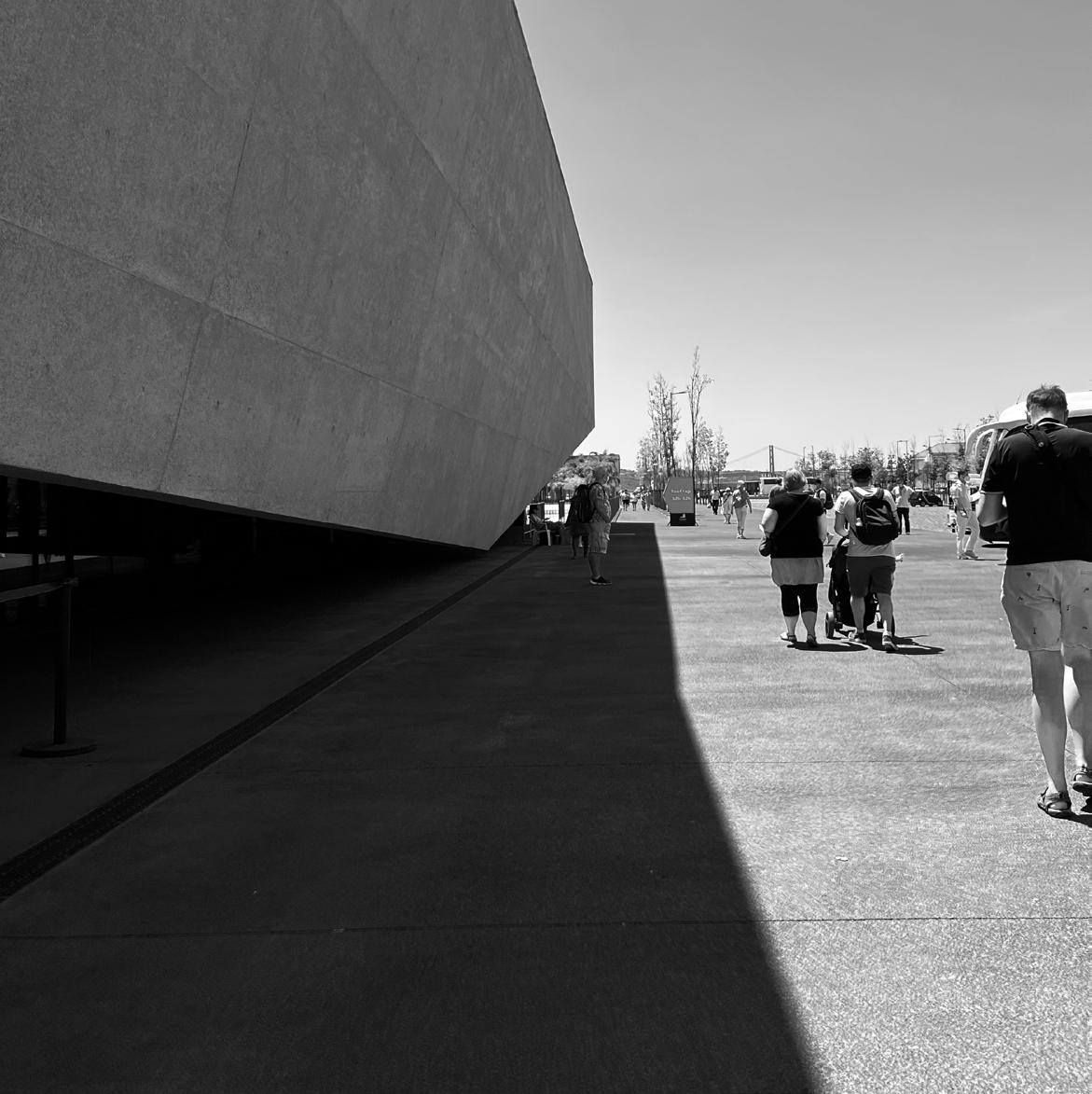 MARIA RAFAELA ARMOUTAKI

04.06
CASE STUDY ANALYSIS
Terminal de Cruzeiros
267
© Maria Rafaela Armoutaki
NEW LISBON CRUISE TERMINAL
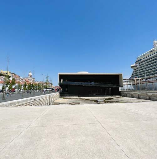
Carrilho da Graca Arquitectos + GLOBAL
Lisbon, Portugal 2017
Lisbon's new terminal cruise Station is an excellent example of urban regeneration. It was created by João Luís Carrilho da Graça, introducing into the surrounding area a unique project both in terms of design and structure. It is an experiential and urban history where the main theme is based on the relationship between the city and the Tagus River. The relationship between these two parameters had been of concern over the years as the great importance of the river gave rise to the imag inary continuity of the city through the creation of a natural harbor.
The large volumetrically compact building, with its basic geometry of rectangular,
has been created to allow the claiming of public space. The ingenious formation of multiple pathways within the building stock gives space to minimize the presence of buildings on the site allowing for more public use of the harbor area. At the same time, the different grouped green sections combined with the route along the sea that connects to the Lisbon seafront act as a reference point for the area and its guests. The experience that the surrounding area leaves to the visitor, is composed of a park on the river which serves and hosts various activities and purposes. As for the building that accommodates the terminal, it allows flexibility, both indoors and outdoors, while the landscape seems destined for public green spaces that are absent on this side of the city.
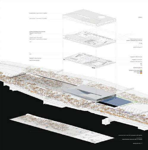
268
© Carrilho da Graça
© Rafaela Maria Armoutaki
Green and Blue Infrastructure
The former harbor landfill was designed under the principles of sustainability and urban regeneration to visually integrate with the foothills of the historic hill. The elevated building of the Lisbon terminal is opened in such a way that it is open to the city. In addition, sections are identified where efforts are made to enhance the character of the natural landscape through the tidal basin, the tree lines along the main road axis, and through the small green parks. However, the presence of paved paths dominates the majority of the study area. The materials that stand out if anything does not appear to be a continuation of nature despite efforts to enhance the greenery. The image of the public realm could have been designed with more emphasis on enhancing green parts available to the public. This is a fairly large area, where human presence deserves to dominate over branded cars. The small green sections accommodate several citizens daily while the recreational and other
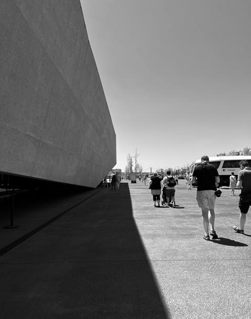

activity areas help to keep the area attractive.
Mobility
Looking at the overall result of the study area, it is understandable that a multitude of factors made it necessary to properly manage accessibility and mobility. Within the framework of a sustainable city, it was necessary to adopt policies around en hancing urban transport and reducing the dependency on private transport. First of all, the vehicle access roads between the main road and the terminal have been separated by a low-height barrier and parallel tree planting. Within the vast area where the terminal is located, gentle traffic management is promoted with long pedestrian and cycle paths.
269
© Source
© Rafaela Maria Armoutaki
© Rafaela Maria Armoutaki
Urban Cohesion
Lisbon's new terminal is located just down the hill from the historic Alfama district. The subtle contrast between the medieval composition of the busy neighborhood and the modern intervention in the space blend quite harmoniously. The building stock located behind the main road in front of the terminal can be considered quite run-down. Buildings purely abandoned or in unfavorable appearance dominate.
The exception of course is some which have been designed to serve tourist-friendly activities mainly around leisure. In a way, the area has benefited and helped further visual improvement through the project being investigated, as due to human mo bility for most of the day, the area remains vibrant from the hill to the seafront that connects it to Lisbon. Thus we conclude that its inclusion in the agglomeration can be considered successful. At the same time, it maintains the climate of the neigh borhood behind the terminal with a relatively healthy environment for residents compared to the busy nature of the urban area as a whole.
Despite introducing a modern and different element to the area and attracting more visitors, the identity of the area is maintained. Understanding the need for a more human-driven approach and at the same time as sustainable as possible, the MPN ( Metro Public Network), and its urban or non-urban interventions are undertaking a challenging journey towards the optimization of critical points for Lisbon.
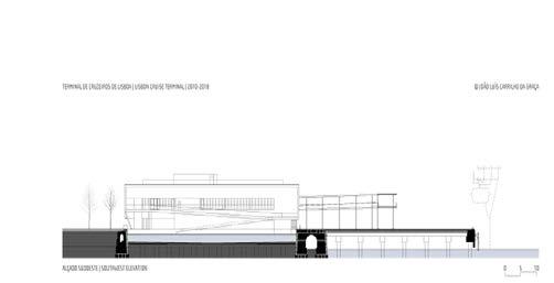
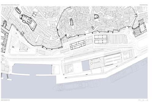
At the same time, accessibility is enhanced through the proximity to key public transport stations and bus stops are only a few minutes away from the terminal. In addition, sections for temporary car parking are provided at different locations to avoid their presence in the public space. In this respect, it is worth mentioning that it may be a positive sign (the presence of car parking spaces) in such a 'busy' area, but it partly creates natural discontinuities in vital sections that could have been designed more sustainably. The image of a mobility-oriented area does not continue behind the station to the outskirts of the Alfama neighborhood. There, mobility is less organized and the dominance of the private car is quite noticeable despite the easy access by public transport.
270
©
Rafaela Maria Armoutaki
References
Write these references according to the Chicago Style (Author-Date), see the details of this style here: https://www.chicagomanualofstyle.org/home.html. Make sure to also provide bibliographic details of the images you use.
271
CASE STUDY ANALYSIS
Parque Gonçalo Ribeiro Telles Praça de Espanha
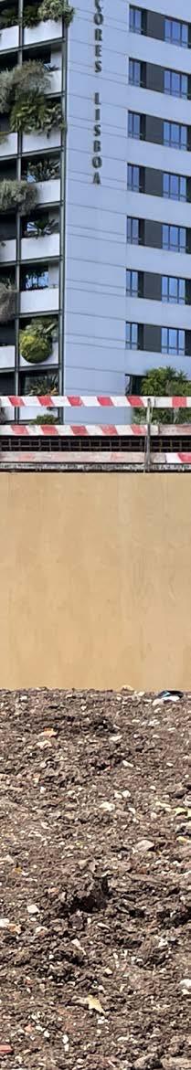
273 04.07
© Wim Wambecq AJ MALLARI
CaseStudyAnalysis
PraçadeEspanha
JARDIM DA PRAÇA DE ESPANHA NPK Arquitectos Paisagistas Associados
ThenewPraçadeEspanhaphaseditsopeningfrom2020and currentlyhasmadeaccessibleroughly80percentofitslandcoverage.ThesitesitsatthecrossroadsofAvenidaCombatantos, Gulbenkian,Aguiar,Dumont,andBernaandyet,despitebeing slicedoffbythesemajorthoroughfaresithasonthecontraryintertwinedwiththeadjacentpublicspaces.Thegardensatthe FundaçãoCalousteGulbenkianMuseumareapopularpark complexfrequentlyvisitedbylocalsandthusandeffectiveyardstickinmeasuringtheeffectivenessofcommonspacesinaddressingthecollectiveneedtobelong.Itcomesasaninstant questionwhetherornotPraçadeEspanhahastakenonaspects oftheGulbenkiangardenswhichworked,andthenextrudedit acrosstheavenueasasortofspilloverdesignstrategy,extendingthedesignformulaandcreatingaparkcomplex.Orwas PraçadeEspanhadesignedtobedistinctfromtheadjacentpark complexesabuttingit,fittedwithitsownprojectconditionsand vision?
MetroPublicNet
Artist’srenderofPraçadeEspanha,asimaginedfromabove
“Canpublicspacebeacommongroundtobuildametropolitanidentity?” OneofseveralguidingquestionsofMetroPublicNetand alsoitsmostpotent.Nothingquitecapturesacity’sidentitythanwhatislaidoutinitspublicspaces,asthelatterisused,experienced, appropriatedandsettled.Markersofownershipcomeinmanyforms,bothseenandunseen,andthecommunity’scollectivesenseof belongingtoitspublicrealmisthetruemarkofsuccessforanypublicspaceintervention.MetroPublicNetisresearchinghowthe publicspacescreatedinLisbonpostExpo‘98andespeciallytheprojectsthathavebeenreceivedsomeformofEUfundingscheme havehelpedshapeaspectsofLisbon’sidentity.Withpromptssuchasthequestionsstatedearlier,itseekstolookathowpublicspaces canhaveawideranddeeperimpactonthegreaterLisbonterritoryacrossscalesandtime.PraçadeEspanhaisoneoftheprojects borneoutofMetroPublicNet’smandate,inasenseitsanapplicationoftheongoingresearchwhiletheresearchitselfisstillwellunderway.Whatitgivesthepublicisacontinuouslyiterated-onformofpublicspace(andpartnership)projectsthatareproductsofa researchfeedbackloopbetweenagenciesconvenedbyMetroPublicNet.
6HectaresofConnectivity
PraçadeEspanhaisnowtoutedasoneofLisbon’smajorparkcomplexes,evenbiggerthanJardimdeEstrela,apopularpublicspace intimatelyembeddedinthesocialandurbanfabricofdowntownLisbon.Theparkwasredesignedtofacilitatesimpleandquickmobilityfunctionsinsuchacrucialnodalpoint/convergenceoftrafficsimultaneouslyprovidingalmost6hectaresofgreenspace.

274 24
©lisboa.pt
Thenewbusandcycleroutesarounditsperimeterplugintotheolderlanesservicingprivatevehicles.Thewalkwayswhichflowalongsidethevehicularlanesandintotheparkwindtheirwayaroundtheperimeterandmeanderintothepark,ensuringanunimpededsoft mobilitycontinuum.Thewalkitselffindsadifferentdesignedexperienceasittransitionsintotheparksystem,fromthebusyavenuesit quietsdownaspedestriansalightthroughthemanyentrancestotheinnergardens.Thebusstopsarelocatedalongtree-covered islandswhichlooklikeextensionsoftheparkatitsnorthernedgeadjoining AveniaPinheiro. Togetthere,thepedestriancanwalkon eitheramblingpathsormorestraightforwardaccesspointswithinthepark.Overall,thelocationoftheparkatabusycrossroadisits mostdauntingchallengetoitsprogrammaticfunction,butwasinsteaddesignedinasakeyidenitymarker.
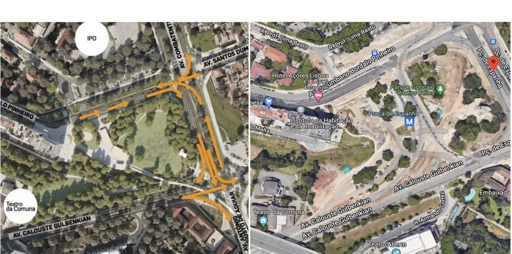
APlacetoGather
Whiletheparkdoesseemtobecharacteristicallyatransitionspaceitalsogenerouslyoffersawiderangeofspacesforpeopleto gather.Attheheartoftheparkarestretchesofopenandcoveredexpanseswithseatingprovisionsmostlyinsocio-petalarrangement encouraginginteractionamongindividualspartakinginthespace.Semi-isolatedplacesformoreprivatereflectioncanbefoundalongsidesocialspacesalthoughtheyaremostlylocatedintheopenwithtreecoveraspartialscreen.Thetwosemi-enclosedpavilionsare locatedrightinthemiddleandalongapedestrianaxisfollowingtheridgeofarenaturalizedcanal.Andsothespacebetweenthe pavilionandthecanal’sedgeservesasthegatheringpointcompletewithconcreteparkbenchesandthemorenaturalalternativeof sittingonthegrass.Thewesternedgeoftheparkwhichslithersbetweenahillthatleadstoacarparkaboveandahospitalitytowerto therightisasliverofgreenerywiththesamecanalflowinginthemiddle,thistail-endoftheparkisamoreintimategatheringspace thatissimultaneouslycontemplative,andyetanotheralternativetoexittheparkandintothestreets.
275 25
AerialviewofPraçadeEspanhaAfter(Left)andBefore(Right)theintervention.
©lisboa.pt
AcrossallLisbonparks,particularlythoselocatedalongsidewaterbodies,onecangleanastrongcultureofcollectivegatherings.Birthdayarecelebratedoverpicnicsblanketsassoonasthe weatheroutdoorspermitit.Andsoallthroughoutsummerthe parksholdsuchaseminalfunctionasthebackdropforthefullest unfoldingofeverydayurbanisms.
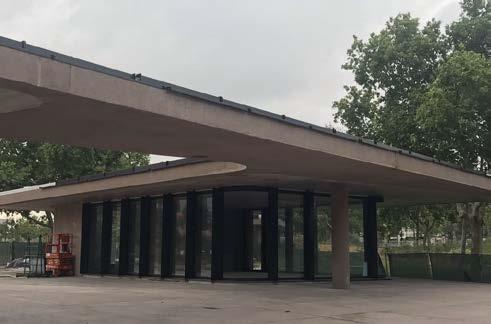
PotentialEverydayUrbanisms
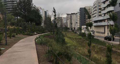
Apartfromthepavilionsandbenches,theopengrasscover takesupalmost30percentoftheparkandservesmanypurposes.Therewouldbefootballmatchesonedaythenfrisbee tournamentsthenext.Andwhilethesedynamicactionstake place,morelanguorousactivitieshappenside-by-sidefromtandemsoutonadatetofamilypicnicsespeciallyprevalenton Sundaymornings.Walkingandrunningpathswindalongwith thesoftrollingtopography,thesepathsbothconnectandmark theboundariesofeachprogram.Therangeofeverydayurbanismsismanifold–asitshouldbeinspacesmeantforittobefully expressed.Astheparknearsitscompletionabiggerpictureof whatitcouldplayhosttobecomesmorevivid.Butwhilefulloperationscouldonlytakemonths,thenewlyplantedcoverofwell appointedsoftscapeswilltakeyearsbeforeitreachesitsfullexpression.Howthenwouldthedailyurbanismstakeshapeasthe tresgrowtaller,shrubsthickerandgrasswilder?
AMissedOpportunity
Asfarasrecreationisconcernedmanyparksaroundtheareaare wellequippedforthepurposeandindeed,somehavemaintainedahealthyreputationforit.Thiscallsintoquestionhow PraçadeEspanhacouldhaveorienteditselftohybridfunctions, clubbingrecreationwithsomethingelse,somethingurgentlike urbanfoodsecurityforexample.ForwhiletheGulbenkiangardenscanbecreditedforprovidingabeautifulsylvanoasisinan alreadygreenneighbourhood,ontopofthegroundsbeingan extensiontothemanyartisticandculturaleventswhichtake placeindoors,PraçadeEspanhacouldhaveprovidedanimperfectparallel-bothasarecreationalspaceandasaproductive landscape.
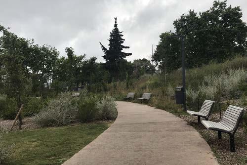
276 26
Above:Perimeterwalkingpaths.Below:Westernedgeofthepark Pavilionunderconstruction
©AJMallari ©AJMallari
Thepotentialforurbanfarmingintheparkcannotbeeasilydiscountedasitis,afterall,locatedinadensemixed-useareapeppered withpredominantlyhigh-riseresidentialbuildings.Itcanprovideamplespaceforimmediatecommunitytobeabletofarmwhichis alreadyarealityinsomepartsofthecity.Theconceptofurbanfarmingcanfindanewiterationhere.Extrapolatingthisfurther,oneof thepavilionscouldfunctionasamarketsellingproduceexclusivelygrowninthepark.Withthedirectedpedestrianandfoottrafficfrom fromthemeshofmobilitynetworksaroundit,itwillnotlackclientele.Allitneedsisastraightforwardservice,space,andsystemstrategy thatlinkstheparkandthepeoplethroughfarming.
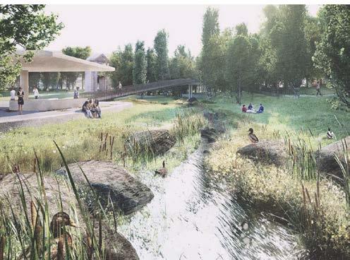
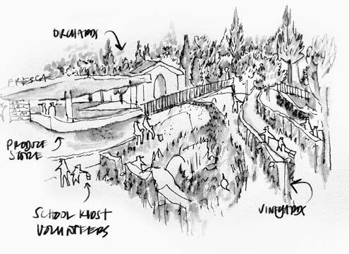
APieceofaGranderPuzzle
Whatthishighlightsisthatthereisapossibilitytocreateametropolitanidentitythroughpublicspaces,echoingbackoneofMetro PublicNet’sresearchprompt.Thekeyperhapsisinthecalculatedweavingofgeneralandmorespecificfunctions,aswellasanuanced layeringofprogramsbasedonlocalneeds.Variouspermutationscancomeoutofacalibratedandmethodicalreadingofthesite. Potentialscenariosinclude:askatingparkthatwindsthrougharenegotiatedoliveorchardontheslopes,anoutdoorgymonthe groundsofaseniorhomewhereyouthsareinvitedtoexerciseforfreeinexchangeforinteractingwiththeelderly,anopenconcept flowernurseryrunbyahorticulturalcooperativeandmaintainedbyanon-profitprovidingemploymentforthedifferently-abled.PerhapsPraçadeEspanhacanbeenvisionedfurtherasafarmparkforlocalchildrentolearnfoodsystemsasanafterschoolactivity?6 hectaresisamplespacefordiverseprogrammaticcombinationsthatwhich,intheend,whenputtogetheramplifyitasaplace,andnot justasaspace,forpeople.Byallowingfortheadaptationofofparkfunctionstolocalneedswhilesimultaneouslyexercisingacity-wide publicspaceagendaeachparkinLisbonactsasadistinctindividualpiecesthatfitsperfectlyinthegranderpuzzlethatistheLisbon metropolitanparksystem.
Arenderoftheproposedpavilionandadjacentspaces
AreimaginedPraçadeEspanhaasaschool/teachingfarm
277 27
©lisboa.pt
©AJMallari
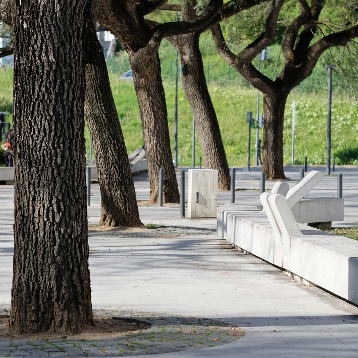
CASE STUDY ANALYSIS
Praça da Fonte Nova
279
04.08
© Wim Wambecq
TAHMID SAURAV
TAKI
PRAÇA DO FONTE NOVA
Rapid urban growth during 20th century triggering the shift of transportation bias over habitation resulted in unsustainable formation of planning in different forms all around the globe. The public square, Fonte Nova at Northwest Lisbon is one of those interventions which has been through various transformation over the time. Till mid 20th century the area being a farming land, the site was divided into two by a road (Estrada de Benfica) and later another flyover (Ra dial city road) right through it. Gradually the transportation infrastructure took over the farming land and became a parking spot to support the industrialized society. For over 50 years the area was being dominated by roads and cars, later in 2015 Lisbon city hall introduced an urban regeneration plan for this area in order to shift the notion towards focusing more on people and nature rather than mobility infrastructures.

The project was carried out by José Adrião Arquitetos and completed in 2017 where the initial agenda was to reduce the parking areas and create an extended public square which would response to soft mobility and leisure. The existential attributes of the trees – “tipuana-tipu” provided natural canopy for the space and the design intervention used that even to strengthen the eco-system by letting them more space to grow. Not by focusing on a specific socio-economic group or the proximity neighborhoods, the proposal integrated different kinds of ac tivities to make it more inclusive to the society.
Focusing on the landscape structure, alongside the existing trees, different patches of green islands were introduced with seating and relaxing provisions. One of the most significant element is the variation of concrete benches with different back inclination which allows various kinds of leisure activity. To in duce multiple urban activity, there are kiosks serving as stores and restaurants, dog park and playground. Other than being intersected by two major roads, the square surrounds couple of dense neighborhood which have a massive impact on by this intervention.
José Adrião Arquitectos
2017
Multiple parks for different use, 2017
280
Arial View of Fonte Nova,
©
© Archdaily
Archdaily
Green & Blue Structure
The material use of the pavement areas followed the traditional “Vidraco” stones and reused the existing design patterns of the site. But as structuring the landscape could have been more emphasized. While for movement and accommodating various ac tivities the hard surface is much more convenient for maintenance, though it is dominantly over-ruling the green structure of the square. The notion of public square could be a park system which would regenerate the historical ambience of the farming land as the human habitation could co-exist with the natural system once again. Every activities are accommodated by surrounding the green patches by benches, while focusing on the natural system it could be integrated within the system.
Landscape entities & the public space, 2022
On the other hand, the existing canopy trees and landscape structure are confined within the square which does not exceeds the boundary. Multiple neighborhood around the square are in close proximity to it but they are not a part of the systematic network. So each neighborhood’s community spaces are acting as a individual entity rather than a system.
281
© Taki Tahmid
Mobility
Previously used the square area as completely parking spaces and roads, the in tervention in 2015 was visionary to reduce the parking by 50% and squeezing the road width to introduce softer mobility system. In terms of connectivity to the square, there are bus stops at each corners to commute from different parts of the city. As mostly privately owned vehicular city, parking spaces are crucial to consider, yet the placement of the parking space could have been different so that it does not interfere in midst of the square and most possibly out of the sight. Due to the access to the parking lot and the Fontenova commercial and residential complex, the cars still run through the square though in a very subtle manner.
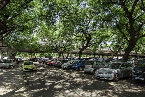
The vehicular access roads have been separated by low height barriers while it could be oriented by the landscape structure to separate this functional aspect. Around Lisbon, there can be seen certain promotion of biking by introducing bike lanes, but barely any bikers can be seen. In this public square, there is also a dedicated bike lane which suddenly stops at the edge of the road. On the next block another biking trail starts again. People would not necessarily have a bike or ride a bike inside the square if the soft mobility system is not fully structured spreading everywhere. Just like the biking lane in front of Loures shopping mall is another example of segregated intervention of soft mobility.
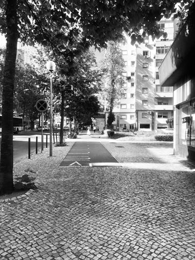
282
Parking area inside the square, 2017
Discontinuation of soft biking lane, outside of the square, 2022
© Taki Tahmid
© Archdaily
Urban Cohesion
The primary intention of the project implies heavily on urban integration. Reducing the parking and re moving the roads have lead to a healthy urban environment to the adjacent neighborhoods. Other than that multiple activity zones including restaurants have induced new habitation quality in the area.
Hence the scale of this square along with the large commercial complex and the roads dissecting through it barely incorporates the residential tissue. The only residential part that is directly connected to it is the eastern block where there are multiple restaurants without significant landscape system. So the question remains about the intermediate scale of integration of the habitation of the neighborhoods.
The via-duct dissecting the square and the parking, 2022
Over the period of time, the understanding of city and urban is changing to adopt the best possible solution for co-habitation within the natural system. Praca do Fonte Nova is a tremendous exercise to embrace this shift in no tion. The interventions from Metro Public Net are crucial for Lisbon and can be determined as the starting point of something better. Connecting all the projects as a net work system of urban regeneration focusing mostly on natural landscape system can change the habitation quali ty within Lisbon in no time which can barely be imagined at this point.
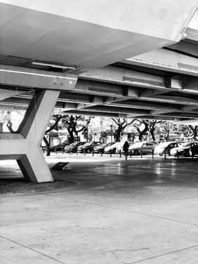
283
Various concrete benches at Praca do Fonte Nova, 2022
© Taki Tahmid
© Taki Tahmid
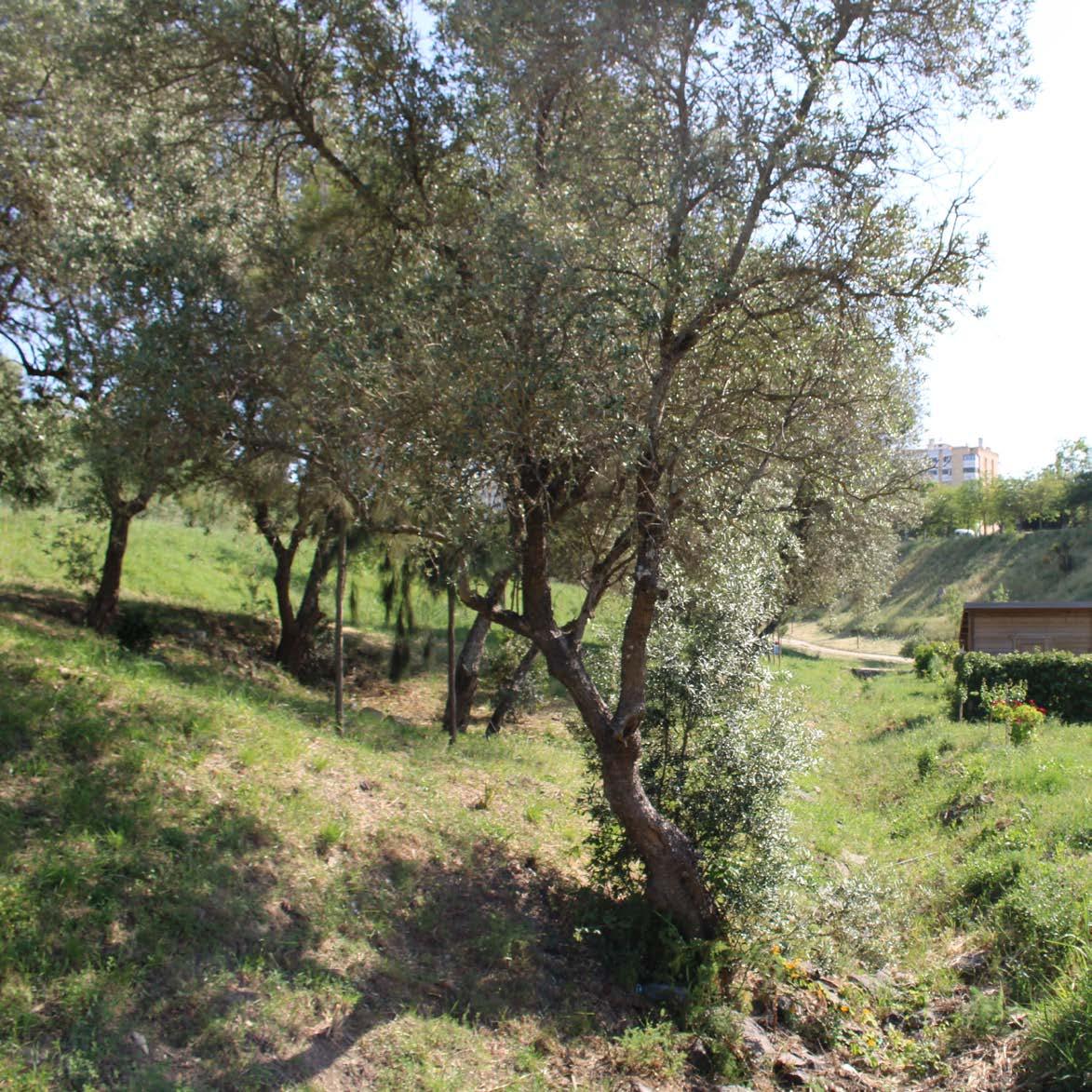
CASE STUDY ANALYSIS
Parque Urbano do Casal Vistoso
285
04.09
© Yasmine Baamal YASMINE BAAMAL
PARQUE URBANO DO CASAL VISTOSO
The 1998 World exhibition that took place in Lisbon was an important milestone for the conception of public spaces in the city. It has triggered thinking the pub lic space in the metropolitan scale. In this context, MetroPublicNet was founded in 2021 to conduct research and explore how public spaces have been perceived and experienced since the expo, and how a metropolitan perspective can be more appropriate to respond to current challenges, namely “environmental resilience, low-carbon mobility and territorial cohesion”(MetroPublicNet, n.d.). Metro PublicNet explores public space as a response to urban challenges, and defend a consolidated identity of the metropole, through the network of public spaces. By looking closer to the case study of the Casal Vistoso urban park, we would like to understand in this essay to what extent does the project respond to the main urban challenges facing the metropole of Lisbon, as identified by MetroPublicNet, and that are articulated around the green and blue infrastructure, low-carbon mobility, and territorial cohesion? And to what extent does this project contribute to a co herent and integrated territorial network?
The urban park of Casal Vistoso is part of a large network of green spaces in the east part of Lisbon, that aims to create a connection with the riverside area in Mar vila. The program named Corredor verde Oriental (the Eastern Green Corridor) covers an area of 150ha in total (Fig 1). Within this large scale, the Casal Vistoso park, which extends over 10ha, acts as an important element that structures and shapes the landscape figure. It consolidates the already existent parks: the Parque Urbano Vale da Montanha and the Parque Canino de Bela Vista. The park is situated in a steep valley, between two plateau occupied by high density neighborhoods in the East and West, while the Arreiro tain line delimits the site from the North, and the Afonso Costa Road defines the South limit of the park.
The green and blue infrastructure
The design of the park tries to address the blue and green challenges in order to provide the most adequate response. In terms of green intervention, the design seems to respect nature and biodiversity, the priority was given to native species of trees and shrubs, and no heavy infrastructure has been implemented, concrete surfaces are very limited on the site, except for the bike path, while the pedestri
Map of Lisbon green corridors, 2020
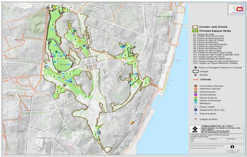
Map of the Corredor Verde Oriental, 2020
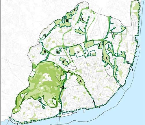
286
© Camara municipal de Lisboa © ECCA2019
an paths are made of permeable material (stabilized sand). The vegetation trans formed what was considered a leftover space, hard to urbanize because of the to pography, into a space of quality, a green lung for the inhabitants that becomes part of the neighborhood. As part of the Corredor Verde Oriental project, the Casal Vistoso park at the same time strengthens and is strengthened by the surrounding parks, especially the more immediate one, the Vale da Montanha park. The green structure acts as an important landscape figure that patches the urban fabric to gether, and constitutes a large green space within the city.
The park also has a horticultural area that acts as a community garden where res idents can cultivate types of vegetables and plants. It contributes to the develop ment of urban agriculture in addition to improving neighborhood relationships. This could be an interesting model of experimenting how urban settlements and agriculture can go together, especially that it involves the direct participation of the inhabitants in the public space. Further data analysis of the organizational struc ture and type of production will definitely set guidelines for imagining a potential extension of these type of community gardens.
As for the blue infrastructure, the contributes to the resilience of the area against flooding. Indeed, there is a wadi all along the park that can channel the excess of water and retain it in the depth of the park, protecting the settlements on the pla teau from being flooded (Fig 2). Although not always present, the design gives to the water the space to flow, and give opportunity to experience the site in another way. Given the amount of information at my disposal, it is hard to tell whether this system is resilient enough, and whether the park can really be acting as a retention pond that prevents urban settlements from flooding.
287
© Yasmine Baamal
General map of the site, 2022
Photo of the wadi, 2022
© Yasmine Baamal
Walkability and active mobility
Beyond the environmental considerations, the Casal Vistoso park has been thought also as a solution to a mobility problem. Indeed, the train line from the north side, and the topography from the east and west sides constitute a strict boundary that isolates each part. The different pathways implemented enable to cross these boundaries by mobilizing soft mobility logics, which implies pedestrian walkways and bike tracks. The paths follow the shape of the topography, and an important slow pedestrian and cyclist bridge connects the Casla Vistoso park to the Vale da Montanha park. In the scale of these two large park figures, the train rails become blurred and do not act as a rigid separation anymore, which reduces the noise and visual pollution that are generally associated with it. We can observe that the system of pedestrian and cyclist pathways connects the housing units in the east to the park, while the buildings in the west are hardly connected. Only one pedestrian path in the north edge was designed, while we can read the traces of a new path, created not by the designers but by the users of the space. This is another example of how the users of the public space adapt, appro
priate and shape the space according to their needs. As for accessing by bike, one has to exit the park then access from the road to reach the blocks in the west, which also raises the question about what happens to the bike way outside the park. In order for this system to function, it needs to be carried in a bigger scale and cover the city.
On another note, the park is well connected to the rest of the city through public transport. It is accessible from the train station, only 10 min walking, and the bus stop is at the south entrance. Although the Afonso Costa is a road with a lot of traffic, the large green strip acts as a buffer that reduces the impact of the cars flow.
288
© Yasmine Baamal
Bridge linking Vale da Montanha park to Casal Vistosa Park, 2022
Neighborhoods connection and cohesion
The park is a collective public space that brings together the surrounding neigh borhoods and gives space for community bonding around that space, which con tributes to the social cohesion. There are different types of residential develop ment around the park, from the high housing unit blocks, to the middle height row buildings. Within this high density, the park is an open space that allows the residents to have a promenade and breath fresh air. It is even more strengthened by the sport facilities available around, such as Casal Vistoso sport complex, a rugby stadium, as well as football and tennis fields, but also the social oriented infrastruc ture, mainly the CML social services building. Besides, the park, since its construction, has been contributing to social cohesion. Indeed, it involved the participation of many volunteers that participated in the planting interventions (Planting Trees in the Urban Park of Casal Vistoso - MU NICIPALITY of LISBON, 2017). The community gardens also act as a bridging element that brings people together and create feeling of identification and belong ing through active participation (Fig3).
The city of Lisbon has mobilized important efforts to invest in public spaces in order to face the different urban challenges. The strategy to develop green spaces as a network in the metropolitan scale seems to be an adequate approach, that ensures the equitable access to these public spaces and puts at the forefront the environmental concerns. The Parque urbano do casal vistoso, with its biodiversity and its water management logic, plays without a doubt an important role within the Oriental green corridor and contributes to decrease the heat island effect and enhance the resilience of the city. One could argue whether there could be more urban furniture or activities happening in the park, but in the idea of imagining it as part of a network, we could imagine that these different parks have different atmospheres and functions that complement each other. Besides, the park shows the intention to implement slow mobility but it still needs to be extended in order for it to become a system. Finally, the park succeeds to strengthen social cohesion through the horticultural park and the pathways that weaves the urban fabric to gether.
Conclusion
References
Duarte d’Araújo, Mata. 2019. “Lisbon Expands Its Green Systems as a Cost-Effec tive Climate Tool.” 2019. https://www.ecca2019.eu/lisbon-expands-its-green-sys tem-as-a-cost-effective-climate-tool/.
“Lisbon City Council, Environment, Ecological Structure, Eastern Green Corridor - MUNICIPALITY of LISBON.” n.d. Accessed June 4, 2022. https://www.lisboa.pt/ cidade/ambiente/estrutura-ecologica/oriental.
“MetroPublicNet.” n.d. Accessed June 4, 2022. https://metropublicnet.fa.ulisboa. pt/.
“Planting Trees in the Urban Park of Casal Vistoso - MUNICIPALITY of LISBON.” 2017. 2017. https://www.lisboa.pt/atualidade/noticias/detalhe/plantacao-de-ar vores-no-parque-urbano-do-casal-vistoso.
289
© Yasmine Baamal
Photo of the horticultural park, 2022
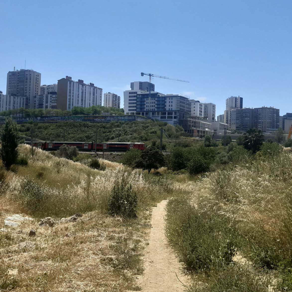
CASE STUDY ANALYSIS
Parque Urbano do Vale da
Montanha
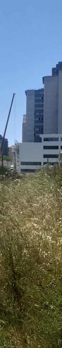
291
04.10
© Aliki Tsouvara
ALIKI
TSOUVARA
PARQUE URBANO DO VALE DA MONTANHA
Reclaiming the Valley Lisbon, Portugal, 2018
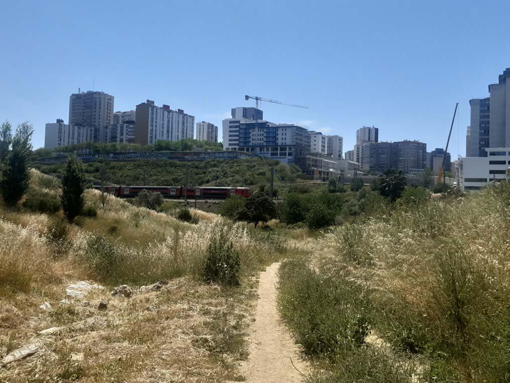
292
Critical Reflection within the frame of Metro Public Net June 2022
One could look through end examine the project of Parque Urbano de Montanha through two scales; one is the territorial scale of the Lisbon area and the project as part of greater urban intervention, while the other one requires a closer look on a neighborhood scale.
The intervention area, with approximately 120.000 m2, is located in the municipality of Lisbon, in the parish of Marvila, between Avenida Marechal António Spínola (to the northeast), Avenida Almirante Gago Coutinho (to the west) and the train line from Sintra (to the south). It develops on a hillside, in the valley between Casal Vis toso and Bela Vista Sul Park, it is an integral element of the system of the Green Corridors of Lisbon and specifically of the Eastern Corridor (Corredor Oriental de Lisboa) (fig.1). The Green Corridors System associates the ecological structure with a metropolitan scale and aggregates consolidated or to be consolidated public areas. The objectives of it include achieving a solid structure and a sustainable urban system in the city of Lisbon; a recre ational continuity, which at the same time preserves natural, environmental and heritage values. Given the case’s proximity to Parque da Belavista and the large area it occupies, it is considered an important structural element for the continuation of the implementation of the Eastern Green Corridor (fig.2), through the extension of Parque da Bela Vista, con verting what was once a space without any kind of use, abandoned and expectant, in an Ur ban Park. The space occupied by Quinta da Montanha was once an area where farms and vegetable gardens predominated and for decades it was occupied by illegal constructions. The progressive demolition of these buildings resulted in a degraded place, with residues of plantations from the old farms and dispersed spontaneous vegetation. The landscaping and environmental requalification of this previously degraded area now provides ample green space for walking, served also by a bike path The naturalization of drainage lines, promot ing both the flow and infiltration of rainwater, restores the hydrological circuit of the valley.
Figure 1. The System of Green Corridors of Lisbon. Source: https://www.ecca2019.eu/ lisbon-expands-its-green-system-as-a-cost-effective-climate-tool/
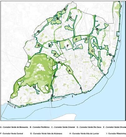
Figure 2. Corredor Oriental de Lisboa and the Parque de Belavista. The site is located next to dense residential areas. As part of the greater ecological structure of the Eastern Green Corridor it has the potential to relieve the neighborhoods in close proximity, offering open green spaces but also function as a connection point of crossing the valley.
Source: Author, 2022.
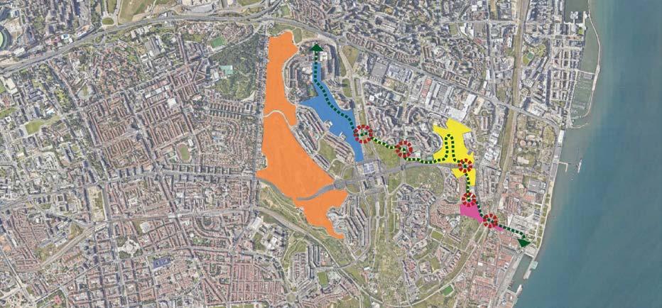
293
The creation of the Urban Park took into account several objectives, such as the protection of the soil and the hydrological cycle, as well as responding to the leisure needs of the local population, in continuity of the recreational spaces of Parque da Bela Vista.
The Quinta da Montanha project is based on the creation of an urban park that contains recreational and leisure spaces and the execution of a network of routes and paths that establish the connection between the different areas of the park. It is also a visual and acoustic barrier and a transition point, right next to the Avenida Mare chal António Spínola and the railway line.
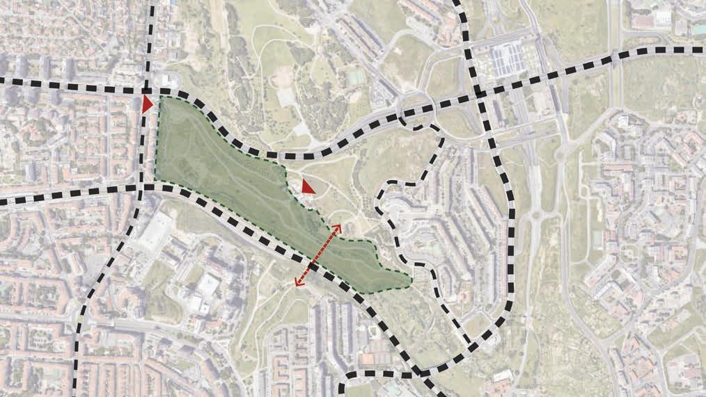
Figure 3. An urban park among highways and railway lines. The access and the cyclopedal crossing. Source: Author, 2022.
The proposal includes two squares on the two main accesses to the Urban Park of Quinta da Montanha, in which the offer of equipment is concentrated. In addition to the squares, the park has a car parking area; areas of clearings and woods for informal recreation and some support equipment, such as children's play, benches, garden tables for snacking; a kiosk.
294
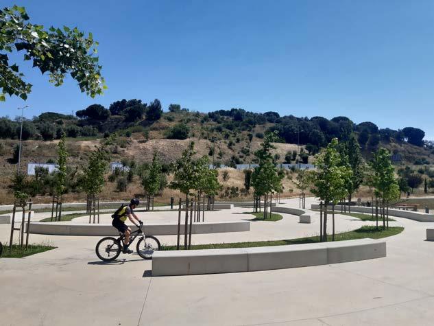
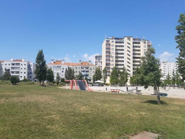
295
Figures 4, 5. The square welcoming the visitors into the urban park. A transition between the urban fabric and the valley. Source: Author, 2022.
The arrangement of trees in the squares seems to reinforce the concentric shape and character of places of interest, open perspectives over the valley, mark contrasts between textures, colors and volumes for the aesthetic enjoyment of users, creating shading and protecting from the noise of the surrounding roads. In the remaining areas of the Park, the intention is to emphasize the green structure, creating masses with the already existing trees, to punctuate the significant spaces of the Park. In the mid-slope areas, large clearings were also created, surrounded by arboreal and shrubby borders, next to the main artificial barriers.
So the design of the case aims to give continuity to the recreational spaces of Parque da Bela Vista, responding to the leisure needs of the population, through a network of paths, passive and active recreational spaces that arise along the various paths that run through the park. It is a project of a public green space, whose design responds to the needs of the place in which it is inserted and of the inhabitants who will ex perience it.
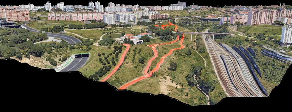
Additionally to its function as an urban park, the Parque Urbano de Montanha, plays an important role as a link with other green spac es that are part of the Corredor Oriental de Lisboa as mentioned be fore. It values and promotes the function of the general green structure through the establishment of recreational activities, the enhancement of biodiversity, the flow of natural energy, the connection among places that were once isolated and inaccessible.
Figure 6. The park paths, the squares, the connection pedestrian bridge. The spaces in between consist of mild slopes with native vegetation that cannot be crossed. Source: Author, 2022.
Figure 7. A connecting valley between heavy infrastructure in a densely inhabited area. Source: Author, 2022.
296
The Parque Urbano de Montanha is a public space that activates a previously abandoned area, a no-place occupied by hard infrastructure. It sets the example of how vast, empty in-between spaces can be utilized with small interventions and be designed to be crossed and to connect instead of standing as dividing voids in the city, that fracture the urban fabric. Our cities are bundles of infrastructure that usually serve vehicle movement and are not meant to be crossed or used by users of soft mobility. The urban park illustrates not only how nature, infrastructure and public space can co-exist, but how the have the potential to bridge disconnected neighborhoods and areas. The space, transformed into not just a crossing but a new space of commons, is no longer an in-between area with no use or character but has been evolved into a public space with ecological value that can contribute to the everyday life of the users and the city.
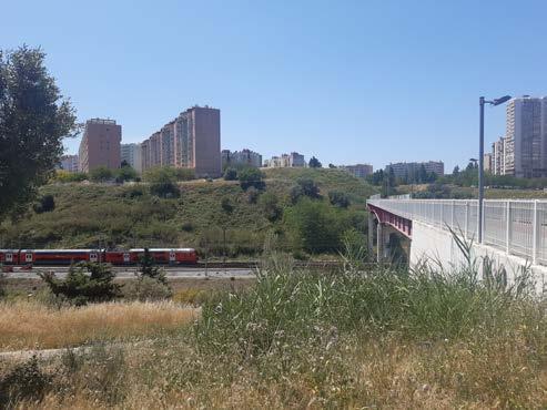
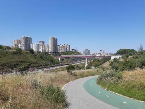
Figures 8, 9, 10. The valley as a connection between opposite hillsides. Source: Author, 2022.
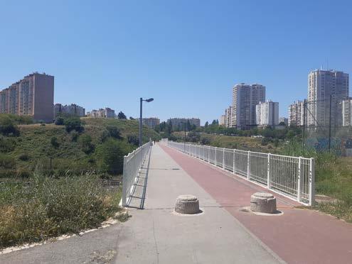
297
04.11
CASE STUDY ANALYSIS
Parque Ribeirinho Oriental do Braço de Prata
299
© Samantha Arborente SAMANTHA ARBORENTE
PARQUE RIBEIRINHO ORIENTE
New Waterfront Park
The Parque Ribeirinho Oriente is an award-winning public waterfront park which showcases the possibilities of adaptive reuse of abandoned places. Located in be tween the district of Braço de Prata and Parque das Nações, this project is envi sioned as a new tourism strategy aiming at the vision of achieving biodiversity by connecting the Tagus River and the city. The F|C Landscape Architecture studio conceptualized this plan to be deeply related to its traditional roots by understand ing the existing identity concerning the site in proximity to the water, the green spaces nearby, and current activities held inside the current neighbourhood.
Designed to be a 4-hectare revitalization project, with a 600 m stretch at Tagus’ riverfront, the new open space addresses the following main challenges, (1) sand wiched in an industrial area and (2) with the lack of access to public green areas. Incorporating the existing identity, fishing activities, and industrial activities had been crucial for the conceptualization to retain the urban identity of the site and plans for expansion of the said scheme. According to the details mentioned by the Lisbon City Council and as shown in Figure 1, the said development is divided into two phases of construction. The highlighted area, phase 1, was completed in 2020 while phase 2 was intended to extend the existing phase 1 to the Parque das
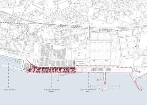
The historical district of Braço de Prata
“Urban forms are a direct reflection of the area’s own social, economic, political and natural dynamics.” From the study of Yagci and Nunes de Silva mentioned that although East Lisbon is now one of the successfully exposed districts for ur ban regeneration projects, Braço de Prata was first neglected by developers due to its site characteristics of being surrounded by abandoned industrial buildings, unaffordable prices, and redirection of priority and focus on the city center (Pog gemann 2020).
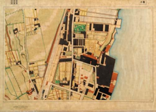
Back in 1902, the mentioned district was one of the significant areas of Lisbon as it was declared by a Royal Decree to build gun factories in Marvila District and became an industrial zone. Almost ten years later, the district was defined as a combination of industrial and residential zone due to its proximity to railway and urban farms (Figure 2). However, during the construction of the Expo 98, the fa mous gun factory in Braço de Prata was closed which led to gradual abandonment of the site. (Yagci and Nunes da Silva 2021). Today, anticipated to become a creative and cultural neighborhood with integrated projects such as the Parque Ribeirinho Oriente, co-working spaces, and museums, Braço de Prata will be molded to a new
Fig.1: Phase 1 and Phase 2 of the construction
Fig.2: Braço de Prata in 1911
300
© Biennal Internacional De
Paisatge Barcelona
© Yagci Eser and da Silva Fernando
FC Arquitectura Paisagista
The river and the landscape
Alongside the development of the waterfront in the Expo ’98, “Returning Tagus River to the inhabitants” was conceptualized by the Municipality of Lisbon to pro pose several riverside transformations, incorporate leisure spots, and water enjoy ment in various areas. Parque Ribeirinho Oriente is one of these riverfront pro posals (Ochoa 2022). Focusing on the green and blue networks, three main design observations can encompass the said project after the site visit. The park responded to the following: (1) enhancement of permeability to address climate change, (2) management of environmental accessibility, and (3) promotion of nature-based tourism.
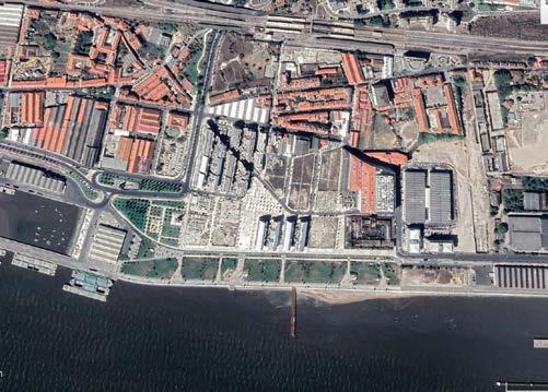
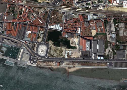
Figures 3 and 4 below provide a clear interpretation of the evolution and conver sion of spaces within ten years, 2012-2022. Removing the physical barrier of these impervious roads and the rotunda on the west side of the park, the green space is extended and encouraged permeability on the whole site. The rainwater catchment method of allowing water to move through the converted green space, not only resists erosion but also retains water. During the site visit, vegetation mapping was observed throughout the strip. According to the Biennal website, one of the plant ing strategies was to use the most native species of Lisbon. This decided to recover potential environments with the familiar setting. Choosing local vegetation can support the environmental and economical self-sustainability of the park due to its low maintenance characteristics (Biennal n.d.).
While visiting the site, the botanical richness is seen through the variety of heights, colours, textures, and patterns from the grasses, shrubs, trees, and flowers planted surrounding the site (Figure 5). The park also created a new role as green corridors for animals which improved the habitat on land and restabilized the environment for birds living nearby Tagus River (Figure 6). This has also been an additional recreation component for its people. Looking around the site, playgrounds (Figure 7) and monumental features (Figure 8) are also observed to be incorporated in the
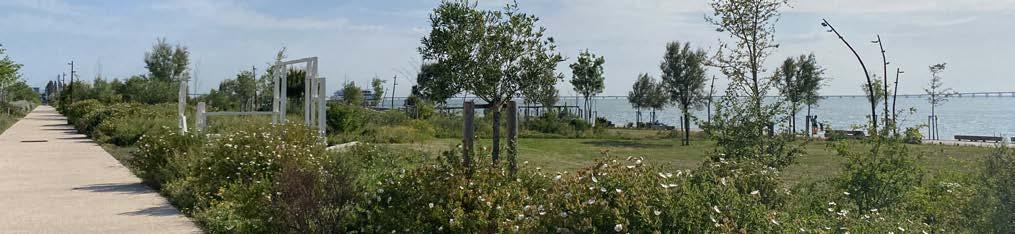
301 © Samantha Arbotante
Fig.3: Braço de Prata in 2012
© Google Earth
Fig.4: Braço de Prata in 2022
© Google Earth
Fig.5: Variation of landscape elements in the Park, Lisbon
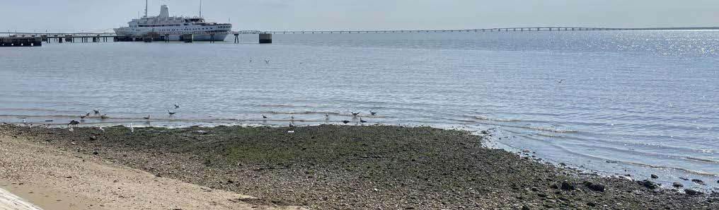
302
© Samantha Arbotante
Fig.6: Birds on the coastline, Lisbon
© Samantha Arbotante
Fig.7: Playground in middle of landscape (by TOPIARIS Landscape Architecture)
© Samantha Arbotante
Fig.8: Sculptural pieces around the site, Lisbon
On Connectivity and Mobility
Varied proximity between different transportation modes played a key approach in exhibiting an inclusive urban environment identity for the park. Creating a cleaner and traffic-controlled environment by way of reducing exposure to pollution is one of the relevant changes observed. First, the park mainly discourages cars inside the area as the entrances are bounded by bollards as to create clear division while not disturbing the vista (Figure 9). Also, the Av. Infante Dom Henrique road and R. Cintura do Porto are the only options of roads to use in order to drop and arrive in the Parque Ribeirinho Oriente. Parking areas are not found within the park and as an alternative, the nearby abandoned dock of Doca do Poco do Bispo is currently being used by visitors instead (Figure 10).
For people using the public transportation, it would take around 15 minutes of walk from the nearest Braco de Prata train station to be able to reach the site. On the other hand, riding bus routes 210, 728, and 781 could reach Fábrica Braço Pra ta, R. Fernando Palha, and the Matinha, the adjacent bus stops within the vicinity, to arrive on the site. After reusing an old railroad into a more sustainable mobility lane, this had created a more accessible relationship towards the water. Walkable and cycle-friendly options along the whole stretch of the waterfront solved by the designated paths for pedestrian pathways and cycle lanes had created a safer move ment for everyone (Figure 11). Bicycle parking is well-provided in all sections of the site. These features enhanced the overall accessibility of the place.
However, as the current project has only implemented the Phase 1, most of the bicycle lanes were only seen in limited ranges and this disconnects the access from Cais da Matinha and from the park. To solve this, a good attempt of small signages embedded on the ground were seen to redirect cyclists (Figure 12). Meanwhile, for cyclists to reach the side of the Braco de Prata train station, there is a clear disrup tion of the lane (Figure 13).
Fig.10: Alternative parking space beside the abandoned dock
Fig.9: Bollards as division of accessibility to site sketch
Fig.11: Designated pedestrian and bicycle lanes
Fig.12: Floor embedded signs to guide cyclists
303
© Samantha Arbotante
© Samantha Arbotante
© Samantha Arbotante
© Samantha Arbotante
Tying with Social Cohesion
Reconverting the territory from former industrial estate and port uses, one of the challenges was to use the public space as a network to create a new urban identity for the area and to increase its users. Even in the present time, fishing is one of the constant activities which aid to reconnect with the collective memory of the past of the riverfront. Strolling with families and pets, jogging and various exercises were seen in the park as rhythms of user experiences along the water (Figure 14). These serve as successful evidence that people enjoy the space to rest and contemplate inside the park.
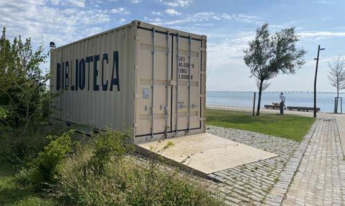
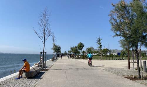
Inside the Parque Ribeirinho Oriente, pop-ups of container vans laid on the grass inhouse varieties local facilities such as a library, bicycle rental, and offices. These were arranged in different segments of the park and with the view of the water. With these blocks, they add inclusivity values into the converting the area into a multi-generational space where students, parents, families, and working profes sionals could meet. However, during the site visit, these stalls were temporarily closed for the public’s use (Figure 15).
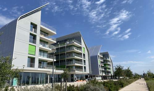
The highlight of the spatial development of Parque Ribeirinho Oriente is the Prata Housing Complex. This project abstracted by the Italian architect Renzo Piano is composed of new housing blocks and commercial facilities designed to integrate new vibrancy and invite new residents to live inside the district. Following the grid layout of the original placement of factories, the housing links with the Park of Nations to Terreiro do Paço with the buildings facing the view of the Tagus River (Figure 16). In this way, the new residents in this area would be able to immediately access the public space and experience living in proximity to the river.
Nonetheless, one consequence of this luxurious spatial development is the lack of sense of belonging or alienation of the old residents living at the back side of the housing complex. Walking from the train station to the main park, a person would be confronted with a few abandoned places and houses first before arriving in this beautiful post-industrial neighbourhood. The social disintegration is evi dent which needs to be resolved further to create a cohesive urban identity.
304 © Samantha Arbotante
Fig.13: Disconnected bicycle lanes sketch Fig.14: Various activities alongside the water Fig.15: Temporarily closed library Fig.16: The Prata Housing Complex © Samantha Arbotante © Samantha Arbotante © Samantha Arbotante
Conclusions
Parque Ribeirinho Oriente is a rich example of effective intervention in communicating the objectives of the MetroPublicNet: to connect the systems of landscape, water, accessibility, and urban cohesion through the revitalization of the public post-industrial space. Using the natural environment as a driver for tourism and taking advan tage of the vicinity to water provides a new definition and identity to the historically industrial and dock area. However, to fully grasp the experience of resilience and environmental robustness of the project, it is highly better to continue the project with phase 2 as it feels segmented and secluded in the area. In terms of sustainable and low-carbon mobility, clear directions of soft mobility are shown in the project. On the other hand, the new housing projects seem to project a powerful role in dictating the image of the space. Targeting a certain socio-economic group, leads to questioning the character of the space concerning the entire district residents and the identity of the Braço de Prata. How can we develop this space further into a more socially-inclusive development?
References
Luna, Mozart. 2020. “Lisbon Wins Parque Ribeirinho Oriente, Another Tour ist Attraction | Environment and Tourism.” The Environment Blog. 2020. http:// meioambienteeturismo.blogsdagazetaweb.com/2020/02/13/lisboa-ganha-par que-ribeirinho-oriente-mais-um-atrativo-turistico/.
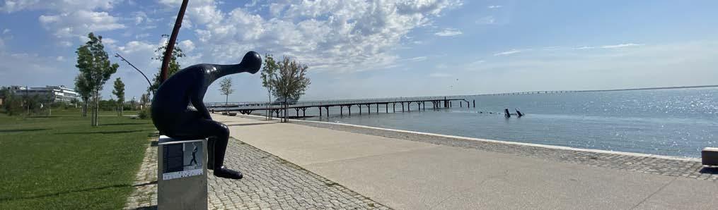
Ochoa, Rita. 2022. “The “Expo” and the Post-“Expo”: The Role of Public Art in Urban Regeneration Processes in the Late 20th Century.” Sustainability 14 (2). https://doi.org/10.3390/su14020985.
Biennal. n.d. “Parque Ribeirinho Oriente | Biennal.” Accessed June 6, 2022. https:// landscape.coac.net/en/node/3566.
Poggemann, Tim. 2020. “Cultural-Led Urban Regeneration in Lisbon: Access to Culture in the Cases of Beato and Marvila .” Kiel: Christian-Albrechts-Universität. https://lisboa.rockproject.eu/wp-content/uploads/2020/12/1010576-Poggemann. pdf.
Yagci, Eser, and Fernando Nunes da Silva. 2021. “The Future of Post-Industrial Landscapes in East Lisbon: The Braço de Prata Neighbourhood.” Sustainability (Switzerland) 13 (8). https://doi.org/10.3390/SU13084461.
305
© Samantha Arbotante
© Samantha Arbotante
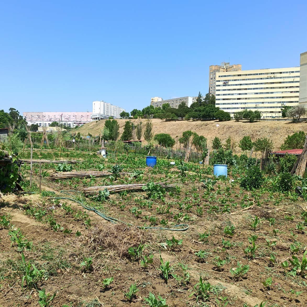
CASE STUDY ANALYSIS
Parque Hortícola do Vale de Chelas
307
04.12
KSHITIJ MAKHIJA
© Kshitij Makhija
Case Study : MetroPublicNet
PARQUE HORTÍCOLA DO VALE DE CHELAS
Community garden park in a Valley
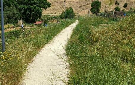
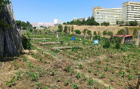
The establishment of the city that is now Lisbon owes greatly to its ad vantageous geographical location. Inclusion in the city's urban struc ture in the twentieth century Several additional variables influenced the history and expansion of the country's capital. Many factors in fluence and condition a city's urban growth, including governmental intent, urban and social or economic demands, topographic qualities and the resulting construction conditions, and land availability. All of these reasons contributed to the region of Chelas, which is part of the parish of Marvila, only becoming fully integrated into the city's urban This horticulture park, which is integrated within the Vale de Chelas Urban Park, covers around 3.3 hectares and has 219 plots, making it the largest in Lisbon. The Parques Horticola do Vale de Chelas is Europe's largest horticultural park, and also includes a skate park. This park was born in an abandoned and difficult-to-manage location where agriculture was previously cultivated in a dangerous and unor ganised manner. Marvila did not have a park earlier. It turns out to be rather significant to requalify that location, either for environmental grounds, since it had an open sewage, or for social reasons, not sim
Lisbon is situated on a broad plateau that falls towards the interior, with valleys filled with hills that define the riverfront scenery at the ends of which, above the estuary, are created.
In this natural ensemble, three valleys stand out that, given their size and morphology, mark not only the image of the city but also its de velopment throughout history, the most notable of which is Vale de Chelas: its water lines structure the city's watershed and, together with Vale Fundo, Vale do Silêncio (Olivais), and its extension to the river, significantly shaped the support soil of the city's eastern part.
308
Green and Blue Infrastructure
Community gardens
Narrowed pathways
Underground water used for irrigation
© Kshitij Makhija
Steps created to tackle topography
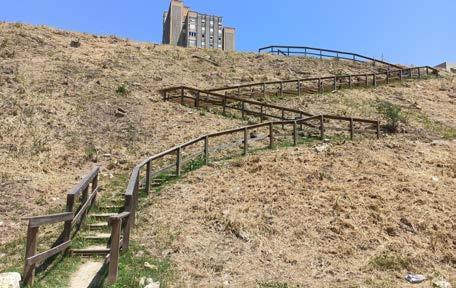
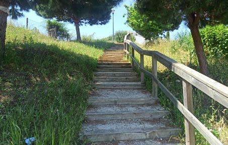
It is the largest urban park in Lisbon dedicated to vegetable gardens. Also helping to improve the city of Lisbon's environmental sustain ability. The presence of green areas in cities helps to enhance air quality by increasing oxygen generation.
The park's design attempts to meet the blue and green challenges
The vegetation changed what was deemed a waste space, difficult to urbanise due to the topography, into a quality place, a green filter for the residents that becomes a part of the community. The green structure functions as an essential landscape figure that connects the urban fabric and creates a big green area within the city. The park also has a horticultural area that serves as a communal garden where
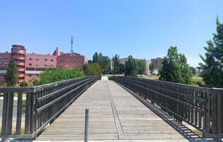
The blue infrastructure helps to the area's resistance against flood ing. The topography of the park helps water to come downwards, channelling surplus water and retaining it in the park's depths, sav ing the towns on the plateau from flooding.
Walkability and active mobility
In terms of mobility, its integrated design enables sustainable devel opment at various sizes. The research of the road network indicates that the link between the various neighbourhoods analysed is not guaranteed by public transportation, and so the displacements be tween the housing cells and the centres of services are given by the users' and residents' own means. Individual transportation on these routes is discouraged due to the paucity and distance between these poles. Given the variety and good distribution of these amenities in the Chelas Plan areas, access to school equipment is often possible on foot.
309
Bridge connects different neighbourhoods
Steps created to tackle topography
© Kshitij Makhija
Construction of a bridge over a road that always act as a flyover allowing walkers and bicycles to immediately access the ring road from the park. This pedestrian and cyclable bridge within the park allows for increased pedestrian and bicycle accessibility while also significantly reducing the slope between the two sides of the ave nue and connecting two separate portions of the park.
The various paths created allow for the crossing of these boundaries by utilising soft mobility logics, which imply pedestrian walkways and bike tracks. The routes follow the contours of the topography. Also, Public transportation connects the park to the rest of the city.
Skate park
Play area inside the park
Social and Urban Cohesion
Among the green places with the highest biological wealth values are urban gardens, which have a positive impact on the physical en vironment of cities as well as the physical and mental health of its people, becoming increasingly important as cities become more ur banised. Thus, urban gardens represent green areas and urban agri culture spaces with high environmental, economic, and social value, and their inclusion in the sustainable development of cities is critical. This massive urban vegetable garden is part of the Vale de Chelas Hortcola Park, a multidimensional structure that also includes other green areas and several play facilities for children..
Secondary or elementary schools, health facilities, police stations, and some commercial units support the housing units of the Chelas Urbanization Plan areas. Infrastructure green spaces arise on the out skirts of neighbourhoods and end up serving as a physical and psy chological oxygen bag between neighbourhoods and high-traffic regions.
This park has green roofs and urban gardens, which not only allow for urban agriculture but also provide social purposes at the local level. The park is related to urban agriculture in the sense that it en courages a feeling of community as well as integration into larger urban life. It serves as a home for vegetable crops. The park's plots are separated for farming.
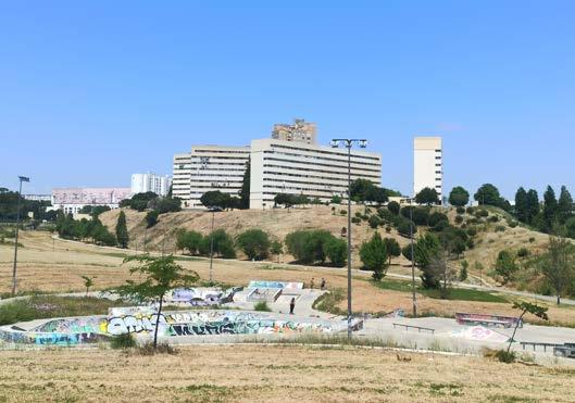
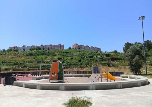
310
© Kshitij Makhija
© Kshitij Makhija
Conclusion
In order to meet the many urban difficulties, the city of Lisbon has organised significant efforts to invest in public spaces. The idea of developing green spaces as a network on a metropolitan scale appears to be an acceptable solution that enables fair access to these public places while putting environmental considerations at the forefront.
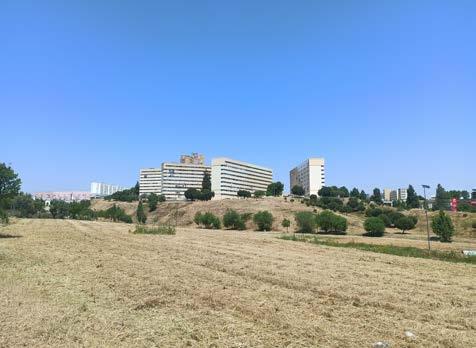
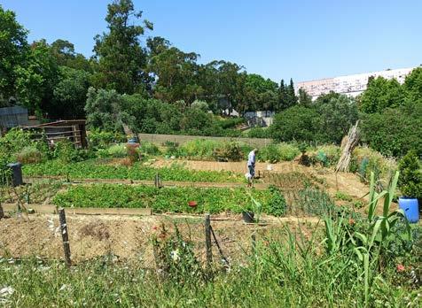
With its horticulture and being the city's own vegetable producer, the Vale de Chelas has contributed to the city's ecology and urban growth. Residents have easy access to the neighbourhood and its amenities because it is well connected to the metropolis. Through the horticulture park's economic contribution and the walkways that tie the urban fabric together, the park succeeds in strengthen ing urban cohesiveness.
Metro Public Net initiatives are critical for Lisbon and may be seen as the beginning of something greater. Connecting all of the initi atives as a network system of urban regeneration, focused mostly on natural landscape systems, has the potential to drastically im prove habitation quality in Lisbon in a short period of time that is now unimaginable.
References
MetroPublicNet. 2022. “MetroPublicNet: Project”. Accessed June 10, 2022. https://metropublicnet.fa.ulisboa.pt
Duarte d’Araújo, Mata. 2019. “Lisbon Expands Its Green Systems as a Cost-Effective Climate Tool.” 2019. https://www.ecca2019.eu/ lis bon-expands-its-green-system-as-a-cost-effective-climate-tool/.
311
© Kshitij Makhija
© Kshitij Makhija
Horticulture Park
Community Gardens
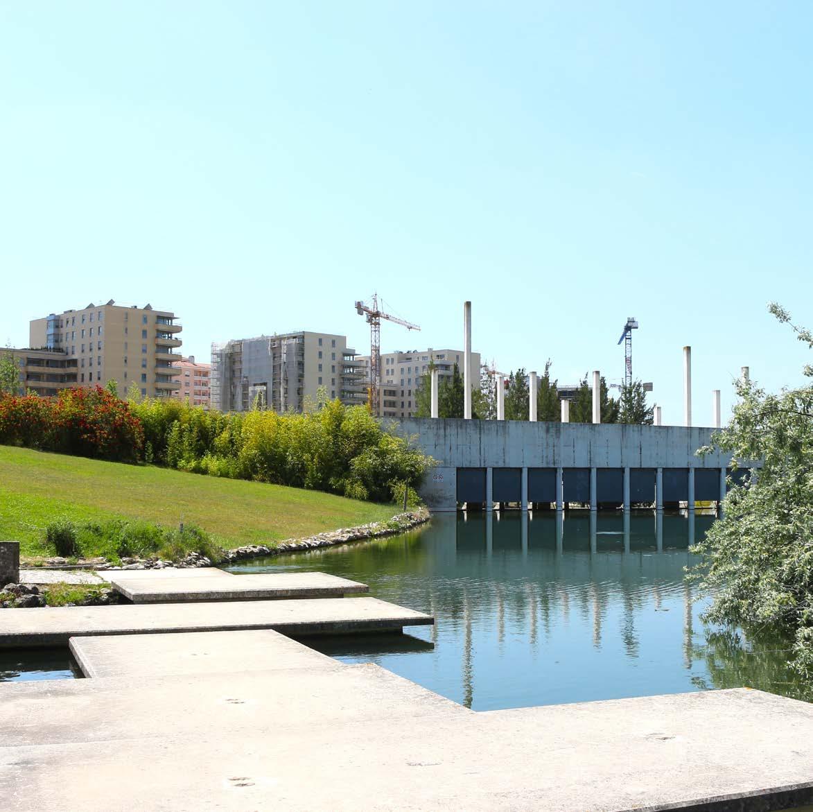
CASE STUDY ANALYSIS
Parque Oeste
da
Alta de Lisboa
313
04.13
©
Ben
BEN HFAIEDH
Fatma
Hfaiedh FATMA
PARQUE OESTE DA ALTA DE LISBOA Isabel Aguirre
Alta de Lisboa is a newly developed area located in the northern part of Lisbon at the extension of Avenida da Republica. Being at the peripheric of Lisbon’s airport in the urban area of Alto do Lumiar, it is strategically well connected to transport infrastructures, green parks, services and facilities. A place where everything is in proximity including close access to the airport. Planned as a land-use division it covers 300ha and offers a high quality of life for its residents with an original target of 60,000 inhabitants the area was named the breathing heart of the capital (Alta de Lisboa, n.d).
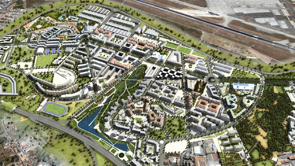
Simulation
Previously known as Alto do Lumiar in the ’80s, it was an area marked by increased marginal dwellings. The area is surrounded by hills in proximity to the airport and the barrier of 2a circular, which prevented its accessibility. During the early ’90s, a rethinking plan of the area was implemented with the strategy of clearing a huge vacant lot, cleaning the streets, and demolishing all degraded settlements in the area. The PUAL of Alto de Lisboa was developed by a Public-Private partnership company Sociedade Gestora da Alta de Lisboa (SGAL), It has been approved by the Municipality council of Lisbon in 1996. Set to be completed by 2015, the development of the project has been obstructed by waves of economic recession and is to be rapidly completed in the coming years. Today, Alto de Lisboa reached 65,000 inhabitants and presents a complex urban fabric of housing typologies surrounded by green spaces, commercial, social and sports facilities (Alta de Lisboa, n.d).
314
of The Alto Lumiar Urbanization Plan (PUAL), Ministers n.º 126/98 published in the Diário de República of
© Lisbon Municipality
Framed as a MetroPublicNet project, Parque Oeste is a public green space project built in 2006 and covers an area of 23ha, within the scope of Alta de Lisboa Urbanization Plan. The park is a result of an intensive requalification intervention on a large unused empty space. Providing an advantageous terrain of a hilled valley that can collect rainwater, the project plays a fundamental ecological role by retaining rainwater in basins and sustainably maintaining the park.
Sketch of the park's plan demonstrating mobility connections and social cohesion in Alta de Lisboa neighbourhood, personal interpretation
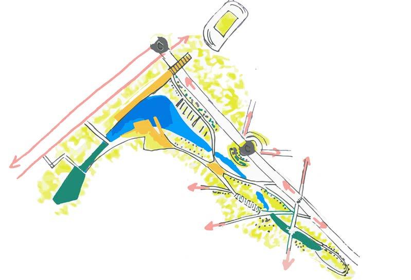
Blue-green network
Due to the advantage of the hilly topography, the project was envisioned as a rainwater retention park. It has a series of artificial lakes in the lowest part of the park’s terrain. The ground seems to have undergone some earthwork operations to make perfect grass hills that conduct underground rainwater to the lower parts. Because of the lack of information on the park’s water system and graphic design elements, the following explained water retention system is based on personal site observation and educated guess. The park is composed of five main water basins of various deepness levels, each basin is at a different height. On both sides of the park, there are constructed deep lakes made of concrete and gabion sustaining walls, these lakes act as reservoirs and prevent water from infiltrating the soil. When the level of water in the lakes flood, it is redirected to secondary ponds through a drainage system.
315
© Fatma Ben Hfaiedh
The water is used to irrigate the vegetation of the park through an underground irrigation system as well as pumping water through a fountain to cool down the heat in the park. In addition to maintaining green spaces, the water ponds are home to different habitats, there are various types of water plants in secondary ponds, different bird communities, and even turtles. The water creates a microclimate that nourishes the ecological balance of the park and helps grow its biodiversity. Although currently, this system maintains sustainably the park, during my visit, I noticed that the secondary ponds were completely dry which concludes the fact that rainfall days are decreasing in Portugal and that the country is probably suffering from drying out natural wetlands. The water cycle is changing with the effect of climate change and the gap between wet and dry seasons is getting more noticeable, perhaps these ponds could have a more flexible design that makes dry ponds usable as a space.
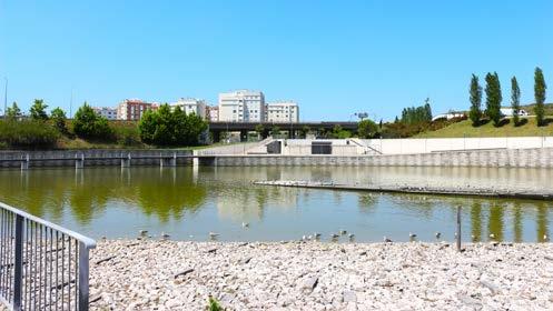
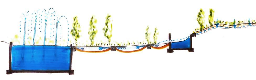
The ingenuity of the green infrastructure is its minimalism, the palette of trees is carefully chosen and positioned. One type is high the thin, planted in a line shape to buffer the surrounding building from the space of the park and give you a feeling of being surrounded by green rather than high concrete buildings. The second type of tree is shorter with thicker branches that serve as shading in the green hills to sit under. The reading of the green hills with lines of trees seems like an English garden that is perfectly embedded with water. The green and blue elements of the park form a peaceful harmony.
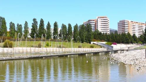
316
Conceptual section of the water cycle in the park, personal interpretation
Gutter
Main water lake retention, 2022
Green walls made of high trees buffering the buildings from the
© Fatma Ben Hfaiedh
© Fatma Ben Hfaiedh
© Fatma Ben Hfaiedh
Shading urban furniture for sitting and outdoor
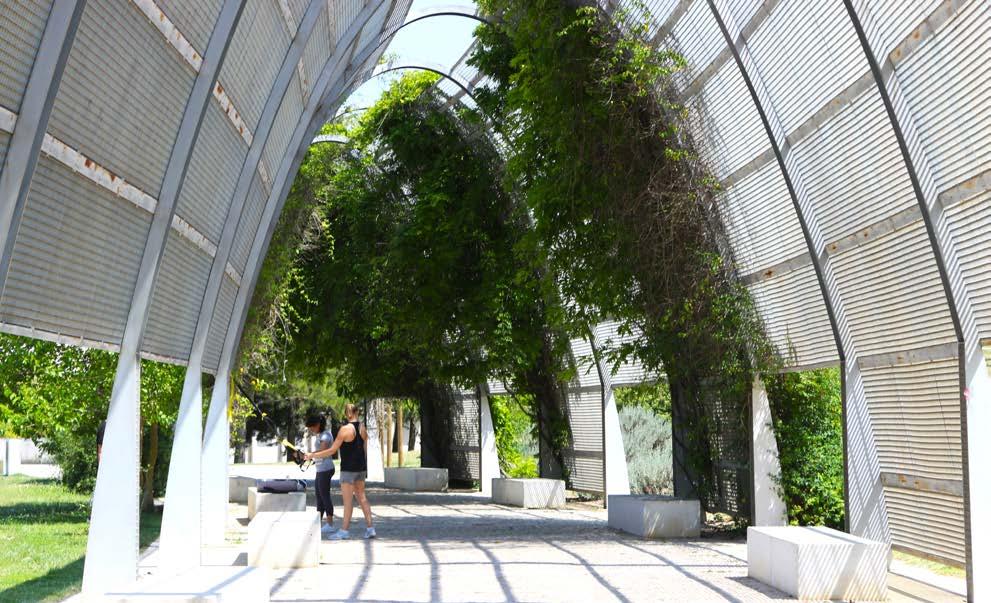
The green hills of the park are enclosed by walkable paths, the strongest point in the park’s walkability is its direct connection to the surrounding environment, as the main paths lead to urban stairs that access the housing blocks on the outskirt of the project. Every path you take in the park boards you in a different ballade, whether it leads to water ponds, sitting urban benches, or shaded areas. The park has three main entrances positioned in the connection with hard mobility roads, which makes the park a continuous sequence of public spaces integrated into the hard mobility network.
Neighborhood cohesion
As a park in the middle of a newly planned and developed area surrounded by housing, the park is the breathing heart of the neighborhood Alta de Lisboa. During the few hours I spent in the park, I observed the presence of different groups of people using the park for different purposes, there were even little girls swimming in the main lake of the park. It seems that the project is succeeding in creating a social space for the residents of Alta de Lisboa to meet up as a community and attract visitors to the park by offering a shade from the sun and water cooling off the heat of summer. The park is so well connected to the surrounding housing that people walk directly outside and find themselves in green hills. The layout of the project Alta de Lisboa makes the park an in-between area that fades the limits of housing’s private space and the public green spaces.
317
© Fatma Ben Hfaiedh
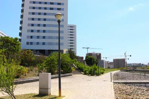
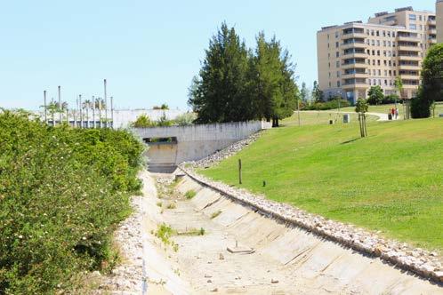
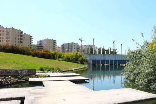
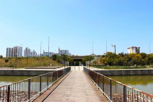
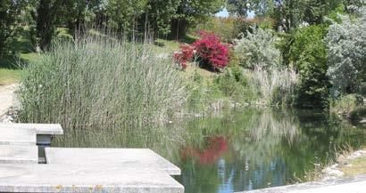
318
Dry secondary water ponds, 2022 Walking paths conncting the blue and green network of the Connection with the urban tissue , 2022 Connection with the north side of Alda de
Growing biodiversity in the water ponds,
© Fatma Ben Hfaiedh
© Fatma Ben Hfaiedh
References
In my esteemed opinion, the design concept of Parque Oeste is based on the major idea of living with nature, the design of Alta de Lisboa as a neighbourhood that offers a high quality of life in the periphery of Lisbon is very much achieved. The system and design of water retention can be a design model for other areas in Lisbon in particular the regeneration of Sao Joao de Talha public space. The green and blue infrastructure of the park is an interesting complexity that is well allied with the surrounding urban tissue on the ground level and from a landscape point of view. The park made me re-qualify the influence of public green spaces in a city as some elements composing the project are feeding various aspects like quality of life in the neighbourhood, water sustainability, and ecological balance. The social cohesion present in the project inspires me to create green public spaces in Sao Joao de Talha that accommodate various activities not just by green spaces but also through urban design. The overall visit to Alta de Lisboa was enlightening as an example of a well-planned periphery in Lisbon.
"Alto do Lumiar Urban Planning (PUAL, Development & Projects & News", Accessed 6 june 2022. https://www.skyscrapercity.com/ threads/lisbon-alta-de-lisboa-alto-do-lumiar-urban-planningpual-development-projects-news-u-c.2188122/#post-160473968
"The history of Alto de Lisboa", Accessed 6 june 2022. http:// altadelisboa.com/a-historia/
"West Park Vale Grande Park" Accessed 5 june 2022. https:// lifecooler.com/artigo/atividades/parque-oeste-parque-valegrande/437585
"Empreendimento Parque Oeste" , Accessed 6 june 2022. https://www.era.pt/empreendimento/empreendimento-parqueoeste-2088
319
Conclusion
© ERA Mobiliaria
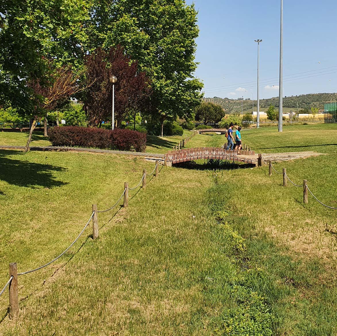
CASE STUDY ANALYSIS
Parque Urbano Adão Barata
321
04.14
© Arthur Van Lint
ARTHUR VAN LINT
PARQUE URBANO ADÃO BARATA
Case Study
In the past two decades, hundreds of public space improvement projects in the Lisbon Metropolitan Area (LMA) were carried out under the rationales of environmental resilience, sustainable mobility and social inclusion. It can however be questioned to which extent these projects contribute to responding to these challenges in a systematic way.
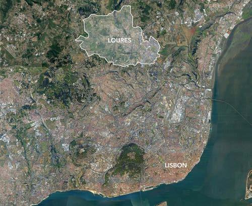
In this context, the MetroPublicNet research project, initiated in 2021, explores the hypothesis of a coherent public space network on metropolitan scale to answer to aforementioned challenges more efficiently. For this research, a number of public space interventions that were delivered in LMA since Expo ‘98 were selected as case studies in order to investigate to which extent these projects efficiently respond to challenges of resilience and environmental robustness, of sustainable and lowcarbon mobility and of inclusion and territorial cohesion. (MetroPublicNet. 2022)
In this critical analysis paper, it is researched to what extent the Parque Adão Barata - one of the public space projects selected in the MetroPublicNet framework - contributes to tackle these challenges.
Leftover Space
Parque Adão Barata is located in Loures, a city and municipality in the Lisbon Metropolitan Area. (Fig. 1) The park is also commonly referred to as the city park of Loures (‘Parque da Cidade de Loures’). Originally, the surface of the current Parque Adão Barata was part of the Trancão floodplain and consisted of agricultural fields that were enclosed by river branches and irrigation canals.
While a large part of the Trancão floodplain still looks like that nowadays, the site of the Parque Adão Barata was cut off from this landscape by the construction of the A8 highway along Loures in the 1990s. (Autoestradas do Atlantico. 2021.)
Whereas the floodplain used to be confined by the national roadway N8 in the west, the A8 highway had become the new western border in the 1990s, enclosing a leftover part of the agricultural fields between these two roads. (Fig. 2)
Questions arose about what to do with this leftover piece of land now that it was cut off from the rest of the agricultural system, while it also was no ideal site for building because of its location in a floodable area. Finally, an opportunity was seen to turn this forgotten corner into a floodable public park that could connect the surrounding neighborhoods.
Fig. 1:
Fig. 2: Site of Parque Adão Barata (blue) in the Trancão floodplain, 18th cen
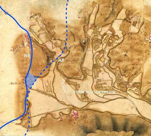
322
© Google Earth (manipulated)
© unknown source (manipulated)
Location of the city of Loures, 2022.
Floodable Park
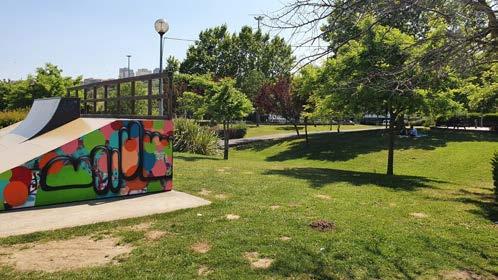
In 2001, the first part of Parque Adão Barata was inaugurated, replacing most of the agricultural fields in between the N8 and A8 roads. The new city park of Loures was and is still intended to be used by people of all ages for events, exhibitions, leisure and as an important node in pedestrian and bicycle routes.
The park consists of a large grass field, a multi-sports field, a skatepark, an outdoor workout circuit, a permanent exhibition center, a children’s playground and a picnic area. (Publico. 2001) The diverse functions of the park are installed on subtle artificial hills and are connected to each other with wooden pathways and small bridges to still be functional during periods of heavy rainfall, in which the water streams that pass through the site may flood. (Fig. 3) Furthermore, the water streams are visible everywhere in the Parque Adão Barata and - just like the water canals in the agricultural floodplain - serve as structuring elements, outlining a few zones with different functions in the park. (Fig. 4) Whenever you pass a bridge over one of the streams, a new type of landscape presents itself.
The omnipresence of the water streams in both the Parque Adão Barata and in the Trancão floodplain is in stark contrast to the absence water in the residential neighbourhoods that surround the park, where all water is hidden underground.
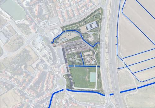
Cultural Heritage as Catalyst
The Parque Adão Barata started off as a succesful neighbourhood park, but gained its wider public prestige as a true city park of Loures in 2004, when the park welcomed the Macau Pavilion of Expo ‘98. (Fig. 5) The highlight of the pavilion is a replica of the Ruins of Saint Paul facade - one of the most symbolic monuments in Macau, a former Portuguese colony. The pavilion was a great success in the Parque das Nações during the 1998 World Exhibition in Lisbon, but was dismantled and rebuilt in the Parque Adão Barata in 2004 to serve its new purpose as the Vieira da Silva Municipal Gallery. (Prudencio. 2022) The aim of the gallery, which was officially inaugurated in 2008, is to promote the democratization of art and to reduce distance between people and cultural spaces. The building consists of a multipurpose room and an exhibition room, in which works of both national and internationally recognized artists are presented to the public. (Hentschke. 2021)
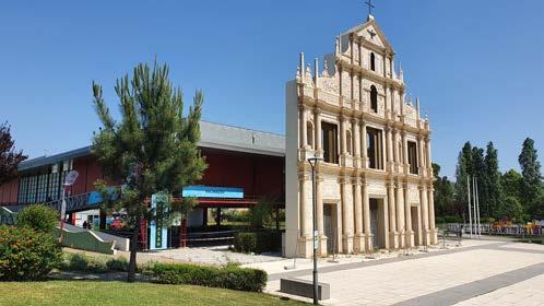
With the Vieira da Silva Municipal Gallery and its imposing Macau facade as a catalyst, both the Parque Adão Barata and the road infrastructure around it expanded in the following years. The few remaining small-scale farmlands - that previously separated the park from a small residential neighborhood north of itmade place for the pavilion, a new boulevard, another children’s playground, an aquatic park and the extension of the path network of the Parque Adão Barata.
Fig. 3: The skatepark (foreground) and picknick area (background) on subtle hills, connected by a small bridge over a water stream, 2022.
Fig. 4: Overview of the water streams in and around the park,
Fig. 5: Macau Pavilion of Expo ‘98 in the park, 2022.
323
© Arthur Van Lint
© Arthur Van Lint
© Google Earth (manipulated)
Decarbonization Laboratory
In recent years, the Parque Adão Barata has taken an exemplary role in promoting sustainable activities and reducing ecological footprints. Through showcasing innovative interventions, the park is meant to be a model that can be replicated throughout Loures and beyond.
A first intervention was carried out in 2018, when the public lighting of the Parque Adão Barata was requalified in order to greatly improve the energy efficiency of the park. 155 LED luminaires were installed on the existing lighting supports and were set up in diverse scenarios in different periods. (Fig. 6) After every period, the opinion of users was consulted and the system was adapted. (Agência Municipal de Energia e Ambiente de Loures. 2022)
Subsequently, the park also hosted the World Water Day in 2019 in the context of a campaign to promote the use of tap water. Multiple drinking fountains were installed and interactive activities were organized for children. For example, there was a demonstration with two water tanks and a bicycle that showed symbolically how water reaches the tap of a house. (Fig. 7) (Serviços Intermunicipalizados de Aguas e Residuos. 2019)
Finally, from 2021 to 2024, the Parque Adão Barata is subject of the PAB_LivingLab project, which targets to minimize the carbon intensity of the park through the implementation of several innovative technological solutions. (Fig. 8) The Parque Adão Barata serves as a decarbonization laboratory in which visitors can experience the benefits of adopting sustainable lifestyles. The technological solutions that are showcased in the park in the context of this project can be summarized in five categories.
First of all, there are a few interventions in terms of circular economy and environment, like an intelligent irrigation system that is installed to promote water efficiency and a sustainable waste management plan that is set up for the park area. Secondly, some infrastructure concerning sustainable mobility is installed, like electromagnetic sensors that detect the presence of vehicles in parking spots and bicycles on bike paths. In terms of promoting renewable energy, a photovoltaic production plant is installed together with a smart metering system. Concerning building technology, the Palácio Marqueses Praia e Monforte - an 18th century palace that is located right next to the Parque Adão Barata - is the first public building in Portugal for which BIM software is used to minimize the impact of its maintenance. Finally, the interventions of the LivingLab project also aim to improve the quality of life of people, which is why all obtained information from the park is communicated with several companies, local businesses, authorities, schools, universities and the citizens of Loures. (Aidglobal. 2021)
Fig. 7:
Fig. 8: Long-term strategy for carbon neutrality by 2050.
324
© Agência Municipal de Energia e Ambiente de Loures © Serviços Intermunicipalizados de Aguas e Residuos
© Agência Portuguesa do Ambiente
Fig. 6: Energy efficient public lighting system in the park's car parking, 2022.
Interactive demonstration on World Water Day, 2019.
Conclusion
Concerning the challenge of improving resilience and environmental robustness, its examplar and interactive interventions on decarbonization allow the Parque Adão Barata to have an impact beyond the borders of the park and even beyond Loures. Furthermore, the park is cleverly designed around the water streams as an existing landscape element that structures all newer additions, which is a strategy that could and should be replicated in other parks. However, it could be questioned if this strategy could not have been extended into the surrounding residential areas to create a system of more expansive sustainable solutions.
Also in terms of sustainable and low-carbon mobility, the park is home to several smart examplar interventions. On the other hand, its role as an important node in a larger soft mobility network could be more visible. The park is still confined by clear boundaries (roads, water streams) without evenly clear connections to adjacent residential areas or even to the Trancão floodplain. Finally, the park managed to activate and bring together the surrounding neighbourhoods, which shared the same risk of becoming 'tucked away' in an hard-to-reach corner of road infrastructure. Thanks to the public interest of the park and its valuable cultural heritage, the leftover space has instead become a lively and attractive part of Loures.
It can be concluded that the Parque Adão Barata undisputedly tackles several important contemporary challenges in a manner that often - but not alwaysexceeds the borders of the park. However, it does seem useful to connect into an integrated network for public spaces on the metropolitan scale to align several assets that are currently limited to the boundaries of the park with a wider context.
References
Agência Municipal de Energia e Ambiente de Loures. 2022. “Loures: projeto de eficiência energética no Parque Adão Barata”. Published on https://oinstalador.com/Artigos/376169-Loures-projeto-de-eficiencia-energetica-no-ParqueAdao-Barata.html on 10/02/2022.
Aidglobal. 2021. “PAB_LivingLab - Experience Decarbonization at Parque Adão Barata”. Last updated on https:// aidglobal.org/project/pab_livinglab/ on 12/06/2021.
Autoestradas do Atlantico. 2021. “História”. Last updated on http://www.aeatlantico.pt/pt/institucional/historia/ on 29/07/2021.
Hentschke. 2021. “Parque da Cidade de Loures: um parque prático e divertido!”. Last updated on https://pumpkin.pt/ eventos/parque-da-cidade-de-loures/# on 17/01/2021.
MetroPublicNet. 2022. “MetroPublicNet.” Last updated on https://metropublicnet.fa. ulisboa.pt/ on 08/03/2022.
Prudencio. 2022. “A work that preserves history – Macau Pavilion”. Published on https://prudencio.pt/en/a-workthat-preserves-history-macau-pavilion/ on 22/02/2022.
Publico. 2001. “Loures inaugura Parque da Cidade”. Published on https://www.publico.pt/2001/07/26/local/noticia/ loures-inaugura-parque-da-cidade-33086 on 26/07/2001.
Serviços Intermunicipalizados de Aguas e Residuos. 2019. “Dia Mundial da Água.” Published on http://www.simarlouresodivelas.pt/divulgacao_pag/dia_mundial_agua_2019.aspx on 25/03/2019.
Fig. 11: Boulevard is the only separation between park and resi dential area.
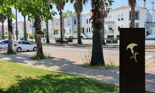
325
© Arthur Van Lint
© Arthur Van Lint
© Arthur Van Lint
Fig. 10: Diverse path materials provide hierarchy in the soft mobility of the park.
Fig. 9: One of the (usualy dry) water streams that structure the park, 2022.
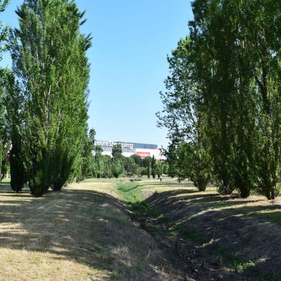
CASE STUDY ANALYSIS
Parque Verde do Infantado (Loures Shopping)
327
04.15
MICHELLE VALLADARES
© Michelle Valladares
Case Study: MetroPublicNet
PARQUE VERDE DO INFANTADO
Loures Municipality
Infantado, Loures Floodplain, Lisbon, Portugal. 2005
Aerial view of Parque Verde do Infantado, 2022.
Parque Verde do Infantado or Parque Urbano do Infantado is located in the zone of Quinta do Infantado, in Loures, Portugal. The construction of a shopping mall in the area, LoureShopping, led to the creation of this large green open space (Rod rigues, n.d.).

Parque Urbano do Infantado has a small watercourse running through its center, a tributary of the Loures River. The park has an extension of more than five hectares, with more than a thousand trees, footpaths, a bike path, and different areas for rec reation and enjoyment. This project is framed inside the MetroPublicNet Project, and was inaugurated on October 26, 2005 (Rodrigues, n.d.).
Historical Framework: A Productive Landscape
Infantado is a neighborhood that lies as an urban peninsula in the Trancão flood plain, which constitutes a main space for agricultural production, being part of the National Reserve Agricultural Area (RAN) (Direcão-Geral de Agricultura e Desenvolvimiento Rural, n.d.). In this framework, any project in Loures has to be understood as part of a productive landscape, together with the transformations it has gone through time.
Until the eighteenth century, the floodplain and its rivers were navigable for trans port and commerce. Therefore, the surrounding slopes functioned as supply mar kets for Lisbon, leading to the cultivation of plots along the adjacent lands to the Loures River. In 1934, the opening and regularization of canals, ditches, and dikes started to take place (DPGU 2019).
From 1960 on, due to the urban expansion, several dynamics alien to agriculture were introduced, taking away much of the farmland. Finally, in the 20th century, the A8 highway was constructed, acting as a barrier that separates the city from its floodplain (DPGU 2019).
328
© Valladares, M.
Urban Planning of Infantado
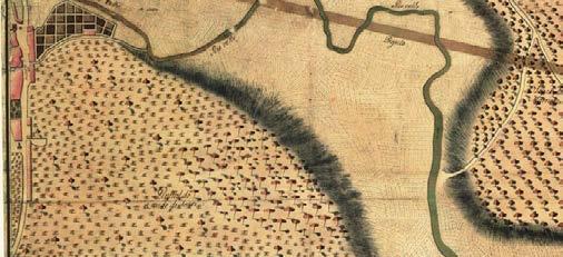
In 1958, a Master Plan for the Loures Region was conceived, keeping the intensive agriculture in the floodplain, dryland, and woods on the hillside. After this, the first global planning instrument for the city was developed, the Anteplano de Ur banização de Loures. It located most of the areas to be urbanized on the west side of the floodplain, taking care not to approach the Loures River, and preserving the existing pine forest. In the 1980s, unplanned informal settlements to the east side of Infantado began appearing. At the same time, Loures Municipality installed ur ban facilities, such as the market, school, and sports courts (DPGU 2019).
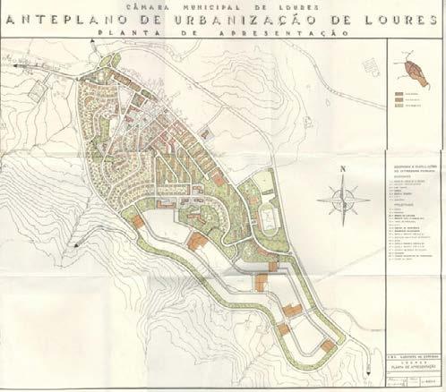
During the 2000s there was an extensive occupation of public facilities in the east area of Infantado, making more noticeable the absence of structuring public spaces that articulate them to the surrounding urban fabric. Currently, the challenge that the Loures' Municipality faces is rethinking the city's urban development strategies to handle the growth and transformation of the urban fabric, protecting the areas of high landscape value, while making these interventions part of a systemic terri torial model (DPGU 2019) .
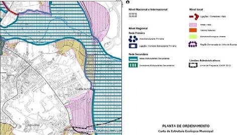
Ambitions for the Parque Urbano do Infantado: MetroPublicNet Project
According to the Departamento De Planeamento Gestão Urbanística (2019), the Parque Urbano do Infantado has to be part of an integral approach that addresses this public space as one of transition between the urban space, the existing public spaces, the floodplain and the river, focusing on functionality and comfort. (DPGU 2019)
329 © Departamento De Planeamento Gestão Urbanística © Departamento De Planeamento Gestão UrbanísticaDPGU © DPGU
Loures in 1760: the pine forest extending almost to the Loures
Anteplano de urbanização de Loures: 1958 - expansion towards Extract from the Municipal Master Plan - Municipal Ecological
Parque Verde Do Infantado
With all these ambitions in mind, the Parque Verde do Infantado takes part in the MetroPublicNet Project, which is an initiative that intents to critically examine the impact of projects that were delivered for upgrading the public space in the Metro politan Area of Lisbon following the urban regeneration that the Expo 98 in Lisbon set off . The purpose behind these analyses is to understand if a territorial synergy and integration can be enhanced if these public spaces were conceptualized and designed at a larger scale. (MetroPublicNet 2022)
As of June 5, 2022, the MetroPublicNet website listed that, in order to achieve this analysis, three main components are examined:
• Environmental resilience: every structural component involving green and blue infrastructure (i.e. water and flood management, urban agriculture),
• Sustainable mobility: all elements that entail walkability and active mobility, such as transit systems, bicycle and walkable paths, traffic and parking control.
• Social inclusion: this last element addresses all elements in urban tissue, in cluding social housing neighbourhoods, new local and urban facilities. Consequently, the following analysis of the Parque Urbano de Infantado comes under these three scopes.
Parque Urbano do Infantado: Structural Components
Green and Blue Infrastructure
The Parque Verde do Infantado is also part of a developing Municipal plan that involves the creation or expansion of existing parks, to address climate change mit igation and adaptation. (Pinheiro, 2020)
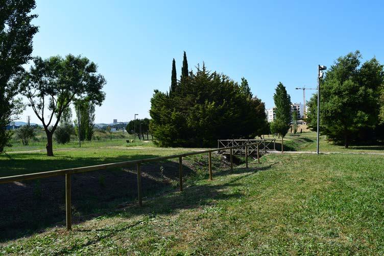
330
© Valladares, M. Parque Verde do Infantado, 2022.
According to the Departamento De Planeamento Gestão Urbanística (2019), the park is supposed to promote the adequate covering of green areas, enhance the riv er and its respective riparian gallery, and promote biodiversity and sustainability. Within this vision, a former tributary branch of the Loures River has been opened, meandering across the park, with trees (Populus species) that go alongside it. Alongside the slopes, several water canals transport the stormoff water from the highest point, next to the LoureShopping mall, to the lowest part of the park, with no visible connection to the former river branch. Though there are several trees from different species placed all around the park, there are no clear clusters of forest that create a continuous canopy that could pro mote biodiversity, nor a continuous pathway in shadow while moving around this public space. The green elements are present in this park, but they exist in a way that does not succeed in creating scenarios for different recreational activities, nor are they visible connected with the water in this space. The water in this park is not part of an integral system itself nor connects to any water system in the neighborhood of Infantado. It has different pieces in place, such as the artificial draining canals and the former river branch, but there is no articulation between them, making them pieces for aesthetic purposes only. More over, there is no attempt of interaction between this natural system and the users of this space. The opening up of the former river branch is a very interesting and valuable idea, but this effort goes unnoticed because there are no spaces or plaques that share this with the people who visit the park.
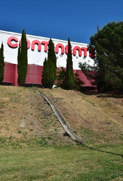
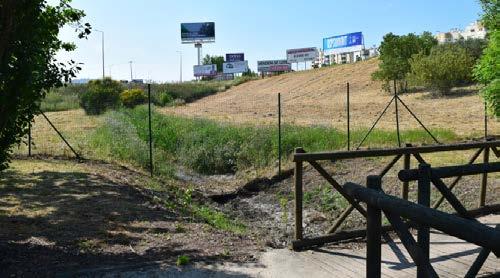
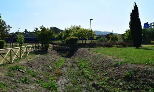
331
© Valladares,
M.
Former Loures river branch opened in the park, 2022.
Water draining canals from higher hard surfaces, 2022.
Edge of the park, connection to surroundings, 2022.
Walkability and active mobility
There are two entrances to the park: a pedestrian one that connects it with the backside of the LoureShopping mall, and the main one, which also has parking spots for cars and bicycle parking racks available.
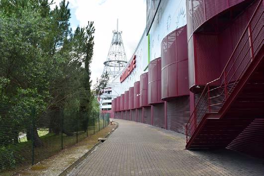
An 830 meter-long bicycle path goes around the entire Parque Verde do Infanta do, alongside the pedestrian pathway. The material of this bike path is compacted gravel, which can be sometimes uncomfortable for some types of soft mobility transport devices (Rodrigues, n.d.).
Although there are two entrances to the park, the pedestrian one is closed most of the time, and the main one is mostly thought to be reached by cars. There is not a clear pedestrian connection between the Infantado neighborhood and the park, with few pedestrian crossings and sidewalks in poor conditions. The exist ing bicycle paths inside and outside the park are in perfect conditions, but are not connected to each other nor to the main roads of Infantado. Thus, a system for soft mobility including bicycle paths does not exist.
332
Urban relation between the park and Loures mall, 2022.
Pedestrian pathways, 2022.
© Valladares, M.
Neighborhood connection and cohesion
As stated by the Departamento De Planeamento Gestão Urbanística (2019), one of the goals for this park is to be a space of transition between the floodplain, the riv er, and the urban tissue, while providing spaces for different types of recreational activities, such as picnic parks, sports activities, children’s playgrounds. Currently, the Parque Verde do Infantado is isolated from the activities in its sur roundings and the history and agricultural heritage of Infantado. The park and all its natural elements lay next to the shopping mall, to the A8 road, and to a recent housing development, but all of them are disconnected, floating urban pieces.
The park is mono-functional, one big open air space that allows walking, running, and promenading. There are no spaces inside the park that can create different sce narios that relate to the activities or culture of the people who live in Infantado. By the time of the site visit, there were only temporary installations for dogs as part of a product’s advertisement, some urban furniture randomly placed, with very few to no visitors.
333
© Valladares, M.
Urban furniture in the park, 2022.
Temporary recreational space for dogs, 2022.
Urban furniture for exercising in the park, 2022.
General Critics and Conclusions
In order to tackle the main goal of Parque Urbano do Infantado being a public space that helps climate change mitigation and adaptation, it is important that all the structural components of the park are connected in one integral vision, that through actions can be intertwined, constituting a system that can be linked to other systems in a larger scale.
To start, the existing water elements are interesting, and opening up the former river branch has several ecological benefits, but currently, it is not shown because it is isolated. The whole experience would be enrichened if all the components were linked in a way that the wastewater or the stormoff water of the hard surfaces in the high part of Infantado were taken as an opportunity to irrigate the green elements in the park. In this way, the topography in the slopes could be rethought in certain parts to accommodate different uses of water. Even spaces inside the park could relate their activities with this system of water caption.
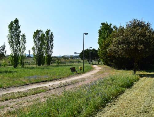
Likewise, this public space currently stands by itself and does not have a connec tion to other existing public green spaces. The park is a great initiative but in iso lation has a small effect and a reduced perception. This is why the soft mobility system has to be refined in a way that connects with the surroundings and allows the people to experience the park as part of a bigger project.
Finally, hybridity in the spaces inside this public space is much needed; spaces that accommodate activities in wide ranges and try to recover some of the historical memory and productive heritage of the site are options to consider in order to link this public space with the community.
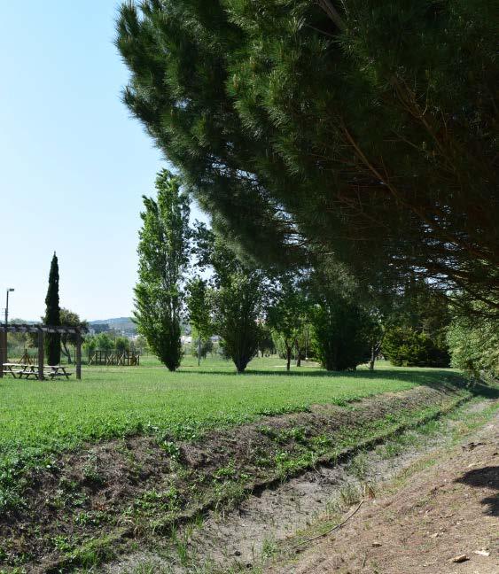
334
Pedestrian pathways and vegetation, 2022.
Vegetation, former river branch, and urban facilities in the park, © Valladares, M.
References
LECTURES
Raposo Catarina, Alcobia Samuel. 2022. " Providing landscapes for people, Landscape systems and processes". Lecture, Guest Lecture Studio Lisbon, Faculdade de Arquitectura, Universidade de Lisboa.
Shannon Kelly, De Meulder Bruno. 2022. "Design Research in Saigon Delta". Lecture, Guest Lecture Studio Lisbon, Faculdade de Arquitectura, Universidade de Lisboa.
CASE STUDY
Cachinho, Herculano. 2007. “L'espace public dans la banlieue de Lisbonne: de la rue au centre comercial”. Revue géographique des Pyrénées et du Sud-Ouest. SudOuest Européen, vol. 24, no 1, p. 51-62. https://www.persee.fr/doc/rgpso_1276-4930_2007_num_24_1_2952
Departamento De Planeamento Gestão Urbanística- DPGU-. 2019. “Parque Do Rio Programa Preliminar”. Loures: A cidade que queremos. https://www.cm-loures.pt/ media/pdf/PDF20210713110643752.pdf
Direcão-Geral de Agricultura e Desenvolvimiento Rural, n.d. “Reserva Agrícola Nacional”. Accessed June 5, 2022. https://www.dgadr.gov.pt/cartografia/reservaagricola-nacional
MetroPublicNet. 2022. “MetroPublicNet: Project”. Accessed June 6, 2022. https://metropublicnet.fa.ulisboa.pt/
Pinheiro, Rui. 2020. “The Municipal Green Structure and Climate Resilience”. ADALoures, December 5, 2020. https://adaloures.pt/opiniao/a-estrutura-verdemunicipal-e-a-resiliencia-climatica/ Rodrigues, Vitor. n.d. “Ciclovia do Parque Verde do Infantado”. Accessed June 5, 2022. https://www.ciclovia.pt/ciclovias/3lisboa/1lisboa/loures/l33010301.php.
335
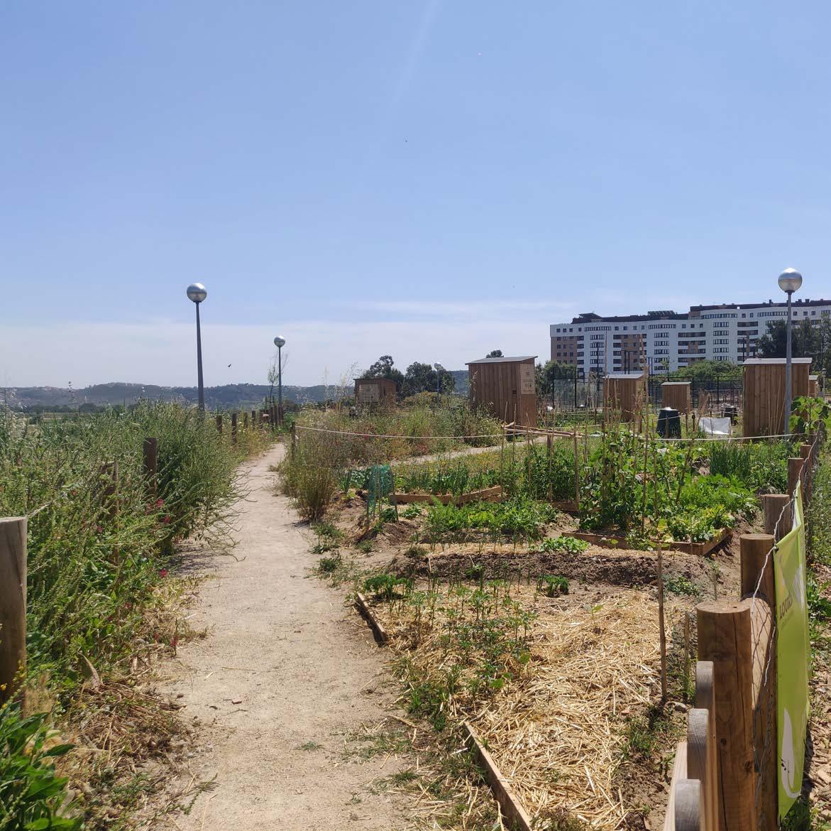
04.16
CASE STUDY ANALYSIS
Parque Urbano do Infantado (Norte)
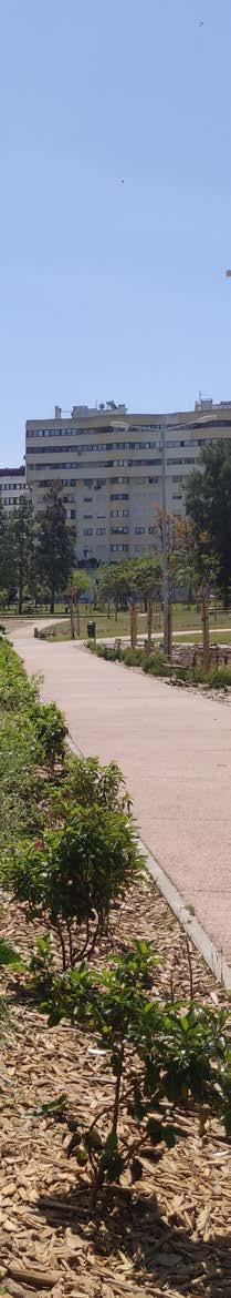
337
ANAGHA PANDIT
© Anagha Pandit
Multifunctional park with community gardens along the Trancao Floodplains
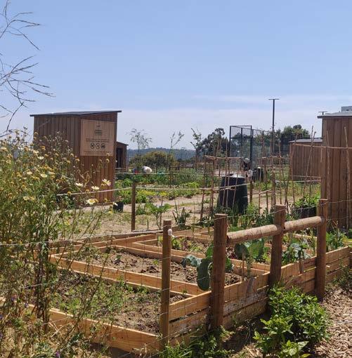
PARQUE URBANO DO INFANTADO (NORTE)
Infantado, Loures Municipality 2020
Parque Urbano Infantado is located in the Loures municipality and overlooking the productive floodplain of the Trancao river. The projects is a good example of trying to bring together the various elements that exist on site. It is one of the projects by the Metro Public Net that deals with creating systematic, continuous and multifunctional public spaces. While acknowledging public space complexity, the project engages with the sustainable and integrated use of land and territorial resources:
1) resilience and environmental robustness (Blue-Green System)
2) sustainable and low-carbon mobility (Walkability)
3) inclusion and territorial cohesion (Urban/Social Cohesion)
Green-Blue system - This relates to the nature-based solutions, green corridors, water fronts, flood management and water sensitive urban design, urban agriculture and climate change adaptation; the Parque Urbano do Infantado consists of various elements that form a part of this system like the community gardens, spaces for leisure overlooking the valley, forested edges and multifunctional sports facilities. The park looks over the floodplain in the form of
338
© Pandit, A.
© Pandit, A.
a Miradouro. The multiple systems of the valley can be seen from this point, like the forested slopes, productive valley and the dykes of the rivers. Multiple elements of the park like the forest that is conserved add to a different experience walking through it and allowing you to feel calm amidst the hustle of the cars and the urban system.
The community gardens also form a part of this blue green network and focus on creating a connection between the urban fabric on the plateau and the productive landscapes of the valley. While also adding to the sustainable way of living and supporting the newer scenarios of urban farming that is becoming an important part of
the urban living.
Walkability - It is promoted through projects concerned with transit-oriented development, the spatial integration of road infrastructure, promotion of accessible, walkable and cycle-friendly paths in the city, together with traffic control and parking solutions; The edges of the park that face the urban tissue are surrounded by parking and larger roads for car accessibility with its proximity to the highway. The park in itself integrated walkable pathways and bike paths through it and also leading a few pathways towards the valley and through the forest. The connectivity to the park from
339
© Pandit, A.
CASE STUDY ANALYSIS
Parque
Urbano de Santa Íria de Azóia
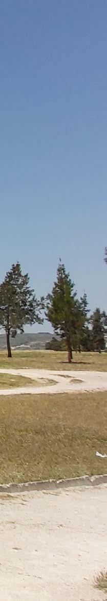
341
04.17
© Noviantari NOVIANTARI
PARQUE URBANO DE SANTA IRIA DE AZÓIA
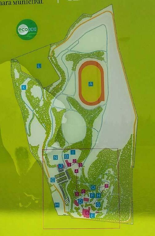
MetroPublicNet, Parish of Santa Iria de Azóia, Municipality of Loures
Parque Urbano de Santa Iria de Azóia is a 26-hectare public park located in the Municipality of Loures, Lisbon Metropolitan Area (Loures Camara Mu nicipal, n.d). It was a landfill for solid waste from 1988 to 1996 and served the municipalities of Loures and Vila Franca de Xira (Louis7 ODD, n.d). After reaching the maximum capacity, the waste was sealed, and the land was converted into a public park. In 2000, the park opened to the public. As a public park, it consists of many sports and public facilities such as an ath letic track, skate park, flight slope, playground, amphitheatre, spa, geriatric equipment, veterinary centre, environmental education centre, and renewa ble energy theme park. The development of Santa Iria de Azóia Urban Park was an echo of Expo 1998 in revitalizing the poor neighbourhood, rivers, waterfronts, and in remarking the emergence of parks and public spaces. The park located near several housing neighbourhoods, agricultural sites, and industrial estates. From the elevated ground of the landfill, it has an
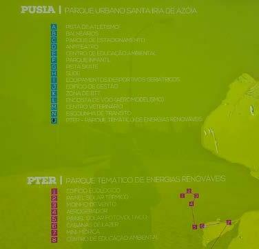
342
© Noviantari
Soft mobility, neighbouhoods, and green and blue contexts
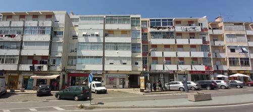
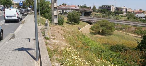
I reached Parque de Santa Iria Da Azoia from the Livensa building in Rua Sousa Lopes by train to Santa Iria Station and continued walking through the hike-up highway. It needed approximately 20 minutes to reach Santa Iria Station and another 40 minutes’ walk to the park. It was a sunny day on the Portuguese public holiday of 12 May 2022 with a recorded temperature of 30-degree Celsius (time and date, n.d.). The walk was harsh but memora ble because of the view of intertwined biodiversity, cultural landscape, and urban cohesion. At Santa Iria Station, a car park surrounded by industrial office buildings was a welcoming statement. The sidewalk was narrow, frag mented, and mostly unshaded. Yet, few crossings underneath the highways and tunnels were almost discreet but also comforting because of the shade they gave. The pedestrian path was a lone sidewalk on the highway since the bike lane was unavailable. The highway was winding in between steep and gentle slopes. People went on an ‘elephant path' cutting through the flowering meadow on the gentler slope. They went closer to housing across
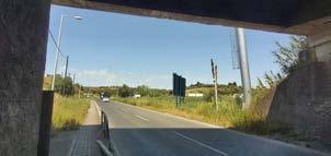
1 Santa Iria station and post-industrial riverside walk in the back ground 2 Car park and industrial offices welcome visitors in Santa Iria station
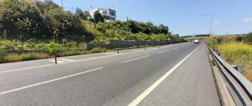
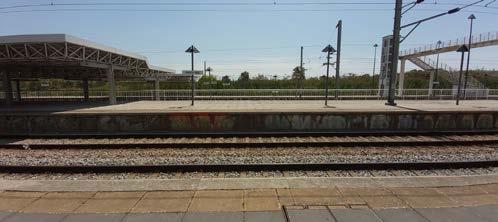
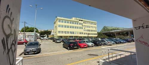
Pedestrian crossings and shades
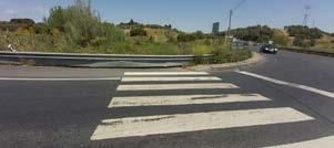
343
© Noviantari
1 2 3 6 4 5
3
The neighbourhood from Santa Iria Station to the park was diverse. It was an industrial estate in Santa Iria Station. East side of the station, the post-in dustrial site has been initiated as a riverside walk of Loures, the Ribeirinho de Loures Route. The pedestrian and cycling track currently stretched next to Tagus River from Santa Iria de Azóia and Bobadela. On the west of the in dustrial estate, the Forninhos neighbourhood is hidden on the lower slope north side of the road. On the other side of the road, the Carriche neigh bourhood sits on a plateau. It has 1940s multistorey building architecture with a seemingly mixed typology of housing and commercial. Moving to the west across the highway, another neighbourhood with contemporary and 1990s architecture style housing sits on a plateau. It is sustained by a steep slope and low retaining wall. North side of the road, an agricultural estate spans a valley towards the neighbourhood of Ariola on the plateau. It continues westward along the road to eventually meet the urban park.
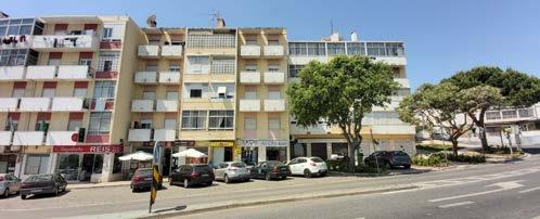
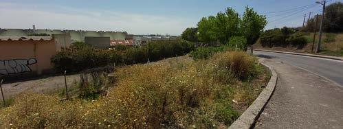
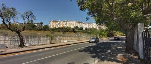

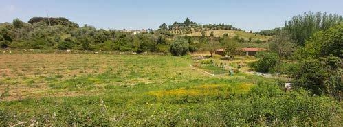
Industrial estates next to Santa Iria station
Forninhos neighbourhood on the lower slope
Carriche mixed-neighbourhood on the plateau
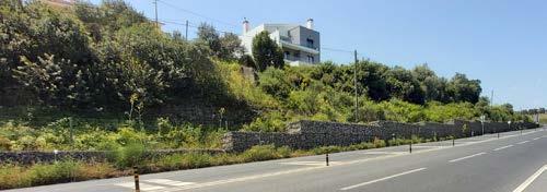
Low retaining wall for the steep slope and the new neigh
As mentioned, shade from trees was scanty. But when available, it gives comfort. Green canopies consist of several types of branches. The leaves were of different shapes and colours. From underneath the pathway, the sound of flowing water was subtle. Where there were utility hole covers, the sound of water became vivid. Next to the unshaded sidewalk, wild shrubs covering steep slopes splashed yellowish and light brown colours. At closer sight, it wilted from the heat. Community gardens occurred on the steep slopes between the multistorey housing and highway. It breaks the slopes into terraces and covers the soil with edible plants and trees. The low fence was appropriating the ownership of the garden. A small entrance was avail able, yet a narrow gap shares hesitance for people to enter. Watertanks and pipe installations in the community gardens indicate an incremental irri gation system. Biodiversity from near the coastline to the urban park was an intertwined green corridor of marshland next to Tagus estuary, diverse trees, shrubs and grasses covering slopes, community gardens on the slope
344
7
11 9
7
8
9
10
10
8
© Noviantari
1 Different types of tree canopies 2 Utility hole cover where sound flowing water became vivid 3 Grass and low shrubs cover steep slopes, some wilted from heat
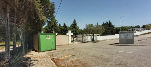
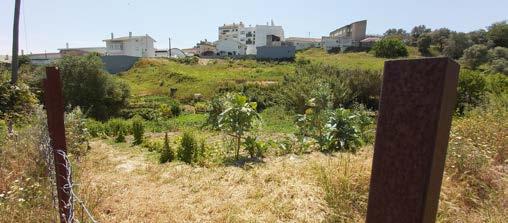
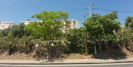
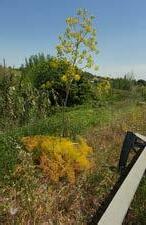
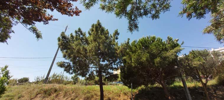
345
1 3 5 4 2 © Noviantari
Accessibility, cohesion, and environmental robustness of the park
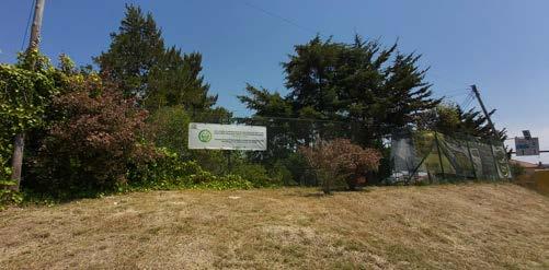
Closer to the urban park, attention is needed to find the entrance. The park was enclosed by a boundary wall and fence. The car park of the cemetery was more welcoming than the entrance of the urban park. Wire fence sepa rates the urban park and the cemetery. Nevertheless, the highway was more separating the nearest neighbourhood and the urban park. Towards the en trance, bus stops were unavailable. The car park inside the urban park was the mobility node available. Entrance signage is attached to a side of the fence. Entering the park, the interpretation panel explains the park on the right side of the road. Semi mature to mature trees give shade to the space, although garbage bins scattered around the panel camouflage the welcom
1
1 Road seperating the nearest neighbourhood and Parque Ur bano de Santa Iria de Azóia; boundary wall and wire fences pro moting less accessibility and disconnection with adjacent public space
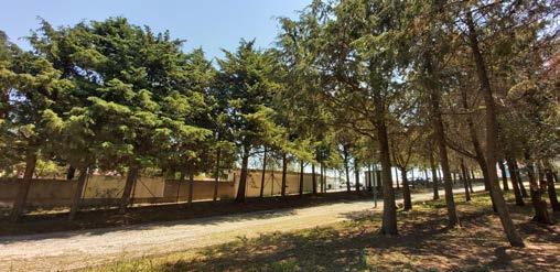
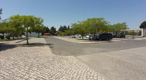
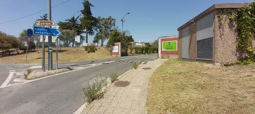
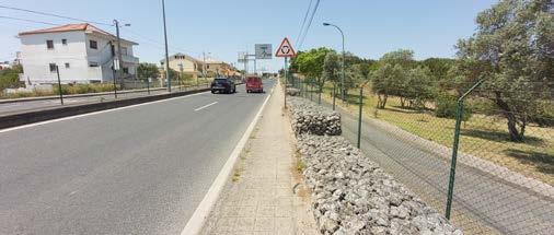
2 A recess entrance and signage of the park on the fence
2 4
3
346
© Noviantari
1 Amphitheatre and playground behind tree clump 2 3 4 ©
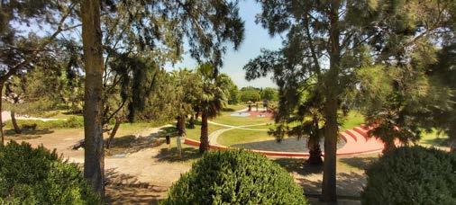
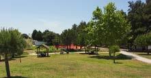
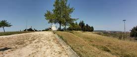
Visitors in the gazebo and seating under the trees
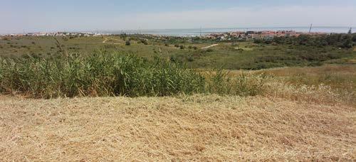
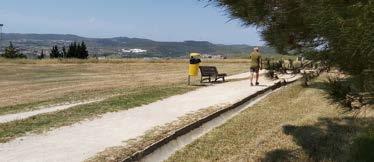
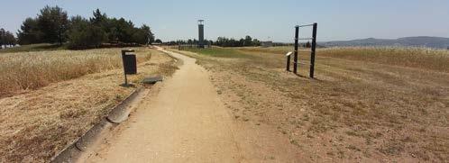
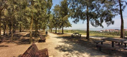
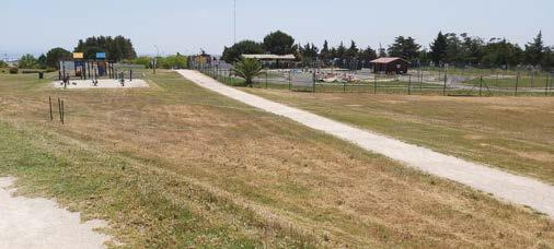
Visitor jog around the park
Scattered gym tools
Playground and off-road trek
Noviantari
347
2
3
4
5
The veterinary centre is the most notorious facility in the urban park. Dur ing the site visit, it has more frequent visitors than other facilities. Few visi tors made themselves comfortable under the shade in the gazebo and under the tree clump on the grass mound. Some others use the path to jog through the park. The park has two sets of playgrounds and a small off-road trek court that can be used for other events. Too, playful outdoor gym tools are scattered alongside the climbing path-walk over the landfill. Although, the facilities were left untouched on the sunny day. The guess was because of the lack of shade over the outdoor facilities. On a side at the top of the hill, sets of tables and chairs under a group of pine trees were the perfect lookout 1 5 6
The urban park has a flexible layout of a vast mound covered with grass. Groups of trees cover small parts of the slope and hilltop. Several species of pine trees are predominant. Olive, Acer, Palm, other shade trees and under storey trees are filling between the pines. At the place where no tree cover, especially on the unshaded hilltop, the scent of parched grass is strong. In a part of the slope, a group of pine trees cover waste treatment utility. Over the grassland at the hilltop, wells-like of gas outlet utilities for the waste treatment occasionally appear. Solar panels were also seen here and there in the unshaded area. Alongside the path-walk and at the crease of the landfill slope, drainage channels made from concrete connected to underground pipes. The drainage network end on a waterway covered with grass and strengthened by natural stone. A water tank and pipe for irrigation are in tegrated into the drainage system. The tank is to collect water from rain or
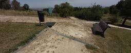
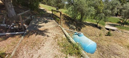
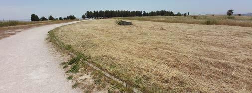
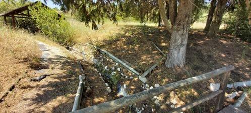
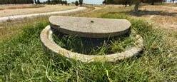
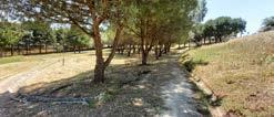
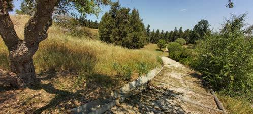

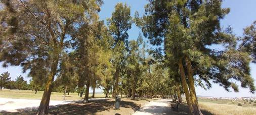
348
© Noviantari 1
2
3
4
1 5 2 3 4
Groups of tree cover and shrubs on the steep slopes
Parched grass on the hill top
Hidden waste water treatment utilities between tree group
Drainage channels network
Conclusion
The urban park of Santa Iria de Azóia set an example for public space re generation. From a waste landfill, the park has equipped itself with ade quate water infrastructure and sustainable energy. It pays attention to the opportunity of utilizing the water cycle and preserving natural waterways while showing an inclination to use soft engineering. Indeed, an example of a more sustainable urban drainage system. The park has utilized vegetation types as an infrastructure for a hilly site and post-landfill facility. Although, room for improvement is available to articulate the use of vegetation. More advantage is to elaborate plants as an element to shape spaces, create a vi brant public space ambience, and as a natural feature to ameliorate micro climate. Further, an appropriate selection of plants will allow the preserva tion of local species while connecting the currently fragmented biodiversity network from the marshland to the urban park.
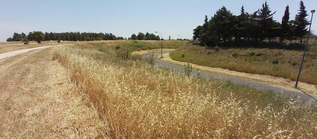
Accessibility to the urban park from the surrounding neighbourhood is an other subject for discussion. Parque Urbano de Santa Iria de Azóia’s prox imity to several housing neighbourhoods establish an underlying role as a neighbourhood park. The role, then, appoints the park as a public space that
could weave urban cohesion. Whereas, during the visit, boundary wall and fence set distance for daily use. Moreover, the sentiment toward car-based visitors versus the scarcity of soft mobility and the lack of connection to public transport modes and nodes deprive the democratization of the park as a public space.
Facility programmes and an open layout approach indicate flexibility to contain various and scale-ranging public activities. Public education is also well-pronounced as part of the entertainment in the facility. Nevertheless, it is out of curiosity if bringing the adjacent initiative of community garden ing into the programme could weave the social cohesion of the park with the surrounding neighbourhoods and among the neighbourhoods. If in corporated with the implementation of sustainable drainage and irrigation along with slope conservation in a productive landscape, public education might share applied knowledge to a relatable audience. Referring back to the endeavour of expanding public spaces as a climate functioning green and blue network across the Lisbon Metropolitan Area (LMA), connecting Parque Urbano de Santa Iria de Azoia to the existing green and blue patches
349
© Noviantari
References
Loures Camara Municipal. n.d. Santa Iria de Azóia Urban Park. Accessed June 6, 2022. https://www.cm-loures.pt/AreaConteudo.aspx?DisplayId=997.
Louis7 ODD. n.d. Urban Park Santa Iria de Azóia. Accessed June 6, 2022. https://sites.google.com/site/luis7odd/parque-urbano-santa-iria-de-azoia. timeanddate. n.d. Past Weather in Lisbon, Portugal – May 2022. Accessed June 6, 2022. https://www.timeanddate.com/weather/portugal/lisbon/ historic?month=5&year=2022.
Andessemparar. 2018. Ribeirinho de Loures route, first meters. Last updated September 21, 2018. https://andessemparar.com/2018/09/21/percurso-ribeirinho-deloures-primeiros-metros/.
351
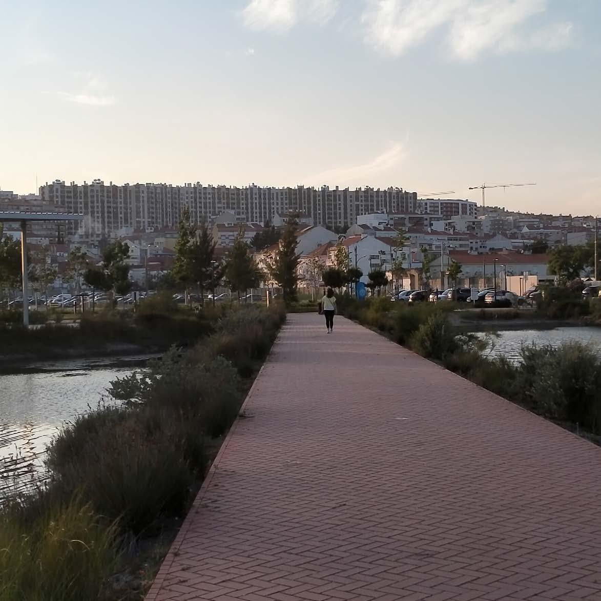
CASE STUDY ANALYSIS
Parque Urbano da Póvoa de Santa
Íria
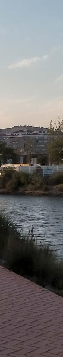
353
04.18
© Edwin Kabugi Karanja
EDWIN KABUGI KARANJA
Parque Urbano da Povoa de Santa Iria
Case Study
Since the occurrence of the world Lisbon Exposition in September 1998, commonly referred to as Expo’ 98, numerous projects on public spaces have been implemented in Lisbon City. Different strategies such as rehabilitation and regeneration were proposed and implemented to ameliorate these public spaces. In these footsteps, the MetroPublicNet, founded in March 2021, was also conceived as a project to requalify public spaces in Lisbon Metropolitan Area, with the goal of establishing an integrated and efficient public space network within the Lisbon metropolis. The MetroPublicNet project sets out to respond to challenges categorized into three main approaches/rationales; climate resilience and environmental robustness, sustainable and low carbon mobility, and social inclusion and territorial cohesion. The planning, design and implementation of public spaces is therefore articulated with clear strategies to address these challenges through ensuring the provision of green-blue infrastructure that adapts to landscape and enables climate resilience, facilitation of alternative low carbon mobility solutions and integration of diverse spatial aspects that contribute to cohesive neighbourhoods. Parque Urbano da Povoa de Santa Iria is one such projects that is within the frame of MetroPublicNet agenda. This critic looks more in to how this urban park addresses these challenges at an urban design scale.
The urban Park of the People of Santa Iria is 6 hectares in size and is located in the southern side of the Municipality of Vila Franca de Xira. It is part of an integral riverfront park system (Fig2) together with Tagus linear park (Fig3), both of which are riverside requalification projects under the Lisbon Operational Program (QREN 2007 – 2013) designed and implemented with the intention of improving the connection between the river and the community. Overlooking it on the east is a high density neighbourhood which has great views of the park and the Tagus River (Fig 1). Between the park and neighbourhood is a railway line that gives rail access to the park which is just 10 minutes’ walk from the Train station (Fig 2).
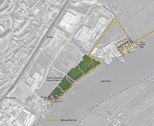
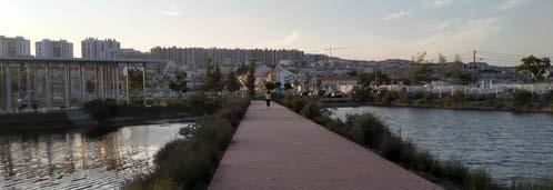
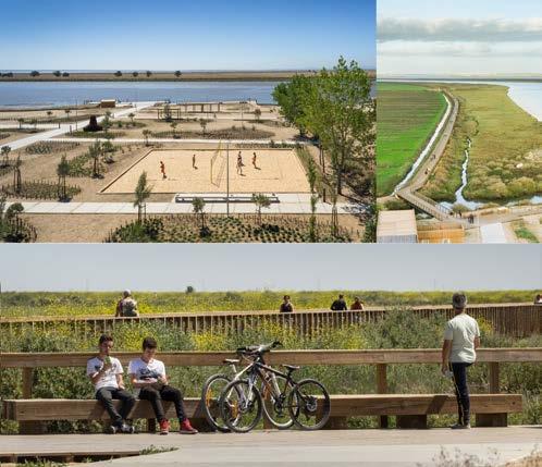
Fig. 2: Location and general map of the park
3:
354
© Google Earth (manipulated)
© João Morgado (Manipulated)
© Edwin Kabugi Karanja
Fig.
Adjacent Tagus Linear Park as part or the riverfront park system (by Topiaris Landscape Architecture)
Sidonio Pardal
Fig. 1: High Density city neighbourhood overlooking the park
Environmental Resilience
As a park on the banks of the Tagus river, all the critical elements of a coastline in relation to climate change are a key consideration for its design. To ensure resilience to climate change dynamics associated with the river, the park in designed in a manner that integrates and protects the existing natural systems, enhancing the local ecology and ensuring minimal disturbance of the landscape. It can be observed that there is a huge undisturbed sedimentation area between the edge of the park and the place of actual river flow (Fig 5). The landscape is appears as an exhibition of microtopography that work as a system to indicate the space for human activity and space to be left for natural occurrences. This sedimentation area is seen to have numerous natural tributaries that drain water from the urban tissue. During sea level rise, the rivers of the water can comfortably occupy the sedimentation area before it reaches the urban park. The park is designed to not affect the edge of the river by allowing it to remain soft all through, except only for a few areas such as the restaurant area which has a retaining wall that indicates traces of sea level rise. As a strategy, the park integrates a network of ‘floating’ transport infrastructure (walkways/cycle paths and piers) that stretches over the water, connecting different parts of the water front without major disruption of the sediment landscape (Fig 6). These elevated connection routes provide a unique experience to those walking and cycling. One of these routes goes over an existing waste water treatment plant that drains its nutrient rich waters into the Tagus. Further research could help to investigate the effect of the deposits of the treated water in the ecosystem of the Tagus river in this area.
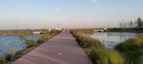
Other than grass vast grass lawns planted for leisure and relaxation, it is evident that there was a tree planting program implemented within the park. Perhaps it could have been better if the same was implemented on the main road leading to the park, indicating its approach (Fig 4 and 7). The trees in the park are however very young and not heavily felt at the moment but will mature to establish their presence, integrating diverse microclimates within the park.
Fig. 5: Sedimentation area with tributaries leading to the river
Fig. 4: Fieldwork sketch (Trees on the main access road)
Finally, there is a water retention system (Fig 8) established with a system of dykes and valves to keep collected water at a higher level before draining it into the river. The presence of the retained water complements the park’s quality as a public space with actual accessible water with a walkway that runs through one of the dykes.
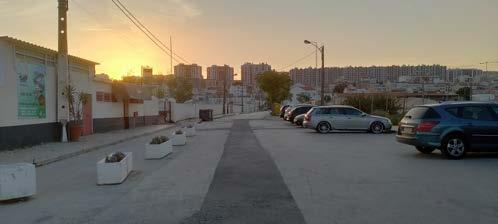
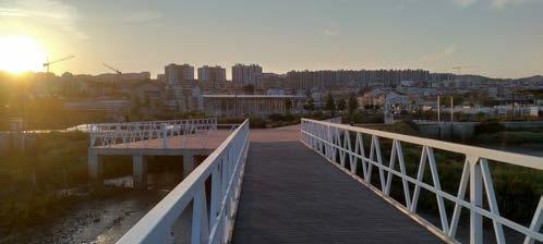
Fig. 6: Elevated Pier and footpath
Fig. 7: No trees on the road to the park
Fig. 8: Water Retention System
355
© Edwin Kabugi Karanja
© Edwin Kabugi Karanja © Edwin Kabugi Karanja © Edwin Kabugi Karanja
Sustainable and Low Carbon Mobility
Parque Urbano da Povoa de Santa Iria project converted the waterfront into a waterfront park with a system of docks, infrastructure and walkway on the water. The main strategy towards ensuring sustainability of active mobility is through incorporating a network of bike paths and pedestrian walkways with soft/smooth surface that offer good experience while cycling and walking (Fig 9). Elevating them not only protects them from adverse climatic conditions such as sea level rise but also ensures that the ground they occupy still is not disturbed and remaining adaptable to natural conditions and thus being sustainable (Fig 10). To complement the provision of access routes for sustainable mobility, there are electric steps and scooters for hire outside the restaurant that pedestrians can use to go through and round the park. However, they are just few for use by a few people and could be added at several other strategic points within the park. The park is also accessible by collective public transport (Train and Bus), whose stations are just about 10 minutes from the park. Collective transport is effective in reducing carbon effluents from individual vehicles that would be used by each user in the event they did not use collective transport. For this reason, the big, bare, impermeable and shade-less parking space at the entrance of the park is not in line with the transition towards sustainable and low carbon mobility (Fig 11). The main access to the urban park is also shared with vehicles and has no space allocated for pedestrians or cyclists. This could be reprofiled as a partial or fully pedestrianized streets for soft mobility.
Urban and Territorial Cohesion
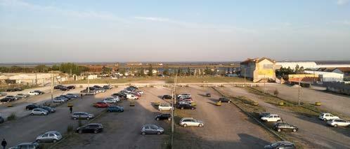
On a territorial scale, Parque Urbano da Povoa de Santa Iria teams up with the Tagus Linear park to form a system of cohesive public spaces on the eastern bank of the Tagus river, that connects the near and far neighbourhoods/urban communities with the waters of the Tagus for leisure, recreational, cultural and educational purposes. In the historic time, the riverfront was mostly exclusive to industrial functions together with economic functions of the Avieira community who mostly did fishing in the river. The Parks can now be seen as an interface between the urban and the water, providing important links between different urban functions that are existing and that may come, such as residential, commercial, industrial and agricultural among others. In addition, they are open and accessible to all members of the public; people of all ages and abilities, social and cultural backgrounds which makes them unique spaces of interaction that knit communities together.

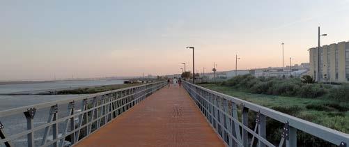
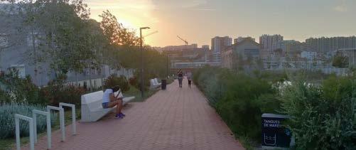
At an urban design scale, Parque Urbano da Povoa de Santa Iria provides diverse spaces for collective activities. It has an outdoor gym for fitness, a skate park (Fig 12), grass lawns for leisure and relaxation, beach volleyball area and an informal outdoor amphitheater oriented towards the river.
Fig.
Fig.
356
© Edwin Kabugi Karanja
© Edwin Kabugi Karanja
© Edwin Kabugi Karanja
© Edwin Kabugi Karanja
9:
11: Car Park
Smooth surfaced walkway Fig.
10:
12: Skate Park
Walkway/bike path elevated over the water Fig.
Unlike many other urban parks that lack customized spaces for the young population, their space is emphasized in this urban park as it has unique children and youth spots and playgrounds that are used for sports, teambuilding or educational purposes (Fig 13). It also has a restaurant/ cafeteria with indoor and outdoor sitting areas for use based on individual’s preferences (Fig 14).
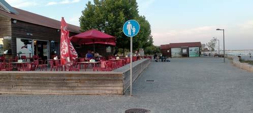
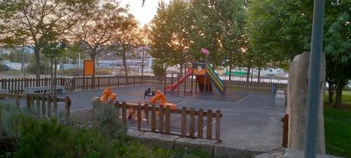
An important highlight of a cohesive element of this park is the presence of a site of historical and cultural meaning; the Nucleo Museologico A Povoa E O Rio (historical museum)— (Fig 15). It invokes the historical relation between the river and the urban populace and is now used as a cultural and educational/pedagogical centre that presents testimonies of early traces of ancient civilizations that interacted with this landscape as well as act as a place of landscape/environmental education of the Tagus River.
Conclusion
The requalification of public spaces in Lisbon city is indeed a working strategy towards addressing urban challenges in their different scales and dimensions. This is because public spaces are shared landscape figures which play an important role in knitting all other aspects of city use together. The MetroPublicNet’s approach of addressing these challenges through environmental resilience, sustainable mobility and social cohesion strategies is a valuable course of action and should be upheld. Parque Urbano da Povoa de Santa Iria is well fit into this structure of ameliorating public spaces as it prioritizes the environmental characteristics by providing adaptable green blue infrastructure, makes a step towards shifting to soft mobility by designing for it, and ensures a socially cohesive urban neighbourhoods through equitable access to the public space. As there is still development ongoing around the currently developed park (Fig16), the new plan for the surrounding spaces being developed should also complement the parks intentions of requalifying urban space at the river front.
References
“A Brief Presentation.” n.d. Accessed June 8, 2022. https://metropublicnet.fa.ulisboa.pt/index.php/about/briefpresentation.
“Linear Park Riverside of the Tagus Estuary | Visit Lisbon.” n.d. Accessed June 8, 2022. https://www.visitlisboa.com/ pt-pt/locais/parque-linear-ribeirinho-do-estuario-do-tejo.
“MetroPublicNet.” n.d. Accessed June 8, 2022. https://metropublicnet.fa.ulisboa.pt/.
“Museological Nucleus ‘A Póvoa e o Rio’ - Municipality of Vila Franca de Xira.” n.d. Accessed June 8, 2022. https:// www.cm-vfxira.pt/frontoffice/pages/1006?poi_id=169.
“Póvoa de Santa Iria Urban Park - Municipality of Vila Franca de Xira.” n.d. Accessed June 8, 2022. https://www.cmvfxira.pt/viver/ambiente/espacos-verdes-de-recreio-e-lazer/poi-41/parque-urbano-da-povoa-de-santa-iria.
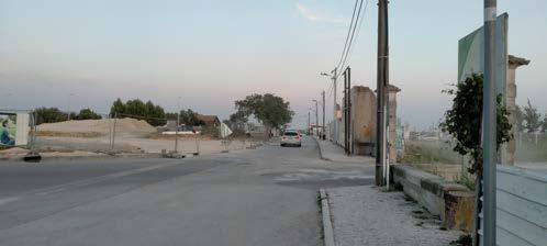
“Póvoa de Sta Ria | Urban Park XIRA.PT.” n.d. Accessed June 8, 2022. https://www.xira.pt/item/parque-urbano-dapovoa-de-santa-iria/.
“The Avieiros Da Póvoa ~ Document the World.” n.d. Accessed June 8, 2022. http://www.documentaromundo. com/2014/10/os-avieiros-da-povoa.html.
“Works.” n.d. Accessed June 8, 2022. https://www.topiaris.com/works/tagus-linear-park.
357
Fig.13: Children's Playground
Fig. 15: Hisstorical Museum
Fig. 14: Restaurant
Fig. 16: Ongoing development seen from the entrance to the
© Edwin Kabugi Karanja
© Edwin Kabugi Karanja
© Edwin Kabugi Karanja
© Edwin Kabugi Karanja
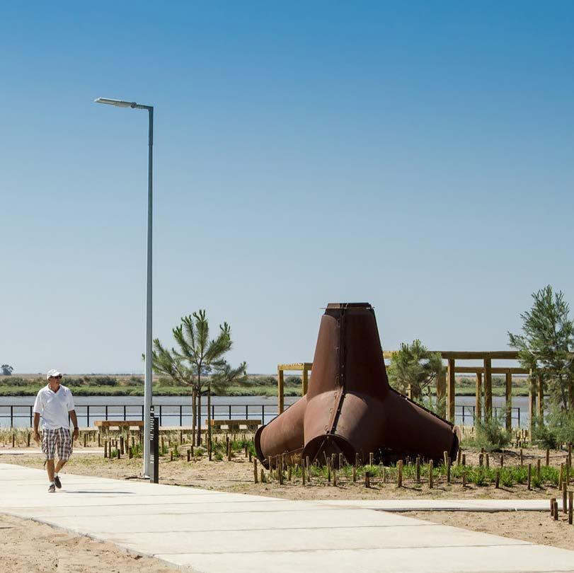
CASE STUDY ANALYSIS
Parque Linear Ribeirinho do Estuário do Tejo
359
04.19
GILLES HOUBEN
© Gilles Houben
PARQUE LINEAR RIBEIRINHO DO ESTUÁRIO DO TEJO
TOPIARIS Landscape Architecture
Design Team : TOPIARIS with ADA | Atelier Difusor de Arquitectura
Olavo Dias, Pedro Santos, Sérgio Marques, António Marciano (Architecture), INTEGRALUX (Lighting) & FTD - Pedro Delgado (Structure Engineering)
Location : Póvoa de Santa Iria, Portugal
Client : Vila Franca de Xira Municipality
Project Date : 2012
Completion Date : 2013
Area : 15 000m2
Awards :
• Archmarathon award, 1st prize in Landscape category | Lebanon, 2015
• Wan awards, 1st prize | London, 2016
• American Architecture Prize, Bronze medal | NY, 2016
At first glance, the site that evolves along the south waterfront of the Trancão river mouth seems to be restrained by clear limits. The Trancão and the Tagus clearly define the northern and eastern borders, while large mobility infrastructures such as the railway and the large A30 road run alongside the east. Even politically, the site is located at the very limit between Lisbon and Loures municipalities. But standing at such a crossroads of urban and landscape structures implies not only to consider these as limits, but also as beginnings, stepping stones, to a much larger scale. Indeed, the Trancão river mouth in Sacavém can be seen as the start of the river’s floodplains, the Tagus waterfront relates to the large waterbody between Vila Franca de Xira and Alcochete, and the mobility infrastructures insure connectivity to distanced urban areas. In that sense, this territory is regarded as a multi-scale entity around which the urban and the landscape unfolds into large structures. This intermingling of water and city is understood as a key identitary feature for Sacavém future development.
The challenge was to create a public space in a complex environment, where industrial, natural and agricultural features are intertwined, far from any other urban public space. Also, this new public space should not in any way harm the ecosystem present on the site, and aims to encourage the ecological regeneration of the area. To meet these different ambitions, the project combines two different typologies of arrangements. On the one hand, the park "Praia dos Pescadores", as a multifunctional space evolving in a well-defined area, is developed within a former sand deposit. On the other hand, around the park are several kilometers of trails, sometimes simple dirt roads, sometimes slightly landscaped banks along the water. Finally, a 700-meter long wooden footbridge starts from the park, not only anchoring it in this network of trails, but completing it at the same time. In this way, the "Praia dos Pescadores" is not only established as an element centered on itself, but is integrated both into the mobility network and the natural landscape of the Tagus riverfront.
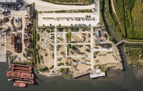
360
Figure 1
Before going into the park’s details, its layout and design that shape the way of living in it, this analysis begins by looking at the scale of the territory in which the project is located. The figure of the western riverfront of the Tagus estuary is very distinct from that of the eastern. Indeed, a very distinctive and defining thickness is structuring the western waterfront. It is very clear that the Topiaris project is implanted within that layer in which industries and marshlands alternate between the two lines formed by the waterfront on the one hand and the railroad on the other. It is then not easy for the public space to evolve in such an environment, where an evident lack of porosity and accessibility transpire, as a heritage of the industrial times. The main task of the park to come is then to reach the inhabitants on the other side of the railway by making the whole thickness less impermeable.
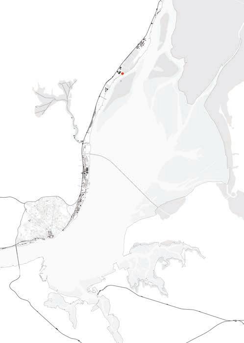
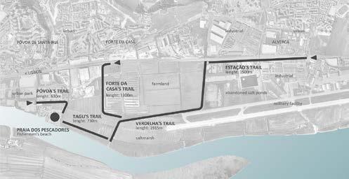
This being said, it should be noticed that the origin of the Praia dos Pescadores Park is part of a larger framework, that operates at the scale of the entire Lisbon metropolitan area. Indeed, the current ideology, and for some decades now, is to reconquer the riverfronts of the Tagus through public spaces. It is from this shift of mentality that Lisbon's urban planning seeks to foster the development of public spaces in the middle of this layer that has historically been, and still is, dominated by private industries. Thus, the project’s major strength, and that which will ensure its sustainability and success, is that it does not stand alone. It is not a self-centered public space that must rely solely on its own qualities to be successful. As soon as it was built, it was already part of a larger network, which it will consolidate in order to facilitate the development of a similar project in the surrounding area. Indeed, the Praia dos Pescadores park works in close relation with the Parque Urbano da Póvoa de Santa Iria, which was created at about the same time. Likewise, the upcoming project by the same Topiaris office, the Loures Waterfront, will connect these two public spaces to the Expo 98 Park of Nations. The waterfront is then the backbone, the linking element that ensures that all these new public spaces work together.
Also, it should be noted that public consultations were held to survey the communities regarding the establishment of the future landscape project, precisely at the location of the old beach so appreciated by the surrounding fishermen. It should be noted that among the people consulted, some showed apprehension towards the future project, worried that the place would be denatured of its identity and character. Despite this, the project continued, and was well underway. Although today it is highly appreciated, and those who were initially skeptical have recognized that the project has not only kept, but even strengthened, the spirit of the place, it is still appropriate to question the choice to continue the project despite the apprehensions of the locals. But still, the risk was taken and, fortunately, the project thrives.
361
Critical Analysis Figure 2 Figure 3
What is interesting to raise in analyzing this kind of project is that it testifies to the ambiguity relative to urban spaces that set out to reclaim the riverfronts. While the time is ripe for reclaiming riverbanks by developing public urban spaces, designing artificial banks and establishing a use for them, the time is also ripe for becoming aware of the changing, and often unpredictable, character of the water's movement. To design the riverfront is to design an architectural space that must be able to let the water evolve freely, without having it jeopardizing predefined uses.
In this case, the project presents a great diversity of uses, to which are assigned well-defined spaces. Fishing platforms and shelters, picnic areas, a volleyball court, a playground with old tires, various platforms for resting in the sun or in the shade under simple wooden pavilions, as well as a small building to organize temporary exhibitions or events. Together, all these uses generate a real "Playscape". It is precisely one of these uses, that of fishing, which will take care of the connection between the land and the water.
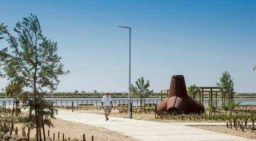
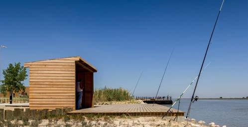
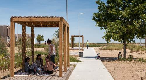
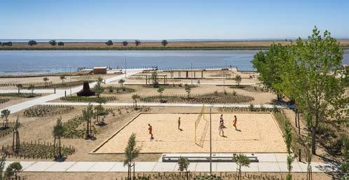
The wooden platforms that extend on stilts allow the water to be overlooked during high tides, providing a walking experience for passersby, but also comfort for fishermen. During low tides, as the water recedes, one detaches from this strong relationship with the water, to cling to the earth of the banks. Behind this careful relationship between land and water, the different spaces of the park are simply and efficiently arranged.
The main circulation is along concrete slab paths, and these form the main spatial structure that binds the whole ensemble together. Between these slightly elevated orthogonal paths, the secondary circulation is free on small sandy areas, within which are scattered pockets of low vegetation composed of native species. These same small areas allow free use. The further away from the shoreline, the more the spaces between the main concrete slab paths are occupied by more specific programs, which function independently of the tidal movement. Thus, the gradient of the park clearly appears: the closer one gets to the shoreline, the more free uses are possible and can change with the movement of the water, and the further one gets from it, the more autonomous uses are found.
362
Figure 7
Tidal movement
: Figure 4 Figure 5 Figure 6
It is always legitimate to question the durability of a public space by confronting its architecture to time. In this case, the Praia dos Pescadores park is a place flexible enough to see its use modified according to the spirit of the time. However, if the water level were to rise, the whole landscape of the marshes will be irreversibly changed. Reasonably safe, the experience of trails and wooden decks, slightly raised, will be maintained, although affected by the change of the landscape.
on 08/06/22)
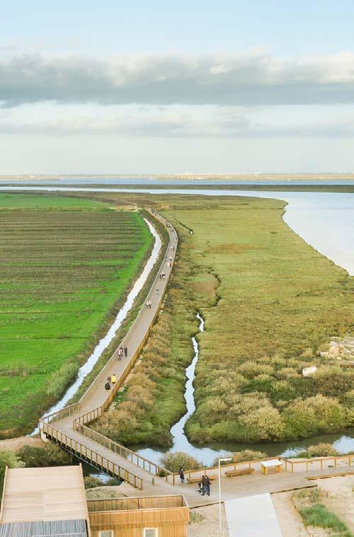
363
Bibliography :
Project credentials : https://www.topiaris.com/works/tagus-linear-park
Figure 2 : Drawing made by Gilles Houben
Conclusion Figure 8
Figure 1 and 3 to 8 : Joao Morgado, [no name], in ArchDaily, Tagus Linear Park / Topiaris Landscape Architecture, https://www.archdaily.com/515442/tagus-linear-park-topiaris-landscape-architecture, (accessed
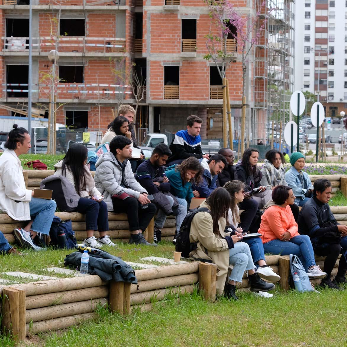
ACKNOWLEDGEMENTS
365 05
© Ana Beja da Costa
STUDIO LISBON: THE TRANCÃO FLOODPLAINS
Lisbon, Portugal
Institutional Support
Carlos Dias Coelho, Dean of the School of Architecture, Universidade de Lisboa
João Pedro Costa, President of CiAUD, Research Center for Architecture, Urbanism and Design, School of Architecture, Universidade de Lisboa
João Rafael Santos, Project Coordinator MetroPublicNet School of Architecture, Universidade de Lisboa
Tânia Mateus, Planning Department, Municipality of Loures
Jury Members
Tânia Mateus, Loures Municipality
Catarina Raposo, Baldios Arquitectos Paisagistas
Maria Matos Silva, ISA, U Lisboa
João Rafael Santos, FA, U Lisboa
Pedro Bento, FA, U Lisboa
João Pedro Costa, FA, U Lisboa
Kelly Shannon, OSA, KU Leuven
Bruno De Meulder, OSA, KU Leuven Viviana D'Auria, OSA, KU Leuven
Open Lectures Cycle
20th of April 2022 / Towards a Metropolitan Public Space Network: Mapping, Learning, Designing João Rafael Santos, School of Architecture, U Lisboa
Exploring the A5 highway as an urban infrastructure João Silva Leite, School of Architecture, U Lisboa
26th of April 2022 / Tagus Waters as a Physical and Abstract Support: a ping pong conversation on multiple scale narratives Maria Matos Silva, School of Agriculture, U Lisboa Caterina Anastasia, School of Architecture, U Lisboa
05th of May 2022 / Tropical Urban Natures for the 21st Century Kelly Shannon, OSA, KU Leuven Bruno De Meulder, OSA, KU Leuven
11th of May 2022 / Past, Present and Future Challenges of Housing in Lisbon
Filipa Serpa, School of Architecture, Universidade de Lisboa
Filipa Roseta, Elderwoman of Housing, Municipality of Lisbon
18th of May 2022 / Regeneration and Change: Providing Landscapes for People
Luis Paulo Ribeiro, TOPIARIS Landsape Architecture & School of Agriculture, U Lisboa
Landscape Systems & Processes
Catarina Raposo & Samuel Alcobia, Baldios Arquitectos Paisagistas
366
Student participants
Samantha Arbotante
Maria Rafaela Armoutaki
Yasmine Baamal
Fatma Ben Hfaiedh
Jules Descampe
Gilles Houben
Edwin Kabugi Karanja
Kshitij Makhija
Albert John Mallari
Ana Veronica Martinez Reyna
Kenneth An-Khuong Nguyen
Anagha Pandit
Taki Tahmid Saurav
Lakshiminaraayanan Sudhakar
Aliki Tzouvara
Michelle Estefania Valladares Vaca
Arthur Van Lint
Océane Vé-Réveillac
Noviantari
Teaching Team
Ana Beja da Costa
Post-Doc Researcher MetroPublicNet CIAUD, School of Architecture, Universidade de Lisboa
Wim Wambecq Atelier MIDI, KU Leuven
Booklet Layout & Editing
Wim Wambecq, KU Leuven
Ana Beja da Costa, School of Architecture, Universidade de Lisboa
367
ISBN 9789464447248
DEPARTMENT OF ARCHITECTURE

MASTER OF HUMAN SETTLEMENTS
MASTER OF URBANISM LANDSCAPE AND PLANNING