6 minute read
Act III: Survey - Part 1

Act III: Survey
Part 1
Advertisement
Survey specific sites to discover context-specific elements or fragments that determine the language of existing structures.
Project Site Site Analysis Surveying Photogrammetry Fragments Application 55


The site sits on a lot listed as heritage by DGA. The building was renovated between 2008 and 2014 before the blast reversed it.
The chosen site is tucked into the Rmeil block off of the main street of Gemmayze. It sits on a steep topography and is surrounded by a range of large trees that create a multiplicity of a defensive space whilst still being easily accessed; it allows for programmes and access to be both accessible but also safe for the queer bodies it is for. The unbuildable parcels shown at the start are also present within the surroundings, which imply a possibility of extending the production of the building into the open public spaces of the city.

Sector 71: Mar Nicolas RUE GOURAUD

Entrance to the site in January 2021. From the main street of Gouraud; the surroundings buildings remain upheld by temporary scaffolding until necessary funds are given in order to re-construct the damaged fragments. The streetscape is clad with the green mesh that protects rubble from falling onto the street whilst protecting the scaffolding and the structure from excessive wind and rain. Entrance into the building is on a steep hill in between two structures; a mid-twentieth century building and a nineteenth century heritage structure.


The damage of an ongoing heritage project
The house and a few surrounding plots are currently owned by the aristocratic Surock family (Lady Cochrane), which establishished significant positions of power within the Ottoman Empire. The Sursock palace behind the site is the family’s main quarters and became part of the long-term restoration of Lebanon’s heritage. Important as the physical preservation of the existing remains may be, still more urgent in Lebanon is the control of new construction and the education of the public to appreciate the values at stake. To further these ends in 1959 a small group of concerned citizens under the leadership of Lady Cochrane founded the Association for the Preservation of Sites and Old Buildings, 79 which established the following as its aims:
1. To support the preservation and restoration of buildings of artistic or historical value. 2. To aid in the development of understanding and appreciation of the artistic heritage of Lebanon. 3. To contribute towards the protection and improvement of natural sites and monuments. 4. To encourage high quality architecture and urban development. 5. To fight ugliness resulting from poor planning or lack of maintenance. 6. To stimulate the interest of the public in all questions relating to the environment. Since 1966, the family began their work in an attempt to withstand the quickly expanding city; the restorations consisted 8 nineteenth century residences, 1 hammam, 2 early twentieth century apartment buildings and 6 gardens.
The building faces north, and the blast came from the port which is located south-south-west. The north and west façade were the most destroyed, physically breaking the stone walls on the second floor from point of impact. As the building sits on a hill, the vibrations and waves from the explosion were exposed to the two facing elevations.
The roof was also partially damaged, breaking a number of the red tiles and leaving the secondary structure at risk. The Baghdadi ceiling on the north/west room was also partially destroyed, damaging fixtures and the detailed plaster elements.
Most windows, doors and shutters on the first and second floor of the north and west fronts were also destroyed, but the lower ground floor was less damaged, protected by the buildings in front and the trees.


Image source: current owner of the house, Alfred Cochrane


During my visit in December; I was able to survey the current state of the building; where most items are being supported by temporary scaffolding and covered with plastic sheets in an attempt to simply maintain the structure and withstand the winter climate. The survey was done in order to engage with complex geometries and ideas and consolidate with the destruction; this can then allow me to identify the structural requirements and what needs to be taken care of.
Archiving the damage
The role of surveying:
1. Recording, documentation and information management 2. Cultural heritage information systems 3. Digital image processing 4. Surveying methods 5. Archaeological objects, monuments, sites and landscapes

Front/North facing facade was not attainable as construction elements blocked viewpoint.

Photogrammetry Video:


Temporary scaffolding Damaged balcony

Working platform
Screed/plaster stone wall Back façade; rectangular shutters


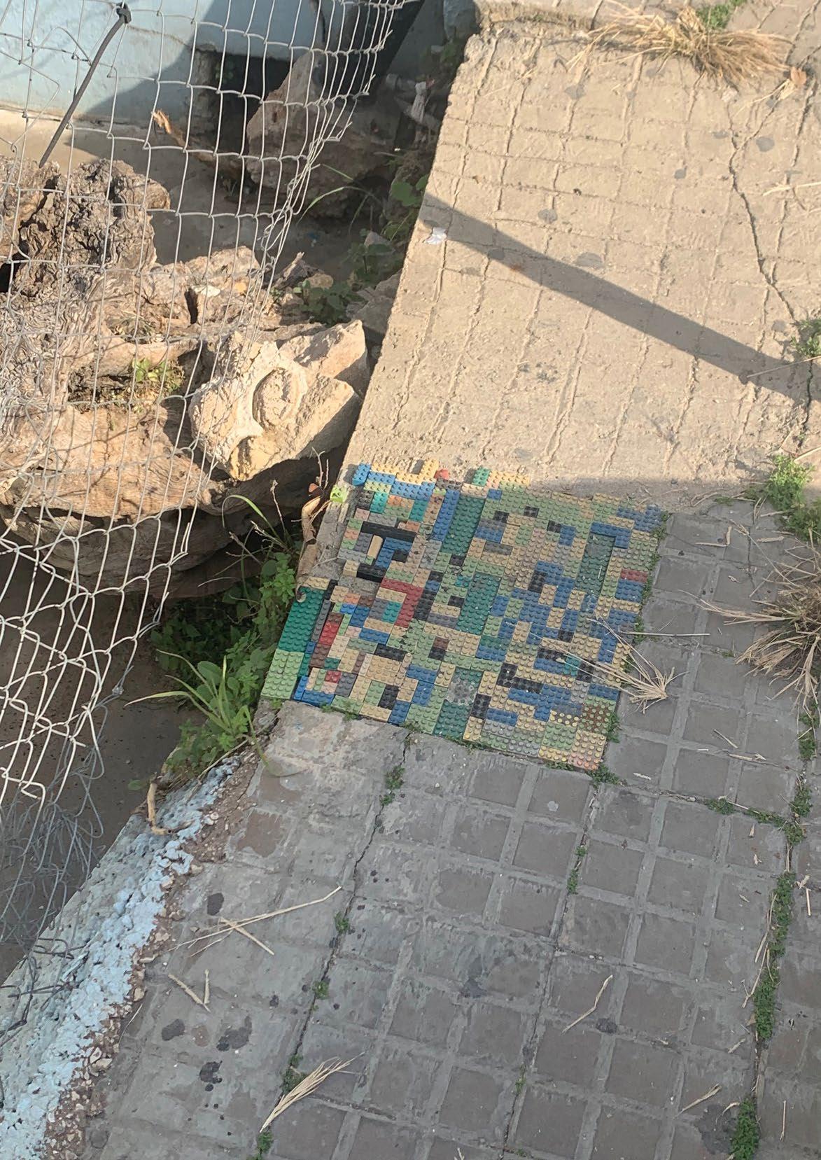
These fragments are reproduced in order to understand the language of the existing building. The relationship between control and access are visualised; the first design strategy is to redefine what these domestic elements function as. Exploiting them, re-using them and redesigning them.
The relationship between control and access are visualised by these fragments, ensuring that the right people are accessing the future building and preventing the one’s who could be deemed dangerous to access the space.