1 minute read
Statement of Purpose


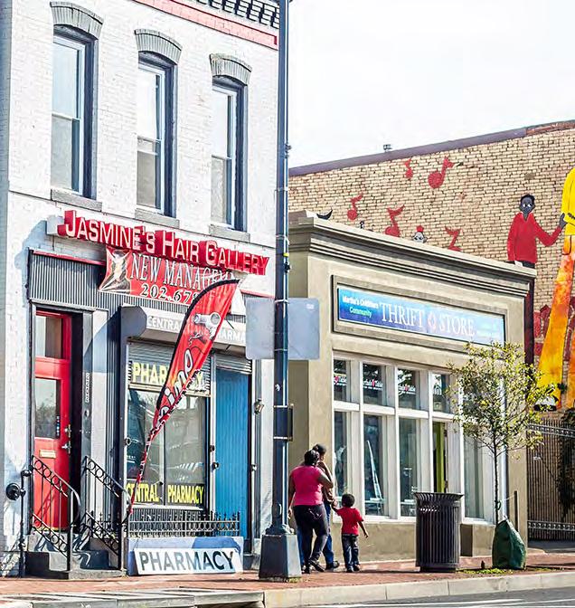
In Fall 2022, a Studio group of a dozen students in the UPenn Masters of City & Regional Planning program focused their study on the eight-mile stretch of Anacostia River in Washington, DC from US Joint Base Andrews property at the Southeast to the District’s boundary with Maryland to the north. For the purposes of this project, the area is referred to as the Anacostia River Corridor or the River Corridor.
Running directly though the River Corridor is a 6-mile stretch of DC-295, which is D.C.’s only state highway. The highway serves as an important regional and local connector, but is also a significant barrier for nearby residents.
Advertisement
The premise of this studio is to look critically at the future of transit and development in the Anacostia River Corridor, with a focus on creating an equitable and resilient alternative to the highway. The materials produced for this Studio provide the D.C. Office of Planning (DCOP) and the D.C. Office of Energy and Environment (DOEE) with the preliminary materials needed to start an advocacy planning process in the Anacostia River Corridor.
The UPenn students worked closely with instructors — Nando Micale, Principal with the Philadelphia studio of LRK, and Danielle Lake, LRK architect and urban planner/designer and UPenn alumni — on developing this plan. The Studio also benefited from input from select members of the District’s Office of Planning (DCOP), Office of Energy and Environment (DOEE), and the larger Anacostia Waterfront Corridor Working Group (Working Group).