
3 minute read
HOUSING STANDARDS
Housing Infill Considerations
The Midtown Neighborhood core is defined by its single-family housing stock, specifically the portion of the neighborhood south of Avenue H. The contributions of these structures are a defining element of the character for the plan area. A significant portion of the homes in the plan area were built before the 1960s. This is reflected in the smaller house size and the prominence of single lane driveways with detached garages.
Key Single-Family Elements
Detached Garages
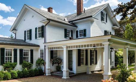
Enhanced Single Lane Driveways
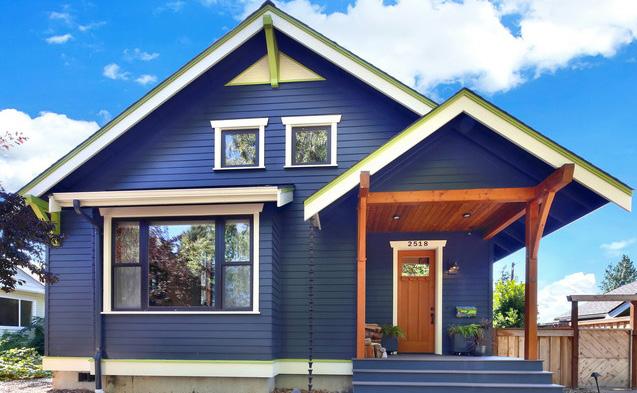
Infill to Match Character
Key Duplex Elements
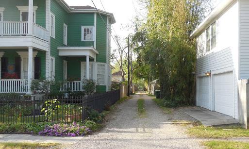
Alley Utilization
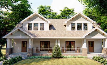
Match Single-family Character
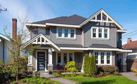
Primary Front Door and Secondary Front Door
Architectural Enhancements

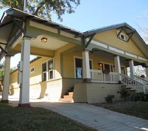
Porte-cochere Awnings
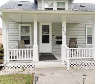
Porch Shutters
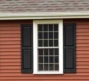
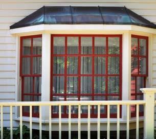
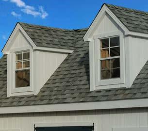
Bay window Dormers
Neighborhood Conservation Overlay District A Neighborhood Conservation Overlay District is a tool used to manage a neighborhood’s revitalization to ensure that inherent character elements remain. This tool is an extension of the base zoning district and typically focuses on lot size, setbacks, streetscapes, and tree protection. These protections focus on providing certainty and compatibility between new and existing development. A Neighborhood Conservation Overly District may include both residential and commercial land uses. Only in certain circumstances would it be appropriate to use a Neighborhood Conservation Overlay District. Neighborhoods must possess a distinct land use pattern, predominant scale/spacing, similar construction type, contributing open space/streetscape elements, and proximity to or contributing impact on historic landmarks or districts. Additionally, there must be support from the affected population within the proposed Neighborhood Conservation Overlay. Desired Outcomes from a Neighborhood Conservation Overlay District • Promote high quality of life and livability standards; • To protect and promote unique physical features and valued aesthetic appearances; • To stabilize and invigorate neighborhood economic conditions; • To reduce conflicts from development and investments into the neighborhood through added regulatory certainty; • Encourage a sense of place and source of neighborhood pride; and • Provide a path forward for orderly redevelopment within the City; Criteria to consider for a Neighborhood Conservation Overlay District • Contain at least one block face or all lots on the same side of a block • The area has been developed for at least 25 years • 75% of land in the proposed area must be presently improved • Possess “principal design feature” that is cohesive for character establishment: • Scale, size, type of construction • Spatial relationships between buildings • Lot layouts, including setbacks, sidewalks, and alleys • Natural or public space characteristics such as creek beds, parks, greenbelts, or street landscaping • Land use patterns, a similar mix of uses • Abuts or links to designated historic landmarks and/or districts. Establishing a Neighborhood Conservation District Overlay • Director of Planning and Development initiated rezoning, pursuant to a neighborhood or community plan adopted by City Council, or city or community revitalization program; or • Neighborhood initiated application for rezoning (support from majority of affected landowners) • Boundary and site inventory review (establishment of a base district boundary for zoning map) • Create development standards and identification of “principal design feature” • Create voluntary design guidelines (extra design or architectural guidance) • Public hearing and final adoption, conducted by Planning & Zoning Commission and City Council.


