
PORTFOLIO
JESSICA TIEN-HSIN SUNG -2022-
TIEN-HSIN SUNG JESSICA
My profound passion lies in exploring the interdependence between humanity and the natural world, with a keen interest in leveraging natural techniques in landscape design to address environmental challenges. To me, landscape design represents a harmonious and sustainable means of fostering relationships among all forms of life while promoting aesthetic appeal.
EDUCATION
Nov 2020 - Dec 2022 MA in Landscape Architecture | University of Sheffield , United Kingdom
Sep 2014 - Jun 2019 BA in Landscape Architecture | Tunghai University , Taiwan
WORK EXPERIENCE
Part-time | May 2019 MAYU architects, Taiwan
- Detail model making for a hospital park government competition
Jul - Sep 2017 Internship | Yuanpuu Landscape Engineering Co., Taiwan
- Participate in post-design phase of the 2018 World Flora Expo
- Site survey for redesign of a recreational woodland park
- Site analysis and pre-design phase concept development
HONOUR & AWARDS
2017 3rd Place | Tunghai University and National Chiayi University combined final critique
- Regional planning strategy and landscape design of a declining fishing port
Finalist | 2016 IFLA Taiwan and Taiwan Institute of Landscape Architects
- Landscape design for the renovation of a historical train station
OTHER EXPERIENCE
Volunteer | Mar 2021
Sheffield Botanical Garden, Sheffield, UK
- Vegetation clearance for new planting design
INFO
Nationality | Taiwanese
Date of Birth | 22 MAR 1996
Phone | +44 7 9010 76274
E-mail | jessica.landscape2020@gmail.com
Visa Status | 2 years graduate visa
Language | Mandarin - native / English - fluent
Jun 2021
Volunteer | Ash Tree Yard, Sheffield, UK
- Planting the front garden for the bike shop
May - Jul 2019 Design Exhibition Organiser of the Landscape Dept., Tunghai University
Jul - Sep 2017
Jul - Sep 2017
SKILL
Group Leader | Photographer |
2nd year Design Studio, Tunghai University
Landscape Architecture Student Association, Tunghai University
Illustrator Sketchup Office Suite AutoCAD Lumion
Photoshop
InDesign Rhino
Lightroom
ArcGIS
2



-113.5 -114.5 -114.5 -115 -113.7 Lake exposed aggregate concrete epdm rubber Deck recycled plastic wood 012 1 7 4 5 6 A-gang-dian River Houjin River Dian-Bao River Love Rive The Spying Donut A The Reed House 04 Content 18 12 22 15 28 The Enjoyment Park Redesign of Crookes Valley Park Competitions The Wildlife Pavilion & Taichung New Station Landscape Design Circle of Life Regional Planning & Urban Design The Middlewood Park Woodland Park Design and Management To-Gather Urban Street Scape Design/ Micro-environment Wetland Ecosystem Stepping stone Design
The Middlewood Park
Woodland Design and Management
Academic | Graduation Project, Nov-2021- May 2022 Location Manchester, UK
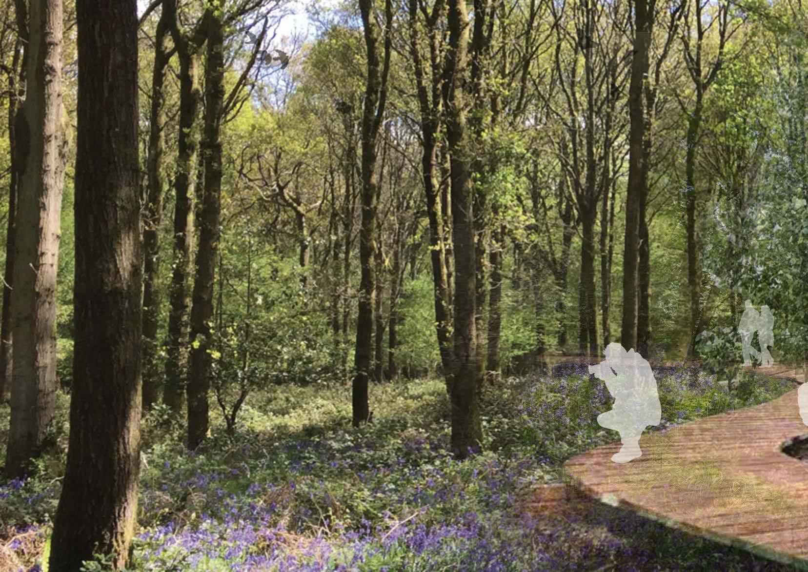
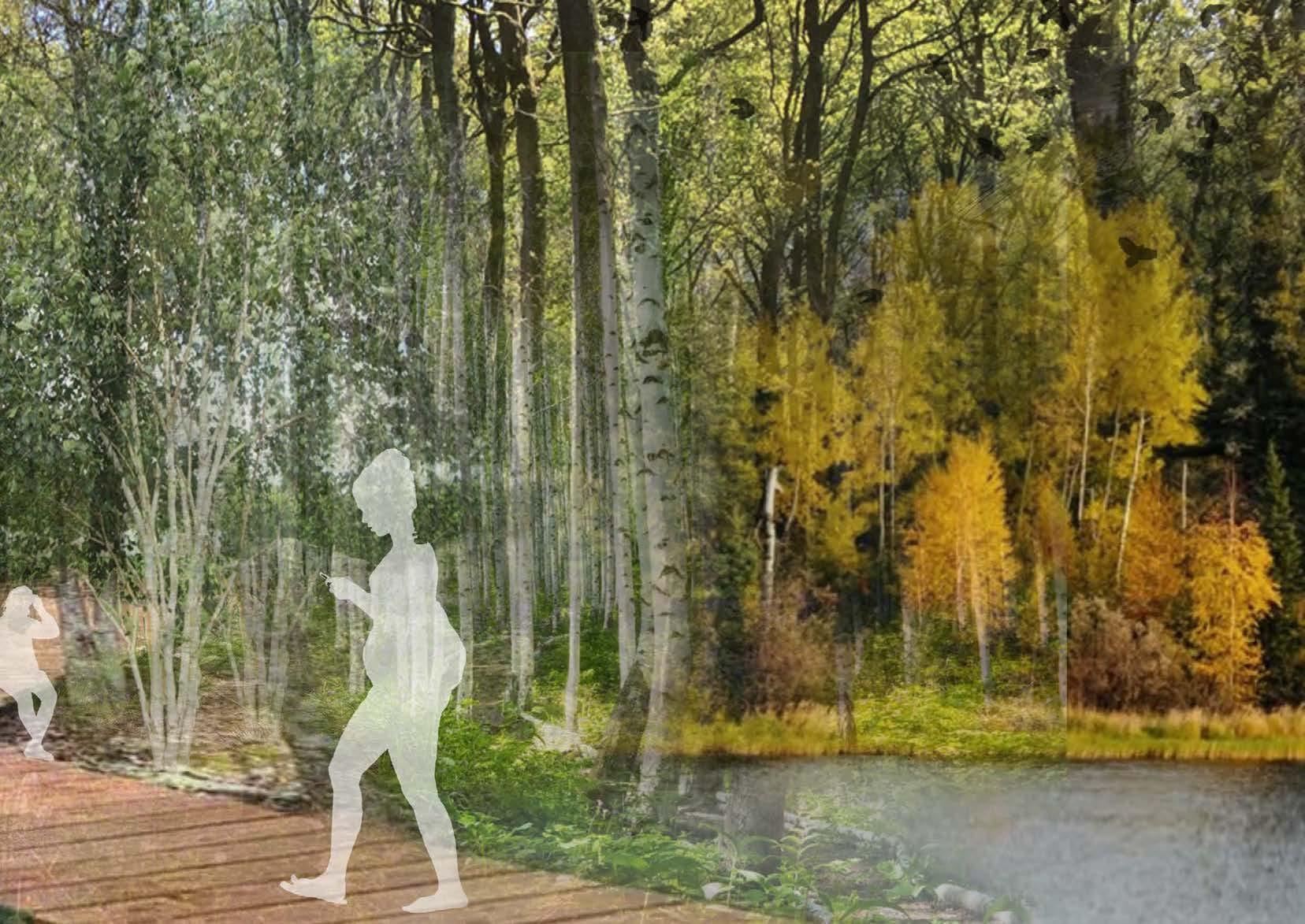
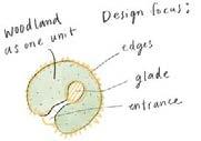
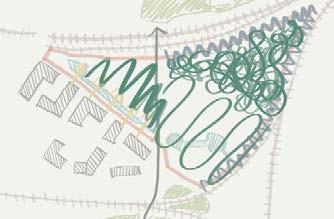
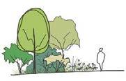
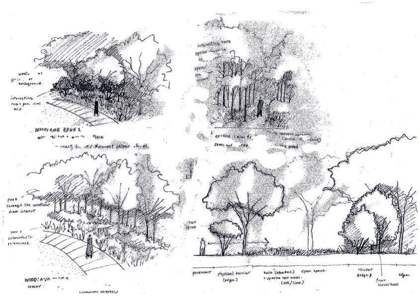
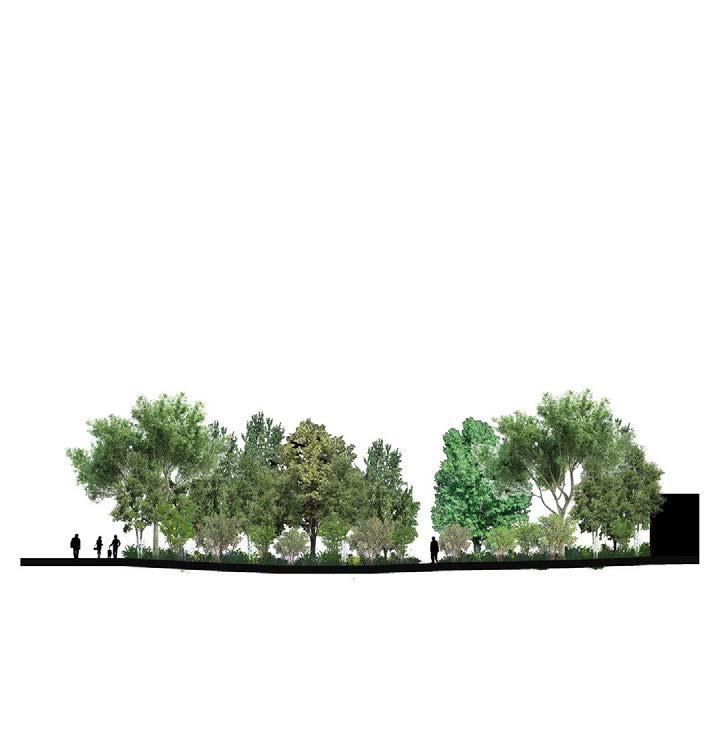
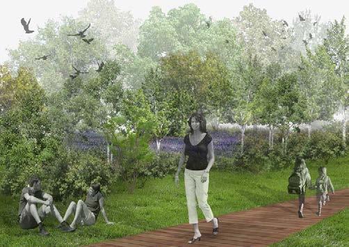
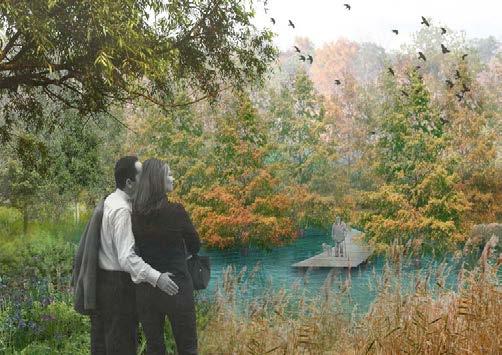
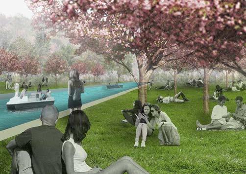
The project aims to establish a sustainable urban woodland for escaping city life and reconnecting with nature. With an exciting woodland in the urban fabric that provides a sense of escape for busy urbanites from the hustles of city life. The park offers a higher quality of “close-to-nature experience” by featuring various types of woodland and aims to enhance the biodiversity in the urban area.
-Research & AnalysisTo Bolton
City Centre of Salford Important historical featureCathedral Church of St. John
To Manchester To Liverpool
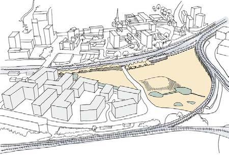
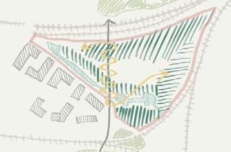
New Residential Flats Railway Viaduct The site is sorely isolated from both city centres by the viaduct which is 8m height difference.
Isolated/ Unwelcome/ Deserted Near city centre/ New mixed used housing
Limited access of quality green space in high density area


U rban W oodland P ark
Connect with Nature Increase Biodiversity

Climate
Change
6 The Quarys Manchester Salford Trafford 15 minutes wa k g d tance 25 minutes walk ng d n e -Concept-
-VisionEOrdsallLn
Stitching the site Woodland Style Woodland Interior Woodland Edge Woodland Desgin P ro P osed s olution Uniform Open Neat Calm Relax Recreational Organic Intensive Enclose The Quarys Manchester Salford Trafford Principle Transport RiverIrwell Site The Quarys Manchester City Centre Salford Trafford Road Motorway Railway Project Site Tramway The Quarys Manchester Salford Trafford High density residential Mid density residential Low density residential High percentage age 16-34 High percentage age over 84.9%-99% High percentage shared house Allotments Community Growing Spaces Playing Field Other Sport Facility Cemetery High ood potential from rivers Inland water Deciduous woodland High density residential Medium density residential Low density residential Urban centres Public open green space Train station Project site
For local and serve as a stepping stone system in the wider context connecting Manchester and Salford
Adapt to
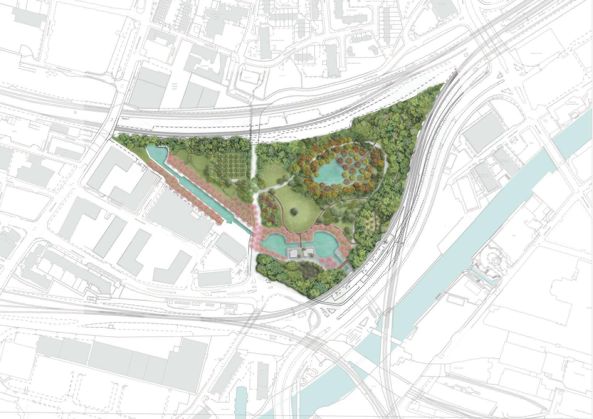

8 9 4 5 10 11 12 13 15 16 16 7 1 2 3 6 E Ordsall Ln.
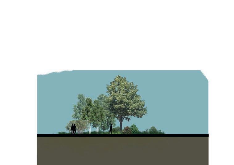
Ring Rd. 051020 50m 1 2 3 4 5 6 7 8 9 10 11 12 13 14 15 16 Main Woodland The Pond Wet Woodland Hazel Grove Collective Tree Garden Canal Cafe Hazel Playground Woodland Edge Mix C The Field Woodland Edge Mix B Main Woodland Orchard Cherry Grove Sunken Theatre Woodland Edge Mix A A A’ C C’ D D’ A’ E E’ Railway Viaduct 01 5 10 15m core railway swale flora meadow open field edge edge path AA’ Section
Section
HampsonSt.
BB’
-Design & Management-
8
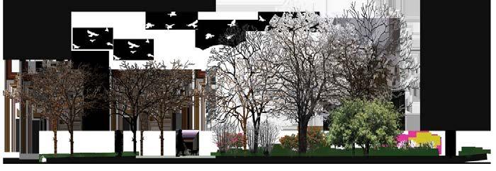
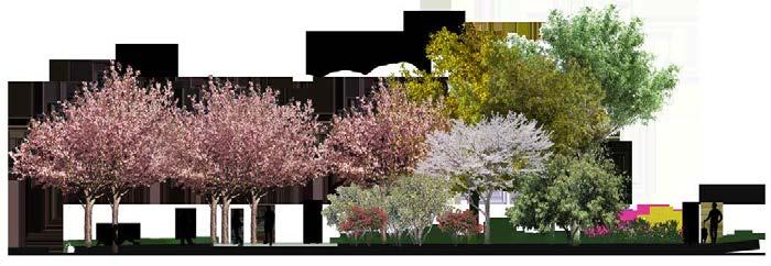
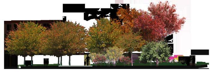
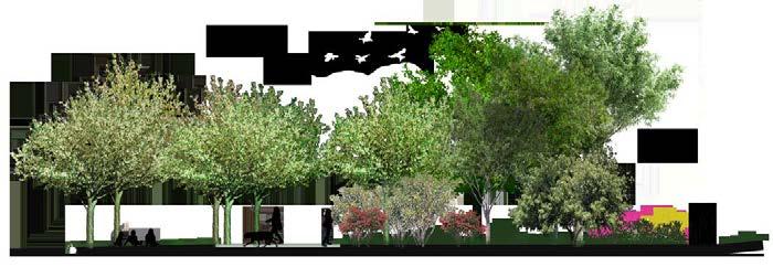
Spring Autumn
Summer Winter
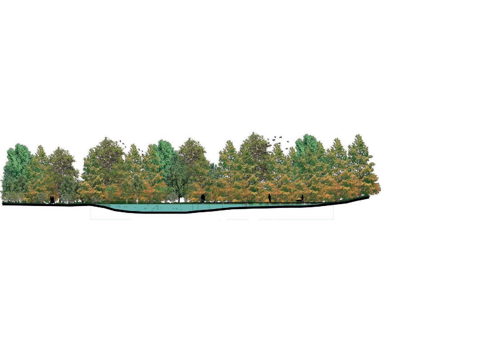
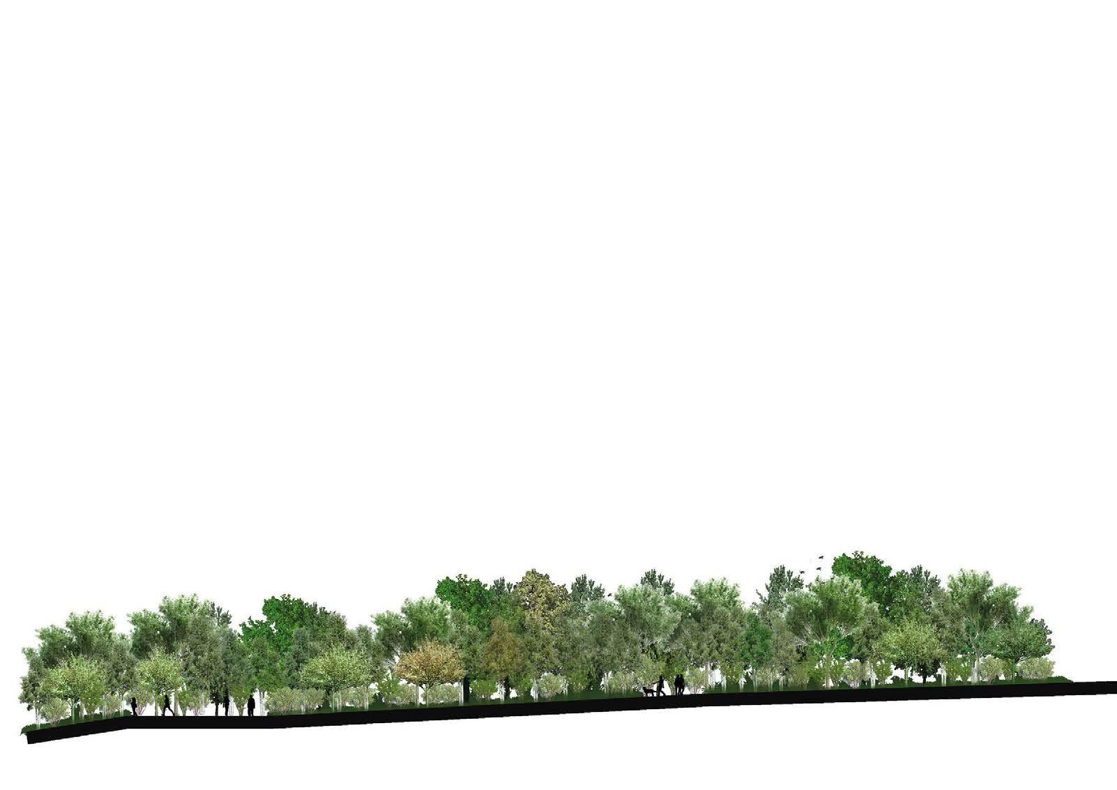
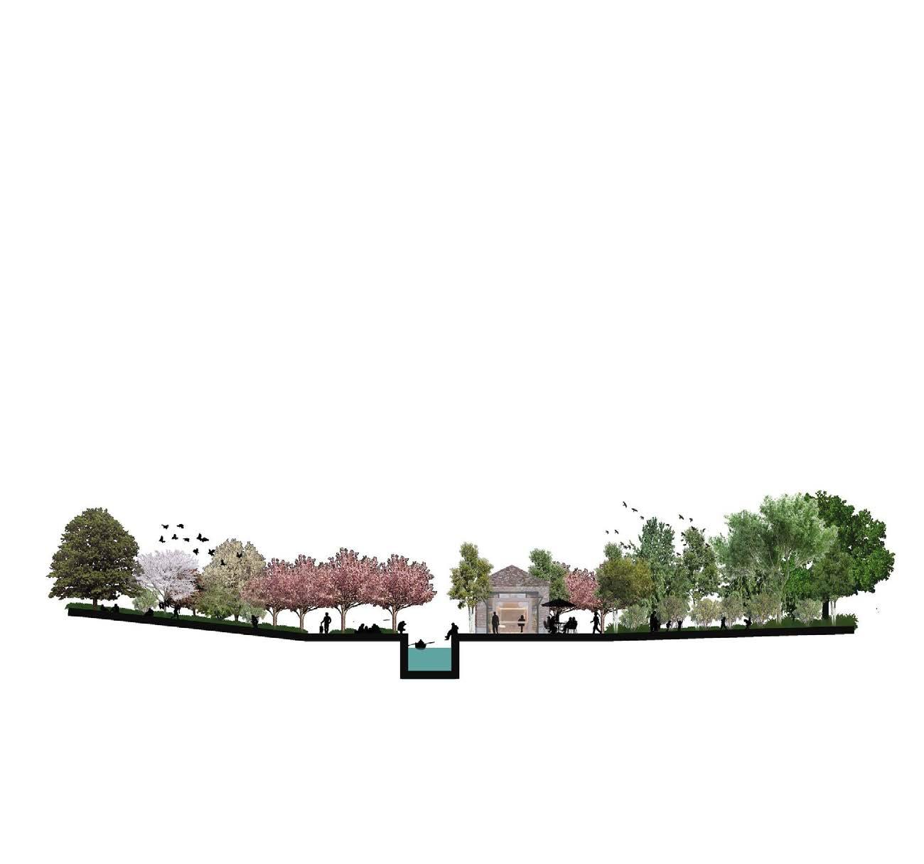
01 5 10 15m 015 10 15m path the field (hill)
woodland path wet woodland edge woodland core woodland core glade main path edge edge edge path
cherry grove cafe & boat rental hazel playground canal
CC’ Section
DD’ Section
EE’ Section
-Woodland Management-
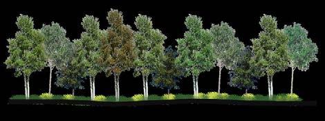
Winter
FEATURES
Deceduious tree structure Evergreens
MANAGEMENT
Perennials cut back Coppicing Tree felling
Summer
FEATURE
Spring
FEATURES
Spring bulbs Cherry blossom
MANAGEMENT
Vegetation & Species survey
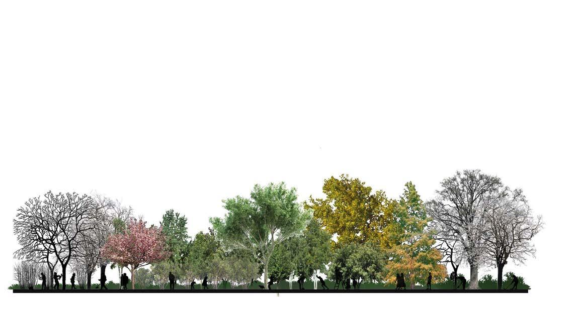

Autumn
FEATURES
Wild flower Paddling boat
MANAGEMENT
Planning winter work
Fruit harvest Autumn colour
MANAGEMENT
Plant new vegetation Pond clearance
10
JAN FEB MAR APR MAY JUN JUL AUG SEP OCT NOV DEC
-Design Process Sketches-
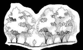


11
To-Gather
Academic | Urban Design Project, Nov 2021- Dec 2021
Collaborate Charlotte Cheuk In Lau, Kam Tin Tong Location | Kelham Island, Sheffield
This project aims to improve pedestrian accessibility, vary spatial functions, and enhance socialisation. By blurring the boundaries between “purposeful necessary activities” using the transitional edges to establish an active living-working space. And create vary functional micro-evironment to embrace all kinds of different needs.

-Research & Analysis-
-Design Strategy-
Transitional edges is a conceptual framework that conceptualise urban street edges as integrations of their social, spatial and material dimensions. Using these three aspects to analyse the street scape and the relationship between the buildings and the people to decide the spatial form and functions in the design phase.
1. Strentghen pedestrian flow in car dominated street scape.

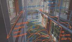
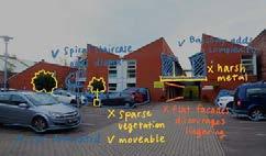
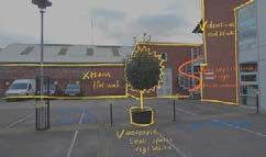


2. Create stopping point to encourage social convention.
-Model Development-
Spatial functions of indoor, outdoor areas, and transitional edges.


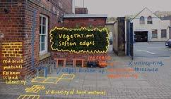

Proposed plan based on user requirements and the three element of the

13 MATERIAL SOCIAL
SPATIAL
-Street Scape Design-


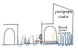


14
This is the entrance of the high street. With an additional building connecting the existing balcony, to create a spatial sequence from private to public. The archway provides a focus vision of the riverside on the ground floor, intended to draw attention and encourage the movement down to the river edge.
Circle of Life
Sustainable Daily Life and abundant Wildlife
Academic | Planning/Design Project, Feb 2021- May 2021
Collaborate Tianfeng Zhu, Yuwei Zhang Location | Sheffield, UK
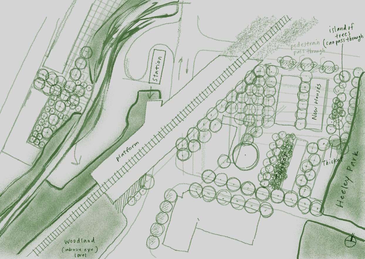
The vision of “Circle of Life” is to strenghten the green link, restore River Sheaf, and improve community connection. The 2 goals of the planninng stage are: 1) Increase the woodland coveage by 15% in the catchment area to restore habitats and improve flood defence; II) Introduce new housing style that provides 5000 new homes. The design stage promote a walkable city with an intensive urban treescape in the site of Heeley Station.
-Research & Analysis-


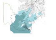


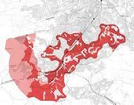
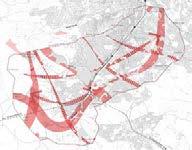
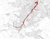
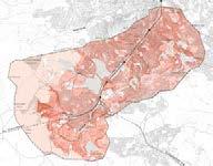
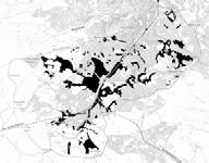
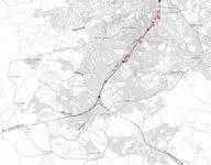
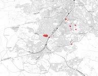
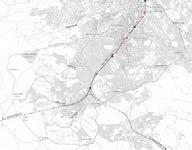

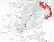
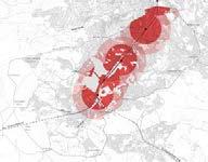

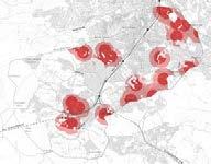
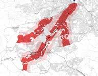
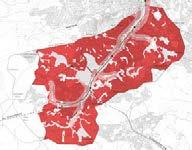
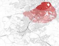

16
New Housing Suitability Map Existed Woodland and Moorland Major Roads Train Stations Tramway Flood Risk Schools Distance from City Centre Big Boxes New Woodland Suitability Map Existed Woodland Slopes Proposed Green Link Green Network Expansion Flood Risk Brown fields Car Parks Big Boxes pre 1900 1900-1918 1965-1972 1973-1982 1983-1999 2000-2015 1919-1939 1945-1964 LOSA Boundries Detatched Houses LOSA Boundries Semi-Detatched Houses LOSA Boundries Terraced Houses LOSA Boundries flats Flats N Dore Totley Bradway Holmsfield Lidgate Owler Bar Greenhill Beauchief Millhouse Woodseats Heeley Highfield Lowfield Parkhead Whirlow Chancet Wood Meadowhead Norton Sheffield City Centre 0.5 2 3 4 KM 1 Listed Buildings 2-3 4-6 7-10 over 10 (stories) Legend Building Height/ Listed Buildings Green Infrastructures GreenInfrastructure RiverSheaf MeersBrook Blacka Dike LimbBrook Abbey Brook RedcarBrook OldhayBrook Totley Blue Infrastructures BlueInfrastructure Flood zone Affected Building Area Flood zone 30 Planned Culvert Surveys LandUse High density residential with retail areas Complex buildings various Retail park areas School areas Playing field Park Garden Cemetery Sport space Land use changing Other road Railway
Flood
convert
-Planning Strategy-
The project “Circle of Life” aims to bring healthier, more convenient daily life, and abundant, biodiversity wildlife to the residents of the catchment of River Sheaf. By inserting different scale of green infrastructure connecting the green mosaic in the catchment area helps ease many environmental issues (e.g. floods and air pollution). Green infrastructures such as parks, private gardens, street trees, public open green space, green roof and living walls are the green fingers stretch in the developed area to establish better interactions between people and nature.

The River Sheaf is where Sheffield city got its name from. Opening up some of the river bank for more public green spaces and make the river more approachable for people. On the other hand, introduce woodlands alongside the river to support the flood defence and as ecological stepping-stone systems for wildlife habitats.
The current housing style and dwelling density patten in the catchment area is mostly base on land price and the distance from Sheffield city centre. The age of the population increases as going upstream of the Rive Sheaf. “Circle of Life” promotes mixed housing type communities in new development areas, introducing people from different ages living together to form healthier and more supportive community.


17 N 00.5124KM
Low Density 25% 45% 30% High Density Midium Density
Transportation Secondary road Primary road Existed cycling path Propose cycling path Tramway Propose Tramway Railway (Existed station) Propose stations NewHousingArea High density (75-100 dwellings/ ha) Medium density (50-60 dwellings/ ha) Low density (30-40 dwellings/ ha) NewWoodland Others Flood defence area Sheffield city centre 1 hectare Woodland (50m* 50m per square)
defence Peak District Dore Totley Dronfield Sheffield Station Archer Road Station Heeley Station Millhouse Station To Manchester To Chesterfield Exisited Connection Lack of Connection Train Existed Tramway Proposed Tramway Patches Stitches Exisited Green Link (management) Potential Green Link (prioritise development)
Defence
car parks and some retails alongside the riverbank into green space to restore the river. Create linear and pocket woodland areas to reduce rainwater runoff as flood


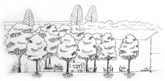


18 A A’ B B’ C C’ RiverSheaf 051020m 01210m 012510m012510m -Street Scape Design-Model DevelopmentAA’ section BB’ section CC’ section Platform
The Enjoyment Park
-redesign of Crookes Valley Park

Academic | Park Design Project, Oct 2020 - Dec 2020 Location | Sheffield, UK
The Crookes Valley Park has an exciting character, with its intense level change, great seasonal interest, and a pool in the middle. This project focus on smoothing the level difference to create the detail design of a playground that encourages natural play style.


20 A A’ B B’ 015 10 20m -113.5 -120 -117 -119 -129 -121 -115 -114 -114 Viewpoint view of Art Tower Slope sunbath, grass skiing boat renting Boat House The Dam House pub and viewpoint birds and ducks hidding place Ecological Reserve Area Woodland habitate and natural experiences Entrance Route gentle slope and shortcut steps Playground Area for kids from different age Skate Park separated by vegetations for different uses Lake boating, fishing, swimming, duck feeding Field sport uses, events and activities B -113.5 -114 -115 -114.7 -113.7 -113.7 Lake epdm rubber 012 4m


A A’ B’ C C’ -114.5 -114.5 -115 -117 -114.7
epdm
rubber Sand
012 4m 012 4m 012 4m 012 4m 012 4m
wood texture stamped concrete brush finishing concrete exposed aggregate concrete
rubber
Lawn Playground Deck recycled plastic wood
AA’ section The Deck
BB’ section Playground
CC’ section The Lawn
Wetland Ecosystem Stepping-stone Design
Academic | Graduation Design Project, Sep 2017- May 2018
Team Member | Tien-Hsin Sung, Chew-Chieh Goey Location | Kaohsiung, Taiwan
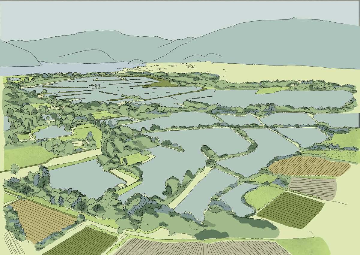
This project aims to create a similar wetland habitat between the two existed wetlands but with a different character. By restoring and creating new habitat between existing ones, it connects the many wetlands and green lands in the city, forming a stronger ecological corridor/web for species migration and habitat restoration.


-Research Area Analysis-
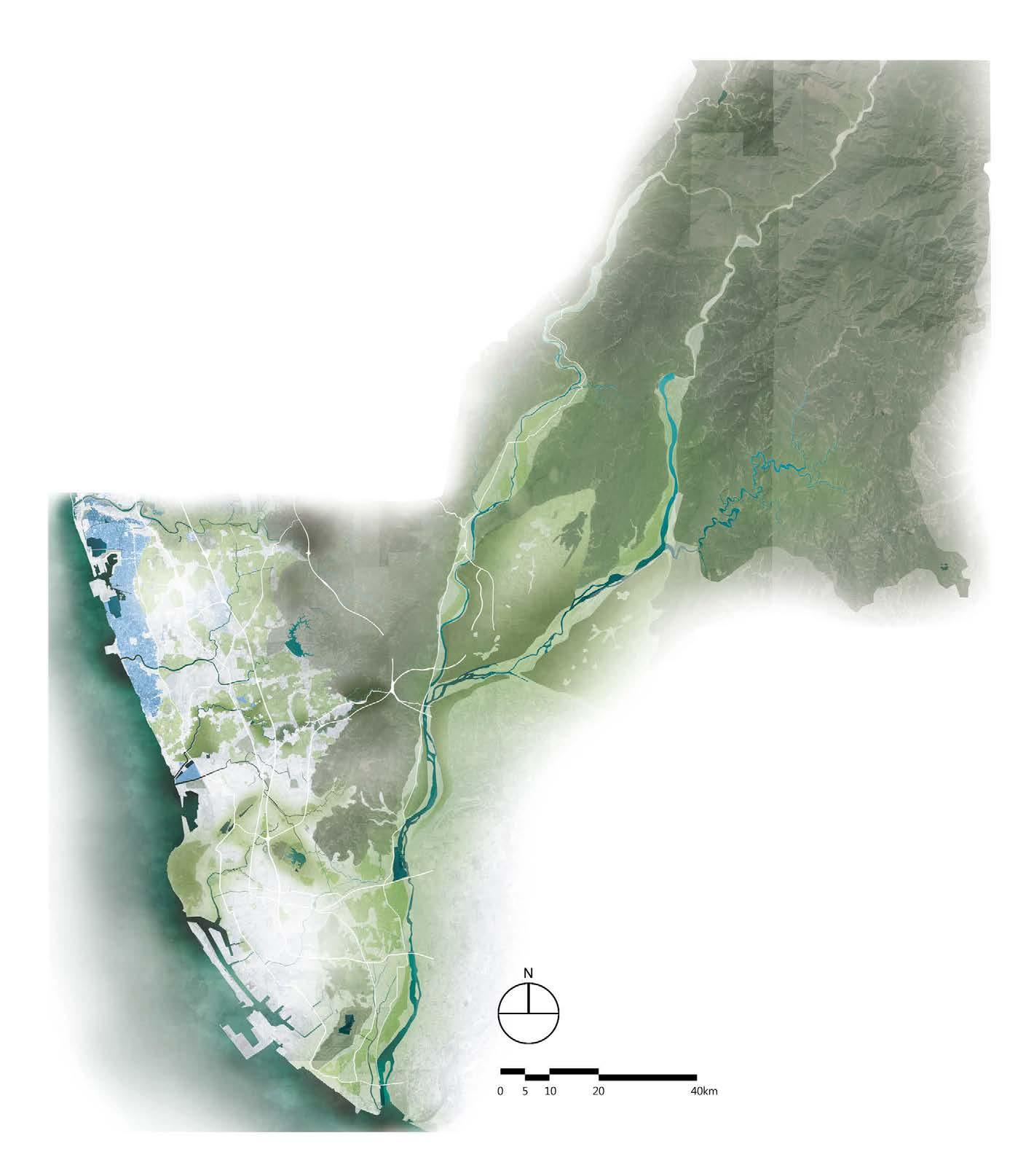
The urban sprawl result in fragementation of the habitat, causing gradual migration and extinction. From the perspective of spe cies conservation, we intend to establish ecological corridors for animals in the most developed areas, in order to connect the broken habitats in the city. In addition, to provide habitats for migration, foraging, courtship and gene flow opportunities. Furthermore, the ecological co rridors also filter pollutants, prevent soil erosion, and regulate floods. They are important green infrastructures among the highly developed citi es. We expected that in places where humans are densely populated, it is also possible to preserve a place where animals rest and live. Even mo re it can enhance residents’ knowledge of ecological conservation.


24 1 8 7 4 5 3 2 6 9 10 12 11 Gaoping River
River Houjin River Dian-Bao River
Rive
Wetland National Wetland Jhouzai Wetland 1 Banping Lake Wetland 2 Nanzihsiian River Wetland 3 Yongan (Salt Pan) Wetland 4 Jiading Wetland 5 Wetland of the National Kaohsiung University 6 Yuanjhong Harbor Wetland 7 Banping Lake Wetland 8 Niaosong Wetland 9 Railway Bridge Marsh Park 10 Fongshan Reservoir Wetland 11 Linyuan Manmade Wetland 12
A-gang-dian
Love
Local
Natural wetland habitat Wetland habitat in urban area
Niaosong
Jhouzai Wetland 1 Banping Lake Wetland 2 Neiweipi Wetland 3 Jongdu Wetland 4 Niaosong Wetland 5 Jiufanpi Wetland 6 Shezailinpi Wetland 7 Benhe Detention Pond 8 Lianchihtan 9 Cheng Ching Lake 10 Love River 11 Ban-Ping Mountain 12 Shoushan 13
Future vision of urban habitat Zuoying
Gushan
Nanzi
-Vision & Concept-

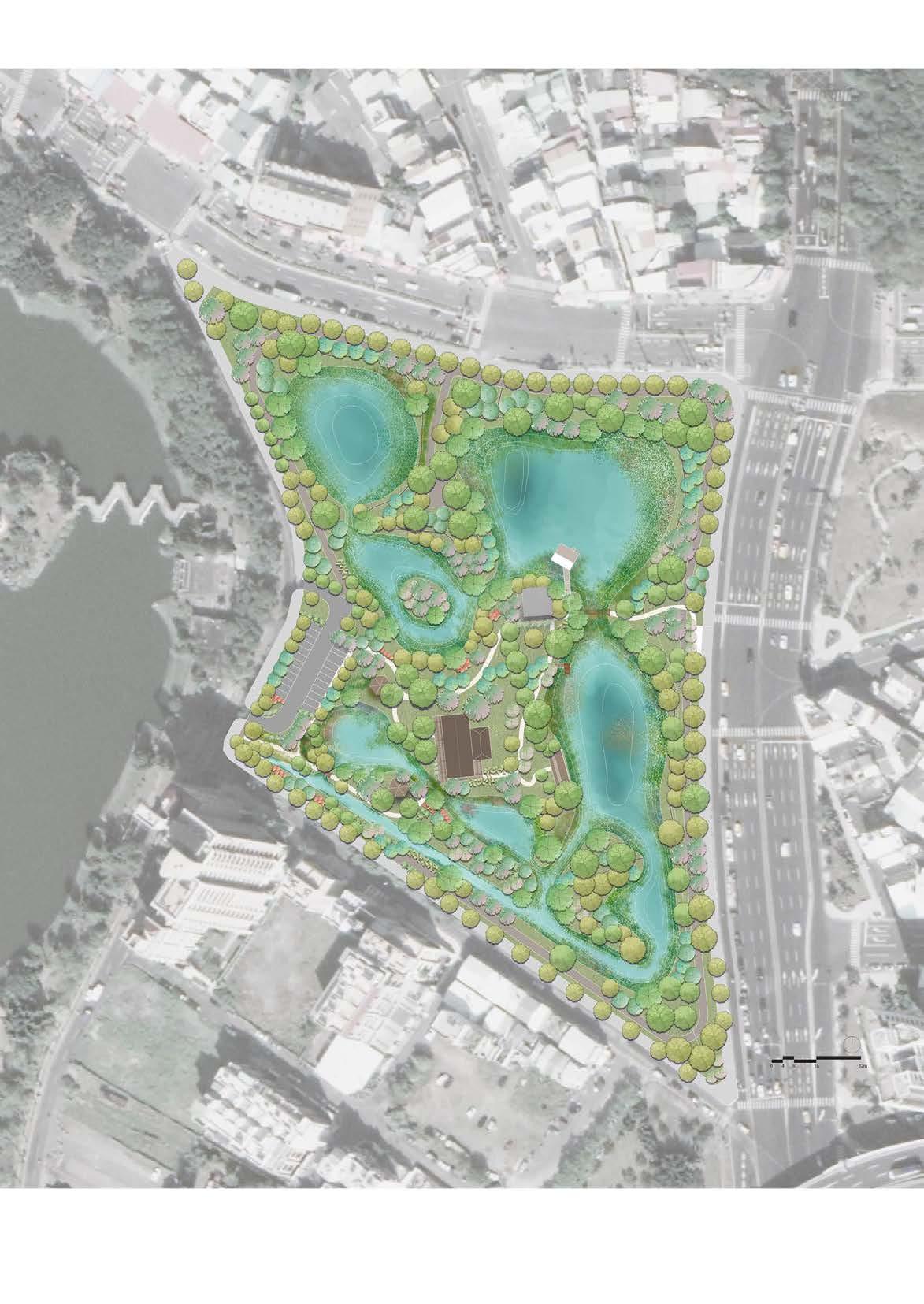
The project aims to create a wetland habitat/ park for people and local endangered water fowls ( Hydrophasianus chirurgus ) that serves as a stepping-stone system connecting near by wetlands and green spaces in the city.

Pedestrian Circulation
Service Circulation
Night-time Route
Research Route
Access Control Gate
General Water Stage (0.5-1.5m)

Highest Water Stage (1.5~2.5m)
Habitat Area
Water Purification Area
Education & Management Area
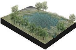
The water comes from Lianchihtan, through the filtration and purification of water from the grassy marsh and swamp in the Water Purification Area, the clean water is discharged into the shallow pool and deep pool in the Habitat Area. At last, the water is discharged into Lianchihtan from the lowest southwest corner of the site. According to the Wetland Conservation Law, the site is divided into maintenance management area, environmental education area, and conservation area. The research routes are arranged in the site to provide researchers to conduct monitoring and investigation of the wetland environment. To avoid disturbing the biologcal clock of the creature at night, people can only use the nighttime route after 18:00 to separate the human activities from the habitat.
Grassy Marsh Swamp
Shallow Pool
Deep pool
Eco Pond
Parking Lots
Lianchihtan Scenic Station
25
Water Puri cation Area Habitat Area Education & Management Area Grassy Marsh Deep Pool Shallow Pool Eco Pond Lianchihtan Scenic Station Swamp Parking Lots Maintenance Management Area Environmental Education Area Ecological Conservation Area
Deep Pool Wetland / Pool Sections
Distribution Creatures Ecology Research Creature Tracking Ecological Tourism Natural Landscape Leisure & Recreation Ecology Investigation Green Corridor NaturalExperience Neighborhood Park UrbanGreenSpace Educational Place ResidentsLeisurePlace Tourists Researcher EcoStepping StoneSystem We la d Cor id o Habitat Foraging Mating Migration
Grassy Marsh Shallow
Pool Swamp
Area
JANFEBMARAPRMAYJUNJULAUGOCTSEPNOVDEC
Tree/ Shrub Layer
Artocarpus heterophyllus Lam
Barringtonia racemosa
Bidens pilosa var. radiata
Canna indica Linn
Lagerstroemia speciosa
Macaranga tanarius (L.) Muell.-Arg.
Musa × paradisiaca
Salix warburgii
Samanea saman Merr.
Swietenia macrophylla
Ground Layer
Alisma canaliculatum
Alternanthera paronychioides St. Hil.
Ardisia crenata Sims
Bischofia javanica Bl.
Eleocharis dulcis
Euryale ferox Salisb
Echinodorus cordifolius
Hedychium coronarium
Hydrocotyle verticillata Thunb.
Hygrophila pogonocalyx Hayata
Hygrophila salicifolia (Vahl) Nees
Ipomoea aquatica Forsk.
Leersia hexandra Swartz
Ludwigia octovalvis
Ludwigia × taiwanensis Peng
Murdannia keisak
Nelumbo nucifera
Nuphar japonicum
Nymphoides indica
Paederia foetida L.
Panicum paludosum
Paspalum conjugatum Bergius
Paspalum vaginatum Sw.
Passiflora foetida L.
Phragmites australis
Polygonum glabrum
Pueraria montana (Lour.) Merr.
Thalia dealbata
Tradescantia pallida
Zantedeschia aethiopica
Remaining some of the original plants from the site including, Samanea saman, Swietenia macrophylla, Lagerstroemia speciosa, and Macaranga tanarius, to create a similar natural environment, and adding plant species mixes origin from Jhouzai wetland and Banping Lake wetland.

27
大葉桃花心木
Scenery Tower
Underwater Observation House
Ornamental ponds
Bird Watching House
AA’ Eco pond section
BB’ Bird watching house section
Undercover in Nature
Competition TerraViva Competitions, 2022


Collaborate | Charlotte Cheuk In Lau Location | Province of Brescia, Italy
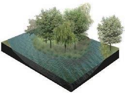
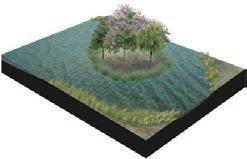
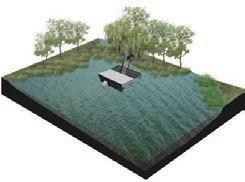
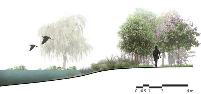
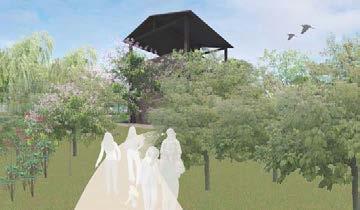
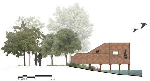
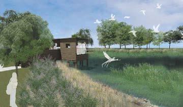
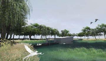
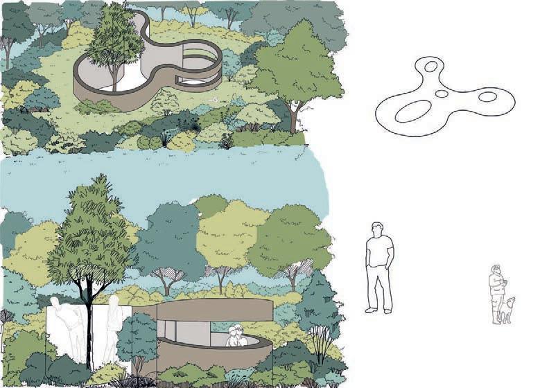
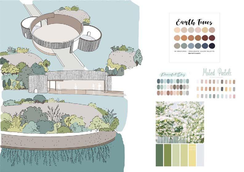
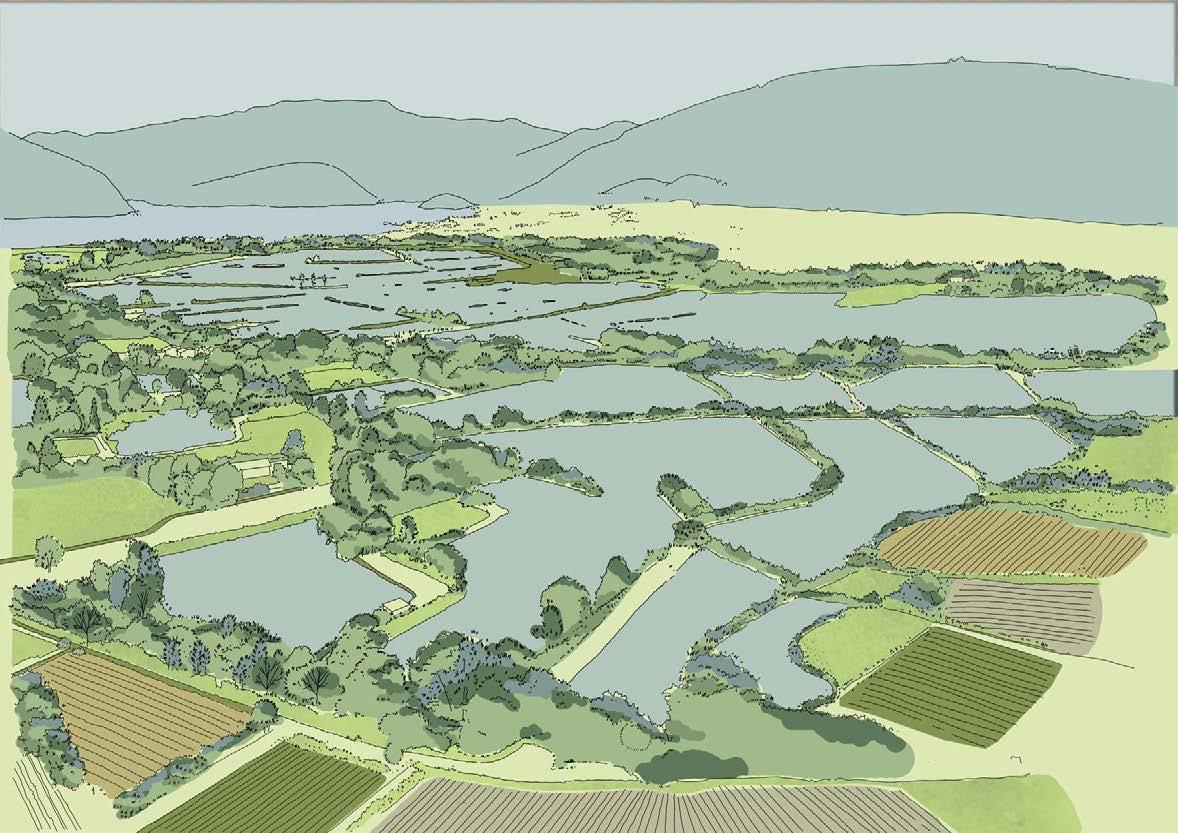
Our approach redefines the relationship among natural environment, architectural forms and human being. Linkage between wildlife animals and people is established through the micro-architecture. People act as passer-by while local habitat animals are the main target user group.


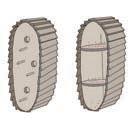
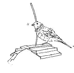
The pavilions are designed to blend into the context of the existing wetland and the woodlands, to minimise disturbance of the habitat. The pavilions provide an opportunity for people to experience and observe the fauna in a different aspect.
28
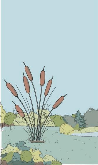
C The Spying Donut A The Reed House B The Floating Wetland 1 3 2 Poles to attract birds Rooftop for standing 3 Reed form bird shelter for nesting and feeding Multi-size of holes are suitable for various birds
2 1 1 Interaction Observation Platform 2 Hiding and foraging place of fish 3
The Reed House
Interaction Feeding 3 Roof Viewing Holes Target Animals Birds Water fowls Small mamals Nesting Environment Bird house standing pole Shrubs/ water egdes Holes/ soil Architectural Form Reed sculpture Floating island Barried form Concept
The Floating Wetland
FUTURE
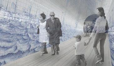
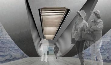
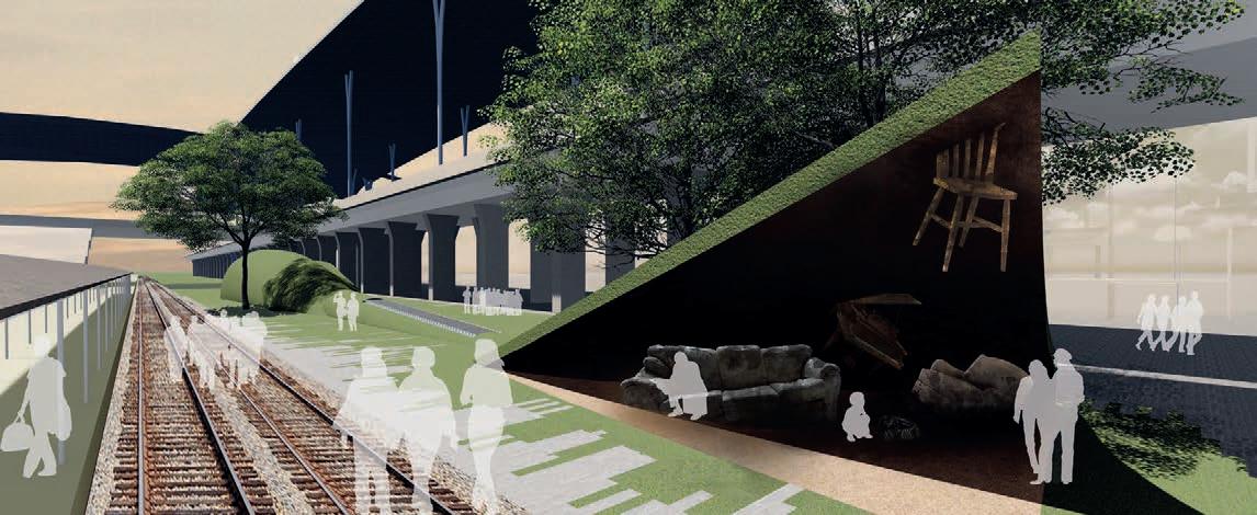
The elevated railway brings a strong impact on the Taichung main station. Due to the overheadsation, the underneath space had been given back to the people.
PRESENT
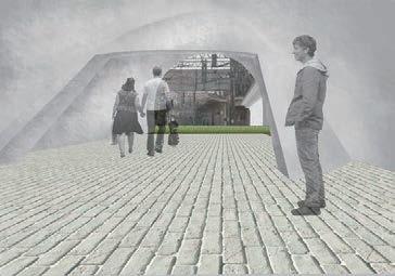
Owing to the rapid urban extension, the population of the old city decrease
New from the Past
Award | Finalist, 2016
IFLA & Taiwan Institute of Landscape Architects Student Awards

Collaborate | Yu-Ling Huang
Location | Taichung, Taiwan
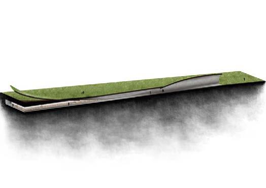
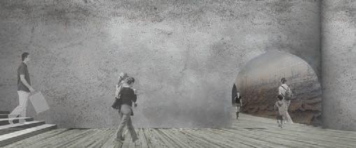
Through this station renewal design project, it will inject new energy into the old city centre of Taichung. This project aims to bridge the gap between and reconnect the old and new city centres. The level differences represent the past, present and the future of the city. The new Taichung Station not only carries the memory of the past, the connection and interaction between people in the present, but also looks forward to the future.
With the railway, Taichung city stretched out and prospered. There are many historical buildings were built during the Japanese colonial period,
Future Pass Present
舊
1 2 3 1 2 3 4 4


