9
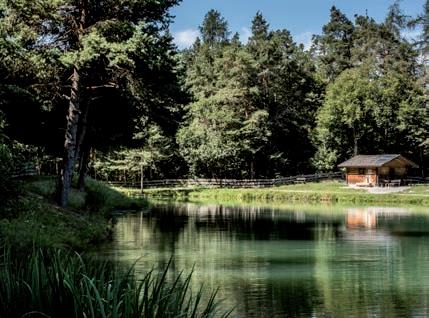
S almseiner Weiher
Seehöhe 1010 m.ü.NN.
Koordinaten Lat: 46.5282 Lon: 11.520321
Fläche 0,7 ha
Tiefe ca. 3 m
Entstehung/Jahr unbekannt
Verwendung Bewässerung, privat
St. Konstantiner Weiher - Pfarrmoos
Seehöhe 905 m.ü.NN.
Koordinaten Lat: 46.538243 Lon: 11.513608
Fläche Tiefe 1,05 ha unbekannt
Entstehung/Jahr unbekannt
Verwendung Bewässerung, privat


