
Dapcha Bazaar Location

Map of Nepal
https://commons.wikimedia.org/wiki/File:Kavrepalanch ok_District_in_Nepal_2015.svg
Chhatrebajh, ward no- 09
Map of Kavrepalanchowk district Map of Namobuddha municipality
Dapcha Bazar
● Ahistoricvillagelocatedin Chhatrebajhwardof NamobuddhamunicipalityinKavrepalanchowk
● It lies 50 km south east of Kathmandu
● Was once a business hub and a trade route to Kathmandu valley
● Economically flourishing due to its location on the trade route
● The economy then depleted later resulting in abandonmentofhomesandshops
General Division of Spaces


 Streets & Chowks
Vacant Plots Kitchen Gardens
Division of Spaces


 OpenSpaceinfrontofthe
WardOffice
ShreeKrishnaMaviSchool
Ground
Chautari
KotKalikaTemple


 OPEN SPACES IN DAPCHA
Streets and Chowks
Division of roads according to the Ministry of Urban Development, (www.moud.gov.np):
1. Arterial Roads (Path) - The primary function of an arterial road is to deliver traffic from collector roads to freeways.
2. Sub-arterials roads (Sadak) - The city roads which provided lower level of travel mobility than arterial streets.
3. Collector Roads (Marg) - Road intended for collecting and distributing the traffic to and from local roads and also for providing access to arterial / sub-arterial roads.
4. Local Roads (Upa-Marg) - Road primarily intended for access to residences, business or other abutting property. Does not carry large volume traffic.


STREET AND CHOWKS


 OPEN SPACES IN DAPCHA
How Streets and Chowks are used


As a space for the assembly of chariots (Krishnamandir
Asextensionsofshops
Asarouteforjatras Chowk)
 KRISHNA JATRA ROUTE

 GAI JATRA ROUTE
CULTURALLY IMPORTANT LANDMARKS

 OPEN SPACES IN DAPCHA

 OPEN SPACES IN DAPCHA

 OPEN SPACES IN DAPCHA

 OPEN SPACES IN DAPCHA

 LANE LEVEL OPEN SPACES IN DAPCHA`


USED AS A RESTING SPACE
OPEN SPACES IN DAPCHA PLINTHVehicular traffic through Dapcha Road
● TheroadthroughDapchaBazaarwasprimarilymeant forpedestrians.
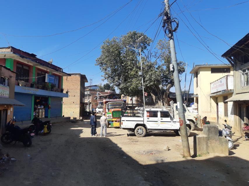
● Therecentemergenceofvehiculartrafficthroughthis roadhascreateddisturbancesinthecommunity.
● Narrowroadcausestrafficcongestion.

 NARROW ROAD VEHICULAR CONGESTION
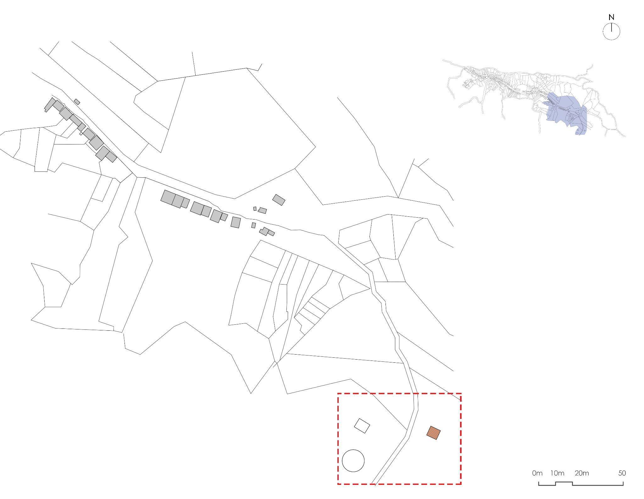
Proposed Vehicular Route
Theproposedroadshownbelowwill
● Reducetrafficcongestion
● DecreasenoiseandairpollutioninDapchaBazaar
● EnablethestreetsandchowksofDapchabazaartobeusedasinteractivespaceswithoutdisturbance

VACANT PLOTS AND KITCHEN GARDENS

 OPEN SPACES IN DAPCHA

 OPEN SPACES IN DAPCHA

 OPEN SPACES IN DAPCHA

 OPEN SPACES IN DAPCHA
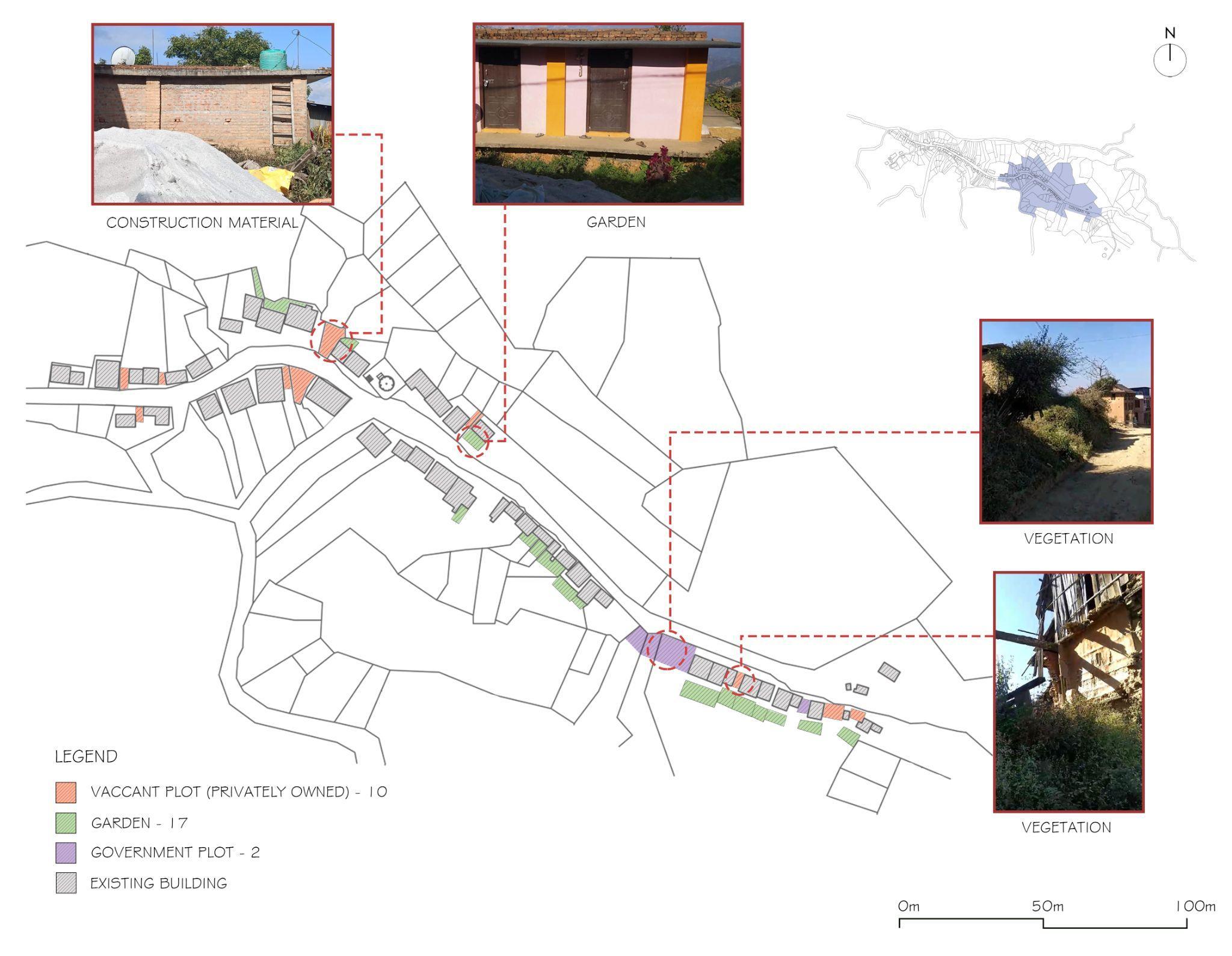
UNDER UTILIZATION OF VACANT PLOTS AND KITCHEN GARDEN


Plotsusedtostoreconstructionmaterial
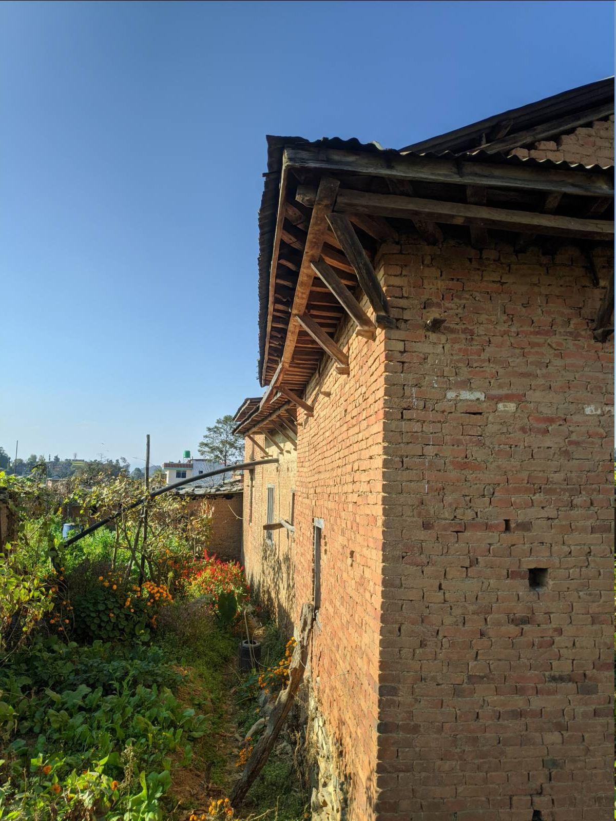
Shrubscanbeseengrowing inkitchengarden
REASON:
- Change in occupation.
- No enough time for landowner to spend in the garden.
- Pollution.
POSSIBLE SOLUTIONS :
- Developing tourism makes the community self aware on how to attract tourists.
BLOW UP DETAILS: WARD OFFICE


OpenspaceinfrontoftheWardOffice


BLOW UP DETAILS: Shree Krishna
Secondary School


ShreeKrishnaSecondarySchoolGround


BLOW UP DETAILS:


BLOW UP DETAILS:


DISASTER MANAGEMENT
(FIRE & EARTHQUAKE)


Revival of Dapcha: Tourism


Hiking routes connecting Namobuddha to Dapcha can also contribute a lot to promote tourism
Developing cycling routes along the northern stretch due to its varying and interesting landscape

The concept of homestays provides more authentic cultural experience for engagement of tourists
