The European Commission’s Joint Research
The indicator help desk team comprises staff
Centre (JRC) uses the historical Landsat archive
within UNEP’s Freshwater Unit (Ecosystems
of more than 3 million satellite images to analyse
Division), technical specialists from data-
and quantify global surface waters, which are
providing organizations (including the JRC and
disaggregated into permanent, seasonal and
its partners Plymouth Marine Laboratory and
reservoir data sets (Pekel and others, 2016). The
Brockmann Consult), the Global Mangrove Watch
JRC also provides information on the water
consortium and DHI GRAS. A no-objection
quality of the world’s largest or most
approach was adopted for the national data
strategically important inland water bodies,
validation.
including reservoirs. It assesses three recent years (2017–2019) and compares them with five
More than 60 countries raised questions on
historic years (2006–2010). The Global
specific ecosystem data, with most technical
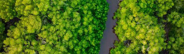
Mangrove Watch consortium provides global
clarifications resolved. However, some technical
geospatial information on the extent of
queries could not be resolved, such as the lack
mangrove changes since 1996 (Bunting and
of alignment of lake water turbidity data with
others, 2018). Recently, DHI GRAS globally
Finland’s national data (due to the shallow nature
mapped vegetated wetlands in high resolution
of the country’s numerous lakes, which
using a combination of optical, radar and thermal
influenced the accuracy of turbidity
imagery (Tottrup and others, 2020).
measurements captured by satellite imagery) and the inaccurate national data set for surface-
2.5. National approval process of indicator 6.6.1 data
water extent in the Netherlands (where saline seawater, which is used in the canal and inland waterway system, were captured as part of national freshwater surface-area data).
In March 2020, UNEP directly engaged with each
In these cases, the specific ecosystem data were
of its Member States to obtain national approval
reported with explanatory notes and were not
of indicator 6.6.1 data. National statistics per
included in the national data series.
ecosystem type were sent to confirmed focal persons for SDG 6 and indicator 6.6.1, as well
In February 2021, nationally approved data for
as national statistics offices. At present,
190 countries were submitted to the United
160 countries have confirmed national focal
Nations Statistics Division. Data were not
persons for indicators. In the 33 countries
available for three small island developing
where there were no such focal persons,
States.
communications were directed either to the national focal persons for SDG 6 or the SDG national statistics office. A UNEP help desk for indicator 6.6.1, which has a dedicated United Nations email address, was set up to manage the national data approval process and respond to technical questions and queries from countries about indicator data.
15
PROGRESS ON FRESHWATER ECOSYSTEMS - 2021