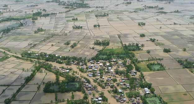
3.4 Reservoir water trends
This is based on measurements of the change in the minimum water extent, which is arguably the
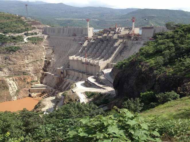
The construction of dams and the development
most critical parameter for reservoir monitoring.
of associated infrastructure, such as irrigation
As a managed ecosystem, reservoir surface-
systems, bring economic and social benefits to
water extent might be expected to have less
regions, nations and/or river basins (World
variability than natural surface waters. However,
Commission on Dams, 2000). However, dams
many countries and basins show signs of either
and reservoirs (especially large ones) have both
increases or decreases in reservoir extent – a
advantages and disadvantages, as their benefits
pattern that can be explained by two main
often come with high environmental and social
trends. First, within the past five years there have
costs. Forced population displacement to make
been many droughts in Brazil, India and South
way for dam construction is one of the most
Africa, causing many reservoirs to reach critically
serious social consequences, but other
low levels. Second, in the past decades there has
ecological and cultural impacts are also
been a global boom in new reservoirs, mainly
significant. Flooding for new reservoirs may
along some of the world’s largest river systems,
cause an irretrievable loss of arable land as well
in particular the Yangtze, Euphrates, Tigris and
as river, forest and swamp ecosystems of high
La Plata rivers (Figure 19).
environmental and landscape value. Architectural and historical assets may also disappear beneath the water, with changes in downstream flows potentially affecting livelihoods when rivers run dry. Dams also disrupt the ecological balance of rivers and
Online story maps can be accessed on the dedicated case studies website.
affect the migration and reproduction of fish and other freshwater species (Kornijów, 2009).
National data of reservoir surface-water changes per country are available for download from the
Estimates indicate that dams, diversions and
indicator 6.6.1 report website. The table provides
canals severely fragment 60 per cent of the
country information on changes in reservoir
world’s largest and most important rivers,
surface-water area observed in 2015 and 2020,
including the Yangtze River in China, Tigris River
which are compared against a 20-year reference
and Euphrates River in the Middle East and the
period. Countries can use this tabulated data to
La Plata River in South America, causing
observe the extent to which reservoir surface
significant changes to freshwater ecosystems
waters are increasing or decreasing.
(World Wide Fund for Nature [WWF], 2004). Figure 16 shows the global changes in reservoir surface-water extent.
37
PROGRESS ON FRESHWATER ECOSYSTEMS - 2021