


The Educational Company of Ireland Please contact your Local Edco Representative to book a presentation and request a sample copy, Ph: 01-4500611, Email: info@edco.ie, Website: www.edcopublications.ie FREE digitalres . EEdigita l resour
The Natural World is a comprehensive and the most up-to-date package available for Leaving Certificate Higher and Ordinary Level Geography students.

The Natural World Core Book 1 provides the toolkit to support students to develop the skills necessary to succeed at Leaving Certificate Geography.
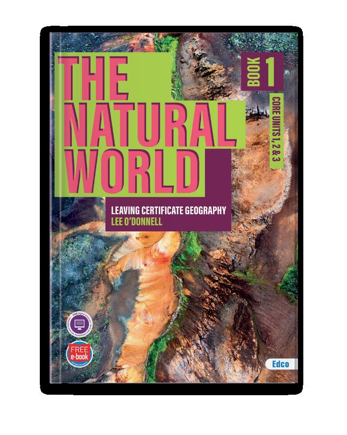
The Natural World series includes:


Student Core Book 1 Core Units 1, 2 & 3
Student Book 2 (Elective 4, Options 6 & 7)
Student Book 3 (Elective 5, Options 7, 8 & 9)
SPRING 2024 SPRING 2024
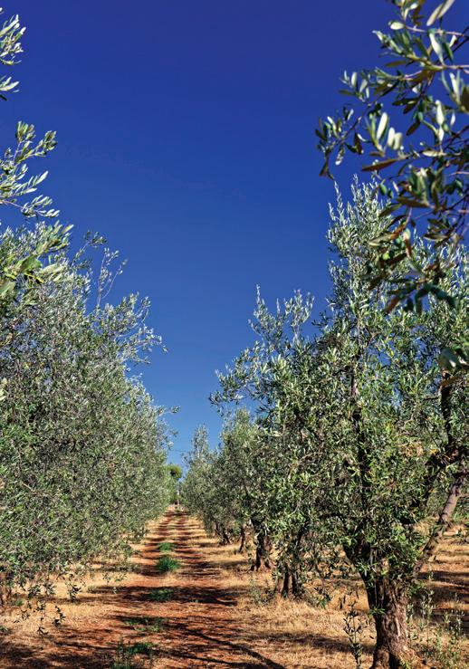
EUROPEAN PERIPHERAL REGION: THE MEZZOGIORNO
Free Digital Resources
Student Core Book 1
Delivers thorough and up-to-date coverage of the key concepts and themes for the Geography course
Organised into clear and concise chapters and subdivided into topics, making it easy for students to find and review specific topics
Each chapter develops the concepts, supports teacher planning and includes the following to deliver ‘high-quality’ lessons:
● Links to prior learning through retrieval practice
● Teacher modelled explanations
● Opportunities for students to check for understanding throughout learning
● Opportunities for guided student practice
● Opportunities for independent student practice
● Summative progress check
Each chapter begins with a list of learning intentions and key terms, helping students to focus their studies and understand the main points they will be expected to know
A wide range of questions are provided, catering clearly for both Higher and Ordinary level.
These include:
● ‘Check your Understanding’ tiered questioning for every topic, to test students’ knowledge of the key concepts at three different levels: Basic, Developed and Advanced Knowledge
● Past exam questions at the end of each chapter
CHAPTER 22
SYLLABUS LINK 2.2 The Dynamics of Regions – Contrasting European Regions 442 KEYWORDS EU Structural Funds • Mediterranean climate Sirocco wind Overgrazing Deforestation Terra rossa soil Semi-subsistent farming Autostrada del Sole Cassa Scheme ERDF funds Vanoni Plan 2030 Plan for Southern Italy Gioia Tauro Port Amalfi coast Calabria Airport Depopulation Natural decrease LEARNING INTENTIONS Construct a sketch map of the Mezzogiorno region. Outline the physical characteristics of the Mezzogiorno under the following headings: climate, geology and soils, relief and drainage. Discuss the factors that have affected the development of primary economic activities in the Mezzogiorno. Describe the physical and social factors that have affected the development of secondary economic activities in the Mezzogiorno. Outline the development of transport infrastructure and tourism in the Mezzogiorno. • Explain the population distribution and urbanisation of the Mezzogiorno. LC Geography_Ch 22.indd 442 06/01/23 PM
www.thenaturalworld.ie 328 THE NATURAL WORLD TOPIC 17.4: The South Ireland Peneplain INTRODUCTION A peneplain is a low-lying, flat area of land that formed as a result of extensive fluvial erosion processes. Peneplains are generally areas that are in the old stage of a landscape development cycle The relief of these areas is almost flat as the landscape is at its lowest elevation, which is often referred to as base level The outskirts of these areas can often contain gently sloping hills that are composed of more resistant rock types. The South Ireland Peneplain is an area of land that encompasses large parts of Waterford and Cork today. The underlying sandstone rock of the South Ireland Peneplain was formed when parts of Munster were submerged under a shallow sea over 250 million years ago. This sandstone was uplifted above sea level during the Armorican folding period and has been significantly shaped and eroded by an old river system. Additionally, isostatic movement during a period of extended glaciation resulted in the area becoming submerged under the sea once again. Chalk surface (now removed) Sandstone Consequent streams Limestone N Superimposed drainage Anticline S Limestone in synclines Headward erosion Subsequent streams N Elbow of capture Wind gaps Misfit streams S N A B C D Figure 17.8 The South Ireland Peneplain Geography_Ch 328 06/01/23 334 THE NATURAL WORLD CASE STUDY: Climatic Region – Ireland Ireland experiences a cool temperature oceanic climate as it is located in the midlatitudes between 40–60° on the western outskirts of Europe. The main influence on Ireland’s climate is the Atlantic Ocean As a result of this, the country does not experience the extremes of temperature that other countries located at these latitudes experience. The maritime influence on Ireland’s climate is felt mostly near the west coast and decreases with distance towards the midlands. Additionally, the country’s mountainous terrain provides shelter from the strong Atlantic winds. Antarctic Circle 60°s 30°s 0° 30°N 60°N 60°s 30°s 60°N 150°W 90°W 30°W 60°E 120°E 180°E 150°W 90°W 30°W 60°E 120°E 180°E SOUTHERN OCEAN IRELAND INDIAN OCEAN PACIFIC OCEAN PACIFIC OCEAN ATLANTIC OCEAN Tropic of Capricorn Equator Tropic of Cancer ARCTIC OCEAN Arctic Circle Figure 18.2 Ireland’s latitude FACTORS THAT AFFECT IRELAND’S CLIMATE First, Ireland’s proximity to the Atlantic Ocean has the biggest influence on the climate experienced on the island. The North Atlantic Drift is a warm current that flows from the equator towards Ireland. This ocean current has a regulating impact on the Irish climate, as it makes winters milder. This occurs as water is heated up at the Gulf of Mexico at the equator and transported through the North Atlantic Drift towards Ireland’s western coastline. The warm ocean current raises coastal temperatures on the west coast of the country and stops Irish ports from freezing over in the winter. For example, St John’s, Newfoundland in Canada is located at roughly the same latitude as Ireland and is also an island in the NothAl tc D f Gul Ste m Warm current Figure 18.3 North Atlantic Drift Geography_Ch 334 06/01/23 PM
Sample exam question answers serve as a reference point for students to complete their own work. These are available online. Each chapter contains a knowledge retrieval activity to help consolidate prior knowledge and provide connections to previous topics studied
The ‘Write Like a Geographer’ sections provide an exam question along with a set of explicit success criteria, breaking the question into a series of manageable steps to help students maximise the marks

A section on ‘How to improve geographic writing’ is included, as well as a suggested formula on ‘How to write SRP’s’
● Sample exam answers with common mistakes are highlighted to ensure students can identify and avoid these errors and structure a successful response
● A ‘Think Like an Examiner’ section at the end of the sample answers online helps students understand what is expected and required
Important case studies are included in each chapter to help improve the analysis synthesis of information from multiple sources, including;
● Covid-19 Pandemic, Cost-of-Living Crisis 2022, Russian Invasion of Ukraine, Housing Crisis in Ireland
● Recent geographic disaster events such as the Hunga Tonga Volcanic Eruption 2022 and
● Climate Change related geographic events such as Mudslides in Brazil 2022 and Drought in Europe 2022
A variety of different data sets and graphs are also included throughout the text, providing students with an opportunity to develop the key geographical skill of interpreting a wide variety of data from a diverse set of graphs
A wide range of full-colour and appealing maps, diagrams and photos to help illustrate complex concepts and bring the material to life
● Important diagrams in the book are drawn in a simple style that enables students to reproduce the diagram in an exam setting
The most up-to-date and age-appropriate explanations on the evolving theories of plate tectonics


507 CHAPTER | COMPLEXITIES OF REGIONS Changing Boundaries in a Language Region INTRODUCTION In Chapter 18 we saw that the boundaries of Gaeltacht regions in Ireland have been shrinking significantly over the last 100 years. This information can be used to discuss how culture can be used to define regions and how changes in boundaries can impact cultural groups. These unique areas are threatened by significant changes in boundaries over the past 100 years. Gaeltacht areas are predominantly located on the west coast of Ireland historically these areas were less exposed to the influence of English language and customs. Historically, Irish was the native language of the island of Ireland up until Britain’s policy of plantations during the sixteenth and seventeenth centuries. During this period, English and Scottish settlers were given plots of land and power in Ireland in exchange for moving to parts of Ulster and Munster This significantly affected the boundaries of Irish-speaking areas in Ireland as people began to use English as the main language in cities such as Belfast and Dublin. This policy of plantations changed the boundaries of Irish-speaking regions by creating large British and Protestant identities on the island. However, the Irish language Figure 24.1 Gaeltacht Region retreat in Ireland KNOWLEDGE RETRIEVAL Answer as many questions as you can. Try the ‘advanced’ question if you can.
267 CHAPTER 14 RIVER PROCESSES PAST EXAM PAPER QUESTIONS ORDINARY LEVEL LONG QUESTION Human Interaction with Surface Processes Explain how humans interact with one of the following surface processes: River processes Coastal processes Mass movement processes (30 marks) HIGHER LEVEL LONG QUESTIONS 1. Fluvial landforms Examine the diagram above and answer each of the following questions. (i) Name each of the fluvial landforms A B C D E and (ii) Explain briefly what is meant by the term bedrock. (iii) Explain briefly what is meant by the term alluvium (20 marks) Examine the role of the process of deposition on the formation of one fluvial landform or coastal landform one glacial landform that you have studied. (30 marks) 3. Examine the role of the processes of erosion on the formation of one fluvial landform or coastal landform or one glacial landform that you have studied. (30 marks) B Stream channel Bedrock A D SAMPLE EXAM QUESTION 2019 Human activity impacts on surface processes. Examine this statement with reference to one of the following: The impact of human activity on river processes The impact of human activity on coastal processes The impact of human activity on mass movement processes (30 marks) Geography_Ch 267 506 CHAPTER 24 COMPLEXITIES OF REGIONS SYLLABUS LINK 2.3 Complexity of Regions (i) 2.4 Complexity of Regions (ii) LEARNING INTENTIONS Discuss how the boundaries of Gaeltacht regions in Ireland have changed over time. Outline the factors that affect political, economic and cultural interactions between Northern Ireland and the Republic of Ireland. Explain the development and enlargement of the EU. Describe the social and economic impacts of EU enlargement on Ireland. Identify and explain the political, economic and environmental challenges facing the EU in the future. KEYWORDS Fior Ghaeltacht Breac Ghaeltacht Údarás na Gaeltachta Good Friday Agreement North-South Ministerial Council Shared Island Initiative Brexit European Coal and Steel Community European Economic Community Maastricht Treaty EU Accession European Green Deal Schengen Agreement Next Generation EU programme Geography_Ch 429 CHAPTER 21 | EUROPEAN CORE REGION: THE PARIS BASIN CHECK YOUR UNDERSTANDING Basic Knowledge 1. Name two manufacturing companies located in the Paris Basin. 2. How many students are located in the region? 3. What percentage of the population holds a bachelor’s degree or higher in the region? Developed Knowledge Explain how ease of access to raw materials has allowed the development of food processing companies in the Paris Basin. Reference at least two food-processing companies you have studied. 2. Describe why high-tech modern industries are attracted to the Paris Basin. 3. Outline how one company has benefited from the large labour force available the Paris Basin. Advanced Knowledge 1. Discuss how government initiatives have supported the development of secondary economic activities the Paris Basin. 2. Explain how a well-developed road system in the Paris Basin has improved the region’s ability to transport goods. 3. Assess the Paris Basin’s fibre-connectivity infrastructure and explain the importance of this in attracting industry to the region. 3 WRITE LIKE A GEOGRAPHER 1. Examine the factors that influence the development of secondary economic activities in the Paris Basin. Success criteria: Your answer must: • Name two socio-economic factors that influenced the development of secondary economic activities in the Paris Basin – transport infrastructure and labour force Describe how access to raw materials has affected the development of secondary economic activities in the region List three examples of manufacturing companies located in the region Your answer should: Describe how a well-developed transport infrastructure has supported the development of secondary economic activities • Outline how the educated/young workforce attracts modern industries to the region with reference to data to support your writing Explain how one named food-processing company has developed in the Paris Basin Your answer could: • Assess how high tax rates in the region affect the development of secondary economic activities Explain how a luxury goods market developed in the Paris Basin Examine how the policy of decentralisation led to the development of Cosmetic Valley y_Ch 21.i
The Educational Company of Ireland
Digital Resources
Teachers and students can access The Natural World interactive e-book at www.edcolearning.ie, plus a bank of free digital resources, including:


› Solutions, editable planning documents and graphic organisers
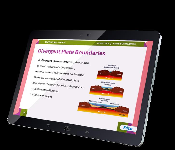


› Chapter summary PowerPoints with key points and images for each chapter
› Engaging Podcasts at the end of every chapter review key aspects of all topics and provide links to possible exam questions
› A wide range of videos, including interesting and informative topic-based news features and documentaries, plus demonstrations of the key skills students need to master as part of the Leaving Certificate Geography course
› Unique and innovative chapter lesson plans are provided as editable PowerPoint presentations for convenient and time-saving teacher planning. Each lesson plan includes concept explanations and modelling, and progress checks
› Supplementary material including key definitions, additional ‘Write Like a Geographer’ activities, sample answers to exam questions, useful websites and much more
The Author
Lee O’Donnell is a dedicated educator and specialises in the field of geography education. Lee has extensive experience teaching both Geography and History at Woodbrook College, Co. Wicklow. In addition, Lee also serves as a Geography Methodology Lecturer at UCD, where his work focuses on innovative approaches to student learning, including the use of technology and retrieval practice. Lee also hosts the popular Leaving Certificate revision podcast ‘Skin in the Game’, where he shares his extensive knowledge and experience with students preparing for their exams.
Available Spring 2024


