FOURTH STREET ZONING STUDY


Dr. Derek J. Paulsen LFUCG
Shevawn Akers LFUCG Council District 2
Chris Ford LFUCG Council District 1
Jim Duncan LFUCG Division of Planning
Chris King LFUCG Division of Planning
Chris Taylor LFUCG Division of Planning
Stan Harvey Lord Aeck Sargent
Louis R. Johnson Lord Aeck Sargent
Rachel Cunningham Lord Aeck Sargent
Randy Brookshire Ross Tarrant Architects
Michael Haskins Arbors -HOA
Lisa Bell BCTC
Dr. Augusta Julian BCTC
Rob Knight BCTC
Danny Mayer BCTC
Ralph Coldiron Big Brothers Big Sisters
Kore Donnelly Blue Stallion Brewing
Xavier Donnelly Blue Stallion Brewing
Todd Ball Bristol Group, Inc.
Bryan Ledford Bristol Group, Inc.
Doug Dixon Dixon Enterprise
Lee Hall Farmers Feed (Hallway Feeds)
Diane Marshall Georgetown Street
Neighborhood Association
Bill Johnston Historic Western Suburb
Neighborhood Association
Walter May Hope Center
Stephen Howard Jefferson Fitness
Ron Harris Ky. Executive Branch-Finance & Administration
James Clark LexArts
Brandi Berryman Lexington Downtown Development Authority
Jeff Fugate Lexington Downtown Development Authority
Gary Means Lexington Parking Authority
Ed Trammell Lexington Parking Authority
Dr. Rice Leach Lexington-Fayette County Health Department
Rocky Burke Lextran
Jared Forte Lextran
Tom Blues Meadowthorpe Neighborhood
Phil Points Northside Neighborhood Association
Pohl Graham Pohl Rosa Pohl
Bruce Simpson Stoll Keenon Ogden
Tim Terry Thistle Holdings
Darrell Banks Transylvania University
Marc Matthews Transylvania University
Jihad Hallany Vision Engineering
Ben Self West Sixth Brewing Company
Steve Bale Northside Neighborhood Association
Wanda Bertram Neighborhood Resident
John Cirigliano Property Owner
Faith Harders Neighborhood Resident

In 2009, the Bluegrass Community and Technical College put the finishing touches on their Newtown Pike Campus Master Plan. A site that was recently the historic Eastern State Hospital is in the early stages of transforming into a vibrant urban community college. Not far in either direction are a number of emerging mixed-use districts including the Jefferson Street, Newtown Pike and Georgetown Corridors.
These districts are in the midst of a shift as redevelopment of vacant and under-utilized industrial and commercial buildings begins to take form.
In response to the increasing development pressures and interest from local institutional organizations and neighborhood advocates, a partnership was created to analyze current zoning codes within the West Fourth Street Corridor.

The partnership is between two educational anchors, Bluegrass Community & Technical College and Transylvania University, and the Lexington-Fayette Urban County Government. A Community Advisory Group made up of local stakeholders including City officials, neighborhood representatives, business owners and other interested citizens was formed to represent the diversity of interests in the area.
This analysis is intended to better understand the implications of current zoning patterns and provide recommendations for potential changes or updates going forward that reflect community goals and visions. In future phases, recommendations could be considered for implementation by the Lexington-Fayette County Planning Commission.
LEXINGTON-FAYETTE
URBAN COUNTY GOVERNMENT
BLUEGRASS
COMMUNITY & TECHNICAL COLLEGE
TRANSYLVANIA UNIVERSITY
COMMUNITY ADVISORY GROUP
Organize a “Working Group”
Kick-off Meeting
Identify Goals and Objectives
Issues and Opportunities
Existing Condition Assessment
Major Stakeholder Interviews
Identify Issues and Opportunities
Identify Potential Partnerships
Development Planning
Create Conceptual Development Vision
Develop Draft Development Vision
Final Plan and Implementation Strategy
Finalize Development Vision
Develop the Implementation and Zoning Strategy
Identify Short- and Long-term Projects
Community Input through Public Workshop
Create a Final Report
Final Recommendations Submission for Planning
Commission Adoption
Working Group Meeting
Public Meetings/Briefings

The existing zoning on and around the West Fourth Street Corridor is illustrated to the left. The zoning is comprised of a series of zones typically found in historic Downtown neighborhoods, a mixture of Mid-High Density Residential (R-2, R-3 & R-4), Light Industrial (I-1), Commercial (B-1), and Professional Office Uses.
The study analyzed these existing zones and their appropriateness in this community as catalytic developments continue along the main corridors including Jefferson Street, Fourth Street, Newtown Pike and Georgetown Street.
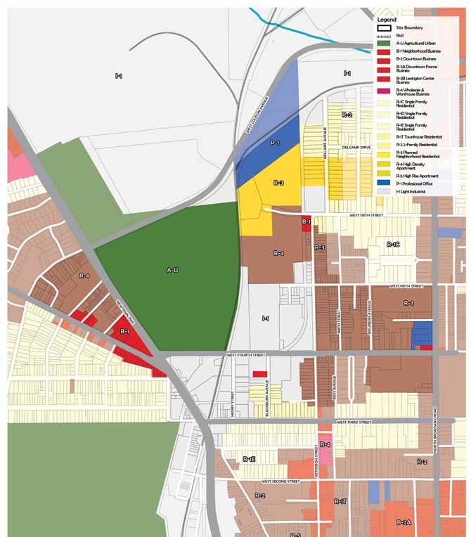
The specific zones are discussed in more detail on the following pages.
AGRICULTURAL URBAN - (A-U)
NEIGHBORHOOD BUSINESS - (B-1)
LIGHT INDUSTRIAL- (I-1)
PROFESSIONAL OFFICE - (P-1)
TWO-FAMILY RESIDENTIAL- (R-2)
PLANNED NEIGHBORHOOD RESIDENTIAL- (R-3)
HIGH DENSITY APARTMENT- (R-4) 6
Intent
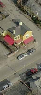
To accommodate neighborhood shopping facilities to serve needs of the surrounding residential area. This zone should be oriented to the residential neighborhood, and should have a roadway system which is adequate to accommodate anticipated vehicular traffic.
Principal Uses
• Retail sale of food products
• Retail sale of merchandise
• Beauty/Barbershops
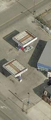
• Auto service stations
• Plant nursery
• Indoor theater
• Second floor dwelling units
• Arcades
• Athletic Clubs
Minimum Lot Size - No limitation.
Minimum Lot Frontage - No limitation.
Minimum Front Yard - 20 feet.
Minimum Each Side Yard - No limitation.
Minimum Rear Yard - No limitation.
Minimum Usable Open Space - No limitation, except where dwelling units are provided as principal uses; then 20%.
Maximum Lot Coverage - No limitation.
Maximum Height of Building - 25 feet; except 65 feet as a conditional use, as established in Section 8-16(d)(6).
Parking
Retail Uses - For the first 10,000 square feet, one (1) parking space for every four hundred (400) square feet of floor area, with a minimum of three spaces
Intent
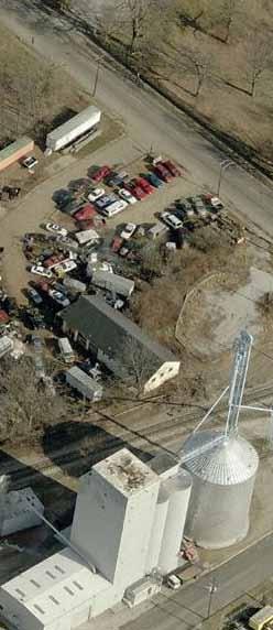
This zone is intended for manufacturing, industrial and related uses not involving a potential nuisance in terms of smoke, noise, odor, vibration, heat, light or industrial waste. Consideration should be given to this zone and its relationship to the surrounding land uses.
Principal Uses
• Manufacturing, compounding, assembling, processing and packaging of articles of merchandise - (asbestos, bone, canvas....)
• Auto parts rebuilding, building materials sales etc.
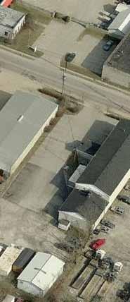
• Recycling sorting, baling
Requirements
Minimum Lot Size - No limitation.
Minimum Lot Frontage - No limitation.
Minimum Front Yard - 20’.
Minimum Each Side Yard - No limitation, except as provided in Section 8-22(o).
Minimum Rear Yard - No limitation, except as provided in Section 8-22(o).
Minimum Usable Open Space - No limitation.
Maximum Lot Coverage - No limitation.
Maximum Height of Building - 75’, except when a side or rear yard abuts a Professional Office or Residential zone, then a 3:1 height to yard ratio.
Parking
Manufacturing or Industrial Uses - One (1) space for every two (2) employees on a maximum working shift, with a minimum of five (5) spaces.
Intent
This zone is primarily for offices and related uses, retail sales are prohibited, except where directly related to office functions.
Principal Uses
• Banks, credit agencies
• Offices for business, professional, governmental, social organizations
• Research labs
• Libraries, Art galleries
• Funeral parlors
• Second floor dwelling units
• Arcades
• Athletic Clubs
• Schools
Minimum Lot Size - 7,500 square feet.
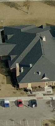
Minimum Lot Frontage - 60 feet.
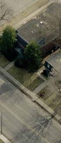
Minimum Front Yard - 20 feet.
Minimum Each Side Yard - 12 feet.
Minimum Rear Yard - 12 feet.
Minimum Usable Open Space - No limitation, except where residences are provided, then 20%.
Max. Lot Coverage - 35% and a floor area ratio of 1.3.
Maximum Height of Building - 3:1 height-to-yard ratio.
Parking
Professional Office Projects - One (1) space for every four hundred (400) square feet of floor area.
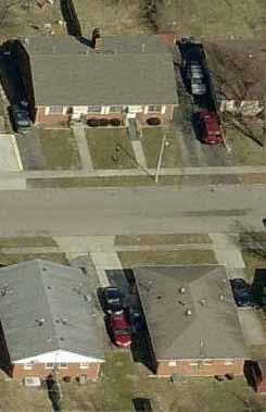
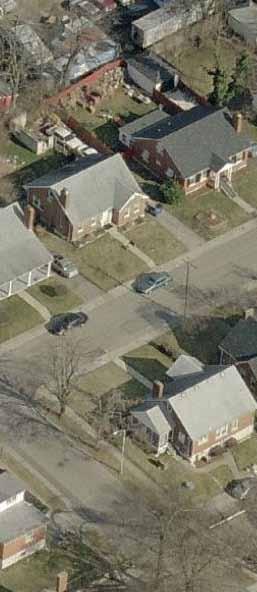
This zone is primarily for two-family dwellings (duplexes). This zone should be at locations and at the density (units/acre) recommended by the Comprehensive Plan and in areas of the community where necessary services and facilities will be adequate to serve the anticipated population.
• Two-family dwellings, two-family dwellings sharing a common vertical wall.
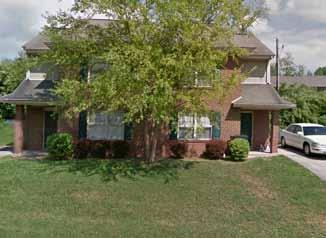
Minimum Lot Size - 7,500 square feet.
Minimum Lot Frontage - 60’. (See 8-11(o) below.)
Minimum Front Yard - 30’.
Minimum Each Side Yard - 6’. (See 8-11(o) below.)
Minimum Rear Yard - 10’ or 25% of the lot depth, whichever is greater.
Minimum Usable Open Space - No limitation.
Maximum Lot Coverage - No limitation.
Maximum Height of Building - 35’.
Parking
Duplexes - Two (2) spaces per dwelling unit.
Intent
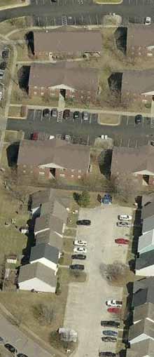
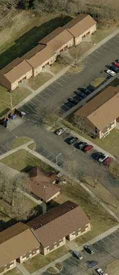
This zone is primarily for multi-family dwellings and other residential uses. This zone should be at locations and at the density (units/acre) recommended by the Comprehensive Plan, and in areas of the community where necessary services and facilities will be adequate to serve the anticipated population.
• Multi-family dwellings.
• Dormitories.
• Boarding or lodging houses, assisted living facilities, and hospitality houses for up to eight (8) persons.
• Community residences.
• Group Residential Projects, as provided by Article 9.
• Townhouses, except that not more than twelve (12) units shall be attached.
Minimum Lot Size - 6,000 square feet.
Minimum Lot Frontage - 50’.
Minimum Front Yard - 20’.
Minimum Each Side Yard - 5’, unless required to be a minimum of 30 feet by Article 15-2(b)(3).
Minimum Rear Yard - 10’.
Minimum Usable Open Space - 20%.
Max Lot Coverage - 25% and a floor area ratio of 0.5.
Maximum Height of Building - 35’.
Parking
Multiple Family Dwellings (other than Elderly Housing)
- Three (3) spaces for every two (2) dwelling units, or 0.9 spaces per bedroom in a multi-family dwelling, whichever is greater.
This zone is primarily for multi-family dwellings, but at a higher density than the R-3 zone. The R-4 zone should be at locations and at the density (units/acre) recommended by the Comprehensive Plan, and in areas of the community where necessary services and facilities will be adequate to serve the anticipated population.
• Multi-family dwellings.
• Dormitories.
• Boarding or lodging houses, assisted living facilities, and hospitality houses for up to eight (8) persons.
• Community residences.
• Group Residential Projects, as provided by Article 9.
• Townhouses, except that not more than twelve (12) units shall be attached.
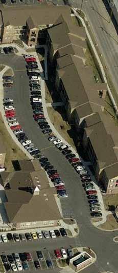
Minimum Lot Size - 6,000 square feet.
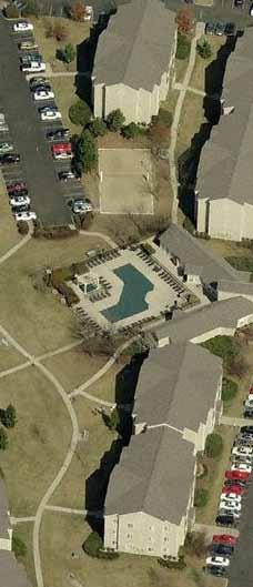
Minimum Lot Frontage - 50 feet.
Minimum Front Yard - 20 feet.
Minimum Each Side Yard - 5 feet.
Minimum Rear Yard - 10 feet.
Minimum Usable Open Space - 20%.
Max.Lot Coverage - 30% and a floor area ratio of 0.7.
Maximum Height of Building - 2:1 height-to-yard ratio, except that buildings under 35’ may have side and rear yards as required in the R-3 zone.
Parking
Multiple Family Dwellings (other than Elderly Housing)
- Three (3) spaces for every two (2) dwelling units, or 0.9 spaces per bedroom in a multi-family dwelling, whichever is greater.
• Zone change involving Planning Commission and Urban County Council
• Final Development Plan approval by Planning Commission
• Possible text amendment needed to address location criteria
• Requires residential and commercial uses
• Reduced/shared parking requirements.
Adaptive Reuse Projects
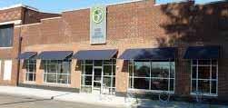
• Final Development Plan approval by Planning Commission
• Must include an existing building that will be reused as a principal structure
• Must meet a minimum of 3 out of 9 criteria, such as:
- Provide a minimum of 10% affordable housing
- Provide public art
- Have existing structures on the National Register of Historic Places

• Allows residential and commercial uses
• Reduced parking requirements
• Final Development Plan approval by Planning Commission
• Allows for an increase in the amount of office space in Warehouse and Industrial Zones
• No dwelling units permitted
Industrial Mixed Use Project
• Final Development Plan approval by Planning Commission
• May require a text amendment to adjust location criteria
• Allows for dwelling units and some limited commercial uses
• Parking requirements of MU-3
• Zoning Ordinance Text Amendment involving Planning Commission and Urban County Council
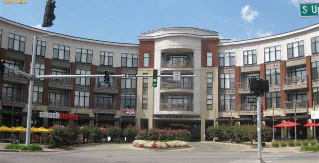
• Final Development Plan approval by Planning Commission
• Create a custom list of uses and site requirements
• Site specific design criteria

2
As the Community Advisory Group and consultant team reviewed the existing zoning, Opportunity Districts began to rise to the surface. These districts include areas with rising development pressures and illustrate spaces where there may be emerging notions of vibrant urban mixed use. These districts focus on the Industrial zones, two main neighborhood corridors, Jefferson Street and Georgetown Street and remnant zones including 4b (P-1) on West Sixth Street and 3b, (I-1) on Bellaire Avenue.
These districts are explored in more detail on the following pages.
Georgetown Street Corridor
Jefferson Street Corridor Fourth Street Mixed-Use Opportunity

Newtown Pike Adaptive Re-use
Bellaire Street Adaptive Re-use
Mid- Density Residential
Mid- Density Residential
B-1 NEIGHBORHOOD BUSINESS
R-2 TWO-FAMILY RESIDENTIAL
R-3 PLANNED NBHD RESIDENTIAL
R-4 HIGH DENSITY APARTMENT
A-U AGRICULTURE
I-1 LIGHT INDUSTRIAL
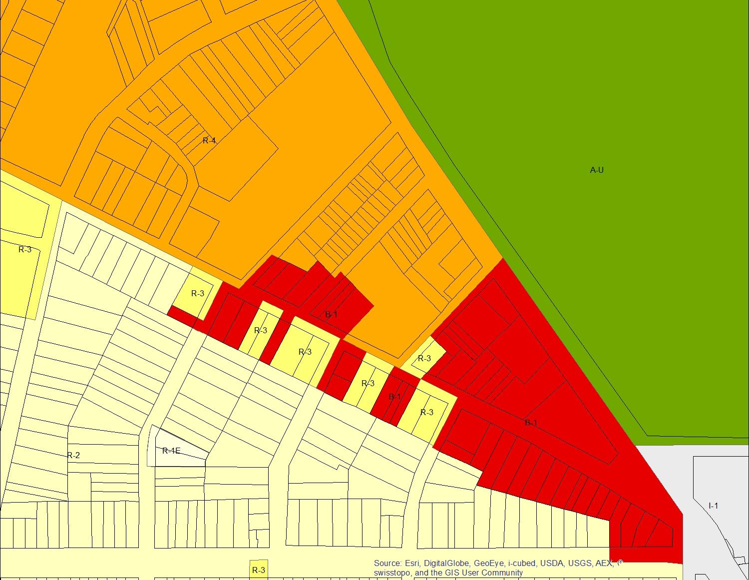
GEORGETOWN STREET CORRIDOR
• B-1 may allow undesirable uses & suburban style development
• Residential zoning is appropriate, though, design guidelines may be desired
• Concern over gentrification & displacing existing residents & businesses
• Mixed-Use Zoning, applied along the Georgetown and Newtown corridors.
• Mid-Density Residential, may involve Infill & Redevelopment Guidelines

B-1 NEIGHBORHOOD BUSINESS
R-2 TWO-FAMILY RESIDENTIAL
R-3 PLANNED NBHD RESIDENTIAL
R-4 HIGH DENSITY APARTMENT
A-U AGRICULTURE
I-1 LIGHT INDUSTRIAL
• Adaptive re-use of industrial properties where relevant
• Mid - High Density Mixed-Use Zoning
• Design guidelines/overlay to ease visual conflicts with industrial properties
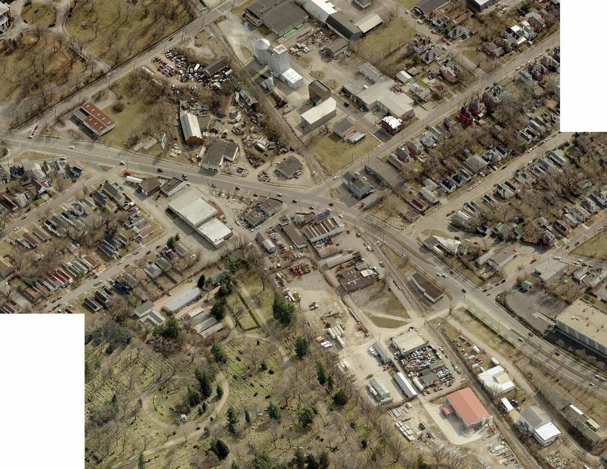
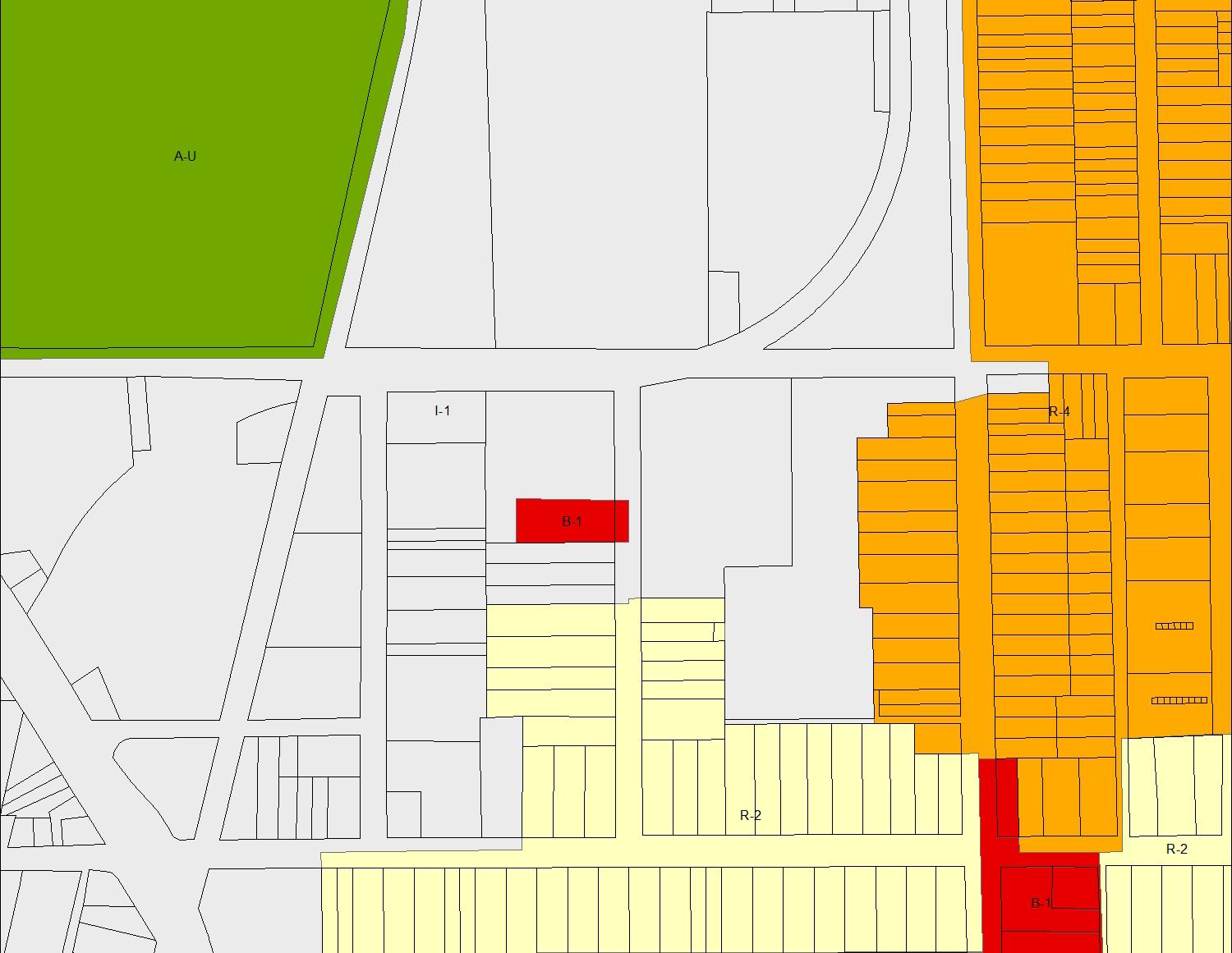
FOURTH ST & NEWTOWN PIKE RE-USE
• Industrial properties can create a negative visual aesthetic
• Industrial uses provide important economic benefits to communities in the form of jobs
• Identification of re-use opportunities
• Industrial zoning does not allow a mix of urban uses
B-1 NEIGHBORHOOD BUSINESS
R-2 TWO-FAMILY RESIDENTIAL
R-3 PLANNED NBHD RESIDENTIAL
R-4 HIGH DENSITY APARTMENT
A-U AGRICULTURE
I-1 LIGHT INDUSTRIAL
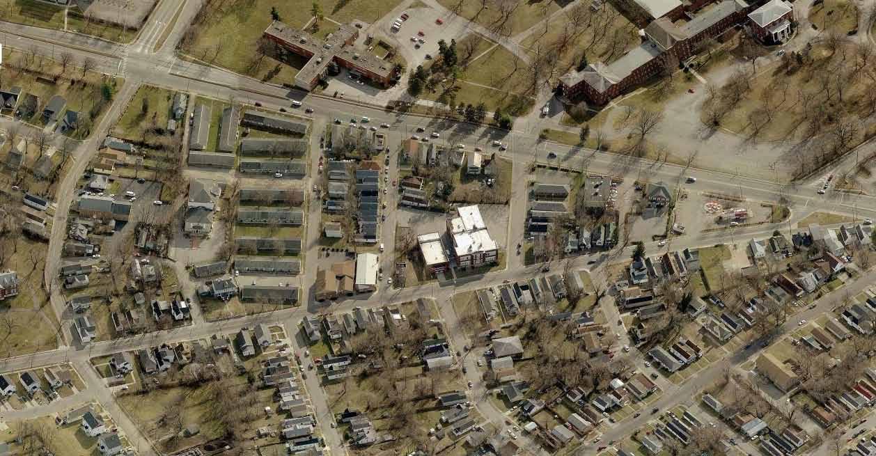
FOURTH STREET CORRIDOR
• Difficult situation with abutment of industrial and residential uses
• Need uses that will aid in transition from more intense uses to single-family neighborhood
• Zoning density should reflect these transitions
POTENTIAL ZONING
• Adaptive re-use of industrial properties where relevant
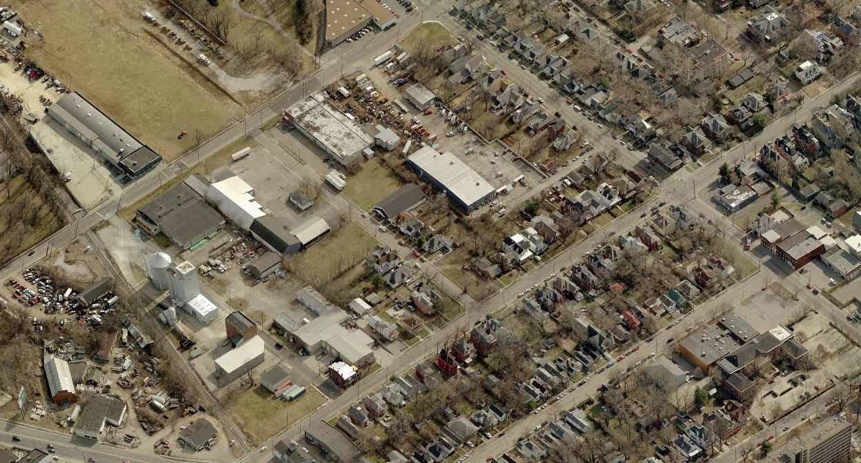
• Mid-Low density Mixed-Use
• Mid-Density residential, may involve Infill & Redevelopment Guidelines

B-1 NEIGHBORHOOD BUSINESS
R-2 TWO-FAMILY RESIDENTIAL
R-3 PLANNED NBHD RESIDENTIAL
R-4 HIGH DENSITY APARTMENT
A-U AGRICULTURE
I-1 LIGHT INDUSTRIAL
JEFFERSON STREET SMITH STREET BOURBON AVENUECOOLAVIN PARK
JEFFERSON STREET CORRIDOR
ISSUES
• Jefferson street is an emerging commercial corridor

• B-1 zoning requires off-street parking that will be difficult to obtain
• Shared parking strategies may be necessary to help
• Existing zoning may allow un-desirable neighborhood businesses.
• Adaptive re-use of industrial properties where relevant
• Low-Density Mixed-use
• Mid-Density residential, may involve Infill & Redevelopment Guidelines
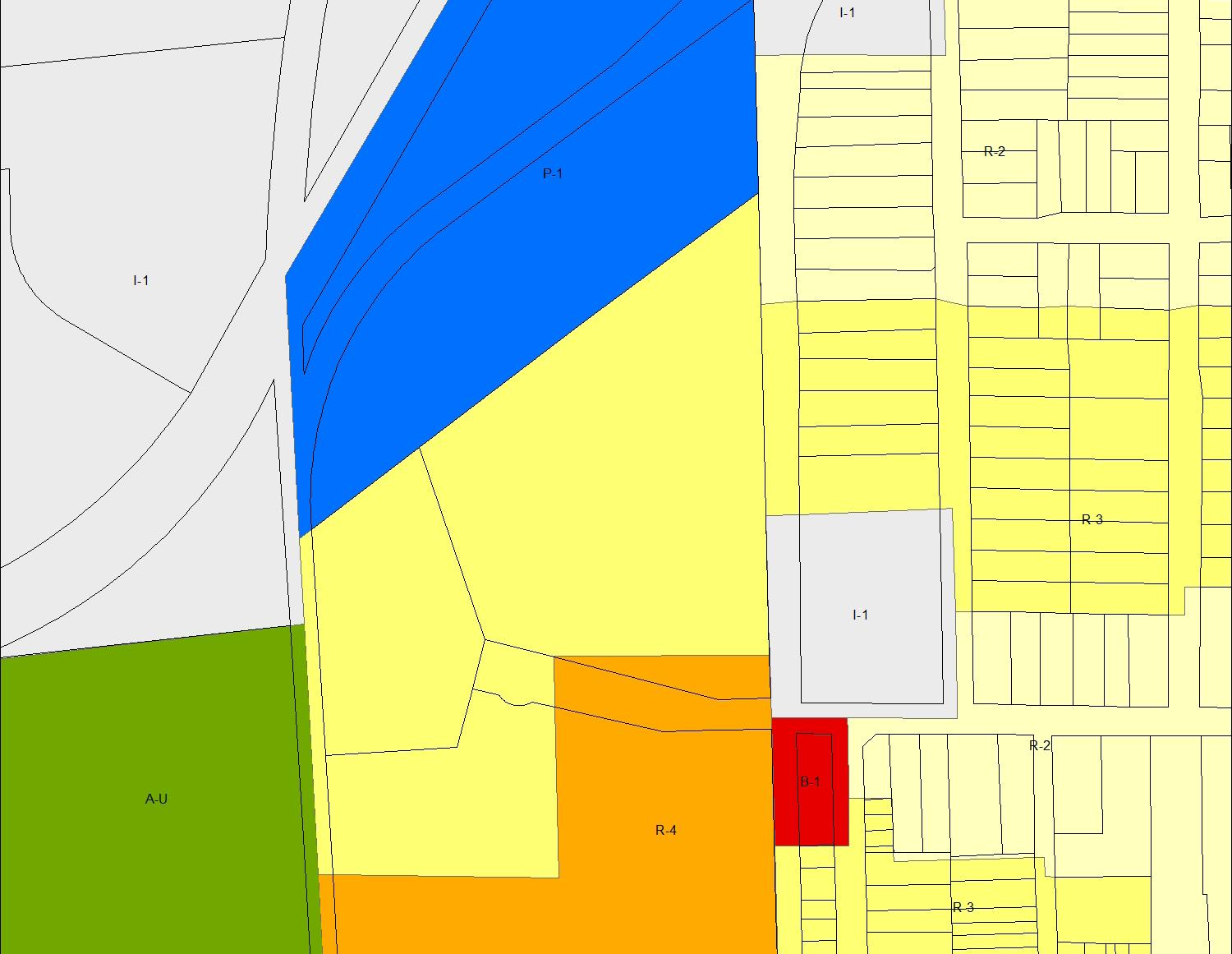
B-1 NEIGHBORHOOD BUSINESS
R-2 TWO-FAMILY RESIDENTIAL
R-3 PLANNED NBHD RESIDENTIAL
R-4 HIGH DENSITY APARTMENT
A-U AGRICULTURE
I-1 LIGHT INDUSTRIAL
MID-DENSITY RESIDENTIAL
ISSUES
• Major connectivity Issues due to the rail lines
• Residential zoning could increase, but suburban style development creates strong interior focus, (less eyes on street, less access.)
POTENTIAL ZONING
• Mid-Density residential, may involve Infill & Redevelopment Guidelines
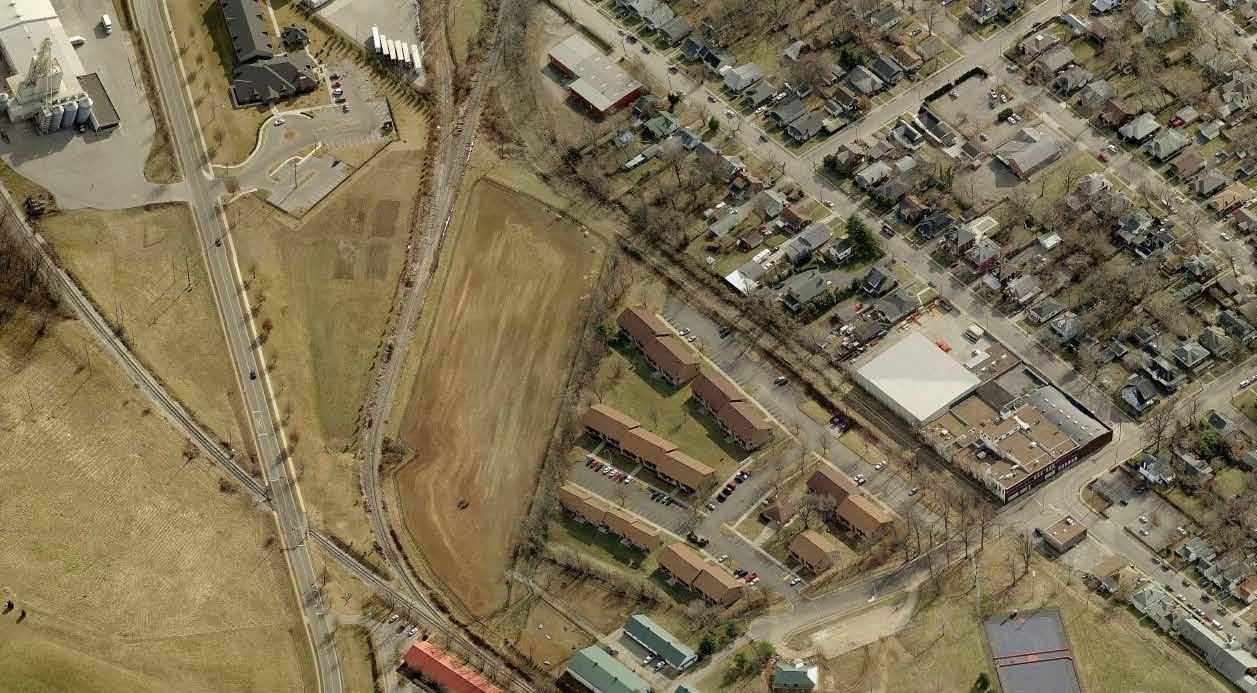 COOLAVIN PARK

After reviewing the Existing Conditions and the Opportunity Districts with the Community Advisory Group a number of themes began to surface in regard to issues, opportunities and goals. The following are a selection of comments from the three Community Advisory Meetings that seemed to represent the overall themes:
Where industrial zoning exists is the potential for something undesirable
Affordable housing is a community need
The future of these neighborhoods should be one of a healthy and safe neighborhood
Need to protect some Industrial uses, and balance new uses
Parking is limited, need a balanced & comprehensive parking strategy
Focus first on the industrial properties
Encourage local business throughout the area
Jefferson and Georgetown Street Corridors make sense for small scale commercial corridors.
Preserve existing scale and character - single-family historic neighborhoods
Study Recommendation #1:
Conduct further study of R-3 & R-4 zones covering existing Single Family neighborhoods.
• Portions of the study area are zoned for higher-density residential that could over time encourage redevelopment at higher densities.
• Promoting more residential uses in the Industrial and Business Zones could help ease any potential development pressure of the areas indicated for preserving singlefamily scale and use.
• Neighborhoods may consider initiating an ND-1 or other neighborhood driven overlay to preserve neighborhood characteristics.
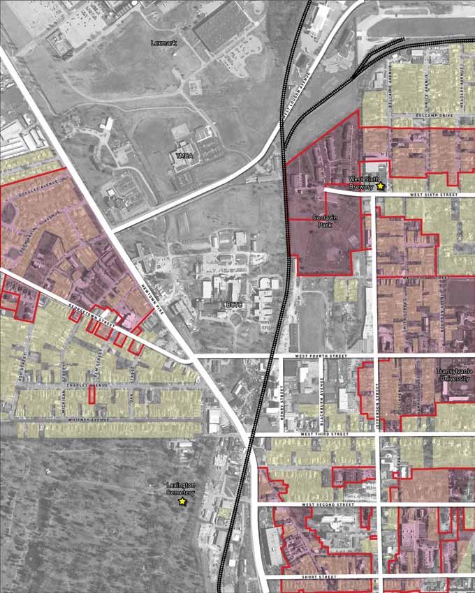
Single-Family Homes
R-3 & R-4 Zones
Study Recommendation #2:
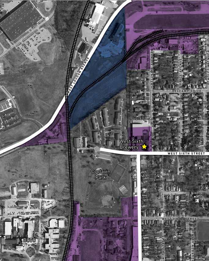
Consider Conversion of Professional Office & Light Industrial zoning near Loudon Avenue on a case-by-case basis.
Professional Office
Light Industrial
Focus Areas
Zoning remnants like the industrial and office zones just south of the Rail corridor may make sense to reevaluate in order to better protect the desired neighborhood character, but allow reuse and redevelopment of underutilized property.
Study Recommendation #3:
Create an urban mixed-use zone for existing Industrial districts along and near Newtown Pike.
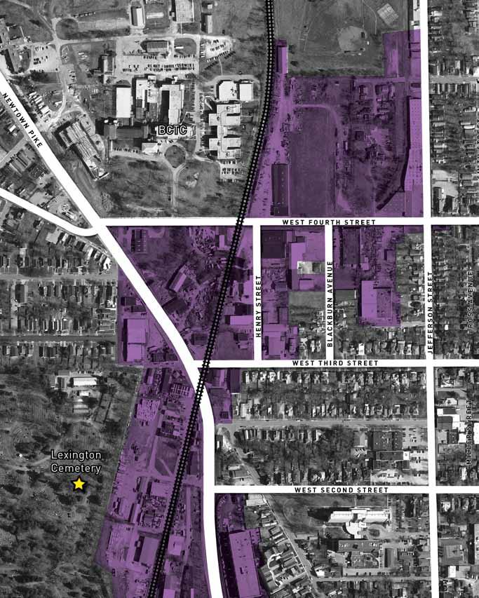
Light Industrial
Focus Area
This Mixed-Use category should include urban design guidelines such as:
• Building Height Transitions
• Setback Distances
• Building Frontage Standards
• Pedestrian Infrastructure
• Parking Location & Standards
• Community Focused Uses
• More Intense Development along Major Arterials
• Alternative Transportation
• Safety by Design Standards
Study Recommendation #4:
Continue to evaluate & study neighborhood commercial districts along Georgetown Street & Jefferson Street.
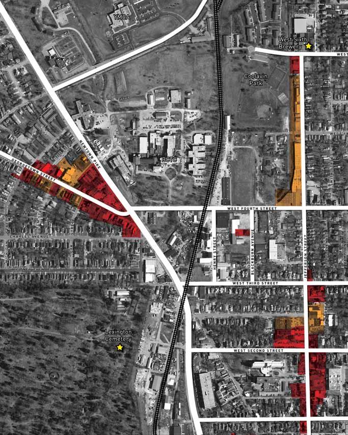
Existing Neighborhood Commercial
Potential Extension of Neighborhood Commercial Corridors
Properties along both corridors could be considered for expansion of commercial zoning & for possible consideration of amendments to B-1 for urban context.
Another option is to use the new mixed-use zone if applicable.
Under current zoning Neighborhood Business zones allow the following potentially non-compatible considerations:
Permitted Uses: Auto repair/service stations
Conditional Uses:
Self-service car wash, animal hospital, truck rental
Physical Attributes:
- Minimum front yard of 20’
- Minimum 3 parking spaces, requires 2.5 spaces per 1,000 SF
- Drive throughs
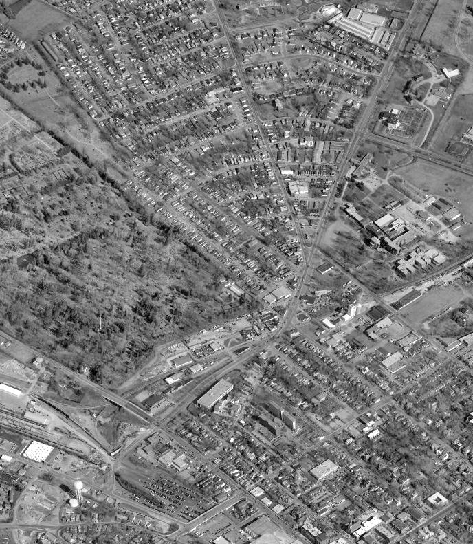
This study is intended to convey planning analysis and community discussion on possible zoning changes/ modifications in the Fourth Street area to support emerging investment. Any such zoning changes or amendments would have to be instigated by the Lexington-Fayette Urban County Planning Commission under applicable policies and procedures, including the following steps:
• Hold a public input meeting to review BCTC/4th Street Study recommendations by the end of May 2014
*(Completed May 28, 2014)*
• Develop and initiate text amendment for an Urban Mixed Use Zone
o Present a staff-prepared draft text amendment to the IR steering committee by June 2014
o Request the Planning Commission initiate text amendment; hold a Planning Commission public hearing by September 2014
o Expect that Commission recommends approval; final report on text amendment forwarded to Urban County Council by November 2014
o Upon final Council adoption, request Commission discuss and consider initiation of zoning map amendment to place new zone on properties (boundary to be determined).