1 minute read
Existing Land Use


Existing Conditions Analysis
This section provides a summary of the study area, focusing on existing land uses, existing and proposed pedestrian, bicycle, and transit facilities, and recent crash history. In addition, it provides a summary of the roadway characteristics of the study segments.
Existing Land Use
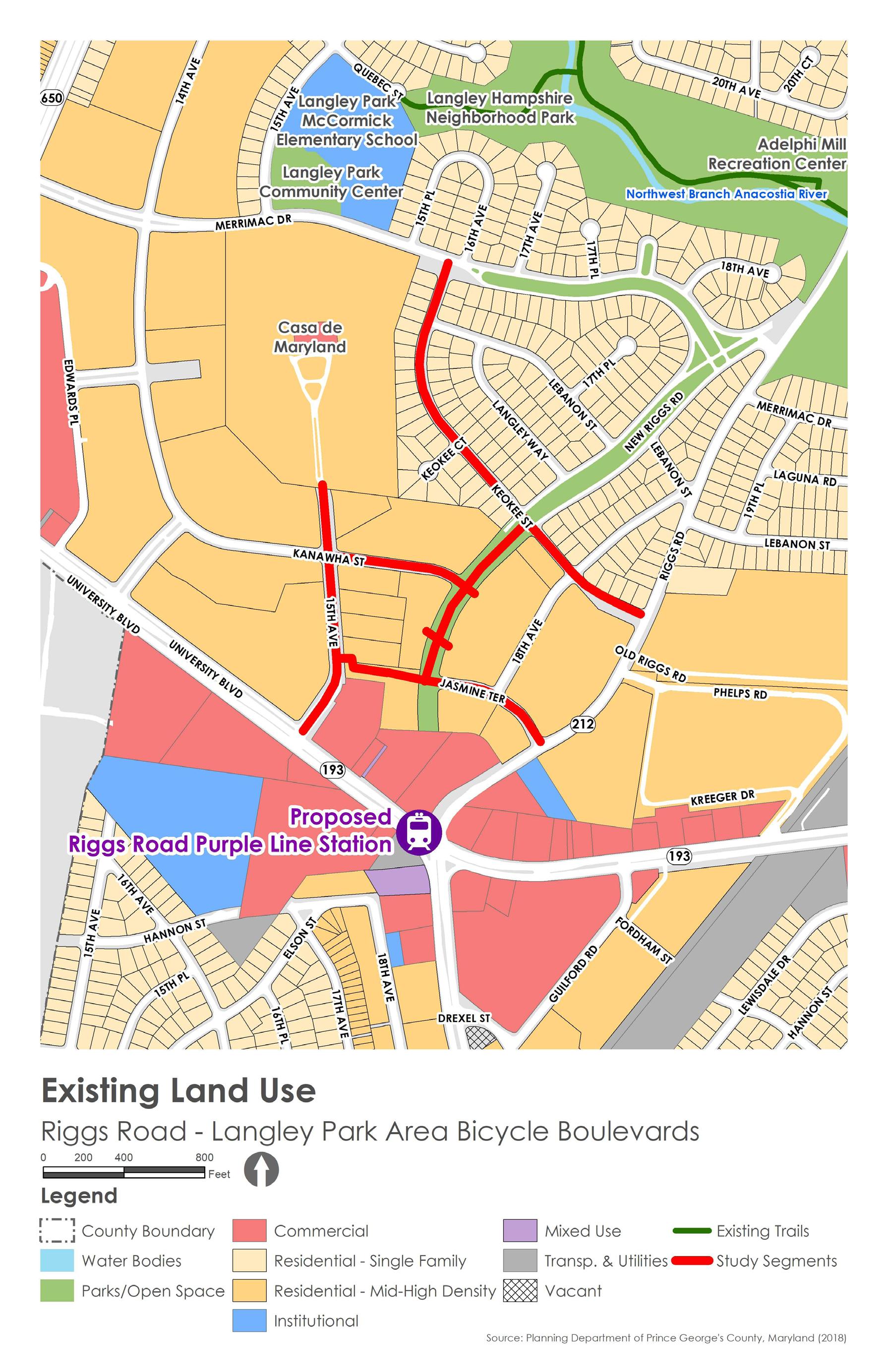
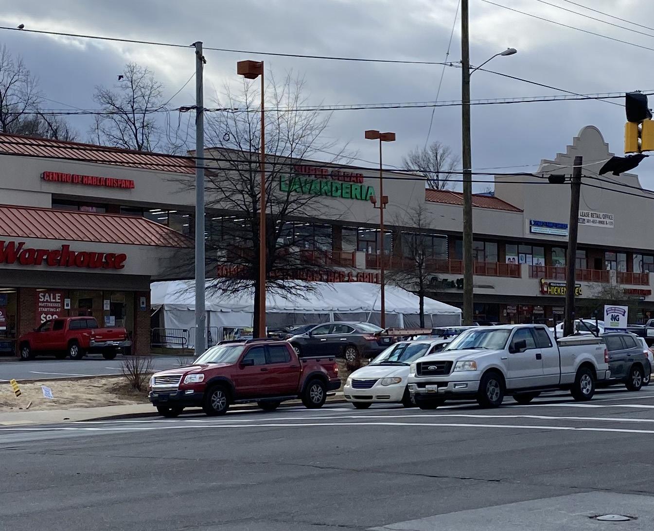
The study area is mostly comprised of multi-family and single-family residential uses. Commercial uses are concentrated along MD 193 (University Boulevard) and at the intersection of University Boulevard and Riggs Road, where the future Purple Line station will be located. The residential density decreases with distance away from University Boulevard from medium-density, three-story walk-up apartments to low-density, single-family detached houses. There are some open space and institutional uses toward the northern edge of the study area, such as Langley Hampshire Neighborhood Park, Langley Park Community Center, and Langley ParkMcCormick Elementary School.
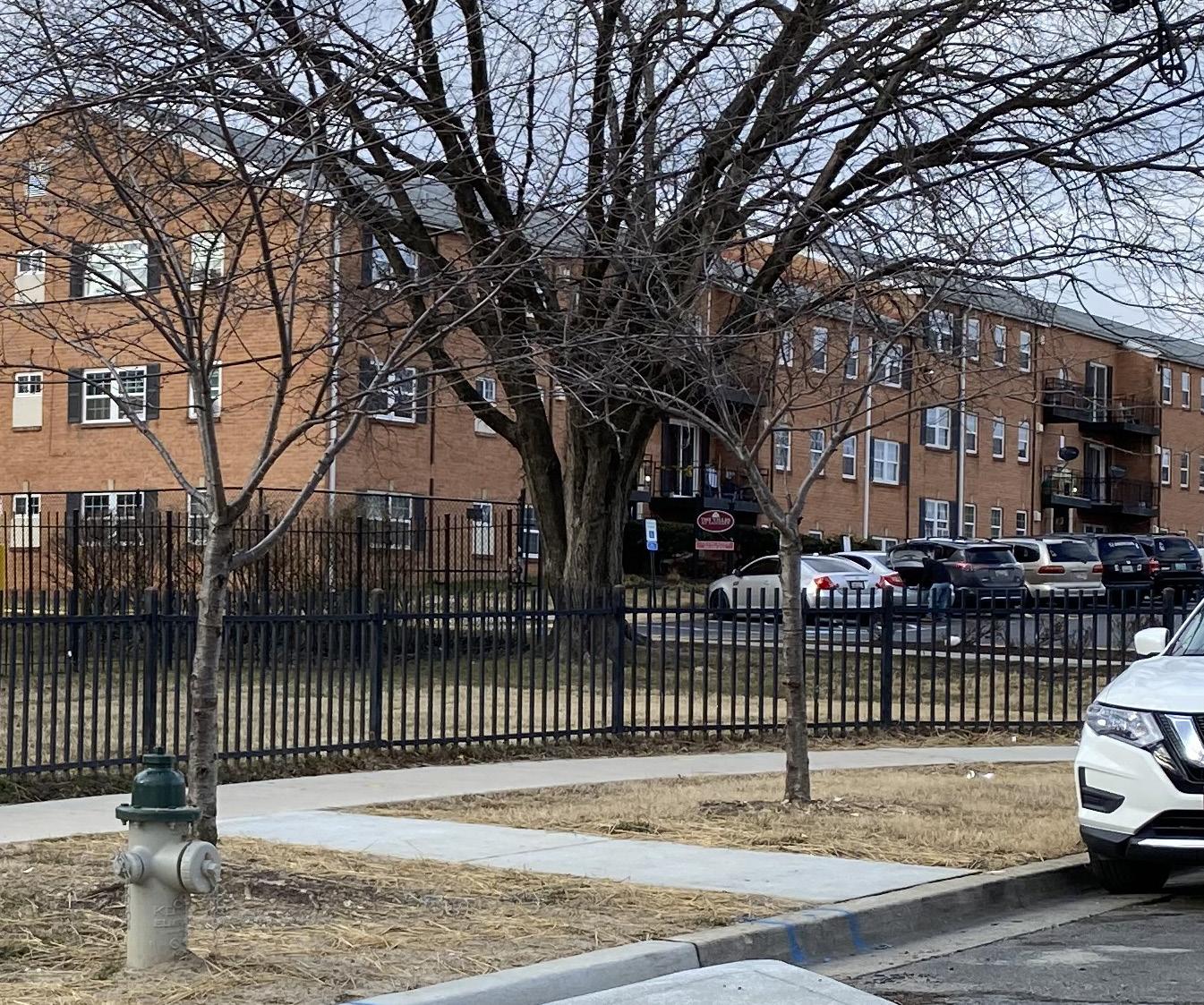
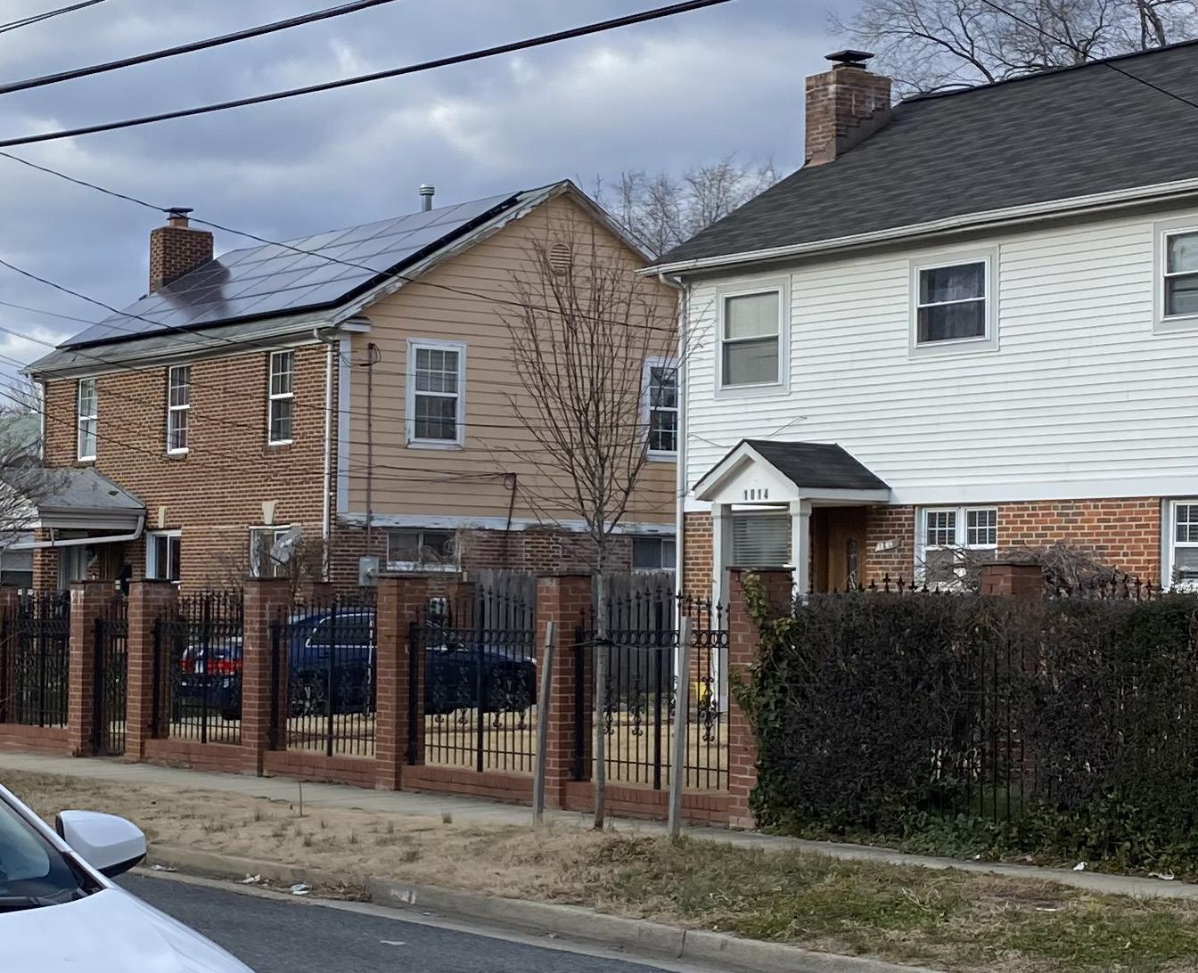
Apartment buildings fronting 15th Avenue . Single-family detached houses fronting Keokee Street .
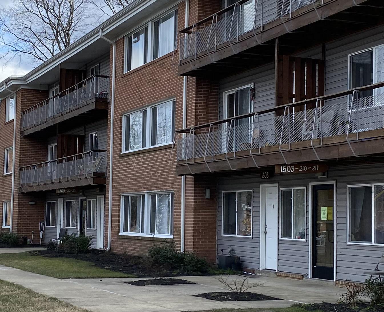
Apartment buildings fronting Kanawha Street, and Jasmine Terrace . Commercial and retail land uses fronting University Boulevard .
Map 2. Existing Land Use