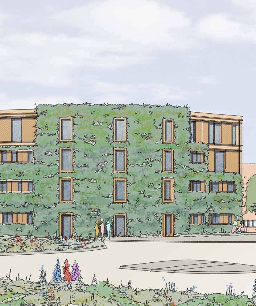
Code A Guide to Putting Placemaking First July 2021
Design
V1 - December 2020
V2 - July 2021
This document accompanies an Outline Planning Application (ref: O/20/89498)
All drawings, diagrams and images are shown for reference only. Please refer to the original application drawings.

2
This Design Code is arguably the single most important document that will be produced for One Horton Heath.
It will explain, guide and control all aspects of the site; coordinating the many components that, together, create beautiful places to live and to work and to play.
Placemaking is at the heart of One Horton Heath and this Design Code is the delivery mechanism for the Council’s aspiration to improve lives and support existing and new communities.
 Cllr Keith House Leader of Eastleigh Borough Council


3
“ ”
This Design Code is the embodiment of the aspiration to do better; the rejection of mediocrity. To achieve this vision, it has been important to engage with a range of organisations and individuals to ensure that every decision taken is not only true to the Project Brief but is evidencebased and well-informed.
A journey of consultation has enabled this Design Code to capture “locally distinctive” best practice. This can broadly be defined as two groups: those within the local community and Council members who represent the fabric of place; and the professionals who bring their expertise to enable delivery.
The One Horton Heath Team and the Project Board at Eastleigh Borough Council are actively challenging assumption, providing strategic direction and coordinating delivery. A network of professionals are employed to contribute to the evidence base and ensure that aspirations are rooted in deliverable reality.
A continuum of engagement has taken place with a number of professionals within a regulatory capacity - not only within Eastleigh Borough Council and Hampshire Council- but wider consultees including the Environment Agency, Natural England, the NHS, Hampshire Constabulary, bus operators and Sport England.
This has enhanced the evidence base on topics such as ecology, drainage, landscape, countryside access, highway safety, sports provision, health and wellbeing, urban design, sustainable transport, environmental health, secure design and public art. This has ensured that the concepts that inform this Design Code have been tested to inspire best practice and create robust long-term solutions.
ONE DEVELOPMENT
4
guided by expertise informed by knowledge driven by aspiration
The local community have played a central role providing aspiration, local knowledge and informed opinion. Extensive discussions have been had with Fair Oak and Horton Heath Parish Council and the Burnetts Lane Residents Association. To further support this, a Local Development Forum was formed and - over the course of 13 meetings between September 2019 and November 2020 - has had a direct influence on the shape of the development. The Forum included locally elected representatives, local education leaders, youth leaders and local residents. This means that every aspect of One Horton Heath is rooted in local experience and expertise.
Formal public engagement sessions were held over two days in September and two days in November 2020. As well as public Q&A sessions with the design team, these sessions were accompanied by pre-recorded films describing the proposals and discussing the key technical and design issues.
The One Horton Heath website was established early in 2020 to share the emerging plans and encourage open engagement. By November 2020 the page for Public Engagement had received over 5,000 views, including over 3,000 unique visits. Both the website and the One Horton Heath Youtube channel now host a series of short films focussing on key issues and sharing the ethos of the development.

Throughout the consideration of the outline application in 2021 there was significant additional feedback from the community and local stakeholders. This has supported the process of continual reflection and refinement which has shaped this Design Code into the document that was formally presented for planning consideration.

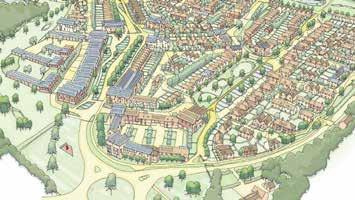
5
All of these inputs have influenced the guiding principles of the Design Code:
www.onehortonheath.co.uk Be a part of shaping our plans See the latest plans and hear from the team. Register to secure your place at; www.onehortonheath.co.uk/about/public-engagement Webinar dates and times; 2 September at 14.00-15.00 and 18.00-19.00 3 September at 14.00-15.00 and 18.00-19.00 Online public webinars Join us in September
A Design Code by everyone, for everyone
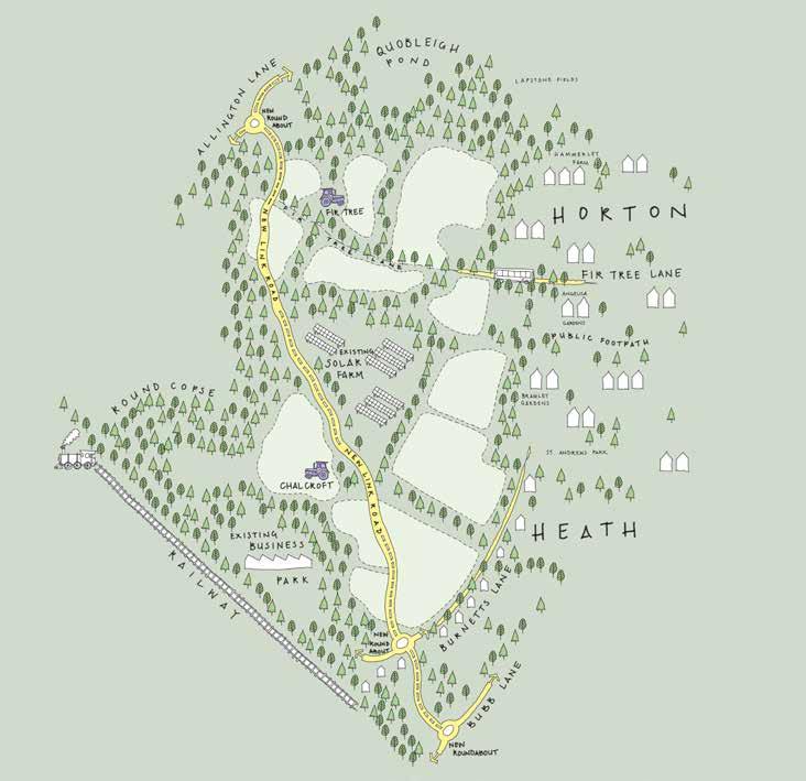


6 In Consultation With LOCAL DEVELOPMENT FORUM
Masterplanning
Project Design Team
Urban Design, Architecture & Design Code
Design Code Prepared By David Cranmer Lloyd Exley Seb Willett on behalf of Eastleigh Borough Council

Planning / Economy Consultant


Community Engagement
Landscape / Arboriculture
Ecology
Environmental / Noise / Air Quality / Lighting
Drainage
Highways
Sustainability
Heritage
Housing
7
28
Site Heritage
Site Hydrology
Site Landscape
Site Ecology
Land Availability
Gross Developable Area Deductions
Gross Residential Area

Net Developable Area
Physical Features Mapping
Approximate Development Quantum
84
The Masterplan
Access & Movement Parameters
Green Infrastructure Parameters
Land Use Parameters
Building Height Parameters
The Illustrative Masterplan
10 1.0 Introduction The Development Plan A Decision to Self-Deliver The Project Overview 14 2.0 Planning Process Outline Planning Application The Parameter Plans Transition from Principle to Detail The Design Code 18 3.0 Using the Design Code Background to the Design Code Working with the Design Code How to Use the Design Code 24 4.0 Core Design Principles Aspirations
5.0 The Site
Regional Context
Regional Landscape
Regional Heritage Regional Settlement
Site Context
Infrastructure
74 6.0
Infrastructure First
A New North-South Route HGV Routing
Surface Water Foul Drainage
7.0 Development
8.0 Making Places
Placemaking in Practice

A Well-Designed Place
A Hierarchy of Place
Making Places
The Lower Acre
Quobleigh Breach
Central Core
Chalcroft Farm
Fir Tree Farm
The Upper Acre
The Homestal
The Holme
The Folds
Chalcroft Outfarm Works
Chalcroft Avenue & Cycle Greenway
228 9.0 Detailed Design
114
Contents
Tollbrook
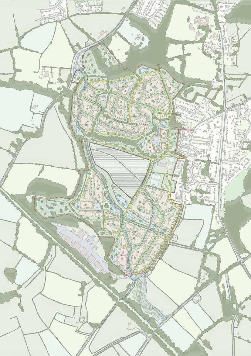
F ir T ree F arm H ub m arke T S quare F oxwood P rimary S c H ool S P orTS P i Tc H e S c H alcro FT o u TFarm w ork S T H e l ower a cre S olar F arm T H e u PP er a cre T H e H olme T H e F old S q uobleig H b reac H T H e H ome STal quobleigH STream F oxwood S T ream
railway H earTS S Tream c H alcro FT F arm c H alcro FT a venue b urne TTS l ane b ubb l ane b o T ley r oad b o T ley r oad F ir T ree l ane a lling T on l ane a lling T on l ane c H alcro FT a venue
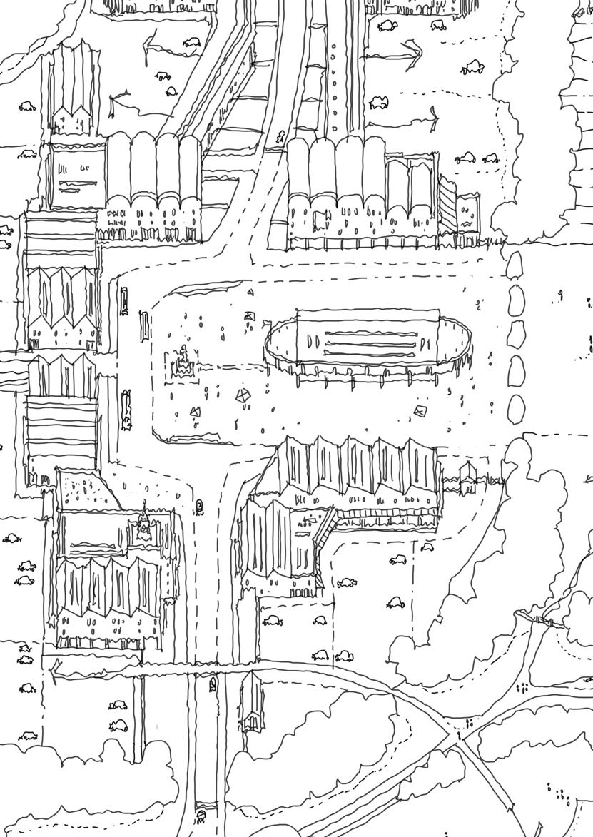
“One Horton Heath is a product of the commitment of Eastleigh Borough Council to improve lives and support its communities. This is a development strengthened by aspiration; a recognition that developments need to do more to truly deliver the places that our communities deserve”
11 01 Introduction
1.1 The Development Plan
1.1.1 In March 2018 Eastleigh Borough Council acquired a 310-acre development area at Horton Heath in Eastleigh – now known as One Horton Heath.
1.1.2 Development at this location has long formed part of the Council’s development plan, with an allocation for major development (Policy WE1) proposed within the proposed Local Plan 2011 – 2029.
1.1.3 The Council’s emerging Local Plan 2016-2036 continues to plan for major residential-led development on this site.
Decision to Self Deliver Adoption of Project Overview
1.2 A Decision to Self-Deliver
1.2.1 In mid-2019 the Council took two groundbreaking decisions which have fundamentally shaped One Horton Heath for the better.
1.2.2 The first, in June 2019, was the decision to self-deliver the entire development. The decision means that the Council has a significant and tangible stake in the project. In addition to being responsible for preparing all of the proposals and plans for the development as ‘promoter,’ the Council will also construct, market and dispose-of all of the assets created – making it the master developer and long-term steward for the entire project.
1.2.3 The second decision, in July 2019, was the adoption of a Project Overview. Prepared over the preceding year, the Project Overview, which includes the Project Brief, is the culmination of extensive cross-subject work to understand and test the Council’s aspirations and ambitions for this project.
1.2.4 The Brief comprises a Vision, Aims and Objectives for the site which, taken together, paint a picture of ambitious and people-orientated places that current and future generations aspire to live and work in. In short, One Horton Heath must become much more than simply a development project; it is a demonstration of what development can achieve.
Preparation of Design Code
01 Introduction
12
1.3 The Project Overview
1.3.1
The Project Overview is the starting point for all subsequent studies, designs and works produced in relation to the Project which seek to further understand and achieve the Aims and Objectives of the Brief.
1.3.2 Many of the creative solutions and designs which respond directly to the Project Overview are embedded within this Design Code and the many designs, drawings, reports and other information which relate.
1.3.3
To this end, the Design Code does not address each individual Aim and Objective point-by-point – rather, the Project Overview should be seen as a companion document which runs through all aspects of One Horton Heath and the Design Code, shaping all decisions and design responses.
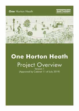
1.3.4 This Design Code should be read in conjunction with the Project Overview as this document provides much of the background and context – the larger Vision which this Design Code seeks to achieve.
1.3.5
The Design Code describes and codifies specific design responses to the Vision, Aims and Objectives of the Project Overview insofar as these are relevant to the Outline Planning Application and Masterplan. This process, and the interface of the Design Code with other aspects of the Planning Application, are explained in more detail in the subsequent section.
Introduction 01
13
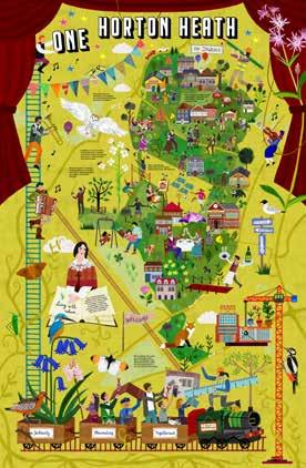
1. One Hortotn Heath Artwork by Kremena Dimitrova


Planning Process 15 02
“To ensure that the maximum benefits of the Design Code are derived, it is essential to appreciate its role within the mechanics of the planning application process”
2.1 Outline Planning Application
2.1.1 The Design Code has been prepared to support an Outline Application for One Horton Heath. This means that, whilst the details of the access to the site (i.e. the points of entry) are fixed by the outline planning permission, the remaining details for the site - its appearance, landscaping, layout and scale, must be determined through either a singular or series of subsequent Reserved Matters applications.
2.1.2 When determining that an Outline Planning Application is acceptable the Local Planning Authority must be satisfied that, in principle, the development complies with relevant national and local policies and any other material considerations.
2.1.3 In the case of One Horton Heath, there are a number of key issues and details that are fundamental to the principle of development and therefore need securing at the Outline application stage. Planning Parameter Plans are the mechanism for securing these details.
2.2 The Parameter Plans
2.2.1 The Parameter Plans are a series of plans which principally show three things:
• The fixed elements of the development that must be delivered;
• Indicative elements that must be delivered but are subject to a tolerance; and
• Indicative elements that are not fixed but show a clear aspiration which future applications should follow.
2.2.2 The Parameter Plans, and the rationales that produced them, are set out in Section 7: Development. The principles enshrined in these parameters and the process through which they were agreed upon mark a distinct transition within the placemaking journey from high level principles and concepts into a level of greater detail.
2.2.3 All future applications for separate areas of the site, subsequent to the Outline Application will use the Parameter Plans as the mechanism that ties them back into the wider Masterplan.
OUTLINEPLANNING
FUTURE RESERVED MATTERS PLANNING APPLICATIONS
02 Planning Process
A P P L ICATION
16
2.3 Transition from Principle to Detail
2.3.1 However, whilst the Parameter Plans establish what is required to make the development acceptable, the matters that they deal with are fundamentally - by their very nature - technical matters.
2.3.2 What they do not do in substantive details is seek to ‘place make’ – that is, to establish the identity of a development. Simply put, Parameter Plans are not placemaking tools. That is where the Design Code enters the equation.
2.4 The Design Code
2.4.1 A Design Code is a specific planning tool utilised primarily for outline planning applications for large scale developments. In its simplest form, as defined by National Planning Policy Guidance, a Design Code is “a set of illustrated design requirements that provide specific, detailed parameters for the physical development of a site or area”.
2.4.2 This Design Code will seek to go further and set out a methodology for future applications on the site to establish, through empirical and qualitative evidence, what an appropriate character could be and how key design issues across the site could acceptably be addressed. It will also set out best practice on a number of matters so that future applications appreciate the high quality of development required.
2.4.3 Placemaking is at the heart of One Horton Heath and this Design Code is the delivery mechanism for the Council’s aspiration to improve lives, and support existing and new communities.
2.4.4 With regard to practical implementation of the Design Code, it is a binding document tied to the granting of the Outline Planning Permission.
2.4.5 As set out within Section 3: Using the Design Code, it will contain both prescriptive and indicative requirements.
2.4.6 The prescriptive Fixed requirements must be complied with in future applications.
2.4.7 The indicative Flexible requirements establish ways in which both the applicant and Local Planning Authority consider future applications could deliver an acceptable development. They do not have to be strictly adhered to but, by virtue of their evidenced design process, should be robustly justified in any departure.
2.4.8 Both these prescriptive and indicative elements are clearly identified within this Design Code, and form a basis for the Local Planning Authority to assess future applications.
Planning Process 02 17

“As a tool, the Design Code will inform and control future development on the site through requiring compliance with a series of prescriptive and aspirational mechanisms”

19 03 Using the Design
Code
3.1 Background to the Design Code
3.1.1 The Design Code has one key function to articulate - translating how the technical detail secured by the outline planning application could be delivered in an acceptable form. Done successfully, this will bridge the gap between the outline planning application and future applications to ensure and capture the benefits of a composite approach.
3.1.2 Whilst the process of creating the Design Code was informed by many stakeholders, including the local community, its intended audience is principally practitioners involved in formulating and determining future applications. This will include Town Planners, Architects, Urban Designers, Landscape Consultants, Transport Consultants, Ecologists, Drainage Consultants, Utilities Consultants, Sustainability Consultants and many others.

03 Using the Design Code 20
The Design Code seeks to secure the highest quality of development at One Horton Heath
3.2 Working with the Design Code
3.2.1 Appreciating this diverse but principally technical audience is key to the way in which the Design Code is set out as, if the content is not displayed in a usable format, then its aspirations will not be harnessed by future practitioners and employed correctly to the benefit of the development.
3.2.2 The Design Code therefore seeks to align itself with the planning process recognising the elements of the development that are fixed, and cannot be changed by future applications, and where there is space for creativity and direction. To do this, whilst considering a diverse range of topics, the Design Code will clearly identify:
• Where it relates to Fixed elements that future applications must incorporate;
• Where it relates to Fixed elements that must be incorporated but are subject to a tolerance meaning that a future application has some discretion with regard to how that Fixed Flexible element is delivered; and,
• Where it is advocating a design concept or aspiration which demonstrates how a particular challenge may be met but, ultimately, there is discretion for future applications to decide how best to achieve that Flexible Innovation aspiration.
3.2.3 By adopting this approach the requirements and expectations of both the applicant and Local Planning Authority are set, and there can be no room for misinterpretation.
3.3 How to Use the Design Code
3.3.1 The Design Code seeks to secure the highest quality of development at One Horton Heath.
3.3.2 As discussed opposite, this is best achieved by through hierarchy of Fixed, Fixed Flexible, and Flexible Free elements which combine to respond to the parameters of the Outline Planning Aplication to deliver on the aspirations of the Project Overview.
3.3.3 The following pages therefore set out how a ‘typical’ part of Section 8: Making Places could look to demonstrate how the information should be interpreted.
Using the Design Code 03 21
•
Fixed Parameters
• The prescriptive Fixed requirements must be complied with in future applications.
• They are fundamentally described by the Parameter Plans, which accompany this Design Code as part of the Outline Planning Application.
•
Flexible Parameters
• The indicative Flexible requirements establish ways in which both the applicant and Local Planning Authority consider future applications could deliver an acceptable development.
• They do not have to be strictly adhered to, but by virtue of their evidenced design procecss, should be robustly justified in any departure.
03 Using the Design Code
22


Using the Design Code 03 23


25 04 Community Values
“Rooted in the core values of the Project Overview, the Design Code both sets and responds to the strategic vision of the outline planning application”
4.1 Aspirations
4.1.1 To translate words into action it is essential that the Design Code is rooted in the aspirations set by the Project Overview, so as to improve lives and support communities.
4.1.2 To ensure that these key tenets are carried through as placemaking principles the Design Code will demonstrate both how the parameter plans facilitate, and future applications must accord with, the following commitments on Healthy Community, Prosperous Place and Green Borough.

04 Community Values 26
Healthy Community
Improve the health and wellbeing of the people who live and work in the development and its communities to facilitate long, healthy and happy lives
Putting health and wellbeing at the core of design decision making;
Including high quality formal and informal sports, community and arts facilities that promote physical activity;
Enable healthier lifestyles by prioritising non-motorised transport and providing a high quality and safe movement network across the site and into the surrounding network which puts pedestrians and cyclists first;
Prosperous Place
Create a place with excellent employment and training opportunities where new and growing businesses want to locate. Provide high quality housing that meet local needs with good infrastructure to support growth
Making efficient use of land to provide homes to meet the needs of the local population and wider Borough;
Delivering a mix of housing types, tenures and sizes so that all parts of the community can access the development and contribute to the local economy;
Taking an infrastructure first approach to integrate key services and facilities to make the development an attractive place to live, work and invest;
Encouraging a range of employment types, levels and sectors to support wider inward investment strategies;
Development that meets a number of specialist needs including the challenges presented by an aging population such as being dementia friendly; and
Tackling social deprivation and empowering social cohesion by providing a mix of housing sizes and tenures that are treated equally.
Green Borough
Provide an environment where both residential and employment uses can flourish without tension; Create a vibrant local centre to meet the needs of the local community; and,
Integrate accessible community facilities for the benefit of all.
Green Borough
Leading by example by using resources efficiently and developing innovative solutions to help shape the quality of space for all
Delivering a landscape led development that builds upon the sites existing natural capital to deliver a usable network of high-quality green corridors to support wildlife, recreation and the movement of residents;
Protecting and enhancing ecological networks to achieve net biodiversity gain through supporting local biodiversity and habitats;
Tackling congestion through a clear movement hierarchy through and within the site;
Providing excellent air quality; Integrating sustainable transport options that are communicated effectively to remove barriers to use;
Minimising the use of natural resources with a low carbon approach that manages the production, reuse and recycling of waste, water and other natural commodities; and,
Minimising energy consumption and maximising energy generation through incorporating renewable technologies and driving energy efficiency.
Community Values 04
27
2. Eastleigh Borough Council Corporate Priorities


29 The Site 05
“One Horton Heath puts the existing natural capital of the site at the heart of the development”
5.1 Regional Context
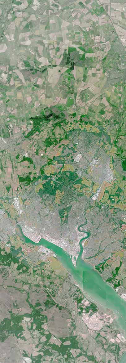
5.1.1 The region within which Horton Heath is located is a juxtaposition of natural and manmade features. The village lies on the Eastern edge of a vast natural basin and floodplain of national importance to biodiversity – the River Itchen; this in turn is nestled in the crook of the M27 and M3 motorways, accompanied by the increasingly populous conurbation of Eastleigh, Southampton, and their satellite settlements.
5.1.2 The south of Hampshire, the village of Horton Heath and the site itself have a rich natural and human history. As with much of the wider region, human interaction with the natural world has, over many centuries, shaped the landscape within which Horton Heath sits. For the development to be truly landscape-led it is important that first, the qualities that make the region unique are captured and understood.
05 The Site 3. Regional Context 30
The region within which Horton
m27 rail rail river iTcHen SouTHamPTon waTer T H e n ew F ore ST SouTHamPTon eaSTleigH wincHeSTer weST end
Heath is located is a juxtaposition of natural and manmade features

31 m3 rail rail river iTcHen T H e S ou TH d own S Hedge end m27
130
120 - wealden
121 - low weald


125
126
127
05 The Site 32
4. Hampshire County Landscape Character
6. Natural England National Character Area Profiles
5. Eastleigh Borough Landscape Character
128 - SouTH HamPSHire lowlandS
- HamPSHire downS
- SouTH downS
- SouTH coaST Plain
- iSle oF wigHT
131 - new ForeST
135 - dorSeT HeaTHS
132 - SaliSbury Plain & weST wilTSHire downS
134 - dorSeT downS & cranborne cHaSe
greenSand
5.2 Regional Landscape
5.2.1 Natural England identifies the region within which the site is located as “128 - South Hampshire Lowlands,” having the following key characteristics:
• Low-lying, undulating plain abutting the chalk Downs to the north and coastal plain and Southampton Water to the south;
• Fast flowing chalk rivers in wide open valleys with watermeadows and riparian vegetation that provide valuable wildlife habitats;
• Well wooded farmed landscape;
• Mixed agricultural landscape dominated by pasture with small pockets of horticulture and arable;
• An intimate and enclosed field pattern with many small and irregular fields generally bounded by mixed species hedgerows or woodlands; and,
• In parts a very urban area dominated by the city and port of Southampton …. The more rural hinterland is characterised by small, loosely clustered or dispersed settlements, intermixed with isolated farmsteads.
Hampshire County Landscape Character
Forest of Bere (west)
Itchen Valley
Eastleigh Borough Landscape Character
Upper Itchen Valley
Lower Itchen Valley Floodplain
Knowle Hill Farmland & Woodland
Horton Heath Undulating Farmland
M27 Corridor
5.2.2 The Hampshire County Council “Integrated Landscape Character Assessment” adds the following points about the local area:
• A low-lying landscape with shallow undulations, predominantly south sloping;
• Locally popular and accessible woodland areas;
• Permanent pasture, plantation woodland and small holdings with secluded heavily wooden which is often ancient;
• Hedgerows that are often low but with spreading mature oaks often of ancient origin;
• Extensive 20th century development, including urban expansion and infilling of common-edge settlements;
• Historically a mixed settlement pattern of low density formed arounds streams and heathland; and,
• Rich biodiversity including woodland, heathland, grassland and wetland.
The Site 05 33
LANDSCAPE CHARACTER
• Impermeable clay-sand sub-soils and topography giving rise to a series of tributaries and streams discharging to the Itchen and Hamble
• Dispersed settlements surrounded by agricultural field patterns and host farmsteads

34
SouTHamPTon waTer
river iTcHen
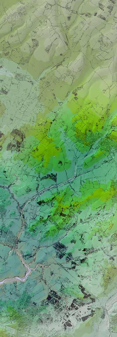
5.2.3 Between Horton Heath and Eastleigh Town lies the River Itchen and associated Floodplain – a major watercourse and designated Special Area for Conservation. This has a notable impact on the hydrology, topography and landscape of the region, with the Floodplain marking a natural low-lying basin into which many watercourses and tributaries flow.
5.2.4 This is true of much of the area surrounding the site which contains many tributaries emanating from higher ground to the East and with flows trending South-West to join the Itchen. This trend also follows a general fall from East to West, accompanied by a trend towards increasingly wet soils and areas.
5.2.5 Whilst falling within the ‘South Hampshire Lowlands’ region, the land surrounding Horton Heath has its own unique identity. Unlike much of the North of the region, this area is underlain by clay-sands – both associated with and contributing to the unique riparian characteristics of the area.
5.2.6 The suburban settlement pattern where Horton Heath is located has a higher degree of dispersion than found on adjacent chalk areas, with isolated modest farms and cottages set within medieval and later enclosed fields linked by networks or minor roads and narrow lanes.
5.2.7 The farmed landscape is typically pastoral in character with a field pattern comprised of a patchwork of small, intimate and irregular fields defined by hedgerows or woodland.
The Site 05 7. Landscape Overlay 35
THe SouTH downS
river Hamble

8. Historic Settlements 36
eaSTleigH Town SouTHamPTon airPorrT weST end midanbury THornHill Hedge end boTley biSHoPSToke Fair oak durley lower uPHam colden common cHandler’S Ford HorTon HeaTH
At a regional scale, the heritage of the area is a direct response to the landscape
5.3 Regional Heritage
5.3.1 At a regional scale, the Heritage of the area is a direct response to the landscape – the ways in which the topography, hydrology and geology have made the land suitable or unsuitable for inhabitation and for specific uses.
5.3.2 Although the Roman occupation and preceding periods left their imprint, the early medieval period really marks the beginning of the story for the landscape that is still visible today within the immediate region.
5.3.3 Until this period, having no firm grounding features or natural resources such as major rivers, the major historic influences on the landscape occurred slightly further afield, giving rise to major settlements.
5.3.4 As the area moved through the RomanoBritish period and beyond, the landscape within Hampshire retained its primarily rural characteristics but became increasingly interspersed with villas and farmsteads with a network of roads linking major settlements such as Winchester and Southampton. Ditches and potholes from this period are prevalent making the spread of early agricultural enclosures and associated infrastructure.
5.3.5 Moving through the early medieval and medieval eras, the landscape continued to evolve with the scattered pattern of manors and farmsteads reflecting the rural agriculture-based society.
5.3.6 Both Parishes associated with the site (West End and Fair Oak & Horton Heath) are mentioned in the 1086 Domesday survey. Chalcroft Farm is first recorded appearing in a 1233 document as Chalfecroft – literally, Chalfe Croft – Calves Croft or Paddock. It is clear that, by this stage, the landscape is firmly in the grips of an agricultural economy which responds to the by then well-established system of settlements, parishes and boroughs.
5.3.7 This is consistent with the wider use of this part of Hampshire during the medieval period – a predominance of medieval forests comprising managed woodland, heathland and agricultural land, all of which was interspersed by settlements and isolated farmsteads.
5.3.8 It is likely that the site itself in the medieval period comprised a mixture of farmland, wood pasture and coppice given that Lidar imagery indicates the presence of ridge and furrow earthworks. Medieval field patterns have been identified extensively in and around the village of Horton Heath.
The Site 05 37
5.3.9 As the area moved into the post-medieval and modern periods the agricultural use of the wider area continued and the original piecemeal enclosures became formalised under the 18th and 19th Century Inclosure Acts. These characteristics are succinctly captured by the “Hampshire Historic Landscape Assessment” which characterises the area as:
• Small Wavy Fields which are distinguished from assarts by a lack of scattered woods and copses;
• Medium Regular Fields with Straight Boundaries which were primarily formed through the 18th and 19th Century Parliamentary Enclosure Acts;
• Small Regular Fields with Straight Boundaries also primarily formed through the 18th and 19th Century Parliamentary Enclosure Acts; and
• Medium Irregular Assarts and Copses which were created through the clearance of woodland for agricultural use in the medieval to early post-medieval periods.
5.3.10 These field patterns are still frequently recognisable across the area in the form of regular field patterns and numerous copses. Much of this can be traced through numerous historic maps including:
• Milne Map of 1791
• Great Allington Enclosure Map of 1825

• South Stoneham Tithe Map of 1844
HERITAGE CHARACTER
• A distinct landscape character informed by agricultural response to topographical and hydrological context
• Various farmsteads growing and shrinking to suit produce and livestock, establishing a framework of field boudnaries that has endured to this day
05 The Site
38
9. Milne Map of 1791


The Site 05 39
10. Great Allington Enclosure Map of 1825 showing small, irregular field boundaries resulting from medieval ‘assarting’ around Fir Tree Farm
11. South Stoneham Tithe Map of 1844 showing consistent, rectilinear field boundaries at Chalcroft Farm resulting from Parliamentary Enclosure
5.4 Regional Settlement
5.4.1 As discussed under the previous headings, the very distinct regional landscape character of the area has dramatically influenced where people have historically settled.
5.4.2 Having ‘settled’ in the landscape, understanding the subsequent growth of a community is a critical aspect of how landscape and urban form relate to each other. Although ‘placemaking’ is a very modern term, it exists throughout history as the undefined process of a community gradually developing a harmonious relationship with its landscape setting and urban context
5.4.3 The current character and qualities of any Hampshire settlement - major city or minor hamlet - can be broadly described as one of three types:
• Valley Towns
• River Villages
• Farm Heaths
5.4.4 Each of these settlement types has its own particular narrative: why it was originally formed, what activity it has accommodated, and how it has grown through its history. A summary of these types can be found on the following pages.
SETTLEMENT CHARACTER
• Countryside shaped through medieval and post-medieval field patterns with strong boundaries
• A pattern of development responding to historic centres and, more recently, to infrastructure
05 The Site
40


41
13.
Settlement Ridges
12. River Valley Settlement Corridors
Heathland
The Valley Towns
These are typically major urban centres of historic and contemporary regional importance. As typical of all settlement types, they formed in places where natural constraints and availability of resources were in a favourable balance, and tend to be the oldest and most well established settlements. Their subsequent growth can be observed in parallel with the growing importance of their unique communal functions: large markets, seats of worship and, most recently, transport interchanges. The Valley Towns have generally seen a more gradual and consistent expansion, typically developing denser urban cores during the Industrial Revolution, followed by more sprawling Postwar suburbs in the midlate 20th century. Eastleigh Town is shown as a good example of this typology.
The River Villages
These are often secondary settlements further afield in the landscape, with more conventional ‘village’ centres rather than urban cores. They are usually located at river crossings, with associated markets and railway links nearby. The River Villages can be seen as well preserved smaller scale settlements, with modest low-density growth in the mid-late 20th century. Botley is illustrated here.
The Farm Heaths
These are a more peculiar type of settlement. Historically they are rarely more than a cluster of houses at the crossroads of routes linking farms across the landscape. In the Prewar era, most are entirely reliant on the River Villages or Valley Towns as their service centres. It is, however, the Farm Heaths that have seen the most expansive growth over the past 75 years. Suburban ribbon-type development stretches out along the key roads, albeit never forming a conventional high street, with larger pockets of dwellings being built in a piecemeal fashion over the rigid parcels of historically enclosed fields. Horton Heath is shown here.
05 The Site
42


The Site 05 43
14. Eastleigh OS 25-inch 1892-1914
15. Botley OS 25-inch 1892-1914
16. Horton Heath OS 25-inch 1892-1914
5.5 Site Context
5.5.1 At a regional scale, the landscape has shaped and influenced the historic usage and evolution of the land. Patterns of development and land use have grown up around key landscape features including water bodies and other natural resources.
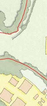
5.5.2 At a site level, though, the opposite is largely true – the historic site usage has shaped and influenced the landscape that is visible today.
5.5.3 The extensive planning history that underpins the journey which One Horton Heath has taken thus far has afforded a level of knowledge and data pertaining to the existing site which is rarely available on developments of this scale.
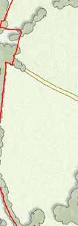
5.5.4 Surveys of the site commenced in late 2013 and continued through 2014 - 2016 to support the earlier planning permissions grated for the site in 2016 and 2017.
5.5.5 The survey work recommenced in 2018 in support of the Council’s journey towards preparing a new holistic masterplan for the development area. This survey work continued across 2019 and 2020, culminating in the submission of the new outline application. The One Horton Heath development proposals are therefore supported by an extensive and intimate knowledge of the site; of its many physical characteristics and the opportunities which these present.
5.5.6 The Outline Planning Application takes a logical, sequential approach to understanding the site and allowing these factors to properly shape and influence development proposals.
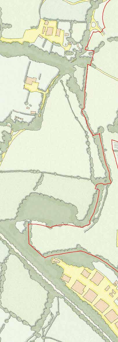
5.5.7 The following section is intended to give an overview of some of the key characteristics of the site and how these have shaped the Masterplan and this Design Code.
05 The Site
44
17. Farmsteads Overlay
F ir T ree F arm c H alcro FT F arm
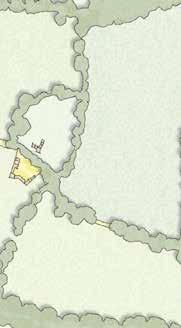
The history of the site is fundamentally entwined with the history of three quintessential Hampshire farmsteads



45
F ox H ole S F arm ( F ormer )


 18. Fir Tree Farmhouse Eastern Front
20. Fir Tree Farmhouse Northern Front
19. Fir Tree Farmhouse Southern Front
46
21. Fir Tree Farm OS 25-inch 1892-1914
5.6 Site Heritage
5.6.1 The site is broadly comprised of three historic farmsteads: Fir Tree Farm, Foxholes Farm, and Chalcroft Farm. Each of these farms is clearly identifiable on historic maps dating back to the 18th Century and before.

Fir Tree Farm
5.6.2 Fir Tree Farm is situated to the North, on Fir Tree Lane. The focal point of this farm is Fir Tree Farmhouse, a Grade II Listed Building believed to have been constructed during the 18th Century, potentially on the site of a previous farmhouse.
5.6.3 Alongside this stands Victoria House, a modern barn-style reconstruction on the site of a Listed barn which collapsed during the 1980’s. Fir Tree Farmhouse is somewhat grandiose, with its most impressive aspect –the building frontage - is turned away from Fir Tree Lane and the former Barn location.
5.6.4 Perhaps a more enduring legacy of the farm is the field pattern which it has imposed over may centuries on the entire Northern part of the site, likely as medieval ‘assarts.’ The field pattern visible on the earliest maps remains unchanged to the present day – where field boundaries now exist in the form of mature treelines and veteran trees. These enclosures lend the North of the site a distinct character of self-containment with limited visibility and permeability from field to field.
5.6.5 Although much of the farm’s land has remained in low-intensity agricultural use up until late 2018, the Farmhouse, Victoria House and the surrounding areas had long since ceased to be agricultural in use.
Foxholes Farm
5.6.6 Foxholes Farm is recorded on early maps as ‘Horton Heath Farm’ and, later, ‘Foxhall Farm.’ It sits at the North East of the site where Fir Tree Lane meets the existing settlement of Horton Heath.
5.6.7 It is the smallest and most modern of the three farmsteads. Similar to Fir Tree Farm, Foxholes Farm has helped to impress a distinct sense of enclosure upon the Northern part of the site through strong field patterns edged by woodland. No buildings associated with the farm remain.
The Site 05
47
22. Foxholes Farm OS 25-inch 1892-1914
Chalcroft Farm
5.6.8 Chalcroft Farm, forming the South half of the Site, likely has medieval origins, first appearing in a document of AD 1233 as ‘Chalfecroft’, meaning ‘Calves Paddock’. It is also recorded on later maps as ‘Chalk Croft’ and ‘Calcroft’ before arrival at the present ‘Chalcroft.’ In addition to being the oldest, Chalcroft is the largest of the three farms, accounting for the entire Southern half of the site.

5.6.9 A study of the site’s remaining buildings paints a picture of a thriving, growing farm which has expanded and adapted over centuries to meet changing demands and circumstances. Whereas the two other farms appear to have been predominantly arable, Chalcroft has always been associated with livestock farming.
5.6.10 Present day home to the Owton’s Family Butchers and cow herd, amongst the buildings on site are a slaughterhouse dated to 1909, Milking Parlour dated to 1890’s and a Barn believed to have been constructed in the mid-18th Century. Indeed, the name ‘Chalfecroft’ or ‘Calves Paddock’ suggest that the basic use of the farm may not have changed since medieval times.
5.6.11 The yard at Chalcroft Farm alone accounts for over 50% of the buildings and structures on the entire site – historic or otherwise –forming a key focal point at the South. Unlike the other Farms, although some strong features still exist– such as Round Copse, and the pond and trees at the yard - many of the field patterns that would have existed in antiquity are either weak or non-existent.
5.6.12 Whilst all the buildings, with the exception of the Granary, are either beyond repair or of little heritage value, this is of minor consequence as it is the setting and composition of the traditional farmstead which is the enduring character worthy of celebration.
HERITAGE PRINCIPLES
• Strong field patterns and boundaries which should be respected and preserved wherever possible
• Three key areas of historic character, along with buildings and other features, that should impact and inform design approaches
05 The Site
23. Chalcroft Farm OS 25-inch 1892-1914
48
5.6.13 Given this agricultural heritage, which has shaped the landscape, it is therefore no surprise that the character of the site changes dramatically at the North/ South divide between Chalcroft and the other farms. Whereas to the North the site is extremely self-contained with discrete fields separated by strong wooded boundaries, the South of the site is very open and rolling with longdistance views available in many locations.


The Site 05
24. Chalcroft Farmhouse Eastern Front
25. Chalcroft Farm Historic Barns
49
26. Aerial Photo showing setting of Chalcroft Farm
5.7 Site Hydrology
5.7.1 The site falls almost entirely within the catchment of the River Itchen. However, it is notable that the hill brow which runs parallel to and South of Burnetts Lane is the boundary between the River Itchen and River Hamble catchments. In theory, therefore, a very small proportion of the Southernmost part of the site falls towards the Hamble rather than the Itchen. This divide is actually an important aspect and ecological opportunity.
5.7.2 The site is undulating, interspersed by small watercourses and streams which all run to the River Itchen. The hydrology of the site is such that water generally flows East to West towards Allington Lane and the floodplain beyond.
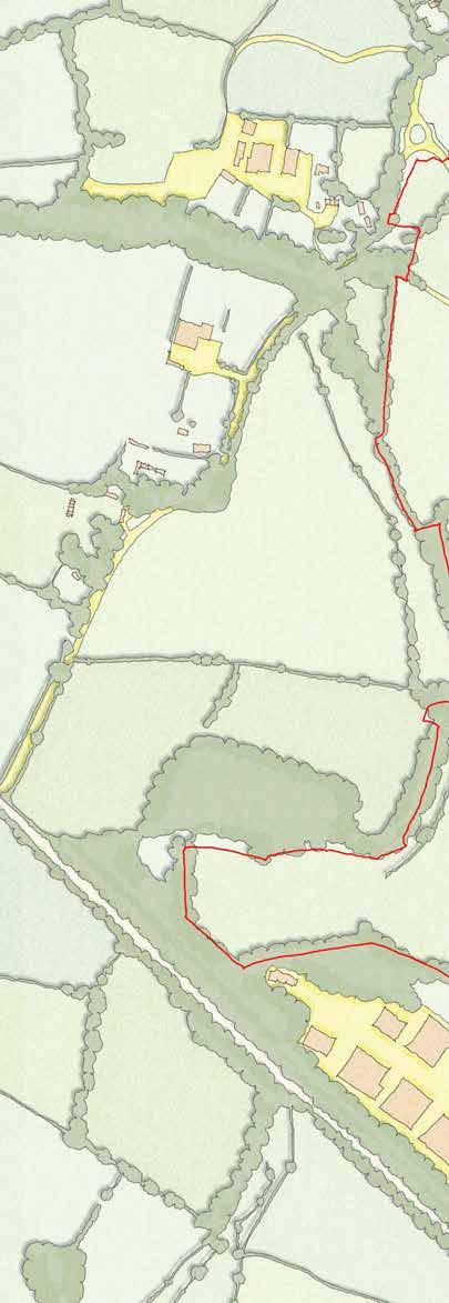
5.7.3 The site is split by 3 watercourses:
• Quobleigh Stream, at the North
• An unnamed Stream (labelled hereafter as Foxwood Stream)
• An unnamed Stream (labelled hereafter as Tollbrook)
5.7.4 These three streams, each marking natural valleys in site topography, combine with a fourth unnamed stream - Hearts Stream – which flows South-to-North along the Site’s Western boundary.
5.7.5 The combined stream flows as a single watercourse across Allington Lane and East, past Lake Farmhouse, until joining the Itchen.
5.7.6 By contrast, the Western extents of the site are relatively free of watercourses and water bodies.
05 The Site 27. Hydrology Overlay 50
H earTS S T ream
HYDROLOGY PRINCIPLES
• Existing watercourses to be retained and respected within the Masterplan
• SUDS locations to follow natural topography as much as possible

51 q uobleig H S T ream & P ond
F oxwood S T ream
T ollbrook


05 The Site
28. Existing Woodland
31. Aerial View facing North over Bubb Lane showing larger, more regular ‘Parliamentary’ enclosure landscape
32. Aerial View facing South over Quobleigh Woods showing smaller, irregular ‘assart’ enclosures and undulating topography
29. Existing Watercourses
52
30. Existing Ecology Corridors
5.8 Site Landscape
5.8.1 The landscape of the site is very much a legacy of the Heritage and Hydrology. These two aspects have dictated, between them, which parts of the site are densely vegetated and which parts are open.
5.8.2 The site comprises large farmed fields, generally bounded by natural features such as hedgerows, tree belts and watercourses. This delineation is an important feature of the site – for the most part, the areas which are and are not ‘developable’ are clearly defined by existing natural features.
5.8.3 Despite these similarities, and as has been referenced above, the South and North of the site do have distinctly different landscape characters. These characters are separated by Foxwood watercourse and tree belt which crosses the site East to West.
5.8.4 This aspect of the site is recognised by the Hampshire County Council ‘Landscape Character Assessment” which identifies Fir Tree Lane as the division btween different Landscape Character Areas.
5.8.5 South of Fir Tree Lane is identified as ‘Lowland Mosaic Open’ which includes the following characteristics:
• Close proximity to watercourses;
• Nearly all farmed land;
• Intensively farmed landscape;
• An open nature attributable to relatively large fields and boundary loss and very low woodland cover; and
• Less biodiversity interest excluding neutral grassland, remaining woodland and hedges.
5.8.6 North of Fir Tree Lane is identified as ‘Lowland Mosaic Small Scale’ which includes the following characteristics:
• Often small enclosures, small areas of woodland and undulating topography which produces the sense of a small-scale landscape;
• Associated mostly with small chalk fed streams;
• Generally high to very high density of dispersed small farmsteads and hamlets;
• Small semi natural and ancient woodland copses and hedges of varying character;
• Frequently a high density of public rights of way and winding lanes; and
• Varying types of enclosures but some of the most historic.
The Site 05 53
5.8.7 At the South, the land is open and rolling, with exceptionally large fields framed by weak hedgerows. As a result, views across the South of the site are long with significant intervisibility from a range of places within and without the site.
5.8.8 At the Eastern edge, the settlement of Horton Heath is visible – starting as a dispersed line of cottages along Burnetts Lane and becoming much more formal as it meets the settlement edge of the existing village.

5.8.9 To the West and North, the Southern half of the site is framed by strong, tall tree lines which largely screen the site from longer views.
5.8.10 To the North, the site is very enclosed. It comprises smaller fields which are enclosed by very strong and well-established treelines – most likely the result of medieval assarts. From the far North, viewed from Allington Lane, there are long distance views into the site, although these are heavily filtered by existing treelines. However, the remaining fields are almost entirely self-contained with no visibility from one field to the next, or to external spaces. The Eastern-most field actually includes the highest point on the entire site. However, it is entirely concealed from external view by the height of the tree and woodland belts which enclose it.
5.8.11 Much of the woodland at the boundary of the site is classified as Ancient Woodland with additional designations such as SINCs also present. These designations have additional requirements for separation and protection which will influence the design of nearby development.
05 The Site
54
33. Farmsteads and Fields Overlay
LANDSCAPE PRINCIPLES
• Acknowledge the distinct characters of South and North
• Form of development which responds to the landscape character in terms of height and form, responding to the visibility and/ or enclosure
• Respect existing and wellestablished boundaries and features
 c H alcro FT F arm
F ir T ree F arm 55
F ox H ole S F arm ( F ormer )

34. Ecological Connectivity Overlay 56
5.9 Site Ecology
5.9.1 The network of habitats, flora and fauna across the site are, in turn, a legacy of the site’s heritage, hydrology and landscape. Ecologically important features and areas are mostly focussed around those natural features such as watercourses, treelines and hedgerows.

5.9.2 Conversely, the open fields of the site have mostly been intensively farmed for many years, leaving these devoid of habitats and biodiversity. In some cases, farming practices are damaging to biodiversity and wider ecological networks.
5.9.3 With the exception of Tollbrook, the site’s watercourses are heavily wooded and vegetated, making these rich and important ecological networks which serve as movement corridors for a range of species.
5.9.4 Although these features are valuable in their own right, it is the connectivity that they offer which is most important. They allow movement from South to North along a variety of routes.
5.9.5 What can also be seen from the ecological network mapping is the relative weakness of the East-West corridor, with limited connectivity provided by existing features. Given that this East-West corridor also represents a ‘bridge’ from the Itchen to the Hamble catchment, this is a desirable connection.
The Site 05
57
35. Chalcroft Farm Pond is a well established man-made feature in the ecological landscape
5.9.6 A key opportunity exists in this respect – the Chalcroft Tolls provides existing hedgerows, enclosing a track, which form an East-West route. However, the route is weak, being very narrow and with poorly established hedgerows. As a corridor, though, there is the opportunity for this area to be widened and made more attractive to serve as a wildlife movement corridor.
5.9.7 Finally, there are also a number of ‘oddities’ based around man-made features. For instance, Chalcroft Farm has become a relatively diverse collection of habitats. The collection of dilapidated buildings, along with poorlymaintained vegetation and a man-made pond have allowed Bat and Great Crested Newts populations to establish in a location which appears relatively artificial and disconnected from other networks. The Great Crested Newt population, in particular, is extremely isolated.
5.9.8 Likewise, Fir Tree Farmhouse is an important maternity roost for Brown Long-Eared bats. Unlike Chalcroft Farm, though, the building is ideally located within a continuous network of mature trees and seems an ideal location. Each of these features requires careful consideration within the masterplan, although each will be treated differently according to the ways in which they can be incorporated into the proposals.
ECOLOGY PRINCIPLES
• Existing networks and connectivity, as shown, to be retained and enhanced
• New East-West connectivity to be achieved or improved wherever possible
• Existing man-made features require careful consideration and treatment within the Masterplan
05 The Site
58

59 36. Ecological Survey

60
5.10 Land Availability
5.10.1 Capturing the natural capital of the site is an important point in the process that takes any parcel of land from its current natural form to a development site. However, it is essential that the natural capital is captured logically and spatially so that, when the masterplanning process begins, it is clear what land is available for development and what, due to the natural constraints of the site, is not available.
5.10.2 The starting point is that all of these factors and features have been extensively mapped and assessed - for their impact on the site, on land availability, and proposed masterplanning. The features have been categorised sequentially according to their respective importance and impact, as follows (these strictly defined definitions have been used throughout all subsequent aspects of the design process so as to avoid confusion with terminology).
5.10.3 This section will set out how these definitions have been applied taking a logical journey from the total site area, to the adjusted site area to discount completely undevelopable areas before moving on to the gross developable area where some form of development can occur.
5.10.4 The section will then conclude by setting out which parts of the gross developable area are appropriate for built form and which are not before finally setting out the land remaining available for residential development.
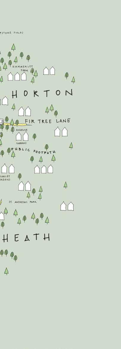
The Site 05 37. Land Availability Concept Diagram 61
Total Site Area
This is the total area of land within EBC’s ownership. It should be noted that even this area excludes some small parts of the site – notably, areas of existing adopted highway which form part of the development proposals but are not owned by the Council.
Adjusted Site Area
This excludes areas which are completely undevelopable by virtue of various constraints and features.
From the Total Site Area, deduct any areas where no change is expected – no development, whether hard or soft, is expected in these areas and they will remain largely unchanged in character and use. Deductions include:
• All retained trees and hedgerows incl’ their exclusion zones
• Any areas of Ancient Woodland (taken to the canopy of Ancient Woodland)
• Any areas of SINC
• Any Watercourses
• A 1.44 Hectare area of land immediately South of the Solar Farm which has been earmarked to receive relocated solar panels in the event that the proposed Link Road displaces existing solar panels. It should be noted that features accounted for within the Adjusted Site Area only include the physical area of those constraints, not the areas of any protection zones required or recommended by any policy or guidance. Those are accounted for within subsequent categories.
Gross Developable Area
Ths includes all those areas where some form of development, including features and works ancillary to development are acceptable in principle.
From the Adjusted Site Area, deduct any areas where a decision has been made to exclude these from consideration as developable parcels. These decisions were taken due to ‘softer’ constraints – in theory, these areas are capable of accommodating development but will not be included. The detailed explanation of these reasons follows.
It is important to note that, whilst these areas will remain ‘undeveloped,’ appropriate uses will be acceptable here – such as informal public open space, ecological mitigation and landscape planting.
Gross Residential Area
This is the Gross Area of land which is expected to be solely residential . Having accounted for those Non-Residential uses which the site must provide.
Net Residential Area
This is the Nett Area which is available to be built on, having deducted those buffers and areas which are included within the Gross Residential Area but which cannot be used for ‘hard’ forms of development SUDS as roads and buildings.
05 The Site
62


63 T oTal S i T e a rea
5.11 Gross Developable Area Deductions
a) Southern Link Road Ancillary Land
5.11.1 This area has long been identified as forming part of an important visual and landscape gap which separates Horton Heath from Hedge End. In addition, the land parcel follows the shape of the new Road and earthworks. Although physically capable of accommodating development, it has been determined that the whole of this area will remain undeveloped.
b) South-West Flood Plain
5.11.2 The whole of this low-lying area is within Flood Zones 2 & 3; it is permeated by a number of watercourses and, by virtue of its location and topography, is frequently waterlogged. Whilst this renders the area unattractive for development, it also means that this area has a lot of potential for ecological enhancements and other benefits. It has therefore been decided through the design process that this area will remain undeveloped.
c) Public Open Space at Fir Tree Lane
5.11.3 Although this area is owned by EBC, it is subject to a Public Open Space designation. It currently provides valuable, if underutilised, public space for the existing community of Horton Heath and provides a degree of separation from existing residences. Given its location – at the physical centre of the new settlement that will be created once new and old are combined – this area warrants inclusion and consideration within the masterplan process. However, there is no expectation of changing the designation/ use of Public Open Space. For this reason, it is excluded from the Gross Developable Area.
d) Quobleigh Stream to Allington Lane
5.11.4 The Quobleigh River and associated woodland forms a significant natural break within the site, separating a relatively small area of land adjacent Allington Lane from the North of the Site. This area accommodates the roundabout and access road from Allington Lane. Other than the Roundabout and Acess Road, the previous planning consent on the site left this area undeveloped and given over to a combination of informal public open space, landscape planting and ecological mitigation. It has long been considered desirable for this area to remain undeveloped, forming part of a wider green separation between Horton Heath and South Bishopstoke. It has therefore been decided through the design process that this area will remain undeveloped.
e) South of Solar Farm
5.11.5 This small area of land is potentially developable. However, compared with other parts of the site, it is relatively constrained –with a watercourse to the South and the Solar Farm to the North. This area has also been earmarked as appropriate for the relocation of any solar panels which are displaced by the new link road where this passes through the existing Solar Farm. It has therefore been decided through the design process that this area will remain ‘undeveloped’ with the expectation that this may become, in part, an extension to the Solar Farm.
05 The Site 64



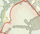
38. GrossDevelopable Area Deductions 65 S
ern l ink r oad a ncillary l and S
-w e ST F lood P lain S
TH o F S olar F arm P ublic o P en S Pace aT F ir T ree l ane q uobleig H S T ream To a lling Ton l ane
ou TH
ou TH
ou


66 n orTH o F S olar F arm T ollbrook c orridor
f) North of Solar Farm
5.11.6 This thin sliver of land is potentially developable. However, the constraints coupled with the shape of the parcel mean that the area would only ever accommodate a small amount of housing. Conversely, the area hosts a public right of way and is an attractive, peaceful location which is relatively well screened from the rest of the site. It has therefore been decided through the design process that this area will remain undeveloped.
g) Tollbrook Corridor
5.11.7 At the Eastern end of the Chalcroft Tolls, the corridor is very narrow – consisting just of the width of the track plus hedgerow on either side. As discussed under the heading ‘Ecology,’ it is desirable that the East-West green corridor represented by the Chalcroft Tolls be reinforced and extended.
5.11.8 Conversely, there is also a small ‘watercourse’ just North of this location which starts close to the settlement boundary of Horton Heath, running South and then West before joining the Tollbrook across the entire width of the site.
5.11.9 In practice, the ‘watercourse’ is simply a hand-dug land-drain installed by the previous landowner some years ago. In the intervening period this has been identified and categorised as a watercourse.
5.11.10 It was agreed by the Ecological Steering Group that the East-West link along the Chalcroft Tolls is more important and preferable to be reinforced; therefore, the constraint of the watercourse (including HRA buffers etc) is to be disregarded for the purposes of development planning but the nondevelopable area along the Tolls has been widened to create a new, much stronger green corridor along the desired East-West line.
5.12 Non-Elective Deductions
5.12.1 In addition to the above ‘elective’ deductions, the Gross Developable Area excludes any areas of land which are not developable by virtue of planning designations and buffers where development would generally be unacceptable within those designations or buffers.
5.12.2 For clarity, the Gross Developable Area does include all key infrastructure such as strategic SUDS, roads, bus infrastructure, and non-residential uses.
The Site 05 67
5.13 Gross Residential Area
5.13.1 This is the proportion of the Gross Developable Area which is expected to be primarily residential in nature.
5.13.2 Through the planning processes, the need for a number of non-residential uses have been established. The exact means through which these uses have been established are discussed in depth within the Planning Statement that supports the Outline Planning Application. In summary, the following non-residential uses are deducted from the Gross Developable Area:
• A mixed-use Local Centre
• A three-form entry Primary School
• Formal Sports Pitches
• Employment Uses
• The link road that passes through the site
05 The Site 68

39. Gross Residential Areas l ink r oad g ro SS r e S iden T ial a rea S g ro SS r e S iden T ial a rea S g ro SS r e S iden T ial a rea S l ink r oad 69

40. Net Developable Areas F ir T ree F arm l ocal c en T re P rimary S c H ool S P orTS P i Tc H e S e m P loymen T r e S iden T ial r e S iden T ial r e S iden T ial r e S iden T ial r e S iden T ial r e S iden T ial r e S iden T ial r e S iden T ial r e S iden T ial 70
5.14 Net Developable Area
5.14.1 The land that is therefore remaining is free from constraint, both physical and elective, is available for residential development. This methodology closely follows the definition set out within the Planning Policy Statement 3 (PPS3): Housing – Annex B: Definitions: -
• ‘Net dwelling density is calculated by including only those site areas which will be developed for housing and directly associated uses, including access roads within the site, private garden space, car parking areas, incidental open space and landscaping and children’s play areas, where these are provided.’
5.14.2 On a mixed-use site, it has to be recognised that development parcels will not necessarily contain housing as the sole built development.
5.14.3 The Net Developable Area therefore includes:
• Any built development proposed as part of the parcel (including retained existing buildings)
• Access/ estate roads serving the parcel (including footpaths and cycleways)
• Car parking which serves the parcel
• Private garden space/ private spaces
• Incidental Open Space and Landscaping
• In-parcel SUDS (i.e. permeable paving, soakaways etc)
• Specific uses complementary to the main uses of the parcel
5.14.4 It will not include:
• Any Formal or Informal Public Open Space (where that contributes to/ forms part of the Open Space strategy)
• Landscaped Areas
• Strategic SUDS (i.e. Basins, Attenuation ponds, Swales etc)
• Distributor roads
• Other built infrastructure (i.e. bus stops etc)
• Buffers and mitigation areas (for noise, ecology, landscaping etc)
• Other landscape or water features
5.14.5 The summary of this sequential approach to assessing the physical characteristics of the site are illustrated by the Land Availability Plan, shown below. This plan illustrates the areas of land which – in principle - are and are not available for development.
The Site 05 71
5.15 Physical Features Mapping
5.15.1 Alongside this plan is the Physical Features Plan. Note that we have been careful to avoid the phrase ‘constraints and opportunities,’ acknowledging that these are often one and the same thing. Although a physical feature of the site may constrain development in some way, that constraint at the same time presents the opportunity to respond positively to a characteristic with a bespoke and innovative design solution.
5.15.2 This plan, therefore, simply identifies the key physical features and their zones of influence. Alongside the Land Availability Plan, the Physical Features Plan adds an additional layer of detail by identifying all features including those within areas which, in principle, development is acceptable.
5.16 Approximate Development Quantum
5.16.1 This process provides high-level land areas which are available for development. Most importantly, it suggests a Gross Residential Developable Area of 69.14 Hectares. The Project Overview (Objective OR1) states that the Development should “achieve a minimum of 40 dwellings per gross developable hectare average across the site.”
5.16.2 As an initial guide to potential development quantum, it is possible to multiply the Gross Developable Area by a Density of 40 Dwellings.
• xx Gross Developable Hectares x 40 Dwellings Per Hectare = xx Dwellings Total Quantum
5.16.3 This figure needs to be treated with great caution. It is not in any way a target; instead, it is simply a useful guide – a numbers-based approach to development quantum in the absence of more detail.
5.16.4 Given the high-level approach taken thus far, it is also likely that this figure is an absolute maximum that could be accommodated on the site – the Gross and Net Areas are likely to reduce throughout subsequent processes as detailed designs show it is desirable to leave other parts of the site undeveloped, even though this may not be dictated by a fixed constraint.
5.16.5 Whilst the maths would therefore dictate that the site has capacity for 2765 dwellings a precautionary principle has been applied to recognise that there may be some areas on the site where 40dph may be voluntarily reduced to achieve the high quality environment which the Project Overview requires. It is therefore considered appropriate that the outline planning application seeks permission for ‘up to’ 2,500 dwellings.
05 The Site 72

41. Land Availability Plan 73


75 06 Infrastructure
“Infrastructure First is a key concept; it is the foundations upon which the environmental credibility, technological advances and key services of One Horton Heath are founded”
6.1 Infrastructure First
6.1.1 At this stage, the site and its intricacies are well understood – as is the planning, geographical and local context. The site has been rigorously mapped giving a precise account of the land that is, and is not, available for development - as well as the ways in which various site features should be treated.
6.1.2 The final building block needed to create a cogent and comprehensive Masterplan which unifies all these features is, therefore, Infrastructure and EBC’s commitment to Infrastructure First. As Local Authority, EBC recognises that all too often, Infrastructure is an afterthought within developments – planned, designed and delivered last. One Horton Heath poses an unrivalled opportunity to do things in a different order – the correct order.
6.1.3 Infrastructure First encapsulates the commitment to ensuring infrastructure is properly planned, appropriate to the needs of the development and local area, and is delivered as early as possible and, on that basis, is a matter which must be taken into account as part of the process of establishing a Masterplan.
6.1.4 Whilst Infrastructure is a very broad term which we use here to encompass just about any component of the development which is not ‘a building.’ The terms refers to all of the aspects which are ancillary to development of this scale. For ease, we break down ‘Infrastructure’ into broad categories:
Grey Infrastructure
6.1.5 The man-made engineering features which are essential to unlock and support a new major development, such as:
• Roads and footpaths
• Bus routes, bus stops, and other sustainable transport features
Blue Infrastructure
6.1.6 Infrastructure associated with surface water –drainage features, above and below ground:
• Drainage
• SUDs features
• Watercourses
Green Infrastructure
6.1.7 Natural infrastructure installed to support the development:
• Landscape planting
• Biodiversity enhancements
• Tree corridors and hedgerows
06 Infrastructure 76
6.1.8 When planned naturally, as is the case here, Infrastructure often bears a ‘chicken-and-egg’ relationship to the Masterplan. Infrastructure is needed to support the Masterplan, which needs to accommodate the Infrastructure, which must be sized appropriately to fit the Masterplan – and so on and on.
6.1.9 This section does not seek to capture the full journey which has resulted in the extensive and carefully-planned infrastructure that forms a critical part of this development proposal. Rather, this section should be read alongside the One Horton Heath Infrastructure Development Plan (IDP), a significant document in its own right which captures the background, context, decision-making process and proposals for all of the key infrastructure, as well as proposing means for delivering that infrastructure as early as possible.
6.1.10 What this section does is consider the infrastructure which is a necessary precursor to any consideration of the Masterplan. Already, preceding sections have made reference to certain aspects of infrastructure such as the Link Road. There are some infrastructure requirements that are so significant that they are material considerations in preparing a Masterplan and require land or other assets to be made available in their own right.
INFRASTRUCTURE FIRST
Infrastructure 06 g rey i n F ra ST ruc T ure g reen i n F ra ST ruc T ure b lue i n F ra ST ruc T ure
77

42. Infrastructure Considerations c H alcro FT b u S ine SS P ark H gv T ra FF ic H orTon H eaTH n ew l ink r oad a T a lling Ton l ane n ew l ink r oad a T b ubb l ane T o m 27 & S ou TH am PTon T o S ou TH am PTon T o m 3 & e a ST leig H T own T o m 3 & w inc H e ST er 78
6.2 A New North-South Route
6.2.1 A need has long been identified for better movement infrastructure into Eastleigh Town Centre from the South and East – not just for cars and motor vehicles, but for pedestrians and cyclists. In practice, this means either (a) significant improvements to the existing road corridor through Horton Heath, Fair Oak and Bishopstoke; (b) a new road (along with pedestrian/ cycle infrastructure) altogether which bypasses these existing corridors, or (c) a combination of both.
6.2.2 One Horton Heath rests squarely in the centre of this movement corridor, and fills-in much of the desire-line. It is therefore a longstanding expectation that this site will provide a new road which bypasses the existing roads and junctions through Horton Heath; the new road should be as direct and as efficient as constraints and land ownership allow.
6.3 HGV Routing
6.3.1 In addition to the requirement for a new NorthSouth route, there is a longstanding local issue associated with Chalcroft Distribution Park. Formerly a naval railway station, this site is now a small private industrial park which is home to multiple businesses. The distribution park generates extensive HGV traffic which, at present, uses existing roads which are not really fit for purposes. The North-South route provides an excellent opportunity to remove this issue altogether – by providing a route directly from Burnetts Lane, at the access to Chalcroft Distribution Park, straight onto Bubb Lane which is large distributor road leading directly into Hedge End and the M27.
6.3.2 The previous two planning consents for the site included detailed planning consent for three roundabouts, at Bubb Lane and Burnetts Lane (along with a small section of road connecting the two) and Allington Lane – collectively, the accesses into the site.
6.3.3 These roundabouts also mark the Northern and Southern extents of the North-South route through the site, as well as the whole of the section of road which would take traffic from Chalcroft Distribution Park.
6.3.4 Given the longstanding aspiration for the infrastructure which these elements represent; the immediate benefit that could be realised through delivery of the Bubb Lane/ Burnetts Lane link road in isolation; being satisfied with their capacity and having detailed planning permission, it was decided early in the process to treat these elements as fixed and to deliver them as permitted. Construction of those elements started in April 2020 and is due to complete in early 2021.
Infrastructure 06 79
6.4 Surface Water
6.4.1 Design of site drainage needs to respond, in part, to the Masterplan – to be informed by the location, scale and nature of development. However, it also needs to respond to the existing landscape and natural capital of the site. There are some key principles which must be considered first so that adequate provision can be made within the Masterplan to properly accommodate blue infrastructure.
6.4.2 Surface water drainage has a vital part to play in achieving the Project Brief as well as the more basic function of ensuring the site drains safely and appropriately without increasing flood risk. Drainage can also contribute to improved water quality, as well as providing opportunity for biodiversity enhancement.
6.4.3 Surface water drainage will follow a clear hierarchy which will ensure that all run-off passes through three forms of filtration; the use of naturalised filtration techniques will be preferred. This hierarchy is well demonstrated by the proposed SUDs management train diagram, which is described diagrammatically on the following pages.
6.4.4 Naturalised SUDs features will be carefully designed so as to be appropriately located – designed according to topography and to complement the site’s existing wildlife networks. Wherever possible, naturalised SUDs features such as basins and swales will be designed to contribute to good water quality and to biodiversity.
6.4.5 These important features will consist of a series of both wet and dry arrangements which, accompanied with appropriate planting, attract a variety of species. Seminatural drainage features, such as rain gardens, can also be used in more urban areas to contribute to achieving good quality and improving landscape networks.
6.5 Foul Drainage
6.5.1 Foul drainage is another critical consideration with a site of this scale. By virtue of the topography alone, it is evidently not possible to drain the entire site to a single location (i.e. a sewer connection) via gravity – some form of pump and rising main will be required. Further analysis of site levels demonstrates that, as a minimum, two pumps will be necessary.
6.5.2 Although at this stage in the project it is not necessary to design foul drainage in detail, accommodating these two pumps is critical. Foul drainage pumps built in accordance with “Sewers for Adoption” – along with any storage which may be required – are land-hungry features. Additionally, these installations have significant environmental health considerations to take into account including odour, noise and visual impact.
6.5.3 Therefore, it is vital that the Masterplan accommodates such infrastructure, from the outset, in a location that not only works in terms of topography but can also be separated from residences and amenity so as to avoid detrimental impact.
06 Infrastructure 80

81

SURFACE WATER RUN-OFF A. RESIDENTIAL ROOF RUN-OFF AT-SOURCE FILTRATION PIPE NETWORK EXISTING WATERCOURSE SEDIMENT FOREBAY MICRO-POOLS AQUATIC BENCHES/BIOFILTRATION FLOW CONTROL ATTENUATION & BIO-FILTRATION BASIN 01 02 03 04 Roof water run-off has a very low pollution hazard level and therefore does not require significant ‘at-source’ treatment 82
B. PARKING AREA RUN-OFF
Residential parking areas have a low pollution hazard level , and therefore benefit from modest ‘at-source’ treatment
Permeable paving will create a layer of vertical filtration, comprising a subsurface gravel matrix to filter, adsorb, biodegrade and capture sediment
C. PUBLIC ROAD RUN-OFF
Public roads areas have a medium pollution hazard level , and therefore greatly benefit from ‘at-source’ treatment
Roadside swales will create a layer of vertical and horizontal filtration as part of a site-wide conveyancing strategy
Sediment forebays provide retention for a portion of the first-flush stormwater run-off whilst dissipating the energy of incoming surges, and help to isolate sediment deposition
Micro-pools enhance attenuation capacity and improve filtration by helping to increase the pollutant removal pathway. They also enable a more practical maintenance strategy, and encourage greater biodiversity by offering more varied potential habitats

Aquatic benches are created along the edges and throughout the basins, to offer further opportunity and variety in biofiltration. Nitrogen-reducing native marginal and aquatic species will be included, as well as creating shallow wet/marshy grassland areas
Mechanical flow control measures will ensure that, once surface water has been treated and attenuated through the SUDS management train, it can be carefully released into the existing watercourses at a rate that matches the existing run-off profile. It will also be possible to control the flow of storm surges and actively prevent the current risk of downstream flooding
83

43. Infrastructure Considerations

85 07 Development
“The masterplan will ensure that all future applications will contribute to, and benefit from, a composite approach ensuring that maximum benefits are derived from the development”
7.1 The Masterplan
7.1.1 The Masterplan for the site does not seek to stifle creativity. Nor does it seek to stubbornly anchor the development to what is considered best practice in 2020 without room to grow in line with new technology or future needs.
7.1.2 In addition, there are key parameters to be set through the outline planning process – the maximums beyond which the development would be unlikely to be found unacceptable. Those key topics include Green Infrastructure and Open Space, Access and Movement, Land Use, and Building Heights. Each of these topics is supported by an extensive evidence base, culminating in a Parameter Plan for each. The Parameter Plans are another part of the framework which the Development – including this Design Code – must work within.
7.1.3 The Masterplan is underpinned by both the Land Availability Plan and evidence-based parameters that set various limitations and requirements that future reserved matters applications must work within. They in turn following the detailed understanding of the site, its constraints, opportunities, and therefore Land Availability as a whole. It is important to recognise that, in accordance with the outline planning application process, these are maximums and not targets.
7.1.4 Therefore, the parameter plans show the maximum possible and it is their role to show what could be achieved, not necessarily what should be built. They are highly technical documents which have regard for quantitative matters within which the qualitative aspects of all subsequent proposals should fit.
7.1.5 This section will therefore build upon Section 05: The Site and translate that evidence base into a spatial representation of the parameters for future detailed applications on the site:
• Access & Movement
• Green Infrastructure & Open Space
• Land Use
• Building Heights
07 Development 86
The Masterplan is conceived as a framework for future creativity

44. Strategic Areas 87
7.2 Access & Movement Parameters
7.2.1 Access and movement are fundamental components of any major development with a direct bearing on the Masterplan.
7.2.2 This importance is both internal and external. Internally, it is imperative that users are able to move efficiently around the site. Externally, it is important that users are able to move efficiently to key destinations, including larger transport hubs; and, that the site contributes towards thoroughfare linkages to make travel more efficient. Underpinning all of this is the critical topic of sustainable transport – the access and movement principles can contribute enormously to encouraging the uptake of sustainable forms of transport.
7.2.3 Given the aspiration set out within the Project Overview, all consideration of access and movement follows a hierarchy which emphasis and priorities more sustainable modes of transport:
• Cycling and Walking
• Public Transport – including Bus infrastructure and access to Rail networks
• Electric Vehicles and Electric Pool Vehicles
• Private Cars
7.2.4 Additionally, there is an additional layer to the Cycling and Walking infrastructure – with some infrastructure being focussed more towards leisure walking and cycling rather than commuter traffic. This infrastructure would generally be ‘softer’ and less formal, assuming more priority on enjoyment and less on travel times. Any infrastructure which is primarily for leisure purposes would be in addition to the key routes shown here and is considered in more depth under Landscape and Green Infrastructure.
7.2.5 Horton Heath is located close to the centre of a movement network that, taken to its fullest extent, extends across the south coast and beyond. The village benefits from extensive access to existing rail, bus, vehicular, bridleway, cycling, and walking facilities.
7.2.6 Whilst the submitted Transport Assessment supporting the application goes into far greater detail, it is clear that for the development to successfully integrate with and enhance these networks it must first appreciate their connections, key receptors and purpose and, secondly, propose high quality and accessible connections.
7.2.7 Taking the external connections first, there is a clear network of Public Rights of Way (PRoW) that cross the site extend beyond towards Eastleigh, Botley, Hedge End and Fair Oak. Whilst many of these are ‘broken’ links and are frequently not of sufficient quality to attract regular usage, they present a key opportunity for the site to deliver its sustainable movement aims.
7.2.8 The proximity to Southampton International Airport, Eastleigh Train Station and the M3 and M27 respectively offer connections to wider travel options and ensure the site is attractively located. There is also a more immediate network to consider which includes Hedge End Station, existing bus stops and cycle links.
7.2.9 Whilst pedestrians can access the PRoW network and a series of footpaths adjacent to carriageways cyclists are less well served with the exception of ‘commuter’ or confident cyclists who can use the highway network. The bridleway network is particularly poor around Horton Heath.
07 Development 88
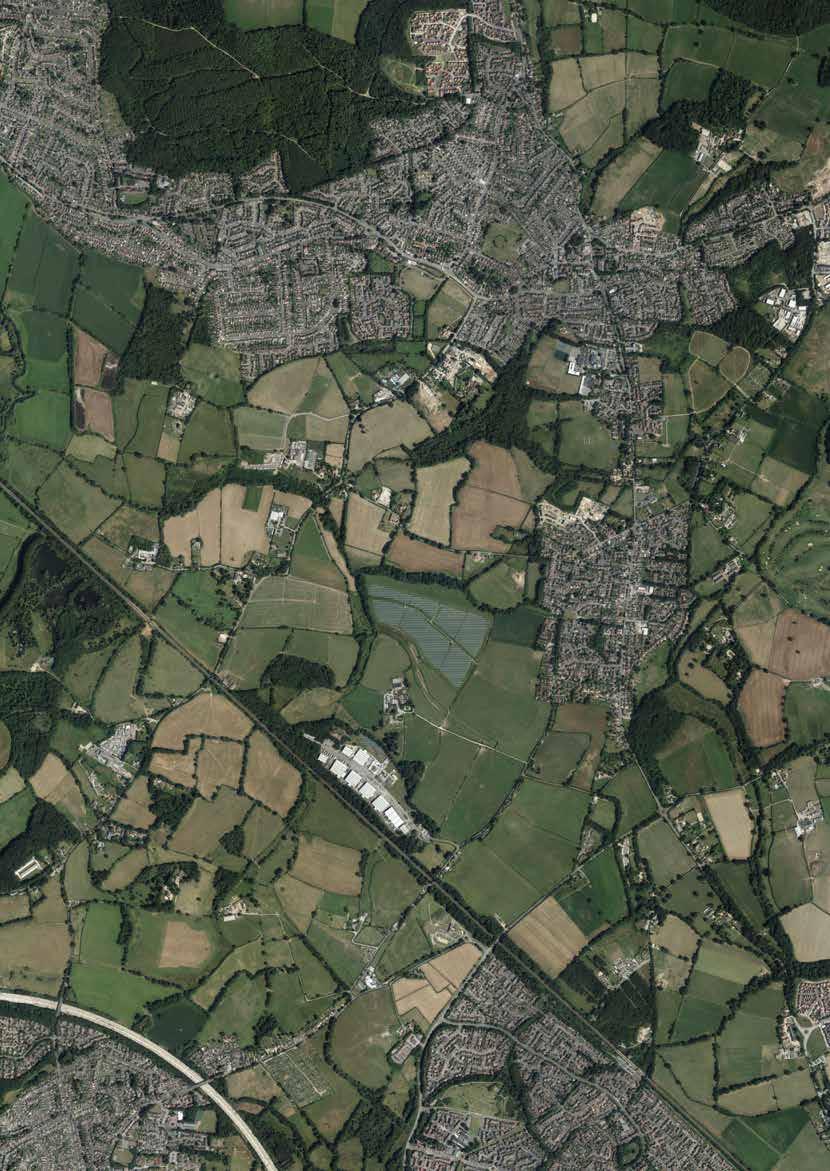
45. Connectivity Infrastructure Context 89 Connectivity Infrastructure Primary Road Secondary Road Railway Public Right of Way b o T ley r oad b o T ley r oad b ubb l ane b urne TTS l ane k nowle l ane a lling T on l ane a llan d ray T on w ay T o b i SH o PST oke T o w inc H e ST er T o H edge e nd
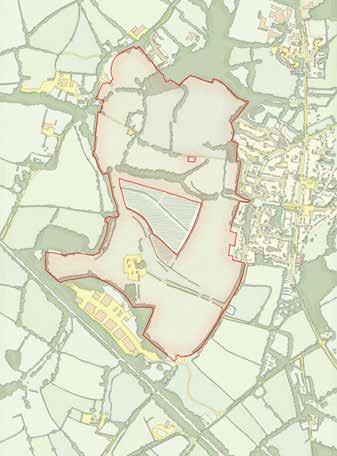


07 Development 46. Pedestrian Connectivity Concept 48. Bus Connectivity Concept 47. Cycle Connectivity Concept 49. Highways Connectivity Concept e xi ST ing l ink S r ein F orced e xi ST ing w e ST - e a ST l ink S r ein F orced P ro P o S ed ‘ in F ill ’ n orTH -S ou TH l ink S P ro P o S ed ‘ in F ill ’ b oundary l oo PS P ro P o S ed r ou T e c H alcro FT a venue c H alcro FT a venue S econdary r oad S P oT en T ial F u T ure l oo P 90
7.2.10 One Horton Heath offers the opportunity to be the ‘plaster of cohesion’ for the broken links that are present and reset behaviours to promote sustainable modes of transport.
7.2.11 A key network of pedestrian links are proposed across the site which strategically link into the wider network. The downgraded Fir Tree Lane will offer safe east-west access from the existing Horton Heath across to Fir tree Farmhouse whilst the downgraded Chalcroft Lane offers safe east-west access across the southern part of the site. The existing PRoW that runs north-south through the site connects these two points and integrates the Local Centre, formal sports provision and Primary School. Improving footpath 7 to the east of the Local centre offers a key link between existing Horton Heath and the proposed development.
7.2.12 Wider connections will be linked with no footpath simply ‘ending’. Access towards Hedge End Station is provided by footpath to the south-east with the same towards Eastleigh, via Allington Lane, to the south-west. Connections towards Fair Oak and Lapstone Playing Fields connect to the north-east.
7.2.13 Cycling is at the heart of the sustainable movement strategy and the development caters for cyclists of all abilities. Commuter or confident cyclists can pass through the site on a dedicated cycle link alongside Chalcroft Avenue. Confident recreational cyclists or those who simply value the journey over the destination can use dedicated cycle links adjacent to the secondary road network. For those true leisure cyclists, those less confident or younger cyclists can use segregated cycle links that do not run adjacent to arterial roads but pass through residential areas.
7.2.14
To support this approach key cycle links largely follow pedestrian permeability with links through the site and beyond to connect key receptors such as the Local Centre, the Primary School, Hedge End Station and Fair Oak and Eastleigh.
Development 07 91
7.2.15 A highway network that can accommodate buses to the key receptors on site is equally important to promote sustainable transport options and reduce dependency on the private motor vehicle. The development therefore prioritises a ‘bus hub’ in the Local Centre with key secondary stops at the employment area in the south and near (if not immediately at) Fir Tree Farmhouse in the north. This will be supported by other bus stops without the site as determined in dialogue with local bus operators.
7.2.16 The delivery of Chalcroft Avenue will alleviate congestion through Horton Heath and provide the necessary connectivity from north the south through the area. Traversing to the west of the Solar Farm the route runs adjacent to the Chalcroft Watercourse and takes a landscape led route through the site whilst minimising its exposure to adjacent residential development. The existing Solar Panels that will be displaced are accommodated to the south of the Solar Farm.
7.2.17 A key secondary highway network is proposed through the site to link Chalcroft Avenue with the Local Centre in a convenient manner but also one which, to not undermine the purpose of Chalcroft Avenue, will not encourage as expedient progress. The Secondary network of roads must not serve as an alternative to Chalcroft Avenue and allow ‘rat-running’ at peak travel times. Indicative access points are shown into the respective residential parcels and are all aligned to minimise the number of incursions necessary into the Green Infrastructure.
Site Boundary Other land in applicant’s control
Indicative Link Road alignment
Indicative Internal distributor road alignment
Existing PROW footpath
Existing PROW upgraded to Footpath & cycleway
Diverted PROW Road downgraded to foot & cycle path Road downgraded to footpath
Safeguarded route for Eastleigh to Hedge End cycle link
Vehicular, cycle & pedestrian site access
Cycle & pedestrian site access
Pedestrian site access
Area of built development
Extent of Land Use Area (see Land Use Parameter Plan)
*All features and areas shown to a tolerance of 10m
**Cross reference to PP05 Footpath and Cycleway
Access & Movement Parameters
07 Development
X 92
X
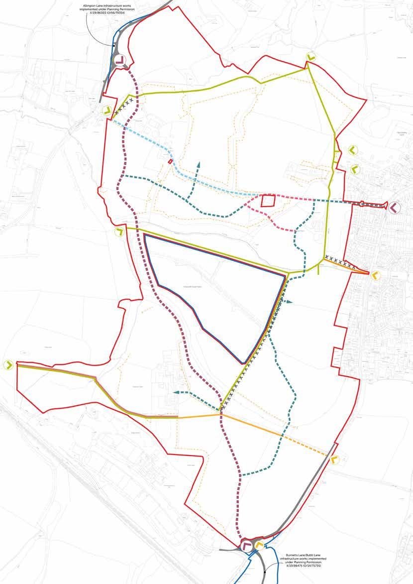
93
7.3 Green Infrastructure Parameters
7.3.1 As a landscape-led development, the role that natural capital plays on the site is of the upmost importance. ‘Green Infrastructure’ is intended to describe and capture all natural features on the site, such as hedges, woodland, watercourses and other planted corridors. The phrase is intended to show that the natural aspects are every bit as important as the more ‘traditional’ infrastructure of roads, bridges and other man-made features.
7.3.2 The Green Infrastructure Parameter Plan captures and secures a composite approach which celebrates the environment in the broadest meaning of the word. It is underpinned by a solid baseline of ecological understanding which in turn draws on several technical studies - a comprehensive Landscape and Visual Impact Assessment (LVIA); Tree and Hedgerow survey; and extensive ecological studies providing an excellent appreciation of the movement network.
7.3.3 As the preceding sections demonstrate, the landscape and natural environment has extensively shaped the existing site – more than any other factor, the existing green infrastructure on the site is a consistent feature which unifies and connects different parts of the site. It forms strong and important connections and travel corridors for wildlife from one part of the site to another and, as the Land Availability shows, it also creates a framework within which the development will sit.
7.3.4 The Green Infrastructure Parameter Plan very much responds to the existing natural features on site, which in turn are described in more detail in Section 5. As Section 5 concludes, it is imperative that these key corridors and linkages be preserved and reinforced wherever possible.
07 Development 94


Development 07
50. Existing Green Infrastructure
52. Green Infrastructure Concept
51. Existing Blue Infrastructure
P ro P o S ed e
P ro P o S ed e
a
P ro P o S ed S ud S F eaT ure S P ro P o S ed S ud S F eaT ure S P ro P o S ed S ud S F eaT ure S 95
53. Blue Infrastructure Concept
cology a rea
cology
rea
7.3.5 The Green Infrastructure Parameter Plan sets out where these key assets will be protected and where they will be enhanced. In the rare instances where interventions or crossings between the built infrastructure and green infrastructure are unaboidable, these are undertaken in the least sensitive locations and in the most sensitive manner possible.
7.3.6 Furthermore, whilst the approach seeks to retain and enhance the natural capital of the site it also has to be cognisant of how the development will benefit from and use the natural capital with regard to movement connections and junctions, opportunities to integrate high quality informal play, opportunities to promote healthy lifestyles and habits and how to balance exploration with the protection of biodiversity.
7.3.7 The Parameter Plan therefore includes the retention of all the existing areas of woodland in addition to the retention of almost all the tree belts and hedgerows. This approach is supplemented with the repair of a number of hedgerows which currently have their connectivity broken by gaps in their linear form.
7.3.8 Large areas are protected as ecological mitigation areas whilst informal Open Space is integrated alongside the existing green corridors to strengthen their identity, public access and use. Sustainable Urban Drainage Systems (SUDS) are integrated where the topography naturally allows and these complement the existing watercourses.
7.3.9 The green infrastructure also has regard to the constraint of Southampton International Airport insofar as the quantum of wetland proposed and the potential for increasing risk of bird strike. Accordingly, the proposed parameter plans provides adequate flexibility for the exact specification of wetland to be agreed at the reserved matters stage.
Green Infrastructure Parameters
07 Development Site Boundary Other land in applicant’s control Indicative Link Road position Indicative Internal distributor road position Area of built development Area reserved for potential relocation of solar panels Indicative location for SuDS features (basins & attentuation ponds Retained Water Feature Existing watercourses Allotment Area safeguarded for additional allotments Formal Sports Provision Informal Open Space Existing Woodland to be retained Existing trees to be retained Existing hedges to be retained New green corridor Destination Play Provision *All features and areas shown to a tolerance of 10m **To be read in conjunction with Access Parameter Plan for location of footpaths and cycle paths. 96
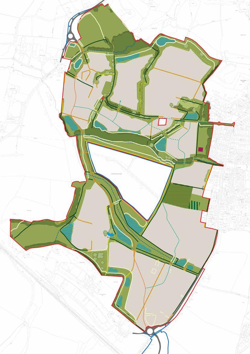
97
7.4 Land Use Parameters
7.4.1 The spatial distribution of land uses across the site are a product of many factors but, in this instance, primarily of the existing natural capital of the site and a cognisance of how people move through the site. The land use parameter plan therefore marks the first instance at which the use of the land is spatially represented - albeit at a macro level.
7.4.2 In principle, the key movement corridors across the site provide the opportunity for convenient and safe access that support the location of the proposed uses. Access and movement is therefore not, in any part of a site, a hindrance to any particular use.
7.4.3 The land use parameter plan therefore builds upon the green infrastructure parameter plan and secures all existing valuable habitat, in addition to other land that is considered appropriate to provide an enhancement, as Open Space. This provides a network across the site to support a multitude of uses including areas of play, drainage features, cycling and footpaths, retained vegetation and planted areas and ecological mitigation features.
7.4.4 A mixed-use local centre is proposed adjacent to Fir Tree Lane and the existing Horton Heath. This location is proposed as it is the approximate physical centre – both of One Horton Heath and the new conurbation represented by One Horton Heath and the existing village. It is therefore equidistant or as close as possible to all of the home as and residents that are likely to use its amenities. This is an important factor, both in encouraging and supporting updates of sustainable transport modes, and in supporting social cohesion within the ‘local area. As the exact composition of the Local Centre will not be known until the reserved matters stage a range of planning use classes are proposed to enable appropriate flexibility.
7.4.5 To complement sustainable movement, with regard to travel distances from one part of the site to another, to encourage shared trips and to facilitate the use of shared services such as parking provision, it is proposed that the Primary School is located adjacent to the Local Centre and specifically to its south. The 2.8ha land allocation is of an appropriate size and shape to support a best practice 3FE Primary School and associated facilities and its position to the south of the Local Centre also aligns it with easy access to Footpath 7 which connects to the existing Horton Heath.
7.4.6 Supporting the ‘central hub’ approach, it is proposed that formal sports provision is located to the immediate south of the Primary School which opens up the opportunity for some complimentary and, potentially, shared facilities. Whilst the Parameter Plans do not secure the exact nature of the sports provision – this being a detail for a subsequent Reserved Matters application – The Masterplan does assume that it will comprise a new 11 a side football pitch. This proposal is based on extensive consultation and understanding of the local needs for sports facilities. With this in mind the proposed location is appropriate as it facilitates the incorporation of mitigation measures that may be required for any lighting provision.
07 Development 98


Development 07
54. Net Developable Areas
55. Primary School
56. Market Square
99
57. Sports Pitches
7.4.7 To the immediate east of the Local centre is an area proposed for a Destination Play Facility. This is a key component of the open space and play strategy which increases the formality of play provision the closer one gets to the Local Centre. This location is considered appropriate as it forms part of an existing parcel of open space, which will be retained as such, and is located centrally with good potential for use by both existing and new residents in Horton Heath in addition to supporting shared trips to the Local Centre.
7.4.8 A similar rationale is utilised for the location of allotments to the immediate north of the local centre. The positioning of the allotments here not only makes an efficient use of the land available but also provides a synergy with the other facilities and services, including those for the benefit of the community, which are clustered at the heart of the site.
7.4.9 Fir Tree Farmhouse is a Grade II Listed Building that is a retained feature on the site and the setting of which is a key consideration. The historic curtilage of the Farmhouse, including the location of Victoria House to its south, is therefore identified as an employment use. This will facilitate the appropriate conversion of Fir Tree Farmhouse, retain a ‘working’ use appropriate to the heritage of the site and have a synergy with the proposed vehicular access arrangements. It will also provide a ‘northern’ hub as a focal point to support the development and acknowledge the presence of an original Farming hub operating from Fir Tree Farmhouse.
7.4.10 A mixed use is also proposed at Chalcroft Farm providing a balancing ‘southern’ hub as a focal point to support the development and acknowledge the presence of an original Farming hub operating from Chalcroft Farmhouse. The uses proposed will be complimentary to the historic narrative of this part of the site and the recreation of a farmyard setting.
7.4.11 These proposed uses around Fir Tree Farmhouse and Charlcroft Farm are intended to ensure that these areas are afforded the attention and flexibility which their special characters and constraints deserve.
07 Development 100

58. Land Use Concept P rimary S c H ool m arke T S quare S P orTS P i Tc H e S e
T a lloT men TS F ir T ree F arm c H alcro FT F arm 101
m P loymen
7.4.12 At the southernmost point of the site an employment area is proposed to form the western side of a southern gateway. The location of an employment use here will both align with the existing employment provision at Chalcroft Business Park and also, through a considered mixture of employment uses, will provide an appropriate transition between any acoustic output from Chalcroft Business Park and the proposed dwellings. Residential uses are proposed over commercial / employment buildings which front Chalcroft Avenue and adjacent land parcels. This may be one way in which buildings height and therefore acoustic protection for the rest of the site can be achieved. This will also strengthen and unify the road frontage along this parcel. Any residential uses, which would be to upper floors only must be carefully designed so as to be fully compatible with the uses planned for that part of the site
7.4.13 All of the remaining parts of the site will be residential or primarily residential. The foregoing sets an appropriate context and framework to ensure that residential uses are supported by all of the accompaniments necessary to full create a sustainable and cohesive development.
Land Use Parameters
07 Development 102
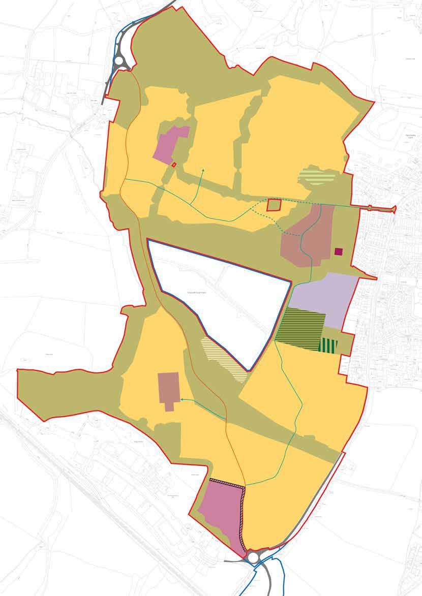
103
7.5 Building Height Parameters
7.5.1 The building heights secured by the parameter plans are a consideration when setting the spatial distribution of the land use plan. They are principally an additional level of detail on top of that plan, providing a refinement that is then secured by the planning system for future reserved matters applications to comply with.
7.5.2 As set out within the submitted Landscape and Visual Impact Assessment (LVIA), the application site has the capacity to accept a significant magnitude of change. This is largely driven by the site’s location on lower land which is enclosed to the south and north by higher land, to the west by the distant built form of Eastleigh and to the east by the existing Horton Heath. Closer to the site there are further variations in height - particularly to the south-east, between Bubb and Burnetts Lane, and to the northwest, to the north of Quobleigh Stream.
7.5.3 The result of the topography is that the Zone of Theoretical Visibility (ZTV) is relatively modest even when it is considered, as shown on the plan here, without the benefit of vegetation and built form being taken into account.

7.5.4 Once built form and vegetation is taken into account the view of the site and proposed development from wider vantage points becomes limited.
7.5.5 To the north, distant views (over 2km) are not possible due to the presence of existing vegetation and built form at Horton Heath and Fair Oak. Local views (between 500m and 2km) are largely obscured by Quobleigh Woods;
7.5.6 To the east distant views are obscured due to the undulating topography and the presence of existing built form at Horton Heath. Local views are limited to being from within the existing settlement of Horton Heath:
7.5.7 To the west, distant views are screened by mature trees along the River Itchen. Similarly, middle distant views are limited by Hearts Copse. Local views are restricted to footpaths immediately adjacent or within the site.
7.5.8 To the south, the heavily wooded hillsides prevent disant views towards the site. Mature planting corridors along the railway and business park screens intermediate visibility, with this also closing off most local views. Although the site is visible from Burnetts Lane, this view is limited any further by the topograpy towards Bubb Lane, as shown on the sketch below.
7.5.9 What is therefore clear is that the site has sufficient landscape capacity to accommodate the magnitude of change proposed by the development without adverse impact. When this is taken into account, as detailed within the LVIA, the proposal for a predominant maximum of 4-storey development would have an acceptable impact upon wider landscape character. Where appropriate, there are opportunities to go higher as needed to act as a wayfinder or create locally distinctive buildings.
07 Development
104
59. Sketch Section through Bubb Lane and Burnetts Lane showing ‘hidden’ setting of Southern Gateway
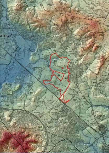
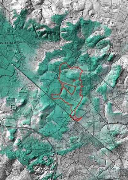
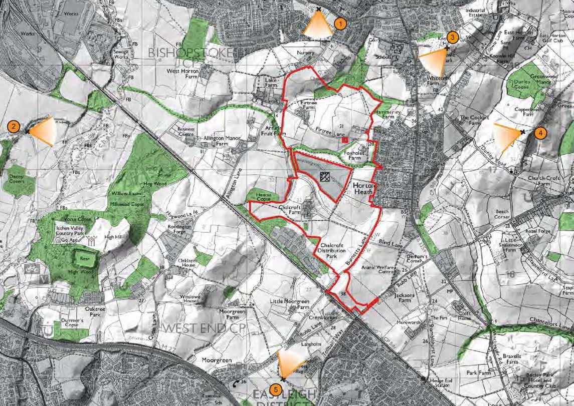
60. LVIA Viewpoint Key
61. LVIA Viewpoint Topography
105
62. LVIA Zones of Theoretical Visibility
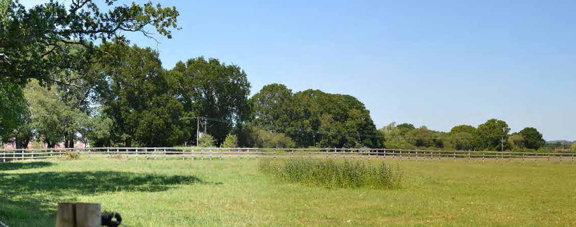
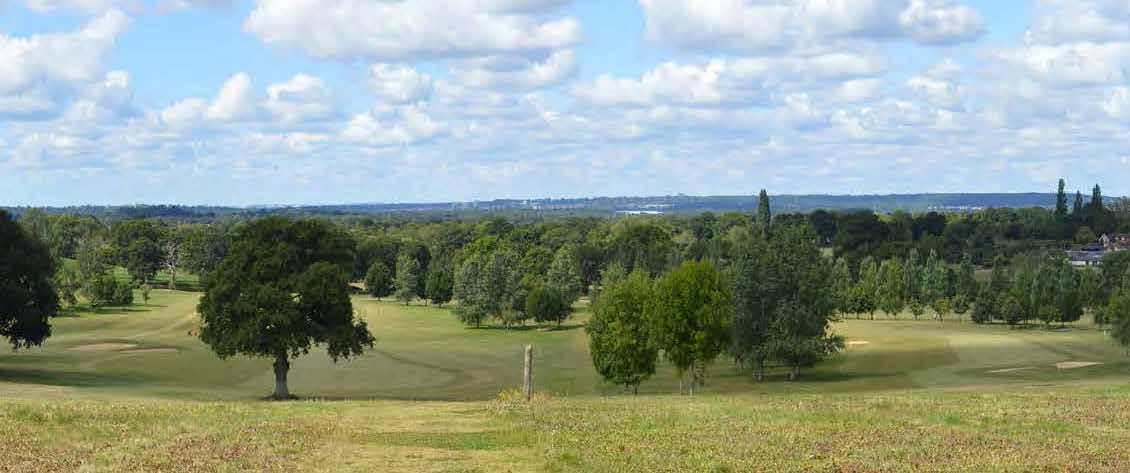
 63. LVIA Viewpoint 1 - View from Blackberry Drive Recreation Ground
64. LVIA Viewpoint 4 - View from PRoW 16 within East Horton Golf Club
106
65. LVIA Viewpoint 5 - View from PRoW Footpath W9
a PP roximaT e l ocaT ion o F S i T e
b e H ind T ree l ine
a PP roximaT e l ocaT ion o F S i T e b e H ind T ree l ine
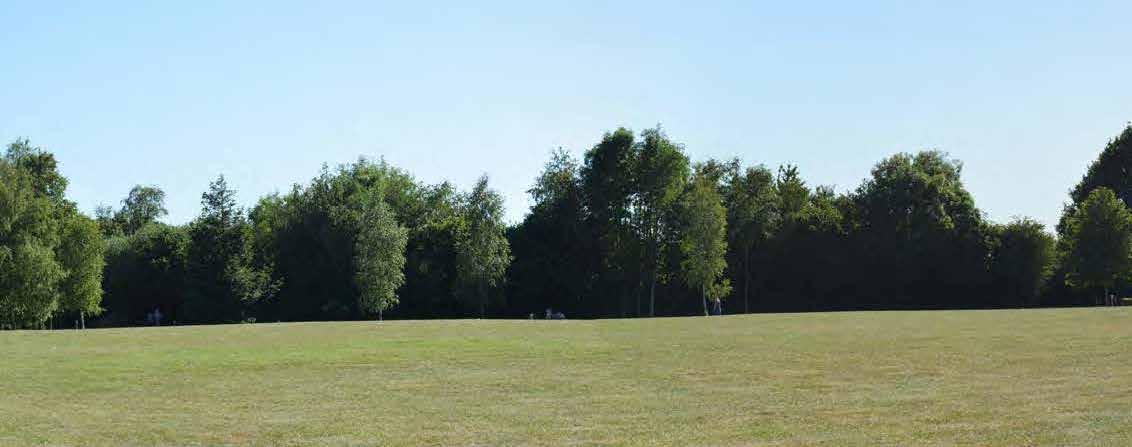
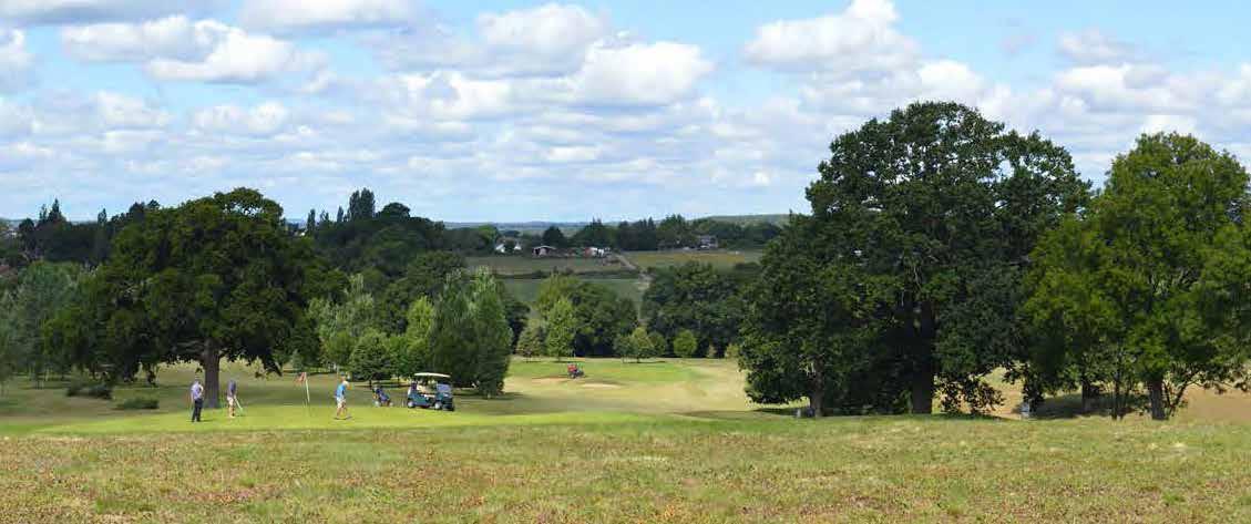
a PP roximaT e l ocaT ion o F S unnybank H ou S e c are H ome
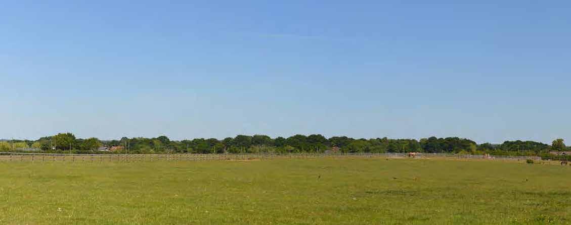
107
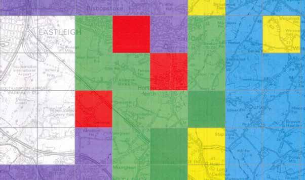
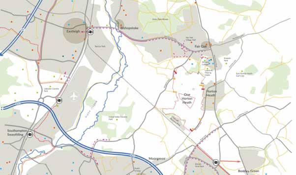
07 Development
66. Aerodrome Safeguarding Location Plan
108
67. Aerodrome Safeguarding Categorisation
7.5.10 Within this landscape context it is also important to note that the site is located approximately 3km to the east of Southampton International Airport. The safe operation of the Aerodrome is a material consideration for the parameters of the application. The Aerodrome have provided details of the heights beyond which they would potentially require the development to incorporate mitigation measures, as set out below
7.5.11 Following dialogue with the Aerodrome it has been concluded that the height of the development can exceed the threshold height levels to the extents proposed by the paratmeter plans and that any necessary safeguarding measures, such as warning lights and anti-bird nesting measures on tall buildings, can be addressed at the reserved matters stage.
7.5.12 The LVIA and Aerodrome constraints therefore clearly identify that there is capacity for up to 4-storey buildings across much of the site without having a significant impact upon either the landscape capacity of clear views. It is important to reiterate that it is very unlikely that any development proposed will come forward at the maximum that the parameters allow. Rather, the height parameter is simply showing that there are few parts of the site where a four-storey building would not be acceptable by virtue of LVIA or aerodrome safeguarding reasons
7.5.13 At the high level of details represented by an outline planning application it is appropriate that such matters be governed by principles rather than exhaustive detail. Within the context of that overarching principle there are a number of areas on the site that, due to local constraints and opportunities, represent ‘exceptions to the rule’ and these are clearly identified on plan. All of these matters will be considered case by case and in much greater details at Reserved Matter stages.
All Development
All Development - except the construction, extension or alteration of upto 3no. residential dwellings (not exceeding 2no. storeys in height)
All buildings, structures, erections and works exceeding 10m in height
All buildings, structures, erections and works exceeding 15m in height
All buildings, structures, erections and works exceeding 45m in height
All buildings, structures, erections and works exceeding 90m in height
7.5.14 The building heights reduce to the south and east of the grade II listed Fir Tree Farmhouse in particular response to the key setting of the Farmhouse which, as set out within the Heritage Statement, was to the south and east of the Farmhouse. Whilst the proposed heights are also reduced within the curtilage of Fir Tree Farmhouse it is not considered that the heights need to reduce elsewhere to the west or north as this did not form the original key setting for the Farmhouse.
Development 07 109
Aerodrome Safeguarding (Southampton)
7.5.15 The presence of a farmstead at Chalcroft Farm is noted by the Heritage Statement as being present since the Domesday Survey. It is therefore considered that the setting of a unique character within that part of the site is necessary and, as such, the proposed building heights need to protect the setting of future built form. It is therefore proposed that the building heights reduce to a maximum of 2.5 storey at Chalcroft Farm and within its immediate setting, particularly to its east and south-east which follows the access track and the delineation point of a hedgerow to the south of Tollbrook just before it reaches Chalcroft farm.
7.5.16 Burnetts Lane has been identified as a particular character area that the application must respect and reinforce. Accordingly, to ensure that the existing character of Burnetts Lane is not overpowered it is considered appropriate to restrict buildings heights along Burnetts Lane to 2.5 storey.
7.5.17 Both the proposed Local Centre and Primary School are located at one of the highest parts of the site and accordingly the capacity of the landscape to accommodate height in both locations is a clear consideration. It is therefore proposed, due to the need for the Primary School site to transition with the character of the existing dwellings on Angelica Gardens to the east, that the Primary School site is limited to a maximum of 3-storeys.
7.5.18 However, given that there is capacity within the landscape to accommodate a significant magnitude of change and the local centre is a wayfinding point as a local hub and ‘heart of the community’ its is proposed that the local centre has a maximum height of 4-storeys but, importantly, is identified as a location that could accommodate a landmark structure (up to 6 storey) to reinforce its role.
7.5.19 In other parts of the site where a landmark feature would be appropriate, it is proposed that a more sympathetic and innovative approach to wayfinding is taken. This is particularly relevant at the northern and southern gateways to the site where the parameters need to provide adequate capacity to accommodate an architecturally ‘strong’ and prominent entrance, albeit within the prescribed height parameters set here, ie. maximum 4 storeys at both northern and southern gateways.
Building Height Parameters
07 Development Site Boundary Other land in applicants control Up to 2.5 storeys. Max ridge height 9m (from existing ground levels +/- 2m) Up to 3 storeys. Max ridge height 12m (from existing ground levels +/- 2m) Up to 4 storeys Max ridge height 15m. (from existing ground levels +/2m) Extent of Land Use Area (see Land Use Parameter Plan) Existing ground levels Indicative Link road position Indicative Internal distributor position Existing Retained Building Up to 6 storeys Max ridge height 24m with maximum footprint 500sq.m (from existing ground levels +/- 2m) *All features and areas shown to a tolerance of 10m xx AOD 110
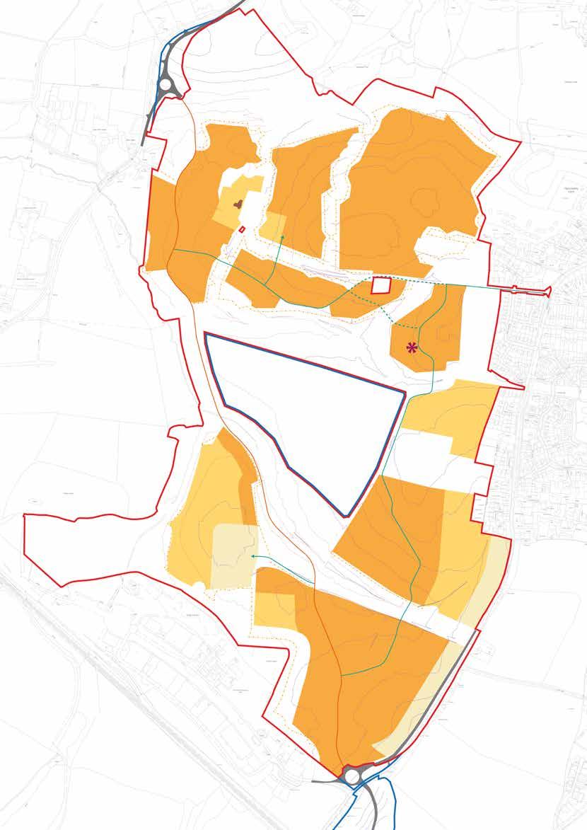
111
7.6 The Illustrative Masterplan
7.6.1 The Parameter Plans perform the key regulatory functions of the outline application, securing the constraints, opportunities spatial requirement and other components which are necessary. In addition to this a Concept Masterplan has been prepared to show the composite effect of all parameters and how these could be delivered.
7.6.2 Whilst much of the detail, such as for example the actual location of the Primary School within the area identified in the Land Use plan for the Primary School, is indicative so is subject to change what is clear is that the quantum of development
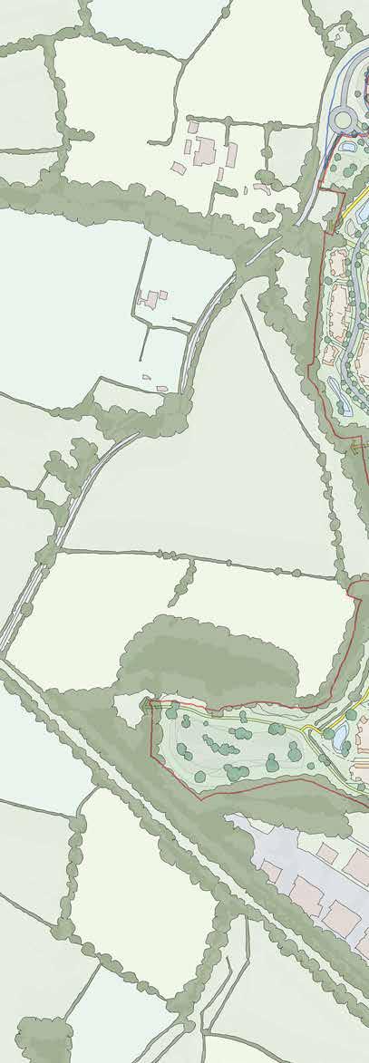
07 Development 68. Illustrative Masterplan Concept c H alcro F ir T ree F arm e m P loymen T H ub r e S iden T ial a rea S SH own coloured cream 112
The Illustrative Masterplan is one possible spatial representation of how the proposals could be built within the set parameters
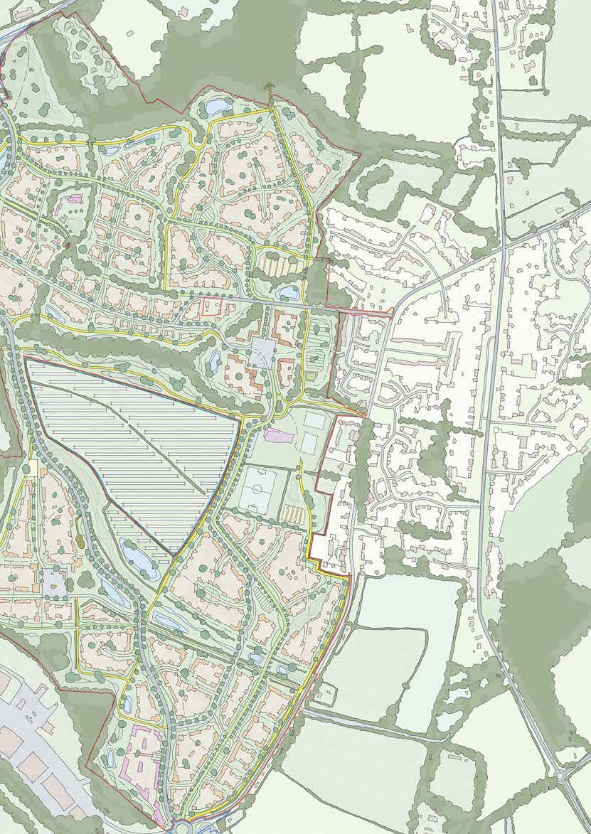
S P orTS P i Tc H e S
FT F arm e m P loymen T P rimary S c H ool
arke T S quare n ew l ink r oad 113
alcro
m


115 08 Making Places
“One Horton Heath is more than the sum of its parts. It is the attention to detail within each character area that will create great places to live and work”
8.1 Placemaking in Practice
8.1.1 This section, Making Places, marks a distinct change in the narrative of this document; it is the first juncture at which detailed character is considered.
8.1.2 The site and its context is understood and an appropriate balance has been struck through the proposed spatial distribution which enhances natural capital and accommodates much needed development. In short, this marks the beginning of the Design Code in the traditional meaning.
8.1.3 However, whilst a Design Code is rigidly defined by the National Planning Practice Guidance as “a set of illustrated design requirements that provide specific, detailed parameters for the physical development of a site” the benefits of a successful Design Code are being increasingly recognised.
The Character Areas
08 Making Places
Hampshire County The Region
Eastleigh Borough The Region
One Horton Heath The Site
Fir Tree & Chalcroft The Farms
116
The Design Code is part of a mechanism to inspire placemaking
8.2 A Well-Designed Place
8.2.1 In October 2019 the Government published the National Design Guide to guide practitioners in creating places that are “fit for purpose, durable, and bring delight” (pg3). By directly quoting the Roman architect and engineer Vitruvius the challenge has been set by the Government and the Design Guide accordingly follows by setting out a series of best practice principles highlighting ten core characteristics of a well-designed place – a challenge One Horton Heath will rise to.
8.2.2 Whilst the National Design Guide refers to a National Model Design Code this is still in development and has not been published. The recently issued White Paper, Planning for the Future, makes it clear that Design Codes play a critical role in delivering the high quality places that, to date, have put “not enough focus on design and little inventive for high quality new homes” (pg13).
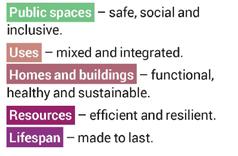
8.2.3 This Design Code will therefore encompass all of the ten core characteristics and apply them to One Horton Heath utilising the Design Code to function in accordance with the intention of the emerging National Model Design Code.
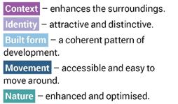
8.2.4 This section will therefore move away from a rigid ‘coding’ system which is over prescriptive and, rather, take an approach which requires future practitioners to exercise informed judgement and understanding. This will ensure that, rather than simply applying a standard methodology, each part of the site, its opportunities, challenges and quirks will receive the attention it deserves.
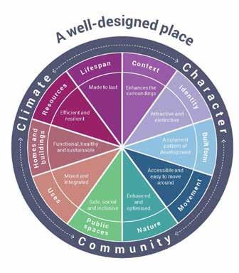
Making Places 08 117
8.3 A Hierarchy of Place
8.3.1 One Horton Heath benefits from a very broad regional landscape setting, which has generated strong local agricutural heritage and character. The character of each farm on the site then further enriches the heritage of the Masterplan. Although these create a strong series of character prompts, they are only a small part of the overall hierarchy of places which people experience.
8.3.2 A place can be as big as Hampshire, or as small as an individual room in a home.
8.3.3 As can be seen below in the aspirational ‘Family Tree of Placemaking’ there are many more layers in the hierarchy that exist as part of local architectural and urban design vernacular.
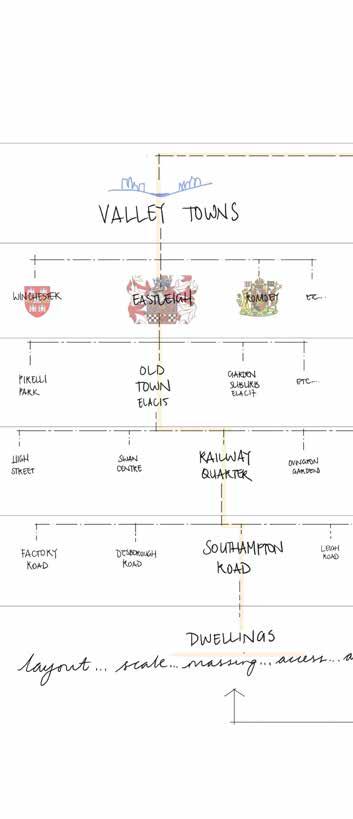
8.3.4 The constituent parts of an individual dwelling at One Horton Heath - internal layout, massing, materials, detailing - will all have commonalities with each other across the Masterplan. They will also, unavoidably, have commonalities with other similar places across the entire region as ‘distant cousins’; therefore, they must relate appropriately in their context. This means that, for example, the appropriate type of window must go into the appropriate type of dwelling in the appropriate type of street, and so on.
8.3.5 Although many modern developments attempt to deliver plot-level character, they typically fail to take appropriate cues from the wider settings, which can be described as ‘ancestors’ to any given home. It is this concept that not only allows but actively encourages thorough studies of local character as part of future detailed design process.
08 Making Places 118
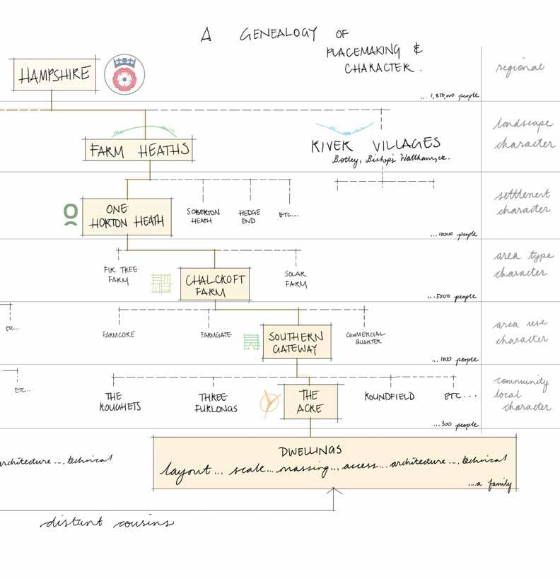
Making Places 08 119

69. Character Area Strategy 120 F ir T ree F arm H ub m arke T S quare F oxwood P rimary S c H ool S P orTS P i Tc H e S c H alcro FT o u TFarm w ork S T H e l ower a cre S olar F arm T H e u PP er a cre T H e H olme T H e F old S q uobleig H b reac H T H e H ome STal quobleigH STream F oxwood S T ream Tollbrook railway H earTS S Tream c H alcro FT F arm b urne TTS l ane b ubb l ane b o T ley r oad b o T ley r oad F ir T ree l ane a lling T on l ane a lling T on l ane c H alcro FT a venue c H alcro FT a venue c ycle g reenway c ycle g reenway
8.4 Making Places
8.4.1 As discussed previously, the entire masterplan has an overall ‘agricultural landscape’ character. This concept creates a narrative thread which unifies every part of the site. This means that there will be a range of commonalities in how each area can be designed and developed.
8.4.2 As established in the previous sections, every part of the site is entirely unique in its landscape context. In the Masterplan proposals, every part of the site also has a specific range of technical parameters and aspirational objectives which it must consider.
8.4.3 To encourage the consideration of ‘place’ as a cohesive objective, the following work deliberately avoids the conventional methodology of separating and streaming the various technical design criteria. It is vital that all design team disciplines work collaboratively towards the shared objective ‘placemaking’; this methodology is vital in achieving a cohesive sense of place.
8.4.4 Accordingly, the Masterplan can be arranged as a series of placemaking character areas. It is expected that each area will be able to maximise its placemaking potential in the future through a robust and collaborative design process.
8.4.5 Section 5 of this document clearly identified a definitive North-South split in the site which demarks a notable change in landscape, topography and hydrology and results in a distinct difference in ‘feel.’ This in turn relates closely to the site’s historic uses and three farmsteads which once dominated the land. We have chosen to continue and develop this theme throughout this Design Code – building on an existing local narrative, rather than seeking to start from scratch.
8.4.6 The Southern half of the site collectively relates to the Chalcroft Farmstead, with all of the new Character Areas now proposed and considered drawing their identity, at least in part, from Chalcroft Farm.
8.4.7 The Northern part of the site relates to Fir Tree Farm, with the surrounding Character Areas named in this context.
8.4.8 The diagram shown here, for clarity of reference, overlays the Character Areas on the Net Developable Areas described under Land Availability in Section 5: The Site. It is important to clarify that, although broadly synonymous, the Character Areas do not necessarily accord with the developable areas. This is a deliberate choice that reflects the definition of placemaking described previously: places are a sum of their whole setting, including movement corridors and landscape edges.
8.4.9 As such the boundaries are described by dashed lines, which indicates that the setting of any one area is not a defined threshold, but rather a gradient that must consciously relate to adjacent areas.
8.4.10 The following pages address each of the described Character Areas in the following context:
• Wider Masterplan
• Fixed Parameters
• Strategic Considerations
• Aspirational Narrative Prompts
• Illustrative Placemaking & Precedent
Making Places 08 121
8.5 The Lower Acre Introduction
8.5.1 The Lower Acre marks the Southernmost extent of development on the site. A roughly triangular-shaped parcel, the boundaries of this area consist of very strong, but very different features.
8.5.2 At the very South and along the West edge, the new Link Road and Burnetts Lane roundabout define the edge; to the East is the existing Burnetts Lane – a narrow lane fronted by a few dispersed cottages and delineated by a strong hedgerow at the site boundary. To the North lie the Chalcroft Tolls, a narrow farm track enclosed on both sides by mature hedgerow. North of the Tolls lies the Tollbrook, within a wide corridor which - as preceding sections identify – has been earmarked to remain undeveloped as part of a wider ecological and hydrological strategy.
8.5.3 The Lower Acre is a very important, prominent part of the site. It is the first area of the site to be perceived, from two perspectives:
• Southern Gateway – when approached from the South, The Lower Acre (along with the Outfarm Works adjacent) ‘frame’ the link road and are the first parts of One Horton Heath that will be seen when travelling along the new road between Bubb Lane and Burnetts Lane;

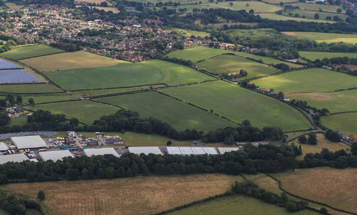
• First New Homes – this area will also be the first part of the site to be developed. Although this aspect is temporary, The Lower Acre will be the first area to be studied and designed in complete detail. It will therefore pave the way for much of what is to follow.
8.5.4 Given this pre-eminence, The Lower Acre and the Southern Gateway in particular are critical to the successful design and unification of One Horton Heath.
08 Making Places 70.
b urne TTS lane e xi ST ing v illage n ew r oundabou T c H alcro FT b u S ine SS a P ark 122
Aerial View of The Lower Acre
The name “Lower Acre” derives from a central green space proposed for inclusion within this parcel whose design intent is based upon a traditional acre of land – another nod to the distinctive and historic patterns of parliamentary inclosure that are ingrained upon the land.
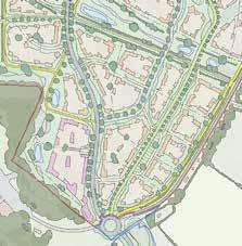

The Lower Acre
71. The Lower Acre in Context 123
Access Parameters
Access
Chalcroft Avenue bisects the centre of the parcel with an internal distributor road extending north-east towards The Upper Acre and Central Core. Chalcroft Tolls runs along the northern boundary and is downgraded to a foot and cycle path except for at its western end beyond where Chalcroft Avenue passes through it. Pedestrian and cycle access are indicated at the very south, adjacent to the roundabout on Burnetts Lane, and from the eastern end of Chalcroft Tolls. In addition, an existing PRoW bisects the north-western corner of the parcel.
Land Use Parameters
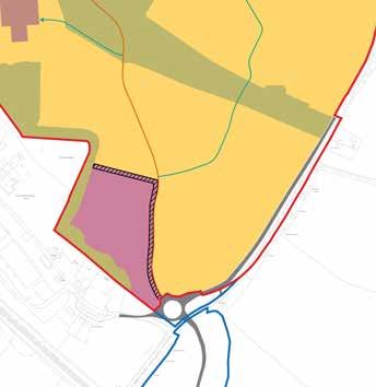
Land Use
Residential (C2 & C3) to include secondary and tertiary streets, cycle and footpaths, open space, areas of play and SUDS features.
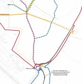
08 Making Places 124
Green Infrastructure Parameters
Green Infrastructure
The Tollbrook corridor is located along the northern extent of the parcel formed of existing hedgerow, flanking the access track (Chalcroft Tolls) and providing extensive informal open space – a natural brake between the lower and upper areas.
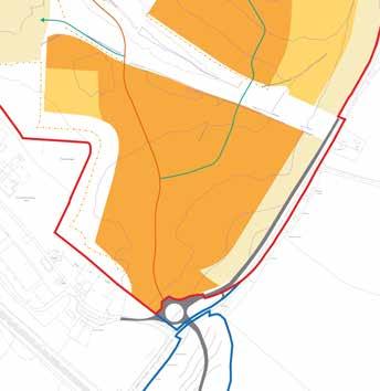
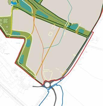
Building Height Parameters
Building Heights
Up to 4 storeys (max ridge height 15m with tolerance of 2m from existing ground levels) with the eastern edge of the parcel, adjacent to Burnetts Lane, being up to 2.5 storeys (max ridge height 9m with tolerance of 2m from existing ground levels) and the south-western section, adjacent to Round Copse, being up to 3 storeys (max ridge height 12m with tolerance of 2m from existing ground levels).
The Lower Acre
Making Places 08
125
72. Strategic Considerations
The Lower Acre Flexible Parameters
Indicative Character Area
Chalcroft Avenue
Secondary Road
Cycle Greenway
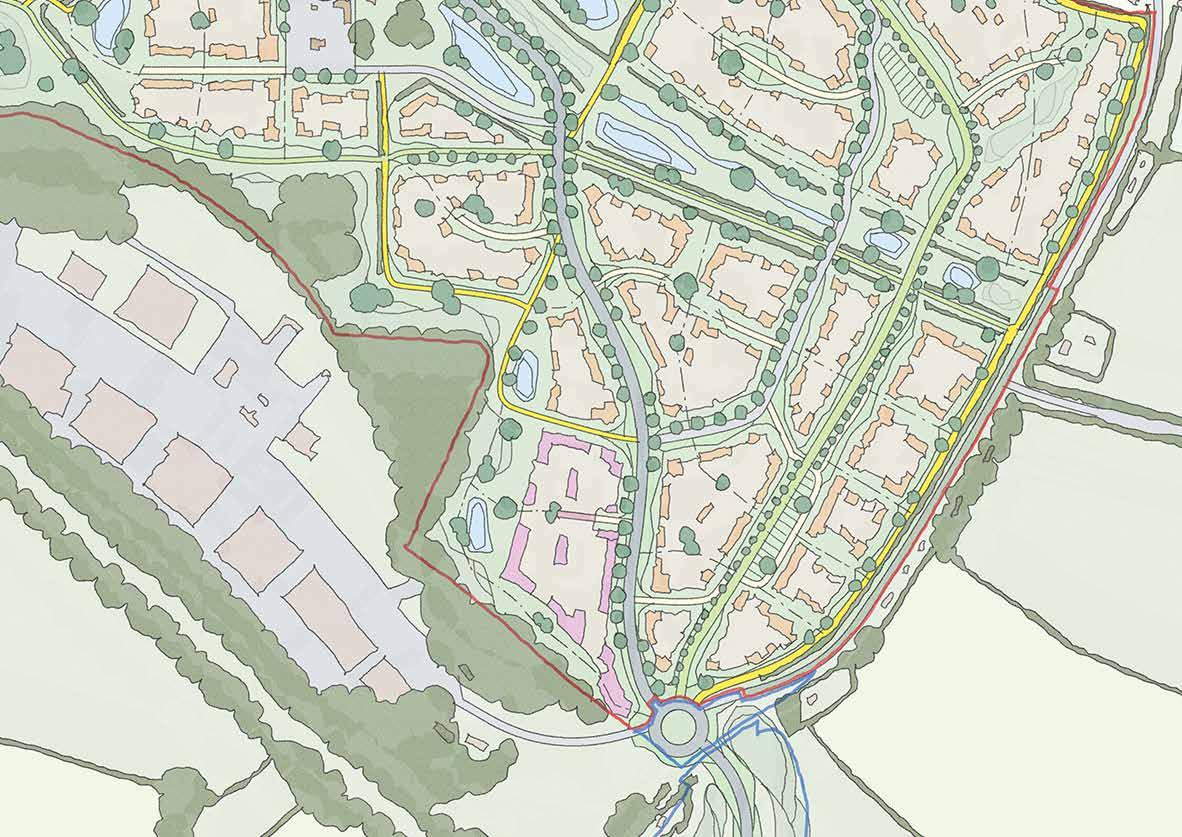
Footpath & Cycle
Existing Road (outside of site)
Existing Mature Trees
Existing Hedgerows
Open Space
Watercourse & SUDS
Key Edge
Primary Wayfinding
Secondary Wayfinding
The Lower Acre
126
Strategic Concept
8.5.5 The Lower Acre is a parcel that encompasses many sub-characters defined by its many edges.
8.5.6 At the entrance to the site, adjacent to Burnetts Lane roundabout, a prmary wayfinding feature will define the southern gateway to One Horton Heath. To the west of the this feature Chalcroft Avenue extends into the site and the way in which the built form addresses Chalcroft Avenue is identified as a key opportunity. To the east of this feature pedestrian and cycle access is indicated, to carry on the route from the Bubb/Burnetts link, and this also marks the beginning of the sensitive edge identified along Burnetts Lane. Whilst the sensitivity is partly due to the existing dwellings it is more with regard to respecting the rural character of Burnetts Lane.
8.5.7 Additional secondary wayfinding forms are proposed at key movement points within the parcel, often where there will be an experience of either entering or leaving, and these could be delivered by variations in the built form
8.5.8 To the north the presence of Chalcroft Tolls and the Tollbrook both provide an open expanse of space across which there will be key views, changing the context of the experience. This is exacerbated by the volume of movement along Chalcroft Tolls ensuring that this part of the parcel will be a key component of the public realm,
8.5.9 To the south-west of the parcel a sensitive edge is located, for ecological reasons, adjacent to the SINC and Ancient Woodland. The space created at this edge, as a buffer around those futures is also important to provide pedestrian and cycle connectivity which, moving north, provides a key linkage between the very south of the parcel and the movement corridor along Chalcroft Tolls.
8.5.10 To the north-west the parcel forms the wider context setting of Chalcroft Farm and the design must ensure an appropriate gateway to this point of character transition.
The Lower Acre
Making Places 08
127
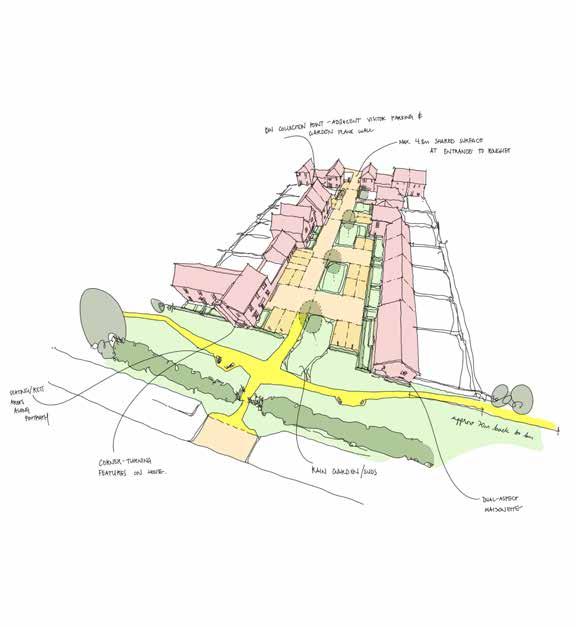
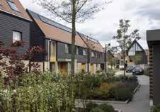
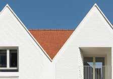
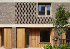

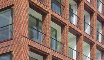
08 Making Places
128
73. ‘Roughet’ courtyard spaces sit perpendicular to Burnetts Lane to complement the existing character
The Lower Acre
Placemaking & Precedent
8.5.11 Strong perimeter blocks with courtyard spaces that mitigate the wide range of boundary considerations (employment to west, open space to north, existing dwellings to east, roundabout to south).
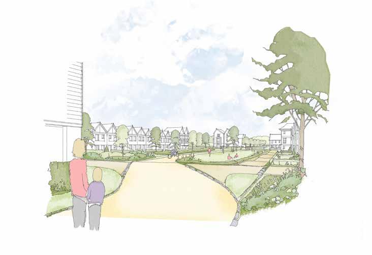
8.5.12 Scale of spaces is particularly dramatic, with long/oblique along north and south boundaries, and intimate/ephemeral views along Burnetts Lane and intra-parcel routes.
8.5.13 Overall, The Lower Acre is defined by the many routes which cross it - it is a parcel of gateways, corridors, and thresholds.
Making Places 08
129
74. An acre of public open space sits at the heart of The Lower Acre
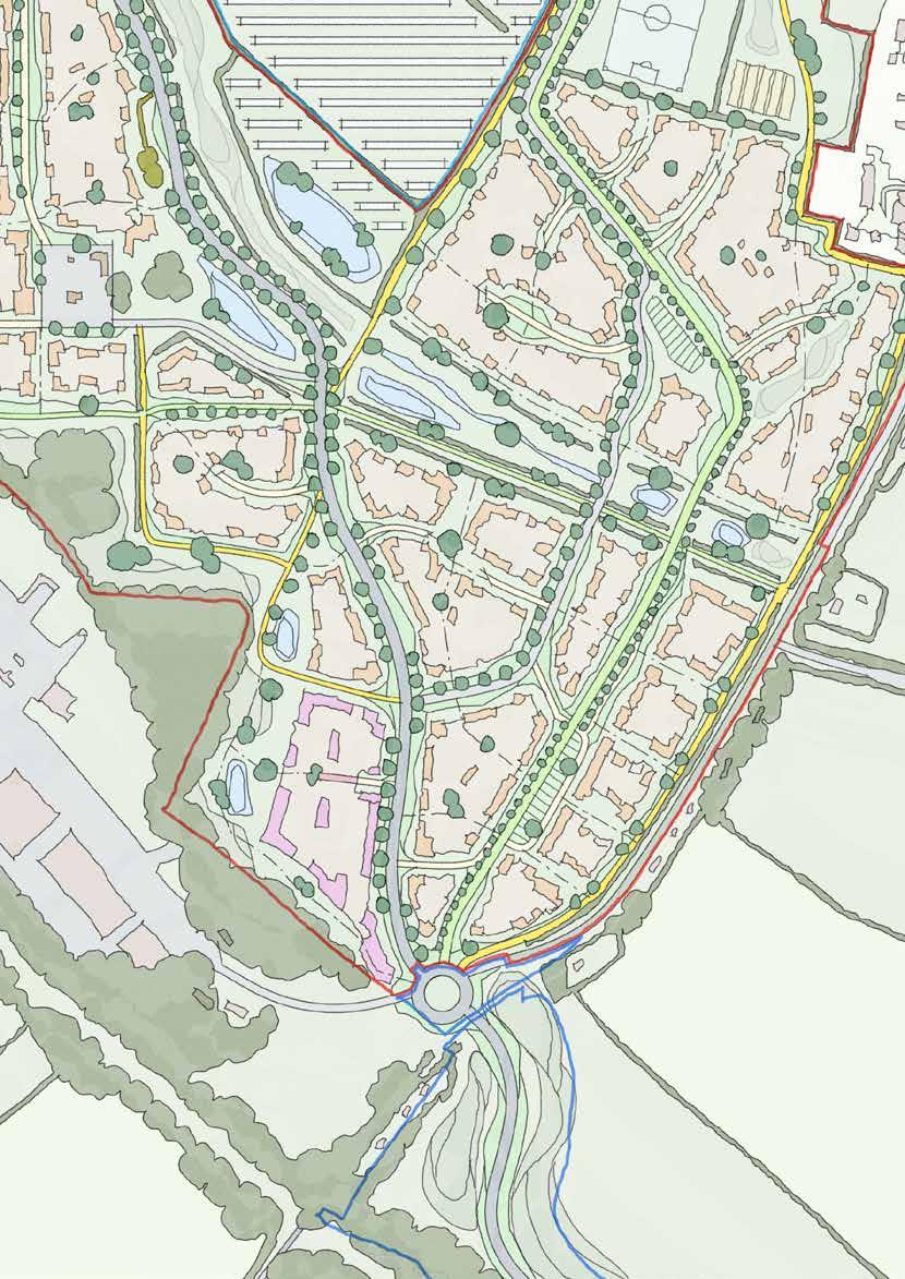
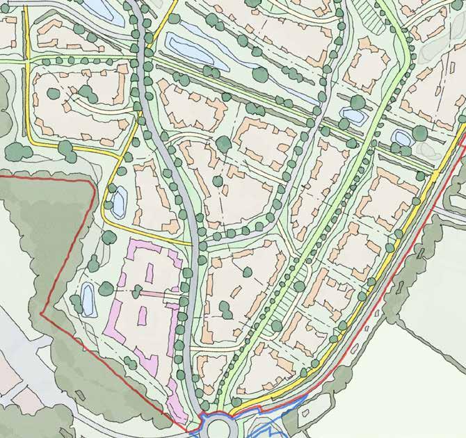
130
The Lower Acre
Sketch Concept Key Principles
8.5.14 The Lower Acre plays the part of Southern Gateway to the entire masterplan, and must respond positively to this placemaking opportunity
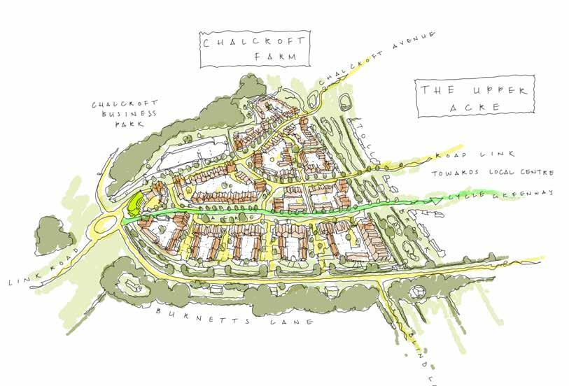
8.5.15 It must respond positively to its shared edge along Burnetts Lane
8.5.16 It must capitalise on the opportunity of the landscape character of the Tollbrook corridor to the north
8.5.17 It must engage actively with Chalcroft Avenue, which forms a linear character area in its own right
8.5.18 It must respond carefully to Chalcroft Outfarm Works to the west, recognising the potential conflict of uses
Making Places 08
131
8.6 Quobleigh Breach Introduction
8.6.1 Quobleigh Breach forms the north-western corner to the site and the Northern Gateway to One Horton Heath. It is a long linear parcel that runs from the new roundabout at Allington Lane in the north down towards Foxwood corridor in the south.
8.6.2 The northernmost extent - beyond Quobleigh Stream - is an area considered untouchable by development. This area, of significant size and ecological potential, has been set aside to contribute to enhancing biodiversity across the whole site, as well as to provide extensive and semi-rural open space.
8.6.3 As with all of the parcels in the north around Fir Tree Farm, it is entirely bounded by established tree belts; evidence of its medieval history as farmland ‘carved’ from ancient woodland.

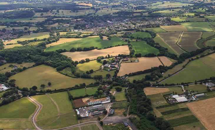
8.6.4 Unlike the other northern parcels, however, Quobleigh Breach is transversely divided by green infrastructure: Quobleigh Stream and Foxwood Stream define the northern and southern extents of developable area, with the historic alignment of the sunken Fir Tree Lane bisecting this further.
8.6.5 It is the relationship of Chalcroft Avenue with these elements of natural infrastructure that defines its unique character: where new infrastructure intersects with existing infrastructure, Quobleigh Breach becomes a series of ‘crossing nodes’.
8.6.6 Accordingly, a natural hierarchy of movement corridors and junctions begins to set a number of key challenges and opportunities in Quobleigh Breach that must be carefully considered.
08 Making Places n ew r oundabou T ( under con ST ruc T ion ) a lling Ton l ane q uobleig H w ood S F ir T ree F arm S olar F arm e xi ST ing v illage 132
75. Aerial View of Quobleigh Breach
Quobleigh Breach is within the wider historic character setting of Fir Tree Farm. Its name is derived from this history, where there is evidence that the farmland in the area results from the medival ‘assarting’ (clearance) of QuobleighWood.
‘Breach’, in this instance, has a dual reference: it is a term often associated with the fields created by this process, and refers provactively to the manner in which Chalcroft Avenue ‘breaches’ less sensitive field boundaries into the masterplan.

133 76. Quobleigh Breach in Context Qoubleigh Breach
Access Parameters
Access
Chalcroft Avenue broadly bisects the parcel with an internal distributor road splitting off and heading eastwards. Fir Tree Lane runs through the parcel and is downgraded to a foot and cycle path. Existing Public Rights of Way run west-east into the parcel at the northern and southern ends, adjacent to Quobleigh Woods and Foxwood Stream respectively.
Land Use Parameters
Land Use
Residential (C2 & C3) to include secondary and tertiary streets, cycle and footpaths, open space, areas of play and SUDS features.
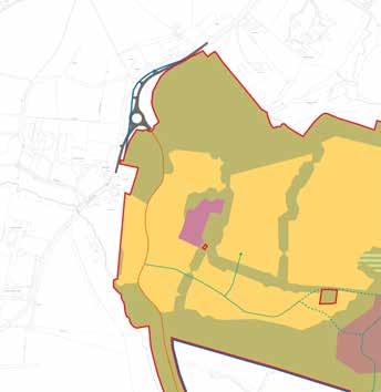
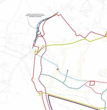
08 Making Places 134
Green Infrastructure Parameters
Green Infrastructure
An existing watercourse runs along the northern boundary, with informal open space beyond, whilst existing trees and hedgerow largely encompass the parcel. To the east, adjacent to Fir Tree Farmhouse, there is a tree belt.
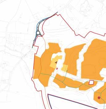
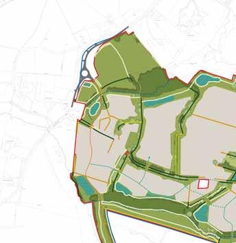
Building Height Parameters
Building Heights
Up to 4 storeys (max ridge height 15m with tolerance of 2m from existing ground levels).
Quobleigh Breach
Making Places 08
135
77. Strategic Considerations
Quobleigh Breach Flexible Parameters
Indicative Character Area
Chalcroft Avenue
Secondary Road
Cycle Greenway
Footpath & Cycle
Existing Road (outside of site)
Existing Mature Trees
Existing Hedgerows
Open Space
Watercourse & SUDS
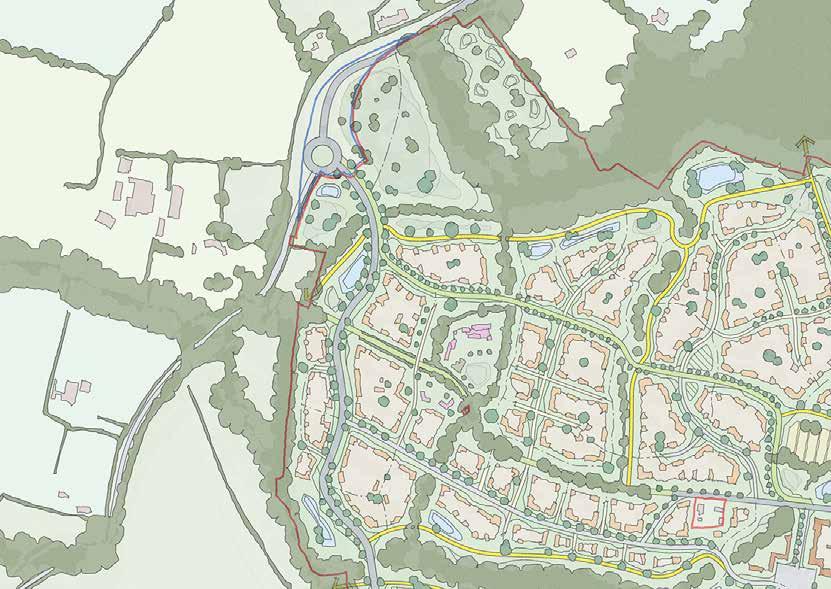
Key Edge
Primary Wayfinding
Secondary Wayfinding
Fir Tree Farmhouse
136
Strategic Concept
8.6.7 Design at Quobleigh Breach must respond to a number of competing characters that change significantly within a relatively short distance.
8.6.8 The northern entrance to the parcel, where Chalcroft Avenue must respect the ecological constraints of crossing the watercourse, presents an opportunity for a primary wayfinding feature which, in combination with an appropriate northern edge of built form will befit the importance of the eastwest footpath and cycleway that runs in front of it along the watercourse.
8.6.9 Moving southwards Chalcroft Avenue passes to the west of the grade II listed Fir Tree Farmhouse and built form between the two must respect the setting of the Farmhouse, albeit its most significant setting is to its east towards The Homestal.
8.6.10 Opportunities are presented for secondary wayfinding structures at a number of locations including where the east-west internal distributor road terminates at Chalcroft Avenue reinforcing the hierarchy of the two roads.
8.6.11 As with many parcels there are also sensitive edges with existing trees and hedgerows to integrate into the parcel and its movement network rather than turn its back upon.
8.6.12 At the southern boundary Chalcroft Avenue must sensitively leave the parcel and cross Foxwood Stream mindful of the topographical and ecological challenges.
Quobleigh Breach
Making Places 08
137
78. The northern gateway includes a primary wayfinding feature which, given the topography, will be read in the context of both its immediate setting and the wider site
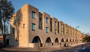

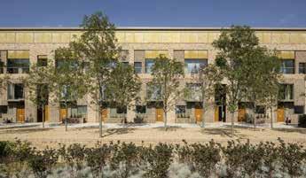
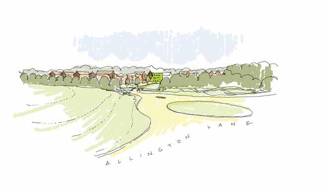
08 Making Places
138
Quobleigh Breach
Placemaking & Precedent
8.6.13 Quobleigh Breach is the northern gateway to One Horton Heath. Similar to The Lower Acre, it also contains a key junction on to Chalcroft Avenue that sends movement to the Central Core. Also like The Lower Acre, it also has an existing road (Fir Tree Lane) that is being downgraded to a green cycleway.
8.6.14 Unlike The Lower Acre, Quobleigh Breach has a much stronger and established sense of enclosure - the built form should respond to this as elements ‘within’ an existing perimter, rather than defining it.
8.6.15 Nevertheless, Chalcroft Avenue will require a robust edge that relates as much to the similar condition in The Lower Acre as it does to the rest of Quobleigh Breach. Even moreso than The Lower Acre, Quobleigh Breach is a parcel defined by movement and junctions

8.6.16 The hierarchy of placemaking response to these conditions must therefore be especially clear to assist wayfinding.
8.6.17 As the linear character of Chalcroft Avenue moves north-south, the sinuous character of Fir Tree Lane crosses Quobleigh Breach west-east. The node at which these meet is an important movement junction but also a junction of character that must be carefully designed.
Making Places 08
139
79. Chalcroft Avenue runs north-south through Quobleigh Breach and should be lined with strong frontages
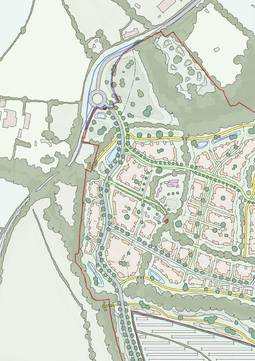
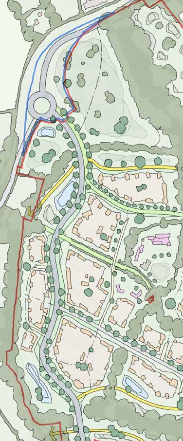
140
Quobleigh Breach
Sketch Concept Key Principles
8.6.18 Quobleigh Breach plays the part of Northern Gateway to the entire masterplan, and must respond positively to this placemaking opportunity
8.6.19 It must respond positively to the character of Fir Tree Lane
8.6.20 It must respond carefully to the proximity of Fir Tree Farm and its valuable heritage setting
8.6.21 It must capitalise on the opportunity of the landscape character of the Quobleigh Stream and Foxwood Stream corridors
8.6.22 It must engage actively with Chalcroft Avenue, which forms a linear character area in its own right
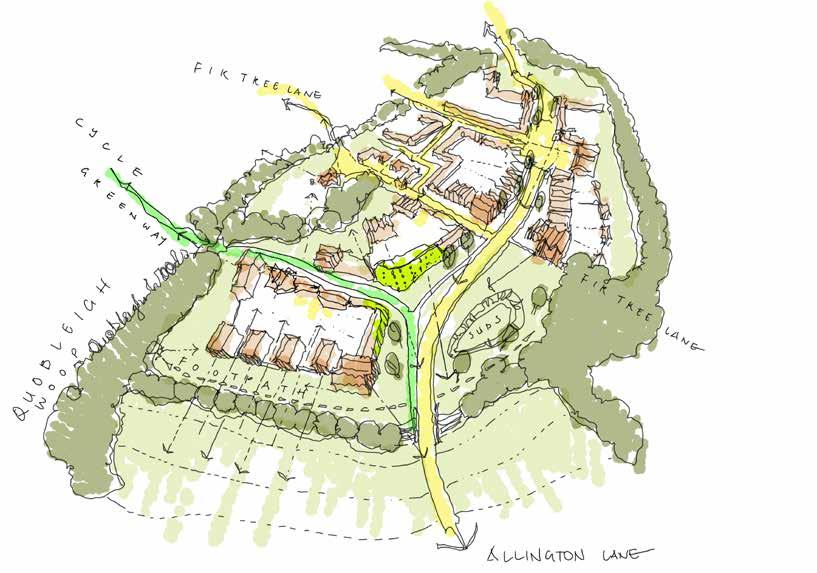
Making Places 08
141
8.7 Central Core
Introduction
8.7.1 In the Town and Country Planning sense, the Market Square is a Local Centre –a community destination containing key facilities and amenities, albeit pitched at a local level and scale.
8.7.2 More than that, the core is deliberately sited at one of the highest parts of the site and at the closest point to the physical centre – not just of One Horton Heath but also to the conurbation which the existing village and new development form ensuring almost equidistant access from the outer edges of the composite new and old Horton Heath.
8.7.3 This important physical attribute also translates into being a travel centre – as one would expect, this centre is the location of greatest accessibility, easy to approach on foot, bike, bus or car from any direction.
8.7.4 Again, the role the centre can play as a ‘movement hub’, to which all roads lead, is fundamental to the success of One Horton Heath and is an essential part of the movement strategy which underpins this Design Code.
8.7.5 This central hub straddles the median which bisects One Horton Heath into its two underlying characteristics – the Foxwood corridor, which represents the North-South split in Landscape typologies. It is the location where North meets South – it therefore has an essential unifying role to play in bringing together two complementary but very different characters.
8.7.6 Finally - most importantly – this area should be the centre of attention. As described, this hub contains the ingredients which can transform One Horton Heath from a residential estate into a thriving, successful and integrated community.

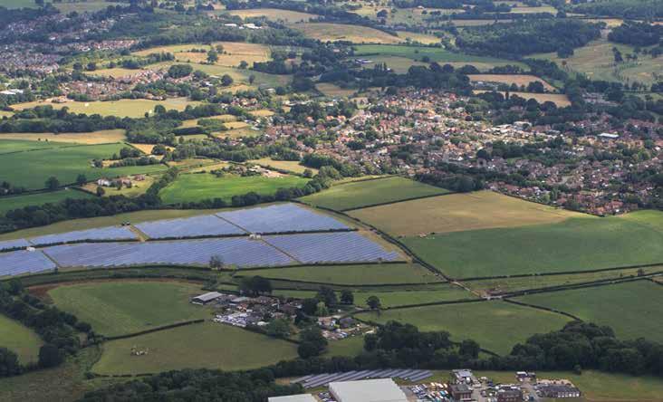
08 Making Places 142
S P orTS P i Tc H e S F oxwood P rimary S c H ool e xi ST ing v illage m arke T S quare
80. Aerial View of The Central Core
The Market Square, Foxwood Primary School and playing fields, and the Sports Fields are - collectively - the hub of One Horton Heathnone can be properly considered or designed without reference to the other. Together, this central core is best represented by the word ‘centre’ – a multi-faceted definition which is equally applicable in all of its interpretations.
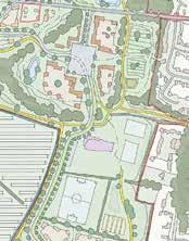

143 81. The Central Core in Context Central Core
Access Parameters
Access
Forming the junction of many movement networks the Central Core has two key accesses into it from outside the site boundary – a footpath and cycleway along the existing PRoW from Burnetts Lane (Footpath 7) in addition to vehicular, cycle and pedestrian access along the existing Fir Tree Lane. The internal distributor road therefore passes through the parcel on a south-north orientation terminating at the east-west internal distributor that runs along the existing Fir Tree Lane at this stage. An existing PRoW runs to the west of the southern section of the parcel before being joined from the west by another existing PRoW, crossing the parcel and running close to its eastern boundary extending northwards.
Land Use Parameters
Land Use
Northern section – Mixed Use (C2/ C3, E, F1, F2 & Sui Generis)
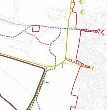
Eastern section – Formal Open Space including Destination Play Provision
Central Section – Primary School including sports pitches and outside fields (F1)
Southern section – Formal Sports Provision including parking and maintenance (F1)
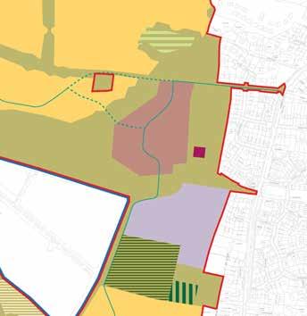
08 Making Places 144
Green Infrastructure Parameters
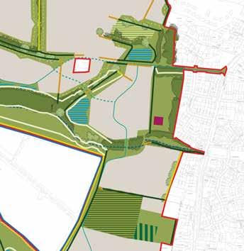
Green Infrastructure
he parcel is bisected by Foxwood stream that runs from the east, alongside Footpath 7, through the parcel exiting to the west. Adjacent to the stream is existing hedgerow and trees. To the south-western edge of the parcel there is an existing hedgerow which, after following Foxwood Stream west, also forms the north-western edge of the parcel (in addition to incorporating a number of trees). A hedgerow is also located in the middle of the northern section forming a boundary to the western side of the informal open space.
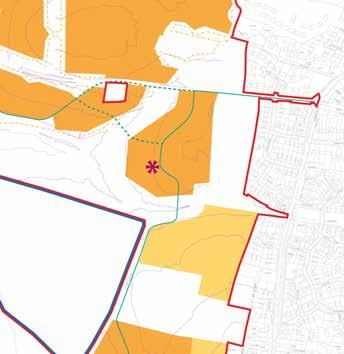
Building Height Parameters
Building Heights
Northern Section - Up to 4 storeys (max ridge height 15m with tolerance of 2m from existing ground levels) with a landmark/wayfinding element up to 6 storeys (max ridge height 24m)
Central Section - Up to 3 storeys (max ridge height 12m with tolerance of 2m from existing ground levels).
Central Core
Making Places 08
145
82. Strategic Considerations
Central Core Flexible Parameters
Indicative Character Area
Chalcroft Avenue
Secondary Road
Footpath & Cycle
Existing Road (outside of site)
Existing Mature Trees
Destination Play
Allotments
Existing Hedgerows
Open Space
Watercourse & SUDS
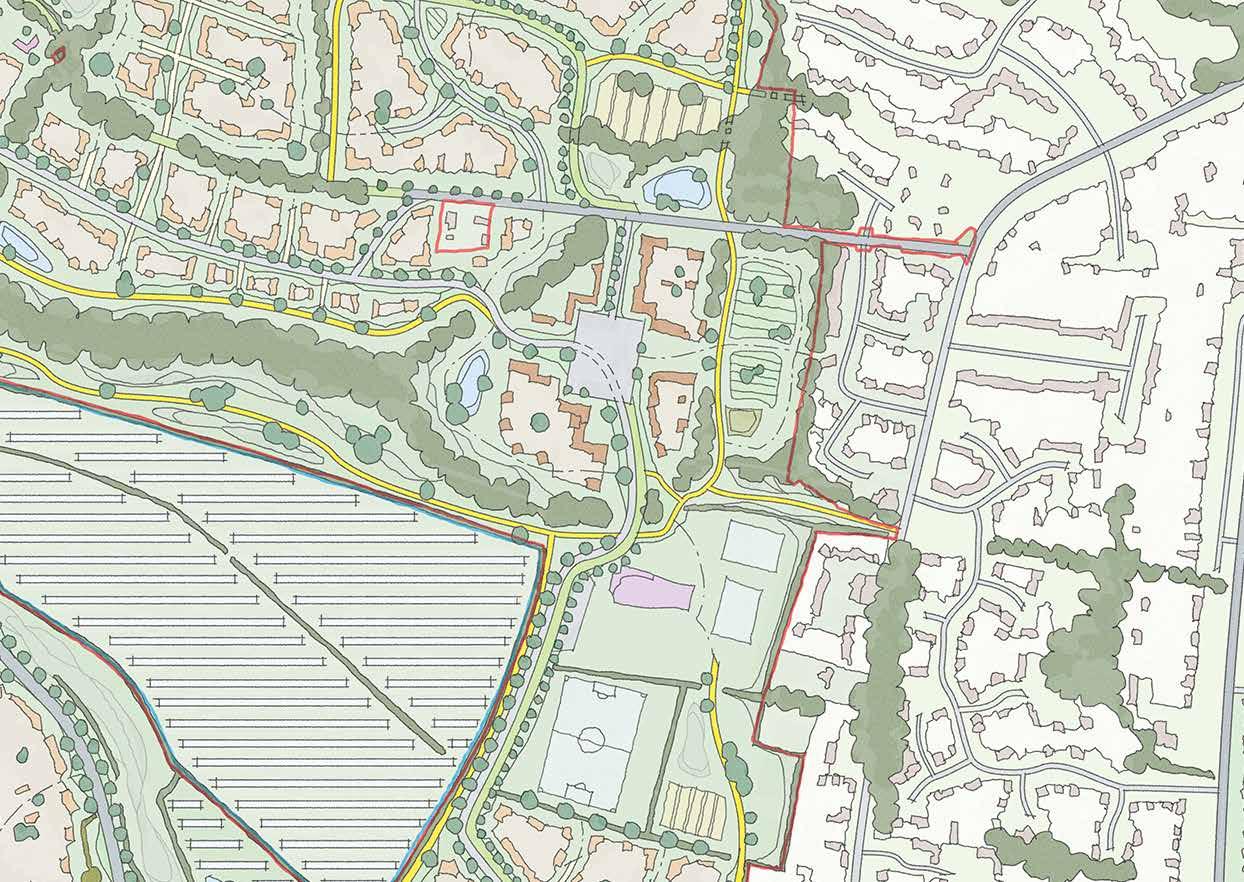
Key Edge
Landmark Feature
Secondary Wayfinding
Sports Pitch
Bus Interchange
146
Strategic Concept
8.7.7 The Central Core is the heart of the development but is also one of the parcels with the most edges.
8.7.8 To fulfil this brief the design must focus on its wayfinding function by incorporating a landmark feature to aid legibility across the wider site clearly marking the centre.
8.7.9 This is supported by five secondary wayfinding features located at the perimeter of the built form including one on the site of the Primary School. Key pedestrian and vehicular linkages are shown with a key interchange being where Footpath 7 enters the area from the east and meets those moving between the local centre, Primary School and formal sports pitches.
8.7.10 Furthermore, clearly legible pedestrian and cycle links that permeate out from the Central Core towards varying parts of the site are identified.
Making Places 08
147
Central Core
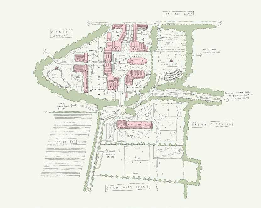
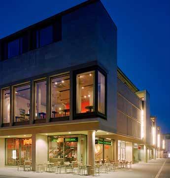
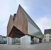
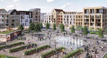
83. Central Core Overview 148
Central Core
Placemaking & Precedent
8.7.11 The Central Core is one of the key civic spaces at One Horton Heath.
8.7.12 The largest open spaces in the wider masterplan are all retained green landscape, or proposed new public realm with clear amenity functions. Conversely, the Market Square will be a large urban space that must accommodate a wide variety of public uses.
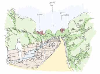
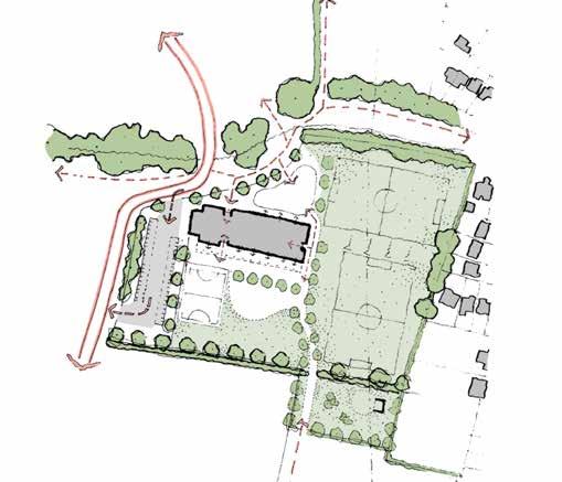
8.7.13 As in every other area of the site, ‘enclosure’ is a key concept - whether that is existing enhanced or new intervention.
8.7.14 The Central Core is the focal hub for every type of movement on the site: pedestrian, cycle, public transport, private car. The way these different modes are streamed together and interchange is a key urban design challenge.
Making Places 08
85. Foxwood Primary School Sketch Overview
149
84. A Public Right of Way connects the existing vilage to the Central Core
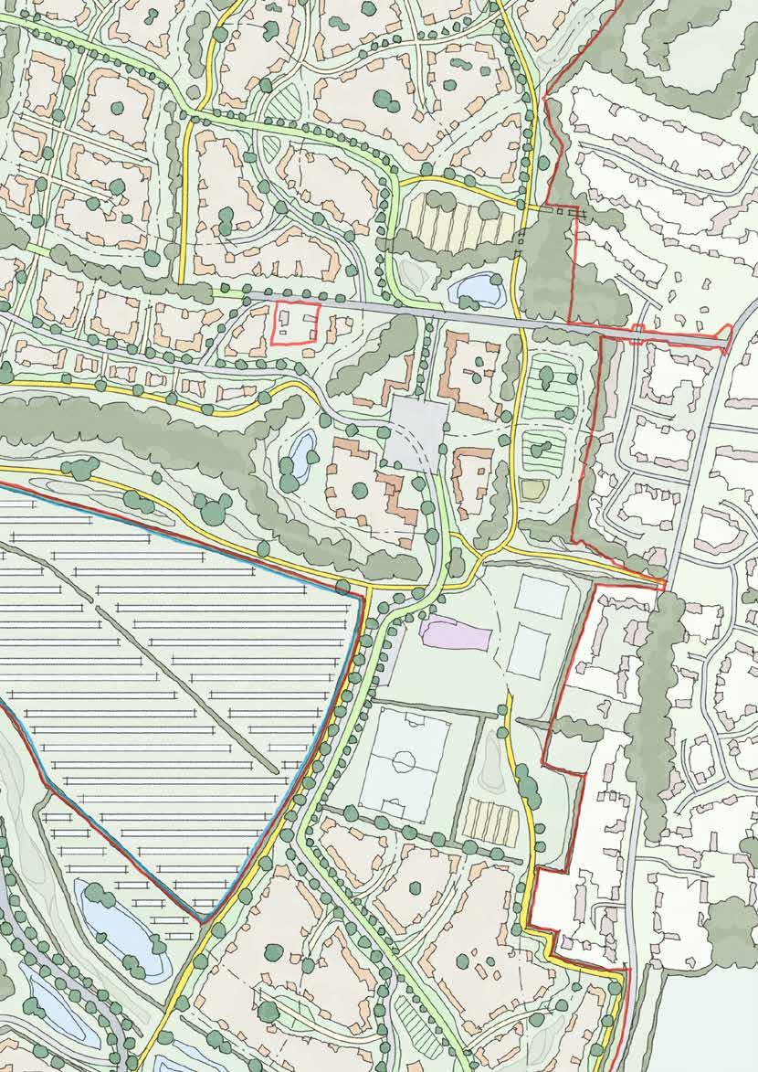
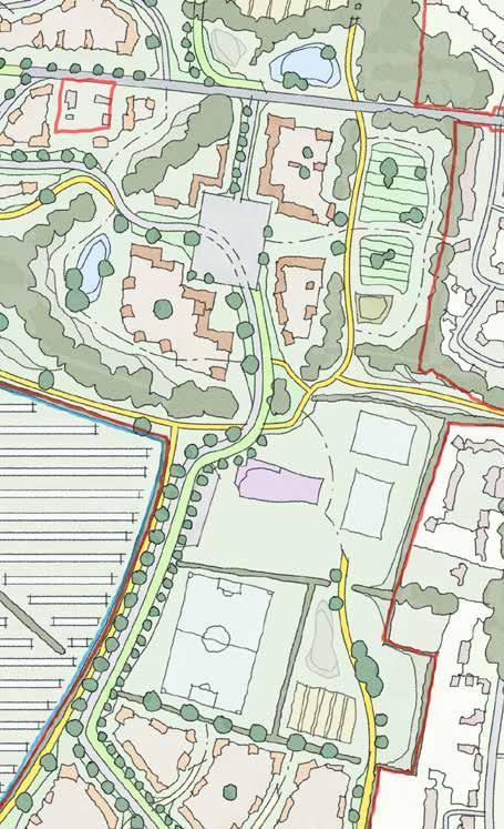
150
Central Core
Sketch Concept Key Principles
8.7.15 The Central Core must be carefully designed to recognise its role at the junction of multiple corridors of movement through the site
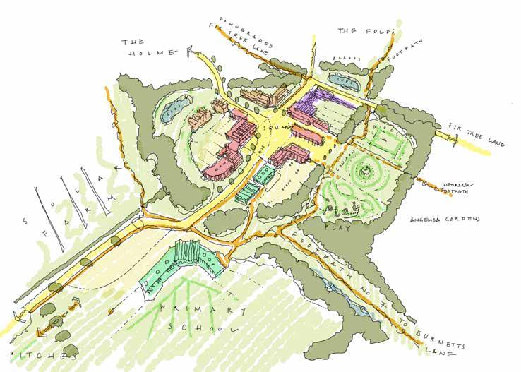
8.7.16 It must carefully plan for a positive relationship with the Primary School, Sports Pitches, Formal Play, and Allotments
8.7.17 The specific mix of uses will need to be carefully assessed to ensure that specific local needs are identified and met
8.7.18 The mix and configuration of specialist accommodation (eg. sheltered, care home, etc) needs to be carefully considered
Making Places 08
151
Introduction
8.8.1 Chalcroft Farm is split into two parts: a large development parcel radiating North and West from the central farm; and the farm yard itself. Chalcroft Farm Yard contains a collection of buildings, trees and pond in a characterful arrangement around a sprawling central yard.

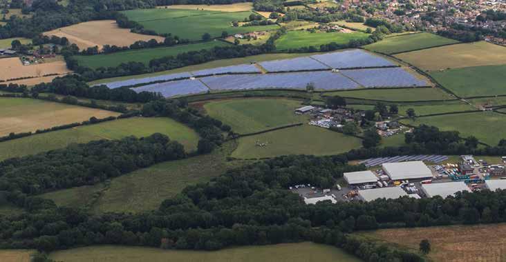
8.8.2 Although each individual feature has its own interest, it is the sum of the parts that make this part of the site special – together, they paint a portrait of a quintessential Hampshire farm. More than that, they reveal the growth, change and adaptation of a successful farm over many centuries. It is this setting, this character, that is truly important.
8.8.3 At this stage, most of the buildings are severely dilapidated. The farm yard character is therefore unlikely to rely on complete original buildings. However, within almost every building there are still interesting and attractive components which are capable and worthy of reclamation. These range from stone floor slabs and brickwork to timberwork.
8.8.4 The Farm yard will therefore become the focal point for this area, and hinges upon two essential features:
• Firstly, respectful recreation of the historic yard, including buildings of appropriate scale, style, architecture and location – as well as careful attention to the existing landscape features around which the buildings are sited – the pond and trees.
• Secondly, incorporation of original materials carefully salvaged from existing buildings into the new – materials which reflect and demonstrate the site’s history.
8.8.5 The wider development area must then respond to the Yard. The farm yard is located at the peak of a small, almost circular rise. As a result, it enjoys prominence, with very long views in all directions but South-West.
8.8.6 The remainder of the character area falls away from the yard and will also draw its character from there, becoming subservient in every sense. It is expect that this parcel will have a special character, potentially culminating in lower densities than other parts of the site.
08 Making Places
86. Aerial View of Chalcroft Farm
152
c H alcro FT F arm
8.8 Chalcroft Farm
Demonstrative of its importance, Chalcroft Farm is one of only two character areas on the site that have not been named by the development. Rather, like Fir Tree Farm in the north, it has lent its name, in many guises, to the southern ranges of the site.
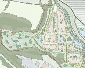

153 87. Chalcroft Farm in Context
Chalcroft Farm
Access Parameters
Access
An internal distributor road extends from the east into the centre of the farmstead whilst Chalcroft Avenue skirts the eastern edge of the parcel. An existing PRoW, alongside the safeguarded route for the Eastleigh to Hedge End cycle link, runs along the southern boundary of the site before extending off to the west towards the edge of the site and Allington Lane beyond.
Land Use Parameters
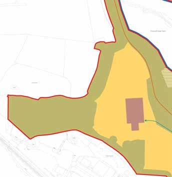
Land Use
Farmstead section - Mixed Use (C2/ C3, E, F1, F2 & Sui Generis)
Western section - Residential (C2 & C3) to include secondary and tertiary streets, cycle and footpaths, open space, areas of play and SUDS features.

08 Making Places 154
Green Infrastructure Parameters
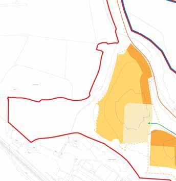
Green Infrastructure
The parcel includes existing trees situated around an retained water feature on its eastern side.
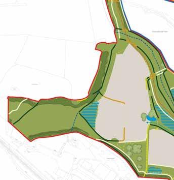
Building Height Parameters
Building Heights
Up to 2.5 storeys (max ridge height 9m with tolerance of 2m from existing ground levels).
Chalcroft Farm
Making Places 08 155
88. Strategic Considerations
Chalcroft Farm Flexible Parameters
Indicative Character Area
Chalcroft Avenue
Secondary Road
Footpath & Cycle
Existing Road (outside of site)
Existing Mature Trees
Chalcroft Yard & Setting
Existing Hedgerows
Open Space
Watercourse & SUDS
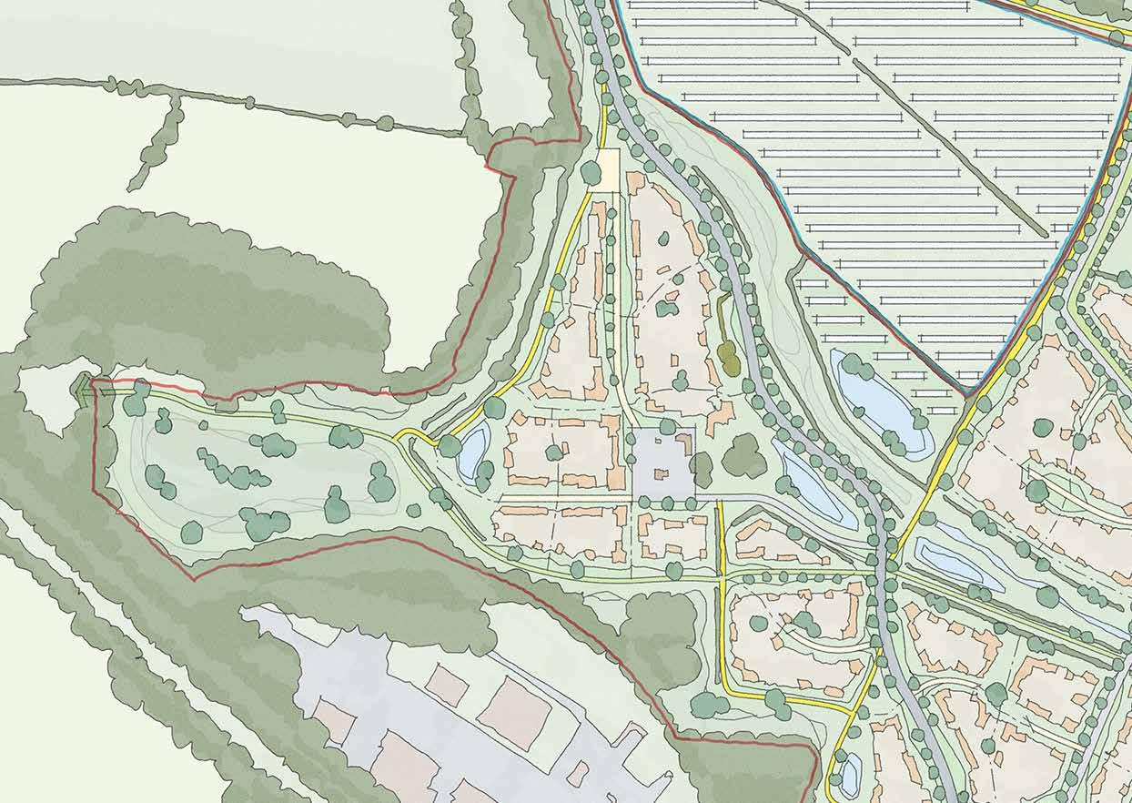
Key Edge
Primary Wayfinding
Secondary Wayfinding
156
Strategic Concept
8.8.7 The heritage of Chalcroft Farm takes centre stage within this character area. Whilst the original buildings are not capable of retention the recreation of a historic farmstead, through the composition of new buildings, is vital to the enduring character of the area and this is identified on the concept plan. In addition, the setting of the farmstead, where any built form should largely be subservient and respect key views, is also identified.
8.8.8 The parcel also must respond to a number of movement corridors including an appropriate transition to a pedestrian and cycle only Chalcroft Tolls, the extension of a cycle and footpath to the west beyond the proposed built form and the presence of Chalcroft Avenue skirting the north-eastern edge of the parcel.
8.8.9 The parcel is also bounded to the south and west by woodland and mature trees which the development must respect through a mixture of off-setting and incorporation of movement corridors. The development must also not turn its back on the ecological mitigation area to the south-west corner.
Chalcroft Farm
Making Places 08 157
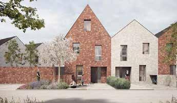
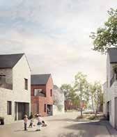
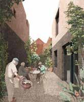
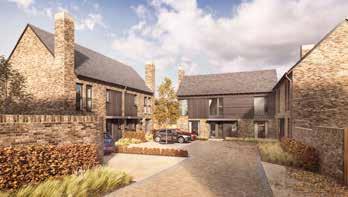
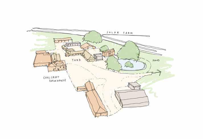
08 Making Places
158
89. The historic setting of Chalcroft Farmstead, as shown, presents a unique opportunity for new innovation
Chalcroft Farm
Placemaking & Precedent
8.8.10 The proposed mixed-use core will be broadly congruous with the historic footprint of the farmstead, and will create a gateway to the new housing beyond.
8.8.11 The ‘partial enclosure’ character of the historic yard will create a series of interesting architectural opportunities, particularly with secondary and tertiary edge typologies and wayfinding features.
8.8.12 The area is broadly permeable to movement, and should encourage this through a series of smaller yards and squares rather than wide corridors.

Making Places 08
159
90. Semi-formal approach into setting of Chalcroft Farm
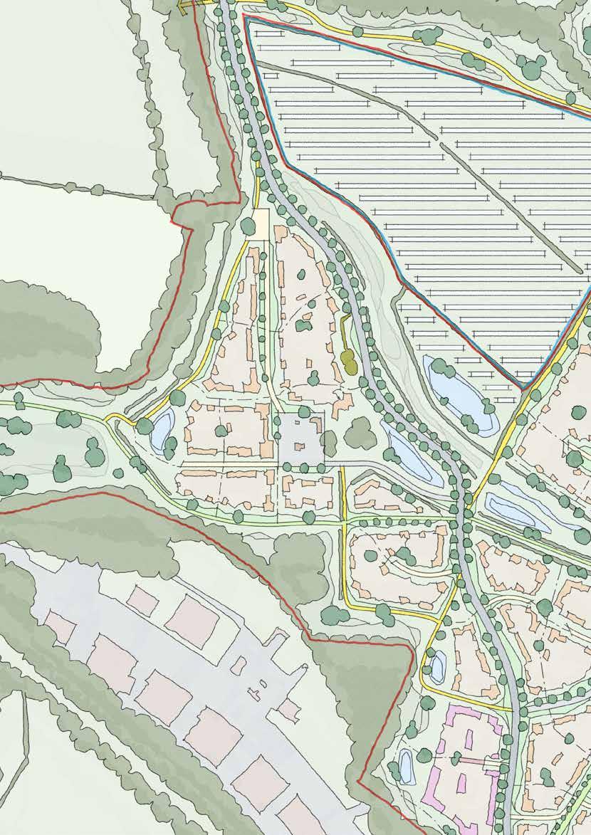
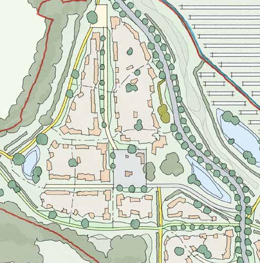
160
Chalcroft Farm
Sketch Concept Key Principles
8.8.13 The heritage value of the farm setting must be carefully understood as part of future design proposals
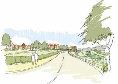
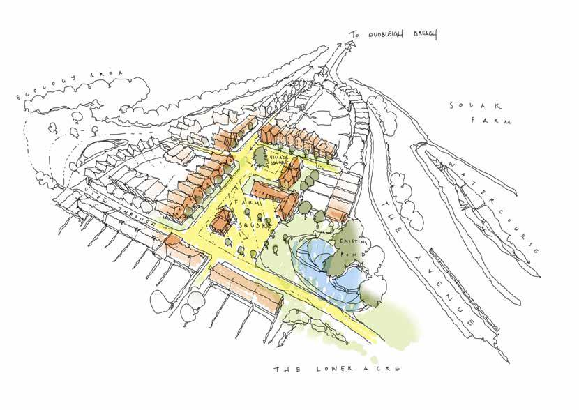
8.8.14 It must engage actively with Chalcroft Avenue, which forms a linear character area in its own right
8.8.15 It must respond carefully to the shared edge with Chalcroft Business Park to the South
8.8.16 It must sensitively engage with the ecology area to the west
8.8.17 It must appropriately incorporate west-east cycle movement
Making Places 08
161
8.9 Fir Tree Farm
Introduction
8.9.1 Fir Tree Farm is the single smallest ‘enclosure’ on the site. The Grade II Listed farmhouse is nestled amongst well established mature tree planting; it has no clear ‘yard’ composition, but its apparent historic demense extends some distance beyond its physical boundaries.

8.9.2 Testament to its pre-eminence, the farm gives its name to the west-east Fir Tree Lane, which itself has remained on its current alignment throughout recorded history.
8.9.3 It is proposed that Fir Tree Farmhouse is retained and protected; the fabric is in very good physical condition, and so it represents an important aspect of the built heritage of One Horton Heath.
8.9.4 The ‘setting’ within which the farmhouse sits is a contributing factor the overall value of the Fir Tree Farm composition. Alhough it cannot be clearly marked on the ground, it is qualitatively defined by the orientation of its main historic frontage and wider ‘enclosure’: the farmhouse faces east, and has a sparser tree belt edge to its south and east.
8.9.5 When considered together, these factors make a clearer suggestion of ‘setting’ that extends to the south-east of the existing farmhouse; the remaining arc of land to west and north is densely enclosed by mature trees and relate only to the less sensitive, later rear extensions to the property.
8.9.6 Thus, although well contained within its immediate landscape, Fir Tree Farm is an important focal point - physically and culturally - within the wider One Horton Heath masterplan, and therein lies its greatest character and opportunity.
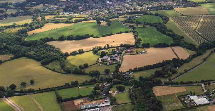
08 Making Places
q uobleig H w ood S e xi ST ing village S olar F arm F ir T ree l ane 162
91. Aerial View of Fir Tree Farm
Fir Tree Farm, as Chalcroft Farm in the south, is a name which has existed on the site for many years. The Farm has given name to the adjacent Fir Tree Lane that runs across the site, and now lends much of its character to the northern fields of One Horton Heath.


v 163 92. Fir Tree Farm in Context
Fir Tree Farm
Access Parameters
Access
The downgraded Fir Tree Lane runs through the parcel providing pedestrian and cycle connectivity.
Land Use Parameters
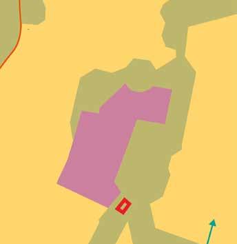
Land Use
Employment (E(g), B2 & B8) plus ancillary E(a), E(b) and Sui Generis Uses.
Any B2 uses will be located at least 20m from any C2/C3 uses.
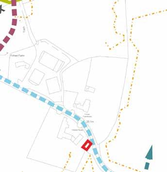
08 Making Places 164
Green Infrastructure Parameters
Green Infrastructure
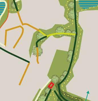
This parcel is surrounded by existing hedgerow and trees including adjacent to Fir Tree Lane.
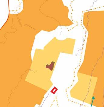
Building Height Parameters
Building Heights
Up to 3 storeys (max ridge height 12m with tolerance of 2m from existing ground levels)
Fir Tree Farm
Making Places 08 165
Fir Tree Farm Flexible Parameters
Indicative Character Area
Chalcroft Avenue
Secondary Road
Footpath & Cycle
Existing Road (outside of site)
Existing Mature Trees
Fir Tree Farmhouse & Setting
Existing Hedgerows
Open Space
Watercourse & SUDS
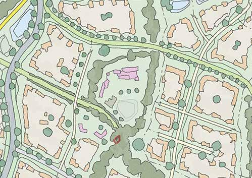
Key Edge
Primary Wayfinding
Secondary Wayfinding
166
93. Strategic Considerations
Strategic Concept
8.9.7 The Grade II Listed Fir Tree Farmhouse is the centre of this relatively modest parcel that extends to the south of the existing Fir Tree Lane to encompass the land where originally ancillary buildings once stood and the now less appropriate Victoria Farmhouse is located.
8.9.8 Key opportunities are to reinforce the hierarchical significance of Fir Tree Farmhouse and, in particular, its two ‘faces’ to the south and east.
8.9.9 Key to this will be an appropriate subservient scale and coverage of built form within the original curtilage of Fir Tree Farmhouse, respecting its principal setting to the east and ensuring an appropriate form of development where Victoria House currently stands.
8.9.10 Movement opportunities should be embraced particularly the cycle and pedestrian-centric Fir Tree Lane which, from an experiential point of view, will oft be considered as terminating at Fir Tree Farmhouse.
Fir Tree Farm
Making Places 08 167
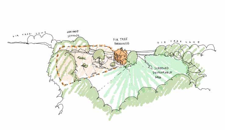
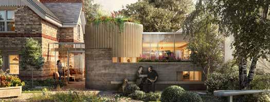
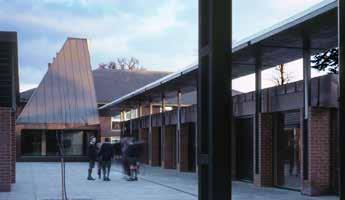
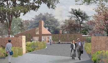
08 Making Places
168
94. The heritage setting of Fir Tree Farmhouse must be respected; but areas beyond this setting are opportunities for characterful new development
Fir Tree Farm
Placemaking & Precedent
8.9.11 The setting of Fir Tree Farmhouse is one of the strongest established ‘places’ at One Horton Heath. Nontheless, although well established, there is capacity for sympathetic intervention to enhance the overall experience of the area.
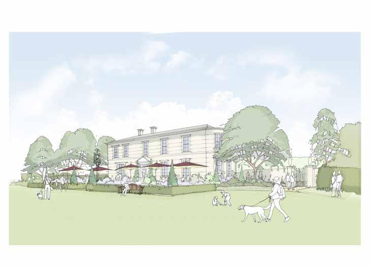
8.9.12 The existing farmhouse, quite notably, does not directly address Fir Tree Lane and rather presents a flank elevation. This shifts the axis of approach quite dramatically and creates opportunity for visual interest.
8.9.13 Fir Tree Lane, to be downgraded, will change significantly in character in its own right. Fir Tree Farmhouse will become a key component of the experience of the route.
Making Places 08
169
95. Enhancing the setting of a listed building through community uses
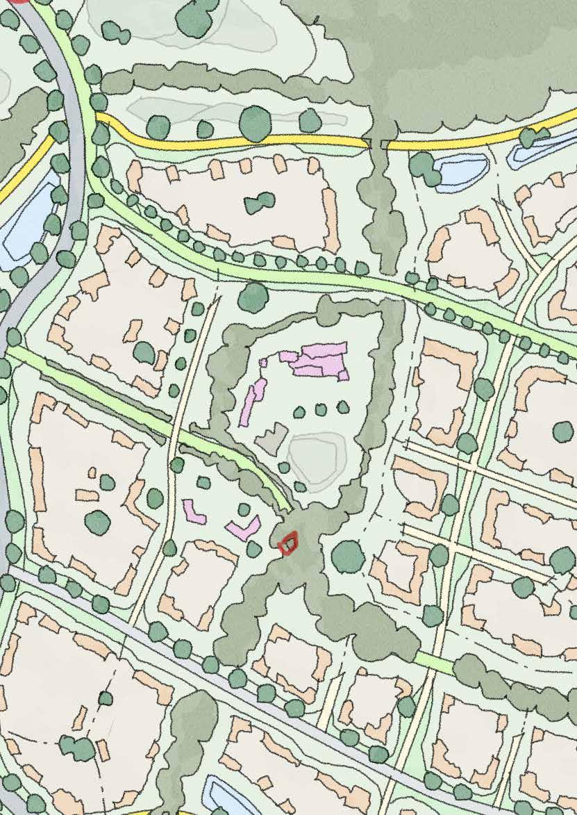
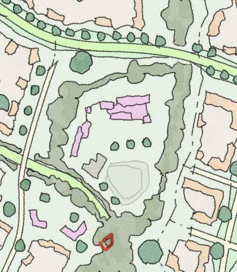
170
Fir Tree Farm
Sketch Concept Key Principles
8.9.14 Preservation and, where possible, enhancement of the landscape setting of the Grade II Listed farmhouse.
8.9.15 Combination of ordered/informal massing in any development that sits to the rear of Fir Tree Farm, subject to detailed agricultural character study.
8.9.16 Careful understanding of how neighbouring areas relate to Fir Tree Farmhouse across the historic field boundaries.
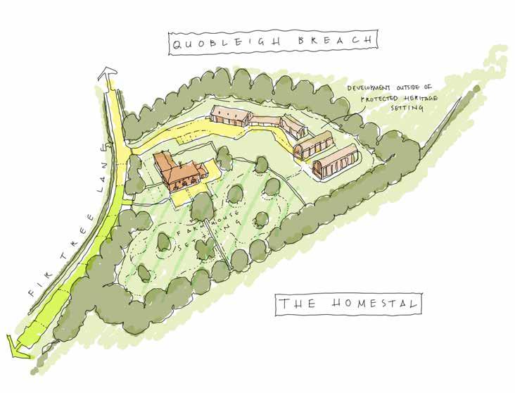
Making Places 08
171
8.10 The Upper Acre
Introduction
8.10.1 The Upper Acre is part of the central residential core of the site. Roughly square in shape, The Upper Acre is defined by very strong boundary features.
8.10.2 To the South is the Tollbrook and Chalcroft Tolls – which together divide the Upper and Lower Acres, providing green relief through this part of the site. To the East is Burnetts Lane whilst to the West is the Solar Park, which in turn is firmly screened by fencing, hedgerow, a Public Right of Way and then another hedgerow. To the North, there is no existing boundary. However, as the proposed Masterplan reveals, The Upper Acre gives way to the Sports Pitches and open spaces which mark the very core of One Horton Heath

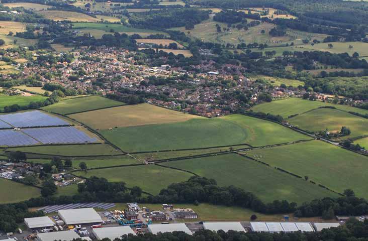
8.10.3 In contrast to the strong boundary features, and similar to The Lower Acre, The Upper Acre has very few defining features within the area itself. This part of the site is open and rolling with long-distance views available to and from other parts of the South of the site; there are no existing features such as hedges, trees, ditches, streams or buildings.
8.10.4 Perhaps more so than other parts of the site, which contain many notable and interesting features, The Upper Acre offers the opportunity to innovate through design – to create, and not be overly constrained by the existing landscape. This is in part reinforced by the proximity to the central core of the site which, by its very nature, deserves the most prominence, excitement and sense of ambition within One Horton Heath.
08 Making Places e xi ST ing v illage c H alcro FT b u S ine SS P ark S olar F arm b urne TTS l ane 172 96.
Aerial View of The Upper Acre
Similar to the “Lower Acre,” this area derives its name from the acre of green space proposed at its centre. As the name suggests, there is a clear expectation through this design code that the Lower and Upper Acres – as immediate neighbours – will have a very strong resemblance and character, whilst also creating their own unique identities.

The Upper Acre

173 97. The Upper Acre in Context
Access Parameters
Access
The internal distributor bisects the parcel whilst an existing PRoW extends along the western flank of the parcel.
Land Use
Residential (C2 & C3) to include secondary and tertiary streets, cycle and footpaths, open space, areas of play and SUDS features.
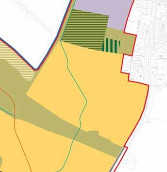
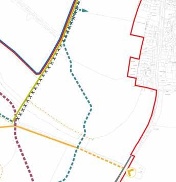
08 Making Places 174
Land Use Parameters
Green Infrastructure Parameters
Green Infrastructure
The Tollbrook is located along the southern extent of the parcel formed of some existing hedgerow with informal open space incorporating SUDS beyond. To the west there is existing hedgerow and, to the north, informal and formal open space.
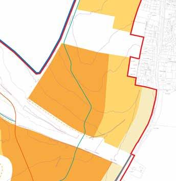
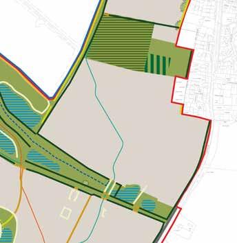
Building Height Parameters
Building Heights
Up to 4 storeys (max ridge height 15m with tolerance of 2m from existing ground levels) with the eastern edge of the parcel, adjacent to Burnetts Lane and Bramley Gardens, reducing from initially up to 3 storeys (max ridge height 12m with tolerance of 2m from existing ground levels) down to up to 2.5 storeys (max ridge height 9m with tolerance of 2m from existing ground levels).
The Upper Acre
Making Places 08 175
The Upper Acre Flexible Parameters
Indicative Character Area
Chalcroft Avenue
Secondary Road
Cycle Greenway
Footpath & Cycle
Existing Road (outside of site)
Existing Mature Trees
Existing Hedgerows
Open Space
Watercourse & SUDS
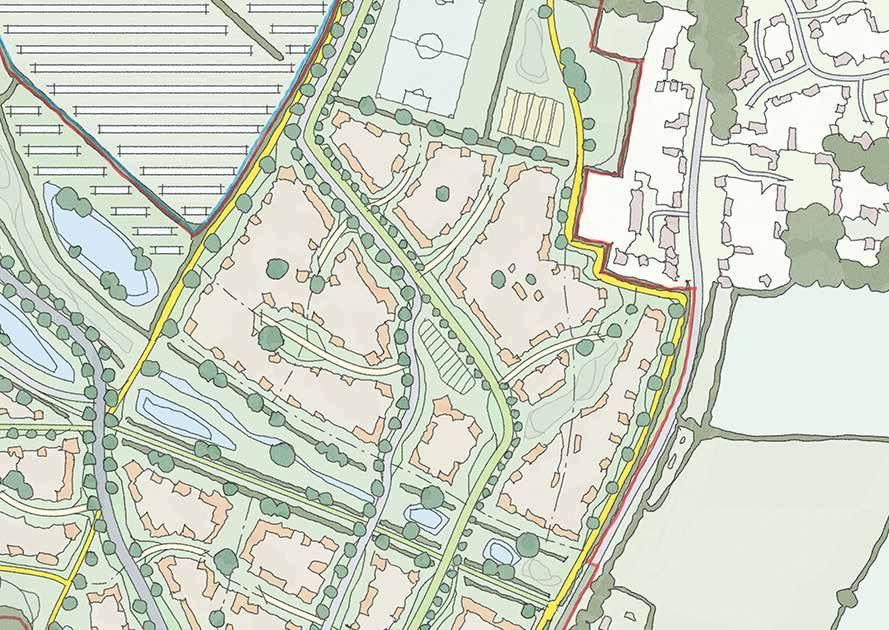
Key Edge
Primary Wayfinding
Secondary Wayfinding
The Upper Acre
176
98. Strategic Considerations
Strategic Concept
8.10.5 Whilst The Upper Acre could be perceived as simply a continuation of the urban grain established by The Lower Acre its location at a key transition between residential development to the south and the Central Core necessitates a refined design.
8.10.6 At the south, due to the open views over and along Chalcroft Tolls, a key frontage is present to act as a gateway into the parcel. Equally, to the east a sensitive edge is present ensuring that the rural character of Burnetts Lane is respected and there is an appropriate transition between that character and the existing residential development at Bramley Gardens.
8.10.7 Secondary wayfinding points are indicated across the parcel and these are required to aid legibility and provide the opportunity for refinement, or an element of juxtaposition, to the built form. Two of these are located at the northern edge of the parcel, where the internal distributor road exits/enters the parcel proving a key opportunity to engrain identity into The Upper Acre parcel.
8.10.8 The northern boundary where these points are located is also identified as sensitive as the design and built form must appropriate interact with the formal sports pitches to the north. Access is also indicated along the same sensitive edge into an allotment area.
The Upper Acre
Making Places 08 177
99. The shared boundary with Barley Fields forms an important edge. The above indicative designs show ways which, in principle, the proposed residential development can acceptably interact with the existing residential development. The final design will be subject to a detailed planning application which will include consultation with adjacent residents
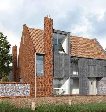
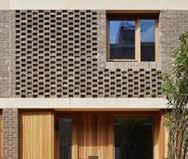
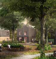
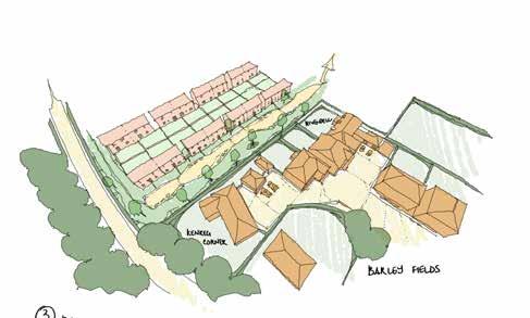
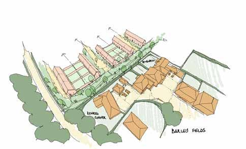
08 Making Places
178
The Upper Acre
Placemaking & Precedent
8.10.9 The Upper Acre is complementary to The Lower Acre, albeit transitioning character from the Southern Gateway towards the Central Core, via the Sports Pitches.
8.10.10 Burnetts Lane, to the east, remains an important rural edge albeit less dominant as it connects into more domestic character of the existing village.
8.10.11 The existing dwellings at Barley Fields have particularly small rear gardens, and are therefore in very close proximity to The Upper Acre. In principle it is suggested that new public realm along these boundaries will create the opportunity for enhanced boundary planting. In any case, this context represents a specific design challenge.
8.10.12 The Upper Acre has three edges to ‘open space’, albeit each being a different type of open space. Each of these edges - sports pitches, solar farm, and Tollbrook - present opportunities to develop a unified but not uniform approach to wayfinding.
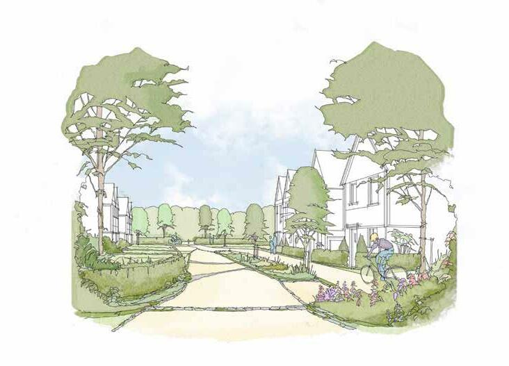
Making Places 08
100. A Cycle Greenway links the Southern Gateway to the Central Core through The Upper Acre
179
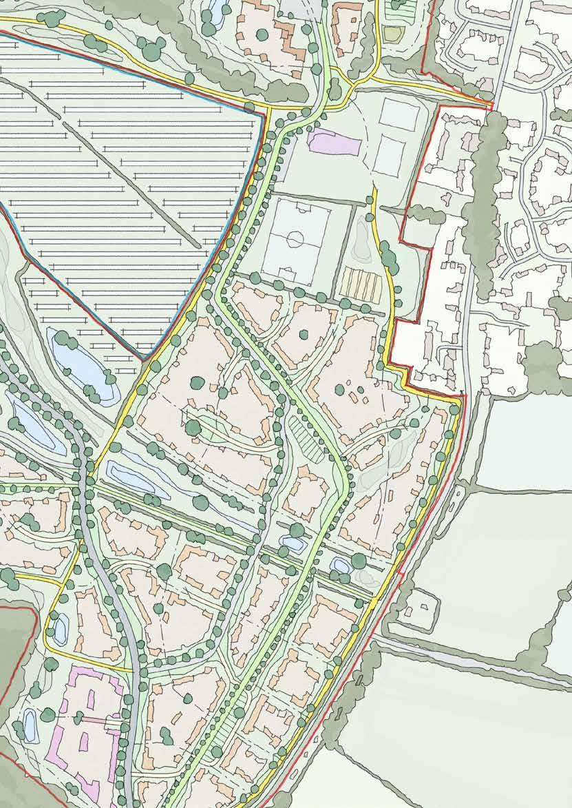
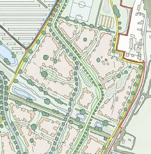
180
The Upper Acre
Sketch Concept Key Principles
8.10.13 The Upper Acre is likely to be a thematic continuation of The Lower Acre and should respond positively to this
8.10.14 It must respond positively to its shared edge along Burnetts Lane and the rear of Barley Fields
8.10.15 It must respond carefully to its shared edge with the Sports Ptiches to the north
8.10.16 It must capitalise on the opportunity of the landscape character of the Tollbrook corridor to the south
8.10.17 It must carefully incorporate any major utilities constraints
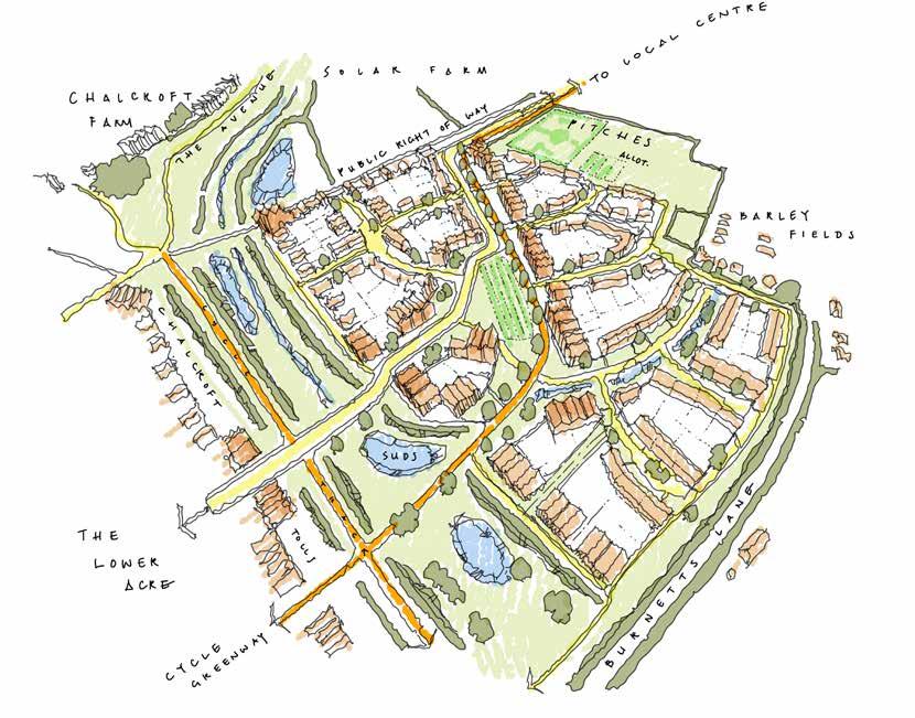
Making Places 08
181
8.11 The Homestal
Introduction
8.11.1 The Homestal sits to the immediate east of Fir Tree Farm, and is one of three development areas that edges onto Quobleigh Woods to the north. As with all of the other parcels in the northern ranges of One Horton Heath, it shares a relationship with Fir Tree Lane; in this instance, defining its southern boundary.
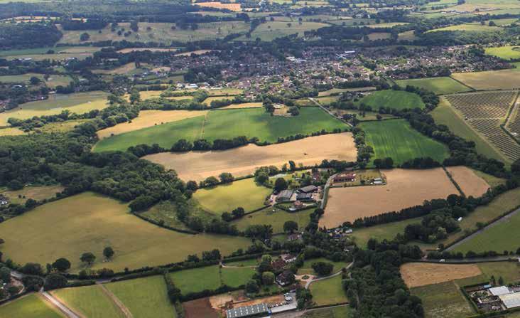
8.11.2 Even moreso than the other ‘assarted’ fields around Fir Tree Farm, The Homestal is defined by the robustness of its enclosure. Although Fir Tree Lane runs along its southern edge, the sunken character of the road combines with the density of the mature planting belt to create a parcel that is perceptibly ‘detached’ from the rest of the site.

8.11.3 The Homestal is further defined by its topography. The southern section of the parcel sits higher, closely relating to Fir Tree Lane and the setting of Fir Tree Farmhouse. Broadly half-way up the parcel, the land crests and falls to the north towards Quobleigh Woods; this area shares its more characteristics with the woodland to the north than the lane to the south.
8.11.4 Although generally well enclosed to long public views, there is an existing Public Right of Way that skirts along the edge of Quobleigh Woods on the northern fringe of The Homestal. This corridor also accommodates new areas of surface water attenuation; this new intervention combines with the new homes along here to describe a key edge that should be carefully considered in its design.
08 Making Places 182 101.
q uobleig H w ood S e xi ST ing village F ir T ree l ane F ir T ree F arm
Aerial View of The Homestal
The Homestal is a particularly well enclosed area of the site. Amongst the other northern fields around Fir Tree Farm, The Homestal has the greatest sense of ‘enclosed land’ associated with the farm - this is reflected in its name, which is a term traditionally used to refer to the field closest to the farmcore.

102. The Homestal in Context 183
The Homestal
Access Parameters
Access
Accessed from the south by the internal distributor road the northern boundary has an existing PRoW running along its length.
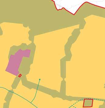
Land Use
Residential (C2 & C3) to include secondary and tertiary streets, cycle and footpaths, open space, areas of play and SUDS features
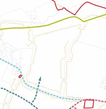
08 Making Places 184
Land Use Parameters
Green Infrastructure Parameters
Green Infrastructure
The Homestal is encompassed by existing hedgerows and trees with existing woodland and a watercourse along its northern boundary. SUDS are also located on the northern boundary.
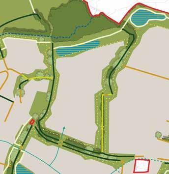
Building Height Parameters
Building Heights
Up to 3 storeys (max ridge height 12m with tolerance of 2m from existing ground levels) with the south-western section, closest to Fir Tree Farmhouse being up to 2.5 storeys (max ridge height 9m with tolerance of 2m from existing ground levels)
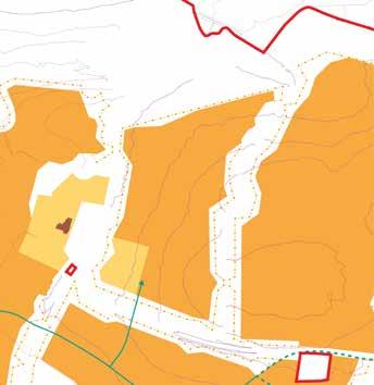
The Homestal
Making Places 08 185
The Homestal Flexible Parameters
Indicative Character Area
Chalcroft Avenue
Secondary Road
Cycle Greenway
Footpath & Cycle
Existing Road (outside of site)
Existing Mature Trees
Existing Hedgerows
Open Space
Watercourse & SUDS
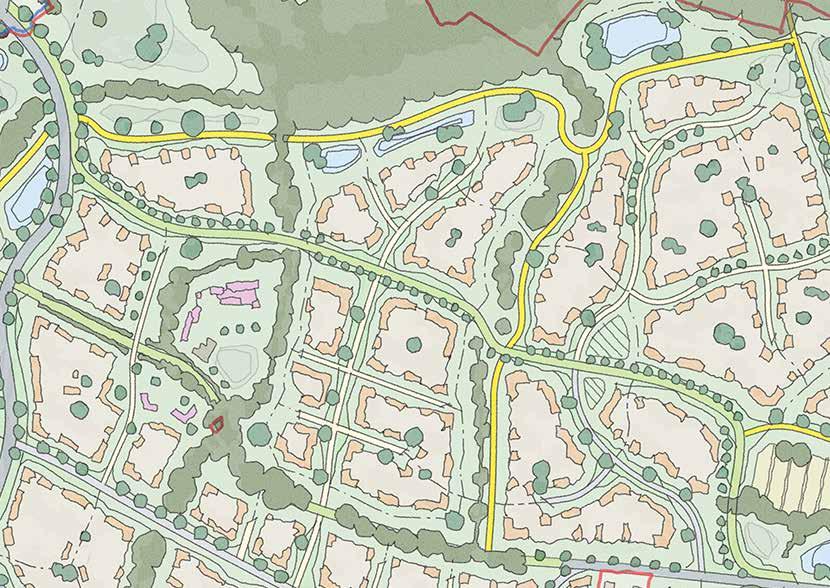
Key Edge
Primary Wayfinding
Secondary Wayfinding
Fir Tree Farmhouse
186
103. Strategic Considerations
Strategic Concept
8.11.5 As a relatively self-contained parcel the design must utilise the strong vegetative boundaries and northern buffer, in response to ecological constraints, to frame a successful design.
8.11.6 The opportunity for secondary wayfinding features, particularly at the southern entrance to the parcel, provide an opportunity for creativity whilst the setting of the grade II listed Fir Tree Farmhouse should be framed and celebrated rather than respected simply by distance.
8.11.7 The footpath extending along the northern boundary, and beyond, provides an opportunity for secondary wayfinding features as it breaks through the respective eastern and western boundaries, in addition to being an attractive setting for development to front on to and respond positively to.
The Homestal
Making Places 08 187
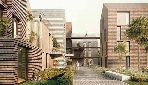
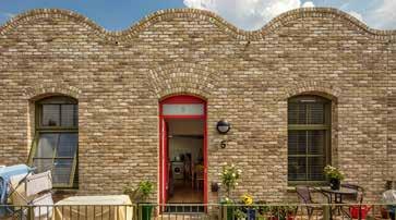
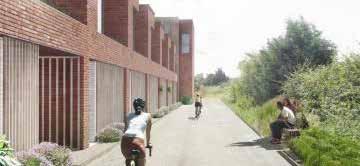
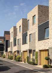
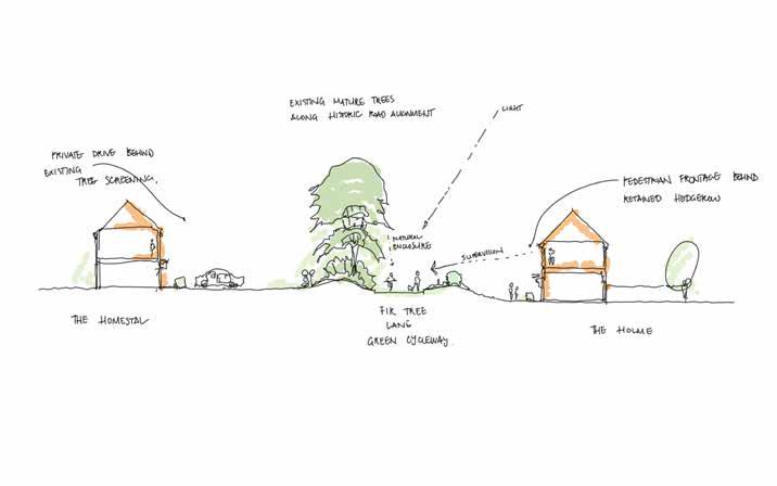
08 Making Places
188
104. Fir Tree Lane has a varied character of ‘sunken’ enclosure; alternating between mature trees, native hedgerows, and scrubby gaps
The Homestal
Placemaking & Precedent
8.11.8 The nature of its access, being a new crossing over Fir Tree Lane, means that The Homestal could risk becoming a ‘corridor’ that simply runs down to Quobleigh Woods.
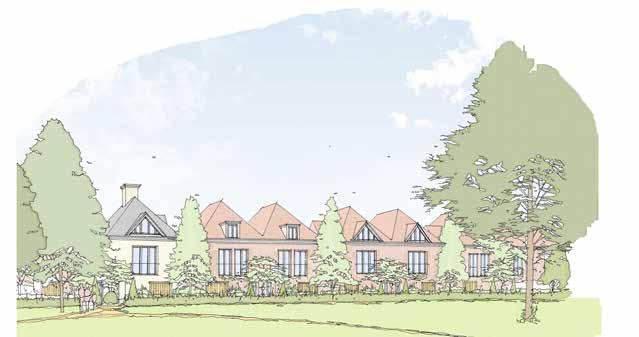
8.11.9 However, these two edge conditions create Placemaking & Precedent in their own right: Fir Tree Farm and Lane to the west and south, and Quobleigh Woods to the north.
8.11.10 This means that The Homestal can be broadly divided into two, with each addressing the specific character prompts of its respective edges.
8.11.11 This suggests a ‘layered’ arrangement of places rather than simply corridors or enclosures.
Making Places 08
105. The open green edge to Quobleigh Woods is an opportunity for a more bespoke place character
189
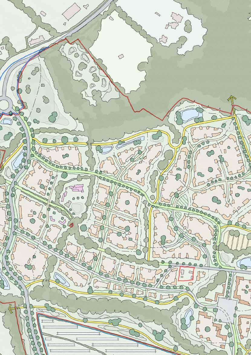
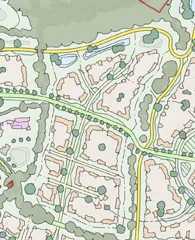
190
The Homestal
Sketch Concept Key Principles
8.11.12 The Homestal must respond carefully to its shared edge with Fir Tree Farm in the south-west, where it contributes to the heritage setting
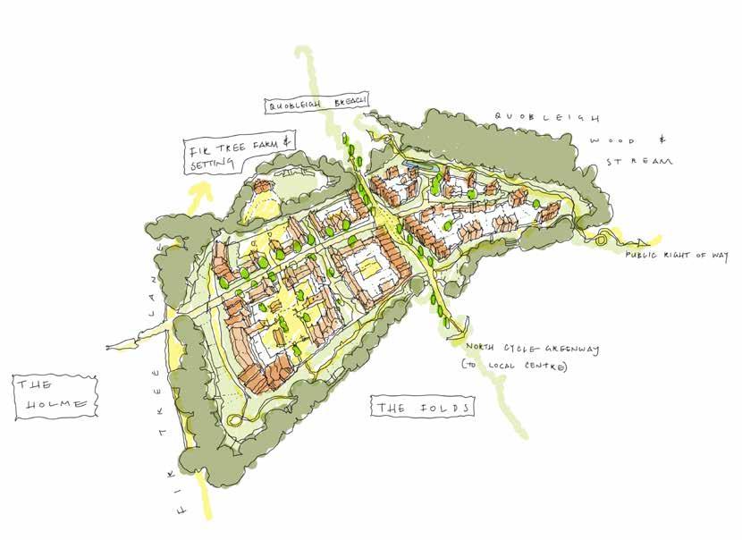
8.11.13 It must respond carefully to the changing character and use of the Fir Tree Lane corridor
8.11.14 It must address sensitively an outlook over Quobleigh Wood / Ponds to the north, as well as the public right of way here
8.11.15 It must connect carefully with Quobleigh Breach to the west and The Folds to the east
Making Places 08
191
Introduction
8.12.1 The Holme is broadly latitudinal parcel, running parallel along the northern edge of the Foxwood Stream corridor. As with the other northern fields, it is very well enclosed; albeit with a shallower depth between the major tranverse green infrastructure of Fir Tree Lane and Foxwood Stream.
8.12.2 As well as receiving a strong westeast emphasis from the orientation and proximity of the landscape infrastructure, the topography also falls to the south and further reinforces the latitudinal feel through its contours.
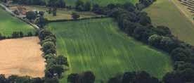
8.12.3 The Holme accommodates the internal distributor road that ‘bypasses’ the partially downgraded Fir Tree Lane. It connects Chalcroft Avenue in the west to the remaining stretch of Fir Tree Lane in the east, adjacent to the Central Core and existing village.
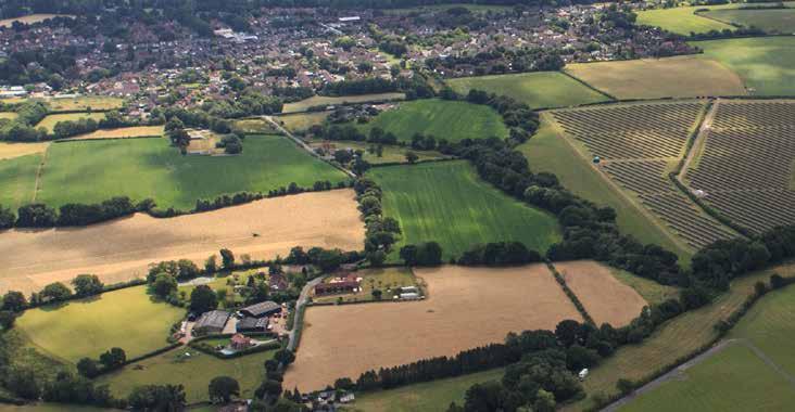
8.12.4 Overall, these strategic infrastructure considerations suggest a parcel thatalthough nominally is an ‘enclosure’ - could actually be considered as a transverse corridor. With this, The Holme will therefore derive the greatest contribution of character from the well esablished landscape corridor of Foxwood Stream; the nature of their shared edge will be a key placemaking opportunity.
8.12.5 The presence of existing dwelling in the eastern extent of the parcel must also be considered. Although it is outside of the application boundary it remains firmly within the landscape confines of One Horton Heath. The property, through a study of its constituent buildings and overall configuration, is not of any historic significance. Nonetheless it is something that must be considered in later detailed proposals.
08 Making Places 106.
e xi ST ing village F ir T ree l ane F
S T
F ir T ree F arm 192
Aerial View of The Homestal
oxwood
ream
8.12 The Holme
As established, The Holme is an enclosure that is clearly dominated by the significance of its southern edge: the running water and deep linear ‘woodland’ along the Foxwood Stream corridor. The site sits on the slopes of the natural valley above the stream, and thereby derives its name - ‘holme’ describing land which has an integral relationship with water.

193 107. The Holme in Context
The Holme
Access Parameters
Access
The internal distributor road, that supersedes the downgraded Fir tree Lane, runs through the parcel bisecting it in addition to supporting connectivity northwards into The Homestal. As this route approaches the Central Core, two potential alignments are indicated to preserve future flexibility. The entire length of the northern edge of the parcel is adjacent to the pedestrians and cyclists on the downgraded Fir Tree Lane.
Land Use Parameters
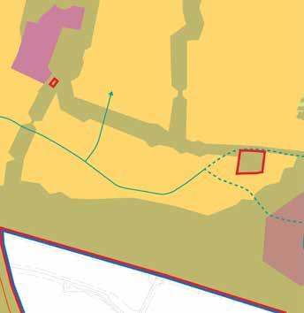
Land Use
Residential (C2 & C3) to include secondary and tertiary streets, cycle and footpaths, open space, areas of play and SUDS features
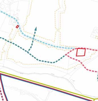
08 Making Places 194
Green Infrastructure Parameters
Green Infrastructure
With the exception of the north-eastern edge the parcel is encompassed by hedgerow which, particularly to the south and west, incorporates existing trees and woodland. SUDS is integrated along the southern boundary.
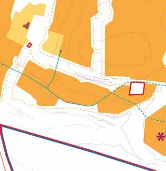
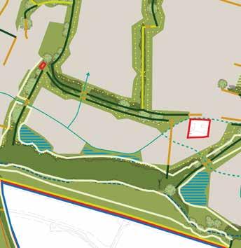
Building Height Parameters
Building Heights
Up to 4 storeys (max ridge height 15m with tolerance of 2m from existing ground levels)
The Holme
Making Places 08 195
The Holme Flexible Parameters
Indicative Character Area
Chalcroft Avenue
Secondary Road
Footpath & Cycle
Existing Road (outside of site)
Existing Mature Trees
Existing Hedgerows
Open Space
Watercourse & SUDS
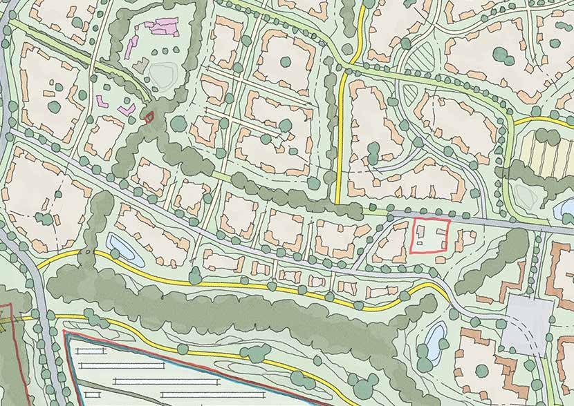
Key Edge
Primary Wayfinding
Secondary Wayfinding
196
108. Strategic Considerations
Strategic Concept
8.12.6 The parcel is a key transitory point with the internal distributor road and the need for SUDS forming a significant land take.
8.12.7 Opportunities for secondary wayfinding buildings are identified including at the points where the internal distributor road turns northwards to Homestal.
8.12.8 The presence of the downgraded Fir Tree Lane, now proposed for cyclists and pedestrians, beyond the existing hedgerow provides an opportunity for new built form to create a safe and welcoming environment.
8.12.9 The combination of the existing woodland, watercourse and proposed SUDS to the southern boundary requires sensitive design to ensure that appropriate buffers are maintained but the space remains active.
Making Places 08 197
The Holme
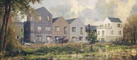
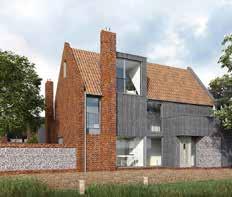

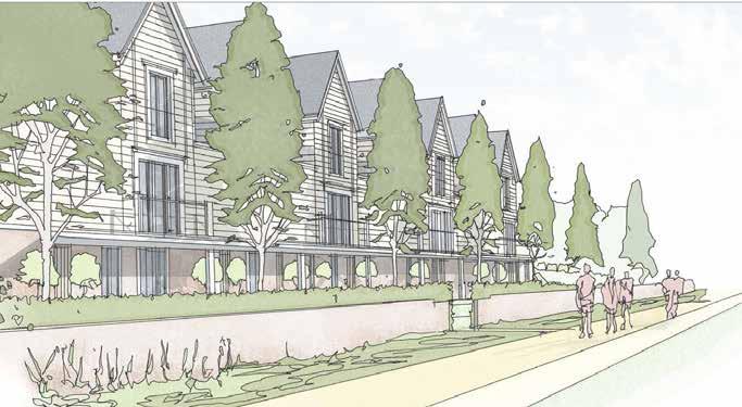
08 Making Places
198
109. The strength of the established setting of Foxwood Stream corridor creates the opportunity for a characterful visually permeable street frontage
The Holme
Placemaking & Precedent

8.12.10 Although well enclosed on all sides by existing landscape features, The Holme feels much more like a west-east ‘corridor’ than ‘enclosure’. This is by virtue of Fir Tree Lane to the north, Foxwood Stream to the south, and the new link road ‘Bourne Lane’ through.
8.12.11 This linear dominance should be encouraged as an opportunity; intermediate junctions should be ‘asymmetric’ rather than balanced gateways to maintain the visual flow of the streetscape.
8.12.12 The northern and southern edges - to Fir Tree and Foxwood Stream - will be secondary corridors of movement and should be addressed as such.
Making Places 08
110. Fir Tree Lane has a varied character of ‘sunken’ enclosure; alternating between mature trees, native hedgerows, and scrubby gaps
199
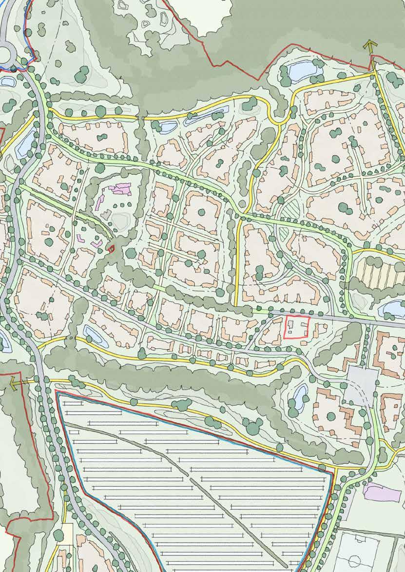
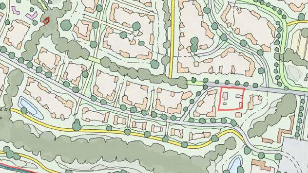
200
The Holme
Sketch Concept Key Principles
8.12.13 The Holme must respond carefully to its shared edge with Fir Tree Farm in the north-west, where it contributes to the heritage setting
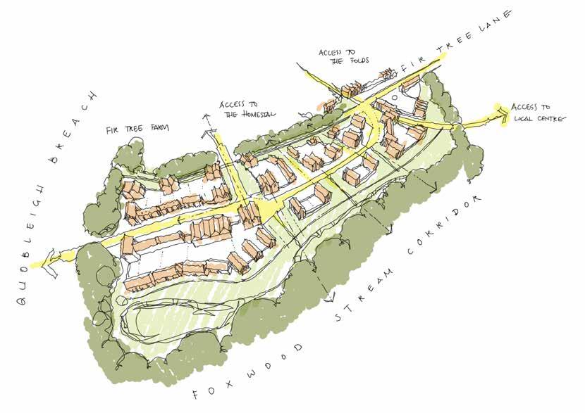
8.12.14 It must respond carefully to the changing character and use of the Fir Tree Lane corridor
8.12.15 It must address sensitively an outlook over Foxwood Stream corridor to the south
8.12.16 It must connect carefully with Quobleigh Breach to the west and The Homestal to the north
8.12.17 It must consider its relationship with the existing dwelling on Fir Tree Lane
Making Places 08
201
8.13 The Folds
Introduction
8.13.1 The Folds are the single largest parcel of developable land at One Horton Heath; the area occupies the north-eastern corner of the site, and bounded to the north, notably, by Quobleigh Woods. Of all the northern fields, it holds the greatest share of the site’s edge with Quobleigh Woods.
8.13.2 Despite this, the scale of The Folds means that it has a significant edge to Fir Tree Lane, albeit with a more restrained influence on its character.
8.13.3 It also shares its eastern boundary with other recent development in the existing village. This edge is also partially defined by Public Rights of Way that run north-south through the landscape, and east back into the village.
8.13.4 Although The Folds is an established enclosure similar to the others around Fir Tree Farm, its overall size and rolling topography means that it naturally begins to sub-divide into smaller areas.

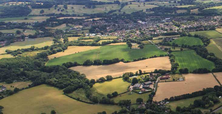
8.13.5 To the south, in the vicinity of Fir Tree Lane and the proposed allotments, the ground is more level and there is a less cohesive sense of natural enclosure. This pocket of The Folds will likely find stronger character as a place of corridors, with Fir Tree Lane along its southern edge, and the need for an internal distributor road spurring off and bisecting it to serve the northern part of The Folds.
8.13.6 With proximity to the Central Core and busier movement corridors, the southern area will likely benefit from a robust approach to secondary ‘artficial’ enclosure.
8.13.7 The northern part of The Folds sits on more sloping ground, which gently undulates as it rolls down towards Quobleigh Woods and stream. It falls in two directions, partially to the west but generally to the north. With an established and stronger sense of natural enclosure, this topography offers prompts for a more playful approach to its edge condition with Quobleigh Woods; the Public Right of Way here encourages a series of landscape and man-made wayfinding features to define a significant area of natural public realm.
08 Making Places 111.
e xi ST ing village q uobleig H w ood S F ir T ree l ane F ir T ree F arm 202
Aerial View of The Folds
This parcel of land is the largest uninterrupted developable area of One Horton Heath; The Folds is deliberately plural to suggest multiple parts of a larger piece. The term itself is taken from historic references to animal enclosures - sheepfolds - and suggests a layered approach to secondary and tertiary enclosures. It also evocatively reflects the ‘folds’ of the topography here.
The Folds

203 112. The Folds in Context
Access Parameters
Access
Accessed from the south by the internal distributor road the northern and eastern boundaries have an existing PRoW running along its length.
There are three pedestrian access points on the eastern boundary, two which serve existing residential areas and a third which leads north-east towards Lapstone playing fields, Wyvern College and Fair Oak Junior School.


Land Use
Residential (C2 & C3) to include secondary and tertiary streets, cycle and footpaths, open space, areas of play and SUDS features
08 Making Places 204
Land Use Parameters
Green Infrastructure Parameters
Green Infrastructure
The parcel is encompassed by existing tree and hedgerows with existing woodland, adjacent to SUDS, along the northern boundary. In the south-east corner there is a circular arrangement of existing trees and woodland.


Building Height Parameters
Building Heights
Up to 4 storeys (max ridge height 15m with tolerance of 2m from existing ground levels)
The Folds
Making Places 08 205
113.
The Folds Flexible Parameters
Indicative Character Area
Chalcroft Avenue
Secondary Road
Cycle Greenway
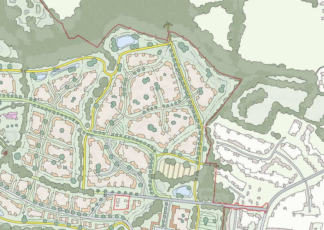
Footpath & Cycle
Existing Road (outside of site)
Existing Mature Trees
Existing Hedgerows
Open Space
Watercourse & SUDS
Key Edge
Primary Wayfinding
Secondary Wayfinding
Allotments
206
Strategic Considerations
Strategic Concept
8.13.8 The Folds is one of the largest parcels of development at One Horton Heath and is defined by its rectilinear shape and strong vegetative boundaries with encloses it from wider views.
8.13.9 This provides a significant opportunity for built form to strongly present towards the northern edge buffer that is requires to ensure an ecologically sensitive approach.
8.13.10 Whilst there is only one vehicular access from the south, to preserve the integrity of the individual northern parcels, there are a number of pedestrian and cycle links that must be accommodated and utilised to their capacity.
8.13.11 In particular, the link from the Central Core through The Folds and northwards towards Lapstone Playing Fields and the educational facilities should be integrated and encouraged as a safe accessible environment.
8.13.12 Recreational opportunities should be incorporated in the open space and allotments to the south-east, including vehicular servicing and, if appropriate, parking.
8.13.13 Furthermore, as Fir Tree Lane still accommodates vehicular movements at this point, the proposed development has an opportunity to front towards it embracing its character rather than turning its back. This is also reflected by the opportunity for secondary wayfinding structures at the southern vehicular entrance into The Folds, two of a total of five opportunities identified for wayfinding structures at gateways where additional legibility would be welcomed.
The Folds
Making Places 08 207
has a very strong and established natural character of enclosure; this presents the opportunity for a reactive and varied development edge that integrates natural and
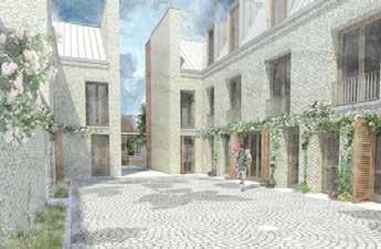
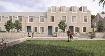
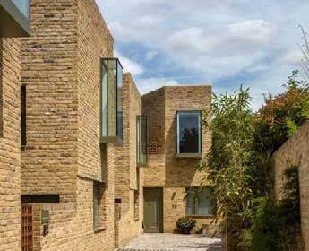
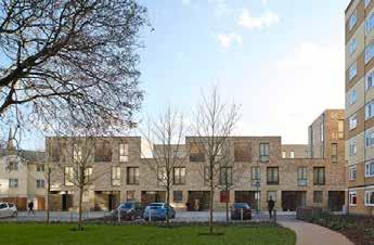
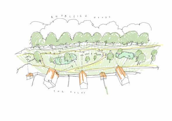
08 Making Places
208
114. Quobleigh Woods
man-made wayfinding
The Folds
Placemaking & Precedent
8.13.14 The Folds is the single largest ‘enclosure’ at One Horton Heath: this means that, deeper within the development, the character of edge enclosure will quickly be lost.
8.13.15 Where ‘new’ perimeters are required at The Lower Acre to create enclosure, The Folds would benefit from more modest secondary enclosure; a mixture of formal and informal quadrangles, courtyards and nodes that are linked by tight ‘rural lane’ movement corridors.
8.13.16 The northern edge sits on falling land towards Quobleigh Woods, and presents an opportunity edge for varied wayfinding and sculptural massing on a quieter boundary.
8.13.17 The southern and eastern boundaries are adjacent to busier community spaces (Central Core and allotments), and would benefit from a character that is closer associated with those areas.
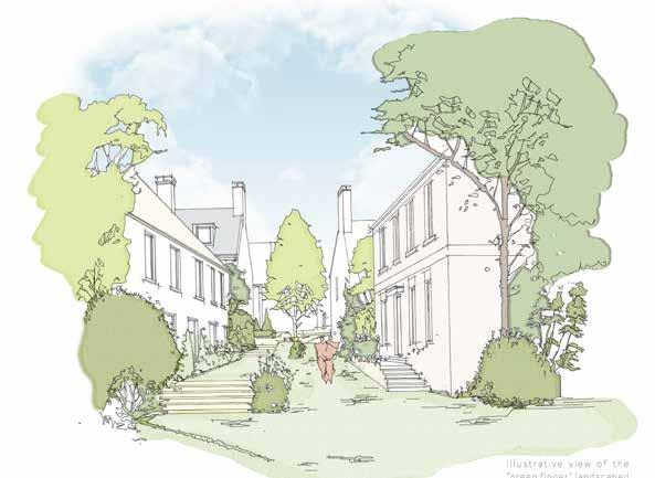
Making Places 08
115. The ‘interior’ areas of The Folds will benefit from irregular types of linear and nodal enclosure
209
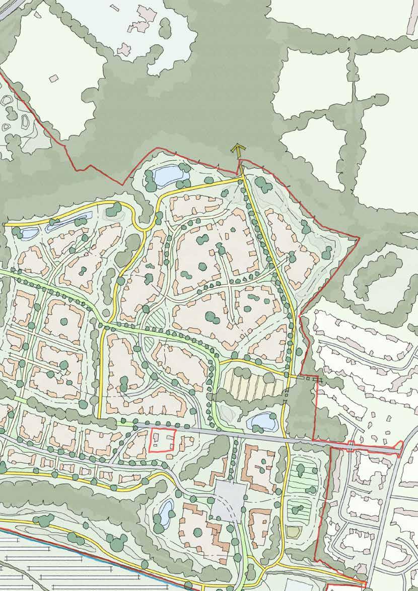
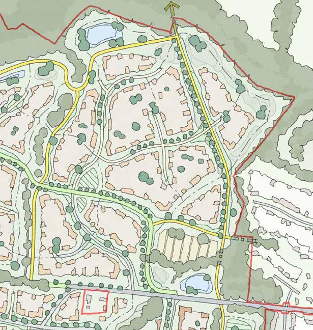
210
The Folds
Sketch Concept Key Principles
8.13.18 The Folds must respond carefully to its shared edge with existing dwellings to the east
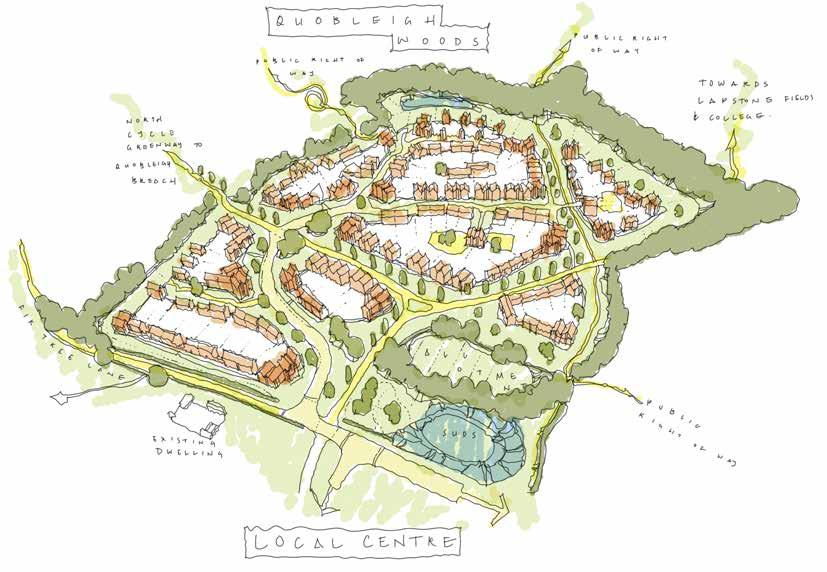
8.13.19 It must respond carefully to the changing character and use of the Fir Tree Lane corridor
8.13.20 It must address sensitively an outlook over Quobleigh Wood / Ponds to the north, as well as the public right of way here
8.13.21 It must connect carefully with The Holme and The Homestal to the west and the Central Core to the south
Making Places 08
211
8.14 Chalcroft Outfarm Works Introduction
8.14.1 The Outfarm Works is a logical and wellconsidered location for the commercial uses it will eventually host.
8.14.2 Nestled in the crook of a belt of Ancient Woodland, the area has the opportunity to respond positively to an exceptionally dense, yet natural, backdrop – Round Copse. At the same time, commercial uses are less likely to give rise to conflicts with that existing natural capital – as these uses are less likely to encourage or allow unwanted human intrusion and encroachment into woodland areas.
8.14.3 Moreover, this location is the closest to the existing commercial and industrial uses at the adjoining Distribution Park – uses which have the potential to be incompatible with residences at close proximity.

8.14.4 In terms of place-making, therefore, the Outfarm Works must play many crucial and interrelated roles – hosting essential commercial uses; separating residential areas from unneighbourly existing uses; shielding irreplaceable habitats – and all the while, contributing to the Southern Gateway into One Horton Heath.
8.14.5 In addition to supporting the ‘gateway,’ the Outfarm Works adjoins the Southern link road. It’s appearance, quality and style are therefore critical if the Works are to complement the neighbouring Lower Acre.

08 Making Places 212 116.
b urne TTS lane e xi ST ing v illage n ew r oundabou T c H alcro FT b u S ine SS a P ark
Aerial View of Chalcroft Outfarm Works
The name “Outfarm Works” seeks to encapsulate what this part of the site will become, whilst ensuring it remains rooted in the design narrative of One Horton Heath. The area is truly ‘outfarm’ – it is one of the more remote parts of the Chalcroft Farmstead, an outlier to its historic host. As ‘works’ implies, the basis of this location is not residential – it is commercial. Whilst the Outfarm Works must coexist and cooperate with the neighbouring residential areas, here is a place to work, innovate and be productive.

Chalcroft Outfarm Works

213 117. Chalcroft Outfarm Works in Context
Access Parameters
Access
Chalcroft Avenue extends along the eastern boundary of the parcel with a main vehicular, pedestrian and cycle access to the site located at the southernmost point of the parcel.
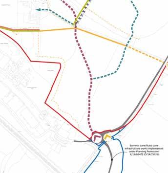
Land Use Parameters

Land Use
Employment (E(g), B2 & B8) plus ancillary E(a), E(b) and Sui Generis Uses. Any B2 uses will be located at least 20m from any C2/C3 uses.
08 Making Places 214
Green Infrastructure Parameters
Green Infrastructure
To the west and south-west of the parcel is informal open space, incorporating SUDS, with existing trees and hedgerows beyond.
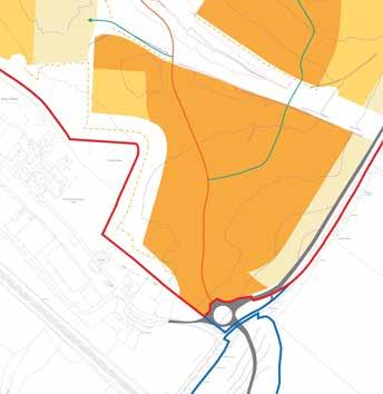
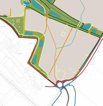
Building Height Parameters
Building Heights
Up to 4 storeys (max ridge height 15m with tolerance of 2m from existing ground levels)
Outfarm Works
Making Places 08 215
Chalcraft Outfarm Works Flexible Parameters
Indicative Character Area
Chalcroft Avenue
Secondary Road
Footpath & Cycle
Existing Road (outside of site)
Existing Mature Trees
Existing Hedgerows
Open Space
Watercourse & SUDS
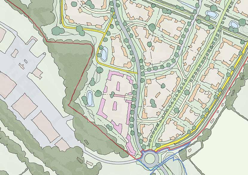
Key Edge
Primary Wayfinding
Secondary Wayfinding
216
118. Strategic Considerations
Strategic Concept
8.14.6 As an area constrained by Chalcroft Avenue on its east and sensitive ecological and vegetative buffers to its west Chalcroft Outfarm Works must present successfully to its edges whilst providing an appropriate internal configuration.
8.14.7 Movement opportunities for cyclists and pedestrians exist along the western edge and also, importantly, as a east-west connection towards Lower Acre. A single vehicular access into the site, which depending on the final use may have to accommodate a range of vehicle sizes, is provided from the southern end of Chalcroft Avenue.
8.14.8 With regard to built form three opportunities for secondary wayfinding buildings are identified and the location of one at the south of the parcel is of the upmost importance as it must work collaboratively with the landmark building on The Lower Acre to form the gateway to One Horton Heath.
8.14.9 The need for a largely continuous frontage along Chalcroft Avenue and on the northern edge is also identified reflecting the fact that the parcel must wear its acoustic responsibilities sensibly recognising its role as a buffer between the existing Distribution Park to the south-west and the proposed residential development to the north and east.
Outfarm Works
Making Places 08 217
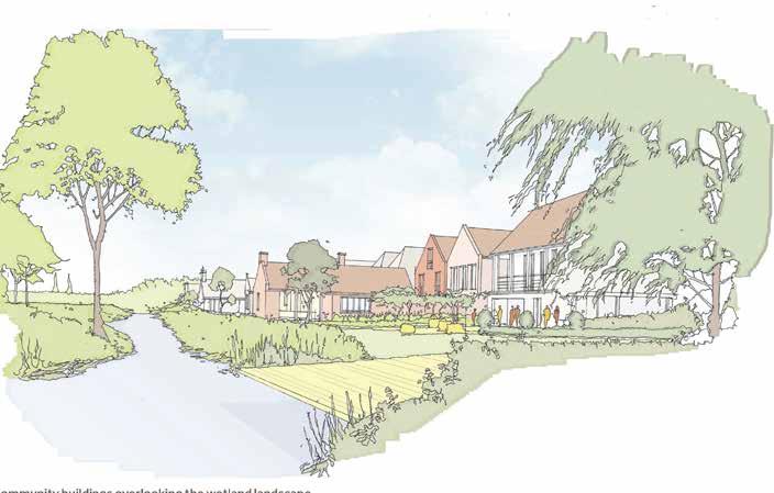
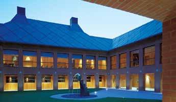
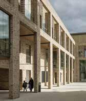
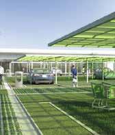

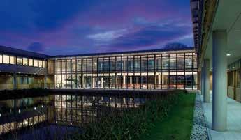
08 Making Places
218
119. The western edge of Chalcroft Outfarm Works could incorporate surface water drainage as placemaking features
Outfarm Works
Placemaking & Precedent
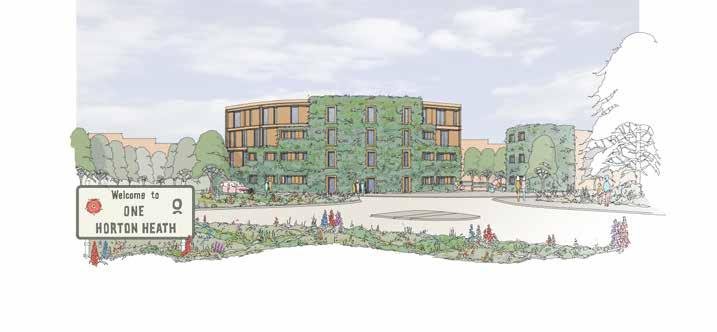
8.14.10 The Outfarm Works forms the western edge of the Southern Gateway composition, and must respond accordingly.
8.14.11 It is also immediately adjacent to The Lower Acre across Chalcroft Avenue.
8.14.12 Therefore, it will need to visually coordinate with approach taken on the southern and western eges of The Lower Acre to ensure an appropriate junction between character areas - whether a definite threhsold, or a softer gradient of character.
8.14.13 The Outfarm Works also edges the woodland buffer to the existing business park; although this is a ‘green’ edge, the land use context suggests a robust approach could be taken here.
Making Places 08
120. Chalcroft Outfarm Works will form part of the Southern Gateway composition
219
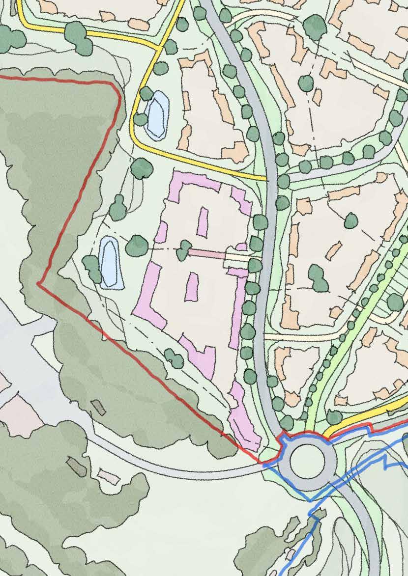
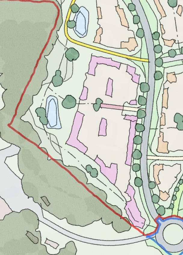
220
Outfarm Works
Sketch Concept Key Principles
8.14.14 Chalcroft Outfarm Works forms part of the Southern Gateway to the entire masterplan, and must respond positively to this placemaking opportunity
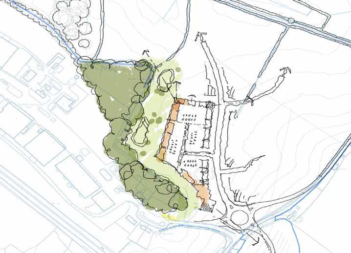
8.14.15 It must respond positively to its shared edge along Burnetts Lane
8.14.16 It must carefully respond to the landscape corridor to the west
8.14.17 It must engage actively with Chalcroft Avenue, which forms a linear character area in its own right
8.14.18 It must respond carefully to The Lower Acre to the east and north, recognising the potential conflict of uses
Making Places 08
221
8.15 Chalcroft Avenue & Cycle Greenway
Introduction
8.15.1 The safe and sustainable movement of people around One Horton Heath is of utmost importance. This comes as a balance of recognising established patterns and modes of movement, and striving to create the framework of a more sustainable future.
8.15.2 Chalcroft Avenue is a direct response to the issues faced in the wider region; it seeks to relieve congestion through the heart of the existing village, and provide a more direct route that is fit-for-purpose.
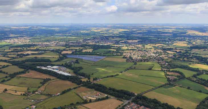
8.15.3 Through One Horton Heath, Chalcroft Avenue is envisaged as an urban cord, consolidating higher density development along much of its length. Rather than relying on signage and enforcement, safe speeds along Chalcroft Avenue will be encouraged by virtue of its alignment and street-side relationship to the proposed residential areas.
8.15.4 Where Chalcroft Avenue serves a dual function as a conduit of wider regional connectivity as well as a site distributor route, the Cycle Greenway serves the dual function of ‘connecting the dots’ - where existing non-vehicular routes cross One Horton Heath - and also creating a clear corridor of movement that prioritises sustainble travel through the site.
8.15.5 The Cycle Greenway connects Burnetts Lane with Allington Lane broadly parallel to Chalcroft Avenue, albeit looping through most of the residential areas to link them directly with the Central Core.
8.15.6 The Cycle Greenway is generally aligned on the most direct route through the various areas of One Horton Heath, as a matter of convenience and priority to encourage greater usage and embed sustainable movement as a genuine alternative to private motor vehicles.
08 Making Places
b
l
121. Aerial View of One Horton Heath showing Chalcroft Avenue & Cycle Greenway
b urne TTS lane a lling Ton lane
ubb
ane r ailway
c H alcro FT a venue
222
c ycle g reenway
Chalcroft Avenue is named for the historic farmstead which it passes in the southern part of the site. The name has been associated with the wider area for hundreds of years, and is a fitting namesake for the important new link road.
The Cycle Greenway is afforded equal importance within the Design Code: where Chalcroft Avenue helps to alleviate wider traffic concerns, the Cycle Greenway puts sustainble movement at the very heart of the One Horton Heath masterplan.

122. Chalcroft Avenue & Cycle Greenway in Context
Chalcroft Avenue & Cycle Greenway
223
q uobleig H b reac H ( n orTH ern g aT eway )
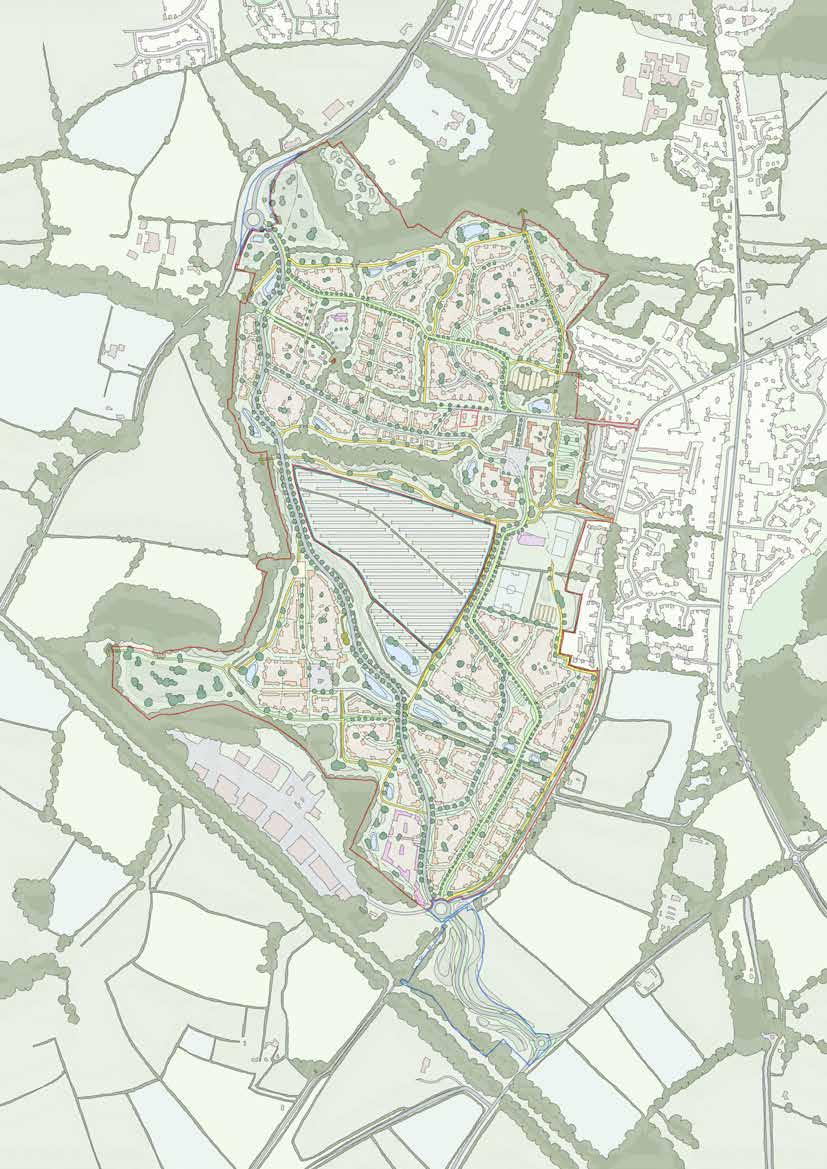
c H alcro FT F arm
c H alcro FT o u TFarm w ork S
T H e l ower a cre (S ou TH ern g aT eway )
224
Chalcroft Avenue
Sketch Concept Key Principles
8.15.7 Chalcroft Avenue is the primary vehicular distributor route through One Horton Heath
8.15.8 It presents a unique opportunity to create a linear place that has consistent design principles all the way through the site, threading through the western range of One Horton Heath.

8.15.9 It will be experienced predominantly by car, and therefore it must work as a place at both macro and micro scales: drivers will experience the entire corridor in just a few minutes, but residents, cyclists and pedestrians will need to be able to enjoy it at a much more ‘local’ granular level.
8.15.10 As a corridor that will accommodate thousands of vehicle movements per day, Chalcroft Avenue has the unique placemaking opportunity of a very robust urban form that will help ‘defend’ the more conventional domestic ‘home zones’ within the residential areas, whilst also offseting the typical dominance of highways engineering solutions.
Making Places 08
225
123. Chalcroft Avenue will rely on a very robust ‘urban’ character that makes the most of the very unqiue placemaking potential of its constraints
q uobleig H b reac H ( n orTH ern g aT eway )
c
T H e l ower a cre (S ou TH ern g aT eway )

S c H ool S P orTS P i Tc H e S
m P loymen T
c en T ral c ore P rimary
e
H alcro FT o u TFarm w ork S
226
Cycle Greenway
Sketch Concept Key Principles
8.15.11 The Cycle Greenway is a very clear physical commitment within the masterplan to the project values of encouraging sustainable movement.
8.15.12 Like Chalcroft Avenue, it runs north-south through the entire masterplan. However, where Chalcroft Avenue is unashamedly a conventional movement corridor, the Cycle Greenway looks to support and prioritise cycling and walking; it is therefore follows a wide looping alignment that connects the residential areas into the heart of the Central Core, Primary School, Sports, Allotments and various Employment areas.
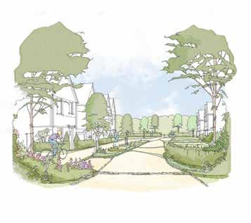
8.15.13 As described in the previous section, Chalcroft Avenue must also work in a way that it can be successfully experienced at a quicker pace via car, likely manifesting as a more consistent architectural character along its length.
8.15.14 In contrast, the Cycle Greenway is a much slower route that - although cutting through most parcels - will benefit from a more diverse character that creates identifiable places within each parcel, as well as across the whole masterplan.
124. The Cycle Greenway, like Chalcroft Avenue, crosses many of the residential areas of the site. Rather than relying on a consistent architectural treatment throughout, this presents the opportunity for the Cycle Greenway to have more eclectic architectural treatments that could be united along a strong landsacpe setting.
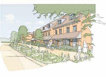
Making Places 08
227


229 09 Detailed Design
“The success of the development will be rooted in the attention to detail that enables the strategic design direction to be delivered in a consistent and highquality method”
09 Detailed Design 230
This section of the Design Code remains a work in progress subject to planning condition
Detailed Design 09 231
This section of the Design Code remains a work in progress subject to planning condition
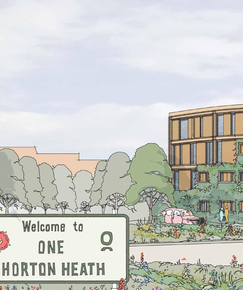


 Cllr Keith House Leader of Eastleigh Borough Council


 18. Fir Tree Farmhouse Eastern Front
20. Fir Tree Farmhouse Northern Front
19. Fir Tree Farmhouse Southern Front


 63. LVIA Viewpoint 1 - View from Blackberry Drive Recreation Ground
64. LVIA Viewpoint 4 - View from PRoW 16 within East Horton Golf Club


