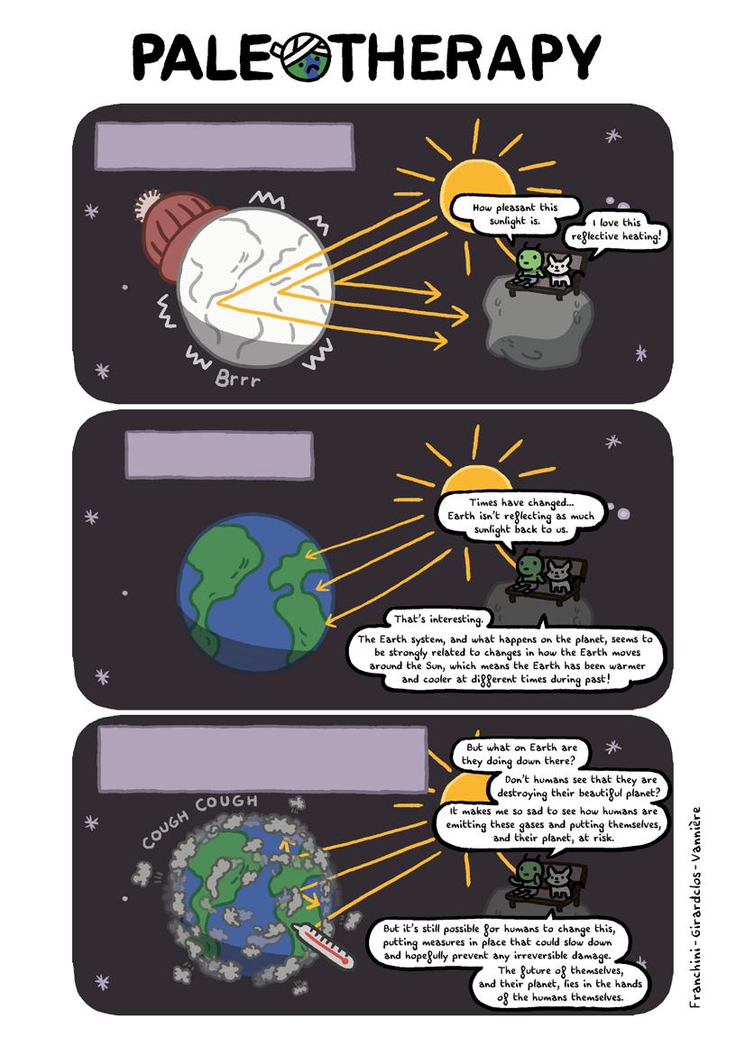
5 minute read
Past global warming in the Basin of Mexico


Past global warming in the Basin of Mexico Rodrigo Martínez-Abarca, Socorro Lozano-García, Antonio Flores-Martínez, Beatriz Ortega-Guerrero and Margarita Caballero
Mexico City is one of the largest cities in the world: more than 20 million people inhabit the city and its metropolitan area. The constant growth in population since 1960, when there were only around 5 million inhabitants, has led to increases in demand for drinking water, the size of the urban area, and the emission of greenhouse gases * into the atmosphere. Consequently, and coupled with global climate warming, the city's meteorological records show that the annual average temperature has risen 1.6°C (2.9ºF) since 1880. The outcomes are already discernible today, e.g. through the extinction of “Ayoloco” in 2018, an iconic glacier located in the Iztaccihuatl volcano, and one of the few in Mexico.
Advertisement
Figure 1.
Left: Location of the Basin of Mexico. The dashed line shows the annual mean position of the Intertropical Convergence Zone. Right: Photograph of Lake Chalco as seen from the west. Behind the lake you can see the Iztaccihuatl (left) and Popocatepetl (right) volcanoes (photo by Socorro Lozano).

Although the current speed of global warming is the highest that it has ever been over the course of human history, increases in global temperature have occurred in the past on longer timescales. Various paleoclimatic records on both hemispheres have preserved evidence of a warm period that occurred about 125 thousand years ago and known as the Last Interglacial.* During the Last Interglacial, global temperature increased by 0.5°C with respect to the pre-industrial* value. In Central America and southwestern North America, it is known that forest communities and precipitation changed dramatically during this period. Yet for Central Mexico, the Last Interglacial has been little studied. Because the Last Interglacial represents one of the most recent warm periods in the Earth’s history, understanding the regional environmental changes undergone during its establishment are key in anticipating possible future scenarios for Mexico City.
Lake Chalco as a time machine
Mexico City is located in the Basin of Mexico (Fig. 1). Rivers extending from the highlands produced a system of lakes: Zumpango, Xaltocan, Texcoco, Xochimilco and Chalco. However, the lakes were drained in later
centuries and only small remnants of water are preserved. Lake Chalco, southeast of the Mexico Basin, is a high-altitude tropical water body (about 2200 meters or 7200 ft above sea level) located on the northern edge of the American tropics. Lake Chalco acts as a sediment trap where all the particles produced outside and inside the lake are deposited. The region is influenced heavily by the climate: in particular, the amount of rain is promoted by the location of the Intertropical Convergence Zone, a band of clouds encircling Earth near the Equator that provides humidity during the summer to Central Mexico. The Intertropical Convergence Zone has changed its average position during the last few million years, causing fluctuations in past rain amounts.
In 2008, sediment cores were drilled to a depth of 122 m (400 ft) southeast of Lake Chalco. Subsequent studies showed that the sediments in the core include clays rich in plant remains such as roots, leaves, and wood (organic matter), minerals, fossils such as micro-crustaceans (ostracods) or microalgae (diatoms), carbonate layers, and volcanic ash. The age of the sediments was obtained by dating tiny pieces of wood and pollen found at specific depths within the sediments. Based on these data, it was estimated that the Lake Chalco sedimentary record covers the last 140 thousand years: the oldest (that is, the deepest) of these sediments are older than the Last Interglacial!
Reconstructing the Last Interglacial
The analysis of geochemistry in Chalco’s sediments, as well as the study of microscopic algae (diatoms), pollen from surrounding vegetation, and carbonized particles produced during natural fires (Fig. 2), has provided paleoenvironmental information all the way back to the glacial* period preceding the Last Interglacial (125 thousand years ago). Figure 2. Some of the indicators found in Lake Chalco sediments and used during the environmental reconstruction.
Figure 3. Image of sediments deposited during the Penultimate Glacial Period* in Lake Chalco.


At the end of the Penultimate Glacial Period* , mountain glaciers were lowered by about 1000 m compared to today. The reconstructions suggest that Lake Chalco was a deep, nutrient-rich lake filled with freshwater. Seasons were well defined, as witnessed by the presence of thin and bright sediment layers composed of diatoms (Fig. 3). Also, this was a wet period with high freshwater flowing from the rivers into the lake. The vegetation was composed of large grassland areas. This type of vegetation results in little plant matter to burn, which is why fires were not as frequent (Fig. 4).
During the Last Interglacial, the scenario changed dramatically when compared to the preceding glacial period. Lake Chalco became a shallow, alkaline lake characterized by high evaporation. Riverine runoff decreased due to low humidity in the region. Grasslands still dominated the vegetation; however, forest communities and fire activity increased (Fig. 4). There is no way to measure paleotemperature in this region directly yet, but it is possible that the increase in temperature may have been larger than the current warming. The decrease in precipitation during the Last Interglacial has been associated with the southward migration of the Intertropical Convergence Zone towards the Southern Hemisphere in response to changes in the Earth’s orbit.
The Lake Chalco drilling provides the first record in Mexico that allows us to understand the climate and environmental changes during this past warm period. The study of the sediments of Lake Chalco, one of the oldest lakes in Mexico, will continue providing key information on future climatic scenarios for Mexico City. Open questions remain, such as the speed of change and the resilience of ecosystems to warming. These are critical uncertainties for the urban and rural communities that face them. Figure 4. Reconstruction of the landscape in Lake Chalco during the Penultimate Glacial (130 thousand years ago), the Last Interglacial (125 thousand years ago) and the current state.