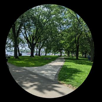
"Coronation Park is a great place for people to visit during the summer months due to the amount of openness of the overall space design of the park. There is an open built environment that gives off a welcoming energy which makes the area feel inviting for what it has to offer."
Study Area: Coronation Park
Major Project: Summative Analytical Study
By: Somdat Tularam
Submitted to: Robert McKaye
BLDG57486 Mobility & Wayfinding Systems
August 15th 2023
Content
Site Overview & Path of Travel P 2,3
Sipporting Documentation P 4,5
Mobility Overlay & Observations P 6,8
Wayfinding Overlay & Observations P 9,10
Mental Map & Mental Map Reflection P 11,12
Proposed Recommendations P 13,14
Coronation ParkAnalytical Study | 3
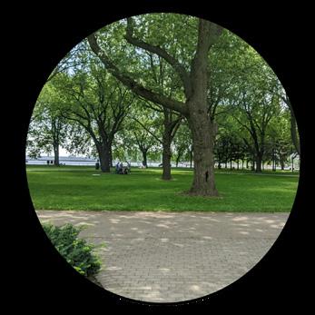
Fg. Coronation ParkSomdat At the Cntre of the Park
Introduction to Study Area
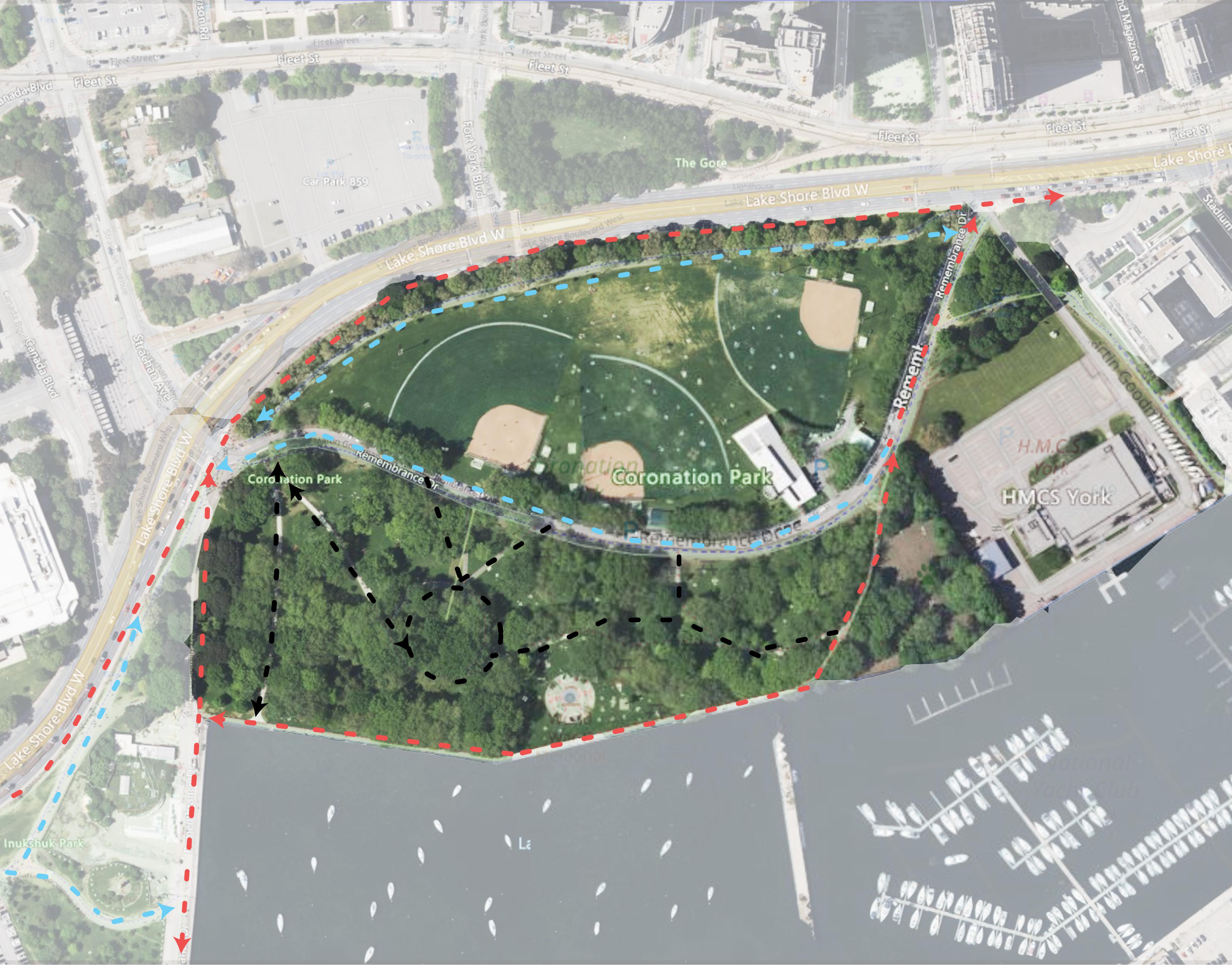
Site Overview & Path of Travel
As a person who enjoys being outdoors and visiting many parks around Ontario, I ended up choosing a park that is located near the waterfront in Toronto. This site is very close to The Budweiser Stage as well as The Exhibition Place. It’s in an area where a lot of people are constantly making use of this space during the summer months.
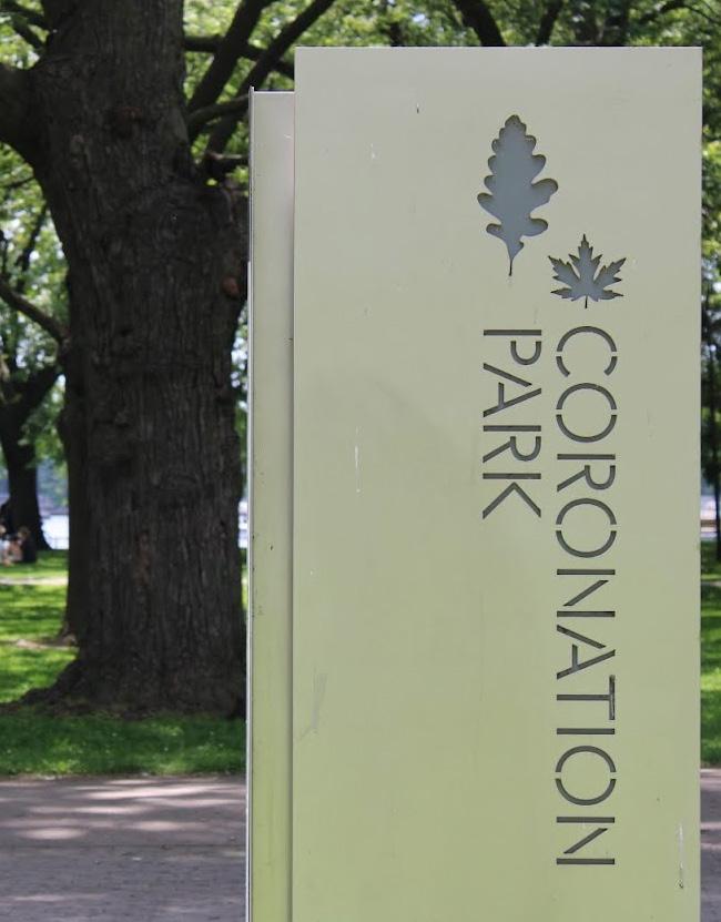
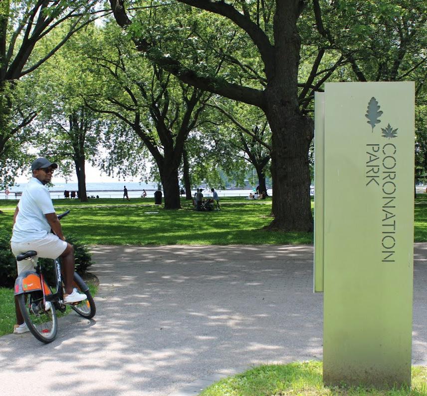
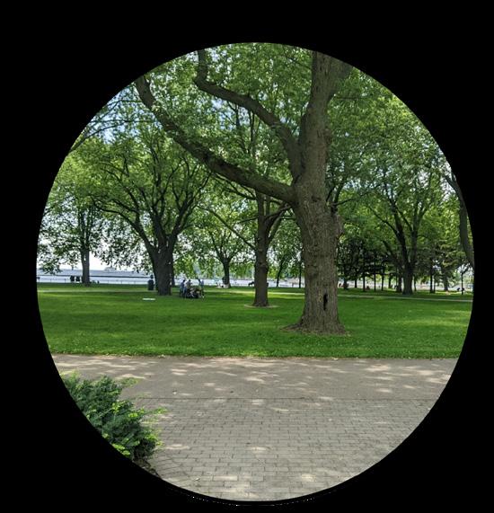
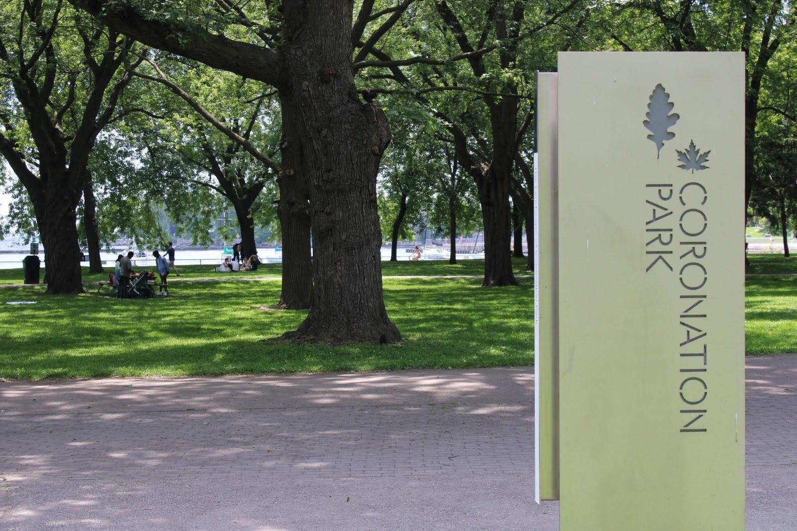
The name of the site is called “Coronation Park”, this is a lovely park to visit if you have never been to a park by a water body. At this site in particular there are a lot of tree canopies which provide efficient shading all around, fun fact for every tree that is placed there are markings on a slate to represent the history of what people had to go through back when the world war was happening. A lot of history is behind this park as well, which makes it a unique site to do my case study on since over the past months I’ve been in the area every week due to having to attend events within the area.
Another reason why I choose this area as my study area is because it’s a place I would normally have visited back in the day when my high school had baseball games, we would also have tournaments many times at this location making use of one of the rings, so it’s more of a memory location that’s why I choose it. Plus I know the area very well in terms of how it was back in the day and how popular it got over the years as more people spent more time outdoors at such parks.
Coronation ParkAnalytical Study | 5
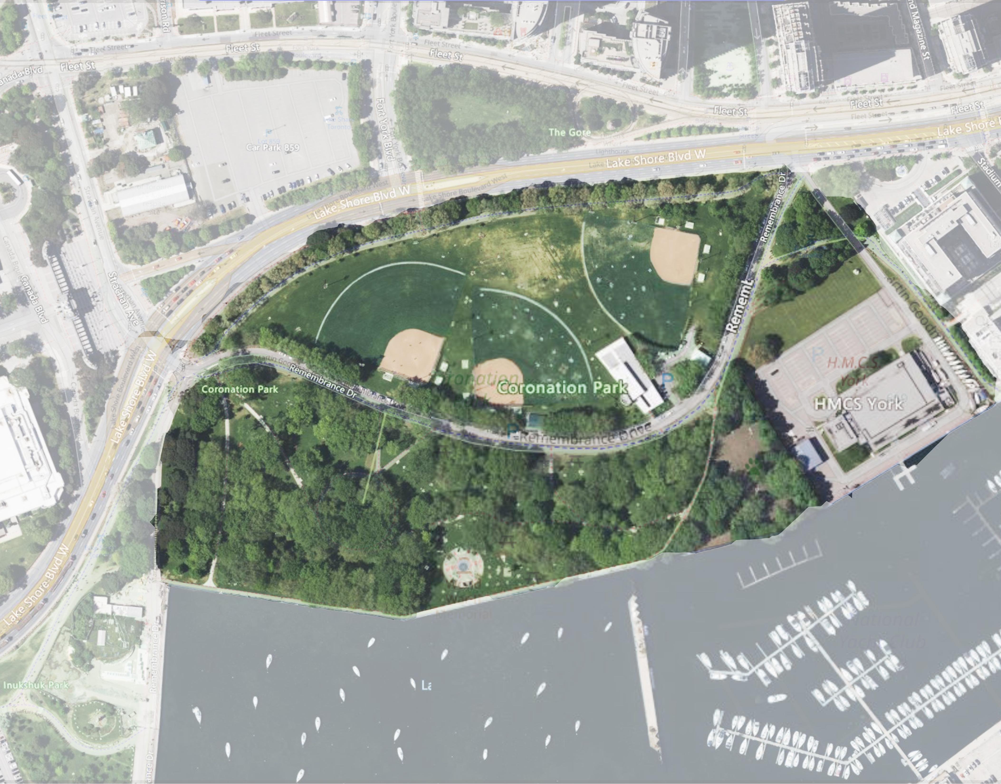
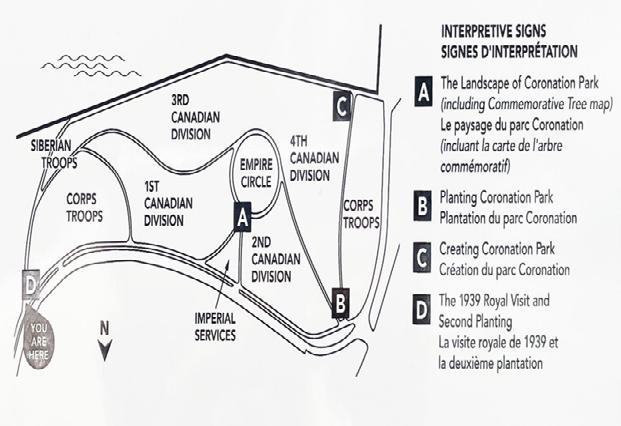
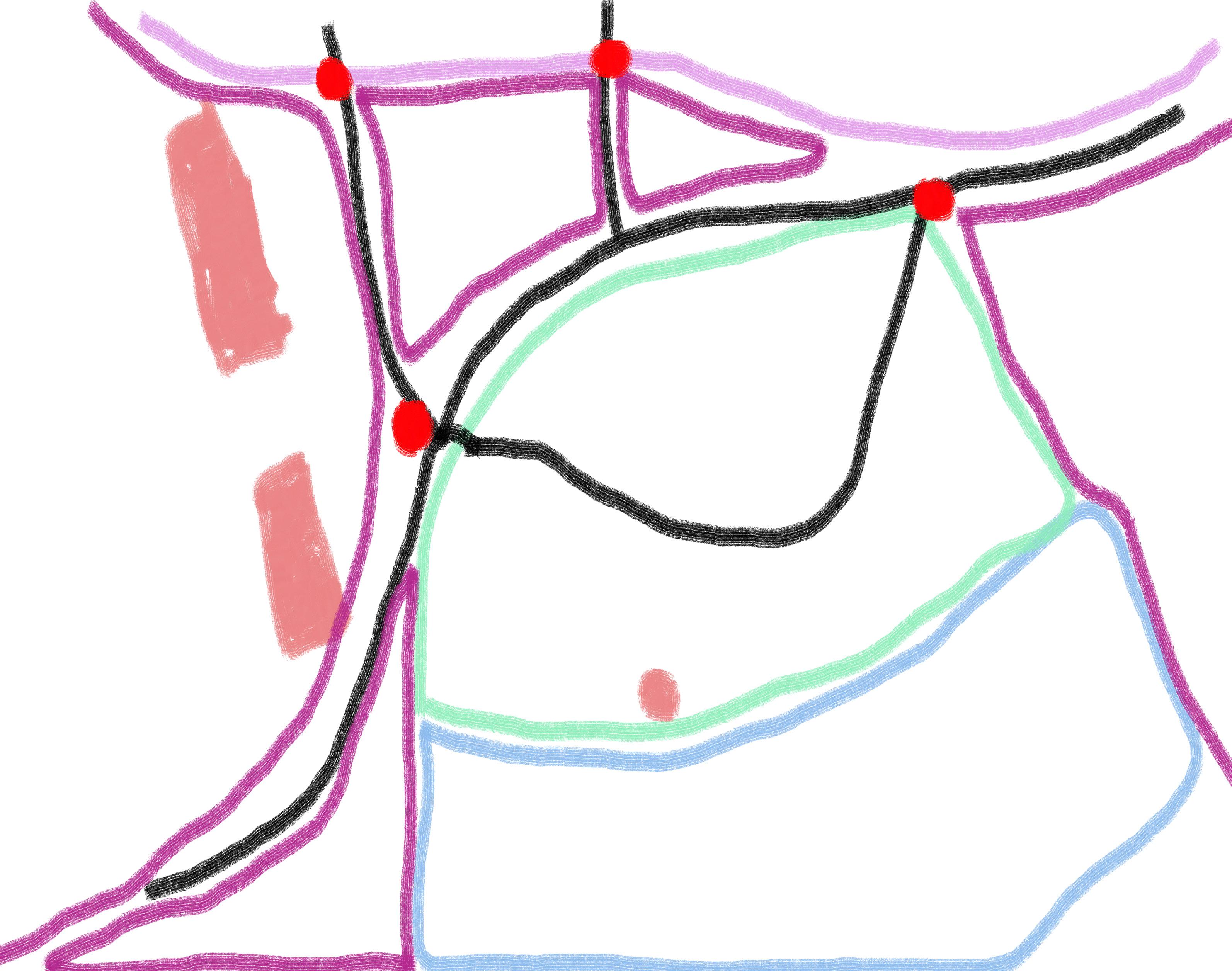
Coronation Park
Legend - Paths of Travel Primary Travel Paths Secondary Travel Paths Tertiary Travel Paths Fg.Site Overview & Path of Travel
Introduction to Study Area
Coronation Park
Supporting Documenttation
Coronation Park - Approaching Dog Park
This is an area where people can bring their dogs to get some sort of exercise
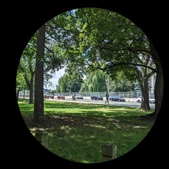
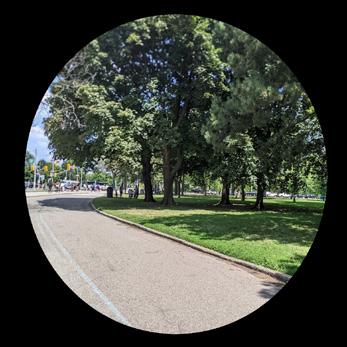
Coronation Park - Centre of Park
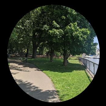
Area is at the centre of the Park overlooking the waterfront shore
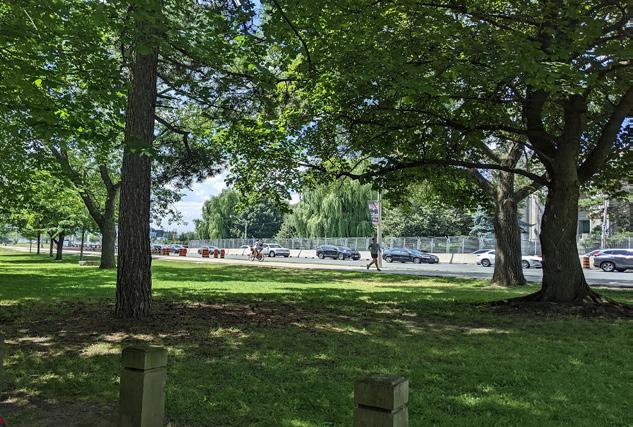
Coronation Park - Look at LakeShore
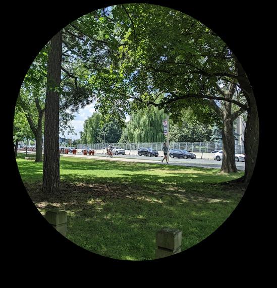
This area is often busy during the week with cars zooming by
Coronation Park - Approaching Central Area
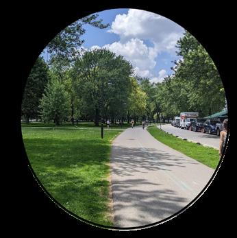
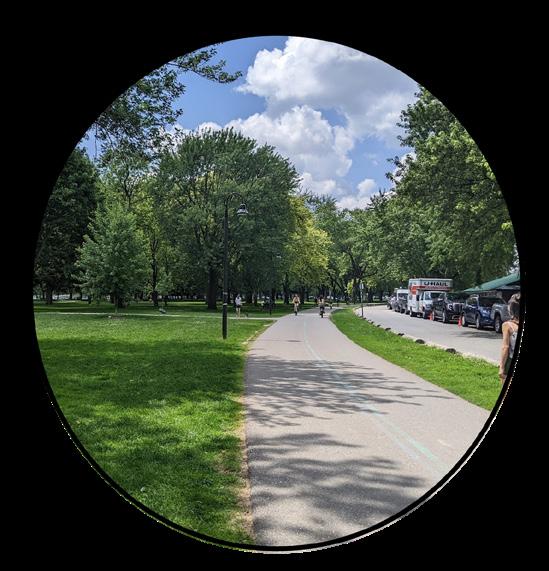
This is a section of the park where one side is filled with large trees and another side with baseball diamonds
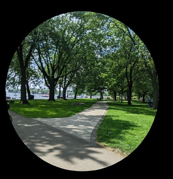
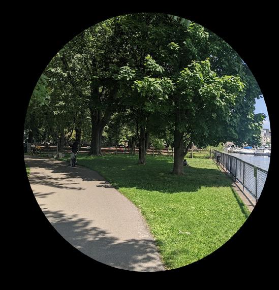
Coronation Park - Looking out to Waterfront
People use this are to sit back and relax while enjoying the view of the great view of Lake of Ontario
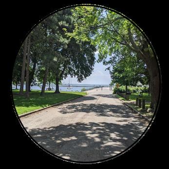
Coronation Park - Approaching Waterfront
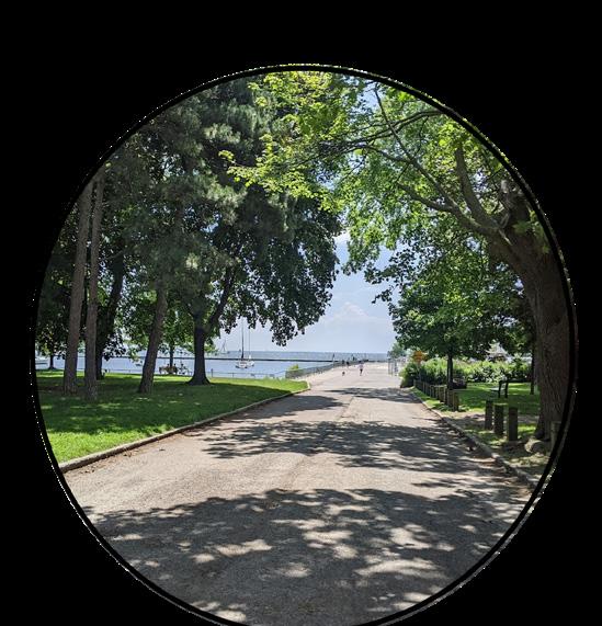
Main path of how people travel to the connecting paths nearby on foot or by bikes
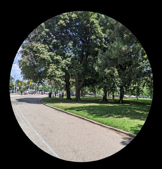
Coronation Park - Approaching Main Entrance
Main pathway of the park which passes a stop light for people visting Exhibition Place
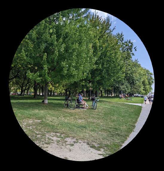
Coronation Park - Heart of Park
This area has lots of seating that has been placed based on the shape of the pathways, lots of animal feeding in this area
Coronation ParkAnalytical Study | 7
Legend
1.
2.
3.
4.
5/6 7.
8.
4. Coronation Park - Approaching Dog Park
7. Coronation Park - Looking out to Waterfront
5. Coronation Park - Heart of Park
1. Coronation Park - Approaching Main Entrance
8. Coronation Park - Approaching Waterfront
3. Coronation Park - Approaching Central Area
2. Coronation Park - Look at LakeShore
6. Coronation Park - Centre of Park
Fg. Supporting Documenttation for Coronation Park
Analysis of Study Area
Coronation Park
Mobility Overlay & Observations
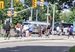
When visiting Coronation Park users should be aware that the main pathways in and out of the park are to be shared with cyclists. And if you are someone who is cycling in the part be sure to know which side to bike on since it can cause serious issues
The area has been designed in a way that works for both people who would want to walk the area or even use a rentable bike or even their own to get around nicely and smoothly. Around the site, all the pathways are wide enough to support the amount of people that pass through every day. There are accessible curbs which help people to get up on the walking pathways, mainly at crossing intersections. Along with that, there is a buffer zone from the pathways to the road which gives a sense of safety for both types of users on the outskirts of the park along the streets edge.
In terms of Mobility Signage for the site, there is a good amount of signs which show the speed limit of the road that runs through the site along with what you can and can't do in the park. An example of this would be what you can do if you bring your dog there, this would be to ensure that it's on a leash and also pick up after your dog has done its business. There are also arrow signs in place to direct users where they can turn and illustrate if it’s a one-way street or not.
For Mobility Transportation networks there is also a local streetcar that passes by the site just north of the park, there is also a stop near the intersection of Lakeshore Blvd & Strachan Ave which leads to the Exhibition GO station Terminal.

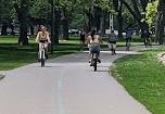
There are also dedicated bike lanes along the street on Strachan which leads into the park and continues on the pathways of the park aswell with a line separation of both sides to help people distinguish which side to be on.
Coronation ParkAnalytical Study | 9
Legend Transit Connection Routes Accessible Crossing Curbs Cycling Infrastructure Routes Transit Stops Dedicated Street Bike Lanes
Fg. Transit Connection & Accessible Curbs
Fg. Seperation of Spaces
Fg. Park Signage
Fg. Cycling Infrastructure
Fg. Mobility Overlay & Observations Map
Analysis of Study Area
Coronation Park
Wayfinding Overlay & Observations
We all know getting around any place you’re unfamiliar with can be tricky even going to a place which you may have visited a long time back but things have changed since then which is why having different types of signage is very beneficial for any place people end up visiting.
At the Coronation Park, there are lots of signage when heading towards the main entrance of the park, these signs help people navigate and plan out how they will maneuver throughout the space.
When at the part there are lots of different so-called Landmarkings that people can use to help guide themselves back to where they originally started. Since this site is near The Exhibition Place and near Budweiser Stage or even the Waterfront of Lake Ontario these are small things that can help people guide themselves when they are walking along the pathways of Coronation Park.
When walking along the fenced-off waterfront, people enjoy the view of the docking zone of the boats of Lake Ontario that is close to Coronation Park, the open view onto the lake is very spectacular like when there are boats hosting events on their yachts and partying loudly while entertaining those in the green pockets of the park. Many people who live in the area own dogs would take their dogs to the dog park that’s located within proximity to the park.
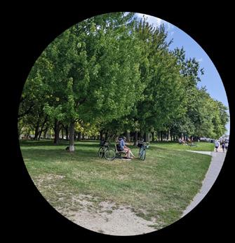
There is also plenty of seating benches that are located along many paths of the site which allows users to relax and enjoy the space. People would also go to the area and set up picnicrelated furniture to enjoy the day at the park.
Coronation ParkAnalytical Study | 11
Legend
City-Operated maps Line-of-sight Landmarks Directional Signage Line of Sight
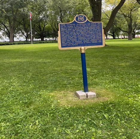
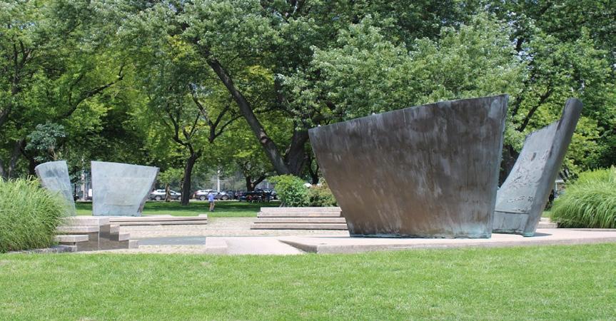
Fg. Victory Peace Monument Fg. Monument Plaque Placement
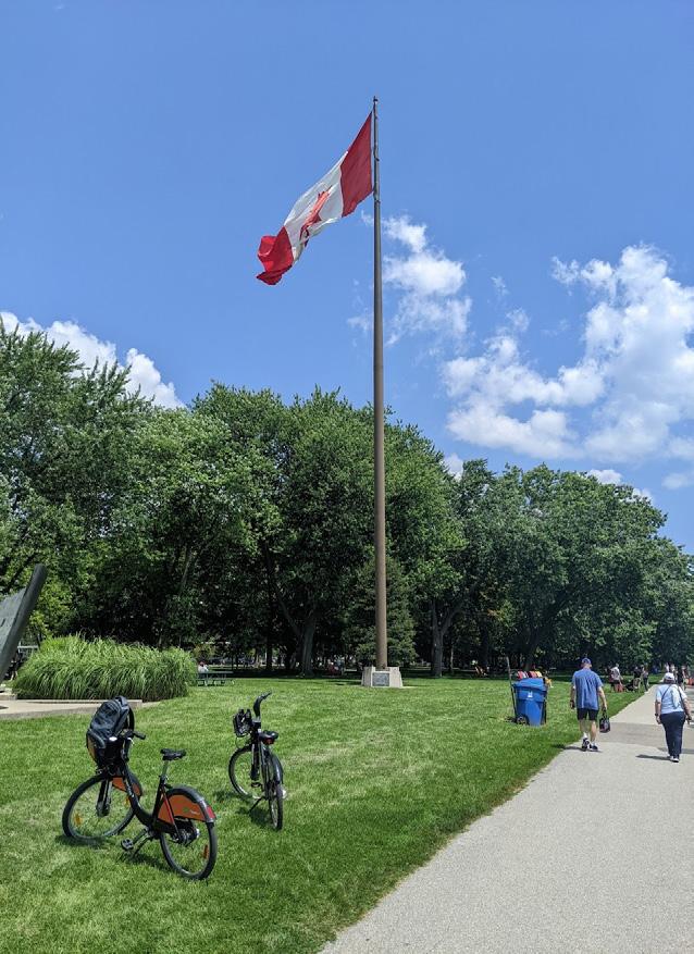
Fg. Canadian Flag used as Landmark
Fg. Site Map
Fg. Wayfinding Overlay & Observations
`
Interpretive Reflection
Coronation Park
Mental Map & Mental Map Reflection
Creating a mental map could be sometimes difficult for people to imagine even though they have been to that space many times. If you were to ask me what this map represents or why was it drawn the way it was drawn I’ll tell you why.
A “Mental Map” is something that we have drawn in our minds which helps us guide ourselves to navigate around the given area that we are exploring. The way how the map was drawn out was in different sections where the roads would be the dividers for the given districts in the space. The green park space and the water body are two separate regions on their own. Then you have your busy nodes where a lot happens throughout the day, at these nodes where people do a lot of crossing with both vehicles, by foot even by transit and bikes.
Important features of the maps would be the known landmarks that are located in the Park that I chose, the reason why it's important is it’s a great way to find objects which can help people to identify if they were to get lost at any point during their journey.
The map itself shows a great representation of what the site is but it doesn’t show interesting facts about a person, why? Good question, you can't get interesting facts about a person unless they are very creative with their drawings and as someone who isn't the best at drawing that isn’t me, But what the map does show is that I have a good memory of the space when it comes to mapping the area based on what was remembered during the time I was there.
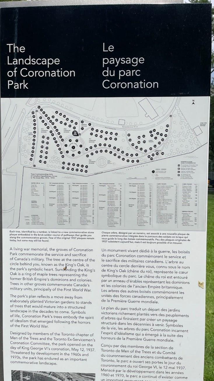
There may or may not be black spaces on my map. There will always be black space on a mental type of map why, because it's not supposed to be in so much detail it supposes to show the generalization of that space. These black-white areas have a lot of detail that would need to be included to make it look nice, this would include adding 130 trees to the map along with proper pathways and a lot more to get a better understanding of what's going on
Well since I’m the type of person to remember most places that I have visited before and ones that I've been around a lot recently it's very easy to plan out the space from when you arrive to when you are about the leave. It’s more of the Formal Wayfinding systems which had bits of help but it’s a mix of both which had an impact on the making of the mental map drawing. But it does tell the story of what the space is.
When getting to the Park I drove from Brampton with my car and then parked in the Green Parking lot which is located close to the Bentway. Then Walked to the site on foot, only a few times I took the Ebikes to get to the site but that was me just testing the bike. Transportation has not affected the design of the mental map.
Coronation ParkAnalytical Study | 13
Legend
Districts Zones Waterfront with Lake Ontario Roadways & Pathways Coronation Park Boundary Landmarks Nodes Fg. Mental Map & Mental Map Reflection
Urban Design Recommendations
Coronation Park
Proposed Recommendations
Taking a journey back through this summative report, there were talks about different aspects when it came to the overall site and what were its wayfinding system that we're currently present along with mobility systems that were in place to support the amount of people in the general area. There were also talks about a creation of a mental map based on what the person has experienced when visiting that space, this was drawn out very simply and was labelled well enough for someone to get a good understanding of what going on.
How about this, let's think about what can be added to this park to make it an even a better experience for someone who may not know the area very well. I even do get lost a few times when I get there by car since most intersections look the same based on how they are designed but without the signs then that would have been a big issue. In terms of the overall required signage and wayfinding systems of this space, there isn’t a lot needed due to the openness of the park. If you were to get lost it would probably be during the night time which leads into the nest section.
One of the recommendations for this space on improvements or ways to improve one experience would be to include more lighting, there are a lot of dark spaces throughout the park during the night and then some of the lights don’t even work at least for the times I’ve been there. Have an implementation of smart lighting that uses solar technology and current to power itself.
Doing this would give the area a better sense of belonging and make people feel more safe during dusk times and at night. The Park itself is a well-known park in Toronto so another suggestion would be to maybe have a map that’s more interactive which allows users to pick frequent destinations and it would show them how to get there. Would be so helpful for newcomers to the park or even within that general area. These small adjustments would be a big impact once people start to discover them and make use of it, which would improve their overall experience which would bring them back to that area in the future.
Another option would be to redo the paint that is currently there on the pathways, some areas it very faded or don’t even have it at all. Helps people to distinguish where to be on the sidewalk either by walking or cycling down the pathways. Cause if one person just suddenly stops while riding their bike there may be an issue with a backup of cyclists being angry at you having to weave into incoming bikers on the other side. Maybe have a pullover section where people can stop and fix themselves and then carry on with their day.
But overall the park has been designed in a way that works and even if there were major complications it will still work the park is a great place to visit and explore the openness that connects you to nature on a deeper level.
Coronation ParkAnalytical Study | 15
Fg. Coronation Park near the centre
