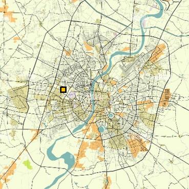
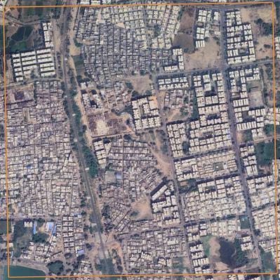
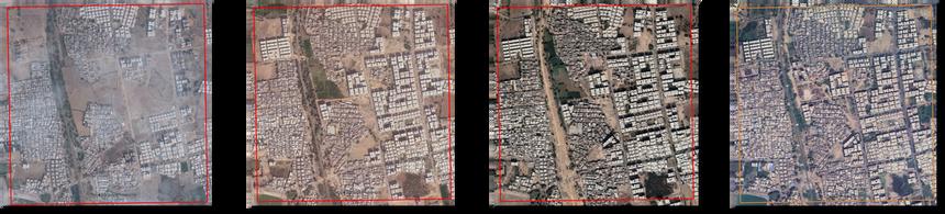
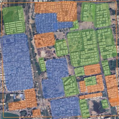
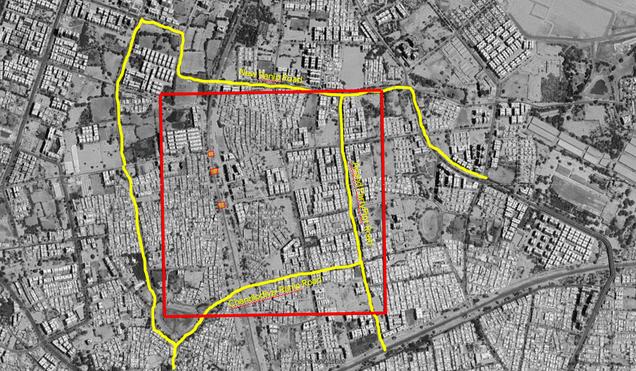
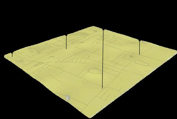
The precinct is located between Chandlodiya Ward in the Southwest and Ranip Ward in the Northwest , covering an area of 1 km by 1 km for study purpose.
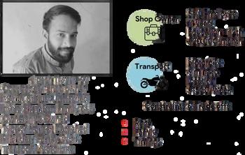
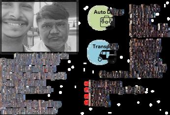
The Auto Driver took the route which was different from the one that I usually take to go to my precinct. The driver wasn’t following traffic rules much. On the way the construction of new flyover was happening which makes most of the transport to utilize the service road which makes traffic congestions. Later he took the shortcut to reach to the destination instead of main road.
Ranip has experienced more development of high-rise buildings compared to the Chandlodiya, which has also seen a loss of vegetation and open spaces in Ranip have been made for future development.
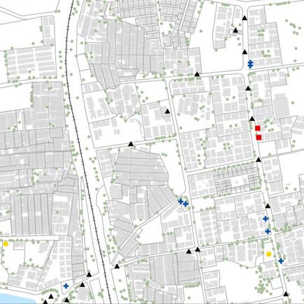
LANDMARKS
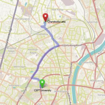
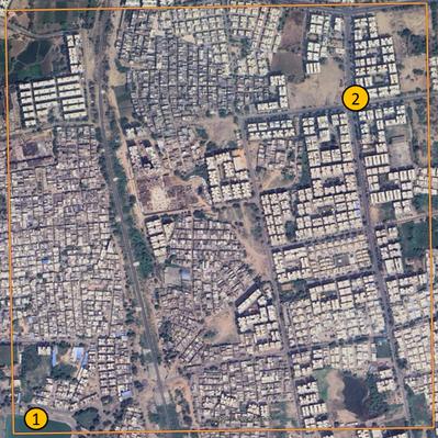
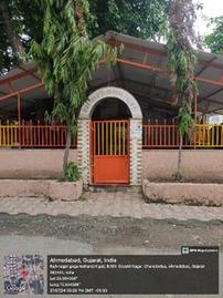
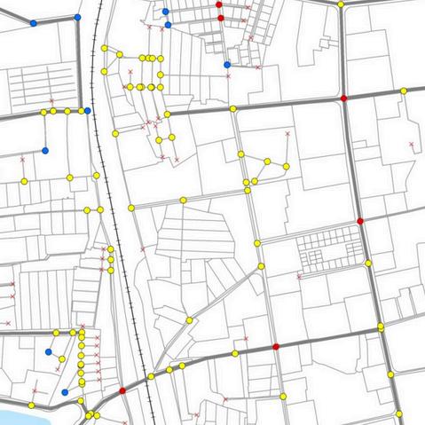
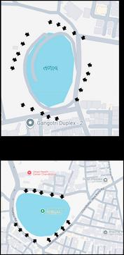
Through the observations, we got to know that there are two main landmark in the precinct. Chandlodiya Lake 1 Manki Chowk 2.
PATTERN
OBSERVATIONS
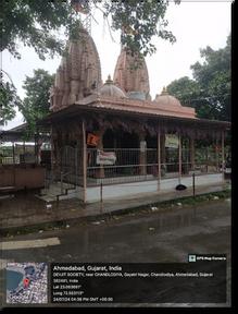
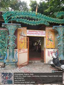
As per observation, Chandlodiya have temples spread out at multiple locations.
Ranip have both developed and underdeveloped areas and mostly have structures like G+2 and G+3 Apartments
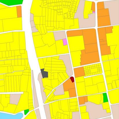
TYPES OF GOODS
Manki Circle is considered as one of the historical landmarks.
Ranip have mostly of Course Grained Pattern followed by Mixed Grained and Fine Grained.
During the observation, we got to know that the most of the goods in the precinct are Public Goods followed by Common Goods. Private and Club Goods are minimal in the precinct.
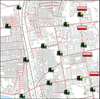
CONNECTIVITY
TYPES OF TRANSPORT IN RANIP AND CHANDLODIYA
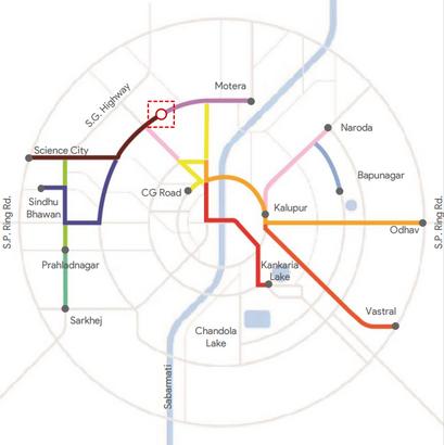
SCHEMATIC PUBLIC TRANSPORT ROUTE
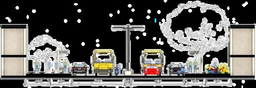
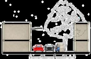
Many residents rely on personal vehicles including cars and two-wheelers.
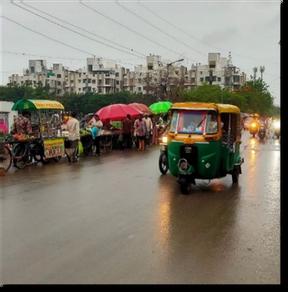
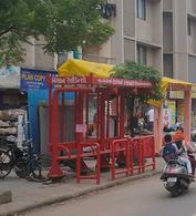
Autorickshaws are very popular and widely used mode for medium distances in the precinct.
The Ahmedabad Municipal Transport Services (AMTS) provide coverage across New Ranip.
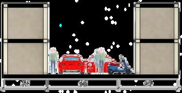
SHARED MOBILITY MODE
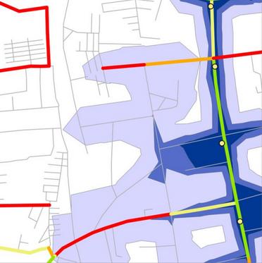
Total Number of AMTS Stops = 5
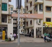
Aalok Residency and Nishan Residency are considered to be the prominent stops.
As per analysis, 6.6% comes upto 2 mins catchment area whereas 1.2% comes within 2-5 mins catchment area and 23% comes within 5-10 mins.
PERCEPTION ON PUBLIC TRANSPORT
Public Transport on an average takes 2.7 times longer than the private mode for traveling but also costs on an average of 0.22 times more than that of private mode.
From the survey, people prefer more private transport rather than public transport because of Accessibility, Comfort and Safety.
STUDENT CODE : PFP24383
Nishan Residency
Aalok Residency
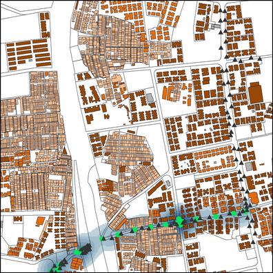
STREETS OF RANIP AND CHANDLODIYA
HIERARCHY
Further continuation, we got to know that 94.13% of roads were found to be Local Roads while only 5.87% of roads were Collector Roads. Further more calculation, we got 0.68 as CNR (Connected Node Ratio) and 1.41 as LNR (Link Node Ratio).
WALKABILITY
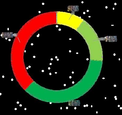
Later we got to know that 52.6% of the streets are very poor and poor walkability and only 7.4% are in very good conditions of streets. Furthermore, 7.4% of the streets have footpaths width more than 1.5m on both sides.
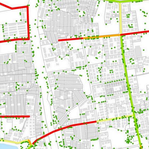
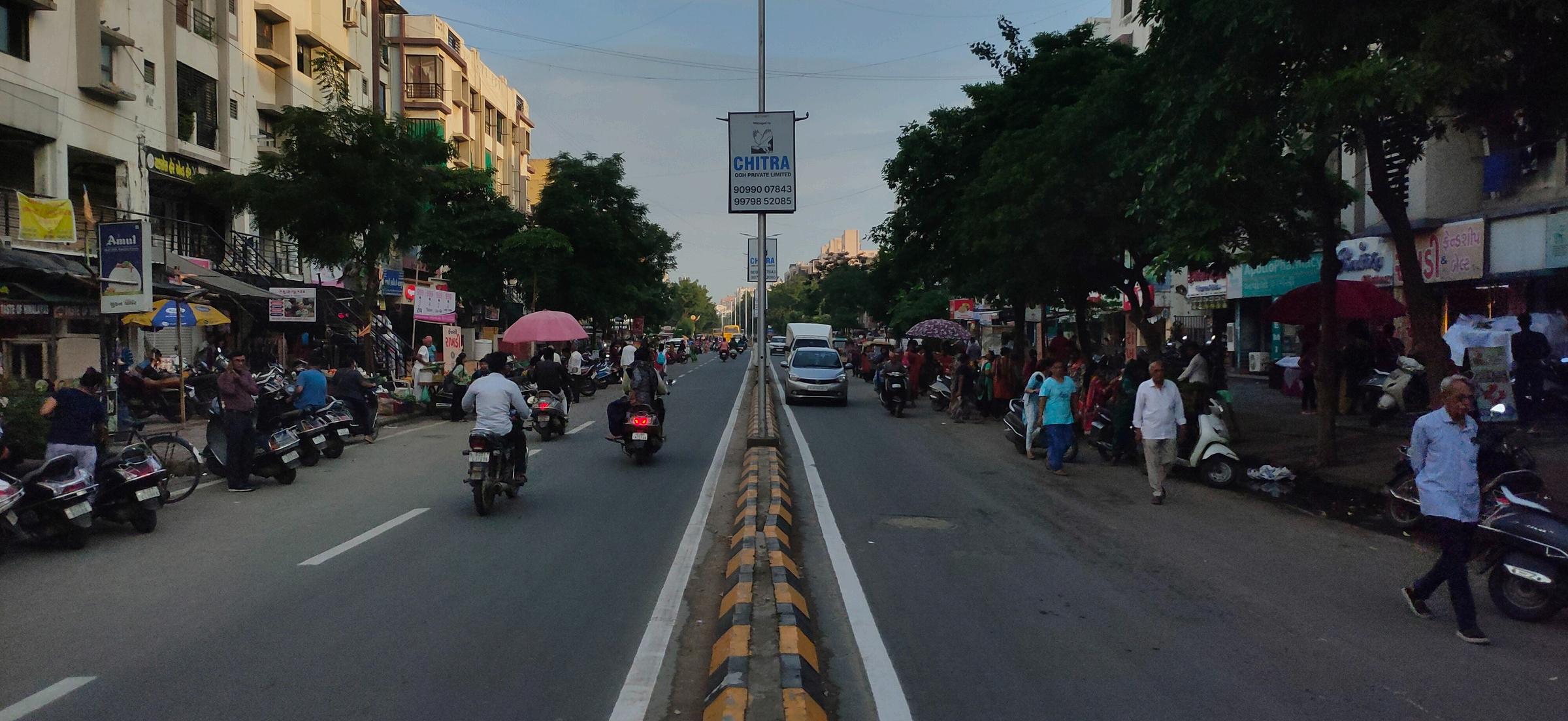
Even though Chandlodiya-New Ranip Road is a collector road, heavy vehicles can’t have access so they have to take the new Ranip Road route.
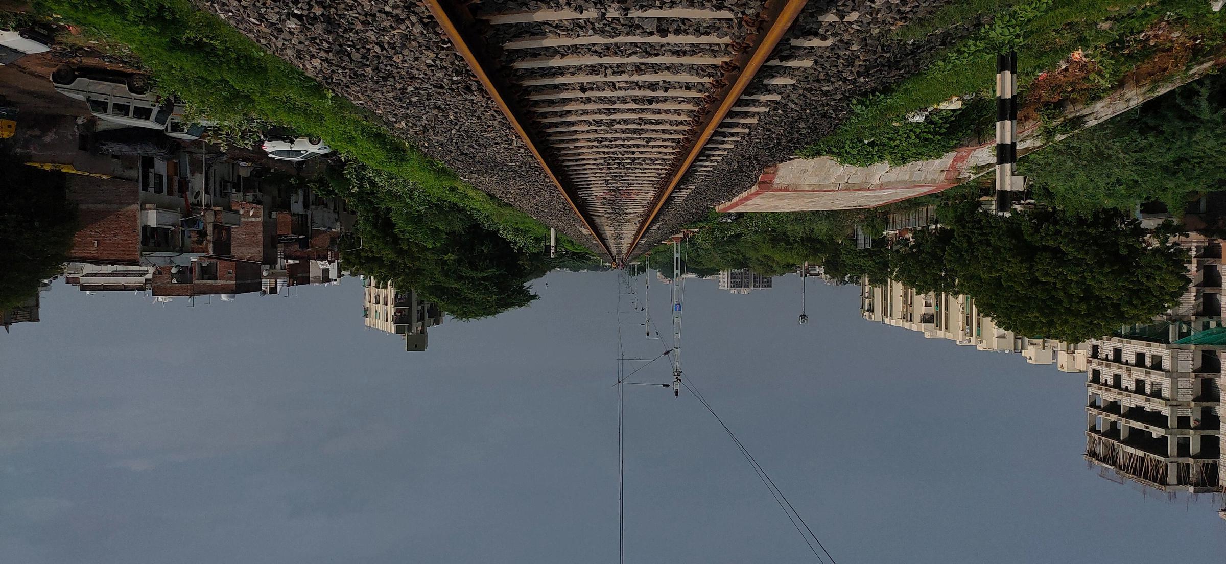
Also we got to know that people have to cross the railway line if they wants to reach early to the other side.
Pathway to Cross
Thorough study of the streets, we got to know that only 36% of the roads are walkable but 38% are not walkable.
STUDENT CODE : PFP24383
Chandlodiya Lake
Chandlodiya-New Ranip Road
Manki Chowk
Chandlodiya-New Ranip Road
ABOUT THE LAND
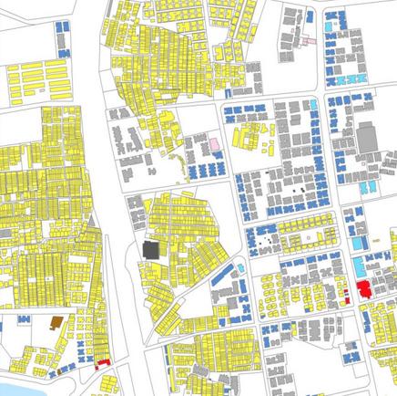
LAND USE
Upon studying, we got to know that 62% of the land is utilized for Residential followed by Vacant (14%), Mixed-Use (11%), Roads (11%), Waterbody, Public Utilities and Open Space (1% each).
ACCESSIBILITY
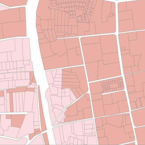
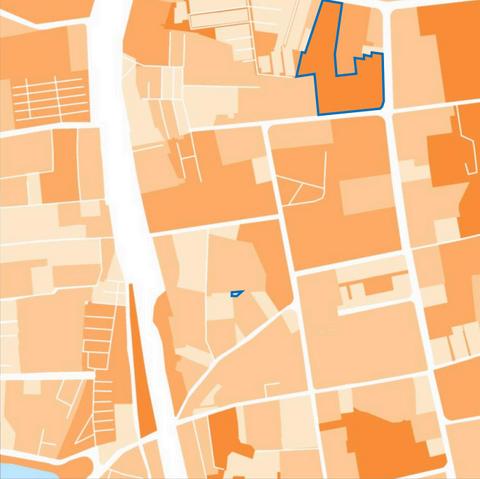
LAND VALUE
Through the survey, we got to know that 38% of the land is getting No Access while 44% of the land gets Regulated Access and the remaining 18% of the land gets open access.
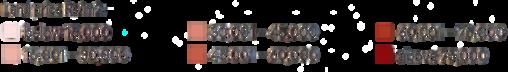
Upon studying, we got to know that Rs 20,899/comes to be an average land value in the precinct in which Rs 14,000/- comes to be the lowest land value and Rs 25,000/- to be the highest land value having the average market price multiplier of 2x.
BLOCK AND WALKABILITY
193m is calculated as Average Block Perimeter from which 888m is the highest block perimeter which takes about 11 minutes to cover whereas whereas 45m is found to be the lowest block perimeter which takes about 2 minutes to cover.
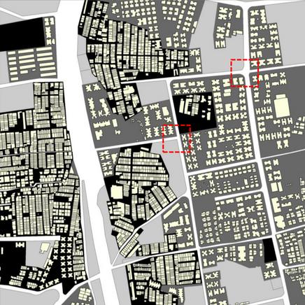
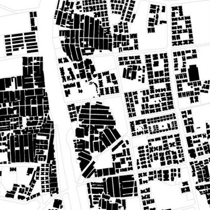
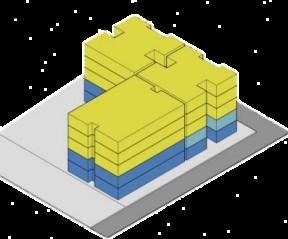
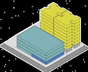
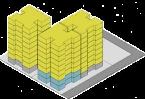
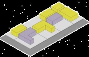
BUILT FORM
BUILT VS UNBUILT SPACES
Through the survey, we got to know that 37% of total space is built while 63% is left unbuilt. In those 63% unbuilt spaces, 24% are Vacant spaces, 2% are Open Spaces and 74% are streets.
BUILT SPACES
UNBUILT SPACES
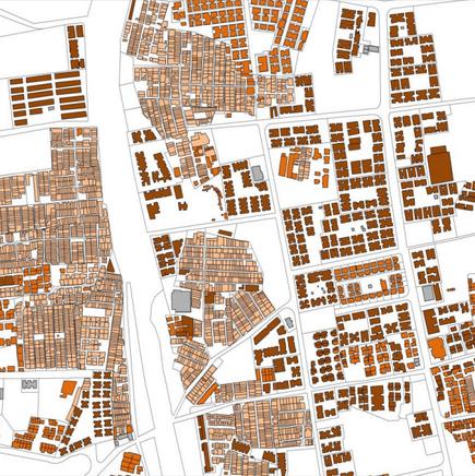
GROUND FLOOR USE
Furthermore, based on the footprint area, 69% of the building footprint are Residential followed by Commercial Non-Retail (18.3%) and Parking (9.7%).
Through the survey, we got to know that 50% of the building typology are Semi-Detached Buildings followed by Apartments (34%) and Detached ones (15%).
NATURE OF MIX-USE
In the precinct, we got to see 4 types of Nature of Mix-Use: 1. G+4 Structures where 2 floors dedicated to Commercial Retail and Non-Retail Shops. 2. G+7 Structures where ground floor is dedicated to institution. 3. G+3 Structures where ground floor is dedicated to Commercial Retail and rest as Non-Retail.
4. Housing Buildings where ground floor buildings have been dedicated to both institutional and residential (sideways). 4
STUDENT CODE : PFP24383
PEOPLE OF RANIP AND CHANDLODIYA
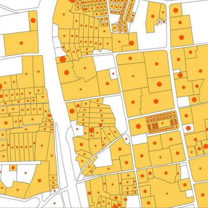
POPULATION DENSITY AND FSI
HUMAN ACTIVITY
Upon further study, we got to know that in terms of population density, 385 population/hectare is the value coming for the precinct and 26m2 as per capita floor space.
Furthermore, 0.9 comes as Net FSI, 0.7 as Gross FSI in which 3.1 comes as highest FSI and 0.1 comes as lowest FSI.
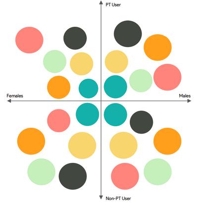
Through the observation we got to know that Hawkers are more dominant than other activity happening on streets and both Male and Female dominance are observe during this period.
DOMINANT SPACES
STUDENT CODE : PFP24383
Corners
Dominant Group (Mostly Adults)
Female Dominant Group (Mostly Senior Citizen) Park Children Dominant Group (Mostly Young Age)
Lake Male Dominant Group (Mostly Senior Citizen)
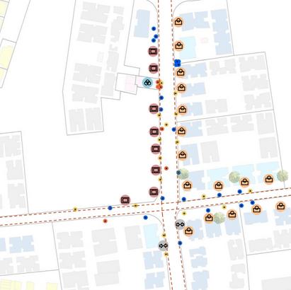
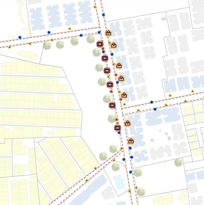
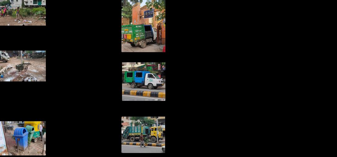
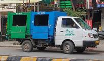
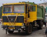
SOLID WASTE MANAGEMENT
SWM ON NUISANCE POINTS SWM PROCESS
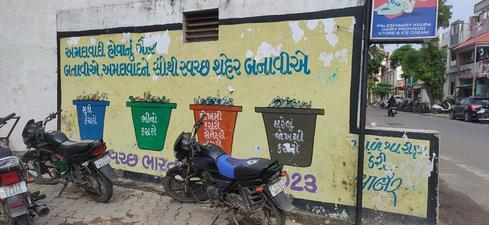
During the survey, we saw that there were more litter, dry leaves, animal excreta, furniture wastes etc. all over the nuisance points. Mostly because there was not an specific place to dump the wastes so that compactor can collect those wastes.
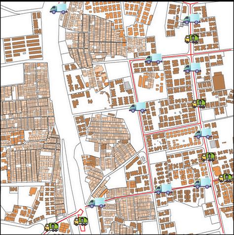
TRANSPORTATION ROUTES
From the data got from Ward office, 9 minitrucks covers the New Ranip area and 2 compactor trucks (1 for each Chandlodiya and New Ranip) covers the area both in the morning and in the evening.
AND PEOPLE
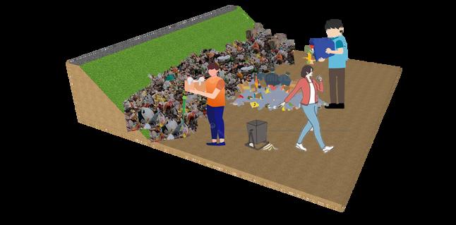
People generally throw garbage in the nearby open spaces even though these open spaces are nearby their house. SWM
Layover Duration depends on how much waste have been generated in that particular stop. Generally, it took 2-5 minutes but areas near the railway track took about 10-15 mins. Total Distance covered to reach Pirana Landfill is 19km and time taken to reach there takes about 40 mins.
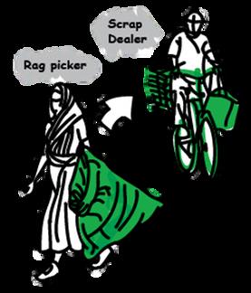
FORMAL AND INFORMAL PRACTICES
Formal waste management systems are unable to cover all areas, especially informal settlements or marginalized communities. Informal practices often fill these gaps, ensuring that waste is collected and recycled where formal systems fall short.
Litter Dry leaves Excreta Furniture
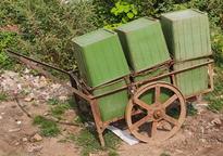
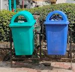
Handcart Dustbin
Mini-Truck Compactor
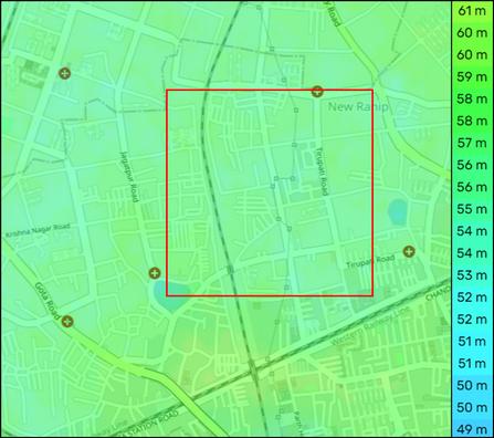
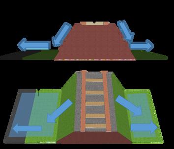
TOPOGRAPHY
STORM WATER MANAGEMENT
RUNOFF
The surface level varies throughout the precinct. The range of the surface level is from 52m to 61m approx. with Average elevation comes around 57m.
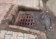
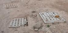
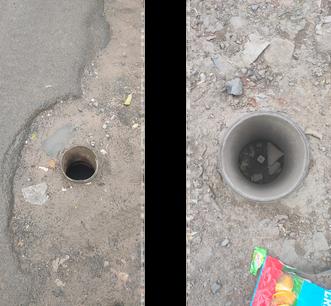
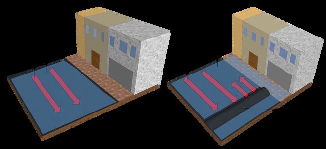
WATERLOGGING AND CATCHPITS
There are about 90 Catchpits on the collector road. Still, people face issues of water-logging during monsoon more in Chandlodiya than in New Ranip. The level of waterlogging reach is about 5 cm (ankle level).
Through Ward Offices and Survey, we got to know that the runoff direction is towards the lake side.
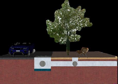
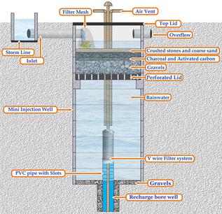
An overflow outlet storm sewer pipe connection in the catch basin and underdrain are included to allow excess water to leave the practice. The underdrain perforated pipe is embedded in the growing medium which factors in the fast drainage rate of the subsoil.
IMPACT OF STORM WATERMANAGEMENT IN THE PRECINCT
Percolation pit is a water conservation technique which helps in recharging the groundwater of an area.
KEY ISSUES
During the questionnaire, people answered that AMC created more problems than before by constructing speed breaker in front a shop.
Because the altitudes for the tracks are high, the runoff direction gets into both sides where catchment pits are lacking creates the logging issues.
New Ranip
Chandlodiya
Lack of Clean Drains Lack of Catchpits in those areas.
The high variability urban environment, which subsists in the study of Ranip and Chandlodiya, is discussed. In reality, the inter-linkages between the various dimensions are hindered through fundamental infrastructure issues like poor mobility, inefficient public transportation, and traffic congestion. Urbanization has resulted in a frequent trade-off between development and the environment. The absence of publicly available space has resulted in a lack of variety in available products and services. In addition, land-use development based on residential settlement, as well as having more spacious lands yet not developed, presents potential development and hence requires careful planning in order to facilitate sustainable developments.
UNDERSTANDING THE CASE STUDY OF CHANDLODIYA AND RANIP
Some of the influences that determine the social and economic dynamics of the region are informal sector, human activity patterns, and population density. Pre-existing user groups and various types of open spaces require them to be harmoniously integrated into the planning and design of cities. Waste management and stormwater drainage as critical issues need to be addressed quickly to have an improvement in the quality of life.
Yet these troubles can be best tackled if a range of activities occur simultaneously: infrastructure improvement drives, integrated community engagements, constant development and management of sustainable urban areas, and the awareness campaign. This much scope will allow construction of a more livable, equitable, and sustainable urban setting within Ranip and Chandlodiya.