2 minute read
From Schematic Design Plan to Grading Plan
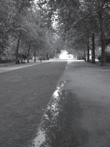
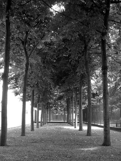
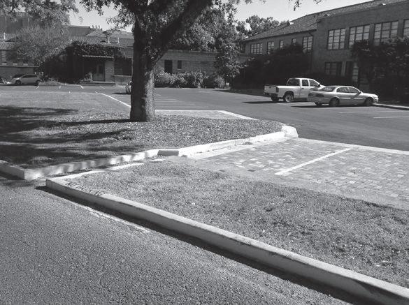
Figures 10.24-a–d Photographs A thru D show typical methods used for preparing a site for concrete work
The following examples (Figures 10.25 and 10.26) taken from recent professional work are included here to show how all the elements described in this chapter are applied in actual site-grading plans. Prior to preparing a site-grading plan, the designer prepares a schematic design plan, similar to Figures 10.25-A and 10.26-A, to be approved by the client. Schematic design plans, supporting drawings, and written information (perhaps in the form of a progress report) are used to review the design with the client. The schematic design drawings may also be used to inform and
Advertisement
solicit input from appropriate stakeholders, including user groups and government agencies having review or permitting authority. After the schematic design is approved and notice is given by the client to proceed to the design development phase of the project, the designer will prepare a site-grading plan, as shown in Figures 10.25-B and 10.26-B.
In the next chapter, the focus will be on contours and their use in developing site-grading plans.

Figure 10.25-a Portion of the schematic design rendering for Red Butte Garden, Salt Lake City, Utah
Courtesy of studio outside And 3 froMMe desiGn Figure 10.25-B Portion of the grading plan for Red Butte Garden, Salt Lake City, Utah

Courtesy of studio outside And 3 froMMe desiGn

Figure 10.26-a Tarrant County College District, Downtown Campus, site schematic design plan
Courtesy of studio outside Figure 10.26-B Tarrant County College District, Downtown Campus, site-grading plan

Courtesy of studio outside
11

Working With Contours: Creating Landforms With design in mind
In this chapter you will learn about:
• How to create or alter topography to accommodate specific design elements, using contours
• How to create level or sloping landscapes and hardscape surfaces, using contours • How to establish elevations in the form of spot elevations

Figure 11.1 The sloping central lawn increases visual interest and enhances the apparent scale of the landscape spaces at Teardrop Park, New York City
Michael Van Valkenburgh associates, inc.


