4 minute read
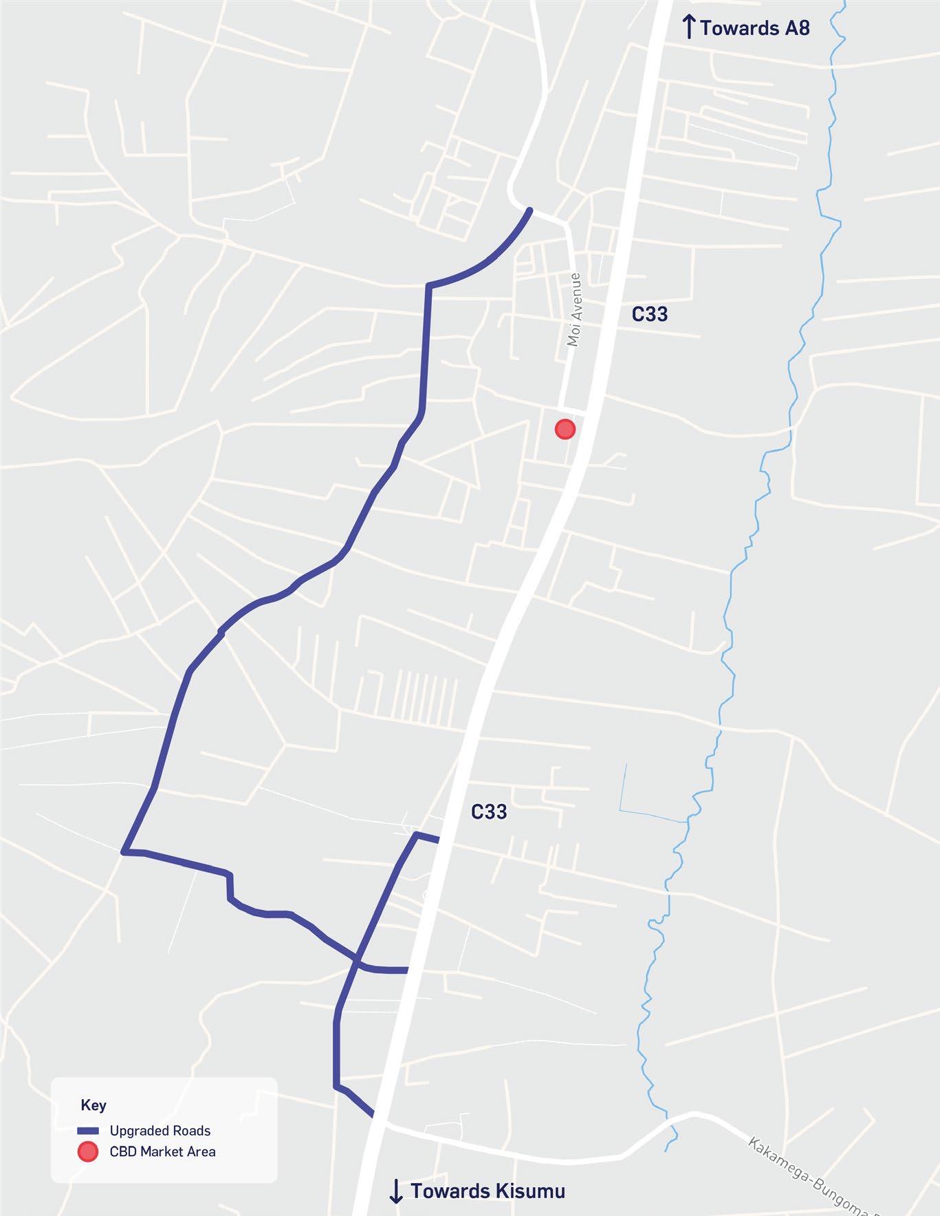
Figure 2-3 – Bungoma's Regional Context


2.3 State of Bungoma
2.3.1 Regional Context
Bungoma County is one of the smallest counties in Kenya, it covers a surface area of 3,032.4 km2. The majority of the land (around 2,880.78 km2) is used for agricultural activities such as growing crops and rearing livestock. The remainder of the land in the County is covered by human settlements, semi-natural habitats, such as managed woodland and flood plains, and the Mt Elgon conservation area. The County borders Busia, Kakamega, and Trans-Nzoia counties. Furthermore, the County’s strategic location at the border of Uganda means it plays a key role in facilitating trade, via both road and railway, to and from Uganda (see Section 2.1).
Figure 2-3 displays the distribution of densely populated centres in the LREB, where some of the larger towns and cities in Kenya are scattered around the region. Near to Bungoma there is Eldoret (not in LREB) connected via the northern corridor, Eldoret is the fifth largest urban centre in Kenya with an urban centre population of 475,700 (2019). Kisumu is the LREBs largest urban centre, with almost 400,000 people residing there. Kitale, Kakamega, and Busia are also populous centres in the LREB, and of a similar size to Bungoma. All of these centres are well-connected via the northern corridor (A104 / A8) and the A13 .
3 KNBS (2019) Kenya Population and Housing Census: Volume I Figure 2-3 – Bungoma's Regional Context
Source: Atkins, 2022
2.3.2 County Context
According to the Kenya National Bureau of Statistics - Population and Housing Census, 2019, the County had a population of 1,670,570 with an average population density of 552 people per km2. The residents of the County participate in key economic activities which include agricultural (made up of crop growing, livestock and agri-processing), market trade and logistics, hospitality and tourism, and public services (see Sections 4.2 and 4.3). The County’s agricultural sector benefits from rich and fertile soils, favourable climate conditions and abundant sources of water which results in high agricultural productivity, contributing towards 12% of the LREB’s agricultural outputs.
Furthermore, the strategic location of both Bungoma County and the Municipality have resulted in the growth of the trade and logistics sector over the years. The County has a rich base of natural resources (see Section 2.5), however, these have not yet been fully utilised to attract tourism. Some attractions include Mt. Elgon (including the high-altitude training centre), the Chepkitale hills, the Sang’alo and Kabuchai Hills, Nabuyole falls and more. Settlement patterns across the County are influenced by its geography, including the topography of the County and distribution of natural resources and agricultural land, key transport routes and function of urban centres. These factors have resulted in three main settlement patterns occurring across the County, including dispersed settlements across the rich agricultural land, linear settlements along main transport corridors, such as the A8 and C33, and clustered settlements found around urban centres. The CSP estimates that around 21% of the total population of Bungoma live in urban centres4 . The three main urban centres include Bungoma Municipality, which serves as the County HQ and plays a key role in health and education provision, Webuye, which acts as an industrial centre for the County with the Pan Paper Mills and other industrial activities found here, and Kimilili, which acts as an administrative and commercial hub as well as a key centre for agriculture due to its proximity to Mt Elgon and its fertile lands. Chwele is also an important center for agricultural activity and trade and markets.
2.3.3 Municipal Context
Bungoma Municipality mostly remains rural in character with agricultural land use occupying the largest proportion of land within the Municipality. Urban areas are present in linear and clustered settlement patterns across the Municipality with the largest of these being Bungoma Town. The other major urban clusters in the Municipality are Kibabii, which acts as an education hub with the presence of Kibabii University, and Kanduyi, which acts as a commercial and transit hub due to its position along the A8 road. The major urban centres of the Municipality are connected by bitumen roads whereas other rural and market centres are connected by earth roads.
The Municipality has one airstrip located near Kanduyi, however, in its current state the strip is underutilised due to the lack of standard facilities and dilapidated infrastructure. Furthermore, the Kenya-Uganda railways, built in the 1920s, passes through the centre of Bungoma Municipality. The railway is used for the transport of bulk goods such as cereals and containers from the seaport of Mombasa to Uganda.
The Municipality’s topography is a mix of gentle slopes and flat lands as a result of its hydrology and natural drainage system. The northern part of the Municipality is found around 1,520 m above sea level and slopes to the south where the lowest point is around 1,278 m above sea level. Bungoma Town is framed by the River Khalaba to the east and the River Sio to the west, these flow from north to south and have influenced the linear development of the Town along the C33. The natural slope of the topography aids with the drainage of storm water, however, parts of the Municipality located to the south can sometimes experience flood events as water builds up in river channels.
4 Bungoma County, CSP, (2018)