1 minute read
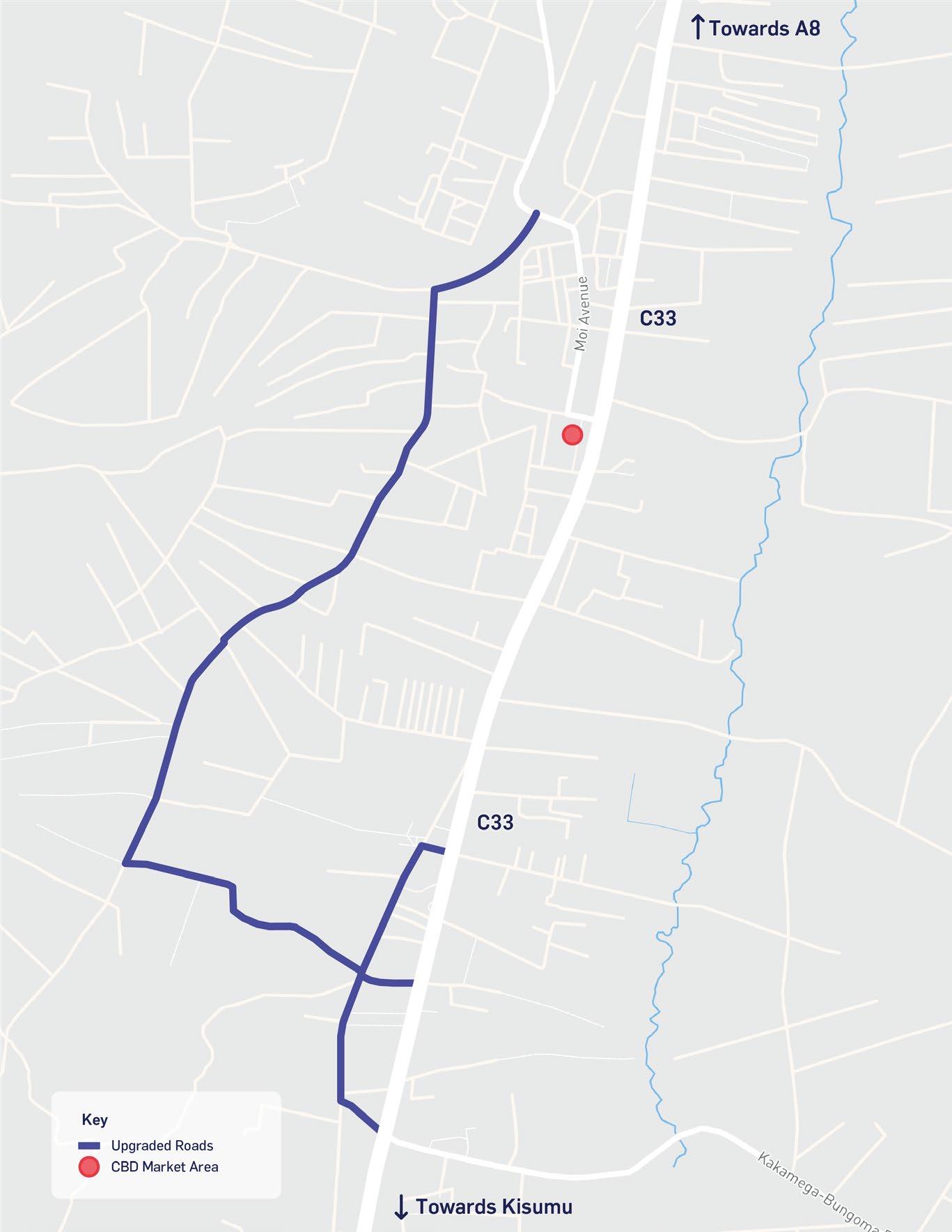
Figure 3-2 – Bungoma spatial strategy for economic development
3.3 Spatial Framework for
Development
The Spatial Framework consists of a spatial plan with a focus on two key development areas and within which a range of climate-resilient and inclusive urban and infrastructure interventions and projects have been proposed.
The two development focus areas for intervention to be considered by the UEP are shown Figure 3-2. These are Bungoma Town and Webuye Industrial Zone.
The relationship between these areas is important and therefore factored into considerations for their respective roles within the wider Bungoma County and regional ecosystem, their infrastructure requirements, and how effective linkages, both soft and hard, can drive socio-economic benefits for all communities both urban and rural.
3.3.1.1 Focus Area 1 – Bungoma Town
The Town is an area of high activity in Bungoma Municipality and County, generally people come to Town for trading, shopping, visiting government institutions, using services such as the hospital, or simply using the transportation routes that converge in the town. After alighting in the main bus station people tend to walk or use boda-boda (motorcycles and bikes) to get around the Town itself.
There are a number of challenges the Town faces that are preventing opportunities for growth and economic development, where the current infrastructure cannot keep pace with the existing and projected population growth.
One of the challenges the County government is working to resolve is the significant congestion in the Town which is being done through the construction of a dual carriageway along the C33. This road infrastructure is important to relieve congestion in the CBD, and enable the easier passage of through traffic. Of concern, however, is that it currently leaves little space for NMT and traders to operate in a safe environment.
Figure 3-2 - Bungoma spatial strategy for economic development
Source: Atkins, 2022


