T he F lorida Surveyor

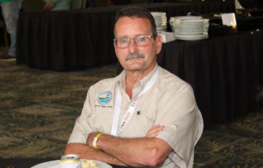
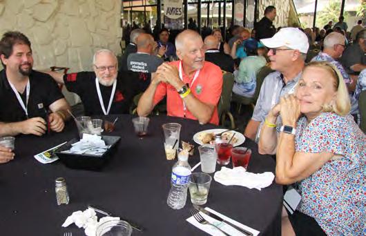
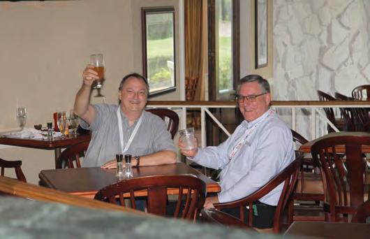
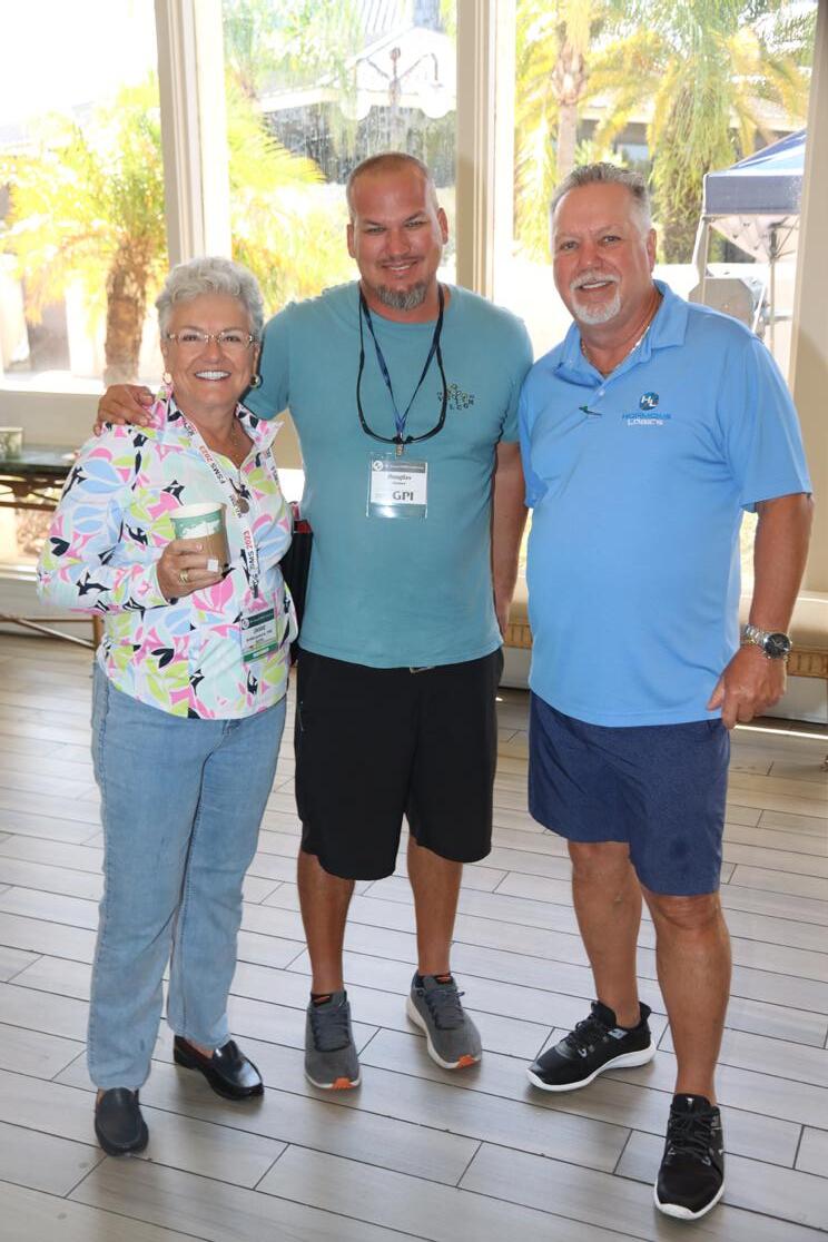
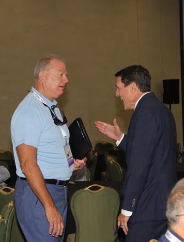
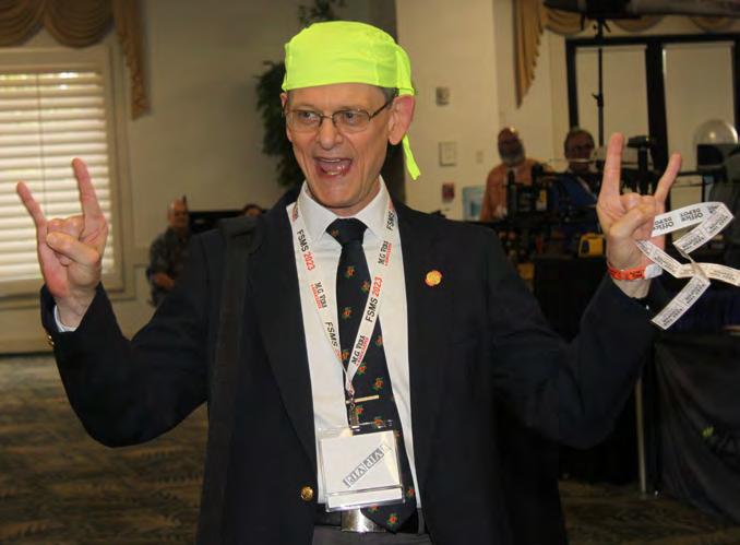
68th Annual Conference Recap
IN THIS ISSUE
Recap of Conference Events

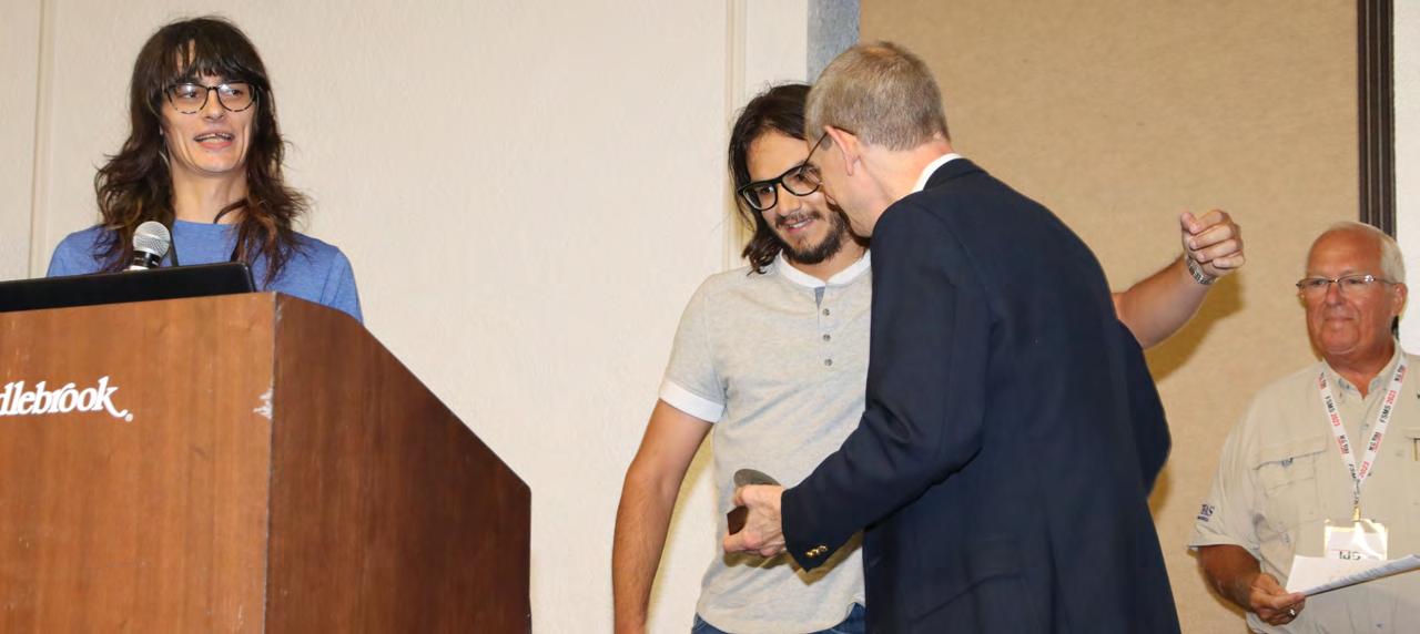
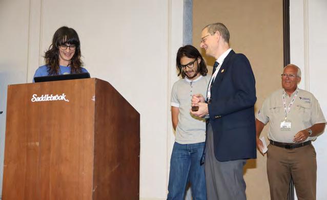
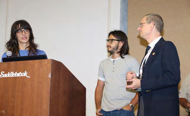
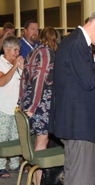
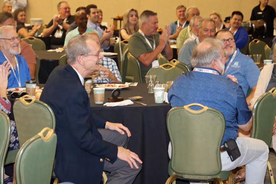
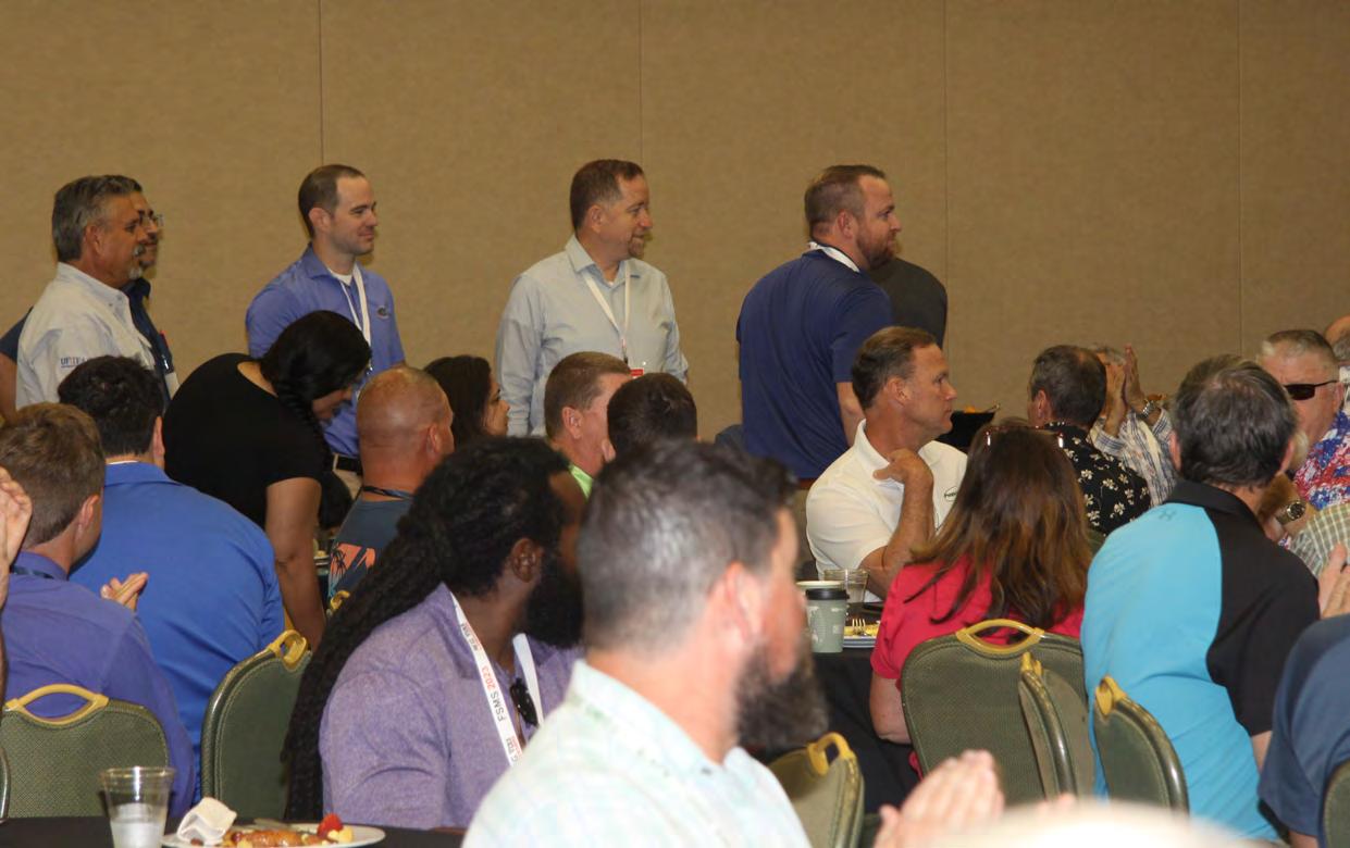
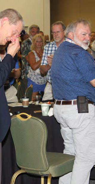
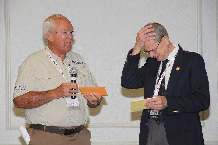
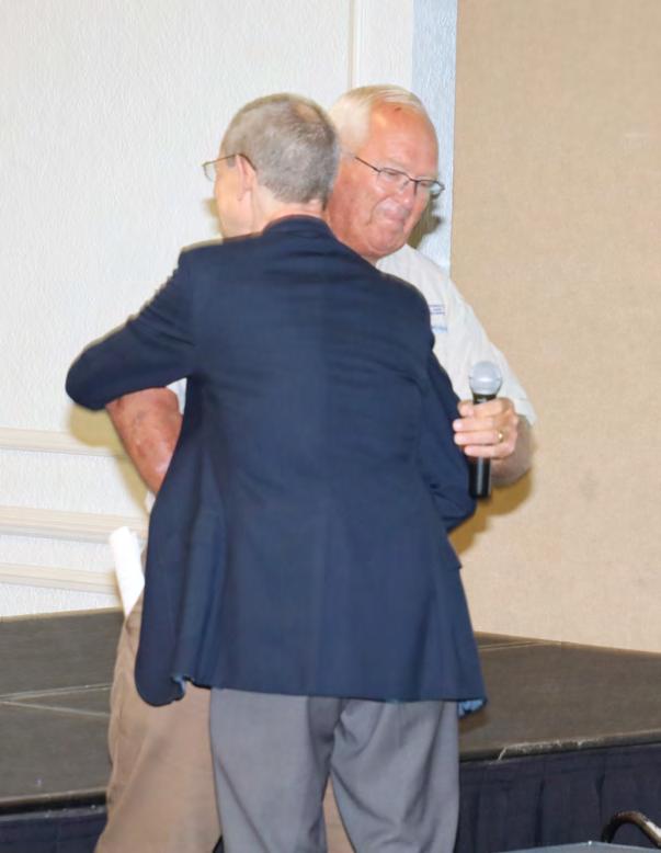
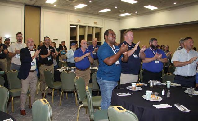
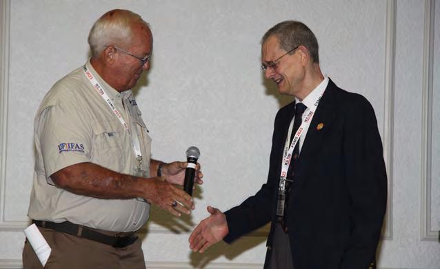
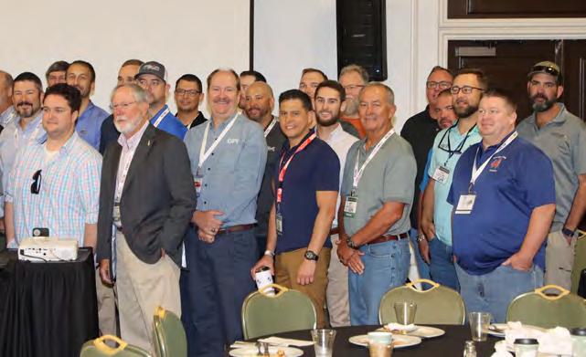
UF 50 th Geomatics Celebration
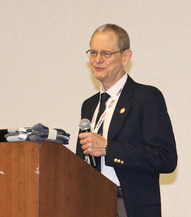
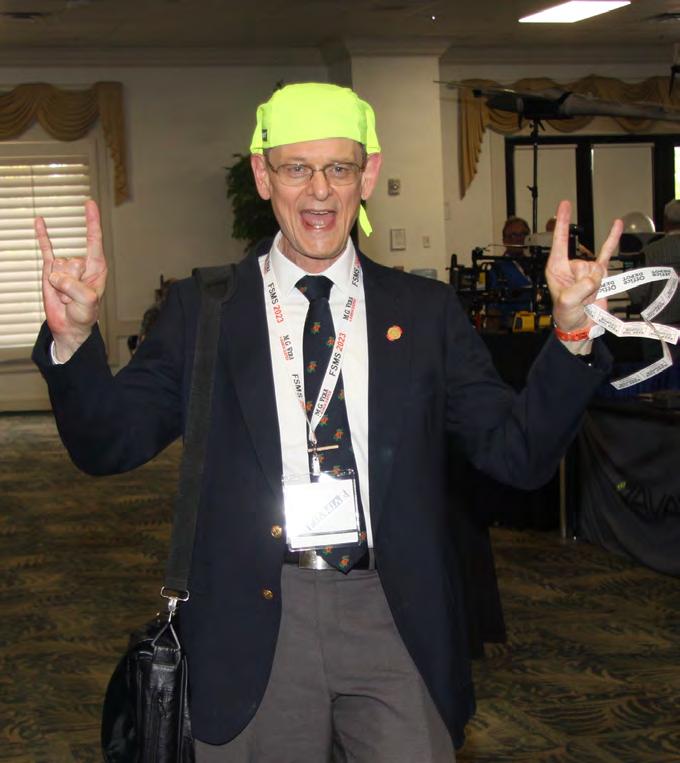
Honoring Dr. Bon Dewitt
July/August 2023 Volume XXXI, Issue 7
Increase productivity by combining lidar scanning with robotics
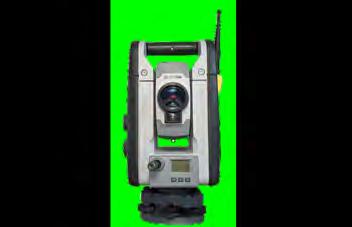
The GTL-1200 combines the power of a robotic total station with a best-inclass laser scanner to perform digital layout and capture high -res 3D scans in a single setup. Simplify the scanning process and dramatically reduce the need for post-processing by capturing scan data on survey control. The workflow seamlessly integrates with ClearEdge3D software for advanced construction QA workflows and as-builts.
• Quick layout and scanning with a single instrument.
• Wi-Fi capability enables point clouds to be transmitted wirelessly
• Proven robotic total station design, integrated with a scanner.
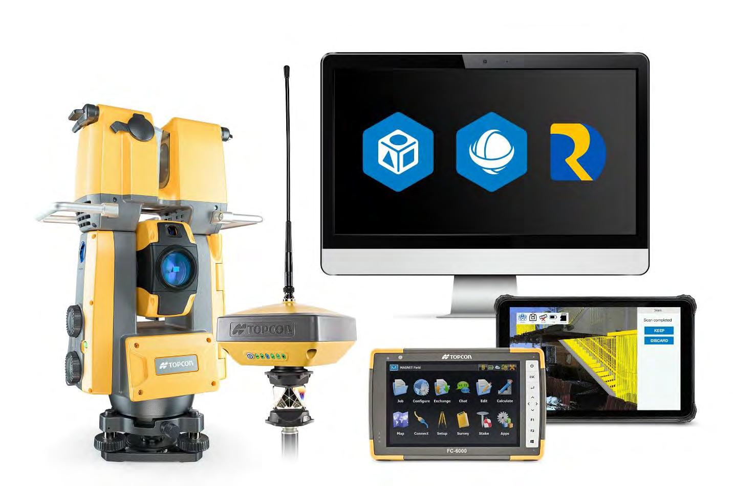
• Full dome scan in seconds, now with 2x point cloud resolution.
• Scan density tailored to minimize software processing time.
• Point clouds accurately matched to BIM model coordinates.
Reduce your modeling time by up to 75%
EdgeWise™ software from ClearEdge3D offers a host of modeling features and tools that help users quickly convert point clouds into usable, as-built 3D plant and building models. The software’s automated feature-extraction capability, pattern-recognition technology and object-recognition algorithms provide you with maximum efficiency. Using these features, the modeling process can be completed in a fraction of the time previously required.
• Increased accuracy and speed when modeling
• Ability to do 3D models of as-built pipes, structural elements, ducts, walls, tees and conduits
• MEP (Mechanical, Engineering and Plumbing), structural and architectural-modeling capabilities


• Billion-point visualization engine with photo-realistic project views
• Fully interoperable with Plant3D, CADWorx, PDMS and Autodesk Revit
43316 State Road 19 Altoona, FL 32702 www.lengemann.us

68TH CONFERENCE Recap EXHIBITOR Luncheon 25 113 123 2023 SUSTAINING Firms Directory 19 68TH CONFERENCE Exhibitors/Sponsors RECOGNITION 29 WELCOME BBQ/ Cornhole Tournament 59 UF 50th GEOMATICS Celebration 99 EXHIBITOR Reception 91 GENERAL BUSINESS Session 105 PRESIDENT’S Report 1 2023 FSMS Officers 3 PROF. SURVEYING Societies Rick Pryce 7 The F lorida Surveyor is the official publication of the Florida Surveying and Mapping Society, also known as FSMS. It is published monthly for the purpose of communicating with the professional surveying community and related professions who are members of FSMS. Our award winning publication informs members eleven months out of the year about national, state, and district events and accomplishments, as well as articles relevant to the surveying profession. In addition, continuing educational courses are also available. TABLE OF CONTENTS SPECIAL THANKS to Hal & Beth Peters for Their Exceptional Conference Photography!
PRESIDENT’S Report
August 7, 2023
We had a record number of attendees at this year’s Conference. I would like to thank Mr. Allen Nobles and the conference committee for their efforts to make the presentations happen, the instructors for their hours of research and effort in preparing their presentations, the staff for their persistence and determination to make this conference a success, and lastly, the membership for their participation. It was a team effort.
On a separate note, the Constitution is the founding document of the United States. We are constantly citing it for our rights and the laws that govern our country.
In a comparable manner we as surveyors are constantly citing the original location of corners by the Bureau of Land Management, the State of Florida, and other original documents such as plats. We are always returning to the original corner location. Why, the corners established by the Public Land Survey System are the basis for all legal descriptions within the State of Florida.

In the “Instructions Manual for Florida Certified Corner Records " there is a paragraph that reads:
https://www.labins.org/xtra_data/download/CCRForm2014_Instructi onManual. pdf
“Included in these requirements is the obligation on the part of the professional surveyor and mapper to obtain and review copies of the original government
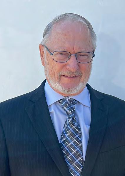
President Howard Ehmke (561) 360-8883 Howard@GCYinc.com
The Florida Surveyor Page 1
PRESIDENT’S Report
plat and field notes. Since professional surveyors and mappers a re required to 'follow in the footsteps' of the original surveyor, it is mandatory that they know how the original surveyors performed their surveys, what monuments were set and what accessories and other physical features were located. A painstaking search for evidence from those original surveys cannot be complete without this information.“
The backbone of our system.
Respectfully submitted.
Howard J. Ehmke II
To
We provide expert insights and advice by delivering the power of Geo-data. Through mapping, surveying, and GIS solutions, we transform data into valuable information for safe and sustainable design, construction, and operation of assets.
find out more visit fugro.com
COMPREHENSIVE SURVEY SOLUTIONS FOR SAFE AND RELIABLE INFRASTRUCTURE
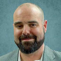
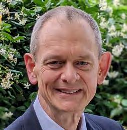
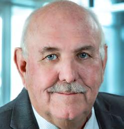
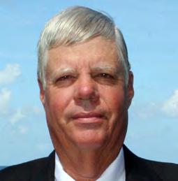

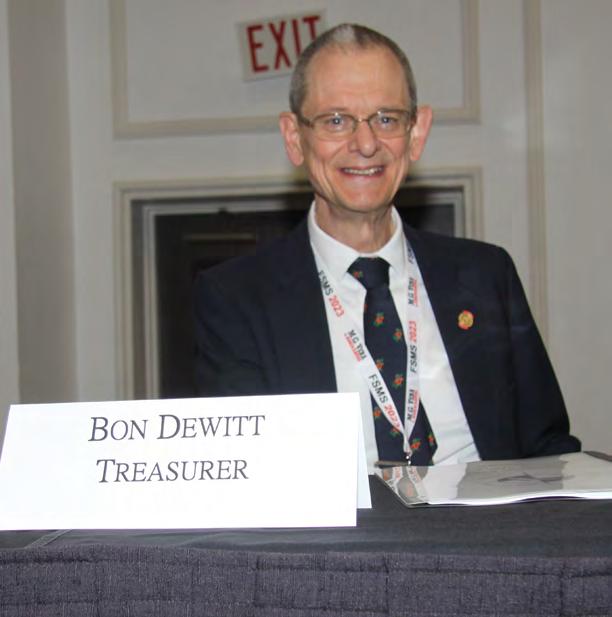
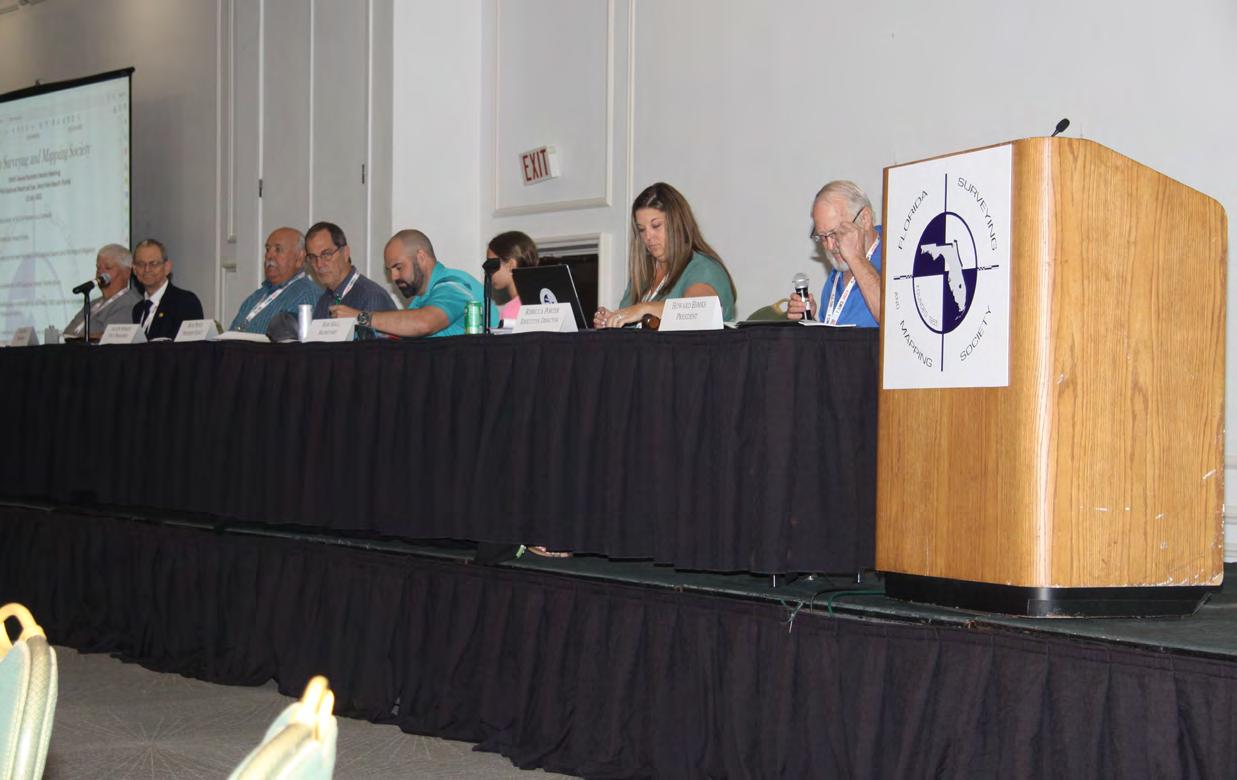
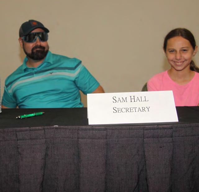
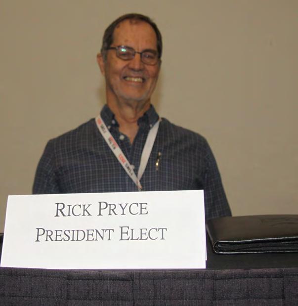
President-Elect Richard Pryce (954) 739-6400 rdpryce@gmail.com Vice President Allen Nobles (561) 687-2220 allen.nobles@sam.biz Secretary Sam Hall (352) 408-6033 surveysam17@outlook.com Treasurer Bon Dewitt (352) 392-6010 bon@ufl.edu Immediate Past President Lou Campanile, Jr. (954) 980-8888 lou@campanile.net 2023-24 FSMS Officers The Florida Surveyor Page 3
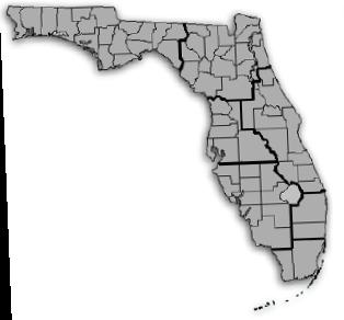
2023-24 Districts and Directors
District 1 - Northwest
Bay, Calhoun, Escambia, Franklin, Gadsden, Gulf, Holmes, Jackson, Jefferson, Leon, Liberty, Madison, Okaloosa, Santa Rosa, Taylor, Wakulla, Walton, Washington
Eric Stuart (850) 685-1149
eric.stuart@sam.biz
Chad Thurner (850) 200-2441 chad.thurner@sam.biz
District 2 - Northeast
Alachua, Baker, Bradford, Clay, Columbia, Dixie, Duval, Gilchrist, Hamilton, Lafayette, Levy, Marion, Nassau, Putnam, Suwannee, St. Johns, Union
Nick Digruttolo (863) 344-2330
ndigruttolo@pickettusa.com
2 3 4 7 6 5
District 5 - Southwest
Charlotte, Collier, DeSoto, Glades, Hardee, Hendry, Highlands, Lee, Manatee, Sarasota
Shane Christy (941) 840-2809
schristy@georgefyoung.com
Pablo Ferrari (904) 824-3086 pferrari@drmp. com
District 3 - East Central
Brevard, Flagler, Indian River, Lake, Okeechobee, Orange, Osceola, Seminole, Martin, St. Lucie, Volusia
Al Quickel (407) 567-1566
alq.fsms@gmail.com
Robert Johnson (772) 562-4191
bobj@carterassoc.com
District 4 - West Central
Citrus, Hernando, Hillsborough, Pasco, Pinellas, Polk, Sumter
Greg Prather (863) 533-9095
gprather@pickettusa.com
Alex Parnes (813) 493-3952
alexwolfeparnes @gmail.com
Donald Stouten (239) 281-0410 dstouten@ ardurra.com
District 6 - Southeast
Broward, Palm Beach
Mark Sowers (954) 868-7172 msowers@mgvera.com
Earl Soeder (407) 601-5816 earl.soeder@ duncan-parnell.com
Miami-Dade, Monroe
Jose Sanfiel (305) 351-2942 psm5636@gmail.com
District 7 - South NSPS
Manny Vera, Jr. (305) 221-6210 mverajr@mgvera.com
Russell Hyatt (941) 748-4693
russell@hyattsurvey.com
1
Director
District 1
Panhandle
Bill Butler wtb@butlersurveying.com
Gulf Coast
Jonathan Gibson jgibson0102@gmail.com
Chipola Jesse Snelgrove jsnelgrove@ snelgrovesurveying.com
Northwest FL
Jeremiah Slaymaker jslay@wginc.com
District 2
FL Crown
Brandon Robbins brndrbbns@netscape.net
North Central FL
Jeremy D. Hallick jdhallick@hotmail.com
UF Ge omatics
Andrea Slaven aslaven@ufl.edu
2023-24 Chapter Presidents
District 3
Central FL
William (Bill) Rowe browe@southeasternsurveying.com
Indian River Brion Yancy brionyancy@gmail.com
Volusia Je ff Cory (Interim) jeff@corysurveyor.com
District 5
Charlotte Harbor
Derek Miller millersurveying@comcast.net
Collier-Lee
Steve Shawles II sshawles@haleyward.com
Manasota
Shane Christy schristy@georgefyoung.com
District 6
Broward
Benjamin Hoyle benjamin.hoyle@kci.com
District 4
Ridge
Kenneth Glass kglass@civilsurv.com
Tampa Bay John Beland jbeland1979@gmail.com
Palm Beach
Lee Powers
lpowers@zemangroup.com
FAU Geomatics
Brett Costanza brettcostanza@hotmail.com
District 7
Miami-Dade
Eddie Suarez marketing@longitudefl.com
2023-24 Committees
Standing Committees
Nominating Committee
Membership Committee
Finance Committee
Executive Committee
Education Committee
Annual Meeting Committee
Legal Committee
Strategic Planning Committee
Ethics Committee
Legislative Committee
Surveying & Mapping Council
Constitution & Resolution Advisory Committee
Rick Pryce
Nick DiGruttolo
Bon Dewitt
Howard Ehmke
Greg Prather
Allen Nobles
Jack Breed
Rick Pryce
Shane Christy
Jack Breed
Randy Tompkins
Eric Stuart
Special Committees
Equipment Theft
Awards Committee
UF Alumni Recruiting Committee
Professional Practice Committee
Workforce Development Committee
Liaisons
CST Program
Manny Vera, Jr.
Lou Campanile, Jr.
Russell Hyatt
Lou Campanile, Jr.
Allen Nobles
Alex Jenkins
FDACS BPSM Don Elder
Surveyors in Government
Academic Advisory UF
FES
Richard Allen
Bon Dewitt
Lou Campanile, Jr.
Geospatial Users Group Earl Soeder
Practice Sections
Professional Surveying Soc ie ties ,
What are they there for?
My journey and involvement with the Florida Surveying and Mapping Society (FSMS) has been something of a work-in-progress for over 40 years now. I've been planning to put my thoughts together on this issue for some time – I just haven't had the initiative to write it down. But as I get closer to retirement from the profession, it's been nagging at me: more and more, I see a lack of interest in being involved with our profession – a profession which has served to enlighten and enrich, not just my life, but so many others. It has enabled us to hold onto this... unique love of what we do. So, here is some of my background – and my thoughts – on Surveying in general, and what a Professional society is all about. And, of course, how I came to realize its importance.
Background:

As someone who came into Surveying by complete accident over 50 years ago – and having been licensed for 40 of them – I have come to realize that we in the Surveying profession really do need each other. Overlooking our love of maps, history, applied mathematics, technology, and the outdoors, we're really a stubborn bunch – especially when it comes to asking for help when we start out. I suppose it's just the nature of wanting to figure it out on your own. Once we get over that hump (which usually happens when we're stumped on a particular boundary issue) and ask another surveyor, that's usually when the light comes on – and a whole new world opens up. There is a plethora of other surveyors just like yourself that – if asked – will bend over backwards to show off their work. Why? Well, I not-so-secretly believe that we're all proud of the work we do, the notes we keep, and the maps and surveys we produce. But I also believe we all hope they'll agree with us.
In my experience, to really prosper in Surveying, you must have that stubborn backbone, that burning desire to figure out puzzles, and that willingness to work long hours – scratching your head, beating it against a wall – deciphering what was found and how it fits together. More importantly: the ability to read and comprehend the writings, notes, and old maps from a variety of different sources of those adventurers that came before us, will lead you in the right direction and adventures of your own. Old maps are a particular favorite of mine – I'm fascinated by the artwork, as well as the historical details they often contain.
The Florida Surveyor Page 7
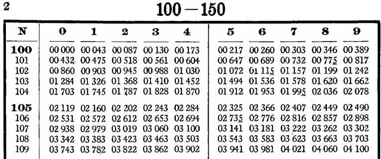
The math involved with everyday boundary and topographic surveying doesn't have to be complex: a good working knowledge of geometry and trigonometry will get your through 90 percent of everything you come across – and if you need help, you have more resources than ever nowadays. Definitely more so than when I started out – carrying books on 5-place logarithmic and trigonometric tables, working with a slide rule. A university degree in Geomatics is one way to gain this knowledge, but that education is only the beginning. Your real knowledge comes after school, when you start working in the geospatial world. True knowledge and understanding only comes after the academic world, both through mentors and through your own research.

Even if I hadn't been advocating for the adoption of the new geospatial technologies myself, they are taking over both our everyday lives, and our profession. This means you should be constantly learning new skills and developing your capabilities. Professional training and classes are important, and you should pursue those – costly though they can be –but I find self-investigation and individual research to be the most important avenue. Getting out of your comfort zone and pushing the limits of your knowledge will give you the boost you need to remain interested and focused. The most important new geospatial technologies – the ones you should be most focused on – are Geographic Information Systems (GIS), remote sensing, and all forms of LiDAR (terrestrial, mobile and aerial). Aside from the new technologies, datums –both horizontal and vertical - will become a key factor in your future as a Surveyor. And above all: when you do learn something new, pass it forward. Become the teacher, not just the user.

July/August 2023 Page 8
YOUR FIELD-TO-FINISH SURVEY PARTNER


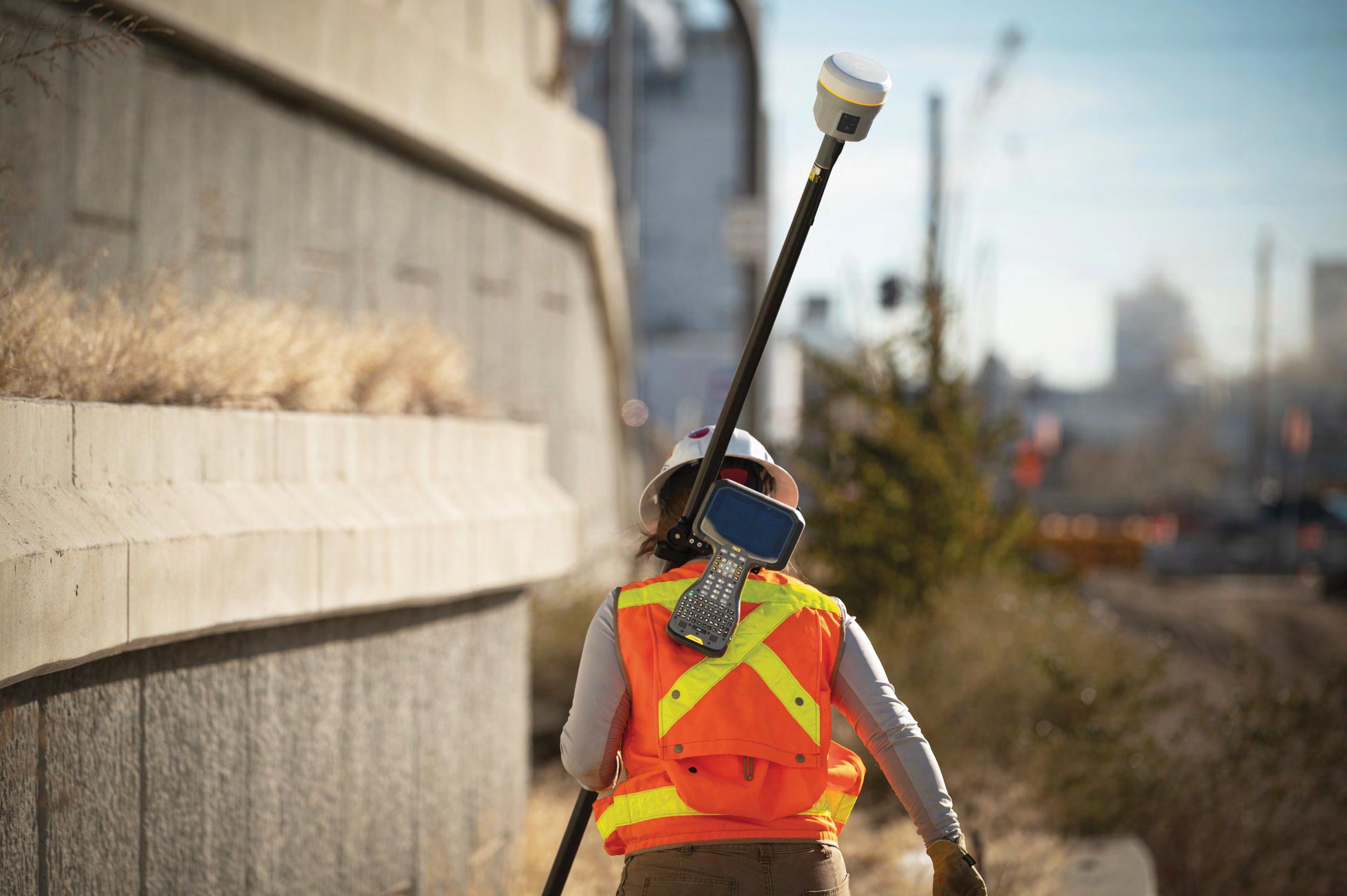
As surveying technologies continue to advance, a trusted and knowledgeable partner can help you stay ahead of the game. For over 75 years Duncan-Parnell has provided leading-edge products and services to help surveyors succeed.
•Robotic Total Stations
•Trimble GNSS Instruments
•UAS/Drone Solutions

•Technical Training
•Software for Survey & Mapping
•Survey Supplies


•Instrument Repair & Maintenance
•Monitoring Solutions www.duncan-parnell.com Jacksonville, FL (904)620 - 0500 Orlando, FL (407)601 - 5816
Profession al Surveying Societies:

While technology plays a very important role in what we do and how we perform adjustments, calibrate networks, and make final decisions on boundaries, it really is secondary; the more important skill is being able to read and decipher descriptions, and to interpret field data, in order to make a decision. Where to look, how to look for it, and when to stop looking: these issues cannot be taught even in a comprehensive college or university environment, and certainly can’t be learned just from a book. So where does it come from?
An early mentor – who eventually became a lifelong friend - invited me to a local chapter meeting after I had been in Surveying for about 5 years, splitting my time between office drafting and field work. I really didn’t think I had time to go to this when I had what I considered more important work to do the next day, but I relented and went. What I witnessed that night was indelibly imprinted in my memory. Well-known surveyors from around the area were concentrated in one place, and there was plenty of alcohol flowing on this night. I was introduced to several of them and was welcomed warmly. Once the meeting started, there were discussions about the different types of surveying and how it should be done, and a couple of items about state laws on surveying. However, the two most prominent surveyors got into a heated debate on surveying methods. They were very determined to get their point across and extremely forceful and loud and stood their ground and several in the audience also started getting into the heated discussion. I stood back and listened and watched waiting for the fists to come out, it was quite a spectacle. But in the end and to my amazement cool heads prevailed, and after it was all over, they shook hands, and we all had a beer to finish the evening. It was an amazing experience, and something I had never experienced before. I came to several more meetings after that, which weren’t as entertaining, but that meeting - and all the meetings afterward - have helped guide me through my career. It got me to know these characters and what they stood for.
It still took me years to join the chapter as member, but in 1981 I finally made the leap. I was getting close to being able to take the test for my license and it became clear that these Surveyors could help me get there. I have never regretted that decision, and - looking back now - it was probably one of the most important things I did for myself.
I believe one of the main reasons for belonging and participating in your professional societies is to gain knowledge and insight from the collective experiences of your peers
Another important reason is, after you’ve spent time in the trenches of surveying and gained knowledge and personal experiences, sharing that is one way to give back to the profession; the profession which has helped you grow and prosper into who you are today. For those new to the profession, the society acts as a support group from which you can gain new ideas and assistance from those who have already gone through the process. I’ve found that most of those who attend the meetings and participate will become lifelong friends and colleagues; people who are more than willing to help out any problem you run into.
The Society also serve as that ever-important watchdog to our profession, keeping an eye on both the Legislature, and on other professions, who want to chip away at what has always been considered under the realm of the Surveyor. They serve a very important role: keeping our Profession from being attacked or blindsided from things that we might not even know about until it was too late. Politics, like it or not, plays a significant role in governing what we can and can’t do. The Society acts as a go-between for both Surveyors and Surveying firms and the legislators, with the help of our Political Action Committee (FSM PAC) and our lobbyist. We couldn’t do this alone, which means membership in the Society and our contributions to the PAC are important.
There are probably good-ole-boy clichés out there in several local chapters within the State Societies, but I would say those who actually become the officers and directors have a desire to serve and give back to their profession and want to help elevate it We need young men and women coming into the profession, and we should be actively pursuing them.
July/August 2023 Page 10
Frontier Precision has the latest LiDAR photogrammetry innovations to fit your job or application. Our staff has the knowledge and real-world experience to help you select the solution that’s best for you and the training to make you more proficient and profitable. Just as important, our professional services group can help you implement LiDAR and photogrammetry solutions on your next project – from field data capture to data processing – we have the expertise to make sure your project is done right.
YOUR LIDAR & PHOTOGRAMMETRY SOLUTIONS EXPERTS.
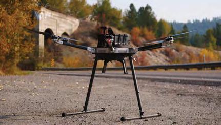
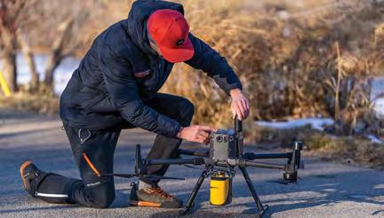
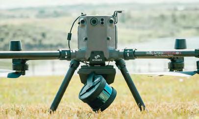
The YellowScan LiDAR UAV delivers the highest level of accuracy and density for real-time georeferenced point cloud data. Lightness and accuracy combine for a LiDAR solution that works hard for you.
8301 Cyprus Plaza Drive, #107 Jacksonville, FL 32256
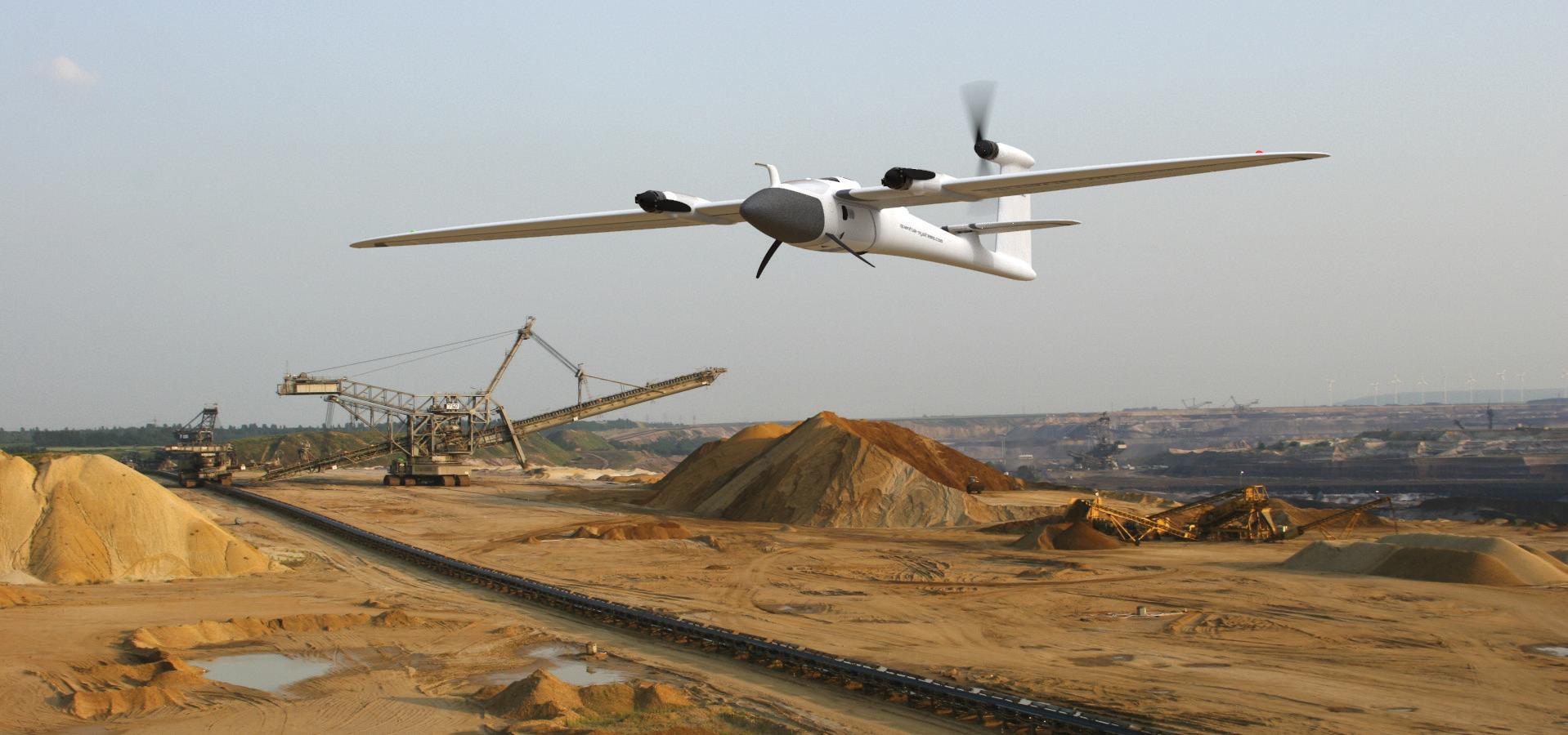
Emesent automates the collection and analysis of data in challenging GPS-denied environments, delivering revolutionary efficiency, safety, and operational insights to underground mining and other industries. It’s core areas of expertise are drone autonomy, SLAM-based LiDAR mapping, and data analytics.
Joey Civello | 904.477.6662 [Cell] or jcivello@frontierprecision.com
FIND OUT MORE AT www.frontierprecision.com/lidar
FRONTIER PRECISION
| TRAINING | REPAIR | RENTALS | TECHNICAL SERVICES
PRODUCTS
Let’s face it, we of the older generation are set in our ways, and that hampers our ability to adopt the emerging technologies – which is a problem the younger generation doesn’t have. That said, experience matters: those same young people need direction and mentors, just as the majority of us had early in our careers. It is the intermixing of experience and of new perspectives, rather than one or the other, that we need. We need the older generation participating in the Society to pass on the experience they’ve learned, to give back to the next generation of surveyors so they can take it to the next level
The Florida Society of Surveyors and Mappers (FSMS) just like many other Survey societies, strives hard to help the membership stay informed on issues affecting the profession; especially laws and legislative issues affecting Surveyors. We also take great pride in providing low cost continuing education, and we have committees constantly looking for ways to add both new classes and new ways to deliver them to our members (i.e., online).

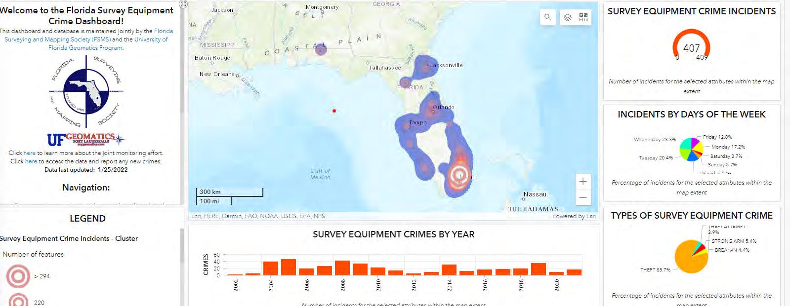
When the Profession started coming under attack from thieves stealing Survey equipment back in 2002, FSMS established a Theft Committee, and helped to set up a Crime database; with this we have tracked crimes against Surveyors across the State and has assisted Law enforcement as well. One of our most recent and largest thefts involved a company office that was broken into and over $200k of equipment stolen. With a combination of new technology, GIS, and aggressive law enforcement efforts, we were able to recover over 75% of the equipment. Our Trimble rep was able to access the equipment through the cloud and track the equipment getting location pings every minute. I was able to take that data and create maps for law enforcement showing the complete route the thieves took which helped in the identity and ultimate arrest of the criminals involved.
Survey Equipment Crime Incidents in FL (arcgis.com)
July/August 2023 Page 12
One of the more important things that Professional societies do is to stay in touch with other state societies and our National Organization (NSPS), so that we keep informed and involved on the national level. We would never have had National Surveyor’s Week proclaimed by President Ronald Reagan and Congress in 1984 if it weren’t for the dedication in our national organization. They did whatever was necessary to bring to the attention of Senators and Representatives the importance of what role the Surveyors had in the development of the United States. Now that the remaining Member Organizations (NSPS, AAGS, & CaGIS) of the original ACSM have separated into individual societies, NSPS has become stronger for it, and much more focused on our profession and leading it into the future

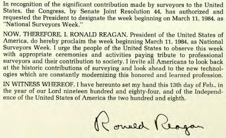
Our State Society celebrates National Surveyors Week every year by having the chapters going to their State, County and Municipal governments, and getting proclamations recognizing the importance of the Surveyors and National Surveyors Week. I don’t see other Professions out there that have that National recognition, and we should be proud of it.
We will always need leaders in our profession to keep us a profession. The State and National Societies fill that role and provide a platform from which we can continue to gain respect and fight when we need to; without them, we would surely become just another trade organization.
I challenge those out there who complain about their societies, and yet have never served or participated beyond coming to meetings: you need to become involved To paraphrase Plato, if you aren’t involved in the society, the profession will always be governed by your inferiors.
I know for a fact that most that have taken that step, and - having served - come away with a much better understanding and respect for what a professional society is, and its purpose. Yes, it’s a lot of work, and the people who give up their time and energies to voluntarily serve and promote our profession probably feel like they are going crazy sometimes.
I certainly do
However, just sit back and think about where we would be right now without them, would there even be a profession.
My regards to all my peers and future peers out there. It’s a Great Profession but remember there is strength in numbers. Even though we are all independent while doing our work, we are also all connected by our past, with those that we still walk in the footsteps of.
Richard D. Pryce, RL S/P SM
Vice President, Survey & G.I.S. Craven Thompson & Associates, Inc. President Elect (FSMS) 2023-24

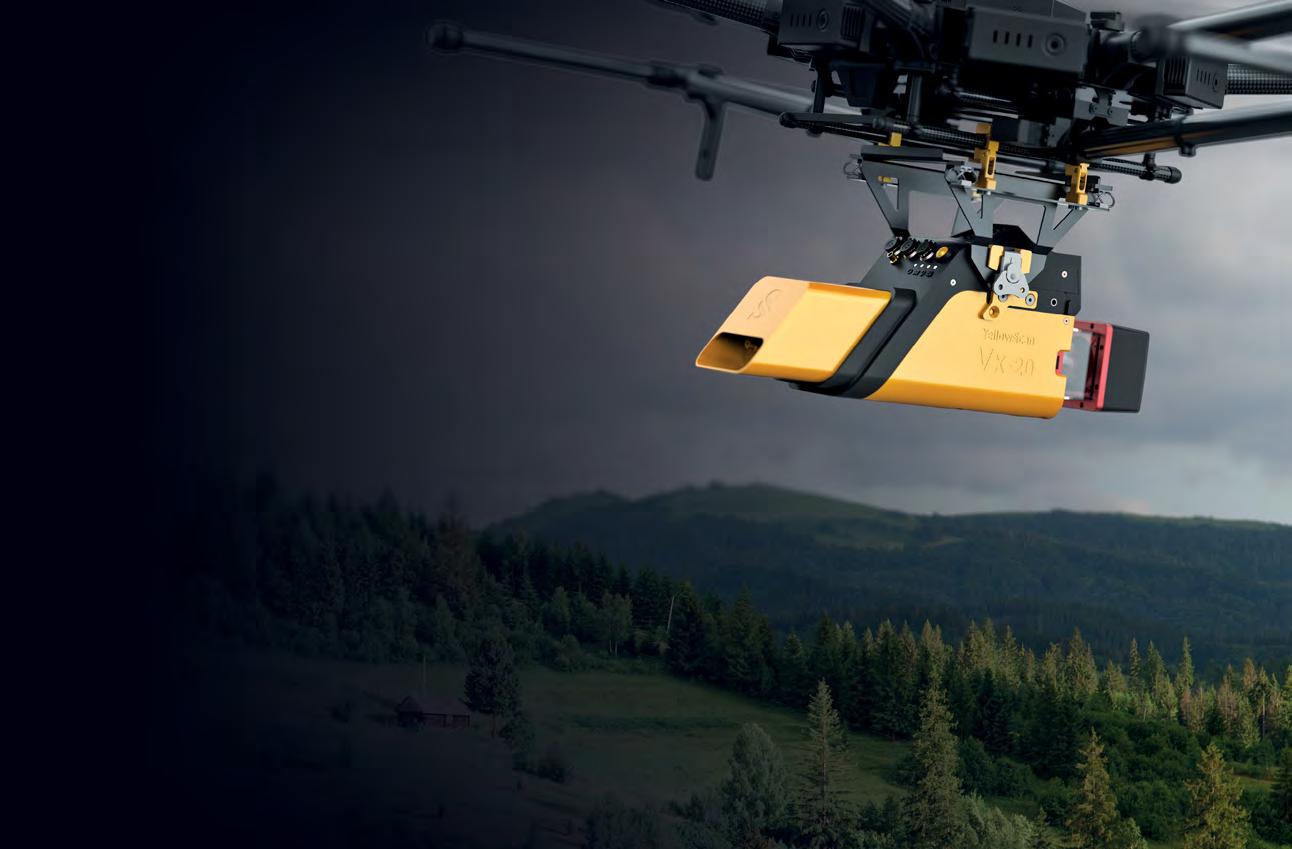
• Civil/Site Design • Construction Engineering • Construction Materials Engineering & Testing • Energy • Environmental, Health, and Safety • Geotechnical • MEP • Structural • Survey & Geospatial • Transportation • Urban Planning & Design • Water Resources • Water/Wastewater PARTNERS FOR WHAT’S POSSIBLE www.pennoni.com Join our Survey Team in Florida today! Upcoming demo days: August 2nd, 2023 - Hollister, CA August 10th, 2023 - Fredericksburg, VA September 14th, 2023 - Salisbury, MD YellowScan Vx20 series. A UAV LiDAR solution for high-flight projects with quick data processing needs. July/August 2023 Page 14
W HY FSMS?
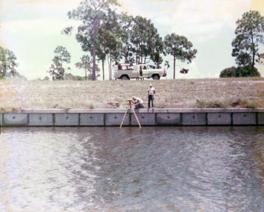
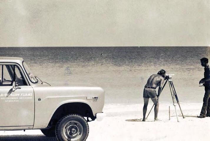
FSMS is a professional membership society representing the Surveying & Mapping Profession, including: Photogrammetry, Imagery, Remote Sensing, Base Mapping, GIS/LIS, Cartography, Geodesy, Geomatics, GPS, Geographic Information and Geospatial Data.
MEMBERSHIP OPPORTUNITIES
• NETWORKING
• CONTINUING EDUCATION
• LEGISLATIVE FSMPAC
• PROMOTING THE PROFESSION
• PROTECTING LICENSURE
• ADDRESSING UNLICENSED PRACTICE
• ENCOURAGING FUTURE SURVEYORS

• AWARDS & SCHOLARSHIPS
• CAREER OPPORTUNITIES
The Florida Surveyor Page 15
July/August 2023 Page 16
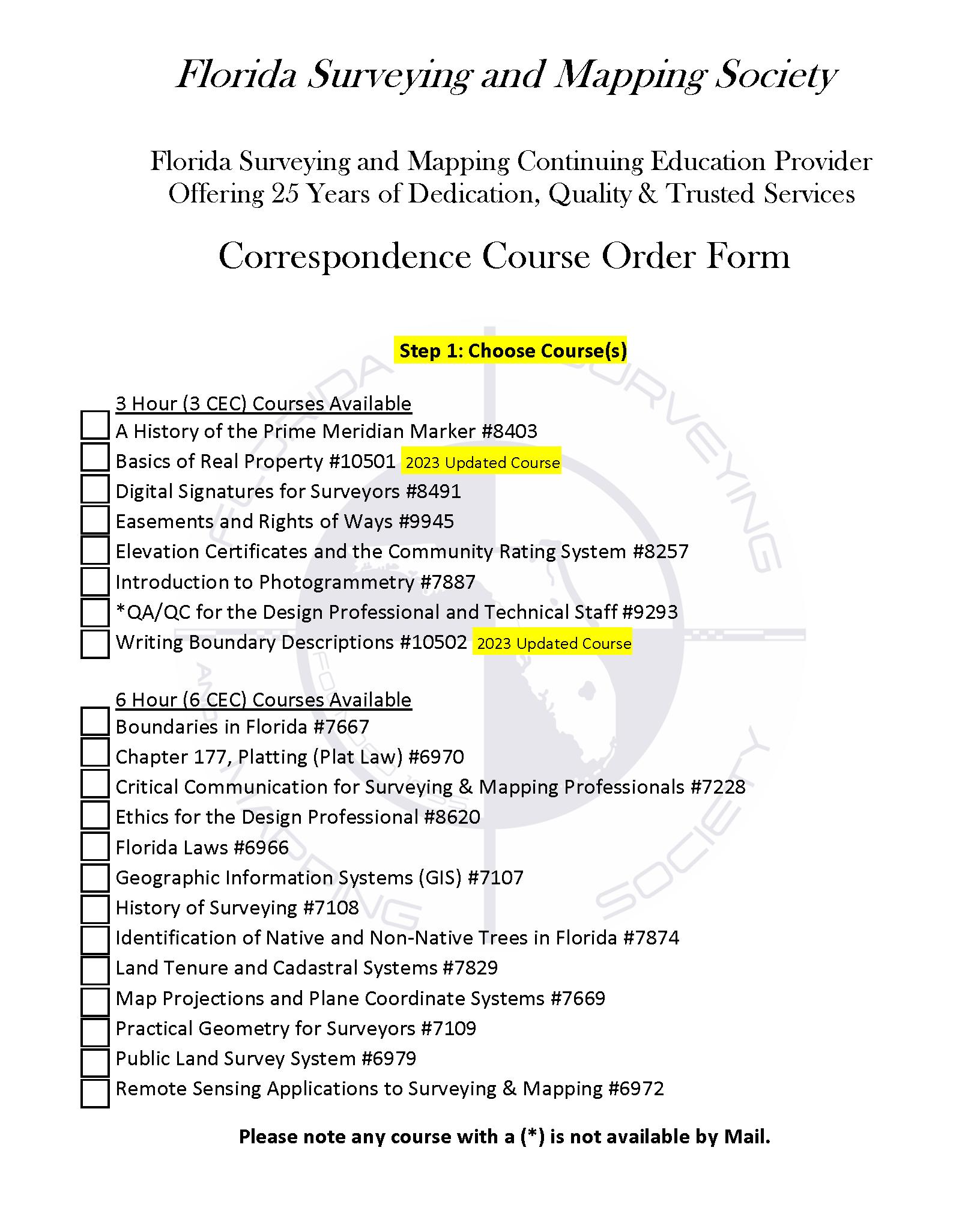
Billing Address of Credit Card: _____________________________________________________________________ Signature: _____________________________________ __
IF PAYING BY CHECK, MAIL FORM TO: FSMS, P.O. Box 850001-243, Orlando, Florida 32885-0243
IF PAYING BY CREDIT CARD, FAX OR EMAIL FORM TO: 850.877.4852 education@fsms.org QUESTIONS? CALL 800.237.4384
FSMS Member EMAILED Fee Quantity Amount 6 CEC $115 Per Course x = $ 3 CEC $58 Per Course x = $ MAILED 6 CEC $125 Per Course x = $ 3 CEC $68 Per Course x = $ TOTAL $ Non-Member Non-Licensed in ANY State Name: ___ YES ___ NO Firm: ___________________ _ YES _ _ NO Address: ______________________________________________________________________________________ City/State: Email Address: __________________________________________ Work Phone: Payment Information: ________ Check Enclosed (Payable to FSMS) ________ VISA/MasterCard/American Express Card
Exp. Date: __ CVV Code:___________
Step 2: Choose Member Type
#: _______
Provider
The Florida Surveyor Page 17
No. CE11 fsms.org


3002 Surveying 352-538-1320 A AA Surface Pro, Inc. 239-471-2668 A. D. Platt & Associates, Inc. 850-329-5551 Agnoli,
Inc. 239-597-3111 AIM Engineering & Surveying 239-332-4569 Allen & Company, Inc. 407-654-5355 Allen Engineering 321-783-7443 American Surveying, Inc. 813-234-0103 Amerritt, Inc. 813-221-5200 Arc
Inc. 904-384-8377 Ardurra,
239-292-7773 Associated
407-869-5002 Atwell,
Avirom
Axis
B Banks Engineering
Barnes,
Bartram
Benchmark
Bennett-Panfil,
Bowman
703-454-1000 Bradshaw-Niles
904-829-2591 Brown
561-615-3988 BSE
321-725-3674 Buchanan
C Calvin, Giordano & Associates, Inc. 954-921-7781 Carlson Environmental Consultants, PC 704-283-9765 Carnahan, Proctor
Inc. 407-960-5980
The Florida Surveyor Page 19
Barber & Brundage,
Surveying & Mapping,
Inc.
Land Surveying & Mapping, Inc.
LLC 866-850-4200
& Associates, Inc. 561-392-2594
Geospatial, LLC 410-822-1441
239-939-5490
Ferland and Associates, Inc. 407-896-8608 Barraco & Associates, Inc. 239-461-3170
Trail Surveying, Inc. 904-284-2224 Bello & Bello Land Surveying Corporation 305-251-9606
Surveying & Land Planning, Inc. 850-994-4882
Inc. 941-497-1290 Berntsen International 608-443-2772 Betsy Lindsay, Inc. 772-286-5753 Biscayne Engineering Company, Inc. 305-324-7671 Boatwright Land Surveyors, Inc. 904-241-8550 Bock & Clark Corporation(NV5) 330-665-4821
Consulting Group
& Associates, Inc.
& Phillips, Inc.
Consultants, Inc.
& Harper, Inc. 850-763-7427
& Cross,
202 3 S u S taining
F irm S Directory

Carter
Caulfield
Chastain-Skillman,
CHW
CivilSurv
Clements
941-729-6690 Clymer
Coastal
Colliers
Collins
Cousins
CPH
Craven-Thompson
Culpepper
DeGrove
Dewberry
Donoghue
DSW
352-735-3796
Durden Surveying
E ECHO UES, Inc. 888-778-3246 Eda
352-373-3541 Eiland
904-272-1000 Element
Engenuity
July/August 2023 Page 20
Associates, Inc. 772-562-4191
& Wheeler 561-392-1991
Inc. 863-646-1402
Professional Consultants (Causseaux,Hewett & Walpole, Inc.) 352-331-1976
Design Group, Inc. 863-646-4771
Surveying, Inc.
Farner Barley Surveying, Inc. 352-748-3126
Engineering Associates, Inc. 352-796-9423
Engineering & Design 732-383-1950
Survey Consulting, LLC. 863-606-2155
Surveyors & Associates, Inc. 954-689-7766
Consulting, LLC 407-322-6841
& Associates, Inc. 954-739-6400
& Terpening, Inc. 772-464-3537 Cumbey & Fair, Inc. 727-797-8982 D
Surveyors, Inc. 904-722-0400 Dennis J. Leavy & Associates 561-753-0650
407-843-5120 DMK Associates, Inc. 941-412-1293 Donald W. McIntosh Associates, Inc. 407-644-4068
Construction Layout, LLC. 321-248-7979 Douglass, Leavy & Associates, Inc. 954-344-7994 DRMP, Inc. 833-811-3767 DroneView Technologies 248-321-9417
Surveying & Mapping, PLC.
Duncan-Parnell, Inc. 800-849-7708
and Mapping, Inc. 904-853-6822
Consultants, Inc.
& Associates, Inc.
Engineering Group, LLC. 813-386-2101
Group, Inc. 561-655-1151

Engineering Design
Construction,
772-462-2455 ER
305-860-3866 ESP Associates,
803-802-2515 ETM
904-642-8550 Exacta
866-735-1916 EXP Energy Services Inc. 305-213-9969 F Ferguson Land Surveyors 727-230-9606 First Choice Surveying, Inc. 407-951-3425 Florida
Florida
FLT
Ford,
Frontier
G
H Haley
HUB International
Hyatt Survey Services 941-748-4693
The Florida Surveyor Page 21
&
Inc.
Brownell & Associates, Inc.
Inc.
Suryeying & Mapping
Land Surveyors, Inc.
Design Consultants, Inc. 727-849-7588
Engineering & Surveying, LLC. 941-485-3100
Geosystems 954-763-5300
Armenteros & Fernandez, Inc. 305-477-6472 Fortin, Leavey, Skiles, Inc. 305-653-4493
Precision Unmanned 701-222-2030 F.R.S. & Associates, Inc. 561-478-7178
GCY, Inc. 772-286-8083 GeoData Consultants, Inc 407-732-6965 Geoline Surveying 386-418-0500 Geo Networking, Inc. 407-549-5075 GeoPoint Surveying, Inc. 813-248-8888 George F. Young 727-822-4317 Geosurv, LLC 877-407-3734 Germaine Surveying, Inc. 863-385-6856 GPI Geospatial, Inc. 407-851-7880 Gustin, Cothern & Tucker, Inc. 850-678-5141
Ward, Inc. 207-989-4824 Hanson Professional Services, Inc. 217-788-2450 Hanson, Walter & Associates, Inc. 407-847-9433 H.L. Bennett & Associates, Inc. 863-675-8882 Hole Montes, Inc. 239-254-2000
850-386-1111
202 3 S u S taining

I Ibarra Land Surveyors 305-262-0400 I.F. Rooks & Associates, LLC. 813-752-2113 J John Mella & Associates, Inc. 813-232-9441 Johnston’s Surveying, Inc. 407-847-2179 K KCI Technologies 954-776-1616 Keith and Associates, Inc. 954-788-3400 Kendrick Land Surveying, LLC 863-533-4874 L L&S Diversified, LLC. 407-681-3836 Land Precision Corporation 727-796-2737 Landmark Engineering & Surveying Corporation 813-621-7841 Langan Engineering and Environmental Services, Inc. 973-560-4900 Leading Edge Land Services, Inc. 407-351-6730 Leiter Perez & Associates, Inc. 305-652-5133 Lengemann Corp. 800-342-9238 Leo Mills & Associates 941-722-2460 Longitude Surveyors, LLC 305-463-0912 Long Surveying, Inc. 407-330-9717 M Manuel G. Vera & Associates, Inc. 305-221-6210 Marlin Engineering Inc. 305-477-7575 Massey-Richards Surveying & Mapping, LLC. 305-853-0066 Masteller, Moler & Taylor, Inc. 772-564-8050 McKim & Creed, Inc. 919-233-8091 McLaughlin Engineering, Co. 954-763-7611 Metron Surveying and Mapping, LLC. 239-275-8575 Mills & Associates, Inc. 813-876-5869 Mock Roos & Associates, Inc. 561-683-3113 Moore Bass Consulting, Inc. 850-222-5678 Morris-Depew Associates, Inc. 239-337-3993 Murphy’s Land Surveying 727-347-8740
Directory July/August 2023 Page 22
F irm S

N Navigation Electronics, Inc. 337-237-1413 Northwest Surveying, Inc. 813-889-92356 NV5, Inc 954-495-2112 O On The Mark Surveying, LLC. 321-626-6376 P PEC Surveying & Mapping 407-542-4967 Pennoni Associates, Inc. 863-594-2007 Perret and Associates, Inc 904-805-0030 Pickett & Associates, Inc. 863-533-9095 Platinum Surveying & Mapping, LLC. 863-904-4699 Point Break Surveying 941-378-4797 Polaris Associates, Inc. 727-461-6113 Porter Geographical Positioning & Surveying, Inc. 863-853-1496 Pulice Land Surveyors, Inc. 954-572-1777 Q Q Grady Minor & Associates, PA 239-947-1144 R Reece & White Land Surveying, Inc. 305-872-1348 Rhodes & Rhodes Land Surveying, Inc. 239-405-8166 Richard P. Clarson & Associates, Inc. 904-396-2623 River City Surveying & Mapping, LLC 904-675-9300 R.J. Rhodes Engineering, Inc. 941-924-1600 R.M. Barrineau & Associates, Inc. 352-622-3133 Robayna and Associates, Inc. 305-823-9316 S SAM Surveying & Mapping, LLC. 850-385-1179 SCR & Associates NWFL Inc. 850-527-1910 Sergio Redondo & Associates, Inc. 305-378-4443 Settimio Consulting Services, Inc. 850-341-0507 SGC Engineering, LLC. 407-637-2588 Shah Drotos & Associates, PA 954-943-9433 Sherco, Inc. 863-453-4113 Sliger & Associates, Inc. 386-761-5385 202 3 S u S taining The Florida Surveyor Page 23
F irm S Directory
Southeastern Surveying & Mapping Corp.
407-292-8580
Stephen H. Gibbs Land Surveyors, Inc.
954-923-7666
Stoner Inc.
954-585-0997
Survey Data Solutions, LLC
352-816-4084
Surveying & Mapping Inc.
239-340-2409
SurvTech Solutions, Inc.
813-621-4929
Thurman Roddenberry & Associates
850-962-2538
TranSystems Corporation Consultants
727-822-4151
WBQ Design & Engineering, Inc.
407-839-4300
Whidden Surveying
561-790-5515
Winnigham & Fradley, Inc.
954-771-7440
UWoolpert, Inc.
803-214-5928
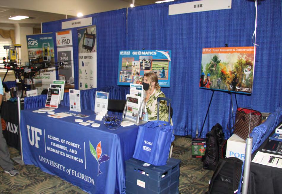
UF/IFAS School of Forest, Fisheries, and Geomatics Sciences
352-846-0850
Upham, Inc.
386-672-9515
ZZNS Engineering, LLC.
941-748-8080
SOCIAL MEDIA LINKS

T2 UES Inc.
407-587-0603
Tectonic Engineering and Surveying Consultants

845-534-5959
Wade Surveying, Inc.
352-753-6511
Wallace Surveying Corp.
561-640-4551
Wantman Group, Inc.(WGI)
561-687-2220
LinkedIn = 658 Followers
Facebook = 829 Followers
X = 353 Followers
Instagram = 221 Followers
YouTube
T
W
July/August 2023 Page 24
68 th Annual Conference


The Florida Surveyor Page 25
Annual Conference Recap
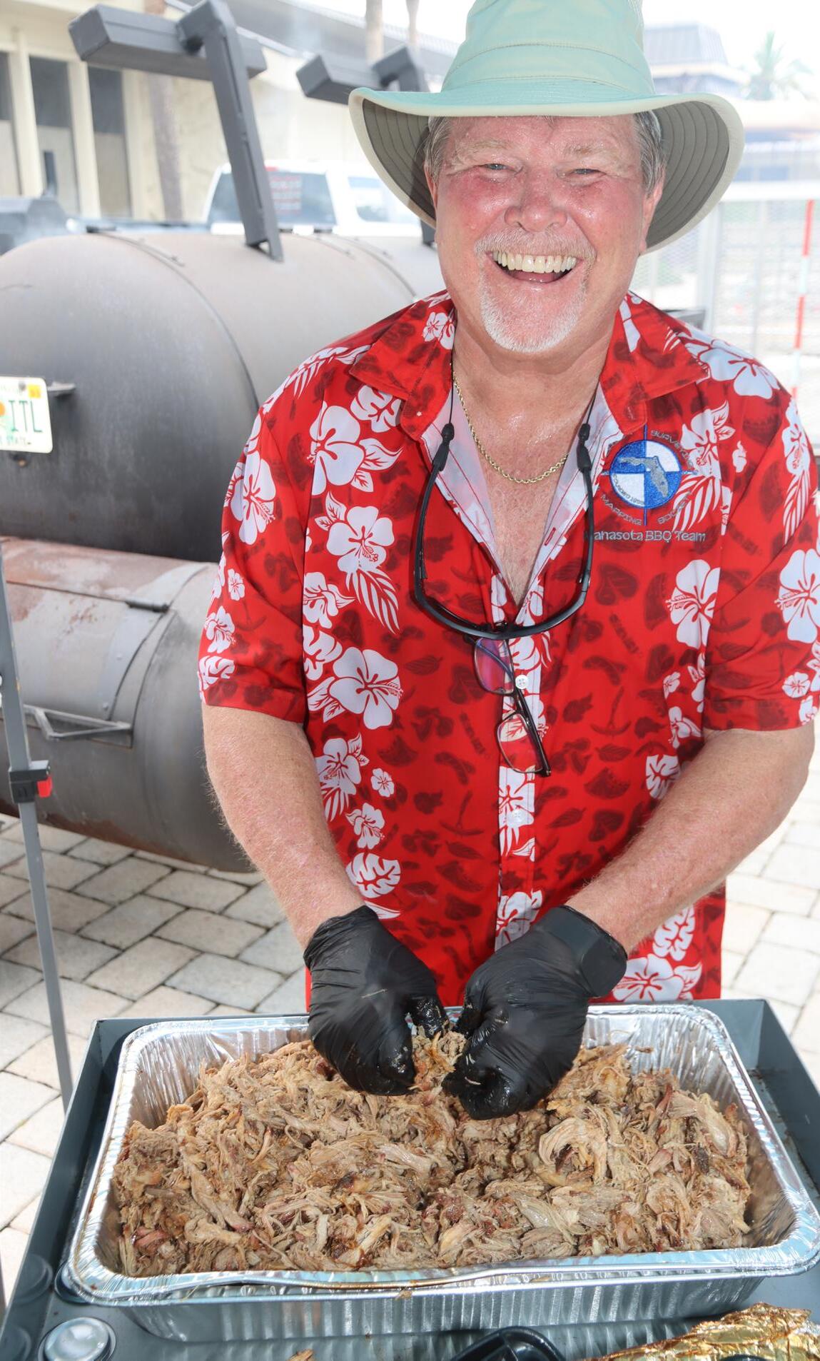
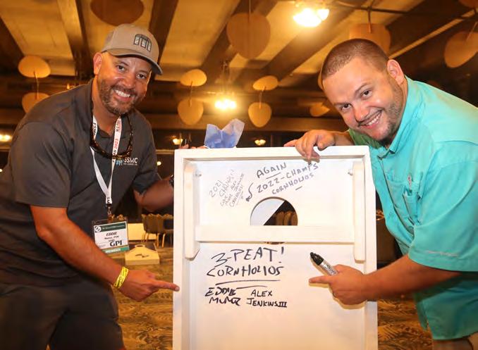
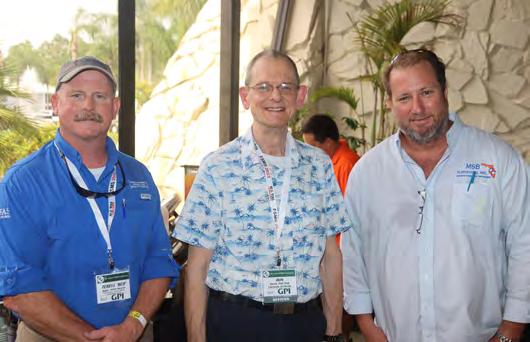
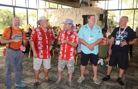

July/August 2023 Page 26
68 th Annual Conference
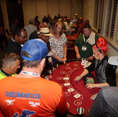
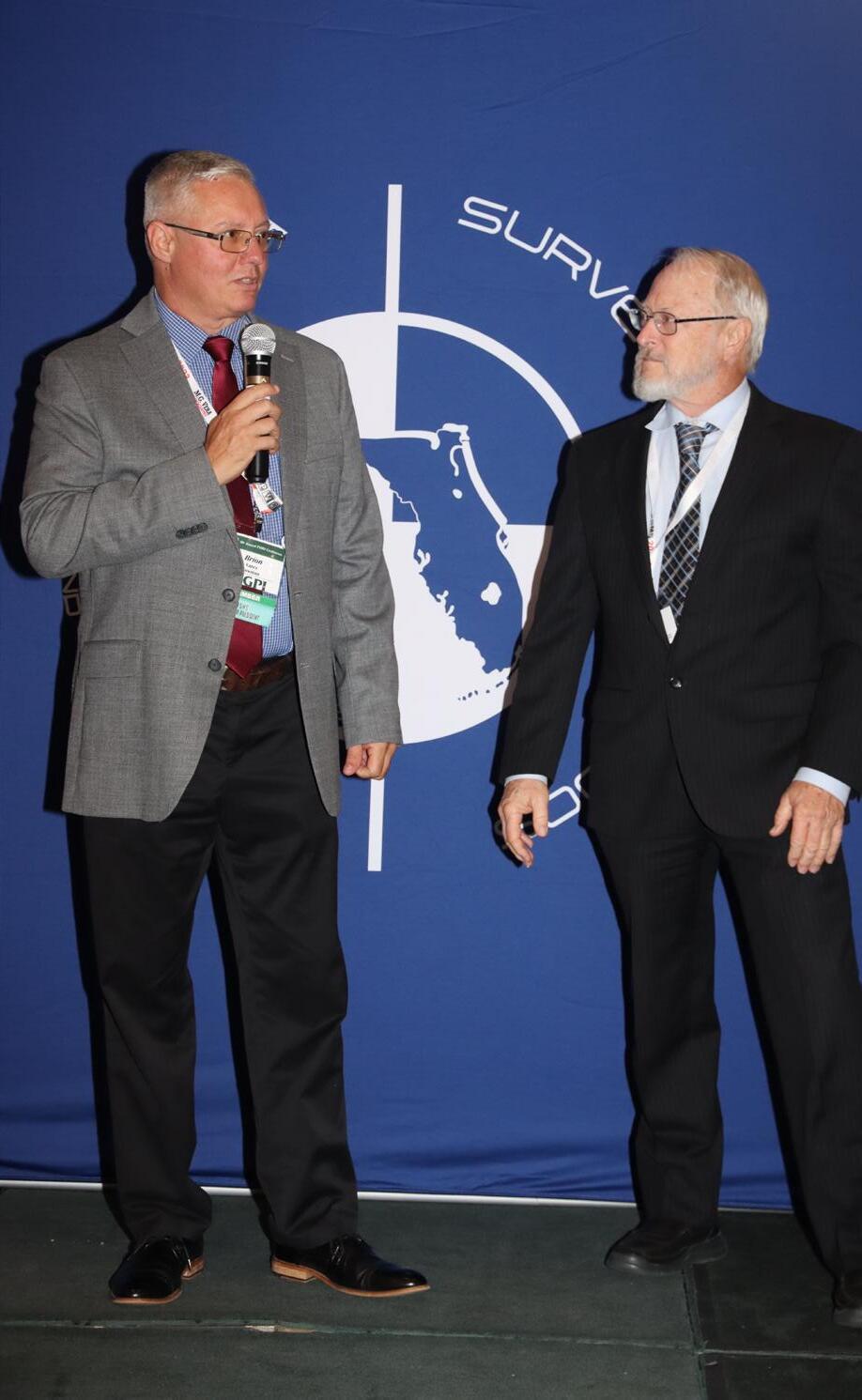

The Florida Surveyor Page 27
Annual Conference Recap
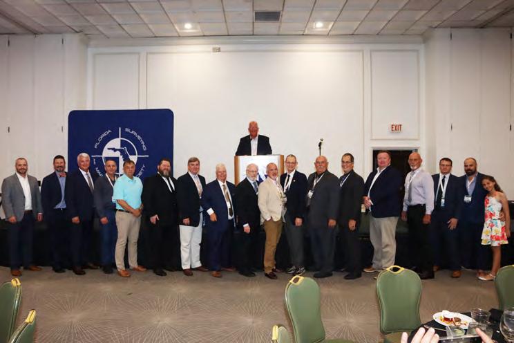
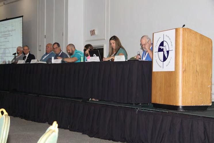
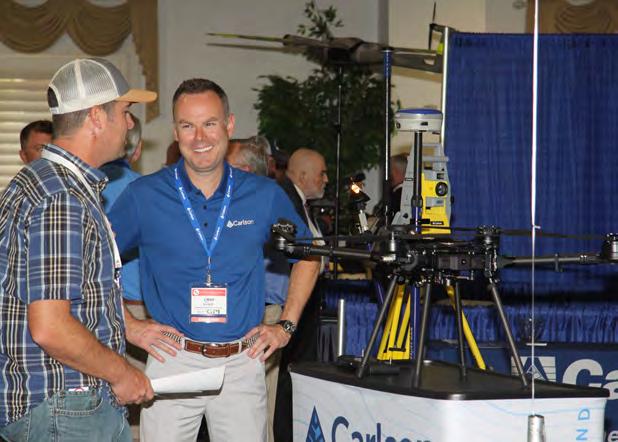
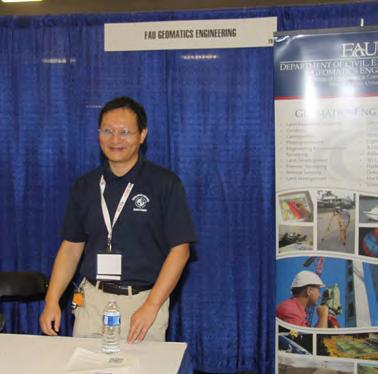
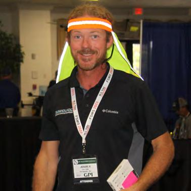
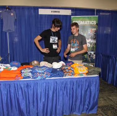

Page 28 July/August 2023
Exhibitors Sponsors

Exhibitors PLATINUM
Duncan-Parnell
Duncan-Parnell is an authorized Trimble dealer for land survey, mapping/GIS, and construction instruments and accessories, and has been the leading provider of survey & mapping solutions in Florida for over 20 years. Our product offerings include GNSS receivers for both survey & mapping applications, robotic and manual total stations, software for workflow integration, digital and automatic levels, 3D laser scanners, utility locating equipment, construction lasers, as well as a full range of field supplies and accessories. Not only is Duncan-Parnell a full field-to-finish provider, but our Geospatial team has decades of industry experience, certified maintenance centers, and experienced trainers on staff. We’re ready to be a trusted partner and assist with your sales, rental, or maintenance needs.

to All our Exhibitors & Sponsors The Florida Surveyor Page 29
Exhibitors
Navigation Electronics, Inc.

Navigation Electronics, Inc. (NEI) is a woman-owned small business, with Barbara Poche serving as President & CEO. We are a Trimble Geospatial solution provider in the S.E. and have been in business for 35 years. NEI represents Trimble as it's premier product line distributor and has been a Trimble distributor since 1990. We provide excellent customer service with a long history of customer satisfaction. NEI has assembled a team of professionals, each having unsurpassed expertise in various areas of Surveying. We currently have three licensed land surveyors on staff, two GIS professionals, and three Part 107 pilots. Corporate headquarters is a state-ofthe-art facility with a training center and over 100 years of service experience in Lafayette, LA. NEI has a sales office in Duluth, GA, and maintains satellite offices in Florida, Mississippi, Alabama, and Arkansas, and currently employs 28 people.

SmartDrone
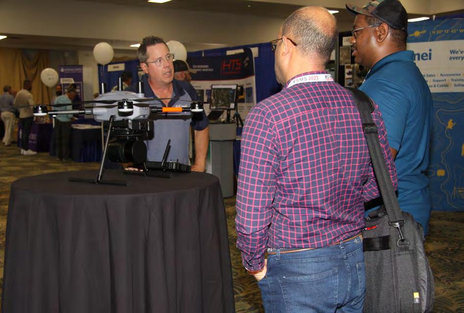
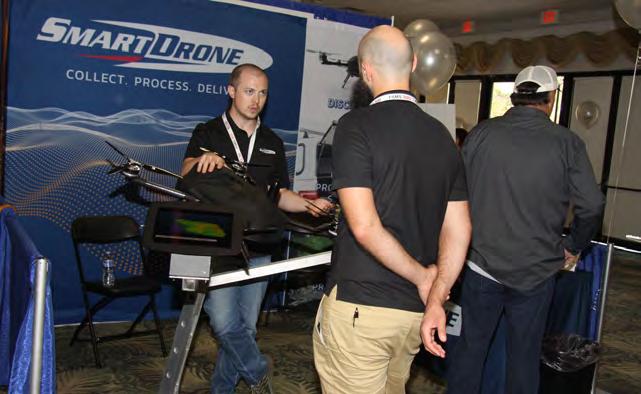
Founded in 2020 and based in Tyler, Texas, SmartDrone is a leading innovator in the field of unmanned aerial technology. We design, engineer, and manufacture state-of-the-art aerial mapping lidar drones. Our products are designed to redefine industry standards and are equipped with advanced technology to deliver highly accurate data. SmartDrone is not just a drone manufacturer; we are a complete solution provider. With our team of drone mapping specialists stationed across the U.S., we offer comprehensive aerial mapping services that cover every phase from data capture to delivery. Our team is dedicated to provide accurate, timely, and high-quality data to support the vital work of surveyors, civil engineers, and architects.

SILVER
July/August 2023 Page 30
TopoDOT

TopoDOT is a leading software development company located in Winter Garden, FL, specializing in LiDAR and point cloud processing solutions. TopoDOT develops, sells and supports TopoDOT, a high performance MicroStation application for importing and extracting topography and models from point clouds, calibrated images, and related data.
Airworks
AirWorks is an AI-powered autonomous drafting software for firms in the built world. We developed a platform that allows firms to quickly get CAD drawings from their aerial images, shortening the current traditional process by weeks, if not months. With our AI-powered algorithms, the data files that you upload are autonomously identified and categorized such that our software can then churn out a pixelaccurate engineering plan. Our software is available around the world to whoever needs it and remains 100% web-based, meaning that it is accessible to almost anyone, at the office or on-the-go.

The Florida Surveyor Page 31
STANDARD
Exhibitors
SILVER
Exhibitors
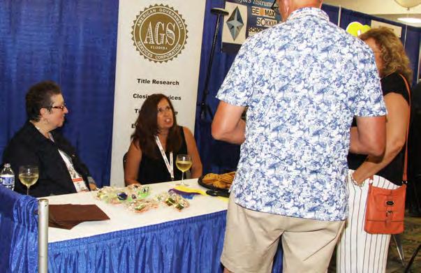
American Government Services Corporation
American Government Services (AGS) is a full-service title company that specializes in providing real estate services to government agencies. AGS has been providing title and closing services in the State of Florida since 1979. American Government Services is a 100% women-owned business, certified as a DBE/MBE firm with the State of Florida and registered as a real estate broker corporation with the Florida Department of Business and Professional Regulation. AGS hopes to meet and exceed all of your Title service needs.

ATWELL

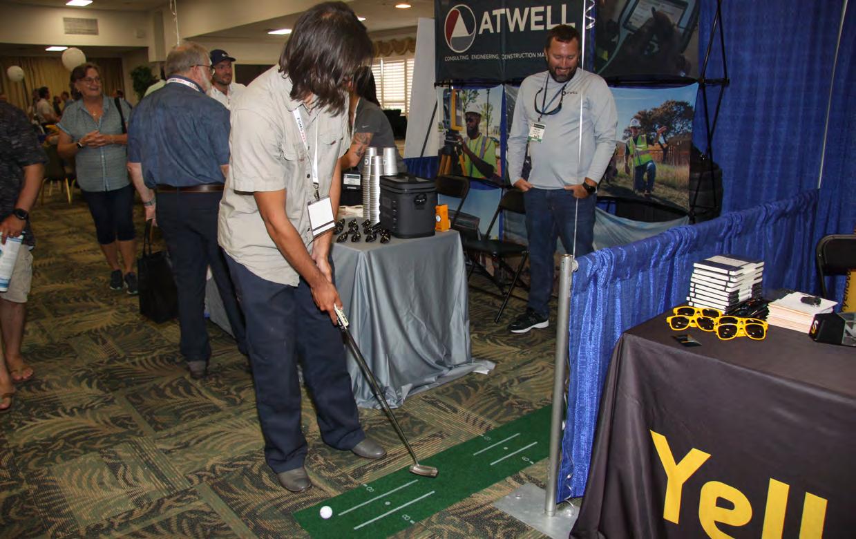
Atwell, LLC is a national consulting, engineering, and constructionservices firm with offices throughout the country that deliver a broad range of strategic and creative solutions to clients in three core markets: real estate and land development, power and energy, and oil and gas. Atwell provides comprehensive turnkey services including land and right of way support, engineering, land surveying, environmental compliance and permitting, and project and program management.

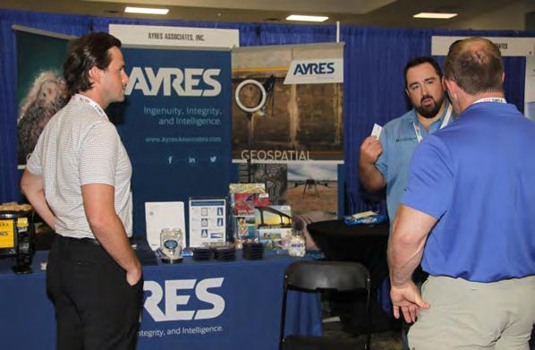
AYRES
With 300+ innovative problem-solvers nationwide, we stand with integrity behind thousands of projects engaging in multiple service lines and specializing in survey and mapping services. With clients as varied as the topography we've surveyed; our expertise is suited for a range of project possibilities. Our team of surveying and mapping professionals applies a blend of cutting-edge technology and proven principles, working with our peers in the engineering disciplines to provide land surveying, HD laser scanning services, high-accuracy aerial lidar and imagery, photogrammetric and stereo compilation, and unmanned aerial system (UAS) lidar and imagery.
STANDARD
Exhibitors
STANDARD
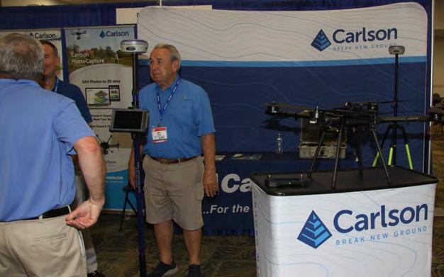
Carlson Preferred Solutions
Carlson Preferred Solutions is the exclusive Carlson Software


Authorized Dealer for the state of Florida. Specializing in Carlson centric GNSS RTKbase and rover solutions, total stations, RTK drones, data collection hardware & software, and CAD software to the Land Surveyor, CivilEngineer, and Construction professional.
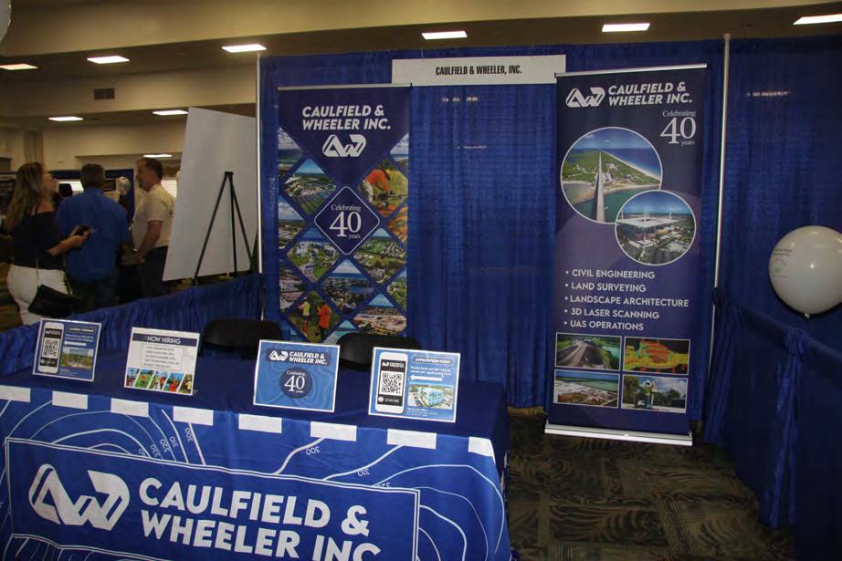
Caulfield & Wheeler
Caulfield & Wheeler, Inc. (CWI) was incorporated in October of 1982 in Palm Beach County, Florida. Its principals and employees provide professional Civil Engineering, Planning, Land Surveying, Landscape Architecture, 3D Laser Scanning, and Unmanned Aerial Systems services. CWI has been contracted by many prestigious municipalities, developments, and governmental agencies throughout Florida. CWI's principals have over 200 years of combined experience serving as active project managers, ensuring every project meets our technical quality standards while remaining within the client's budget and schedule.

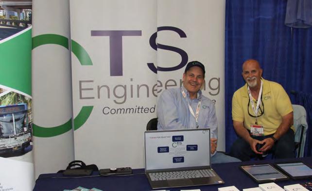
CTS Engineering
CTS Engineering, Inc is a well-known and respected leader in providing Professional Engineering services throughout the State of Florida for over 12 years. We offer a wide array of services to our clients including transportation planning, traffic engineering, public transit support, improvements and surveying and mapping services. Our team of Professional Surveyors & SUE experts have provided high quality deliverables for Surveying & Mapping assignments to our clients including utility coordination to many FDOT Districts, Counties and Cities. CTS is a certified DBE firm with offices throughout the state to support all your Surveying, SUE & Utility Coordination needs. CTS will provide a turnkey package of all these services.

Dorado Graphix LLC


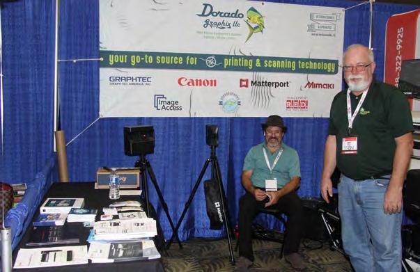
Dorado Graphix LLC is your go-to source for all large format printing, laminating, and scanning equipment and their associated software and supplies. We have media for every application from CAD Bond, to photogrades, to outdoor banner material and much more. We service everything we sell and some that we don’t. We are a veteran owned company who pride ourselves with providing quality products, service and training for our customers. Please call us at (904) 751-4500 or visit our website www.doradographix.com
eGPS Solutions
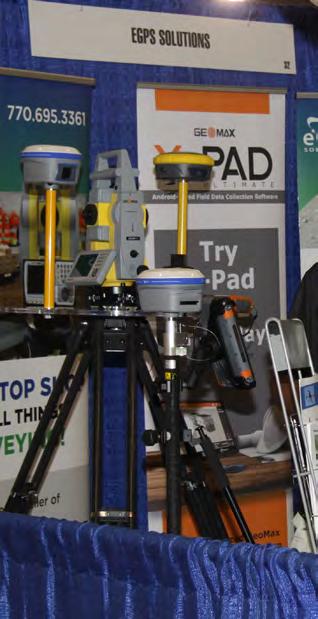
At eGPS Solutions, we are a full-service survey equipment dealer just a phone call away. We sell top-quality equipment from GeoMax, CHC, DJI,and LiDARUSA at the best prices to create unique solutions for all your surveying needs. In addition, we offer a whole suite of services to support our customers to the fullest. Our services include M2M data plans, certified repairs, technical support, and UAV-LiDAR training, all just a phone call away. So look no further than us for all your surveying needs because, at eGPS Solutions, we will not let you fail.
EMLID
Emlid makes RTK receivers Reach for surveying and mapping. The company also develops software for land surveyors: ReachView3 for data collection, Emlid Studio for data postprocessing, and NTRIP caster for transmitting RTCM corrections. Emlid enhances RTK GNSS and engineers modern geomatics tools relying on surveyors’ experience. Emlid distributes its products via the online store and through the worldwide network of dealers.
STANDARD Exhibitors
July/August 2023 Page 34
Exhibitors
Florida Atlantic University
The NCEES award winner, Florida Atlantic University Bachelor of Science degree in Geomatics Engineering is one of the stateof-the-art ABET accredited engineering programs in the nation. The award-winning faculty has outstanding teaching and research experience and diverse professional backgrounds. Students can collaborate with other engineering and science disciplines such as geosciences, computer science, urban planning, and other fields. While this program prepares students for the Professional Land Surveyor (PLS) license, some studentssuccessfully pass the NCEES Fundamental of Surveying (FS) and Fundamental of Engineering(FE) examinations before graduating from the program.
FLT Geosystems

FLT Geosystems (Florida Level & Transit) is a full-line dealer for Leica Geosystems (optical, GPS, HDS scanning, & lasers), Topcon Positioning (optical & lasers), Spectra Precision (optical, data collectors, & lasers), Carlson Software, Septentrio, and many more. Our home office is in Ft. Lauderdale, with a full-service office in Tampa.
FREAC
The Florida Resources and Environmental Analysis Center (FREAC), established in 1969, is the original center within the Institute of Science and Public Affairs (ISPA) at Florida State University (FSU). FREAC professionals conduct research in the general areas of resource management and environmental analysis, as well as provide advice and technical assistance to state and local agencies. Public lands research and analysis, geographic information system development, and graphic representation of digital databases are current and long-range FREAC research interests. FREAC also trains university students in these areas through direct involvement in projects, providing real-world experiences.
STANDARD
Exhibitors
STANDARD
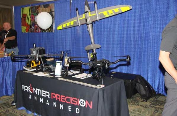
Frontier Precision Unmanned
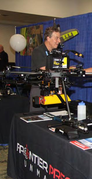
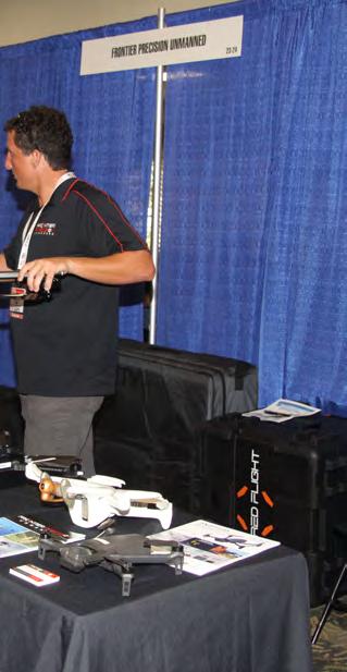
Frontier Precision Unmanned has the latest innovations in drone aircraft and sensors to fit your job or application. We offer industryleading products and software from Ascent AeroSystems, Autel Robotics, Censys Technologies, DJI, Freefly Systems, Inspired Flight, Parrot, Quantum-Systems, Watts Innovations, YellowScan, Emesent, Deep Trekker, Phase One, FLIR, Pix4D, and many others to make sure you get the right product for the right UAS application. UAS applications include geospatial surveying & mapping, agriculture, construction, energy, forestry,infrastructure, mining, mosquito & vector control, oil & gas, and public safety.
Fugro

For over 65 years, Fugro has provided clients with customized geospatial solutions designed to accurately measure and characterize the earth. Fugro is highly competent and wholly committed to continue to provide exceptional service to our clients and its partnering agencies. From precise lidar derived 3D environments to ortho and oblique imagery, we support our local governments and commercial customers in transportation, utilities, emergency response, infrastructure development, and asset planning and management.
GeoNetworking

Geo Networking is a Topcon/Sokkia distributor located in central Florida. The company focuses on end-to-end sales through a consultive sales strategy. In this process, Geo Networking is able to match the right product to meet your team’s goals for your deliverables. Geo Networking is proud to offer the senseFly line of drones that include the eBee X and the powerful line of sensors. These products matched with the very well known products from Topcon/Sokkia make any job doable.

July/August 2023 Page 36
MAPPING A WORLD OF POSSIBILITY
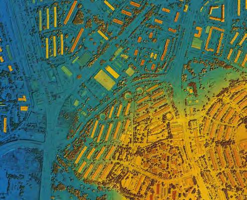

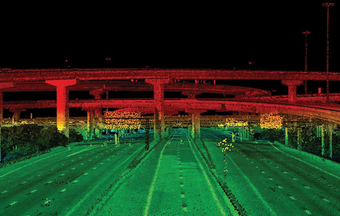
At McKim & Creed, we are surveyors who see a bigger purpose. We are experts at applying geo-intelligence to survey and map a world lled with possibility. With a strong commitment to the advancements of technology, we challenge the impossible to build the possible, advance our industry, and deliver value to our clients.

CONNECT WITH US MCKIMCREED.COM MATT LALUZERNE, PSM Business Development Director 321.233.9940 mlaluzerne@mckimcreed.com
Exhibitors
STANDARD
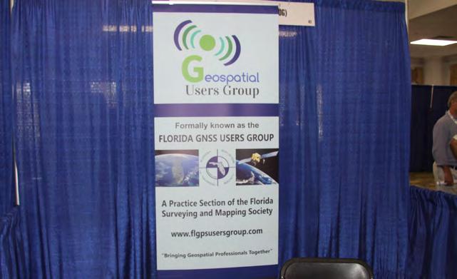
Geospatial Users Group


The Geospatial Users Group is a practice section of FSMS that facilitates Communication and Outreach between practitioners, experts, suppliers, and users of GNSS and their applicable systems. Its purpose is to act as a central voice to protect the accessibility and provide education of such systems. The Group promotes education, outreach, and information to act as a liaison between users and the various industries interacting with GNSS and advanced geomatic positioning based systems.
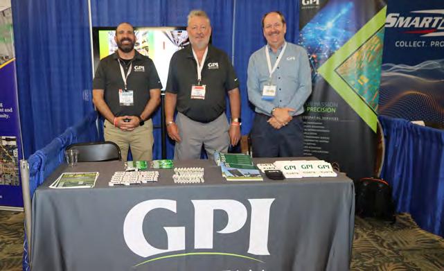
GPI Geospatial, Inc. (GPI) has been a premier provider of geospatial solutions for over 49 years. We provide precision mapping, imagery, and lidar acquisition as well as surveying services for transportation, planning, design, construction, energy, and government clientele. GPI owns and operates multiple aircraft and vehicles equipped with advanced imagery and Lidar sensors, providing customized solutions for our clients whether it’s from the air, ground, or mobile platforms. Our team can gather, assess, standardize, and optimize geospatial data for use across the enterprise using GIS technology.
 GPI
GPI
July/August 2023 Page 38
Exhibitors
STANDARD
G-Source Technologies

At Gsource Technologies, we believe that mind-blowing engineering isn't limited to the tech - it's also a product of the talented individuals crafting it. We merge our cutting-edge tech with deep-rooted engineering principles and decades of experience to engineer unparalleled results. From elaborate CAD models to thorough design assessments, our squad is here to fulfill your needs with speed and efficacy. We're at the forefront of cutting-edge technologies, like AI, machine learning, drone photogrammetry, LiDAR data processing, product design simulations, digital mockups, engineering designs, BIM, VDC, and digital twins, while catering to clients across industries like construction, fabrication, architectural, structural, electrical, general contractors, civil, geospatial, and manufacturing. Our exceptional solutions are the trailblazers that set off innovation and progress, bringing forth optimal results. Say goodbye to mediocrity - let's engineer a brighter tomorrow, together!
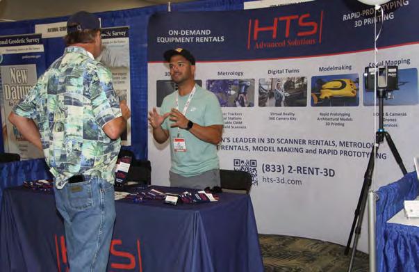
HTS Advanced Solutions

HTS Advanced Solutions is the leading provider of 3D measurement and mapping technology solutions in the US. Timely, and wellmaintained equipment drop-shipped to your door, 7 days a week, 24 hour emergency line for terrestrial, mobile and airborne 3D scanning/mapping and metrology equipment rentals. In addition to offering the most up-to-date gear worldwide, HTS Advanced Solutions provides global technical support 24/7. Trained operators are available to accompany the equipment and perform the field work if required. Offices in Florida, Texas, and California.

The Florida Surveyor Page 39
I.F. Rooks & Associates

Celebrating our 54th Anniversary, I.F. Rooks & Associates is a full-service geospatial firm, serving clients throughout the Southeastern United States. We provide a full suite of geospatial services including Aerial LiDAR, Fixed-wing and Low Altitude Photogrammetry. We are Pre-Qualified by FDOT in the 8.3 Workgroup - Photogrammetry. Our work experience in photogrammetry ranges from digital orthophotos and Low Altitude (Helicopter) mapping for DOT roadway projects to detailed GIS basemapping of major power producing plants and University campuses throughout the Southeast as well as the use of LiDAR technology for supporting photogrammetric mapping information.
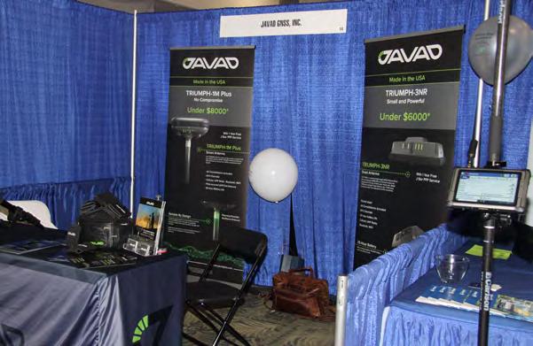
JAVAD GNSS, Inc.
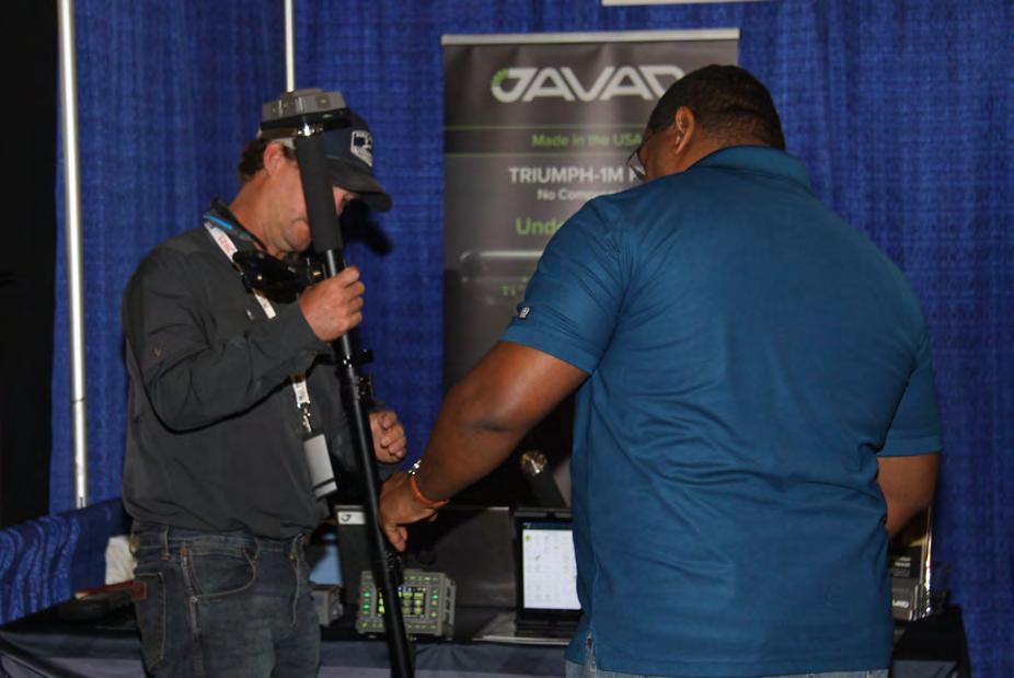
JAVAD GNSS designs and manufactures a complete land surveysolution engineered for accuracy and ease of use in challenging GNSS conditions. It’s all new TRIUMPH-1M Plus smart antenna and T3-NR network rover meet all the needs of high precision survey applications. All JAVAD GNSS products are proudly made in the USA at its factory in San Jose, California.

STANDARD Exhibitors
July/August 2023 Page 40
Exhibitors
STANDARD
Kucera International

Kucera International Inc. is a leading provider of aerial remote sensing, lidar processing/classification, ground surveying, photogrammetric mapping and imaging, geospatial data conversion and analysis, and related services for government, industrial/ commercial, professional, and educational/research applications. Kucera’s in-house staff of over 60 experienced geomatic professionals working at offices in Florida, Ohio, Pennsylvania, and South Carolina includes licensed/certified photogrammetrists, surveyors, engineers, GIS specialists, project managers, pilots, and aircraft mechanics. For data acquisition, Kucera operates a fleet of high-performance, multi-port manned aircraft outfitted with the latest generation in aerial lidar, digital aerial imaging, and multispectral sensing systems together with advanced GPS ground and airborne surveying technologies. For data processing, mapping, and analysis, Kucera uses a variety of robust, proven remote sensing, photogrammetric, imaging, and GIS and CAD technologies/software. Kucera regularly works throughout the State of Florida, Caribbean region, and other areas of the US. Kucera is a longstanding State of Florida professional surveying and mapping firm and a toprated FL DOR aerial services contractor.
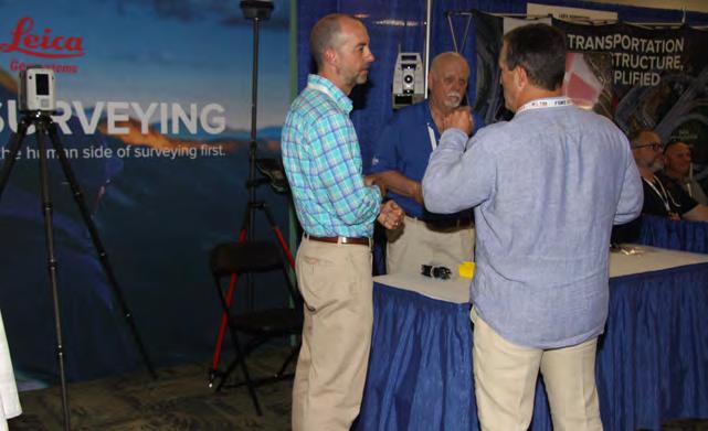
Leica Geosystems
Leica Geosystems – when it has to be right. Revolutionizing the world of measurement and survey for nearly 200 years, Leica Geosystems is the industry leader in measurement and information technologies. We create complete solutions for professionals across the planet. Known for innovative product and solution development, professionals in a diverse mix of industries, such as surveying and engineering, building and heavy construction, safety and security, and power and plant, trust Leica Geosystems for all their geospatial needs. With precise and accurate instruments, sophisticated software, and trusted services, Leica Geosystems delivers value every day to those shaping the future of our world.
Exhibitors
STANDARD
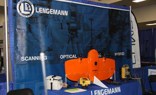
Lengemann


Established in 1962, Lengemann Corporation is celebrating 60 years of meeting customer needs. Lengemann Corporation is one of the leading Topcon and Sokkia full line surveying instrument dealers in the United States. We sell/rent/finance GPS, Robotics, Total Stations, Drones, Machine Control, and supplies. Lengemann Corporation is the only authorized Topcon and Sokkia master repair facility in the state of Florida. We also operate one of the largest, privately owned GPS networks in the U.S. called L-Net. Our new onsite training facility is equipped for all your survey and machine control needs.
McKim & Creed
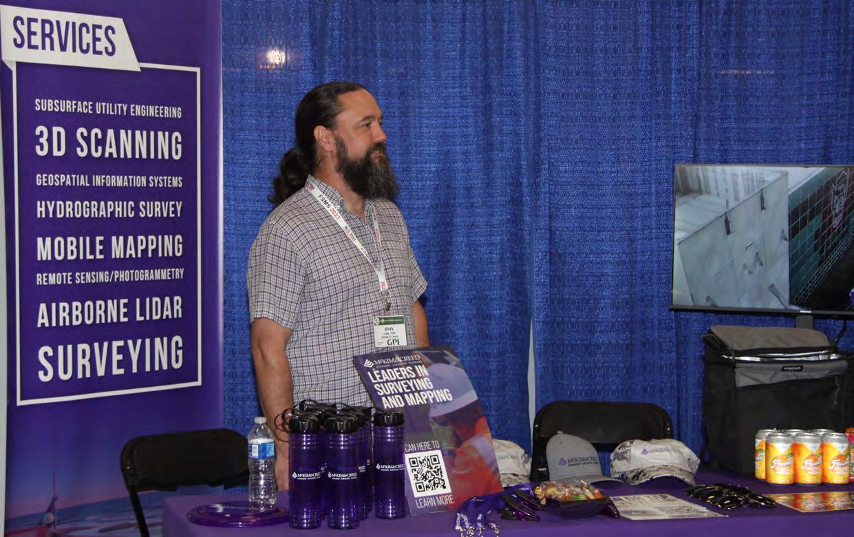
McKim & Creed is an award-winning, employee-owned engineering,survey and planning firm with more than 800 employees operating in offices throughout Florida, Georgia, South Carolina, North Carolina, Virginia, Texas, Louisiana, and Pennsylvania. McKim & Creed specializes in airborne and mobile LiDAR/scanning; unmanned aerial systems; subsurface utility engineering; hydrographic and conventional surveying services; civil, environmental, mechanical, instrumentation, plumbing, and structural engineering; and industrial designbuild services for the energy, transportation, government, land development, healthcare, industrial, and water industries.

July/August 2023 Page 42
Multicopter Warehouse
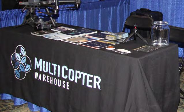
MultiCopter Warehouse is a specialized distributor of Unmanned Solutions for commercial applications in the construction, earthworks, road building, surveying, mapping, inspection, public safety, accident reconstruction, mining, and aggregate industries. We sell drones, sensor payloads, and software solutions from major manufacturers; such as DJI, FLIR and Pix4D. Our solutions utilize GPS guided Unmanned Aerial vehicles, plus Lidar, Thermal and Photogrammetry based payload technology. Established in 2014 and based in Denver, CO – we are a premier distributor for DJI Enterprise across the US and Canada. Come see the latest aircraft models from DJI Enterprise along with its leading-edge payloads, the L1 Lidar sensor, and the P1 Camera.
National Geospatial Agency (NGA)

The National Geospatial-Intelligence Agency (NGA) delivers world-class geospatial intelligence that provides a decisive advantage to policymakers, military service members, intelligence professionals and first responders. Anyone who sails a U.S. ship, flies a U.S. aircraft, makes national policy decisions, fights wars, locates targets, responds to natural disasters, or even navigates with a cell phone, relies on NGA. NGA enables all of these critical actions and shapes decisions that impact our world through the indispensable discipline of geospatial intelligence (GEOINT).

STANDARD Exhibitors
The Florida Surveyor Page 43
Land Survey + Aerial Mapping + GIS
Nationally recognized for our skill and experience in land surveying, aerial mapping, and GIS.

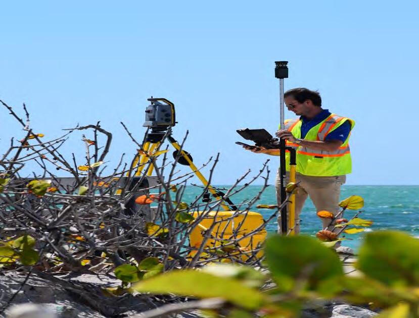
Ayres delivers efficient and intelligent solutions for your projects.

813.978.8688 | www.AyresAssociates.com Tampa I Titusville
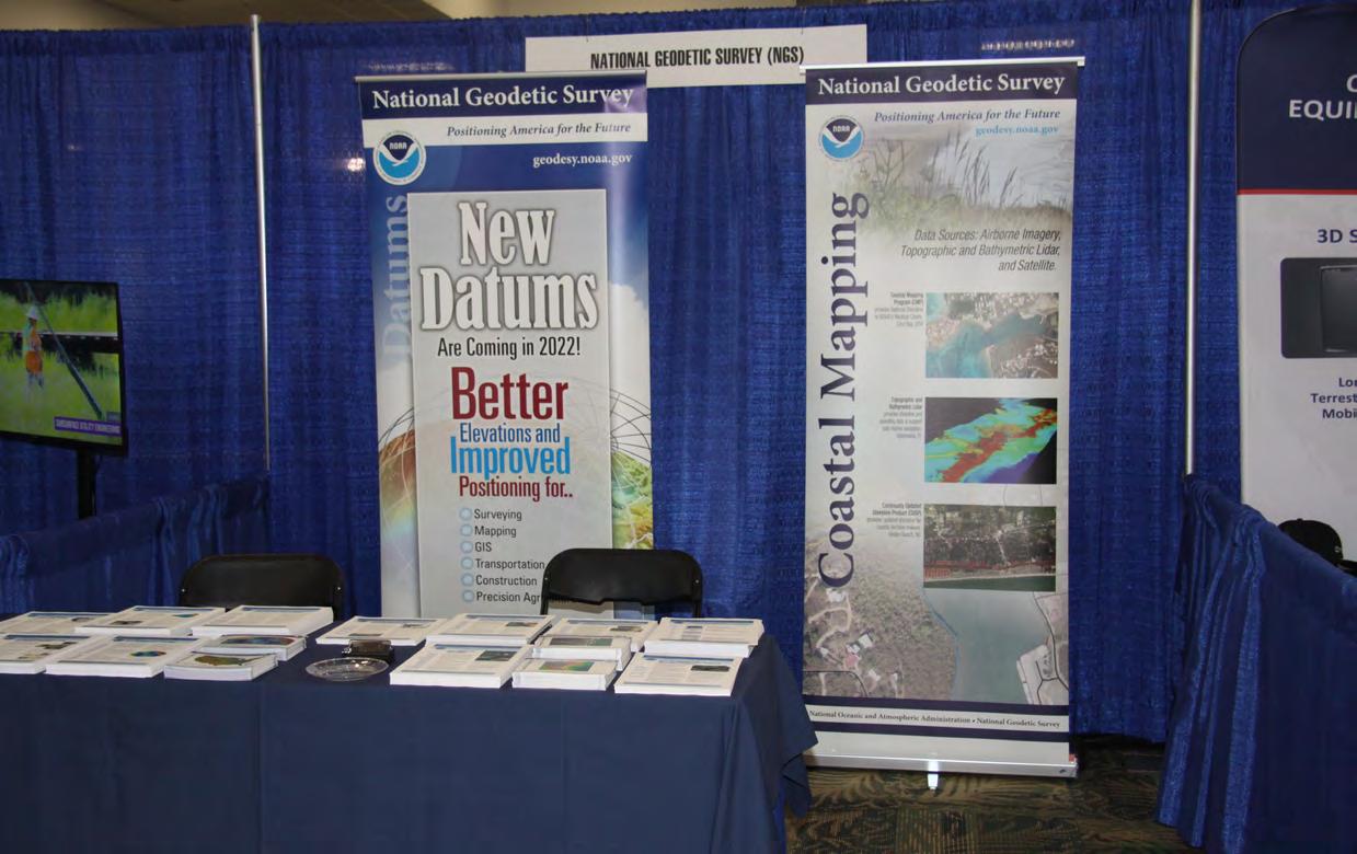
National Geodetic Survey (NGS)
The National Geodetic Survey (NGS) was created in 1807 by President Thomas Jefferson as our Nation's first civilian scientific agency, and was known as the Survey of the Coast. Today, the agency continues under the NOAA banner. Our mission is to define and maintain the National Spatial Reference System (NSRS). The NSRS provides a consistent coordinate system that defines latitude, longitude, height, scale, gravity, and orientation throughout the U.S. and its territories.

SAM

SAM is a leading provider of spatial data for decision support serving utilities, transportation, and infrastructure-focused clients. As the most technically advanced professional geospatial and inspection firm in North America, SAM uses industry-leading methods to capture and analyze assets, and environmental conditions with unrivaled speed and accuracy. Through SAM’s complete digital enablement, our clients and partners are equipped with the business insights that ensure the safety, sustainability, and reliability of critical infrastructure. SAM currently has over 1,500 employees, located in 48 offices in the U.S. and Canada. Local resources, include 8 Florida offices located in Orlando (2), Jacksonville (2), Tampa, Tallahassee, Clearwater and Niceville. Florida licensed staff includes 22 Professional Surveyors & Mappers and 8 Professional Engineers. The Company was founded in 1994 and is headquartered in Austin, TX.

STANDARD Exhibitors
The Florida Surveyor Page 45
Stakemill

Since 1978, Stakemill has been supplying Land Surveyors with wood stakes and premium lath along with monuments, rebar, and survey markers. We carry a complete line of equipment like tripods, locators, optics and more from Subsurface, Topcon, Sokkia, Leica, Geomax, Trimble, Schonstedt, SECO and SitePro. From our Florida warehouses, we offer pick-up and delivery in select locations - visit www.stakemill.com.
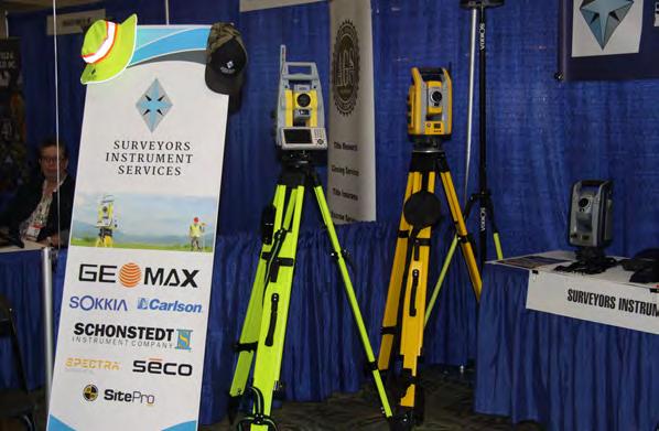
Surveyors Instrument Services
Surveyors Instrument Services, LLC, is a land surveyor and construction equipment supplier based in Tampa, Florida. We offer repairs, service, rentals, supplies, new and used equipment options for all of your surveying needs. Owner, Stan Denison, has 40+ years of service and expertise in the surveying and construction industry. We provide customers with superior service and a quick turnaround time. Our years of experience, knowledge, and service in the industry has allowed us to be a reputable company for our customers. The list of equipment we sell and service is extensive.

STANDARD Exhibitors
July/August 2023 Page 46
• I.F. Rooks & Associates is a full-service Geospatial firm serving clients throughout Florida and the Southeastern United States for 54 years.


• We have extensive experience in providing topographic / planimetric mapping , digital orthophotos, Aerial LiDAR, fixedwing and helicopter aerial photography for transportation, site development, coastal and environmental projects.
• Our steady growth in technology and personnel has allowed the development of long -term relationships with several Florida municipalities and government agencies, power companies, mining companies as well as engineering firms.
• I.F. Rooks is Pre -Qualified by FDOT in Workgroup 8.3 –Photogrammetry. Office: 813.752.2113 ~ Web: www.ifrooks.com
The Florida Surveyor Page 47
Exhibitors
STANDARD
UF Geomatics

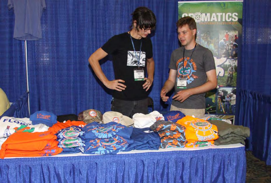
The UF Geomatics program was established in 1973 and is the preeminent Geomatics program in Florida. Consisting of six fulltime faculty members, 70 Bachelor’s degree students, 35 graduate students, and boasting two remote educational facilities in Ft. Lauderdale and Plant City, it has become the premier and leading resource for students seeking a degree in Geomatics from one of the country’s most prestigious institutions. The UF Geomatics Student Association (GSA) is an active student chapter of the Florida Surveying & Mapping Society(FSMS) and is a regular Exhibitor at their Annual Conference, providing GSA members the opportunity to interact with FSMS members, gain inspiration and professional awareness, as well as increase visibility of the GSA and UF Geomatics program to prospective students.
UF | IFAS

The UF/IFAS School of Forest, Fisheries, and Geomatics Sciences has undergraduate and graduate programs in Forestry, Natural Resource Conservation, Fisheries, Geomatics, & Marine Sciences. Our Geomatics major has 2 specializations – Surveying & Mapping for those interested in traditional surveying and licensure, and Geospatial Analysis for those focusing on analyzing geospatial data.

July/August 2023 Page 48
VACMASTERS
VACMASTERS has been the industry leader in Air-Vacuum Excavation systems for over a quarter of a century. Our airvacuum excavation equipment is offered factory direct and is used for locating underground utilities for civil engineering, environmental, and construction companies. Air excavation often offers many advantages compared to hydro excavation including smaller non-CDL truck mounted units. We also manufacture a complete line of hydro excavation trailer vacuum units with our Spoilvac product line, which are often custom built for directional boring and construction contractors’ specific needs. We manufacture with a focus of keeping our products simple. Simple means no computers, no digital display screens, and no electronic chips and this often equates to easy fix, more reliable, and less down time. VACMASTERS offers industry leading products, keeps things simple and skips middlemen/ distributors to offer you great factory direct pricing.
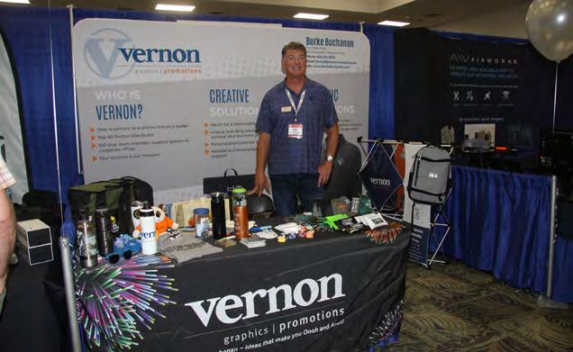
Vernon
The Vernon Company is a leader in the promotional product industry. We can design, import, and distribute an unlimited selection of quality promotional products. That’s right; whatever product you wish to put your brand on, we can provide it. We offer trendy products and name brands you have not seen anywhere else. Vernon strives to provide solutions — not just products — for corporate identity needs, company stores, new products and/or new services. Let us help improve your market share, increase your sales, build customer loyalty, improve safety and morale, and thank customers and employees.

Burke Buchanan * 3rd Generation representing The Vernon Company
BurkeB@vernoncompany.com * phone/text: 850.510.0273
www.BurkeBuchanan.com

STANDARD Exhibitors
The Florida Surveyor Page 49
Exhibitors
STANDARD
YellowScan

At YellowScan we design, develop, and produce UAV Mapping solutions for professional applications. Fully integrated, ultra-light and easy to use, these highly automated data collection tools are used by customers around the world in fields such as surveying, forestry, environmental research, archeology, corridor mapping, civil engineering, and mining. With more than 13 years of field experience, YellowScan is committed to delivering the highest level of performance, reliability, and robustness for its solutions. Our platforms are field tested all over the world in multiple environments (tropical forests, bare soils, mountains, rivers, coast lines, open-pit mines, power lines). For more information please go to www.yellowscan.com.


SPONSORS



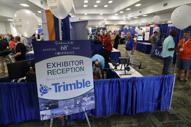
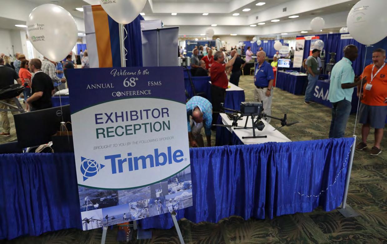
 Exhibitor Reception
Trimble
Clay Shoot SAM
Clay Shoot
McKim & Creed
The Florida Surveyor Page 51
Swag Sponsor Pickett & Associates
SPONSORS
Control Point Associates, Inc.


Swag Sponsor

Refreshment Breaks
Program Book (back cover)
Registration Desk & Signs
Refreshment Breaks
George F. Young, Inc.
Room Keys
Welcome BBQ
Hyatt Survey
AYRES
July/August 2023 Page 52
SPONSORS


Program Book(front cover)

Saturday Refreshment Breaks

Conference Tote Bags Langan UF 50th Celebration Breakfast UF | IFAS UF 50th Celebration Breakfast ATWELL
Bowman Consulting Group
The Florida Surveyor Page 53
Lanyards
SPONSORS
M.G. Vera & Assoc.

Name Badges GPI
Registration Desk & Signs Pennoni

Registration Desk & Signs BGE

July/August 2023 Page 54
GNSS REIMAGINED
Surveyors


for Geomax, Spectra, Trimble, Topcon, Sokkia, Carlson, Seco and Schonstedt.


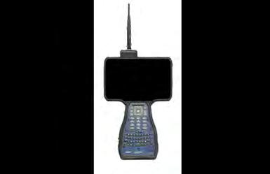
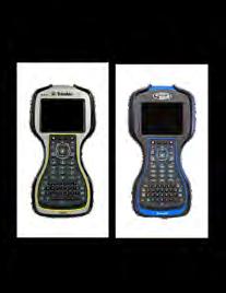


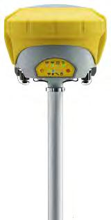


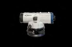
We pride ourselves in providing our customers with superior service and a quick turnaround time.

Owner, Stan Denison , has 40+ years of service and expertise in the su rveying and construction industry.
Check out our website for current deals, promotions, and consignment instruments!




Carlson RTk5
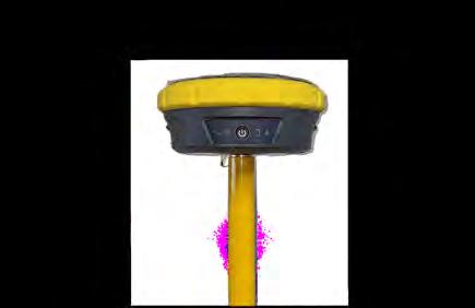
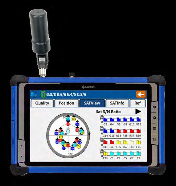
Use the RTk5 as a versatile network rover, handheld GIS unit, or ruggedized data collector. The RTk5 is designed for surveying, stake-out, GIS mapping, and construction layout. • Carlson Gama RTK Engine and Fixed+ with dual RTK engine • Exceptional performance under canopy • 25% lighter than traditional GNSS setups • Equipped with SurvPC 7 • All-day battery life, hot swappable, optional high capacity battery • Long range bluetooth Call 561.316.6250 or visit carlsonps.com SURVEYORS INSTRUMENT SERVICES SURVEYORSINSTRUMENT.COM (813)999-8998 6091 JOHNS RD SUITE 4 TAMPA FLORIDA 33634
Instrument Services , LLC, is a full-service
equipment
store. We offer
is a full-line dealer
surveying
retail
repairs, sales, rentals and consignments. SIS
SPONSORS


Registration Desk & Signs
Young Surveyors Event

Banquet Door Prizes Broward Chapter
Banquet Door Prizes Tampa Bay Chapter
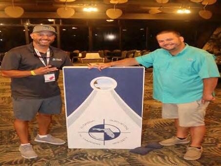
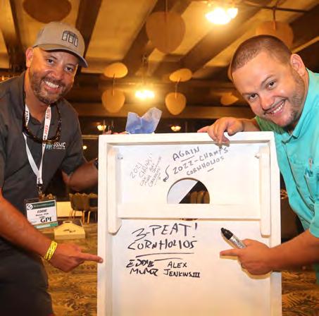
Cornhole Competition
Exhibit Hall Beverages
KEITH
DRMP July/August 2023 Page 56
SPONSORS
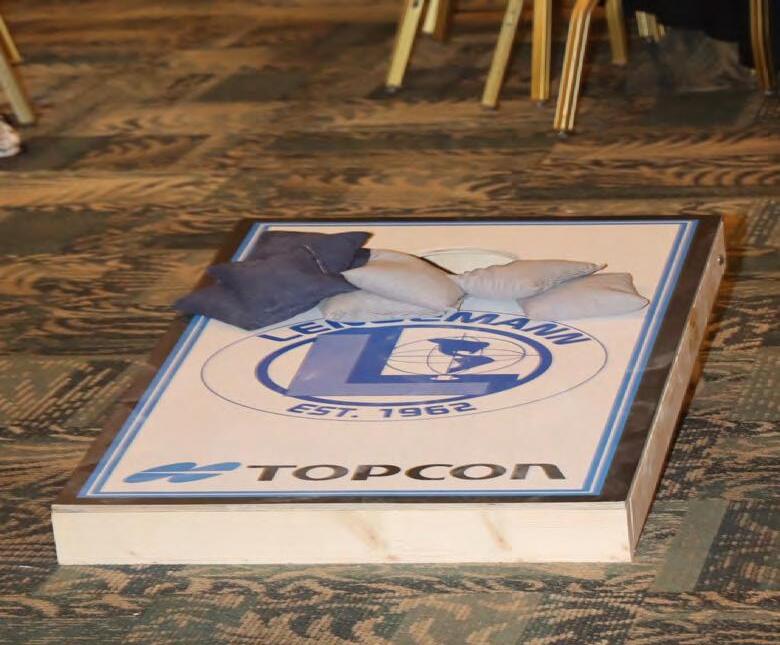
Cornhole Competition Lengemann

Golf Tournament Geopoint Surveying, Inc.
CST Exams
Young Surveyors Event

Registration Packets
 SIT Test Prep
Clymer Farner Barley
Central FL Chapter
The Florida Surveyor Page 57
Exhibitor




SPONSORS
Welcome Bags Brown & Phillips
Welcome Bags E .R. Brownell & Assoc.
Hall Beverages American Government Services
Hall Beverages GdB Geospatial July/August 2023 Page 58
Exhibitor
Exhibit
Exhibit
SPONSORS

Young Surveyors Event
Registration Packets
Collier-Lee Chapter

WGI
Geodetic Surveyor
Solve three dimensional geodetic and astronomic position problems, determine geodetic and astronomic azimuths, and measure fluctuations and accelerations in the Earth’s magnetic and gravity fields. They serve as NGA’s primary ground-based data collectors and use and maintain a variety of geodetic and geophysical survey equipment to support data acquisition.
They compute, adjust, and evaluate geodetic survey data acquired by other organizations. They provide indepth technical expertise on geodetic and geophysical issues to customers and represent NGA in external community forums establishing DoD and Intelligence Community doctrine and policy.
Stop by our booth at the FSMS Conference to learn about current job openings and internship opportunities!
www.intelligencecareers.gov/NGA
recruitment@nga.mil
Applying to Jobs and Internships at NGA

AreYou Eligible for Employment at NGA?


Applicants must meet the following criteria to qualify for employment with NGA:
•U.S. Citizen
•18 years of age or older
•Able to obtain aTop Secret/SCI security clearance




•Pass mandatory pre-employment drug screening

•COVID-19 vaccination, subject to exceptions required by law

BeginningYour Job Search

Go to NGA’s career website: www.intelligencecareers.gov/NGA

•To start your job search,click on Search NGA jobs, which will take you to a list of current opportunities at NGA.

•18 years of age or older
• Register: You must register to apply for a job opening. To register, click New Users on the Job Search page.
Apply for a Job
•Click Apply on the job listing to start the process.
• Follow the instructions on each screen.
• Review your application. Ensure your package is complete and includes all required documentation.
•Click Submit Application to submit your complete application. You will receive an email confirming submission. If you do not receive an email, your application was not successfully submitted.
Geodetic Suur
JOIN THE TEAM!
We Are Seeking
veyors
Approved for Public Release, 22-
l
t@
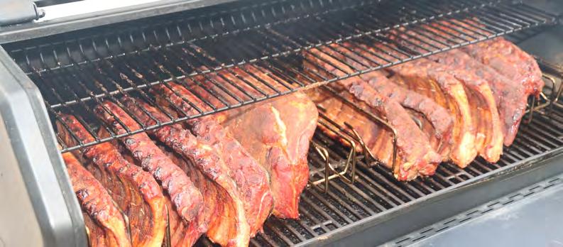
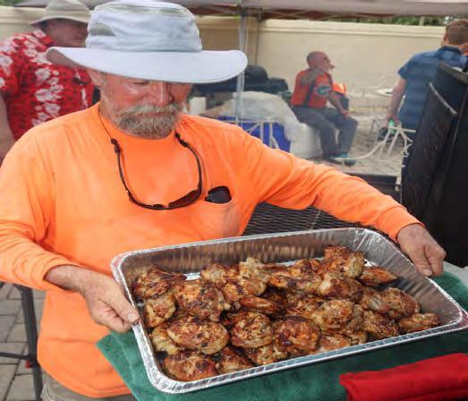
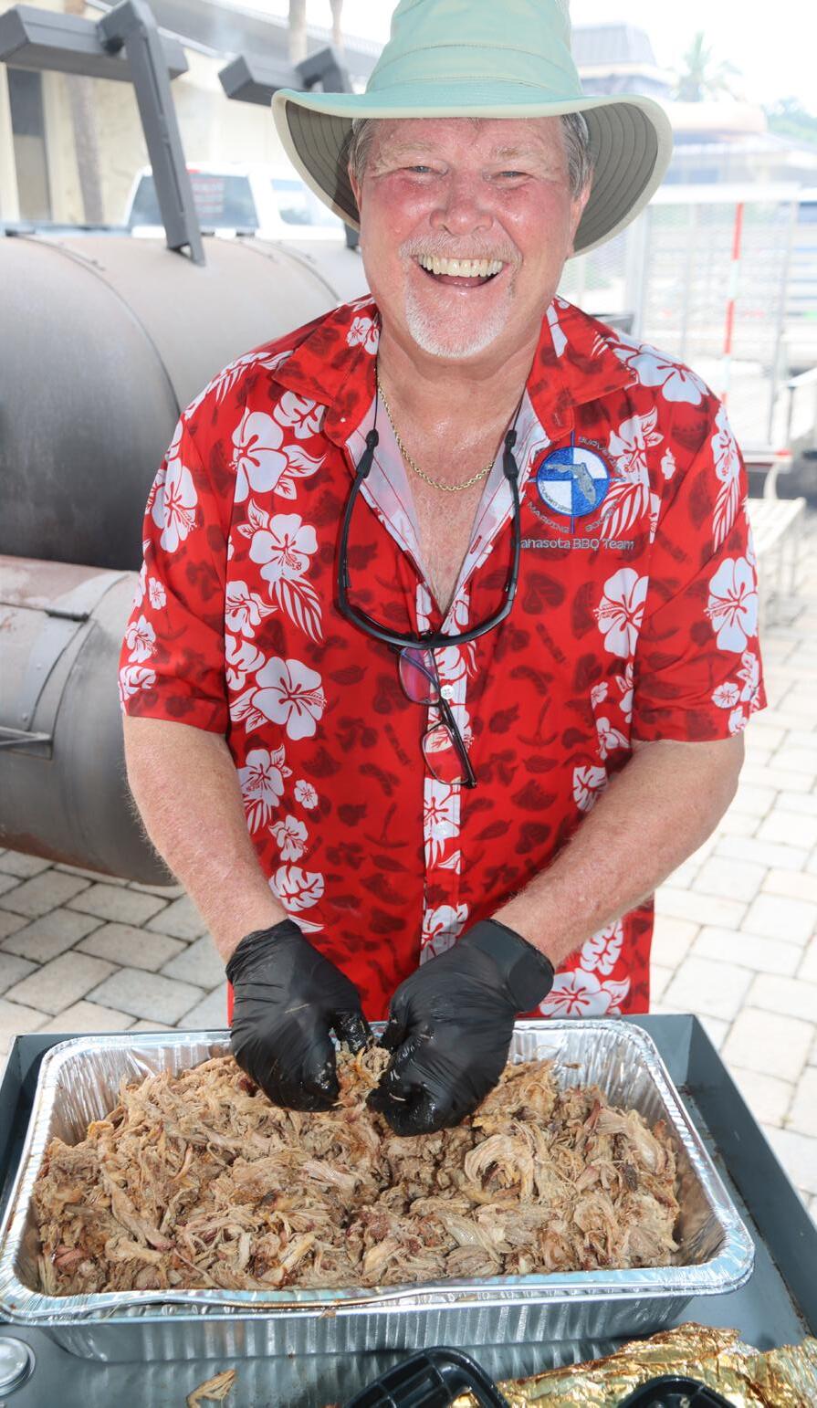
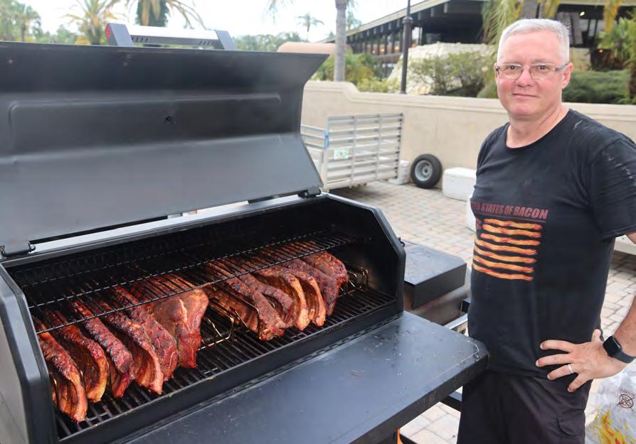
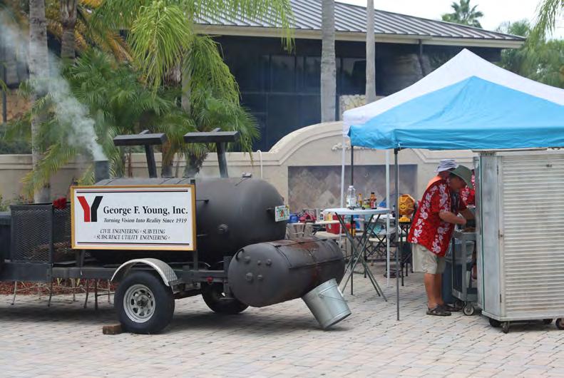
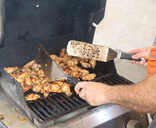
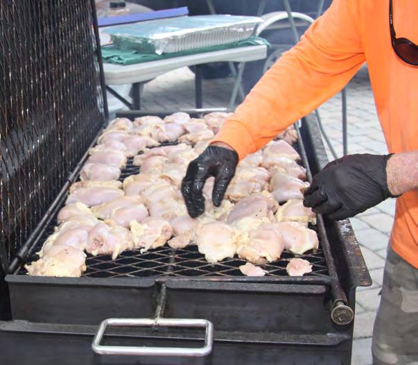
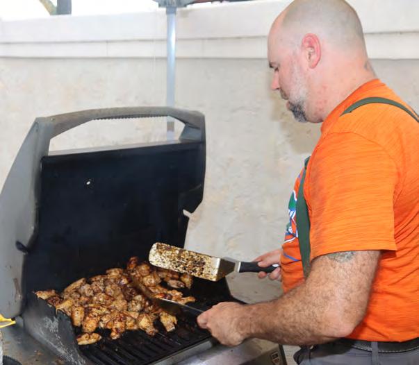
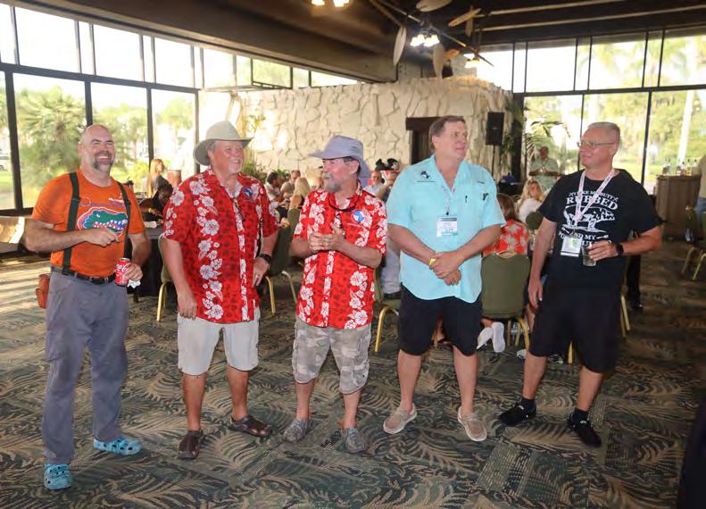
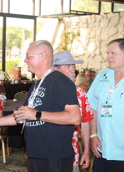
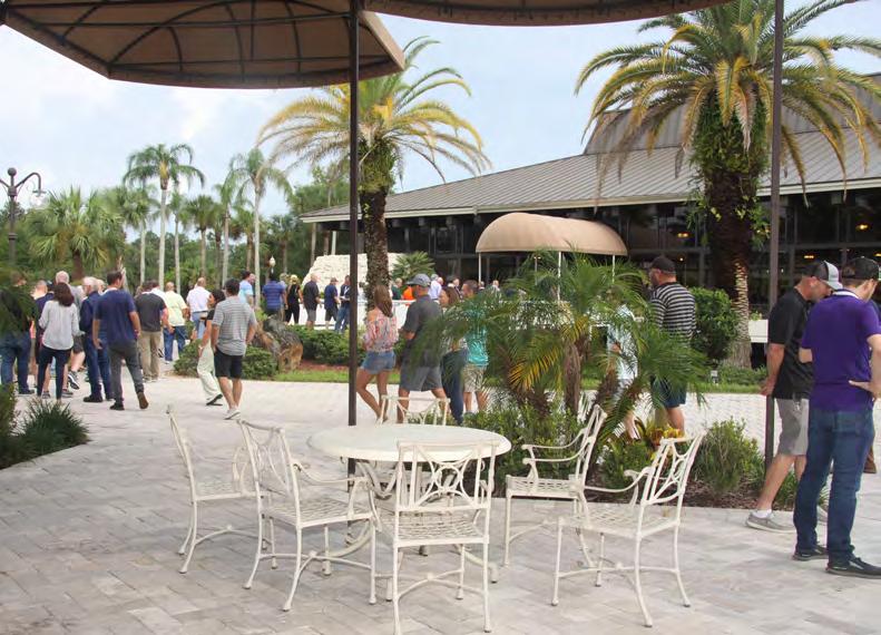
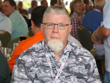
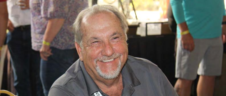
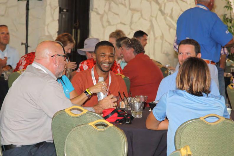
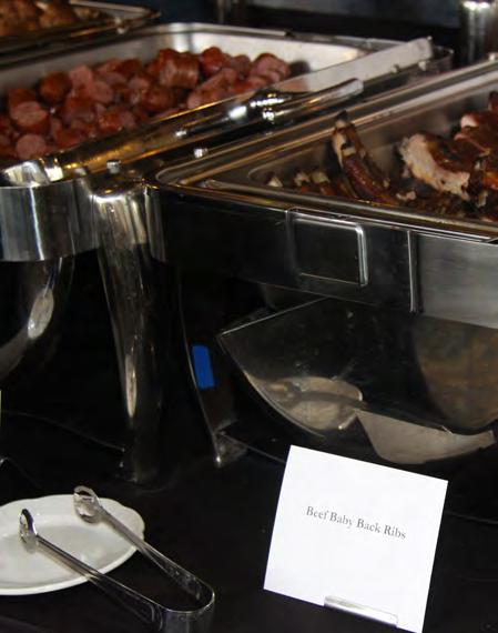
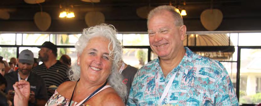
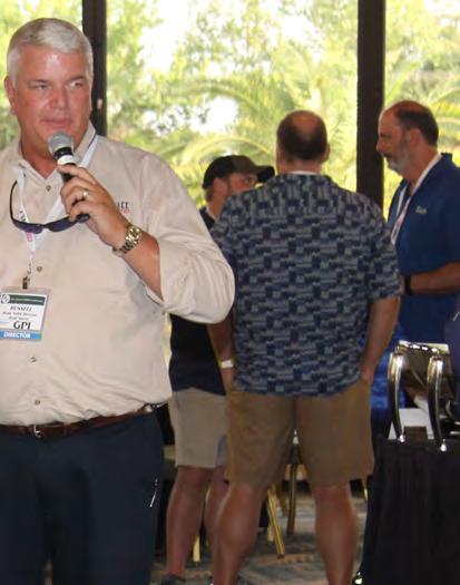
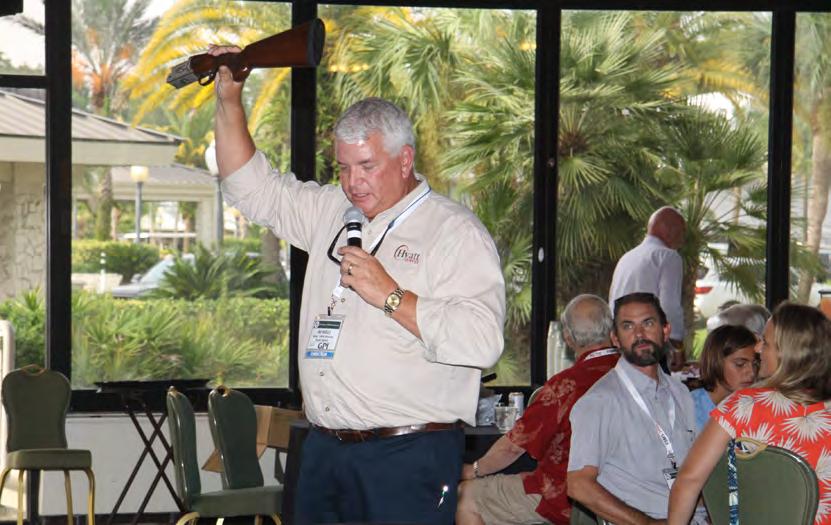
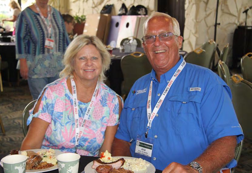
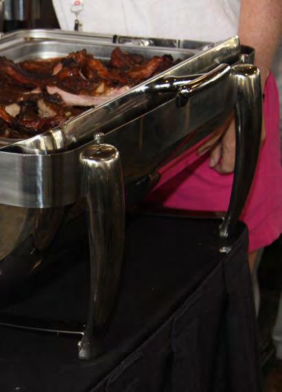
WELCOME BBQ


The Florida Surveyor Page 61
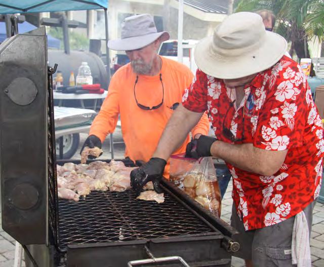
WELCOME BBQ



July/August 2023 Page 62
WELCOME BBQ
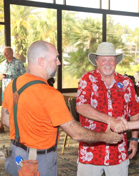


The Florida Surveyor Page 63
WELCOME BBQ

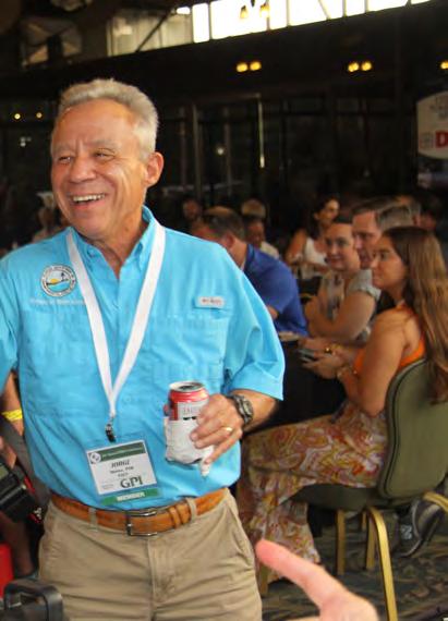
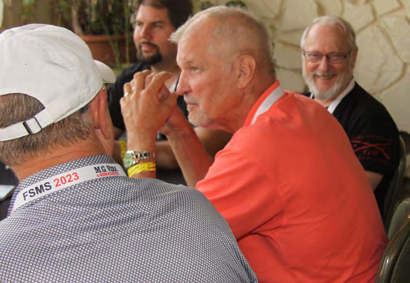
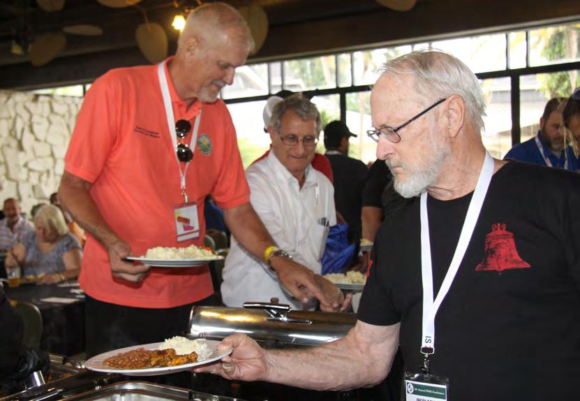


July/August 2023 Page 64
WELCOME BBQ


WELCOME BBQ


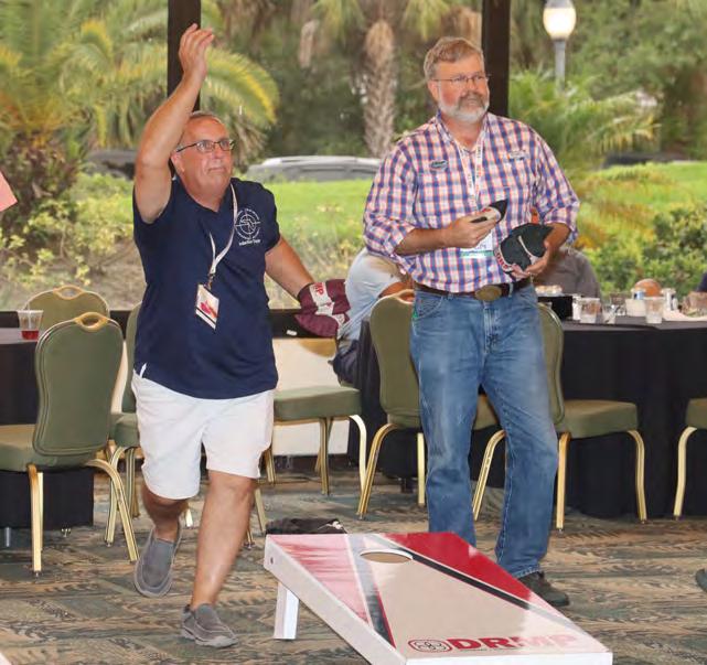
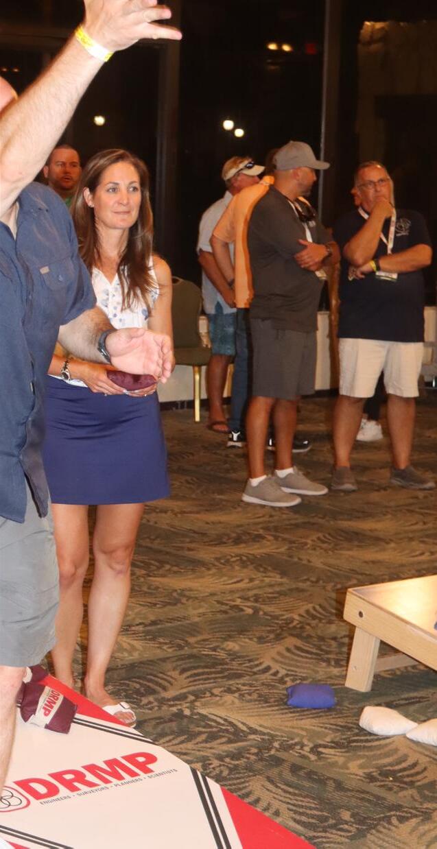
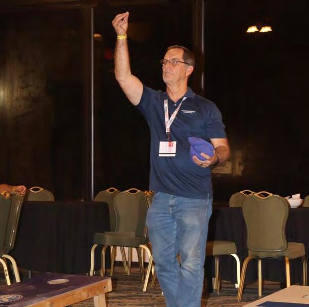
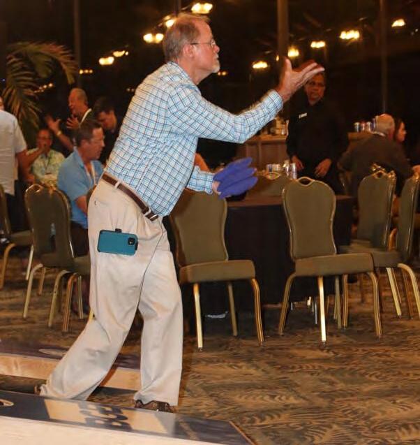
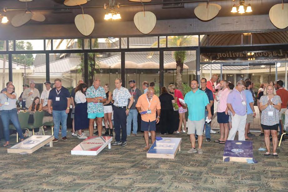
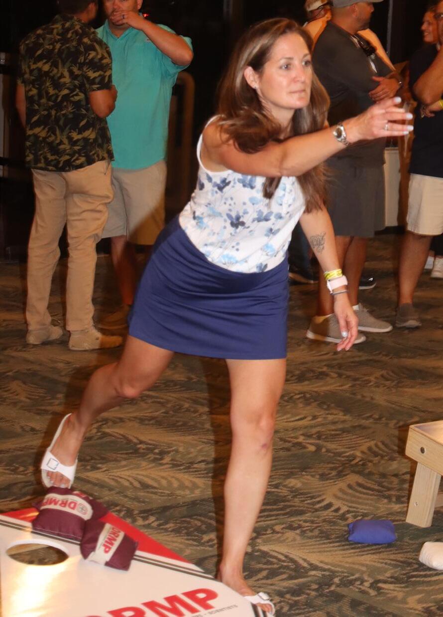
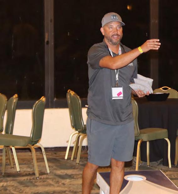
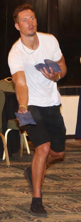
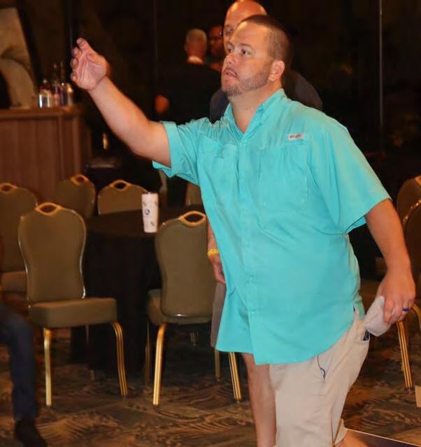
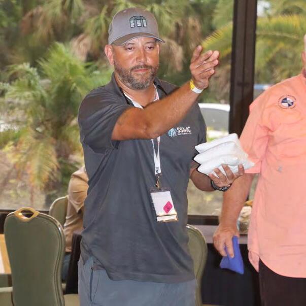
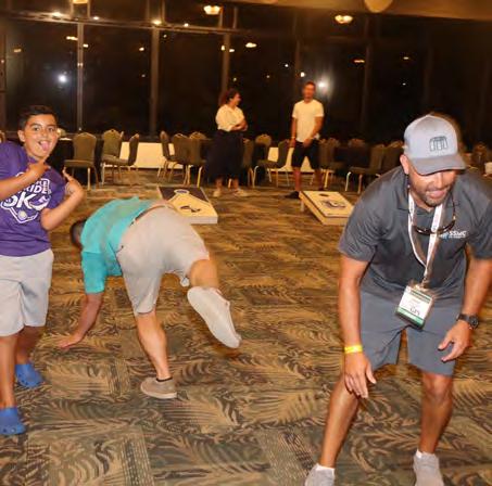
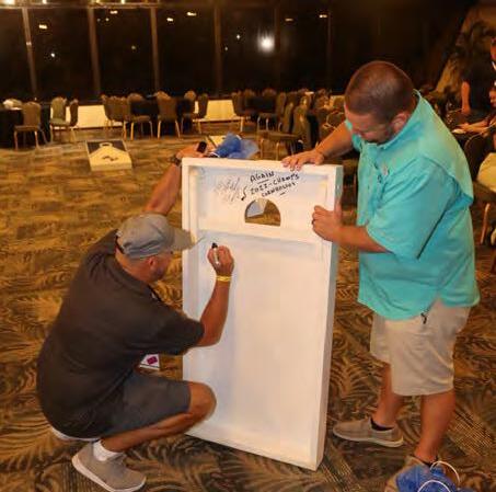
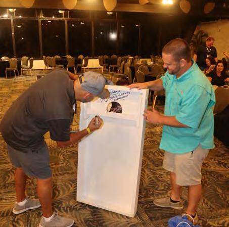
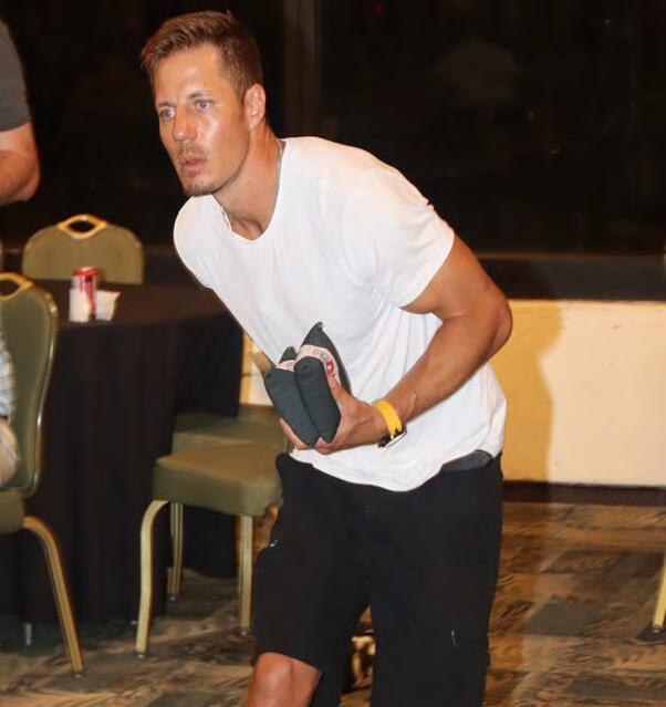
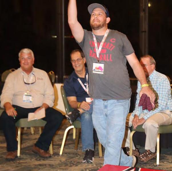
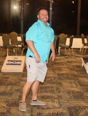
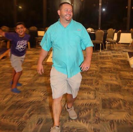
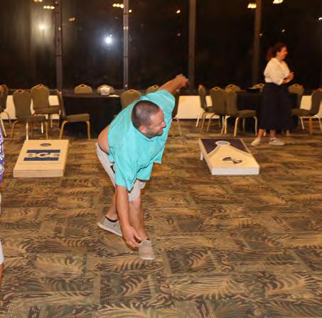
CORNHOLE




The Florida Surveyor Page 67
TOURNAMENT

July/August 2023 Page 68
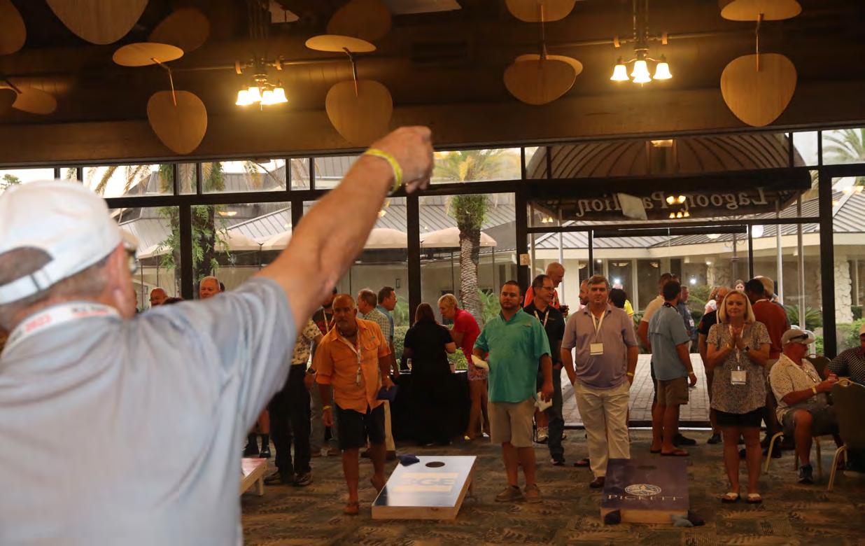
CORNHOLE


The Florida Surveyor Page 69
TOURNAMENT

July/August 2023 Page 70
CORNHOLE


TOURNAMENT

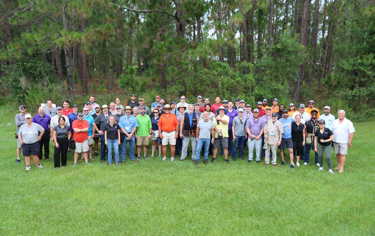
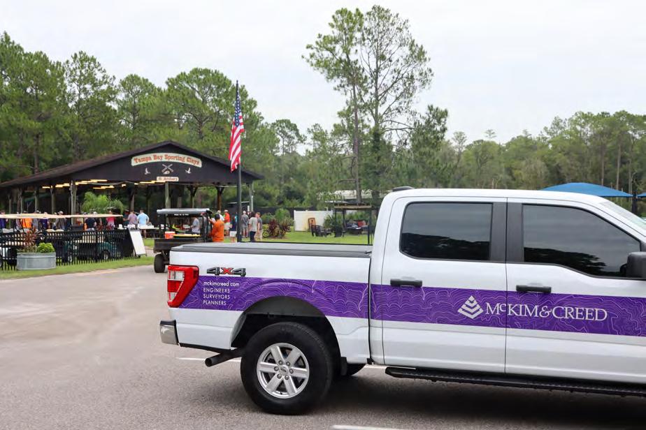
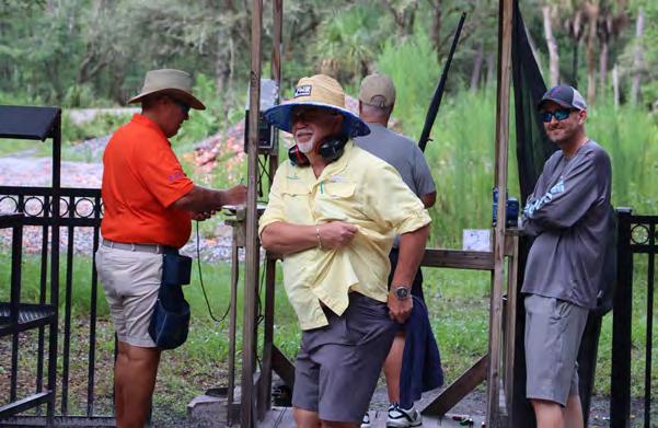
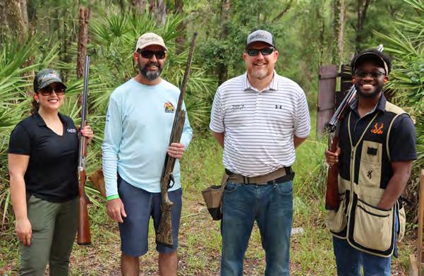
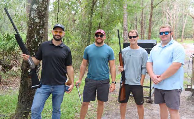
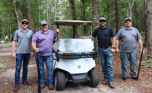
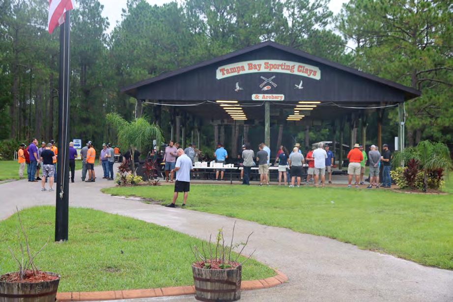
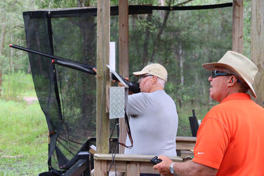
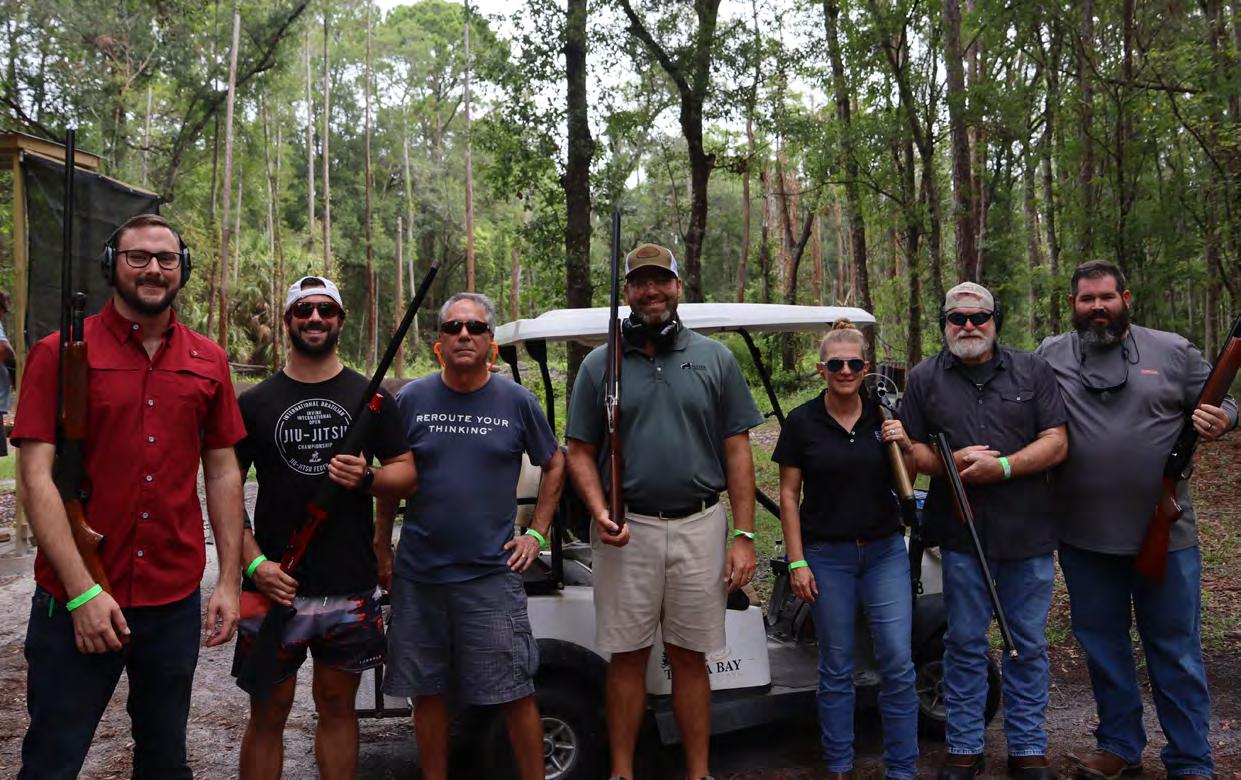
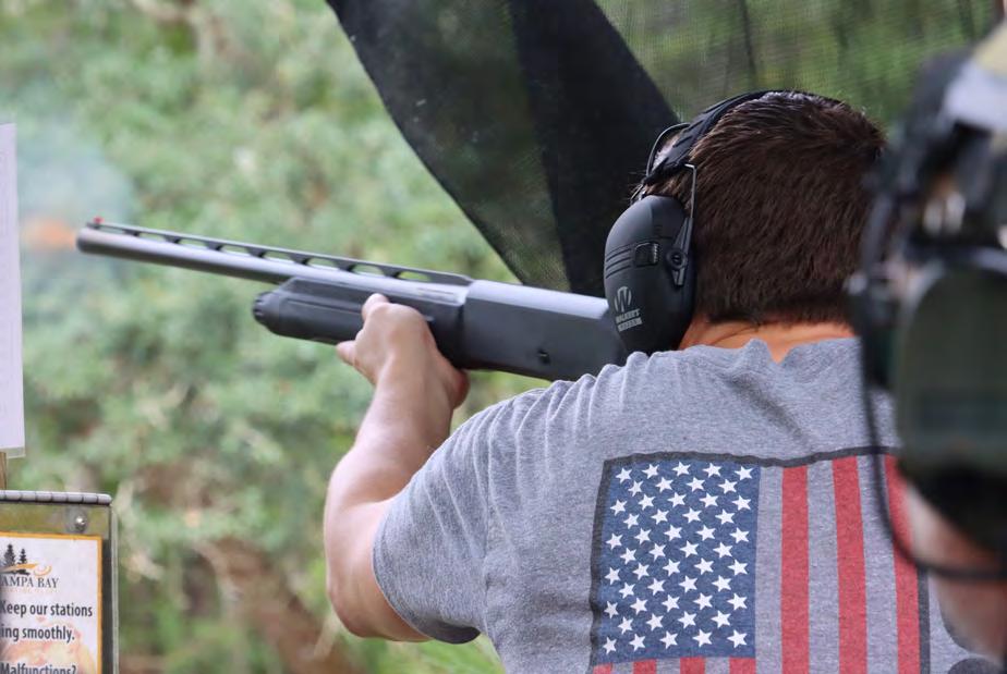
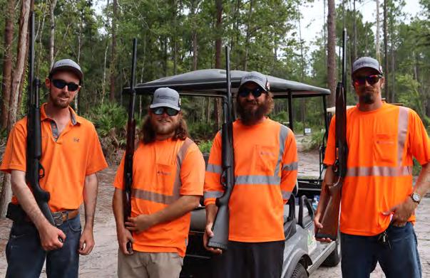
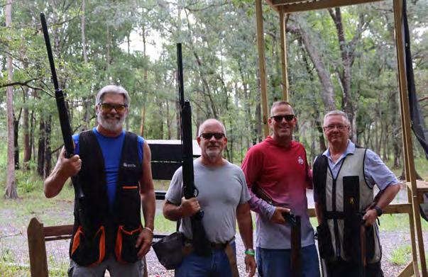
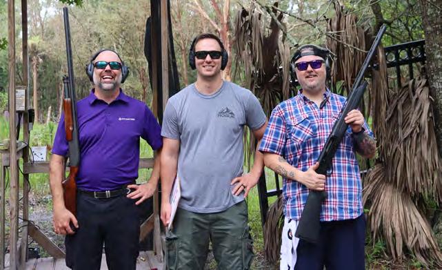
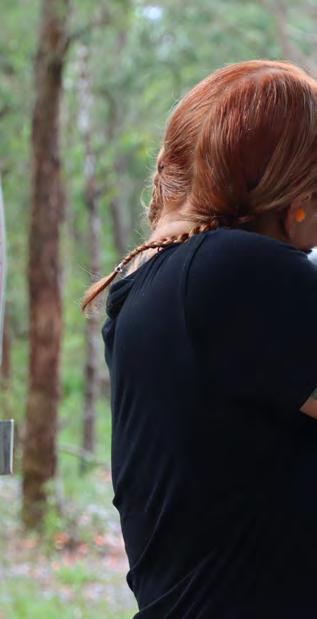
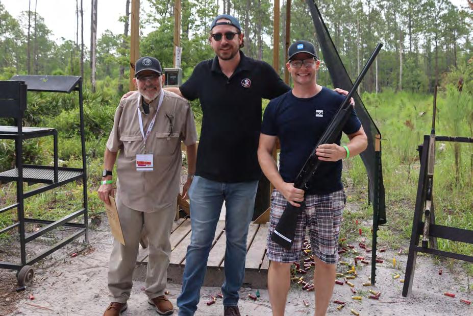
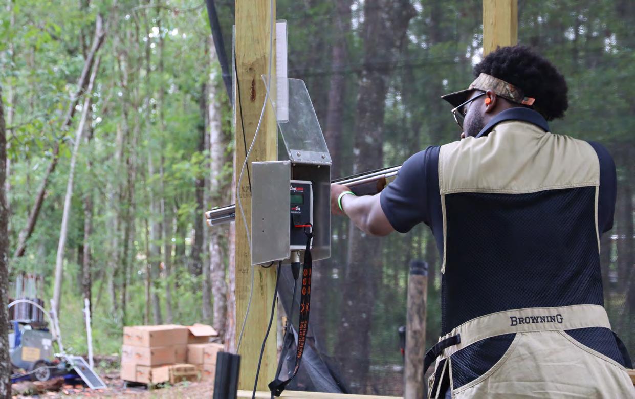
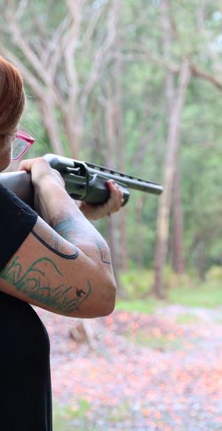
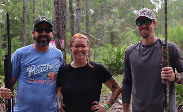
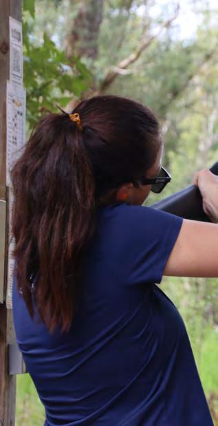
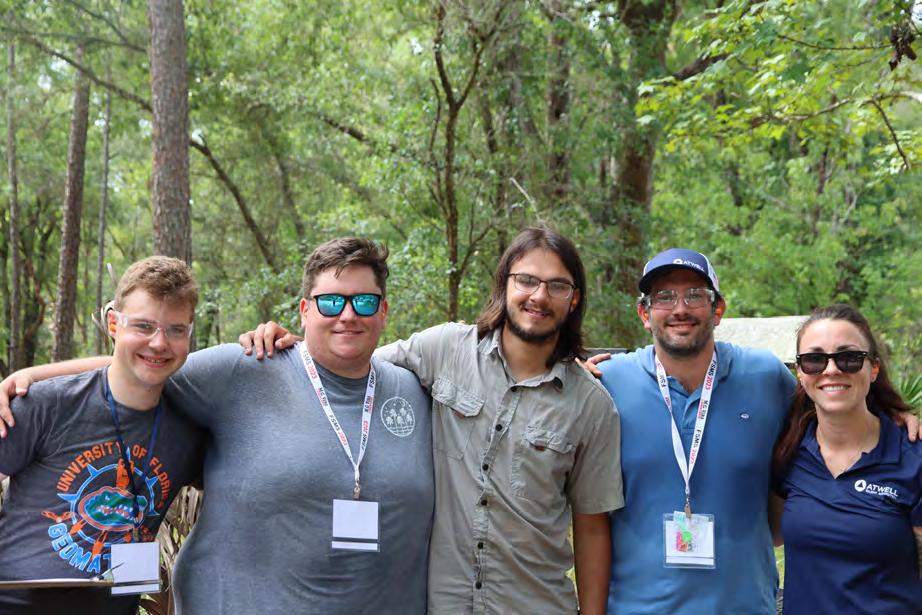
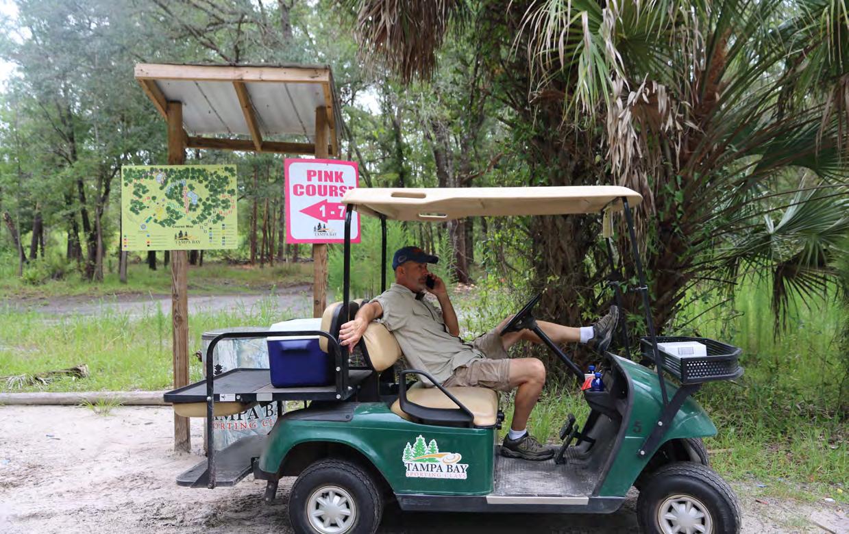
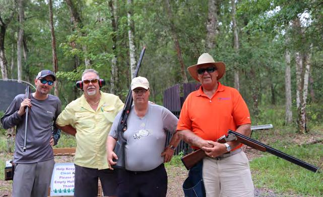
CLAY SHOOT

The Florida Surveyor Page 73
TOURNAMENT

July/August 2023 Page 74
CLAY SHOOT


The Florida Surveyor Page 75
TOURNAMENT



July/August 2023 Page 76
CLAY SHOOT


The Florida Surveyor Page 77
TOURNAMENT


July/August 2023 Page 78
CLAY SHOOT


The Florida Surveyor Page 79
TOURNAMENT
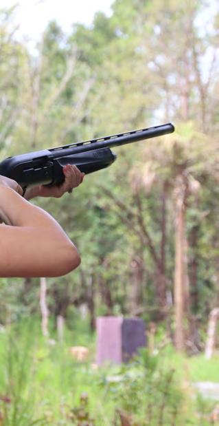
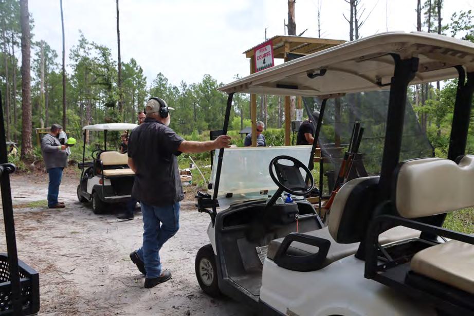
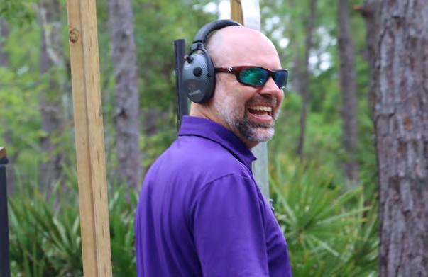
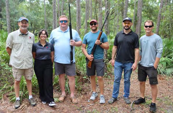


July/August 2023 Page 80
THE FLORIDA


The Florida Surveyor Page 81



July/August 2023 Page 82
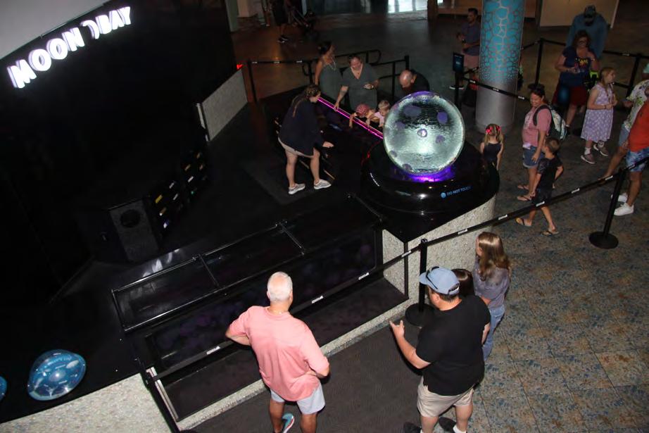
AQUARIUM
THE FLORIDA

The Florida Surveyor Page 83


July/August 2023 Page 84
AQUARIUM
THE FLORIDA


The Florida Surveyor Page 85


July/August 2023 Page 86
AQUARIUM
THE FLORIDA

The Florida Surveyor Page 87

July/August 2023 Page 88
AQUARIUM
THE FLORIDA


The Florida Surveyor Page 89


July/August 2023 Page 90
AQUARIUM
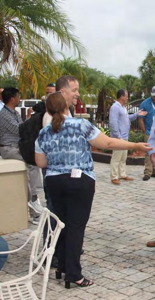
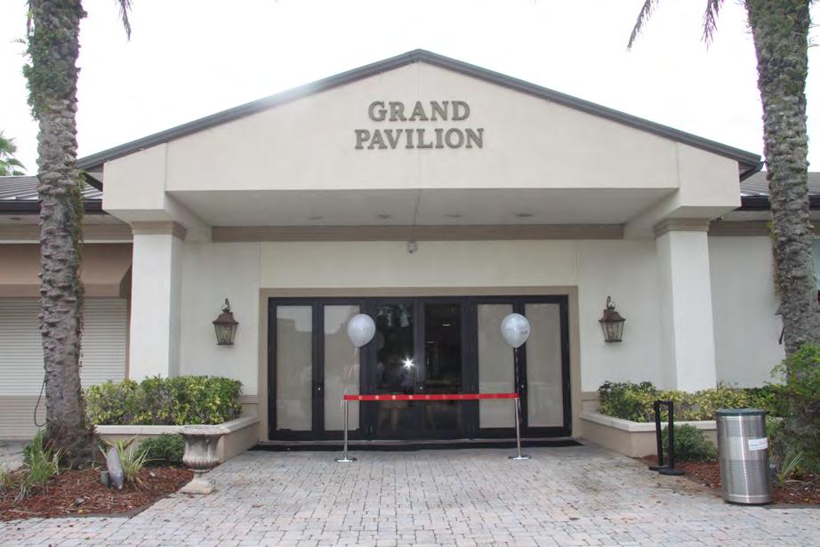
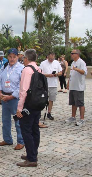
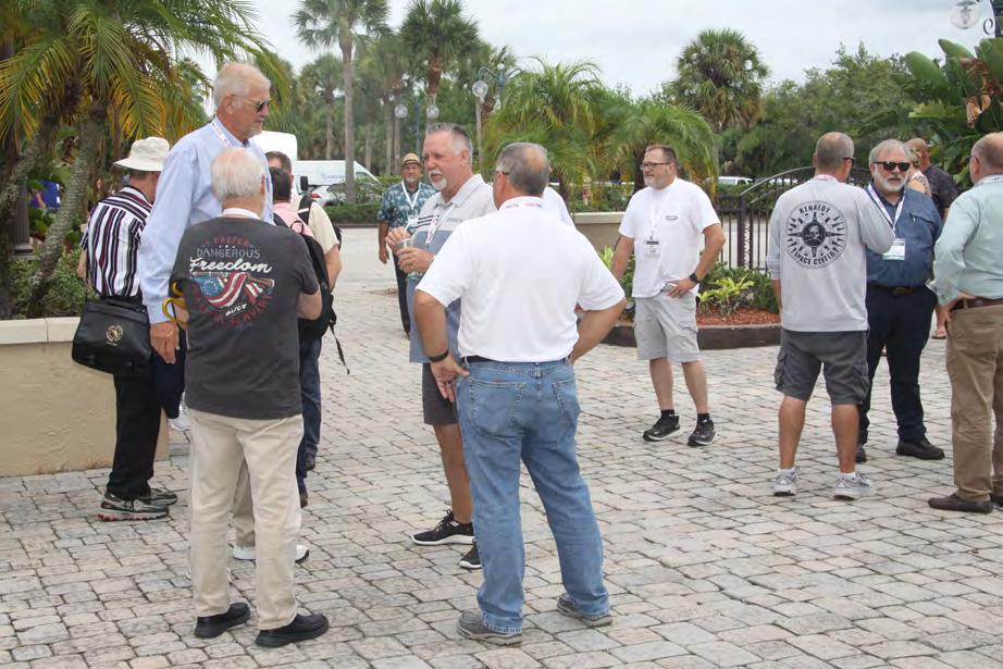
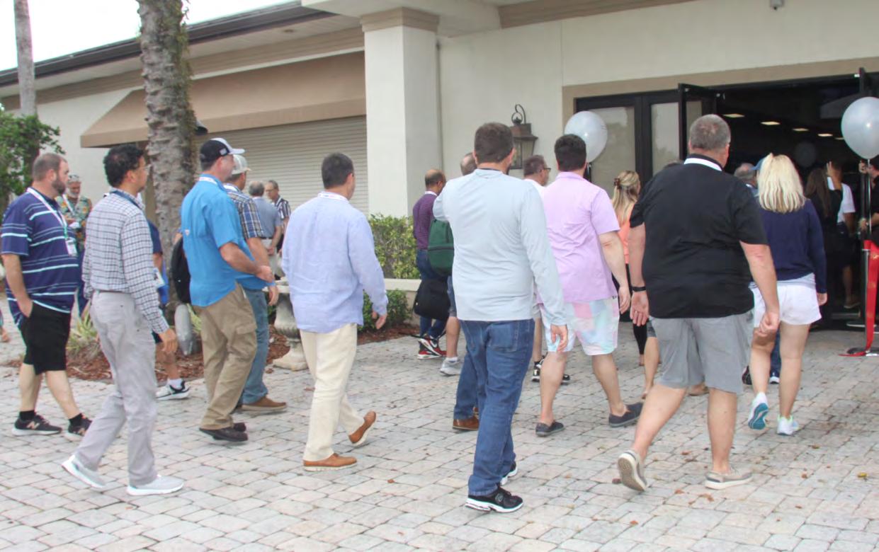
EXHIBIT HALL GRAND OPENING/RIBBON


The Florida Surveyor Page 91
OPENING/RIBBON CUTTING

July/August 2023 Page 92
EXHIBITOR

The Florida Surveyor Page 93
RECEPTION



July/August 2023 Page 94
EXHIBITOR

The Florida Surveyor Page 95
RECEPTION

July/August 2023 Page 96
The Florida Surveyor Page 97
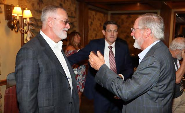
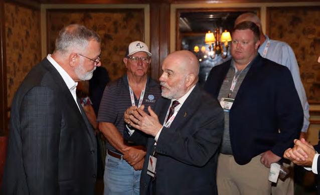
LEGISLATIVE
RECEPTION
July/August 2023 Page 98
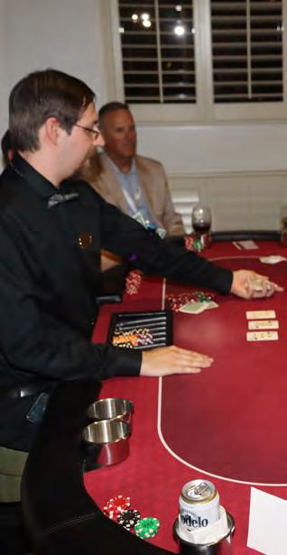
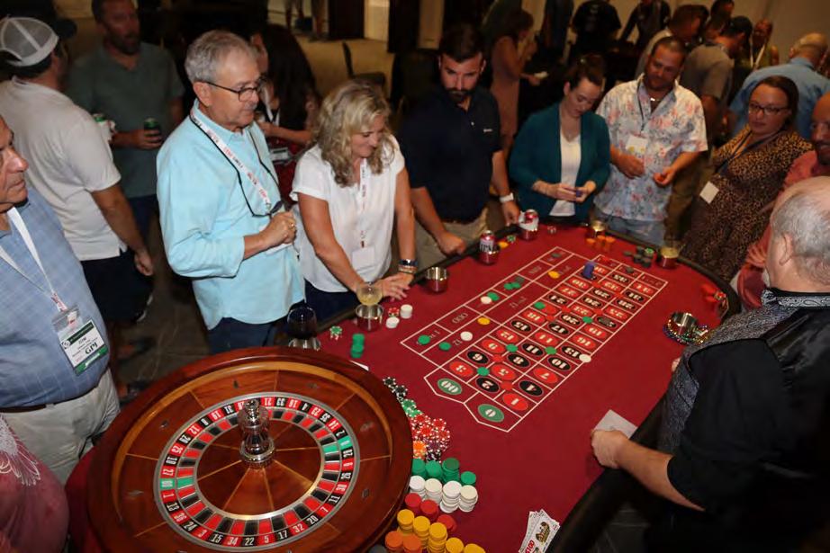
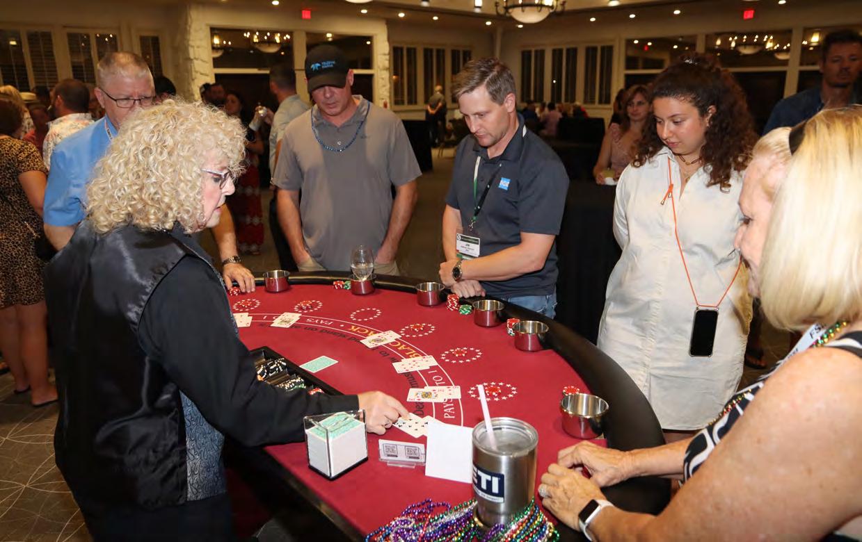
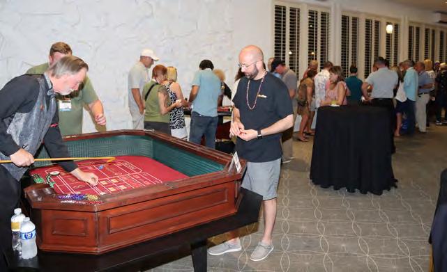
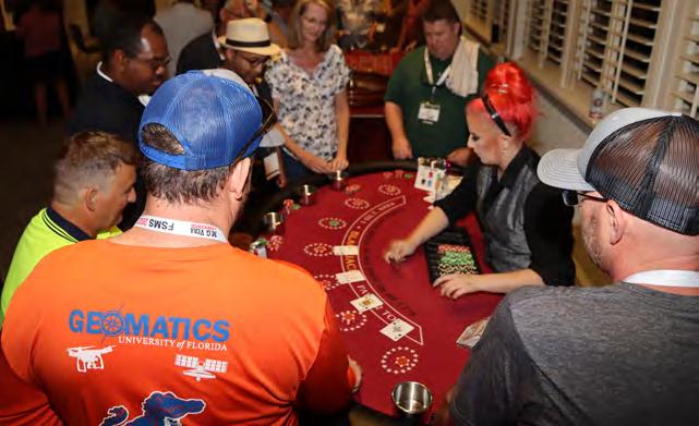
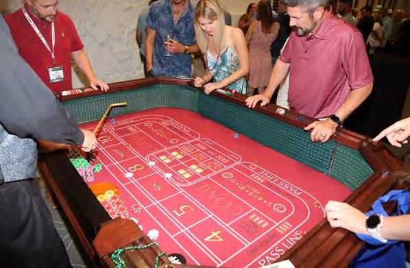
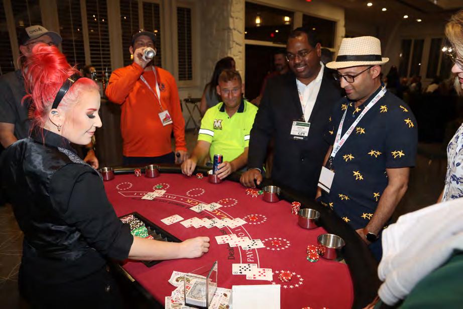
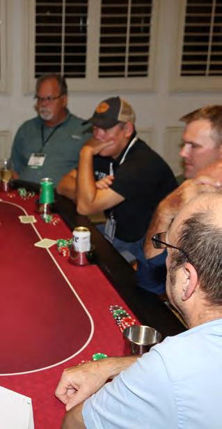
CASINO


The Florida Surveyor Page 99



July/August 2023 Page 100
NIGHT
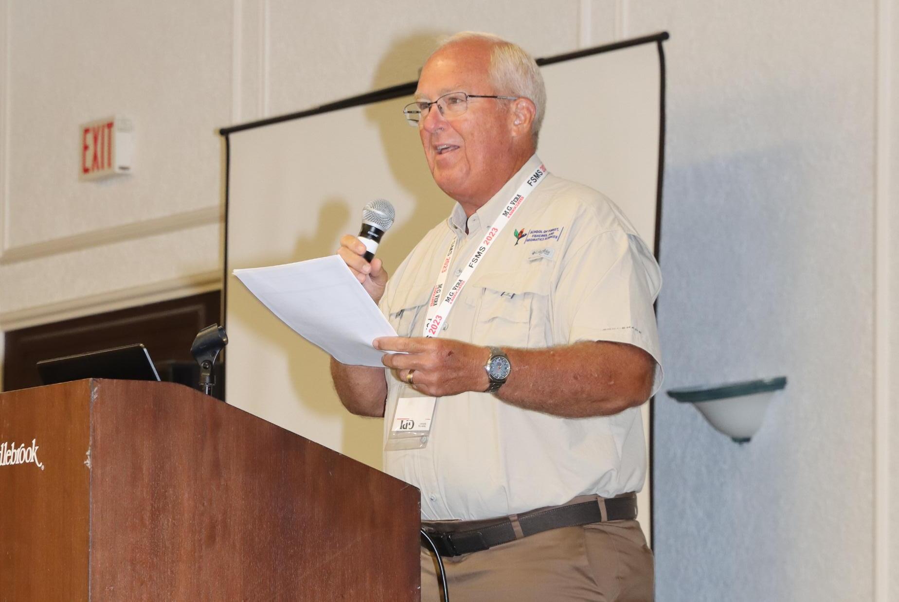
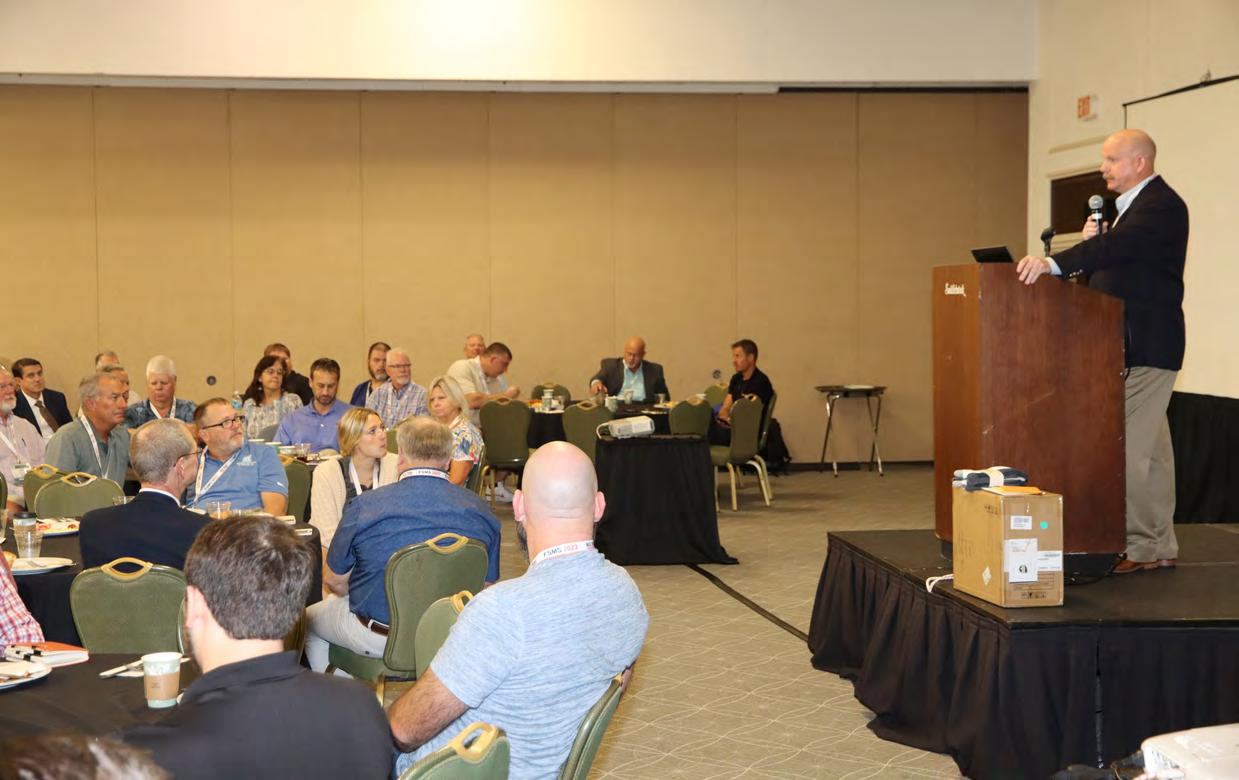
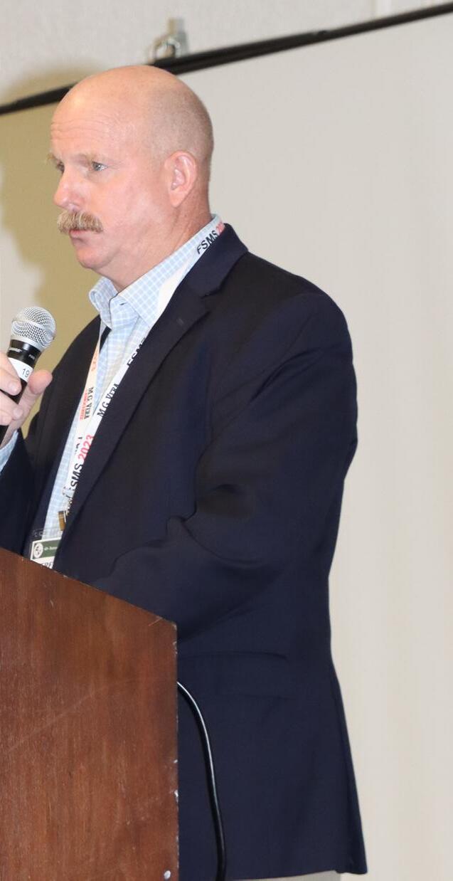
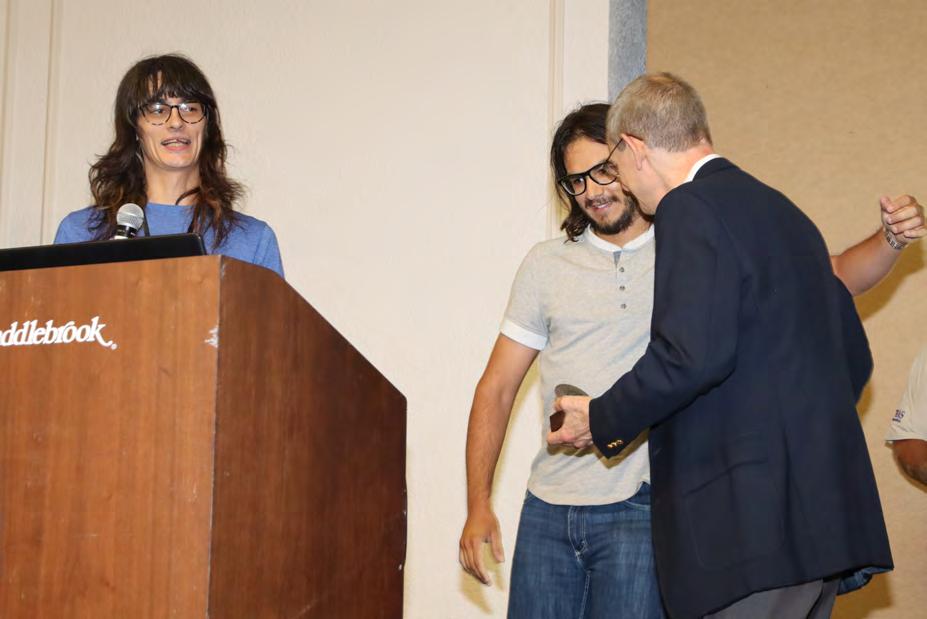
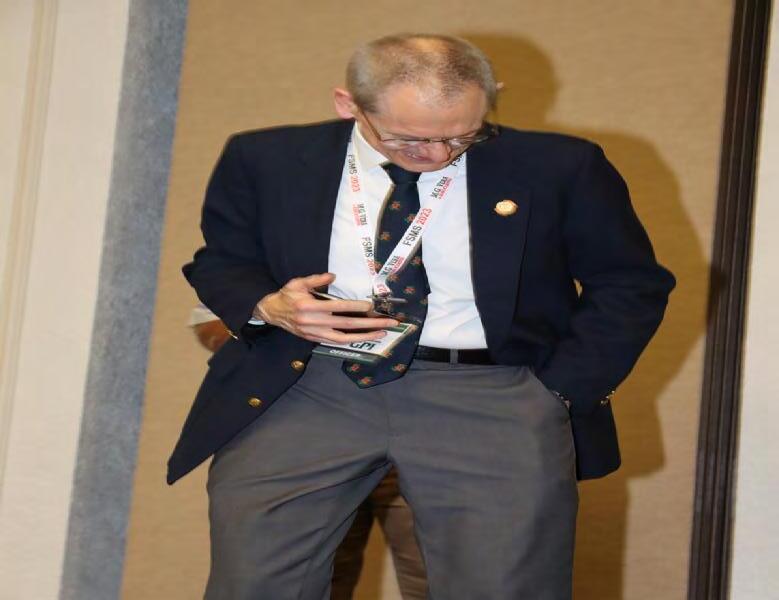
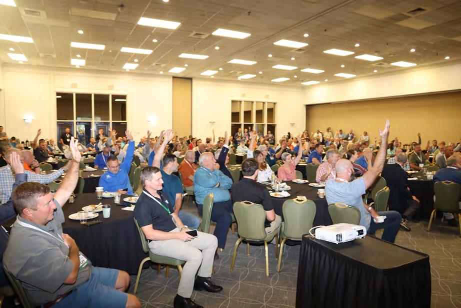
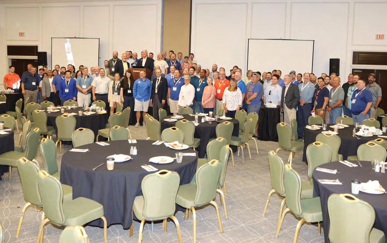
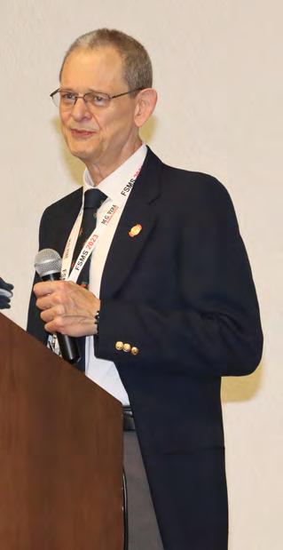
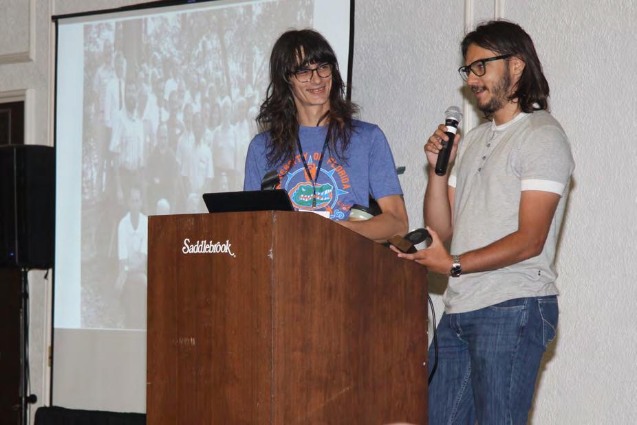
UF GEOMATICS

The Florida Surveyor Page 101
50 TH CELEBRATION

July/August 2023 Page 102
UF GEOMATICS

Florida Surveyor Page 103
The
50 TH CELEBRATION

July/August 2023 Page 104
UF GEOMATICS

The Florida Surveyor Page 105
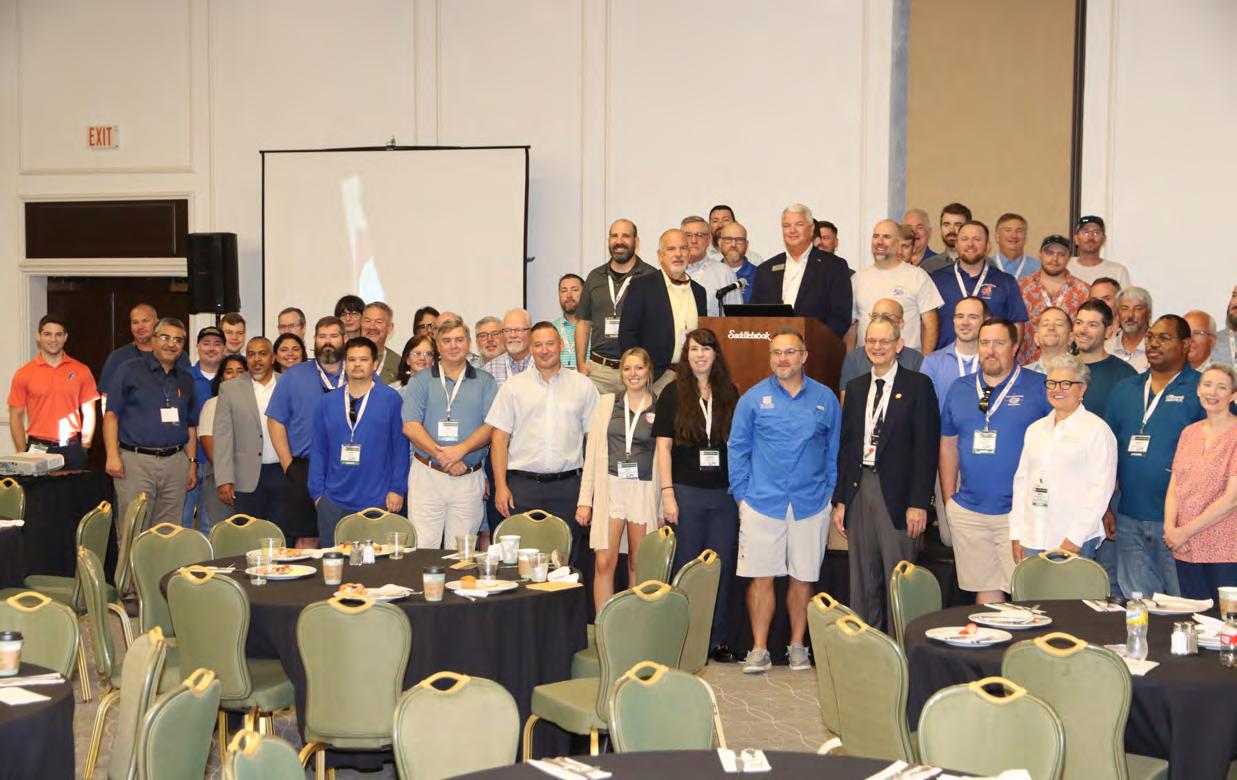
50 TH CELEBRATION

July/August 2023 Page 106
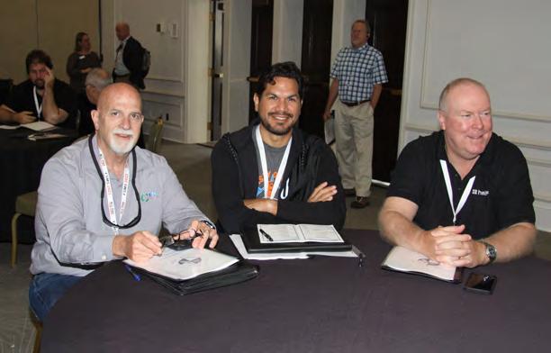
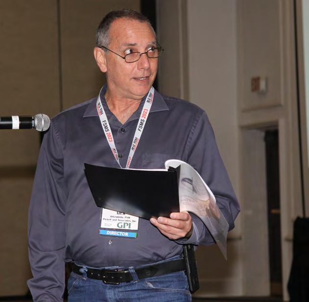
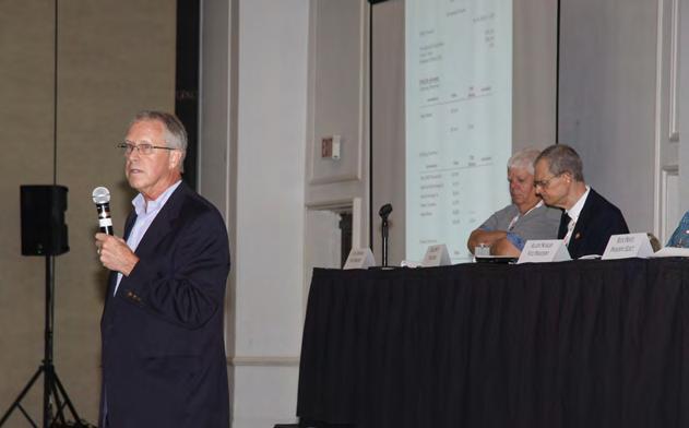
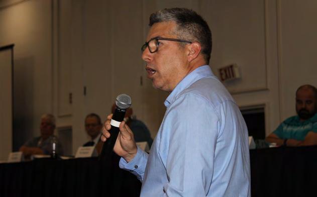
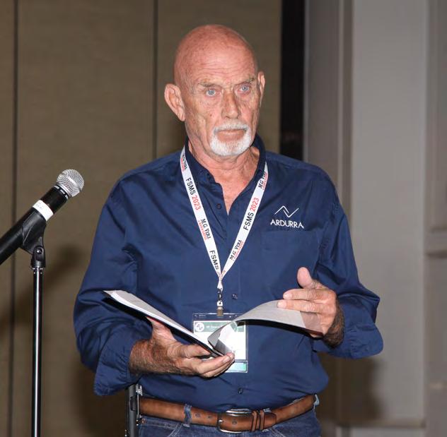
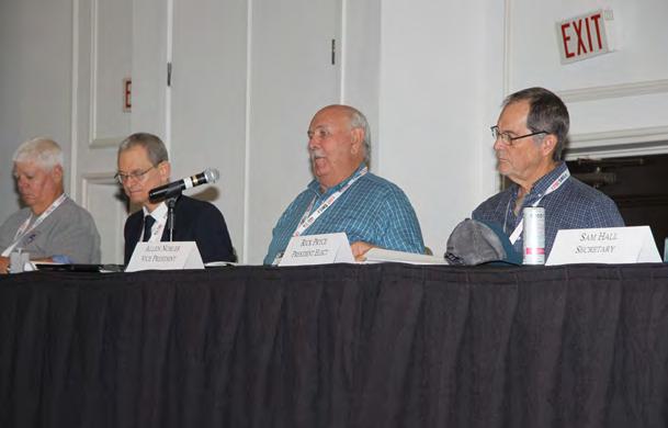
GENERAL BUSINESS

The Florida Surveyor Page 107
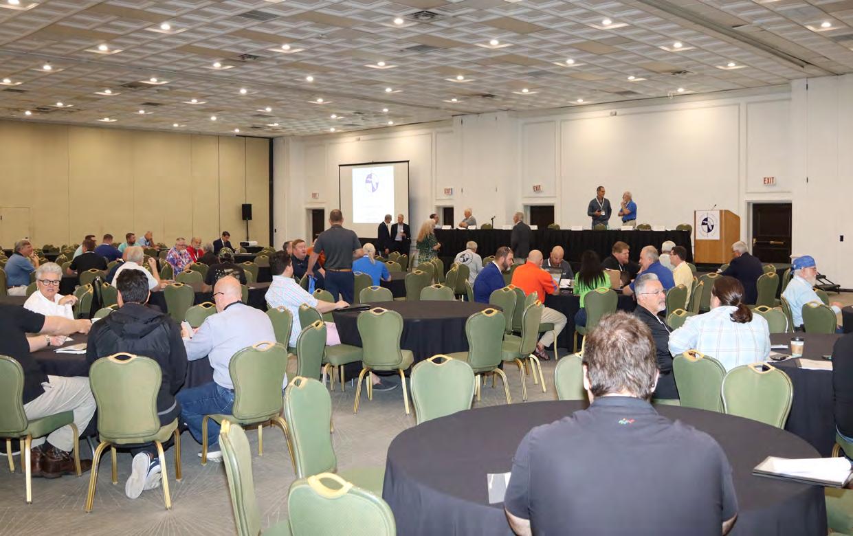
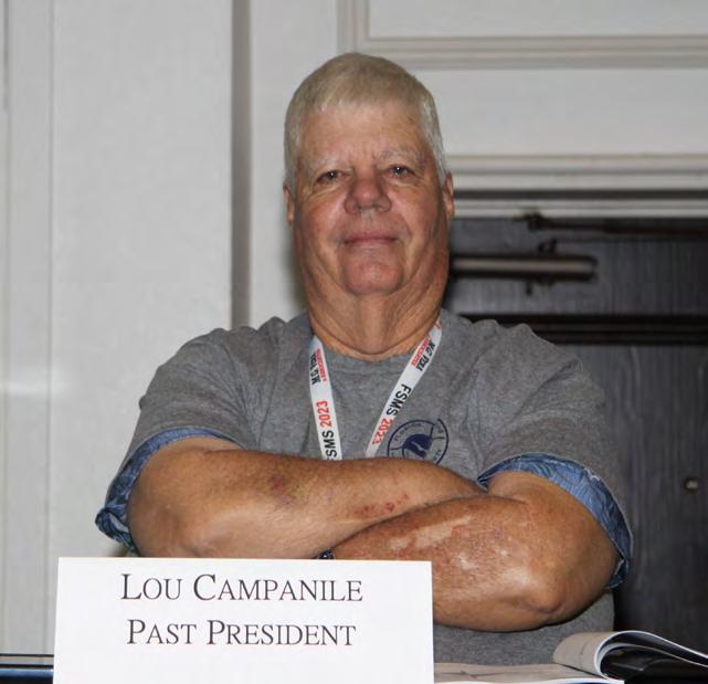
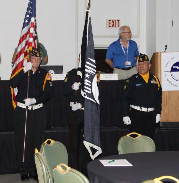
BUSINESS SESSION



July/August 2023 Page 108
GENERAL BUSINESS

The Florida Surveyor Page 109
BUSINESS SESSION

July/August 2023 Page 110
GENERAL BUSINESS

The Florida Surveyor Page 111
BUSINESS SESSION


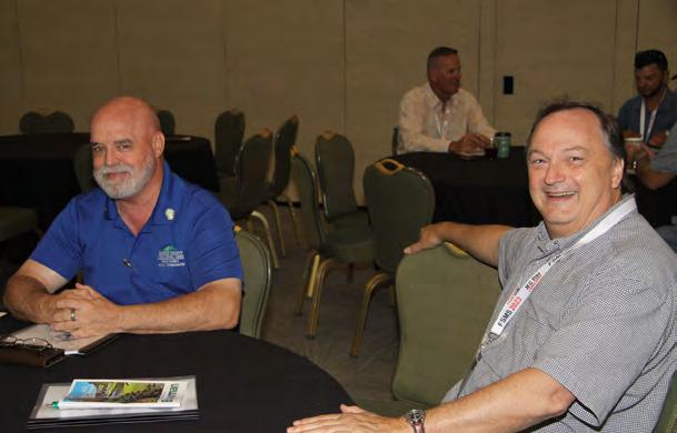
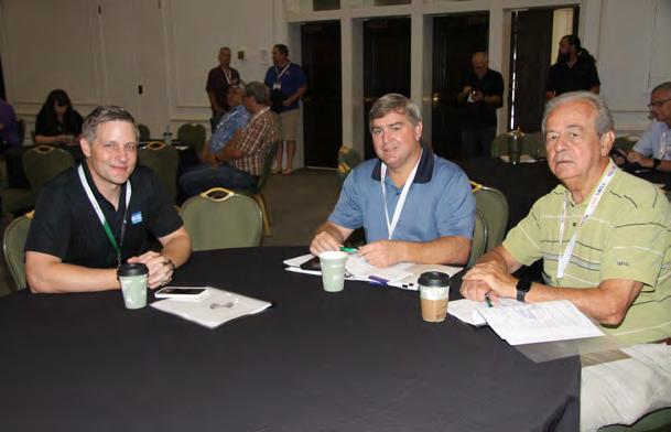

July/August 2023 Page 112
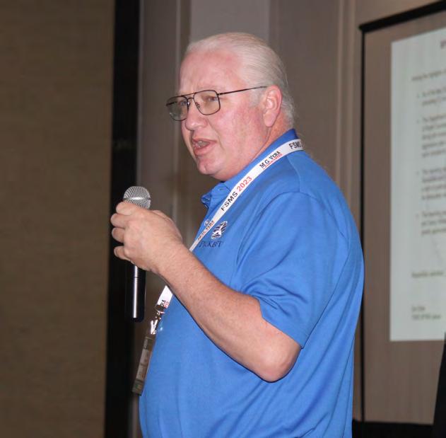
GENERAL BUSINESS
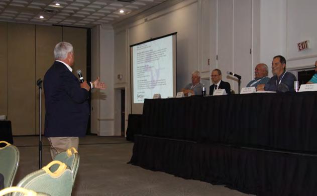


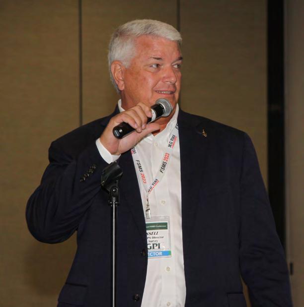
The Florida Surveyor Page 113
BUSINESS SESSION

July/August 2023 Page 114
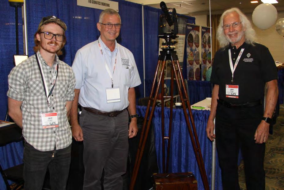
EXHIBITOR
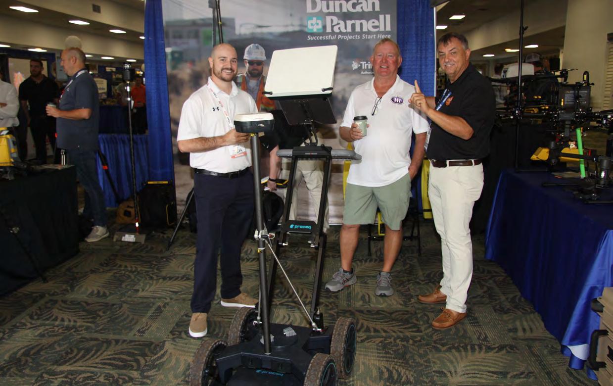

The Florida Surveyor Page 115
LUNCHEON

July/August 2023 Page 116
EXHIBITOR

The Florida Surveyor Page 117
LUNCHEON


July/August 2023 Page 118
EXHIBITOR

The Florida Surveyor Page 119
LUNCHEON

July/August 2023 Page 120
EXHIBITOR

The Florida Surveyor Page 121
LUNCHEON

July/August 2023 Page 122
EXHIBITOR

The Florida Surveyor Page 123
LUNCHEON

July/August 2023 Page 124
RECOGNITION


The Florida Surveyor Page 125
BANQUET

July/August 2023 Page 126
RECOGNITION

The Florida Surveyor Page 127
BANQUET

July/August 2023 Page 128
RECOGNITION

The Florida Surveyor Page 129
BANQUET

July/August 2023 Page 130
RECOGNITION
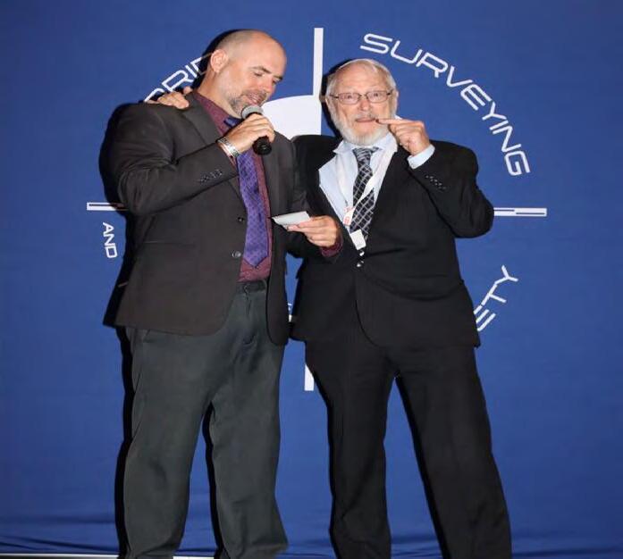
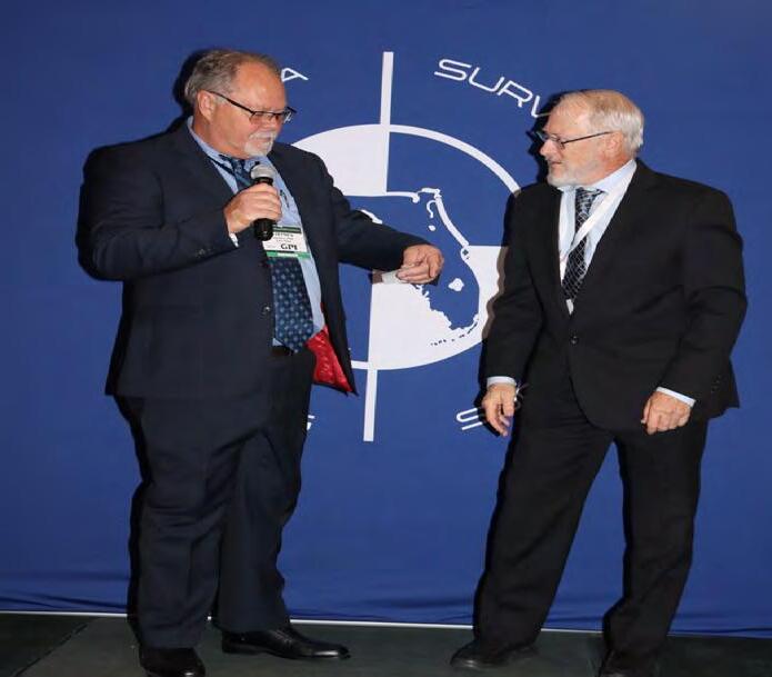
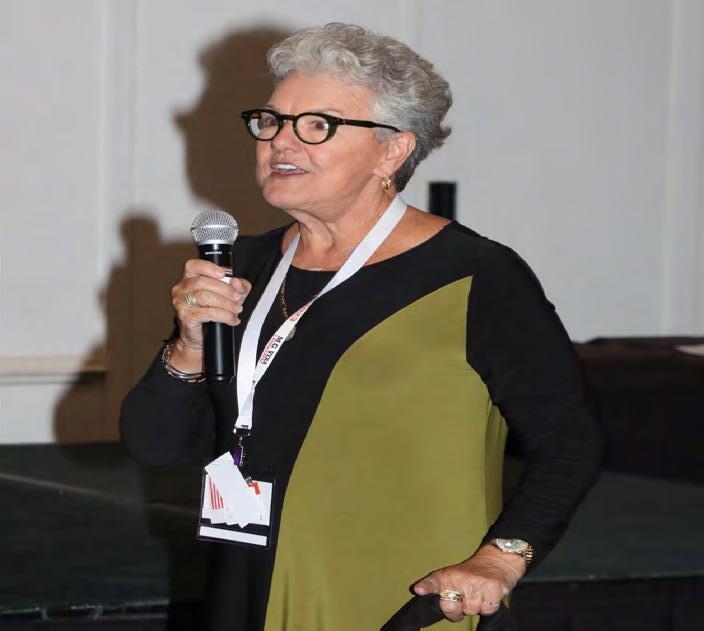
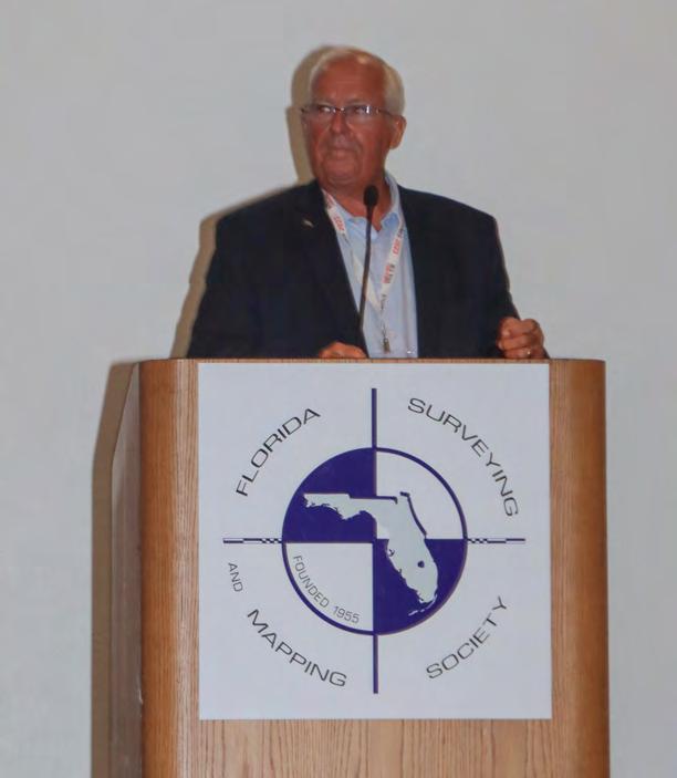

The Florida Surveyor Page 131
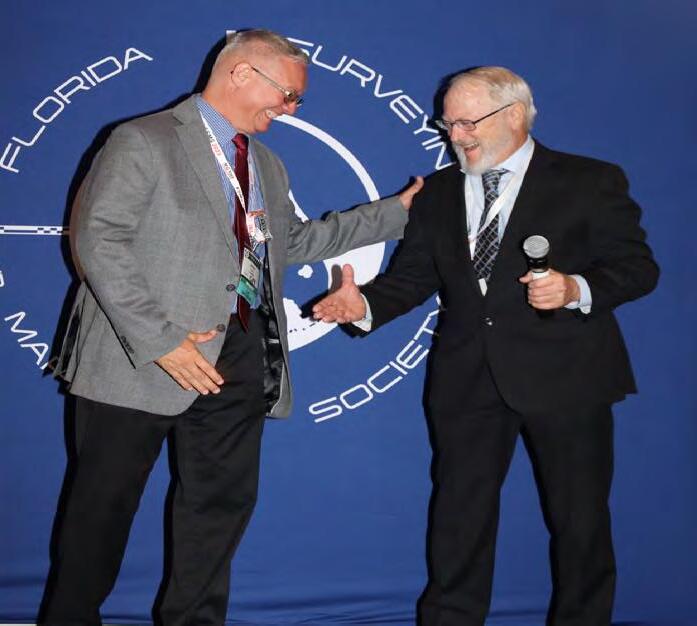
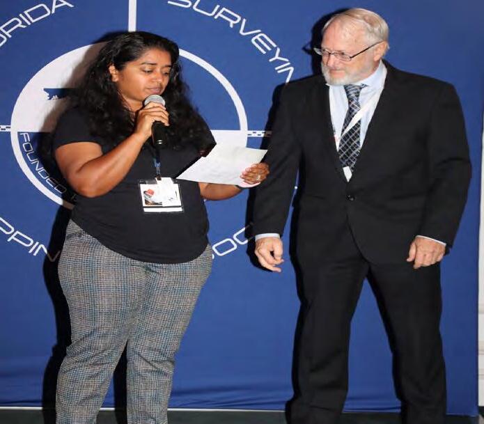
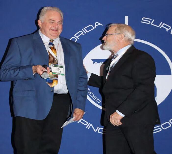
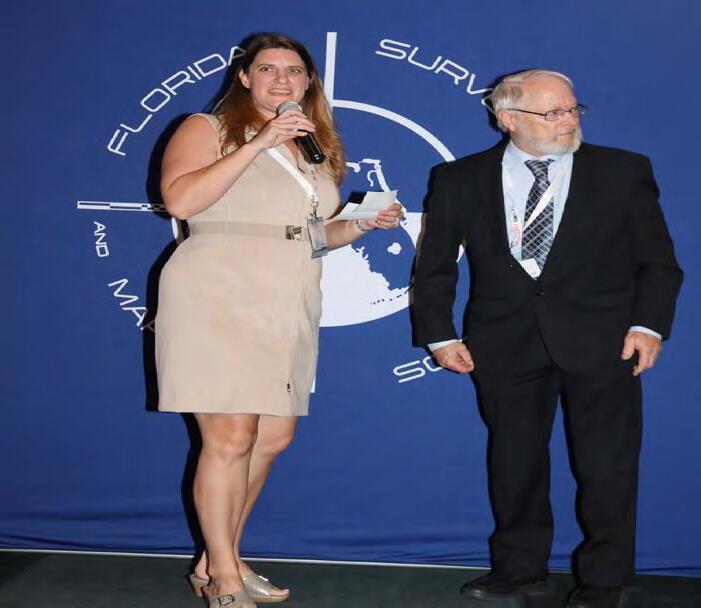
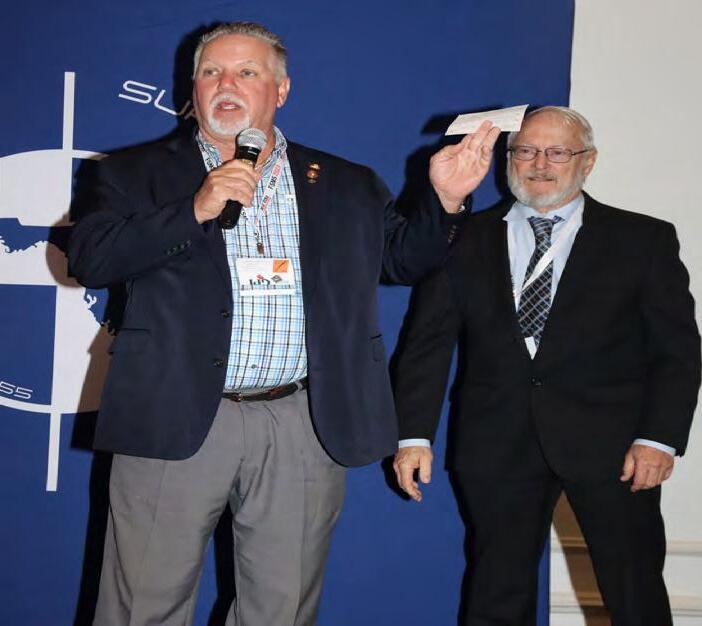
FSMS Chapter Representatives presenting Check for a Contribution
BANQUET

July/August 2023 Page 132
presenting President Howard Ehmke with a Contribution from their Chapters.
RECOGNITION


2023-24 FSMS Board of Directors and Officers

The Florida Surveyor Page 133
BANQUET
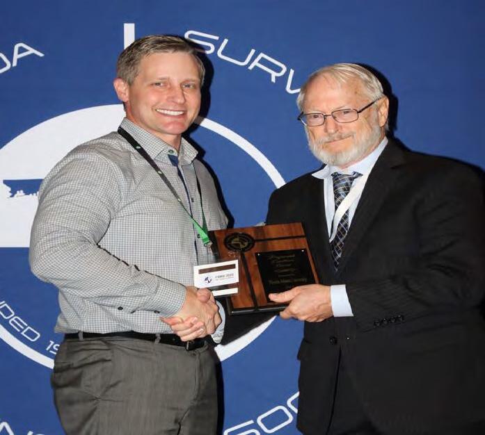
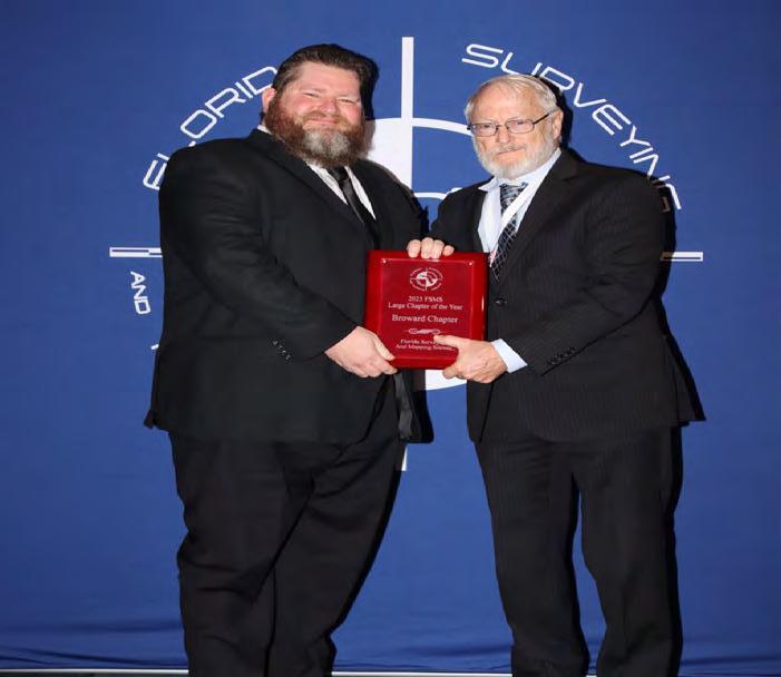
 Broward Chapter President Benjamin Hoyle receiving the "Large Chapter of the Year" award from President Howard Ehmke.
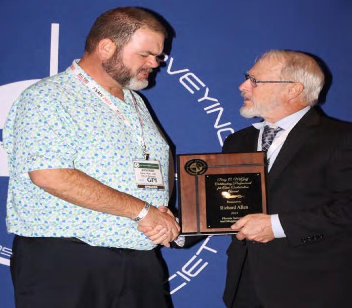
Richard Allen receiving the "Perry C. McGriff Outstanding Professional for Civic Contribution Award" from President Howard Ehmke.
Jim Sullivan receiving the "Professional Excellence Award" on behalf of Florida Atlantic University (FAU) from President Howard Ehmke.
July/August 2023 Page 134
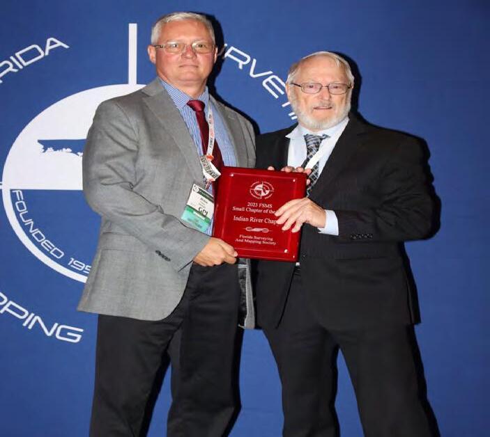
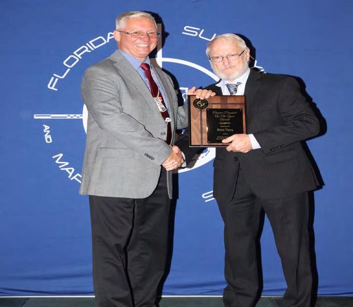
Indian River Chapter President Brion Yancy receiving the "Small Chapter of the Year" award from President Howard Ehmke.
RECOGNITION
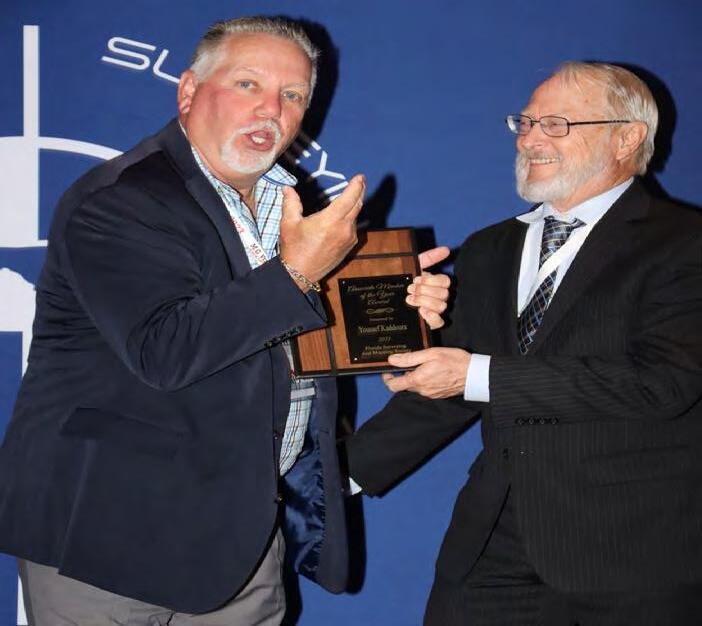
 Scott McLaughlin receiving the "Associate Member of the Year Award" on behalf of Dr. Youssef Kaddoura from President Howard Ehmke.
Indian River Chapter President Brion Yancy receiving the "Chapter President of the Year Award" from President Howard Ehmke.
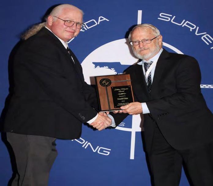
Past President Don Elder receiving the "Fellow Member Award" from President Howard Ehmke.
The Florida Surveyor Page 135
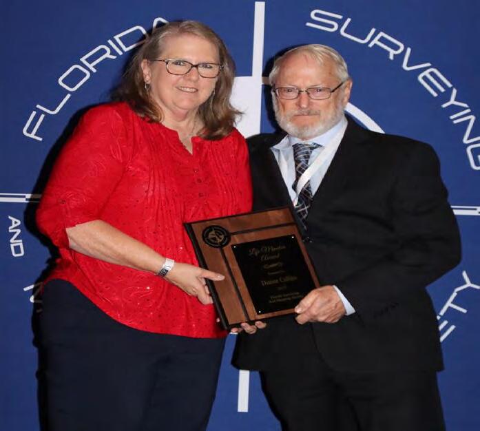
Past President Dianne Collins receiving the "Life Member Award" from President Howard Ehmke.
BANQUET
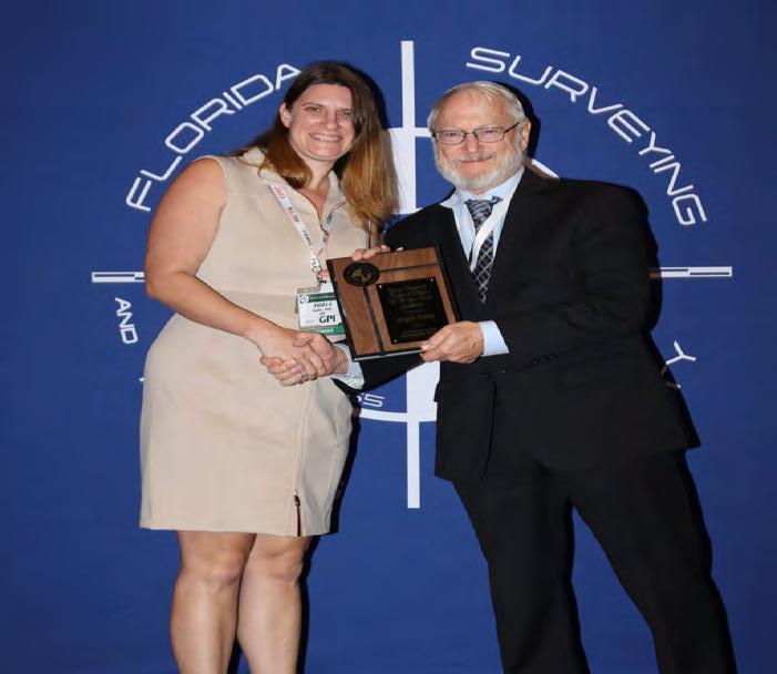
 Angela Bailey receiving the "Young Professional Surveyor of the Year Award" from President Howard Ehmke.
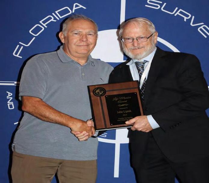
John Liptak receiving the "Life Member Award" from President Howard Ehmke.
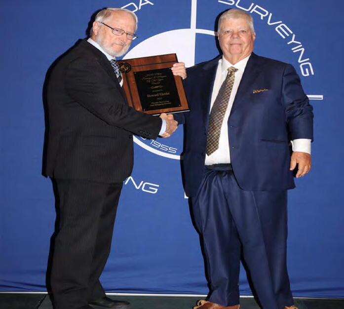
President Howard Ehmke receiving the "H.O. Peters Surveyor of the Year Award" from Past President Lou Campanile, Jr.
July/August 2023 Page 136
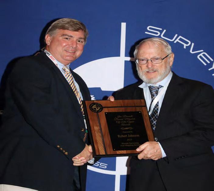
District 3 Director Robert "Bob"Johnson receiving the "Jim Bennett Board Member of the Year Award" from President Howard Ehmke.
RECOGNITION


 Past President Lou Campanile, Jr. receiving the "Steven Woods Exceptional Service Award" from President Howard Ehmke.
Education Director Sam Hobbs receiving the "2023 President's Award" from President Howard Ehmke.
The Florida Surveyor Page 137
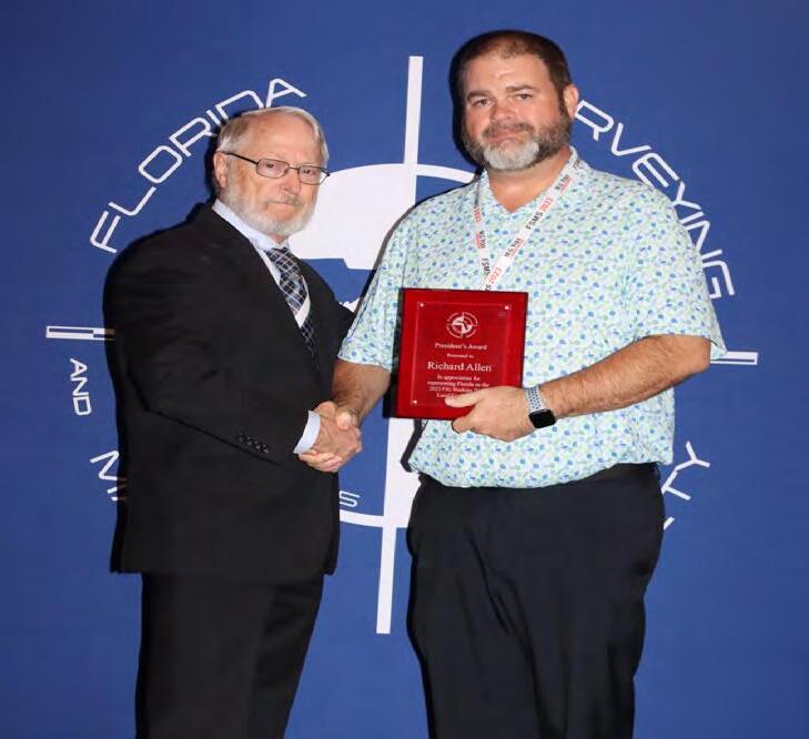
Richard Allen receiving the "2023 President's Award" from President Howard Ehmke.
BANQUET
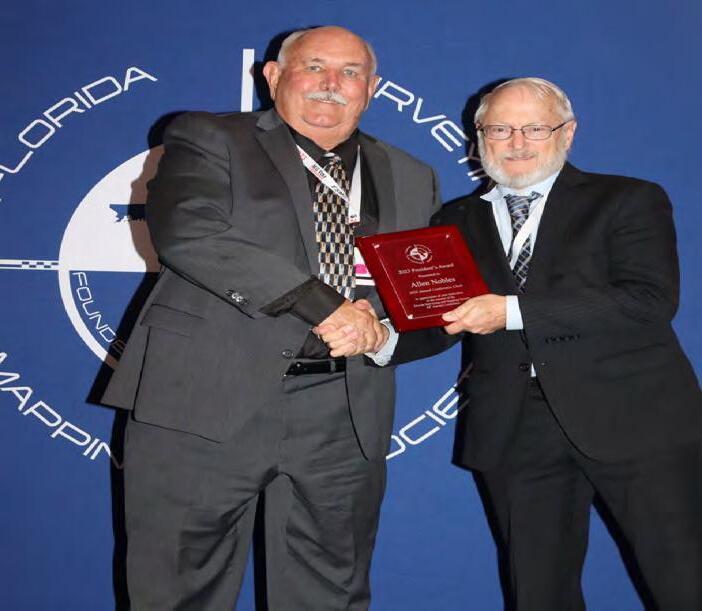
 Vice President Allen Nobles receiving the "2023 President's Award" from President Howard Ehmke.
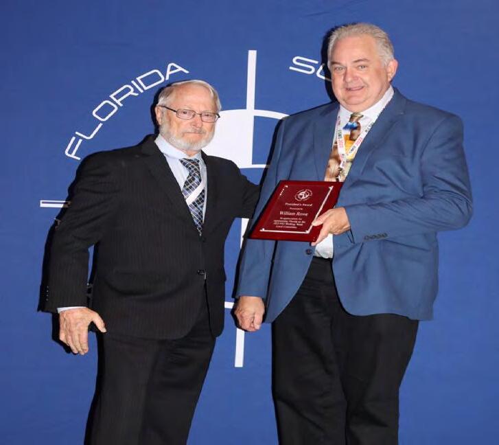
Past President & Central FL Chapter President William "Bill" Rowe receiving the "2023 President's Award" from President Howard Ehmke.
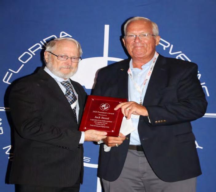
Past President Jack Breed receiving the "2023 President's Award" from President Howard Ehmke.
July/August 2023 Page 138
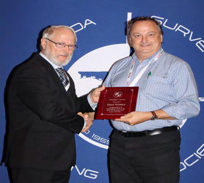
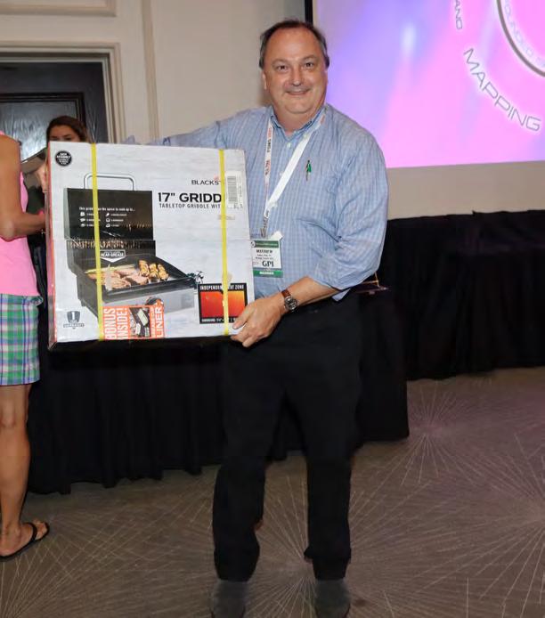
Matthew Kalus receiving the "2023 President's Award" on behalf of Daniel Whitaker from President Howard Ehmke.
RECOGNITION


The Florida Surveyor Page 139
BANQUET

July/August 2023 Page 140
RECOGNITION

The Florida Surveyor Page 141
BANQUET

July/August 2023 Page 142
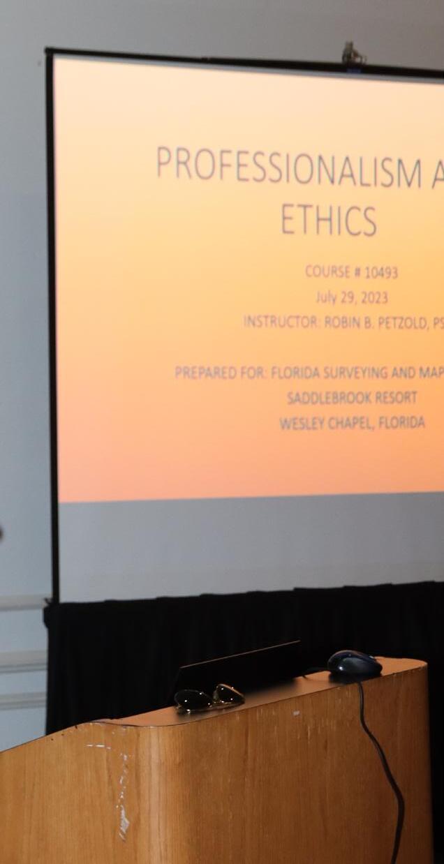
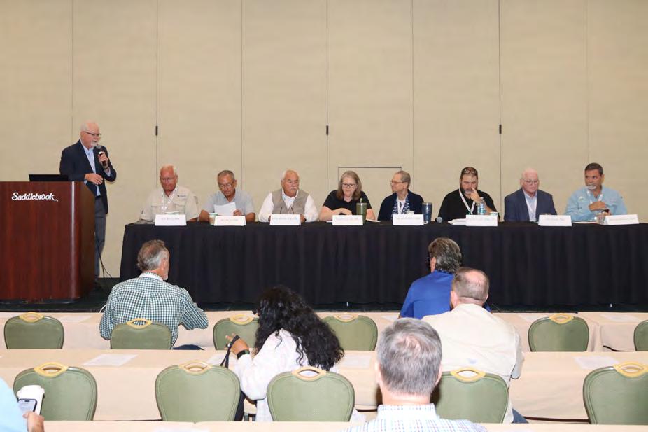
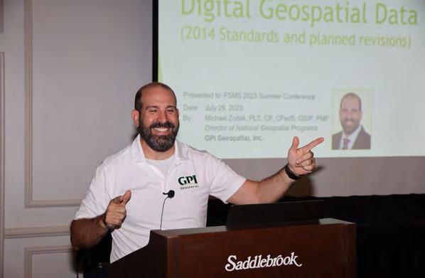
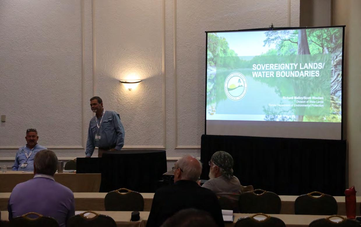
SEMINARS

The Florida Surveyor Page 143
SEMINARS

July/August 2023 Page 144
SEMINARS

The Florida Surveyor Page 145
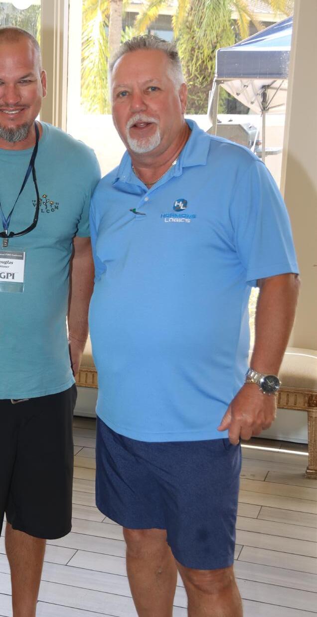
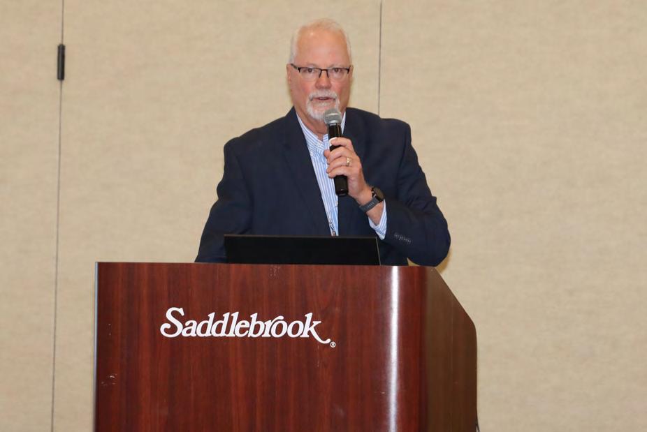
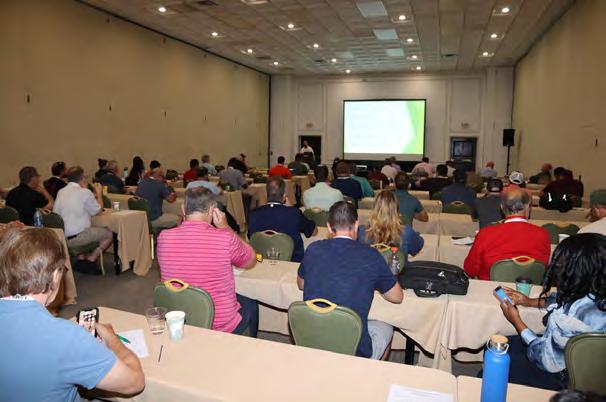
SEMINARS

July/August 2023 Page 146
DSWorld Online Tool Available

DSWorld software is a free application originally distributed by NGS in 2012 to display datasheet information in a “world view.” The tool adds new functionality in that it allows users to report errors they have discovered in the database. The software was designed to provide geospatial professionals and the public with up-to-date geodetic control information at the click of a button. Since its inception, it has been enhanced to become a major interface with NGS and the NGS Integrated Database (IDB).

The new DSWorld Upload Web Form , currently on Beta, offers many of the same features of the application as an online form. It allows users to upload new photos, descriptive text, and updated hand-held GPS coordinates for survey marks with poor positions, as well as report errors and corrections found in the database with photos, estimated coordinates, or text. The website will also allow users to request a new agency code if they do not currently have one.

The Florida Surveyor Page 147
Introducing the NSRS Modernization Alpha Site
To provide early access to upcoming, yet incomplete, products of the modernized NSRS, NGS has created the Alpha NSRS Modernization website. That site provides examples of the content, format, and structure of select data and products that NGS plans to release as a part of the Modernized NSRS. Products found on this page are for testing purposes only and do not contain any authoritative NGS data or tools. They are under active development and are subject to change without notice. But early access to alpha products should enable a smoother rollout of the Modernized NSRS. As products are released to this site, NGS will refer to them as being “released to Alpha.”

SPCS2022 Released to Alpha
An alpha version of the State Plane Coordinate System of 2022 (SPCS2022) and its implementation in the NGS Coordinate Conversion and Transformation Tool (NCAT) has been released to the Alpha site This includes:
• Alpha SPCS2022 website
• Alpha NCAT with SPCS2022 conversions enabled
• Online interactive maps of SPCS2022 zones
• Tables of zone definitions and example coordinates

• Maps of linear distortion with performance statistics
• Updated SPCS2022 Policy and Procedures

Alpha SPCS2022 content will be updated and augmented as it evolves toward completion
Progress in Ongoing Projects
There are currently 32 ongoing projects related to NSRS modernization around NGS. Here are some highlights.
GRAV-D (Project Manager: Jeffery Johnson)
In June of 2023, NGS's Gravity for the Redefinition of the American Vertical Datum (GRAV-D) project completed the airborne data collection effort in the American Samoan and Hawaiian regions. NGS teamed up with NASA Langley Research Center's Research Services Directorate to use their Gulfstream IV jet (Tail # N522NA) for this project. These remote Pacific islands were the largest hurdles for the GRAV-D project to finish before December 2023 so that the geoid team can have a complete airborne gravity data set as they build the North American-Pacific Geopotential Model of 2022 next year.
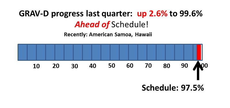
Issue 33 July 2023
Bermont Shooting Club
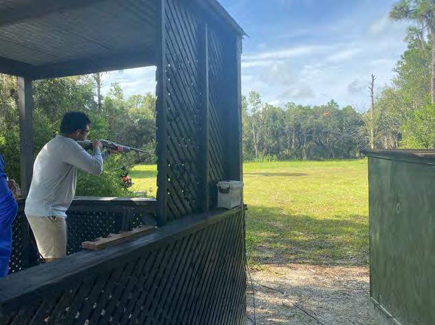
40571 Bermont Rd Punta Gorda, FL 33982
50 Bird Tournament
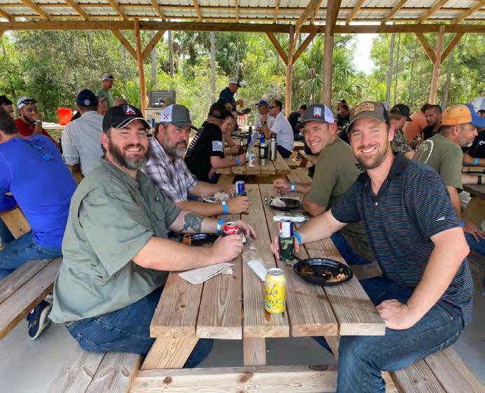
8 :00 AM Registration 9:00 AM Start
Must arrive by 8:30 AM for a mandatory safety lesson
Lunch and awards ceremony after the tournament
Challenges /Raffles / Prizes


Prizes for 1ST , 2ND , and 3RD place teams
Prizes for 1ST, 2ND, and 3RD place individual Green Bird Challenge for shotgun entry
50/50 Raffle
ABOUT US
The Florida Surveying & Mapping Society has served the State of Florida for over 60 years dedicating its efforts to making a difference within the community each local chapter resides in.
OUR MISSION
Our mission is to expand our community outreach to help provide school supplies for children in need and continue providing Christmas gifts and holiday dinners to families within Lee and Collier Cou nty.
The Florida Surveyor Page 149
PRICING SPONSORSHIPS
ONE PLAYER $130 FOURSOME $520
Pricing includes golf cart for a foursome, ammo, entry fees, breakfast, and lunch.
Shotgun rental is available for $20 (limited supply)
It is recommended 1 shotgun is shared by 2 people
There are only 28 golf carts available , act quickly!!
FOOD SPONSOR $2,500
1 - Full Price Slot, or 2 - $1,000 Slots & 1 - $500 Slot
Includes table display signs on each table and on the food table.
GREEN BIRD SPONSOR $1,200
*PRICE IS SUBJECT TO CHANGE*
1 - Slot Available
Tickets to display the company logo and table display to be displayed with rifle.
CART SPONSOR $800
1 - Slot Available
SPECIALTY STATIONS
PLEASE BRING CASH FOR ALL SPECTIALTY STATIONS
50/50 RAFFLE
1 TICKET FOR $2 OR
3 TICKETS FOR $5
GREEN BIRD CHALLENGE
1 TICKET FOR $20
RULES FOR THE GREEN BIRD: Players will get 1 shot at the Green Bird. If you hit it we will dou ble your tickets into the raffle. If you miss it, the amount of tickets you purchased will go into the raffle.
Includes 1 - 8.5"x20" color low tac sign to be displayed on the front of (28) golf carts.
DRINK SPONSOR $750
1 - Slot Available
Includes koozie with company logo per participant, and drink tickets to display the company logo.
STATION SPONSOR $250
14 - Slots Available
Includes 1 - 18"x24" color sign at a station.
VOLUNTEERS ARE NEEDED!
PLEASE LET US KNOW IF YOU OR ANYONE YOU KNOW WOULD LIKE TO VOLUNTEER FOR THIS EVENT.
FOOD AND DRINKS WILL BE PROVIDED TO ALL VOLUNTEERS
July/August 2023 Page 150
REGISTRATION FORM
TEAMS
The deadline for participant registration is October 30th
SPONSORSHIPS
The deadline for sponsor registration is October 13th
PAYMENTS ARE ACCEPTED VIA CHECK OR CREDIT CARD THROUGH SQUARE
Please make checks payable to: Florida Surveying & Mapping Society
Collier-Lee Chapter FSMS
AMOUNT ENCLOSED
Please mail checks to: Jennifer Sheppard 10511 Six Mile Cypress Parkway Fort Myers, Florida 33966
MALEFEMALE UNDER 16
SHOOTER #1
SHOOTER #2
SHOOTER #3
SHOOTER #4
INCLUDED WAIVER MUST BE COMPLETED AND EMAILED TO JSHEPPARD@BANKSENG.COM WITH YOUR REGISTRATION FORM
ONE
FOURSOME
PLAYER $130
$520
FOOD SPONSOR 2 - $1,000 Slots 1 - $500 Slot $2,500 $1,000 $500 GREEN BIRD SPONSOR $1,200 CART SPONSOR $800 DRINK SPONSOR $750 STATION SPONSOR 14 Slots $250
TOTAL
NAME
The Florida Surveyor Page 151
PARTICIPANT INFO
LAND WATER
With the help of Frontier Precision, places you once couldn’t imagine measuring are now a daily reality. Frontier Precision leads the way in Unmanned technology – through the air, land, and underwater. Every place on earth is now reachable – with UAS from DJI, Autel, Parrot, Ascent, and ROVs, Pipe Crawlers, and Utility Crawler solutions from Deep Trekker. Count on us to deliver the latest technology to help you get your job done e ciently and accurately while driving your profits. Today, no mission is out of reach.


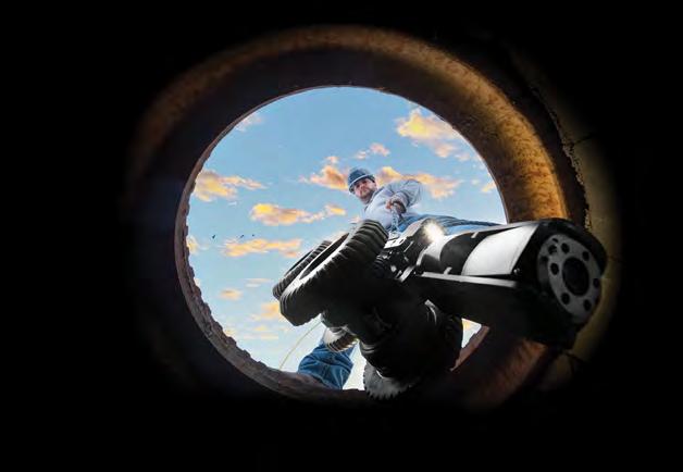
FRONTIER PRECISION | JACKSONVILLE 8301 Cyprus Plaza Drive, #107 Jacksonville, FL 32256 FIND OU T M O RE AT: WWW .FRO NT IE RPRE C IS I ON.CO M/UNMA NN ED PRO DUCTS | TR AINING | RE PAIR | REN TAL S | T ECHNI CA L SE R VICE S AIR
ADMINISTRATIVE Staff
Executive Director
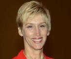
Rebecca Porter director@fsms.org
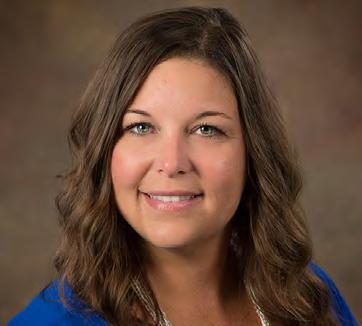
Education Director
Samantha Hobbs education@fsms.org

Communications Coordinator
Justin Ortiz communications@fsms.org

Regional Coordinator
Cathy Campanile
seminolecc84@gmail.com
The Florida Surveyor Page 153
Past Presidents
1956
H.O. Peters
Harry C. Schwebke
John P. Goggin
R.H. Jones
1960
Hugh A. Binyon
Russell H. DeGrove
Perry C. McGriff
Carl E. Johnson
James A. Thigpenn, III
Harold A. Schuler, Jr.
Shields E. Clark
Maurice E. Berry II
William C. Hart
Frank R. Schilling, Jr.
1970
William V. Keith
James M. King
Broward P. Davis
E.R. (Ed) Brownell
E.W. (Gene) Stoner
Lewis H. Kent
Robert S. Harris
Paul T. O’Hargan
William G. Wallace, Jr.
Robert W. Wigglesworth
1980
Ben P. Blackburn
William B. Thompson, II
John R. Gargis
Robert A. Bannerman
H. Bruce Durden
Buell H. Harper
Jan L. Skipper
Steven M. Woods
Stephen G. Vrabel
W. Lamar Evers
1990
Joseph S. Boggs
Robert L. Graham
Nicholas D. Miller
Loren E. Mercer
Kent Green
Robert D. Cross
Thomas L. Conner
Gordon R. Niles, Jr.
Dennis E. Blankenship
W. Lanier Mathews, II
Jack Breed
2000
Arthur A. Mastronicola
Michael H. Maxwell
John M. Clyatt
David W. Schryver
Stephen M. Gordon
Richard G. Powell
Michael J. Whitling
Robert W. Jackson, Jr.
Pablo Ferrari
Steve Stinson
2010
Dan Ferrans
Jeremiah Slaymaker
Ken Glass
Russell Hyatt
Bill Rowe
Dale Bradshaw
Lou Campanile, Jr.
Bob Strayer, Jr.
Dianne Collins
2020
Don Elder
Hal Peters
Lou Campanile, Jr.
Page 154
Please email communications@fsms.org to notify us of upcoming events.

Advertise With Us!
All advertisements contained within the publication are published as a service to readers. Publication of the advertisements does not imply or express any endorsement or recommendation by FSMS.
Benefits: Full color; hyperlinks added to your webpages as well as email addresses.
Requirements: Contracts for one year (11 issues) receive 10% discount if paid in advance; 15% for Sustaining Firms. (Ads should be in jpeg, pdf, or png format)
New ads and/or changes are due by the 25th of each month.
Size 1 Issue2-11 Issues Full Page $720 $395/issue 1/2 Page $575 $320/issue 1/4 Page $290 $175/issue


 GPI
GPI


 SIT Test Prep
Clymer Farner Barley
Central FL Chapter


