
PLAN4002 2022 Natalie Thai A4: Urban Design Proposal REIMAGINING GOULBURN As a strategic regional gateway in the Sydney to Canberra inland corridor


This planning proposal has been prepared to present an urban design framework for a vibrant mixed-use precinct in support of the future high-speed rail station in the heart of Goulburn’s town centre.
PLAN4002 2022 Natalie Thai A4: Urban Design Proposal 1.1 Executive Summary
Goulburn has been identified as a key regional locality on the Southern Inland Corridor, one of four proposed routes for the NSW high-speed rail (HSR) network. The proposed HSR network is anticipated to reduce commuting times from four hours to one hour between Sydney and Canberra, as well as service the new Badgerys Creek airport. As a major inland centre halfway between Sydney and Canberra in NSW’s Southern Tablelands, the development of a future HSR station presents a timely catalyst to elevate Goulburn as a strategic, regional gateway between two major Locatedcities.within the Goulburn-Mulwaree local government area (LGA), Goulburn is the single regional town within a predominantly rural region. The town provides significant services and infrastructure to support smaller, surrounding villages in Bungonia, Lake Bathurst, Marulan, Tallong, and Tarago, as well as its own growing population of approximately 32,138 people. In anticipation of the future HSR alignment and station to be developed on the edge of Goulburn’s existing town centre, this planning proposal seeks to create a vibrant mixed-use, residential precinct. The outcomes of this proposal will enhance liveability through a south-west extension of the town centre, deliver an uplift of 295 new dwellings and over 21,000 square metres of public open space. Based on five strong design principles, the new precinct will ultimately enhance inter-state connectivity, protect the value of heritage and cultural sites, and increase desire for regional lifestyle.

PLAN4002 2022 Natalie Thai A4: Urban Design Proposal CHAPTER 1 Planning context and site analysis
• Economic growth - attracting business investment, increasing existing business efficiencies and property values, and significantly stimulating tourism
SouthStateEast & Tablelands Regional Plan 2036
Value Uplift: Preliminary Investigation Report 2022 (UNSW City Futures Research Centre) HSR has an evident impact on existing property prices along and around transport corridors. The value uplift investigation devised a methodology to calculate the value uplift for residential land uses at HSR stations outside of major cities. Results from the report’s estimations of infrastructurerelated uplift combined with ‘what if’ scenarios (planning-related value uplift modelled around population growth) found that there could be potential value uplift of between $48 billion to $140 billion. This drive in investment presents significant opportunities for land rezoning in regional centres, particularly Goulburn, to deliver mixed-use development in support of future economic and demographic growth. The scope of this preliminary investigation is based on analysis presented in the High Speed Rail Phase 2 Report (2013) prepared by the Australian Department of Infrastructure and Transport. The report identifies several regional benefits from HSR, including:
• Connectivity - providing significant impetus for population growth in the regions, and improved access to health, educational, and employment services
Figure 2 Source: DPE 2020, p.11 Strategic plan of the South East and Tablelands Region towards 2036. Goulburn is located within a 1 hour drive of Canberra.
• Liveability - reducing pressure on housing and current transport networks in major cities, increasing competitiveness, liveability, and investment appeal in regional centres. Figure 1 Source: Pettit, Thackway & Wade 2022, p.9 Map of proposed HSR alignment and stations. Line 1 will bypass Goulburn in the Southern Highlands.
• Housing - diversify the housing market, design innovation for the built and natural environment, and explore adaptive reuse opportunities of heritage items
• Economy and employment - strengthen relationships with Canberra and Western Sydney, support local tourism, health, transportation and resource sectors, and improve night-time economy within the Goulburn CBD
• Environmentally sustainable housing choicesdeliver greater housing supply and choice, focus growth which maximises local infrastructure, manage rural lifestyles.
HighFederalSpeedRail
The plan sets out the following objectives:
PLAN4002 2022 Natalie Thai A4: Urban Design Proposal 1.2. Planning Context
Released by The Department of Planning and Environment in 2017, the South East and Tablelands Regional Plan 2036 sets a vision to balance economic growth with the protection of the region’s natural environment. The plan specifically prioritises the future development of Goulburn as a regional transport hub as well as building the region’s selfsufficiency. This is to be achieved by leveraging other significant infrastructure, such as Canberra Airport and the Port of Eden, to elevate transport links and fortify the region as a strategic gateway.


PLAN4002 2022 Natalie Thai A4: Urban Design Proposal 1.2. Planning ContextFigure3
Sydney-CanberraState Corridor Regional Strategy (2006-2031) The Sydney-Canberra Corridor Regional Strategy applies to 6 regional local government areas including Goulburn Mulwaree Council. The primary purpose of the strategy is to accommodate and manage growth while ensuring the preservation of surrounding rural landscapes, large pastoral lands, and environmental settings. Goulburn is identified as a key regional service centre for the central part of the Region. A key challenge faced by the Region is identified as population and housing.
• Community - facilitate and encourage equitable access to community infrastructure and services
• Goulburn and Marulan have residentially zoned land available for immediate needs, however, Goulburn is set to exhaust the supply of greenfield residential land within the next 2 to 5 years if development trends continue.
• Infrastructure - develop high speed rail links between the region, Canberra, Sydney, and Melbourne Urban Fringe Housing Strategy - Goulburn and Marulan 2020
Figure 4 Source: Elton Consulting 2020, p.18 Map of areas with land-use constraints in Goulburn. These are the Abbatoir (south-west), the Waste Water Treatment Plan (north-east), and Goulburn Airport (south-east).
• The majority of recent growth has been through residential subdivisions in Goulburn and Marulan. These new subdivisions have typically provided R2 Low Density Residential zoned land with a minimum lot size of 700sqm.
TheLocalTablelands Regional Community Strategic Plan (2016-2036) The Tablelands region comprises three local government areas; Goulburn Mulwaree Council, Upper Lachlan Shire Council, and Yass Valley Council. The plan’s objectives have been shaped by the aspirations of the region’s residents which will be taken into consideration when designing the new mixed-use precinct surrounding the future HSR station. These include:
• Given that household sizes are expected to decline and the population will continue to grow. It is estimated that an additional 3,359 dwellings will be required to meet demand by 2036.
• Environment - maintain a balance between growth, development, and environmental protection through sensible planning
• Economy - capitalise on the region’s close proximity to Canberra and its position as a convenient location to attract industry and investment
Source: Goulburn Mulwaree Council, Upper Lachlan Shire Council & Yass Valley Council 2016, p.4 Map of the Tablelands Region comprised of three local government areas; Goulburn Mulwaree, Upper Lachlan Shire, and Yass Valley.
The Urban and Fringe Housing Strategy (2020) identifies suitable areas for additional housing provision in Goulburn and Marulan to meet the expected increase in housing demands due to population growth. The Strategy notes the following emerging housing development trends in Goulburn:
• There is an emerging trend for more compact living close to the urban core. Recent development activity and increasing supply in this form of higher density development indicate the acceptance of the market to sacrifice large block sizes for more compact living with improved proximity and access.


The majority of Goulburn has a minimum lot size control of between 700 to 749 square metres on land zoned for residential land uses. Due to the large rural land parcels, residential subdivisions are popularly applied across the region.
PLAN4002 2022 Natalie Thai A4: Urban Design Proposal
1.3 Planning Controls
• The Goulburn Railway Station is currently located on a B2 Local Centre zone to provide ease of access to commercial land uses
Land use zoning Goulburn utilises a ‘Von Thunen’ land use zoning style whereby the town centre is zoned B3 Commercial Core followed by a ring of B2 Local Centre land. The majority of land which sits outside the commercial and business precincts are zoned R2 Low Density Residential with pockets of RE1 Public Recreation and SP2 Infrastructure.
Minimum lot size
• The precinct south-west of the existing town centre that is currently zoned R2 has potential for upzoning to support future population and development growth with the imminent HSR station. Floor space ratio Floor space ratio (FSR) is primarily applicable for the commercial core and business precinct within Goulburn town centre. There is no FSR control for land zoned for residential uses. This theoretically provides flexibility for higher-density residential development, particularly in close proximity to the town centre.


Flood prone land
PLAN4002 2022 Natalie Thai A4: Urban Design Proposal
1.3 Planning Controls
Height of building Similar to the FSR control, height of building control is primarily applicable to commercial and business core, as well as some of the closest surrounding residential areas. The town centre is allocated a maximum of 10 to 15 metres, which provides an opportunity for higher-density development closer to and within the precinct’s core.
Heritage
The Goulburn Mulwaree LGA possesses an abundance of heritage items and large conservation areas, including assets of Aboriginal significance. Parts of the Goulburn town centre and surrounding residential land are identified in the Goulburn City Conservation Area. Extensive and sensitive consideration will be taken to conserve heritage items surrounding the proposed precinct to minimise impact on these valuable regional assets.
A significant portion of land within and surrounding the study area is recognised as flood-prone land, particularly on the eastern side of the railway line. When observing development patterns in Goulburn, it is clear that land to the east of the railway line is highly developed unlike land to the west of the railway line which has primarily remained rural, agricultural land due to flooding constraints. This creates limitations for utilising available land in close proximity to the future HSR railway line and station.


This map shows the study area in relation to key connective streets and transport corridors.
streets
• Goulburn is bypassed by the M31 Hume Highway (motorway) which serves as the primary road connecting Sydney, Canberra, and Melbourne
• The existing heavy rail line that services the Southern Highlands and Southern Region travels adjacent to the eastern boundary of the town centre
1.4.a. Urban Site Analysis - Regional KeyContextconnective
• Goulburn East is the smaller community isolated by flood-prone land east of the rail line
• The town is serviced by four major metropolitan roads, generally running north to south
• Two primary structuring streets originate from the town centre and extend to suburban areas in the north
PLAN4002 2022 Thai A4: Urban Design Proposal
Hume Highway, Goulburn Source: Nearmap, 2022
• Auburn Street constitutes the Special Main road which bisects the Goulburn CBD.
The Hume Highway bypassing the southern border of Goulburn.
Natalie


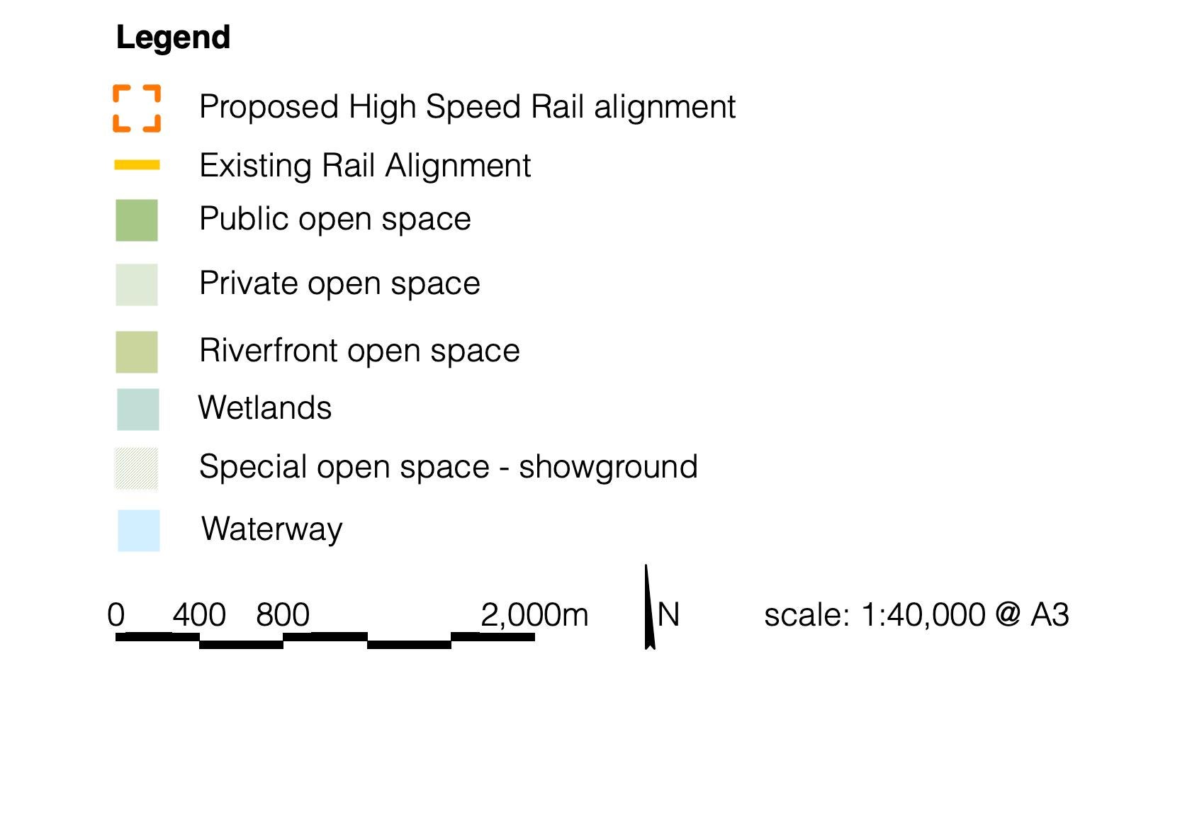
1.4.a. Urban Site Analysis - Regional KeyContextopenspaces and waterways This map shows the study area in relation to surrounding open spaces and waterways at a regional level.
• The Goulburn Golf Club and Goulburn Recreation Area are flood-prone and located directly adjacent to the Mulwaree River.
• Flooding events are relatively infrequent within the region, however, land east of the rail alignments are flood-prone
PLAN4002 2022 Natalie Thai A4: Urban Design Proposal
Victoria Park, Goulburn Source: Visit NSW, 2020 Rose gardens in Victoria Park during the region’s annual Rose Festival in March.
• Regionally-specific public open spaces include Victoria Park and Peden Oval to the north
• The Wollondilly River and Mulwaree Chain of Ponds are key natural waterways running through Goulburn from the west and south to the north east


• The study area is in unique possession of several heritage items and cultural sites, including the Rocky Hill Way Memorial and Museum, Goulburn Rail Heritage Centre, Goulburn Historic Waterworks, and popular tourist attraction, The Big Merino. 2022 Natalie Thai A4: Urban Design Proposal
• Education facilities for primary, secondary, and tertiary schooling are distributed across the region, including TAFE NSW Goulburn, Charles Sturt University, and NSW Police Academy
• Goulburn is identified as a regional city centre in the GoulburnMulwaree Local Strategic Planning Statement
Rocky Hill War Memorial, Goulburn Source: Destination NSW, 2022 View of Goulburn from the Rocky Hill War Memorial and Museum conservation.
• Goulburn Base Hospital and Goulburn-Bourke Street Health Service provide health care to the town and surrounding region
1.4.a. Urban Site Analysis - Regional KeyContexturbancentres and special places This map positions the key urban centre and special places within the Goulburn-Mulwaree region.
• Goulburn Correctional Centre is a major supermaximum, male penitentiary
PLAN4002


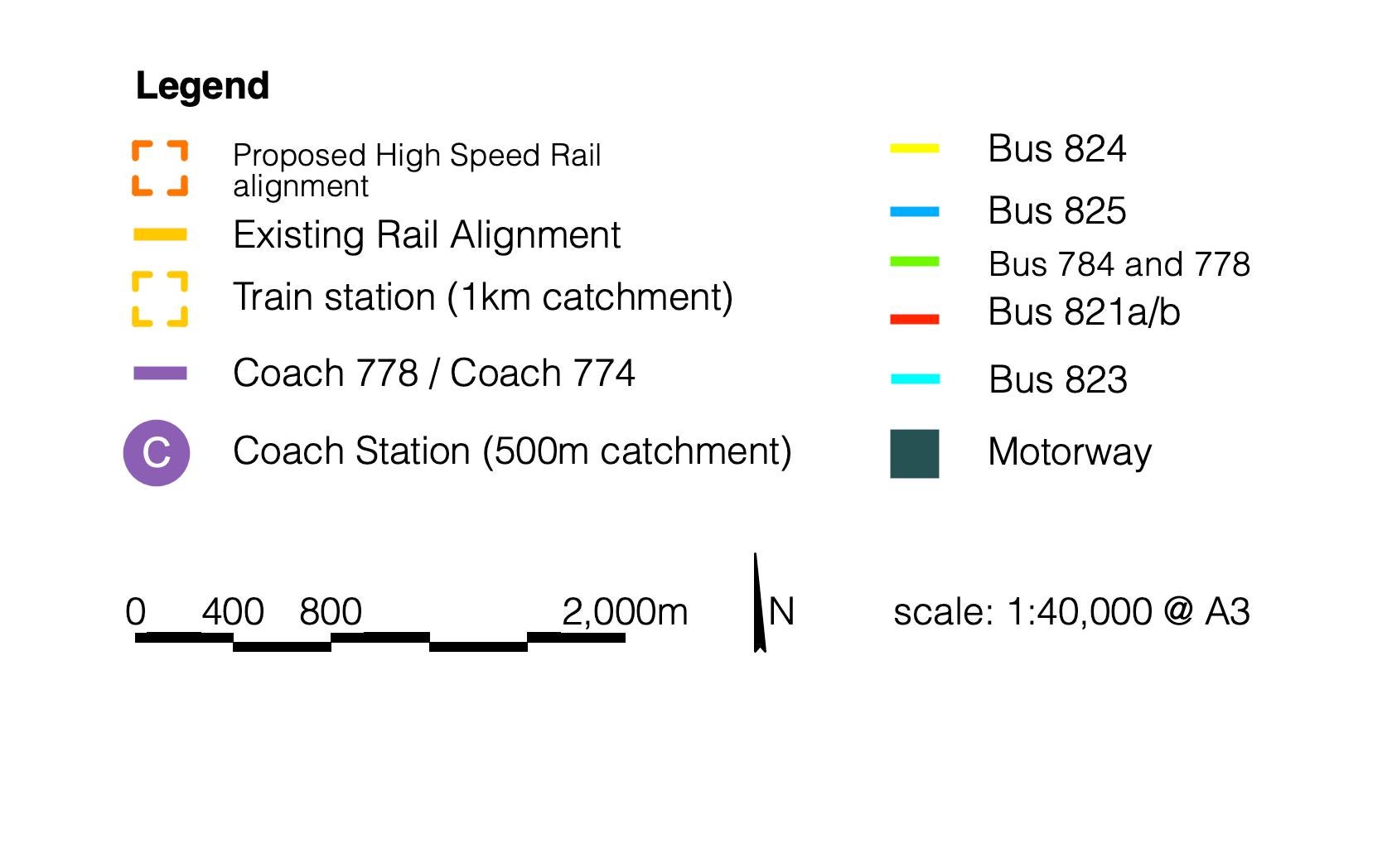
This map shows the regional and local bus, coach, and rail services within the study area.
• Coach 778 is an express service that travels between Campbelltown and Goulburn railways stations
PLAN4002 2022 Natalie
• Goulburn has one primary railway/coach station located in close proximity to the town centre. An additional coach stop is located on Lockyer Street, 3 km south-west from Goulburn railway station. The coach provides regional and inter-state services:
connections
Goulburn Railway Station, Goulburn Source: Transport for NSW, 2021
• Coach 784 travels between Canberra and Goulburn railway stations with 9 intermediate stops. Thai A4: Urban Design Proposal
• Goulburn East is the smaller community isolated by flood-prone land east of the rail line
The existing Goulburn Station is heritage listed, services the Southern Highlands and Souther Region, and provides regional and inter-state coach services.
• Five local bus routes service the local area and smaller neighbouring towns
1.4.a. Urban Site Analysis - Regional KeyContextpublictransport
• The existing heavy rail line that services the Southern Highlands and Southern Region travels adjacent to the eastern boundary of the town centre


• Large public open space is sparse in the town centre - Belmore Park (north-east) and Apex Park (south-west) are the main public open spaces located in close proximity
• Primary schools are prominent in the town centre with secondary and tertiary education facilities located approximately 2 km north-west of the CBD
• Land east of the rail alignment is flood-prone and used largely agriculture, sheep and cattle grazing, and boutique industries. BourkeStreet
• Community infrastructure and public services are centralised on Auburn Street and Bourke Street
1.4.b. Urban Site Analysis - Local Context
Key local sites within the town centre
PLAN4002 2022 Natalie Thai A4: Urban Design Proposal AuburnStreet
• The Goulburn central business district (CBD) and main street (Auburn Street) service four main metropolitan roads that connect the town to the Hume Highway
The map displays key sites, open spaces, educational facilities and public services in Goulburn’s town centre.


1.4.b. Urban Site Analysis - Local Context Public transport and walkability This map displays key public transport services and analyses walkability within Goulburn CBD. • Five local bus services (821/23/24/25) either operate or terminate on Auburn Street to service the Goulburn CBD • There are few to no bus stops in the north-west precinct where walkability is alarmingly low • Walkability peaks at intersections immediately adjacent to Auburn Street in the CBD, 750 metres south-west of the CBD, and 1,500 metres west-south-west of the CBD • Goulburn East is not walkable likely due to flood-prone land and the lack of connective streets linking the western and eastern sides of the rail line. PLAN4002 2022 Natalie Thai A4: Urban Design Proposal Auburn Street, Goulburn Source: Goulburn-Mulwaree Council, 2021 Auburn Street is Goulburn’s main business and retail boulevard with on-street parking and wide lanes for traffic. Goulburn East


A4: Urban Design Proposal Combermere
1.4.c. Figure Ground
The figure ground analysis reveals a significant deficit in public open space within the Goulburn town centre.
• The area south-west of Clinton Street is largely zoned B4 Mixed Use and R1 General Residential
• Public space is primarily provided through the town’s wide street grid, otherwise there is a significant deficit in public open space within the centre. Thai Street, Goulburn Source: Real Estate, 2021 of typical post-war housing typology in Goulburn - single, detatched dwellings on large lots of land.
PLAN4002 2022 Natalie
• Large developments fronting Clinton Street are primarily industrial warehouses
• Many dwellings in this vicinity are low-density, detached homes that occupy less than half of their respective land parcels
• Density is concentrated on Auburn Street which is the town’s main business and retail precinct
• Ad-hoc lanes and cul-de-sacs are prevalent throughout residential blocks and limit walkability
Example


PLAN4002 2022 Natalie Thai A4: Urban Design Proposal CHAPTER 2 Opportunities and design principles
• Carving new laneways and reclaiming streets to increase block walkability and legibility
PLAN4002 2022 Natalie Thai A4: Urban Design Proposal ClintonStreet
2.1. Opportunities Mapping
Based on regional and local site analysis, site-specific opportunities are particularly prevalent both in the existing town centre and south-west of Clinton Street. These include:
• Breathing new life into the town centre by delivering a new civic heart and various open spaces
• Creating a new active transport network centralised on Clinton Street to synthesise connections to Goulburn East
The proposed high speed rail (HSR) station presents a significant opportunity to elevate Goulburn, a key locality in the NSW Southern Tablelands, as a strategic gateway in the Sydney to Canberra inland corridor.
• Positioning the HSR station and respective precinct approximately 450 metres south-west of the existing rail station to create a natural extension of the town’s central business district
• Renewing low-density business and residential sites to increase local amenity to service the local community, neighbouring towns, and regional visitors

• Transform Clinton Street from a 40 metre vehicle-traffic only street to the central spine of a new active transport to reinforce green links and improve liveability and accessibility.
Design Principle 1 Reinvigorate Auburn Street as the central business district’s primary commercial thoroughfare by facilitating a south-west extension to the corner of Combermere Street.
• Repurpose and rebalance the identified trio of streets from conventional to shared streets by reducing speed limits within the commercial core to create safe pedestrian connections
• Increase the area of Goulburn Apex Park by approximately five times to create a significant park within the proposed civic centre
• Prioritise foot access to key sites within the precinct, including the Goulburn South Primary School, Goulburn Apex Park and the civic space, and employment opportunities along the commercial thoroughfare on Auburn Street. ClintonStreet
PLAN4002 2022 Natalie Thai A4: Urban Design Proposal
2.2. Design Principles Design Principle 3 Synthesise the local green grid by connecting a range of new open spaces with a network of active transport corridors.
• Renew quiet, suburban streets and increase connectivity to enhance local amenity and liveliness within the public domain.
• Position pocket parks and communal gardens throughout residential blocks in the north-west local neighbourhood precinct to ensure access to open space is within a 200 m radius
• Provide active street frontages along the extension and Bourke Street to facilitate fluid economic activity
Design Principle 2 Transform Bourke, Addison, and Mundy Street into a system of shared streets for flexible civic activity within the precinct’s commercial core.
• Fortify the extension as the CBD’s economic spine by supporting the establishment of diverse local employment opportunities
AuburnStreetextension BourkeStreet CombermereStreet MundyStreetAddisonStreet

• Extend an existing local road south of Glenelg Street to reinforce connectivity.
Integrating a public library and art gallery with a statement, landscaped roof to create a new civic square that responds to its surrounding cultural scene.
Medway Street footbridge Source: Christchurch City Council 2022
Design Principle 5 Create two street connections to enhance connectivity across the rail alignment and deliver alternative routes between Goulburn East and the CBD
2022 Natalie Thai A4: Urban Design Proposal
Deliver a new civic centre that reflects the town’s existing suite of rich cultural and historical assets.
• Pay tribute to Goulburn’s wealth of culture and encourage tourism by preserving the historical assets within the mixed-use precinct.
• Supplement the bridge between Park and Blackshaw Road with a secondary connection over the Mulwaree River via a western extension of Glenelg Street
Exemplar examples of best practice designDesign Principle 4
• Provide high-quality community facilities in close proximity to Goulburn South Primary School to service students, locals, and visitors
2.2. Design PrinciplesPLAN4002
• Increase connection between Goulburn East and the CBD, which is currently predicated on Park Road, to ensure equitable access to amenity
• Establish a new civic heart that is centred around the upgraded Goulburn Apex Park to provide locals and visitors with a communal, public space to gather
Sydney Olympic Park Metro West Source: The Australian 2020
Significant cross-river connection that provides foot and cycle access over the Otakaro Avon River Corridor to link residents across the local area.
Wide pedestrian promenades throughout the mixed-use, transit oriented precinct creates a vibrant, connected public domain.
BourkeStreet
Orange Regional Museum Source: Crone Architects 2016


PLAN4002 2022 Natalie Thai A4: Urban Design Proposal CHAPTER 3 Precinct plan
Three distinct precinct plans have been prepared to each test unique design concepts in key sites surrounding the proposed high speed rail (HSR) alignment. All three precinct plans aspire to preserve the layout of Goulburn’s iconic street grid. The town centre is primarily structured by a beautiful network of 30 metre wide streets that have created rows of 200 metre square blocks along special main streets running north-east to south-west. While these existing conditions deter walkability within the town centre, it also presents exciting opportunities for design interventions that reflect the town’s cultural and historical integrity, and regional Rathercharacter.than proposing the addition of new streets to break up key blocks within the town centre, the proposed precinct plans seek fine-grain interventions to maintain the existing conditions. This primarily consists of extending pedestrian laneways and local streets to open up dead-ends and encourage vibrant, public thoroughfares. Each plan will also incorporate active transport routes into the wide street carriageways which are currently dominated by private vehicles. Where interventions have been proposed in the existing town centre, sites of social, cultural, and heritage value will be conserved as civic assets. In addition to the creation of various open green spaces, each precinct plan demonstrates a consciousness to establish a vibrant people-focused, activities-based, mixed-use residential precinct that capitalises on the new HSR station.
Goulburn’s town centre will be transformed into a thriving mixed-use precinct
nalPtnicerP 1 Option 1 Option 2 Option 3 PLAN4002 2022 Natalie Thai A4: Urban Design Proposal
3. Precinct Plan


Key features include:
• Auburn Street as the main street: enhancing this existing strip as the town’s primary business boulevard by increasing pedestrian permeability with laneways to the immediate north-western and south-eastern blocks
• Green links: designing various pocket parks and new public open spaces to connect the precinct’s two existing open spaces, Victoria Park and Belmore Park. The shared location of the two railway stations, flooding, and built form constraints do not lend this option to provide new pedestrian links to Goulburn East. However, the community of Goulburn East will be able to access the precinct’s increased amenity via an existing route along Park and Blackshaw Road.
• Preserving generous block sizes: limiting the creation of new south-east bound local streets or extensions and redirecting traffic through surrounding streets to prioritise pedestrian safety in the CBD
Densifying the existing town centre Option 1 is predicate on densifying the existing town centre and locating the new HSR station adjacent to the existing railway station. This option proposes to implement minimal intervention to conserve the value of significant social, cultural, and heritage sites that define the town. Primary intervention will be through opening up existing laneways. This presents opportunities to boost walkability and encourage pedestrian-friendly activity along the precinct’s main streets.
PLAN4002 2022 Natalie Thai A4: Urban Design Proposal 3.1. Precinct Plan - Option 1
• Public amenity on the precinct boundaries: the precinct is anchored by Victoria Park in the north-west, Clinton Street to the south-west, HSR station to the south-east, and Goulburn Public School to the north-east
ClintonStreet AuburnStreet BlackshawRoadParkRoad

• Significant public open spaces: expanding Goulburn Apex Park and Manfred Park to create a grand natural promenade for HSR commuters, and providing a new sports field
South-west extension of the town centre Option 2 proposes a south-west extension of the town centre to facilitate the establishment of a completely new precinct. The HSR station will be positioned approximately 320 metres south-west of the existing railway station to create a natural extension of the current CBD. Unlike Option 1, this plan does allows for additional local street extensions to Goulburn East. In addition to laneway extensions, Option 2 also proposes new local streets in the north-west corner create multiple through-block connections to ensure cyclists and pedestrians can legibly navigate through the precinct.
• Extension of two special main streets: Cowper and Auburn Street extension will continue functioning as the town’s main business and retail boulevards
• Connectivity to Goulburn East: extending Combermere Street and bridging over the Mulwaree River and west extension of Glenelg Street for equitable access to amenity in the HSR precinct
3.2. Precinct Plan - Option 2
Key features include:
• Clinton Street as a spine for active transport: the 40 metre wide street presents unique opportunities to reimagine four lanes of vehicle traffic into an active transport boulevard that bisects three main streets.
PLAN4002 2022 Natalie Thai A4: Urban Design Proposal
This option is less responsive to the built form and conditions of the existing CBD north of Clinton Street. This could pose a risk in inducing a competitive economy within the new HSR precinct that may potentially impact business and retail activity currently occurring within the town centre.
ClintonStreet
AuburnStreet BourkeStreetCowperStreet
• Bordered by two major roads: Clinton Street and Mundy Street will attract the first visitors entering Goulburn from the Hume Highway
MundyStreetCombermereStreet
Glenelg Street


Option 3 seeks to test the possibility of extending and intensifying Goulburn East. While flooding events are relatively infrequent within the Goulburn Mulwaree region, a significant portion of this area is identified as flood-prone land, particularly east of the railway line and west of the existing community. As a result, most of the land closest to the railway line has historically been left as unoccupied rural land with little street connections to the rest of the town centre. Through understanding and acknowledging these constraints and limitations, there are several flood mitigation strategies that could be implemented to ensure the delivery of safe and resilient development within close proximity to the HSR station.
• Southern extension of Goulburn East: land south of the existing community lies outside of the flood zone and therefore presents a great opportunity for greenfield development
• Floodable parkland: increasing the utility of unused rural land by encasing the Mulwaree River between floodable parks. These parks can be designed to control flow rates and store excess floodwater in the case of a flooding event. Aside from mitigating disasters, these vast open spaces can be utilised for community events at the leisure of residents and visitors
• Consolidated street network: boosting connectivity to amenity west of the railway line by extending Glenelg Street to the HSR station, extending Bathurst Street in the north, and creating a new main street south of Glenelg Street. Along with new local extensions, this network will also have capacity for active transport routes and increased public bus services from Goulburn’s CBD.
PLAN4002 2022 Natalie Thai A4: Urban Design Proposal 3.3. Precinct Plan - Option 3
Key features include:
Flood mitigation and intensification in Goulburn East
Glenelg Street Bathurst Street

PLAN4002 2022 Natalie Thai A4: Urban Design Proposal 3.4. Precinct Plan - Preferred Option 4
Mundy, Addison, and Bourke Street will form a network of shared streets with pedestrian priority. This will be complemented by lane and street connections that permeate the north-east face of blocks bordered by Clinton Street. A new bus service will service the precinct and Goulburn East to provide timely services to the HSR station. To enhance civic life and pay homage to Goulburn’s wealth of culture and heritage, Bourke Street will become the precinct’s civic heart and deliver a variety of social infrastructure to service the new population as well as the existing primary school. These include a medical centre, indoor fitness and aquatic centre, community centre and library, and a public plaza and square. Finally, street frontages on key retail and business boulevards will be activated.
BourkeStreet
Density is primarily concentrated on the two special main streets, Auburn and Cowper Street. Intensity slightly decreased in the shared street zone, particularly around the primary school to maintain the scale of the streetscape.
MundyStreet AddisonStreetClintonStreetCowperStreet AuburnStreet
Strengthening Goulburn to the south and east Option 4 proposes a preferred design that triages elements from the previous three precinct plans in order to fulfil the proposal’s 5 design principles. This option ultimately adopts the street network and green grid from Option 2 and in like manner, pursues to position the HSR station south-west of the existing railway station. To take advantage of available land in Goulburn East, the proposed street extensions from Option 3 will be fulfilled, however, development will occur strictly in the south due to the higher risk of flooding west of the community. Floodable parks and new open space will be delivered instead.


ClintonStreet
exemplars BourkeStreet MundyStreet AddisonStreet AuburnStreet CowperStreet Glenelg
George Street, Sydney Source: Wikimedia 2020 George Street has been transformed into a 30 metre wide pedestrian priority boulevard in the heart of Sydney’s CBD to supplement light rail services. practice precinct Street
A proposed horseshoe-shaped park in Savannah’s Eastside suburbia as part of a legacy project by the Congress for the New Urbanism (CNU). This project is aligned to the city’s existing network of public squares and colonial heritage.
Melbourne, Victoria Source: Twitter 2017 Degraves Street, one of Melbourne’s original laneways, is a bustling pedestrian walkway and social thoroughfare linking the city’s retail precinct to Flinders Street Station.
Best
Savannah, Georgia Source: CNU Journal 2019
PLAN4002 2022 Natalie Thai A4: Urban Design Proposal 3.5 Preferred Precinct Plan - Exemplars


PLAN4002 2022 Natalie Thai A4: Urban Design Proposal CHAPTER 4 Urban design framework and planning proposal
ClintonStreetBourkeStreet AuburnStreet
PLAN4002 2022 Natalie Thai A4: Urban Design Proposal 4.1 Illustrative Master Plan
Located approximately 240 metres west of the proposed HSR station, the new mixed-use precinct is purposefully designed to increase housing diversity, liveability, and overall amenity in Goulburn’s town centre.
To mitigate the impacts of urban heat, local streets have been planted in the rhythm of medium and large trees to create a robust urban tree canopy within the public domain. As the widest and longest stretch, Clinton Street will act as the town’s primary active transport corridor and be lined with mature trees to ensure shade across the broad pavements.
The on-site heritage item will be conserved either in whole or slightly modified for adaptive reuse. This is for the primary purpose of supporting the surrounding community facilities and mixed-use retail with a building facade that represents local culture and character.
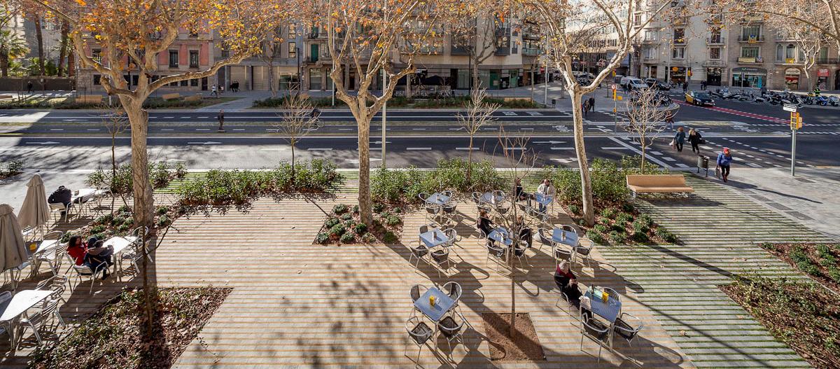
Barcelona, Spain Source: Unsplash, 2017 Local street with dedicated cycling lane lined with large trees to create a pleasant and distinct public domain character.
The existing street network has been strategically articulated to create a vibrant, walkable public realm that facilitates a range of pedestrian activities. Wide carriageways and surplus on-street parking have been refined to two lanes of vehicle traffic. A connected cycling grid has been introduced throughout streets surrounding the HSR station to encourage the use of active transport.


ClintonStreet BourkeStreet AuburnStreet
Goulburn’s wide streets, ranging from 20 to 40 metres, lay the foundation for a strong public domain. In response to the surrounding conditions, intricate interventions have been inserted into the existing street network to increase local walkability. Rather than subdividing lots with equally broad streets, laneways have been added to the northern half of the block to reinforce a public edge along the new local park. This will also increase walkability along Bourke, Auburn, and Clinton Street where pedestrian activity is expected to concentrate.
A small system of shared streets has been developed in the southern corner of the block surrounding the proposed cluster of community facilities. This intends to integrate low-speed vehicles within a pedestrian-focused environment. This is to prioritise pedestrians congregating in high volumes around the mixed-use businesses, community facilities, and plaza operating within this space. To indicate this change in pace, the shared zone will be distinctly designed with permeable pavement to allow for water penetration and a comfortable walking experience, loose avenues of trees, and council-managed bollards.
PLAN4002 2022 Natalie Thai A4: Urban Design Proposal 4.2a Public Domain Structure Plan
Kensington Street, Chippendale Source: Landezine, 2016 Kensington Street has been redesigned as a shared zone to provide through-site links to Central Park. Vehicle speed and access is limited to allow alfresco dining.
The public domain structure is designed to maintain Goulburn’s iconic wide street grid while extending Auburn Street as the primary business and retail boulevard, integrating laneways to increase local walkability, and delivering high-amenity public open space within the heart of Goulburn’s town centre.
Laneways and shared zones


Transforming a section of the wide footpath into an outdoor children’s playground recinforced by discreet fencing for safety from traffic.
The 50 metre boulevard has dedicated space for 20 metre wide streets for wide pavement and two rows of trees.
ClintonStreet
Clinton Street has been redesigned to place pedestrians front-of-mind. The 40 metre street currently dedicates its entirety to four lanes of traffic and surplus on-street car parking. To reclaim this space for a more vibrant public domain, four lanes have been redistributed for two lanes of traffic and two lanes of cycling.
Reducing the carriageway extends the street boundary and leaves about 15 metres on either side for pedestrians and cyclists. By extending this boundary and reclaiming space from cars for people, this design unlocks exciting opportunities for new outdoor activities. For example, businesses could capitalise on outdoor dining and the community could enjoy pocket playgrounds, parks, and gardens positioned along the major street under robust tree canopy.
Passeig de St Joan, Barcellona Source: Adria Goula, 2015
Passeig de St Joan, Barcellona Source: Adria Goula, 2015
PLAN4002 2022 Natalie Thai A4: Urban Design Proposal
Outdoor rooms on Clinton Street
4.2b Public Domain Structure Plan


PLAN4002 2022 Natalie Thai A4: Urban Design Proposal View looking SE down Clinton Street

AuburnStreet
Certain sections of the park have been dedicated for specific activities, including a 200 metre east-west promenade between Bourke Street and Auburn Street. This intends to create a green link between Goulburn Apex Park and Manfred Park to the south, forming a natural walkway for visitors to parade from the HSR station and through the precinct.
Svandammsparken, Stockholm Source: Landezine, 2022
The western corner of the park is designed to include water features and play equipment. Given the region’s vulnerability to urban heat and the lack of urban cooling interventions, the water park is anticipated to become a popular location for local families and visitors to enjoy during the hotter seasons.
PLAN4002 2022 Natalie Thai A4: Urban Design Proposal
4.2c Public Domain Structure Plan
The public domain is defined by the Goulburn Apex Park extension. The new park provides a significant 21,800 square metres of new public open space, accounting for approximately 40.6 percent of the new precinct. With a public primary school located on the adjacent block and the integration of new community facilities in the southern corner, the park’s vast open lawns are suitable for various sporting activities, outdoor gatherings and picnics, and colourful community events.
Public Open Space
This is one of the most popular parks visited by locals across the district and features a central splash pond, open lawns, and large tree canopy lining the main street.
BourkeStreet


PLAN4002 2022 Natalie Thai A4: Urban Design Proposal View looking SE from Bourke Street down the terraces

4.2d Public Domain Structure Plan
• The new community facilities are within walking distance from the HSR station and will attract local residents, particularly students and workers, within the surrounding neighbourhood.
The large public open space is the central feature of the public domain master plan, which is situated in the heart of Sydney’s CBD. The shared and pedestrian priority streets creates intimacy and legibility. Through-site links effectively synthesise the park with surrounding mixed-use developments and street character.
• The concentration of higher-density mixed-use development fronting Clinton Street responds to other mixed-use buildings currently bordering the major transport corridor
• There is a clearer and more legible street grid in the redeveloped block with serval through-site links to boost walkability
The figure ground analysis reveals the successful outcomes of fulfilling the precinct’s five design principles.
• The new urban park addresses a significant deficit in public open space within and surrounding the existing town centre to service visitors and locals in a range of outdoor recreational activities
Figure Ground
PLAN4002 2022 Natalie Thai A4: Urban Design Proposal
Central Park, Chippendale Source: Landezine, 2019


• Two sets of twelve terraces are oriented to overlook the new urban park and are hidden behind apartment blocks to create a quieter neighbourhood environment
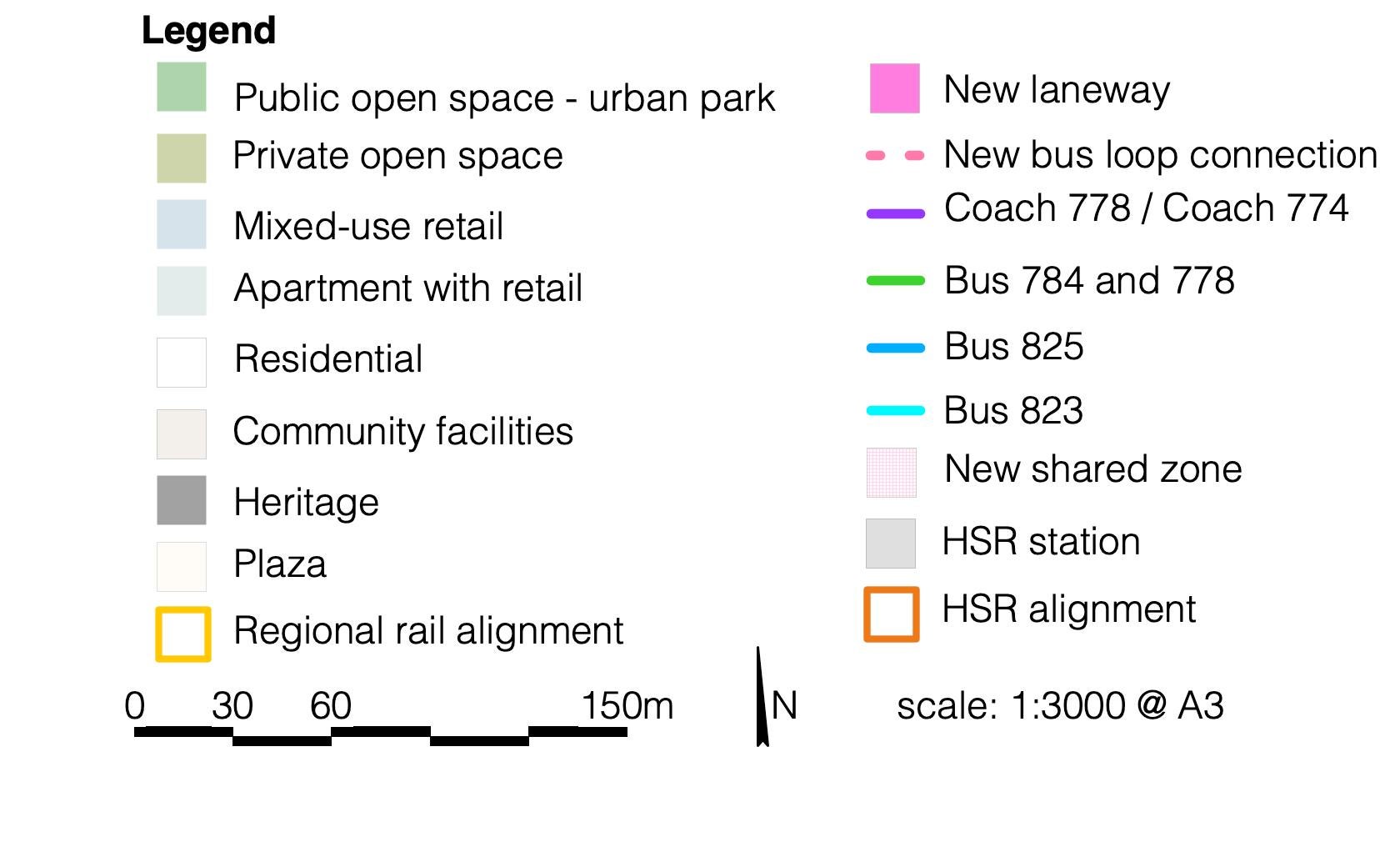
The map demonstrates a mixed-use block characterised by medium residential density and ground floor retail to support the extension of business activities on Auburn Street and increase housing delivery in close proximity to the HSR station.
• Private courtyards, particularly in the two northern blocks with higher density, will supplement the public park and create more intimate form of open space for ground-floor businesses and residents
A range of residential building types have been incorporated throughout the block, including apartments above retail, terraces, and studio apartments to address the lack of housing diversity within Goulburn.
• Apartments above retail and shop-top housing will frame the north, east, and west block boundaries
4.3a Block and Built Form Plan PLAN4002 2022 Natalie Thai A4: Urban Design Proposal
• Ground floor mixed-use retail will create active street frontages on Clinton Street, Auburn Street, and Bourke Street
• High quality community facilities clustered in the southern corner of the block will create a lively creative hub.
Building footprint by type


Building footprint by height
• Heights are stepped down as buildings approach the public open space to protect sight-lines and solar amenity for all residential dwellings
• A maximum street wall of 6 storeys is set to frame the corners of Clinton Street. This height will be balanced by the 40 metre wide active transport corridor
The building heights across the block respond to the local character of Goulburn’s town centre and surrounding neighbourhood areas. The controls specified are strategically positioned to reinforce the north, west, and eastern block boundaries, as well as present opportunities for quieter, residential qualities closer to public open space and facilities.
4.3b Block and Built Form Plan PLAN4002 2022 Natalie Thai A4: Urban Design Proposal 3 2 52 5 5 5 3 3 4 4 4 4
• Community and mixed-use buildings next to the heritage item have a set-back of 3 metres to preserve the integrity to avoid overshadowing and ensure the site shines as a key public feature of the block.
• Neighbourhood character and housing diversity is created through the three storey terraces and supplementary garage-top studio apartments fronting the park. The six garages closest to the inner lane will not have a secondary dwelling as this area will have the highest overshadowing impact
• Medium density mixed-use apartments book-end the row of terraces to face onto Auburn Street and Bourke Street. This is to provide additional ground floor mixed-use retail and business along the primary streets and service the surrounding residents


View looking north towards the theatre on the corner of Auburn and Addison
PLAN4002 2022 Natalie Thai A4: Urban Design Proposal

Given the local value and character of the Georgian dwellings, there are no proposed changes to the existing heritage controls.
4.4a Existing Planning Controls Height PLAN4002 2022 Natalie Thai A4: Urban Design Proposal Zoning FSR
FSR As a result of the current zoning controls, a FSR of 1.5:1 is applied across the block with exception to the park. Blocks in the town centre have a slightly higher FSR of 2:1. Height Lots within the B4 zone have a maximum height control of 10 metres while the commercial core has a maximum of 15 metres. A maximum of 8 metres is applied to blocks south of the site to supplement low-density residential development that is characteristic of regional towns.
Zoning A blanket zone of B4 Mixed Use is currently applied to the entire block. This is with the exception of Goulburn Apex Park which is zoned as RE1 Public Recreation. The block north of the subject site is part of the town centre and as such, is zoned B3 Commercial Core. Areas south of the site are zoned for low-density residential.
Heritage
Heritage The heritage items identified on-site consist of Georgian dwellings classified as item 5, 7, 9, 11, and 13 Addison Street. The rest of the block and surrounding town centre are subject to the heritage conservation area.


TheHeightfollowing changes to the maximum height of building controls under the Goulburn Mulwaree LEP (2009) are proposed:
PLAN4002 2022 Natalie Thai A4: Urban Design Proposal
TheZoningfollowing changes to the land-use zoning controls under the Goulburn Mulwaree LEP (2009) are proposed:
• Block 4 - 1.49:1 1 1 32 2 2 4 4 4 555
• Height and density is to be concentrated on the main street corners and frontages to respond to ground floor activity
• Block 3 and 4 will create a medium scale neighbourhood environment that compliments the adjacent open space and surrounding public domain.
• Maintain the B4 Mixed Use zoning control for block 1 and 2 facing Clinton Street to integrate suitable business and retail functions with residential development along the primary streets
• Apply the existing RE1 Public Recreation zone across the eastern extension of Goulburn Apex Park
• Increasing the maximum height of building within the town centre from 15 metres to 22 metres in order to deliver an appropriate scale of buildings to support future growth and the HSR station
• Maintain the B4 zoning control for block 5 to deliver mixed-use facilities and community infrastructure, which are permissible with consent
• Block 3 - 1.41:1
3 3
4.4b Proposed Planning Controls
• Rezone block 3 and 4 from B4 to R3 Medium Density Residential to deliver appropriate neighbourhood-scale housing typologies and address the lack of housing diversity limited by the blanket B4 control.
• Block 2 - 2.40:1
TheFSRfollowing changes to the FSR controls under the Goulburn Mulwaree LEP (2009) are proposed:
• Block 1 - 2.36:1
1

4.4b Development Yield
PLAN4002 2022 Natalie Thai A4: Urban Design Proposal Yield calculation The proposed urban design framework will result in 295 new dwellings within a 250 metre walking distance from the HSR station. Given the current demographic and household size within the local area, this uplift could potentially house approximately 600 new residents. To complement the significant increase in population and increase amenity for existing locals, over 11,500 square metres of community facilities have been incorporated into the design. About 41 percent of the site has also been dedicated to deliver new public open space for outdoor recreation and various social activities.
To extend mixed-use business and retail operations along Auburn, Bourke, and Clinton Street, a considerable amount of letable space has been allocated across the site. This space will allow groundfloor mixed-use businesses to activate key street frontages and service the new residents and surrounding residential areas.

• The northern facade of the library will receive a lot of sunlight throughout the day
• The terraces and respective garage-top studios will receive adequate sunlight from late morning to early afternoon
4.4c Sun ModellingPLAN4002 2022 Natalie Thai A4: Urban Design Proposal 9:00am 11:00am 1:00pm
• Private courtyards are primarily impacted by overshadowing in the early morning and late afternoon, with most sunlight at 1:00pm
• Overshadowing modelling reveals that the urban park largely remains in sunlight throughout the day
• Surrounding streets are not impacted by shadows casted by the development. 3:00pm
2D views

3D views from north 4.4c Sun ModellingPLAN4002 2022 Natalie Thai A4: Urban Design Proposal 9:00am 11:00am 1:00pm 3:00pm

PLAN4002 2022 Natalie Thai A4: Urban Design Proposal 3D model of the site

This urban design framework and planning proposal report presents a unique opportunity to boost livability and amenity in Goulburn. As a strategic regional gateway between Sydney and Canberra, the introduction of a new HSR rail line and station is sure to drive regional growth. As such, the proposed mixed-use residential precinct offers a design that balances the strategic vision of the town with the characteristics and culture of regional lifestyle. The proposal will deliver a precinct rich in public domain and housing diversity. The design framework is centred on the town’s existing, iconic street grid. Utilising the broad expanse of streets, the public realm will be enhanced with intricate laneway inventions to increase the walkability of urban blocks. The site will be tied together by a cohesive active public transport network. Not only will this reinforce local access to the HSR station, but also address gaps in connectivity between Goulburn town centre and the existing community of Goulburn CommunityEast.facilities, including a significant library, theatre, and community hall, are on showcase to service both the existing and new residents, interstate and regional visitors. The prominence of this section is reinforced by a shared system of streets that prioritises pedestrian activity to breathe new life into the public domain. Social gatherings and community events, weekend picnics, and outdoor recreation are all activities that can be carried out in the new urban park. With anticipation for the future HSR station and the region’s steady growth in population, this proposal is sure to deliver high-quality development and a vibrant public domain that reflects the desirability and culture of Goulburn.
5. ConclusionPLAN4002 2022 Natalie Thai A4: Urban Design Proposal
