

Produced by 2024 Post-Show Report geo-week.com | geoweeknews.com
by EVENT PARTNERS
The intersection of geospatial the built world Presented


Geo-Week 2024 Post-Show Report 2
Show Facts & Figures Exhibitors Event Partners Geo Week News Coverage Press Coverage & Social Media Conference Information Supporting Partners Onsite Events & Show Highlights Social Impact Advisory Board 4 9 35 33 27 25 21 19 13 11
TABLE OF CONTENTS


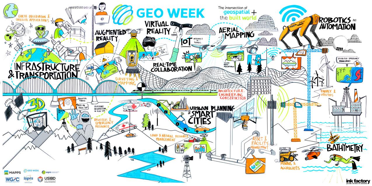
Geo Week was originally created as a response to the changing needs of built world and geospatial professionals, a change that felt increasingly necessary as multiple sectors continued to come closer and closer together through emerging technologies. It’s certainly an ambitious endeavor to bring together a vast array of industries, job titles, tools, and workflows under one roof, but the energy that exudes from the annual three-day event continues to confirm that these technologies are extremely complementary and are helping to change the world.
This year’s event once again put that energy and excitement on full display. In 2024, we saw record attendance and the largest exhibit floor in Geo Week's history, with over 2,950 attendees and 200 exhibitors. The event was home to fascinating conversations – both between attendees as well as during panel discussions and presentations throughout the conference program – that showed off how tools like scanning technologies, AI, and more are shaping the ways we do business and helping to make the world a better place. In fact, the two keynotes for the event touched on these areas, with Claire Rutkowski
(POWER Engineers) leading a discussion on how technology is changing the infrastructure sector, while Dr. Este Geragthy (Esri) and Ronda Schrenk (US Geospatial Intelligence Foundation) showcased the ways geospatial tools are changing the world for the better.
It’s nearly impossible to truly capture the energy that was felt throughout Geo Week 2024, with exhilarating conversations about the future, as well as the present, taking place all throughout a packed exhibit hall floor. At the end of the day, it’s this coming together of professionals and industries which drives Geo Week and harkens back to that original goal.
The journey continues - we’re already looking forward to our 2025 event. In the meantime, we are thrilled to have you participate in this journey with us, and we are so excited to see everyone come together once again next year!
 Lee Corkhill Group Event Director
 Carla Lauter Conference Chair

“Convergence is the name of the game in Industry 4.0”
- Claire Rutkowski | POWER Engineers
Geo Week 2024 Post-Show Report 3
INTRODUCTION
SHOW FACTS & FIGURES

A truly staggering wealth of knowledge and experience packed into a concise and accessible location. An incredible source of valuable information and insights into an explosive market and industry.”
- Mike Jones Hyperion Data Solutions


AUTHORITY of attendees have purchasing authority 84% plan to make a purchase as a result of attending
SHOW FACTS & FIGURES - ATTENDEES

96% met their objectives for attending
97% were satisfied with the event overall
The industry is moving very fast, and we need to be constantly updating tools, from hardware and especially software.”
- Carlos Guevara DYMAXION
TOP REASONS TO ATTEND
To see new products / innovations
To network with other industry professionals
To gain new insights at the conference
Geo Week 2024 Post-Show Report 5
SATISFACTION PURCHASING
83%
INDUSTRY SECTOR 8% Energy & Utilities 5% Infrastructure & Transportation 14% Other Asset & Facility Management Land & Natural Resource Management Mining & Aggregates Urban Planning & Smart Cities Disaster & Emergency Management
Architecture, Engineering & Construction 47% Surveying & Mapping Industries Served: Land & Natural Resource Management and Climate Resilience
Earth Observation & Satellites
20%
6%
SHOW FACTS & FIGURES - ATTENDEES
Aerial Mapping
Production Manager
Aerospace Engineer
Airborne Sensor Operator
Architect
Bathymetrist
BIM/VDC Manager
Civil Engineer
Data Scientist
Data Processing Manager
Director of Operations and Technology
Director of Lidar & Remote Sensing
Director of Software Engineering
Field Applications Specialist
Flight Acquisition Manager
Field Survey Manager
Geographer
Geomatics Analyst
Geoscientist
Geospatial Program Director
GIS/Remote Sensing Analyst
GIS/UAS Specialist
Hardware Support Engineer
Hydrographer | Marine
Data Science
Innovations Manager
Inspector, Surveyor, Engineer
Lidar & Photogrammetry Technician
Mapping Scientist
Mechanical Engineer
Mobile Lidar Program Lead
Operations Manager
Photogrammetrist

Product Manager
Program Director
Project Civil Technologist
Project Surveyor
R&D Scientist
VP - Bathy LiDAR Sensors ATTENDEE
IT Director
Reality Capture Solutions Manager
Reality Capture Specialist
Remote Sensing Data Scientist
Senior Solution Engineer
Solutions Architect
Spatial Data Analyst
Subsurface Utility Engineering Manager
Surveyor and Mapper
UAS Remote Sensing
Professional
Virtual Design & Construction Manager
VP & Chief Scientist
VP Imaging Systems
VP Innovation
VP, Digital Engineering Solutions
VP Operations

Geo Week 2024 Post-Show Report 6 41% 30% 18% 11% 1-49 50-499 500-4999 5000+
SIZE SAMPLE JOB TITLES CLICK HERE TO SEE THE FULL LIST OF ATTENDING COMPANIES 11% 41% 30% 18%
COMPANY


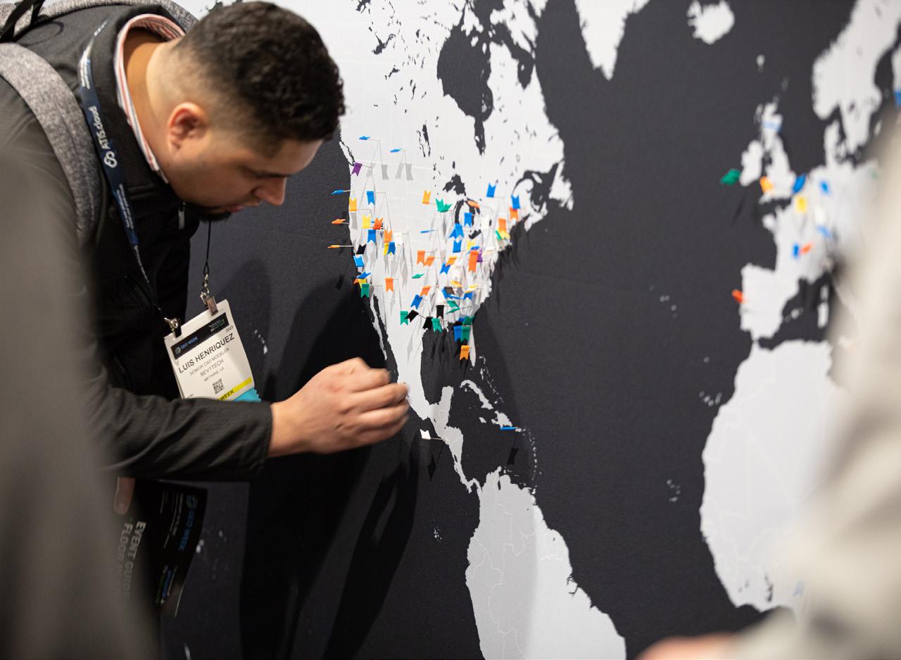
2,950+ professionals attended Geo Week from 50 U.S. states and 45 countries
Click here to see the full list of attending companies.
Geo Week 2024 Post-Show Report 7
FIGURES -
SHOW FACTS &
ATTENDEES
200 COMPANIES EXHIBITED AT GEO WEEK
EXHIBITOR SATISFACTION & SALES
95% were satisfied with the quality of attendees at their booth
91% were satisfied with the quantity of attendees at their booth
94% said that Geo Week is important to their business
93% of exhibitors expect to generate sales within 12 months as a result of exhibiting
Geo Week is a premier conference that brings together industry experts, offering attendees the opportunity to experience cutting-edge technology firsthand, exchange valuable insights, and showcase best practices”
- Josh Landry NV5
89% of exhibitors were satisfied with exhibiting at Geo Week
89% of companies said they were able to generate new sales leads
88% of exhibitors stated they were likely to return next year


Geo Week 2024 Post-Show Report 8
- EXHIBITORS
SHOW FACTS & FIGURES
CLICK HERE
INTERESTED IN EXHIBITING?


Geo Week 2024 Post-Show Report 9 2024 EXHIBITORS BayesMap Solutions LLC GEOSPATIAL A F F O R D A B L E A C C U R A C Y TOPODRONE somag AG JENA Fast, Efficient 3D Imaging
EXHIBITOR LIST
2024 EXHIBITORS
3D TARGET SRL
3DEO, Inc.
3Dsurvey
A2 Surfaces
Advanced Navigation
Aero - Graphics Inc.
Aerometrex
AirWorks
Allen & Company, Inc.
AmericaView
Applied Imagery
Esri
Exail
Exyn Technologies Inc.
FARO Technologies, Inc.
Feima Robotics Technology Co., ltd.
Firmatek
FJ DYNAMICS INTERNATIONAL LIMITED
FLAI D.O.O.
Flogistix, LP
Flyability
Foursight Solutions
Lead’Air
Leica Geosystems
LIDAR Magazine (Spatial Media)
Lidaretto
LidarSwiss Solutions GmbH
LIDARUSA
LiteWave Technologies
LP360
Lumibird Inc
M.J. Engineering and Land Surveying, P.C.
Mach9
SIMACTIVE INC.
Site Scout 360
Skand
Skyfront Corp.
Skyline Software Systems, Inc.
SkyWatch
Smart Delta Systems & Solutions
Solv3D Inc.
SOMAG AG JENA
Stitch3D
Stonex USA

ArenaCAD USA
ASPRS
ATIS.cloud
Autodesk
AutoMap
Avenza Systems Inc.
BAAM.Tech
Bad Elf
Balko Tech
BayesMap Solutions
Benaco
Blue Marble Geographics
Bluesky Geospatia
Candrone
Carahsoft
Cardinal Systems LLC
Centillion Solutions LLC
CHC Navigation
Cintoo US Inc.
ClearEdge3D
CompassData Inc.
Conworth
Cupix
DAT/EM Systems International
Datum Tech Solutions
Dell Technologies
Dewberry
DIELMO 3D S.L.
Digital Construction Week
DJI Enterprise
Dynamic Aviation
EAGLEVIEW
Egnyte
Elaine Ball Ltd.
Elysium Inc.
Emesent
Eos Positioning Systems
EPS Group, Inc.
Epson America, Inc
Frontier Precision
Fugro
Fulcrum
GDU-TECH CO. LTD
GEO Business
Geo Solutions USA Corp.
Geo Week Sales Booth
GeoCal
GeoCue Group
Geometrics
Geo-Plus
Geospatial World
Geosun Navigation Technology
Get Kids Into Survey
GEXCEL
GIS Surveyors, Inc.
gNext
GPI Geospatial, Inc.
GreenValley International
GSSI
Guideline Geo - ABEM | MALÅ
Harris Aerial
Hexagon
HTS Advanced Solutions LLC
IGI mbH
IMAGINiT Technologies
Imajing s.a.s.
Impulseradar
Inertial Labs, Inc.
Informed Infrastructure
Inside Unmanned Systems
ISPRS
ITRES Research Limited
Jakarto
KELYN Technologies
Keystone Aerial Surveys
Kompass Business Management System (BMS)
Kucera International Inc.
Laserscanning Europe GmbH
Managed Business Solutions (MBS)
Manifold Tech Limited
MAPPS
Maptek
Matterport Inc.
Merrick & Company
MicroStrain by HBK
Mosaic 360 Camera Systems
Multicopter Warehouse
National Geospatial Intelligence Agency (NGA)
NavVis US, Inc.
NV5 Geospatial
Oregon State University
Oxford Technical Solutions (OxTS)
Pavemetrics Systems Inc.
PelicanCorp
Phase One
Phoenix LiDAR Systems
Pix4D SA
PLW Modelworks
PMC
PointCab GmbH
Pointerra
PointMan by ProStar
Prevu3D
Quantum-Systems GmbH
RDO Equipment Company
Reality Capture Network
Remote GeoSystems
Revolution Flight
RIEGL USA Inc.
RPMC Lasers
SAM Companies
Sanborn Map Company
SBG SYSTEMS
Screening Eagle Technologies
Seaside Engineering and Surveying, LLC
Seiler Instrument Geospatial
SHAREUAV
Surphaser/Basis Software, Inc.
SURVAIR
TeeLabs
Teledyne Geospatial
TerraGo Technologies
Terrasolid Ltd
Tersus GNSS, Inc.
THE GEOHOLICS PODCAST
T-Kartor USA
TOKNAV
TopoDOT
TOPODRONE SA
TOPOFLIGHT AG
Topotrade
Trimble
Trimble Applanix
Tuck Mapping Solutions, Inc.
Underwater Intervention
US Census Bureau
U.S. Geological Survey
USIBD
VanGuard Pipeline Inspection LLC
Vectornav Technologies
Vectors Inc.
Vercator
VeriDaaS Corporation
Vexcel Imaging
vGIS Inc.
Virtual Surveyor nv
VRMesh
WGIC
Wingtra
WISPR Systems
Woolpert
XenomatiX
XGRIDS
xyHt Magazine
YellowScan
Z+F USA, Inc.

Geo Week 2024 Post-Show Report 10



EVENT PARTNERS
EVENT PARTNERS
About our Event Partners
From collaborating on key conference content and providing exclusive training, to showcasing the technical capabilities of our vendors, these partnerships strengthen and advance the geospatial and built world communities by providing additional expertise and industry advocacy to the event.
Founded in 1934 the American Society for Photogrammetry and Remote Sensing (ASPRS) is a scientific association serving professional members around the world. Its mission is to advance knowledge and improve understanding of mapping sciences to promote the responsible applications of photogrammetry, remote sensing, geographic information systems (GIS) and supporting technologies.



The International Society for Photogrammetry and Remote Sensing is a non-governmental organization devoted to the development of international cooperation for the advancement of photogrammetry and remote sensing and their applications. The Society’s scientific interests include photogrammetry, remote sensing, spatial information systems and related disciplines, as well as applications in cartography, geodesy, surveying, natural, Earth and engineering sciences, and environmental monitoring and protection.
MAPPS is the preeminent national association of firms involved in many aspects and benefits of the geospatial field in the United States. MAPPS is dedicated to all the business aspects, networking, technical and professional education, geospatial policy, and legislation that private practitioners and the mapping community will always need.


The U.S. Institute of Building Documentation (USIBD) is the first U.S. membership organization to focus specifically on supporting the Building Documentation Industry. The USIBD is committed to being the leading resource for all stakeholder groups with an interest in Building Documentation. As such, the USIBD strives to provide its members with a network of support and information, embracing industry professionals throughout the U.S. and Internationally.

The World Geospatial Industry Council (WGIC) is an association of companies representing the entire ecosystem of geospatial industry. WGIC endeavors to enhance the role of the geospatial industry and strengthen its contribution in global economy and society, facilitate exchange of knowledge within the geospatial industry and co-creation of larger business opportunities for the geospatial industry, represent business interest, and share perspectives of the geospatial industry and undertake policy advocacy and dialogue with public authorities, multilateral agencies and other relevant bodies.
Geo Week 2024 Post-Show Report 12

GEO WEEK NEWS COVERAGE

Geo Week once again provided a space to hear meaningful insights from industry thought leaders, to learn from the most innovative professionals in the space, and to see firsthand the newest and most exciting advancements in both hardware and software.”
- Matt Collins Geo Week News
SHOW RECAP
Day 1
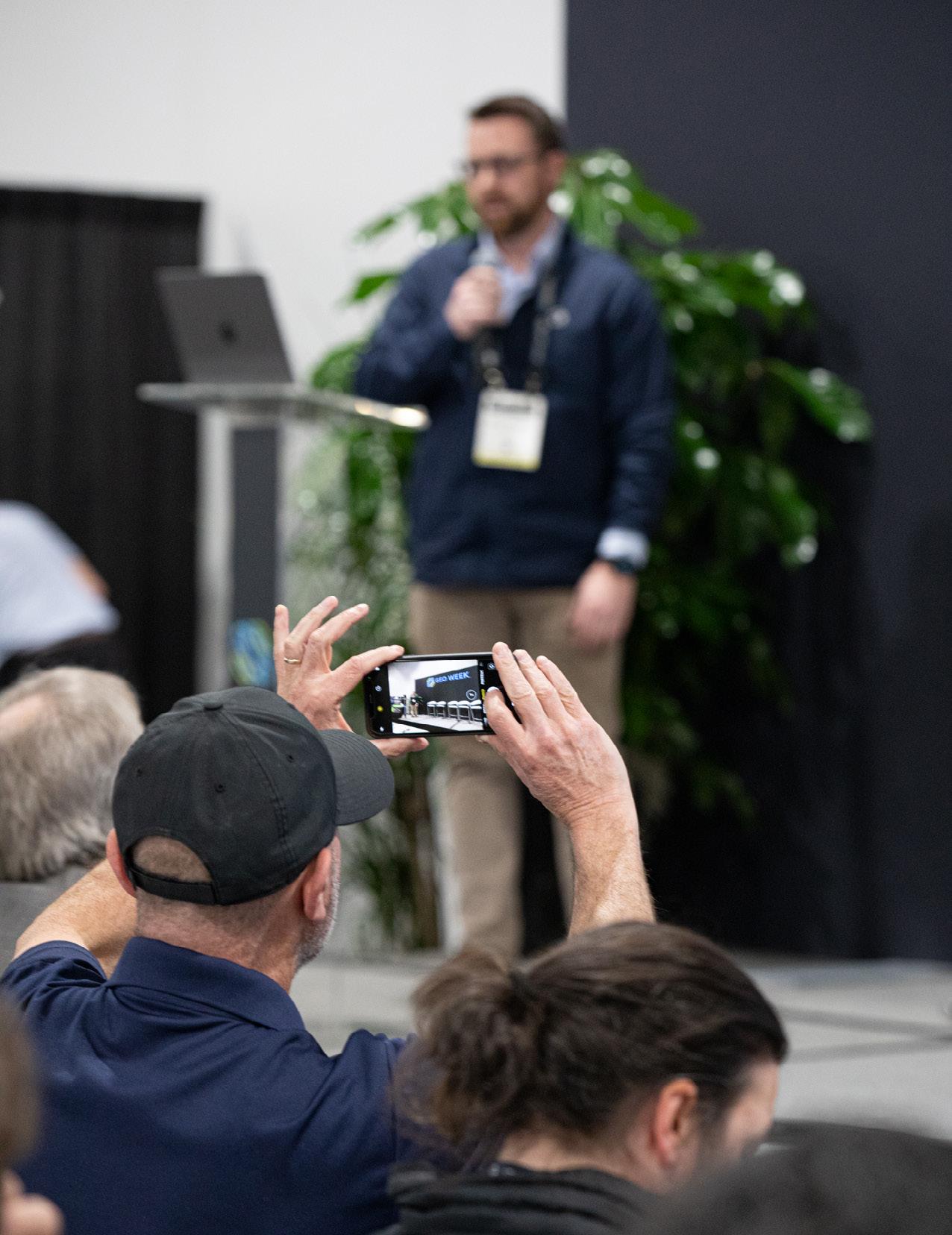
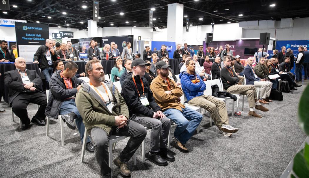
With over 2,950 attendees coming together for fascinating and informative sessions as well as on the packed exhibit hall floor, the excitement about where the industry is today – and where it stands to go in coming years – was palpable.
As has become tradition at Geo Week, the first day kicked off with Product Previews, giving 18 companies a chance to share their latest products and innovations in 15-minute presentations. This year’s version, held simultaneously across two rooms, featured presentations from the following companies: Stitch3D, GeoCue, Pix4D, WISPR Systems, Microdrones, Phase One, RIEGL, Leica Geosystems, Trimble, Teledyne Geospatial, Flai, Blue Marble Geographics, Cintoo, 3Dsurvey, DJI, TopoDOT, Hexagon, and Vexcel Imaging.
Shortly after the conclusion of these product preview presentations, the conference came together for the show’s opening keynote, entitled, The Bright Future Ahead: Navigating AEC, 3D, and Geospatial Innovation and Change. This discussion, led by Claire Rutkowski of POWER Engineers alongside Andrea Springer of CDM Smith and Ben Stocker of Skender, touched on the exciting climate in the infrastructure and AEC space, looking at new technologies emerging in the industry and what it means for workflows moving forward.
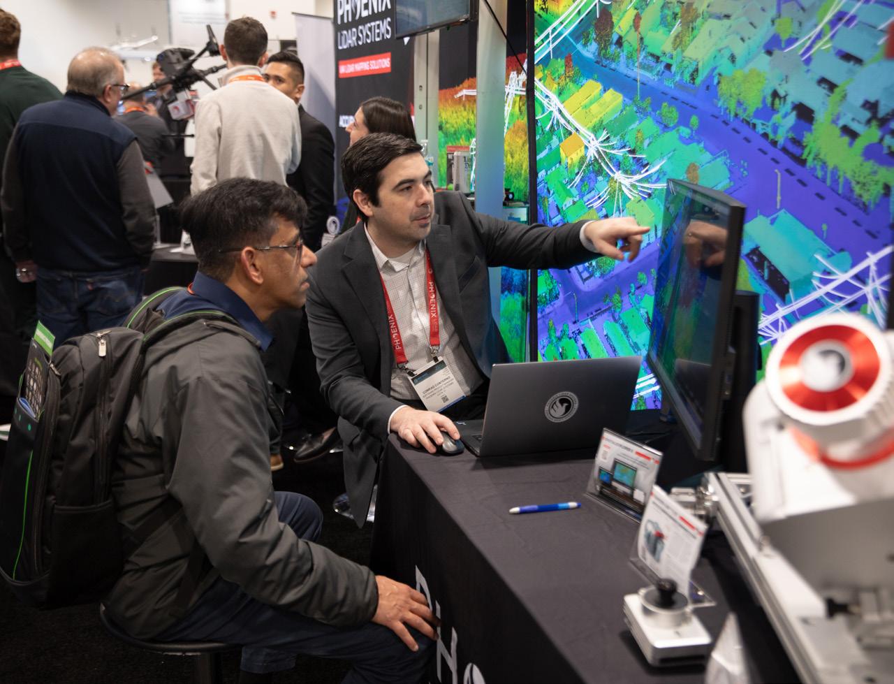
This keynote led to the opening of the doors to the exhibit show floor. Attendees flooded into the room to check out booths of 200 of the top companies and organizations in the industry. The floor featured the latest in both hardware and software, showing off state-of-the-art UAV, lidar sensors, data processing software, and more, all while giving end users the opportunity to speak face-to-face with these companies. These attendees also had a chance to check out the Exhibit Hall Theater, which today featured sessions focused on UAV surveying, managing large data files, and combining reality capture with AI.
In addition to the content on the Exhibit Hall Theater stage, there were also three more sessions on the conference program. One focused on the growing trends around the democratization of survey technologies, covering both the good and the bad in that realm. There was also a session looking at the future workflows in the construction industry and a session examining the geospatial industry’s place in developing and maintaining the “metaverse.”
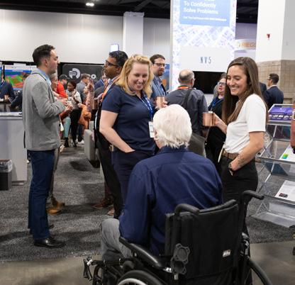
Finally, the first day concluded with attendees coming together in the exhibit hall for a “Welcome Tailgate,” allowing everyone to celebrate another opportunity to connect in person. All in all, it was a pitch-perfect start to this year’s Geo Week, with plenty of energy to carry into what was an action-packed Day Two.


Geo Week 2024 Post-Show Report 14 GEO WEEK NEWS COVERAGE


Day 2

Day two was an action-packed day in Denver, Colorado, with a fascinating keynote, a jam-packed schedule on the conference program, and another day on the exhibit hall floor during which the energy was palpable.
The aforementioned keynote kicked off the day in a packed auditorium on hand to watch presentations from Esri’s Este Geraghty and the USGIF’s Ronda Schrenk. The overall keynote focused on all of the ways that geospatial technology is being used to make our world a better place, with examples of usage in the healthcare industry, the fight against climate change, and more. After each speaker gave their own individual presentation, the two came back on stage for a discussion moderated by myself in which they talked about how their individual spaces can learn from the other’s, what the future of the space will look like, and more.
After the keynote, it was time to open the doors to the exhibit hall and kick off the rest of the conference program. The latter featured a variety of content touching on everything from the importance of bathymetric data along coastlines, how AI is being used in geospatial work, the nuts and bolts in the surveying industry, and so much more. At the Exhibit Hall Theater, sessions looked at NeRFs, how reality capture is being used for accessibility, and the importance of diversity in the future workforce.
Day two also featured a handful of awards being handed out, with the winners of the Lidar Leader and Young Geospatial Professional awards being handed out.
You can also check out part two of our Product Preview coverage, the presentations for which were held on day one.
We’d also be remiss to not mention that Monday was the inaugural World Lidar Day, to be held every February 12, for which Geo Week is a founding member. This new event was spearheaded by the United States Geological Survey with the aim of raising awareness about the importance of lidar data. Learn more at lidarday.com.
GEO WEEK NEWS COVERAGE
Day 3
And with that, Geo Week 2024 is in the books. The three days in Denver, Colorado were filled with knowledge, networking, and inspiration to bring back home for what lies ahead in this crucial and fast-growing industry. And while Tuesday might have been the end, it was just as jam-packed with energy and informative sessions as every other day of the event.
Day three kicked off with a plenary given by the United States Geological Survey, which gave an update on their lidar mapping and hydrography initiatives, including their 3DEP program. The hour-long talk featured Dr. Jason Stoker, Cindy Thatcher, and Brian Hadley, all from the USGS. A day after the inaugural World Lidar Day, the group talked about the importance of lidar data, and put particular focus on the importance of hydrographic surveying along coastlines and the country’s rivers.
Over in the exhibit hall, the floor was once again packed with top companies and eager end users all coming together to network for one final day. On the Exhibit Hall Theater stage, attendees saw some of the most unique case studies from the geospatial world in the annual Unique Case Studies session. Immediately following that, the USIBD shared the results of mobile scanning tests from various industry stalwarts, with those scans completed earlier in the week. Finally, the Overture Maps Foundation spoke about the importance of this data remaining open
On the conference program, attendees sat in on sessions covering the latest advances in aerial mapping techniques, how AI is being used in BIM, utility inspection, and more.
This event provides a great base for the industry to continue to grow over the next year, and we’re so excited to see what new developments and innovations are on display at Geo Week 2025, which will be held February 10-12. Save the date!
Meet the entire market - under one roof.”
- Luke Bingham | Datasight
Geo Week 2024 Post-Show Report 15


Geo Week Highlights: Product Previews
Attendees at Geo Week 2024 had the opportunity to see some of the newest and most exciting products hitting the market in the industry. Spread across two rooms, 18 different companies spent 15 minutes each detailing the new innovations, which are summarized below by Content Specialist Matt Collins.
HARDWARE
During the Product Preview session, GeoCue’s Director Sales Manager Chad Dillard highlighted upgrades to his company’s TrueView line of products. He explained that his company responded to market demand for improved image quality by upgrading its compact TrueView 515 3D LiDAR/Camera system with 26 MP cameras for better image definition. Similarly, GeoCue has made updates to another of its 3D imaging systems, the TrueView 535. The system now comes a third lidar beam for improved capture detail, two 26 MP oblique cameras, and a third 26 MP nadir camera for better use in photogrammetry. Dillard also discussed improvements to GeoCue’s LP360 software for drone and geospatial applications.
Chuck Snow of Microdrones showcased his company’s compact, survey-grade, lidar drone called the EasyOne. Containing a number of innovative features, including a “Real Time Terrain Follow” option for enhanced accuracy and access to the company’s LP360 software for clear, accurate lidar data, the drone is ideal for a range of use cases. What’s more, Snow explained, purchasers of the system get the drone, payload, controller, and battery all in one compact 35lb. box.
Boasting multiple payload options, WISPR Systems’ SkyScout drone is ideal for inspection work, public safety, and other applications. As WISPR’s John McArthur explained, the SkyScout is a small form factor drone that weighs only 4.7lbs, making it easy to transport, and it can fly from between 26 and 30 minutes. SkyScout operators can also benefit from the WISPR Ground Control system, which offers advanced navigation tools, real-time data analytics, and user-friendly interfaces.
A world leader in the manufacture of imaging products, Phase One has been operating in the geospatial space for some ten years. During the Product Preview session, the company’s Steve Cooper and Mohsen Miri described Phase One’s broad product portfolio, which includes cameras used for measurement, infrastructure, inspections, mapping, and more. The company leaders emphasized the ways their products integrate with other systems, pointing to the capabilities of its iX software suite and its ability to adapt payloads for inspections and surveying to use with UAVs and other vehicles.

Geo Week 2024 Post-Show Report 16 GEO WEEK NEWS COVERAGE

For their presentation, Lecia Geosystems, part of Hexagon, made dual presentations with Layton Hobbs and Anders Ekeland splitting the time between the two. Hobbs took the stage first and focused on Leica’s aerial imagery capabilities, and more specifically the Country Mapper. Released last summer, this is the first time the aerial imagery tool has been featured at Geo Week, and it includes both imagery and lidar sensors within the same unit to allow the data collection in one pass-through. After that, Ekeland spoke about the company’s bathymetric scanning tools, specifically the Chiroptera-5 and the Hawkeye-5, their newest scanners on the market.
GEO WEEK NEWS COVERAGE

RIEGL’s Michael Sitar Product Preview presentation reviewed his company’s long history of innovation. The company’s high precision, 3D laser scanning and measurement systems, widearea mapping technologies, scan pattern systems, and more have enabled clients in many fields to complete operations with greater accuracy and efficiency. Building on this history, the company recently introduced new innovations in aircraft-mounted pods, topobathy, and waveform processing.
Skyler Neumeyer, a Mobile Mapping Applications Engineer at Trimble, discussed updates to his company’s mobile mapping systems and software offerings. The next generation MX90 mobile mapping system, he said, features a Ladybug 6 camera and updated control units and POD systems. On the software side, Trimble has made improvements to its MX Data Workflow, TMI Field Software, and Trimble Business Center.
For Vexcel Imaging’s presentation, Jerry Skaw and Rob Carroll talked about the latest innovations for the company. They started by discussing the planned expansion of their aerial imagery content program, which is already the largest in the United States. They plan to expand their coverage in 2024, with over 99 percent of the nation’s population being covered by the imagery, which comes in up to 7.5 cm resolution. Also discussed was their various camera systems, including the UltraCam Merlin 4.1 and the UltraCam Merlin 4.1, their first combo systems capturing nadir, oblique, and lidar. Finally, they noted their new 3D Cities offering, which uses their aerial imagery while leveraging 3D streaming capabilities from Cesium to provide accurate 3D representations of major cities.
My-Linh Truong took the stage for RIEGL’s second presentation of the day, with hers focusing on the UAV mapping systems offered by the company. She highlighted the different lidar scanners designed for UAV integration before moving into their newest product, the RIEGL RiLOC. Standing for RIEGL’s Location/ Orienation Component, RiLOC is built into RIEGL’s aerial mapping platforms with no modification needed by the end user. RiLOC is a MEMS-based IMU unit with built-in GNSS and appropriate software integrations.
Teledyne Geospatial was represented by Malek Singer in their presentation. A product manager with the company, Singer focused on Teledyne’s marine data capture solutions, including lidar bathymetry, sonar, and accompanying software. Much of the
focus, however, was on the hardware side, specifically the CZMIL Supernova. This topobathymetric mapping system is equipped with the most powerful green laser on the market, according to Teledyne, and can capture data in waters with varying levels of turbidity. Singer also highlighted the company’s CARIS software, which processes the data collected by these scanners and leverages AI for classification.
SOFTWARE
In their second presentation of the day, GeoCue’s Darrick Wagg spoke to the software side of the company’s work. Over the course of his 15 minutes, Wagg first gave an outline of GeoCue’s software offerings, mainly focusing on LP360, which is used to easily extract key information and generate deliverables from lidar data. He also talked about some of the new offerings that can be expected later this month, starting with simply a focus on greater efficiency for workflows. More specifically, Wagg noted that LP360 will be adding more generic hardware integration to ensure work can be done with most UAVs, as well as affine transform raster and tree segmentation capabilities.
Product manager Marko Mesaric made 3Dsurvey’s presentation, speaking about all of the capabilities of their photogrammetry processing software. Mesaric made sure to note from the jump that they are not coming in as outsiders, but rather as former surveyors who know firsthand what the problems for the industry’s professionals really are. His presentation included a rundown of many of 3Dsurvey’s features, including their volume calculation capabilities, profile lines and cross sections, special X-Ray capabilities to identify borders of a building, and videogrammetry tools to take frames from short videos and turn those into photogrammetric models. At the end, he also introduced 3Dsurvey Cloud, which allows for easy sharing and collaboration over the cloud.
Kyle Miller presented on two new offerings from DJI Enterprise, speaking about DJI Modify and DJI TerraAPI. The former was released earlier this year and is the company’s first offering for intelligent 3D model editing. Miller showed off how the software is capable of cleaning up photogrammetric models, filling in holes and removing what Miller refers to as “floaters” that often result from reflective surfaces. He also announced an upcoming cloud sharing capability that can be expected in Q2 of this year. Miller also introduced the room to DJI TerraAPI, which is still in beta and is a set of API solutions that deploys the Terra engine on a cloud-based server.
Stitch3D founder and CEO Clark Yuan explained his company’s Rapid Airfield Damage Assessment system (RADAS). Developed through his firm’s work with military clients, RADAS, he said, addresses the problem of “upstream data access” by using lidar to capture 3D data, which can be quickly accessed and shared by professionals across many fields. Stich3D’s approach, Yuan asserted, can perform tasks that once took three to ten hours in just 90 minutes.
Geo Week 2024 Post-Show Report 17
During the Product Preview session, representatives from Pix4D showcased their company’s PIX4Dcatch RTK system. Offering 3D scanning and an augmented reality platform for mobile devices, the RTK can provide 3D scanning with photogrammetry for construction projects, help public safety professionals capture fast, accurate data for investigations, and more. Pix4D also highlighted their company’s extensive training, onboarding, and consulting services for RTK customers.
Flai presented its systems for processing point clouds with artificial intelligence (AI). Using the company’s web application and its command line interface, professionals engaged in aerial mapping, mobile mapping, and forestry projects can improve the quality of their data while saving time and money. The company boasted its 90%-plus accuracy rates for a variety of mapping projects, and it touted its “flexible deployment” options for customers, including self-hosted and “as a service” options.
Speaking for TopoDOT was Jennifer Triana, a lidar specialist and business development director with the company. Triana spoke about the point cloud processing capabilities of the company’s software, first introducing the base capabilities to those who may be unfamiliar and then getting into some of the newest additions for more experienced users. Much of the presentation focused on TopoDOT’s feature extraction capabilities, harnessing the power of artificial intelligence to make that process as simple as possible. In terms of new additions, those capabilities are being added to sidewalk feature extraction as well, enabling even more inspection and automotive workflows than ever before.

Making the first presentation in their room, Jenna Nelson spoke about the Blue Marble Geographic’s Global Mapper offering. The lidar and photogrammetry data processing software includes standard and pro offerings, with new features having been added last year and more being added in the coming weeks. Among the features highlighted in Nelson’s presentation were new GNSS support, dynamic hill shading, and 3D features. They also looked ahead to some new features being added to the program later this month, including Pixels-to-Points in Pro, which takes in photos with overlapping coverage and generates a 3D point cloud output using photogrammetry methods of structure from motion (SFM).
Cintoo CEO Dominique Poliquen talked about their flagship product, Cintoo Cloud. The software specializes in creating digital twins to bridge the gap between physical and virtual spaces. He discussed their ability to turn point clouds into meshes, and doing so with file sizes 10-20 times smaller. Poliquen also discussed the idea of the “industrial metaverse,” something that has been growing and requires the kind of software like Cintoo provides. In terms of features highlighted in the presentation, he pointed to some new additions like automatic face blurring, new import and export capabilities, and a new teleportation capability to move through a digital site with the click of a button, just as one would in a video game.
Leica Geosystems’ Mike Harvey discussed two of his company’s offerings, the Reality Cloud Studio and its BLK260 scanning technology. Reality Cloud Studio, he said, allows users to upload data straight to the Cloud, enabling instant collaboration, reducing communication-related delays, cutting down on site visits and inperson meetings, and promoting teamwork between production equipment suppliers and others. The BLK260 scanners are ideal for indoor applications and can be used with the BLK Live mobile app to create an “immersive experience” for users.
Showcased during the Product Preview sessions, Teledyne Geospatial’s Galaxy Onboard is a real-time processing and quality control solution designed for airborne lidar applications. Galaxy Onboard can help increase ROI and address issues around costly re-flights and damage detection through its use of a highperformance onboard computer, wireless display for operators and pilots, user-focused flight management system, fast, realtime processing engine, and other features.
Ben Messer took the Product Preview stage for Trimble, speaking about how Trimble Business Center (TBC) can be used for photogrammetry workflows. He noted the impressive progress made with TBC since it’s launch about a decade ago, specifically highlighting the improved ability for integration. There are now more UAVs than ever which can be brought into TBC, and even if your UAV of choice is not specifically supported in the Trimble library it can still be imported in with a simple, three-step process. Messer also noted the ability for users to bring laser scanning point cloud data into TBC along with imagery to help with comparisons and other workflows.

Geo Week 2024 Post-Show Report 18
WEEK NEWS
GEO
COVERAGE

PRESS COVERAGE & SOCIAL MEDIA

Visiting Geo Week is a great way to network with like-minded professionals and you will leave being fully informed of all there is to know of the latest happenings in our industry.”
- John Oberle Huckabee and Associates

SELECT PRESS COVERAGE & SOCIAL MEDIA

REFLECTIONS ON GEO WEEK 2024 EVEN BIGGER AND BRIGHTER


ONE WORD & 5 KEY DEVELOPMENTS FROM GEO WEEK 2024

REFLECTIONS ON GEO WEEK 2024

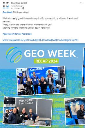
GEO WEEK 2024: WE WENT TO GEO WEEK TO SEE WHAT ALL THE FUTURE PNT TECH LOOKS LIKE!


Geo Week 2024 Post-Show Report 20
PRESS SOCIAL
MEDIA

CONFERENCE INFORMATION

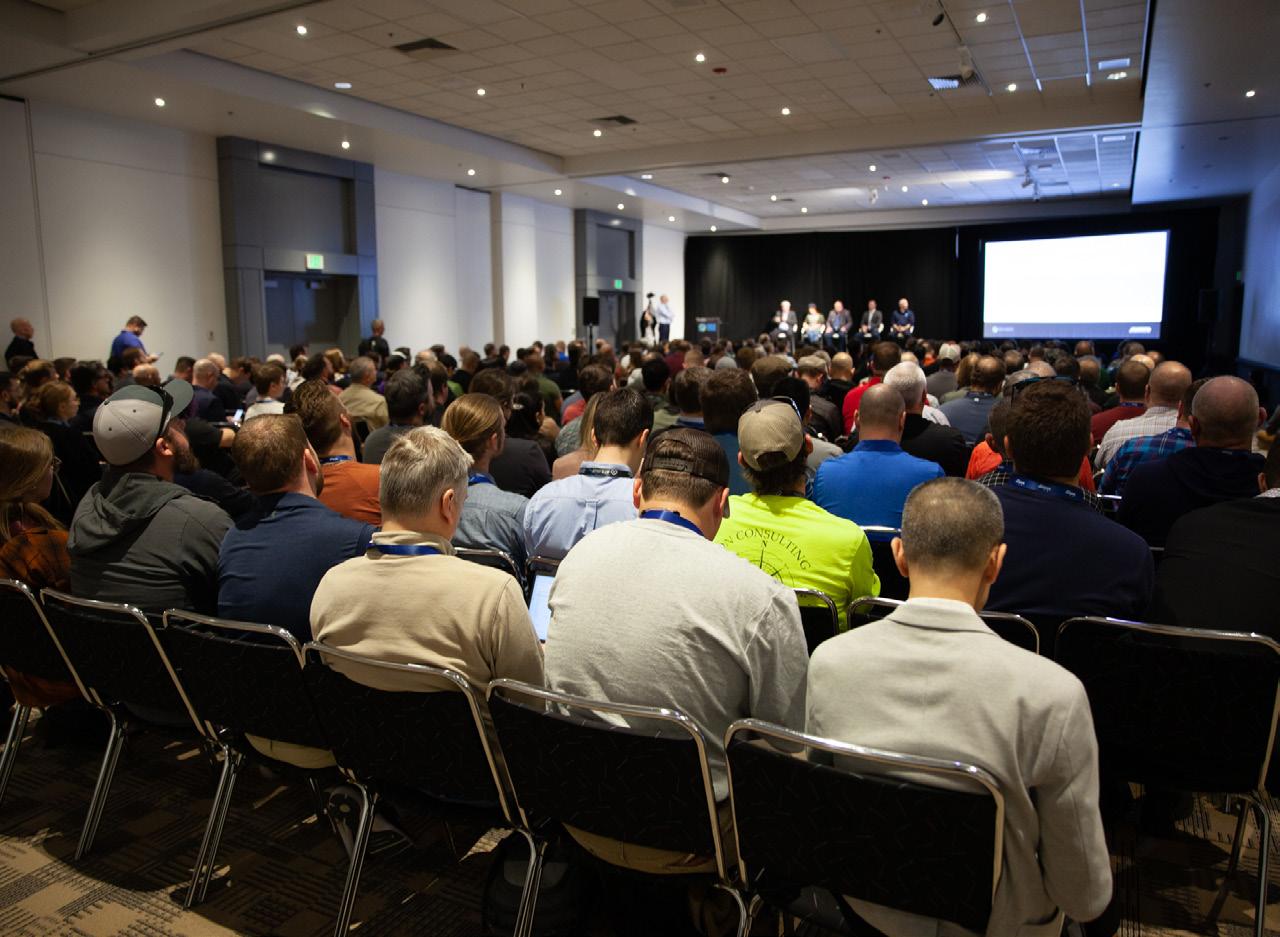
This conference is very informative for anyone working in the geospatial field. More specifically, it is very useful for someone who would like to keep up with industry trends and explore different technologies and processes.”
 - Tracy Ray Surdex Corporation
HERE to view the 2024 Conference Schedule
HERE to view All Speakers
CLICK
CLICK
KEYNOTES


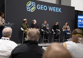
Emerging technologies, including generative AI, large language models, augmented reality, and digital twins are already impacting day-to-day work in surveying, AEC, and myriad other industries. While some of those technologies are still in their early stages of adoption, what’s coming next? What will our workflows look like in 2030? How will the promises of these emerging technologies be realized? How can today’s workforce be prepared for the seismic shifts ahead of it?
This visionary panel shared their predictions, cautions, and enthusiasm about not only what’s next, but also what follows after that. The inspiring talk assured us that there has never been a better time to be in infrastructure!
Geo Week 2024 Post-Show Report 22
CLAIRE RUTKOWSKI POWER Engineers
ANDREA SPRINGER Stantec
BEN STOCKER Skender
View 2024 Videos



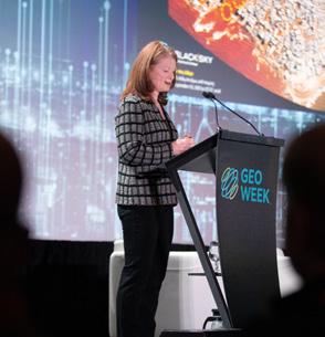
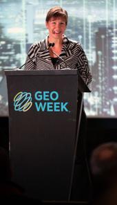

ESTE GERAGHTY
Esri

RONDA SCHRENK
View 2024 Videos
United States Geospatial Intelligence Foundation
The geospatial industry has always sought a better understanding of the world around us. Through the development of technologies and techniques including lidar, GIS, bathymetry, photogrammetry, AI and beyond, geospatial knowledge is being applied across disciplines to help address many critical problems. As the impacts of climate change are already being felt across the globe, it is clear that one of humanity’s greatest challenges still lies ahead. In this keynote, technology thought leaders shared their inspiring visions of how geospatial technology is already being used to make a difference in addressing issues of sustainability, disaster response, public health and social justice, and discussed how the geospatial community can get involved.
Geo Week 2024 Post-Show Report 23
KEYNOTES
CONFERENCE




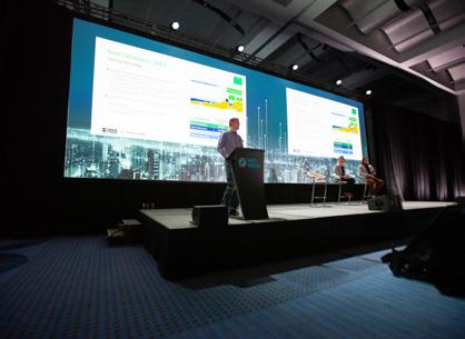
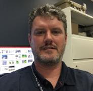

 BRIAN HADLEY USGS DR. JASON STOKER USGS CINDY THATCHER USGS
The plenary session will offer an exclusive update on the groundbreaking lidar mapping and hydrography initiatives led by the United States Geological Survey (USGS). Attendees will gain valuable insights into the latest advancements in lidar technology and its pivotal role in topographic mapping and environmental assessments. With an additional focus on hydrography, this session will highlight the USGS’s efforts in charting terrestrial and water features, including rivers, lakes, and coastal zones, and how this data aids in better understanding environmental changes and coastal resilience. Join us to discover how these cutting-edge lidar and hydrographic mapping efforts by the USGS are revolutionizing our understanding of landscapes and water bodies, driving innovative solutions and informing critical decision-making processes.
Geo Week 2024 Post-Show Report 24

SUPPORTING PARTNERS

We share the same goals and challenges. Geo Week is the place that we get together to advance the industry together.”
- Ezra Che Oregon State University
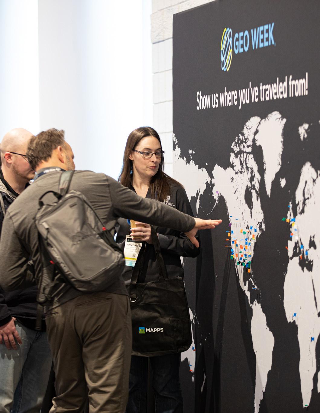
SUPPORTING PARTNERS


Geo Week 2024 Post-Show Report 26
Publications Analysts Associations & User Groups Cooperating Events Portals Special Promotion Support

ONSITE EVENTS & SHOW HIGHLIGHTS

Geo Week furnished an opportunity for different sectors (public, private, and academia) to meet and discuss the present and the future of the Geospatial Industry.”
- Mohamed Mostafa Trimble Applanix
EVENT PREVIEW
Geo Week Awards Celebration
In partnership with LIDAR Magazine, Lidar News, and ASPRS
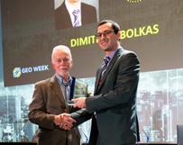
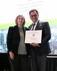
YOUNGER GEOSPATIAL
PROFESSIONAL OF THE YEAR AWARD
Dimitrios Bolkas
Pennsylvania State University

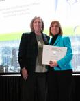
OUTSTANDING PERSONAL
ACHIEVEMENT IN LIDAR
Arttu Soininen Terrasolid
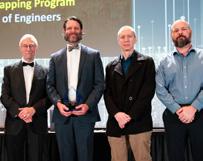
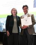
OUTSTANDING TEAM
ACHIEVEMENT IN LIDAR
National Coastal Mapping Program (The U.S. Army Corps of Engineers)

OUTSTANDING TEAM
ACHIEVEMENT IN LIDAR
Intelligent Mapping and Querying of Singapore's Residential Estates (Housing & Development Board)
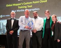
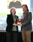
OUTSTANDING INNOVATION
ACHIEVEMENT IN LIDAR
Global Mapper's Custom
Point Cloud Training Tools
Blue Marble Geographics
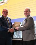
THE USGS/NASA AWARD: 2024 WILLIAM T. PECORA AWARD
2023 ESTE MEMORIAL TEACHING • 2023 FELLOW • 2023
PHOTOGRAMMETRIC FAIRCHILD
2023 LIFETIME ACHIEVEMENT • 2023 OUTSTANDING TECHNICAL ACHIEVEMENT



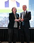


CLICK HERE for the full awards celebration recap


Three Innovative Solutions Selected in “Pitch the Press” at Geo Week 2024
MATT COLLINS
At Geo Week, the premier event that champions the coming together of geospatial technologies and the built world, three innovative solutions were chosen as the winners of the Pitch the Press event. The latest products from OxTS, Emesent, and Stich3D were chosen from 16 presentations that were pitched rapid-fire to a panel of high-profile press representatives at Geo Week. These solutions represent the cutting edge in hardware, components, and services.
In evaluating this year’s competing companies, the Pitch the Press panel of judges focused on contestants who took innovative approaches to solving problems and meeting the needs of the marketplace. For example, the judges praised Stich3D for developing an online platform that could help users view and share data quickly and facilitate effective decisionmaking. Likewise, Emesent’s Hovermap Core was praised by the panel for its adaptability and its potential to bring data capture and mapping capabilities to new and more challenging environments.
The winning submission from OxTS, the RED3000 OEM board, was singled out by the judges for its innovative design and high performance. The judges cited the product’s ability to adapt to different platforms, as well as its low price point – an important consideration as more businesses, large and small, become involved in geospatial operations.
Pitch the Press is a unique opportunity for exhibitors to present their products to a group of editors and reporters looking for the most unique new technologies on display at Geo Week. Eighteen exhibiting companies opted to share their new product or service during the one-hour event.
Geo Week 2024 Post-Show Report 29 PITCH THE PRESS

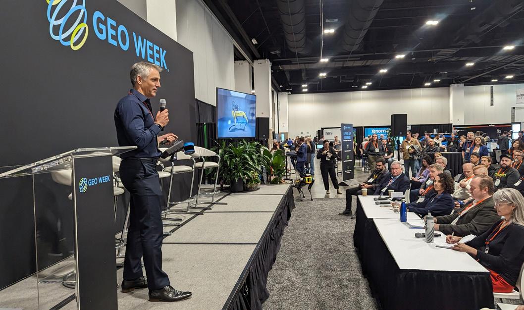
Each exhibitor gave a two-minute brief to members of the media, followed by a one-minute Q&A.
“One of the things that jumped out to the judges this year was how pretty much all of these products are solving real-world problems at more affordable price points,” said Jeremiah Karpowicz, Editorial Director for Geo Week News. “It speaks to the maturation of the industry as a whole and highlights how expectations around value have changed in a way that should further compel adoption.”
Pitch the Press provides attendees a sense of what products
can be further explored on the Geo Week exhibit floor, which contains more than 190 exhibitors from around the world.
Understanding the opportunities that companies like OxTS, Emesent, and Stich3D are creating is just the beginning of where and how their respective industries will advance.
The “Pitch the Press” judging panel included Todd Danielson, Editorial Director, Informed Infrastructure; Myrna James, Contributing Editor, Geospatial World; Jonathan Murphy, Managing Director, GoGeomatics Canada; and Dawn Zoldi, Founder and CEO, P3 Tech Consulting.
PITCH THE PRESS WINNERS



Geo Week 2024 Post-Show Report 30
PITCH THE PRESS


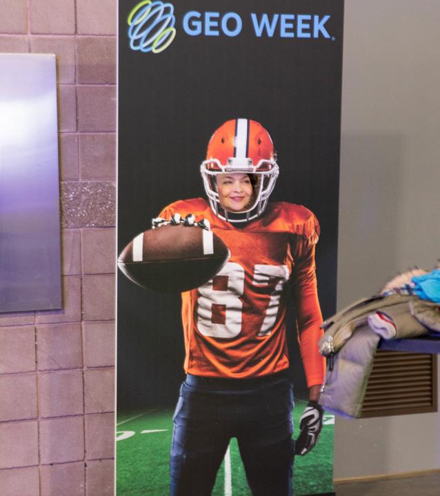


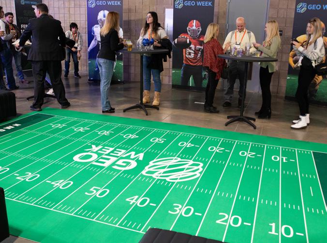
TRIMBLE WELCOME TAILGATE
TERSUS NETWORKING HAPPY HOUR


future directions in all industries represented.”
- Joseph Harwood USACE, JALBTCX






SOCIAL IMPACT

I think Geo Week is very inclusive and is definitely very approachable for someone who is new in 3D and Geospatial Technology, as well as a seasoned veteran who wishes to get new insights into these areas.”
- Dr. Benjamin Lim Singapore Housing & Development Board

SOCIAL IMPACT
Social Responsibility
Geo Week is accountable and committed to contributing to the well-being of communities and society through environmental and social measures.
Geo Week Elevating Sustainability
As a leader in the global expositions and conference industry, Diversified Communications, the organizer of Geo Week, recognizes its responsibility to understand and prioritize actions to reduce the carbon impact of the events it produces. Learn what we are doing at Geo Week, and what you can do to help.
Geo Empower
Geo Week is part of Diversified Communications’ Diversity, Equity
+ Inclusion efforts to drive discussions and actively advance the principles of racial equality, social justice, and inclusion. Through these efforts, we aim to influence and grow an ecosystem for the open exchange of ideas and the ongoing pursuit of best practices. Learn more about Geo Week’s diversity, equity, and inclusion initiative and how we can support your efforts in this area.



Geo Week 2024 Post-Show Report 34
MORE
LEARN
MORE
LEARN


Dr.


Aaron

Dan


Kourosh

Danielle

Dr. Derek Lichti ISPRS

John Russo U.S. Institute of Building Documentation (USIBD)

John
2024 ADVISORY BOARD

Andrew


Thomas

Shawana


Jonathan Murphy GoGeomatics Canada

Claire

Scott Simmons Open Geospatial Consortium (OGC)

Dr. Stewart Walker LIDAR Magazine

Jennifer Wozencraft US Army Corps of Engineers

Amar

Dr.
Robert Hanson MAPPS
Bellissemo GIS Surveyors, Inc.
McCombs ASPRS
Rutkowski POWER Engineers
Haun Turner Staffing Group
Brenner NV5 Geospatial
P. Johnson Global Marketing Insights, Inc.
Ashley Chappell NOAA
Nayegandhi Dewberry Engineers, Inc.
Jason Stoker USGS
Kelly Cone ClearEdge3D
Qassim Abdullah Woolpert, Inc.
Langari Caltrans
O’Connell Skanska
Martin Flood GeoCue Group
Addison World Geospatial Industry Council (WGIC)

geo-week.com The intersection of geospatial the built world Produced by SAVE THE DATE! February 10-12, 2025 DENVER, CO - USA VIEW our webinar gallery CLICK HERE DOWNLOAD our reports CLICK HERE CLICK HERE SUBSCRIBE to Geo Week News


 Lee Corkhill Group Event Director
 Carla Lauter Conference Chair


 - Tracy Ray Surdex Corporation


 BRIAN HADLEY USGS DR. JASON STOKER USGS CINDY THATCHER USGS


