Wanna know how my year has been as an Urban Designer? Well, then I’ll share with you...
By Ahmad Fariz Al Hazmia
recap of projects in my 2022 Urban Design...

Wanna know how my year has been as an Urban Designer? Well, then I’ll share with you...
By Ahmad Fariz Al Hazmirecap of projects in my 2022 Urban Design...
...as a Junior Urban Designer in Indonesia.
• Urban Designer + Planner

• Urban Planning Graduate
• GREENSHIP Associate ahmad.hazzmi@gmail.com +62 8111296962 linkedin.com/in/ahmadhazmi
Let’s connect! instagram.com/hazmifariz/

I graduated with a bachelor’s degree in Urban and Regional Planning from the University of Malaya, Malaysia, in September 2021. With 15 months of professional experience in the urban planning and design consulting industry, I have experienced a wide range of professional projects, from public space to township master planning. I have proven my consistent ability to achieve project objectives and maintain a high standard of deliverables expected for my role.
As a self-driven individual, I also have the ability to work in a collaborative multi-disciplinary environment. I am a passionate urbanist with a great ambition to create sustainable and livable cities built around humanity.
I aspire to pursue a career as an urban designer in which I can leverage my passion, knowledge, and skills to achieve higher quality projects with greater impacts on creating sustainable cities for the communities and the future generations.


Ladi Industrial Area, Location : Ladi Island, Batam Type : Professional Company : Shirvano Consulting Work Type : Collaborative Work
Software Used : AutoCAD, SketchUp, Adobe Illustrator & InDesign
Ladi Industrial Area is strategically located at the center of Riau Archipelago Province, and precisely in the south of Bulan Island. The area is a part of the development program in the Draft Master Plan of Batam-Bintan-Karimun Area Development and is also included in the National Strategic Area.
Ladi Industrial Area has a total area of ± 3000 ha, consisting of 476 ha of land and 2,523 ha of sea. According to the Regional Spatial Plan (RTRW) of Batam City, this area is currently zoned as a Limited Production Forest area which functions as a forest area and is dominated by mangrove forests. Based on the macro, meso, and micro context analysis, Ladi Island is directed to become an industrial area, such as a waste industry and supporting industries. Therefore, Ladi Industrial Island is envisioned to become an Integrated, Green, and Smart Industrial Estate equipped with sustainable waste treatment facilities.
Bulan Island Combol Island Citlim Island
Ladi Island
Batam Island
Main Ladi Island

Bulan Island Land Reclamation plan
Selat Nenek Island

PU2.12B PP1
PU2.12G PP1
Provide Breezeway and greenway for cross vetilation between buildings.

PU2.12B PP3
Consider the buildings’ height, mass, and distance in between that allow sunlight access to each building and to open spaces.
Trees with a higher canopy are placed closer to the building to direct the wind towards the building’s ventilation.


PU2.12G PP2
Minimize the impermeable surface areas and maximize the green and permeable surface areas on-site for better water infiltration and reduce the heat gain in buildings.


PU2.12E PP3
Add building’s shading elements, such as verandahs, pergolas, and trees, to reduce heat from solar radiation exposure on the building walls and openings,and improve the building’s indoor thermal comfort.


PU2.12C PP1
PU2.12C PP2
PU2.12C PP3
PU2.12C PP4a
Position the buildings’ front lines parallel for a continous facades along the street edge and creating the interaction between neighbouring buildings.
Form an easily identifiable building entrance on the facade.
A podium with active frontages to avoid the gigantic impression.
Active frontage to revive public activities in pedestrian realms,.
Warehouse
PU2.12C PP4b
Position parking areas behind or beside the building which active frontages are maintained to avoid parking domination along the street and provide direct pedestrian access.
PU2.12I PP1
Ramp as an example of universal design.


Pedestrian access.
Private motorized vehicles access.
Logistic vehicles access.
Separate the site access between logistic vehicles, private vehicles and pedestrians to ensure safety. Building access for pedestrian is placed closer and oriented towards the street and is directly connected to the pedestrian walkway.

PU2.12D PP2
No development or structures shall block the public access to natural features and green area.
PU2.12D PP1
The building facade is mainly oriented towards natural features. Shall it not be practicable, any side of building facing natural or green features is designed opened, such as the implementation of double frontage building.
PU2.12D PP1
Consider the view access between buildings to maintain privacy, such as:
a. Offsett the balconies or windows to establish better privacy between buildings.
b. Use trees as view-barriers.

PU2.12D PP5
The open public spaces and pedestrian realms surrounding the development must be directly visible from the nearest buildings as a mean for passive surveillance to maintain public safety.
Such as providing balconies and windows oriented towards public open spaces outside the building as a passive surveillance design approach.

PU2.13B PP1
Landmark is designed in a appropriate dimension that is visible from any road directions and distinctive from it’s surrounding background.
PU2.13B PP4
Implement green buffers on the setback edge facing the landmark to the buildings that can potentially disturb the landmark’s visual and those which may need better privacy.

PU2.13B PP2
The facade design of the public-use building at the corner site must have an entrance and not blend into the landmark’s visual, while the front setback areas must provide free-viewing space for the landmark.
PU2.13B PP3
Maintain active frontage at the junction edge in a commercial building to provide direct access for pedestrians and the liveliness of the pedestrian realms.

PU2.13B PP5
The public open space at the roundabout junction is designed to provide a direct view of the roundabout landmark from the public open space.

This guideline aims to create the bridge connecting the Ladi Island and Selat Nenek Island on the south as a landmark that can become the main icon to improve the image quality of the area which is also in harmony with the overall skyline of the surrounding development.
PU2.13C PP1
The Bridge is designed with an iconic and visually appealing design that can become one of the main icons of the Ladi Island Industrial Estate.
PU2.13C PP2
The facade of the vertical housing building along the landmark axis facing the bridge landmark is designed with unique characters to create a visual attraction as a welcoming impression to the road users coming from the main Ladi Island direction.
PU2.13C PP3
The intensity of buildings that can form a skyline that is in harmony with the landmark and provide a direct view of the unique facade from the bridge point and a direct view of the bridge landmark from the buildings.
Vertical Housing Building Building Facade Selat Nenek IslandSite Boundary
Residential
Distance Between Building Min. 3 Meters Active Frontage Potential Commercial Corridor
Setback From Road Boundary: (1/2 x ROW) + (1/2 x No. Floors)

Side and Rear Yard Setback Min. 4 Meters Street Right of Way (ROW)
PDPR4.2 AD2
Vertical residential buildings facing roadways with a potential as a commercial or business street corridor can implement the mixed-use concept to the building uses;
Mixed use in vertical housing facing commercial corridor
The front setback spaces is encoruaged for open public spaces to complement the building’s active frontage.

Residential
Residential
Residential
Active Frontage Commercial
Street ROW Setback

District Character
As the main entrance to the Ladi Island Industrial Estate, the development of District A is designed with the Green Gateway character in mind, which is expected to reflect an industrial area based on green and sustainable development.
The district is divided into 7 blocks which comprises a total of 14 sub-blocks.

Total Area: 95.6 ha
PDPR4.1 WTP PDPR4.1 Water Body PU2.4 Green Area PU2.4 Arterial Road PDPU3.1A Secondary Road PDPU3.1B Legend Codes
Residential PDPR4.2
PDPR4.3 Public
Industry PDPR4.1 Ahmad Fariz Al Hazmi 11
Green networks and setbacks PU2.12H PP3
Continuous building frontage PU2.12C PP1
Office mixed use PDPR4.3 AD1
Building podium PU2.12C PP1
Residential mixed use PDPR4.2 AD2
Building podium PU2.12C PP1
Active frontage PU2.12C PP4 PU2.12H PP4
Orientation to nature PU2.12D PP1
Buffer screening for privacy PU2.12D PP4
Building setback line PU2.12H PP1
No parking on setback area PU2.12H PP4
Gateway landmark PU2.13A PP1
Roundabout landmark PU2.13B PP1
Interactive site corner facade PU2.13B PP2
Facade facing landmark PU2.13B PP2
Green buffer at roundabout PU2.13B PP4
Bus pool station provision PDPU3.3
Bus stop provision route A PDPU3.6

Bus stop provision route B PDPU3.6
Pelican crossing provision PDPU3.6 PP7
Transition private - public PDPR4.5A
Transition public - public PDPR4.5B
Transition industry - industry PDPR4.5C


The 3D diagram illustrates the guideline implementation into the future development of the district that is in harmony with its character as a Green Gateway.


Kalianget Destination, Location : Wonosobo Regency Type : Professional Company : Shirvano Consulting Work Type : Collaborative Work
Software Used : AutoCAD, Adobe Photoshop & Illustrator

Kalianget Recreation Park becomes the Tourist Attraction (DTW) development priority in Kalianget District Tourism Destinations (DPK), Wonosobo, for its strategic location by the main route to the Dieng National Tourism Strategic Area, and the Kejajar-Garung Regency Strategic Tourism Area. Besides, the site is also within a 3 km radius of the city center of Wonosobo. Therefore, Kalianget Recreation Park is highly potential to become a recreational destination for both local residents as well as visitors or tourists.
The vision of Kalianget Recreational Park is to become “The New Urban Rest Stop” in Wonosobo and in Central Java Provinces. It is where tourists and local visitors can relax in a lush green park, enjoy the natural hot springs, and maintain a healthy lifestyle through the provision of sports facilities for all ages.


The One-Stop Design concept aims to make Kalianget Tourism Recreation Park a one-stop tourist destination in the Borobudur-Dieng national tourism corridor that offers a variety of recreational activities and local products, where tourists can stop for a while and stimulates the community’s economy.
This concept also primarily aims to create a recreational center for the residents of Wonosbo Regency which will improve the quality of people’s lives through the provision of complete recreational and sports facilities that can be easily accessed and enjoyed by various groups of visitors.
Various Recreational Activities
Creating various attractions for tourism activities as well as for the recreational needs of the communities.
Extensive Green Areas
Preserving more green areas as water catchment areas and planting areas that is in line with the branding of Wonosobo Regency.
Convenient Accessibility Form Follows Contours


Site accessibility, pedestrian mobility and vehicle circulation that ensure the safety and comfort of all users.
Design that follows natural forms and maximizes the natural landscape views offered within and surrounding site area.
Circulation of experiences that is in harmony with each element in the area, which also provides great last impression.

A co-synergized diversity of economic activities with an excellent management system.


Location : DKI Jakarta
Type : Professional Company : Shirvano Consulting
Work Type : Collaborative Work
Software Used : AutoCAD, Adobe Photoshop
Owned by PT. Kawasan Berikat Nusantara (BKN), the site area is situated at a strategic location in North Jakarta that is well connected with Jakarta Outer Ring Road Toll (JORR), and within proximity from Tanjung Priok Port.
According to the Detailed Spatial Plan (RDTR), the land use of the site is categorised as an industrial area. Based on the Draft Regional Spatial Plan 2022 (RTRW), the development of the site area is directed towards large and medium-scale industrial and warehouse development that is environmentally friendly and is also aimed to become a goods logistics distribution centre to support Tanjung Priok Port.

Therefore, the proposed master plan envisions the site area as a new World Class Logistic Hub that is highly adaptive to development and environmental requirement changes, is well connected to ease logistic mobility, and is fully integrated with the surrounding development.


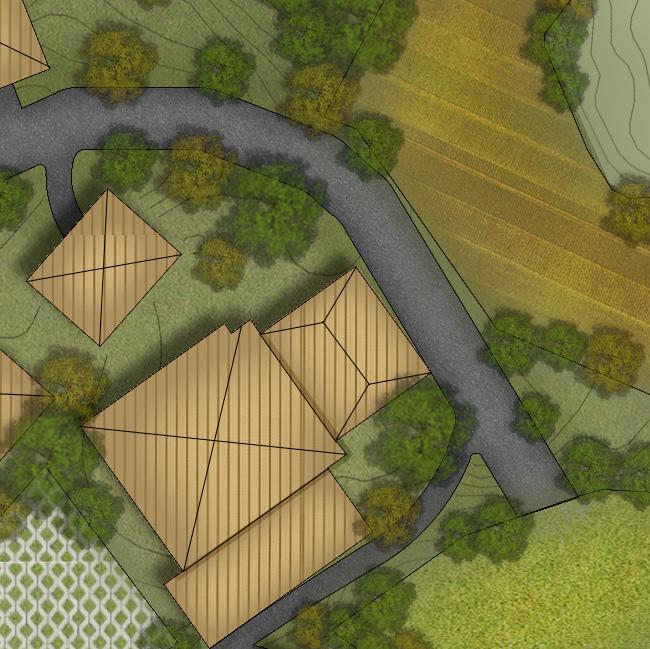
Sembalun School Institution,
Location : East Lombok Regency Type : Professional Company : Shirvano Consulting Work Type : Collaborative Work
Software Used : AutoCAD, Adobe Photoshop & Illustrator
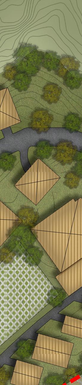
The site is situated in Sembalun District, East Lombok Regency, West Nusa Tenggara Province. In a regional context, the location of the site is relatively accessible from settlement areas, in which the closest and the farthest are within 1.6 km and 6 km, consecutively.
The site has a total area of 2.71 ha. It is surrounded by a ridge of various contours and the existing condition indicates an empty open land that is covered by rocky soil and plants.


The project is owned by the Rumah Peneleh Foundation which has been dedicated to the sociocultural development to achieve a religious, just, prosperous, and independent community. Therefore the project aims to create an educational institution with an environment that can support conducive learnings where students can enrich their religious, cultural, and socio-economical knowledge.

Educational institution where ones can learn knowledge and skills by strengthening the religious quality and enriching and preserving local cultural and socio-economic values.


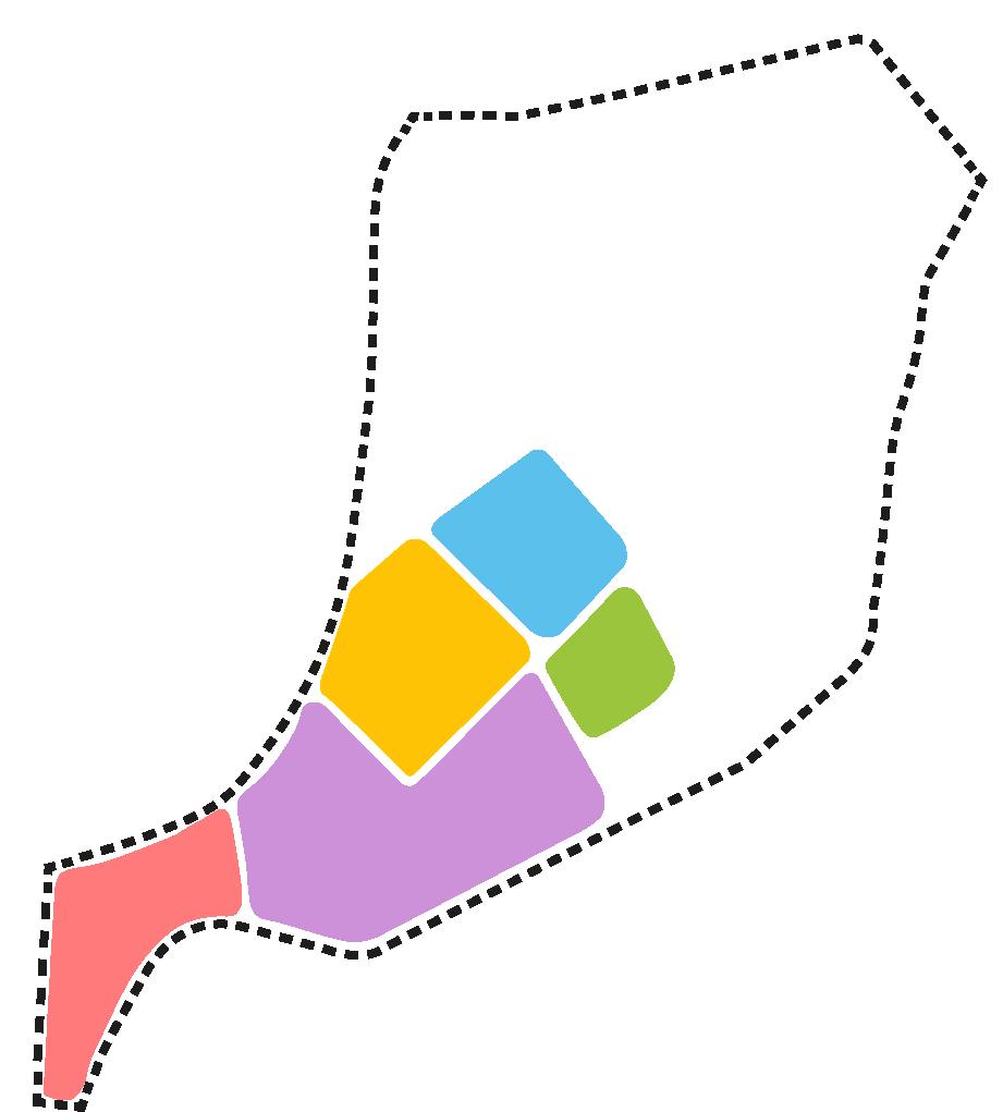
The main circulation provides access to all zones in the development site area which connects to the major pedestrian way and is continously linked to each building.
The development is oriented toward a centralized mosque and is placed at a high elevation in the area, thus, to become the main landmark of the development.
Aim to create learning focus environment that is safe and healthy by reducing the motorized vehicle activities within the main educational areas which are primarily connected and accessible by foot.

Zoning that can create environment that can promote calm, safe, comfortable and conducive learning and living experience..

The design layout describes the wisdom philosophy of the rice paddy plant as analogised as follows:


The more rice paddy plant grows with ripening grains, the more it bows down.
When rice paddy is all grown up and full of rice grains it bends its head low, hence, as we get better education we should be humble and submit ourselves to God.
Therefore, inspired by the wisdom of the rice paddy plant’s life, the idea of the spatial form’s concept is oriented towards the mosque, which reflects the life of an educated, societal and cultured community, so as to improve the religious quality of the community.

I really appreciate it, and if you’re interested to see for more projects, please....

Visit my Issuu Profile for Past Projects! https://issuu.com/hazmifariz Connect with me on LindkedIn for Future Projects! linkedin.com/in/ahmadhazmi

and