
5 minute read
11 Consequences on the community


11.1Preamble
The impact of flooding on the community is described in this section. The first step of understanding the impact of flooding on the community is to determine the flood behaviour within the catchment and identify key problem areas. Flood impact, road closure and flood damages can then be assessed, and more details are provided in this section.
11.2Flood behaviour
Flooding in the township catchment is ‘flashy’ in nature, with flood levels rising rapidly in response to relatively short durations of high intensity rainfall as opposed to extended periods of rainfall of lower intensity. This is confirmed by the critical duration ranging between 45 minutes and 2 hours as shown in Table 6.5. The river catchment has a slower response with a critical duration of 18 hours for all events except the PMF that has a 6-hour critical duration This was represented by the analysis of two critical durations as part of the design event modelling: a longer duration for the Myall River and a shorter duration for the flashy township catchment.
While there is some potential for rapid inundation of some properties and some roads in response to short durations of rainfall during rare events, the main flooding type in the study area is the flooding resulting from the river flooding. This flooding is slower and provides additional time to disseminate flood warnings Flood waters generally recede within hours or days after such an event
The study area contains various small drains flowing through the township that can be subject to overtopping during larger events.
Key issue areas potentially subject to deep flooding from the river include:
• Properties located west of Stroud Street and south of Jackson Street (including most properties along Jackson Street);
• Properties located in the two blocks enclosed within Prince Street, Richmond Street, Alexandra Street and Jackson Street;
• Properties east of Stroud Street and west of Crawford Street between Meade Street and Jackson Street; and
• The area around the intersection of River Street and Richmond Street
Key problem areas subject to shallower overland flooding include:
• Properties between Myall Street and Edgar Street at the southern end of the streets;
• Properties located along the drainage channel linking Stroud Street to Richmond Street via Alexandra Street;
• Properties along the flowpath linking Mackenzie Street to Crawford Street via Harold Street, Rosewood Street, Bulahdelah Way and Meade Street;
• Properties along the flowpath linking Bulahdelah Way to Crawford Street halfway between Stuart Street and Blanch Street, as well as properties along the western side of Crawford Street between this flowpath and Stuart Street; and
• Properties at the northeastern end of Suncrest Close.
A number of these locations may be impacted by relatively frequent events like the 20% AEP.
11.3Key infrastructure assets
There are two main types of key infrastructure assets as presented below:
• The first type includes facilities that are occupied by emergency responders such as police stations, fire stations or SES Centres.
• The second type includes facilities with particularly vulnerable residents such as schools, childcare centres, aged care facilities and hospitals.
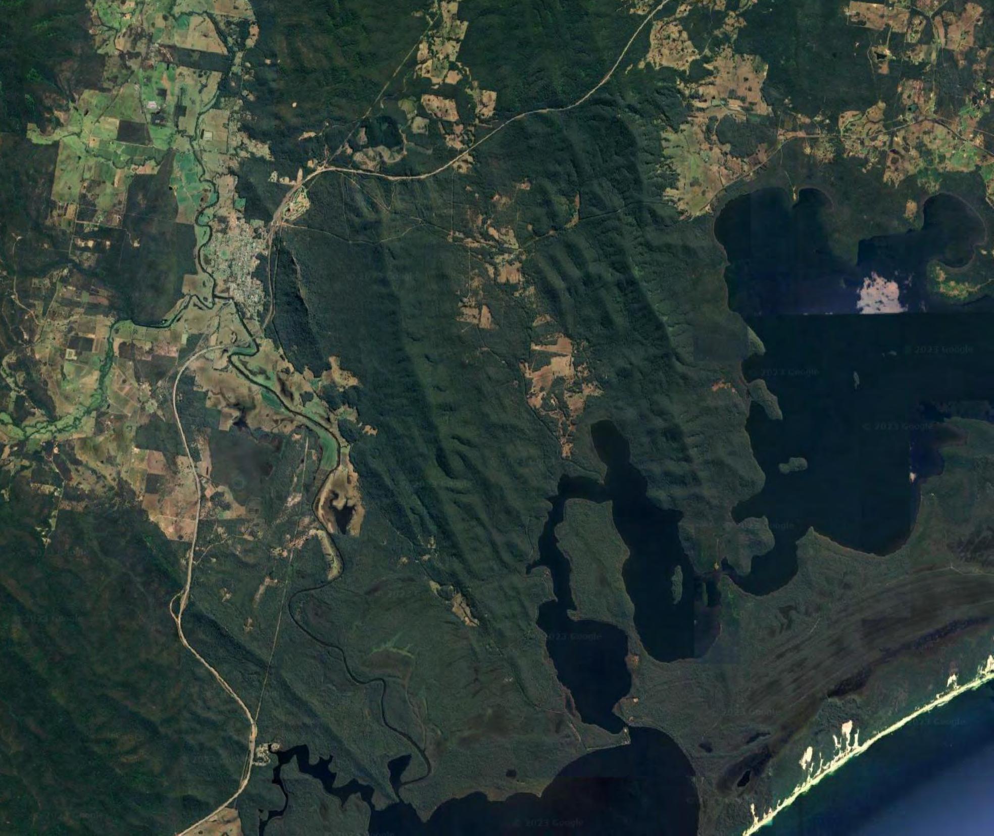
The locations of these key assets have been sourced from publicly available information (e.g. google map). A list of these facilities is provided in Table 11.1 along with a brief description of the flood affectation of each asset A map showing the location of these main structure is presented in Figure 11 1
Location
Police and Fire Stations
Bulahdelah Rural Fire Brigade
Bulahdelah Police Station
SES Centres
Comments on Flood Risk
The fire station is partly located within the PMF extent and access to the station is cut during PMF
Bulahdelah Police Station is outside the PMF extent but access to the station is cut during PMF.
SES There are no SES facilities located within the study area The nearest SES units are located at Stroud to the west, Forster to the east and Port Stephens to the south.
Hospital and Ambulance Stations
Bulahdelah Ambulance Station
Hospitals
The ambulance station is located within the PMF extent and access from the station may become limited during a PMF flood event.
There are no hospitals located within the study area. However, there is a nurse-led Community Health Centre known as the Bulahdelah Hospital that operates 7 am to 10.30 pm, 7 days per week. This centre is outside of the PMF extent. However, access to this venue by residents of various parts of Bulahdelah may be restricted as discussed in the following section.
Schools
St Joseph’s The school is outside of the PMF extent but access to school will be
Location Comments on Flood Risk
Primary School cut in such event.
Bulahdelah Central School
The school is outside of the PMF extent but access to school will be cut in such event.
Childcare Facilities and Preschools
Bulahdelah Preschool
The preschool is within the PMF extent and the property may be impacted by flood during a 1 in 200 AEP Access to the preschool would be cut during a PMF event
Aged Care Facilities and Retirement Villages
Great Lakes Nursing Home
This nursing home is partly located within the PMF extent and access to the station is cut during PMF NSW SES advised that this facility closed in 2022.
Designated Evacuation Centres
Bulahdelah Golf Club
The Bulahdelah Golf Club is used as an evacuation centre for the township of Bulahdelah. This venue is outside of the PMF extent. However, access to this venue by residents of various parts of Bulahdelah may be restricted as discussed in the following section.
11.4Road closure
An assessment of the frequency and hazard of road inundation is important for understanding the risk of vehicles becoming unstable, posing a risk to life for their drivers and passengers. It is also important for understanding evacuation risks, informing the classification of communities according to flood emergency response planning considerations. Measures to increase the flood immunityof critical roads could be considered as a resultofthis assessment.
Figure 11.2 depicts the flood events which result in road closures in the four lagoon catchments. Road closure was assumed as occurring when the depth of water over road reaches over 0.3 m, which is the depth that can start mobilising cars. Table 11.2 summarises the peak depth, duration of flooding over 0.3 m and time to depth above 0.3 m for each location presented on Figure 11.2
It can be noted from the flood mapping that a large number of locations get some water over the road very rapidly in the study area, although it may not become a significant problem every time. This is fairly common during overland flooding events.
Stroud Street, Jackson Street and Markwell Road near Markwell Bridge are inundated during a 20% AEP.
A few more roads become inundated from a 5% AEP in the township such as Stuart Street and Myall Street, as well as outside of the township such as the intersection of Frys Creek Road and Markwell Road, and a couple of locations along Bombah Point Road.
In the 1% AEP flood, several other roads become inundated at various locations around the township including Meade Street near Crawford Street, Prince Street, Alexandra Street and
River Street Markwell Road and Bombah Point Road become inundated closer to the township.MarkwellBackRoad, Suncrest Road and Myall Forest Road also become inundated. Crawford Street and Alexandra Street becomes cut at two locations during a 1 in 200 AEP event.
During a probable maximum flood event, numerous roads become cut around the town and major roads become inundated including Bulahdelah Way and the Pacific Highway. The above roads were considered inundated when the depth over the road exceeds 0.30 m as access would become impracticable.
Figure11.1

Keyinfrastructure locations

Legend
Studyarea
Extentof1%AEPflood
Keyinfrastructure
AgedCareFacilitiesand RetirementVillages
ChildcareFacilitiesand Preschools
DesignatedEvacuation Centres
FireStation
HospitalandAmbulance Stations
PoliceStation Schools
ReportMHL2789
ReviewofBulahdelah FloodplainRisk ManagementStudyandPlan


: Durations in italic are likely to be exceeded as the depth in the model was still higher than 0.15 m at the end of the simulation.


