1 minute read
10 Flood modelling results


10.1Flood modelling description
The TUFLOW hydraulic model was run for six (6) flood events including the 20%, 5%, 1%, 1 in 200 AEP, 1 in 500 AEP and PMF flood events. Two durations representing the upstream and downstream critical durations as described in Table 6.5 were modelled and an envelope of these two durations was produced to represent the flooding for each event.
10.2Flood mapping
10.2.1 Mapping filtering
The flood extents were filtered to remove shallow depths areas generated by the direct rainfall methodology. The criteria used to filter these shallow depths consisted of keeping areas where:
• Depth > 0.10 m; OR
• Depth > 0.05 m AND Velocity x Depth > 0.025 m2/s; OR
• Velocity > 2 m/s
Further to these criteria, “puddles” of less than 100 m2 were also removed from the extent. These filtering criteria are based on recent studies completed along the NSW coastline such as the Coastal Lagoons Catchments Overland Flood Study for Central Coast Council and the Racecourse Creek Flood Study and Option Assessment for MidCoast Council
10.2.2 Flood maps
Flood mapping presenting the peak flood level, peak flood depth and peak flood velocity envelop of each event is provided in Appendix G
10.3Flood levels outputs
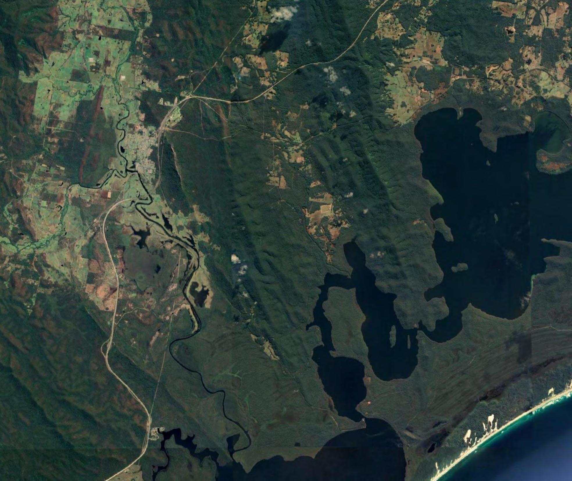
The peak design flood levels at specific locations have been summarised in Table 10.1. The specific locations are illustrated in Figure 10.1.
10.4Comparison with previous study results
The outcome of the current study was compared to the results of the previous study provided by Council. The extent of the 1% AEP of the two studies as well as a long section of the Myall River over the area were both studies overlap for the 1% AEP flood event are provided in Figure 10 2 It can be noted that the flooding level at the township in the present study is lower than the previous study by up to 0.9 m and is approximately 1.5 m higher at the downstream end of the model. This is the result of the widespread flooding and associated storage not being represented in the 1D model downstream of the Bulahdelah Township. The crosssections of the previous model were about 500 m wide while the storage area downstream of the township can reach a width of nearly 3 km. This lack of storage generates a backwater effect increasing the water level significantly. It is also noted that significant storage occurs downstream of the extent of the previous model between the downstream end of the model and Bombah Broadwater.


