PURDUE UNIVERSITY
STORMWATER + OPEN SPACE STUDY


75% document

This study represents a high-level, holistic evaluation of space needs and opportunities based on many variables and stakeholder groups. The vision, or framework, represented in the plan requires more detailed design prior to implementation. It is not a build plan. Utilizing studies allows for plans that can be flexible and responsive to yet unknown future conditions and opportunities.
INTRODUCTION
Scoping and Design Guidance
Guidance and Reference Plans
A framework for landscape character
Campus-wide Landscape Themes
Landscape Typologies - Major Campus Spaces
Landscape Typologies - Supportive Campus Spaces
Stormwater BEST MANAGEMENT PRACTICES
Purdue University BMP Inventory
Stormwater BMP Functions
Stormwater BMP Kit of Parts
Applying Stormwater BMPs to Landscape Typologies
focus areas
Applying Stormwater BMPs to Open Space Projects
Focus Area Stormwater BMPs + Functional Value Totals
Campus-wide Stormwater BMP Applications
Focus Area Diagrams
Appendix
ACKNOWLEDGMENTS
Purdue University
Amber Chellis-Omedo, Senior Director and University Architect
Allison Leavitt, Director of Campus Planning, Campus Planning, Architecture and Sustainability
Camille M. Shoaf, Senior Campus Planner, Campus Planning, Architecture and Sustainability
Tony Gillund, Director of Sustainability, Campus Planning, Architecture and Sustainability
Patrick Brown, Sustainability Manager, Campus Planning, Architecture and Sustainability
Adam Keyster, Principal Civil Engineer, Physical Facilities - Capital Asset Management
Marcus Smith, Civil Engineer, Physical Facilities – Capital Asset Management
Consultant Team
MKSK
Biohabitats
purdue university stormwater & open space study 3
Photo Credit: John Underwood/Purdue University
FORWARD
CONTENTS
TABLE OF
Graduate
Parking Garage
Wood Street - Alternate Concept 5-17 19-25 27-49 51-141 142-153
Student
+

Building on the 2009 Purdue University Campus-Wide Stormwater Plan, this kit of parts summarizes various stormwater best management practices (BMPs) that may be implemented as part of the University’s future capital improvement projects (CIP), and more specifically in the priority open spaces. Through conversations with the University’s Campus Planning, Architecture, and Sustainability and Capital Asset Management Departments, the goals of the practices discussed herein are to meet the Tippecanoe County Stormwater Standards, reduce the runoff entering the campus drainage system at key points where it is currently overwhelmed, and provide co-benefits beyond stormwater management. Additionally, the University has expressed the need for an easily referenced document to utilize during early stages of CIP development to identify how stormwater BMPs can be incorporated into different types of projects within various campus typologies. Resultant studies and recommendations support initiatives of the 2020-2024 Physical Facilities Sustainability Master Plan.
The stormwater management kit of parts establishes the foundation for a decision-making process to be used during the planning stage to integrate BMPs into CIP and Rehabilitation and Renovation (R&R) projects. The document provides information that will inform the most appropriate application of stormwater BMPs based on stormwater need, BMP function, campus typology, and landscape character. By focusing on the thirteen (13) stormwater BMPs listed herein, the kit of parts prioritizes stormwater practices recommended by the Tippecanoe County Stormwater Ordinance, and enhances campus open space, and apply to the range of landscape typologies and character found throughout campus. The kit of parts has been designed to apply to the range of landscape typologies and character found throughout campus.
The Stormwater BMPs Functions Chart and the Stormwater BMPs and the Landscape Typologies Matrix provide the University with a tool to identify appropriate BMPs for a given stormwater management goal and campus context, respectively. These tools should be used together to ensure selected BMPs are most appropriate for the stormwater need and landscape context at each site. Once the pool of appropriate BMPs has been narrowed for a particular project, campus planners may use the BMP cut sheets to convey more detailed information for each of the potential BMPs. The cut sheets provide a summary of applications, design considerations, approximate costs, and maintenance requirements for each BMP, which will aid decision makers in selecting the correct BMP for each project and site.
Given the extent of the University’s existing stormwater BMP initiatives, the kit of parts is intended to serve as a planning, decision-making, and communication tool rather than an alternative to existing design standards and required stormwater analyses. The kit of parts should be used in conjunction with these documents to most effectively plan and incorporate stormwater BMPs early in planning processes.
purdue university stormwater & open space study 5 INTRODUCTION
Credit: Purdue Marketing + Communications
Photo
SCOPING AND DESIGN GUIDANCE
1.) guidance for capital priority projects
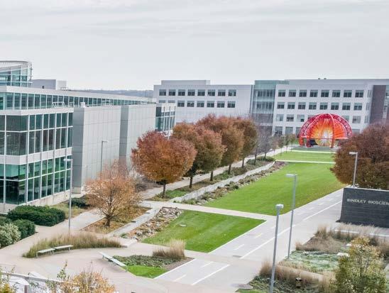
Providing a tool kit to incorporate stormwater best management practices into the redevelopment of existing campus spaces
2.) guidance for open space priority projects
Building upon Purdue University’s proposed open space network and leveraging stormwater best management practices.
3.) guidance for stormwater problem areas
Identifying existing stormwater management problems, and providing a multi-solution approach for improvement.
4.) guidance for rehabilitation and renovation and stand alone projects
Using a multi-solution approach to mitigate existing stormwater management problems with new campus development.
W-2 StrategytoEliminatetheCSO
5.) guidance for CSO SEPARATION GOALS
Strategically planning for stormwater best management practices that further separate the University’s contributions to the combined sewer overflow.


GUIDANCE + REFERENCE PLANS


purdue university campus-wide stormwater modification design (2009)
Background information on previous campus stormwater evaluations and recommendations.
purdue university giant leaps master plan (2018)
Context on the Universities master plan goals.
1869 tree plan (2019)
Framework for categorizing campus landscape character.
purdue university 2020 Physical Facilities Sustainability
Master Plan (2020-2024)
Support of water stewardship and sustainability goals at Purdue University.
Purdue University campus stormwater model study (2023)
Identifying existing stormwater problem areas on campus.
tippecanoe stormwater technical standards manual (2023)


Supplemental information for the review and design of stormwater best management practices in Tippecanoe County



05/10/2023 1st Street Parking Garage Macarthur Drive Mccutcheon Drive Mccutcheon Residence Hall +Vehicular Drop off/Pick up + Move in/out +Uber +Vehicular Drop off/ Pick up + Move in/out Inner Pedestrian Circulation Sidewalk Bus Stop B B B B B Hillenbrand Residence Hall GIANT LEAPS MASTER PLAN THE INITIATIVE The 1869 Tree Plan supports the Giant Leaps Master Plan vision, which seeks to unify the five campus districts into a cohesive whole. The plan thoughtfully knits existing and new tree canopy across campus by closing gaps between the native woodland and the urban canopy. The target number of new trees planted, 3,738, represents a doubling of the Sustainability Master Plan goal to plant one tree per day, which had evolved into planting 1,869 trees in five years. The 1869 Tree Plan will put Purdue on a path to establishing a more connected campus through resilient, geographically appropriate, and teaching-rich tree canopies. This document shall not only serve as a tree planting guide, but also inform planning, policy, and decision-making on future development at Purdue NOVEMBER 2019
8 Develop Strategy inrack ty: stormwater open space plan to implement study recommendations
University
to CSO University
baseline 2018 PURDUE UNIVERSITY WEST LAFAYETTE CAMPUS GIANT LEAPS MASTER PLAN purdue university stormwater & open space study 6 7
LEGEND:
area contributing
area separated from CSO since 2016
guidance for capital priority projects guidance for Stormwater problem Areas guidance for Open Space priority Projects guidance for cso separation goals Purdue university campus stormwater model study guidance for Rehabilitation and Renovation and Stand Alone Projects
to use this document guidance and reference plans
how
GIANT LEAPS MASTER PLAN - QUINTANTS
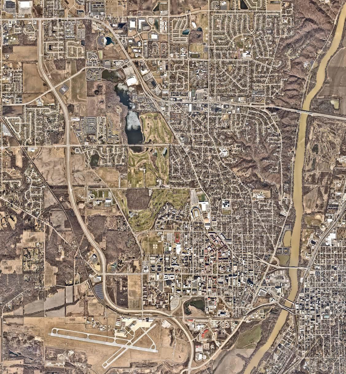
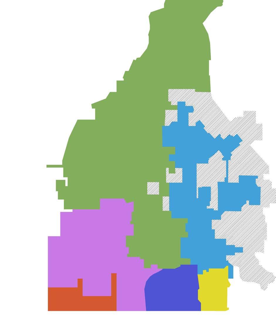
Prior to the Giant Leaps Master Plan, Purdue’s West Lafayette campus was divided into five distinct areas.
GIANT LEAPS MASTER PLAN - PROPOSED OPEN SPACE NETWORK
The Giant Leaps Master Plan proposes uniting campus through a robust open space network that serves as pedestrian, utility and ecological corridors. Purdue has identified and is working towards the transformation of the following priority areas.
• EAST CAMPUS mature and collegiate
• SOUTH CAMPUS EAST Collegiate and suburban
• SOUTH CAMPUS WEST research and suburban residential
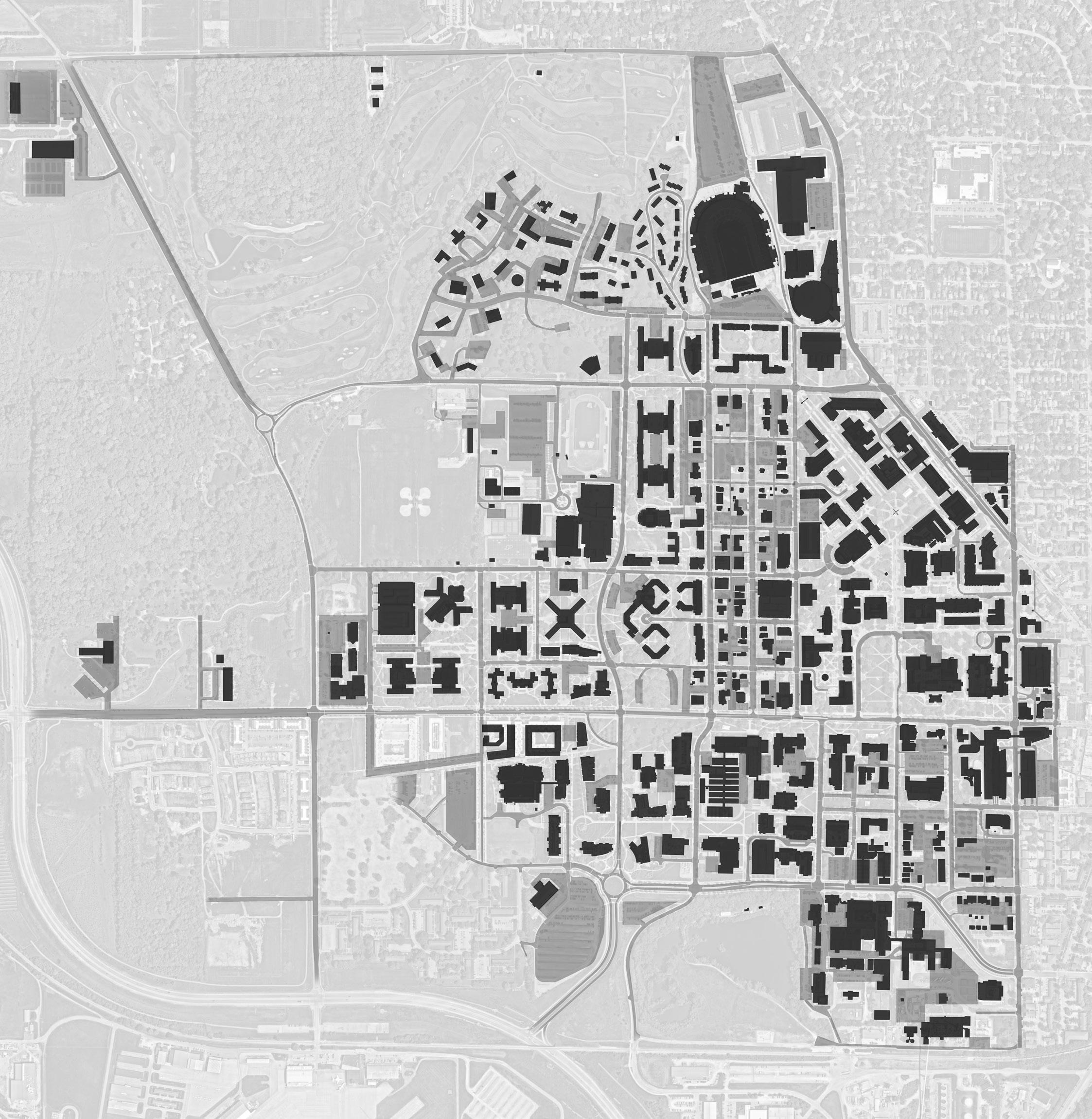
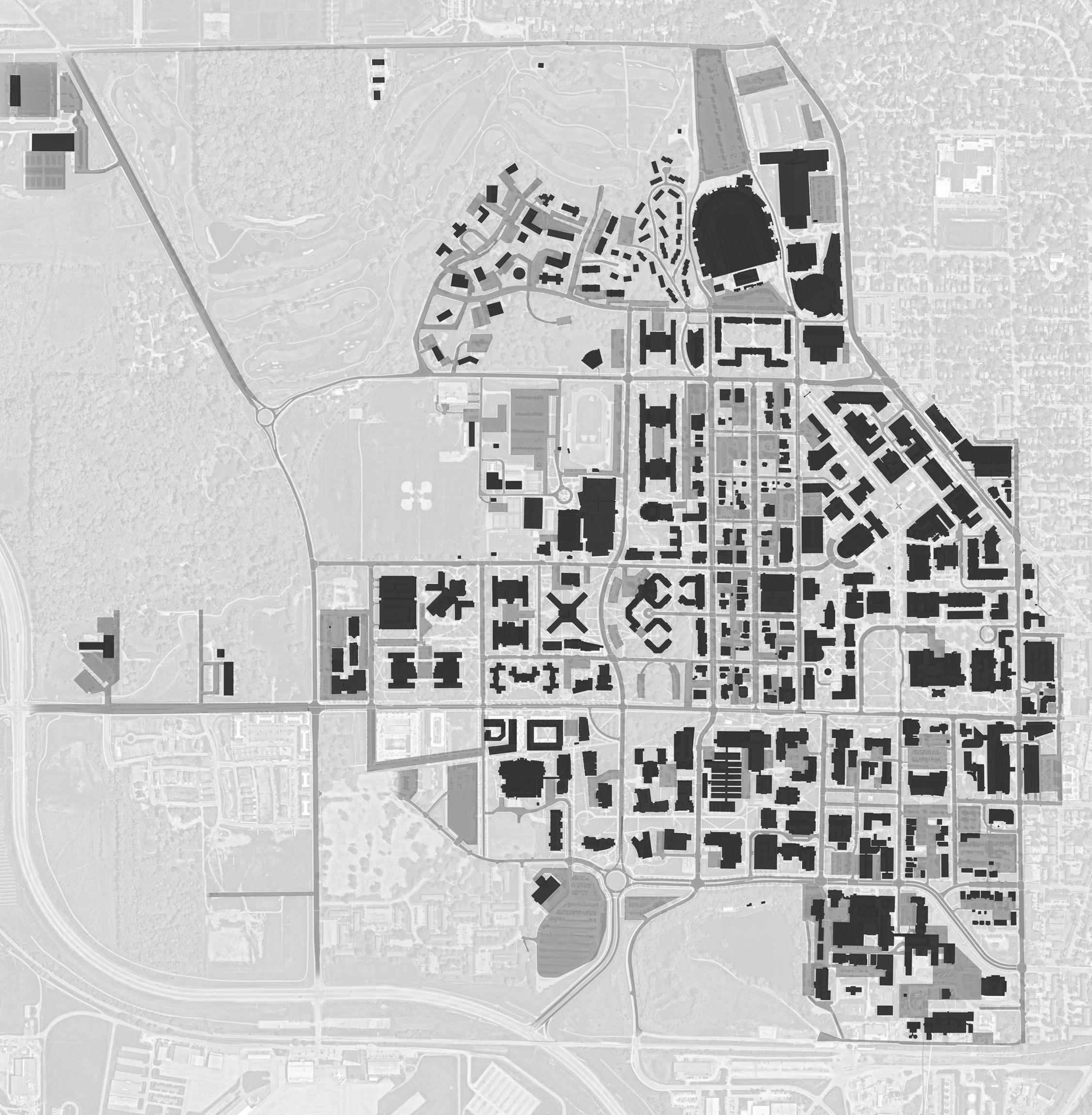
purdue university stormwater & open space study 8 9
• WEST CAMPUS suburban style residential • NORTH CAMPUS athletics and residential 1. 6. 2. 3. 4. 5. 1. third street student success corridor 2. memorial mall/oval drive and academy park 3. Marsteller street connection 4. Agriculture Mall/Pao Mall 5. Health AND LIFE Sciences Mall 6. Horticulture Park guidance and reference plans
existing
priority open
campus quintants
space improvements
STORMWATER FEASIBILITY STUDY - CAMPUS WELL HEAD
AREA

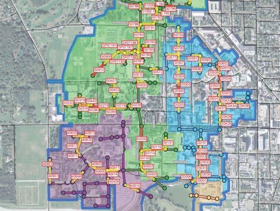
STORMWATER FEASIBILITY STUDY - PROBLEM AREAS
Note: Study boundary incorporates drainage area outline from Purdue University Stormwater Model (Wessler Engineering 2023). The stormwater and open space study boundary incorporates additional University property. The well head protection zones have been determined by IDEM to protect drinking water resources. The 5-year and 10-year zones dictate what stormwater BMP activity is permissible within each zone; such as infiltration limitations. This map shows the well head protection zones that impact Purdue Univeristy Campus, only.

250'500' PURDUE UNIVERSITY STORMWATER MASTER PLAN March 2020 purdue university stormwater & open space study 10 11 well head protection zone well head Purdue University stormwater modeling boundary (wessler engineering 2023) us 52 us 231 sr26 statestreet northwestern avenue sagamore parkway protection areas study boundary study boundary wabash river celery bog 10yearcapturezone5yearcapturezone downtown lafayette purdue university west lafayette purdue university airport harrison pond
Note: Gates Road, Martin Jishke Drive, University, and Vet School storm sewer links are tributary to Harrison Pond.
guidance and reference plans
PROTECTION
gates road storm sewer links martin jischke drive storm sewer links University Storm sewer links vet school storm sewer links well head protection zone above ground flooding 1-2 times max capacity storm sewer links >2-3 times max capacity storm sewer links >3 times max capacity storm sewer links gates jischke university vet school power plant airport harrison pond university cso storm sewer links and nodes EXISTING problem areas storm drainage basins protection areas todd’s creek watershed west lafayette combined sewer harrison pond 10yearcapturezone 5yearcapturezone
1869 TREE PLAN - THEMATIC BACKBONE
The 1869 Tree Plan provides high level direction on where native and urban landscapes are appropriate on campus.
CAMPUS PLANNING + SUSTAINABILITY


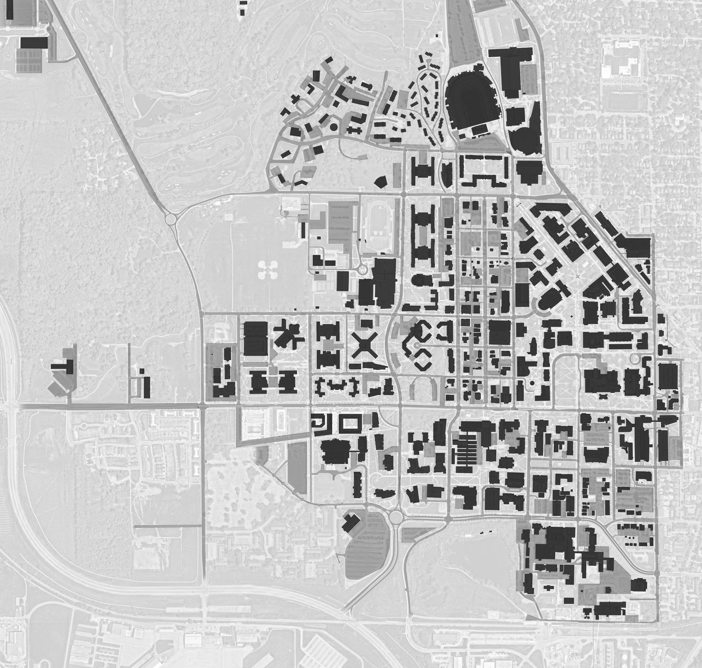
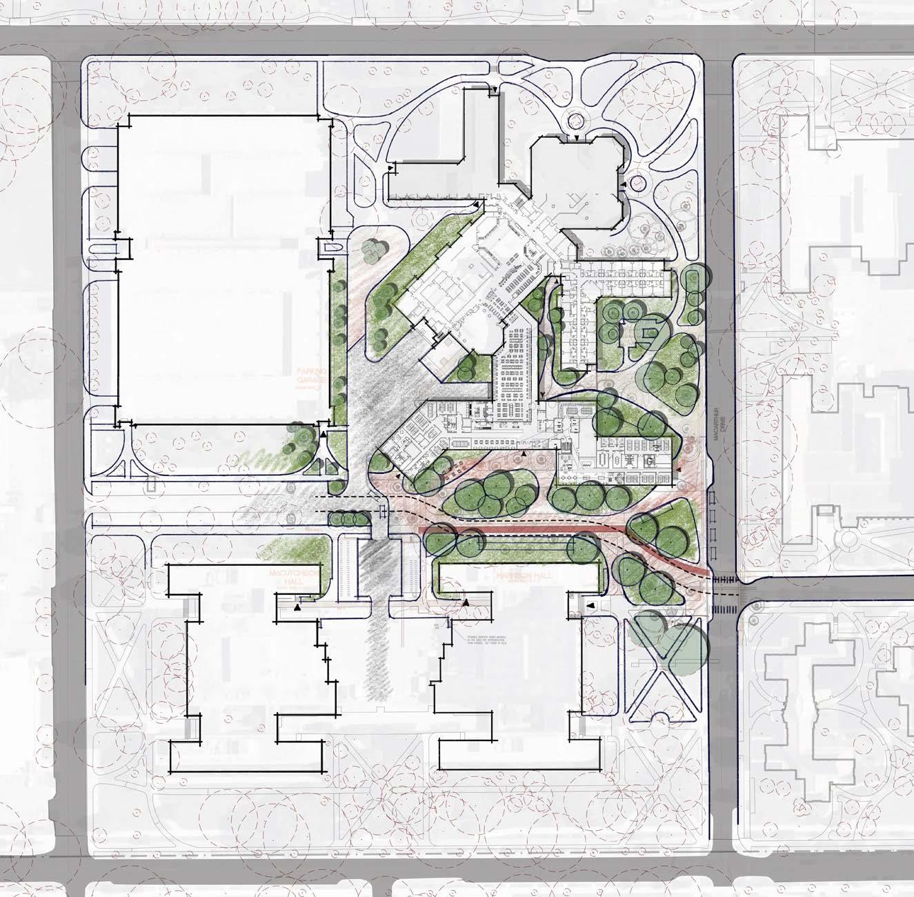
Current - Urban Tree Canopy Expanded - Urban Tree Canopy Native Woodlands - Current Native Woodlands - Expanded 10yearcapturezone 5yearcapturezone purdue university stormwater & open space study 12 13 The urban tree canopy exists in the more densely developed parts of campus where buildings and hardscape features are predominate. Promote a natural, and less ornamental approach to mimicking a natural wooded environment. Native landscape urban landscape 1. Heavilon hall demo and associated renovations 2. Life Science Ranges Phenotyping greenhouse building 3. nursing/pharmacy building 4. Hillenbrand hall south 5. school of business 6. graduate school parking garage 7. memorial mall/oval drive/academy park 8. meredith complex residence halls 9. island bridge residence halls 10. public safety building 11. pickett park/rec field/todd’s creek 12. forestry building 13. agriculture mall 14. veterinary medicine complex 15. Pfendler hall south potential near term horizon potential medium term horizon PRIORITY OPEN SPACES CAPITAL priorities bot approved Note: BOT Approved projects do not include renovations unless major site work is included. guidance and reference plans
map
status
capital project
fall 2023.
The following
shows the
of
as of
CAPITAL PROJECTS 12 15 13. 10. 11. 4. 3. 8. 9. 2. 14. 6. 5. 1. 7.
-
The opportunity to improve upon Purdue University’s stormwater management can be integrated into the proposed open space network of the Giant Leaps Master Plan. Implementing stormwater best management practices (BMPs) can leverage priority open space projects with functional and aesthetic value. However, determining the appropriate system requires an understanding of existing characteristics of the landscape. Considering the various components, history, program, and environments of Purdue University’s landscape is imperative to the decision-making process.
Building upon development characteristics defined in the Giant Leaps Master Plan and the Thematic Backbone from the 1869 Tree Plan, a framework for landscape character can be developed for the University. This chapter defines campus-wide landscape themes known as typologies to further characterize campus spaces. Additionally, it establishes the spaces’ status as sacred or not. Using this framework, the University can make general character design decisions during the planning and development of campus spaces.

LANDSCAPE CHARACTER A FRAMEWORK FOR
purdue university stormwater & open space study 15
CAMPUS-WIDE LANDSCAPE THEMES
Native landscapes are natural in character; managed by natural processes, or maintained to preserve the natural environment. These landscapes are located in the undeveloped land around campus, and within the adapted woodland canopy that flows through Purdue’s densely developed spaces.
Sacred landscapes at Purdue University have exceptional historical, cultural, and or aesthetic value connected to the campus and the community. Efforts need to be taken to preserve the character of these spaces. Minimal and harmonious alterations could occur.
sacred native landscapes
The urban landscape occurs in environments that have been interrupted and tailored to enhance the character and functionality of development. Conventional landscapes are located among many of Purdue’s building and open space developments.
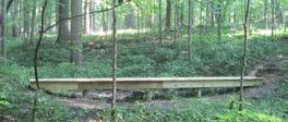
Stewart Woods
The 22 acres of mature woodland is utilized for outdoor classes, labs, and recreational use.
The 38 acres of mature woodland is utilized for outdoor classes, labs, and recreational use.


sacred urban landscapes
Cary Quad
Purdue Mall (within stone walls)
Hovde Hall (entry)
Bell Tower Garden
Memorial Mall (within Oval Drive)
Purdue Memorial Union (front lawn)
Founders Park
Gateway to the Future Arch
Unfinished Block P Statue
Sculpture

The lawn, native woodland, and outdoor amphitheater is utilized for seasonal recreation and gathering.
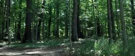
The well preserved native woodland is utilized as a passive recreation park near the center of Purdue’s campus.
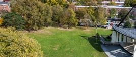

This residence hall is one of the oldest and most traditional resident halls on Purdue’s campus.
Purdue Mall contains formally organized lawns, tree canopy, and pathways around a prominent fountain and gathering space.
The formal steps, columns, and pediment of Hovde Hall’s entrance overlook Purdue Mall.
The gardens contain intimate gathering and provide contemplative program near one of Purdue’s most prominent landmarks.
The mall once organized the original section of Purdue University. This historic landscape continues to be a popular gathering space for organized events and recreational activities.
The Purdue Memorial Union is one of the oldest and most traditional buildings on campus. The front entrance, lawn, and gateway plaza are iconic landmarks for Purdue University.
The park serves as a pedestrian mall designed around Purdue’s historic Loeb Fountain, an interactive water sculpture.
The Arch and surrounding landscape serves as a formal entry, or gateway, into Stadium Mall and other prominent landscapes.
The memorial statue and surrounding landscape is in honor of those students who have passed away while at Purdue.
The student designed sculpture and interpretive landscape is in honor of Janice Voss, who flew on five space shuttle missions.


purdue university stormwater & open space study 16 17
Voss
McCormick Woods
Slayter Hill
a framework for landscape character
Duhme Woods
+ Communications
Photo Credit: Purdue Marketing
LANDSCAPE TYPOLOGIES - MAJOR CAMPUS SPACES
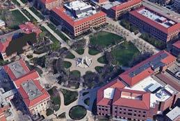
Large all-campus spaces, typically defined by strong edges, path systems, plazas, gathering areas, special features (such as fountains), ornamental plantings, turf grass, and canopy trees.
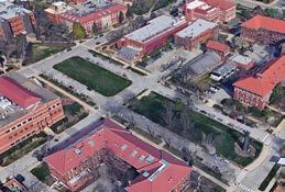
Linear spaces typically defined by strong edges which serve as strong campus connectors and active meeting places, reinforced through multi-modal path systems, small gathering areas, special features, ornamental plantings, turf grass, and canopy trees.
Large spaces that are more natural in character, passive in function, and not necessarily associated with buildings or characterized as having strong edges.
Large spaces associated with a collection of like buildings, typically defined by strong edges, simple path systems, turf grass, and canopy trees.
Gathering spaces that are primarily paved and include seating, features, and accent landscape. These spaces are typically associated with buildings or key campus arrival areas.
Small gathering spaces that border larger campus spaces and reinforce their edges. These spaces serve as vantage points and include seating that adds a sense of campus vibrancy.
Small-scale, special spaces that encourage contemplative gathering, characterized by unique features and plantings.
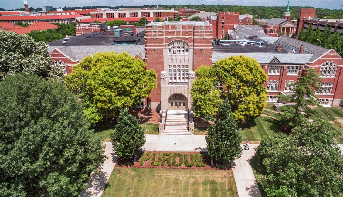
Malls
• Purdue Mall
• Memorial Mall
• Agriculture Mall
• Health & Life Sciences Mall
• Academy Park

• Stadium Mall
• Centennial Mall
• 3rd street ‘Mall’
• Marsteller Street ‘Mall’
• Founders Park parks
• Duhme Woods
• Horticulture Park
QUADS
• Krach Lawn
• Cary Quad
• Windsor, Shealy, Vawter, Duhme, and Honors College Residence Halls links
• Slayter Hill plazas

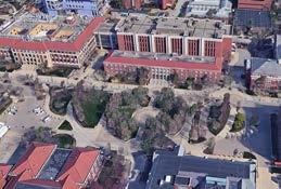


• Purdue Union Gateway plaza
• MSEE plaza
• Pao plaza porches
• Stewart Center overlooking Memorial Mall
• Pharmacy building overlooking Stadium Mall
• MSEE overlooking Purdue Mall
• Horticulture and nelson halls overlooking agricultre mall
• Stanely Coulter Hall overlooking Memorial & Centennial Malls
• 3rd Street Suites overlooking Krach lawn
• Waldron Street ‘Mall’ gardens
• Armstrong Hall grove
• Bell Tower garden
• Unfinished P garden
• Horticulture garden
• Krannert garden



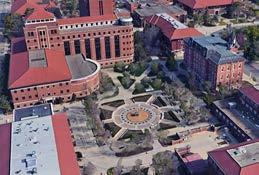
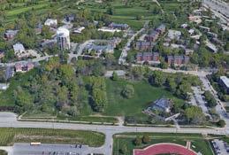
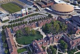
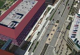
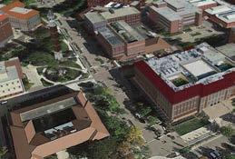


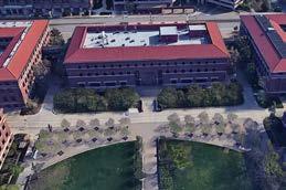

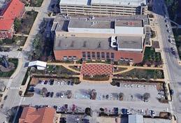

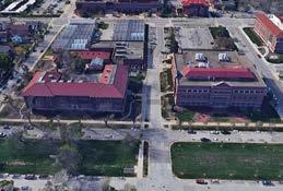


landscape typology: malls and links landscape typology: malls and links landscape typology: plazas, porches, and courtyards purdue university stormwater open space study landscape typology: plazas, porches, and courtyards msee plaza purdue mall purdue university stormwater open space study purdue memorial union and Stewart center courtyard landscape typology: parks and quads landscape typology: plazas, porches, and courtyards purdue university stormwater open space study landscape typology: gardens purdue bell tower gardens purdue university stormwater open space study landscape typology: plazas, porches, and courtyards armstrong hall purdue university stormwater open space study academy park purdue university stormwater open space study landscape typology: malls and links memorial mall landscape typology: malls and links purdue university stormwater open space study health and life sciences mall landscape typology: parks and quads landscape typology: parks and quads purdue university stormwater open space study landscape typology: parks and quads krach lawn landscape typology: plazas, porches, and courtyards purdue university stormwater open space study landscape typology: plazas, porches, and courtyards horticulture building and nelson hall porches and lawns agriculture mall landscape typology: plazas, porches, and courtyards purdue university stormwater & open space study 18 19 MALLS links PARKS quads PLAZAS Porches GARDENS
Purdue Memorial Union (front entry yard and foundation)
a framework for landscape character PLAZA PLAZA PLAZA PLAZA PORCH PORCH PORCH PORCH LINK LINK LINK MALL MALL MALL MALL MALL QUAD QUAD PARK PARK PARK PARK PARK PARK COURTYARD COURTYARD COURTYARD COURTYARD GARDEN GARDEN
Photo Credit: Purdue Marketing + Communications
LANDSCAPE TYPOLOGIES - SUPPORTIVE CAMPUS SPACES
Key building arrival areas highlighted by paving, accent planting, and seating areas.
Landscape spaces at base of buildings and extending out to streets or other campus spaces. These spaces are passive in function and simple in landscape treatment.
Impervious cover that offers an opportunity to extend campus landscape to upper levels and collect stormwater runoff.
Loading docks and service drives internal to campus which require adequate screening, signage, and pedestrian accommodation.
Paved parking lots which require adequate planting to provide shade and manage stormwater.
Multi-modal corridors that provide access to buildings and spaces, primarily characterized as including street trees and accent plantings or lawn.
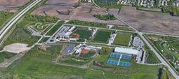
Campus space which is reserved for Intercollegiate Athletics and/or Recreational Sports purposes.
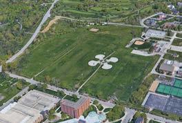
Large scale, active open spaces that serve recreational purposes. Lawn and accent tree plantings are the dominant landscape elements.
Wooded and natural landscape bugger on the University’s south and west edges against US-231.
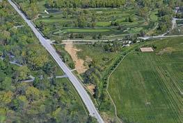
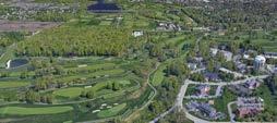
Stream corridors that collect and covey stormwater.
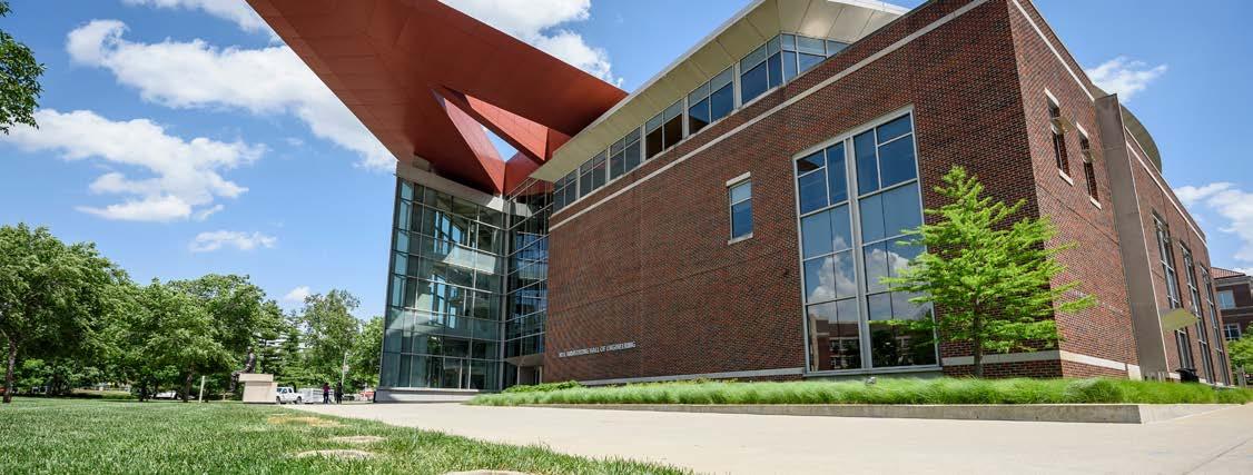
building entries
• Hovde Hall
• France Cordova Recreational Sports Center
• Armstrong Hall
building yards & foundations
• Purdue Memorial Union
• Cary Residence Hall
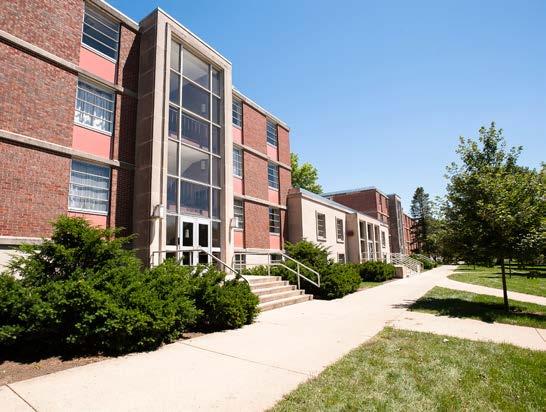
• Hillenbrand & Harrison Residence Halls
building roofs
• Horticulture building
• Windsor Residence Hall
• Owen Residence Hall
back of house/service
• Tarkington & Wiley Halls
• Whistler Hall, Agriculture Administration, & Forestry building
surface parking lots
• Ross-Ade Stadium south lot
• France Cordova Recreational Sports Center
• Discovery Park lot
streets
• Martin Jischke Drive
• Waldron Street
• 3rd Street
intercollegiate athletics
• Lambert, Mackey, Ross-Ade
• Rankin Track
• Northwest Athletics Complex
Recreation & Intramural athletics
• Intramural Gold playing fields
• Intramural Black playing fields
green belt
• US 231
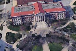
Riparian
• Todd’s Creek at Horticulture Park
• Todd’s Creek at Pickett Park
• Todd’s Creek at golf course


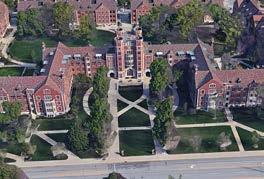

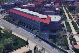


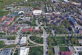
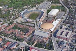
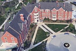


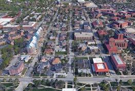
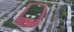
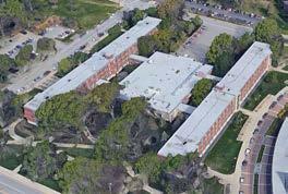




landscape typology: building entrance landscape typology: building entrance landscape typology: building foundations and yards landscape typology: building roofs purdue university stormwater open space study landscape typology: streets waldron street purdue university stormwater open space study landscape typology: recreation and intramural athletics intramural gold playing fields landscape typology: riparian purdue university stormwater open space study todd’s creek HORTICULTURE PARK purdue university stormwater open space study landscape typology: collegiate athletics purdue university stormwater open space study landscape typology: back house services department of forestry and natural resources, whistler hall, agriculture administration purdue university stormwater open space study ross-ade stadium south purdue university stormwater open space study landscape typology: back house services wiley and tarkington residence halls purdue university stormwater open space study purdue university stormwater open space study landscape typology: building foundations and yards purdue memorial union purdue university stormwater open space study landscape typology: building entrance landscape typology: building foundations and yards purdue university stormwater open space study owen residence hall purdue university stormwater open space study marsteller street purdue university stormwater open space study hillenbrand, harrison, and mccutcheon residence hall porches and lawns purdue university stormwater open space study landscape typology: recreation and intramural athletics intramural gold playing fields purdue university stormwater & open space study 20 21 Building entries BUILDING YARDS AND FOUNDATIONS Building ROOFS BACK OF HOUSE/SERVICE SURFACE PARKING LOTS STREETS intercollegiate
RECREATION & INTRAMURAL ATHLETICS GREEN BELT RIPARIAN
ATHLETICS
neil armstrong hall of engineering (front entry yard and foundation)
a framework for landscape character ENTRY ENTRY ENTRY YARD YARD YARD YARD LINK BACK OF HOUSE BACK OF HOUSE RECREATION RECREATION ATHLETICS GREEN BELT RIPARIAN RIPARIAN
Photo Credit: Purdue Marketing + Communications
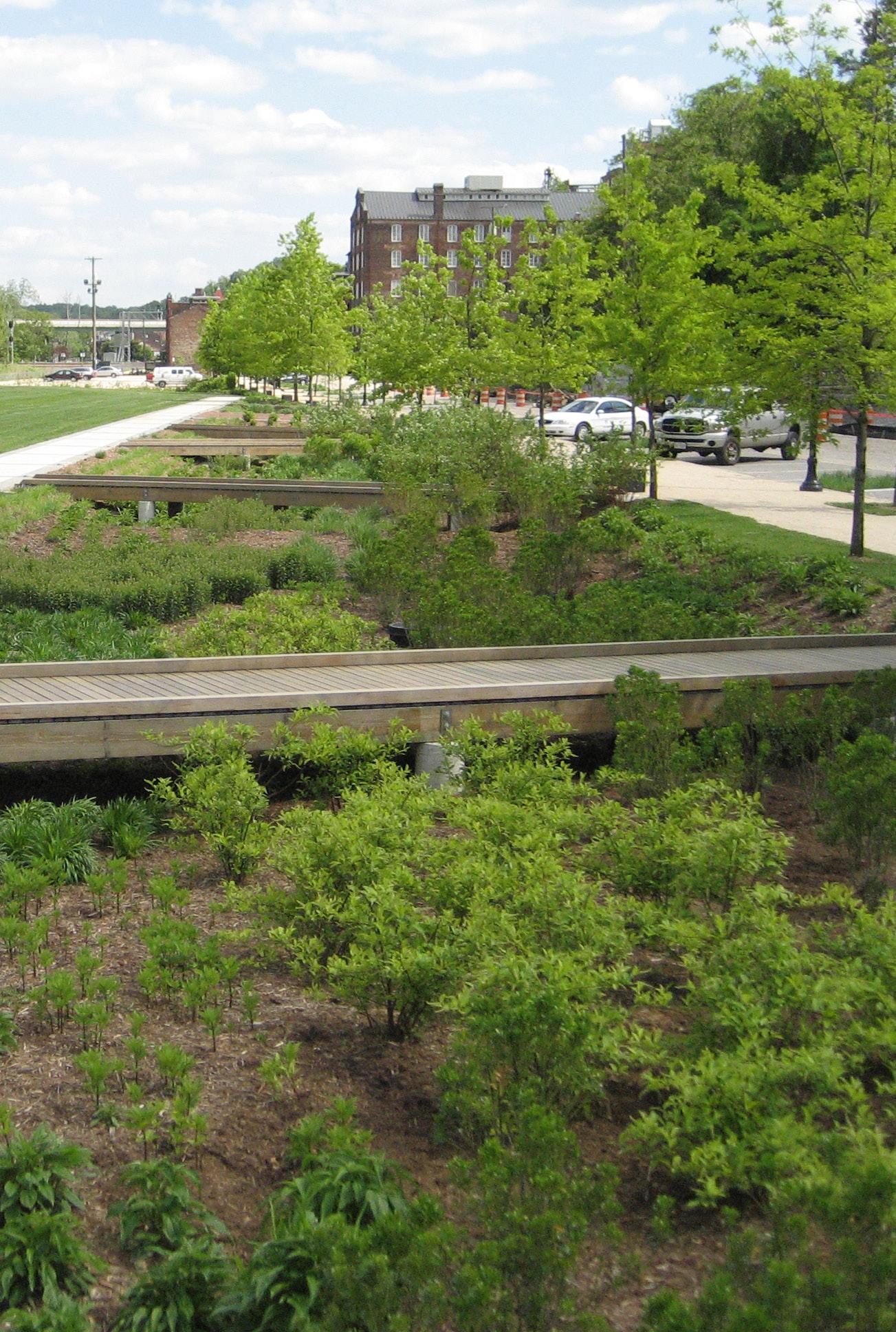
With the goals of connecting native and urban landscapes, enhancing open spaces, and developing green corridors throughout campus, the kit of parts emphasizes green stormwater infrastructure over traditional grey infrastructure. Grey strategies such as subsurface systems are included; however, they should only be employed when green infrastructure alternatives prove inappropriate. The kit of parts may be used to advocate for green infrastructure approaches since they provide multiple benefits, encourage public engagement with stormwater, and enhance the campus aesthetic.
Green stormwater infrastructure uses natural processes to filter pollutants from stormwater runoff and allows for more sustainable means of conveying and storing runoff when necessary. In addition to managing stormwater runoff, green infrastructure can also serve as an ecological network on a scale comparable to other forms of campus infrastructure (roads, water, sewer) but comprised of gardens, wetlands, forests, and other natural areas. Such a network offers multiple benefits for the campus community such as native habitat for plants and animals, opportunities for nature-based recreation, cleaner air and water, and green spaces that reduce urban heat islands.
As presented in the kit of parts, there are many ways to incorporate green infrastructure practices into the campus environment. Rainwater harvesting practices reduce runoff by immediately detaining stormwater in rain barrels, cisterns, or other storage chambers for later use on site. Practices such as landscape conversion, soil restoration, and permeable pavement are used to slow and intercept rainwater by increasing the infiltration capacity of existing surfaces. Bioretention, stormwater planters, vegetated swales, infiltration berms and constructed wetlands create functional landscapes that balance conveyance and storage while removing nutrients. Disconnecting roof downspouts redirects runoff to areas where it can be detained or infiltrate rather than entering the storm sewer system. Riparian corridor enhancement revitalizes the entire stream corridor through floodplain reconnection, installation of native vegetation, and stream restoration.
More detailed descriptions of these stormwater BMPs and how they might be incorporated into campus initiatives are included in the kit of parts, which will aid campus planners and decision makers in incorporating these approaches into campus initiatives.
purdue university stormwater & open space study 23
PRACTICES STORMWATER BEST
MANAGEMENT
PURDUE UNIVERSITY -
The campus map lists and briefly describes the existing best management practices at Purdue University. Locations of BMP types and vortex separators are highlighted on the campus map.


2 2 2 2 2 2 2 2 2 2 2 2 2 2 2 2 2 2 2 2 2 2 22 2 2 2 2 2 2 2 2 2 2 2 2 2 22 2 2 Ô Ô 29 Ô Ô 65 Ô Ô 17 Ô Ô 28 Ô Ô 1 Ô Ô 46 Ô Ô 65 Ô Ô 46 Ô Ô 64 Ô Ô 33 Ô Ô 64 Ô Ô 26 Ô Ô 35 Ô Ô 79 Ô Ô 16 Ô Ô 10 Ô Ô 33 Ô Ô 14 Ô Ô 65 Ô Ô 5 Ô Ô 63 Ô Ô 40 Ô Ô 44 Ô Ô 64 Ô Ô 14 Ô Ô 9 Ô Ô 16 Ô Ô 72 Ô Ô 37 Ô Ô 16 Ô Ô 16 Ô Ô 12 Ô Ô 37 Ô Ô 77 Ô Ô 37 Ô Ô 80 Ô Ô 37 Ô Ô 37 Ô Ô 16 Ô Ô 72 Ô Ô 22 Ô Ô 79 Ô Ô 12 Ô Ô 74 Ô Ô 3 Ô Ô 3 Ô Ô Ô Ô 3 Ô Ô 18 Ô Ô 12 Ô Ô 13 Ô Ô 38 Ô Ô 63 Ô Ô 32 Ô Ô 63 Ô Ô 20 Ô Ô 27 Ô Ô 75 Ô Ô 73 Ô Ô 16 Ô Ô 32 Ô Ô 24 Ô Ô 67 Ô Ô 15 Ô Ô 71 Ô Ô 31 Ô Ô 36 Ô Ô 23 Ô Ô 67 Ô Ô 70 Ô Ô 29 Ô Ô 67 Ô Ô 78 Ô Ô 6 Ô Ô 2 Ô Ô 14 Ô Ô 67 Ô Ô 46 Ô Ô 13 Ô Ô 34 Ô Ô 21 Ô Ô 16 Ô Ô 16 Ô Ô 63 Ô Ô 58 Ô Ô 30 Ô Ô 30 Ô Ô 30 Ô Ô 30 Ô Ô 81 Ô Ô 30 Ô Ô 30 Ô Ô 30 ´ 0 0.25 0.5 0.125 Miles Stormwater Quality Infrastructure Legend 2 Vortex Separator Bio-Swale/Rain Garden Detention/Infiltration Area Green Roof Permeable Pavers Pervious Concrete Porous Asphalt Porous Pave Vegitated Sediment Basin Wash Station State St 3rd St Stadium Ave Stadium Ave 3rd St State St US231 US231 Harrison Ave Harrison Ave NorthwesternAve NorthwesternAve Martin Jischke Dr Martin Jischke Dr Russell St Russell St University St Northwest Athletic Complex University St Northwest Athletic Complex Not to scale Grant St Grant St scale Not to scale Not to scale Patty Jischke Early Care and Education Center Patty Jischke Early and Education Center Count Year 4 Stadium Ave WEST LAFAYETTE 2018 7 State Street WEST LAFAYETTE 2017 7 Harrison/Williams Connector WEST LAFAYETTE 2017 1 Purdue Village Community Center PURDUE 2007 3 CoRec Parking Lot PURDUE 2012 3 CoRec PURDUE 2012 1 Mann Hall PURDUE 2007 1 Softball Field PURDUE 2015 2Vawter Greenspace/Kratch Lawn THIS NUMBER INCLUDES 3RD ST SUITES PURDUE 2013 3 Honors college PURDUE 2016 2 Bechtel Innovation Design Center PURDUE 2017 1 Harrison Street Parking Garage PURDUE 2012 1 Creighton Hall of Life Sciences PURDUE 2017 1 Grounds Maintainance Building PURDUE 2010 1 East of Mollenkopf Athletic PURDUE 2017 1 Wilmeth Active Learning Center (WALC) PURDUE 2017 1 Ag Biological Engineering Addition Future 2 Freida Parker Res Hall (3rd Street North) PURDUE 2019 3 Merideth South PURDUE 2019 Vortex Separator List Location Description OWNER ID Year 1North Beering Drive Porous Asphalt 2008 2Hilltop Shelter (HA23) Permeable Pavers 2009 3Stadium Mall Permeable Pavers 2011 Armory Parking Lot Pervious Concrete 2010 Bio-Swale/Rain Garden 2010 5Band Practice Field Porous Asphalt 2008 6Golf Maintainance Building Wash Station (Not Shown on Map) 2010 7WADE Coal Handling Wash Station 2010 8Grounds Maintainance Building Wash Station 2010 9Marriott Hall Porous Asphalt 2011 Horticulture Building Bio-Swale/Rain Garden 2013 Permeable Pavers 2012 Porous Asphalt 2007 12Yue Kong Pau Hall Bio-Swale/Rain Garden 2006 Permeable Pavers 2001 13Discovery Park Bio-Swale/Rain Garden 2009 14Mollenkopf Parking Lot Bio-Swale/Rain Garden 2009 Detention/Infiltration Area 2017 151st Street Towers Bio-Swale/Rain Garden 2008 16Stadium "R" Lot Bio-Swale/Rain Garden 2011 17Stadium Mall East of Johnson Hall Bio-Swale/Rain Garden 2009 18Hanley Human Development Institute Bio-Swale/Rain Garden 2011 Bio-Swale/Rain Garden 2018 Northwest Athletic Site Bio-Swale/Rain Garden 2012 Bio-Swale/Rain Garden 2013 Bio-Swale/Rain Garden 2015 20Harrison Hall Rain Garden Bio-Swale/Rain Garden 2008 21Terry House Parking Lot Permeable Pavers 2013 22Vawter Green/Krach Lawn Detention/Infiltration Area 2013 23Slayter Hill Bio-Swale/Rain Garden 2013 24Bindley Hall Bio-Swale/Rain Garden 2012 26Hampton Hall Green Roof 2012 27Schleman Hall Green Roof 2009 28Harrison Street (Bio-Swale) Bio-Swale/Rain Garden 2011 29Mollenkopf Athletic Practice Fields Detention/Infiltration Area 2009 30Harrison/Williams Connector (Storm Drains) Bio-Swale/Rain Garden 2011 31West of Tennis Courts Pourus Asphalt 2018 32Cary Quad South Lawn Walk Pourus Pave 2018 33Hockmeyer Hall Bio-Swale/Rain Garden 2013 34Dauch Alumni Center Bio-Swale/Rain Garden 2013 35Hall for Discovery and Learning Research Bio-Swale/Rain Garden 2010 36Lyles Porter Hall Permeable Pavers 2012 37Northwest CoRec Parking Lot Bio-Swale/Rain Garden 2012 38Nelson hall of Food Science Permeable Pavers 2011 40Windsor Greenspace Detention/Infiltration Area 2013 46Memorial Mall Permeable Pavers/ Infiltration Area 2017 Bio-Swale/Rain Garden 2017 Permeable Pavers 2008 58Oval Drive Pourus Pave 2018 63Mixed Use Path North of 3rd Street Pourus Pave 2018 64Wilmeth Active Learning Center (WALC) Permeable Pavers 2017 65South of Harrison Pond Vegitated Sediment Basin 2012 66Grounds Maintainance Building Vegitated Sediment Basin 2012 67State Street Walk (Various Locations) Pourus Asphalt 2017 68Chaffee Hall Detention/Infiltration Area (Not Shown on Map) 70Intersection of State St. and University St. Detention/ Infiltration Area 2017 71Intersection of State St. and Sheetz St. Detention/ Infiltration Area 2017 72Intersection of State St. and Mrtn. Jske. Detention/ Infiltration Area 2017 73State St. South of Waldron Detention/ Infiltration Area 2017 74Slayter Hill Detention/ Infiltration Area 2017 75North Waldron Street Detention/ Infiltration Area 2017 76Patty Jischke Education Center Detention/ Infiltration Area 2022 77Dudley Lambertus Detention/ Infiltration Area 2022 78Hagle Hall Detention Area 2022 79Vet Teaching Hospital Detention/ Infiltration Area 2021 Location Description BMP's /Pervious Surface Locations Material 4 10 19 Baseball Complex Softball Complex purdue university stormwater & open space study 24 25
02.21.2023 stormwater best management practices
EXISTING BMP INVENTORY
PURDUE UNIVERSITY - EXISTING BMP EXAMPLES
france A. cordova RECREATIONAL SPORTS CENTER PARKING LOT bmp type: bioretention
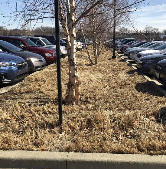
ROSS-ADE STADIUM NORTH PARKING LOT bmp type: bioretention
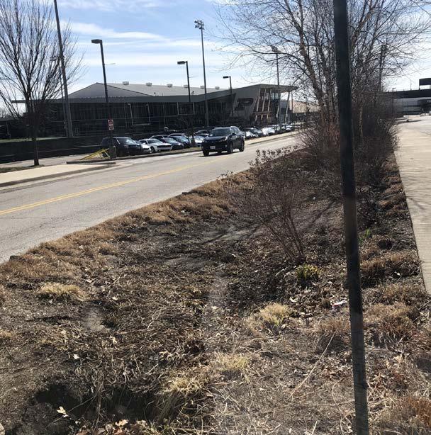

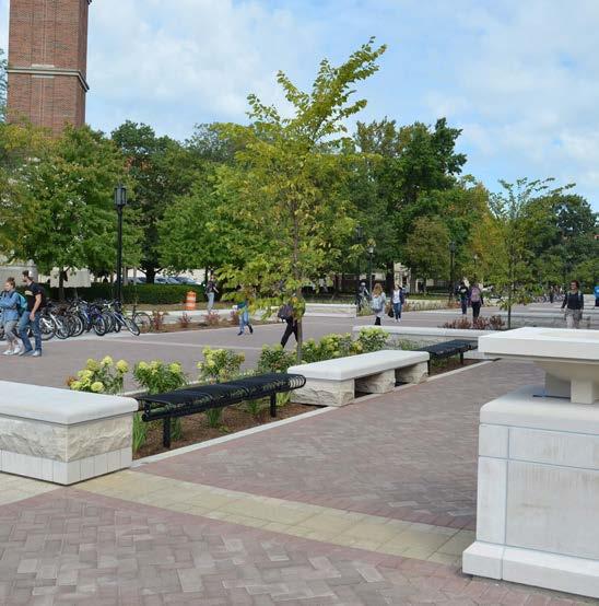
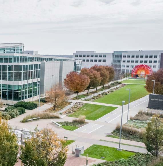
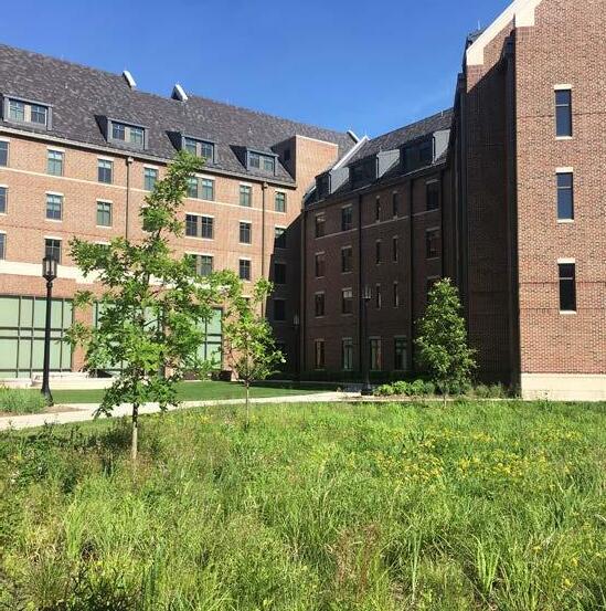
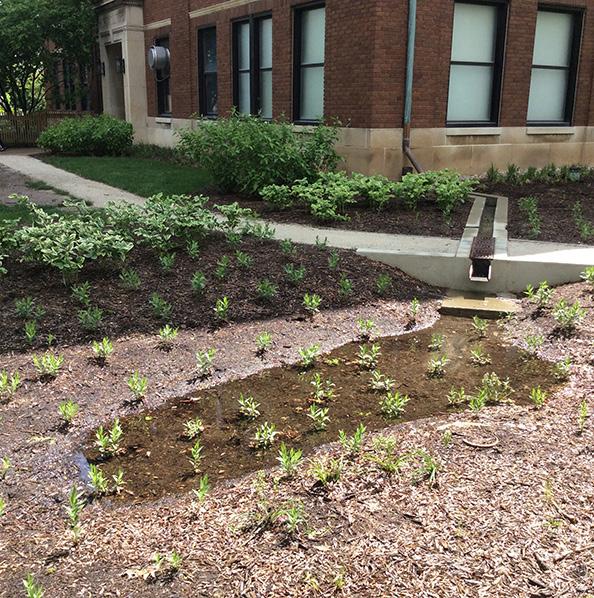

purdue university stormwater & open space study 26 27
MSEE PLAZA bmp type: bioretention
CENTENNIAL MALL bmp type: PERMEABLE PAVEMENT
discovery park bmp type: Vegetated swale
horticulture building bmp type: downspout disconnect
honors college residence halls bmp type: bioretention
stormwater best management practices
todd’s creek bmp type: Riparian corridor enhancement
Photo Credit: Purdue Marketing + Communications
Recognizing the importance of matching the stormwater BMP with the stormwater need of the site, this tool organizes the selected stormwater BMPs based on their ability to meet stormwater management and open space goals throughout campus. Given the purpose of the kit of parts as a high-level planning and communication tool, the goals are general and include: Reduce, Clean, Convey, and Enhance Habitat. Such an organization provides the University with an easily referenced selection tool when determining which BMP, or collection of BMPs, would be most appropriate for the stormwater management needs at a particular site. The stormwater needs for a site can be determined based on existing or ongoing stormwater analyses, requirements from the County Stormwater Ordinance, anecdotal evidence of stormwater
challenges at the site, or other priorities determined by the University. Using this tool, the University can narrow the BMP selection to those that would be appropriate to meet the need of the site. Further refinement follows through the use the Stormwater BMPs and Landscape Typologies Matrix and BMP cutsheets. If it is determined that a particular BMP is not appropriate during further refinement, planners may reference back to this tool to determine an alternative BMP that may achieve the same goals.
It should be noted that while this chart provides high level stormwater management objectives, the cut sheets provide more detailed assessments of each BMP’s functional value in meeting priorities of the County Stormwater Ordinance.
The stormwater bmp kit of parts includes best management practices most appropriate for Purdue University. Each BMP type has been categorized by its functional character: Reduce, Clean, Convey, and Enhance Habitat. The chart below narrows down the BMP selection to those that would be appropriate to meet the need of a given site on campus.
stormwater planter rainwaterharvesting&reuse
bioretention
purdue university stormwater & open space study 28 29
stormwater best management practices STORMWATER BMP FUNCTIONS
bmp
naelc yevnoc
LANDSCAPECONVERSIONSTORMWATERPLANTER RIPARIANCORRIDOR ENHANCEMENTSOILRESTORATION VEGETATED SWALE INFILTRATION BERM
SUBSURFACELANDSCAPECONVERSION INFILTRATION STORMWATERPLANTERRIPARIANCORRIDOR ENHANCEMENT SOILRESTORATION VEGETATED SWALE INFILTRATION BERM downspout disconnect
WETLAND SOILRESTORATION
PAVEMENT
enhance
reduce
habitat BIORETENTION CONSTRUCTEDWETLAND
BIORETETNION CONSTRUCTEDWETLAND
RIPARIANCORRIDORENHANCEMENT CONSTRUCTED
PERMEABLE
VEGETATEDSWALE LANDSCAPE CONVERSION INFILTRATIONBERM
SUBSURFACE INFILTRATION
INFILTRATIONBERM VEGETATEDSWALE SOILRESTORATION RIPARIANCORRIDOR ENHANCEMENT SUBSURFACE DETENTION CONSTRUCTED WETLAND
STORMWATER
BIORETENTION
STORMWATER BMP CUTSHEET INFORMATION
With a final group of BMPs that may be appropriate for a given site, the cut sheets will provide a more detailed selection tool for evaluating the appropriateness of each BMP. During the initial planning process, the University may reference the cut sheets to communicate general information regarding the components associated with the practice, its application on campus, broad design considerations, high level costs* and maintenance requirements, photos, and examples where the practice already exists on campus, if at all. This information is presented at a high level and is intended for planning purposes only. The cut sheets also provide a qualitative rating of each BMP’s functional value** in meeting the stormwater design objectives associated with the Tippecanoe County Stormwater Manual: Runoff Reduction Volume, Groundwater Recharge, Peak Flow Rate, and Water Quality***
Given the University’s focus on open spaces and creating green corridors, a qualitative metric associated with a BMP’s ability to enhance the ecological functioning of a site is included. Expanding upon the high-level information provided in the Stormwater BMP Functions Chart, the cut sheets also provide recommendations for BMPs that might complement one another and recommendations for alternative BMPs that may provide similar functions. This kit of parts equips the University with the information necessary to provide recommendations for BMPs for a particular project based on stormwater need, campus context, and parameters related to regulatory objectives, maintenance requirements, or potential co-benefits.
Cuts Sheets are included for the following BMPs:
bioretention
RAINWATER HARVESTING & REUSE
CONSTRUCTED WETLAND
PERMEABLE PAVEMENT
LANDSCAPE CONVERSION
SUBSURFACE DETENTION
SUBSURFACE INFILTRATION
STORMWATER PLANTER
RIPARIAN CORRIDOR ENHANCEMENT
NOTE:
*All costs are taken from Appendix D of the Tippecanoe County Stormwater Technical Standards Manual, 2016 unless otherwise noted.
**The stormwater design objectives: Habitat Value, Peak Rate, Groundwater Recharge, Runoff Reduction, and Water Quality have been rated on a scale of low, medium, and high values for each BMP type.
*** For purposes of this document, Total Suspended Solids (TSS) is used as a means of evaluating Water Quality; however, it is important to note that other Water Quality parameters are of interest to the County and the University.
SOIL RESTORATION
VEGETATED SWALE*
INFILTRATION BERM
DOWNSPOUT DISCONNECT
Variations:
Bioswales, Rain Gardens, Linear Swales (see also Vegetated Swales), and Street Tree Pits.
Components:
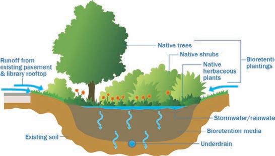
Inlet, shallow depressed planting bed with engineered soil media, native plants, overflow mechanism.
function:
Receive runoff from adjacent impervious surfaces, pool water in the depression, uptake water through plants, filter runoff, and infiltrate runoff into the subsoil.
Application:
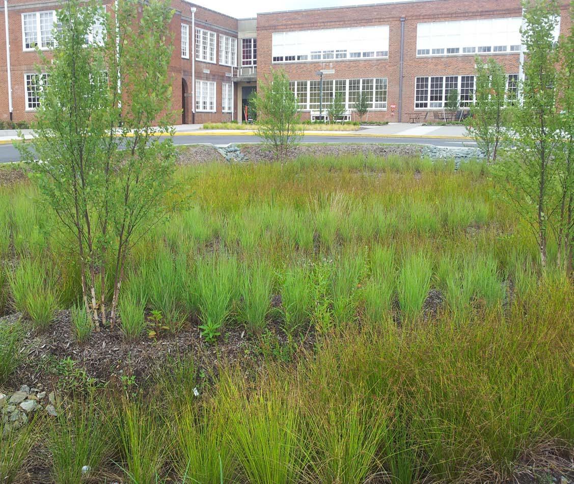
Bioretention is a functional landscape that consists of a shallow surface depression and specially engineered soil media with vegetation. Bioretention systems can be installed at a variety of scales depending on the site constraints and drainage area. Runoff is collected in an inlet or through surface flow and directed to the bioretention area where a combination of plants and soil media remove pollutants through adsorption, filtration, and sedimentation while infiltrating runoff into the subsoil. If subsoils do not allow for infiltration, underdrains may be used to collected treated runoff and direct it to the storm drain system. Practices may be manicured and confined if located in a conventional urban space or may have more natural aesthetic in a less dense environment. If infiltrating, bioretention can provide relief to existing conveyance systems within the watershed while also providing pollinator habitat and serving as a connection between natural and urban areas of campus.
Design Considerations:
Functional Value: Runoff Reduction Volume (medium/high), Groundwater Recharge (medium/high), Peak Rate (medium), Water Quality (high), Habitat Value (medium).
Drainage Area & Size: Bioretention area should be at least 20% of the impervious drainage area. Maximum drainage area is 1 acre.
Setback: Setback at least 10 ft. from building line.
Vegetation: Vegetation should be native species limited to one to three species in each bioretention practice to simplify maintenance.
Engineered Soil: The University has developed an engineered soil mix for bioretention areas, this should be utilized on all projects.
Wellhead Protection Area: Line with impermeable barrier and use underdrain if within wellhead protection areas.
Complementary BMPs:
Vegetated Swales, Permeable Pavement, Subsurface Storage, Subsurface Infiltration, Downspout Disconnect.
Alternative BMPs:
Vegetated Swales, Infiltration Berm, Permeable Pavement, Stormwater Planters.
Maintenance:
Most maintenance is necessary during the establishment period in years 1-3.
Vegetation Maintenance: watering, weeding, pruning. Sediment and debris removal should occur after large storm events.
Clean underdrains and other pipes at least once a year.
Construction Cost:
$5 - $7 per CF of stormwater storage
Examples on Campus:
Existing: MSEE building, CoRec Parking Lot.
Potential: Agriculture Mall, Lambert Field House Porch and Lawn.
purdue university stormwater & open space study 30 31
stormwater best management practices
BMP KIT OF PARTS
RAINWATER HARVESTING
Variations:
Above Ground Cisterns, Rain Barrels, Subsurface Storage Tanks.
Components:
Inlet/collection pipe, filter screen, storage component (cistern, barrel, tank, etc.), overflow, release mechanism, outlet pipe, pump (optional).
function:
Intercept runoff from an impervious surface, usually at a raised elevation (e.g. roof, parking garage, plaza) and store the water for reuse on site as greywater or irrigation.
Application:
Rather than treating stormwater as a waste product, rainwater harvesting captures and reuses this valuable resource. This practice is most often used in areas where there is a need for supplemental water for greywater or irrigation. Systems may vary from rain barrels collecting runoff from a residential building to highly engineered subsurface storage systems (See Subsurface Detention Systems) with pumping mechanisms. To reduce the need for pumping, practices should be sited up gradient of reuse locations and in areas where there is a need for irrigation. As a storage and reuse practice, rainwater harvesting provides the multiple benefits of reducing stormwater runoff and reducing potable water consumption in flushing and irrigation. It is applicable in locations where there is insufficient space or unsuitable soil conditions for more nature-based green infrastructure. Rainwater Harvesting also promotes educations opportunities and community engagement around stormwater.

Design Considerations:
Functional Value: Runoff Reduction Volume (high), Groundwater Recharge (low), Peak Rate (variable), Water Quality (medium), Habitat Value (low)
Drainage Area & Size: Should be sized based on water demand, but general rule of thumb is a 50-gallon rain barrel can provide storage for a 500 SF roof area.
Location: Use in areas with high water demand and locate storage unit up gradient of end water use to eliminate need for pumping.
Setback: Overflow should be setback at least 10 ft. from building line.
Covers/Lids: Should have a tight fit to keep out insects (mosquitos), surface water, and dust.
Wellhead Protection Area: Suitable in wellhead protection area.
Complementary BMPs: Downspout Disconnection, Subsurface Detention.
Alternative BMPs: Subsurface Detention, Subsurface Infiltration.
Maintenance: Remove debris from filter screens.
Cycle water regularly to prevent mosquitos. Release water before storm events to increase storage capacity.
Construction Cost:
Varies by size and complexity, general costs: Rain Barrel: $15 - $25 per CF of stormwater storage. Vertical Storage (Larger Structures): $7 - $12 per CF of stormwater storage.
Examples on Campus: Existing: None Potential: Nursing and Pharmacy Building
CONSTRUCTED WETLAND
Variations:
Pocket Wetlands, Shallow Wetlands, Extended Detention Wetlands, Pond Wetlands, Subsurface Gravel Wetlands.
Components:
Inflow, sediment forebay, wetland and emergent vegetation, embankment, high groundwater or impermeable liner, outlet structure.
function:
Capture, treat, and store runoff through a shallow marsh system with semi-permanent ponded water and emergent vegetation, which also provides habitat and aesthetic value.
Application:
As a functional landscape, constructed wetlands occupy relatively large spaces and may require a frequent source of inflow, shallow groundwater, or an impermeable liner as water is generally ponded. Constructed wetlands can be incorporated open spaces to capture runoff from large impervious areas associated with new or existing development. Online systems receive runoff from all size storms and treat to their design capacity while conveying overflow from larger storms and off-line systems receive only the water-quality design volume through an upstream diversion. It is also possible to retrofit existing stormwater basins into constructed wetlands to increase their treatment capabilities and ecological benefits. In addition to stormwater management and treatment, constructed wetlands provide considerable habitat value and can serve as uniquely natural aesthetic features on campus.
Design Considerations:
Functional Value: Runoff Reduction Water Volume (low), Groundwater Recharge (low), Peak Flow Rate (high), Water Quality (high), Habitat Value (high)
Drainage Area & Size: Drainage areas range from 10 acres to 50 acres but can be as small as 5 acres for pocket wetlands. Size is generally constrained by available space, but systems should be designed to treat at least the water quality volume from the drainage area.
Location: Given the size of this practice, constructed wetlands are generally located in more natural areas where there is sufficient space. Avoid the FAA protection zone where waterfowl pose a risk to air traffic.
Setback: Constructed wetlands should be located at least 10 ft. away from property line.
Soils: Constructed wetlands should be constructed with poor infiltrating soils or include an impermeable barrier to maintain water levels.
Vegetation: Vegetation consists of emergent and wetland species; selection must consider the hydrology design. See Appendix D of the Tippecanoe Stormwater Manual for recommended species.
Wellhead Protection Area: Recommend avoiding wellhead protection areas, unless lined with impermeable barrier.
Complementary BMPs: Vegetated Swales.
Alternative BMPs: Landscape Conversion, Bioretention.
Maintenance:
Inspect structures for clogging and debris at least 4 times per year and after storms greater than 1-inch.
Inspect and test wetland drain at least 4 times annually. Mowing and pruning of vegetation as necessary to maintain aesthetic and remove invasive species.
Construction Cost:
General costs:
$40,000 - $80,000 per acre plus 2% - 5% per year for maintenance
Examples on Campus:
Existing: None
Potential: Picket Park, Horticulture Park, Cherry Lane

purdue university stormwater & open space study 32 33
stormwater best management practices
note:
PERMEABLE PAVEMENT LANDSCAPE CONVERSION
*Pretreatment is necessary for total suspended solids (TSS) treatment.
**Area refers to the area of the subsurface reservoir below the surface.
Variations:
Porous Asphalt, Permeable Paver Blocks, Pervious Concrete, Reinforced Turf/Gravel.
Components:
Permeable surface, choker course, and usually combined with subsurface storage components such as coarse stone bed, and underdrain.
function:
Replaces a traditionally impervious paved surface with a permeable but structural alternative that allows infiltration into a storage area.
Application:
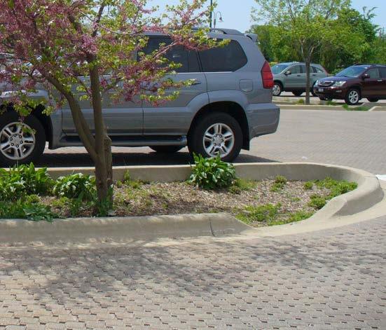
Permeable pavement maintains the function of traditional impervious areas such as sidewalks and parking lots while allowing runoff to infiltrate. Permeable pavement is most suitable in parking lots, walking paths, plazas, roadways, and sidewalks where the permeable material replaces all or a portion of the existing impervious surface. It is applicable to both new development and retrofit projects where a portion of a site’s pavement is being replaced. Permeable pavement is often combined with subsurface detention or infiltration systems consisting of stone aggregate, perforated pipes, or other structural storage units (see Subsurface Detention and Subsurface Infiltration). In areas such as plazas and courtyards, permeable pavement can provide aesthetic value through innovative and interpretive designs that connect the public with water. Alternatively, permeable pavement can be designed to blend in with existing pavement as in parking lots and sidewalks where a consistent aesthetic is preferred.
Design Considerations:
Functional Value: Runoff Reduction Volume (high), Groundwater Recharge (high), Peak Rate (medium/high), Water Quality (high) , Habitat Value (low).
Type: Type of permeable surface should be consistent with the function of the space, with porous asphalt more appropriate for parking lots, pervious concrete more appropriate for sidewalks, and permeable block pavers more appropriate for walkways and plazas. The University favors clay pavers over concrete pavers.
Size: The infiltration area** should be at least 20% of the impervious drainage area.
Location: Use in areas with existing hard surfaces but low sediment load and relatively low traffic.
Metrics: Permeable surface with 2.5 ft. deep subsurface system manages at least 1 CF or 7.48 gallons of runoff.
Outflow: To ensure proper functioning, the systems must include a mechanism such as an underdrain that daylights or connects to an existing storm drainage system.
Wellhead Protection Area: Line with impermeable barrier if sited within wellhead protection area.
Complementary BMPs:
Vegetated Swales, Subsurface Detention, Subsurface Infiltration, Bioretention.
Alternative BMPs:
Soil Restoration, Subsurface Detention, Subsurface Infiltration.
Maintenance:
Vacuum twice a year with a commercial cleaning unit. Stabilize any soil or landscaped areas upstream of the permeable surface.
Construction Cost:
The below costs are for permeable surfaces only, not the subbase, for the subsurface storage/infiltration components see Subsurface Storage/Infiltration:
Porous Asphalt: $4 - $5 per SF.
Pervious Concrete: $4 - $6 per SF.
Permeable Paver Blocks: Costs vary depending on style and type.
Examples on Campus:
Existing: Centennial Mall, Stadium Mall, Band Practice Field, State Street Walk.
Potential: Third Street Closure, Nursing and Pharmacy Campus.
Variations/components:
Native plantings, reforestation, low maintenance plantings.
function:
Replaces a highly maintained landscape with species that are more desirable from a stormwater quality perspective to slow and filter runoff.
Application:
Landscape conversion is the practice of converting highly maintained landscaped areas such as turf grass to native prairie and woodland species to reduce runoff and improve the quality of the site. Revegetation with native plants achieves stormwater management goals by slowing and filtering runoff, modifying soils through root growth, and through interception, evapotranspiration, and the addition of organic matter. Since native species are well adapted to local climatic and soil conditions, landscape conversion reduces maintenance requirements associated with mowing and irrigation, while also reducing the need for chemical fertilizers and pesticides, which improves water quality. Recognizing that turf grass holds an important function on campus, landscape conversion should be targeted in areas that are not currently programmed and those that have steep slopes that currently result in high runoff. Landscape conversion also enhances pollinator habitat and can help the University meet the goals in the 1869 Tree Plan. Many resources are available through the University’s Cooperative Extension.

note:
*From Appendix D of the Tippecanoe County Stormwater Manual, 2016.
**Cost savings are often realized for long term reduction in maintenance on the order of $2,000 - $3,000 per acre.
Design Considerations:
Functional Value: : Runoff Reduction Volume (varies), Groundwater Recharge (varies), Peak Rate (low/medium), Water Quality (high), Habitat Value (High).
Type: Prairie Meadow, Woodland, Wetland, No-Mow Lawn –typical species below include:
*Meadow Species: Buffalo Grass, Pale Purple Coneflower, Compass Plant, Prairie Dropseed, Purple Prairie Clover, Indian Grass, Showy Sunflower, Side Oats Gramma, Prairie Dock, Kentucky Blue Grass.
Woodland Species: Red Maple, Serviceberry, Silky Dogwood, Tulip Tree, Pin Oak, Buttonbush (See 1869 Tree Plan for more species).
Growth: It may take up to 3 years for prairie plantings to become aesthetically pleasing and more for woodland restoration areas.
Drainage Area & Size: The optimal landscape conversion area is 20% of the drainage area and the minimum landscape conversion area is 5% of the drainage area.
Location: Areas with low programmatic value but high buffer capacity.
Wellhead Protection Area: Suitable in wellhead protection areas.
Complementary BMPs:
Vegetated Swales, Bioretention, Infiltration Berms, Permeable Pavement.
Alternative BMPs:
Bioretention, Constructed Wetlands, Soil Restoration.
Maintenance:
Initial maintenance routine is necessary for first 2-3 years and up to 5 years for woodland.
Control of weeds and other invasive species until plantings establish.
For prairie systems, low mowing or burning approximately 2 years.
**Construction Cost: Prairie and Woodland Understory Installation: $1,000 - $2,500 per acre Bare Root Tree Installation: $1,800 - $2,600 per acre
Gallon-potted Native Perennial: $10 - $20 per plant
Plug-sized Native Perennial: $2.50 - $4.50 per plant
Examples on Campus:
Existing: First Street Towers, Peterson Prairie Potential: Slayter Hill, Agriculture Mall, Smith Hall and Lily Hall Lawns.
purdue university stormwater & open space study 34 35
stormwater best management practices
Variations
SUBSURFACE DETENTION SUBSURFACE INFILTRATION
Tanks, Chambers, Pipes, Vaults, Coarse Aggregate.
components:
Inlet, storage component (chambers, perforated pipes, vault, coarse aggregate), liner, outlet control structure.
function:
Capture and store runoff from adjacent impervious surfaces in underground structures.
Application:
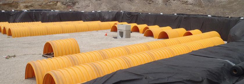
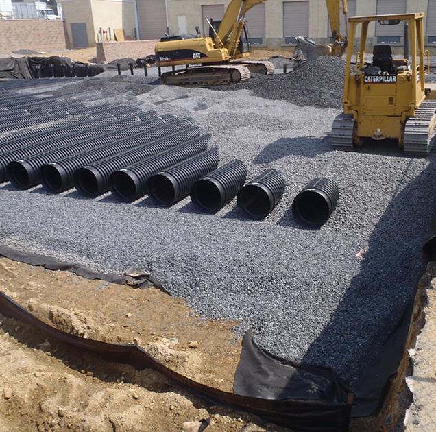
Subsurface detention systems consist of an excavated area that is backfilled with storage components in the form of stone aggregate, pipe, chambers, or tanks, which are used to hold runoff during storm events. An outlet control structure is used to control the flow through the system and meet the stormwater management goals. These systems are comparable to subsurface infiltration systems, except that they do not infiltrate runoff. This makes them applicable in most campus contexts since they are permissible in wellhead protection areas, suitable in low infiltration soils, and can be placed below surface features such as lawn, parking, sidewalk, or other landscaping. Subsurface detention systems may be considered when repairing, retrofitting, or constructing the drainage systems for impervious areas where peak flow reduction is the objective and there is limited above ground space. While they are widely applicable, subsurface detention systems alone should be considered as a last resort BMP since they provide few co-benefits and little runoff volume, water quality, or habitat value. It is possible to integrate subsurface detention systems with other BMPs such as bioretention, permeable pavement, and harvesting and reuse to enhance overall BMP system function.
Design Considerations:
Functional Value: Runoff Volume Reduction (low), Groundwater Recharge (none or low), Peak Flow Rate (high), Water Quality (low), Habitat Value (low).
Outlet Control Structure: Configuration determines peak flow reduction performance.
Location: Systems should be located in relatively flat areas and downgradient of developed areas of a site.
Wellhead Protection Area: High suitability in wellhead protection areas.
Complementary BMPs:
Bioretention, Permeable Pavement, Downspout Disconnection.
Alternative BMPs: Subsurface Infiltration
Maintenance:
Sediment removal is the primary activity and necessary to reduce clogging in the system.
All basin structures (inlets, storage component, outlets, basin bottom) should be inspected and maintained at least 4 times annually.
Outlet drain should be tested at least 4 times annually.
Maintenance may require confined space training.
Construction Cost:
Varies based on complexity of design.
Propriety high capacity storage systems are approximately $8 – $10 per CF whereas systems using aggregate would be less expensive but require a larger surface area.
Examples on Campus:
Existing: State Street, Stadium Avenue, Discovery Park. Potential: All new development after other BMPs have been eliminated.
Variations
Dry Wells, Infiltration Trenches, Infiltration beds.
components:
Inlet, storage component (chambers, perforated pipes, coarse aggregate), geotextile liner, outlet control structure.
function:
Capture and store runoff from adjacent impervious surfaces in underground structures and infiltrate across bottom of the practice.
Application:
Subsurface infiltration systems consist of an excavated area that is backfilled with storage components in the form of stone aggregate, pipes, or chambers, which are used to temporarily store runoff during storm events while infiltrating into the soil below. Similar to subsurface detention systems, subsurface infiltration systems are widely applicable since they preserve the function of the above ground space, which can be maintained as parking, roadway, athletic fields, plazas, or pathways. This makes them suitable in nearly all new construction and in repairs or retrofits where excavation is already occurring. Although they are widely applicable, it is recommended that subsurface infiltration is integrated with other surface BMPs such as bioretention and permeable surfaces to encourage public interfacing with stormwater BMPs and provide the aesthetic benefits of the surface features.
Design Considerations:
Functional Value: Runoff Volume Reduction (high), Groundwater Recharge (high), Peak Flow Rate (high), Water Quality (high), Habitat Value (low).
Drainage Areas:
Maximum Drainage Areas:
Dry Well: 1 acre
Infiltration Trench: 2 acres
Infiltration Bed: 5 acres
Location: Systems should be located in relatively flat areas, downgradient of developed areas of a site.
Setback: At least 10 ft. from property lines and building foundations.
Pretreatment: Inlets should be fitted with pretreatment mechanisms to reduce sediment loads which will clog the infiltrations system.
Outlet Control Structure: Convey overflow from large storms to existing stormwater system or additional BMP and provide peak flow reduction.
Wellhead Protection Area: Not suitable in wellhead protection areas.
Complementary BMPs:
Bioretention, Permeable Pavement, Downspout Disconnection.
Alternative BMPs: Subsurface Detention
Maintenance:
Sediment removal is the primary activity and necessary to reduce clogging in the system.
All inlets should be inspected and cleaned at least 2 times per year.
Pretreatment structures should be cleaned at least 2 times per year and after storms greater than 1-inch.
Maintenance may require confined space training.
Construction Cost:
Dry Well: $6 - $12 per CF plus 5% - 10% for maintenance
Infiltration Trench: $23 - $35 per CF plus 5% - 10% for maintenance
Infiltration Bed: $13 per CF
Examples on Campus:
Existing: None
Potential: All new development after other BMPs have been eliminated.
purdue university stormwater & open space study 36 37
stormwater best management practices
note:
STORMWATER PLANTERS RIPARIAN CORRIDOR ENHANCEMENT
*Infiltrating Planter Boxes perform more like Bioretention, see Bioretention section. This section focuses on Contained and Flow Through.
**Based on 2009 Stormwater Master Plan costs
Variations
Contained, Flow-through, and Infiltration*
components:
Structure, inlet, planting media, vegetation, overflow mechanism.
function:
Captures runoff from adjacent impervious surfaces, usually rooftops, and stores and filters the runoff through a planted soil media.
Application:
A stormwater planter box or bed is a structural variation of bioretention, usually formed by concrete, brick or wood, that can be built into the façade of a building or free standing and located immediately adjacent to a building or other structure. They are typically used in conjunction with downspout disconnection (see Downspout Disconnection). Runoff from roof downspouts or other conveyance is collected on the surface of the planters filtered through the soil media and taken up by the plants. Contained planter boxes have weep holes that allow water to exit the bottom of the practice, ultimately discharging to the surrounding area. Flow-through planters are contained and have a perforated underdrain that connects to the existing storm system. Infiltration planters more closely resemble bioretention (see Bioretention) and infiltrate into the subgrade. Given their size, stormwater planter boxes are an ideal application in more urban settings and can enhance the landscape around buildings while also reducing irrigation needs associated with such spaces. Stormwater planters may provide an adaptable strategy for connecting green spaces in dense urban settings.
Design Considerations:
Functional Value: Runoff Volume Reduction (low/medium), Groundwater Recharge (low/medium), Peak Flow Rate (low), Water Quality (medium), Habitat Value (medium).
Drainage Area & Size: Maximum drainage area is 15,000 SF.
Location: Adjacent to buildings, parking garages or other structures.
Setback: If lined, no setback is necessary. If unlined, at least 10 ft. setback is necessary.
Soil Depth: 12” – 36” deep.
Structure: Wood, Brick, or Concrete.
Wellhead Protection Area: Suitable in wellhead protection areas if not Infiltrating type.
Complementary BMPs: Downspout Disconnection.
Alternative BMPs: Bioretention, permeable pavement.
Maintenance:
Requirements that are typical of landscaped areas. Irrigation is reduced but still necessary during periods of dry weather.
**Construction Cost:
Range based on complexity of design. Given the small volumes of stormwater management, the cost per volume of stormwater managed tends to be higher than other BMPs.
Infiltration Planter Box: $30 per SF
Flow-through Planter Box: $41 per SF
Examples on Campus: Existing: MSEE Plaza
Potential: Band Building, Third Street Temporary Closure.
Variations
Floodplain Connection, Riparian Buffer Plantings, Daylighting, Outfall Treatment.
components:
Stream channel, stream banks, floodplain, riparian vegetation, boulders, woody material.
function:
Restores the natural dynamic hydrology and diverse habitat to improve overall health and function of stream corridors and floodplains.
Application:
Stream enhancement targets existing degraded streams, stormwater channels, and potentially piped underground networks to restore a more natural flowpath with woody material, boulders, and native vegetative buffers along the corridor. A healthy stream corridor provides floodplain storage, which decreases erosive forces within the stream, filtering of runoff through riparian buffer vegetation, shading for reducing water temperatures, and habitat for native plants and animals. During large storms, flood waters will expand on the associated floodplains, the water slows, and silt settles out. Some water seeps into the ground, being filtered along the way through plant roots and soils, and eventually feeding groundwater. The vegetative riparian buffer not only filters runoff but it can serve a connection with the University’s natural resources in campus spaces such as greenways, walking paths, and playing fields.
Design Considerations:
Functional Value: Runoff Volume Reduction (low/medium), Groundwater Recharge (low/medium), Peak Flow Rate (low/ medium), Water Quality (medium/high), Habitat Value (high)
Size: The riparian buffer area should be 5% to 20% of the drainage area.
Size: The riparian buffer area should be 5% to 20% of the drainage area.
Zones:
Zone 1: Streamside vegetated zone that extends 25 ft. from the edge of the stream bank and protects the integrity of the stream.
Zone 2: Extends at least 55 ft. from Zone 1 and consists of native trees and shrubs that provide habitat and filter runoff.
Zone 3: Extends 20 ft. from the edge of Zone 2 and consists of native woody and herbaceous species that filter runoff and prevent encroachment into the riparian zone.
Wellhead Protection Area: Suitable in wellhead protection areas.
Complementary BMPs: Vegetated Swale, Constructed Wetland, Landscape Conversion.
Alternative BMPs: Landscape Conversion (if in riparian zone)
Maintenance:
Maintenance is most critical during the first 3 to 5 years to establish canopy closure.
Plantings will require regular watering during the first growing season.
Invasive species and herbivory should be controlled for to allow for planting establishment.
Maintain (leave) debris such as logs from fallen trees, which provide habitat and hydrological benefits.
Construction Cost:
Range based on complexity of design but involves site preparation, planting, and maintenance.
Examples on Campus:
Existing: Todd’s Creek
Potential: Todd’s Creek, Picket Park, Gold Intramural Fields
purdue university stormwater & open space study 38 39
stormwater best management practices
Variations
SOIL RESTORATION VEGETATED SWALE
Decompaction, soil amendments.
components:
Existing soil, soil amendments.
function:
Enhances and restores soils to increase infiltration, water retention, and improve overall soil health.
Application:
Soil restoration is the physical alteration of an existing soil to promote its stormwater management capacity, create suitable conditions for beneficial microbial activity, and to support a healthy vegetative community. This practice is applicable in areas where the underlying soil has undergone compaction as a result of construction, programming, vehicular traffic or other uses. There are generally two approaches to soil restoration, tilling and soil amendments. Tilling, or subsoiling, breaks up the compacted layers of the soil and subsequently soil amendments are added to enhance soil characteristics. Soil amendments can include organic media such as compost or inorganic media such as sand and pea gravel. This BMP is widely applicable and requires relatively little construction to implement, which makes it a low-profile approach to stormwater management.
Design Considerations:
Functional Value: Runoff Volume Reduction (medium), Groundwater Recharge (low), Peak Flow Rate (medium), Water Quality (high), Habitat Value (medium).
Location: Avoid drip line of trees, shallow subsurface utilities, and where compaction is intentional.
Depth: Decompaction should ensure that it is to the full depth of compaction (usually 20 inches).
Decompaction Equipment: No disc cultivators, chisel plows, rippers.
Soil Amendments: Compost, sawdust, woodchips, perlite, pea gravel sand.
Wellhead Protection Area: May not be suitable in wellhead protection zones if infiltrating.
Complementary BMPs:
Vegetated Swale, Downspout Disconnection, Landscape Conversion.
Alternative BMPs: Permeable Pavement.
Maintenance:
Soil restoration may need to be repeated over time. Avoid use of heavy vehicles and machinery on restored soils.
Construction Cost:
Tilling: $940 - $1,175 per acre
Compost: $1,000 – $1,175 per acre Other soil amendments vary greatly in cost
Examples on Campus:
Existing: Hanley Hall, Birck Nanotechnology Center. Potential: Future construction sites

Variations
Bioswale, Swale with Infiltration Trench, Grass Swale, Wetland Swale.
components:
Soil media, vegetation, structures (optional - check dams, wood, rock), subbase (optional), underdrain (optional).
function:
Collect, convey, filter and infiltrate runoff from adjacent impervious areas.
Application:
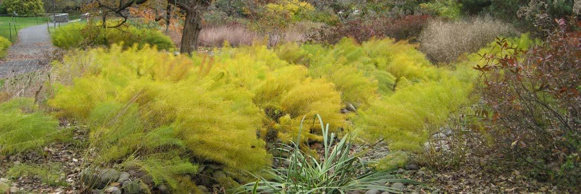
Vegetated swales are a variation of bioretention that consist of shallow uncompacted earthen channels that slow and filter runoff from adjacent impervious areas such as roads, parking lots, and plazas and serve as an alternative to curb and gutter systems. While the level of construction can vary, vegetated swales can be as simple as hand excavated 2 ft. wide and 4 in. deep channels with vegetation, which make them relatively versatile. By adding check dams such as rock, wood or concrete, it is possible to detain additional water and promote infiltration to enhance stormwater management goals. These practices can be used as a pretreatment for other BMPs such as larger bioretention systems, infiltration basins, and permeable pavement, which will increase the life of the entire BMP train. Vegetated swales are most appropriate where there are linear open spaces adjacent to existing impervious areas. They can serve as a subtle ecological connection between dense urban areas and more native landscapes on campus by tying together roads and sidewalks with natural areas.
Design Considerations:
Functional Value: Runoff Volume Reduction (low/medium), Groundwater Recharge (low/medium), Peak Flow Rate (low/medium), Water Quality (medium/high), Habitat Value (medium)
Drainage Area: Maximum drainage area is 5 acres.
Size: Bottom widths range from 2 ft. to 8 ft., depth may be up to 1.5 ft., and the side slopes should be within the range of 3:1 to 5:1.
Vegetation: Vegetation should be native water tolerant species and complement surrounding landscaped areas.
Wellhead Protection Area: Suitable in wellhead protection areas if not infiltrating.
Complementary BMPs:
Bioretention, Landscape Conversion, Permeable Pavement, Subsurface Infiltration, Subsurface Detention.
Alternative BMPs:
Bioretention, Infiltration Berms.
Maintenance:
Irrigation is necessary during plant establishment and during periods of drought.
Newly planted swales must be stabilized. Annually mow and trim vegetation.
Construction Cost:
Seed: $7 - $13 per linear foot
Sod: $22 - $30 per linear foot
Examples on Campus:
Existing: Discovery Park
Potential: Stadium Parking Lot, Agriculture Mall
purdue university stormwater & open space study 40 41
stormwater best management practices
Variations
INFILTRATION BERM DOWNSPOUT DISCONNECT
Diversion, Meadow, Woodland.
components: Soil, vegetation.
function:
Temporarily store, divert and infiltrate runoff.
Application:
Infiltration Berms are linear vegetated features easily incorporated into landscapes along contours of existing, moderately sloped sites. The practice generally consists of small vegetated earthen embankments with sloping sides, which create slight depressions that collect stormwater as it ponds uphill of the berm. This slows the water, allows it to infiltrate, and reduces erosion on slopes by limiting concentrated flows. Berms can be installed in manicured landscaped areas, or in heavily wooded areas. In addition to stormwater management, berms may also provide aesthetic value to relatively flat landscapes. This makes them particularly applicable in campus areas such as landscaped malls, greenways, and landscaped plazas adjacent to roads or other undesirable land uses. An infiltration berm can be situated at the interface of more developed pathways and natural areas to provide a transition between the two campus spaces.
Design Considerations:
Functional Value: Runoff Volume Reduction (low/medium), Groundwater Recharge (low/medium), Peak Flow Rate (medium), Water Quality (medium/high), Habitat Value (medium).
Drainage Area: Maximum drainage area is 5 acres. Length of berm is generally 400 LF per acre of drainage area. Many smaller (< 2 ft. in height) berms is preferable over fewer larger berms. Preferred side slopes are 4:1 and should not exceed 2:1.
Location: Parallel to contours at a constant level elevation.
Vegetation: Both woody and herbaceous species are suitable, see Recommended Plant List in Appendix D of the Tippecanoe County Stormwater Manual. Vegetation selection should match surrounding landscape.
Wellhead Protection Area: Not suitable in wellhead protection area.
Complementary BMPs: Landscape Conversion.
Alternative BMPs: Bioretention, Vegetated Swales.
Maintenance:
Regularly check that berm is infiltrating (surface drawdown should not exceed 48 hours).
Maintain mowing, pruning, and invasive species control. Inspect for erosion and repair as necessary.
Construction Cost: Range based on complexity of design.
Examples on Campus:
Existing: Along Slayter Hill parking lot. Potential: Slayter Hill

Variations
Internal or External.
components:
Roof drain, roof leader/downspout.
function:
Divert runoff from rooftops to existing landscaped areas or proposed BMP.
Application:
Downspout disconnection consists of removing the connection between a roof leader (downspout) and the site’s existing drainage system and therefore removing the associated runoff from the storm drain system. While downspout disconnection is often combined with many of the BMPs in this kit of parts, it can also exist on its own. External roof leaders (i.e. drains from gutters along the outside of buildings) can be cut off near ground level and redirected to existing vegetated areas such as gardens, lawns, or wooded lots. In all cases, it should be ensured that the receiving area has a suitable overflow to an existing drainage system. Internal drains can be diverted to collection systems within the building and used for non-potable uses (see Rainwater Harvesting and Reuse). This technique is most easily applied during new construction as the roof drainage can be designed as disconnected; however, external roof leaders can be easily retrofit during buildings repairs if there is an existing receiving area nearby. Downspouts are most often disconnected and rerouted to bioretention, rainwater harvesting systems, subsurface storage, subsurface infiltration, and stormwater planters.
Design Considerations:
Functional Value: Runoff Volume Reduction (high), Groundwater Recharge (variable), Peak Flow Rate (high), Water Quality (low), Habitat Value (low).
Building Setback: Disconnected downspouts should discharge at least 10 ft. away from the building line to an area that slopes away from buildings.
Erosion Control: Energy dissipators such as gravel should be installed at the outlet to reduce erosion.
Wellhead Protection Area: Suitable in wellhead protection if not infiltrating.
Complementary BMPs:
Bioretention, Vegetated Swales, Rainwater Harvesting/Reuse, Subsurface Detention, Subsurface Infiltration, Stormwater Planter Box, Landscape Conversion.
Alternative BMPs: Rainwater Harvesting/Reuse.
Maintenance:
Regular maintenance should ensure that the outlet is not clogged
Check for erosion around outlet and add erosion control or regrade as necessary.
Construction Cost:
Cost varies based on complexity of design, but the cost of a simple disconnect is relatively minimal when incorporated into a larger repair or construction project.
Examples on Campus:
Existing: Horticulture Building
Potential: All new buildings and existing buildings with external downspouts.

purdue university stormwater & open space study 42 43
stormwater best management practices
APPLYING STORMWATER BMPS TO LANDSCAPE TYPOLOGIES
With an understanding of the site’s particular stormwater and open space needs, this tool aids the University in selecting appropriate stormwater BMPs for the given site context. Considerations for determining the appropriateness for each landscape typology includes space constraints, programmatic uses, traditional surfacing, and aesthetics. Through this process, planners can further narrow the field of potential BMPs for a project and communicate how the selected BMP will not only meet the stormwater goals of the site but also fit within its context.

NOTE:
*Vegetated swales may be considered in place of bioretention when infiltration is not a desired function. An example of where this may occur on Purdue’s campus is within the wellhead protection zones.
bioretention
RAINWATER HARVESTING & REUSE
CONSTRUCTED WETLAND
PERMEABLE PAVEMENT
LANDSCAPE CONVERSION
SUBSURFACE DETENTION
SUBSURFACE INFILTRATION
STORMWATER PLANTER
RIPARIAN CORRIDOR ENHANCEMENT
SOIL RESTORATION
VEGETATED SWALE*
INFILTRATION BERM
DOWNSPOUT DISCONNECT
LANDSCAPE CHARACTER LANDSCAPE typology
native urban
malls & links
Parks & quads
plazas & Porches
building entries
building yards & Foundations
building
Roofs
Back of House/ Service surface
parking lots
gardens streets
recreation & Intramural athletics
green belt intercollegiate athletics
riparian
purdue university stormwater & open space study 44 45
stormwater best management practices
Photo Credit: Purdue Marketing + Communications
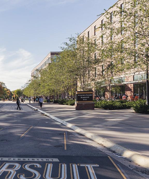
Varying landscapes across Purdue University’s campus have been selected for stormwater BMP implementation. The overlap of capital projects and open space priorities from the Giant Leaps Masterplan with stormwater problems identified on campus, allows us to define geographic focus areas. Focus areas highlight potential projects to solve the university’s stormwater problems as they work to build out their identified capital projects. This provides a multi-solution approach for applying BMPs at Purdue.
purdue university stormwater & open space study 47
FOCUS AREAS
Photo Credit: Rebecca McElhoe/Purdue University
APPLYING STORMWATER BMPS TO OPEN SPACE PROJECTS
FOCUS AREA INPUTS FOCUS AREA LIMITS
Multi-solution approach
Using the guiding principles of this document, the stormwater BMP kit of parts may be applied using a multi-solution approach. By understanding where existing stormwater management issues occur in conjunction with priority and capital spaces, we can define where to best apply the kit of parts. The focus area limits have been established by layering the extents of priority open space and capital projects that can be influenced by the kit of parts. The listed focus areas (1-20) have been selected out of these extents to mitigate existing stormwater problems and provide guidance for university cso goals. The framework for landscape character and the stormwater BMP kit of parts may be used in these areas to apply stormwater best management practices across campus.



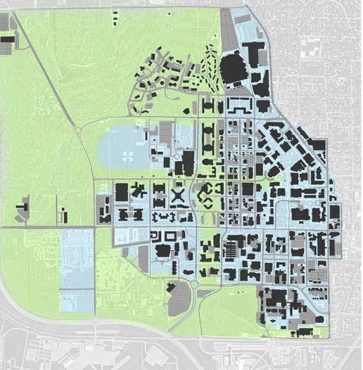
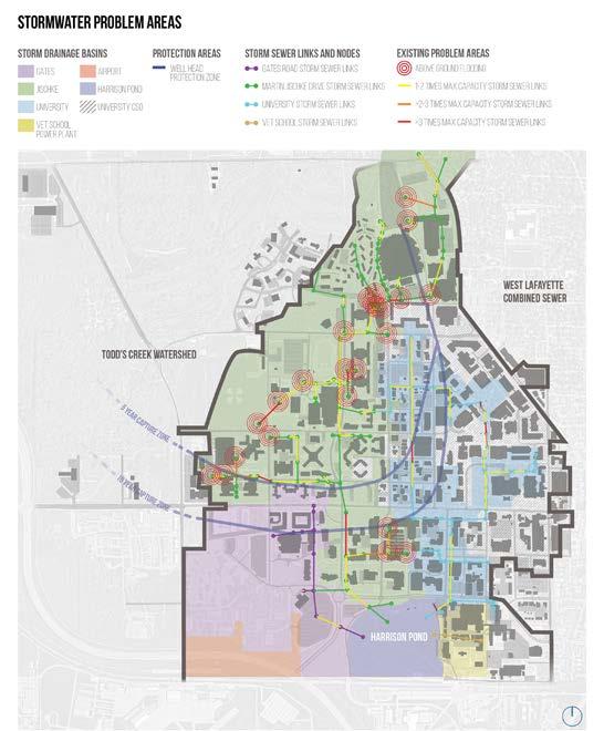
Focus areas have been established in stormwater problem areas that overlap with capital and priority open space projects at Purdue University. Within each focus area the framework for landscape character and stormwater problems area maps guide the application of the stormwater BMP kit of parts.
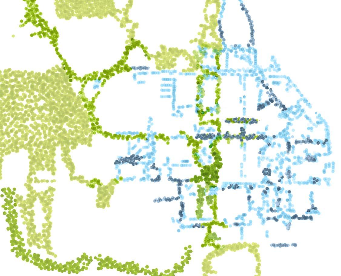
Note: Refer to Campus Sewer Modeling Study for Purdue University (2023) for recommendations for priority projects.
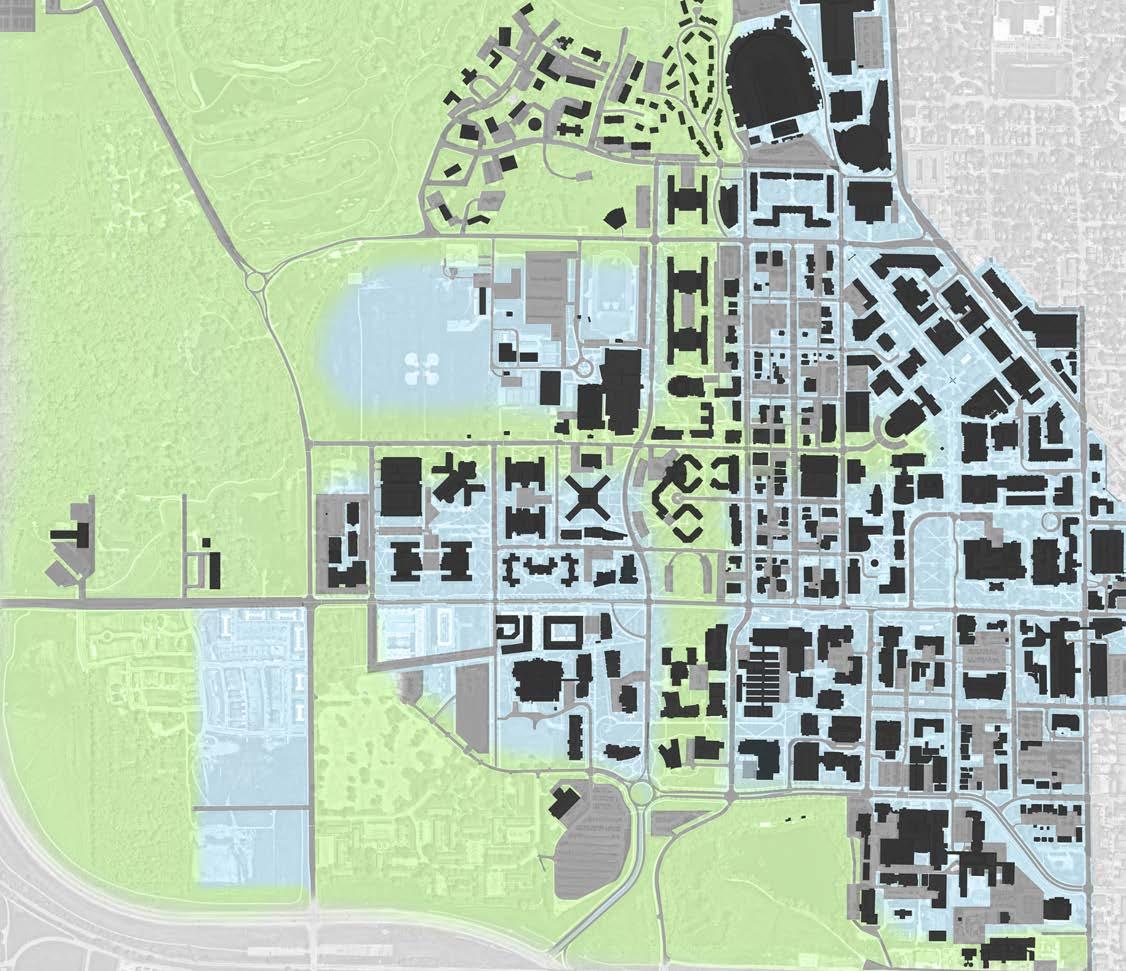

a framework for CAMPUS landscape character purdue university stormwater open space study Native landscapes are natural in character; managed by natural processes, or maintained to preserve the natural environment. These landscapes are located in the undeveloped land around campus, and within the adapted woodland canopy that flows through Purdue’s densely developed spaces. Sacred native landscapes are located within Purdue University’s most natural and well preserved spaces. The urban landscape occurs in environments that have been interrupted and tailored to enhance the character and functionality of development. Conventional landscapes are located among many of Purdue’s building and open space developments. Sacred urban landscapes are located within Purdue University’s most traditional spaces. urban landscape Sacred Cary quad purdue mall Hovde Hall entry bell tower garden memorial mall memorial union lawn stewart woods mccormick woods slayter hill duhme woods native landscape sacred (within stone wall)(within oval drive) 10yearcapturezone 5yearcapturezone purdue university stormwater & open space study 48 49
CAMPUS SEWER MODELING STUDY FOR PURDUE UNIVERSITY focus areas
1. 2. 3. 4. 5. 6. 7. 8. 9. 10. 12. 13. 16. 14. 15. focus area limits campus sewer modeling study priority projects (2023) focus areaS 1. third street - west 2. third street - east 3. Martin jischke - north 4. martin jischke - south 5. ross-ade stadium - south 6. waldron street - north 7. waldron street - south 8. academy park 9. memorial mall 10. marsteller street - north 11. marsteller street - south 12. agriculture mall 13. university street - south (a) 14. university street - south (b) 15. health and life sciences mall 16. nursing and pharmacy building 11.
FOCUS AREA DIAGRAMS - STORMWATER BMP APPLICATIONS FOCUS AREA DIAGRAMS - MASTER LEGEND
The following pages introduce the existing conditions, stormwater problems, and proposed bmp application of each focus area.
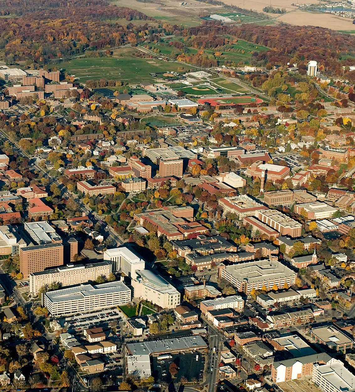

bioretention
RAINWATER HARVESTING & REUSE
CONSTRUCTED WETLAND
PERMEABLE PAVEMENT
LANDSCAPE CONVERSION
SUBSURFACE DETENTION
SUBSURFACE INFILTRATION
STORMWATER PLANTER
RIPARIAN CORRIDOR ENHANCEMENT
SOIL RESTORATION
VEGETATED SWALE
INFILTRATION BERM
DOWNSPOUT DISCONNECT
purdue university stormwater & open space study 50 51
focus areas
Photo Credit: Purdue Marketing + Communications gates road storm sewer links martin jischke drive storm sewer links University Storm sewer links vet school storm sewer links above ground flooding 1-2 times max capacity storm sewer links >2-3 times max capacity storm sewer links >3 times max capacity storm sewer links storm sewer links and nodes problem areas gates jischke university vet school power plant airport harrison pond university cso storm drainage basins existing stormwater problem areas legend stormwater
legend existing/planned site elements proposed bmp types: stormwater bmp functions existing trees existing buildings capital buildings existing streets existing paths enhance bmp reduce naelc yevnoc habitat
solutions
THIRD STREET - EXISTING CONDITIONS
Description:
Purdue University’s Third Street is as a major street and priority open space that spans from McCormick Road at the West to Elliott Hall of Music at the East. There is varying landscape typology and character along this street – the western segment is more native in character, while the eastern is more urban. This link has the unique opportunity to promote connectivity between these varying campus landscapes, while also solving existing stormwater problems. The current landscape design of 3rd Street East has been incorporated into this focus area to highlight stormwater BMPs.

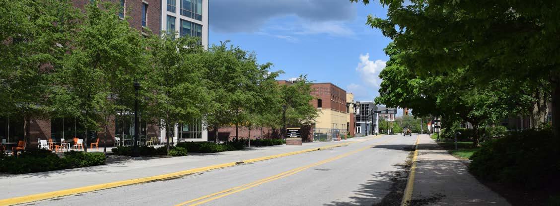

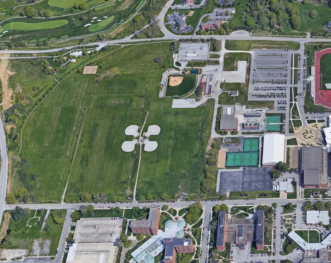


purdue university stormwater & open space study 52 53
3rd street
focus areas
3rd street
THIRD STREET - STORMWATER PROBLEM AREAS
problem areas identified:
Above ground flooding
• SE intramural gold playing field
Undersized pipe segments
storm drainage basin:
• Jischke

Wellhead protection area:
• Within protection area

problem areas identified: Undersized pipe segments
storm drainage basin:
• Jischke
• Univeristy
• University CSO
Wellhead protection area:
• Within protection area
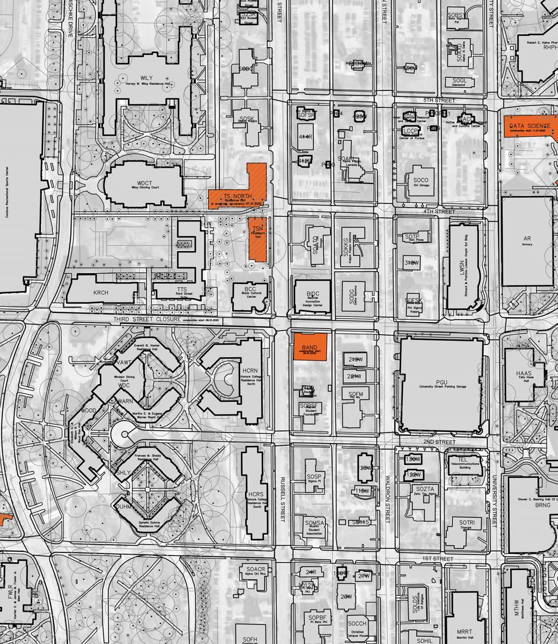


purdue university stormwater & open space study 54 55
focus areas
3RD STREETeast 3RD STREETwest
THIRD STREET - PROPOSED BMP APPLICATIONS
• Replace on-street parking with bioswales.
• Use landscape conversion in adjacent yards and foundations.
• Integrate bioretention in appropriate yards.
• Use constructed wetlands at SE intramural gold field.
• Use vegetated swales between street and intramural gold fields.
• Potential to restore Todd’s Creek Connection.


• Bioretention planters coordinated with current
• Downspout disconnects into bmps at Band Building.
• Permeable pavements in street.
• Landscape conversion of adjacent yards as appropriate.


purdue university stormwater & open space study 56 57 SELECTED BMP types: Bioretention Landscape conversion CONSTRUCTED WETLAND VEGETATED SWALE BMP Implementation:
SELECTED BMP types: Bioretention permeable pavement landscape conversion downspout disconnect focus areas BMP Implementation:
design.
3RD STREETeast intramural gold playing fields hull field boilermaker aquatic center corec alley mccarthur drive mccutcheon drive shreve hall hillenbrand hall mccormick parking garage smalley center fire dept. 3RD STREETwest krach leadership center 3rd street suites black cultural center honors college delta gamma phi sigma kappa haas hall lawson hall armory 3rd street parking garage vawter hall bechtel innovation design center band building russell street waldron street university street
MARTIN JISCHKE DRIVE - EXISTING CONDITIONS
Description:
Purdue University’s Martin Jischke Drive is a major street that extends through all Purdue’s west campus. The priority open space spans the street corridor from Slayter Hill in the northern campus to Harrison street in the southern campus. There is varying landscape typology and character along this corridor – the development on the eastern edge of the street being more native in character, while the development on the western edge is more urban in character. This link promotes connectivity amongst varying campus landscapes and corridors. The stormwater kit of parts may be applied to future planning and renovation of this street.

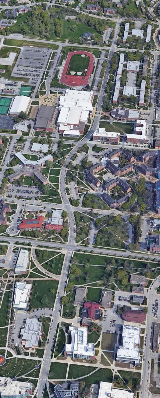
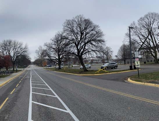

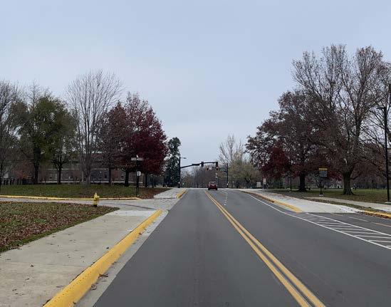

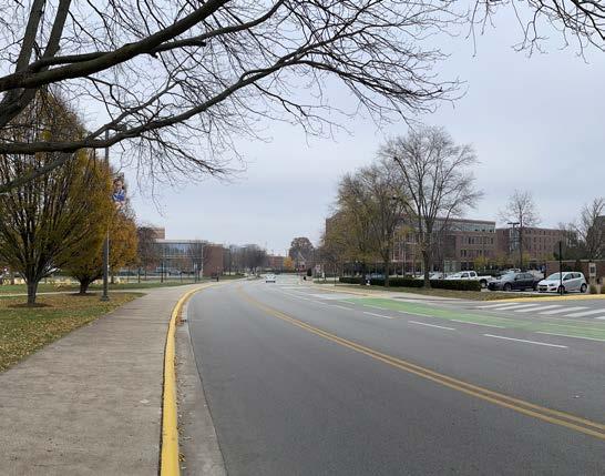

purdue university stormwater & open space study 58 59
focus areas
martin jischke drive
MARTIN JISCHKE DRIVE - STORMWATER PROBLEM AREAS
PROBLEM AREAS IDENTIFIED:
Above ground flooding
• Martin Jischke Dr and W. Stadium Ave.
• Lawn and foundation of Wiley Hall.
• Back of house / service lot of Wiley and Tarkington Halls.
• Parking lot at Frace Cordova Recreational Sports Center.
Undersized Pipe Segments
STORM DRAINAGE BASIN:
• Jischke
Wellhead protection area:
• Within protection area
PROBLEM AREAS IDENTIFIED: Undersized Pipe Segments
STORM DRAINAGE BASIN:
• Jischke
Wellhead protection area:
• Within protection area




THIRD STREET purdue university stormwater & open space study 60
martin jischke drive - north
MARTIN JISCHKE DRIVE - PROPOSED BMP APPLICATIONS
SELECTED BMP types:
Bioretention
PERMEABLE PAVEMENT
LANDSCAPE CONVERSION
BMP Implementation:
• Replace on-street parking with bioretention.
• Use landscape conversion in adjacent yards.
• Use landscape conversion in updated Krach Lawn.
• Replace street pavement with permeable pavement .
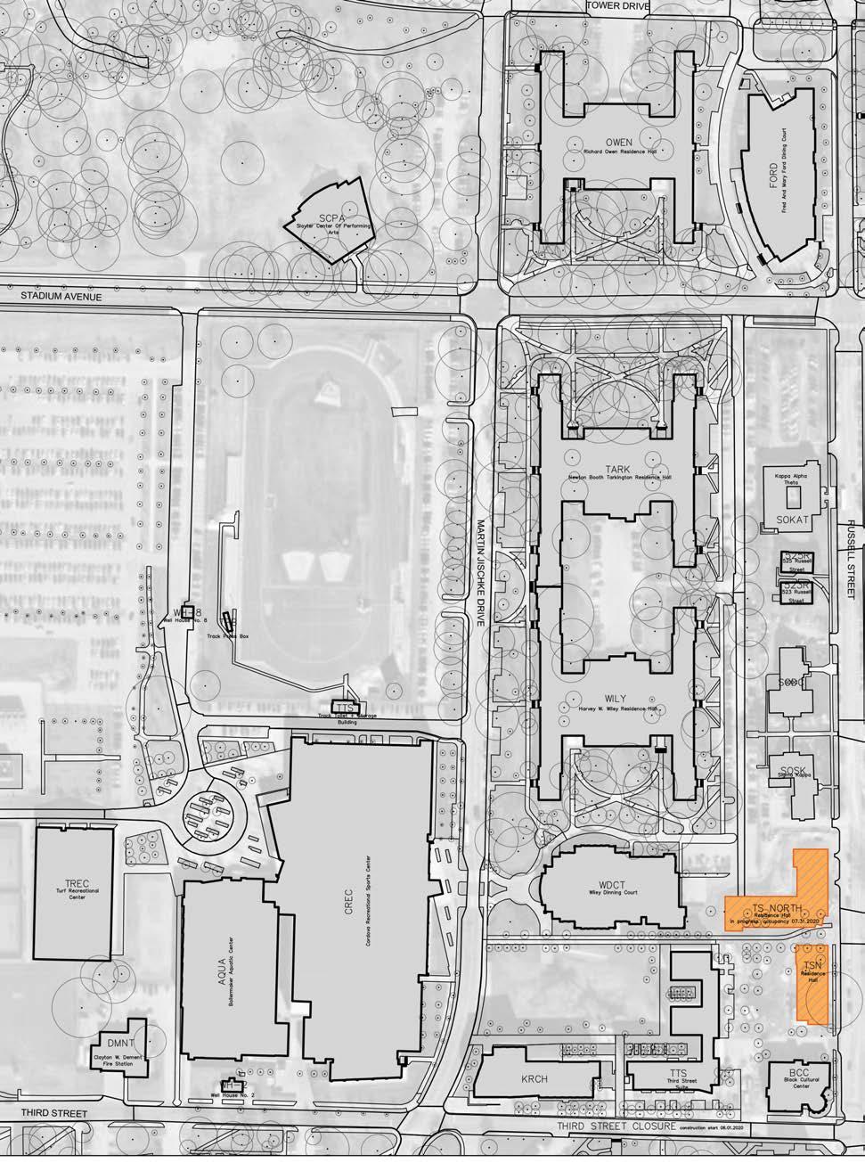

SELECTED BMP types:
Bioretention
PERMEABLE PAVEMENT
LANDSCAPE CONVERSION
BMP Implementation:
• Replace on-street parking with bioretention.
• Use landscape conversion in adjacent yards.
• Use landscape conversion in updated Krach Lawn.
• Replace street pavement with permeable pavement .


THIRD STREET STATE STREET 1ST STREET purdue university stormwater & open space study 62 63
martin jischke drive - south
focus areas
martin jischke drive - north
owen residence hall tarkington residence hall wiley residence hall wiley dining court corec slayter hill rankin field west stadium avenue krach leadership center windsor dining court fowler hall burton morgan center herrick laboratories mann hall 1st street state street duhme woods meredith lawn herrick lawn meredith south residence hall
ROSS-ADE STADIUM - EXISTING CONDITIONS
Description:
Ross-Ade Stadium is the home field of Purdue Boilermaker football. The southern end-zone plaza and parking lot has been identified a near-term horizon capital priority project. Although the landscape is predominately urban in this location, there is native landscape that occurs at the Hilltop apartments, Cary, and Owen Hall Residence Halls. This site could leverage stormwater maintenance to solve existing problems during the design development of the project.
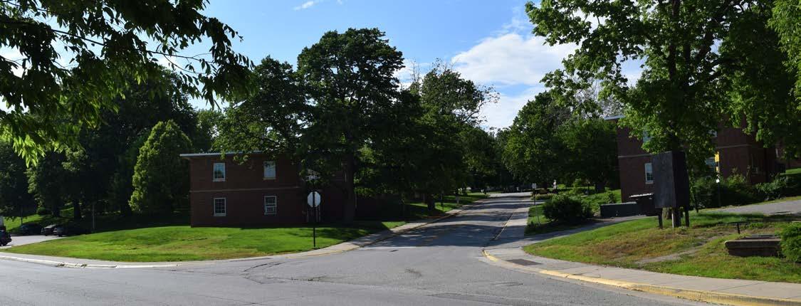
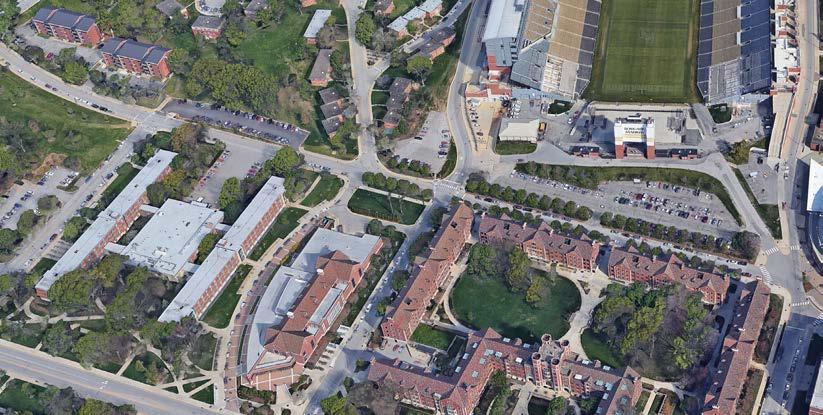
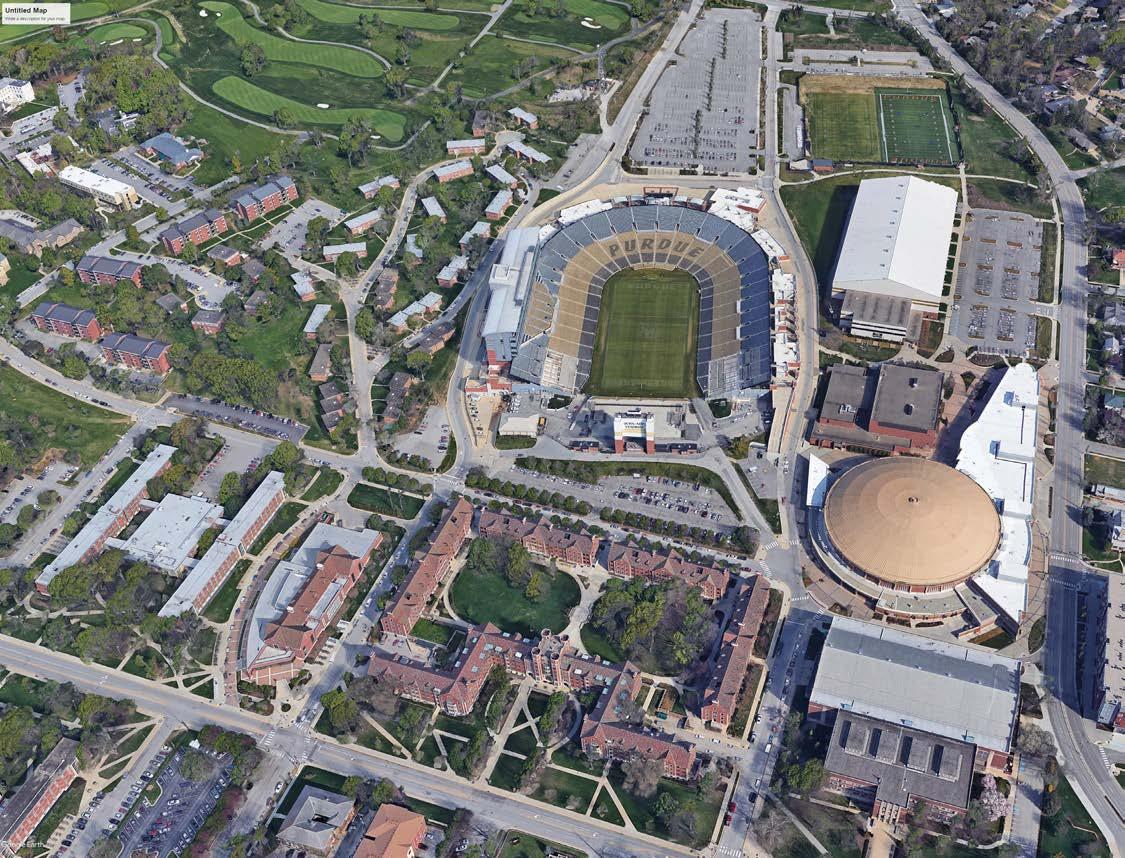
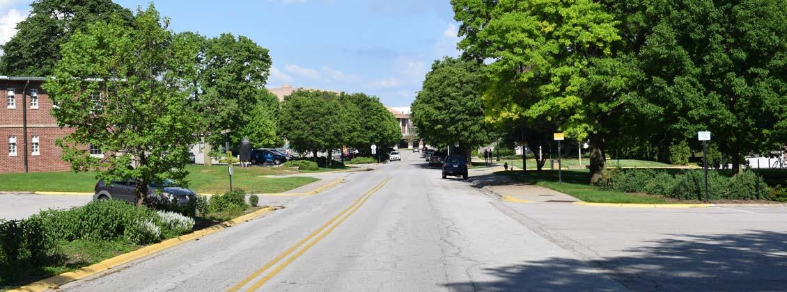
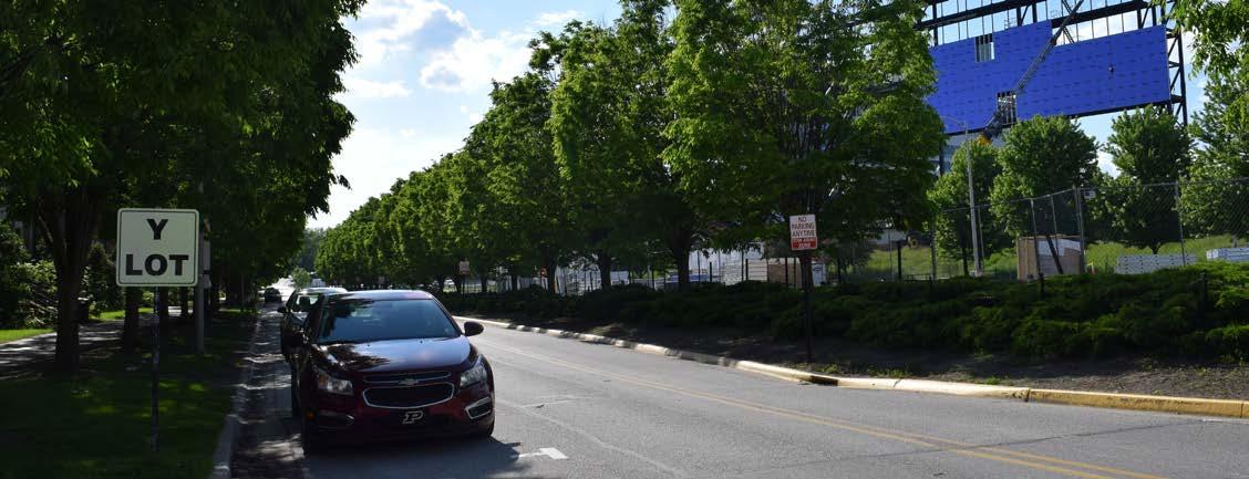
purdue university stormwater & open space study 64 65
focus areas
ross-ade stadium
ROSS-ADE STADIUM - STORMWATER PROBLEM AREAS ROSS-ADE STADIUM
- PROPOSED BMP APPLICATIONS
problem areas identified:
Above Ground Flooding
• Tower Drive
• Owen Hall lawn and foundation
• Ford Dining Court lawn and foundation
• John R. Wooden Drive and Tower Drive
Undersized Pipe Segments
storm drainage basin:
• Jischke
• University CSO
Wellhead protection area:
• Within protection area
BMP Implementation:
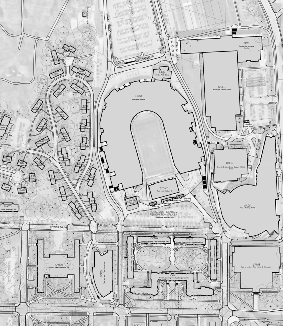
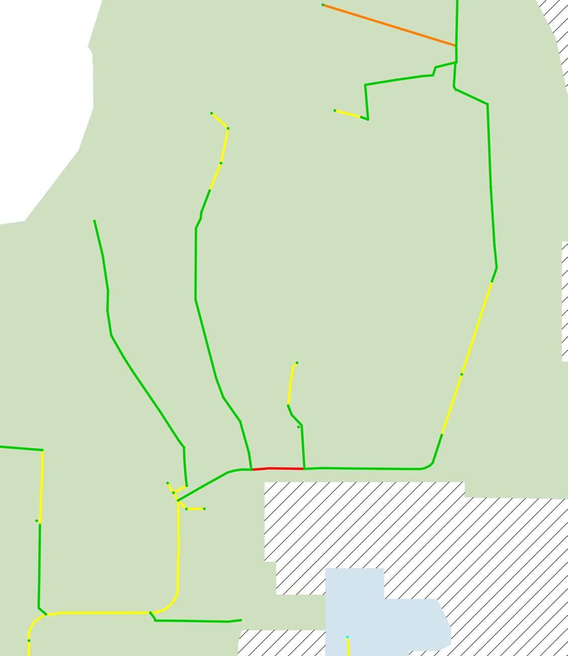
• Replace on-street parking with bioretention.
• Use landscape conversion in yards and foundations.
• Potential for BMP implementation at Ross-Ade Stadium Renovation/Plaza.
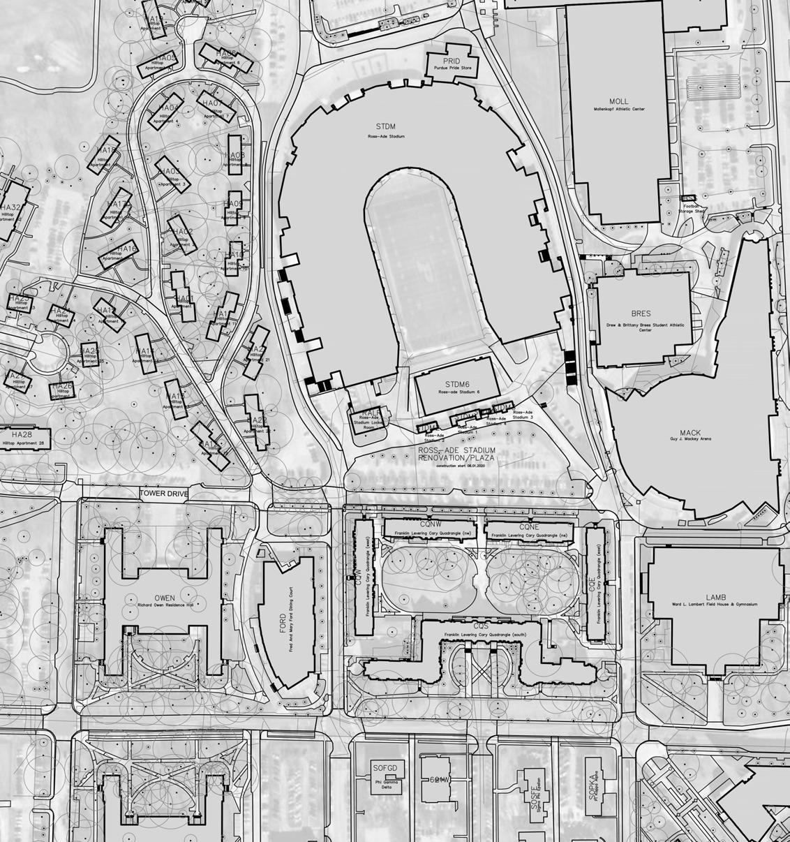


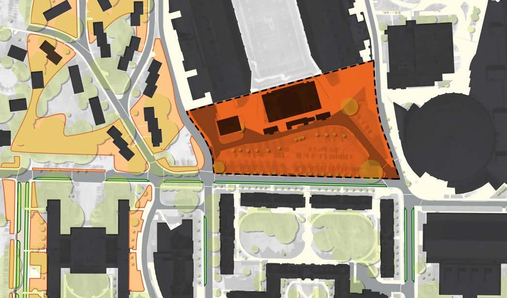
66 67 focus areas
SELECTED BMP types: Bioretention Permeable pavement Landscape Conversion SUBSURFACE DETENTION soil restoration sTORMWATER PLANTER
ross-ade stadium renovation/plaza MACKEY ARENA OWEN RESIDENCE HALL FORD DINING COURT LAMBERT FIELDHOUSE MARTIN JISCHKE DRIVE STEVEN BEERING DRIVE JOHN R WOODEN DRIVE TOWER DRIVE CARY RESIDENCE HALLS HILLTOP APARTMENTS ROSS-ADE STADIUM
WALDRON STREET - EXISTING CONDITIONS
Description:
Purdue University’s Waldron street is a major street that extends through Purdue’s central campus . The priority open space spans the street corridor from Cary Residence Halls in the northern campus to Lilly Hall of Life Sciences south of State Street. There is varying landscape typology and character along this corridor; however, it is predominately urban. This link intersects several campus landscapes and corridors. There is an opportunity to apply the stormwater kit of parts to the planning and design of this street in the future.

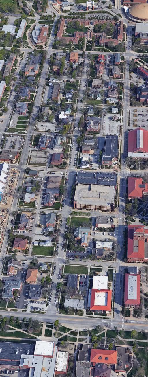


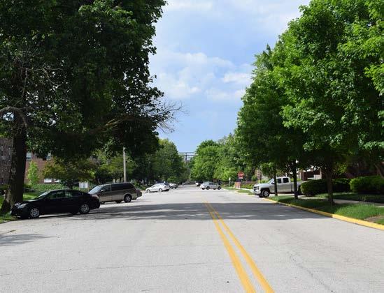

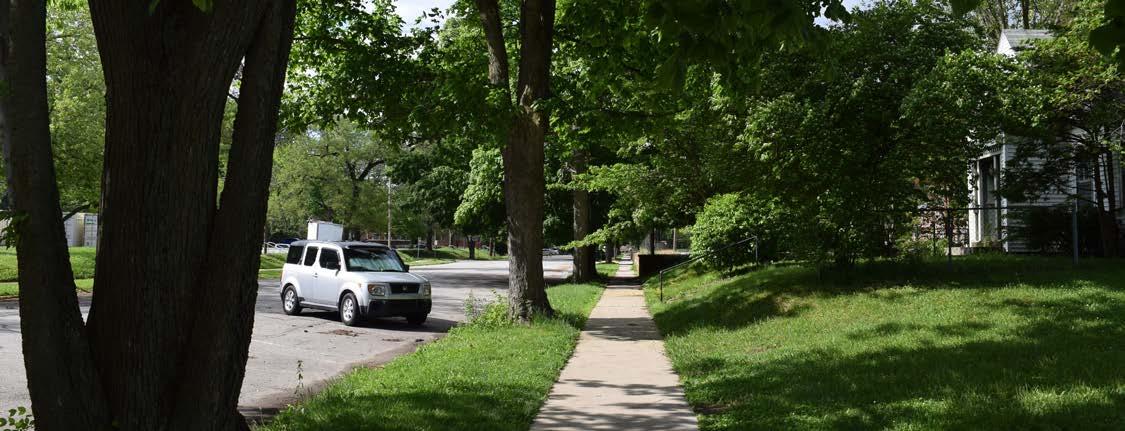
purdue university stormwater & open space study 68 69
focus areas
waldron street
WALDRON STREET - STORMWATER PROBLEM AREAS
PROBLEM AREAS IDENTIFIED: Undersized Pipe Segments
STORM DRAINAGE BASIN:
• University
Wellhead protection area:
• Within protection area
waldron street - south


PROBLEM AREAS IDENTIFIED: Undersized Pipe Segments
STORM DRAINAGE BASIN:
• University
• University CSO
Wellhead protection area:
• Within protection area


PLAN WALDRON STREET - NORTH 0 200'400' PLAN WALDRON STREET - NORTH 0200'400' purdue university stormwater & open space study 70
WALDRON STREET - PROPOSED BMP APPLICATIONS
BMP Implementation:
• Replace some on-street parking with bioretention.
• Use permeable pavement for site walkways.
• Punctuate the corridor at cross streets with bioretention areas.
• Perform soil restoration in street bed.


BMP Implementation:
• Replace some on-street parking with bioretention.
• Use permeable pavement for site walkways.
• Punctuate the corridor at cross streets with bioretention areas.

RUSSELL STREET UNIVERSITY STREET 4TH STREET 5TH STREET 6TH STREET PLAN WALDRON STREET - NORTH 0 200'400' RUSSELL STREET UNIVERSITY STREET RUSSELL STREET UNIVERSITY STREET purdue university stormwater & open space study 72 73
waldron street - south
SELECTED BMP types: Bioretention PERMEABLE PAVEMENT Soil
Restoration
focus areas
Bioretention PERMEABLE PAVEMENT Soil
waldron street - north
SELECTED BMP types:
Restoration
west stadium avenue 6th street 5th street 4th street cary residence hall lawn 3rd street renovation 2nd street 1st street state street 3rd street renovation lilly hall of life sciences
ACADEMY PARK - EXISTING CONDITIONS
Description:
Academy Park is a series of radial lawns and tree canopy about small gathering spaces and walkways. This park is located along a pedestrian walkway and cycle track between the Purdue Memorial Union and Heavilon Hall. Note: this park overlaps with two capital priority sites: Purdue Memorial Union Ground Floor Plaza, and Purdue Memorial Union Club Hotel Renovations. Not only is the park significant due to its surrounding campus buildings, but it serves as a connection between some of Purdue’s major pedestrian and transit corridors (Grant Street and Oval Drive/Memorial Mall/Centennial Mall). The landscape typologies in this portion of campus are traditional urban developments.


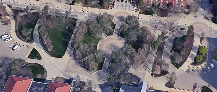


purdue university stormwater & open space study 74 75
focus areas
academy park
ACADEMY PARK - STORMWATER PROBLEM AREAS
PROBLEM AREAS IDENTIFIED: Undersized Pipe Segments STORM DRAINAGE BASIN:
• University • University CSO


ACADEMY PARK - PROPOSED BMP APPLICATIONS
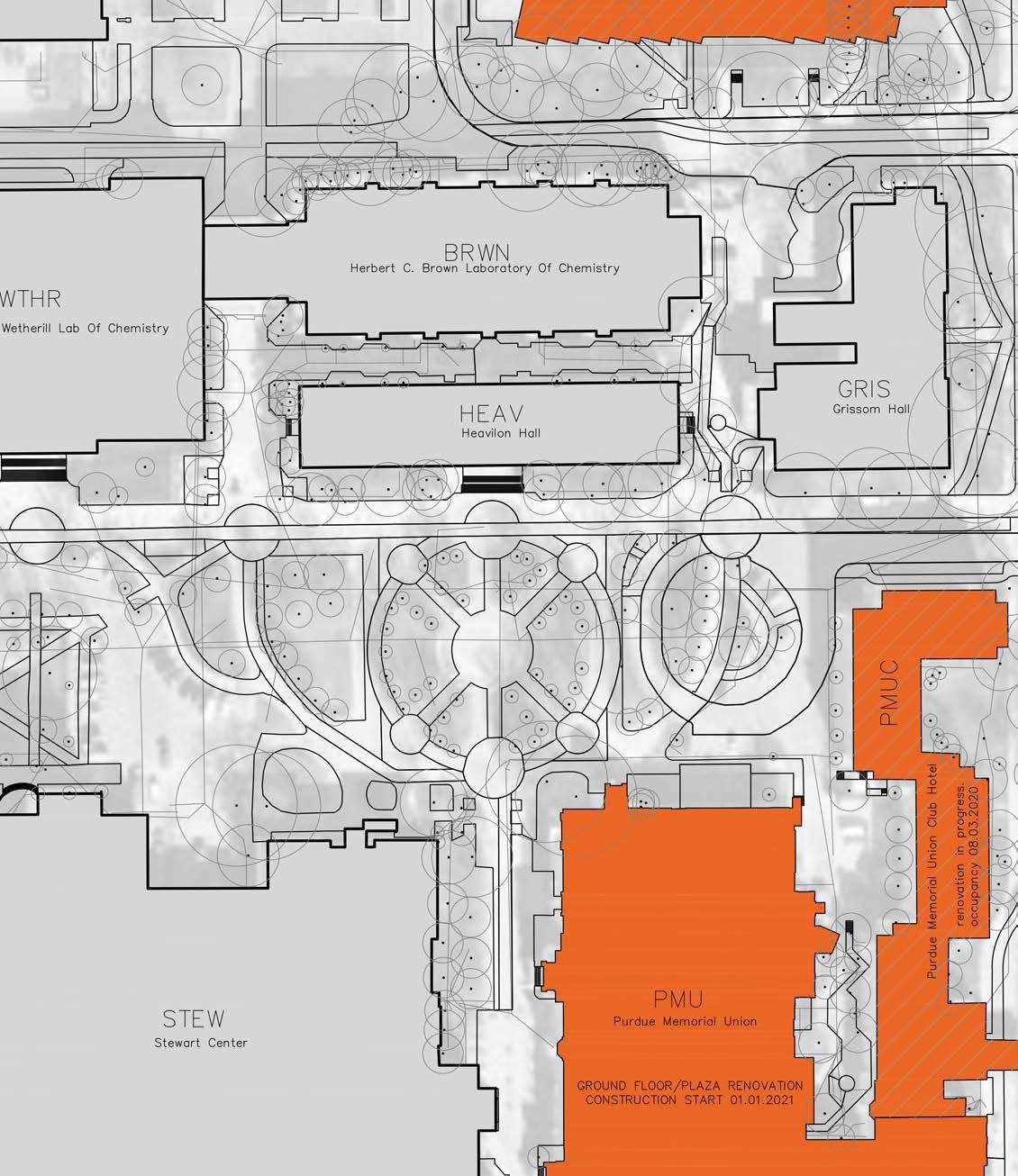
• Replace existing pavers with permeable pavement. • Use landscape conversion in some existing lawn areas.

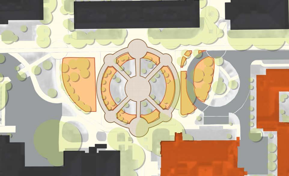
purdue university stormwater & open space study 76 77 focus areas
PERMEABLE
LANDSCAPE CONVERSION
SELECTED BMP types:
PAVEMENT
BMP IMPLEMENTATION:
Wellhead protection area:
stewart center heavilon hall wetheril hall grissom hall purdue memorial union ground floor/plaza club hotel building renovations
• Outside protection area
MEMORIAL MALL - EXISTING CONDITIONS
Description:
The Purdue Memorial Mall, south of the Purdue Mall, is the original section of campus. A popular meeting place for students, the grassy, open Memorial Mall is surrounded by the Stewart Center, Wetherill Laboratory of Chemistry, Stanley Coulter Hall, the Class of 1950 Lecture Hall, the Recitation Building, University Hall, and Stone Hall. Although this space is considered a sacred urban landscape, it is also considered a priority open space, and capital priority space scheduled for the medium term. When considering BMPs for such a valued campus space, it is important not to diminish any of the sacred value it has claimed. Therefore, minimal BMP selection, if any, would be used in the sacred landscapes of Memorial Mall. In general, the sacred urban landscape is contained within the interior curb of Oval Drive.
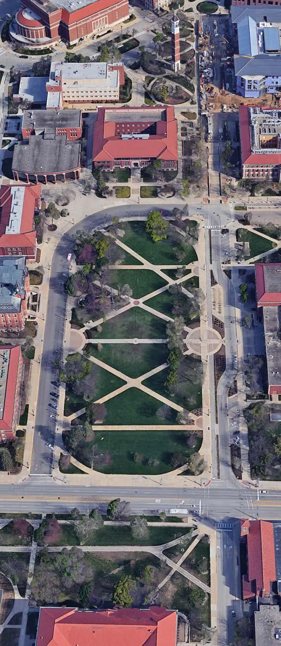
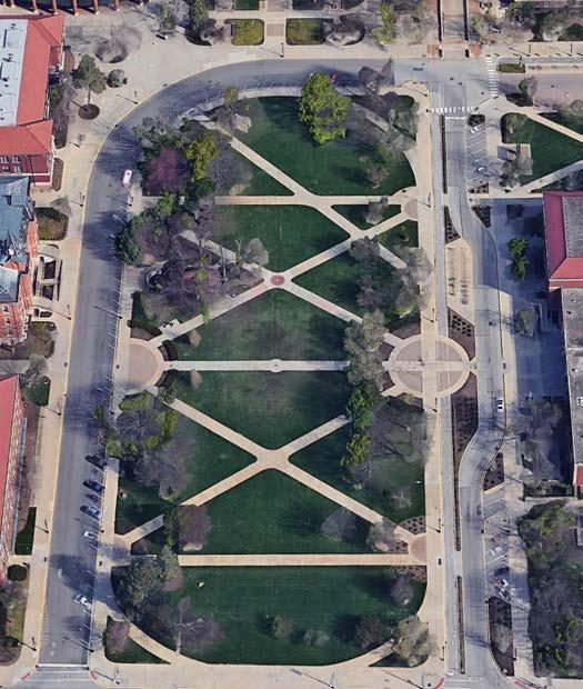
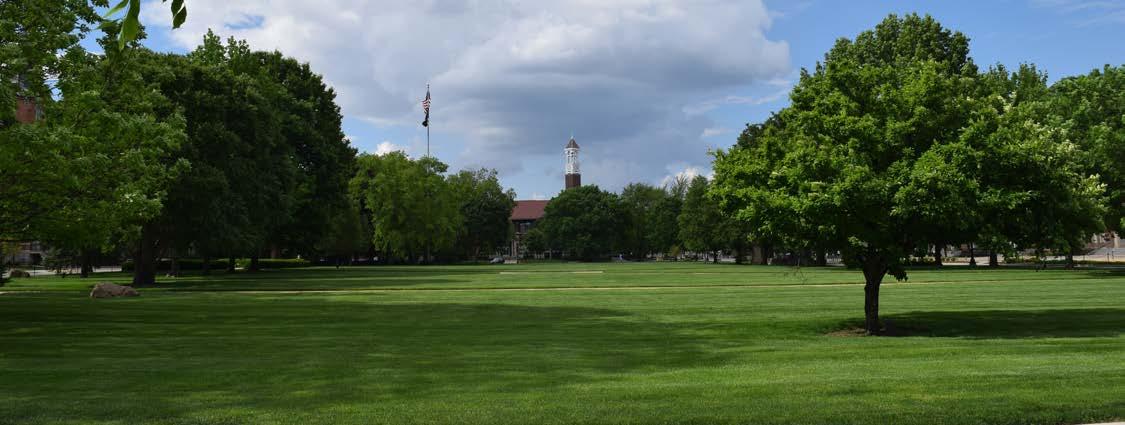

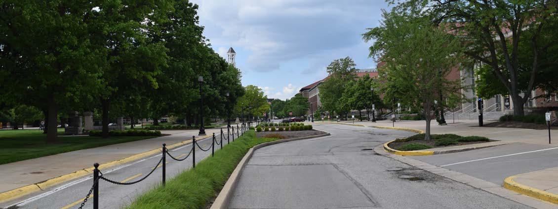
purdue university stormwater & open space study 78 79
focus areas
memorial mall
MEMORIAL MALL - STORMWATER PROBLEM AREAS

University CSO
• Accommodate bioretention/stormwater planters along walks.
• Use permeable pavement on main walk.
• Use landscape conversion in lawn and planted areas outside the sacred space.
• Use subsurface detention under main walk.
• Perform soil restoration in converted streets and walks.
• Use downspout disconnects on adjacent buildings into bmps.

purdue university stormwater & open space study 80 81 focus areas SELECTED BMP types: Bioretention Permeable pavement Landscape Conversion Subsurface Detention downspout disconnect soil restoration sTORMWATER PLANTER
MEMORIAL
PROBLEM AREAS IDENTIFIED: Undersized Pipe
STORM
•
Wellhead protection area: • Outside protection area memorial mall renovation BMP IMPLEMENTATION:
MALL - PROPOSED BMP APPLICATIONS
Segments
DRAINAGE BASIN: • University
MARSTELLER STREET - EXISTING CONDITIONS
Description:
Purdue University’s Marsteller street serves as a multimodal transit corridor and priority open space that spans from State Street to Harrison Street. This link can promote connectivity amongst north and south campus open spaces. Purdue’s less densely developed south campus has the opportunity to promote stormwater management in varying landscape typologies.
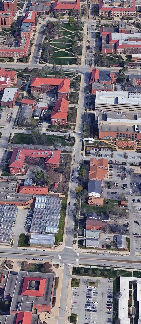


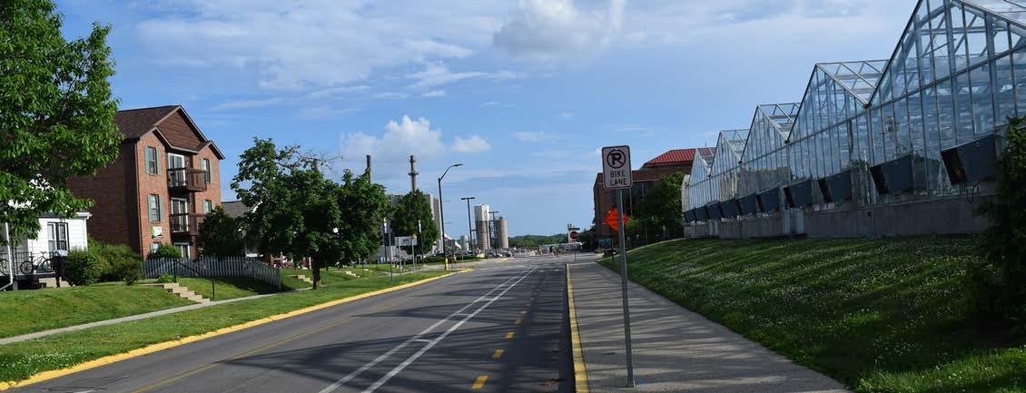
purdue university stormwater & open space study 82 83
focus areas
marsteller street
MARSTELLER STREET - STORMWATER PROBLEM AREAS
PROBLEM AREAS IDENTIFIED:
STORM DRAINAGE BASIN:
• University
• University CSO
Wellhead protection area:
• Outside protection area


PROBLEM AREAS IDENTIFIED:
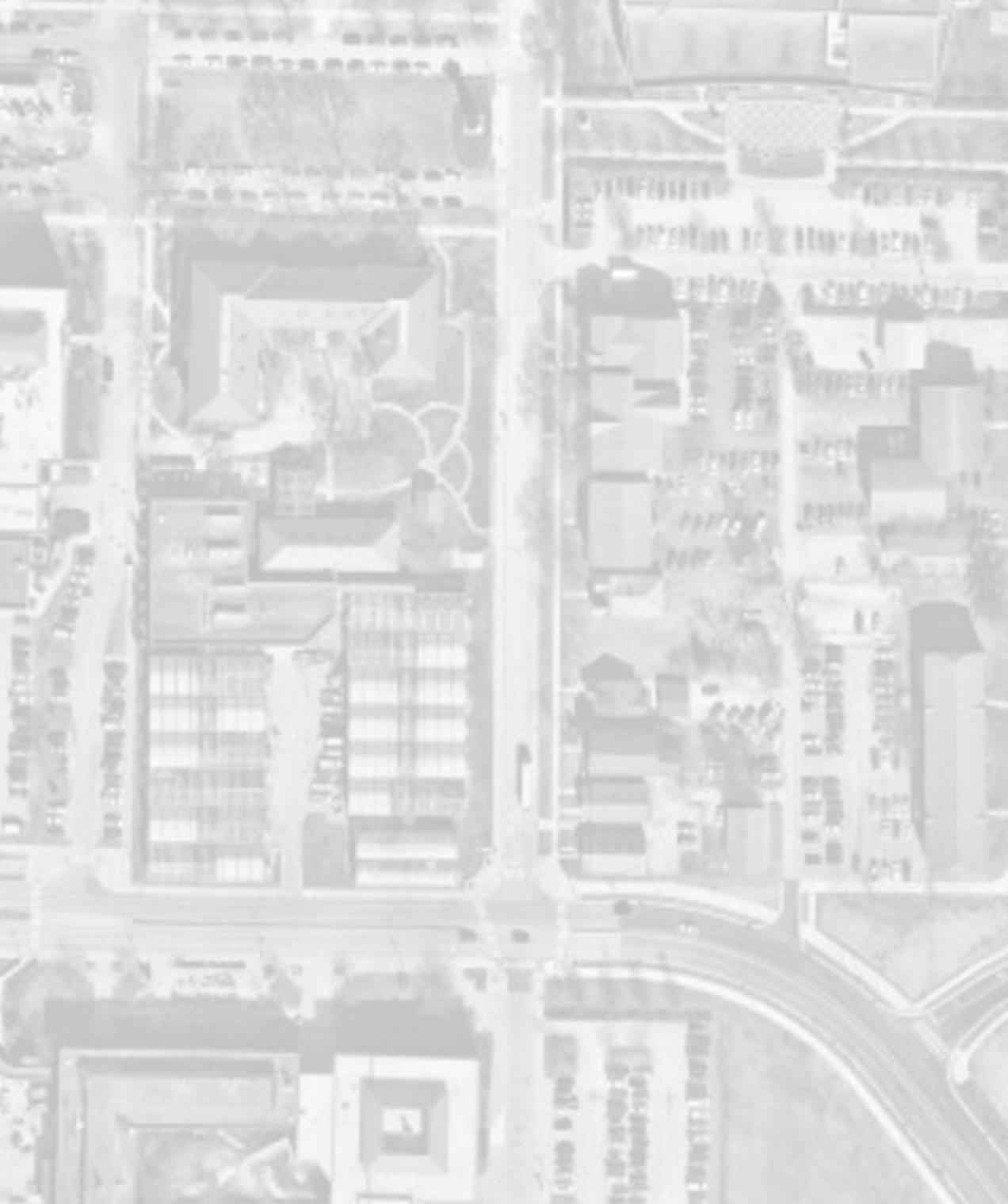
STORM DRAINAGE BASIN:
• University
• University CSO
Wellhead protection area:
• Outside protection area
street - north


PLAN MARSTELLER STREET - NORTH 0 N 100'200' PLAN MARSTELLER STREET - NORTH 0 N 100'200' purdue university stormwater & open space study 84 85
marsteller street - south
focus areas
marsteller
None
None
MARSTELLER STREET - PROPOSED BMP APPLICATIONS

SELECTED BMP types:
Bioretention
PERMEABLE PAVEMENT
LANDSCAPE CONVERSION
BMP IMPLEMENTATION:
• Implement bioretention at street chicanes
• Use landscape conversion in planters near specified building entries, yards, and foundations
• Replace street pavement with permeable pavement


SELECTED BMP types:
Bioretention
PERMEABLE PAVEMENT
LANDSCAPE CONVERSION
BMP IMPLEMENTATION:
• Implement bioretention at street chicanes
• Use landscape conversion in planters near specified building entries, yards, and foundations
• Replace street pavement with permeable pavement
STREET - NORTH

PLAN MARSTELLER STREET - NORTH 0 N 100'200' purdue university stormwater & open space study 86 87
focus areas
MARSTELLER STREET - SOUTH
MARSTELLER
forestry building future building agriculture mall pao hall saint thomas aquinas agriculture administration building horticulture garden horticulture building harrison street horticulture greenhouse
AGRICULTURE MALL - EXISTING CONDITIONS
Description:
The Purdue Agriculture Mall is located south of State Street in the heart of the College of Agriculture. This mall is considered a priority open space, and capital priority space scheduled for the medium term. There is opportunity to enhance Agriculture Mall as part of the campus open space network and incorporate BMP’s within the pending renovation.

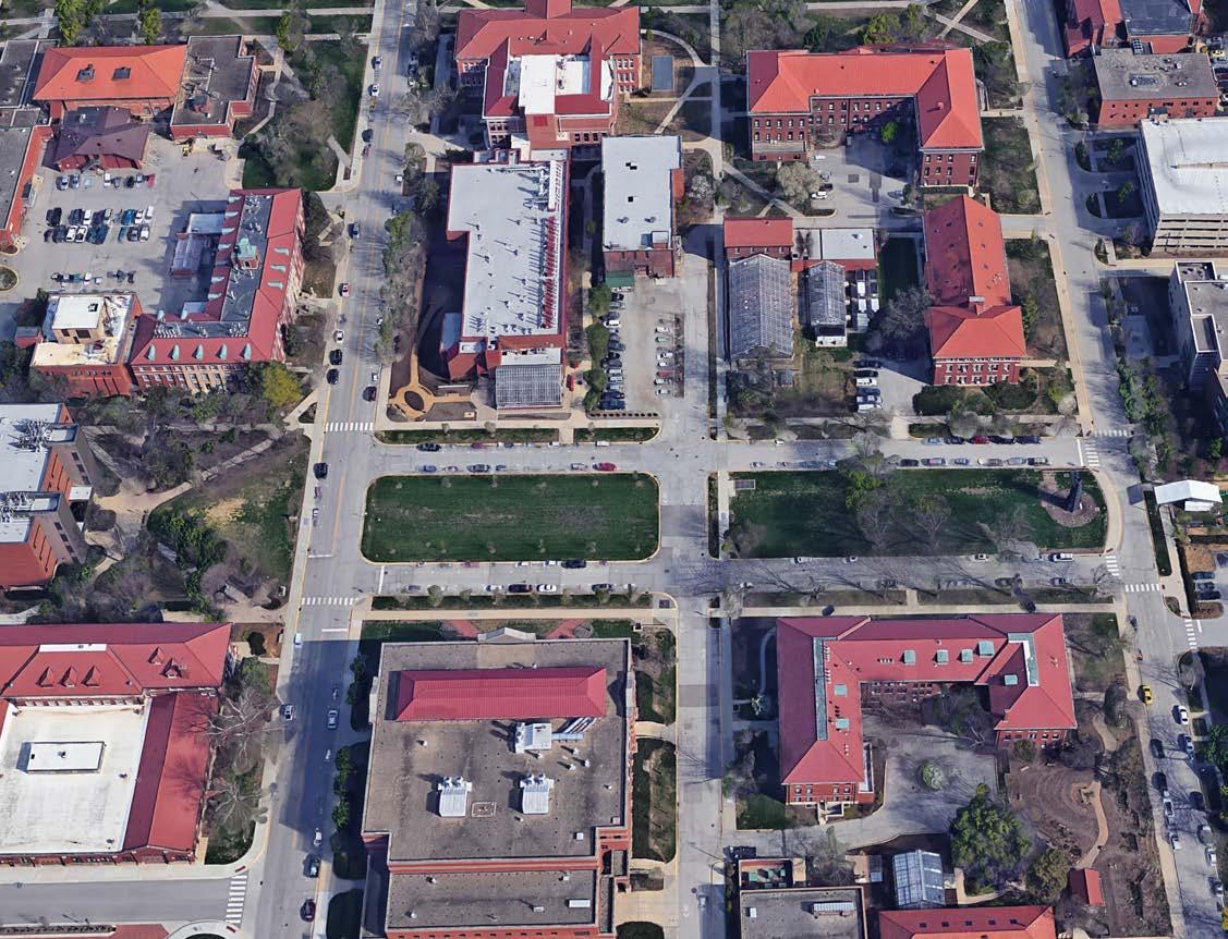

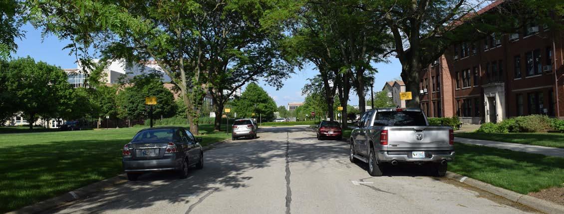
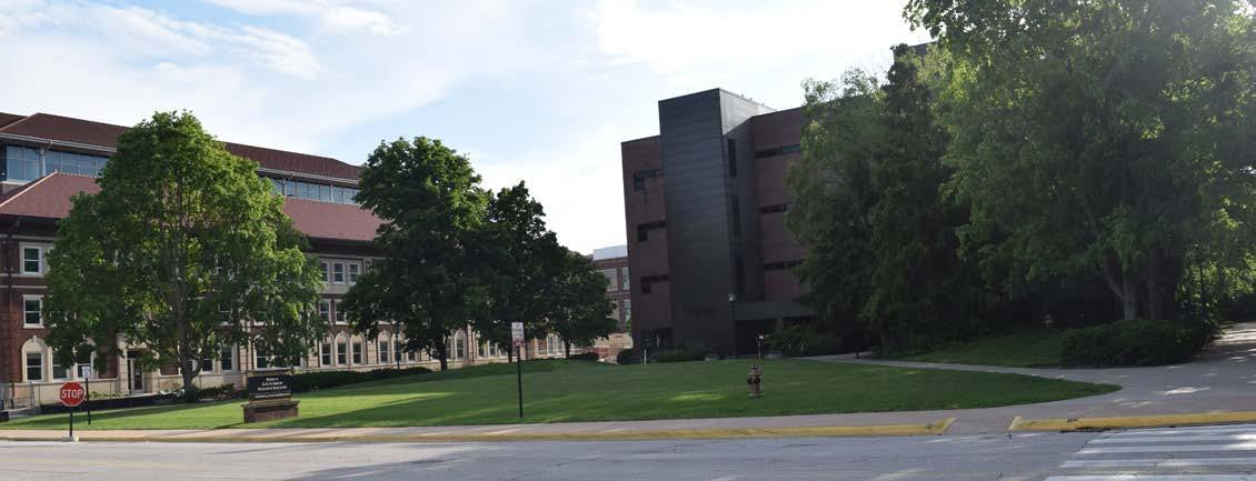
purdue university stormwater & open space study 88 89
focus areas
agriculture mall
AGRICULTURE MALL - STORMWATER PROBLEM AREAS
PROBLEM AREAS IDENTIFIED: Undersized pipe segments
STORM DRAINAGE BASIN:
• University
• University CSO
Wellhead protection area:
• Outside protection area

AGRICULTURE MALL - PROPOSED BMP APPLICATIONS
SELECTED BMP types:

BMP IMPLEMENTATION:
• Implement bioretention along the outside edge of mall walks, replacing street parking at mall, and in specified plantings.
• Use landscape conversion in yards and foundations at perimeter of mall.
• Use permeable pavement in plazas.


UNIVERSITY STREET MARSTELLER STREET PLAN AGRICULTURE MALL SCALE IN FEET 0 N 100'200' purdue university stormwater & open space study 90 91
focus areas
PLAN AGRICULTURE MALL SCALE IN FEET 0 N 100'200' PLAN AGRICULTURE MALL SCALE IN FEET 0 N 100'200' agriculture mall renovation horticulture BUILDING FORESTRY BUILDING MARSTELLER STREET
OF BIOCHEMISTRY
AND BIOLOGICAL ENGINEERING BUILDING UNIVERSITY STREET
Bioretention PERMEABLE PAVEMENT LANDSCAPE CONVERSION
DEPARTMENT
AGRICULTURE
WHISTLER HALL NELSON HALL
UNIVERSITY STREET - EXISTING CONDITIONS
Description:
Purdue University’s University Street is a major multimodal transit corridor that spans through all Purdue’s central campus. As University Street is bisected by State street the links are redirected by traffic medians, creating a disconnected North and South University Street. While University Street North is already an active pedestrian corridor, University Street South could be renovated to promote the connectivity of Purdue’s open space network. Identifying existing stormwater problems on this street could help leverage the need for renovation and the opportunity for BMP selection.


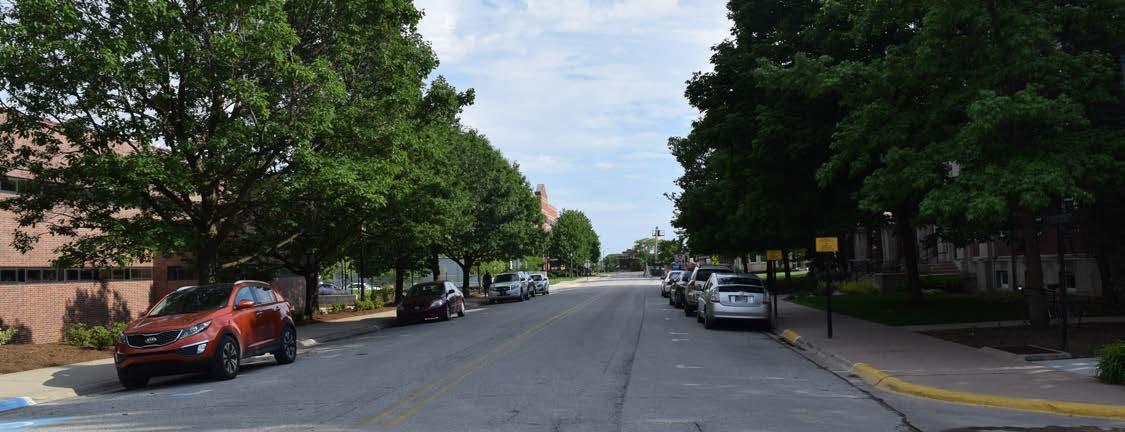
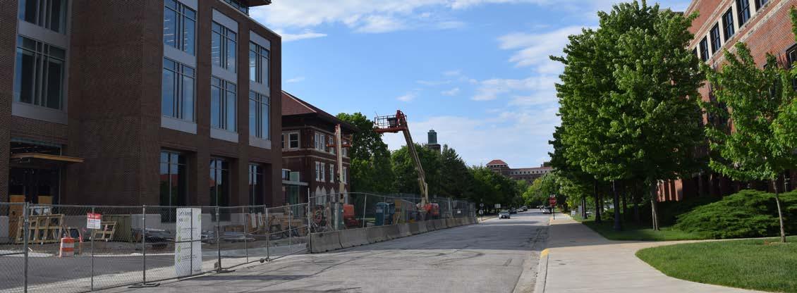

purdue university stormwater & open space study 92 93
focus areas
university street
UNIVERSITY STREET - STORMWATER PROBLEM AREAS
• University
Wellhead
•


STORM
• Outside protection area




PLAN UNIVERSITY STREET - NORTH 0 N 100'200' PLAN UNIVERSITY STREET - NORTH 0 N 100'200' UNIVERSITY STREET - SOUTH 0 100'200' purdue university stormwater & open space study 94 95 university street - south (B)
street - south (a) focus areas
university
AREAS IDENTIFIED: None
DRAINAGE BASIN:
PROBLEM
STORM
protection area:
AREAS IDENTIFIED: None
Within protection area PROBLEM
DRAINAGE BASIN:
• University
Wellhead protection area:
UNIVERSITY STREET - PROPOSED BMP APPLICATIONS

SELECTED BMP types:
BMP IMPLEMENTATION:
• Replace street parking with bioretention.
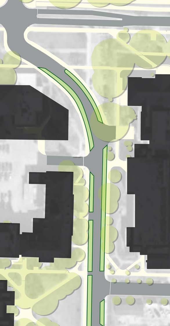

SELECTED BMP types: Bioretention
BMP IMPLEMENTATION:
• Replace street parking with bioretention.
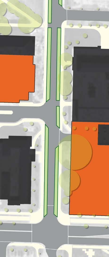
PLAN UNIVERSITY STREET - NORTH 0 N 100'200'
purdue university stormwater & open space study 96 97 university street - south (B) focus areas university street - south (a)
HARRISON STREET
future building department of biochemistry pfendler hall whistler hall state street university street south reconfigured university street
harrison street university street south lyle porter hall Nelson hall agriculture & biological engineering building addition nelson hall building addition
Bioretention
HEALTH + LIFE SCIENCES MALL - EXISTING CONDITIONS
Description:
The Purdue Health and Life Sciences Mall is located south of State Street in and spans from the College of Agriculture into Discovery Park. This mall is considered a priority open space that helps promote the connectivity of open space in Purdue’s south campus. Adjacent to this mall is the future Nursing and Pharmacy Building site. This is a Capital Priority Project scheduled for development in the near-term horizon. There is opportunity to enhance the Health and Life Sciences Mall as well as the Nursing and Pharmacy building site to promote Purdue’s open space network and mitigate existing stormwater problems in the area.
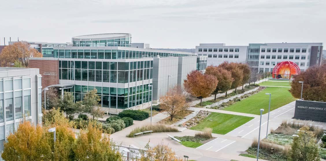


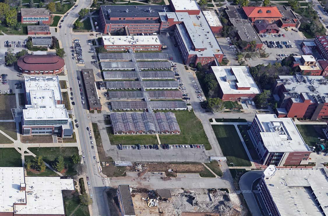
purdue university stormwater & open space study 98 99
focus areas
health and life sciences mall
health and life sciences mall
HEALTH + LIFE SCIENCES MALL - STORMWATER PROBLEM AREAS


purdue university stormwater & open space study 100 101
IDENTIFIED: Above
Undersized
STORM
•
•
•
Wellhead protection area: • Outside
area focus areas
PROBLEM AREAS
Ground Flooding • South of Lilly Hall of Life Sciences
pipe segments
DRAINAGE BASIN:
Jischke
University
Gates
protection
HEALTH + LIFE SCIENCES MALL - PROPOSED BMP APPLICATIONS


BMP IMPLEMENTATION:
• Implement bioretention at specified locations.
• Use permeable pavement in plazas.
• Use landscape conversion in plantings not central to mall lawn.
• Perform soil restoration in concert with other BMPs.
• Install stormwater planters at select locations.
• Use downspout disconnects to divert roof drainage into BMPs.


STREET RUSSELL STREET purdue university stormwater & open space study 102 103 focus areas
martin jischke drive future building voss sculpture NATIONAL SOIL EROSION LAB DISCOVERY LEARNING CENTER WELDON SCHOOL OF BIOMEDICAL ENGINEERING HOCKMEYER HALL
MANN HALL
SELECTED BMP types: Bioretention Permeable pavement Landscape Conversion downspout disconnect soil restoration sTORMWATER PLANTER russell street future building addition CREIGHTON HALL harrison street parking garage institute for drug discovery
RAY W. HERRICK LABORATORIES
NURSING + PHARMACY BUILDING - EXISTING CONDITIONS
Description:


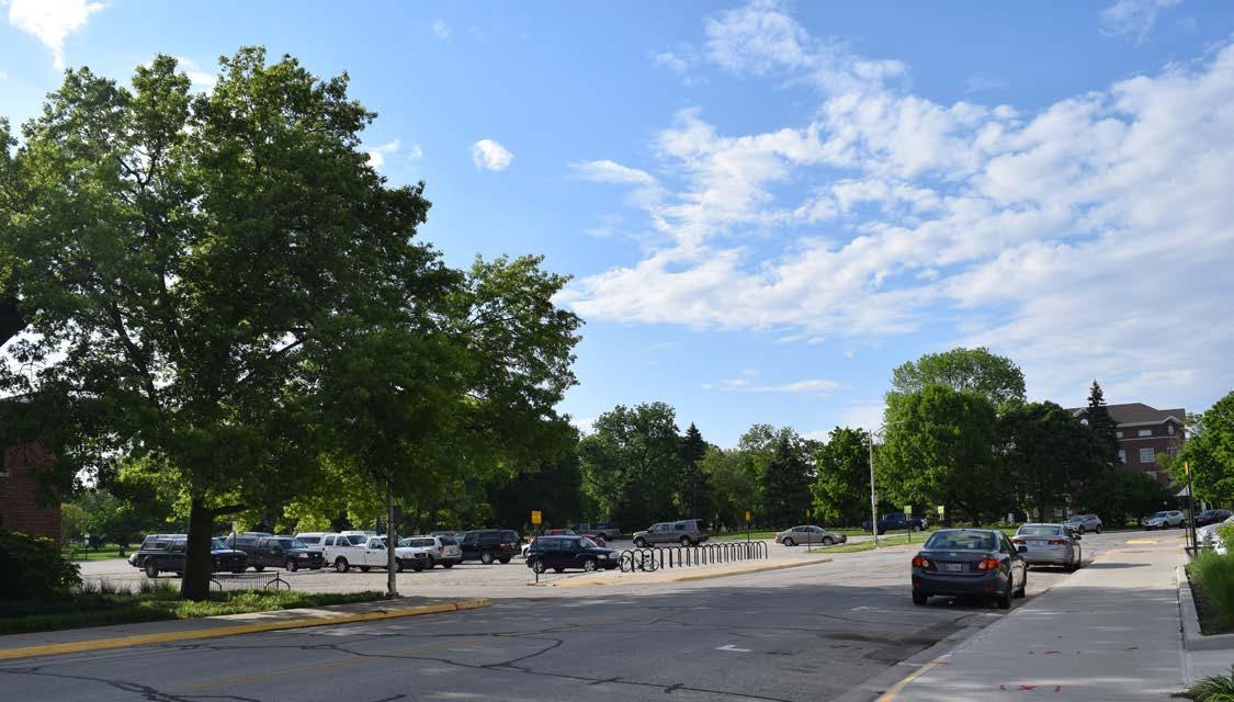
purdue university stormwater & open space study 104 105
Nursing and Pharmacy building is a capital priority project approved by the board of trustees. The project will include a new facility and may also be able to leverage stormwater management in the landscape. The buildings site will replace existing buildings at the SE corner of State and Russel Streets. focus areas
nursing and pharmacy building site
BMP IMPLEMENTATION:
• Accommodate bioretention in planting near the building entry.
• Use landscape conversion on site yards and foundations.
• Use downspout disconnects to divert roof drainage into BMPs.
• Install stormwater planters at entries and foundations.
• Use rainwater harvesting to supplement site irrigation.
• Perform soil restoration in concert with other BMPs.


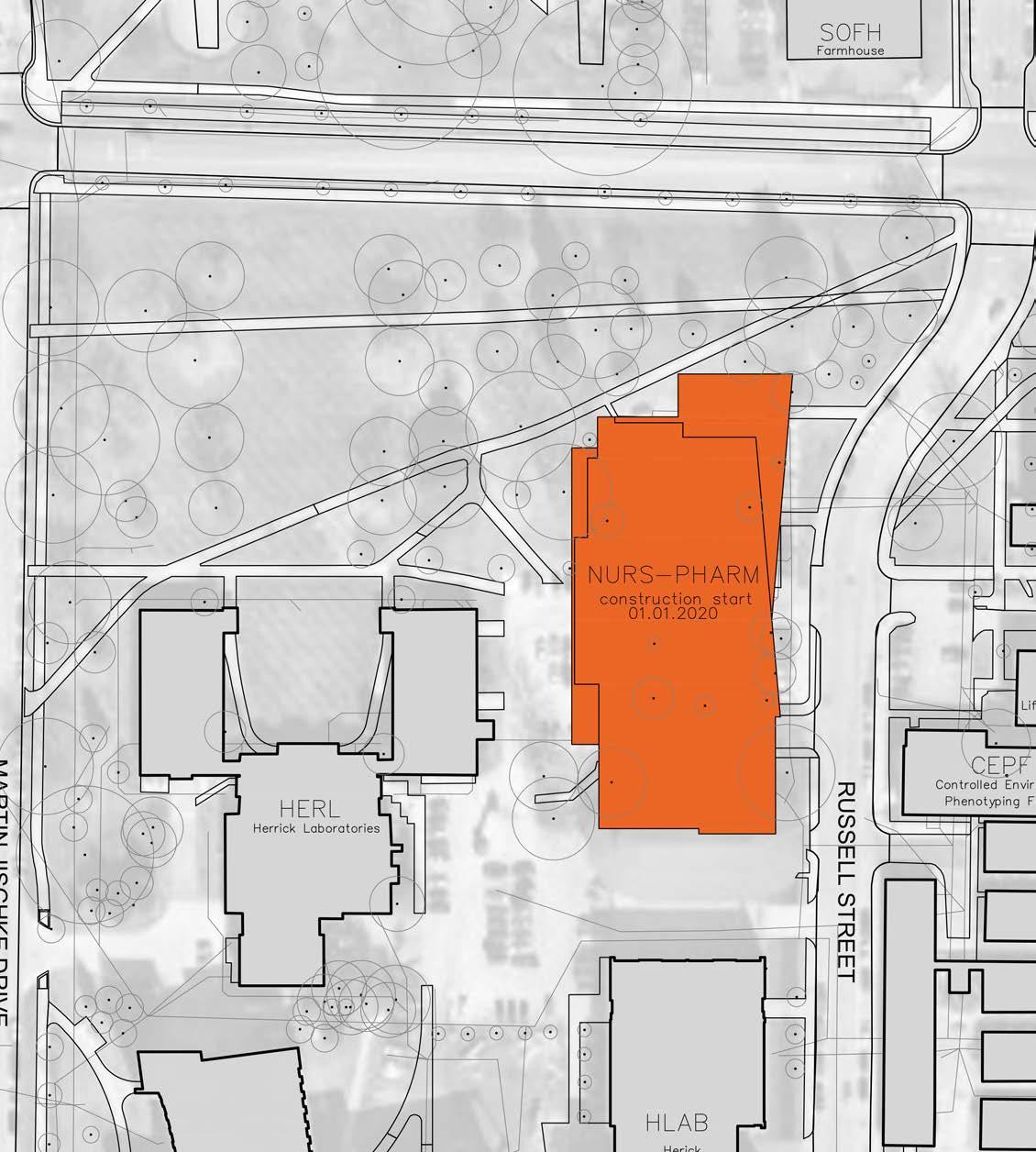


SOUTH RUSSELL STREET STATE STREET
HERRICK LABORATORIES


