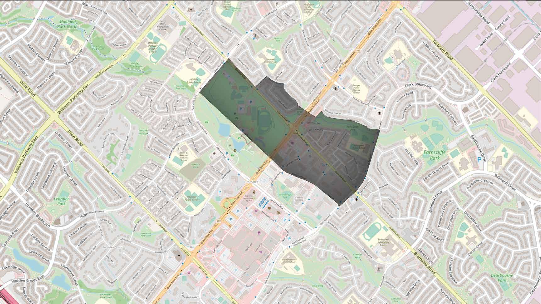
Bramalea MTSA
Why is Planning & Designing important?
During future development of transit locations few things are addressed, this includes acknowledging the provincial growth plan which indicates that there needs to be around a measure of 160 jobs/ha around a newly developed BRT Area.
The main role of the creation and function of an MTSA is to help improve the connectivity of public amenities and services along with a mix of land uses, doing so makes a successful transit station area.
What is a MTSA?
Transit stations or stop that is within a 10-minute walk or about 500-800 meter in radius. These stops are typically
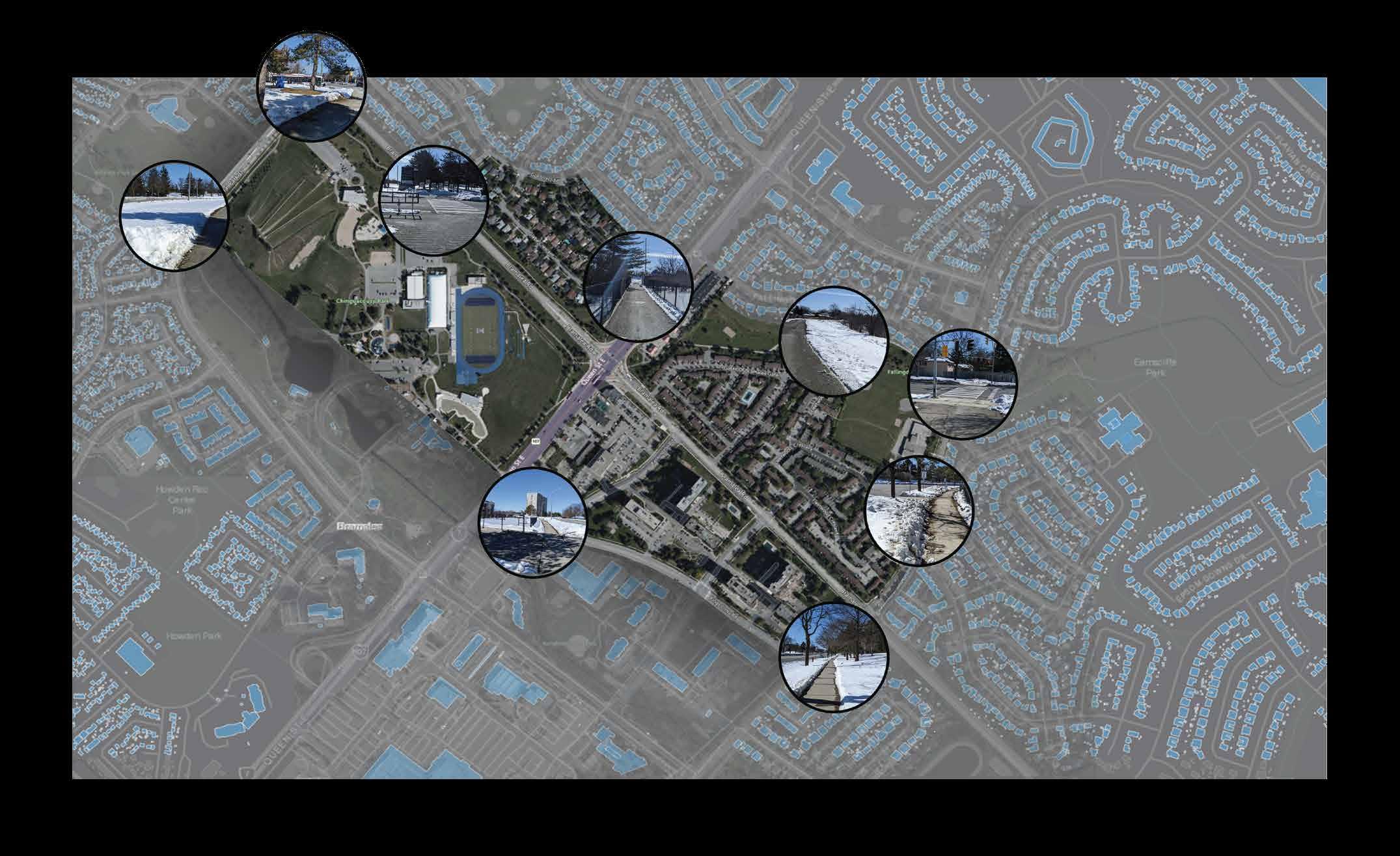
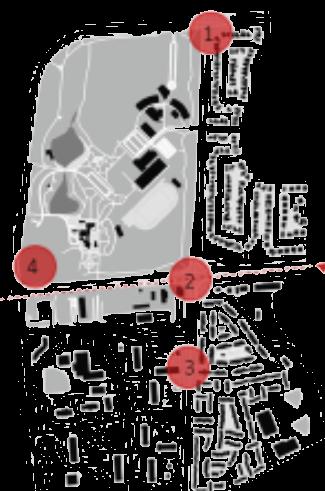
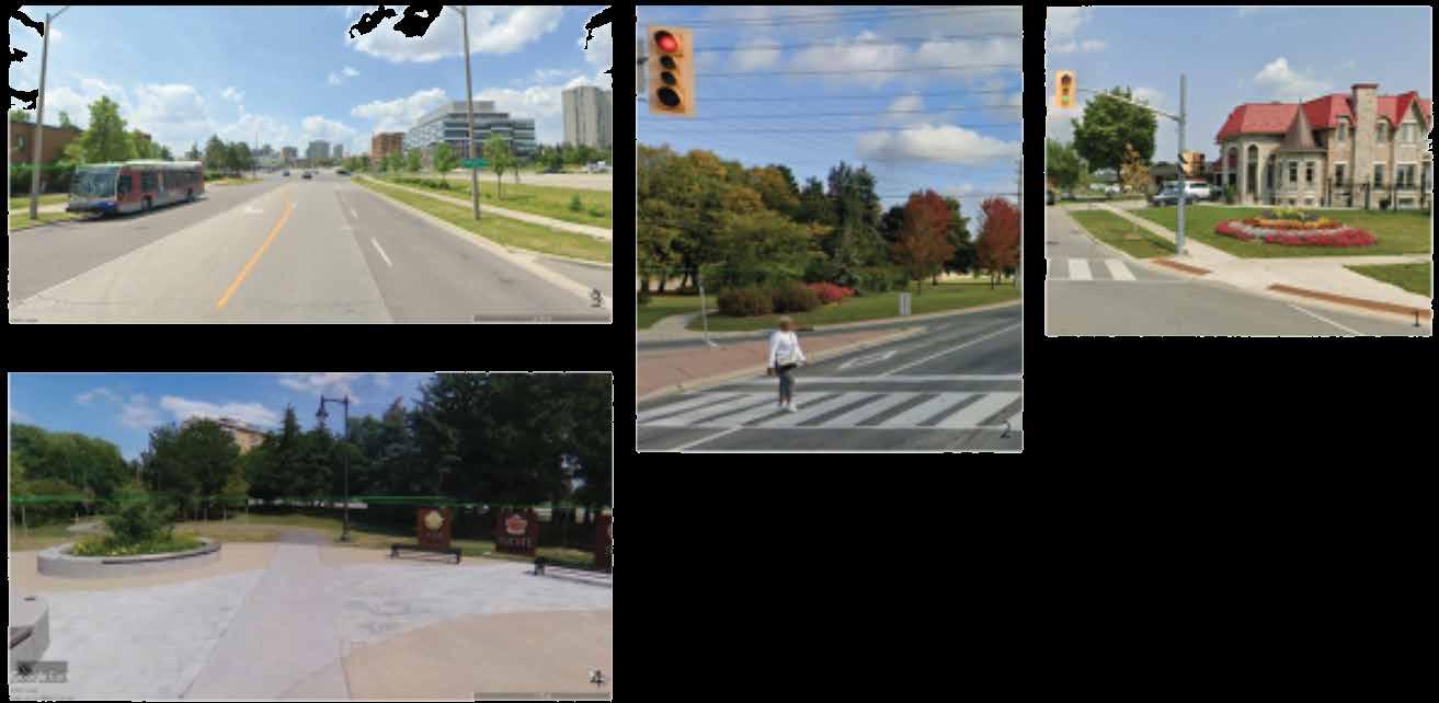
1. South of Clark Blvd & Kings Cross
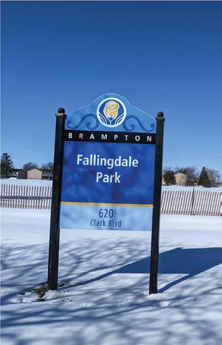
2. Heading east towards Falling Dale Park
3. At the bend of Central Park Drive North of Chinguacousy Park
4. Right onto Bramalea Road into the Goodwood Road
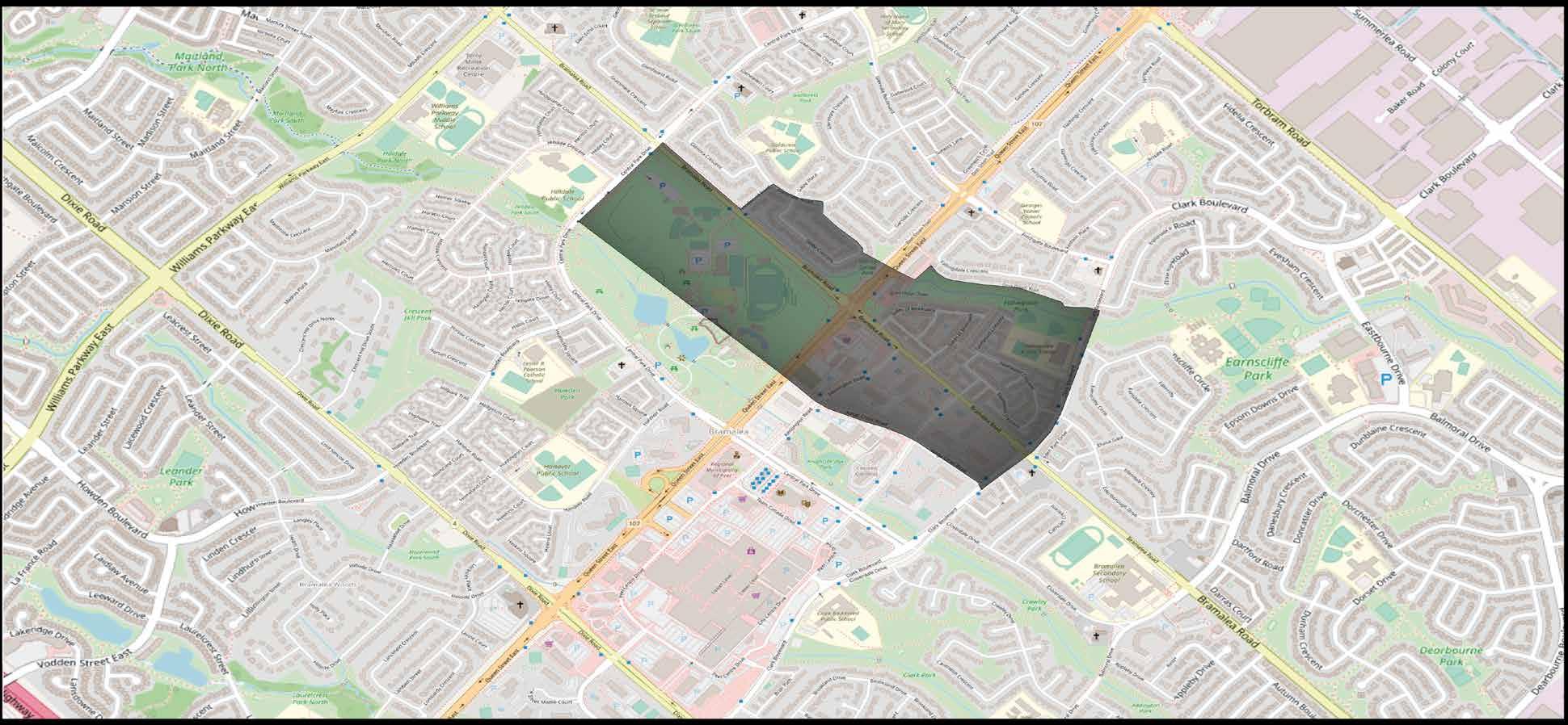
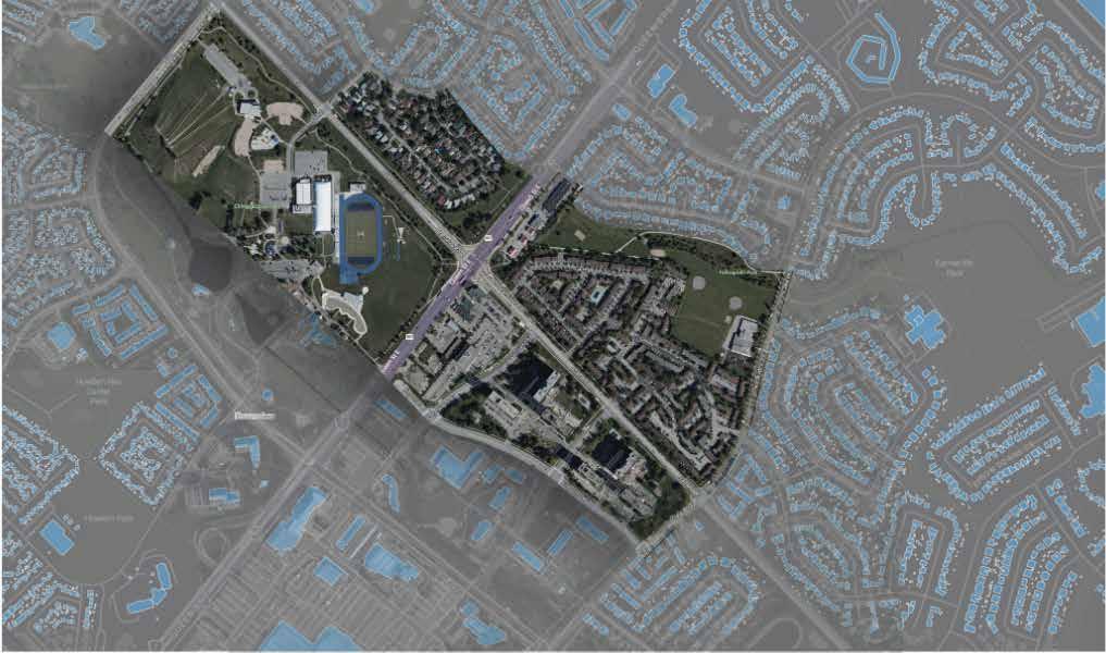
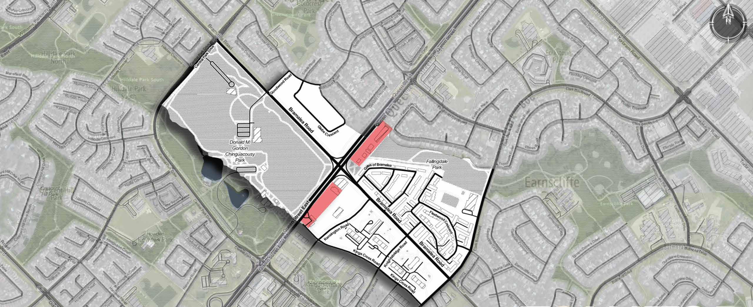
Fig. 2. Site Boundaries Overview PHYSICAL CONTEXT
Fig. 1. Site Boundaries
What is a Policy Context?
The background against which the policy is made or can be amended for the further development of area is known as policy context.
The major Policy context for MTSA Bramalea are:
Connecting the network
• Enhancing and connecting the active transportation network in order to support an increase in walking and cycling is a critical focus
• Several program types geared at different users: a) Proposed Network b) Existing Network Improvements
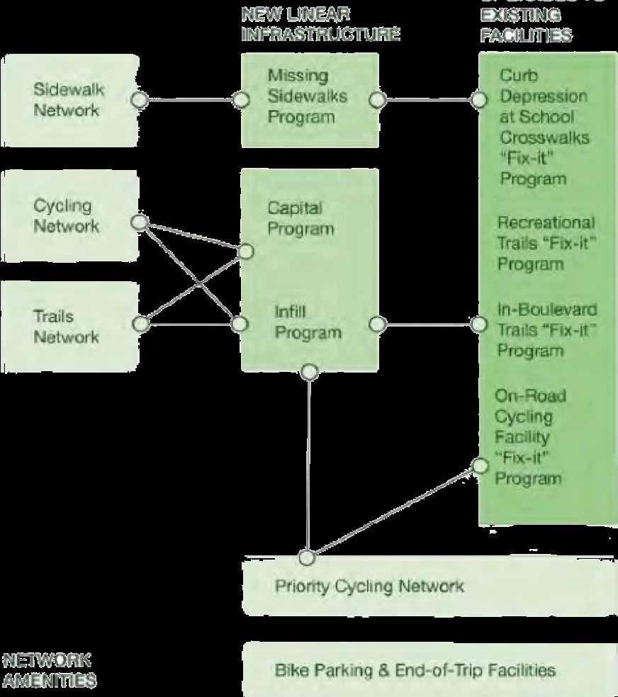
Providing year round mobility
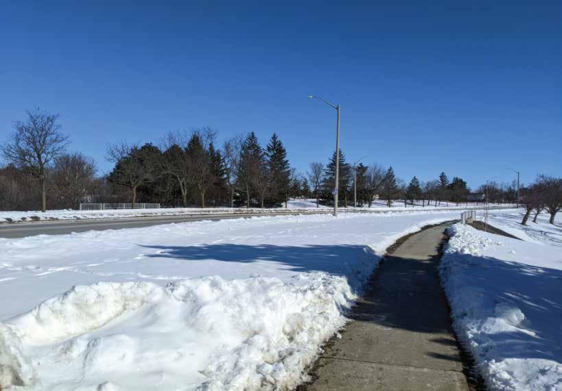
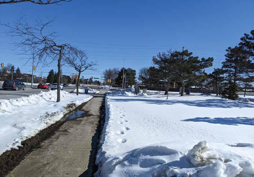
• Proper maintenance can help to encourage walk or ride trips in all seasons, reduce the risk of injuries, and extend the service of life of infrastructure
• Desirable that enhancements to maintenance standards and priority networks be coordinated between the Regional and municipal levels of government
• Develop a pilot priority cycling network for enhanced year-round maintenance (coordinate with Priority Cycling Network)
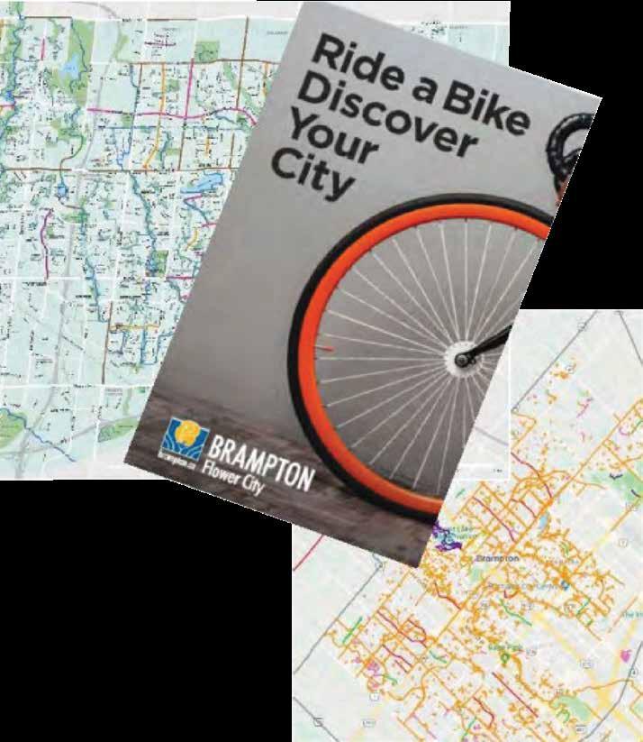
Design for safety and comfort
• Safe, high quality and connected active transportation infrastructure is essential.
• Design Compendium provides guidance on pedestrian and cycling facilities, consistent with Complete Streets guidelines.
Developing a walking and cycling culture
• Guidance for various elements of sidewalks (clearway, furnishing zones, edge zones and frontage zones)
• Accessibility best practices and AODA requirements
• Pedestrian safety considerations, including impact of vehicular speeds on safety outcomes for vulnerable road users.
POLICY CONTEXT
Fig 3. Linked Connected Network
Fig. 4. Poster promoting bicycle use
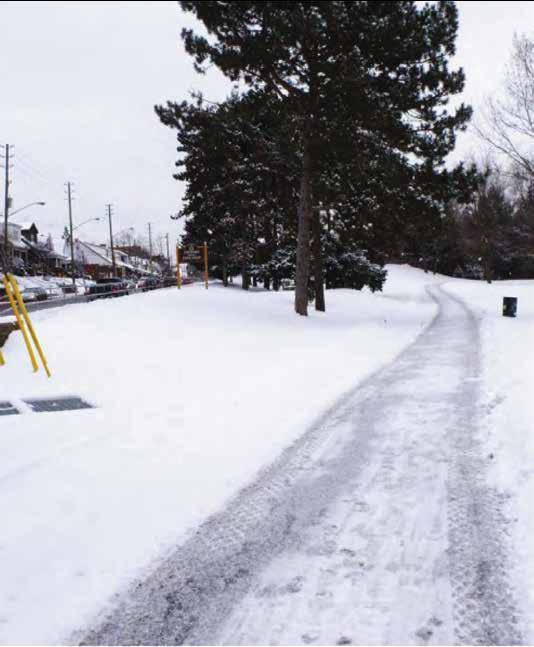
Fig. 5. Track open for vehicular movement after maintenance


EXISTING CONTEXT
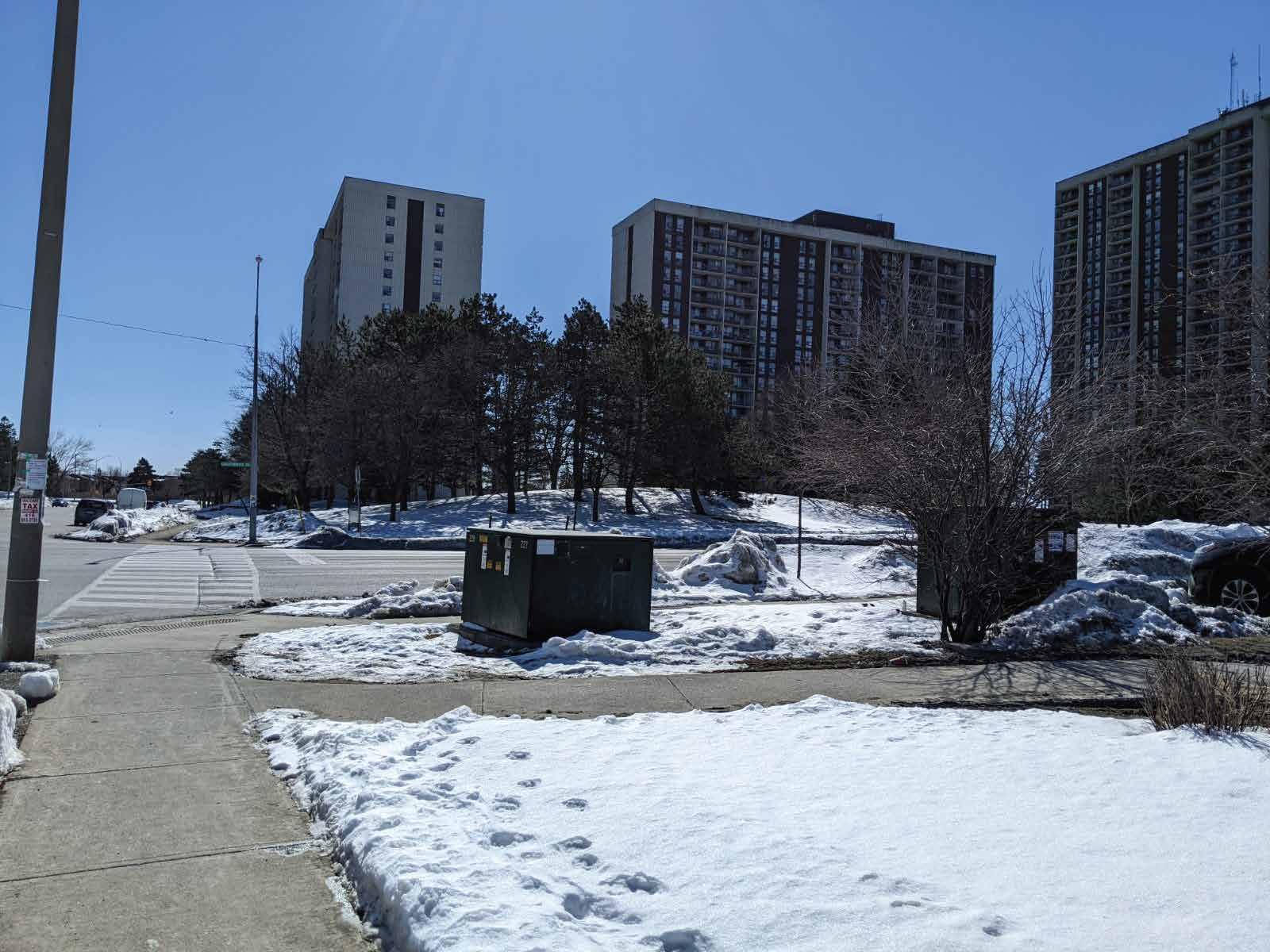
Fig. 6. Bramalea MTSA Boundaries
Fig. 7. Bramalea MTSA Boundaries
Fig. 8. Bramalea MTSA Boundaries
Fig. 9. Bramalea MTSA Boundaries
Fig. 10. Bramalea MTSA Boundaries
Fig. 11. Bramalea MTSA Boundaries
Fig. 12. Bramalea MTSA Boundaries
Fig. 13. Bramalea MTSA Boundaries
Fig. 14. Bramalea MTSA Boundaries
Fig. 15. Bramalea MTSA Boundaries
Fig. 16. Bramalea MTSA Boundaries
Fig. 17. Bramalea MTSA Boundaries
Fig. 18. Bramalea MTSA Boundaries
Fig. 19. Bramalea MTSA Boundaries
Fig. 20. Bramalea MTSA Boundaries
Fig. 21. Bramalea MTSA Boundaries


EXISTING CONTEXT
Fig. 22. Bramalea MTSA Boundaries
Fig. 23. Bramalea MTSA Boundaries
Fig. 24. Bramalea MTSA Boundaries
Fig. 25. Bramalea MTSA Boundaries
Fig. 26. Bramalea MTSA Boundaries
Fig. 27. Bramalea MTSA Boundaries
Fig. 28. Bramalea MTSA Boundaries
Fig. 29. Bramalea MTSA Boundaries
Fig. 30. Bramalea MTSA Boundaries
Fig. 31. Bramalea MTSA Boundaries
Fig. 32. Bramalea MTSA Boundaries
Fig. 33. Bramalea MTSA Boundaries
BASE
MAPS
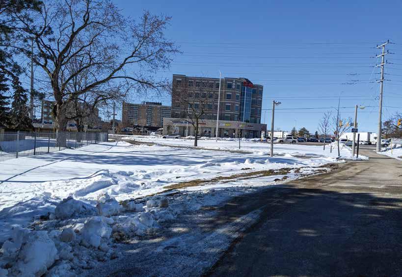
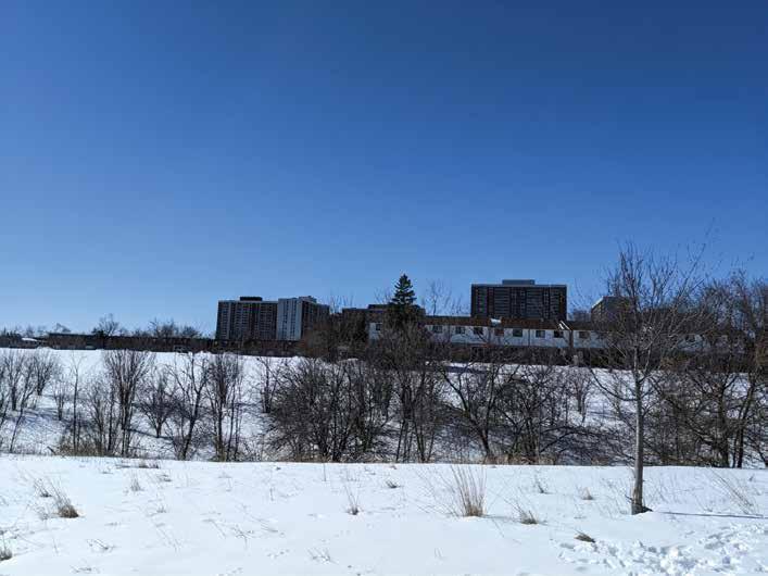
Fig. 34. MTSA within its city-wide context
Fig. 35. MTSA within it’s immediate area
Fig.,36. MTSA within its city-wide context
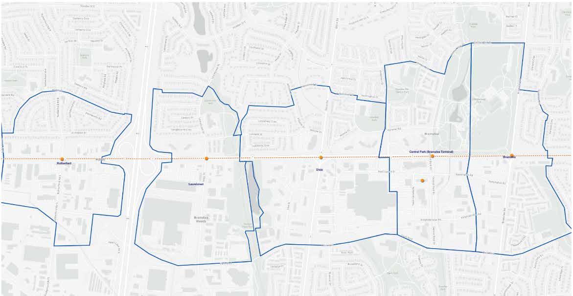
The overall analysis findings of the Bramalea MTSA located at Queen St & Bramalea Rd there has been a signifcant development with the implementation of the BRT system within the past 10 years down on the Queen St Line (Zum 501/501A/501C).
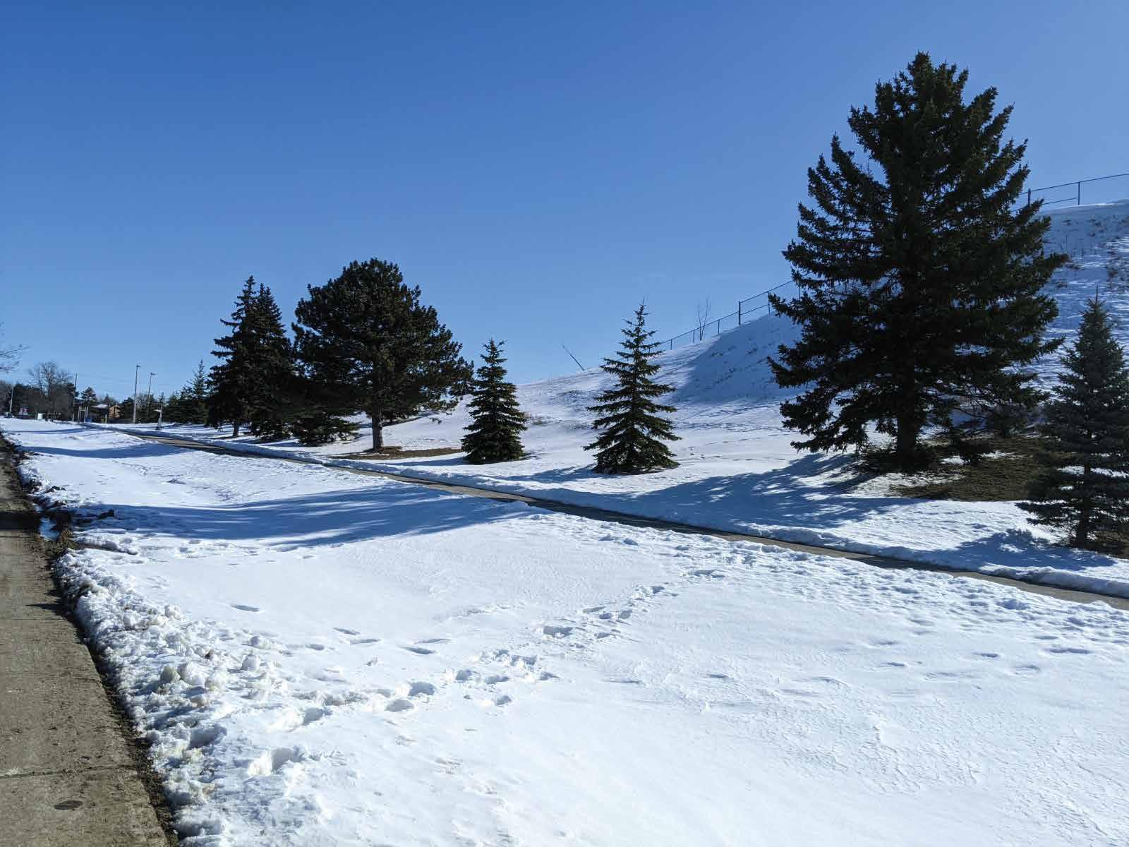
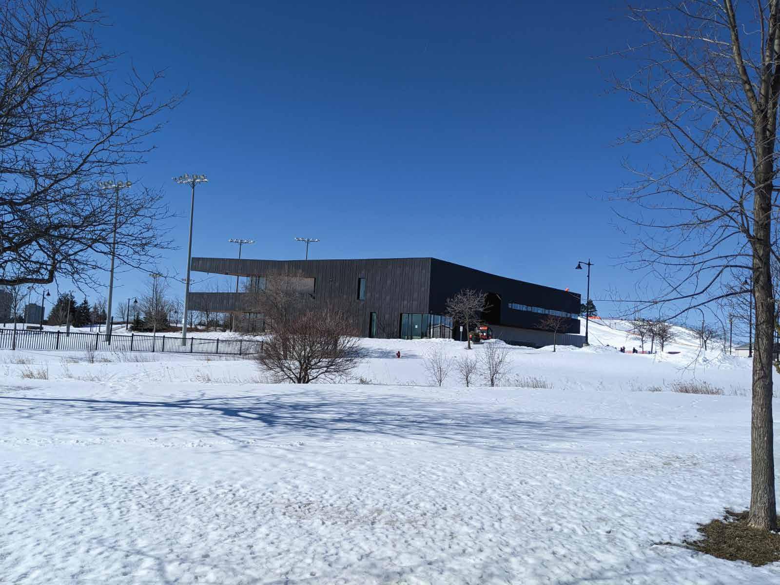
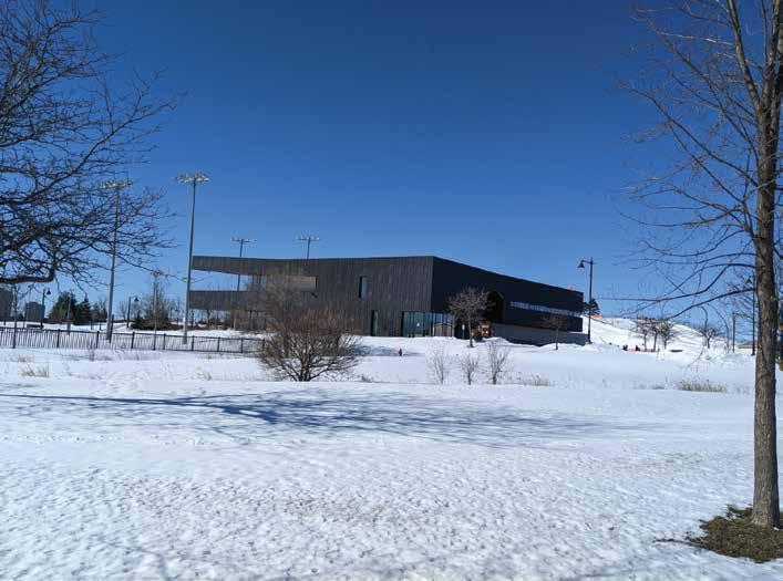
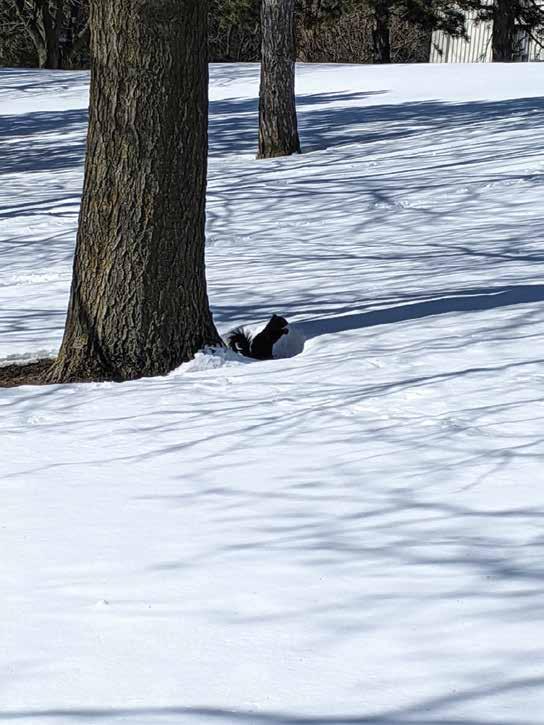
The area of Bramalea MTSA site is located in part well-known park called, Chinguacousy Park. This park is a great place to visit throughout the year, during the winter season there is a hill where people would go skiing and there would also be a skating rink where people would go to skating. During the summer months, other activities take place, during Canada Day fireworks would take place at this location for the City of Brampton.
The implementation of a rapid route that reflects its surroundings is suitable for this area since it’s a well-dense neighbourhood when it comes to the demographic of the area, looking at the 2040 growth plan there is alot of development that will happen near Bramalea City Centre which would impact the overall section of Bramalea MTSA in a good way. Generally, in the area there are alot of residential buildings which are either townhouses, bungalows, semi-homes or single homes along with apartment buildings.
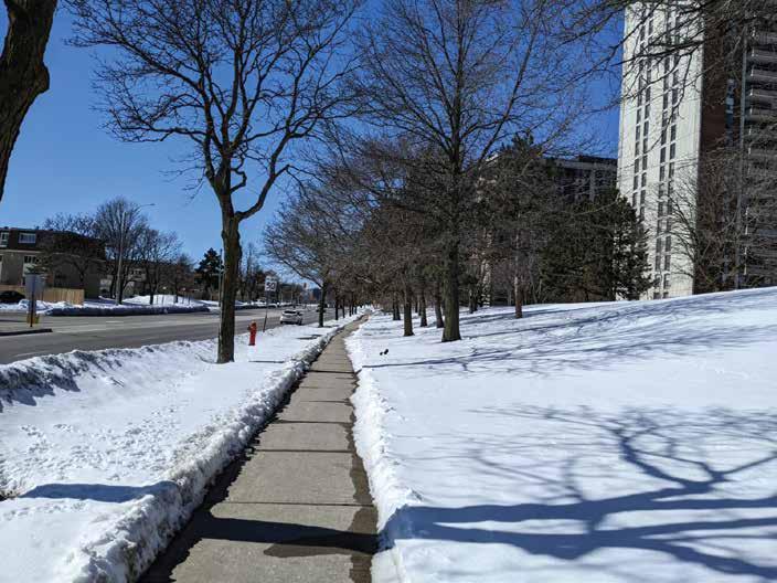
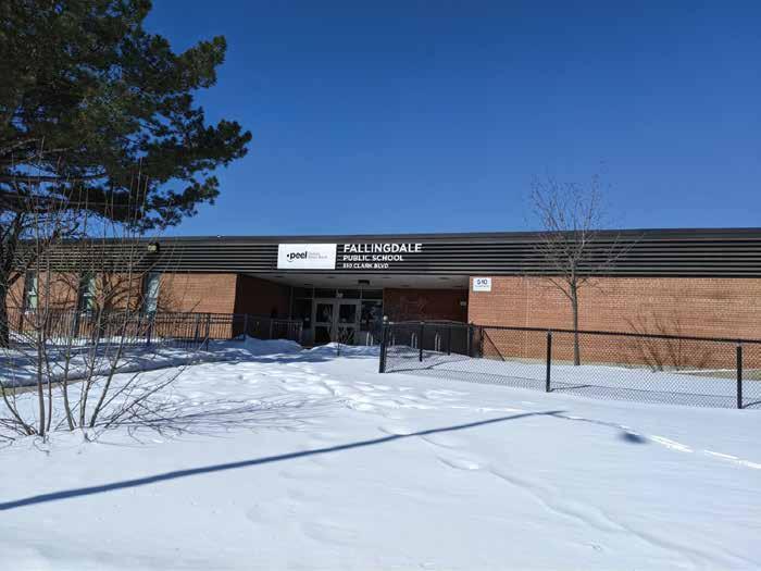
Most of the Bramalea MTSA is occupied by Chinguacousy Park, there is one school within the area named Falling Dale Public School which is under the Peel District School Board. There are a few mixed-use buildings within the area, one being at the corner of Queen St & Bramalea and the other at Bramalea & Kensington Rd.
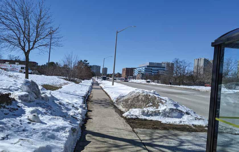
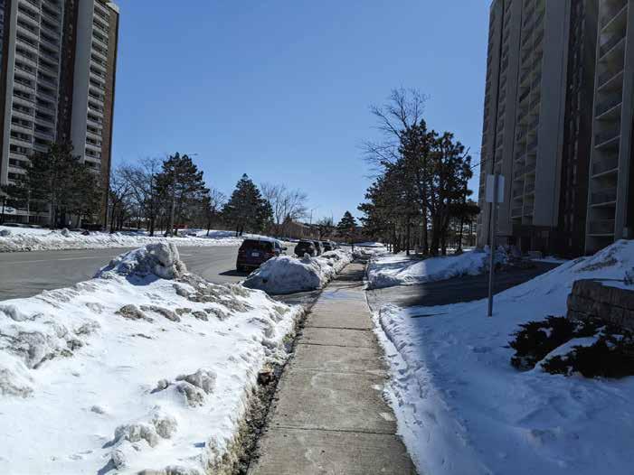
Getting around the area of Bramalea MTSA is very pedestrian friendly in terms of accessibility and mobility of movement from getting from one area to another. The placement of Bramalea MTSA is in a great place which is suitable for the growth of the neighbourhoods.
SITE ANALYSIS
Fig. 37. MTSA within its city-wide context
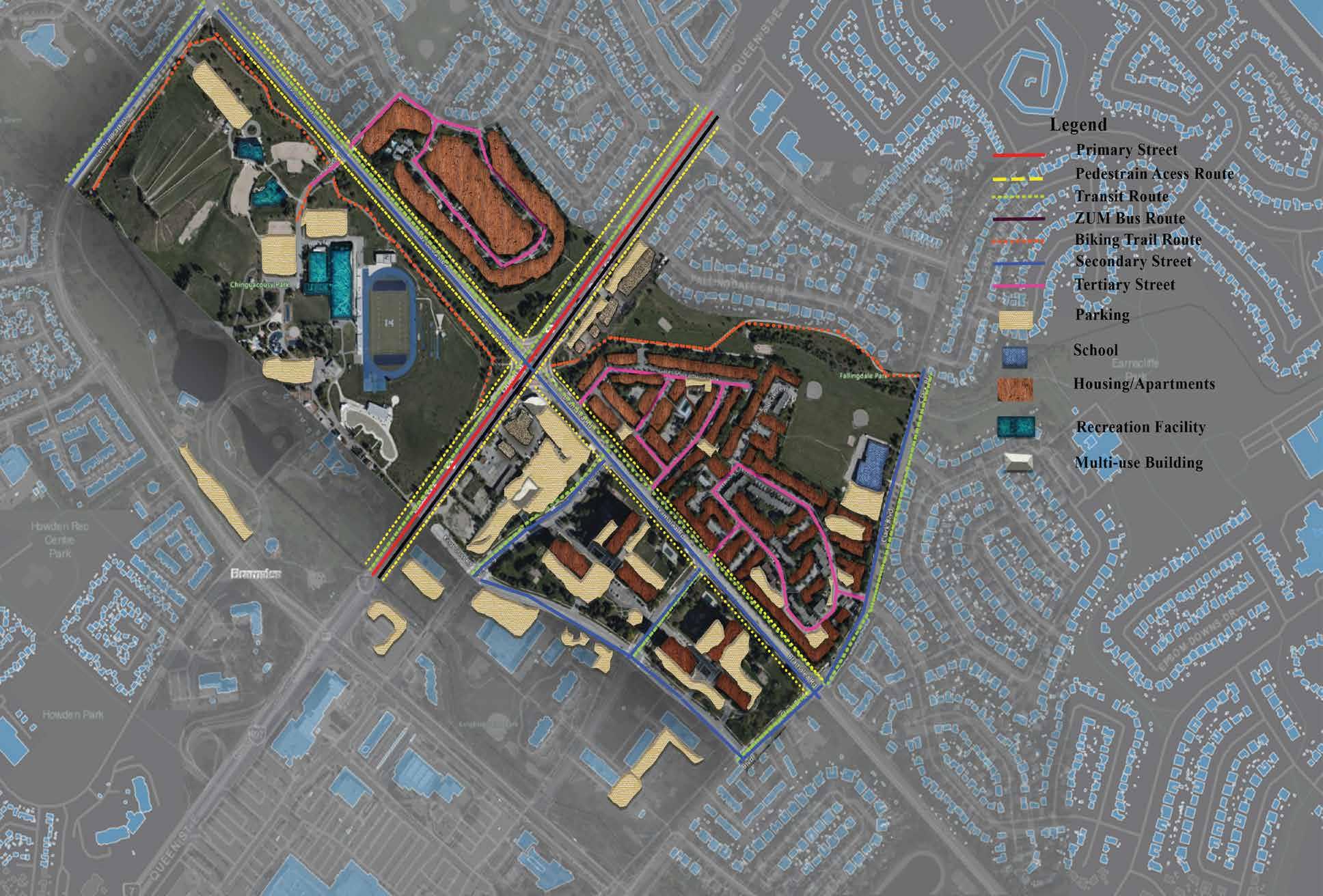
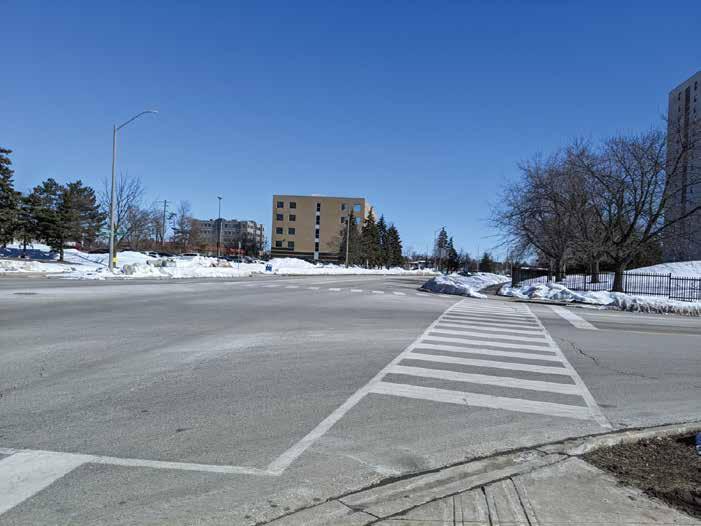
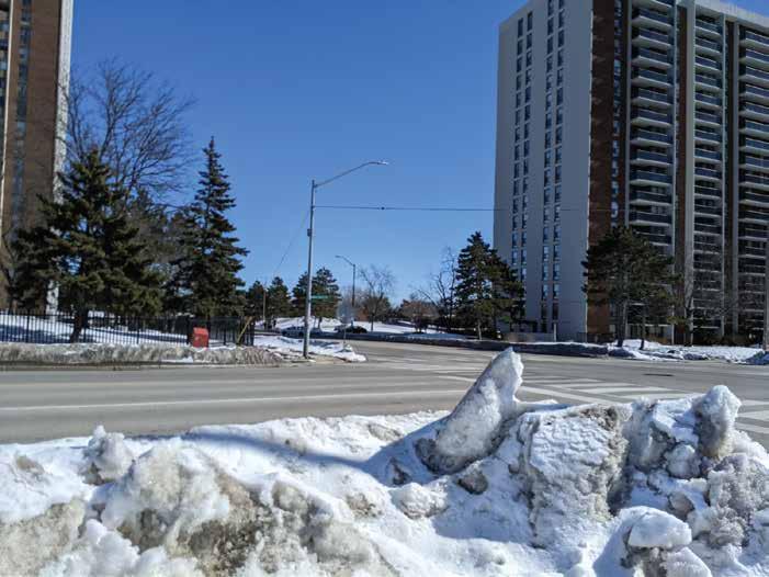
Primary Street: ( Queen St East )
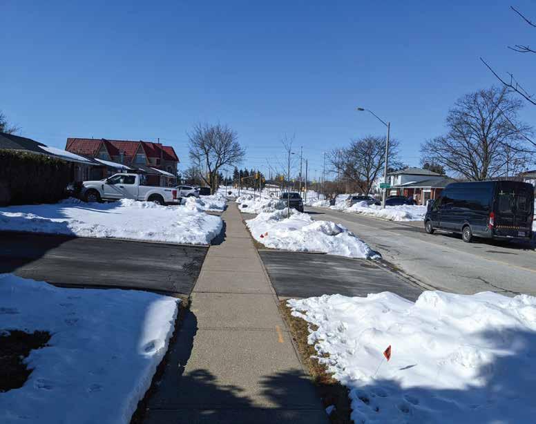
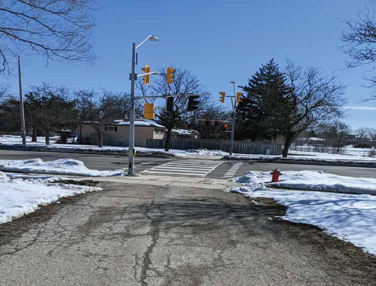
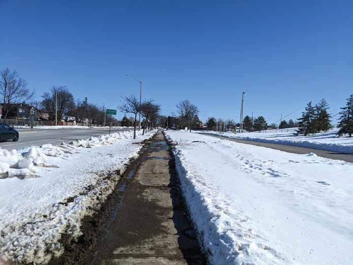
This street is a Multi-Lane street with broad lanes and has pedestrian access on both sides.
Ease of movement throughout the surrounding area of Bramalea MTSA consists of:
• Public Transport Services
• Cycle use would include routes and dedicated lanes
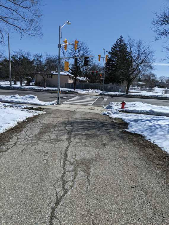
• Pedestrian Crossing designation around intersections with markings
Secondary Streets: ( Bramalea Road, Kensington Road & Knightsbridge Road)
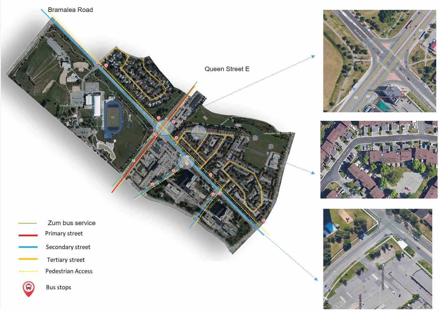
These streets here have double lanes with pedestrian access on both sides.
Tertiary Street: ( Gates of Bramalea, Fleetwood Cresent )

At this location the streets are single laned with a mixed-use intent with pedestrian lane access.
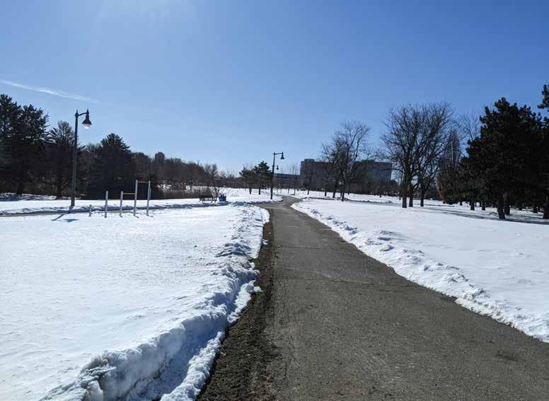
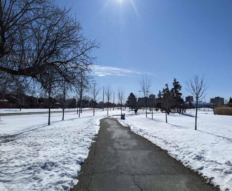
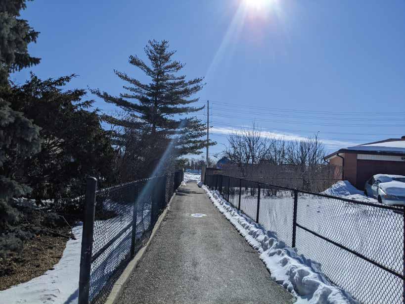
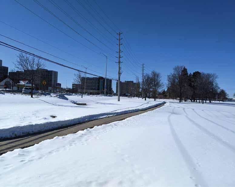
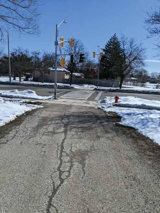
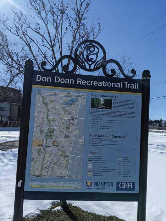
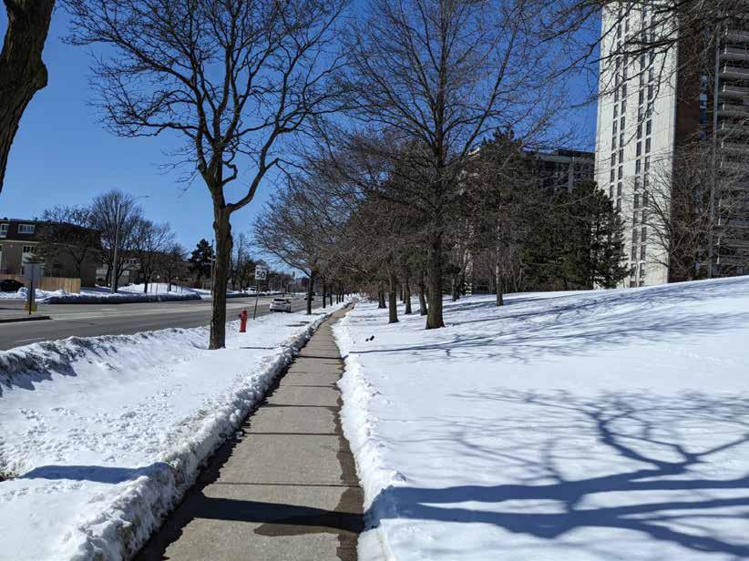
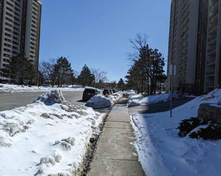
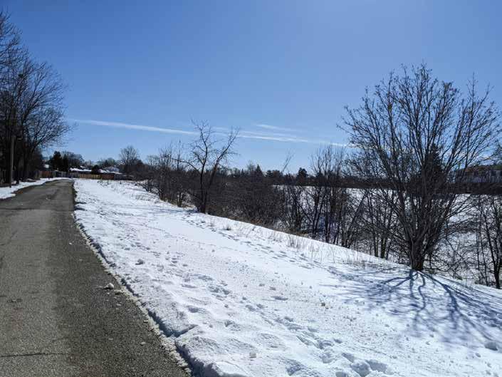
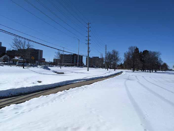
• Trails that connect one area to another, for example, Don Doan Recreational Trail running through Falling Dale Park
Fig. 39. Primary Street
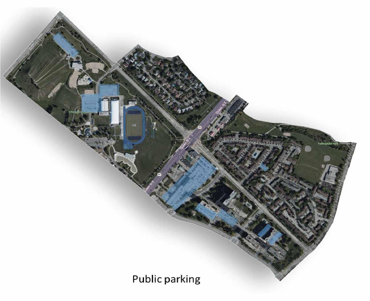
Fig. 42. Public Parking Areas
Fig. 43. Bike Trails
Fig. 38. Transportation Map
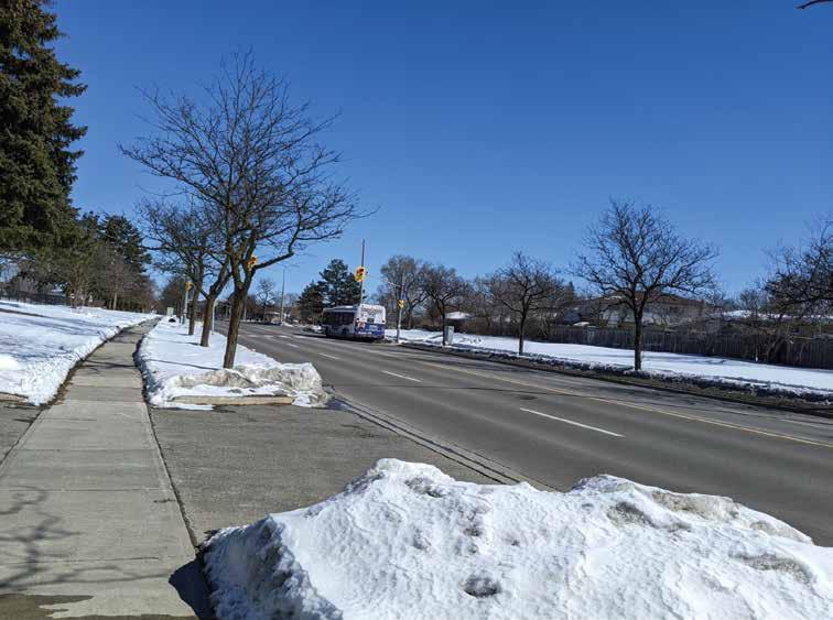
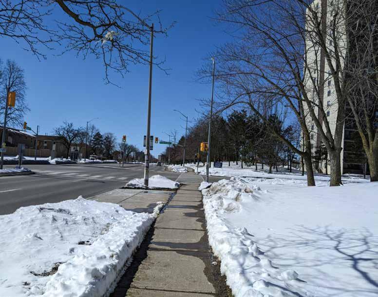
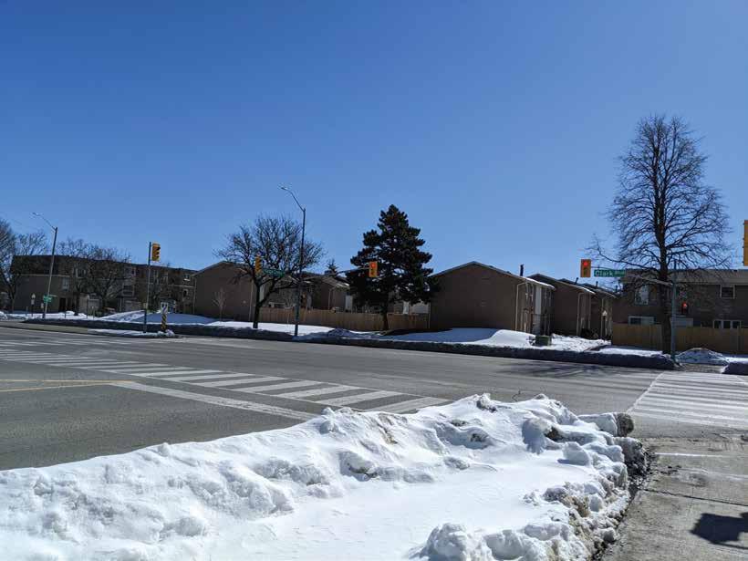
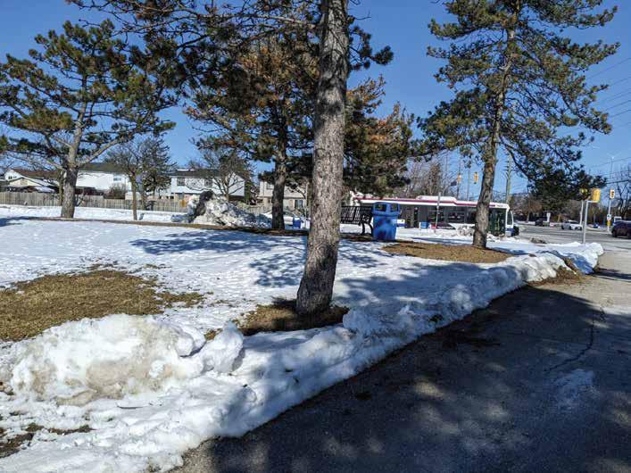
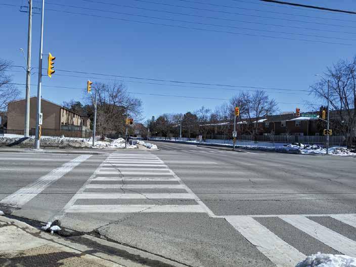
Fig. 44. Transit Stop at Bramalea & Clark Blvd
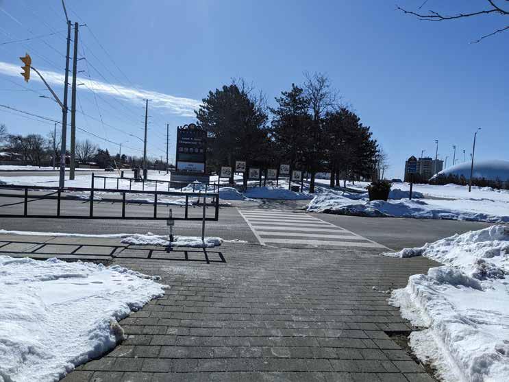
Fig. 45. Bramalea Rd & Goodwood Road at the main entrance.
Fig. 46. Approaching Clark Blvd out of Falling Dale Park.
Fig. 40. Secondary Street
TRANSPOTATION
Fig. 41. Tertiary Street
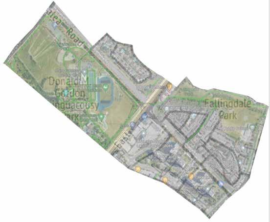
Journing throughout the site of Bramalea MSTA there are notibile views and vistas:

• Chinguacousy Park
• Along Don Doan Trail
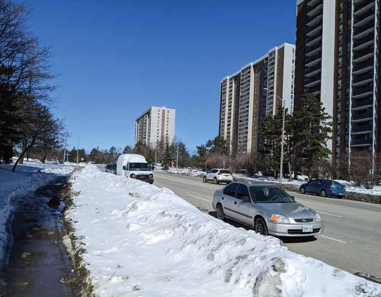
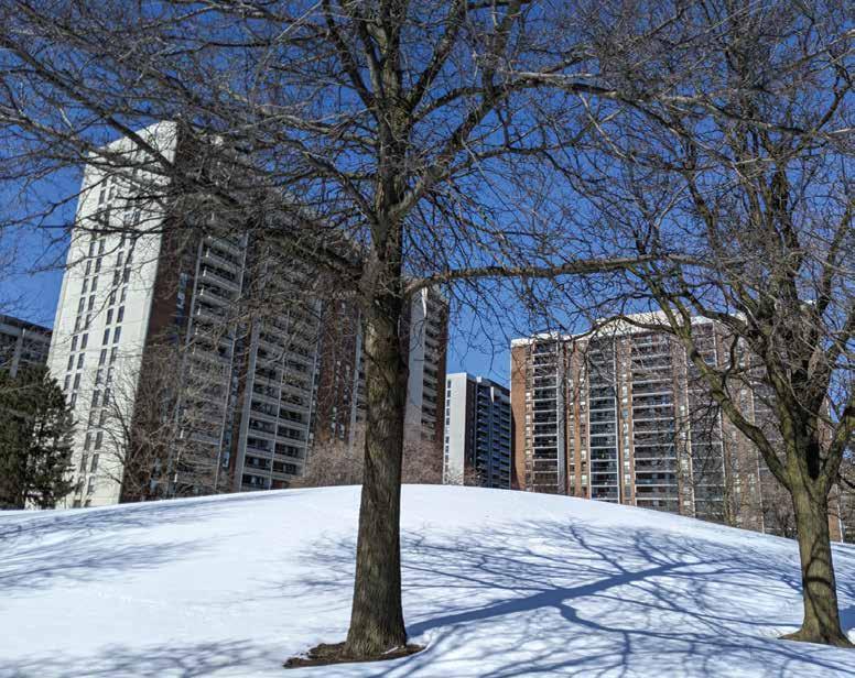
• Skyline of Bramalea City Centre area
VIEWS & VISTAS
Fig. 47. Looking out onto Queen Street East & Bramalea Road
Fig. 48. Looking towards Queen Street at Chinguacousy Park
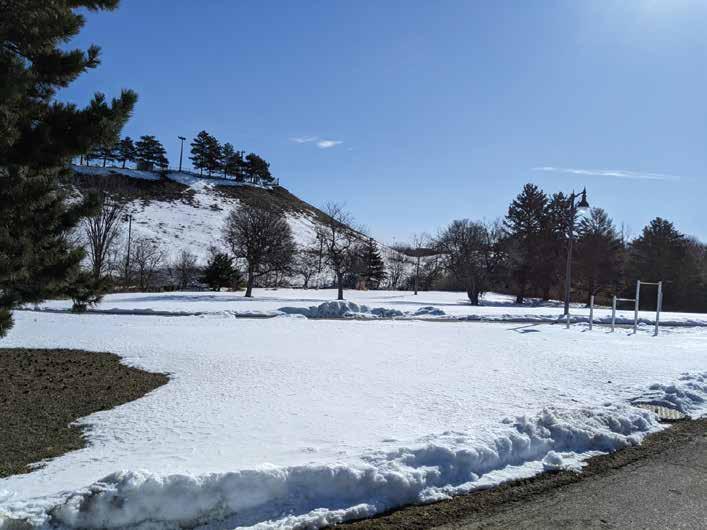
Fig. 49. Chinguacousy Park Hill
Fig. 50. Different angle of Chinguacousy Park
Fig. 51. Walking towards King Cross Road on Clark Blvd
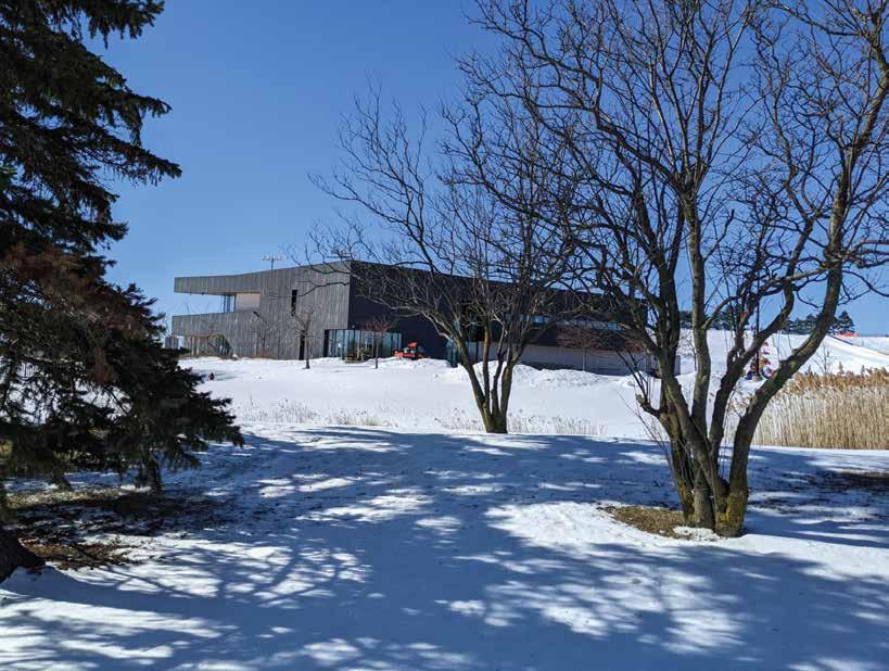
Fig. 52. Chinguacousy Park Facility Building
Fig. 53. Along Don Doan Trail looking towards Bramalea Road
Fig. 53. Looking towards Bramalea City Centre at King Cross Road
The figure-ground layers give a clear idea of the built and open ratio of the area. As shown large part of the area is open spaces in the different hierarchies and has various uses according to the land use of the zone. Roads or access points are divided according to their purpose having different widths and patterns, Primary roads are more parallel and planned manor while secondary and territory create an organic pattern. The built area is having least space have different shapes and proportions.
The map shows the grain of the area containing different orientations and massing. Three zoomed-out areas have three different patterns the first one has an organic movement area and it also contains open large open space, the second area is a commercial grain with an isolated high-rise built with mixed planned and unplanned grain. However, the third area is a residential cluster containing a fully planned built and road network which creates a safe neighbourhood.
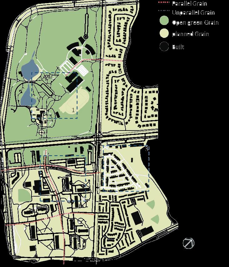
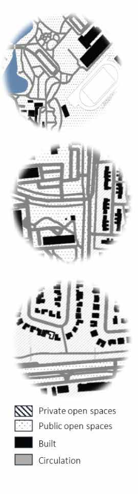
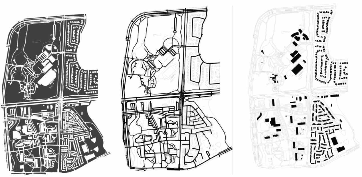
Images show various types of urban fabric which even vary according to types of the zones a swell. The strategic landscape on either side of the road with a well-designed walkway, green buffers between roads and walkways, a variety of materials in public space and a well-planned landscape, and wide roads around the commercial cluster describe the rich fabric here.
OPEN SPACE CIRCULATION SPACE
URBAN FABRIC
BUILT SPACE
Fig. 57. Urban Grain Plan
Fig. 58. Urban Fabric Plan
Fig. 54. Figure Ground Open Space Plan
Fig. 55. Figure Ground Circulation Space Plan
Multi-Use Trails
Fig. 56. Figure Ground Built Space Plan
trengths
Natural Heritage System
Future Transit-Supportive Development


Location of a Multi-Purpose Park
Transit System
Public Open Space
Multi-Use Trail
eaknesses
Bike Lanes
Built environment
Busy Intersection
Housing
pportunities
Streetscape
New Development
Renovations
Housing
hreats
Crime Infrastructure Resources
Social Risks
Takeaways
When looking at the overall SWOT analysis at the Bramalea MTSA, there is a trend when it comes down to the elements of Urban Design of an area. Most of the headings are all part of the bigger picture of what makes a complete area
The themes of the SWOT Analysis do draw a clearer picture when it comes to placemaking of the current area
It’s more or less about the current built environment on how it impacts the community

SWOT ANALYSIS
Natural Heritage System
• In the current setting of the area, there are interconnected natural features that run through the Bramalea MTSA which includes small water streams that lead into a pond for example at Chinguacousy Park
Future Transit-Supportive Development
• As the City of Brampton grows year after year there are areas within the site to add a new BRT
Location of a Multi-Purpose Park
• Proximity to a well-known park that offers a wide range of activities throughout the year
Transit System
• Within the Bramalea MTSA, there is a very reliable system in terms of getting from point A to B
Public Open Space
• As you may know by now there are a lot of open and green spaces throughout the study area which is a good thing for the communities in the area
Multi-Use Trail
• Don Doan Recreational Trail gives people the opportunity to travel through a great space that has that natural environment feeling
Fig. 59. Multi-Use Trail Connectivity
Fig. 60. Transit Mobility
Fig. 61. Natural Heritage System
Fig. 62. Multi-Use Park, Chinguacousy Park
Fig. 63. Public Open Space at Chinguacousy Park
Fig. 64. Multi-Use Trail, Don Doan Recreational Trail
Fig. 65. Room for Transit Supportive Development
STRENGTHS
Bike Lanes
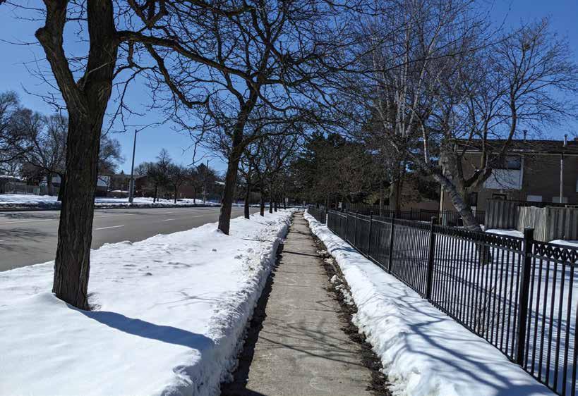
• Some of the other trails are used for biking as well but due to the width of the paths ways it could be a problem

• In the area of Bramalea MTSA, there is only one section where there is a dedicated bike lane for cyclists to use and that is on the north side of the boundaries of the site
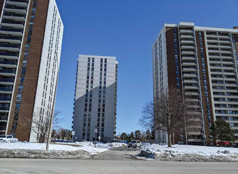
Built environment
• Throughout the area of the Bramalea MTSA, the built environments of existing buildings are starting to show their age
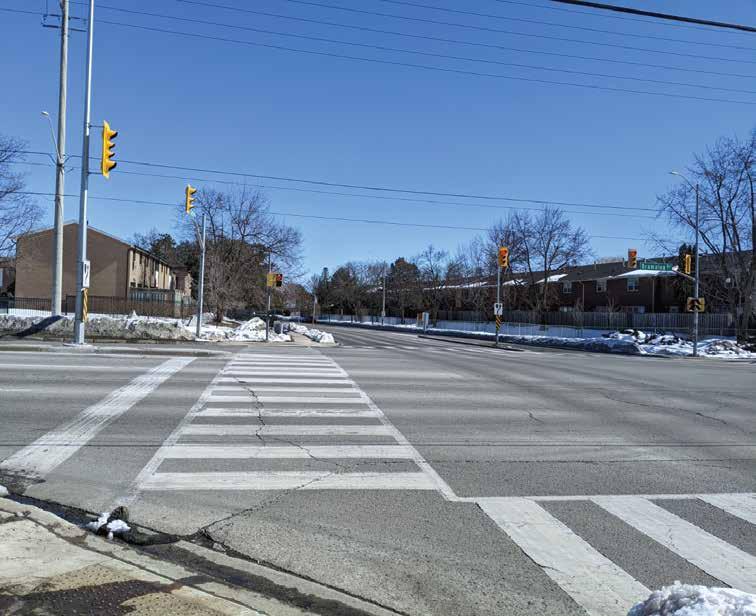
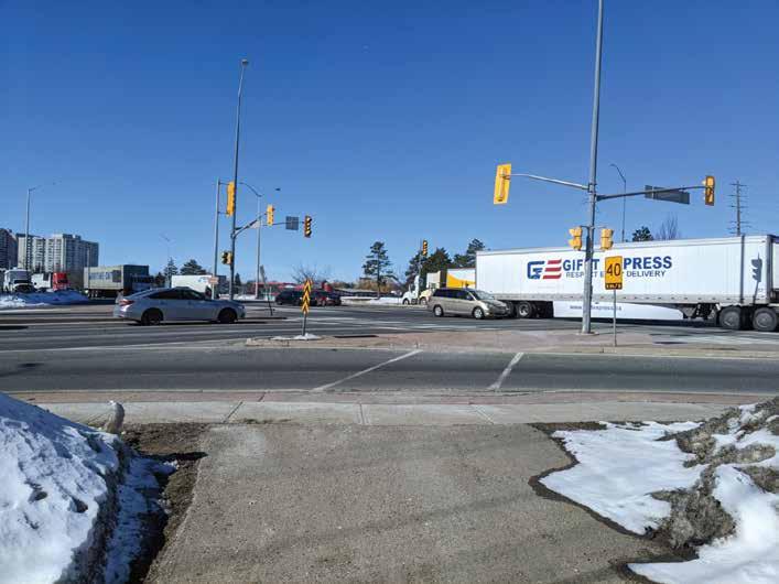
Busy Intersection
• Currently, Queen Street and Bramalea Road, it’s a very busy intersection during the week since Queen Street acts as a spine to get into and out of Brampton

Housing
• Currently, there are not enough homes within that area to support the future growth plan of Brampton for the 2040 Master Plan
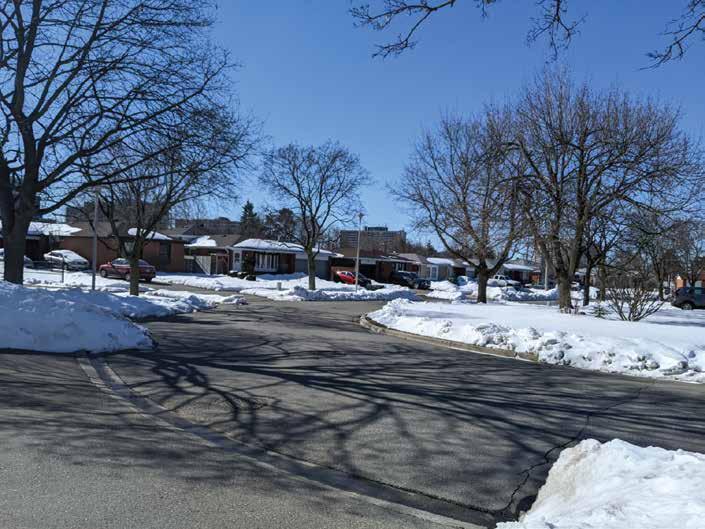 Fig. 66. Separation area of paths
Fig. 67. Housing
Fig. 68. Busy intersection at Queen Street East & Bramalea Road
Fig. 70. Sharing Path with Bike Users
Fig. 69. Built Environment of Buildings
Fig. 66. Separation area of paths
Fig. 67. Housing
Fig. 68. Busy intersection at Queen Street East & Bramalea Road
Fig. 70. Sharing Path with Bike Users
Fig. 69. Built Environment of Buildings
WEAKNESSES
Fig. 71. Only area with dedicated Bike Lanes
Streetscape
• Currently, in some areas of the Bramalea MTSA it is primarily focused on vehicles only rather than having a mix of cyclists and vehicles, this would incorporate adding dedicated bike lanes on the road, even adding lanes on the sidewalks but making the widths wider

New Development
• There are a lot of potential when it comes to the area of Bramalea MTSA, along Queen Street heading towards Dixie Road there is room for the addition of mixed-use buildings within the boundaries of Bramalea MTSA
Renovations
• Upgrading existing might be a lot cheaper to give a place an updated look compared to rebuilding from scratch, plus the timeline would be a lot shorter from start to finish
Housing
• The creation of High to mid-density units would have a good impact on the area of Bramalea MSTA, this would bring a new generation to the area since there are a long of older people who currently live within the area
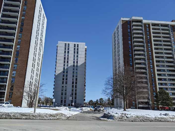 Fig. 72. Future Development Area for Mixed-Use Buildings
Fig. 73. Streetscape Design at Bramalea Rd & Clark Blvd
Fig. 74. Potential Renovation for a school
Fig. 75. Streetscape of Clark Blvd, needs bike lanes
Fig. 72. Future Development Area for Mixed-Use Buildings
Fig. 73. Streetscape Design at Bramalea Rd & Clark Blvd
Fig. 74. Potential Renovation for a school
Fig. 75. Streetscape of Clark Blvd, needs bike lanes
OPPORTUNITIES
Fig. 76. Potential Renovations of existing Buildings
Crime
• Around the Bramalea MTSA area it is a well-known area for crime and drugs, this is often due to the demographic in the area along with the area's history from years ago
Infrastructure
• With the aging of the current buildings that were built in the 1980s, along with some of the existing homes in the area. Some homes may even have asperities because of the age of the homes.
Resources
• Getting your local daily needs is a crucial activity, but not having something close by can pose a problem. In the area of Bramalea MTSA, there is one Supermarket that only offers certain produce compared to an actual grocery store. The closest one outside of the Bramalea MSTA would be at Bramalea City Centre, named Fresco or Metro.
Social Risks
• Living in the Bramalea MTSA area may have some levels of poverty when it comes to unemployment or social isolation since it is an area where there is an older demographic which can lead to mental health issues for a person.
THREATS
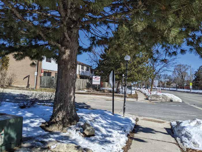 Fig. 77. Buildings built in the 1980s
Fig. 78. Buildings built in the 1980s
Fig. 81. Old homes built in the 1980s
Fig. 80. Only area with a Supermarket
Fig. 79. Tree Trunks shows the age of the area
Fig. 77. Buildings built in the 1980s
Fig. 78. Buildings built in the 1980s
Fig. 81. Old homes built in the 1980s
Fig. 80. Only area with a Supermarket
Fig. 79. Tree Trunks shows the age of the area
Land Use and Built Form
• Having an appropriate transition from one neighbourhood to another
• A combination of mix of housing that is suitable to accommodate diverse housing preferences
• Ensures that the land use planning promotes good public health
• Ensure that there is a distinct and reasonable design for all new buildings along with opened spaces
• Provide a wider variety of shops nearby that will facilitate the daily needs of residents, employees and visitors
• Provide employment opportunities to meet the current plans of the City of Brampton
Connections
• Implementation addition of a network of trails that link to open spaces and destinations
• Implementation of cycling lanes with the use of multi-use paths or adjacent the major roads or streets
Parks & Open Space
• Access to more options of parks and open spaces close to adjacent neighbourhoods
• Protection of natural areas with enhancements
• Ensure spaces are for all ages and accessible
Multi-Use Trails
• Trails should lead to core activities such as transit stations, mixed-use areas and nearby employment areas
• Trail widths should be from a range of 3-5 m depending on that type of trail, to ensure two was of pedestrian use or cyclists
• Ensure that there are multiple access points
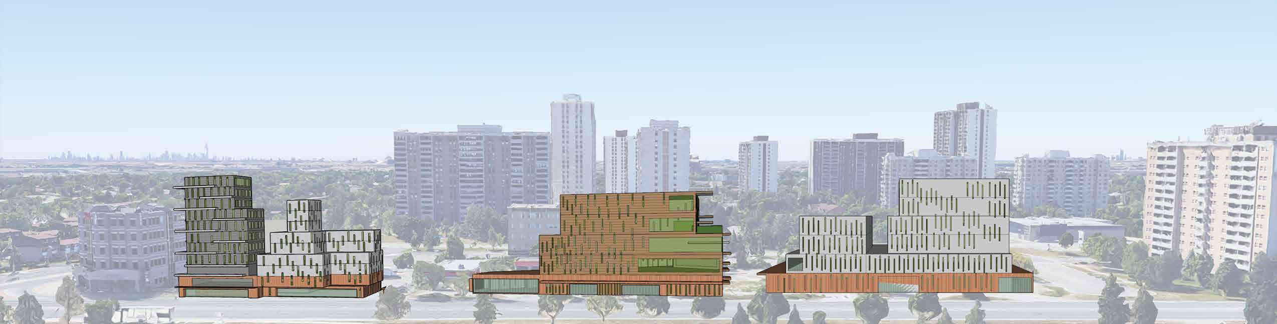
Fig. 81. Location of newly developed buildings along Queen Street
81.
PRINCIPLES & OBJ
Fig.
Current Site with new Proposed area for development
Land Use and Built Form
• The development of newly mix-use buildings shall be located and designed according to the frame and addresses of the street
• There shall be at least a minimum of a 1m for “spill-out” uses in the front of the new buildings
• Mix-use buildings shall not exceed more than 10 storeys in height, there also needs to be a minimum height of 4.5m per floor
• Setback lines for the new buildings shall take necessary steps to ensure that there are boulevards for seamless pedestrian movement and placement of sized trees
• Parking lots shall be focused underground or along the side of the buildings. Parking for bikes shall be placed near the building entrances
• Mixed-use buildings shall follow the low-rise residential forms that are nearby to ensure that there is an appropriate transition. The side of the buildings should have a 45-degree angular plane
Connections
• There shall be an integration of lanes for both pedestrians and cyclist
• Implementation of a safe crossing designation for a pedestrian at street separations
• Include signage that shows the overview of the whole site with legible graphics
• Streets shall be reinforced for pedestrians with proper street furniture and greenery for space separation
Parks & Open Space
• Ensure that the entrances of the park have designated drop-off zones with pedestrian lighting to promote safety with correct signage
• Playground surfaces and equipment shall consider the use of recycled materials
• Natural ecosystems within the site shall be protected to ensure a suitable place for wildlife and plants
• There shall not be any vehicular connections through the parkland, service vehicular will use the proposed multi-use trails
• Buildings adjacent to parks shall have enhanced safety for surveillance, and also have clear public pathways to encourage space separation of private amenities
Multi-Use Trails
• New multi-use trails and existing trails shall connect which would provide pedestrians and cyclists with opportunities for recreational use
• Where applicable ensure that multi-use trails include proper adequate amenities which include:
- Seating
- Lighting
- Signage
- Historic information
- Waste collection bins
• Ensure that different access points would promote a reliable network system, this would be focused on Transit, travelling by foot, bike, and car. Plus the entrances would follow the AODA making areas easy for people
• Where is necessary to ensure that areas are distinguishable from a pedestrians perspective so there are no conflicts
REALM GUIDELINES

