Could contain a lot of square images! - and a format with 5 or 6 squares per page is also possibel to make. Here the 4 square pages have a 2mm gap between each image.The 3 squares per page images have 3mm gap between images, and the centrefold gap is always 3mm. This keeps all

This is font size 9, and the text is


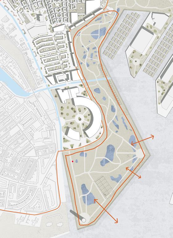
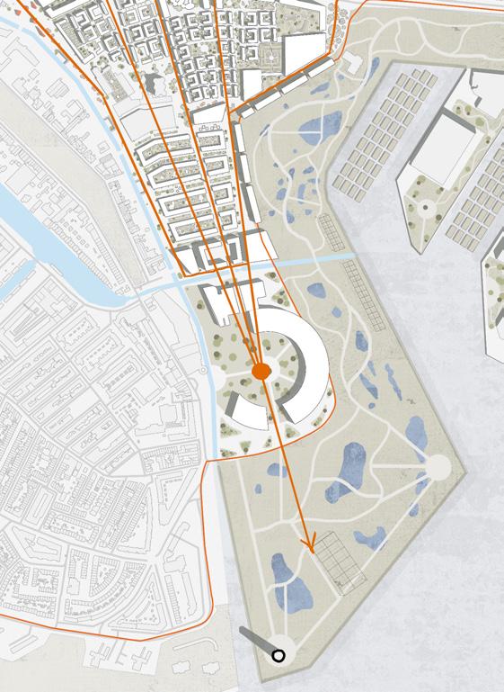
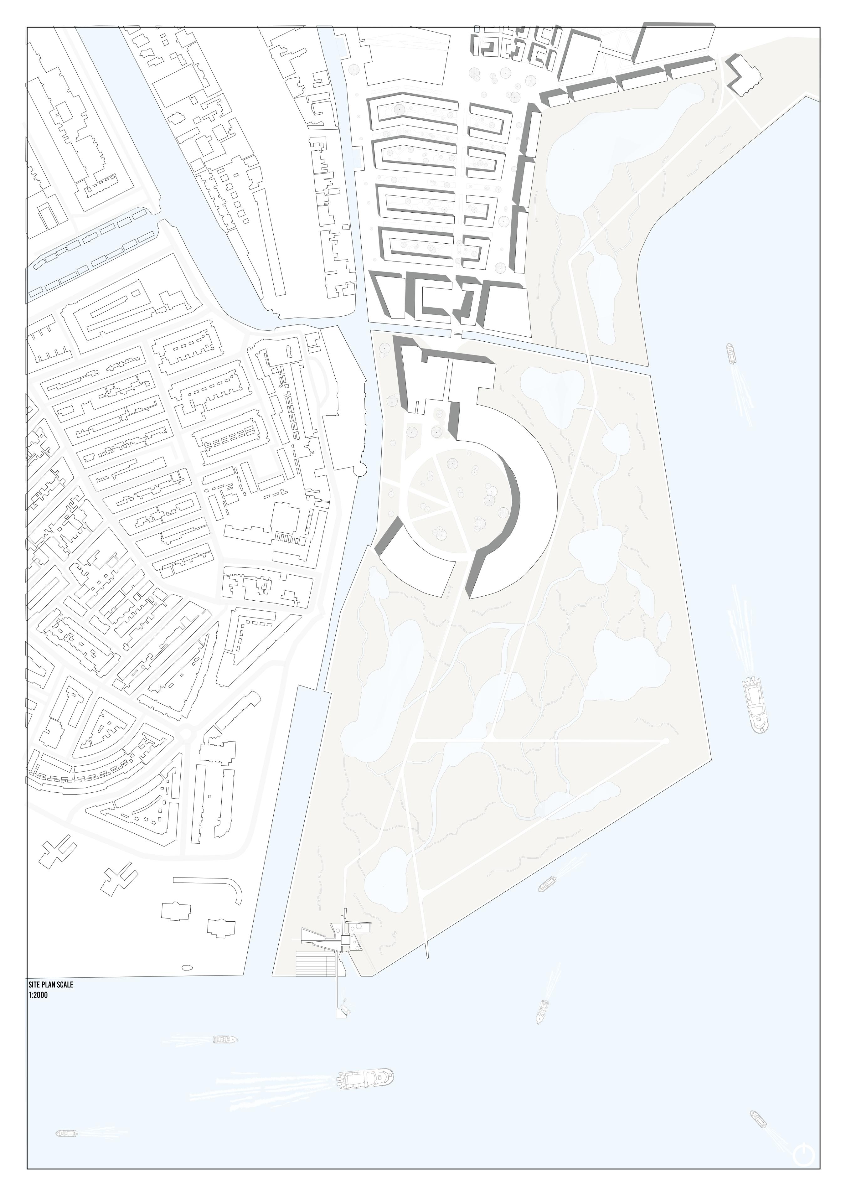
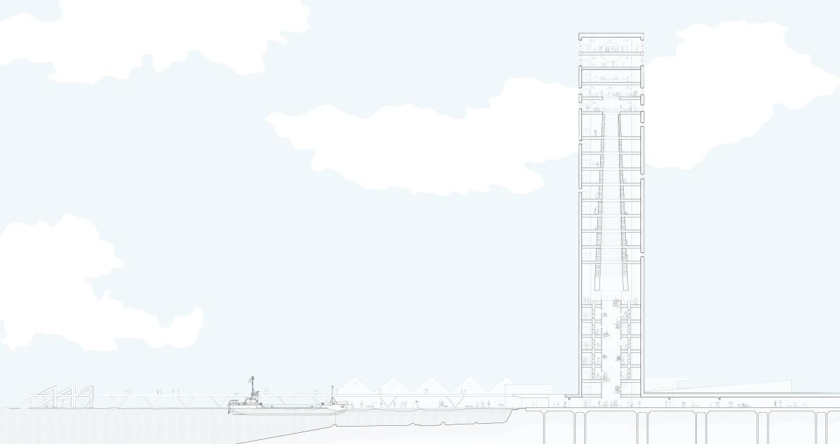
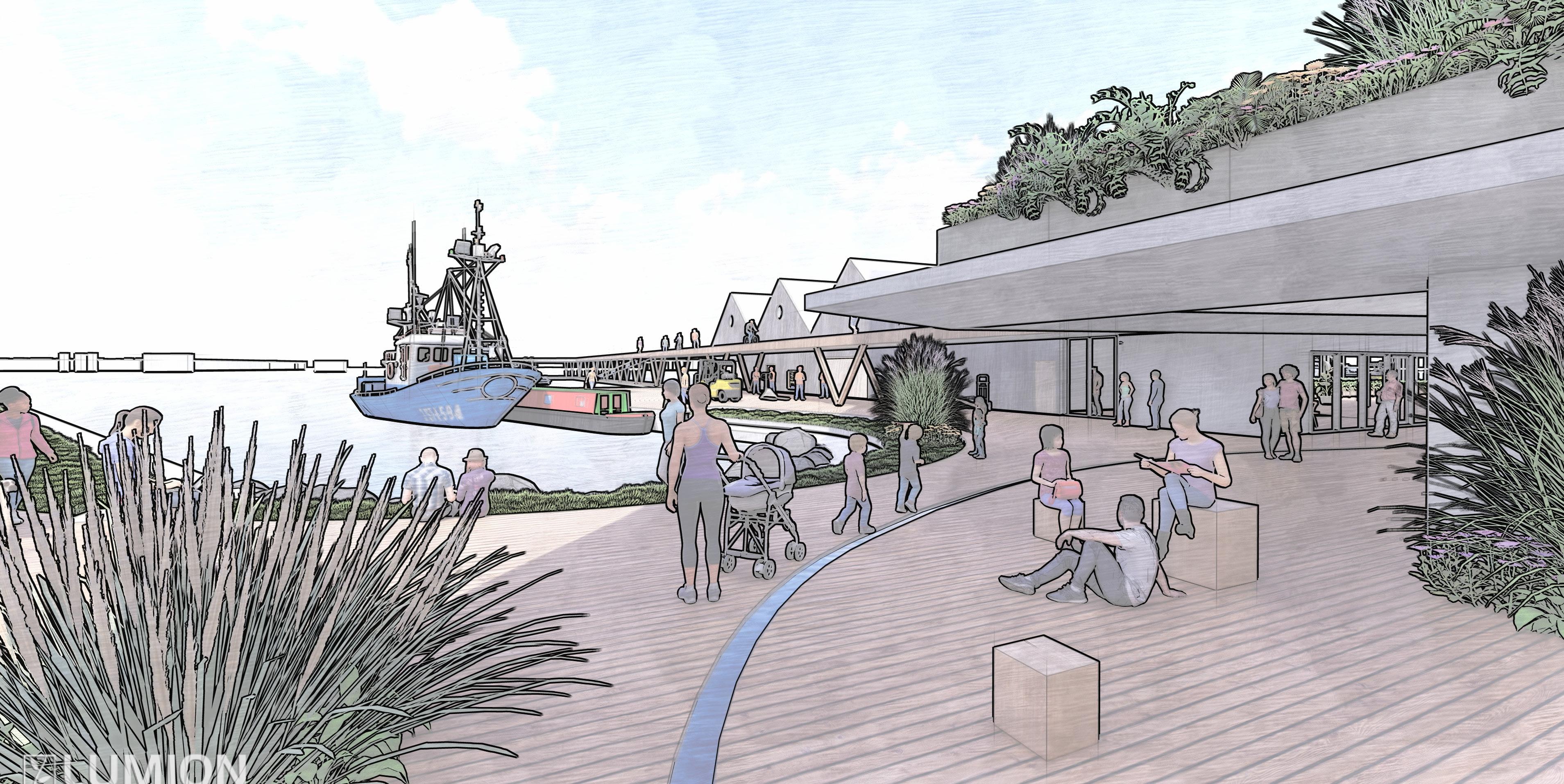
Our site is located in Schiedam, West of Rotterdam is best known for its historical centre, classical windmills and its shipbuilding heritage with deep rooted connections to the port of Rotterdam. The site is currently used for light industry due its proximity with the port of Rotterdam and is located on the edge of the River Maas, one of the major European rivers, connecting Rotterdam to the North Sea. One of the unique features of the site is the primary dike which runs through the middle, protecting Schiedam from flooding - this would come to influence the approach to the masterplan design.

understanding the site constraints
The Netherlands has a long history of flood management and due to the site’s proximity to the River Maas its important to understand historical flooding and the impact it has had on the country as a whole, as well as Schiedam. The diagrams on this page aim to simplify the different approaches to water management employed in the Netherlands.

1. Reclaiming Land - As can be seen between 1300 and 1899, an enormous amount of land was reclaimed from the sea.
2. After a disastrous flood in 1953, which left thousands homeless, it was decided more permanent flood barriers were needed and the Dutch government commissioned the Delta works, a series of large man-made flood defences.
3. Our site is partially located outside of a primary dike and for that reason is currently vulnerable to flooding, with climate change and sea water levels due to rise this is predicted to only get worse and therefore the site needs a new solution.
responding to the site constraints
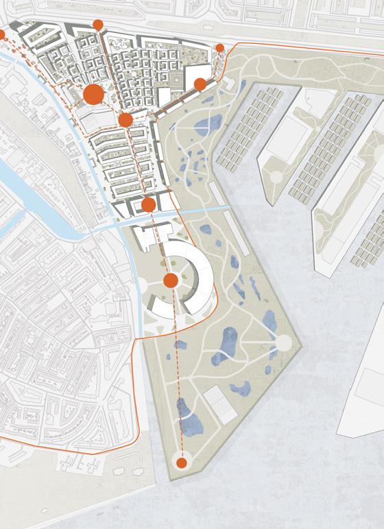
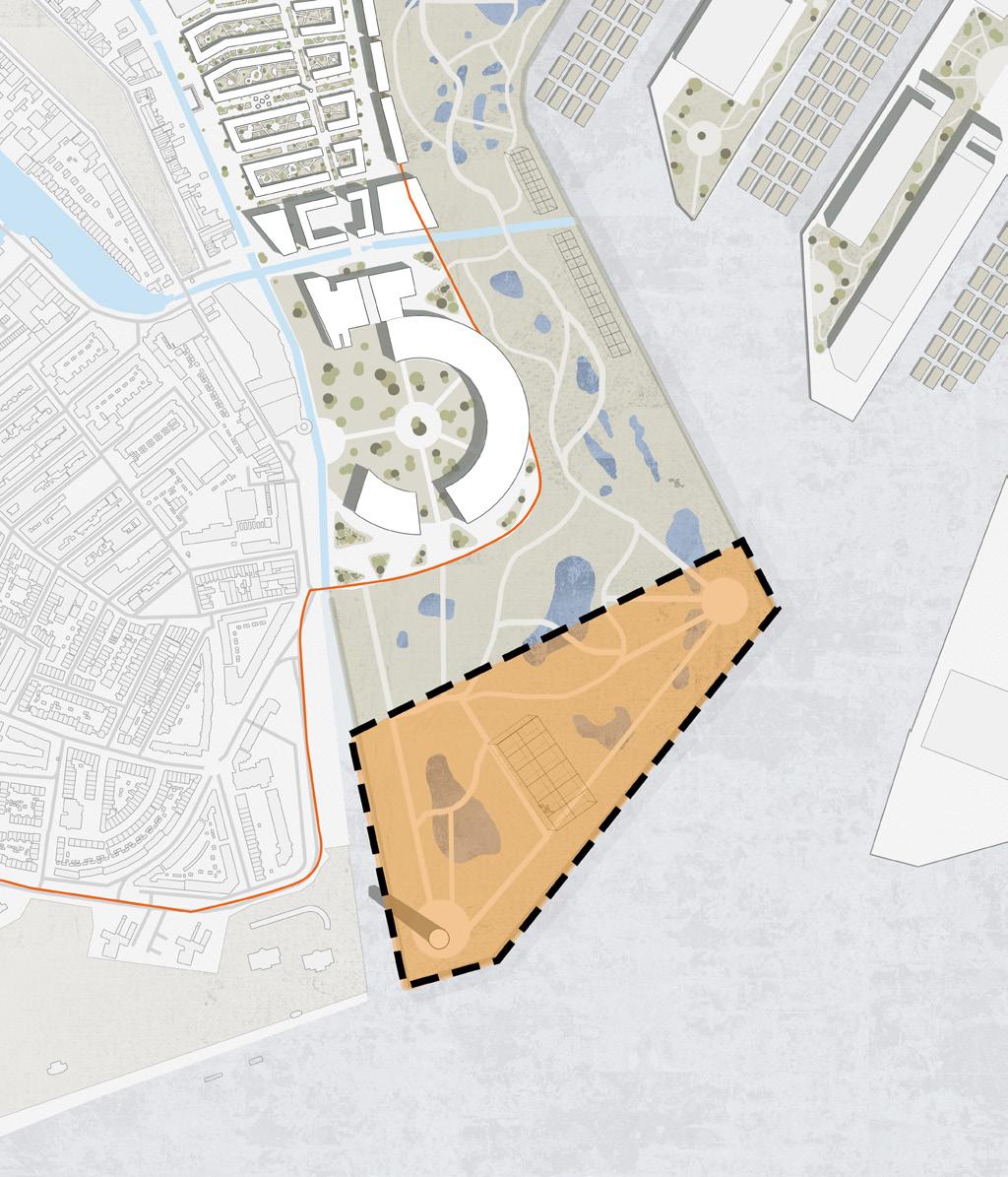
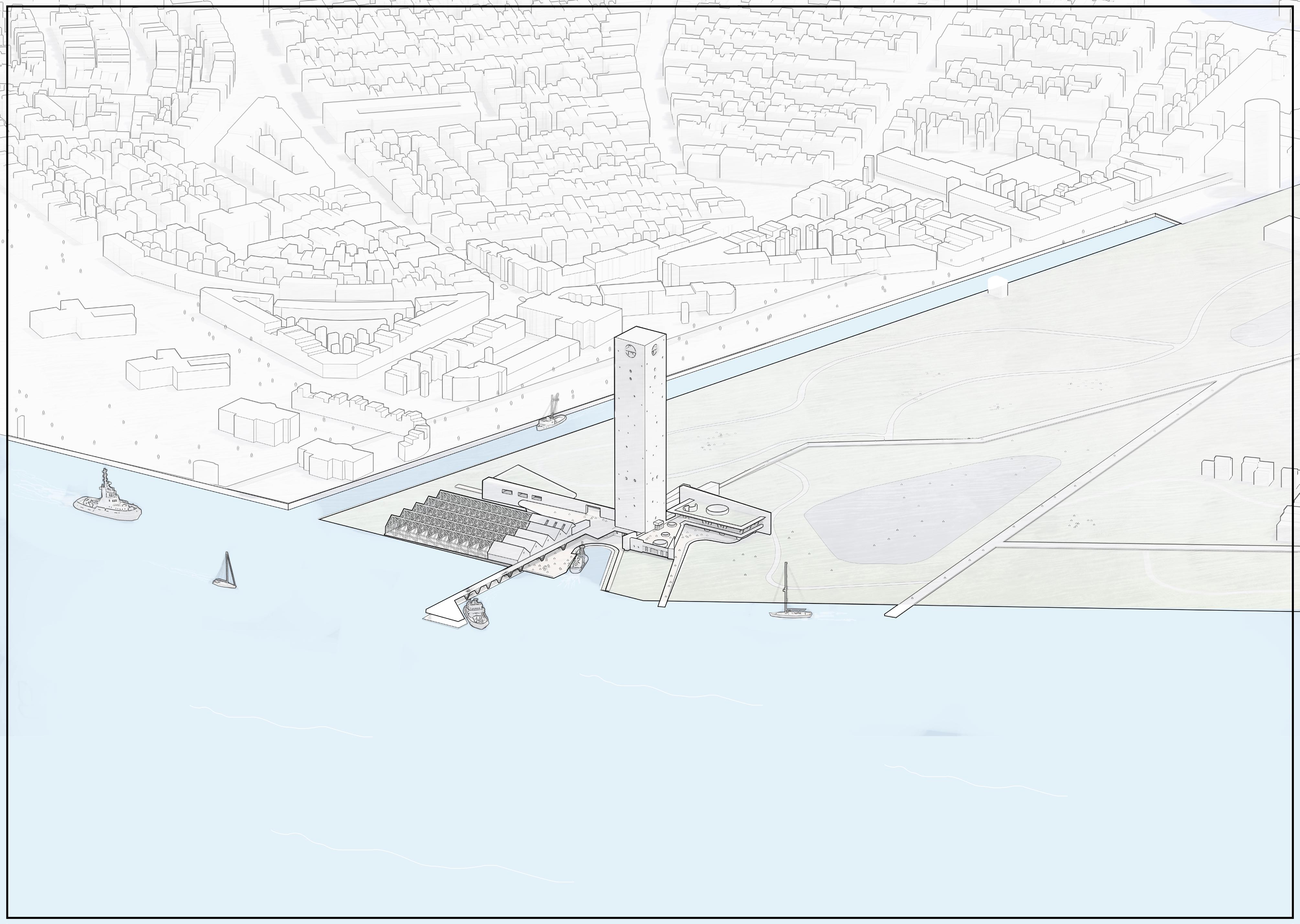
The masterplan needed to take drastic action in orders to protect the area and its residents well into the future. In these diagrams we can see just how much of the site is going to be affected by rising water levels. The masterplan addressed this issue by removing and relocating any building which is located outside of the primary dike and therefore destined to flood in the near future and consolidate all the urban fabric within the protection of the dike. Doing so would ensure that all residents and businesses would be future proofed but would ultimately mean the whole area would need to be heavily intensified to be able to contain enough programme to sustain the area - leading to much of the existing fabric, apart from some key buildings being removed and restructured.
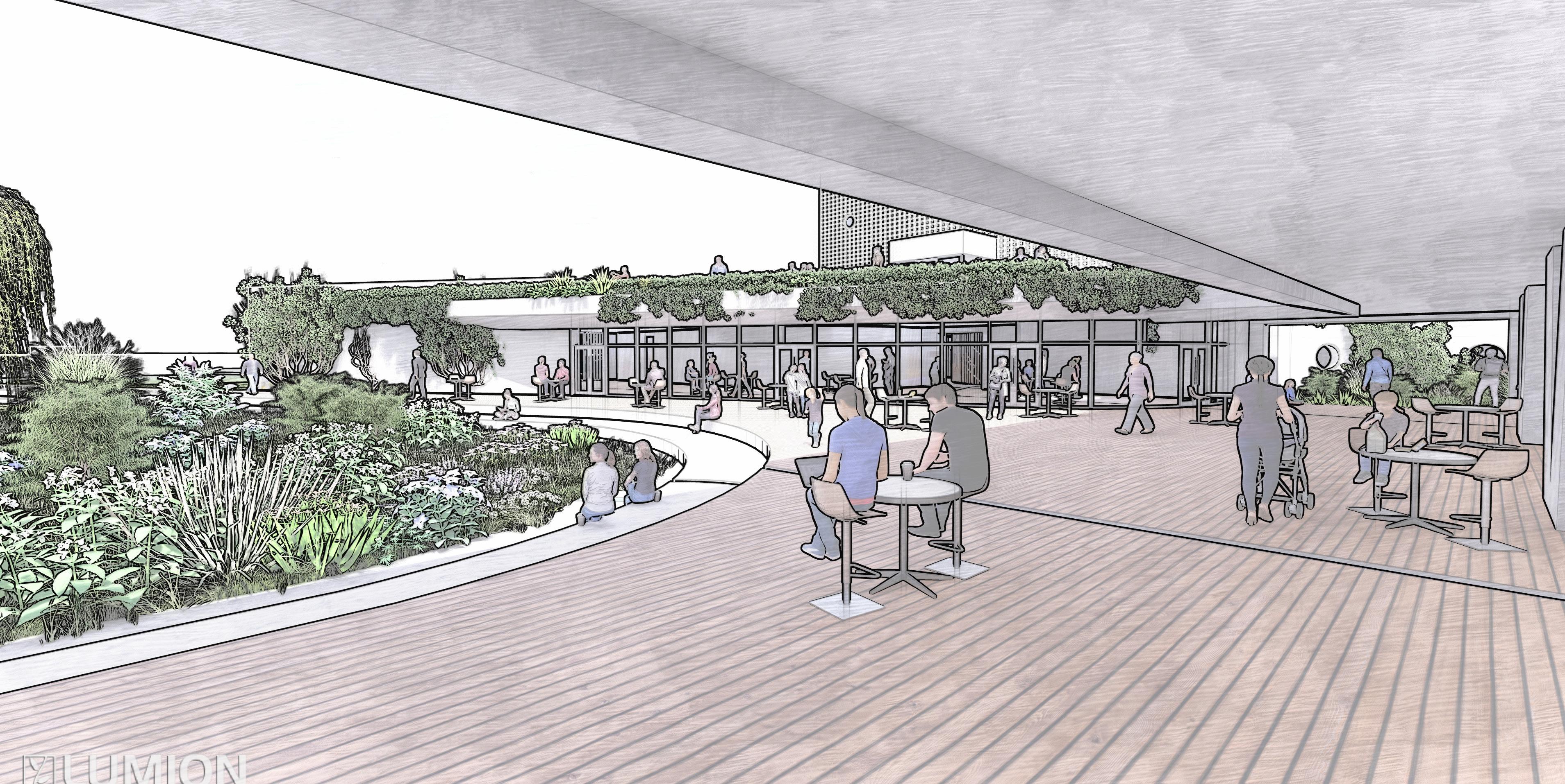
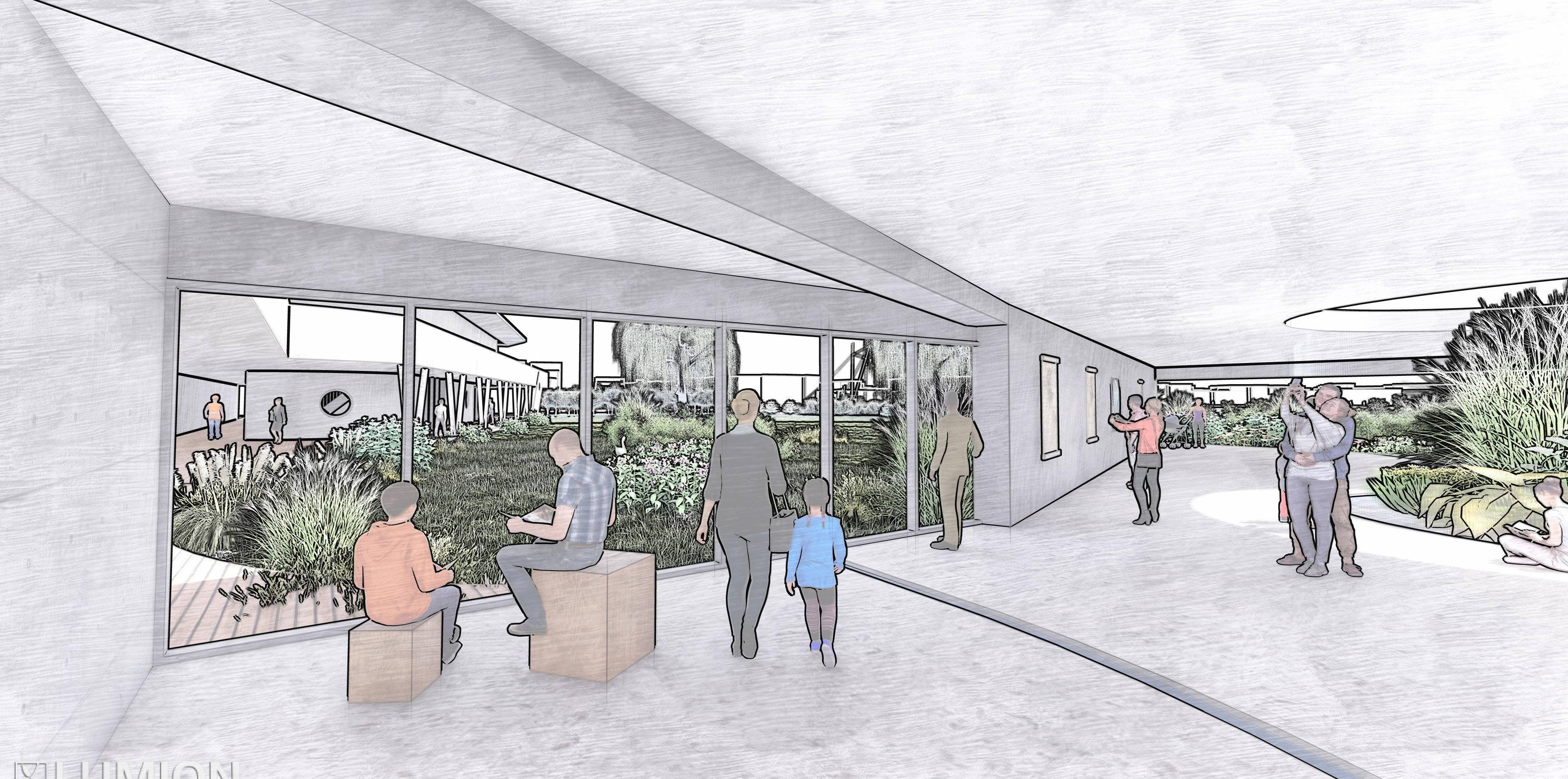
Due to the nature of the area much of the existing fabric is large industrial sheds which have been built recently and therefore the overall impact on the areas heritage would be minimal. The land outside of the dike would then be rewilded into a marshland which would from a natural barrier to rising water levels as well as attracting biodiversity to what is currently an industrial and barren site.

The extent of the marshland can be seen in the final proposal occupying 60% of the overall site area. Land inside of the dike has been restructured into dense urban blocks based on the typologies found in the local area, containing enough population to sustain businesses and public facilities in the area - encouraging tourism, economic growth and investment. On a larger scale the marshland connects in to a ‘green network’ which allows the public to use sustainable transport (walking, cycling, e-bikes) between key spaces in Schiedam, such as, parks, schools and craft centres as well as extending further afield into Rotterdam.


Phase 1:
Under-used and redundant areas of the site to be identified and temporarily programmed for agriculture. Some industries begin to be relocated leading to certain routes to be closed as no longer required.
Phase 5:
Final courtyard housing, health and education buildings, allotments and some high-density residential towers developed on north edge of site. The managed-retreat process begins as the affects of rising water levels begin to be seen along the edge and within the marsh-land.
Phase 2:
Certain buildings along canal-side identified to be retained as components of the masterplan. Remaining buildings in this area are proposed to be demolished. Temporary farming can be extended to these areas before new developments are started.

Phase 3:
Residential developments added to north area of site around the Makers’ District to initiate a local economy. Aqua-ponic farming added to the decommissioned harbour to the east of the site, addressing the loss of farming land on site. Key buildings identified for demolition to the south of the site for marsh-land to take over gradually.
Phase 4:
Two key buildings in the marsh-land identified of retention of framework for monumental erosion. Distillery botanical gardens built, with further low-density residential areas above. Existing structures east of the Makers’ District proposed for demolition with industries relocated along eastern harbour edge.
masterplan Phasing
Due to the radical nature of the masterplan, it is important to set out a phasing plan to reduce the impact on the local area as much as possible. These diagrams set out the plan to gradually remove buildings from the area, and replacing them with temporary farming spaces, before finally the new construction. By gradually introducing new residential areas it will ensure that services are not overwhelmed and the population can sustain the new facilities being creates. Due to the extend of reconstruction, the phasing could potentially take 20-30 years.


Phase 6:
Final stages of high-density residential (and sculpture park) added to north-western area of the site; the gateway to the Koemarkt / town centre. Longer-term effects of flooded marsh-lands can be seen toward the dike.