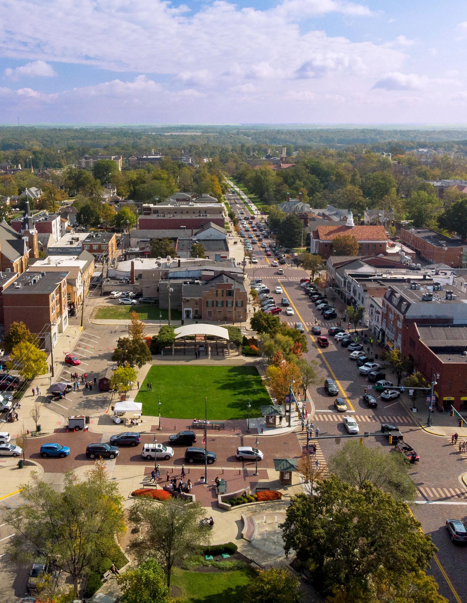

Oxford Tomorrow Comprehensive Plan

Adopted by the Oxford City Council on January 17, 2023 by Ordinance No. 3707


Adopted by the Oxford City Council on January 17, 2023 by Ordinance No. 3707

This plan was developed with the support of many individuals and organizations who donated their time, energy, and resources to share ideas and shape this plan. Special thanks to the following individuals for their contributions to this plan:
Ann Whelpton, Age Friendly Oxford
Kelli Riggs, Chamber of Commerce
J.C. Rupel, CIC
Steve Dana, Citizen at-large
Connie McCarthy, Citizen at-large
William Hazelton, Citizen at-large
David Prytherch, City Council
Mike Smith, City Council
William Snavely, City Council
Mark Boardman, Climate Action Steering Committee
Amy Macechko, Coalition for a Healthy Community
Matt Arbuckle, CRC
Kim Daggy, Enjoy Oxford
Chantel Raghu, Environmental Commission
Christopher Skoglind, HAPC
Mike Everett, McCullough-Hyde Memorial Hospital
Randi Thomas, Miami University
Scott Walter, Miami University
Heidi Schiller, OCAC
Betsy Hope, OCF/Needs Awareness Committee
Carla Blackmar, OPTAB
Kate Rousmaniere, Oxford Township
Steve Sullivan, PACO
Pat Meade, PCRRC
Shana Rosenberg, Planning Commission
Craig Bennett, Recreation Board
Connor Manley, SCRC
Ed Theroux, Talawanda School District
Michelle Miao, Youth
William Salzarulo, Youth
Harrison Cradduck, Youth
Oxford City Council
William Snavely, Mayor
Chantel Raghu, Vice Mayor
Jason Bracken, Councilor Glenn Ellerbe, Councilor Amber Franklin, Councilor Alexandria French, Councilor David Prytherch, Councilor
Oxford Planning Commission
Corey Watt, Chair Jason Bracken, Council Representative David Prytherch, Council Representative Carla Blackmar Michael Smith Shana Rosenberg Steve Dana
City of Oxford Staff
Douglas R. Elliott, Jr., City Manager
Jessica Greene, Assistant City Manager Sam Perry, Community Development Director Zachary Moore, City Planner / GIS Coordinator
Christopher Hermann, Principal Sarah Lilly, Project Manager Kyle May, Senior Associate Alyssa Saltzman, Planner
Land Use & Development Mobility Housing Economy Sustainability Culture & Recreation Community Well-being Utilities
p. 38 p. 56 p. 76 p. 84 p. 94 p. 106 p. 116 p. 126
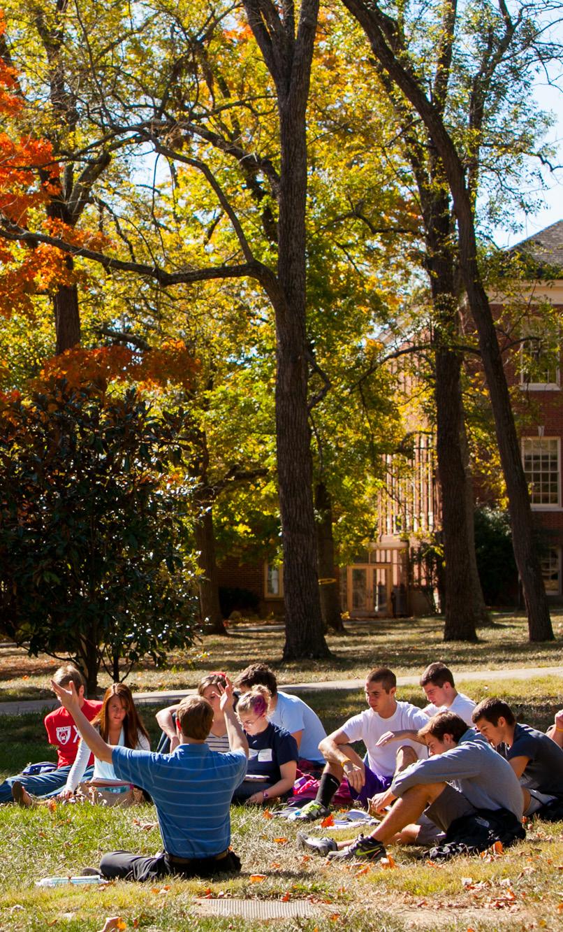
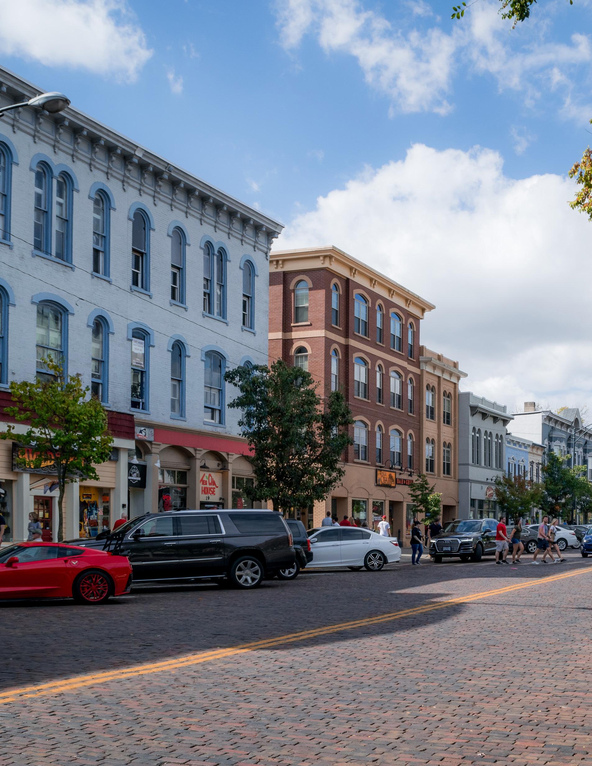
In 2021, the City of Oxford embarked on a substantial re-envisioning of our comprehensive plan. It has been 15 years since the City last adopted a comprehensive plan, and much has changed in our city, state, and nation since then. Most recently our community – not unlike so many others across the world – experienced a public health crisis which revealed many systemic vulnerabilities and threatened to disrupt our very way of life. After facing a period of uncertainty, Oxford has emerged from the pandemic with a renewed focus on the importance of planning for a safe, healthy, and equitable future.
The process of crafting the Oxford Tomorrow Comprehensive Plan involved input from hundreds of community members of all ages and affiliations. I am thankful for the time and energy contributed by many to help shape this important new plan for the future of our city. I am particularly grateful for the 30+ individuals who volunteered countless hours serving on our Comprehensive Plan Steering Committee, our hard working consultants, and the many City of Oxford staff members who spent their time and effort to make this plan a reality. Oxford is quite lucky to have such a passionate citizenry and excellent staff dedicated to making our community as beautiful, inclusive, and vibrant as it can be.
There has never been a better time to live in, and enjoy, our wonderful Oxford community. So much opportunity is on the horizon. We are a small city with a big heart. We care about all our citizens, no matter their background, politics or life circumstances. We cherish our strengths as a forward-thinking college town, but also recognize the realities and challenges that await us in the decades to come. Together, I am confident we can confront our challenges and advance toward becoming an even more diverse, livable, resilient, and sustainable Oxford.

On behalf of the Oxford City Council, I would like to extend our sincere appreciation to every individual who participated in the crafting of a bold new vision for the Oxford of Tomorrow!


The City of Oxford regularly updates its comprehensive plan to respond to changing trends, conditions, and priorities. Each time, the planning effort is based upon community input and sound planning principles designed to improve quality of life for the Oxford community. The comprehensive plan allows the City of Oxford to collaborate with residents and businesses in proactively planning for an outstanding community of choice, including: pedestrian-friendly amenities, connectivity, mixed-use environments, parks and open space, quality architecture, versatile residential choices, continued economic development, and environmental sustainability.
The Oxford Tomorrow Comprehensive Plan is the broad policy guide for the City of Oxford and its community partners in successfully guiding future decision-making. It will also be a blueprint for City Council, boards and commissions, and staff as they evaluate land use, development, redevelopment, annexation, and infrastructure decisions as well as the character, location, and extent of public investments and private development proposals in the city.
The City last updated its comprehensive plan in 2008. Since that time, much has changed in the city, the region, and the world, which impact how the community will move forward. This plan takes the current context and trends into consideration and establishes a blueprint for the community to continue to grow and thrive over the next ten years and beyond.
This plan is comprised of four chapters, which are briefly described below:
This first chapter provides background information, outlines the importance of a comprehensive plan, describes the planning process, and establishes some of the essential context for the plan, including Oxford’s growth and community profile.
This chapter summarizes the wide-reaching and robust community engagement conducted for this planning process. Findings from the various community engagement methods are also included in this chapter.
This chapter is organized into eight sections: land use & development, mobility, housing, economy, sustainability, culture & recreation, community wellbeing, and utilities. Each section describes relevant existing conditions and trends before summarizing the plan recommendations for the City and its partners to implement over the next ten years and beyond.
The implementation chapter describes how the plan vision will be realized, understanding that it will require diligence, collaboration, time, and resources. This chapter includes a matrix of the complete plan recommendations to aid the City and its partners in prioritizing and focusing efforts.
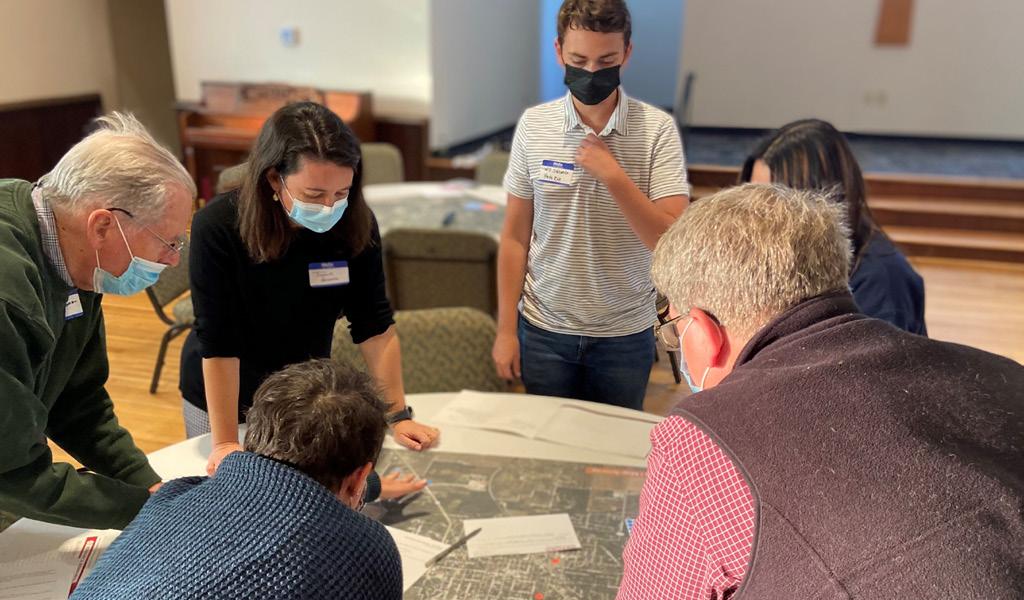
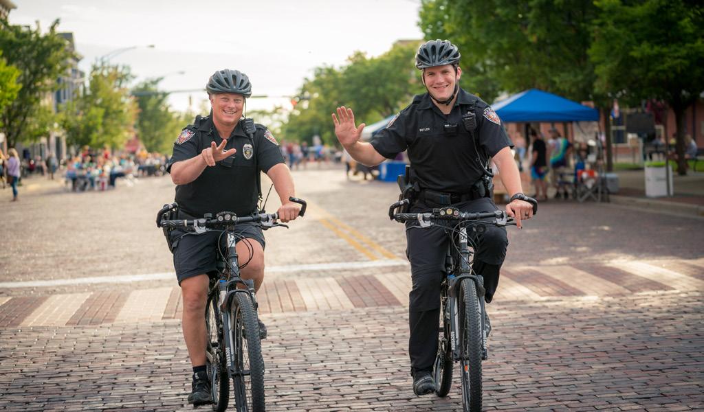

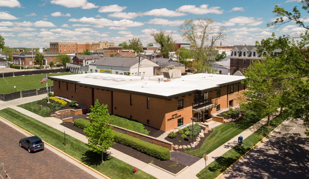
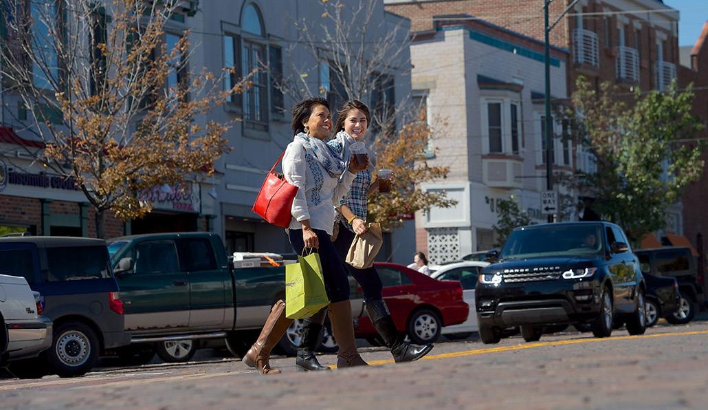

The 17-month Oxford Tomorrow process to update the comprehensive plan was spearheaded by the City of Oxford Community Development Department. MKSK, a planning, urban design, and landscape architecture firm, oversaw the planning process with guidance from a steering committee of appointed community members. The planning process combined research and analysis with community engagement that gathered ideas and feedback from more than 800 community members.
The steering committee was comprised of 30 representatives from the City, neighborhoods, businesses, community groups, students, and local institutions. The committee was formed to oversee and provide direction throughout the planning process. Committee members shared their thoughts, reviewed plan deliverables, and provided valuable feedback.
The plan was also shaped by the broader Oxford community through outreach and public meetings that invited all Oxford residents, employees, and stakeholders to help shape the future of the city.
Analysis tasks included evaluation of demographics, housing, and market trends; examination of previous plans; GIS and mapping; land use analysis; and policy and case study research. The plan compiles these layers of analysis with the community engagement findings to present detailed recommendations that are visionary, attainable, and respond to the current needs of the Oxford community.
The planning process was divided into five stages: (1) project kick-off and understanding, (2) existing conditions analysis, (3) community and stakeholder engagement, (4) plan recommendations and strategies, and (5) plan development.
October ‘21 - February ‘22
PROJECT KICKOFF & UNDERSTANDING
May - September ‘21
PLAN RECOMMENDATIONS & STRATEGIES
March - July ‘22
COMMUNITY & STAKEHOLDER ENGAGEMENT
July ‘21 - September ‘22
PLAN DEVELOPMENT July - November ‘22
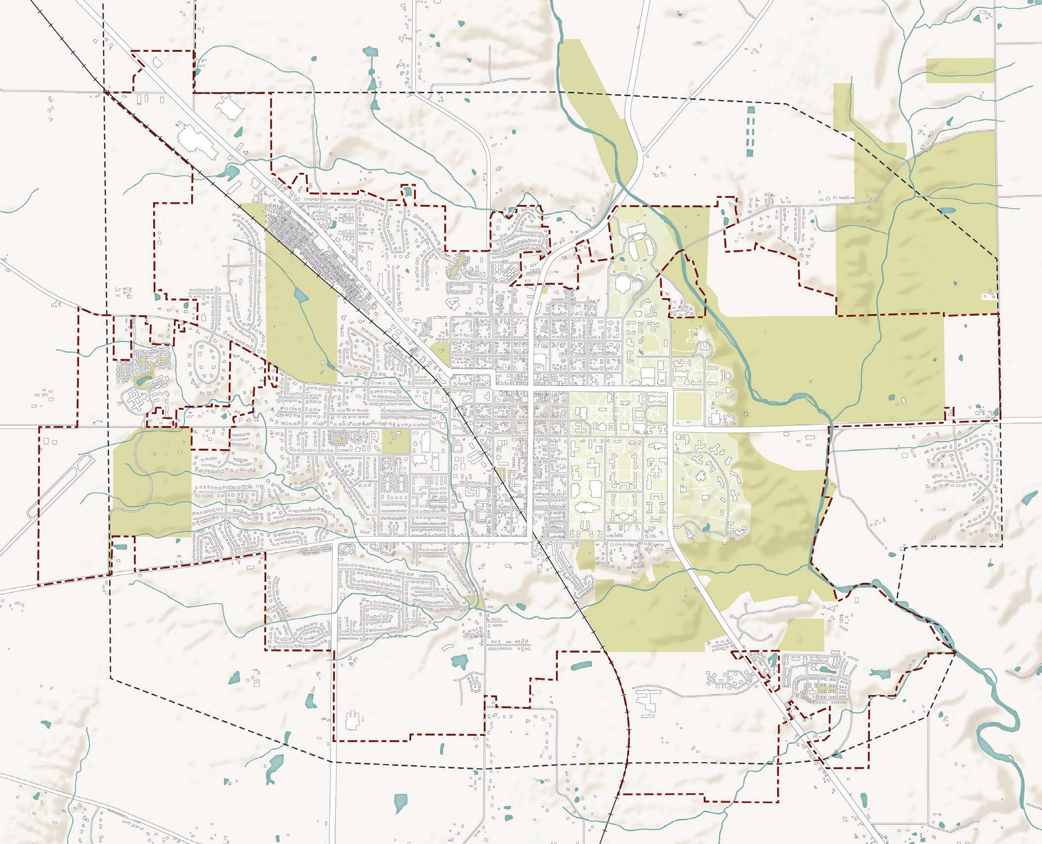
This comprehensive plan evaluates Oxford as it exists today within the current city limits, while also considering the potential for physical expansion of the city in the future. On the map above, the red dashed line represents the current city boundary. The city currently spans 7.78 square miles. Everything beyond the boundary is within Oxford Township or Milford Township. Typically, in Ohio, annexation of property from an unincorporated area of a township into a neighboring city happens at the request of the property owner. Most often, property owners request annexation to receive certain public utilities, like water and sewer service. The urban service boundary depicted on the map above, which was defined during the previous comprehensive plan effort, represents territory where the City could have potentially expanded its utility service systems since 2008. The question of where and how the City should direct its services–and consequently, growth and development–is revisited by this new plan.
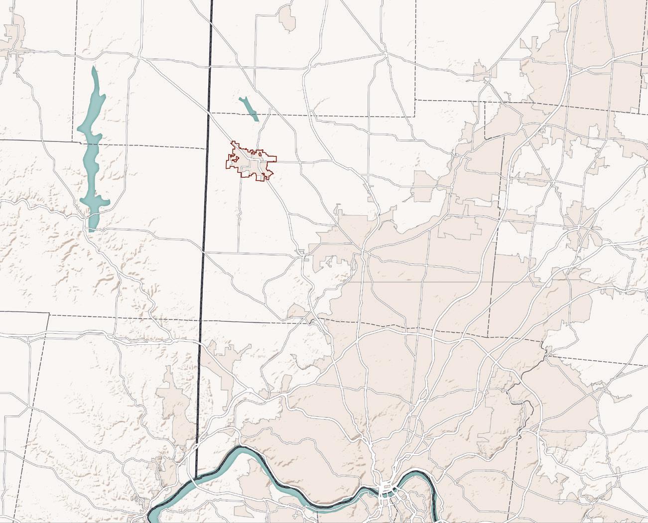
Oxford is located in the northwestern corner of Butler County, Ohio, approximately 9 miles away from the county seat of Hamilton. It also happens to be located in the furthest northwestern corner of the Cincinnati Metropolitan Statistical Area (MSA), comprising Brown, Butler, Clermont, Hamilton, and Warren Counties in Ohio; Boone, Bracken, Campbell, Gallatin, Grant, Kenton, and Pendleton Counties in Kentucky; and Dearborn, Franklin, and Union Counties in Indiana. The latest Census figures estimate the Cincinnati MSA contains a population of just over 2.2 million.
The Ohio-Kentucky-Indiana Regional Council of Governments (OKI) projects the region will continue to grow over the next three decades at a rate higher than that of Ohio, Kentucky, and Indiana as a whole, reaching a population of 2.3 million by 2050. This represents an expected growth rate of 11 percent between 2015 and 2050, of which 6 percent is estimated to occur by 2030. OKI predicts Butler County will see the second highest gain of any other regional county, increasing to 426,000.
Oxford is certainly influenced a great deal by economic and social ties stemming from the Cincinnati metro area, which contains older established urban centers as well as more suburban and exurban areas. The northern fringe of Cincinnati’s suburbs along the I-275 beltway are a half hour drive away to the south. In all other directions, the landscape is very much rural, interspersed with natural destinations such as Hueston Woods State Park and Brookville Lake in Indiana. A variety of activities and living options, coupled with relative proximity to opportunities afforded by a larger urban region, make for an ideal setting for Oxford to grow and capitalize on its assets and strengths.
The Village of Oxford was incorporated in 1830, comprising one square mile defined by Sycamore Street on the north, Chestnut Street on the south, Patterson Avenue on the east, and Locust Street on the west. Oxford’s boundaries remained unaltered until the 1950s when annexations increased the square mile to a 1 ¼ square mile area.
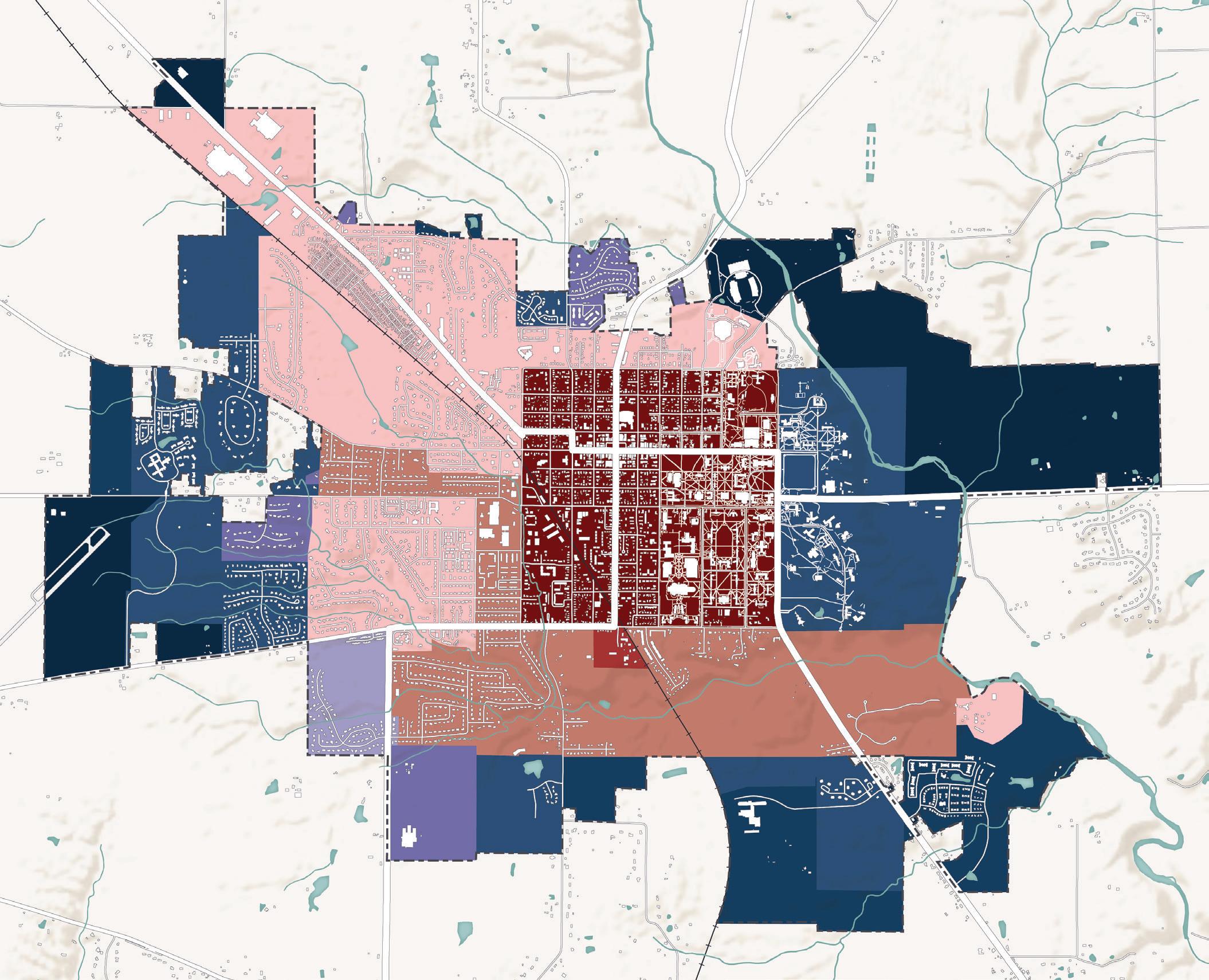
Oxford was elevated to city status in 1971 when its population surpassed 10,000 people. By the 1980s, the city had grown to over four square miles. The City of Oxford encompassed five square miles by the mid1990s, and today is a little under eight.
Oxford’s population steadily grew along with its physical growth, going from a community of under 1,000 people at its incorporation to a vibrant small town of more than 23,000 people today. Students enrolled at Miami University make up a significant portion of the population. Today, Miami University’s Oxford campus enrollment sits at more than 18,500 students.
Along with the changing City boundary, Oxford’s development patterns have evolved over the years and reflect changing trends in transportation technology— moving from a walkable, compact urban core to more curvilinear, auto-oriented streets and larger lot sizes toward the edges of the community.
Oxford is a conglomeration of more than 23,000 people from a diversity of backgrounds, which is one of the aspects that makes it such a unique and vibrant community. For comprehensive planning, it is essential to understand these community dynamics.
Being a multigenerational and multicultural community is a major strength for Oxford; the community prides itself on being a great place to live for students, families, retirees, and everyone in-between. Population trends over the past couple decades show a decline in the number of families, while also seeing an increase in the number of older adults ages 55 and up, as the Baby Boomer generation continues to age. The decline in the number of families could be attributed to limited available housing supply.
Unsurprisingly, Oxford has high levels of educational attainment, with 60% of the population holding a Bachelor’s degree or higher. Oxford is also becoming increasingly diverse, with nearly all non-white racial categories experiencing growth over the last decade. Oxford’s Hispanic population has also grown slightly since 2010. In conjunction with growing racial and ethnic diversity, data also indicates a growing presence of residents from abroad, which can further support Oxford’s values as a place that welcomes global perspectives and cultures.
Sources: U.S. Census Bureau, ESRI Business Analyst (2021)
75 years and above 55-74 years 35-54 years 25-34 years 20-24 years 10-19 years 0-9 years
Over the past several decades, Oxford has seen a decline in the number of families, while seeing a slight increase in older adults, ages 55 and up. Oxford could acknowledge this trend as an opportunity to position itself as a great place to retire. An opportunity also exists to try to attract families to the city due to its safe environment and high quality school system.
Sources: U.S. Census Bureau, ESRI Business Analyst (2021)
Hispanic/ Latino Population 3.1% (2021) 2.3% (2010)
Source: ESRI Business Analyst (2021) Source: U.S. Census Bureau (2021)
Source: ESRI Business Analyst (2021)
$200k+
$150,000 - $199,999
$100,000 - $149,999
$75,000 - $99,999
$50,000 - $74,999 $35,000 - $49,999 $25,000 - $34,999 $15,000 - $24,999 <$15,000
Oxford’s median household incomes are lower than many communities due to the large presence of undergraduate students who may not have a steady source of income.
Median Household Income (2021)
Household Income (2010)
Source: ESRI Business Analyst (2021) Source: U.S. Census Bureau (2021)
Oxford has a rich and layered history. Initially established primarily to support a higher education institution, the city has evolved over the years to become a quintessential college town. Despite the forces of growth and change, much of the past stands well preserved. The following timeline is a non-exhaustive snapshot of historic events in Oxford.
1824 Miami University opens. 1809 Miami University established.
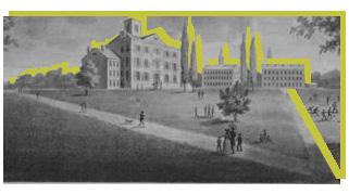
1885 Miami University reopens.
1873 Miami University temporarily closes.
1869 First local bank (Citizens Bank) organized.
pre-1788
The territory that would become Oxford is home to indigenous cultures, including the Miami and Shawnee tribes.

1788 Judge John Cleves Symmes of New Jersey buys a portion of the Northwest Territory (Symmes Purchase) from the Federal Government and surveys it into townships.
1830 Village of Oxford is incorporated with a population over 700.
1833 Fire service started in Oxford. 18 | Oxford Tomorrow Comprehensive Plan
1867 Oxford Female Institute merges with Oxford Female College.
1854 Oxford Female College chartered.
1849 Oxford Female Institute (later Oxford College) is founded.
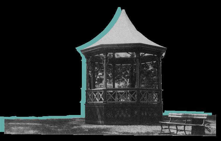
1874 Bandstand constructed in the Public Square.
1919 Miami replaces “No-Horse Rule” with “No-Car Rule.”
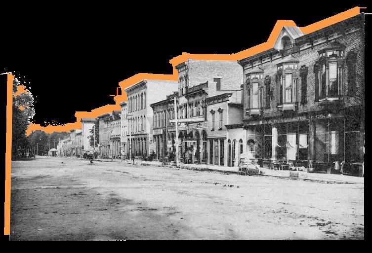
1928 Oxford Female College merges with Miami University.
1974 Miami University acquires Western College campus.
1971 Oxford becomes a City.
2008
Voters pass a charter amendment exempting the Uptown area from the 1976 dwelling unit restriction.
Oxford Tomorrow Comprehensive Plan Update is adopted by City Council. 1990
Number of Miami students living off-campus surpasses number living on-campus.
2003
Consultant-led rewrite of Zoning Code adopted by City Council.
1998
1931
Original zoning ordinance adopted by Village Council.
1954
Amended zoning ordinance, in conjunction with a citywide master plan is adopted by City Council.
1980s

1976
2018
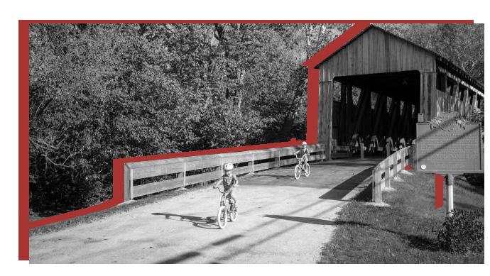
Voters pass a 10-year property tax levy to fund construction of a trail system around Oxford.
City Council adopts the Oxford Tomorrow Comprehensive Plan.
Citizen group works to establish Oxford’s first historic commission.
Voters pass a charter amendment restricting residential structures to no more than 3 dwelling units. Restriction applies to the entire Mile Square plus additional territory north of Sycamore Street.
1964
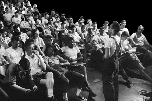
Freedom Summer volunteers meet in Oxford for training before going to Mississippi to educate and register Black voters.
Oxford Tomorrow represents the shared voices and ideas of the community. The planning process emphasized broad and meaningful input through a variety of formats—both in-person and digital. This chapter summarizes the outreach and engagement opportunities that were conducted as well as the results of those efforts.
The planning team used the following methods and tools to gather input and feedback throughout the Oxford Tomorrow planning process:
• 9 Steering Committee Meetings
• 4 Stakeholder Focus Groups
• 3 Public Input Meetings
• Interactive Online Activities
• 3 Online Surveys
• Distributed paper surveys and postcards
Based on the public input from these various public engagement methods, the planning team developed the following major themes. These themes and all the community input directly informed the development of the plan recommendations.
Focus on becoming a complete, multi-generational, and multi-cultural community.
Encourage more restaurant, shopping, and entertainment options.
Prioritize non-vehicular transportation access and connectivity.
Maintain a high quality of life through continued investment in parks, recreation, and cultural amenities.
Embrace ways to bring the community together.
Spur housing options that are affordable for people at all incomes and life stages.
Strengthen the local economy through economic development and diversification.
Foster a strong relationship between Miami University and the greater community.

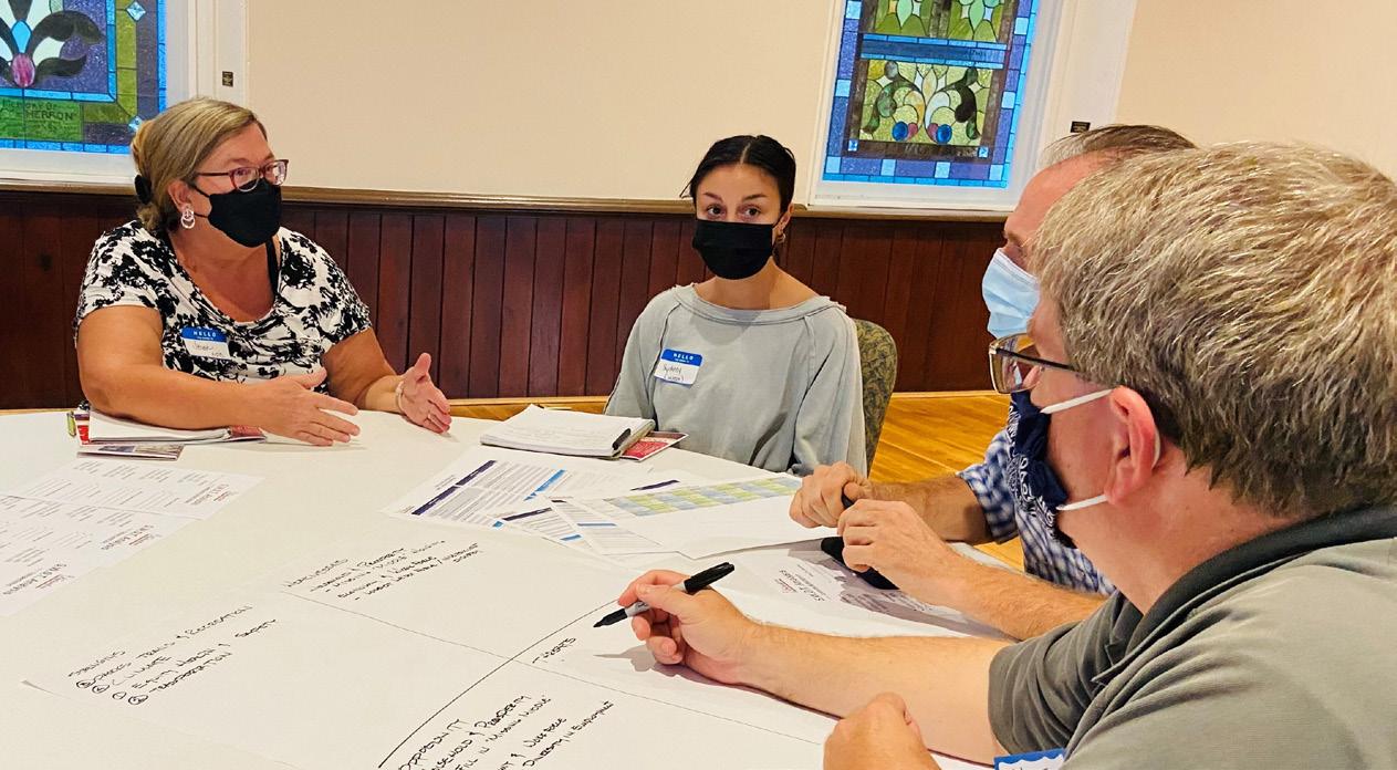
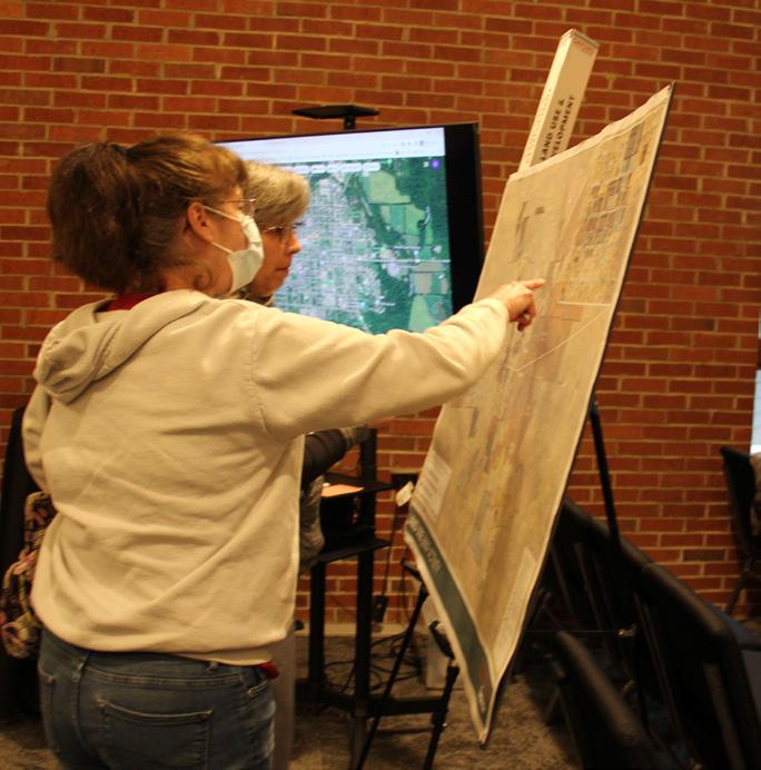
A Steering Committee of 30 engaged stakeholders was formed to help guide the planning process. The Steering Committee includes representatives from City staff, City Council, various City boards & commissions, neighborhoods, businesses, community groups, and institutions.
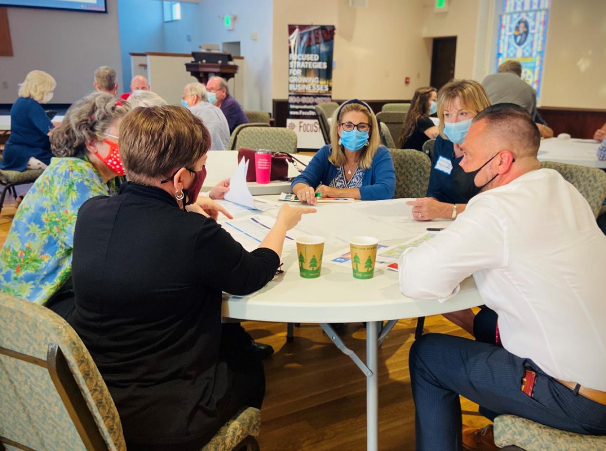
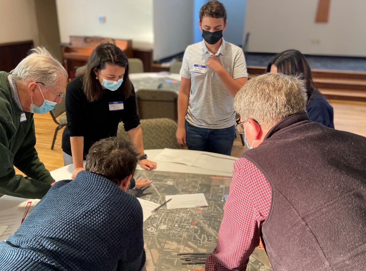
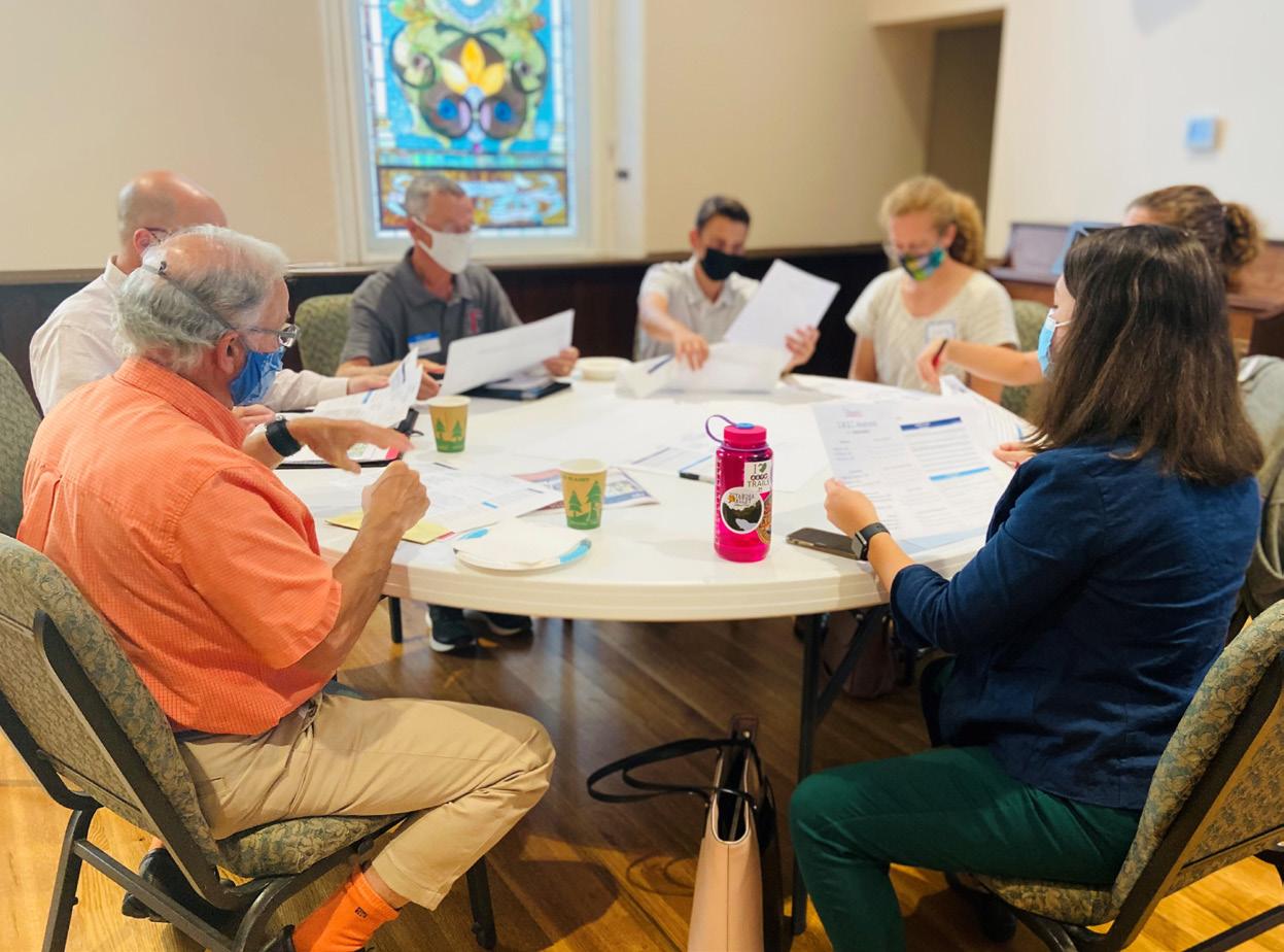
The Steering Committee was tasked with ensuring that the plan content reflects the values of stakeholders and the Oxford community. They acted as a sounding board to review the plan findings, concepts, and recommendations.
The following Steering Committee meetings and topics took place throughout the planning process:
• Meeting #1 | May 26, 2021 | Plan Kick-off
• Meeting #2 | July 28, 2021 | SWOT Part 1
• Meeting #3 | September 15, 2021 | SWOT Part 2
• Meeting #4 | September 29, 2021 | SWOT Part 3
• Meeting #5 | October 27, 2021 | SWOT Results & Key Takeaways
• Meeting #6 | November 18, 2021 | Big Ideas
• Meeting #7 | April 7, 2022 | Visioning & Opportunities
• Meeting #8 | August 11, 2022 | Plan Recommendations
• Meeting #9 | November 1, 2022 | Plan Synthesis
Steering Committee Meeting #4 Steering Committee Meeting #5After the planning process first kicked-off, the Steering Committee participated in a SWOT (Strengths, Weaknesses, Opportunities, Threats) analysis, which is a framework to assess internal and external challenges and current and future potential. Steering Committee members were guided through a facilitated exercise and asked to evaluate the SWOT for nine topic areas. The results of this activity can be found on the following page. Only the top results from each category are depicted. SWOT terminology is defined as follows:
• Strengths – areas of excellence or competitive advantage
• Weaknesses – areas with room for improvement
• Opportunities – favorable external factors that could become a competitive advantage if they are further developed
• Threats – external factors that could pose harm to the community
• Educational Attainment
• Diverse Population
• Local Employment
• Parks, Natural Spaces, & Trails
• Grid Layout
• Housing Variety
• City Goals, Policies, & Actions
• Healthcare Sector
• Housing Diversity
• Economic Development
• Technology & Telecommuting
• Land Banking
• Land Use Diversification
• EV Charging Stations
• Transportation Development
• Housing Improvements
• Gardens
• Parks and Recreation Marketing
• Park Access
• Accessible Community Services
• Household Characteristics
• Volatile Workforce
• Limited Housing
• University Dominance
• Land Use
• Walkability
• Regional Roadways
• Property Management
• Accessibility
• Climate Planning & Cooperation
• Community Services & Resources
• Single Employer Economy
• Regional Economic Factors
• Local Retail Market
• Loss of Historic Structures
• Fiscal Impacts of Land Use
• Climate Change
• Health Systems
• Program Funding Availability
• Costs of Public Improvements
Community partners are key to the success of this plan, so major stakeholders were engaged in the process. Beginning in mid-March 2022, the planning team conducted a series of stakeholder focus groups with key community groups and organizations.
• Talawanda School District | March 9, 2022
• Major Employers & Businesses | March 10, 2022
• Miami University Leadership | April 7, 2022
• Needs Awareness Committee | May 18, 2022
• Oxford has a small-town feel, but also has a lot of amenities
• McCullough-Hyde Memorial Hospital is a major asset as it is a regional hospital, serving 13 zip codes
• Some businesses and institutions have had difficulties filling open positions and attracting talent to Oxford
• Oxford is isolated, which makes it a unique place to raise a family, but its geographic isolation can also be a barrier
• Oxford’s population is diverse in many ways
• A lot of programming at Miami University is physically accessible for kids and families, but not always economically accessible
• Some community and school facilities need upgrades to meet needs
• There is a need for more sports facilities throughout the community
• Childcare and pre-school are currently lacking in Oxford—many places are at-capacity
• Housing affordability and availability is a significant issue
• Access to mental health services is top of mind for many community members
• There are some barriers to entrepreneurship and creativity that could be lessened by the City
• Remote working could be an opportunity for economic development and talent attraction
• There is a desire for Oxford to become a more complete community, where people can meet all of their daily needs
The City developed a project website for the comprehensive plan at oxfordtomorrow.org. This website provided on-going project updates, hosted presentation materials and other documentation, and served as an avenue to gather community input.
Interactive online activities were made available throughout the course of the planning process to reach as wide of an audience as possible, including those who may prefer to engage in a digital format. To accomplish this, several online tools were utilized, which are described below.
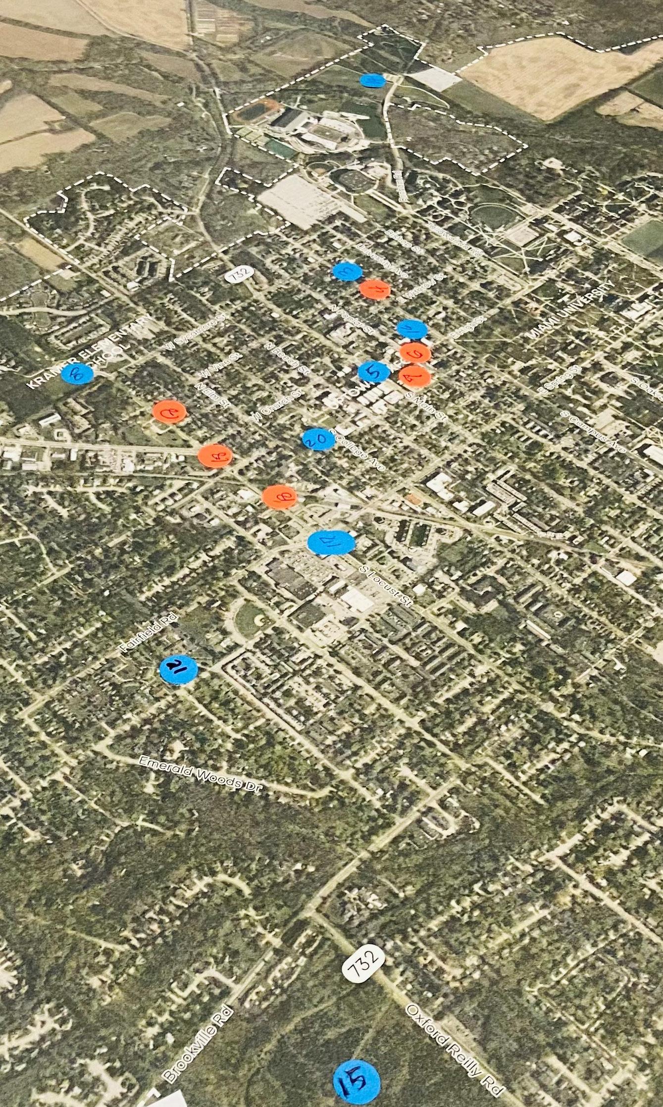
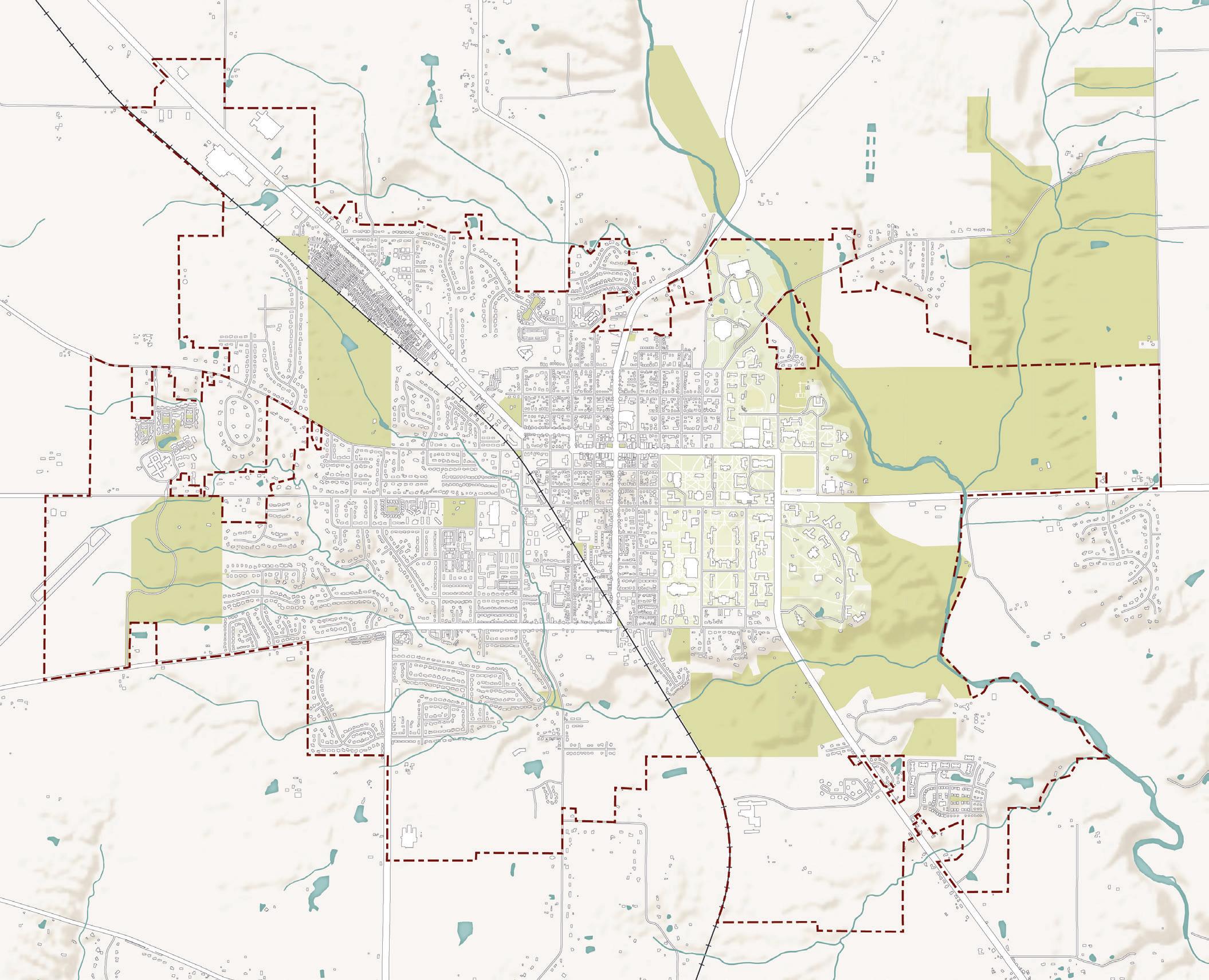
An interactive map was used to gather place-based comments and ideas from the community. The initial interactive map activities were used to identify existing assets, areas that should be protected, areas that need improvement, general location-based ideas, and potential connections. This information was used by the planning team to focus efforts on key opportunity sites or areas for improvement. The results from the interactive map activities can be found on the following page.
An ideas wall was also created to capture and organize the community’s vision, priorities, big ideas, and other thoughts in a visually interesting format that encourages interaction between community members through up-voting and discussion. A selection of some of the comments posted on the ideas wall can be found below.
“ “
“
My vision for the future includes diversity, equality, and accessibility for all residents.
Continue with efforts to complete the walking/bike path around Oxford. In other communities, having access to the path out your back door is an advantage, and adds to the property’s value.
“ “
Oxford needs a modern community recreational facility for children, seniors, and families to use during the winter months.
Economic development needs to be made a priority for the survival of Oxford as a city.
“ “
Key Stats Community Engagement | 25
“ “ 49 Unique Participants in the Online Activities 56 Interactive Map Pins
Community comments from Ideas WallMore green space & recreation
Auto-oriented/ opportunity for redevelopment
Bike lane connection to trail
Unsafe intersection
Expand TRI Center/senior housing
Add lighting at fields
Oxford Community Park
Oxford Seniors
MU Institute of Food Oxford Area Trails
Leonard Howell Park
Legend
Would like to see businesses here
Tree replacement needed generally
Need for sidewalk
Place I Enjoy Place that Should be Protected or Preserved
Place that Needs Improvement
Idea for the Future
City Boundary
Parks & Green Space Streams & Ponds Buildings
Roadways
26 | Oxford Tomorrow Comprehensive Plan
Increase housing capacity
eCree k
S Main St E High St
Uptown businesses
Protect historic buildings
Collins Creek Peffer Park
Reinhart Preserve Bachelor Preserve
Create a new vision for Chestnut St
H ar kers Run
Create a vision for 27 South
Potential for low-impact development along greenway
The map above depicts the results from the online interactive mapping activity. Users placed pins on a map according to several prompts:
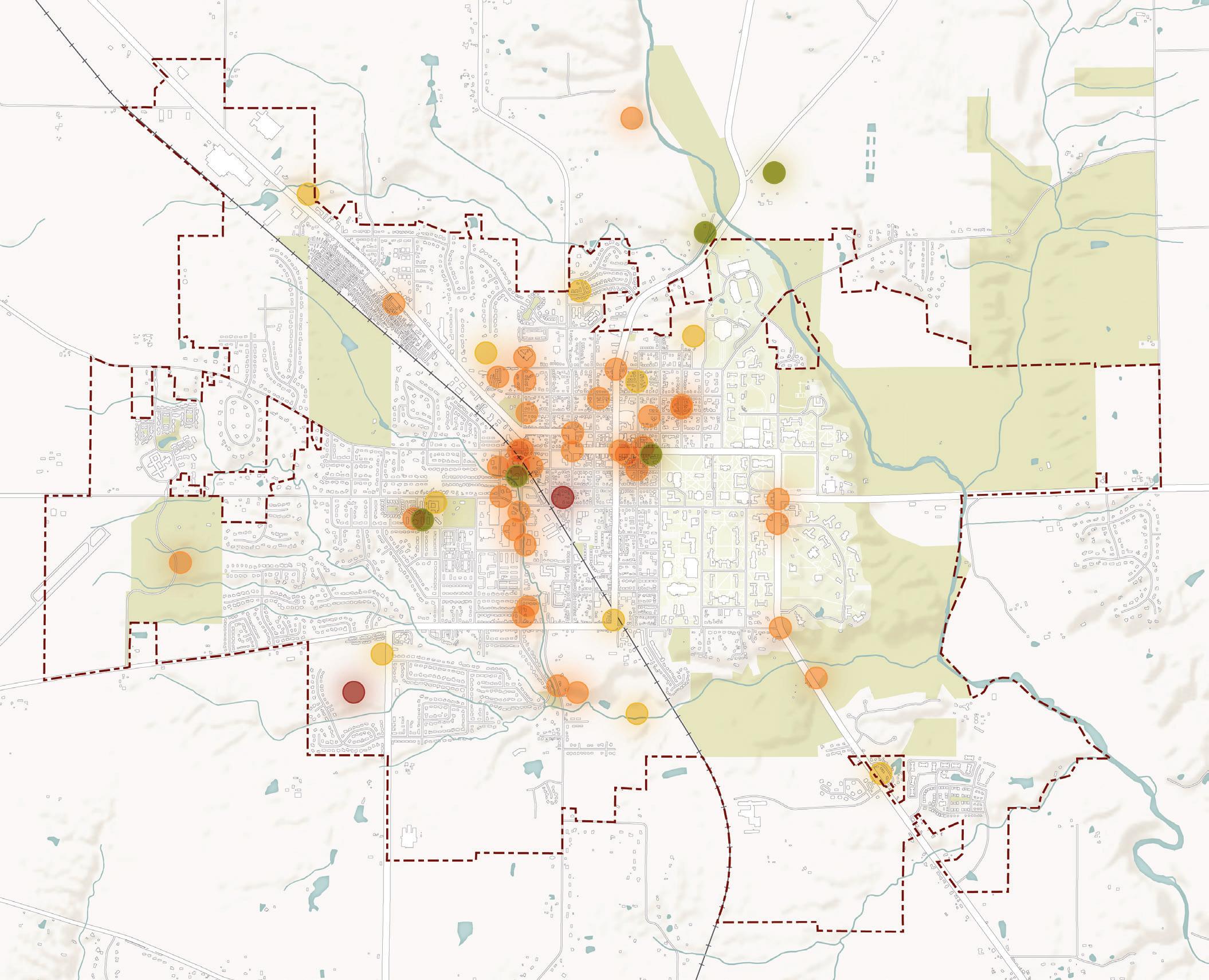
• Place I Enjoy
• Place that Should be Protected or Preserved
• Place that Needs Improvement
• Idea for the Future
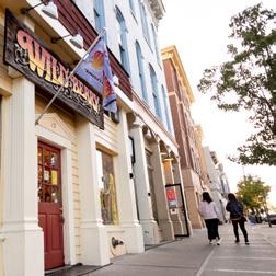

Three Public Input Meetings were held to engage with the broader Oxford community. These meetings were held to inform the public about the planning process, gain insight and input to guide the plan, and to build support for the plan outcomes. Summaries of the Public Input Meetings and takeaways from the meetings can be found on the following pages.
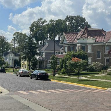
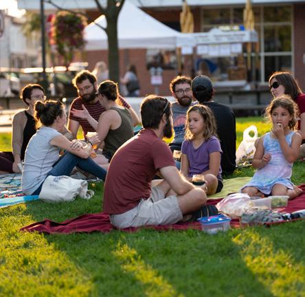
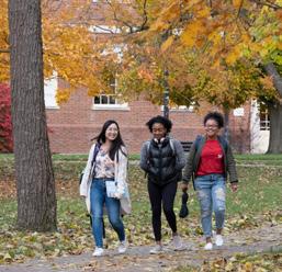
In mid-February, 135 community members joined a Zoom webinar to learn about the Oxford Tomorrow planning process. At this meeting, the planning team utilized an interactive polling tool to ask questions live during the webinar. These questions prompted attendees to share about Oxford’s strengths, areas of improvement, and general ideas for Oxford’s future. The planning team uploaded a recording and the meeting materials to the project website for people to absorb the information on their own time, too. Additionally, an online survey was made available that consisted of the same questions asked during the webinar. The combined input from the webinar and the first online survey can be found on the following pages.
What are your favorite things about Oxford? (n = 363)
#1 - More restaurant options & food choices #2 - Housing affordability #3 - More housing options #4 - More retail businesses #5 - Improved economic development #6 - More family friendly environment
“ “
I wish Oxford could be more feasible and welcoming to small businesses.
“ “
More amenities and programming that promote diverse cultures.
“ “
Please rank the following topics for this plan to address. (n=343)
I would love to see more activities for families with young kids, especially through the winter, like an indoor play space
“ “
I hope the trail project can move forward and be completed! This will be an incredible improvement for our community.
“ “
What is missing in Oxford that would make it a more welcoming, livable place for all? (n = 352) NOT
“ “
More activities for dates and families. More high quality affordable childcare.
Quotes from community members
What is your age? (n=231)
How would you describe your gender? (n=230)
Do you identify as Hispanic or Latina/o? (n=226) How would you describe your race? (n=241)
The graphs on this page summarize the demographics of people who attended the first public input meeting and who filled out the first online survey. This information was used to ensure that the public engagement was reaching a wide cross section of the community. The demographics of participants are closely aligned with the demographics of the broader community. The majority of people who participated in the Oxford Tomorrow process, however, represented full-time permanent residents, with less representation from students.
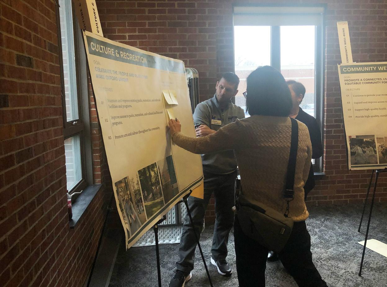
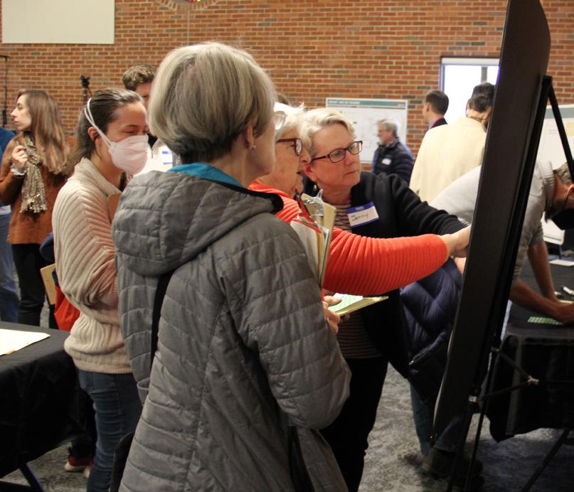
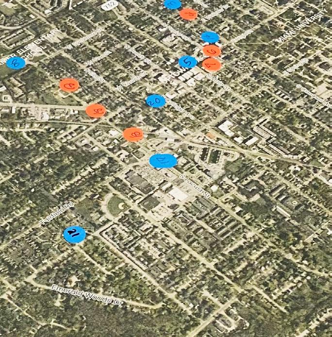
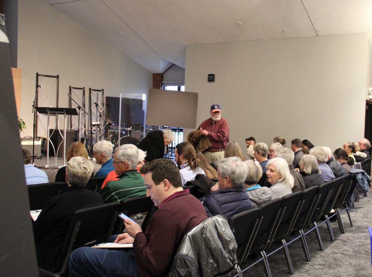
The second public meeting was held in mid-April at the Oxford Bible Fellowship. More than 100 neighbors and community members joined the planning team for what was referred to as the Oxford Tomorrow Visioning Workshop. This meeting consisted of a brief presentation followed by an open house-style workshop where attendees were invited to visit stations corresponding to the plan topics. At these stations, they had the opportunity to react to the draft plan goals and objectives and provide ideas for recommendations to be included in the plan. An online survey and short video introduction were posted on the project website to reach folks who could not attend the in-person session. The combined input from the workshop and second online survey helped influence the drafting of plan objectives. In addition, the results of a dot-mapping exercise–as depicted on the following page–helped influence the development of a new future land use map.
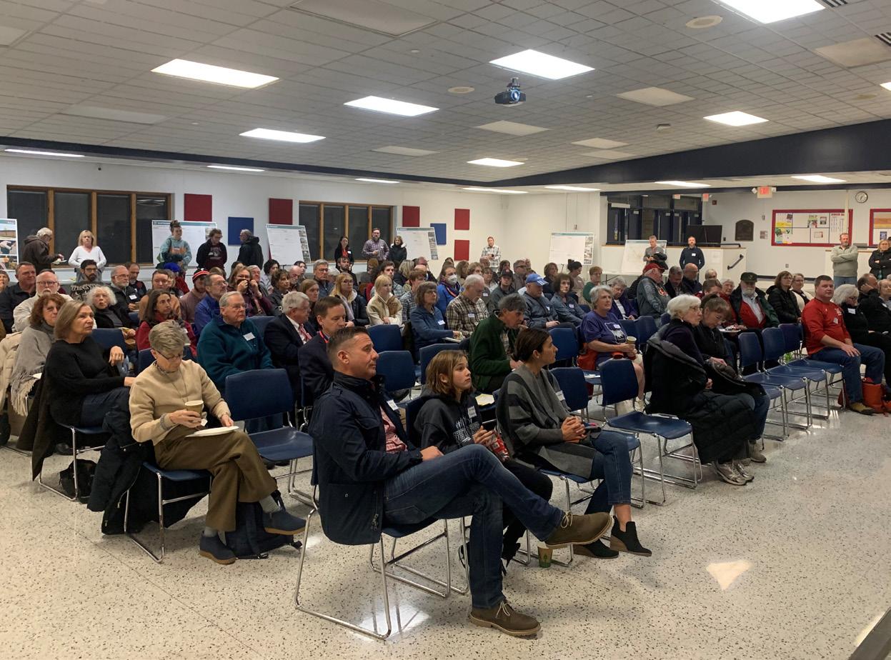
In mid-November, 110 community members attended the third and final public meeting held at Talawanda Middle School. This meeting was referred to as the Plan Open House and consisted of an introductory presentation by the planning team followed by an open-house style workshop where attendees could review the draft plan actions at stations corresponding to the eight plan topics. After reviewing the actions, they were asked to identify their top five priorities. Attendees could also review other important plan content, including the draft future land use map and provide open-ended comments about any of the materials. For online participants, a short video introduction and online survey were posted to the project website. 42 people filled out the online survey. The results from the combined in-person and online feedback were used to identify the community priorities in the summary matrix starting on page 138.
 Public Input Meeting #2
Public Input Meeting #2
Public Input Meeting #2
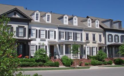
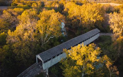
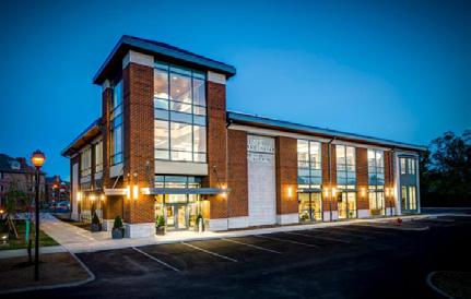
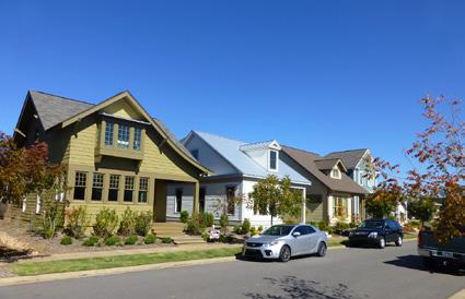
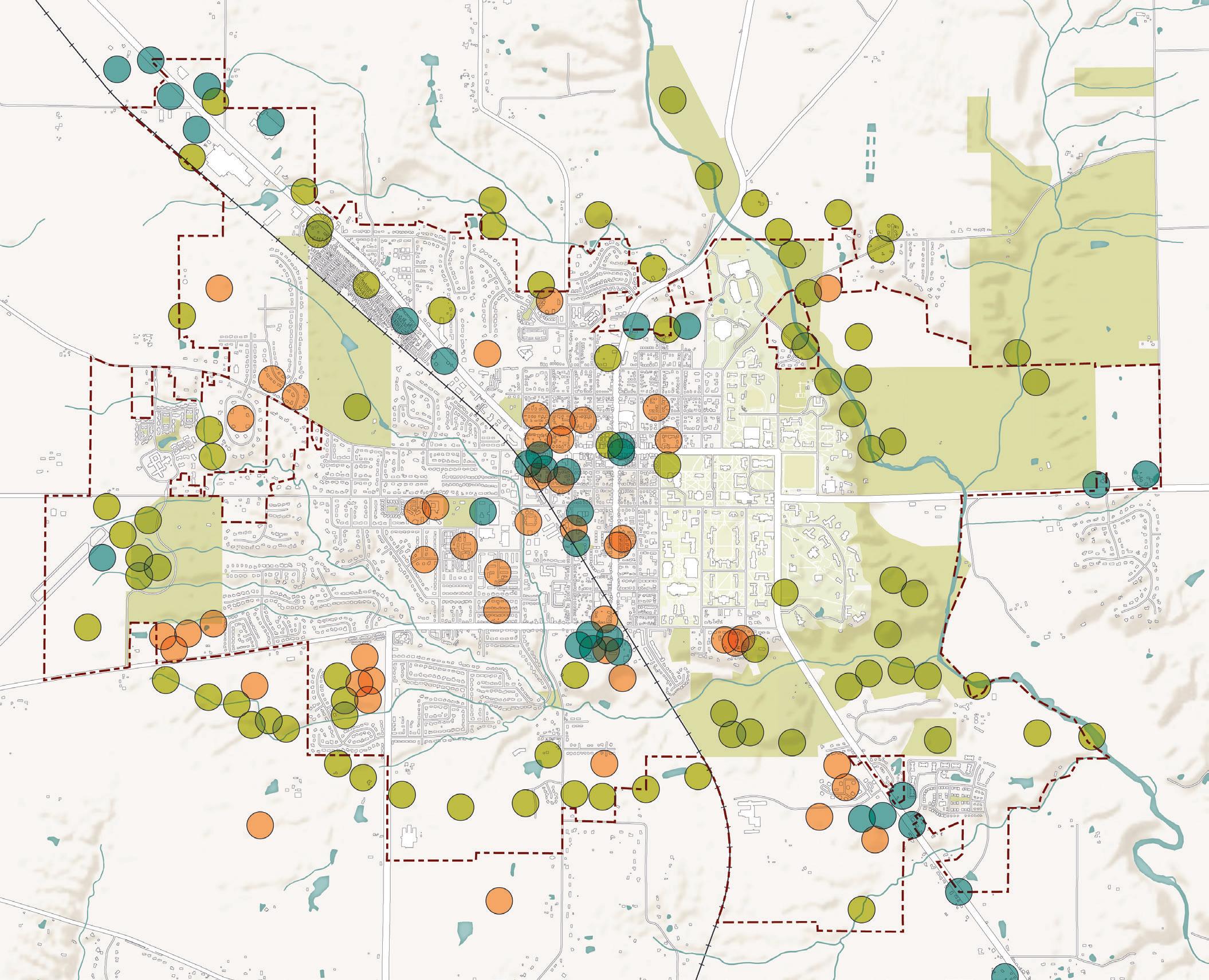
The map above depicts the combined results from the land use mapping activity at the in-person Oxford Tomorrow Visioning Workshop and Steering Committee Meeting #7. Participants were asked to identify areas of the community where the following development character types should be located:

Through the Oxford Tomorrow planning process, the community has come together to collaboratively plan for Oxford’s future. The resulting plan is one that is representative of the community’s values, ideas, and priorities. Many of the sentiments described in this chapter were derived directly from community input.
This chapter presents the recommendations for Oxford Tomorrow: a collection of projects, policies, and programs that, collectively, will guide the community toward its goals for the future. This chapter is divided into eight sections, representing the major topic areas covered in this plan. Each section adheres to a consistent format, starting with the topic goal and existing conditions and trends, followed by a summary of the recommendations.
The Oxford Tomorrow planning process engaged community members in a thoughtful conversation about the city’s future. Working from broad aspirations to specific outcomes, this process was one of discovery and iteration. The resulting plan framework and recommendations presented in this chapter were developed directly by and for the community. This plan follows the following framework:
Vision: An aspiration statement that broadly defines a community’s values and ideal future.
Goal: A broad, desired outcome for the community expressed in simple terms for each of the plan’s topic areas.
Objective: A particular step that can be taken to help realize a goal. Objectives help to define what a particular goal means, providing a more refined sense of direction.
Action: A strategy to achieve a corresponding objective. Actions can be concrete and specific, usually taking the form of a project or program. They can also be more broad and ongoing, helping to further refine a corresponding objective with a defined policy directive. Throughout this chapter, these recommendations are explained through written descriptions as well as example imagery, case studies, and call-out boxes with more details, as appropriate.
It should be noted that this is a bold plan that sets forth a vision for the entire Oxford community for the next ten years and beyond. As such, it will take many organizations working together to realize this vision. The City of Oxford staff and elected and appointed officials will play a major role, but they can only control certain aspects of Oxford’s future. Many other community groups, major institutions, nonprofit organizations, government jurisdictions, private corporations, and individuals will need to collaborate with the City of Oxford to implement the plan recommendations. This mechanism is more directly defined in the Implementation chapter, where the City’s role of controlling versus influencing recommendations is explored.
Oxford, Ohio will be a vibrant community that is welcoming to all. Oxford will value and exemplify equity and inclusion, environmental sustainability, fiscal responsibility, local housing and job opportunities, community well-being, lifelong learning, and a symbiotic relationship with Miami University. Oxford will be a yearround destination with a high quality of life for all.
Land use decisions are fundamentally important to the form, function, and prosperity of a community. For this reason, land use is an essential topic for a comprehensive plan.
Many factors contribute to the development of land use recommendations. First and foremost, the community’s vision for its built environment and physical character must take precedence. Other factors include demographic trends, market conditions, infrastructure needs, public school considerations, transportation impacts, fiscal impacts, regional plans, utility decisions, and environmental conservation and protection.
This plan and this section, in particular, endeavors to provide thoughtful direction on these issues. The policy, action, and land use character recommendations in this section will help the built environment match the community’s vision and needs for the future.
When surveyed at the beginning of the planning process, community members overwhelmingly shared that their top three favorite things about Oxford were the small-town feel and college town atmosphere; walkability and easy access to amenities; and the natural areas, parks, and recreation facilities.
At the second Public Input Meeting, community members shared ideas for land use and development in Oxford’s future. The following are top themes from the responses:
• People want to see Oxford become a more complete community with daily amenities and services so they don’t have to leave to meet their needs
• More residential areas are needed to enable more families, empty-nesters, and University staff and faculty to reside in Oxford
• People want to preserve Oxford’s green space, waterways, woodlands, and natural assets
• People recognize the need to work closely with Miami University in land use decisions
• People want to see improvements to the Mile Square environment with more mixed-use development, improved property maintenance, and increased housing density
All of these sentiments and the others shared throughout the process directly informed the land use and development recommendations presented in this section.
Oxford has a unique quality of place that is not found in every community and much of that can be attributed to its position as a college town. It is also a steadily growing city, though it did experience a slight dip in population between 2000 and 2010. It is estimated that Oxford will be a community of 25,000 people by 2030.
Today, the majority of the community is comprised of university, single-family residential, and agricultural or undeveloped land. The maps and information on the following pages paint a picture of how Oxford has developed over time and how land in the city is being used today.
Source: City of Oxford (2021)
Community comments
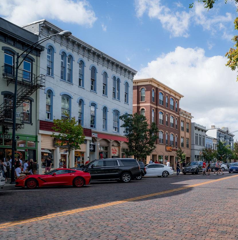
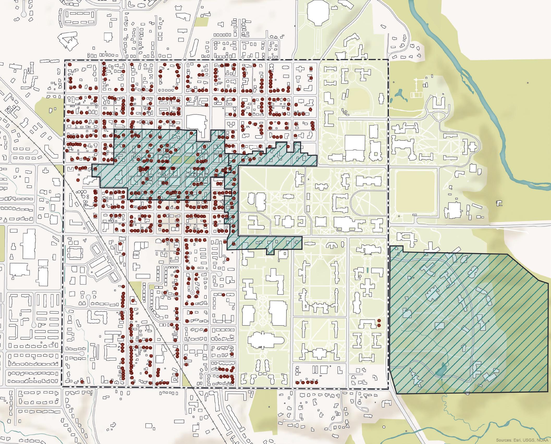
History is a major component of a community’s character and Oxford has many fantastic historic buildings and sets a great example for historic preservation in a modern context. Many of Oxford’s historic structures are older single-family homes concentrated in the Mile Square. Some of these buildings are maintained at a higher standard than others, and many of them have been converted into student rentals. Oxford also has three local historic districts in place: (1) Uptown Historic District; (2) University Historic District (along East High Street, South Campus Avenue, and East Spring Street); and (3) Western Historic District. These districts are overseen by City staff and the Historic & Architectural Preservation Commission (HAPC) to protect and enhance structures in these districts.
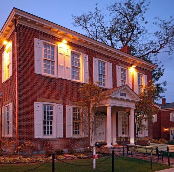
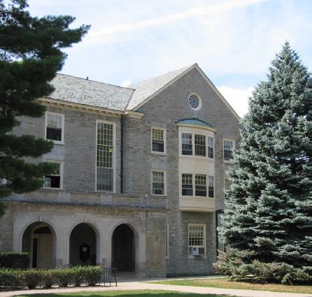
Neighborhoods are often the spaces that come to define a city as that is the geographic scale where daily life takes place. According to the existing land use data shown in the map above, Oxford has neighborhoods that are comprised of single-family, two-family, three-family, multifamily, and fraternity homes. Outside of the Mile Square, the majority of residential neighborhoods are dominated by single-family land use. Most of these neighborhoods are located in the northern and western portions of the city.
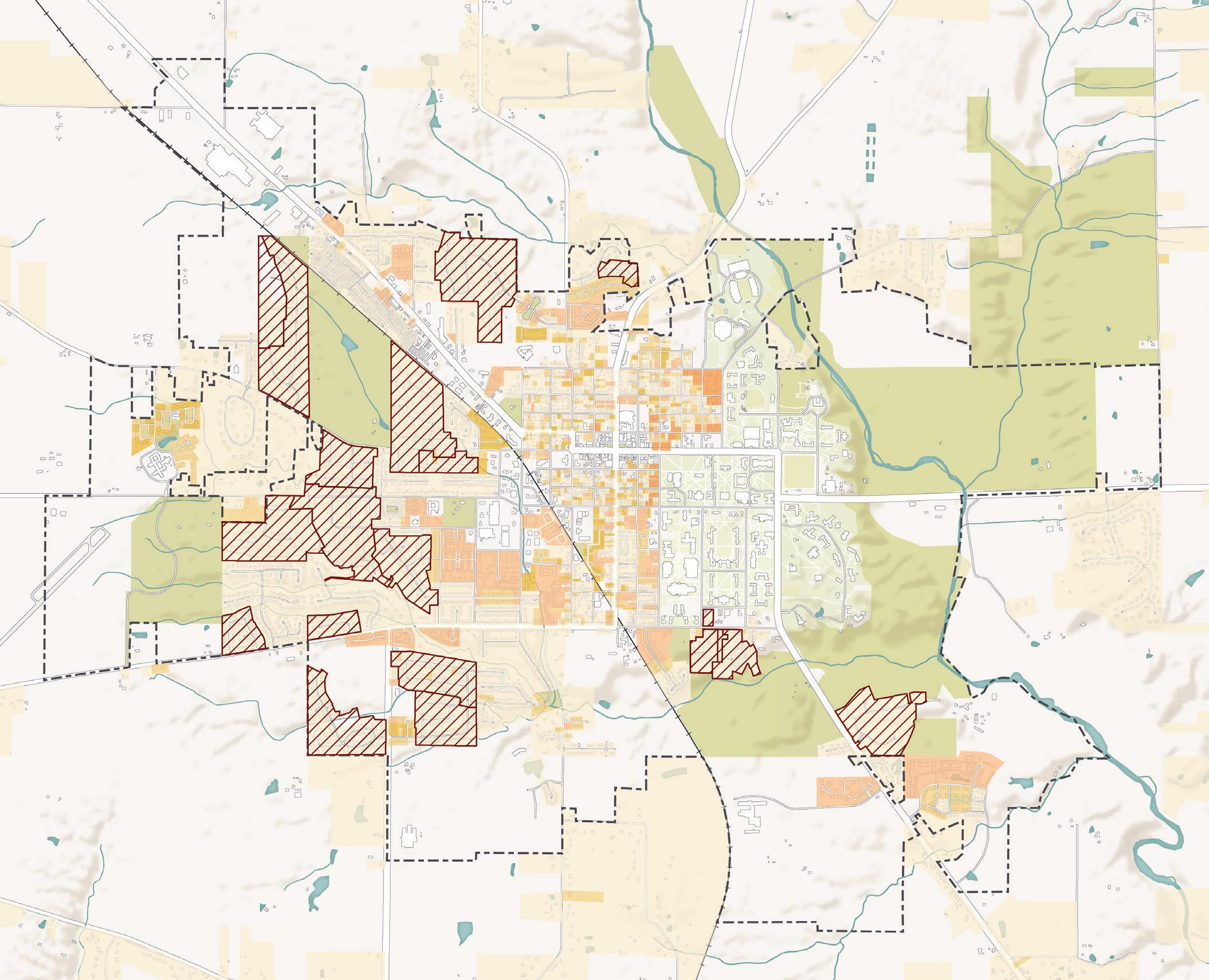
Additionally, Oxford’s Zoning Code allows for Neighborhood Conservation Overlay Districts, which neighborhood residents have the power to originate. The Overlay Districts are a legal mechanism to restrict homeowners in those districts from renting to more than two unrelated people. For a residential area to be incorporated into this district, it must have at least ten adjacent lots and two-thirds of residents must sign a petition and City Council must approve. This tool is used to preserve parts of the community from becoming dominated by student rentals.
Neighborhood Conservation Overlay District
Residential Single-Family
Residential Two-Family Residential Three-Family Residential Multi-Family Residential Fraternity House
City Boundary Parks & Green Space Streams & Ponds Buildings Roadways
Source: City of Oxford (2021)
Agricultural & Rural Land Parks & Green Space
Residential Single-Family Residential Two-Family Residential Three-Family Residential Multi-Family Residential Fraternity House University
Community Facilities Government Facilities Health and Medical Industrial
Commercial and Mixed Use Utilities
Areas of Substantial Change Since 2000
City Boundary
Source: City of Oxford (2021)
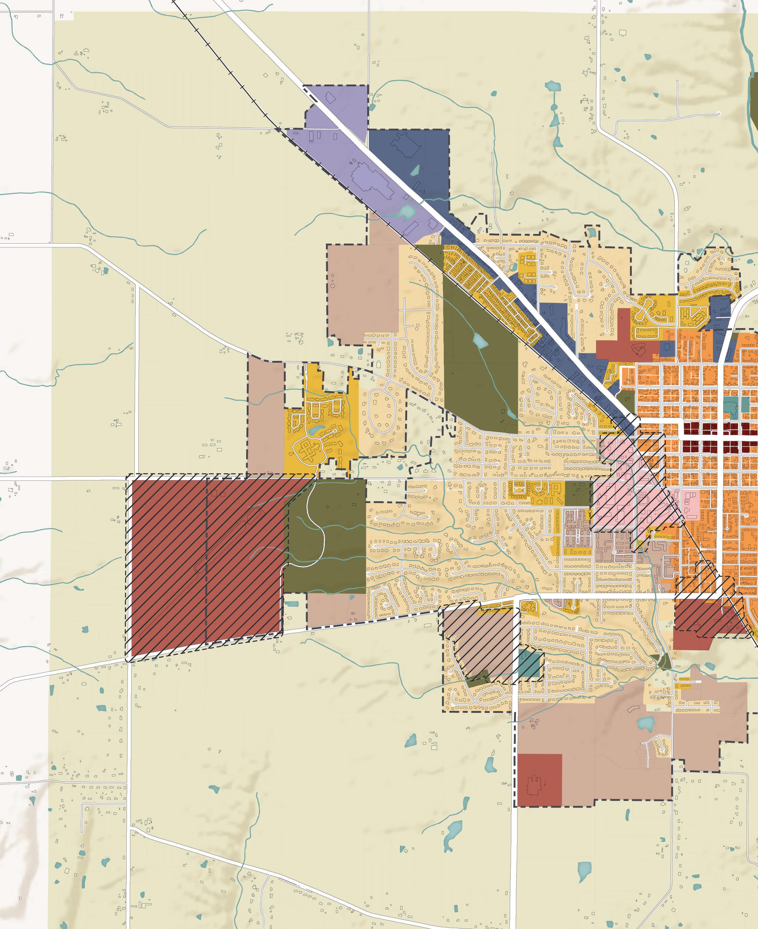
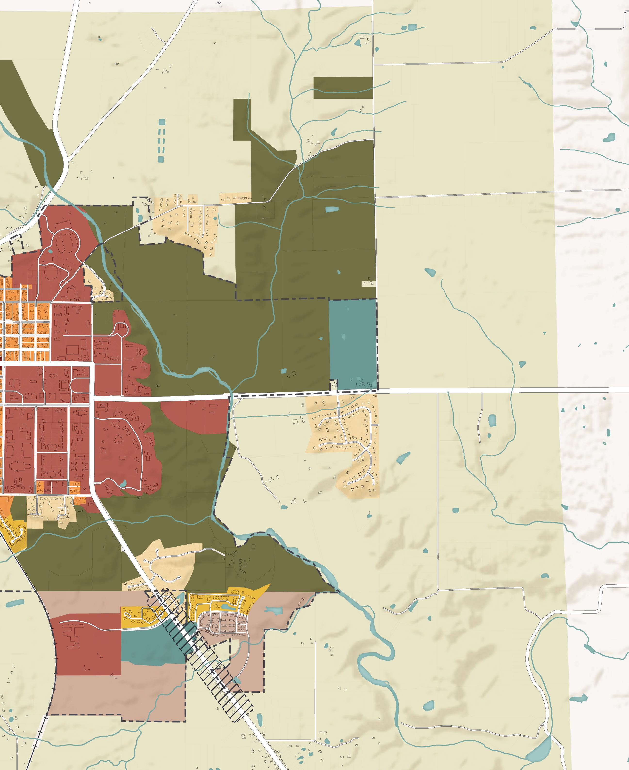
The map above depicts Oxford’s existing land uses by parcel. Oxford is surrounded by mostly agricultural and rural uses, with large pockets of single-family residential. University uses dominate the eastern portion of the city, while single-family residential dominates the western portion of the city. Most of Oxford’s housing diversity exists within or immediately adjacent to the Mile Square. Many of the community, government facilities, and parks and green spaces are located on the edges of town. Apart from Uptown, most of the commercial and mixed use areas exist along the South Locust Street and College Corner Pike corridors. Flex industrial and health and medical uses, too, exist along the edges of town on College Corner Pike and SR 732, respectively. The map also depicts major areas of change since 2000, which include many parts of Miami University’s campus, including Western Campus, Yager Stadium, and many of the residential quads. Other areas of change include Level 27 and the Annex, Talawanda High School, Stewart Square, Bishop Square, Miami Preserve, the Northridge subdivision, Walmart Supercenter, and The Knolls.
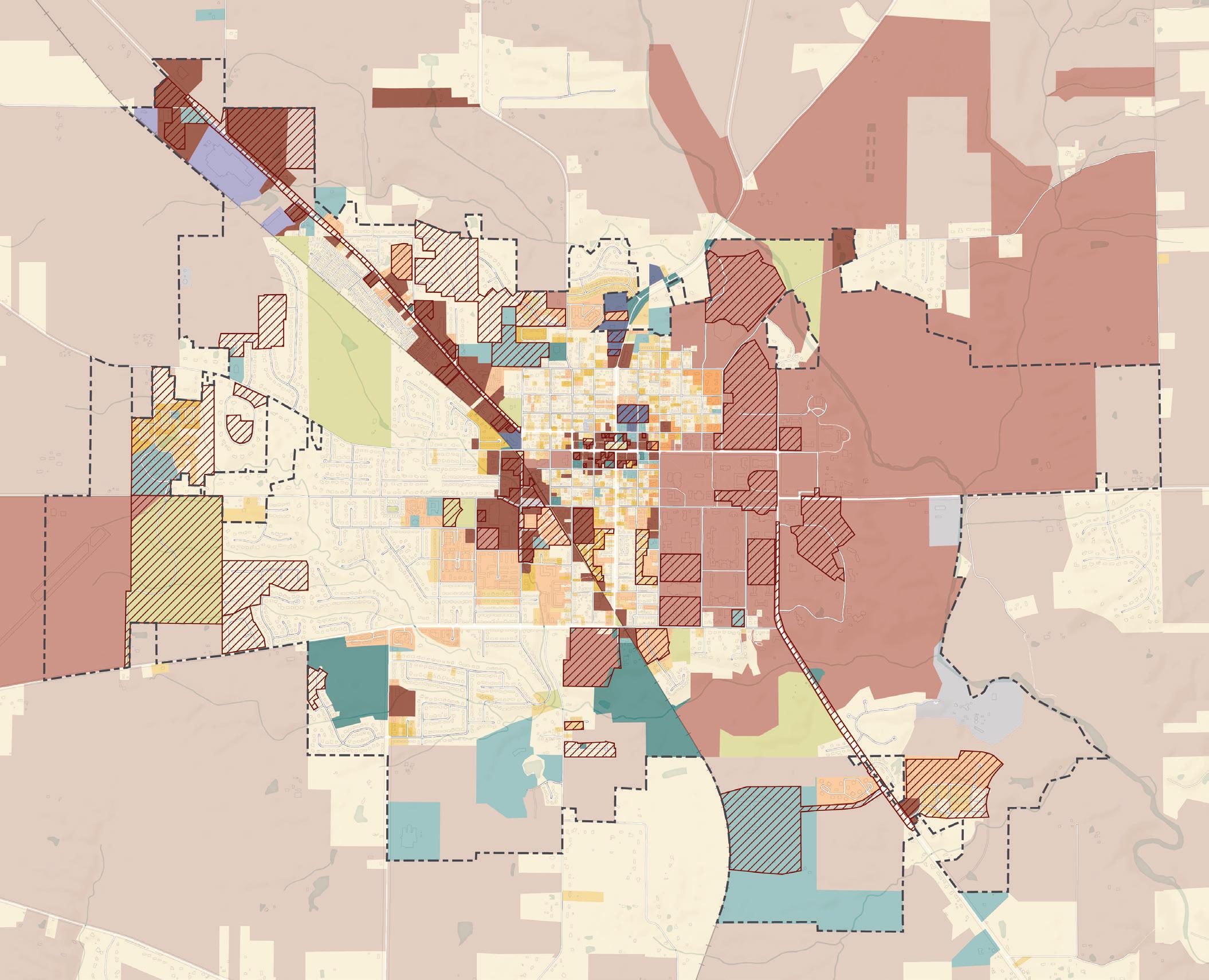

The future land use map found on p. 50 is one of the primary outcomes of this comprehensive plan. It highlights the desired future land use patterns for the city and its surroundings. Much of the city is already developed, so the future land use map will match the existing land use in many places. This map is most important for providing direction for areas of the city where land uses are expected or desired to change over the next ten years and beyond.
It is worth noting that the future land use map is not the City’s zoning map, which is a legally-binding document with accompanying regulatory text. The future land use map, rather, provides City Council, boards, commissions, and staff with strong guidance when considering development proposals, annexation requests, rezonings, and infrastructure investments. Adoption of this plan and, therefore, the future land use map does not change existing zoning. Over time, however, the zoning code and map may be modified through development approvals and municipal actions as a means to implement the policy recommendations of this comprehensive plan. However, until any such amendments are adopted by way of changing the official zoning map or accompanying zoning code text, the future land use map does not directly affect how properties may be used according to legal entitlements.
The future land use map accounts for the existing land uses, while establishing a desired pattern of land uses and development types for the future of Oxford. The future land use map includes twelve Character Types ranging from preserves and green spaces to the urban core, to illustrate the mix of uses necessary to support Oxford’s diverse population and community needs. Each of these land use categories is summarized in more detail on the following pages, with details about primary and secondary uses, access, physical connections, parking, and open space. These Character Type categories include:
• Preserves & Green Space
• Rural
• Suburban Neighborhood
• Transitional Suburban Neighborhood
• Urban Neighborhood
• Urban Mile Square Neighborhood
• Urban Core
• Mixed Use Center
• Employment Corridor
• Employment Center
• Campus
• Flex Industrial
The map also calls attention to several Focus Areas throughout the community. These are areas that warrant further examination and planning because they have a stronger chance of experiencing physical change over the next ten years and beyond. The land use categories proposed in these focus areas should therefore be interpreted more flexibly, as a desirable land use mix could be subject to change based on findings uncovered through additional district-level planning efforts.
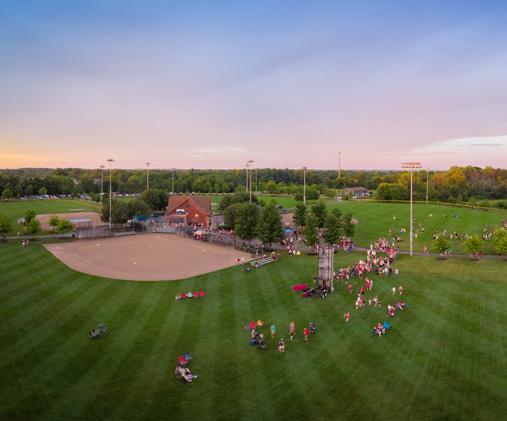
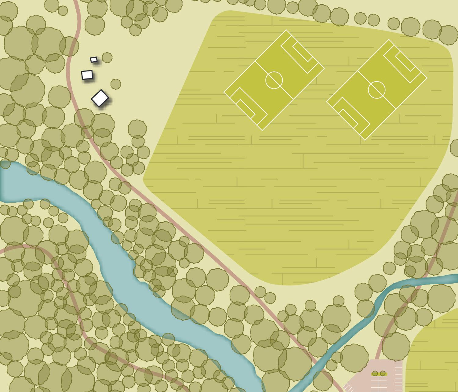
Description: This classification is characterized by a spectrum of natural and recreational spaces. This includes forested areas, preserved green spaces, golf courses, and public parks.
Primary Uses
Parks, recreation facilities, conservation areas, trails, greenways
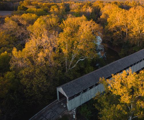
Secondary Uses Stormwater facilities, development related to recreation
Access & Connections
Parking
Pedestrian focused, connected trails, minimal access roads
Small surface parking lots concentrated at trailheads and playgrounds
Open Space n/a
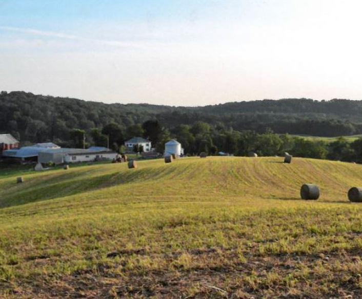
Description: Rural areas include working farms, actively used for agricultural activities such as cropland, pastures, and livestock. Rural areas can include tree rows, wooded areas, and other natural features. Additionally, these areas can include large lot residences as well as out-buildings associated with agriculture activities.
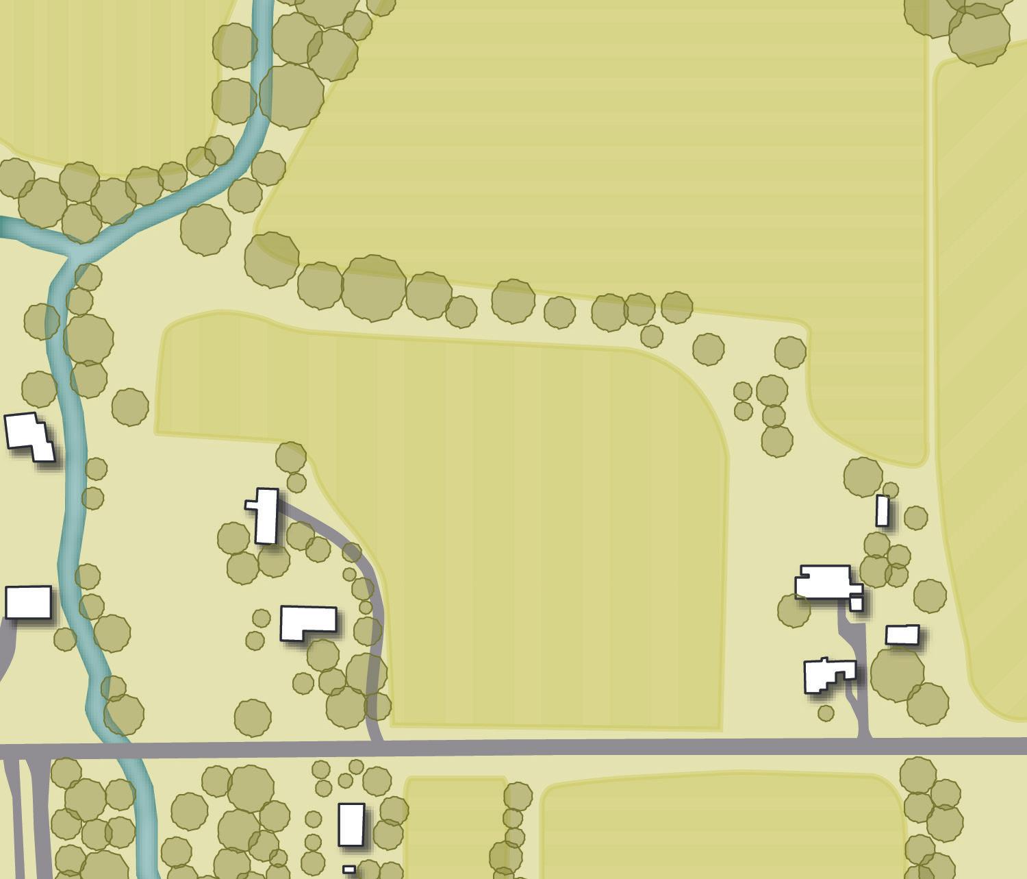
Primary Uses
Agricultural uses for crop farms, livestock farms, farmsteads, orchards, and other working or productive uses of land

Secondary Uses Detached single family residential, open space, limited commercial and industrial uses
Access & Connections
Predominantly vehicular access on more narrow roadways with limited sidewalks or trails
Front- or side-loaded garages and offstreet surface parking lots located in front of a primary structure
Open Space Farmland, pasture, and natural areas
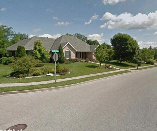
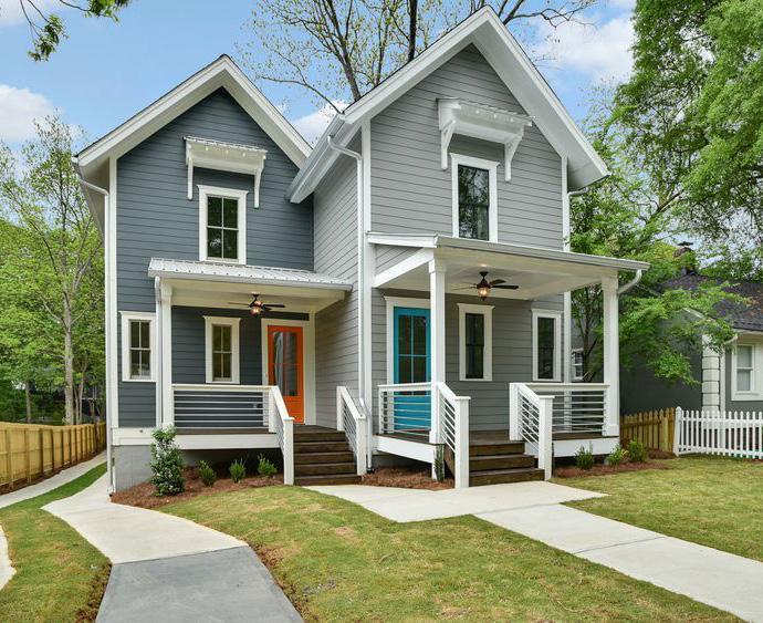
Description: The Suburban Neighborhood district is shaped by residential subdivisions of medium-lot neighborhoods with relatively uniform housing types and densities. Homes typically include attached frontor side-loaded garages. New residential subdivisions in this district should be designed with sidewalks, street trees, neighborhood parks, and trail connections.
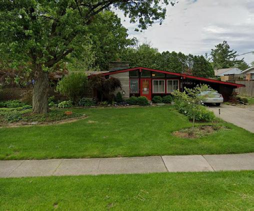
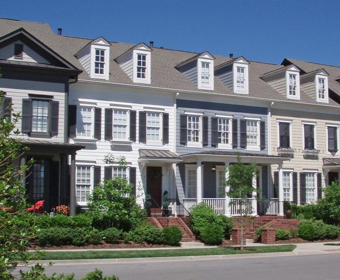
Description: The Transitional Suburban Neighborhood district differs from Suburban Neighborhoods in that it allows attached residential units, like duplexes and townhomes. The purpose of this district moving forward is to designate a place in the community for some of the key Missing Middle housing types.
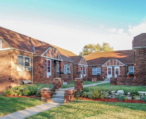
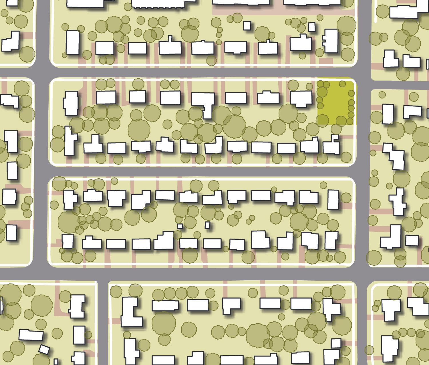
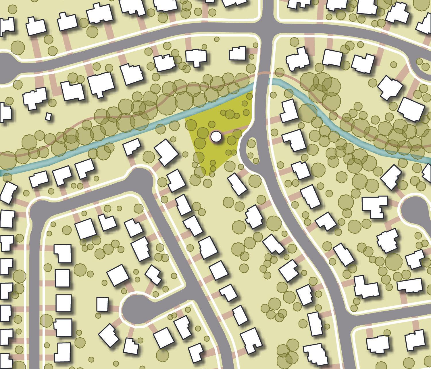
Secondary Uses
Access & Connections
Accessory dwelling units, neighborhood parks and open spaces, schools and civic facilities, limited commercial uses
Auto-oriented in nature, with vehicular access through a connected, curvilinear street network; sidewalks and trails are encouraged
Secondary Uses
Neighborhood parks and open spaces, schools and civic facilities, limited commercial uses
Access & Connections
Parking
Front- or side-loaded garages, surface parking lots in front of primary structures, and on-street parking
Open Space Ample yards, neighborhood parks and play areas
Parking
Auto-oriented in nature, with vehicular access through a connected, curvilinear street network; sidewalks and trails are encouraged
Front- or side-loaded garages, surface parking lots in front of primary structures, and on-street parking
Open Space Ample yards, neighborhood parks and play areas
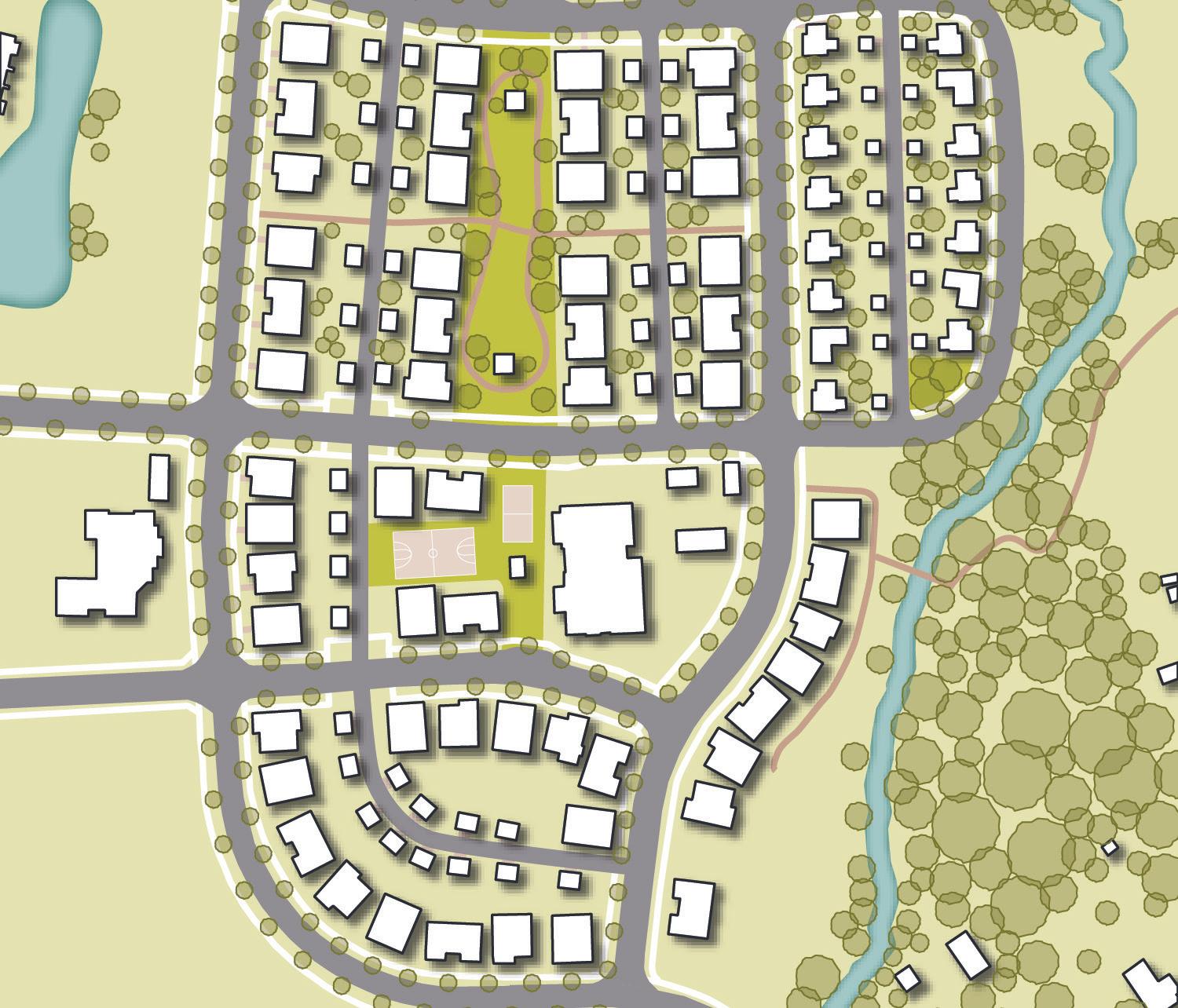
Description: An Urban Neighborhood is characterized by a variety of housing types, mixture of land uses, walkable design, and meaningful green and open spaces. Streets in an Urban Neighborhood should be well-connected and be accompanied by a network of sidewalks and/or trails. This character type embraces traditional neighborhood qualities of New Urbanism.
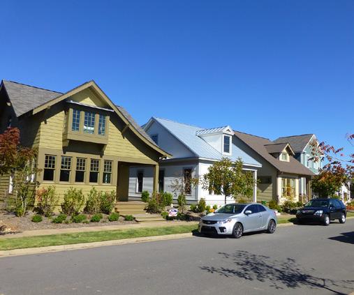
Description: The Urban Mile Square Neighborhood includes the primarily residential areas of the Mile Square. Many different housing types can be found within this neighborhood character, ranging from large fraternity houses to single-family homes. Some neighborhood-scale retail uses can be found within the neighborhood, serving the residents.
Primary Uses
Secondary Uses
Attached and detached single-family and multi-family residential
Small-scale neighborhood retail and mixed-use development, neighborhood parks and open spaces, schools and civic facilities
Primary Uses
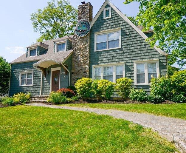
Single-family residential, duplexes, fourplexes, multiplexes, and fraternity houses
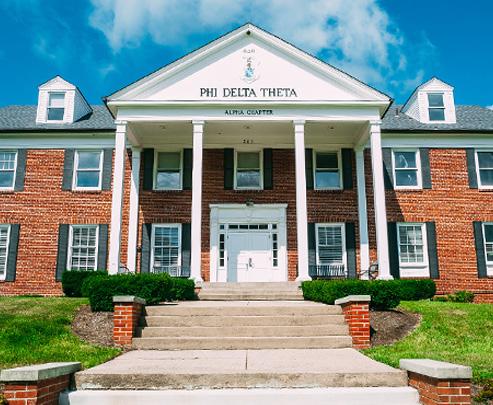
Secondary Uses Limited neighborhood-scale retail and civic facilities
Access & Connections
Compact, walkable, and connected roadway/sidewalk/trail network; alleyways are encouraged behind residential structures
Parking Rear-loaded garages, on-street parking, surface parking located behind structures
Open Space Neighborhood parks and play areas, greenways
Access & Connections
Parking
Compact, grid street network with sidewalks
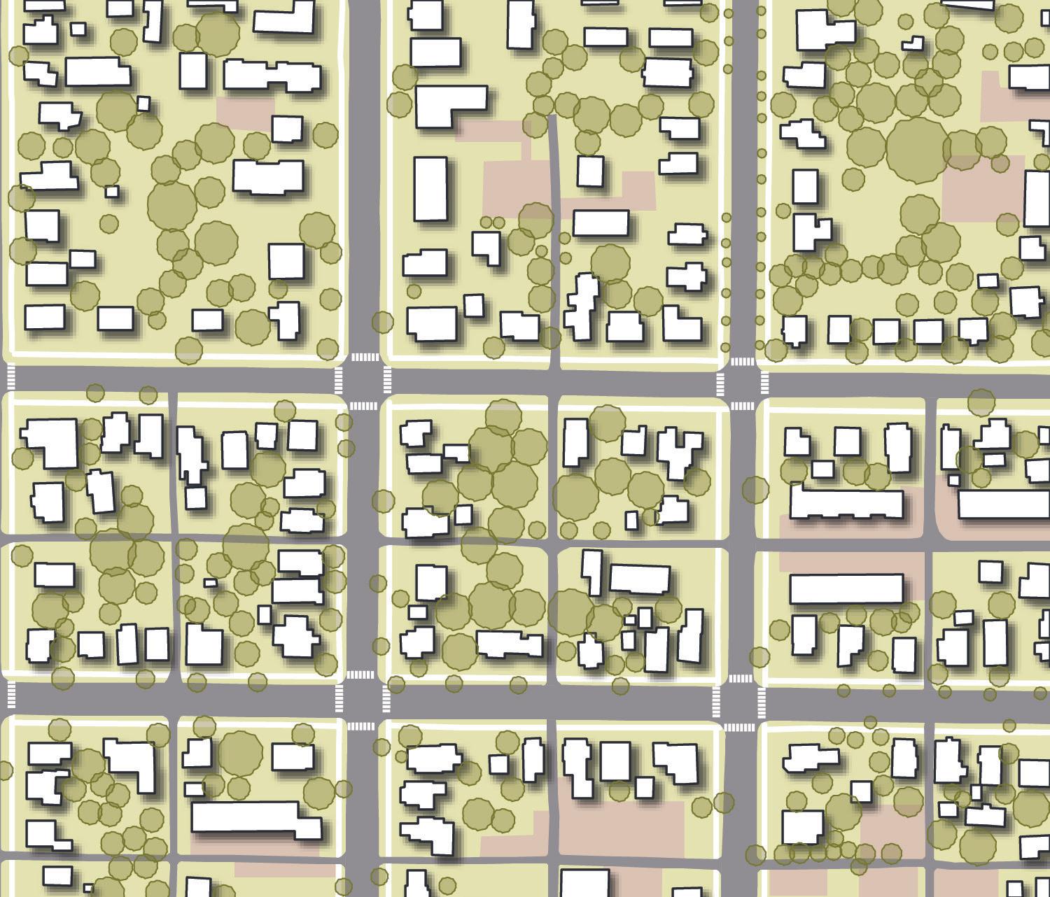
Side- and rear-loaded parking areas, onstreet parking
Open Space Yards, tree-lined streets
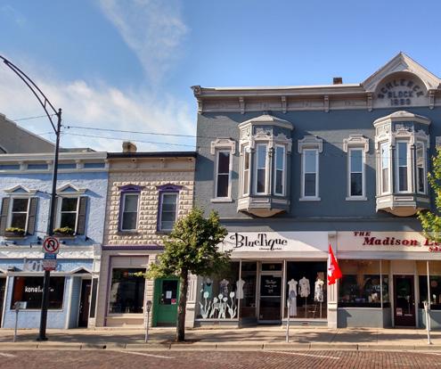
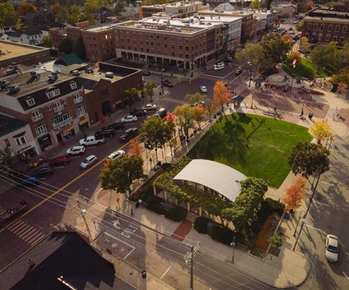
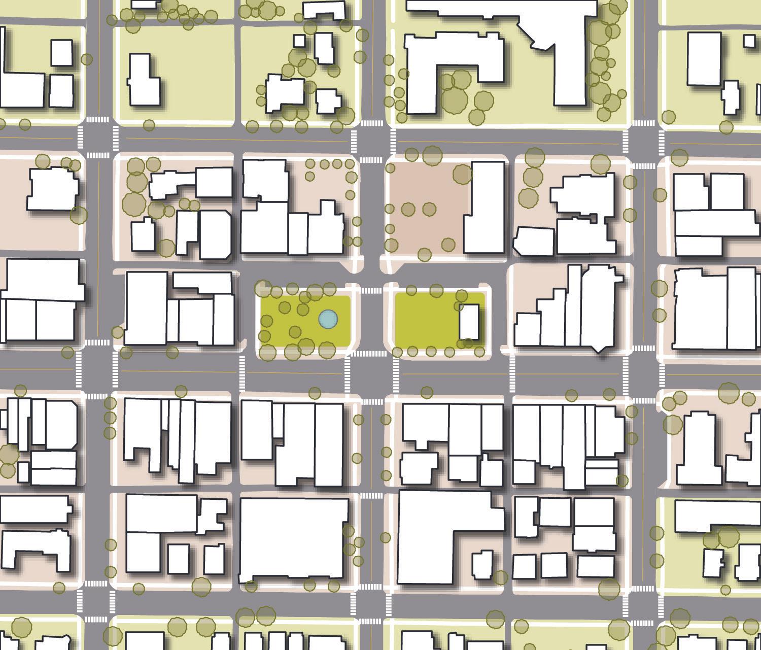
Description: Anchored by the Uptown Historic District, the Urban Core is defined by the traditional character of High Street. This area contains predominantly Italianate-style mixed-use buildings with retail or commercial uses on the first floor and multi-family residential above. This area also includes civic uses, small parks and plazas, and hospitality uses.
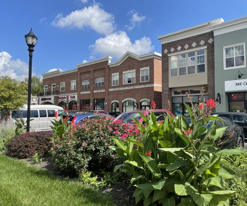
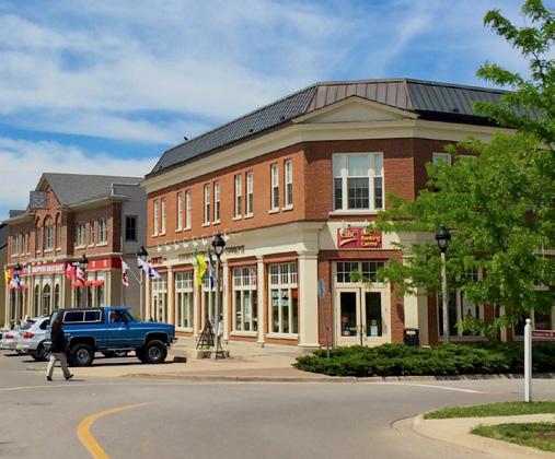
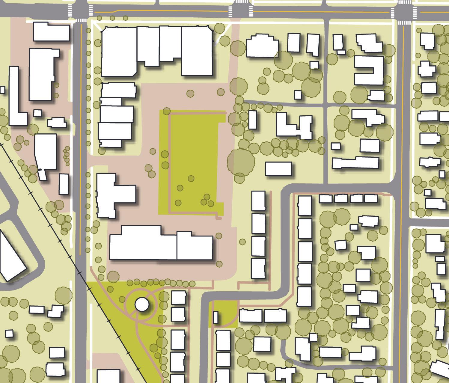
Description: The Mixed Use Center describes a type of development that embodies strong design and placemaking principles. This character type is intended for a concentration of employment-based uses, like commercial, retail, hospitality, and civic uses. These uses should be supported by multi-family residential where appropriate as well as small public spaces.
Description: Employment Corridor character is found along major roadways. This character is more autooriented than other employment character types, but efforts should be made to transform these corridors into more connected, walkable places. Most structures in this district are commercial buildings set back from the roadway with ample surface parking.
Description: McCullough-Hyde Memorial Hospital is an existing example of this character type, but there is opportunity to expand the Employment Center character type to include other office and medical uses. This character type should embody strong planning principles to create amenity-rich employment hubs that are attractive to the modern worker.
Primary Uses Retail, commercial, light industrial, mixed-use development
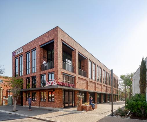
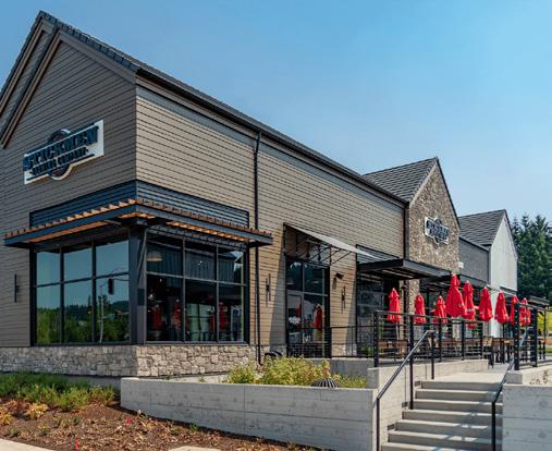
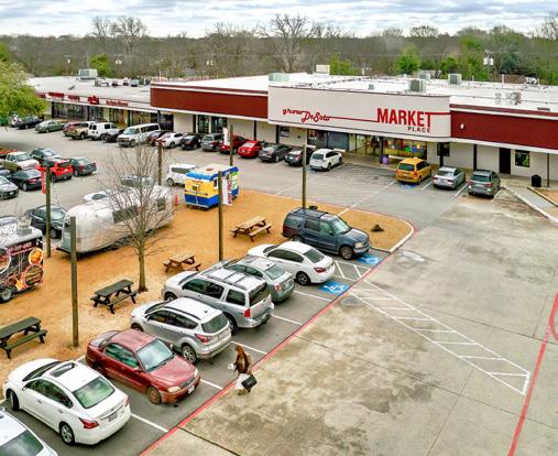
Secondary Uses Multi-family residential, public spaces, shared surface parking
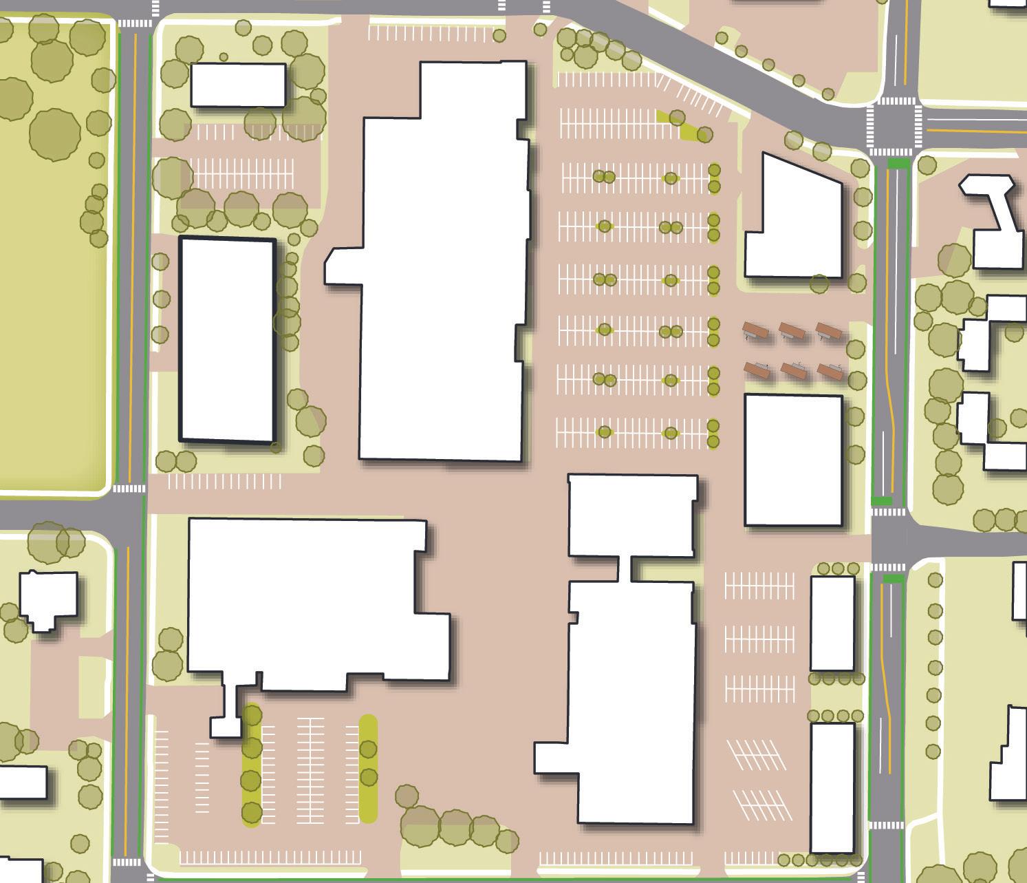
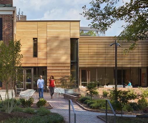
Access & Connections Historically auto-oriented street reimagined for vehicular, transit, and bike/pedestrian access
Parking Off-street surface parking with shared parking encouraged
Open Space Connection to nearby trails and greenways is encouraged
Primary Uses Mix of commercial, retail, hospitality, and civic uses
Secondary Uses Small parks and open spaces, limited multi-family residential
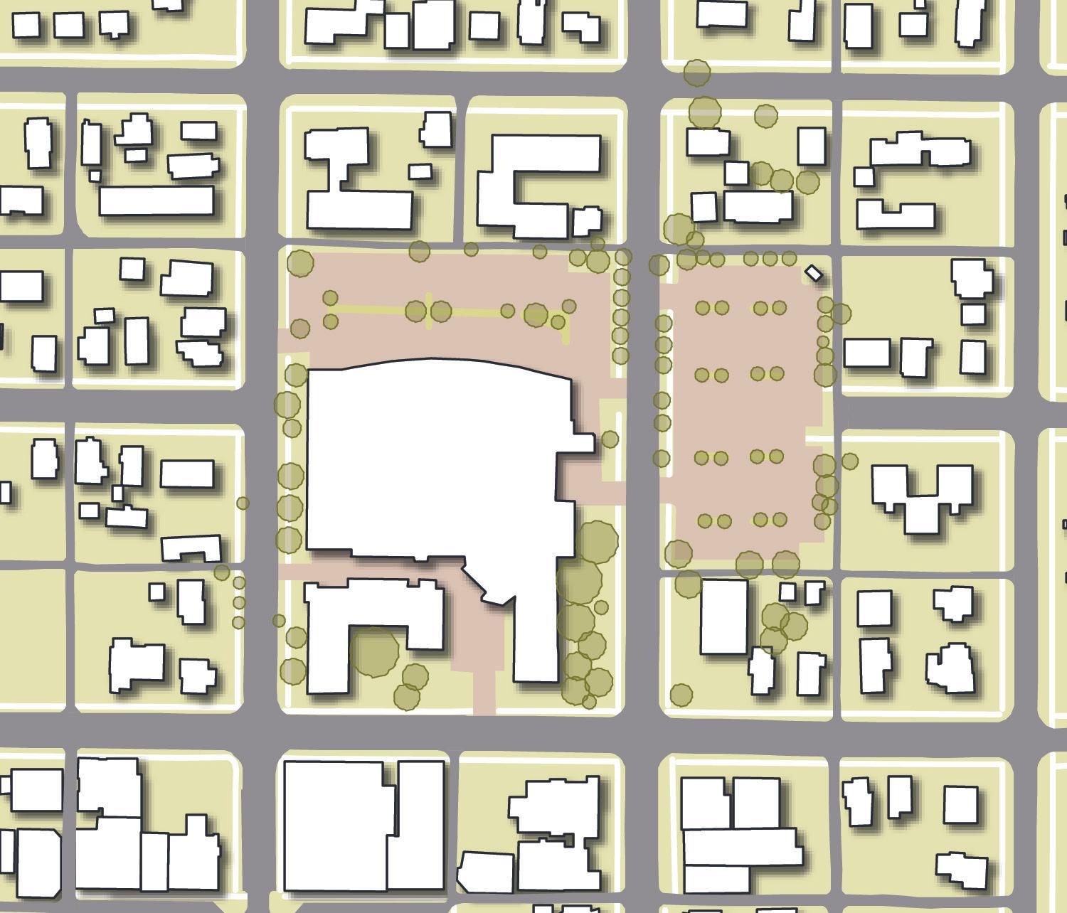
Access & Connections Walkable and connected roadway network with sidewalks/pathways
Parking Side or rear surface parking, on-street parking on public streets
Open Space Small public parks and open spaces
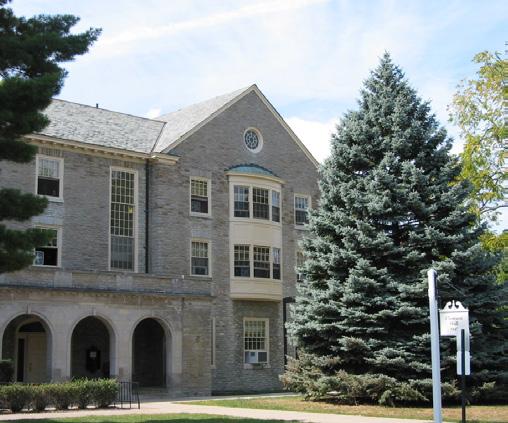
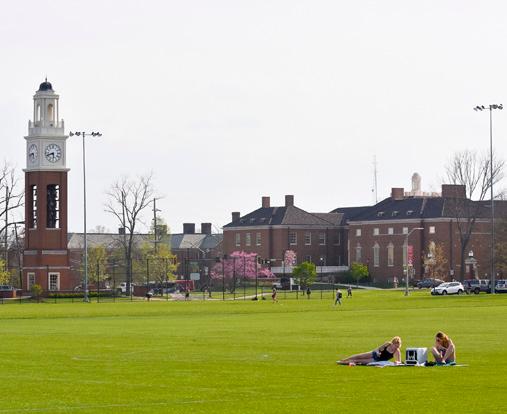
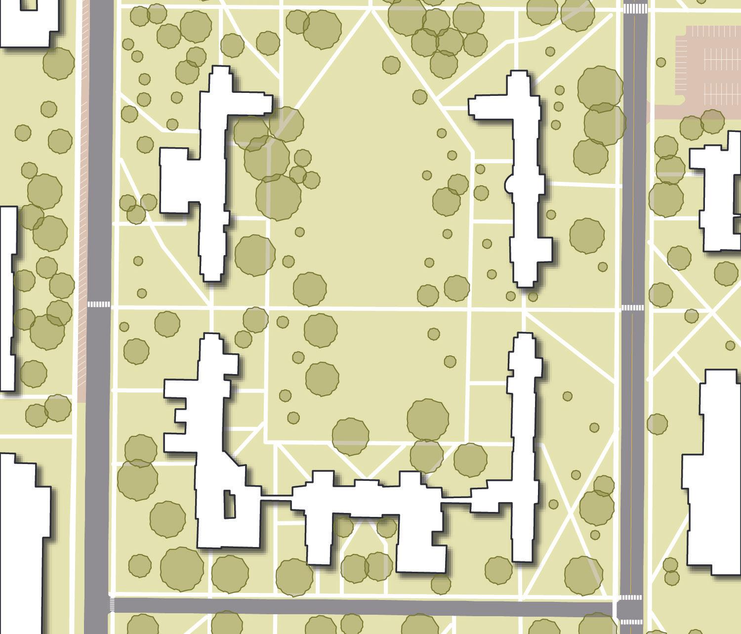
Description: The Campus classification includes Miami University academic buildings, student residence halls, dining halls, and quads and recreational facilities. This character class also includes Talawanda School District property and school buildings.
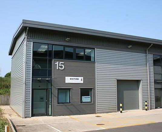
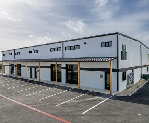
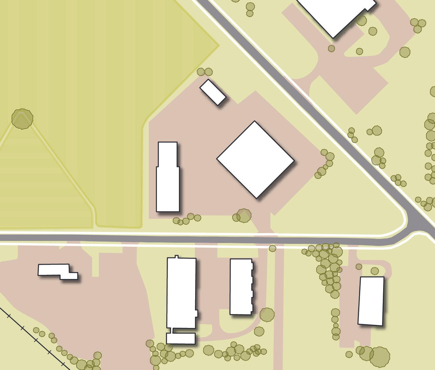
Description: Flex Industrial is characterized by employment uses like light industrial, distribution, and logistics. This district also includes flexible uses, like the adaptation of historic buildings for entrepreneur/ artist/maker spaces. This district is found on the outskirts of the community where sensitivity to preserving existing character is less relevant.
Primary Uses
Secondary Uses
Academic, institutional, higher education, dining halls, student residence halls, medical facilities
Large green quads and student-oriented recreation and sports facilities
Access & Connections
Heavily pedestrian-oriented with ample pathways and sidewalks connecting all areas; roadways connecting large areas, minimal service drives
Parking Integrated parking through on-street parking, structured parking, and limited rear surface parking
Open Space Ample open, green quads; extensive forested areas; sports fields
Primary Uses
Mix of light industrial, commercial, retail, hospitality, and civic uses
Secondary Uses Small parks and open spaces, limited multi-family residential
Access & Connections Walkable and connected roadway network with sidewalks/pathways
Parking Side or rear surface parking, on-street parking on public streets
Open Space Small public parks and open spaces
Chestnut St
S Main St
L1. Ensure future development and redevelopment contributes to an aesthetic, character and quality that is uniquely Oxford.
L1-A1. Favor traditional, urban neighborhood qualities over conventional, auto-oriented designs. For many decades in American cities, planning policies and decisions have prioritized auto-oriented development with driveways, expansive swaths of surface parking, and large setbacks from roadways. Traditional neighborhood design is an alternative to this model of development and is derived from development patterns of early 20th century villages and neighborhoods. This style of development is characterized by narrow front yards, front porches, detached garages accessed through alleyways, walkable “Main Street” commercial areas, a diversity of housing types, and many other qualities that create quality places. Oxford already exemplifies many of these characteristics, especially in the Mile Square. These qualities should be the preferred model for development throughout the entire community.
L1-A2. Explore increasing allowable building height in one or more targeted locations. Community feedback during the planning process indicated that residents would like to see the Mile Square achieve more of a balance between student rentals and housing for permanent residents. One strategy the City may want to employ to accommodate a wider array of housing arrangements could be to increase allowable building height in certain locations, such as Uptown. This type of policy change, which could come in the form of a zoning amendment, should not be adopted until first engaging utility and emergency service providers to ensure future development can be adequately serviced. For instance, water pressure may be found to be deficient and in need of upgrade, or the Fire Department may require a new apparatus or equipment to service taller buildings in the event of an emergency.
L1-A3. Modernize the Oxford Zoning Code to include a hybrid of usebased and form-based approaches to standards. Oxford’s Zoning Code is a legal mechanism used to regulate property use, building size and placement, setbacks, and open space on any given parcel. The regulations for a particular property are determined by a combination of the Zoning Map and the corresponding standards in the Zoning Code. Conventional zoning in many cities focuses predominantly on how the property is used. Often, this style of zoning results in the segregation of land uses, while neglecting the quality of the built environment. Oxford can work to modernize its code to integrate more form-based zoning approaches, which focus on physical form as the organizing principle. This zoning code update should include graphic visualizations to illustrate form-based zoning concepts, which would also help to make the code more user-friendly.
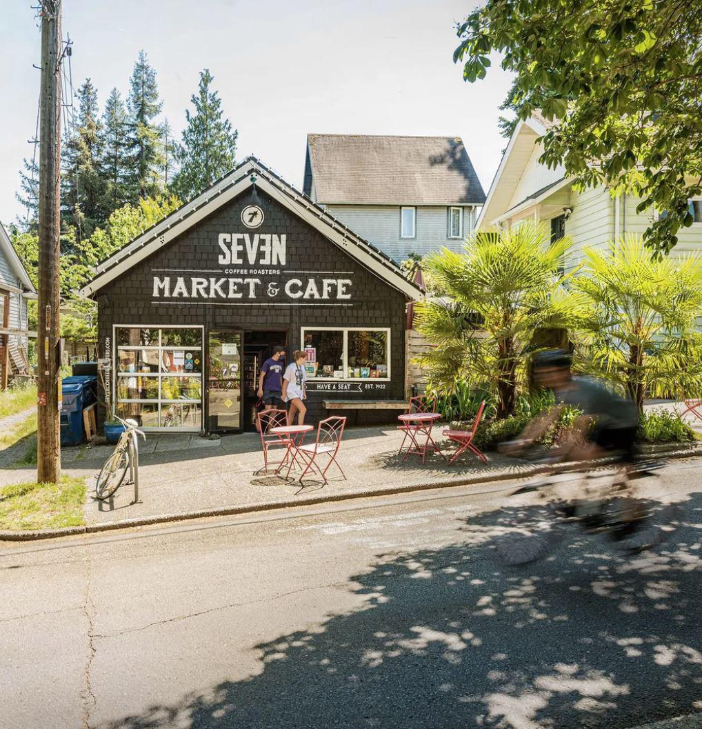
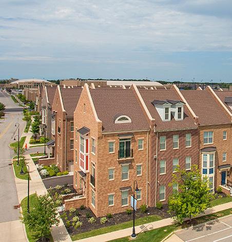
L1-A4. Refine zoning districts to promote mixed-use and neighborhoodoriented commercial development. Given the segregation of land uses created by conventional zoning methods, Oxford can work toward zoning districts that allow for mixed-use development as well as neighborhoodscale commercial and retail uses. This would help Oxford become a more complete community and achieve smarter growth by allowing some businesses and services to be located directly in neighborhoods, creating easier access to these amenities.
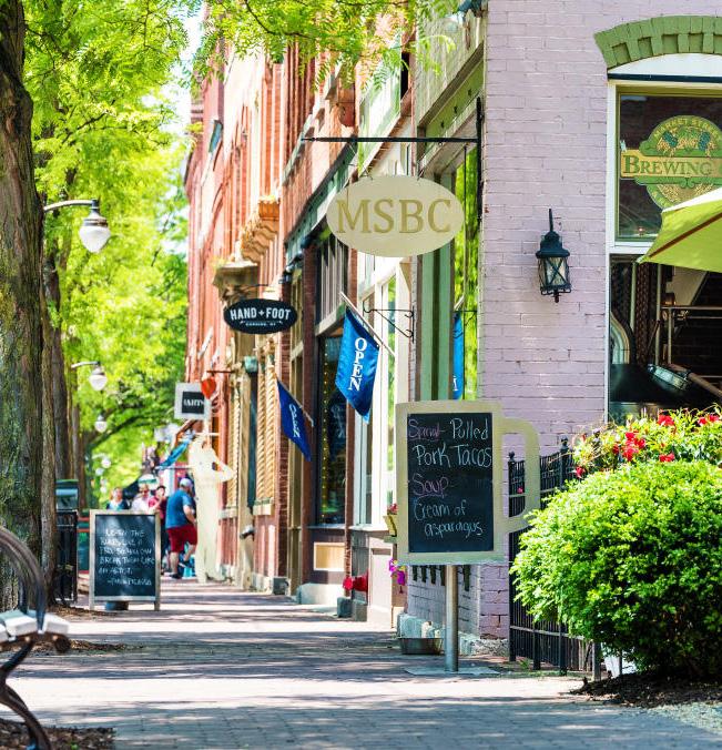 Neighborhood Retail (credit: Seattle Times)
Mixed-Use Development (credit: Eddy Street Commons)
L1-A5. Update the Zoning Code’s Mile Square Design Standards for residential development. Oxford’s Mile Square Design Standards are intended to create a cohesive urban form in the Mile Square, while still allowing for imaginative design that is respectful to surrounding properties and the overall district. These should be updated with this purpose in mind, but also to provide some more rigor and guidance for preferred architectural styles and elements, materials, and building design to ensure new residential development in the Mile Square is appropriate given the district’s unique character.
L1-A6. Develop design guidelines for residential and commercial development. Design guidelines provide a framework for the design of sites, structures, and buildings in a clear and easy to use manner. Guidelines for residential and commercial development in Oxford could include standards pertaining to site layout, building form, architectural styles and elements, materials, scale, signage, ancillary equipment, and landscaping. Design guidelines specific to historic districts already exist, but should be updated as well.
L2. Preserve and enhance the character of the built and natural environment.
L2-A1. Ensure new developments include adequate green and open spaces. Green and open spaces are important for creating livable cities. They provide numerous benefits for people, wildlife, and the environment. All new developments in Oxford should contain some green and open spaces, which could include the preservation of existing tree stands or forested areas on-site, green buffers with greenways around stream corridors, native meadows, neighborhood parks or playgrounds, or pocket parks or plazas. These requirements should be integrated into existing City regulations, like the Zoning Code and design guidelines or standards.
L2-A2. Promote preservation and creation of contiguous open space, aligning development with planned open space networks. Contiguous open space is extremely important for wildlife habitats and movement patterns, and it can also be an amenity for humans if trails or greenways are incorporated. While Oxford should preserve what is already existing, it can also expand open space by encouraging private development to connect into the existing network and create new green spaces.
L2-A3. Explore opportunities for expanded outdoor dining. The COVID-19 pandemic highlighted the need for outdoor gathering places. Outdoor dining, especially, became a desired amenity in many cities. Oxford should explore opportunities to allow for more outdoor dining, especially in the Uptown area, where it would further contribute to a vibrant atmosphere.
L2-A4. Create a Mile Square Master Plan. The Mile Square is the foundation for Oxford’s development and, as such, it is the most walkable, connected, and active part of the city. A Master Plan for this area of town would assess its current conditions, identify major challenges, and propose strategic improvements to carry forward the strong identity and built environment of the Mile Square well into the future. This plan should recommend targeted public and private investments related to the public realm, development and redevelopment opportunities, streets and connections, activation, and policies.
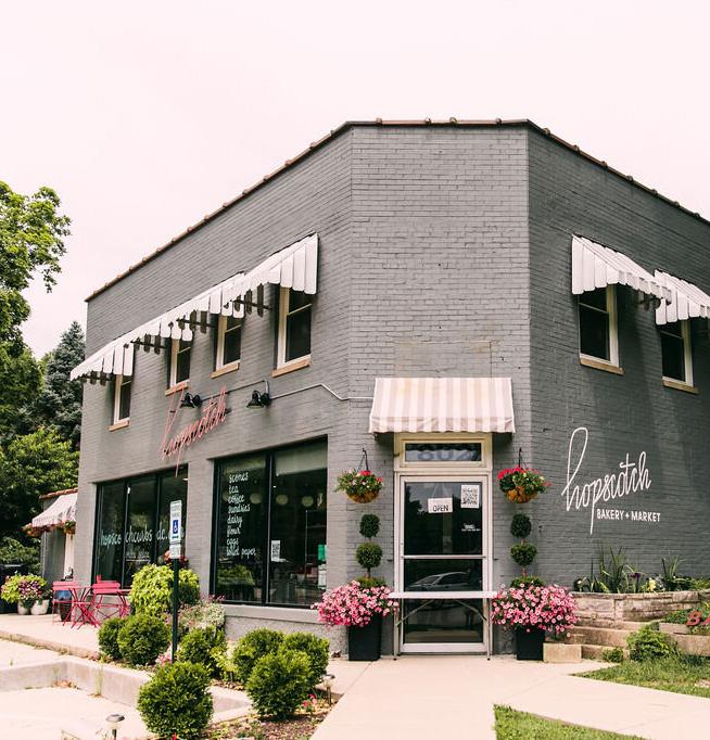
 Neighborhood Corner Store (credit: Hopscotch Bakery)
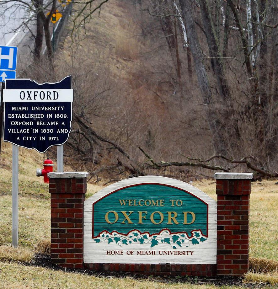
City of Oxford Sign (credit: Journal News)
L2-A5. Inventory and recognize historic and contributing structures throughout the city. Historic structures and buildings contribute significantly to a community’s character. Oxford has already identified historic buildings in the Mile Square and instituted three historic districts within the area. These efforts could be further expanded to the entire community through an inventory of historic and contributing structures. The findings from this inventory can be communicated through a map of historic buildings in Oxford, through historic plaques, and through other means of recognition.
L2-A6. Improve signage and landscaping at major entry points into Oxford to refresh the gateway experience. Gateways and entry points into a community present an opportunity to make a good lasting impression on visitors. This is especially important for Oxford as a college town that welcomes people from all over the world. Miami University has made significant investments to streetscape and entry features along US 27 South, South Patterson Avenue, SR 73, and East High Street, which create a beautiful campus gateway experience. Opportunities exist in other areas of the community to establish a gateway experience into Oxford, especially at SR 732 North, and US 27 North/College Corner Pike.
L3. Promote development and redevelopment in targeted areas.
L3-A1. Favor infill development over physical expansion of districts as much as possible. Infill development refers to development that occurs on once empty or dilapidated lots in an area already served by infrastructure, utilities, and public services. This type of development stands in contrast to greenfield development, which typically occurs on previously undeveloped parcels, often former agricultural land, in suburban or rural locations with limited existing infrastructure and services. The former type of development is more environmentally and economically sustainable for a community and should be favored over greenfield development in Oxford.
L3-A2. Encourage adaptive reuse in buildings of special architectural or historical value. Adaptive reuse refers to the reuse of an existing building for a purpose other than the one for which it was originally intended. Adaptive reuse has many benefits—it is more environmentally friendly by re-purposing existing buildings, often more cost-effective for developers, and it contributes to unique community character by preserving historic buildings.
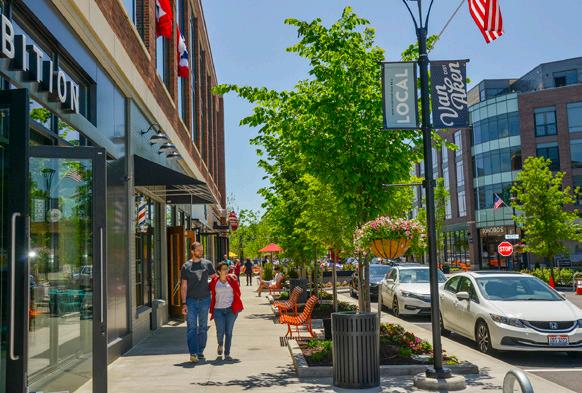
L3-A3. Promote transit-oriented development (TOD) around key transit nodes and corridors. TOD includes a mix of uses that are centered around or located near transit stations. According to the US Department of Transportation (DOT), the development of dense, walkable, mixed-use development near transit attracts people and adds to vibrant, connected communities. TOD can occur when local governments encourage it through land use planning, zoning laws, and changes to building codes, among other things. TOD can be a great tool to create a vibrant, connected community.
Transit-oriented development (TOD) benefits communities through:
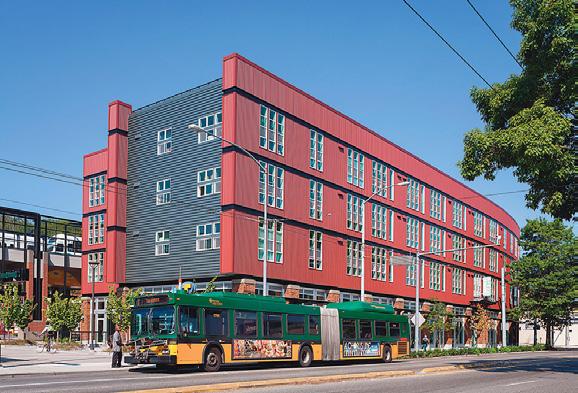
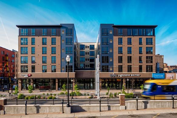
• Increased ridership for transit systems
• Incorporation of public and private sector engagement and investment
• Revitalization of neighborhoods
• A larger supply of affordable housing
• Economic returns to surrounding landowners and businesses
• Congestion relief and associated environmental benefits
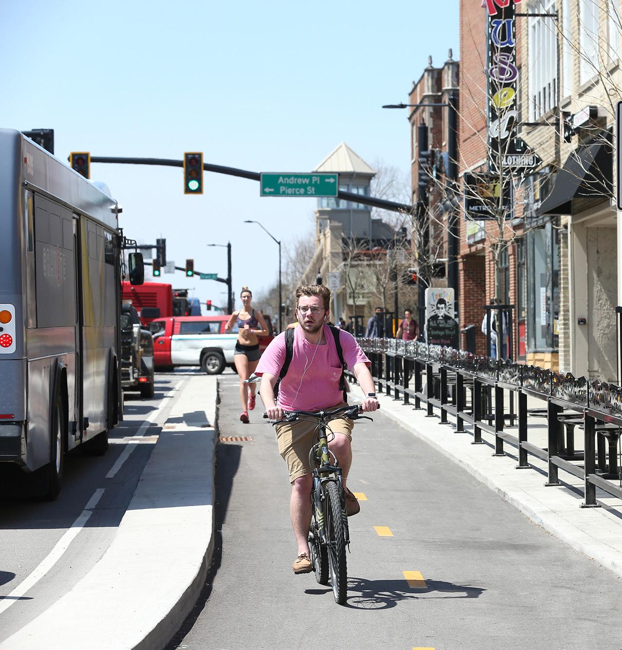
• Improved safety for pedestrians and cyclists through non-motorized infrastructure
L3-A4. Develop an area plan for transit-oriented development for the S. Main/Chestnut Fields area. The potential for an Amtrak station and the creation of a multi-modal transit facility around the South Main Street and East Chestnut Street area would be hugely transformative for Oxford. Given these significant projects, a transit-oriented development (TOD) plan should be developed for that area.
L3-A5. Designate a Pink Zone in a targeted location to encourage local entrepreneurship. Pink Zones can be a tool to encourage targeted economic development in areas that aren’t currently attracting significant private investment. In Oxford, this can be an intermediary tool, while aiming to simplify and reduce barriers through modernization of the Zoning Code. Example strategies employed in a Pink Zone include by-right light industrial uses and maker spaces; by-right multifamily and mixed-use residential, reduction or removal of setbacks, reduction or removal of offstreet parking minimums, and development fee reductions.
L4. Coordinate with regional jurisdictions and partners to plan for future growth and development.
L4-A1. Create a joint plan for land use and development with surrounding jurisdictions. Oxford does not exist in a vacuum; it is part of a larger region entailing other forms or levels of government, including the County and surrounding townships. The City can work with these other government agencies to develop a regional plan for land use and development to ensure that residents from across the region are able to live in a place that aligns with their goals and that meets their needs now and into the future.
L4-A2. Develop an annexation policy and adequate public facilities ordinance to ensure growth aligns with public goals. An annexation policy would describe the conditions by which the City of Oxford would approve an annexation request from a property owner. An adequate public facilities ordinance would more formally link public infrastructure and services to growth in Oxford and beyond. This type of ordinance is a tool for growth management to ensure that public facilities like schools, roads, utilities, and other infrastructure can accommodate additional development. This ordinance can also be a tool to direct growth to areas where adequate infrastructure already exists, in accordance with smart growth principles.
L4-A3. Coordinate regularly with University partners to plan for enrollment growth, student needs, and impact on community. Oxford’s past, present, and future is inextricably linked with Miami University. It is imperative that the City and Miami University continue to foster a strong working relationship to plan for the future, including accounting for anticipated enrollment, student needs, and community needs.
 West Lafayette State Street Corridor
Miami University (credit: Ricardo Trevino)

The renaming of this section from “transportation” as it was called in the last comprehensive plan to “mobility” is indicative of Oxford’s continued dedication to planning for all modes of transportation and a prioritization of pedestrians, bicyclists, transit riders, and micromobility users in addition to automobiles.
Mobility networks play a key role in the dynamics of accessibility and connectivity between places and, as such, are inherently linked with many other sections in this recommendations chapter, most importantly with land use and development. A robust and connected mobility network can shape change, growth, and development. This section is also tied to many other topics covered in this plan, including park access, equity, health, safety, economic development, and job access to name a few.
This section provides a snapshot of mobility conditions today and ongoing mobility efforts in Oxford. This section also outlines a detailed streetscape classification of existing roadways in Oxford, which emphasizes roadway design in addition to function in creating a safe and efficient mobility network. Lastly, this section summarizes a comprehensive list of policies and actions the City and other partners can implement to create a mobility network that works for all users.
Enhance non-auto based transportation network “ “
More bike/pedestrian friendly improvements “ “ Lack of road connections north/south on west side of town
“ “
Oxford’s local network of roads, trails, sidewalks, and transit routes connect residents with local destinations, move traffic through the city, and tie into the larger mobility network to connect people from across the region. Oxford is fortunate to have a large population of college students who often have limited access to vehicles and who, for most of their trips, are traveling a short distance by foot, bike, or bus. This helps to foster a multi-modal network compared to many cities that are more dependent on travel by personal vehicle. The maps and graphics on the following page summarize the existing mobility conditions in Oxford.
Several ongoing projects described in more detail below would help to improve Oxford’s mobility network, especially for active transportation modes and transit riders.
• Amtrak Stop – Planning and coordination are ongoing for an Amtrak Cardinal Line stop in Oxford. Preliminary engineering is underway and is expected to be completed in 2022. The next steps in the process include a review by Amtrak, funding, and construction, which, if successful, could be completed as soon as 2024.
• Butler County Regional Transit Authority (BCRTA) Transit Plan – BCRTA is developing its first ever transit plan, which will outline recommendations to grow and improve BCRTA’s system based on the changing demographics and transportation needs within Butler County.
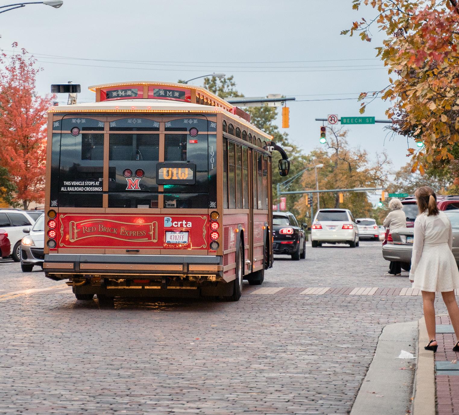
• BCRTA Multimodal Facility – Butler County Regional Transit Authority and Miami University are currently planning the design and construction of a multimodal transportation center at Chestnut Fields located at the old site of Talawanda High School. This facility will provide a one-stop transfer location for BCRTA services in Oxford as well as connections to Middletown and Hamilton. The facility has a proposed opening in 2023 to 2024.
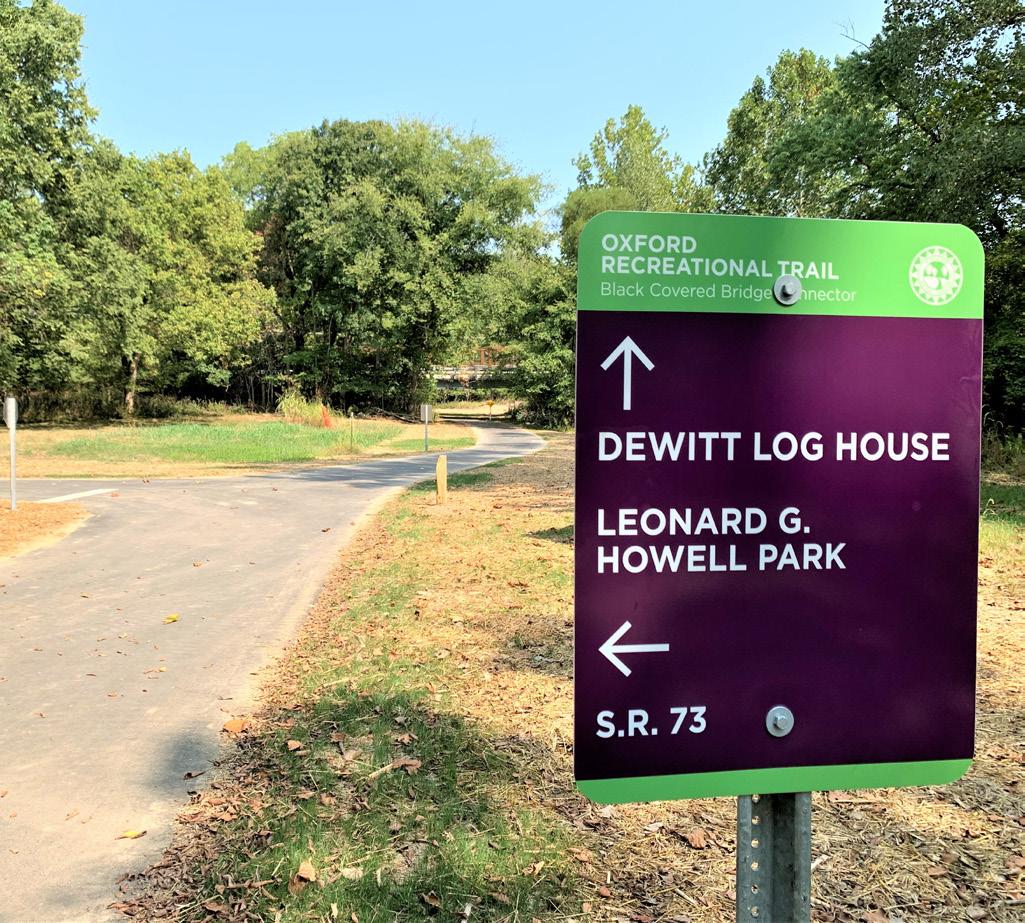
• Oxford Area Trails System (OATS) – Over 30 years ago, an active group of residents planned a network of trails to provide transportation and recreational opportunities to the residents of Oxford. In 2007, a second generation of Oxford residents took this vision one step further by organizing and raising funds for a plan that was added to the 2008 City Comprehensive Plan. Several decades in the making, this dream was realized in 2017 when Phase 1 was completed with the help of a Clean Ohio grant. In 2018, Oxford citizens passed a property tax levy to help fund expansion of the system over a 10-year period. Phase 2 was later completed in 2020 with funding assistance from Miami University and OKI. Phases 3, 4, and 5 have also secured grant funding from OKI. The northwest segment remains to be designed and costs estimated to allow for future grant requests.
BCRTA Bus (credit: Enjoy Oxford) Oxford Area Trail and Signage (credit: Enjoy Oxford)The map above depicts the functional classification of existing roadways in Oxford and the annual average daily traffic (AADT) that those roadways carry. Functional classification is a method of grouping roads in a hierarchy based on the level of transportation service they provide. This way of classifying roads defined the role that a particular road plays in the flow of traffic in a broader network. Functional classification is especially important when applying for public funding for roadway projects and are based on definitions provided by the Federal Highway Administration (FHWA) and the Ohio Department of Transportation (ODOT). US 27, which bisects the city from northwest to southeast, is the principal arterial roadway, providing a high degree of mobility and typically carrying the most daily traffic volumes. SR 73, East Chestnut Street, and South Main Street are all classified as minor arterials, which provide service for trips of moderate length, and carry a moderate amount of traffic. Major and minor collectors gather and channel traffic from local roads to the arterial roadways. The largest percentage of roadway miles in Oxford is comprised of local roads, which are typically designed to provide primary access to local developments, discouraging through-traffic, and encouraging lower speeds.
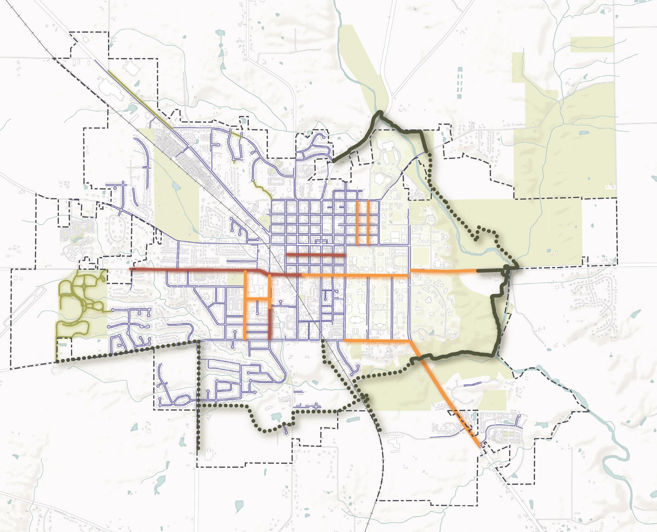
Oxford has a significant pedestrian and bike network, as shown in the map above, which is appropriate given the presence of the large student population who may have limited access to vehicles for at least two of their years at Miami University. The development of multi-use trails, including the Oxford Area Trail loop has been underway for decades. These facilities are the beginning of a more robust multi-modal transportation network that can be used for both transportation and recreation. By connecting these trails with welldesigned on-street bike facilities, they can encourage a mode shift toward biking as a mode of transportation. The sidewalk network is the most connected in the Mile Square and adjacent neighborhoods, but gaps are present in some of the outer areas of the community, creating a physical disconnect between neighbors. Where sidewalks are present, sometimes sidewalk quality and upkeep can also be a barrier to pedestrian mobility.
Oxford Area Trail Proposed Multi-use Trail
Multi-use Trail
Bike Lane
Shared Road
Sidewalk
City Boundary
Parks & Green Space
Streams & Ponds Buildings Roadways
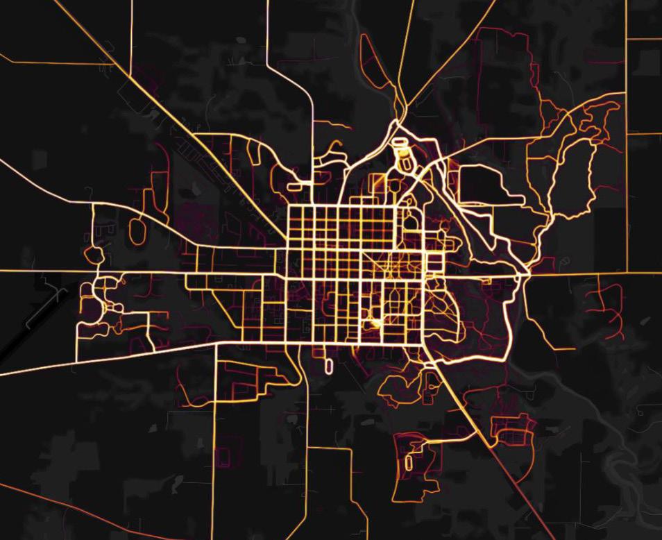
The map above is a heatmap created using data from Strava, which is an app that people use to track their walks, runs, and bike rides. Given the nature of the data source, these trips tend to lean more toward leisure trips than commuting ones, but it still helps to depict where and how much people are using Oxford’s active transportation network. The majority of usage takes place east of Campus Avenue, which is unsurprising given the demographics of Miami University’s student body as well as the presence of many parks, preserves, pedestrian pathways, and other recreation facilities, like Yager Stadium, the Recreational Sports Center, and Cook Field.
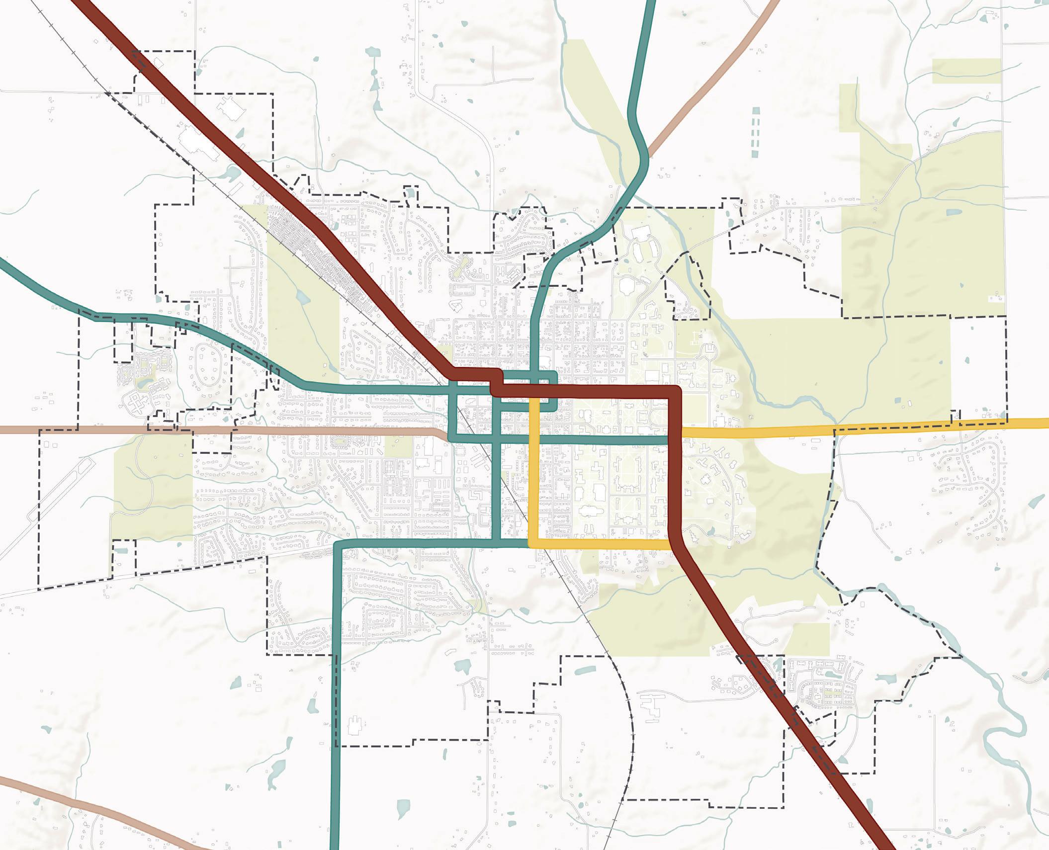
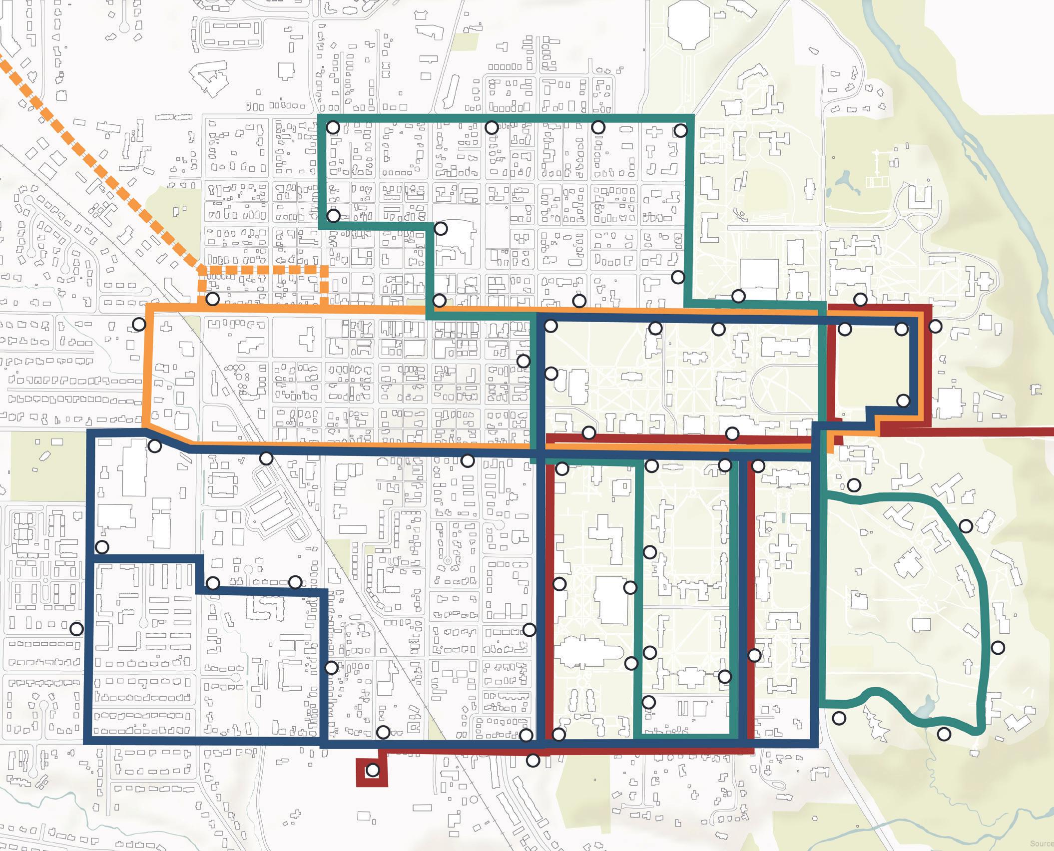
Butler County Regional Transit Authority (BCRTA) currently contracts with Miami University to operate four fixed bus routes, ADA paratransit, and SafeRide after-hours door-to-door shuttle service in Oxford. All these transit options are free for all users. The four fixed routes are mostly focused on connecting key destinations within Miami University’s campus and within the Mile Square. Current transit service extends to the Walmart Shopping Center on College Corner Pike and to the Ditmer parking lot, both of which are destinations used frequently by students. The current routes offer limited transit mobility for general community members, as they do not extend into residential areas beyond the Mile Square.

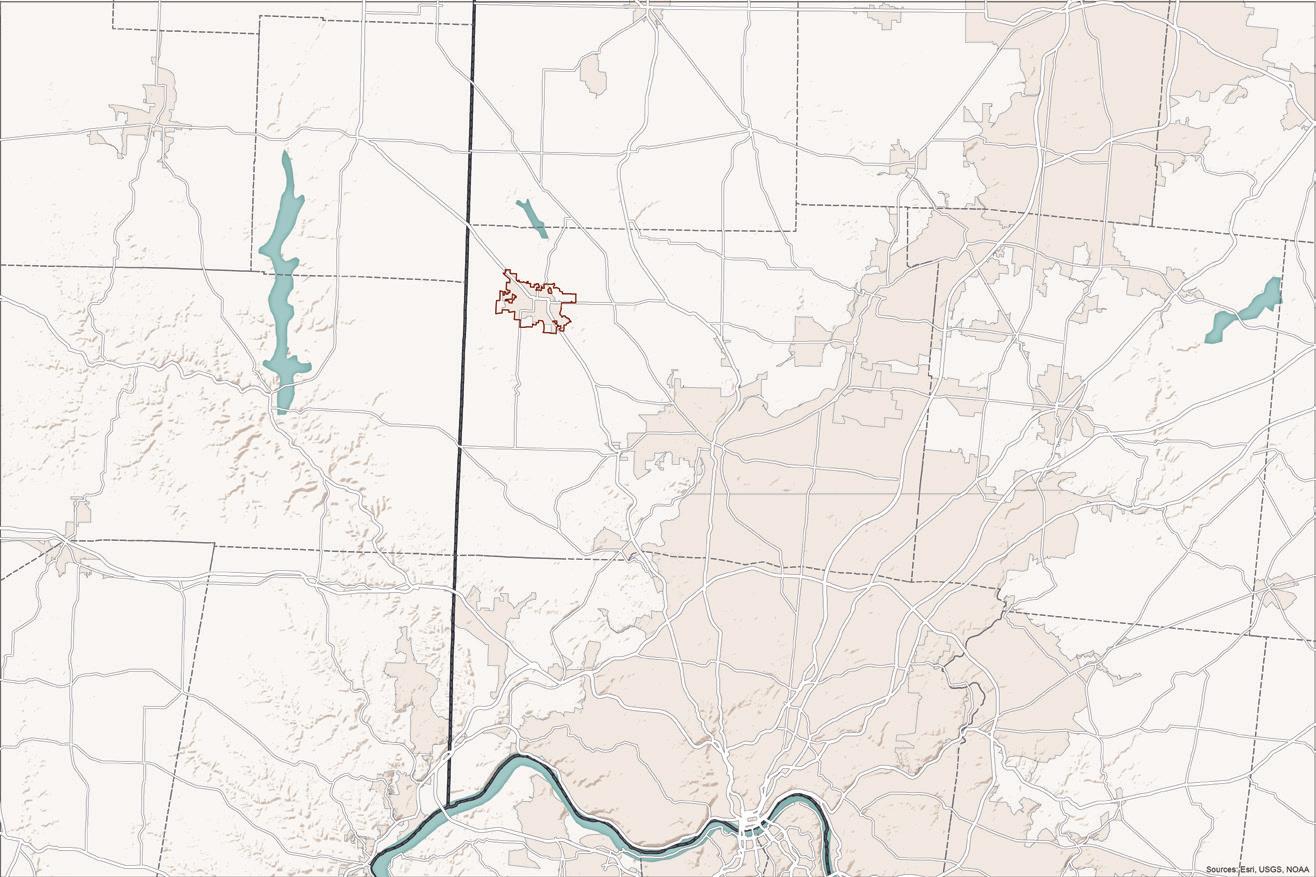
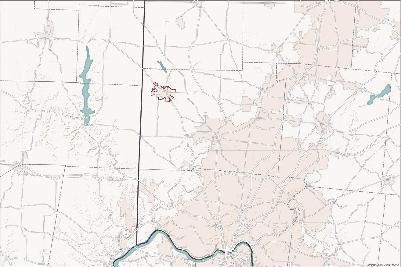
The maps on the following page illustrate the commute patterns of Oxford’s residents and workers. The top map shows the place of employment for Oxford’s residents, which primarily include Cincinnati, suburban communities just north of Cincinnati around the I-275 corridor, and Dayton. Almost half of Oxford residents commute more than 25 miles to work, and one-fifth of residents commute more than 50 miles to work. The bottom map illustrates the place of residence for Oxford’s workforce. According to this analysis, many people who work in Oxford also live in Oxford. Additionally, Oxford’s workers live in the Hamilton, Middletown, and greater Cincinnati region, as well as some nearby towns in Indiana. Oxford’s workers have shorter commutes than residents, with 74% of workers commuting less than 25 miles and 40% commuting less than 10 miles to work. These patterns help to paint a picture of commuting to and from Oxford and sources of heightened traffic regionally and within Oxford.
Commute Mode of Transportation
Source: ACS 5-Year Estimate (2020)
Source: US Census Bureau, LEHD (2019)
miles
to 24 miles 25 to 50 miles >50 miles
Where Oxford’s Workers Live

Source: US Census Bureau, LEHD (2019)
The map above represents Oxford’s current Future Thoroughfare Map, which was adopted in 2007 as part of the Oxford Transportation Thoroughfare Plan. As it stands, this map outlines the desired roadway function and general alignment for existing and future roadways in the community. In addition to the functional classification system described previously (see p. 58), roadways in this map are also classified into the following categories:
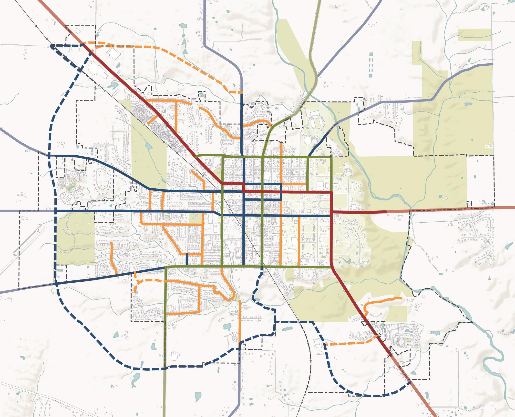
• Rural – denotes existing roadways that should be designed with more rural characteristics
• Urban – denotes existing roadways that should be designed with more urban characteristics
This plan seeks to expand upon the rural versus urban character designation for Oxford’s roadways. The streetscape classification on the following pages describes this effort in more detail.
While functional classification details the level of service of roadways in moving traffic safely, streetscape classification describes the design elements of roadways that contribute to a community’s overall character and make traveling along a roadway feel comfortable for all modes of transportation. This classification examines elements that are within the public right-of-way, such as on-street bike facilities, on-street parking, and street edge conditions. Some elements of this classification system can also extend beyond the right-of-way, like utilities and access management.
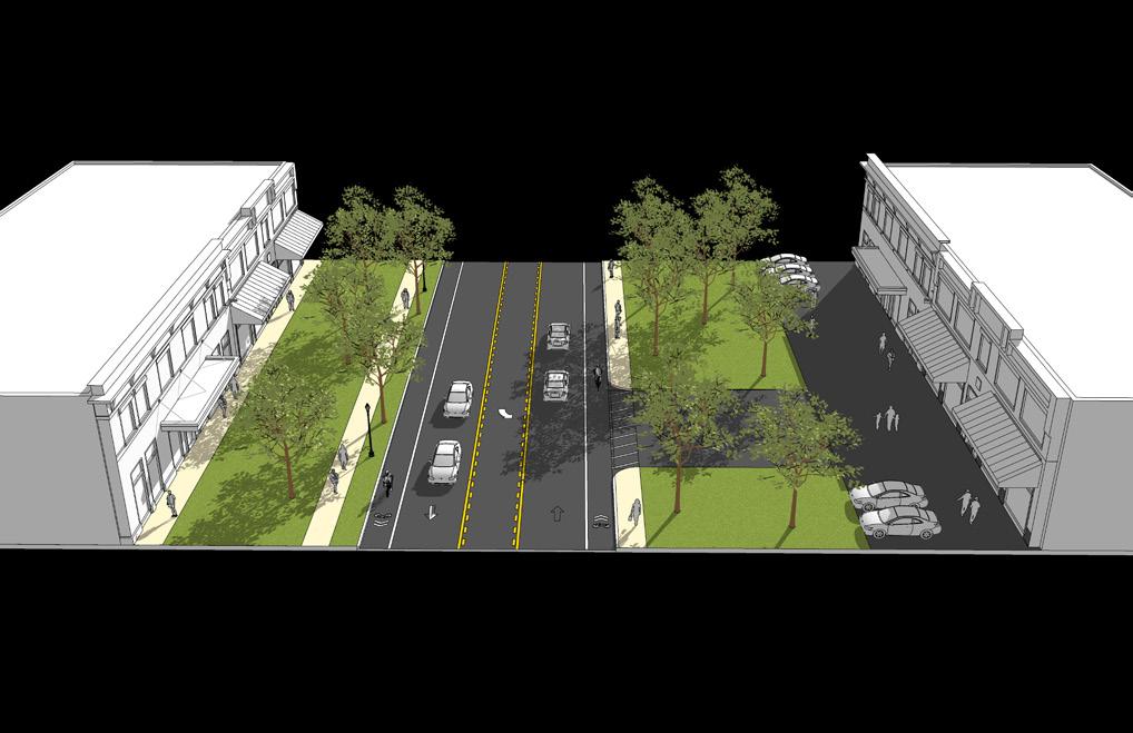
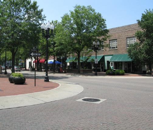
Description: Signature Roadways are those that are unique within Oxford and which serve to create a gateway experience for roadway users and to define Oxford’s character. Unique features of Signature Roadways can include medians, special landscaping treatment, angled onstreet parking, and use of brick in place of asphalt.
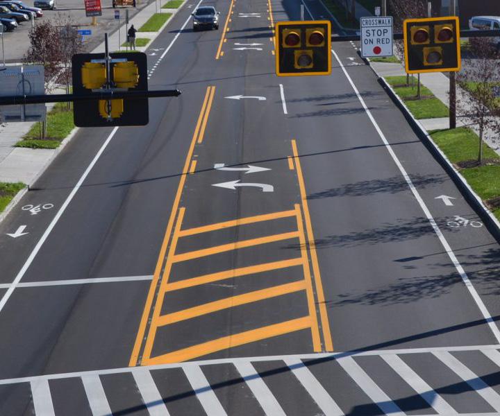
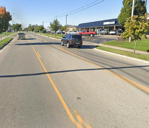
Description: As the name suggests, Commercial Roadways connect areas of predominantly commercial or employmentbased land uses. These roadways often feature many turn lanes and curb cuts to provide access to shopping centers and businesses. Sometimes these roadways also include on-street bike lanes in an attempt to provide more nonvehicular access.
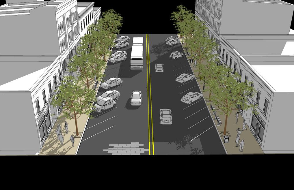
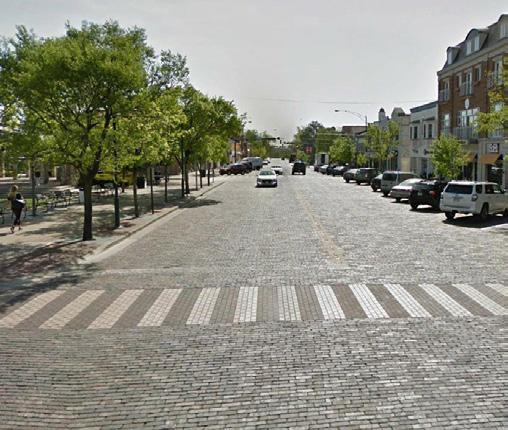
Street Pavement
Drive Lane Width 12’
Turn Lane Width 11’
Number of Drive Lanes 2
On-Street Bike Facility Shared road On-Street Parking Sometimes
Access Management Priority High
Transit Accommodations Yes
Pavement Edge Type Curb Streetscape
Trail/Sidewalk Width
6’ sidewalk min. on both sides of street
Amenity Zone Tree lawn/planters
Amenity Zone Width 8’ min.
Streetlights Yes
Underground Utility Priority High
Street Pavement
Drive Lane Width 10’ - 12’
Turn Lane Width 11’ - 12’
Number of Drive Lanes 2
On-Street Bike Facility Shared road On-Street Parking No
Access Management Priority Medium
Transit Accommodations Yes
Pavement Edge Type Curb Streetscape
Trail/Sidewalk Width
5’ sidewalk min. on both sides of the street
Amenity Zone Tree lawn
Amenity Zone Width 5’ min.
Streetlights Yes
Underground Utility Priority Medium
All existing roadway segments in Oxford have been assigned to the one of eight character classes, which are described on the following pages. It should be noted that the characteristics summarized in the tables on the following pages seek to generally describe each roadway, and actual roadway characteristics may vary to some extent in reality. This streetscape classification is a contextual exercise, which does not supersede the 2007 Thoroughfare Plan.
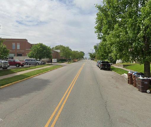
Description: Local Connectors are mostly found along the edges of or bisecting the Mile Square to connect different parts of Oxford. These are two-lane, striped roadways that almost always feature on-street parking. These are often found in areas with a mix of uses, including residential, institutional, and commercial.
Description: Local Commuter Roadways serve to connect mostly residential areas of the city with Miami University and other key employment or business centers. They are very similar to Local Connectors in their design, with the exception of having a buffered bike lane on both sides of the street.
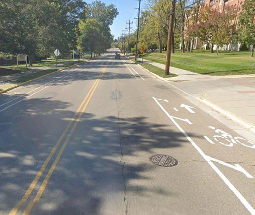
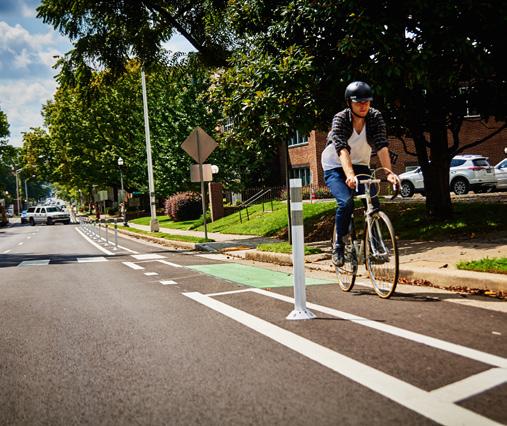
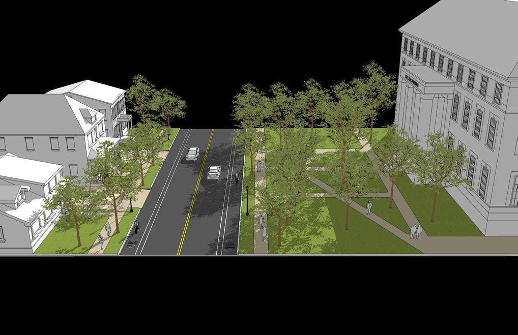
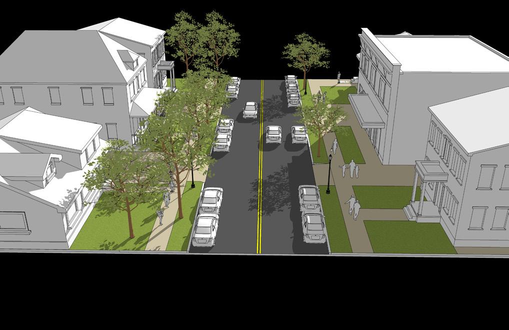
Street Pavement
Drive Lane Width 10’ - 12’
Turn Lane Width 11’
Number of Drive Lanes 2
On-Street Bike Facility Shared road
On-Street Parking Yes
Access Management Priority High
Transit Accommodations Yes
Pavement Edge Type Curb Streetscape
Trail/Sidewalk Width 5’ sidewalk min. on both sides of the street
Amenity Zone Tree lawn
Amenity Zone Width 5’ min.
Streetlights Yes
Underground Utility Priority High
Street Pavement
Drive Lane Width 10’ - 12’
Turn Lane Width 11’
Number of Drive Lanes 2
On-Street Bike Facility 6’ min. bike lane w/2’ buffer
On-Street Parking Sometimes
Access Management Priority High Transit Accommodations Yes
Pavement Edge Type Curb Streetscape
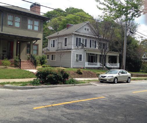
Trail/Sidewalk Width 5’ sidewalk min. on both sides of the street
Amenity Zone Tree lawn
Amenity Zone Width 5’ min.
Streetlights Yes
Underground Utility Priority High
Description: The predominantly residential streets within the Mile Square are characterized as Mile Square Roadways. These are relatively narrow, unmarked two-lane roadways that allow for on-street parallel parking on both sides. Due to their design and speed, these also serve as low-stress streets for pedestrians and bicyclists.
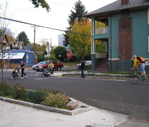
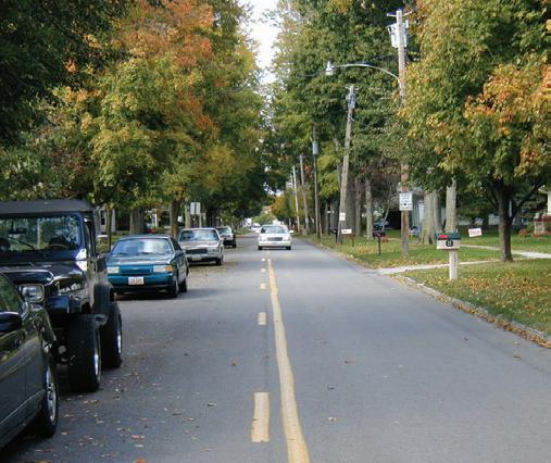
Description: Found within residential neighborhoods, Neighborhood Roadways are those that provide a high level of access to housing units. These are two-lane roads that often allow for on-street parallel parking. Connectivity between Neighborhood Roadways should be a top priority for the community moving forward.
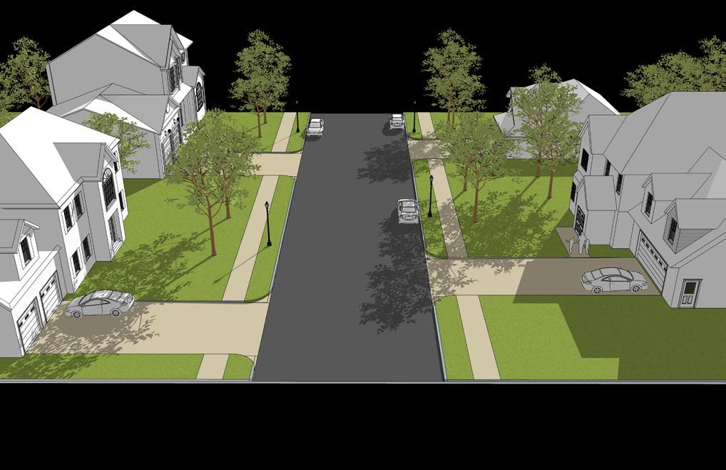
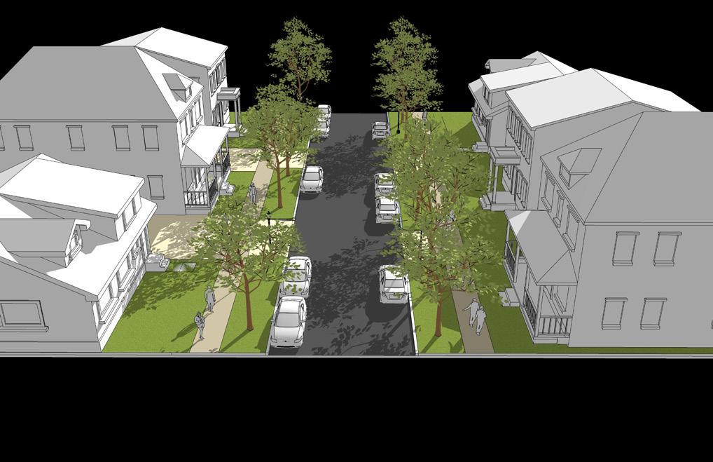
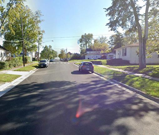
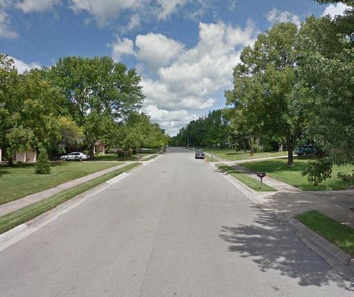
Street Pavement
Drive Lane Width 10’ - 13’
Turn Lane Width n/a
Number of Drive Lanes 2
On-Street Bike Facility Shared road On-Street Parking Yes
Access Management Priority Medium Transit Accommodations No Pavement Edge Type Curb Streetscape
Trail/Sidewalk Width
Example Example
5’ sidewalk min. on both sides of the street
Amenity Zone Tree lawn
Amenity Zone Width 6’ min.
Streetlights Yes
Underground Utility Priority High
Existing
Street Pavement
Drive Lane Width 10’ - 13’
Turn Lane Width 11’
Number of Drive Lanes 2
On-Street Bike Facility Shared road On-Street Parking Yes
Access Management Priority Low Transit Accommodations No Pavement Edge Type Curb Streetscape
Trail/Sidewalk Width
5’ sidewalk min. on both sides of the street
Amenity Zone Tree lawn Amenity Zone Width 5’ min.
Streetlights Yes, at intersections
Underground Utility Priority High
Description: Rural Roadways are the most simplistic of all of Oxford’s roadways. These are two-lane roads that feature a swale for a street edge rather than a typical curb. These roadways typically have limited streetscape elements.
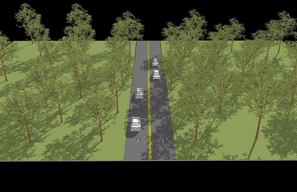
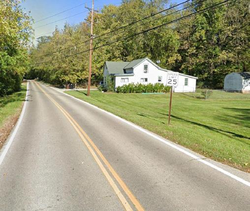
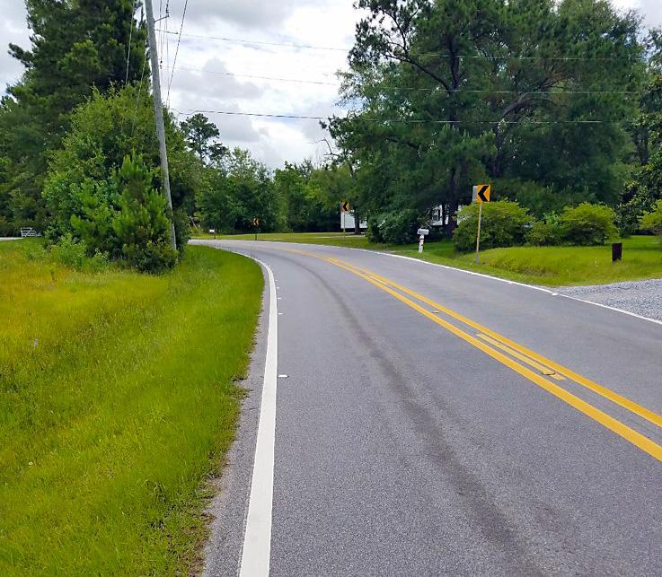
Description: Local Access Roadways are typically found on Miami University’s campus or are private streets located within developments and serve to provide a high level of access to and within these areas of Oxford. These roadways vary in design, but are typically narrow, two-lane roadways with low speeds.
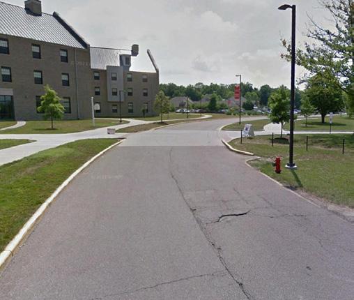
Street Pavement
Drive Lane Width 10’ - 12’
Turn Lane Width 11’
Number of Drive Lanes 2
On-Street Bike Facility Shared road On-Street Parking No Access Management Priority Medium
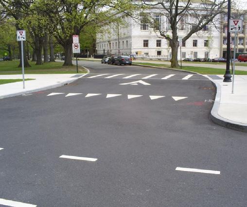
Transit Accommodations No Pavement Edge Type Swale Streetscape
Trail/Sidewalk Width None
Amenity Zone Natural buffer, tree rows
Amenity Zone Width 20’ min.
Streetlights No
Underground Utility Priority Low
Street Pavement
Drive Lane Width 10’ - 12’
Turn Lane Width 11’
Number of Drive Lanes 2
On-Street Bike Facility Shared road On-Street Parking No Access Management Priority Low Transit Accommodations Yes Pavement Edge Type Curb Streetscape
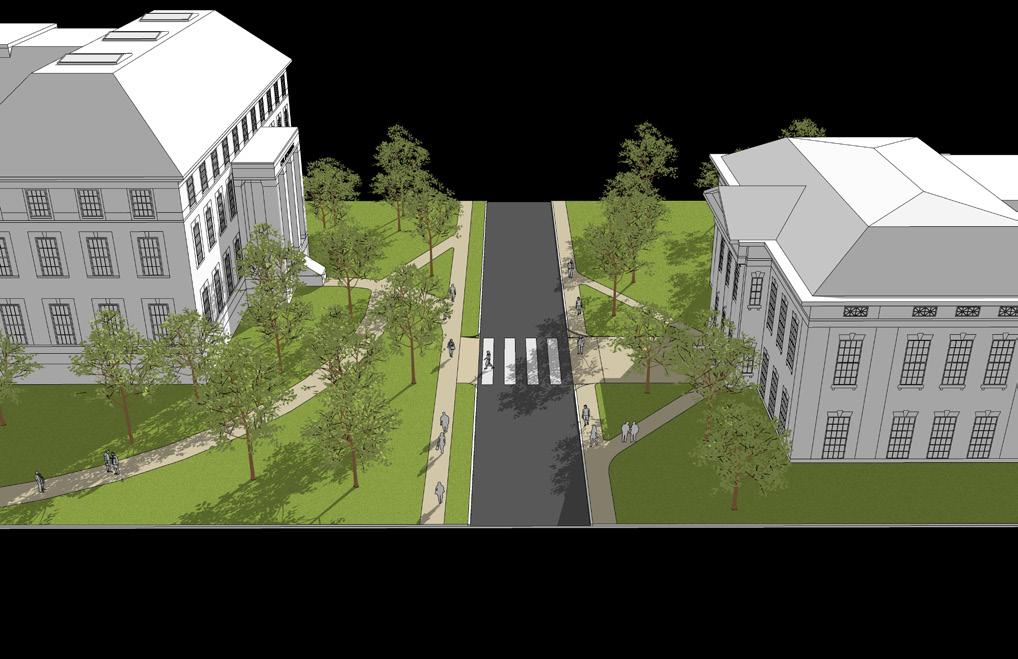
Trail/Sidewalk Width None
Amenity Zone Varies
Amenity Zone Width Varies Streetlights Sometimes
Underground Utility Priority Low
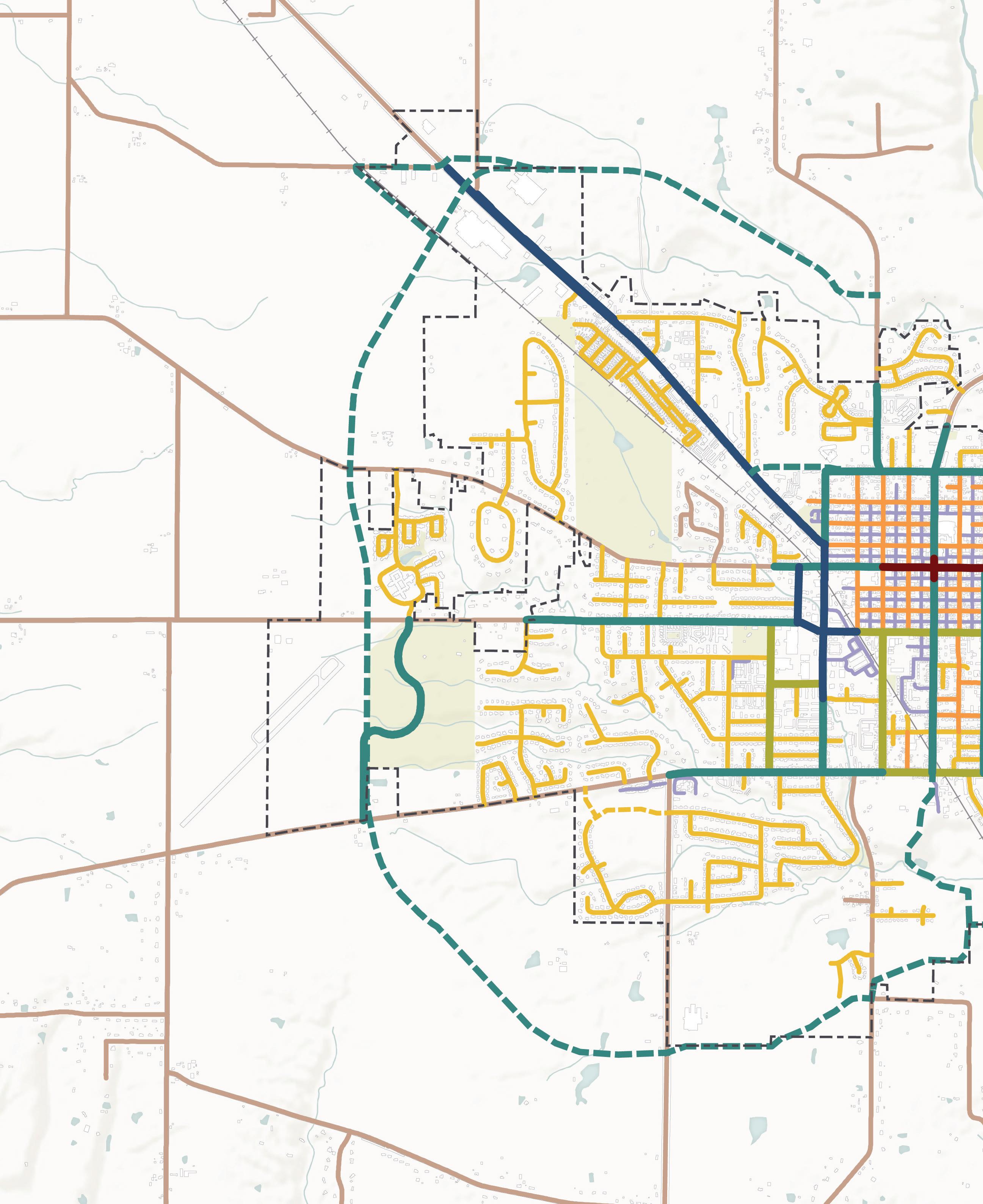
Todd Rd
Ringwood Rd
Oxford Community Park
Oxford Country Club
Fairfield Rd
S Main St
Chestnut St
Brookville Rd Booth Rd
Oxford Reily Rd
Kehr Rd
MorningSunRd
SomervilleRd
E High St
Bonham Rd
FourMileCree k
Millville OxfordRd
Reinhart Preserve Bachelor Preserve Becks Preserve Western Woods
Oxford Milford Rd
H ar kers Run
Shollenbarger Rd
Trenton Oxford Rd
Existing Roadways
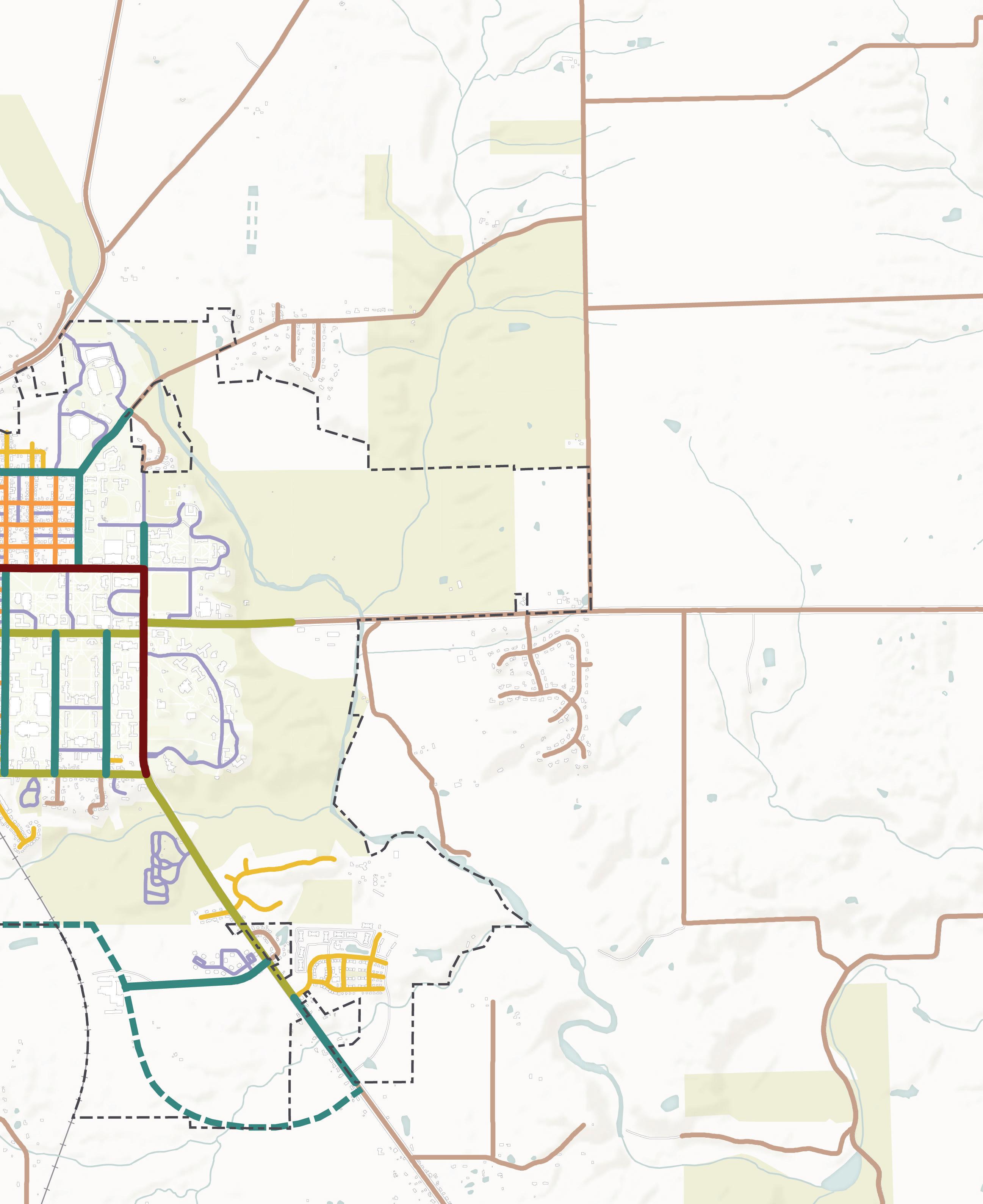
Signature Roadway
Commercial Roadway
Local Connector Roadway
Local Commuter Roadway Mile Square Roadway
Neighborhood Roadway Local Access Roadway Rural Roadway
2007 Future Roadways
Future Local Connector Roadway
Leonard Howell Park 2,000’
0
Recommendations | 69
M1. Promote alternative modes of transportation.
M1-A1. Ensure new private developments embrace Complete Streets principles and practices. The City of Oxford adopted a Complete Streets Policy in 2019. This policy applies to all roadways in Oxford with some exceptions as outlined in the policy itself. New roadways being constructed in private developments would be included in this policy and, therefore, should be designed with Complete Streets in mind.
M1-A2. Implement Complete Streets principles and practices in public infrastructure projects. Public infrastructure projects on roadways in Oxford should take a proactive approach and incorporate Complete Streets design practices early in the process to ensure needed improvements are planned for from the start.
M1-A3. Expand bus and/or shuttle transportation options to provide service accessible within a 1/4 mile to all City residents. Residents who live in areas beyond the Mile Square have limited access to the existing BCRTA bus routes. The City should work with other partners, including BCRTA or other shuttle service providers to expand public transportation to these areas. Oxford should strive to provide walkable public transportation access within ¼ mile of all residents.
M1-A4. Establish passenger rail service to/from Oxford. Planning for a potential Amtrak Cardinal Line stop in Oxford has been underway for some time. The creation of an Amtrak stop will be a multi-step process and is contingent upon many organizations, chiefly Amtrak itself. The process would include obtaining approval, funding, station design, and other tasks. This is a top priority for Oxford and the broader community, so the City should continue to be an active player in this initiative.
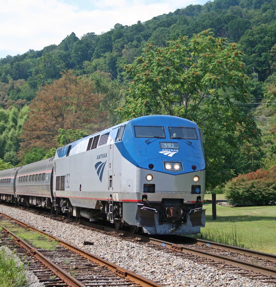
M1-A5. Encourage commuter transit connections to/from other regional hubs. In addition to potential passenger rail, other transit connections would help to connect Oxford to the Cincinnati region. The City should work with Butler County Regional Transit Authority (BCRTA) and Southwest Ohio Regional Transit Authority (SORTA)/Metro to encourage these transit agencies to expand routes between Oxford and other areas of the region, such as the CVG Airport, regional job centers, and areas with a high concentration of social and human services.
M1-A6. Analyze public transit access and transportation costs for car dependent neighborhoods, with an emphasis on serving populations most in need. Low- and moderate-income households and older adults are more likely to be reliant on public transportation but are also the groups that face barriers due to inaccessible public transport or transportation costs. Analysis should be completed to evaluate public transportation access for low- to moderate-income households. Ideally, public transportation would connect these households with job centers, social services, medical facilities, parks, and commercial areas. Additionally, this evaluation should include access for third shift workers and weekend shuttle access for special events.
Complete Streets (n.) : streets that are designed for all users of the public right-of-way who can safely and conveniently reach their designations along and across a street or road, regardless of their chosen mode of transportation, age, or physical condition. All users include: pedestrians, cyclists, transit and school bus riders, people with disabilities, motorists, freight haulers, service personnel, and emergency responders. Benefits include:
• Address chronic disease (e.g., asthma, diabetes, heart disease)
• Increase physical activity
• Improve safety
• Reduce human exposure to transportation-related emissions
• Reduce motor vehicle-related injuries and fatalities
• Reduce transportation’s contribution to air pollution (Source: U.S. Dept. of Transportation)
Amtrak Cardinal LineM1-A7. Update policies for micromobility transportation. Micromobility options are a growing trend for transportation in the United States. Often, these options are distributed and operated by private companies within the public right-of-way (ROW). While it is beneficial for people to have more mobility options to choose from, often there can be unintended consequences with the roll-out of micromobility devices. For example, sometimes electric scooters are left haphazardly on sidewalks, blocking access or creating barriers for others. Regulations pertaining to the proper use of micromobility options can help to prevent these types of issues from arising.
M2. Facilitate the safe and efficient flow of traffic within and through the city.
M2-A1. Adopt a new Transportation Plan. Oxford’s consolidated transportation plans exist apart from this comprehensive plan. The Oxford Transportation Plans document was created in 2020 and consists of four components: (1) the Oxford Thoroughfare Plan, adopted in 2007; (2) the Bike and Pedestrian Safety Improvement plan, adopted in 2014; (3) the Complete Streets Policy, adopted in 2019; and (4) the Oxford Area Trails system plans, which continue to be refined by additional studies and public input as new trail phases are implemented. These consolidated plans should be regularly updated and should be aligned with the recommendations set forth in this comprehensive plan. The Thoroughfare Plan, having been last updated in 2007, should be top priority to be updated and its recommendations should work in conjunction with the future land use map in this plan (see p. 50).
M2-A2. Adopt Access Management Regulations to regulate curb cuts and intersections along major thoroughfares. According to the Transportation Research Board, access management is a technique to “control the spacing, design, and operation of driveways, median openings, interchanges, and street connections to a roadway. It also involves roadway design applications, such as median treatments and auxiliary lanes, and the appropriate spacing of traffic signals.” The City should develop standards and procedures for access management regulations for local roadways. These are especially important for roadways like South Locust Street, where many curb cuts are present and where development along the corridor yields high levels of vehicular traffic. These regulations should apply to these types of roadways and other major thoroughfares throughout the city.
M2-A3. Conduct a feasibility study for a grade-separated crossing over or under a railroad. The railroad that bisects Oxford is both an asset and a barrier to transportation. It acts as a barrier due to the eight atgrade crossings where the railroad and a roadway intersect. This causes issues for ease of movement for other modes of transportation, and it poses safety concerns. To address these issues, a feasibility study should be completed to determine if a grade-separated crossing is possible over or under the railroad, where that crossing or crossings could be located, what modes it should benefit, and best practices for the design of those improvements given surrounding context.
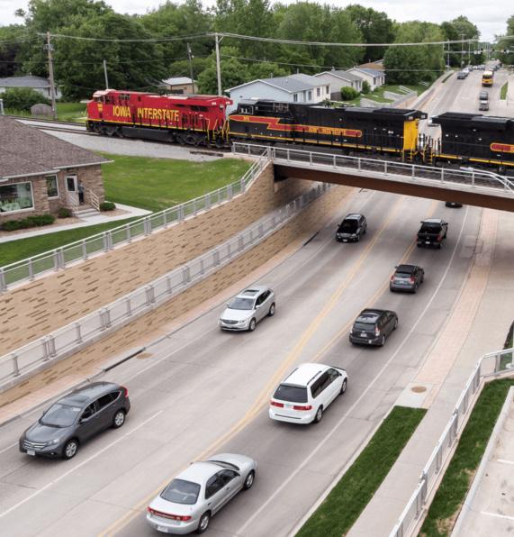
Micromobility (n.) : any small, low-speed, human- or electric-powered transportation device, including bicycles, scooters, electric-assist bicycles, electric scooters, and other small, lightweight wheeled conveyances. (Source: FHWA)
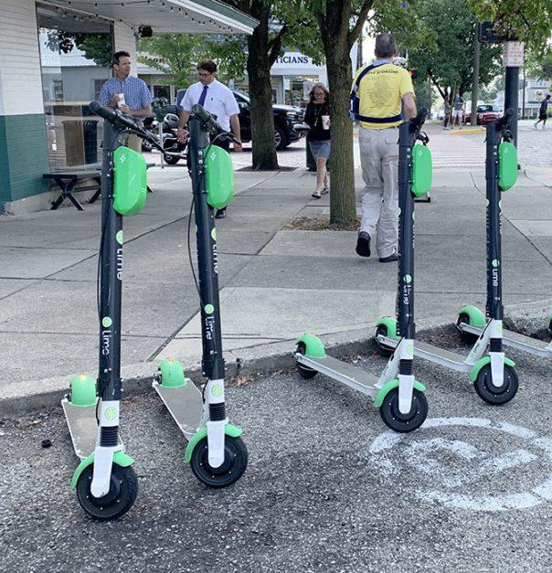 E-Scooters (credit: Oxford Observer)
Grade Separated Rail Crossing (credit: Snyder & Associates)
M2-A4. Research and recommend an alternate truck route to reduce truck traffic Uptown. Semi-trucks travel through Oxford according to nationally identified truck routes, which include SR 73 and US 27. No matter which way they enter Oxford, to get through the city, they have to travel through Uptown along High Street. This detracts from the pedestrianoriented environment of Uptown and creates concerns about safety and noise pollution. Research should be conducted to determine the best path forward for an alternate truck route.
M3. Foster a culture of active transportation.
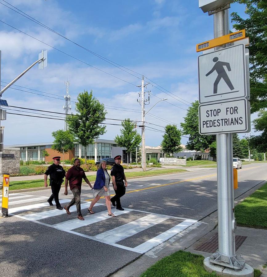
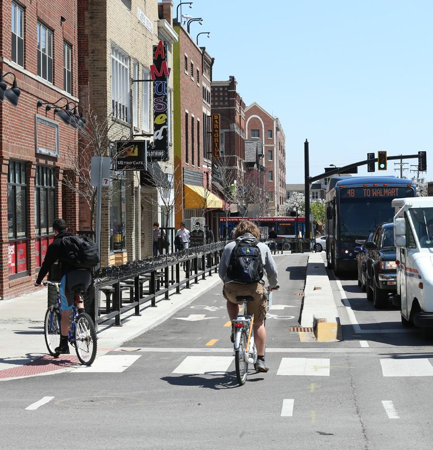
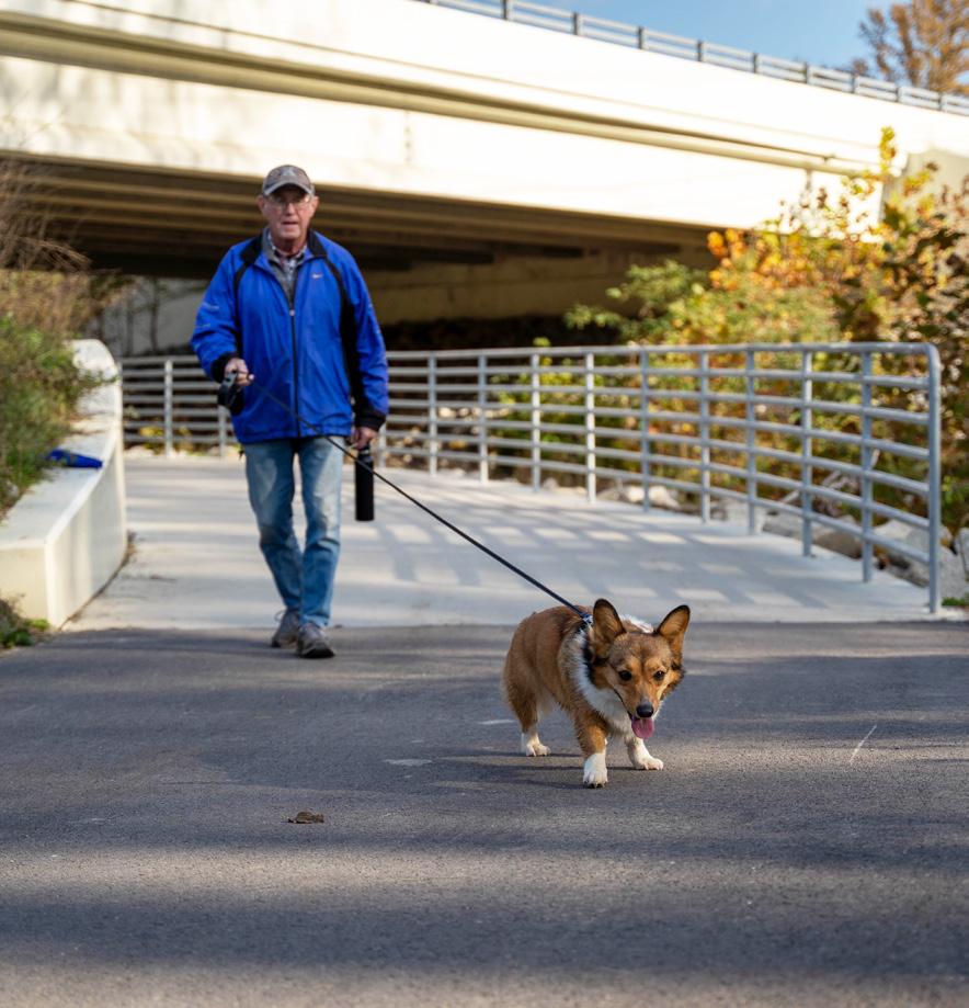
M3-A1. Treat pedestrian and cyclist mobility with equal importance to vehicular mobility. Since the early 20th century, most American cities have prioritized the automobile as a mode of transportation. To ensure a safe, equitable, and effective mobility network in Oxford, it is essential that the City and other partners also prioritize pedestrians, cyclists, and other users. Oxford should strive to be a community where walking, biking, or riding transit is as easy and accessible as driving a car. This type of policy direction will also help to make Oxford a better place for young people, older adults, people with mobility challenges, people without access to a car, and many other folks who currently face barriers due to a car-centric culture.
M3-A2. Expand the Oxford Area Trails system by completing the perimeter loop and linking to neighborhoods and commercial areas. The Oxford Area Trails system has been in the making for several decades. The first three phases of the Oxford Area Trails system have connected the east side of the community, including the many parks, preserves, green spaces, and recreation facilities that exist on the east side. Continuing to build on the success of the Oxford Area Trails system, the City and partners should continue to implement trail segments to complete the full loop and link all parts of Oxford—neighborhoods, commercial areas, and park and recreation facilities.
M3-A3. Conduct a feasibility study for connections between the Oxford Area Trails and business districts. The current Oxford Area Trails system is a wonderful transportation asset, and additionally fulfills a recreational function for many Oxford residents. To continue establishing the trail system as a more effective means for active transportation including biking and walking, it is important to connect the trails to key destinations, like business districts. A feasibility study would help to identify opportunities and challenges in making these connections.
M3-A4. Ensure sidewalks are cleared of snow. To allow for walking as a safe and efficient mode of transportation year-round, sidewalks should be cleared of snow and ice. Where sidewalks are adjacent to private property, it is typically the property owner’s responsibility to ensure sidewalks are cleared to eliminate hazards and obstructions for travel. Sidewalks and private walkways in high activity areas such as Uptown and along commercial corridors are especially important to keep clear.
Oxford Area Trail (credit: Enjoy Oxford) Bike Facility in Business DistrictM3-A5. Establish a green alley system in the Mile Square to create a network of shared, low-impact streets. Alleys are an essential part of the Mile Square’s urban fabric, providing access to parking areas, garages, and even some businesses. Often, however, alleyways are seen as dark, narrow, and unsafe spaces in cities. The Mile Square’s alley system is an underutilized asset that could be transformed from forgotten “back of house” spaces for deliveries and waste storage to safe, functional pathways for people to use and enjoy. Green alleys are typically shared streets that use sustainable materials, pervious pavement, and other green infrastructure elements to manage stormwater and create safer places for alley users. The City should craft a plan for the overall green alley system, seek funding and grants, determine which improvements or design elements are appropriate for different alleys, and complete detailed designs for specific alleys. Some alleys should continue to be utilized for essential functions, such as deliveries and waste storage.
The following design elements offer a menu of options that could be applied to alleys in the Mile Square depending on their context:
• Pervious pavement
• Moveable bollards
• Rain gardens
• Pedestrian-scale light fixtures
• Public art
• Consolidated recycling and waste receptacles
• Designated delivery and loading zone
• Wayfinding signage
Green alleys in Uptown might look different than those in more residential parts of the Mile Square. In Uptown, enhanced alleys can also be a tool for economic development and placemaking, creating attractive spaces in between buildings that prompt people to explore more areas of Uptown. The rendering shown below illustrates the potential of this type of improvement, using an alley just off High Street in Uptown as an example.
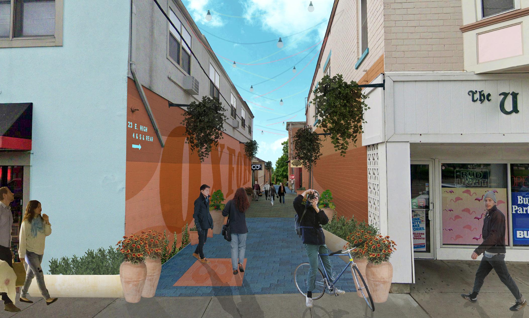
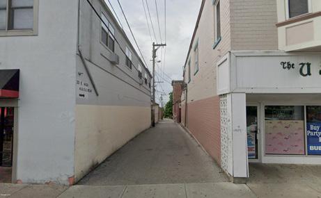
M3-A6. Reduce off-street parking minimums in certain areas of town. Off-street parking minimums are a development requirement that create barriers to high quality development and quality of place by requiring the construction of a certain number of surface parking lot spaces per dwelling unit or square feet of commercial space. This requirement is often redundant and unnecessary in areas of town that allow for on-street parking.
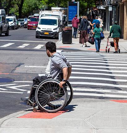
M3-A7. Update Typical Sections in the Subdivision Regulations to ensure high quality, complete streets. Oxford’s Codified Ordinances include Subdivision Regulations which outline a set of requirements for subdivisions in Oxford. The Typical Sections within these regulations outline how streets, alleys, trails, and easements shall be designed and constructed. These Typical Sections should be updated to better incorporate Complete Streets principles and guide roadway design that better reflects the character of Oxford with high-quality street elements and streetscapes.
M3-A8. Enable safe walking and biking to in-town schools through infrastructure improvements and programming in partnership with Talawanda School District. A culture of active transportation can and should start with Oxford’s youngest residents. By facilitating walking and biking to school, the community can teach children about the value of active transportation and how to do it safely. In the past, Talawanda School District (TSD) and City of Oxford have participated in Safe Routes to School (SRTS), a national program that empowers communities to make walking and bicycling to school a safe and routine activity. This program should be reinstated in Oxford and various infrastructure and programming improvements made to enact on the program goals. These improvements can include dedicated and protected bike facilities, educational programs to teach kids about safe practices when walking or biking, or the establishment of a walking or biking “bus” or network of families that all walk or ride bikes to schools together.
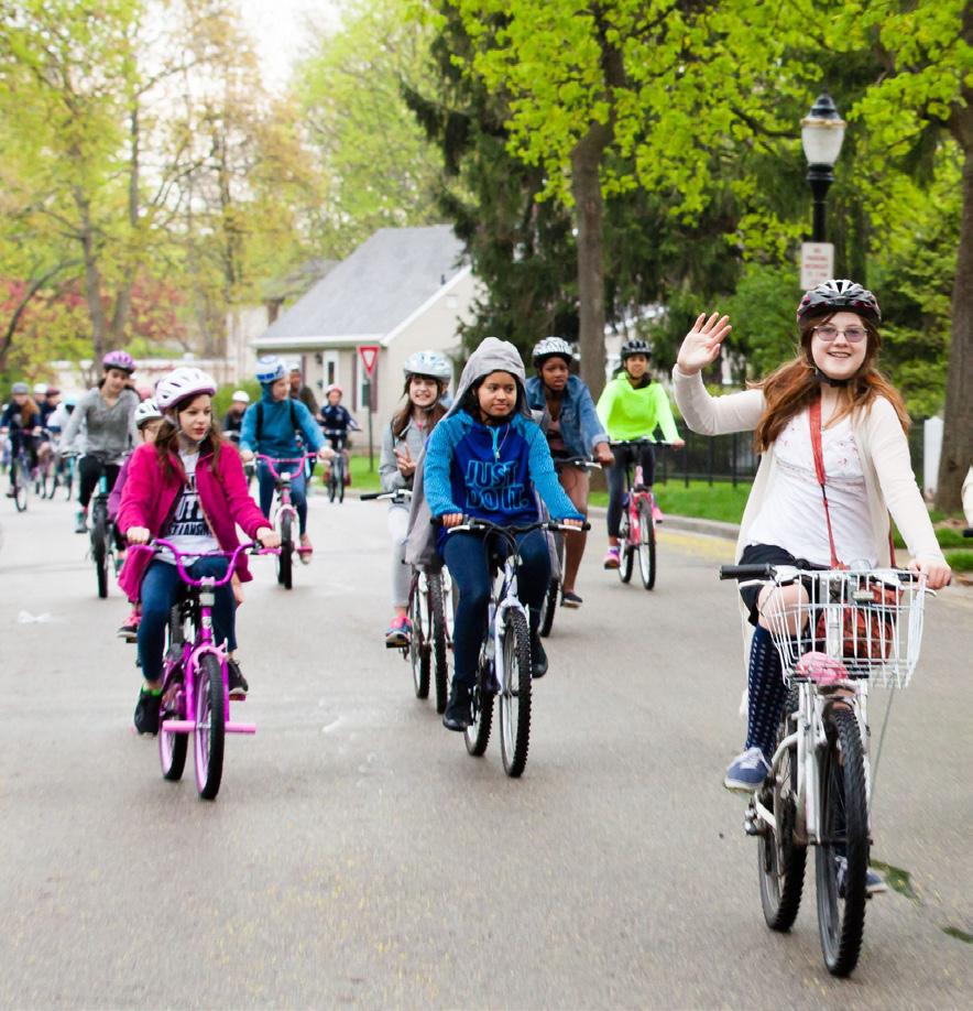
M3-A9. Become a designated Bicycle Friendly Community by the League of American Bicyclists. To further foster a culture of active transportation, Oxford can apply to the League of American Bicyclists’ Bicycle Friendly Community program. This national program recognizes cities, states, businesses, and universities that promote bicycling as a means of transportation, recreation, and lifestyle. This program also provides a continuing roadmap to improving conditions for bicycling in a community. The building blocks of this program include engineering, education, enforcement, evaluation, and encouragement.
M3-A10. Encourage Mile Square student renters to utilize long-term parking facilities on campus. If parking minimums are reduced in the Mile Square (as suggested in M3-A6), it will be important to properly manage parking in this area. The ample long-term parking facilities on campus may be a good option for students who live nearby in the Mile Square to use for parking if on-street parking becomes more in-demand.
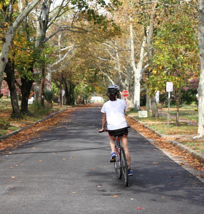 Residential Street (credit: Strong Towns)
Sidewalk Curb Ramp (credit: United Spinal Assn.)
M3-A11. Construct or retrofit transportation infrastructure to meet standards in the Americans with Disabilities Act. The City of Oxford’s ADA Transition Plan outlines two methods it will employ for constructing or retrofitting transportation infrastructure to current ADA standards. The first method is through scheduled street and utility improvement projects. The second method is through specific sidewalk and ADA accessibility improvement projects identified on a case-by-case basis. Both of these methods can involve incorporating accessible pedestrian design features as part of capital improvement projects.
M4. Ensure parking facilities Uptown are adequate and effective in meeting demand.
M4-A1. Explore opportunities for shared parking agreements to boost available parking supply when needed. Shared parking is a tool for neighboring property owners to share their parking lots to reduce the overall number of parking spaces needed on each property. Typically, shared parking is managed through contractual agreements between property owners or through the creation of a parking management district. Shared parking works best between complementary land uses—for example, between an office, which primarily utilizes a parking lot during weekday working hours, and a bar or restaurant, which utilizes a parking lot in the evening and on weekends.
M4-A2. Explore park and shuttle opportunities. Park and ride shuttles are often used for special events and festivals. This could be a good option to create access for residents who don’t drive, like older adults and children. Additionally, this can be used for events that are expected to generate large audiences to reduce congestion or traffic impacts.
M4-A3. Explore the feasibility of a parking authority or management entity. A parking authority or parking management district can be a tool to efficiently manage public parking. This kind of solution should be evaluated for its potential application and effectiveness in Oxford. A case study of an example parking authority can be found to the right.
M4-A4. Determine need and plan for long-term parking solutions. Conducting a study of Oxford’s parking, especially Uptown, could be an opportunity to identify challenges related to parking supply and demand. From this information, a plan can be developed to address any parking challenges.
M4-A5. Create a plan for replacement of surface parking with structured parking. Surface parking lots in Uptown or the Mile Square are not the highest and best use of the land. Public or private investments in structured parking can provide needed parking spots in a concentrated area, while unlocking the potential for new development on old surface parking lots. The Uptown Parking Garage, which is owned and managed by the City of Oxford, is an example of this type of parking solution.
The Lancaster Parking Authority is over fifty years old. As a unit of the city they can acquire, construct, improve, and maintain parking projects; conduct research related to parking problems; establish a permanent, coordinated system of parking facilities; borrow money; and issue bonds.
The authority oversees nine parking lots and garages and 946 meters throughout the city. They set the rates for hourly parking and manage the ParkMobile app and parking meter stations. Parking authorities can have the added benefit of taking responsibilities from other local government departments. In Lancaster, citizens can pay parking tickets on their online website rather than through the police department.
Having a parking authority allows the city to think comprehensively about their parking. The Lancaster Parking Authority has done three strategic plans, their latest being for 2022-2025. Some of their goals are increased customer service and customer safety; moving customers towards online payments and parking app usage; and more environmentally responsible usage of natural resources.
This planning process revealed that housing is a top priority for the community. Community members voiced concerns about limited housing supply, rising housing costs, and lack of supportive housing for vulnerable populations. The planning team even heard anecdotes describing the difficulties of talent retention and attraction to Oxford due to the lack of available housing options.
Housing can be a challenging subject for communities to address as it is heavily driven by market forces, federal government decisions, and shifting living preferences. Housing affordability and attainability is also a regional challenge. That being said, there are a number of tools and strategies Oxford can explore to ensure that everyone has access to housing that is safe, affordable for them, and fits their lifestyle and needs.
Oxford’s housing market is also a unique one compared to many cities due to the large student population who place a high demand on rental housing during the school year.
This chapter includes analysis, including findings from the recently completed 2020 Housing Needs Assessment. Following that is a list of recommendations that seek to address housing diversity, affordability, attainability, senior housing, student housing needs, and other housing market dynamics.
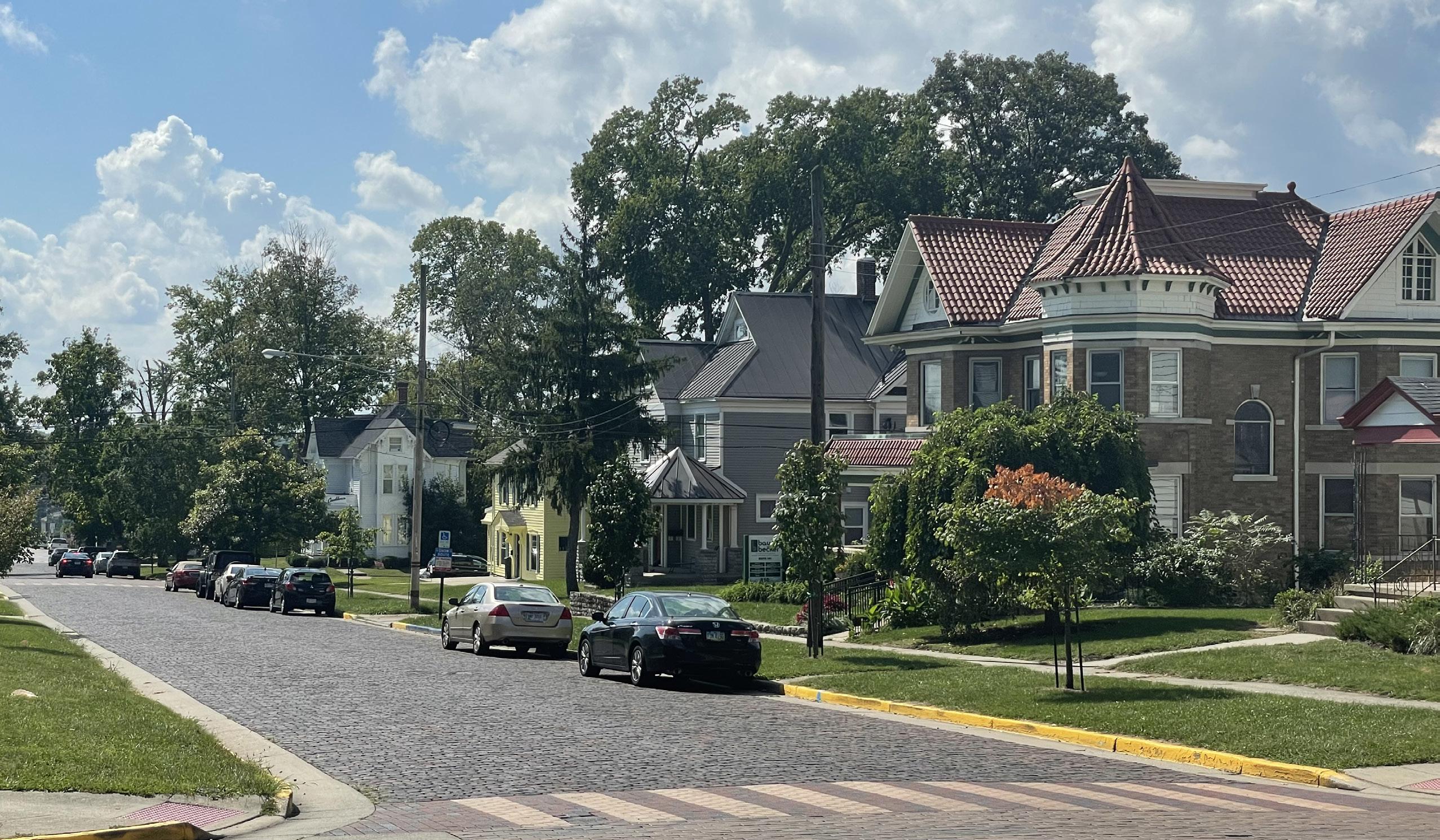
Housing options for different income groups should be varied
“ “
Encourage nonstudent housing in Mile Square
“ “
Homeless and transient people need some options
“
In 2020, the City of Oxford completed a Housing Needs Assessment given changing demographic and employment characteristics. The assessment looked at both for-sale and rental housing to identify housing needs by affordability and tenure. The following points summarize the major findings from this study.
• Oxford is expected to experience renter and owner household growth over the next few years that will require a steady introduction of new residential units to keep pace with the growing housing demand.
• There is limited availability among existing nonstudent multifamily rental housing stock and for-sale housing stock in Oxford. This is particularly true of subsidized affordable rental product, which is operating at high occupancy levels.
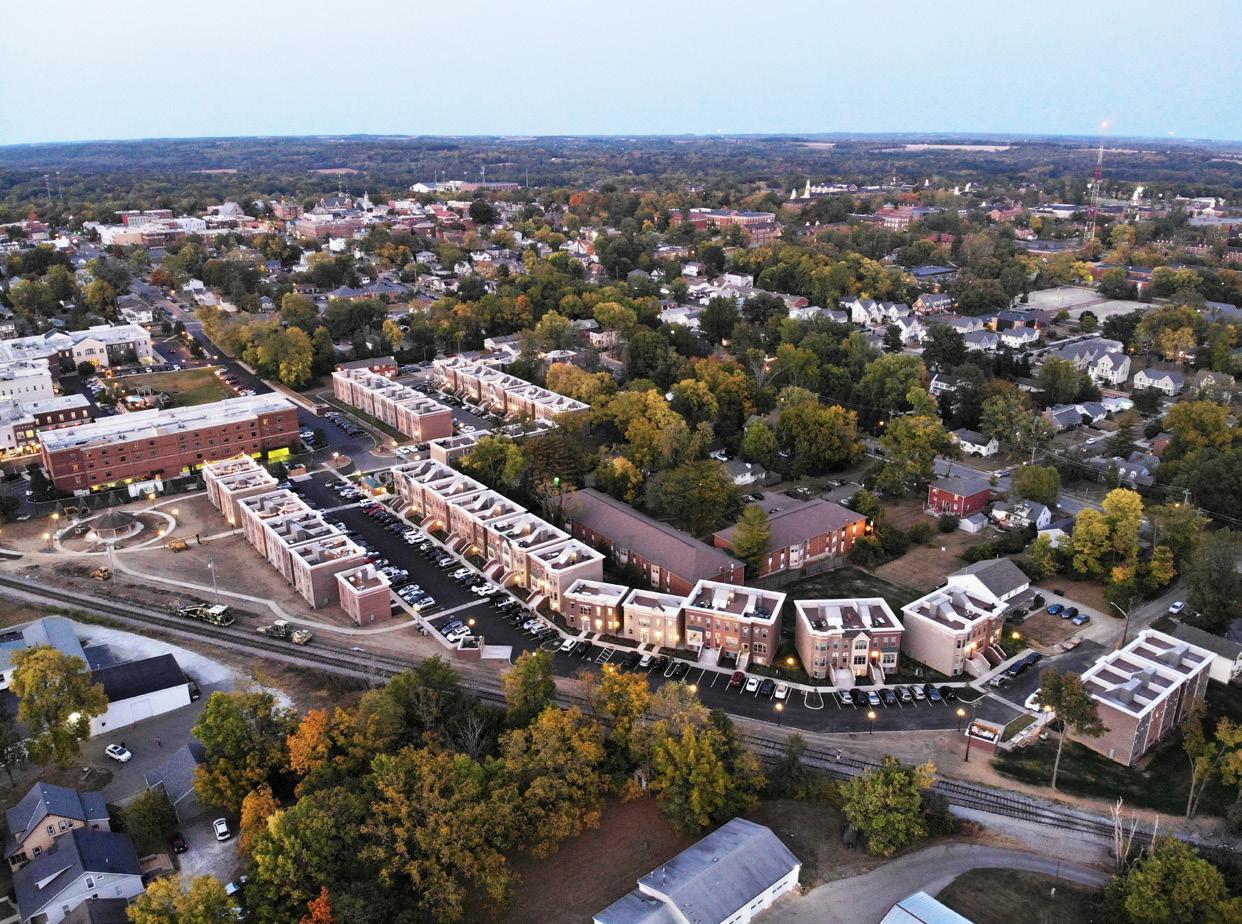
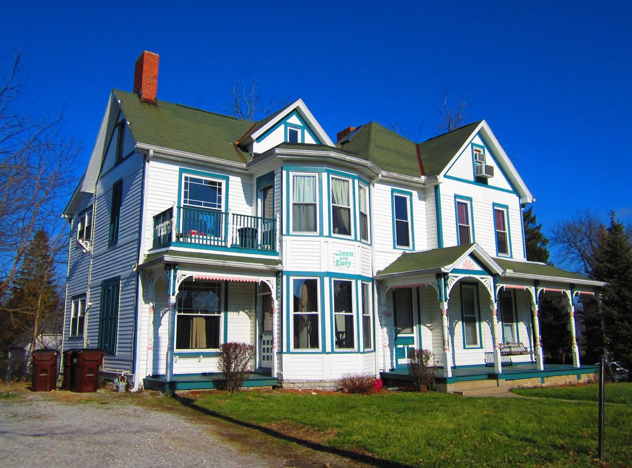
• A majority of Oxford renters and more than one in ten homeowners are considered housing cost burdened meaning they pay more than 30% of their income toward housing. This is likely reflective of the large proportion of college students in Oxford who have little or no income.
Some of the housing need identified in the assessment as mentioned above may be met by the 250+ housing units that are in the pipeline—those that are proposed or under construction. These include the following proposed housing developments:
Housing Units in the Pipeline – 205 units
• South Forest Edge Section 1 – 36 single-family landominium units
• South Forest Edge Section 2 – 21 single-family lots
• Heron Pond – 15 detached single-family landominium units
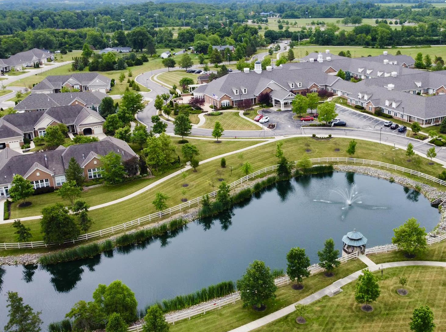
• South Farm Section IV – 25 single-family residential lots
• Owl’s Landing – 86 dwelling units
• Caroline Harrison Building – 22 apartments
• Episcopal Retirement Services (ERS) Housing Development – 42-unit affordable senior housing community
Mile Square Student Housing Gaslight Avenue Townhomes (credit: Rent College Pads)As seen in the chart to the right, single-family homes are the predominant housing type in Oxford. Approximately three fourths of all single-family homes are owner-occupied, the majority of which are situated in the western and northern portions of the city. A heavy concentration of single-family homes for rent exists in the Mile Square, primarily to serve off-campus students. The most affordable stand-alone housing option in Oxford are manufactured or mobile homes, which can be found in Oxford’s Miami Mobile Home Park in proximity to College Corner Pike (US 27). For attached units, the rental percentage increases substantially, comprising a significant portion of Oxford’s 4,500+ rental units. A mix of multi-family complexes exist in Oxford, varying between those that are student-oriented and those catering more to permanent residents.
The 2020 Housing Needs Assessment identified a critical gap in rental housing priced at less than $1,000 per month. In addition, there is a need for higher-end rental housing and new homes for sale priced above $260k. An opportunity may exist to produce a greater abundance of missing middle housing, most commonly defined as a variation of unit types (such as duplexes and row houses) falling between the lighter intensity of traditional single-family homes and the grander scale of multi-unit buildings and complexes.
Housing Units by Type
Source: City of Oxford (2021)
Source: Oxford, Ohio 2020 Housing Needs Assessment
One-Bedroom $999/mo. $550/mo. N/A $750/mo. N/A
Two-Bedroom $1,398/mo. $700/mo. $2,350/mo. $867/mo. $114,200
Three-Bedroom $1,572/mo. $950/mo. $3,240/mo. $954/mo. $224,900
Four-Bedroom $2,036/mo. $1,038/mo. $3,515/mo. $1,611/mo. $277,500
Source: Oxford, Ohio 2020 Housing Needs Assessment
Housing Units by Occupancy
Source: ESRI Business Analyst (2021)
Gross Rent as Percentage of Household Income
Source: ACS 5-Year Estimate (2020)
H1. Expand housing options for all life stages.
H1-A1. Update zoning regulations to increase density and promote a diversity of residential housing types and living arrangements. Conventional zoning often results in zoning districts that restrict the types of housing allowed. Oxford’s current Zoning Code is no different. Oxford’s residential districts are distinguished by the densities and housing types permitted. For example, in the R-1A, R-1B, and R-1MS, the only permitted residential use is single-family dwellings. These are the dominant residential zoning districts in Oxford. The City should review the Zoning Code to determine where it would be appropriate to expand the diversity of permitted residential uses, allow for different occupancy types, and increase allowable residential densities. This can help to fill the gap of missing middle housing, as discussed on p. 78. All zoning districts should be reviewed in this effort.
H1-A2. Update zoning regulations to expand allowance for accessory dwelling units (ADUs). Accessory dwelling units (ADUs) are secondary, smaller dwelling units located on the same lot as a single-family house. These come in a variety of forms, including apartments located over a garage, converted garages into apartments, a cottage or tiny house on a foundation in a backyard (sometimes referred to as a “granny flat”), a basement apartment, and in-law suites that are located on the interior of the primary residence. ADUs create opportunities for additional housing using existing lots and can be used as housing for aging relatives, apartment rentals, and short-term rentals. This type of housing unit is also more sustainable for communities as it does not require additional utilities or infrastructure since they are embedded in existing neighborhoods. Currently, ADUs are only allowed as a conditional use in the R-3MS District, situated close to campus. Oxford would need to update its Zoning Code to allow for ADUs by-right and/or expand allowance of ADUs in other zoning districts. Often, cities will include dimensional and design standards for ADUs to ensure neighborhood compatibility.
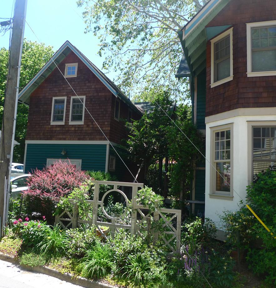
H1-A3. Identify areas of town which are appropriate for increased density allowance, housing diversity, and accessory dwelling units (ADUs). Before Oxford updates its Zoning Code per the recommendations above (H1-A1 and H1-A2), it is important to determine the districts where these housing changes would be most appropriate and would meet the needs identified in the 2020 Housing Needs Assessment.
H1-A4. Leverage land and other tangible assets to address housing supply gaps by boosting inventory. In working to expand and diversify housing options in Oxford, the City and other public agencies and major institutions can utilize their real estate assets to encourage new housing developments. One recent example of this is when the City approved the purchase of a 2.1-acre parcel on Hester Road, which they are leasing to the Center for Community Revitalization (CCR), a non-profit organization, over the course of a twenty-year lease. The CCR plans to use the land to develop a twelve unit cottage home community to provide affordable rental units for low-income families.
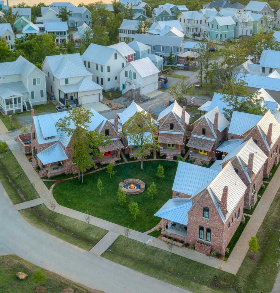
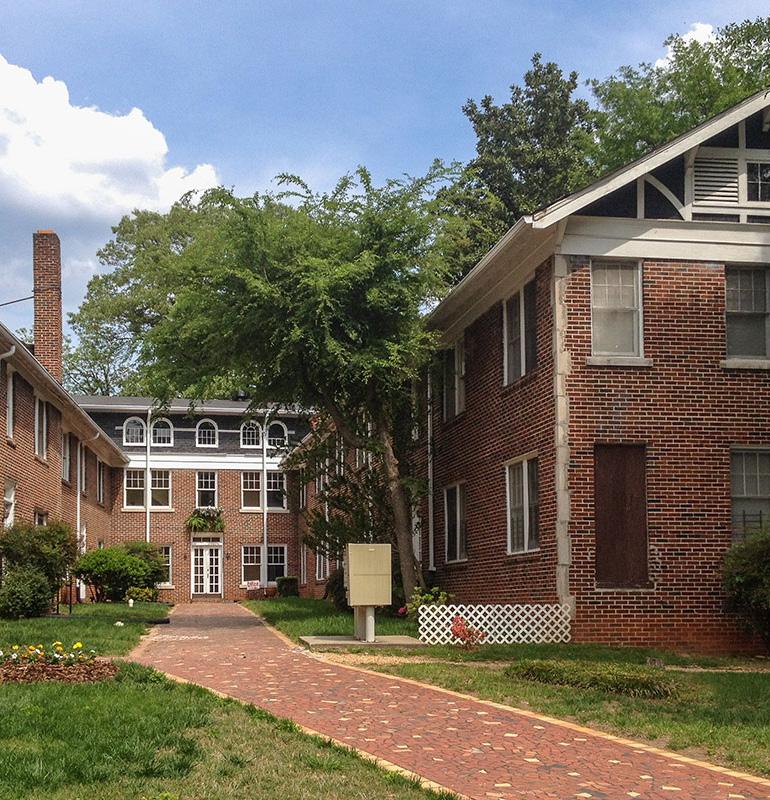 Cottage Homes (credit: Carlton Landing)
Cottage Court (credit: Missing Middle Housing)
H1-A5. Support developments and programs addressing supportive and transitional housing. The Housing Needs Assessment revealed that Oxford has a population of more than 900 people who fall into a priority group category for housing and who have greater difficulty securing safe, stable, and/or affordable housing. Priority groups include people experiencing homelessness, people with substance abuse disorders, and people with disabilities. Evidence-based housing solutions like supportive and/or transitional housing are needed to provide safety and stability for people who fall into these categories. This type of housing can include emergency shelters, temporary residences with associated social services, and permanent supportive housing to help people manage serious or chronic issues. These housing types could be coordinated with non-profits and social service agencies working in Oxford, Butler County, and the greater region.
H1-A6. Reestablish a homeownership program to incentivize and assist University faculty and staff to secure housing in Oxford. Findings from housing analysis as well as feedback received from Miami University stakeholders during this planning process revealed that many University faculty and staff do not live in Oxford due to the restrictive housing market. Fixing this issue requires some intervention in the housing market, which could include the acquisition of strategic housing properties to set aside for faculty and staff use. Often, these types of housing programs are intended to increase the level of faculty and staff homeownership near the University. Increasing homeownership of these groups is a major opportunity for Oxford and would generate other community benefits, including a year-round tax base, increased community diversity, and stronger sense of community. Many universities have explored similar strategies. One such example is summarized in the case study box to the right.
H1-A7. Support opportunities to create housing dedicated to University alumni. Another housing opportunity associated with Miami University would be the development of a university-based retirement community. These are senior living communities that are located on or in close proximity to a college campus with a full continuum of care for older adults and with formalized programming, like lifelong learning opportunities and activities. Often, residents of these communities will have an affiliation with the university, including alumni and former faculty and staff. This type of development would be of value to Oxford, which has shown a dedicated commitment to being an age-friendly and multi-generational community.
H1-A8. Recognize and support the valuable service assisted living and senior living developments provide to the community. Oxford is a member of the AARP Network of Age-Friendly Communities. As such, Oxford is committed to become a more livable, age-friendly city that supports aging in place. Assisted living and senior living housing developments serve essential functions in fostering these goals. The Knolls of Oxford is one such development that is a continuing care retirement community home to approximately 250 residents ages 60+. It offers independent living, assisted living, rehabilitative care, memory support, and long-term care.
The Brown to Brown Program through Brown University provides prospective and existing full-time faculty and staff the opportunity to purchase Brown-owned residential properties. The high housing demand in east-side Providence spurred the University to create the program. Brown has positioned their unused and underused housing stock, already better suited for single-family housing, to become neighborhood enhancements and assets for the university.
Participants can buy housing at 80% of the market appraisal value commissioned by the University. In return, Brown can repurchase these properties in the future, if needed for University purposes or should the participant wish to sell, at 80% of the then-current market appraisal. Participants must also seek University approval for capital and landscape improvements and are responsible for maintaining the property.
To date, the University has sold eighteen single-family houses and one duplex in the College Hill area. The conversion of these oncenonprofit owned units to privately owned residences has expanded the City of Providence tax base.
Source: Brown University
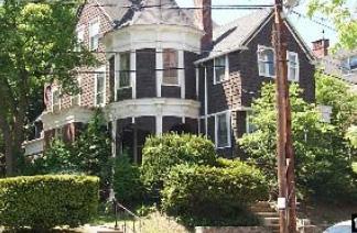
H2. Ensure housing affordability and attainability for all income levels.
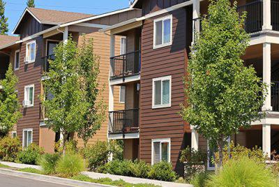
H2-A1. Activate a non-profit entity devoted to expanding affordable housing opportunities. An independent non-profit organization dedicated to affordable housing could oversee property acquisition, development, and management. This organization would ideally be governed by a board of officials who could work alongside City officials to make policy decisions and direct efforts. The City in conjunction with the Housing Advisory Committee (HAC) has begun exploring this opportunity and would help to fund a paid position within the non-profit organization for a defined period of time.
H2-A2. Create an ordinance to outlaw housing discrimination based on source of income. According to the American Bar Association, source of income discrimination refers to the “practice of refusing to rent to a housing applicant because of that person’s lawful form of income”. This type of discrimination by private landlords is not currently prohibited under the Federal Fair Housing Act of 1968 or under Ohio fair housing laws. This type of housing discrimination disproportionately affects renters of color, women, and people with disabilities. A local ordinance to address source of income discrimination is also foundational to the success of the Housing Choice Voucher program, which is described in more detail in the following recommendation (H2-A3).
H2-A3. Promote the Housing Choice Voucher Program. The Housing Choice Voucher program assists low-income households to afford housing in the private housing market, not just publicly subsidized housing projects. The program is overseen by the U.S. Department of Housing and Urban Development (HUD) and the vouchers are administered locally by public housing agencies. In this case, vouchers used in Oxford are distributed by the Butler Metropolitan Housing Authority (BMHA). Housing vouchers are also a guaranteed form of income for landlords because subsidies are paid directly to the landlord by BMHA on behalf of the eligible household. This program and its benefits should be promoted to landlords around Oxford so families who rely on the program can seek housing in the community without fear of discrimination.
H2-A4. Explore ways to incentivize the creation and maintenance of housing types and arrangements that fulfill community needs. To ensure a more balanced and inclusionary housing market, the City could develop or codify an incentive structure to support the creation of additional unit types that are in short supply. Possible incentives could include tax abatements, fee reductions, minimum parking reductions, density bonuses, or expedited review processes. Efforts may also entail partnerships with non-profit entities to establish more affordable housing stock. Universal design features, which are often lacking in the existing housing stock, could also be incentivized.
CountyCorp | Montgomery County, OH
CountyCorp is a nonprofit development corporation in Montgomery County that opened in 1980. They facilitate the sale of single-family homes to Dayton residents as well as developing and rehabilitating existing multi-family developments. CountyCorp is a recognized Community Housing Development Organization. Past projects include the first rehabilitation of an existing 40-unit apartment complex with geothermal heating and cooling. They also completed a 40-unit apartment rehabilitation and redevelopment.
Long-term affordability is a goal for the nonprofit. They develop energy efficient, maintenance-free housing, which helps households save money on utilities and maintenance. They own several single-family and lowdensity multi-family units. Rental properties have gross household income limits that are below either 50% or 60% of the area median income.
Their Path to Homeownership (PTHO) program provides new and renovated houses to tornado survivors. To qualify, buyers must be at or below 120% of the Area Median Income. CountyCorp partners with the HomeOwnership Center of Greater Dayton on this program.
Source: CountyCorp
H2-A5. Partner with nonprofit organization(s) to provide education, counseling, and financial assistance to homebuyers or renters. A number of organizations and government agencies provide homebuyer and renter education and resources. The City can work with these groups to provide workshops or other educational opportunities to renters and homebuyers in Oxford.
H3. Protect existing naturally occurring affordable housing (NOAH).
H3-A1. Identify existing NOAH areas and developments. Naturally occurring affordable housing (NOAH) represents existing multifamily rental properties that are affordable without public subsidies. NOAH comprises the largest supply of affordable units, estimated at 75% of all affordable housing units in the U.S., but it is not well understood or tracked. The City should study this concept locally to identify where in Oxford NOAH exists. Often, manufactured home communities and older apartment complexes fall into this category as they are not able to acquire market-rate rents like newer housing developments.
H3-A2. Promote retention of existing NOAH developments where conditions are safe for occupancy. Once identified, the City should work to preserve existing NOAH units, because the cost of preserving is much lower than the cost of building new affordable housing units. Despite this, a number of factors threaten the stability of NOAH, including frequent ownership turnover, lack of investment in maintenance and property management, and the fact that NOAH is usually older housing stock that is often subject to redevelopment.
H3-A3. Evaluate the impacts land use decisions can have on existing NOAH. Given its instability, NOAH may be negatively impacted by surrounding land use changes. The City should be mindful of this with any development proposal or land use change for properties adjacent to existing NOAH.
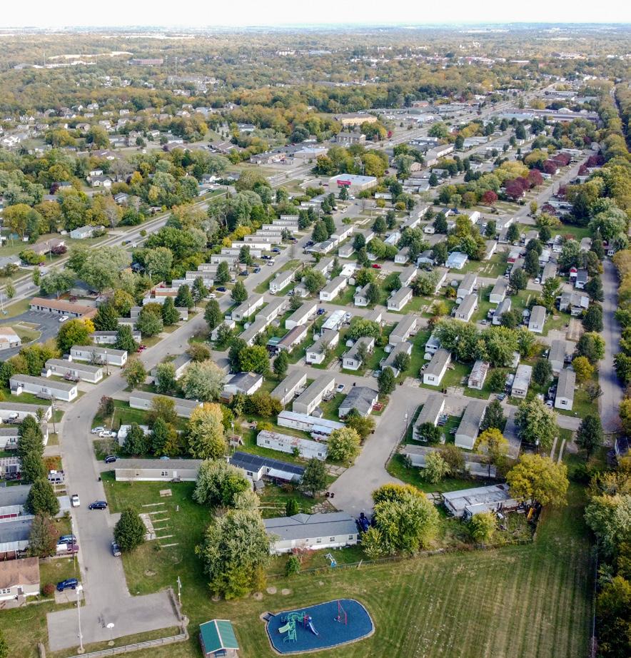
H4. Maintain an adequate capacity of student housing. H4-A1. Coordinate with University partners in monitoring anticipated changes in student housing demand. The City of Oxford should regularly coordinate with Miami University to monitor the student population and how changing enrollment patterns and University decisions might affect the local housing market.
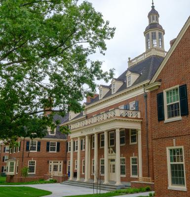
H4-A2. Identify areas of town which are appropriate to accommodate additional student housing. As explored in a previous recommendation in the Land Use & Development section of this chapter (L1-A2), community feedback during this planning process indicated that residents would like to see the Mile Square achieve more of a balance between student rentals and owner-occupied housing. To accommodate this shift in the Mile Square housing market, additional student housing would need to be provided elsewhere in Oxford, preferably within walking distance to campus. Corridors that could accommodate increased building heights and student housing should be identified to plan for that potential outcome.
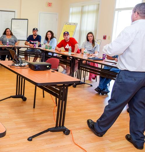 Homebuyer Class (credit: NeighborWorks)
Miami Manufactured Home Park McCracken Hall (credit: Miami U.)
Oxford’s local economy is built on its position as a college town, which is a major community asset but also poses unique challenges being so dependent on a single employer. Additionally, Oxford’s local businesses are dependent on the student population who live in Oxford during the school year. During this process, the community expressed a desire for Oxford to have more of a year-round and sustainable local economy.
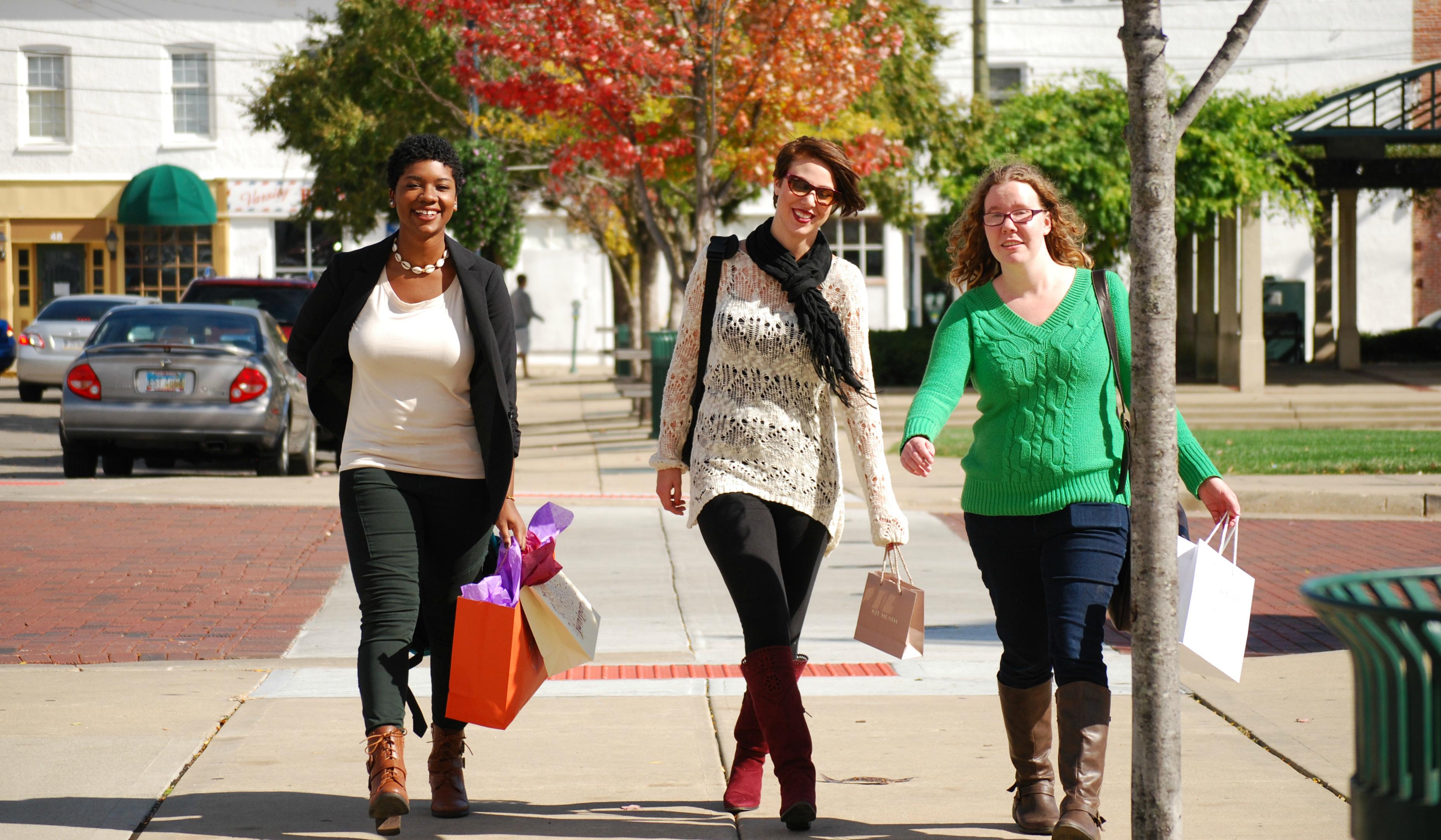
Changes in the local economy spurred by the COVID-19 pandemic highlighted the importance of this topic and the need to emphasize fiscal sustainability for the City.
This section outlines existing economic conditions in Oxford, including competitive economic advantages, employment sectors, employee commute patterns, local employment nodes, and City finances.
Following that, this section sets forth objective, policy, and action recommendations that would advance Oxford’s goal of cultivating a thriving and resilient year-round economy. These recommendations include how Oxford can attract new businesses, diversify the economy, encourage entrepreneurship, support existing businesses, attract more visitors, and stay fiscally healthy.
Have
Need
Community comments
People are leaving due to lack of jobs to support families and homes here
more people paying income tax in the city
more festivals that are unique to draw people to Oxford
Oxford’s economy has several competitive advantages that distinguish it from other communities.
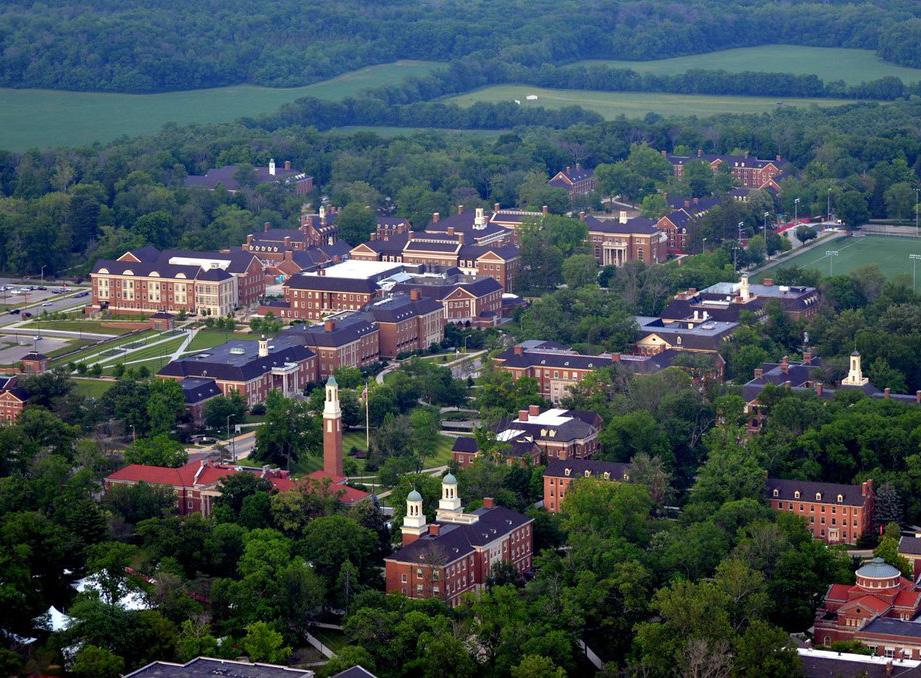
Location – Oxford lies in southwestern Ohio, placing it at the center of three major markets: Indianapolis, Columbus, and Cincinnati. This region is also known for its ‘second-morning market’ where goods can be transported to 130 million people in a 600-mile radius. Oxford is also less than a day’s drive away from other major cities like Chicago, Louisville, Cleveland, Pittsburgh, and St. Louis.
Global Talent Hub – Oxford is home to Miami University, one of the top-ranking public universities in the country. Every year, Miami University awards more than 4,000 degrees to talented graduates ready to enter the workforce. Miami’s Farmer School of Business is consistently recognized as one of the best business schools in the country. Miami is also a globally recognized institution and attracts students, faculty, and staff from across the country and the world to Oxford.
Quality of Life – Oxford cherishes its small-town feeling while enjoying amenities that would typically only be found in a larger city, like arts and cultural attractions, thriving local businesses, and sporting events. Oxford also boasts a regional healthcare hub, McCullough Hyde Memorial Hospital, which provides care for the greater Oxford region. The Oxford community also provides a safe, supportive, and enriching environment in which to raise a family.
The charts and maps on the following pages help to paint a picture about how Oxford’s economy functions and performs.
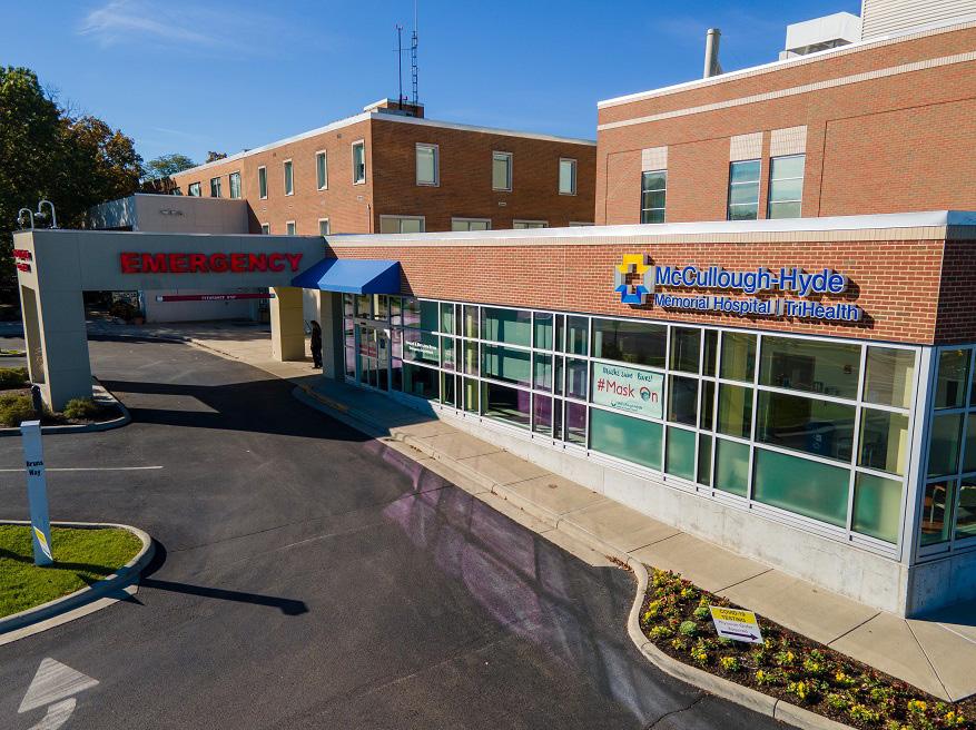 Uptown Local Businesses (credit: Enjoy Oxford)
Miami University (credit: Teresa Langenkamp)
The bar graph below breaks down Oxford’s employment by economic sector. This essentially observes all Oxford employees, no matter where they may live. As would be expected, a large portion of the City’s jobs are concentrated in educational services due to the presence of Miami University, as well as health care work associated with McCullough-Hyde Memorial Hospital and other providers. There is also a significant tertiary sector with jobs in food, accommodations, and retail, made available to serve university students, employees, residents, and visitors. Miami is Oxford’s largest employer with a total of 4,395 full- and part-time employees in 2019.
The chart to the right describes how many people are commuting into or out of Oxford for work. The number of people commuting into Oxford is nearly double that of people who live in Oxford and commute to another city for work. Only 2,057 people live and work in Oxford. These patterns are likely due to a number of factors, with limited housing supply in Oxford being a significant one.
Source: Miami University, US Census Bureau, LEHD (2019)
As described previously, Miami University is Oxford’s largest employer, so when analyzing job concentration within Oxford, the highest concentration can be found on-campus. Other job hotspots include McCullough-Hyde Memorial Hospital, public schools, Wild Berry, Schneider Electric, and the local shopping centers. Uptown has a concentration of smaller circles, representing the local businesses that are located there. All of these other nodes, while not as large as the one on Miami University’s campus are still significant and have a positive impact on the local economy. Many of these jobs, however, are still dependent on the Miami University student population to sustain them.
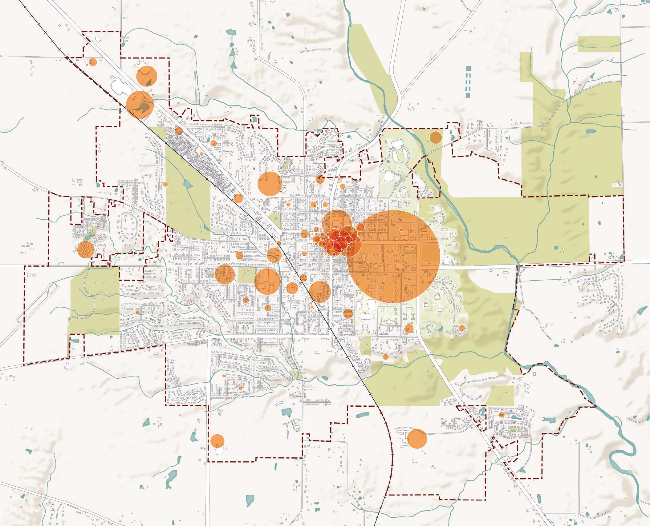
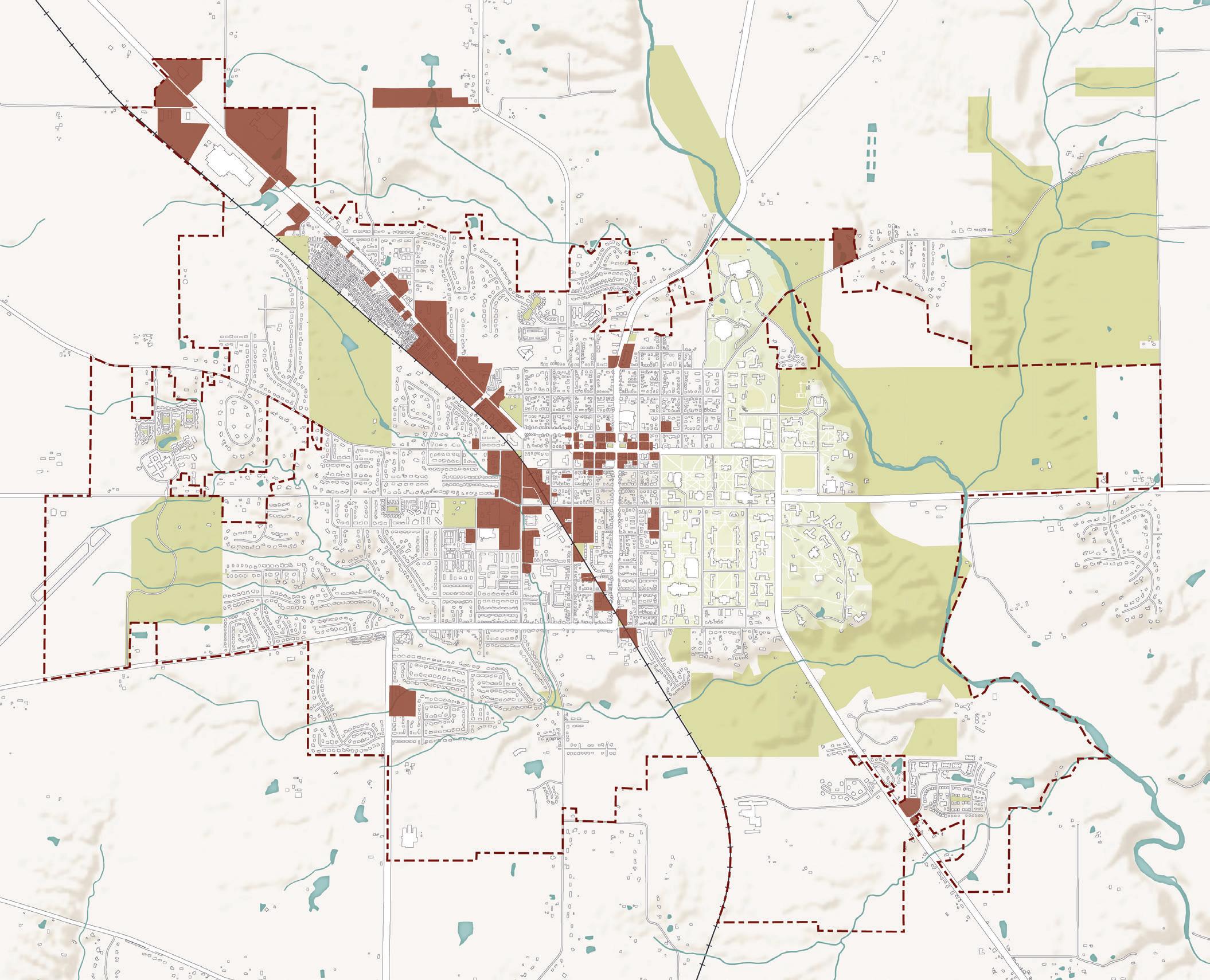
Several distinctive nodes of commercial and retail uses can currently be found around Oxford. Generally, these areas are Uptown, Stewart Square, the South Locust Street corridor, and the College Corner Pike corridor. Uptown is the local destination retail district, with boutiques, bars, and restaurants. Stewart Square is a local hub for some convenience retail as well as local businesses and a hotel. The South Locust Street corridor contains mostly auto-oriented, big box, and convenience retail, and the College Corner Pike corridor is very auto-oriented with drive-thru restaurants, convenience retail, some service businesses, and hotels/motels.
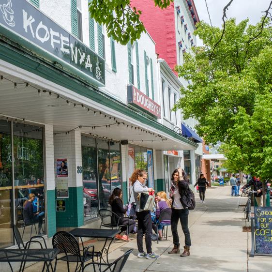
Fiscal Impacts of Land Use
Balancing land uses is critical for the City of Oxford’s fiscal sustainability and its ability to provide high quality services and amenities for the community. This is because in Ohio, municipal budgets are primarily funded through income taxes. These are payroll taxes collected from employees who work in Oxford. In recent years, Oxford has been awarded several grants, which have helped to bolster the City’s budget. Without these grants, income taxes would comprise an even larger percentage of revenues. The City’s dependence on income taxes and the dominance of Miami University within the local economy means that the fiscal health of the City is entwined with Miami University. While this is not necessarily a bad position to be in, the City would be wise to pursue economic development and diversification more broadly to become more economically sustainable and resilient.
As demonstrated in the chart at the top right, 43% of the City’s revenues were derived from income taxes, with another 6% coming from a special income tax assessment specifically for fire & emergency medical services. While income taxes predominantly fund City operations and budgets, property taxes are primarily used to fund the Talawanda School District as well as other local and regional public entities.
These economic realities are also tied to land use, as residential land uses primarily generate property taxes and commercial or employmentbased land uses generate income taxes. When considering fiscal impacts of land use, it is also pertinent to keep in mind not just how much the City receives from different land uses, but also how much the City spends to service different land uses through programming, utilities, public safety, and other public services. In this regard, residential land uses typically place high demands on these services, resulting in lower net fiscal impacts on the City’s budget than employment-based land uses. This is not to say that residential land uses are invaluable to a community; rather, the City needs to be mindful of the balance of land uses and how that relates to public revenues and expenditures.
Governmental Activities Revenue
Source: City of Oxford (2020)
6% 5% 4%
11%
$19.9 M in City
Income taxes - general Operating grants 13%
Charges for services
Property & other taxes
Income taxes - fire & EMS
Property Taxes Distribution
Source: City of Oxford (2020)
Lane Public Library Metro Parks Oxford Township
E1. Attract new businesses and employment opportunities to diversify the local economy.
E1-A1. Foster a culture of service excellence in attracting new businesses and assisting new business startups. City staff interact with new businesses during the development review and permitting processes. To build Oxford’s reputation as a great place to do business, the City can foster a culture where staff act swiftly and go above and beyond to make the process of opening a new business in Oxford a simple and streamlined one. Many of the actions included in this section would help the City to realize this policy.
E1-A2. Conduct a market study to determine Oxford’s key industries and sectors that can grow jobs. A market study can help Oxford identify current and future market needs and surpluses within its geography. This study should help to demonstrate any unmet local and regional demand for retail, office, industries, and services.
E1-A3. Develop an economic development strategic plan for Oxford. An economic development strategic plan is a focused plan to guide bold and innovative ideas that the City can implement to foster a strong local economy and employment base. An economic development strategic plan should include strategies for economic growth, business retention, business attraction, and fiscal sustainability. This should include actionable programs, policies, and financial decisions the City should implement. The City may want to focus on attracting and supporting businesses which remain open year round and can thus better serve permanent residents.
E1-A4. Develop a tax abatement program or other form of financial assistance for businesses that leads to high quality job growth. Tax incentives can include property tax abatements, income tax incentives, and tax increment financing (TIF) districts. These are popular economic tools used by local governments to attract and retain businesses. Other financial assistance programs could include grants, permit fee reductions, workforce development funding, and utility rebates. The creation of an economic development strategic plan (as recommended in E1-A3) should identify which type of tax incentive or financial assistance programs would have the best outcomes for Oxford. Regardless of the type, any financial assistance should have measurable benefits for Oxford, including job creation.
E1-A5. Explore job creation as a result of Advanced Air Mobility programming and research. The State of Ohio recently published the nation’s first Advanced Air Mobility (AAM) Framework, building on Ohio’s position as a aviation leader. AAM involves the use of emerging technologies to move people and goods between places that are not usually served by surface transportation or existing aviation. The framework identifies three potential uses of AAM in Ohio, which include: (1) cargo/freight delivery, (2) regional air mobility, and (3) emergency services. With Oxford’s position as an innovative college town and the presence of a local airport comes the opportunity to embrace these new ideas and technology to become a hub for AAM in the state.

 High Tech Jobs (credit: Job Vite)
Miami U. Airport
E2. Encourage entrepreneurship, innovation, and start-up businesses.

E2-A1. Support business startups and local entrepreneurship. According to the Small Business Administration (SBA), small businesses are the backbone of the U.S. economy, accounting for two-thirds of new net jobs and 44% of national economic activity. Additionally, small businesses can positively impact the local economy by creating local jobs, paying local taxes, and using other local businesses for services. The City should commit to supporting local businesses through programs, financial incentives, and technical assistance.
E2-A2. Encourage university spin-offs. University spin-offs present an opportunity for local economic development by way of higher education and research. Spin-offs are businesses whose product or service develops from technology or research generated in a university setting. Sometimes spin-offs include equity support from the parent university. If based in Oxford, new university spin-offs could help to generate local jobs and economic impact.
E2-A3. Support the development of the College@Elm Innovation and Entrepreneurship Center. Miami University and the City of Oxford are currently collaborating on the transformation of the Miami University Elm Street Building into a hub for innovation and creativity. This project would be the catalyst for a broader vision to create a corridor of infrastructure where technology, art, and green space co-exist and thrive together. This project also exemplifies the public-private partnership model for economic development that makes communities like Oxford successful. The City and University should continue this strong partnership to generate economic growth in the community.
E2-A4. Identify potential locations for scalable commercial shell space. Shell spaces are buildings or suites within a building that have basic elements, like floors, walls, windows, and a roof, but minimal interior improvements. Typically, these are constructed before a tenant for the space has been identified. These spaces provide flexibility for businesses seeking to locate in Oxford to configure the space to meet their needs. These types of spaces can be a tool to attract businesses to Oxford because the space is readily available and can be customized depending on the industry. Given the more volatile office market since the COVID-19 pandemic, special care should be taken to identify locations that would be attractive to a desired business and to create a building that adds to the character of Oxford.
 Startup Company (credit: Scott Kissell)
College@Elm Building (credit: Miami U.)
Commercial Shell Space (credit: Aquila Commercial)
E3. Support existing local businesses.
E3-A1. Establish a Special Assessment District for the Uptown commercial district. A Special Assessment District exists in a defined grouping of properties that would benefit from additional improvement or services. It is a method to finance public improvements in a defined geography. A district can be created by petition of the property owners, or it can be initiated by a local jurisdiction. In Uptown, the creation of a district would help to fund physical infrastructure improvements, beautification, maintenance, and other similar efforts.
E3-A2. Designate a Small Business Advocate to provide technical assistance in an effort to better ensure business survival. This position could be a new or existing one within the City of Oxford organization, or an outside entity such as the Chamber of Commerce. A Small Business Advocate could assist small businesses to navigate city processes, connect them with resources, provide technical assistance, and introduce them to potential financial programs or incentives. The Small Business Advocate could also continue to foster relationships with local businesses after they open in Oxford to identify areas of opportunity or improvement for Oxford’s economy and business community. An example case study about a similar Small Business Advocate position can be found to the right.
E3-A3. Promote the Revolving Loan Fund to local businesses. Oxford’s Revolving Loan Fund (RLF) is used to provide loans below market interest rates to local businesses that need additional funding for growth, expansion, or renovation. The goal of this fund is to help Oxford businesses create and retain employment. The City and other partners should work to promote this program to eligible businesses.
E3-A4. Encourage a local business procurement program. The major institutions that exist in Oxford can have a positive impact on the local economy by utilizing local businesses for their procurement needs where possible.
The City of Dayton created the Small Business Advocate (SBA) position within their economic development department in 2015. This role is responsible for helping clients with the zoning and building permitting processes that was often said to be complicated and fraught with costly delays and unforeseen expenses. The advocate also serves as a link between other city permits that can affect area small businesses.
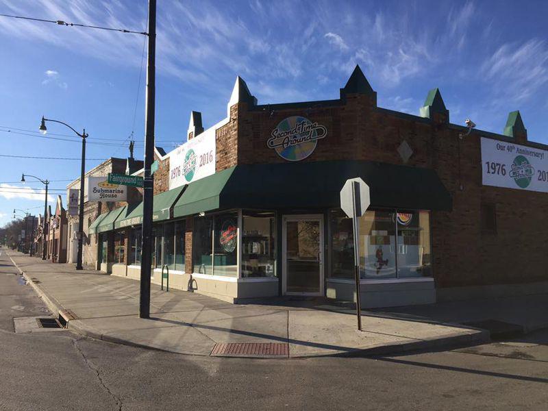
Small businesses are encouraged to schedule a pre-application meeting with the SBA before applying for a Certificate of Use and Occupancy. During these meetings owners can ask any questions and potentially avoid delays in the permit process. Other services provided by the SBA include reviewing plans for the appropriate code requirements, assistance in commercial property leases, and pre-application meetings for those putting on large festivals and special events.
By providing direction, technical assistance, and expertise, the Small Business Advocate is helping Dayton stay competitive with other cities and attract business investment.
E4. Attract visitors to Oxford year-round.
E4-A1. Create events and activities that drive economic impact. Events and festivals can have direct and indirect positive impacts on a local economy, especially when they drive tourism. Visitors to Oxford eat, shop, and/or stay overnight at a hotel in the city, which positively impacts the local economy. Additionally, events, especially unique ones that celebrate Oxford’s local culture, can create more awareness about Oxford as a destination and can attract people back to the city later.
E4-A2. Encourage creative placemaking for a more engaging community and visitor experience. Creative placemaking involves the integration of local arts and culture into community development. More information about creative placemaking can be found in the call-out box to the right. When applied, this tool can transform the physical, social, and economic qualities of a place. Increasingly, shifting demographics and preferences in living and working environments means that “place” matters more than ever. Specifically, unique, livable, high-quality places are at an advantage to attract visitors, residents, and workers. In a college town like Oxford, the quality of place is also a determining factor for prospective students and their families. Creative placemaking can be used in conjunction with the many other recommendations in this plan to foster a truly distinctive and engaging experience for community members and visitors, alike. The City should work with local partners and the greater community to uncover what makes Oxford special and to embody that in as many ways as possible.
E5. Sustain the fiscal health of the city.
E5-A1. Consider the tax benefits and other residual economic benefits when reviewing development proposals. It is vital for Oxford to connect land use and fiscal policy for a sustainable and resilient future. Additionally, focusing on fiscal health ensures that the City will have the resources to continue providing high quality public services for residents. To achieve this, Oxford can utilize tools like the Fiscal Impact Analysis Model created by Ohio-Kentucky-Indiana (OKI) Regional Council of Governments. This model was designed for local governments to provide a better understanding of the fiscal costs and benefits of land use or development proposals. Examples of potential costs could be infrastructure, utility, or public safety needs and examples of benefits could be anticipated revenues from property, income, hospitality, or other taxes.
Creative Placemaking (n.) : Creative placemaking involves “partners from public, private, non-profit, and community sectors” who “strategically shape the...character of a neighborhood, town, city, or region around arts and cultural activities.”
Creative placemaking fosters economic development by:
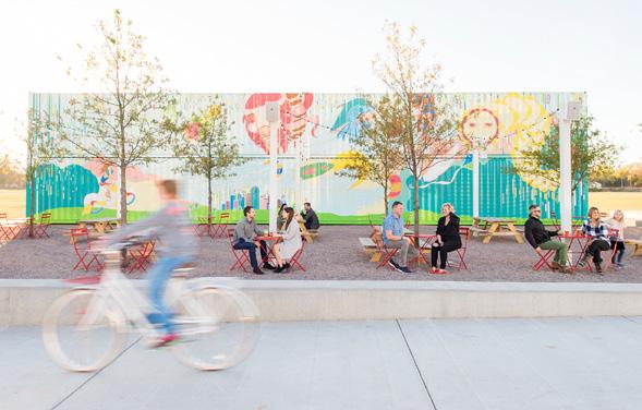
• Recirculating local spending
• Re-using vacant and underutilized land, buildings, and infrastructure
• Creating jobs in construction, local businesses, and cultural activity
• Expanding entrepreneurial ranks of artists and designers
• Training the next generation of cultural workers
• Attracting and retaining other non-arts-related businesses and skills
Source: National Endowment for the Arts

In its broadest sense, sustainability is about the ability to meet the needs of present generations without compromising the ability of future generations to meet their needs. This includes balancing areas of ecology, economy, and society. This chapter will focus predominantly on ecological sustainability and climate resiliency because economic resiliency and community well-being are discussed in other sections of this recommendations chapter.
Sustainability is a key topic for this comprehensive plan update. In the last comprehensive plan, sustainability was incorporated into some of the other topics, like land use, transportation, and housing. This plan update calls out sustainability its own section to allow for more robust exploration of ongoing efforts, future challenges, and direction for the community to reach its goals.
This section takes stock of current sustainability and climate resiliency conditions in Oxford today and includes recommendations for efforts moving forward. Topics covered in this section include greenhouse gas emissions (GHG), alternative energy, waste, natural resource conservation, and stormwater management.
Curbside compost pick up for all “ “
“ “
Better stormwater management in residential areas
“ “
Community comments
Oxford is a regional leader in sustainability, setting a strong example for the community and other municipalities. The following is a summary of the major sustainability efforts accomplished or underway in Oxford. The sustainability recommendations in this section seek to build on these successes.
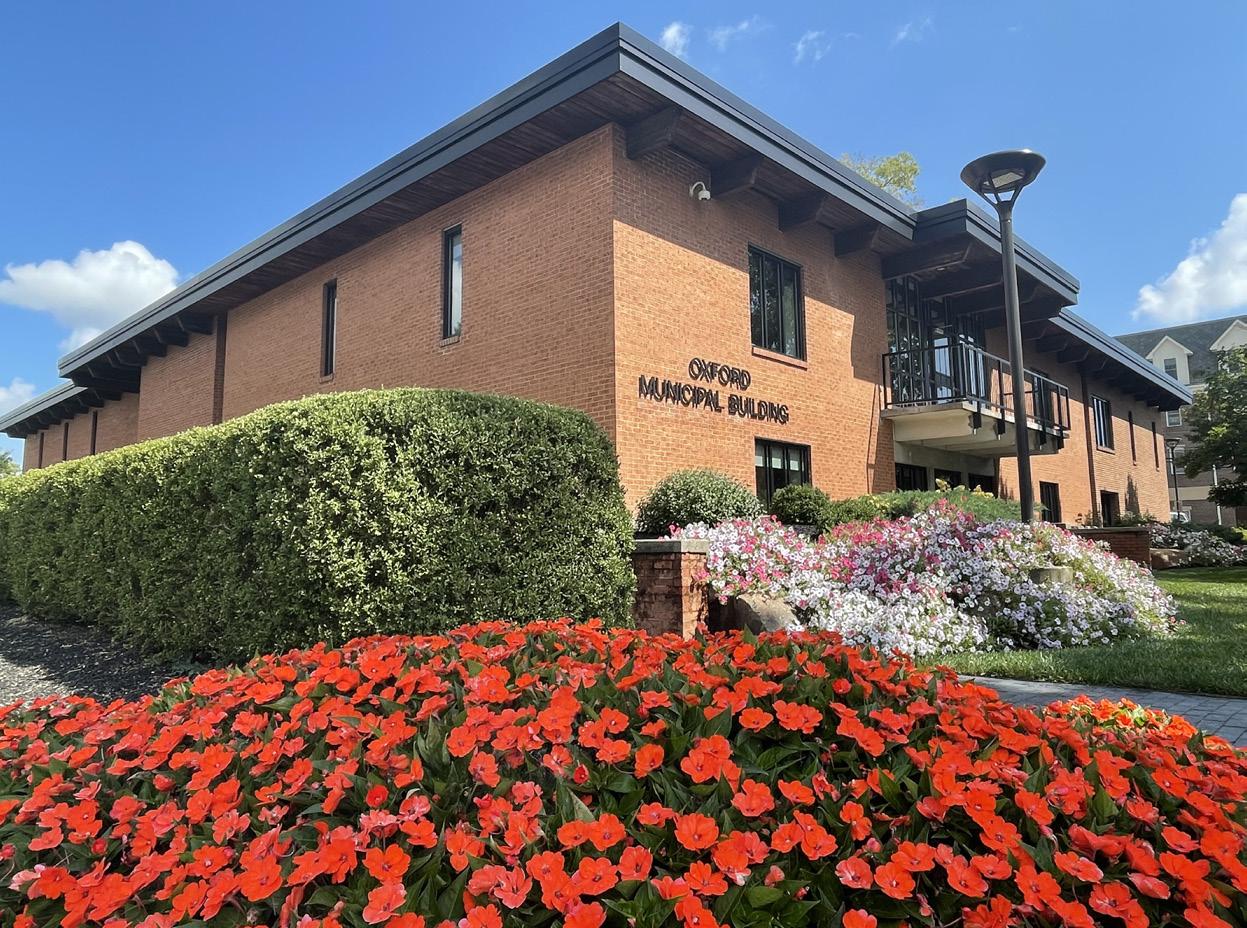
In 2020, Oxford committed to the Global Covenant of Mayors for Climate and Energy (GCoM). Oxford dedicates itself to creating local climate resilience and joins more than 10,000 cities in the goal of a net-zeroemission world by 2050 through a reduction in carbon emissions.
In 2021, City Council accepted the recommendations of the Climate Action Steering Committee (CASC) and adopted formal greenhouse gas (GHG) emission reduction targets, in adherence with Oxford’s commitment to the Global Covenant of Mayors. To prepare a set of reasonable goals, the CASC completed thorough research and review of climate science. They found that scientists agree upon a 2050 deadline for net neutrality to limit the impacts of climate change.
City of Oxford Emission Reduction Targets:
» By 2030: 50% reduction in GHG emissions over 2019 baseline
» By 2040: 90% reduction in GHG emissions over 2019 baseline.
» By 2045: Community-wide net neutrality
In 2015, the City of Oxford began its electric aggregation program which provides residents and small businesses with renewable energy. Currently, the city’s provider is Energy Harbor and the contract is in place until 2023. In 2020, the program had ~2,500 residential customers and ~200 non-residential customers. Collectively, customers saved $122,100 by participating in the program.
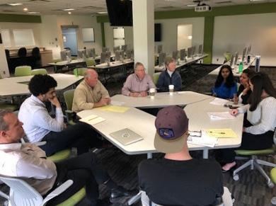
A solar farm will be installed on top of the 20-acre closed landfill. The project will be financed, managed, and built by BQ Energy. In 2021, the City approved a 3-year lease contract and construction is anticipated to take about a year once all plans are approved.
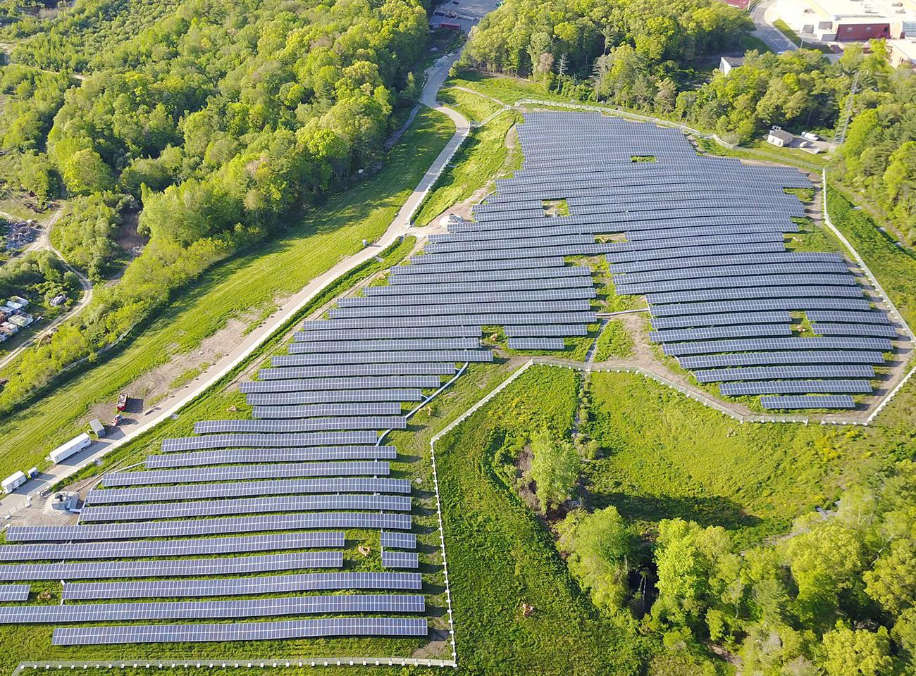 Oxford Municipal Building
Miami U. Students and Oxford Leaders Discussing Greenhouse Gas Emissions (credit: Miami U.)
The Environmental Commission promotes and fosters an awareness of environmental issues in the community, ensures the consideration of environmental quality through community programs, and provides information to the community. The Commission also advises, reports, and recommends to City Council on environmental issues referred to them by Council.
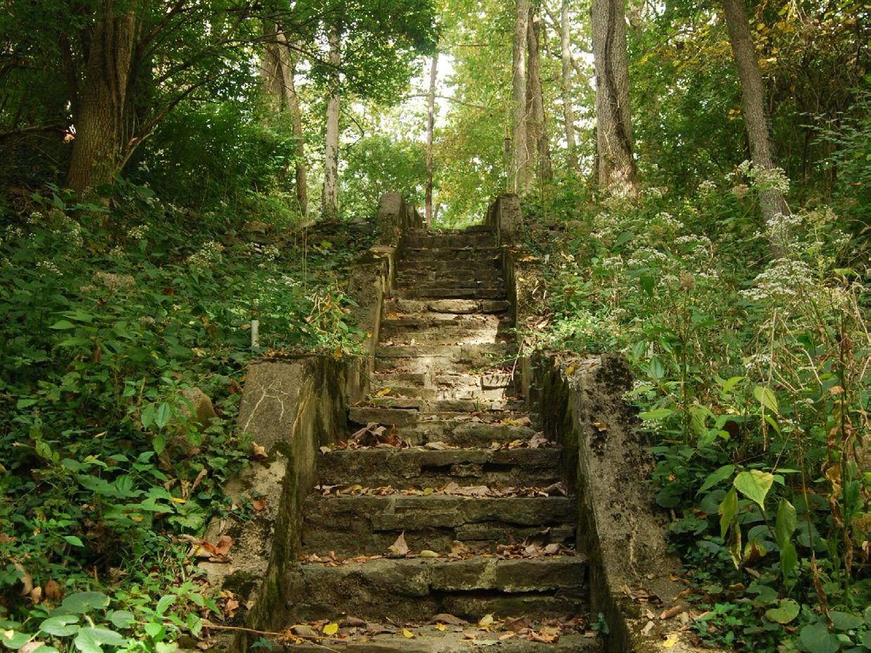
The Climate Action Steering Committee (CASC) is responsible for high level climate action planning, creating, and monitoring a Climate Action Plan and Adaptation Plan, and making formal recommendations to Council.
The City of Oxford has an Urban Forestry Program which maintains 3,510 trees located on streets, parks, and public places. This number excludes the trees in wooded areas of the city. Tree replacement, removal, and the memorial plaque program all fall under the urban forestry program. The city aims for a 1:1.5 replacement ratio, meaning for every 2 trees removed, 3 are planted. The trees provide climate adaptation benefits such as shading and heat absorption, reducing flood damage, and absorbing air pollutants.
Tree City USA
Oxford has been designated a Tree City USA by the Arbor Day Foundation since 1996. The goal of Tree City USA designation is to promote and grow tree cover and to provide opportunities for communities to celebrate their environment. The Environmental Council oversees the designation.

In 2021, the City of Oxford installed the first two electric vehicle chargers in a public space. The chargers are located in the Uptown parking garage. They were funded through an Ohio EPA grant and City funds. In the first half of 2022, the chargers reduced GHG emissions by 1001kg. The City plans on expanding the number of electric vehicle chargers on public property as funding becomes available.
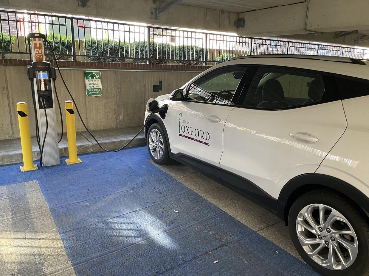 Miami University Natural Areas (credit: Enjoy Oxford)
Urban Forest (credit: Enjoy Oxford)
EV Charging Stations
Oxford Area Trails is a community effort to plan, build, and sustain a system of multi-use paths that will make the Oxford area a regional destination and greater place to live. There is a 5-phase plan to grow the trail system to 12 miles by 2050. The new paths will connect to Miami Natural Area trails, and include asphalt resurfacing of the existing crushed stone trail near the DeWitt Log Homestead.
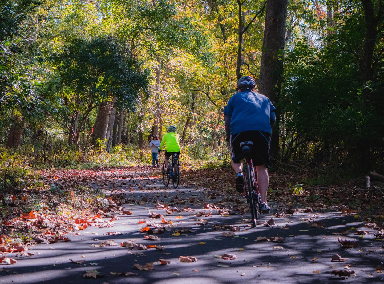
The City has drop off compost bins available to all residents to compost their kitchen food scraps. This program reduces the community’s solid waste, as 1/3 of the material in landfills is compostable material. The City contracts with GoZERO services, a nonprofit food scraps courier service, for weekly collection and transportation of Oxford’s food scraps. Food scraps are transported to Class II permitted facilities licensed by the Ohio Environmental Protection Agency (Ohio EPA) for composting.
The closed landfill has 23 gas vents that are frequently monitored. The City is pending the installation of a solar flare on one of the gas vents to convert the methane emitted to carbon dioxide, a much weaker greenhouse gas. Roughly 33% of the landfill’s emissions are released through this vent, so it is an ideal location for the solar flare.
The City provides services for residential waste, refuse, and recycling pickup and disposal. Rumpke operates a curbside recycling program under contract with the City of Oxford. Recycling is collected alongside trash on the designated pickup days every week.
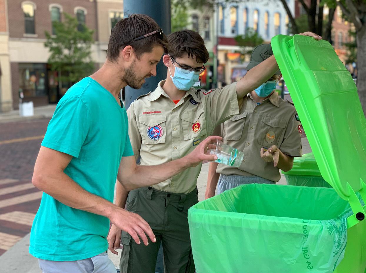
The City of Oxford has a closed landfill equipped with leachate capture to protect local water quality. Any leachate produced by the landfill is collected and sent through the City’s sewer system to the wastewater treatment plant.
Oxford Area Trail (credit: Enjoy Oxford) Compost Drop-off Bin (credit: Enjoy Oxford) Curbside Recycling (credit: Rumpke)In 2021, a team of Miami University Master of Environmental Science (M.En.) conducted a greenhouse gas (GHG) inventory for the City. The inventory was completed using data from calendar year 2019. The team separated their results into Local Government Operations (LGO), which includes all emissions created by the City government, and the overarching Community Scale (CS), which includes residential, commercial, industrial, and LGO impacts. The inventory findings for these two categories are summarized in the graphics to the right. The team found that the largest contributor to LGO emissions were water and wastewater treatment facilities and the largest contributors to CS emissions were commercial and residential energy. The LGO emissions comprise only 3.2% of the overall CS emissions.
Also in 2021, a second team of Miami University Master of Environmental Science (M.En.) students conducted a resilience assessment to determine the most pressing climate-related hazards in Oxford. To determine the most pressing climate-related hazards in Oxford, the team held workshops, conducted jointly by Miami University and the City of Oxford, with members of the campus community. They also reviewed relevant plans and data analysis, including the Butler County Natural Hazard Mitigation Plan. They found that the top 4 hazards (in no particular order) are: heat emergencies, drought, flooding, and increased storming. Addressing these hazards will guide Oxford’s emergency preparedness and general resiliency to climate change.
Source: Oxford GHG Inventory, M. En PSP Team 1 Report (2021)
Source: Oxford GHG Inventory, M. En PSP Team 1 Report (2021)
Solid Waste Residential Energy
Buildings and Facilities Transportation
Water and Wastewater Commercial Energy
Vehicle Fleet Solid Waste
Streetlights Industrial Energy
Employee Commute Water and Wastewater
Local Government Operations GHG Inventory (CY 2019) Community-Scale GHG Inventory (CY 2019)* Resilience Assessment Results
Source: Oxford Resilience Assessment, M. En PSP Team 2 Report (2021)
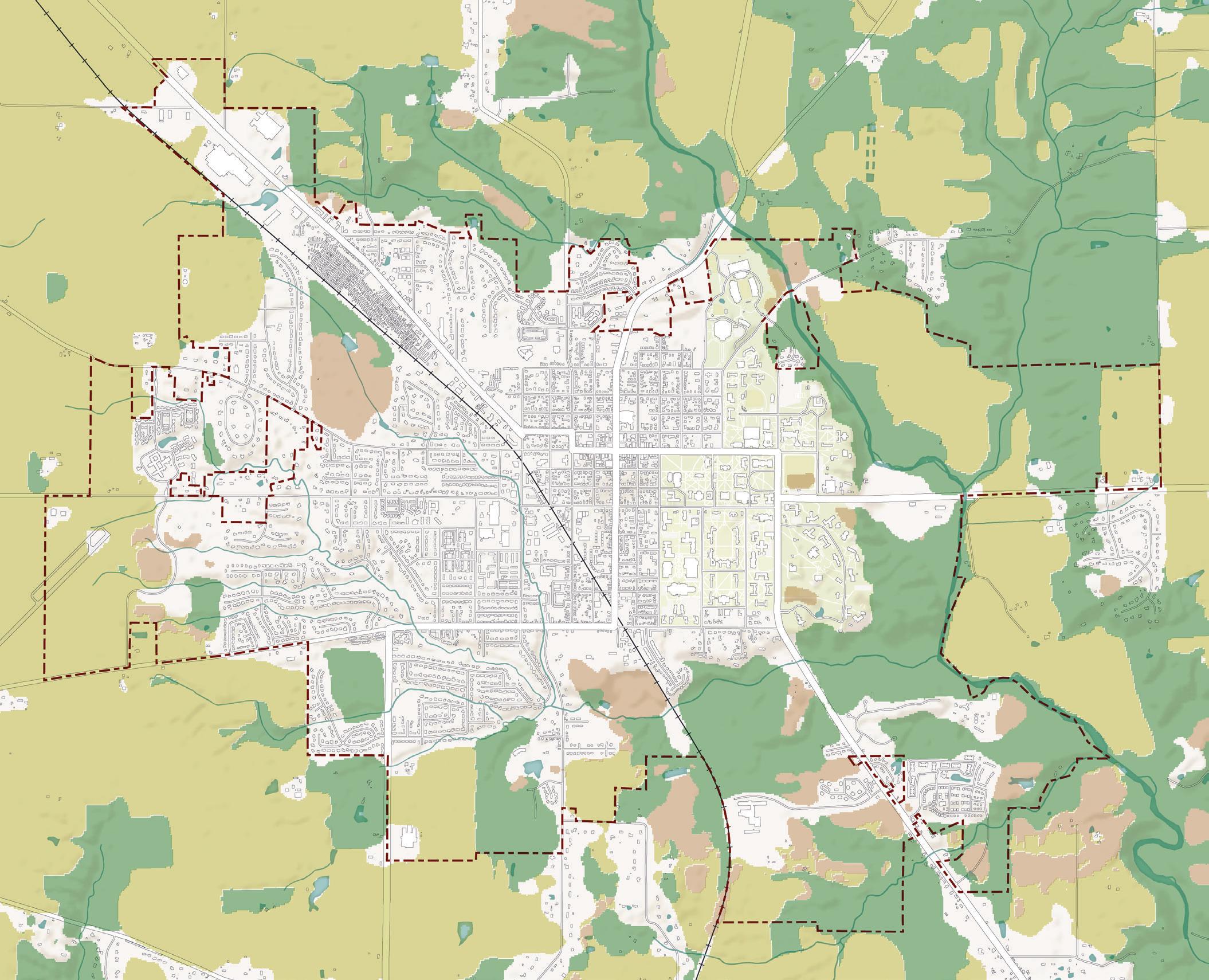
Source:
(2022)
S1. Reduce emissions towards neutrality by 2045.
S1-A1. Develop an energy plan to meet Oxford’s demand with renewables generated locally/regionally. An energy plan is a tool and policy framework to create a long-term vision for determining how a community can generate, use, and distribute energy. Due to constantly evolving energy technology, an energy plan can be a living document that can be updated on a regular basis.
S1-A2. Promote incentives for on-site solar, geothermal, and wind for residential and commercial properties. The federal and state government have several incentives for property owners to make energy efficiency improvements to their properties. The recently passed Inflation Reduction Act, too, will expand tax credits and subsidies for clean energy over the next ten years. If desired, the City can also create local incentives, such as a Property Assessed Clean Energy (PACE) program, a funding tool that allows property owners to finance energy efficiency improvements through a special tax assessment. More information on this program can be found in the call-out box to the right.
S1-A3. Develop regulations and incentives to ensure electrification of new construction with high-efficiency space and water heating. Many buildings rely on both electricity and natural gas to power furnaces, boilers, and water heaters. Electrification of buildings describes a shift to using only electricity for heating. While in Ohio, most electricity is still generated by coal and natural gas, the goal is to transition to solar, wind, and other alternative energy sources to generate electricity. When combined with other recommendations in this section, this type of transition becomes more feasible and fossil fuels can become a thing of the past. Building electrification requirements can be integrated into building codes for new construction.
S1-A4. Promote retrofitting of existing buildings with energy conservation and electrification. Similar to recommendation S1-A2, the transition of existing buildings to all-electric power combined with a shift to more renewable energy sources will make Oxford a more sustainable community in the long-run. Other energy conservation measures can also be utilized, including adding insulation to attics and crawlspaces, adding weatherstripping to doors and windows, adding storm windows and doors, and replacing old appliances and light bulbs.
PACE is a funding mechanism for property owners to finance energy efficiency and renewable energy building improvements. Through this program, 100% of an energy project’s cost is repaid over 20–30-year terms through a special assessment added to the property’s tax bill. Through this funding mechanism, there are no down payments for the project and the financing rates and terms are fixed for the life of the PACE loan. Funding for this program can be used for commercial or residential properties.
This program benefits property owners by removing some financial barriers to energy efficient building improvements. Local governments also see benefits from this program, such as increasing property investment, local job creation, and improving community-wide environmental sustainability. According to the U.S. Department of Energy, in 2019 more than 200,000 homeowners made $5 billion in energy efficiency and other improvements to their homes through RPACE financing.
An Energy Special Improvement District (ESID) must be formed to facilitate PACE financing for commercial property owners. By joining an ESID, a tax-collecting municipality also has the ability also to establish a RPACE program.
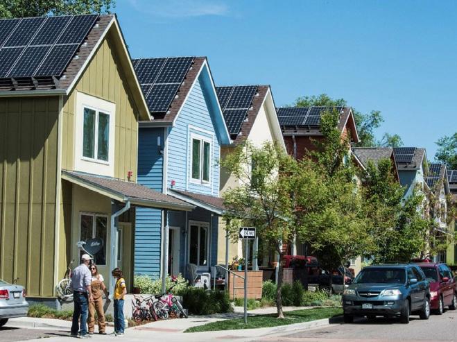
S1-A5. Adopt EV charging infrastructure requirements for new multifamily and commercial developments. The deployment of electric vehicles (EV) in the US is accelerating, being fueled by federal government incentives. With this shift comes the need for much more accessible charging infrastructure for EVs. Local municipalities can speed this effort along by requiring EV charging as part of new developments, especially multi-family and commercial developments where many vehicles are typically present.
S1-A6. Install EV charging stations in places available for public use. In addition to the above recommendation to require installation of EV charging stations within certain private developments, the City can also expand the number of charging stations on public property. The City can continue to seek grants and other funding sources to cover these types of costs, as they did with the charging stations located in the Uptown Parking Garage.

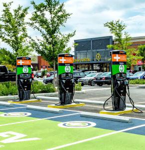
S1-A7. Convert the city vehicle fleet to hybrid and/or electric vehicles. The City’s vehicle fleet currently contributes 6% of the greenhouse gas (GHG) emissions that are generated by local government operations. Conversion of the City’s vehicle fleet to alternative fuel vehicles would help to reduce this number, thus reducing the City’s overall GHG emissions.
S1-A8. Coordinate with community partners in climate action planning. While the City of Oxford has been advancing their own climate action research and planning through the Global Covenant of Mayors (GCoM), Miami University has also been making strides toward becoming a more sustainable and resilient institution and landowner. In 2020, President Crawford signed Second Nature’s Presidents’ Climate Leadership Commitment (PCLC), with the goal of reducing greenhouse gas (GHG) emissions and achieving carbon neutrality as soon as possible. The City and University should continue working together to coordinate their planning, research, and monitoring efforts, while also evaluating their own reporting requirements for GCoM and PCLC, respectively.
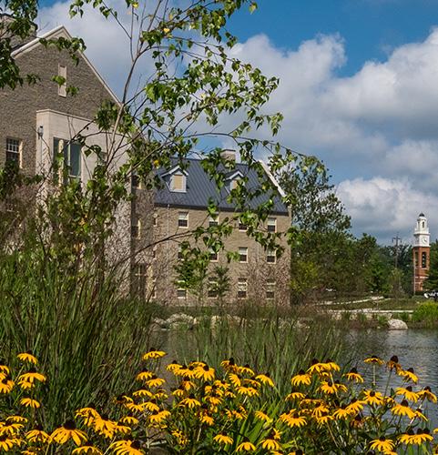 EV Charging Stations (credit: Charge Point)
Electric Vehicle Fleet (credit: SMART Columbus)
S2. Build resilience for a changing climate.
S2-A1. Ensure community cooling and warming shelter adequate to public need. Based on the findings from the Resilience Assessment completed by Miami University students, the changing climate will create hazards at the local level, including heat emergencies and increasing summer and winter storms. To protect Oxford’s most vulnerable citizens from these hazards, the City and partners can create a designated shelter location or locations that can accommodate a large influx of people and has adequate emergency protections.
S2-A2. Adopt climate responsive and resilient building and zoning codes. Climate responsive and resilient building codes apply modern methods of design and construction that can save lives from extreme weather events and natural disasters, reduce property damage, and lower utility bills. According to the National Institute of Building Sciences, “every dollar invested in building code adoption provides eleven times more in savings by reducing damage and helping communities recover more quickly”. In June 2022, the U.S. government announced the National Initiative to Advance Building Codes, which includes technical assistance to accelerate the adoption of modern building codes in local communities. Similarly, many of the other recommendations in this plan would contribute to a more climate responsive Zoning Code for Oxford.
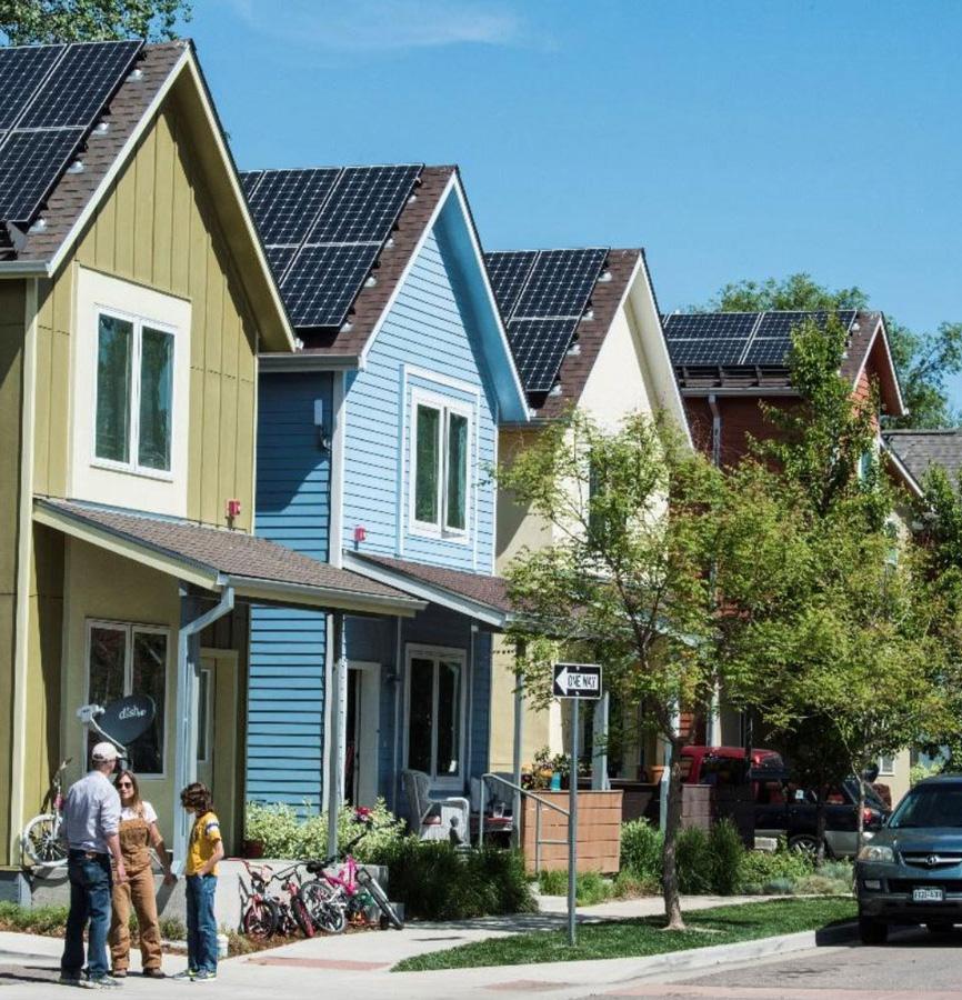
S2-A3. Work with utilities to transition local electricity distribution to below-ground. Above-ground utility wires pose both aesthetic and safety challenges that can be mitigated by transitioning them underground. Above-ground utility lines are unsightly and detract from scenic roadways and streetscapes. Underground utility lines also eliminate or reduce the risk of fire hazards, accidents, and power outages due to downed lines or weather. Where possible, the efforts to move utility wires below-ground should coincide with other Capital Improvement Plan (CIP) or roadway projects.
S2-A4. Manage adequate water supply and demand for projected future conditions. In the face of a changing climate, Oxford should plan ahead for a resilient local water system, which includes groundwater, potable water, wastewater, and stormwater to ensure clean and safe water to protect public health and the environment.
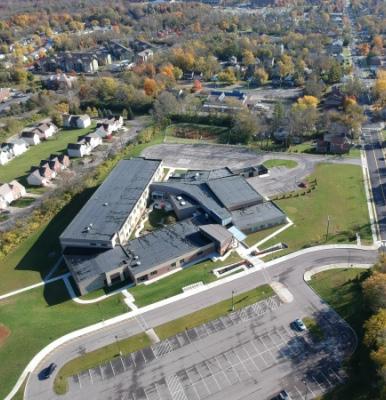
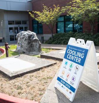 Cooling Center (credit: Multnomah County)
Kramer Elementary, LEED, Silver (credit: Talawanda School District)
Climate Ready Homes (credit: Environment America)
S3. Become a Zero Waste community.
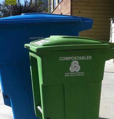
S3-A1. Increase community waste diversion through reuse, recycling, and composting. Through the recommendations under objective S3, Oxford should seek to increase waste diversion from landfills, which is something that can be measured and tracked for progress over time.

S3-A2. Advocate for expansion of regional recycling and composting capacity. Recycling and composting services are often provided by regional companies. Oxford can work with regional environmental advocacy groups like Green Umbrella and other partners to advocate for expanded capacity of these important services.
S3-A3. Require all commercial properties, including multi-unit apartment complexes, to recycle. Currently, recycling is most accessible for Miami University students living on-campus and for residents who live in neighborhoods with curbside recycling pick-up. Two drop-off recycling locations can also be found behind the Miami University Police Station and in the Tollgate Shopping Mall area. To work toward becoming a Zero Waste community, commercial and multi-family residential properties in Oxford should also provide recycling.
S3-A4. Establish Community Clean-Up Days to provide opportunities for disposal of bulky, sensitive, or hazardous items. Oxford faces a unique challenge in that it has a revolving population of transient college students who typically move at least twice during their tenure in Oxford. With this cycle of students moving into and out of Oxford, comes a lot of waste generation. The existing ShareFest event, held annually during move-out in May, seeks to collect goods for donation that otherwise would have gone to the landfill. In addition to this existing event, the community should consider establishing another community-wide clean-up day to encourage all residents to responsibly dispose of bulky, sensitive, or otherwise hazardous items.
S3-A5. Pilot and launch a curbside composting pilot program. To build on the success of the food scrap recycling program, the City can also consider a curbside program, which would help to ease barriers to composting for residents by allowing them to set their kitchen food scraps on their curb in a bin for collection along with their trash and recycling. Several cities around Ohio have started to launch curbside composting pilot programs, often with the help of grant funding.
S3-A6. Encourage retailers to itemize a charge for single-use plastics. In Ohio, local jurisdictions are limited in their ability to regulate singleuse plastics. Given these limitations, Oxford can work with local retailers to encourage them to itemize a charge for single-use plastics, like plastic shopping bags. This type of charge cannot be a local tax or fee, but would have to be added by the business themselves. Still, this is a step in the right direction to discourage single-use plastics in Oxford.
 Bulky Item Disposal (credit: Oxford Observer)
Curbside Composting (credit: Waste 360)
Plastic Bag Alternatives (credit: HuffPost)
S3-A7. Promote reusable serviceware for dine-in restaurants, and compostable serviceware and containers for take-out. Similar to the itemized charge for single-use plastics, Oxford can work with restaurants and businesses to encourage the transition to reusable or compostable options for serviceware and take-out containers. While this effort is contingent on the motivation of business and restaurant owners, the City and partners can help by seeking out grant or other funding options to help offset any costs related to this transition.
S4. Conserve Oxford’s natural resources.
S4-A1. Strengthen conservation of mature forests and other significant environmental areas in development review. Forests and woodlands are critical natural resources and provide many benefits to communities. They provide shade, remove carbon from the atmosphere, produce oxygen, stabilize slopes, provide wildlife habitat, and capture stormwater runoff. These places must be protected and conserved. This can be accomplished through regulatory and non-regulatory methods during the development review process. A regulatory method would involve the adoption of zoning provisions to limit disturbance of existing woodlands on a development site. A non-regulatory method could include the incentivizing of dedicated easements. The City has already made progress in helping to protect mature trees and forests from development activity by adopting a local tree ordinance in 2020.
S4-A2. Expand the city’s urban tree canopy by supporting tree planting and urban forestry programs. As described at the beginning of this section, the City already has an urban forestry program, which aims for a tree replacement ratio of 1:1.5, which can help to gradually increase Oxford’s urban tree canopy. The City should continue to fund and implement this program over the next ten years and beyond.
S4-A3. Utilize alternatives to conventional pesticides and herbicides on public property. Pesticide and herbicide use can be problematic for the environment as they can contaminate soil, water, and other vegetation. They can also be toxic to other organisms, including birds, fish, and beneficial insects. The City should cease use of these solutions on public property in favor of safer alternatives.
S4-A4. Implement an “Adopt Your Drain” program for individuals to prevent water pollution through storm drains. Often, trash and debris collects in storm drains, creating clogs, which can cause roadway and property flooding. Given the risk for increased flood hazards with the changing climate, having clean storm drains will become increasingly important for community resiliency. Additionally, trash can enter into surface water and streams through storm drains, adding to water pollution. Through an Adopt-a-Drain program, community members can take part in the important work of keeping storm drains clear.
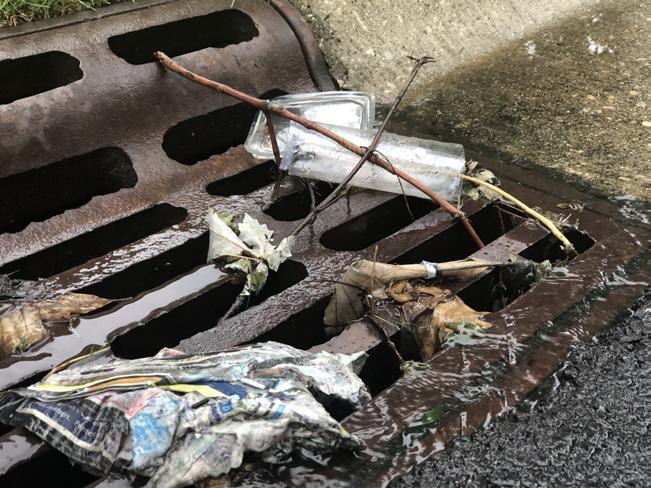
The City of Naperville’s Adopt-aDrain Program aims to keep storm drains free of debris. The Public Works Department identified clogged storm drains as a major cause of roadway flooding in the city. The adoption program, launched in October 2018, allows citizen volunteers to choose one of the 14,000 qualifying drains via an online interactive map. Participants are given a list of necessary household materials needed to clean the drain area and instructions for best and safest practices. They are encouraged to clean their drain four times a year and are notified via email before heavy rainfall for additional cleaning. Adopters can submit a photo of their drain, report an issue with their drain, report the storm drain as having been cleaned, and abandon their drain via the interactive map or website. Before the program Naperville spent $1.1 million annually maintaining, inspecting and repairing 56,000 storm drains. Within the first month of the program’s implementation over 200 residents had adopted just over 300 storm drains.
Source: City of Naperville, IL
S4-A5. Revise street design guidelines to incorporate green infrastructure for stormwater retention, filtration, and tree canopy goals. According to the US EPA, green infrastructure is defined as “the range of measures…to store, infiltrate, or evapotranspirate stormwater and reduce flows to sewer systems or to surface waters”. Green infrastructure has many benefits to communities including cleaner air and water, flood protection, green space and habitat provision, and lower infrastructure costs. Streets are a great place to incorporate green infrastructure as they are typically publicly owned spaces. Examples of green infrastructure that could be incorporated into streetscapes include rain gardens, bioswales, planter boxes, permeable pavement, and street trees.
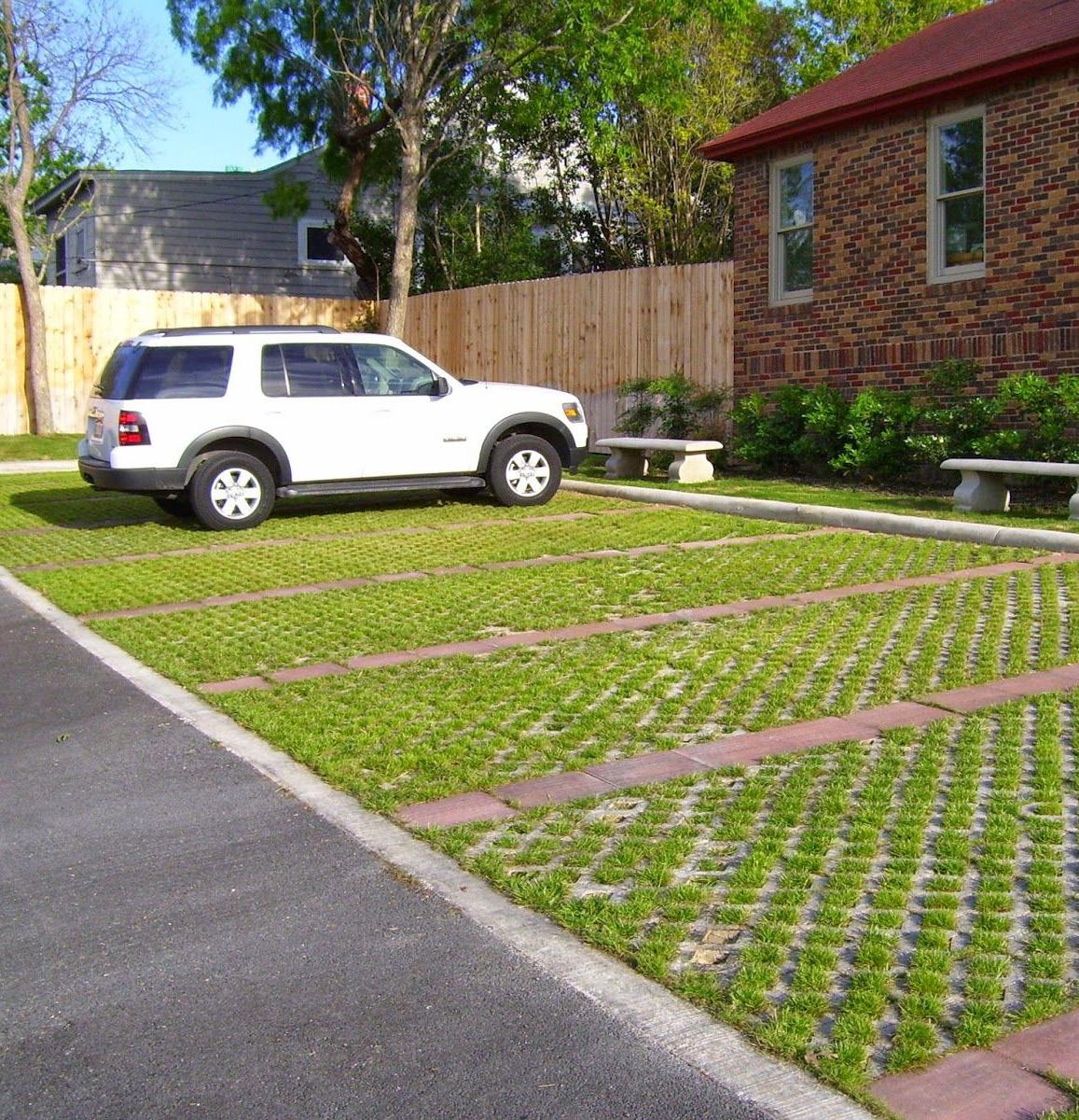
S4-A6. Adopt regulations or incentives to promote efficient residential and commercial water use (and reuse/harvesting). The harvesting and reuse of stormwater or rainwater is becoming a more common practice. This can include more low-cost options like rain barrels or more permanent solutions like underground cisterns or stormwater basins that store rainwater or stormwater. Once collected into these storage units, the water can be used for beneficial purposes like irrigation, flushing, industrial processes, and even potable water. To encourage water harvesting and reuse, the City could explore additional regulations in the stormwater design manual, and/or explore incentives like utility fee credits or reductions.
S4-A7. Revise development codes to promote low impact development for stormwater management. According to the US EPA, low impact development is an approach to development that utilizes natural processes to manage stormwater as close to its source as possible. Often these approaches will include green infrastructure, which should be integrated into or immediately adjacent to a development. These approaches should be incorporated into the City’s development codes for clarity in the development process.
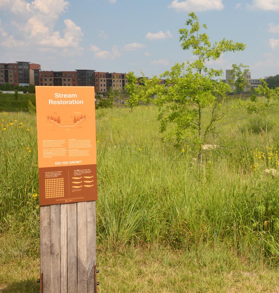
S4-A8. Expand public education on sustainability and conservation, using public lands and facilities as models. Community-wide education on sustainability and conservation topics can help to call attention to their importance. This education can happen through formal or informal methods. A more formal method could be community lectures or workshops, perhaps in partnership with faculty at Miami University, on key sustainability and conservation topics. A more informal method could include the use of educational interpretive signage on public lands and in public facilities. Interpretive signage often includes easy-to-understand explanations of concepts. These methods should engage all members of the community, but special attention to youth outreach and education can help to inspire future generations to act on these topics.
 Outdoor Learning (credit: Getty Images)
Interpretive Sign
Permeable Parking (credit: Custom Stoneworks & Design Inc.)

Maintaining a robust system of parks, recreation amenities, and cultural assets is essential to a community’s health, economy, and overall quality of life.
Based on existing conditions, analysis, and community feedback, Oxford is already going above and beyond in this topic area. That being said, there is always room for improvement and this plan seeks to address some of the concerns and ideas contributed by community members during the planning process. This section focuses on parks, public green spaces, recreational facilities, cultural amenities, and programming within those spaces.
Oxford’s parks and open spaces are major assets for the community and contribute to a high quality of life for residents. The City of Oxford maintains approximately 150 acres of public parks, which include the following:
• Oxford Community Park – Oxford’s largest park with a variety of active recreation amenities, including baseball and soccer fields, basketball courts, a playground, and Aquatic Center.
• Merry Day Park – located off Reagh’s Way, Merry Day Park features a large playground, picnic shelter, basketball hoop, and open play area.
• TRI Community Center – the TRI facility features a variety of indoor and outdoor amenities, including a skate park, pickleball courts, basketball courts, a ball diamond, a playground, and picnic shelter.
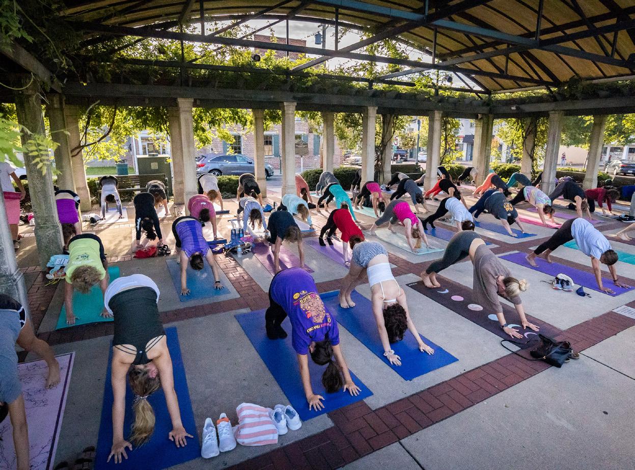
• Leonard G. Howell Park – named after Oxford’s first City Manager, this nine-acre park features a playground, picnic shelter, and plentiful green space with access to the Oxford Area Trails.
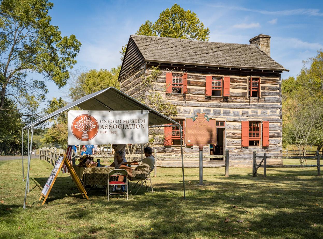
• Uptown Parks – at the heart of Uptown Oxford are Dr. Martin Luther King Jr. Park and Oxford Memorial Park, the site of numerous outdoor concerts and events throughout the year.

• Northside Bark – a one-acre dog park with offleash areas for small and large dogs, as well as a play structure for kids
• Inloes Park - a neighborhood park with gardens maintained by the Des Fleurs Garden Club
• South Locust Park – a passive green space with seating
• Robert M. Artz Park – a neighborhood park with benches and planters with shady spots for relaxation
Uptown Music Concert (credit: Enjoy Oxford) DeWitt Log Homestead (credit: Enjoy Oxford)
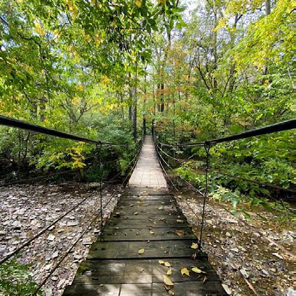
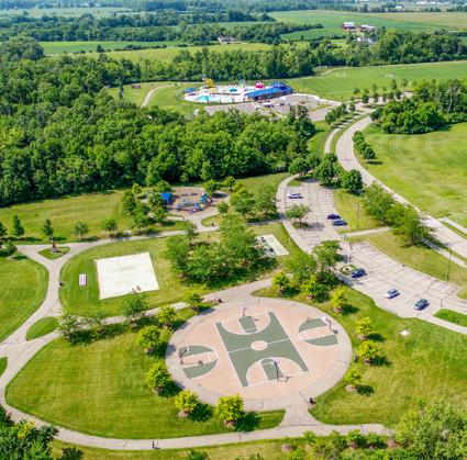
Public Parks & Preserves
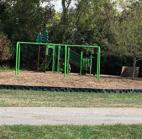
Other Open Spaces Streams & Ponds Buildings Roadways
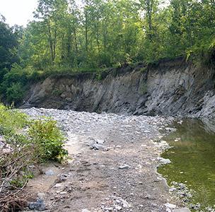
City Boundary
The map above highlights where parks, preserves, and open spaces are located. Public parks and preserves are owned and operated by public or non-profit entities, like the City of Oxford, Miami University, MetroParks of Butler County, and Three Valley Conservation Trust. A significant green buffer is formed by these types of open spaces along the eastern portion of Oxford. These areas tend to be more passive types of open spaces, like preserves and forested areas. More of the active open spaces can be found to the west, with TRI Center, Oxford Community Park, and Oxford Country Club. Oxford is also located within close proximity to some significant regional parks, like Hueston Woods and Four Mile Creek Metro Park.
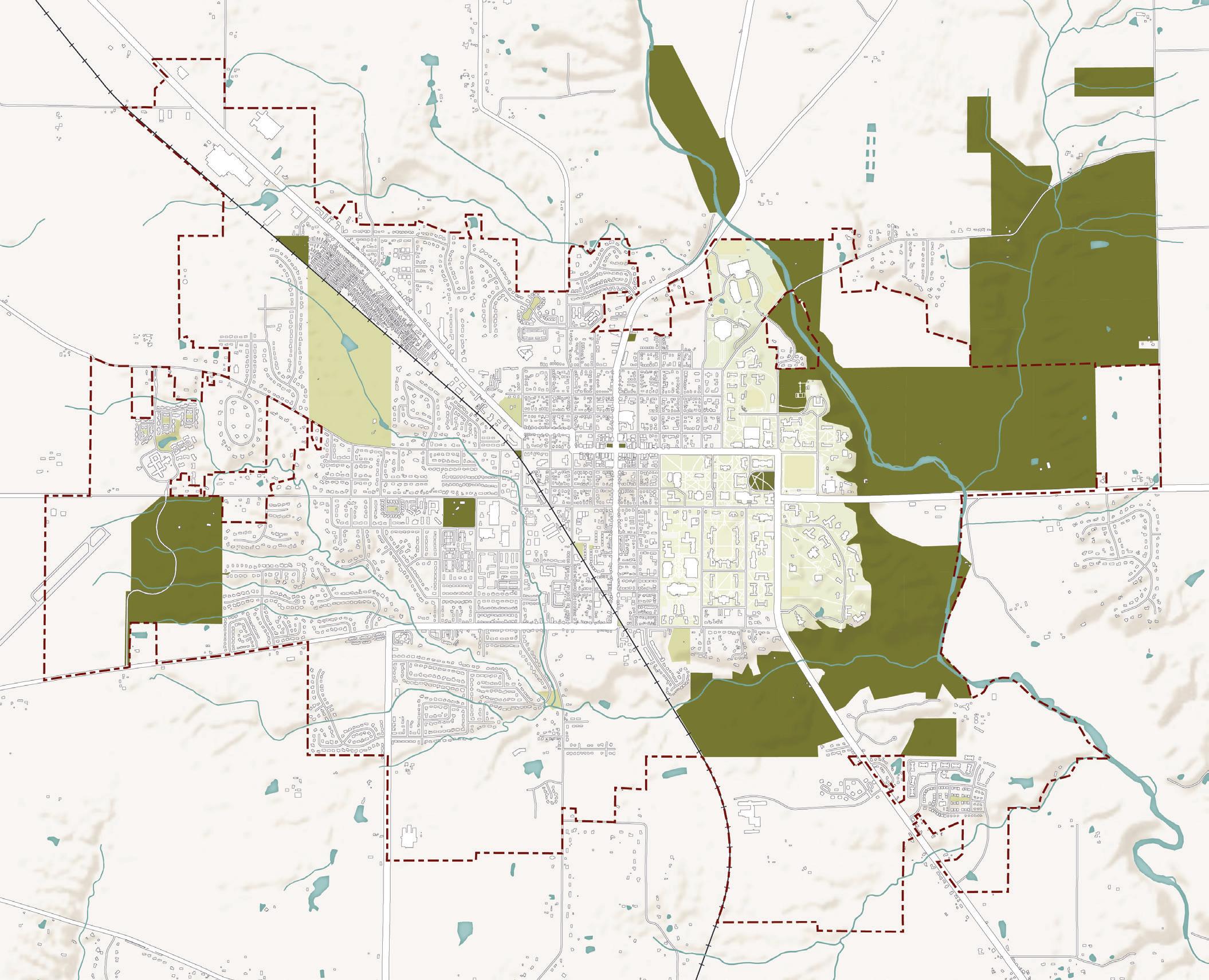
Museum of Natural History Center for Performing Arts
McGuffey Museum
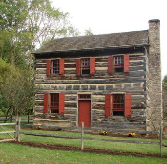
Limper Geology Museum Freedom Summer ‘64 Memorial
Miami University Art Museum & Sculpture Park

Ernst Nature Theater
In addition to parks, cultural assets are important to quality of life in a community. Many of these types of assets in Oxford are located on campus and operated by Miami University. These assets include the Miami University Art Museum, Limper Geology Museum, Museum of Natural History, Center for Performing Arts, and McGuffey Museum. A major benefit of Oxford being a college town is the presence of amenities like these and the various arts and culture programs and events held in the community. Other cultural and historic assets include the DeWitt Log Homestead, Black Covered Bridge, and the Oxford Community Arts Center. Again, many of these locations also host events and programs throughout the year that bring the community together.
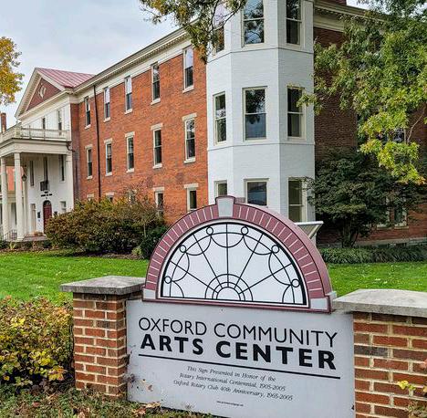
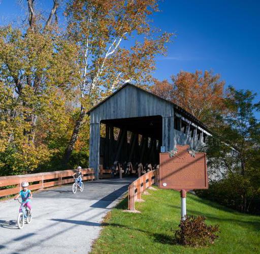

Access is an important factor to ensure that all community members can enjoy Oxford’s wonderful parks and open spaces no matter where they live. One resource for measuring park access is the Trust for Public Land’s ParkServe© tool, which evaluates most cities in the United States according to the percentage of residents within a 10-minute walk of a park. According to the 2022 ParkServe© Index, 84% of Oxford residents are within a 10-minute walk of a park, which is above the national average and many other peer communities. Based on this comparison, Oxford is more similar to places known for their excellent parks and recreation systems, like Boulder, Colorado and Eugene, Oregon.
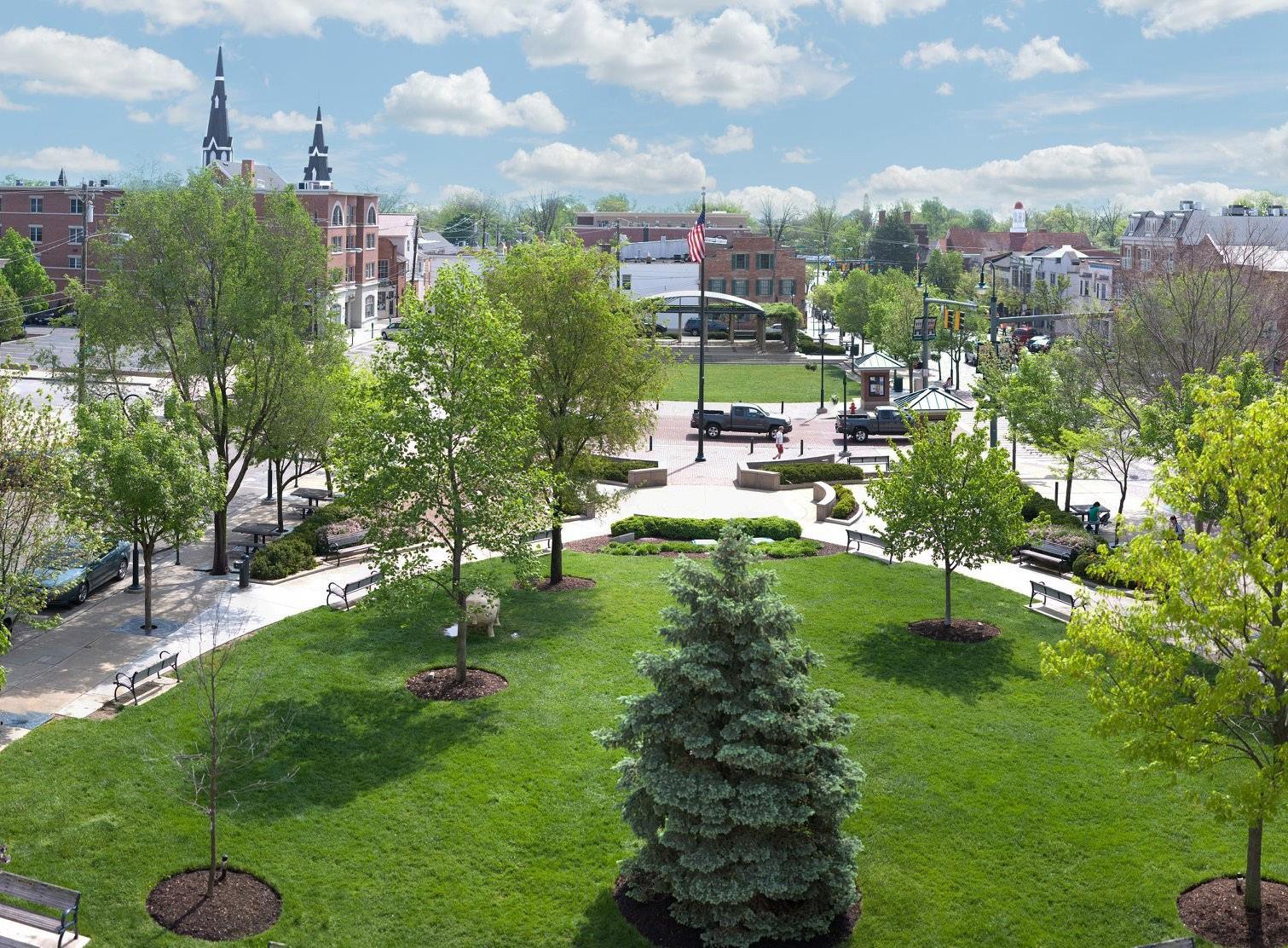
To measure physical park access more precisely in Oxford, the planning team conducted a custom analysis. To do this, the team identified existing publicly accessible park facilities, then located the centroid of each of those boundaries. A 10-minute walkshed was then created from those centroids, which also accounts for the presence or lack thereof of pedestrian facilities. Then, the population within the resulting walkshed was calculated. The map on the following page illustrates the results of this analysis, which indicates that 70% of residents are within a 10-minute walk of a park , which is still well above the ParkServe© Index national average and many peer communities. The map indicates areas outside of the park walkshed, where future park facilities or improved trail or sidewalk connections may be needed.

Connect bike trail to Hueston Woods! Make Oxford a destination town for cycling
“
Improve sidewalks on main roads to increase connectivity to parks using existing pathways
“ “Peffer Park (credit: Enjoy Oxford) Oxford Community Park (credit: Enjoy Oxford)
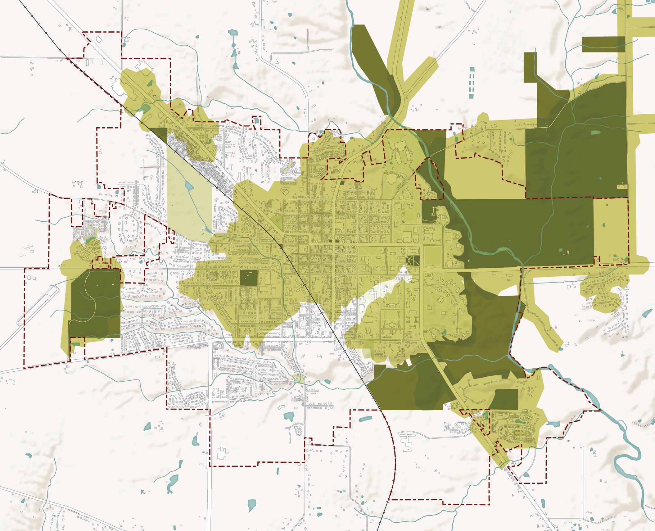
R1. Maintain and improve existing parks, recreation, and cultural facilities and programs.
R1-A1. Create and implement a new Parks and Recreation Master Plan. Oxford is in need of a new Parks and Recreation Master Plan to determine what facilities and programs are missing or lacking in Oxford according to the needs of the community. This recommendation should be a top priority for the City to complete before making any more significant investments in parks and recreation. A Parks and Recreation Master Plan typically includes community engagement findings, a summary of parks and recreation facilities and programs that exist in Oxford today, a level of service analysis, and recommended public investments.
R1-A2. Develop a Community Center that offers programming, recreation, access to social services, and rentable community space. During this planning process, community members demonstrated a need for a true Community Center to be a central, public hub for many services and amenities. The existing TRI Community Center is primarily a recreation space which houses the Parks and Recreation department as well as a preschool facility, alongside the various outdoor recreational facilities. Creating a more community-focused space where people can gather, play, work, or seek social assistance could greatly impact Oxford’s community well-being.
R1-A3. Develop a variety of arts and recreational programs for all ages. Programming provides many community benefits and activates parks over the course of a day and throughout the year. The City should continue to develop programs for a variety of interests, abilities, and ages. These programs can be related to fitness, sports, arts, culture, wellness, or other topics of interest to the community.
R1-A4. Improve or modify existing playgrounds to be more inclusive. Inclusive playgrounds and play spaces welcome children of all abilities to have fun, interact with other kids, be challenged, and develop essential skills. Inclusive playgrounds are universally designed, sensory-rich, and engaging environments where children develop physically, socially, and emotionally.
R1-A5. Install publicly accessible fitness equipment in parks. Outdoor sports and fitness equipment can be an accessible and low-barrier way for many people to work on their health goals. This type of equipment is typically placed in a public park and is usually geared toward teens, adults, and older adults. Signs or other tools can accompany the equipment to educate on the proper use of the equipment and how to use it for exercising.
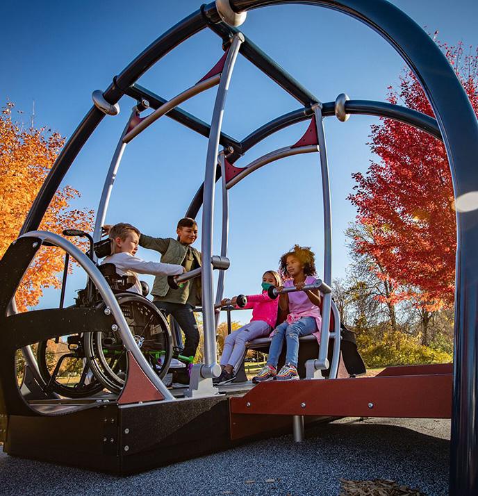
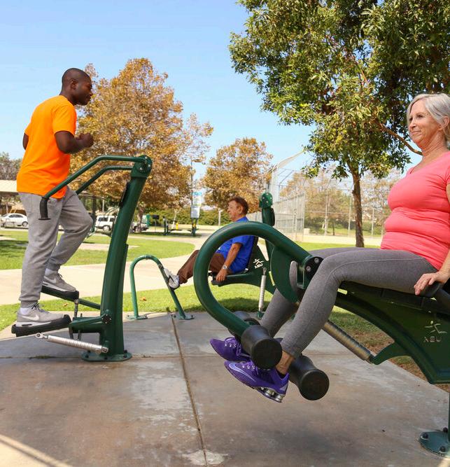 Playground (credit: Earth Scapes)
Outdoor Fitness Equipment (credit: CAD Details Blog)
Inclusive Play (credit: Habitat Systems)
R2. Improve access to parks, recreation, and cultural facilities and programs.
R2-A1. Promote acquisition of open space areas for either recreational or preservation purposes. Open space acquisition can be realized by the City of Oxford or by other public entities, including those that already manage parks and preserves in Oxford. Open space acquisition should be a priority for ecologically sensitive or ecologically significant areas, areas that would expand existing parks or greenways, areas that would improve park access for residents, and areas that would advance stormwater mitigation efforts.
R2-A2. Coordinate with regional partners to connect local trails with the regional trail network. Many other organizations in the greater Oxford area fund, construct, and maintain trails, typically within a park or preserve. These organizations include Miami University, MetroParks of Butler County, Three Valley Conservation Trust, and the Ohio Department of Natural Resources. The City should work with these organizations to connect the Oxford Area Trails system, local trails, and regional trails, enabling people to take advantage of longer routes for leisure and active transportation. One example of this could be working with the Ohio Department of Natural Resources to connect Oxford Area Trails with Hueston Woods.
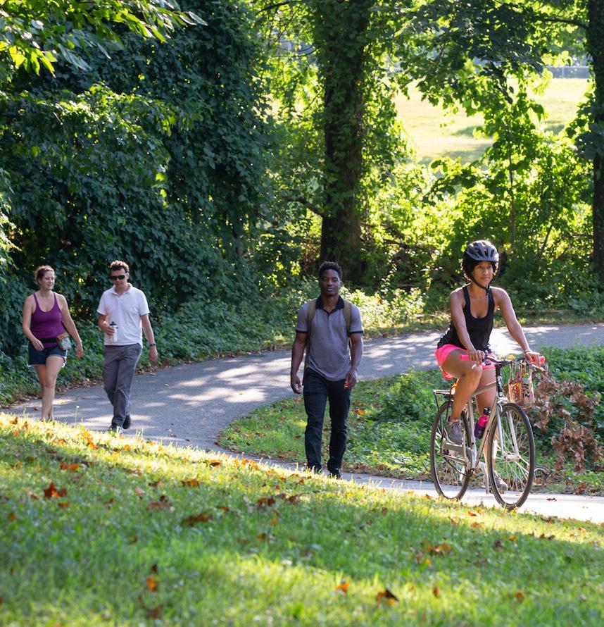
R2-A3. Encourage sponsors of arts and recreational programs to be inclusive toward marginalized residents. Beyond the City of Oxford, other local groups and organizations provide arts and recreational programming. These groups should aim for accessible and inclusive programming where possible to welcome all Oxford residents to enjoy community events.
R2-A4. Strive for equitable distribution of parks and recreational facilities across the city. As discussed earlier in this section, Oxford is doing better than many of its peers, but there are still areas of the community that are lacking easy access to public parks. These areas may require future park facilities, or there may be a lack of adequate trails, sidewalks, or other adequate transportation to reach existing parks. Quality of parks and recreational facilities is another important factor to consider from an equity standpoint. The development of a Parks and Recreation Master Plan (as proposed in R1-A1) should provide direction on where and what types of facilities are needed throughout Oxford.
R2-A5. Improve access to Miami University parks, events, and programs for all residents. During the planning process, some residents expressed a desire for better access to Miami University parks, cultural events, and programs. Access could be improved through a special parking pass for residents, more metered parking options, shuttles to neighborhoods during special events, or improved communications about how to enjoy those amenities.
R2-A6. Construct a new dog park to meet the demands of the community. The Northside Bark dog park is the only dog park in Oxford and is not sufficient to meet community needs. Another location in Oxford should be identified that would be ideal for another dog park.

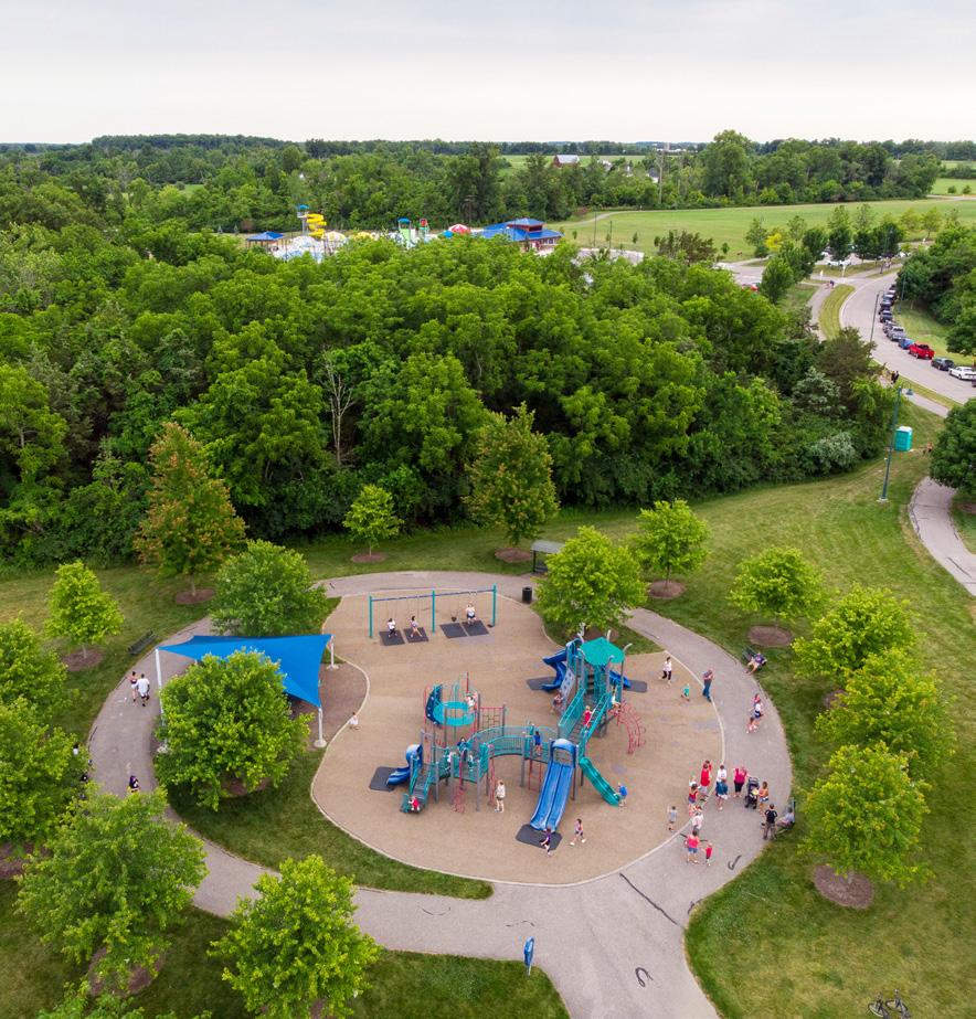 Multi-use trail (credit: Bikemore)
Oxford Community Park
Dog Park (credit: Off the Leash)
R3. Promote parks, arts, and culture throughout the community.
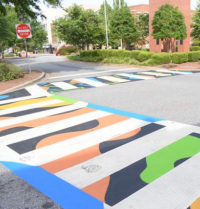

R3-A1. Promote Oxford’s parks and green spaces for residents and visitors to experience. Parks and recreation have countless benefits for communities. According to the National Recreation and Parks Association (NRPA), parks and recreation generate measurable benefits in the following areas:
• Health and wellness
• Childhood development
• Social connection
The City, Enjoy Oxford, and Miami University can all work to promote opportunities for residents and visitors, alike, to experience the benefits of parks and recreation in Oxford. Additionally, parks can be a great tool for economic development, especially through outdoor and recreation tourism. With the nearby Hueston Woods State Park and the amazing local parks system, Oxford is well-positioned to attract visitors seeking nature and outdoor recreation.
R3-A2. Support partnerships to create new education, recreation, and cultural opportunities for the community. The City should seek and support partnerships with local and regional organizations to bring additional programming and event opportunities for the community to enjoy. These efforts should focus on programming and opportunities that are currently lacking in Oxford, that generate positive impacts for the local economy, and that foster year-round engagement.
R3-A3. Create a trail system to identify historic structures and sites. Oxford has many significant historic structures and sites throughout the community and organizations like Enjoy Oxford have worked to develop walking tours to showcase these places for residents and visitors. These self-guided walking tours currently showcase Oxford’s Black history, University Historic District, Western College for Women Historic District, and Uptown Historic District. To formalize these efforts and integrate them with the built environment, a “trail” system can be developed using physical signage to make people aware of the sites and be a tool for wayfinding to and from the various sites.
R3-A4. Create incentives for private developments to include public art, including murals. Where possible and appropriate, private developers should be encouraged to incorporate public art into their development proposals. Conversations should happen early on in the development review process between City staff and a potential developer about introducing art into their plans. Additionally, the City can incentivize public art in private developments by waiving some permitting fees or certain development requirements.
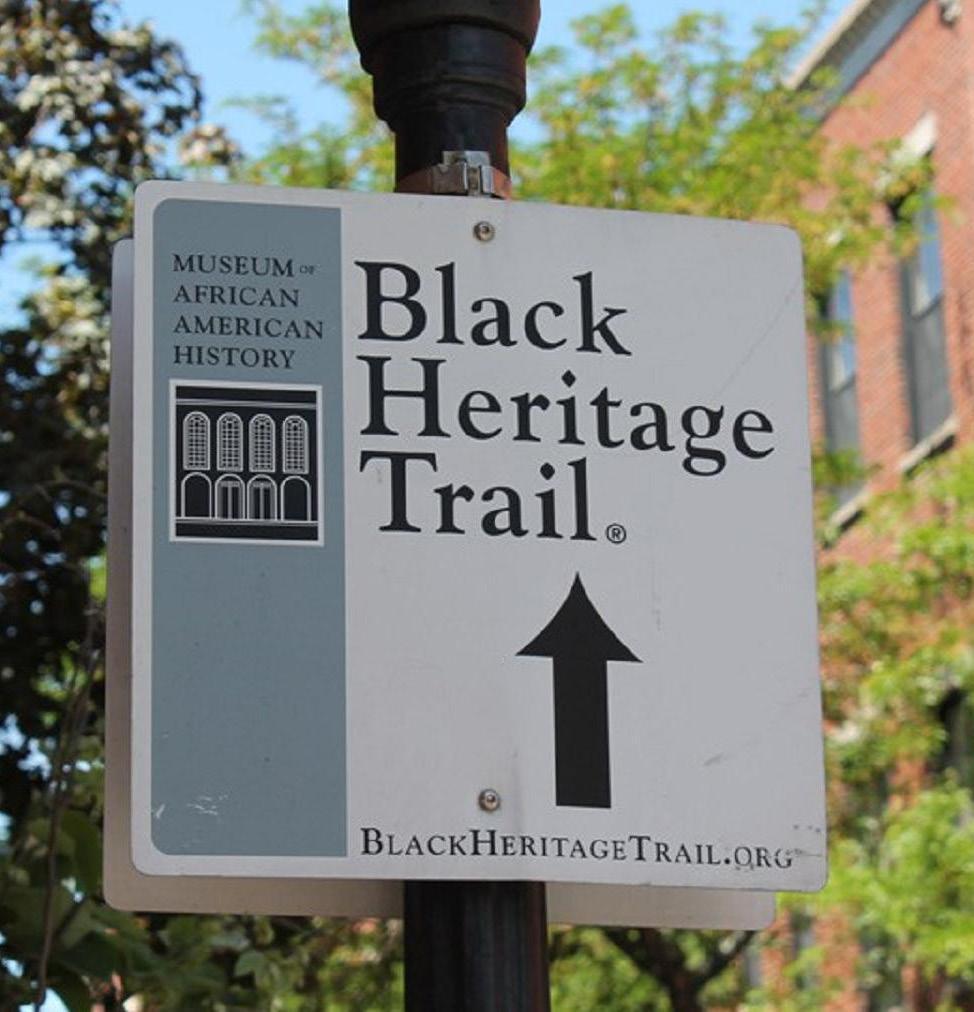 History Trail Signage (credit: NPS)
Outdoor Art Gallery (credit: City of Victoria, CA)
Painted Crosswalks (credit: Downtown Spartanburg)
R3-A5. Identify spaces on public property which could showcase the artwork of local artists. The City and other public agencies can also be a leader in public art in Oxford by showcasing local public art on public property and in public buildings, such as City Hall, public parks, the TRI Center, Lane Library, and others. This could be any type of artwork—visual arts, sculpture, or murals, Funding for these types of efforts could come from the general City budget, a percent-for-art ordinance (as discussed in R3-A6), grants, philanthropy, or through other means.
R3-A6. Include public art as part of the Capital Improvement Plan (CIP). Many cities pass percent-for-art legislation, which dedicates a percentage of CIP per year for the commissioning of public artworks. This creates a guaranteed funding stream for public art projects and ensures continuous planning for public art. Typically, public art that is funded through these means will be sited in, on, or adjacent to a CIP project, such as a streetscape project, trail extension, new public facility, or other capital improvements.
R3-A7. Promote temporary public art installations in vacant storefronts Uptown. Vacant storefronts detract from an enjoyable pedestrian experience and public realm Uptown. One quick and easy solution to address vacant storefronts is to add temporary public art installations in windows. Many examples of these types of programs exist around the country. One such program, the Art in Vacant Spaces Project, is described in the call-out box to the right. This type of initiative would be a great opportunity to engage the faculty and students of Miami University’s Department of Art to come up with creative and visually engaging solutions to vacant storefronts.
A collaboration between the SUNY Purchase College School of the Arts and the White Plains Business Improvement District (BID), the Art in Vacant Spaces project seeks to improve the visual appearance of vacant storefronts and enhance the pedestrian experience. Launched in 2015, the project is part of a Community Design class at SUNY, which focuses on pro-bono work to better the community. The artwork is displayed for three months or until the individual properties are rented.
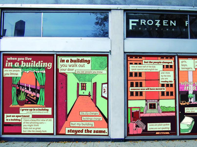
Community well-being is a new topic for Oxford’s comprehensive plan and is intended to capture community sentiments around topics such as diversity, equity, and inclusion; social, health, and community services; community programming; and public safety.
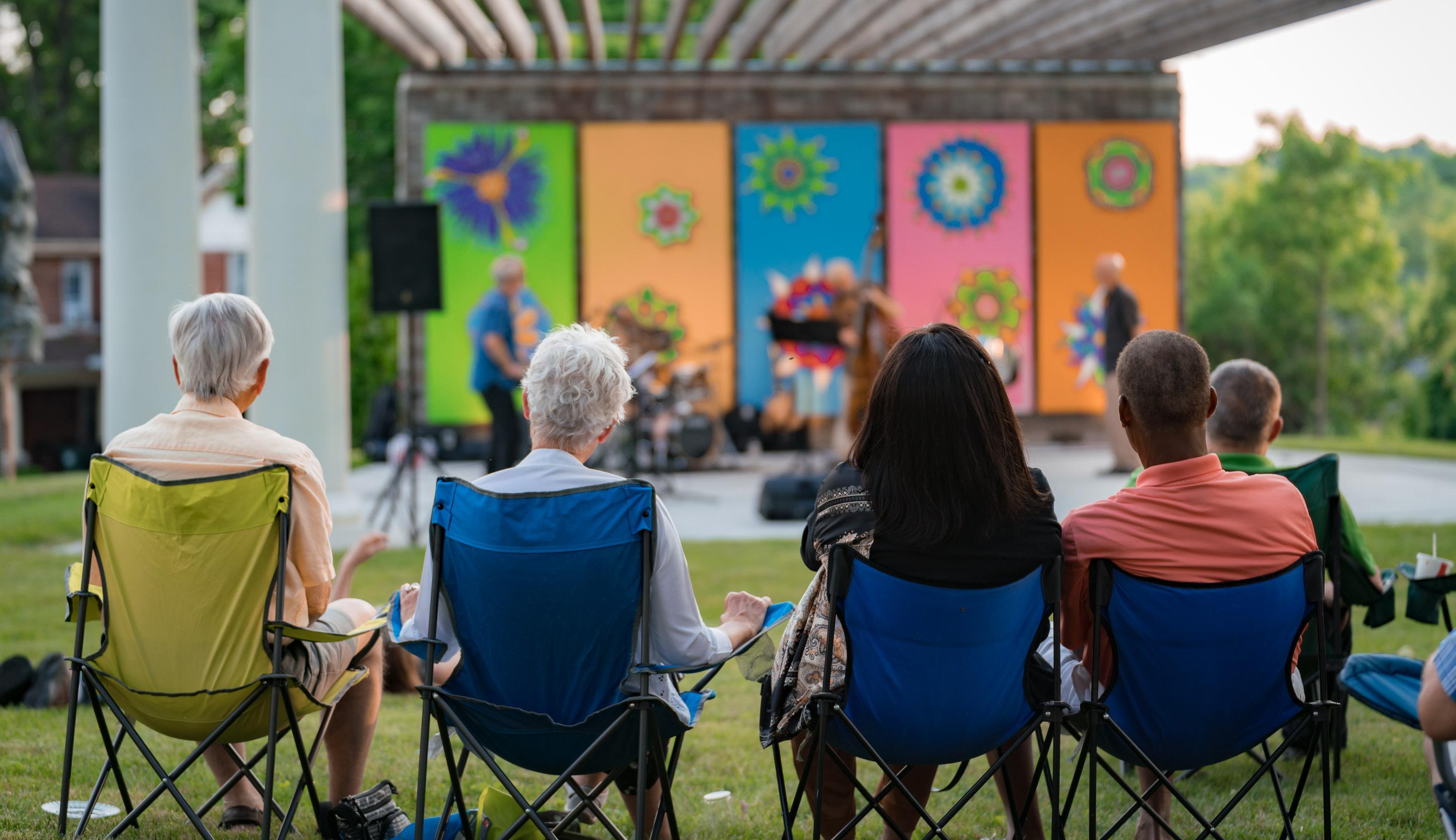
The study of community well-being is an emerging one, so there is not one standard definition. Some public health researchers have developed three fundamental principles that provide a framework for understanding community well-being, which are:
Connectedness – connection is fostered by strong social networks that offer support, trust, harmony, civic engagement, and democratic participation
Livability – a livable community is supported by physical and social infrastructure, including housing, transportation, education, parks and recreation, human services, public safety, and arts and culture
Equity – an equitable community is supported by values of diversity, social justice, and individual empowerment where people are treated fairly, have the ability to meet their basic needs, and have equal opportunity to reach their full potential
Oxford already embodies many of these facets of community well-being. As the city looks forward to its future, there is opportunity to focus more intentionally on policies, programs, and services that advance these values for all residents.
At the second Public Input Meeting, community members shared ideas for community well-being in Oxford’s future. The following are top themes from the responses:
• There is a strong need for expanded mental health and social services in the community
• People want to celebrate the diverse cultures that are represented in the Oxford community
• People expressed a need for expanded education programs for pre-K and lifelong learning
• People want to celebrate and build local food culture
• People want to be mindful of and recognize the needs of marginalized and vulnerable members of the community
• There is a need for improved promotion of and access to existing community services and assets
• People want Oxford to be more family-friendly
All of these sentiments and the others shared throughout the process directly informed the community well-being recommendations presented in this section.
With community well-being as a new topic for this comprehensive plan, there are no predetermined metrics by which to measure it for Oxford. The Community Profile at the beginning of the plan (see p. 16) and the graphics below help to paint a picture of how the community is faring. As shown in the pie chart below, 12% of Oxford households have one or more people living with a disability. Often, people with disabilities require more specialized care and community services. The graph at the bottom of the page depicts the percentage of Oxford residents who were born outside of the United States, which is significantly higher than that of Butler County and Ohio. This confirms one aspect of diversity in Oxford and it also points to the need for information to be accessible to residents with limited English proficiency.
Source: ACS 5-Year Estimate (2020) Foreign-Born Population
households have 1+ persons with a disability
Source: ACS 5-Year Estimate (2020)
The median household income in Oxford is a little more than $30,000 per year, which is 56% less than the median household income of Butler County at $69,023. When evaluated locally by census block group, some disparities appear, as depicted in the map above. The lower incomes in the Mile Square are to be expected due to the prevalence of students who live there. Additionally, the railroad is both a physical and social barrier, separating higher income areas around the Country Club to the south of the railroad with the manufactured home community and apartment complexes north of the railroad.
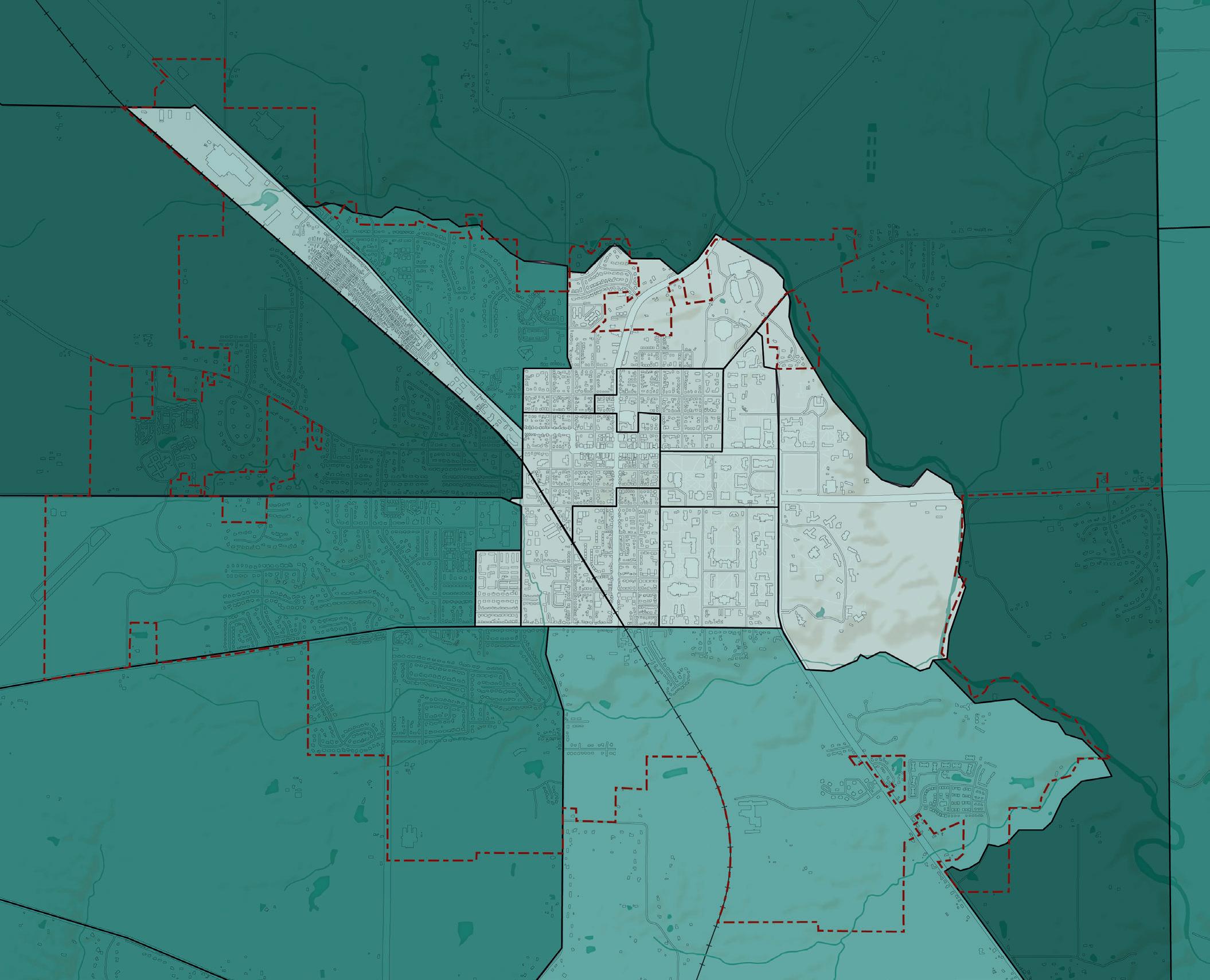

The Oxford community is highly engaged and dedicated to serving others. A number of social service providers, community organizations, and non-profit organizations exist in the community. The presence of these entities contributes to greater community well-being and a high quality of life. An inventory of these organizations can be found in the table below.
Age-Friendly Oxford A community improvement initiative involving a network of partners working to create livability in the Oxford, Ohio and Oxford Township area. Their work is based on the World Health Organization’s (WHO) Global Age-Friendly Cities Project and AARP’s U.S. Network of Age-Friendly States and Communities.
Coalition for a Healthy Community - Oxford Area
An action-oriented community collaboration that identifies and raises awareness of community issues.
Enjoy Oxford Oxford’s local visitors bureau and destination development organization.
Greater Oxford Community Foundation Works to improve, enhance, and sustain the quality of life in the Greater Oxford area by awarding grants and scholarships for programs and projects that benefit the citizens of the community.
Oxford Area Homeless Alliance An advocacy organization for various initiatives, such as tiny homes for people experiencing homelessness.
Oxford Area PFLAG Serves the community through education, support, and advocacy for families, allies, and people who are LGBTQ.
Oxford Chapter League of Women Voters A nonpartisan, grassroots organization working to protect and expand voting rights and ensure everyone is represented in our democracy.
Oxford Chamber of Commerce A member-focused professional business association and community resource with the goal of providing value to chamber members as well as the community.
Oxford Chapter of NAACP Promotes civil rights and social justice at the local level, in Oxford, Ohio, and the Talawanda School District.
Oxford Community Arts Center A local organization dedicated to enriching the lives of the community by providing a diverse array of cultural and arts programming.
Oxford Farmers’ Market Connects the community to fresh, local, and seasonal goods, as well as educationg the public about the nutritional benefits of eating fresh foods.
Oxford Free Clinic Enables area residents to follow their prescribed course of treatment when uninsured or unemployed.
Oxford Seniors
A multi-service senior center that provides adult day care services, health screenings, transportation, hosts arts and culture events for seniors, and provides meals to the elder community.
People United for Self Help (PUSH)
ShareFest
The Family Resource Center (FRC)
Provides assistance for essential repairs to eligible homeowners who, without such assistance, would be unable to make the repairs necessary for them to remain in their homes.
A service and environmental nonprofit corporation dedicated to the collection and redistribution of items donated by Miami University students and the Oxford community at the end of the academic year. Collected items benefit residents in need and social service agencies throughout the region.
Strives to create a safe and healthy community by advocating for those in need and connecting them to resources and services.
Three Valley Conservation Trust An organization focused on conserving natural habitats, waterways, and agricultural lands in Southwestern Ohio, for the benefit of present and future generations.
Talawanda Oxford Pantry and Social Services (TOPSS)
A choice pantry which functions like a grocery store, co-located within FRC.
C1. Provide year-round community programming.
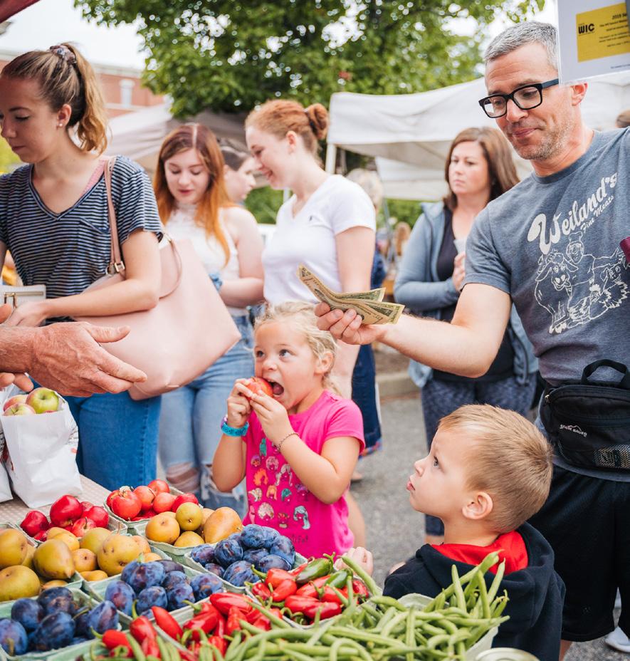
C1-A1. Support events that promote culture, health, wellness, and active living. Oxford already offers a wide variety of events for visitors and residents to enjoy, such as Red Brick Fridays, seasonal festivals, performances of music, dance, and theater, and much more. Continuing to grow and support these events that encourage people to gather and explore the City will ensure that Oxford remains a socially and physically healthy community.

C1-A2. Celebrate and build local food cultures through regular events and programs. Weekly farmers markets, local restaurants, and cultural festivities in Oxford all present the community with opportunities to continue to engage with how their food is grown and prepared. These events bring people together to introduce and celebrate different foods and cuisines as a means of promoting diversity and togetherness in the community. Events and programs which address food insecurity, such as Oxford Empty Bowls, should be supported as well.
C2. Expand and improve access to community and social services.
C2-A1. Ensure adequate year-round childcare services. Currently, only a few childcare facilities exist within Oxford: Mini University at Miami University’s campus, Amy’s Day Care on Stillwell Beckett Road, and a home-based daycare off of West Chestnut Street and Clover Circle. This leaves families in Oxford with limited options for childcare, especially since Mini University only offers care to school-aged children during the summer. Working parents need expanded childcare services in order to prosper in Oxford. The City should focus on growing childcare services in the community by either expanding the existing day care centers or attracting new facilities.
C2-A2. Ensure adequate elder care and in-home services for agingin-place. Oxford is a member of the AARP Network of Age-Friendly Communities, and the City has a corresponding community improvement initiative called Age-Friendly Oxford. The initiative focuses on creating livability in Oxford by supporting aging-in-place services and improving age-friendly programming in the City. Expanding Oxford’s offerings of continuing care facilities and in-home aid services will ensure the aging population can continue to thrive in the City.
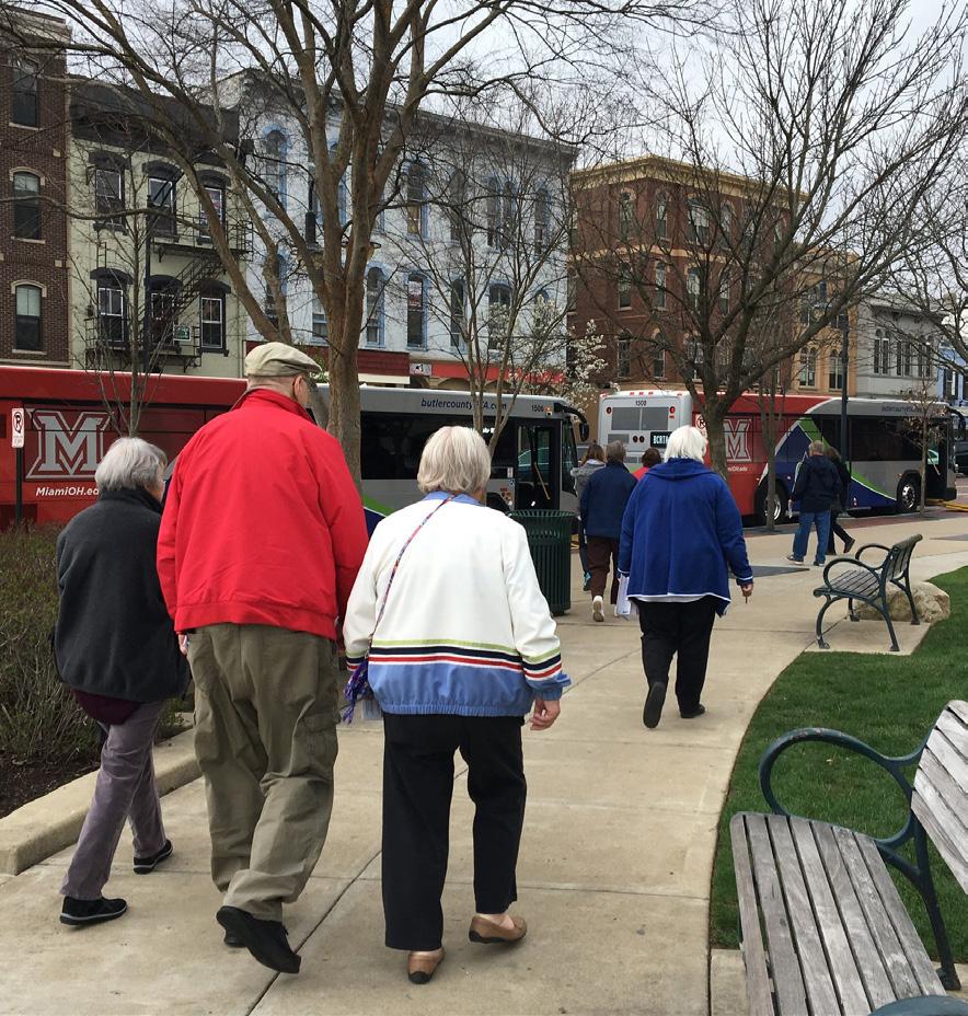 UniDiversity Festival (credit: Enjoy Oxford)
Oxford Farmers Market (credit: Enjoy Oxford)
C2-A3. Expand the capacity of the Oxford Family Resource Center. The Family Resource Center (FRC) is an invaluable asset and resource that helps community members in need through emergency financial assistance, rent assistance, eviction help, homeless services, referrals to other agencies, and other services. Due to capacity, the FRC has limited hours to help people access these services. The City and community should work to identify grants or other funding sources that could help to expand their capacity so they can serve more people and fulfill its mission.
C2-A4. Develop multiple ways for residents to provide anonymous feedback and ideas to the City. To act on Oxford’s value of government transparency, the City should create digital and analog pathways for anonymous constructive feedback or comments.
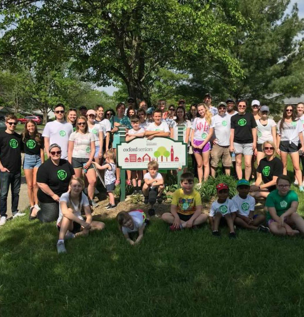
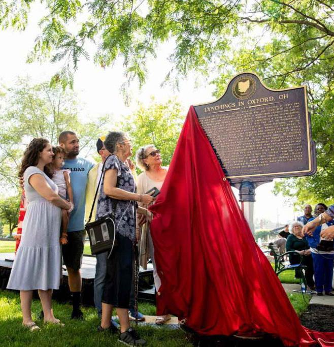
C2-A5. Encourage collective memory work by working on cultural and historic development. Collective memory work is a method of research, learning, and reflection that seeks to understand how groups of people or cultures remember their past. Through collective memory work, communities can reconcile past injustices to foster healing and progress as a society. Oxford has recently engaged in collective memory work through historic development when the Miami University Truth and Reconciliation Project partnered with the Equal Justice Initiative to install a narrative historic marker in 2021 in Martin Luther King Jr. Park. The marker describes racial violence that took place in Oxford and claimed the lives of two Black men—Simeon Garnet and Henry Corbin. This type of collective memory work is important for Oxford’s past, present, and future and should continue to be supported.
C2-A6. Develop goal-oriented funding model when providing financial resources to area non-profits. Goal-oriented funding allows the City to allocate funds more appropriately to local non-profit organizations based on the outcomes they are hoping to achieve. This model can help the City achieve its own goals through partnerships with these organizations and more directly contribute to different initiatives in the community via nonprofit assistance.
C2-A7. Expand the local presence of regional and countywide non-profits. Oxford’s non-profits provide wonderful community benefits and services, but their capacity can sometimes be limited due to volunteers, staffing, and funding. Oxford also tap into the resources available at the county and regional levels to see if there is potential to expand their services or presence in Oxford. Building stronger relationships with regional and national organizations can increase the reach and impact of non-profit organizations in Oxford.
Oxford Family Resource Center (credit: FRC) Historical Marker Memorializing Lynchings in Oxford (credit: Equal Justice Initiative) Oxford Seniors Center (credit: Oxford Seniors)C3. Support high quality health services for the region.
C3-A1. Increase access for all Oxford residents to the full continuum of services for mental health and substance use disorder. Mental health access was a major topic that arose during this planning process and the lack of available providers across the full continuum of care in the area. McCullough-Hyde Memorial Hospital, the Coalition for a Healthy Community - Oxford Area, and other community groups are aware of this issue and the need to improve mental health services for the Oxford community. For existing crisis care, the Butler County Crisis Support Team works with local public safety personnel in Oxford and provides a help line for mental health crises. Oxford can improve access to these services in a variety of ways including training the City’s public safety staff on crisis de-escalation methods, establishing a City team for crisis support, or deepening connections with the Butler County Crisis Support Team to establish services specific to Oxford. Establishing a local committee or partnering with an organization focused on treating substance use disorder also broadens the community’s access to vital health services.
C3-A2. Explore community paramedicine as a model for improving nonurgent healthcare delivery. According to the Rural Health Information Hub, community paramedicine is a new model of healthcare, which allows paramedics and emergency medical technicians (EMTs) to operate in an expanded capacity, assisting with public health, primary healthcare, and preventative services to underserved populations in the community. This could include connecting patients with other healthcare providers, completing post hospital follow-up care, integrating services with other healthcare providers, providing education and wellness programs, or providing other services not available elsewhere in the community. An example of this model can be seen in the call-out to the right.
C3-A3. Increase access for geriatric care for older adults in Oxford. Elder adults in Oxford who may require more robust care as they age need adequate access to in-home care as well as continuing care and nursing home facilities. Currently, The Knolls of Oxford is the community’s only continuing care retirement facility which provides a variety of arrangements from independent living to skilled nursing. Additionally, Oxford Seniors, Inc. is a multi-service senior center that provides adult day care services, health screenings, transportation, hosts arts and culture events for seniors and provides meals to the elder community.
Focus Hilliard | Hilliard, OH
Focus Hillard is a community paramedicine project launched in 2016 by the City of Hillard and Norwich Township Fire Department that encompasses all the department’s non-emergency duties. The goal of the project is to reduce unneeded hospital visits and free up first responders to more dire situations, as well as providing interactive opportunities that positively influence residents’ quality of life.
Firefighters, police officers, and EMTs often refer residents to the project through daily interactions. These networks help meet shortterm needs but are also aimed at linking residents with long-term resources such as occupational therapy, medical equipment, Meals on Wheels, and transportation with Hillard Express.

Focus Hillard offers programs tailored to meet resident’s needs, including a new parent program, car seat installation, CPR/AED Education, fire and home safety education, active shooter event survival training, in-home social care and integrated EMS program, a specialized care registry, and an outreach engagement for new residents. They now also partner with the National Church Residences and serve about 100 residents per year.
Sources: City of Hilliard, OH; Norwich Township ,OH
C4. Provide high quality, coordinated public safety services.
C4-A1. Coordinate public safety needs with local partners. Multiple public safety providers serve the greater Oxford community, including City of Oxford Police Division and Fire Department, Oxford Township Police, Miami University Police Department, and Butler County Sheriff’s Office. All of these agencies operate within different jurisdictions. To provide seamless and efficient public safety services, these distinct agencies should communicate with one another and coordinate efforts wherever possible.
C4-A2. Ensure public safety staff have access to appropriate eduction and training. Non-profits and other local organizations may be able to provide education and training opportunities for City staff. This can include training related to cultural competency; implicit bias; mental health crises; and diversity, equity, and inclusion.

C4-A3. Decrease emergency calls by implementing prevention programs. Community paramedicine is just one way that communities with limited resources can decrease the number of emergency calls and provide a more efficient, cost-effective way of getting people the care they need. Other methods of prevention for a wide range of emergency calls should be explored to reduce the strain on all emergency services. These other methods may include local task forces of public safety personnel, educational programs for citizens, or training sessions for community safety officers. Barriers to accessibility, including but not limited to technological barriers, visual or hearing acuity, etc., should be considered when formulating methods of delivering public safety information, including during emergencies.
C4-A4. Consider impact on public safety when making land use decisions. Any changes in land use within the City can have rippling effects on public safety and other factors which may negatively impact the community in the long run. The City and other jurisdictions must consider how a change in land use may put a strain on existing public safety services and degrade service quality.
City of Oxford Police Officers (source: Enjoy Oxford) Miami U. Police Officer (credit: Scott Kissell)C4-A5. Update Emergency Operations Plan for disaster preparedness and community resiliency. The City currently uses NIXLE to send out text and email alerts to residents related to weather, road closures, or other public safety announcements. An updated Emergency Operations Plan made available on the City’s website can help educate community members on appropriate procedures for various emergencies and improve overall preparedness in Oxford.
C4-A6. Review public facility needs and plan for repair, replacement, or expansion. This could be improvements to City fire, EMS, police, or other public service structures and facilities. Ensure these improvements are included in the CIP. This is an important ongoing step to maintaining a safe and healthy community.
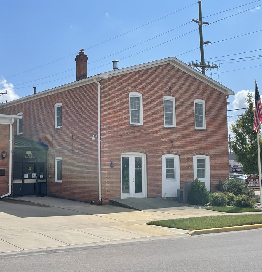
C4-A7. Review effectiveness of policies surrounding minor offenses and violations. Determine whether these policies need to be revised in order to better serve the community in the future.
C4-A8. Develop community education programming around key public safety topics. Hosting classes, workshops, or other educational opportunities for the community to learn about public safety makes for a more informed and prepared population. These educational opportunities may also contribute to a reduction in emergency calls.
C5. Foster a diverse, inclusive, and equitable community.

C5-A1. Provide information about community issues, programs, services, and activities in a way that is accessible to limited English proficiency residents. Hiring bilingual staff or engaging representatives of different communities who can translate information will make these issues and events more accessible to all members of the Oxford community and create a more inclusive environment.
C5-A2. Host events and programs that recognize and celebrate the community’s social and cultural diversity. Some events and programs like this already exist, such as Miami University’s various cultural events with a presence on campus. These events, whether they be on-campus or off-campus and especially when supported by the City of Oxford, create the opportunity for all community members to learn about the local cultures that exist in the city. Additionally, celebrating the various cultures found in Oxford allows these diverse communities to feel recognized and welcomed to the broader community.
911 Alternative Response (credit: Tampa Bay Times) Myaamia Center (credit: Miami U.)C5-A3. Establish regular communication and consultation with staff and researchers at Miami University offices and departments on key community issues. Initiatives at Miami University contribute to collective knowledge, research, and resources within the community on diversity, equity, and inclusion topics. The City should utilize these invaluable resources that exist in Oxford to work on fostering a more inclusive and welcoming community for all residents. This could include working with staff and researchers at the Miami University Office of Institutional Diversity & Inclusion, Office of International Student and Scholar Services, and the Myaamia Center to understand how to support Oxford’s diverse population and advance equity and inclusion across the community.
C5-A4. Expand the role of the Civil Rights Commission to incorporate diversity, equity, and inclusion initiatives. Oxford’s Civil Rights Commission is currently charged with the responsibility of investigating situations involving potential discriminatory practices or prejudice that could deprive community members of their civil rights. This mission should continue, but the commission’s role could also expand to include broader discourse related to diversity, equity, and inclusion. In this expanded role, the commission could be a forum for ideas and recommendations to foster and sustain a community where all feel welcome. A case study found to the right describes a similar committee structure and role in a peer community.
In 2022 the City of Irvine instituted their Diversity, Equity, and Inclusion (DEI) standing committee. This group of five members and two at-large members provide input on the needs of the community, and advise on business, community affairs, policies, hiring practices, and culture.
The committee’s workforce diversity initiative focused their outreach on limited English proficiency residents by placing nearly 3,000 multicultural and multilingual ads among diverse organizations, in multicultural productions, and on social media.
To utilize their existing resources, the DEI committee partnered with the Irvine Police Department in the creation of an online hate crime and hate incident reporting portal. The multilingual portal was used to report 14 hate crimes and 77 hate incidents in the community. They also held community events focused on addressing hate crimes and incidents that reached nearly 5,000 residents.
Source: City of Irvine, CA
Utilities help cities to function properly, and their availability is essential for Oxford’s present and future growth. Utilities include the provision of water, wastewater disposal, stormwater management, electricity, natural gas, and telecommunications. Utility improvements should be made with a clear understanding of implications on land use and other topics in this plan.
This section briefly describes existing conditions related to utilities in Oxford and sets forth recommendations that ensure robust, accessible, and high-quality utilities and infrastructure for the future.
Community comments
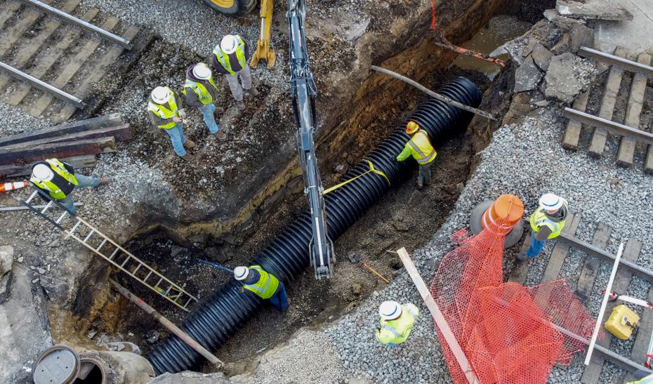
The City of Oxford provides water, sewer, trash, and recycling services to all Oxford residents. All other utilities such as gas, electricity, and internet are provided by external providers. The following is an overview of utilities in Oxford:
The City provides a constant water supply for domestic and commercial users. Monthly monitoring of the City’s drinking water is conducted and released in an annual Drinking Water Quality Report. The City’s Water Distribution Division is responsible for installing new water taps, repairing water main leaks, fire hydrant maintenance, and protecting water transmission mains. The Water Treatment Plant is responsible for safe drinking water production, storage tank operation, water properties and facilities maintenance, water meter reading, and other water services.
Oxford’s Wastewater Collection Division regularly maintains, cleans, and inspects the public sewer lines. Residents can buy portable irrigation meters and receive credit for water used for outdoor activities. The meter can be read once a year at the Utility Department for credit against the sewer charges on the resident’s account.
Rumpke is Oxford’s recycling vendor and non-dumpster and commercial trash vendor. The city charges for this service. Other recycling opportunities include Butler County Recycling & Solid Waste District for recycling of electronics, freon appliances, and household hazardous waste, and Cohen Recycling for appliances, batteries, computers, light fixtures, and more.
Butler County is 26th in the state for renewable electricity production and experienced a 4.20% decrease in the use of non-renewable fuel sources for electricity generation in the last year. Duke Energy Ohio is the largest electricity provider in the county by total customers.
According to the Ohio Department of Development, of the 466 square miles in Butler County, 79 square miles are underserviced for internet. This includes 5% of households that do not have access to the minimum standard 25/3 Mbps (megabits per second).
 Water Treatment Plant (credit: Oxford Observer)
Utility Work in Oxford
Urban Service Boundary Parks & Green Space Streams & Ponds Buildings Roadways
The urban service boundary depicted on the map above, which was defined during the previous comprehensive plan effort, represents territory where the City could have potentially expanded its utility service systems since 2008. Some annexations have occurred post-2008 outside of the urban service boundary. While the initial adoption of this new plan does not include an update to the urban service boundary, this plan does recommend the boundary be revisited and redrawn sometime in the near future. The geographic extent of the boundary should be largely determined by topography and infrastructure limitations. Once refined, the City could better solidify the use of this boundary as a means to manage growth and lessen urban sprawl.
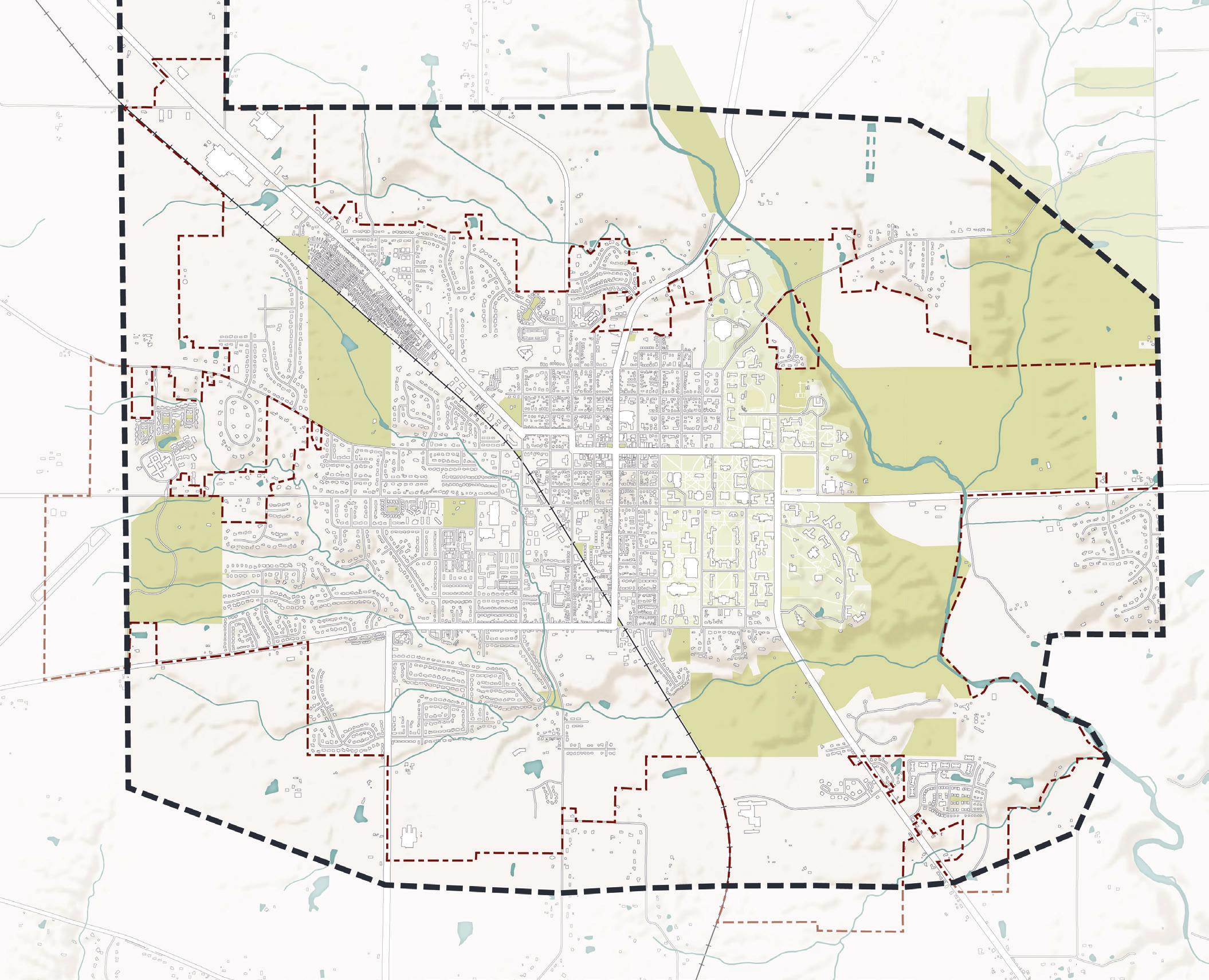
U1. Maintain and improve high quality public services.
U1-A1. Maximize usage of existing utilities by promoting infill and redevelopment opportunities. Infill development refers to development that occurs on once empty or dilapidated lots in an area already served by infrastructure, utilities, and public services. This type of development stands in contrast to greenfield development, which typically occurs on previously undeveloped parcels, often former agricultural land, in suburban or rural locations with limited existing infrastructure and services. The former type of development is more environmentally and economically sustainable for a community and should be favored over greenfield development in Oxford. This recommendation is also included in L3-A1.
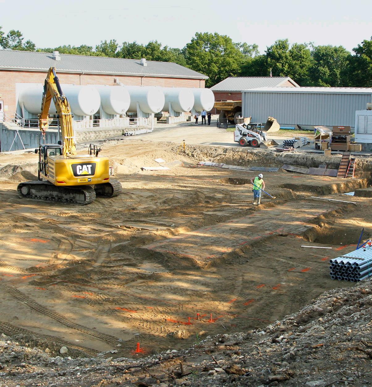
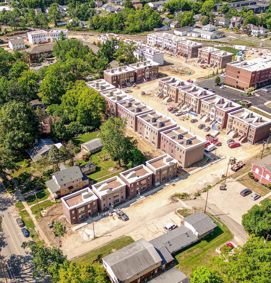
U1-A2. Integrate utility upgrade and extension decisions with annexation, future land use, and development decisions. This recommendation would be facilitated by the implementation of L4-A2, which calls for the adoption of a public facilities ordinance, which would more formally link public infrastructure and services to growth in Oxford and beyond. This type of ordinance is a tool for growth management to ensure that public facilities like schools, roads, utilities, and other infrastructure can accommodate additional development. This ordinance can also be a tool to direct growth to areas where adequate infrastructure already exists, in accordance with smart growth principles.

U1-A3. Promote the co-location of utilities. Many utility poles are privately owned by utility companies and the City has limited authority over the equipment placed on private utility poles. To preserve community character and aesthetics, the City should encourage utility providers to co-locate or install new equipment on an existing support structure or utility pole rather than installing a new pole. This policy can apply to all new utility equipment, including small cell wireless facilities.
U1-A4. Conduct a study to determine the impact of building height increases on Oxford’s utility systems. The recommendation in L1-A2 suggests Oxford explore increasing building height in targeted locations. The impacts of this change in land use policy would need to be studied further to mitigate any negative consequences, especially related to utility systems and service. Oxford’s capacity for increased utility demand should also be studied related to this land use policy.
U1-A5. Refine the urban service boundary. Once better studied and refined, an urban service boundary could become a more formal representation of the area where the City of Oxford is willing and able to provide utilities and other public services. The geographic extent of this boundary would largely be defined by existing topography, though it could also be further constrained in an effort to curtail suburban sprawl. This boundary has not been updated since the adoption of the 2008 Comprehensive Plan. The boundary should be revisited given the goals and recommendations in this plan. The goal of preventing suburban sprawl should still be a strong consideration when refining the boundary, but the City should update the boundary to include all areas within current City limits.
Underground Fiber Network (credit: Telstra) Infill DevelopmentU1-A6. Work to expand broadband access in the region and ensure Oxford’s broadband technology infrastructure is future-ready for higher speeds. Internet is now considered a public utility just the same as electricity or water. The COVID-19 pandemic highlighted our society’s reliance on high-speed internet access for school and work. Federal and state governments have developed grants, funding, and other assistance intended to expand broadband access to more people. It’s important to note that the Federal Communications Commission (FCC) defines broadband as a minimum of 25 megabits per second (Mbps) for download speeds and 3 Mbps for upload speeds. According to BroadbandOhio, the State of Ohio agency dedicated to broadband access in the state, 5% or 156,648 households in Butler County don’t have access to broadband internet. The City should identify federal, state, and county programs or organizations to partner with to expand broadband access to residents and businesses in the Oxford area.
U1-A7. Improve transparency and opportunity for public feedback on the Capital Improvement Plan (CIP), including utility extensions. The CIP process is extremely important as it guides how the City of Oxford will spend tax revenues over the next five years on capital or non-operating expenses. It is revisited on an annual basis at which point the City may shift priorities, add, or remove projects. Many of the line items in the CIP pertain to utility and infrastructure projects. Currently, the CIP is not substantially revealed to the public until it makes its way to Council in final draft form for consideration. Efforts should be made so the public can become more aware of the annual process and be provided an opportunity to help shape the CIP as it is being developed. If the public has an opportunity to share feedback on top priorities, this can help City leaders determine which projects to include in the CIP proposed to Council every year.
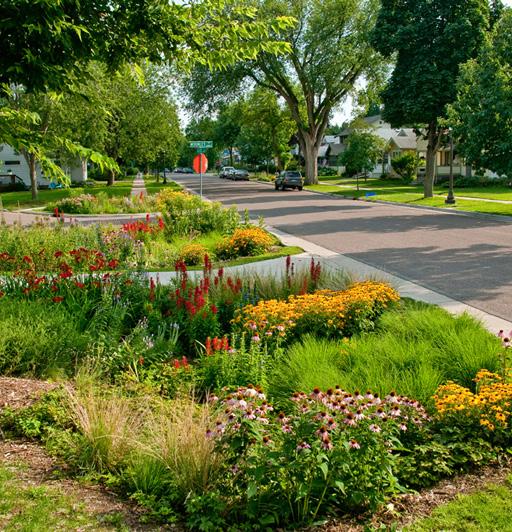
U1-A8. Implement water softening for the public potable water supply. Oxford’s water is deemed “hard” due to a high concentration of minerals. While it is still safe and potable many residents share concerns about damage to plumbing and limescale buildup. Over the past several years, the City has studied potential water softening techniques that could be utilized at the water treatment plant. The next step in this process is to complete a pilot study to test the treatment deemed to be most effective for Oxford. Then, the City can move forward with installation.
U1-A9. Replace lead water pipes for public health and safety. Lead exposure can cause serious health problems, especially for pregnant women and young children, and can have negative health outcomes from long-term exposure. Lead in drinking water is primarily from materials and components associated with water service lines and home plumbing, found mostly in older homes. Lead pipes are still present in some homes in the community and the City has been working with property owners to identify and replace them. These efforts are funded through the CIP and should continue for the protection of public health and safety.
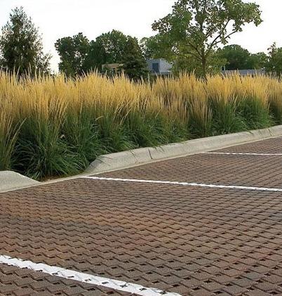
 Lead Pipe Replacement (credit: Cleveland.com)
Permeable Pavement (credit: Unilock)
U2. Manage stormwater runoff effectively.
U2-A1. Promote Low Impact Development (LID) techniques, such as rain barrels and bioswales, to reduce runoff at the source. According to the U.S. EPA, low impact development is an approach to development that utilizes natural processes to manage stormwater as close to its source as possible. Often these approaches will include green infrastructure, which should be integrated into or immediately adjacent to a development.
U2-A2. Establish a revenue source for the enterprise fund for stormwater improvements and mitigation. The City of Oxford has already established a stormwater enterprise fund. This fund can collect fees exclusively dedicated to recover the cost from properties to safely manage stormwater coming off their land. While the fund has been created, Oxford does not have a dedicated funding source to generate revenues for the stormwater enterprise fund. In Ohio, these funds are generated through a utility fee in the same manner as other publicly provided utilities, like water and sewer. Stormwater enterprise funds have several benefits to communities and residents:
• They create a dedicated and sustainable funding mechanism to meet federal, state, and local regulatory requirements to improve water quality;
• They lessen the risks and frequency of flooding on private property; and
• They advance community resiliency for a future with more significant rainfall events.
U2-A3. Adopt stream corridor protections and regulations. Oxford should protect the health of its streams and riparian corridors by developing regulations for development setbacks from streams. These regulations should define the width of the setbacks and permitted and prohibited uses and activities within the setback area. An example of similar regulations is described in more detail in the case study to the right.
CASE STUDY Stream Corridor Protection Zone (SCPZ) | Columbus, OH
A Stream Corridor Protection Zone (SCPZ), also called a riparian setback boundary, is a protection zone surrounding a stream and the riparian area along a stream. The City of Columbus defines the benefits of these zones as allowing the natural, lateral flow of water courses, providing area for flood conveyance, protecting water quality, and preventing structures from being impacted by natural streambank erosion.
The City sets specific standards for the length and width of their SCPZ zones. In order to protect the area, only passive uses such as hiking and fishing are permitted, along with maintenance activities and public utility crossings. Prohibited activities include agriculture, industry, mowing, dumping of trash, and other destructive activities. Prohibited structures include fences, billboards, parking lots, and electric and utility lines that run parallel to the stream.
The boundaries and rules of the SCPZ are listed in the Stormwater Drainage Manual and adopted by the Director of Public Utilities, who is granted authority in Columbus City Code 1145.11, 1145.81, and 1149.04. Language prohibiting the construction of facilities in a SCPZ is often on development plats or reflected in the deeds of SCPZ-adjacent properties. SCPZs can also be placed in preservation easements.
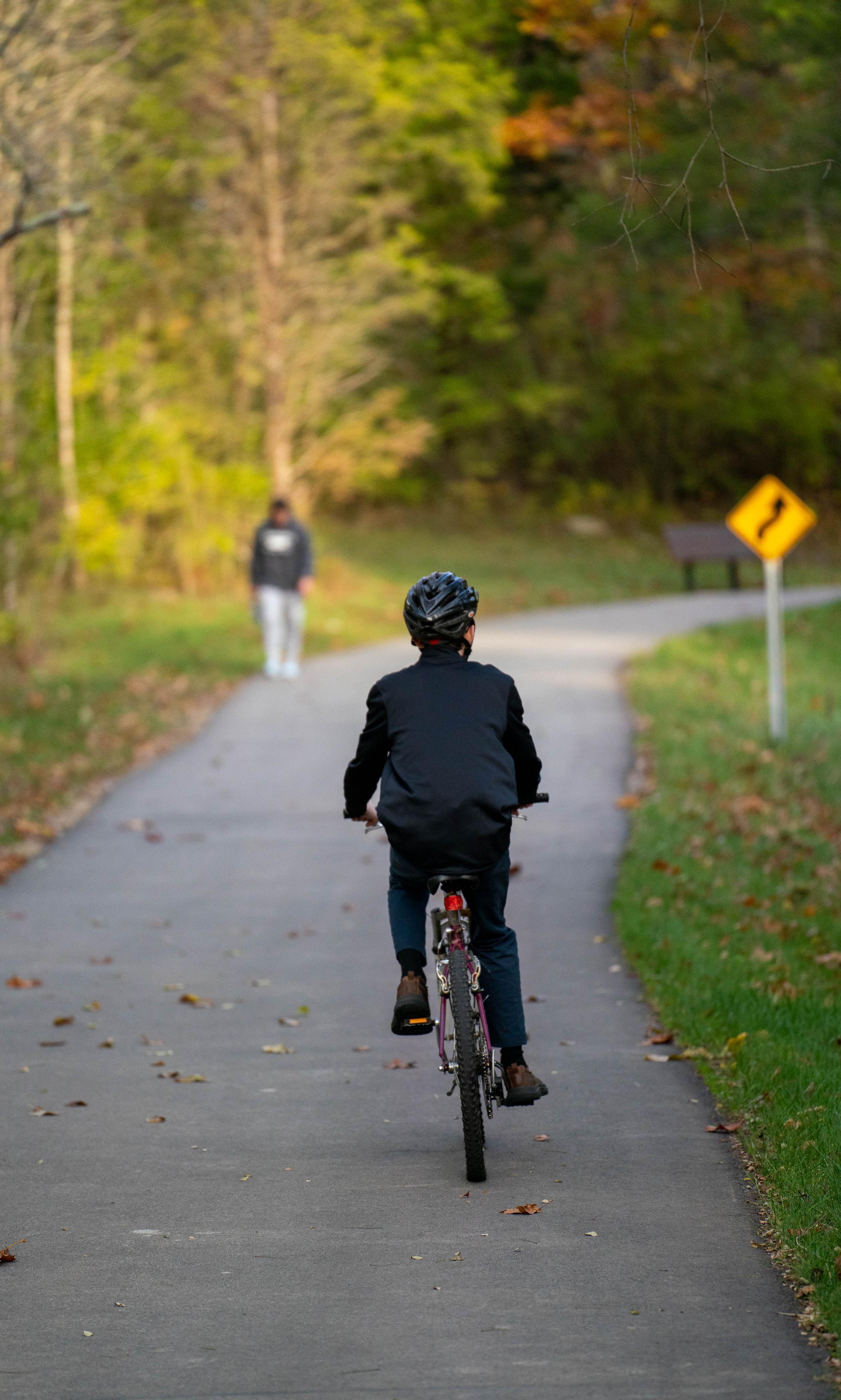
Planning does not end with the adoption of the Oxford Tomorrow Comprehensive Plan. Rather, the plan must become operationalized by the City of Oxford and community partners as a key reference document for decision-making. Ultimately, the outcomes of this plan will result from a community-wide effort. This section outlines the recommended approach to using, monitoring, and updating the plan on a regular basis.
The plan should be referenced as part of regular operations as public and private decisions are made concerning land use, development, capital improvements, economic development, and other key topics. Key City staff familiar with the comprehensive plan can introduce other department staff, boards, and commissions to the document and train them on how best to use the plan. The plan should also be aligned with other City of Oxford planning efforts, including capital improvement planning, strategic planning, and focus area planning. Additionally, the City should collaborate and hold planning workshops with key stakeholders, such as Miami University, to ensure that efforts and goals are aligned.
The plan can also be made more accessible to the general public by utilizing the plan website, oxfordtomorrow.org, to upload the adopted plan document, translate plan recommendations into an interactive format, and post updates about plan implementation.

In addition to being referenced periodically by departments, outside partners, and the general public, the comprehensive plan should become an integral part of the annual budgeting cycle with the Oxford City Council. The Council follows a semi-regular schedule every year to revisit and reaffirm top goals and priorities, direct the City Manager and staff, and react to proposed capital improvement and operational budgets. To this end, the summary matrix of the comprehensive plan should be frequently referenced and updated as progress is made every year, becoming a “living expression” of planned and undertaken work as well as current values and priorities. Below is an outline of the typical Council budgeting cycle conducted every year and how to integrate the comprehensive plan into the process: Council Retreat – The Retreat occurs every year. This is a time for Council members to come together with the City Manager and other key City staff to explore what projects, initiatives, and values the City organization should focus on in the following year ahead. In past years, a professional facilitator has been hired to oversee the process of producing a final array of ideas and goals. Rather than starting from scratch each year, the comprehensive plan’s recommendations in the summary matrix can serve as a foundation for conversations to ensure the City remains aligned with its long-term goals each year.
Creation of Annual Objectives – Department heads will create annual objectives to work toward the goals outlined in the comprehensive plan. These objectives are a list of specific, measurable, achievable, relevant, and time bound (SMART) actions that staff will take each year to make progress toward city goals. Staff will seek Council and public input about prioritization of action items each year. Typically this will be done through survey tools that help establish public priorities for a given time period.
Capital Improvement Plan (CIP) – The CIP is a community planning tool used to coordinate the location, timing, and financing of capital improvements over a five-year period. The CIP itself is a working document, reviewed and updated annually to reflect changing community needs, priorities, and funding opportunities. Capital improvements include major, non-recurring physical expenditures, such as land, buildings, infrastructure, and equipment. CIP expenditures can also include one-time startup costs for other non-tangible items, such as computer software. The CIP process is initiated by the City Manager. The City Manager distributes a final CIP proposal to Council for consideration and approval.
Operating Budget – In contrast to one-time or large scale expenses reflected in the multi-year CIP, the operating budget addresses all other expenses which are incurred on a more continuous yearly basis to keep the City running effectively. This includes payroll and other ongoing maintenance expenses. Similar to the CIP preparation process, the preparation of the Operating Budget involves initial requests from Department Heads, followed by review by the City Manager and Finance Director, and then distribution of a final proposal to Council for review. After their review, Council will usually approve the Operating Budget in November.
This comprehensive plan is meant to serve as a foundation for other future and ongoing planning efforts that may come after in the years ahead:
Comprehensive Plan Supplements – The intent is for this plan to be agile enough that future planning efforts may follow so long as they do not contradict the vision, values, and goals of the broader comprehensive plan. It is recognized there will certainly be potential for additional plans or studies to be done with an aim to further clarify, embellish, or refine direction on particular elements or topics. These plans and studies have the potential to be formally recognized as supplements to the comprehensive plan. An ongoing example is Oxford’s Climate Action Plan, which is on track to be adopted in fulfillment of the City’s commitment to the Global Covenant of Mayors. Another example may be a Transportation Plan update.
Focus Area Plans – Smaller scale planning for focus areas identified in this plan, or other sub-areas of the city as may be later identified, can also be pursued following adoption of this plan. These types of plans can also become supplements to the comprehensive plan, serving as a long-range planning tool for a more limited geography within the Oxford community, which may be a particular corridor, district, or site. Such efforts should observe the comprehensive plan framework, while also taking a deeper dive into the granular details of a particular locale, often with a focus on improving conditions. These plans can propose development, infrastructure, or urban design solutions to help foster economic activity and improve community character, and could include cost estimates for the necessary investments to realize an expressed vision.
Regular review and monitoring of the plan recommendations will help to ensure implementation and tangible outcomes. Each year, staff will provide updates to Council on the progress toward their objectives that will lead to the achievement of comprehensive plan goals. Typically, these updates will occur twice each year, providing mid-year, and yearend updates. The year-end plan update should result in an annual progress report, ideally issued in sync with the annual Council Retreat, which can also be shared with the broader community through the City’s communication channels.
This plan is intended to be durable and thorough, while still providing flexibility for the City and community partners to implement the plan to the best of their ability. Despite this, a plan is a snapshot in time and as Oxford and the world changes, the plan will need to change to keep the community’s vision in mind.
Typically, major updates to a comprehensive plan should follow a ten- to fifteen-year cycle, in response to demographic shifts, emerging topics and technologies, and changing circumstances affecting physical growth patterns. A major plan reboot should be a robust effort and engage many stakeholders and community members. Such an overhaul should also re-evaluate the community’s vision for the future and include an analysis of significant issues and trends that Oxford is facing at that moment in time. Major updates will require a recommendation from the Planning Commission, followed by adoption of an Ordinance by City Council.
In the period prior to the next overhaul of the comprehensive plan, more specialized planning efforts may occur and be adopted as formal components, or supplements, to the current plan. These efforts should involve at least some level of suitable public engagement, commensurate with the scale and significance of each effort. A more robust engagement strategy should be employed for larger planning projects, such as an update to the City’s transportation plans. Other efforts may include focus area, district, or corridor plans. Plan supplements shall require, at minimum, adoption by Ordinance of the Oxford City Council.
In the interest of preserving the agility of this planning document so that it becomes a living expression of the City’s endeavors, it is recognized that minor amendments to the plan may also periodically occur. These types of amendments should be limited to edits to plan actions in the summary matrix, or changes to the future land use map. These amendments may be made in response to new project or program ideas, changing circumstances or trends, or a unique economic or development opportunity. Amendments to the summary matrix shall require, at minimum, adoption of an Ordinance by City Council. In contrast, amendments to the future land use map shall first require a recommendation from the Planning Commission prior to Council considering adoption of an Ordinance. Annotations to denote progress on particular action items in the matrix, or establishing metrics to evaluate progress, shall not require formal Council action.
The graphic below depicts the cyclical nature of how the plan will be used by City Council, City staff, and the community to influence and inform other public processes. Additionally, this graphic describes how often plan progress should be recorded and communicated.
Annual year-end update to Council and the community on tangible outcomes from implementation of the plan
Comprehensive Plan Progress Report
Progress report and update to Council on tangible outcomes from implementation of the plan
Council Retreat
Annual retreat to focus efforts and establish short-term objectives for the year ahead
Staff Research & Budget Design City staff research into and budgeting for plan priorities and recommendations
City Council adoption of the City budget for the next fiscal year, including funding allocated for implementation of plan recommendations
Opportunity for public input to affirm or shift priorities
The table on the following pages is a compilation of the plan goals, objectives, and actions set forth in previous chapters. This matrix connects each action with the City’s role as well as any potential partners required for implementation. The legend to the right provides a key for the various levels of information displayed in the matrix.
It is recognized that the City cannot always be directly responsible for achieving every recommendation specified in this plan. In a lot of cases, there will be financial, legal, or other constraints that would prevent the City from achieving a specific action on its own. Some actions are significant enough that they involve buy-in or collaboration from multiple partners.
Therefore, the following two categories will be assigned to each action so that the imagined extent of the City’s role can be better understood:
Control – Actions the City can directly carry out or integrate into its affairs.
Influence – Actions the City desires to achieve or make progress on, but cannot do so on its own without outside involvement from other agencies or partners, or where decision making by private actors largely drives the outcome.
The following two distinctions will be assigned to each action to identify whether they are more concrete and time-bound actions or general, ongoing policy directives.
Specific – Actions that are time-bound projects or initiatives that will eventually be completed.
Ongoing – Actions that are ongoing, general policy directives and do not have an end date.
The priority indicator is used to call special attention to recommendations identified as being very important to the community during the planning process.
AFO Age-Friendly Oxford
BCDD Butler County Dept. of Development
BCRTA Butler County Regional Transit Authority
BMHA Butler Metropolitan Housing Authority
CASC Climate Action Steering Committee
CIC Community Improvement Corporation
CRC Civil Rights Commission
EC Environmental Commission
EO Enjoy Oxford
FRC Family Resource Center
HAC Housing Advisory Commission
HAPC Historic and Architectural Preservation Commission
MHMH McCullough-Hyde Memorial Hospital
MU Miami University
OCAC Oxford Community Arts Center
OCC Oxford Chamber of Commerce
ODOT Ohio Department of Transportation
OKI Ohio-Kentucky-Indiana Regional Council of Governments
OPTAB Oxford Parking & Transportation Advisory Board
PACO Public Arts Commission of Oxford
PC Planning Commission
RB Recreation Board
SCRC Student/Community Relations Commission
SRTS Safe Routes to School
TSD Talawanda School District
Control Influence
The graphic below provides an overview on reading and understanding the components of the implementation matrix.
Section - Each section is a particular element or topic of the Comprehensive Plan as expressed in Chapter 3.
Goal Statement - The goal statement is an aspirational statement that describes a desired future or outcome. Each section has an accompanying goal statement.
Objective - An objective is a particular step to achieve a goal. Each objective is numbered according to the order in which it appears in its section (e.g. S1, S2, and so on).
Actions - Each action is numbered in relation to the objective to which it is contributing, followed by the order in which it appears in the plan (e.g. S1-A1, S1-A2, and so on).
City Role - The city role column indicates whether an action is directly within the purview of the City of Oxford or whether it is an action that the City can influence with the help of other partners.
Time Frame - The time frame column indicates whether an action is specific and time-bound or an ongoing policy directive.
Potential Partners - The organizations and groups listed in this column are City boards and commissions, institutions, or other community groups that can be involved in implementing the plan recommendations. Abbreviations are used in many cases and can be found in the legend on the previous page.
Priority - An action is designated as a priority if the community agreed that it very important and will help Oxford achieve its goals and vision. It should be noted Council may choose to shift priorities annually over time, in response to community desires and preferences.
Goal: A Sustainable Oxford S1 Reduce emissions towards neutrality by 2045 City Role Time Frame Potential Partners
S1-A1 Develop an energy plan to meet Oxford’s demand with renewables generated locally/regionally
CASC, EC
S1-A2 Promote incentives for on-site solar, geothermal, and wind for residential and commercial properties CASC, EC
S1-A3 Develop regulations and incentives to ensure electrification of new construction with high-efficiency space and water heating
S1-A4 Promote retrofitting of existing buildings with energy conservation and electrification
CASC, EC
CASC, EC
L1 Ensure future development and redevelopment contributes to an aesthetic, character, and quality that is uniquely Oxford
L1-A1 Favor traditional, urban neighborhood qualities over conventional, autooriented designs HAPC, PC
L1-A2 Explore increasing allowable building height in one or more targeted locations HAPC, PC
L1-A3 Modernize the Oxford Zoning Code to include a hybrid of use-based and formbased approaches to standards PC
L1-A4 Refine zoning districts to promote mixed-use and neighborhood-oriented commercial development PC
L1-A5 Update the Zoning Code’s Mile Square Design Standards for residential development PC
L1-A6 Develop design guidelines for residential and commercial development HAPC, PC
L2 Preserve and enhance the character of the built and natural environment
L2-A1 Ensure new developments include adequate green and open spaces PC
L2-A2 Promote preservation and creation of contiguous open space, aligning development with planned open space networks PC
L2-A3 Explore opportunities for expanded outdoor dining Business owners, CIC, OCC, PC
L2-A4 Create a Mile Square Master Plan MU, property owners
L2-A5 Inventory and recognize historic and contributing structures throughout the city HAPC, property owners
L2-A6 Improve signage and landscaping at major entry points into Oxford to refresh the gateway experience MU
L3 Promote development and redevelopment in targeted areas
City Role Time Frame Potential Partners
L3-A1 Favor infill development over physical expansion of districts as much as possible HAPC, PC
L3-A2 Encourage adaptive reuse in buildings of special architectural or historical value HAPC, PC
L3-A3 Promote transit-oriented development (TOD) around key transit nodes and corridors Amtrak, BCRTA, OPTAB
L3-A4 Develop an area plan for transit-oriented development for the S. Main/Chestnut Fields area Amtrak, BCRTA, OPTAB, PC
L3-A5 Designate a Pink Zone in a targeted location to encourage local entrepreneurship CIC, OCC, PC
L4 Coordinate with regional jurisdictions and partners to plan for future growth and development
L4-A1 Create a joint plan for land use & development with surrounding jurisdictions
L4-A2 Develop an annexation policy and adequate public facilities ordinance to ensure growth aligns with public goals
Oxford Twp., Milford Twp., BCDD
Oxford Twp., Milford Twp., BCDD
L4-A3 Coordinate regularly with University partners to plan for enrollment growth, student needs, and impact on community MU, ASPIRE
M1 Promote alternative modes of transportation
M1-A1 Ensure new private developments embrace Complete Streets principles and practices PC
M1-A2 Implement Complete Streets principles and practices in public infrastructure projects OPTAB
M1-A3 Expand bus and/or shuttle transportation options to provide service accessible within a 1/4 mile to all City residents BCRTA, OPTAB
M1-A4 Establish passenger rail service to/from Oxford Amtrak, CSX, OPTAB
M1-A5 Encourage commuter transit connections to/from other regional hubs BCRTA, Metro, OKI
M1-A6 Analyze public transit access and transportation costs for car dependent neighborhoods, with an emphasis on serving populations most in need HAC, OPTAB
M1-A7 Update policies for micromobility transportation Bird, Lime, OPTAB
M2 Facilitate the safe and efficient flow of traffic within and through the city
City Role Time Frame Potential Partners
M2-A1 Adopt a new Transportation Plan OPTAB, PC
M2-A2 Adopt Access Management Regulations to regulate curb cuts and intersections along major thoroughfares OPTAB, PC
M2-A3 Conduct a feasibility study for a grade-separated crossing over or under a railroad CSX, OPTAB
M2-A4 Research and recommend an alternate truck route to reduce truck traffic Uptown MU, BCDD, ODOT
M3 Foster an environment and a culture of active transportation City Role Time Frame Potential Partners
M3-A1 Treat pedestrian and cyclist mobility with equal importance to vehicular mobility
M3-A2 Expand the Oxford Area Trails system by completing the perimeter loop and linking to neighborhoods and commercial areas
M3-A3 Conduct a feasibility study for connections between the Oxford Area Trails system and business districts
M3-A4 Ensure sidewalks are cleared of snow
OPTAB, PC
Property owners, OKI, Tri-State Trails
M3-A5 Establish a green alley system in the Mile Square to create a network of shared, low-impact streets OPTAB
M3-A6 Reduce off-street parking minimums in certain areas of town OPTAB, PC
M3-A7 Update Typical Sections in the Subdivision Regulations to ensure high quality, complete streets OPTAB
M3-A8 Enable safe walking and biking to in-town schools through infrastructure improvements and programming in partnership with Talawanda School District
M3-A9 Become a designated Bicycle Friendly Community by the League of American Bicyclists
TSD, SRTS Coordinator
M3-A10 Encourage Mile Square student renters to utilize long-term parking facilities on campus MU
M3-A11 Construct or retrofit transportation infrastructure to meet standards in the Americans with Disabilities Act BCDD
M4 Ensure parking facilities Uptown are adequate and effective in meeting demand
M4-A1 Explore opportunities for shared parking agreements to boost available parking supply when needed MU, businesses, other institutions
M4-A2 Explore park and shuttle opportunities MU
M4-A3 Explore the feasibility of a parking authority or management entity
M4-A4 Determine need and plan for long-term parking solutions OPTAB
M4-A5 Create a plan for replacement of surface parking with structured parking OPTAB
H1 Expand housing options for all life stages
H1-A1 Update zoning regulations to increase density and promote a diversity of residential housing types and living arrangements PC
H1-A2 Update zoning regulations to expand allowance for accessory dwelling units (ADUs) HAC, PC
H1-A3 Identify areas of town which are appropriate for increased density allowance, housing diversity, and accessory dwelling units (ADUs) HAC, PC
H1-A4 Leverage land and other tangible assets to address housing supply gaps by boosting inventory
FRC, TOPSS
H1-A5 Support developments and programs addressing supportive and transitional housing BCDD, FRC
H1-A6 Reestablish a homeownership program to incentivize and assist University faculty and staff to secure housing in Oxford MU, HAC
H1-A7 Support opportunities to create housing dedicated to University alumni MU
H1-A8 Recognize and support the valuable service assisted living and senior living developments provide to the community Knolls of Oxford
H2 Ensure housing affordability and attainability for all income levels
H2-A1 Activate a non-profit entity devoted to expanding attainable housing opportunities
HAC
H2-A2 Create an ordinance to outlaw housing discrimination based on source of income HAC
H2-A3 Promote the Housing Choice Voucher Program Property managers, BMHA
H2-A4 Explore ways to incentivize the creation and maintenance of housing types and arrangements that fulfill community needs HAC
H2-A5 Partner with nonprofit organization(s) to provide education, counseling, and financial assistance to homebuyers or renters
FRC, BMHA, BCDD
H3 Protect existing naturally occurring affordable housing (NOAH)
City Role Time Frame Potential Partners
H3-A1 Identify existing NOAH areas and developments HAC
H3-A2 Promote retention of existing NOAH developments where conditions are safe for occupancy Property managers/ owners
H3-A3 Evaluate the impacts land use decisions can have on existing NOAH PC
H4 Maintain an adequate capacity of student housing
City Role Time Frame Potential Partners
H4-A1 Coordinate with University partners in monitoring anticipated changes in student housing demand MU
H4-A2 Identify areas of town which are appropriate to accommodate additional student housing HAC, MU, PC
E1 Attract new businesses and employment opportunities to diversify the local economy
City Role Time Frame Potential Partners
E1-A1 Foster a culture of service excellence in attracting new businesses and assisting new business startups OCC
E1-A2 Conduct a market study to determine Oxford’s key industries and sectors that can grow jobs
E1-A3 Develop an economic development strategic plan for Oxford EO, CIC, OCC
E1-A4 Develop a tax abatement program or other form of financial assistance for businesses that leads to high quality job growth CIC, OCC
E1-A5 Explore job creation as a result of Advanced Air Mobility programming and research MU, CVG
E2 Encourage entrepreneurship, innovation, and start-up businesses
City Role Time Frame Potential Partners
E2-A1 Support business startups and local entrepreneurship CIC, OCC
E2-A2 Encourage university spin-offs MU
E2-A3 Support the development of the College@Elm Innovation and Entrepreneurship Center MU
E2-A4 Identify potential locations for scalable commercial shell space OCC
E3 Support existing local businesses
E3-A1 Establish a Special Assessment District for the Uptown commercial district CIC
E3-A2 Designate a Small Business Advocate to provide technical assistance in an effort to better ensure business survival CIC
E3-A3 Promote the Revolving Loan Fund to local businesses CIC
E3-A4 Encourage a local business procurement program CIC, MU
E4 Attract visitors to Oxford year-round
City Role Time Frame Potential Partners
E4-A1 Create events and activities that drive economic impact EO
E4-A2 Encourage creative placemaking for a more engaging community and visitor experience EO
E5 Sustain the fiscal health of the city
City Role Time Frame Potential Partners
E5-A1 Consider the tax benefits and other residual economic benefits when reviewing development proposals PC
Goal: A Sustainable Oxford
S1 Reduce emissions towards neutrality by 2045
City Role Time Frame Potential Partners
S1-A1 Develop an energy plan to meet Oxford’s demand with renewables generated locally/regionally CASC, EC
S1-A2 Promote incentives for on-site solar, geothermal, and wind for residential and commercial properties CASC, EC
S1-A3 Develop regulations and incentives to ensure electrification of new construction with high-efficiency space and water heating CASC, EC
S1-A4 Promote retrofitting of existing buildings with energy conservation and electrification CASC, EC
S1-A5 Adopt EV charging infrastructure requirements for new multi-family and commercial developments CASC, EC, PC
S1-A6 Install EV charging stations in places available for public use CASC, EC
S1-A7 Convert the city vehicle fleet to hybrid and/or electric vehicles CASC, EC
S1-A8 Coordinate with community partners in climate action planning MU
S2 Build resilience for a changing climate
City Role Time Frame Potential Partners
S2-A1 Ensure community cooling and warming shelter adequate to public need FRC
S2-A2 Adopt climate responsive and resilient building and zoning codes CASC, EC
S2-A3 Work with utilities to transition local electricity distribution to below-ground Duke Energy
S2-A4 Manage adequate water supplies and demand for projected future conditions
S3-A1 Increase community waste diversion through reuse, recycling, and composting EC
S3-A2 Advocate for expansion of regional recycling and composting capacity EC
S3-A3 Require all commercial properties, including multi-unit apartment complexes, to recycle EC
S3-A4 Establish Community Clean-Up Days to provide opportunities for disposal of bulky, sensitive, or hazardous items EC
S3-A5 Pilot and launch a curbside composting pilot program EC
S3-A6 Encourage retailers to itemize a charge for single-use plastics Business owners, EC
S3-A7 Promote reusable serviceware for dine-in restaurants, and compostable serviceware and containers for take-out Business owners, EC
S4-A1 Strengthen conservation of mature forests and other significant environmental areas in development review PC
S4-A2 Expand the city’s urban tree canopy by supporting tree planting and urban forestry programs EC
S4-A3 Utilize alternatives to conventional pesticides and herbicides on public property EC
S4-A4 Implement an “Adopt Your Drain” program for individuals to prevent water pollution through storm drains EC
S4-A5 Revise street design guidelines to incorporate green infrastructure for stormwater retention, filtration, and tree canopy goals. EC
S4-A6 Adopt regulations or incentives to promote efficient residential and commercial water use (and reuse/harvesting) EC
S4-A7 Revise development codes to promote low impact stormwater management PC
S4-A8 Expand public education on sustainability and conservation, using public lands and facilities as models TSD, MU
R1 Maintain and improve existing parks, recreation, and cultural facilities and programs
City Role Time Frame Potential Partners
R1-A1 Create and implement a new Parks and Recreation Master Plan RB
R1-A2 Develop a Community Center that offers programming, recreation, access to social services, and rentable community space
TRI Center Board, Oxford Seniors, FRC
R1-A3 Develop a variety of arts and recreational programs for all ages RB
R1-A4 Improve or modify existing playgrounds to be more inclusive RB
R1-A5 Install publicly accessible fitness equipment in parks RB
R2 Improve access to parks, recreation, and cultural facilities and programs City Role Time Frame Potential Partners
R2-A1 Promote acquisition of open space areas for either recreational or preservation purposes Three Valley Conservation Trust
R2-A2 Coordinate with regional partners to connect local trails with the regional trail network
R2-A3 Encourage sponsors of arts and recreational programs to be inclusive toward marginalized residents
Tri-State Trails
R2-A4 Strive for equitable distribution of parks and recreational facilities across the city RB
R2-A5 Improve access to Miami University parks, events, and programs for all residents MU
R2-A6 Construct a new dog park to meet the demands of the community RB
R3 Promote parks, arts, and culture throughout the community City Role Time Frame Potential Partners
R3-A1 Promote Oxford’s parks and green spaces for residents and visitors to experience MU, EO, RB
R3-A2 Support partnerships to create new education, recreation, and cultural opportunities for the community MU, OCAC
R3-A3 Create a trail system to identify historic structures and sites HAPC
R3-A4 Create incentives for private developments to include public art including murals PACO
R3-A5 Identify spaces on public property which could showcase the artwork of local artists PACO
R3-A6 Include public art as part of the Capital Improvement Plan (CIP) PACO
R3-A7 Promote temporary public art installations in vacant storefronts Uptown Property owners, PACO, MU
Goal: A Connected, Livable, and Equitable Community for All
C1 Provide year-round community programming
C1-A1 Support events that promote culture, health, wellness, and active living
C1-A2 Celebrate and build local food cultures through regular events and programs
C2 Expand and improve access to community and social services
C2-A1 Ensure adequate year-round childcare services
C2-A2 Ensure adequate elder care and in-home services for aging-in-place
City Role Time Frame Potential Partners
OCAC, MU
City Role Time Frame Potential Partners
Oxford Seniors, AFO
C2-A3 Expand the capacity of the Oxford Family Resource Center FRC
C2-A4 Develop multiple ways for residents to provide anonymous feedback and ideas to the City
C2-A5 Encourage collective memory work by working on cultural and historic development HAPC, MU
C2-A6 Develop goal-oriented funding model when providing financial resources to area non-profits
C2-A7 Expand the local presence of regional and countywide non-profits
C3 Support high quality health services for the region
C3-A1 Increase access for all Oxford residents to the full continuum of services for mental health and substance use disorder
C3-A2 Explore community paramedicine as a model for improving non-urgent healthcare delivery
MHMH, MU, Coalition for a Healthy Community
C3-A3 Increase access for geriatric care for older adults in Oxford Oxford Seniors, AFO
C4 Provide high quality, coordinated public safety services
City Role Time Frame Potential Partners
C4-A1 Coordinate public safety needs with local partners Oxford Twp., MU
C4-A2 Ensure public safety staff have access to appropriate eduction and training
C4-A3 Decrease emergency calls by implementing prevention programs
C4-A4 Consider impact on public safety when making land use decisions PC
C4-A5 Update Emergency Operations Plan for disaster preparedness and community resiliency
C4-A6 Review public facility needs and plan for repair, replacement, or expansion
C4-A7 Review effectiveness of policies surrounding minor offenses and violations
C4-A8 Develop community education programming around key public safety topics
Goal: A Connected, Livable, and Equitable Community for All
C5 Foster a diverse, inclusive, and equitable community
C5-A1 Provide information about community issues, programs, services, and activities that is accessible to limited English proficiency residents
C5-A2 Host events and programs that recognize and celebrate the community’s social and cultural diversity
C5-A3 Establish regular communication and consultation with staff and researchers at Miami University on key community issues
City Role Time Frame Potential Partners
MU, Myaamia Center
C5-A4 Expand the role of the Civil Rights Commission to incorporate diversity, equity, and inclusion initiatives CRC
Goal: Accessible, High-Quality Infrastructure
U1 Maintain and improve high quality public services
City Role Time Frame Potential Partners
U1-A1 Maximize usage of existing utilities by promoting infill and redevelopment opportunities PC
U1-A2 Integrate utility upgrade & extension decisions with annexation, future land use, and development decisions PC
U1-A3 Promote the co-location of utilities
U1-A4 Conduct a study to determine the impact of building height increases on Oxford’s utility systems
U1-A5 Refine the urban service boundary
U1-A6 Work to expand broadband access in the region and ensure Oxford’s broadband technology infrastructure is future-ready for higher speeds Spectrum
U1-A7 Improve transparency and opportunity for public feedback on the Capital Improvement Plan (CIP), including utility extensions
U1-A8 Implement water softening for the public potable water supply
U1-A9 Replace lead water pipes for public health and safety Property owners
City Role Time Frame Potential Partners
U2-A1 Promote Low Impact Development (LID) techniques, such as rain barrels and bioswales, to reduce runoff at the source EC
U2-A2 Establish a revenue source for the enterprise fund for stormwater improvements and mitigation EC
U2-A3 Adopt stream corridor protections and regulations EC
The creation of the Oxford Tomorrow Comprehensive Plan has been an exciting process to witness. The ideas our community members contributed during this process have highlighted the need to significantly shift policy stances in several areas. Our new plan includes goals to increase housing supply across the board for all life stages, as well as to strategically aim for higher density in appropriate areas of the city to encourage new development. In response to a changing climate, we will promote sustainable development practices and take steps to help increase green energy production. The plan reinforces our goals of serving all transportation modes equally and providing mobility access to all, which will underpin our infrastructure planning moving forward. Furthermore, the adoption of goals addressing equity and inclusion as well as arts and culture makes me proud to see that Oxford is willing to do the hard work essential to becoming a more welcoming community.
With this plan, we have a strong vision for a future Oxford. Sometimes big ideas can be overwhelming, but with incremental steps and planning, we can see our bold ideas successfully implemented. I am excited to continue working with our community and partners to take the necessary steps critical to achieving our vision.

With the adoption of this plan, we are ready to make progress. We commit to reviewing this plan with our City Council every year and developing yearly actionable items. Along the way, we will identify community partners and allies to help us accomplish our goals. With the Oxford Tomorrow plan as our guidebook, together let’s create an Oxford we are proud to pass on to the next generation.
Thank you for sharing your voice and ideas. Let’s get to work!
 Jessica Greene Assistant City Manager, City of Oxford

