Riverine Systems
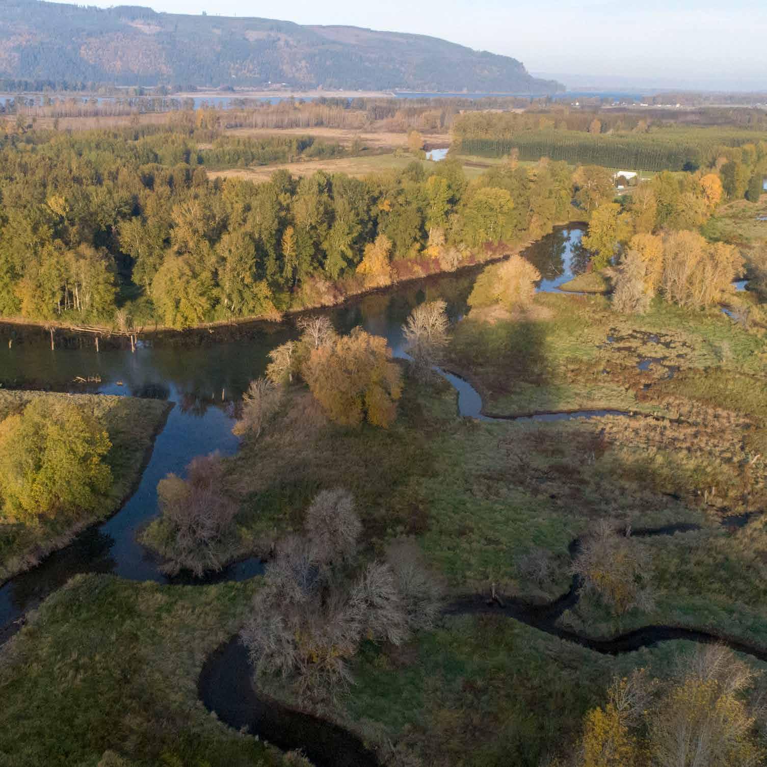
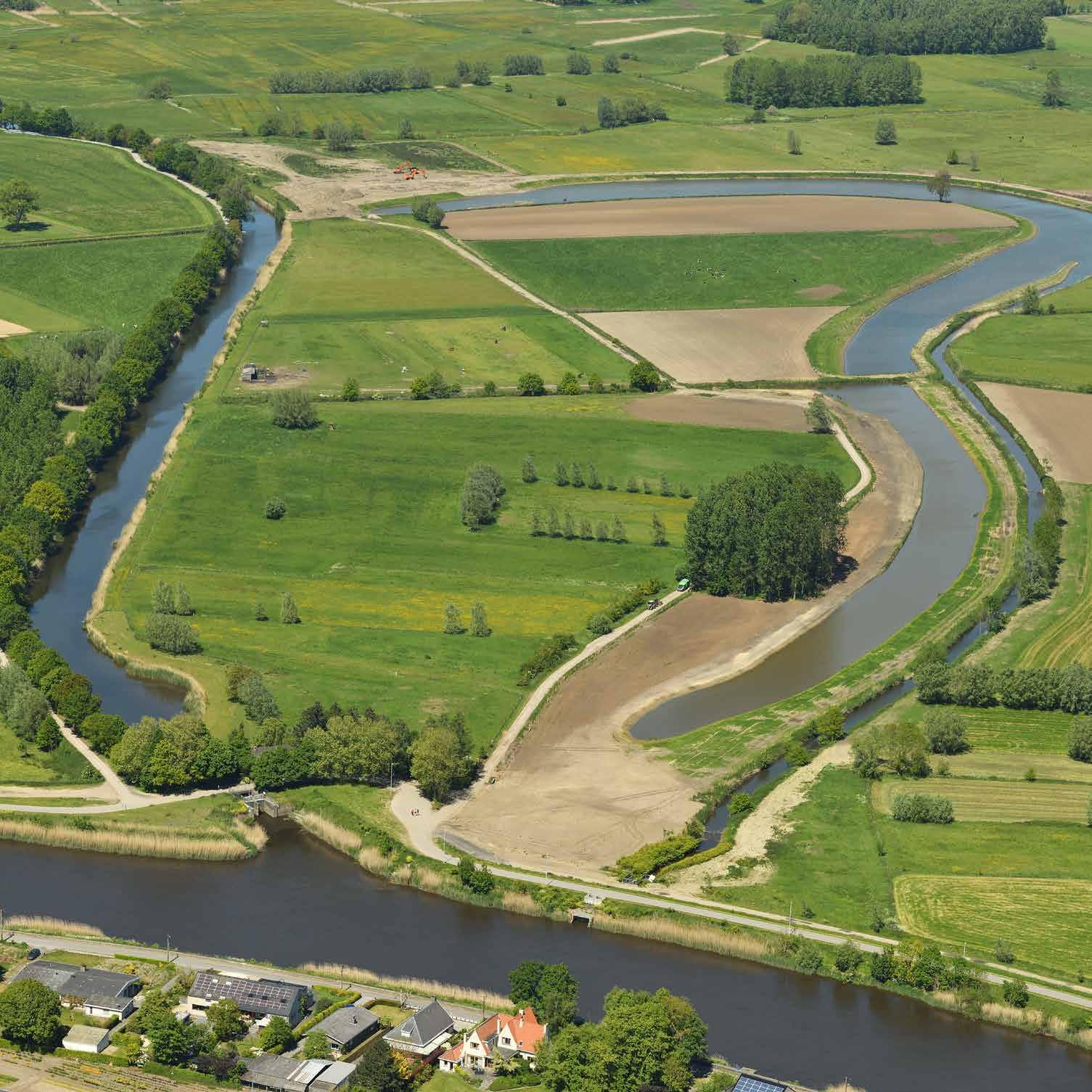
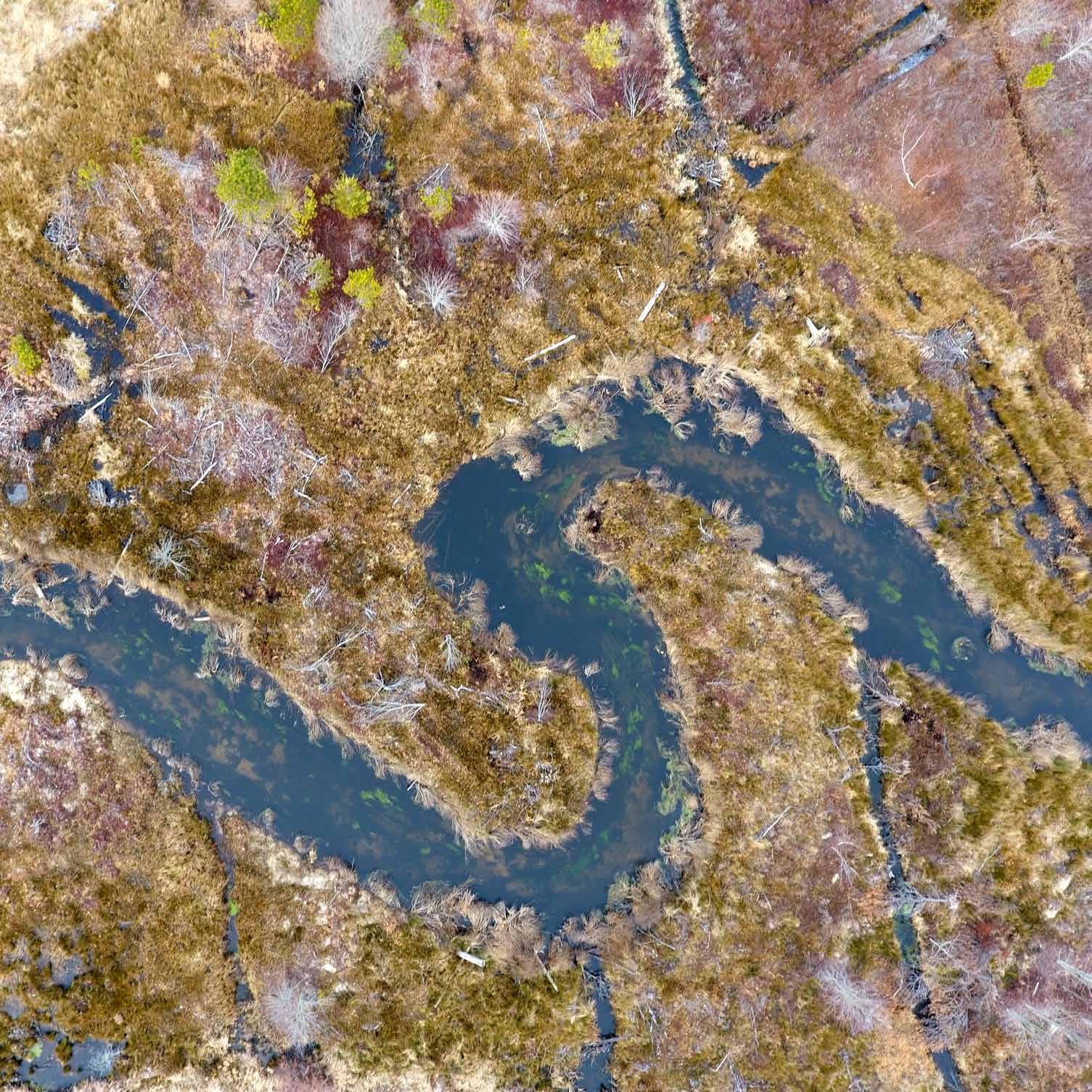
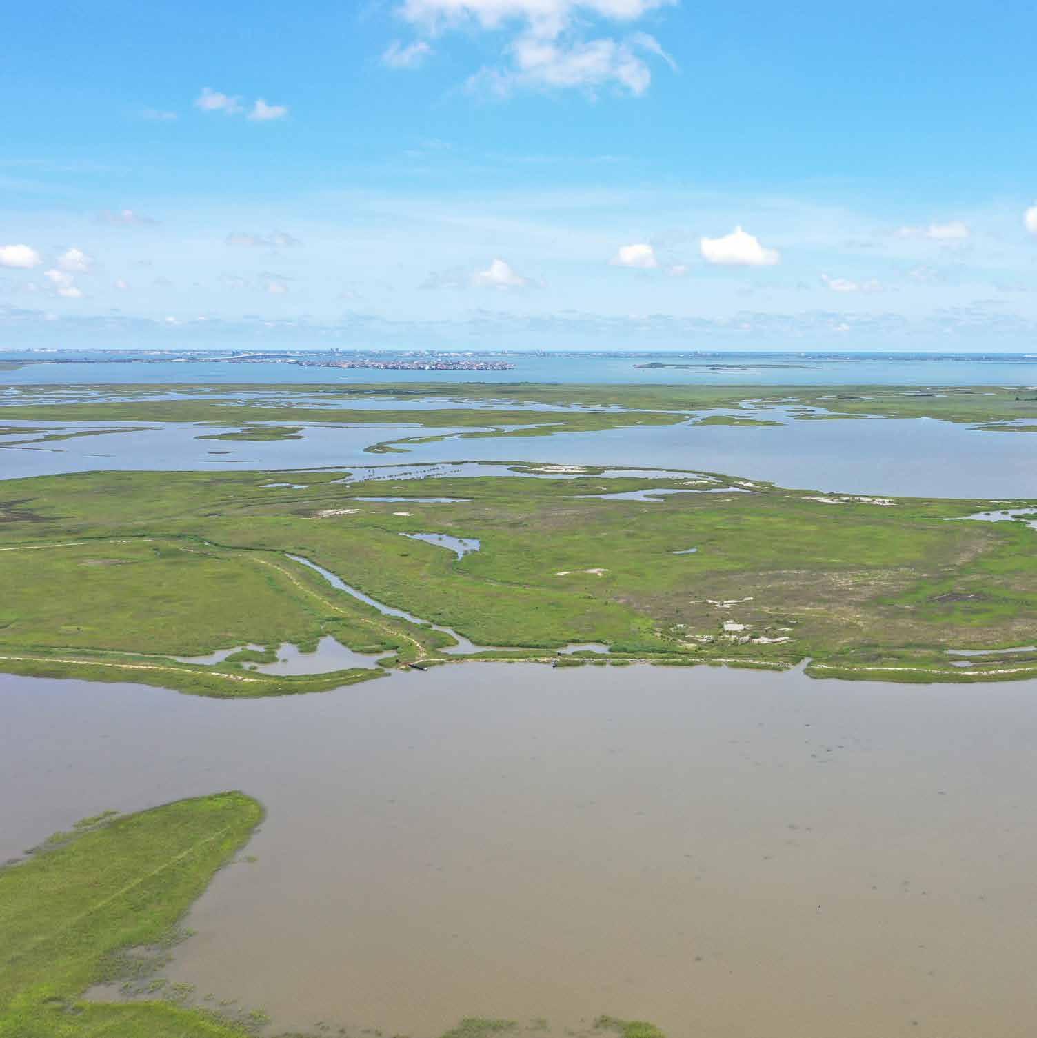
Old Scheldt and Kalkenvaart Aard, East Flanders, Belgium
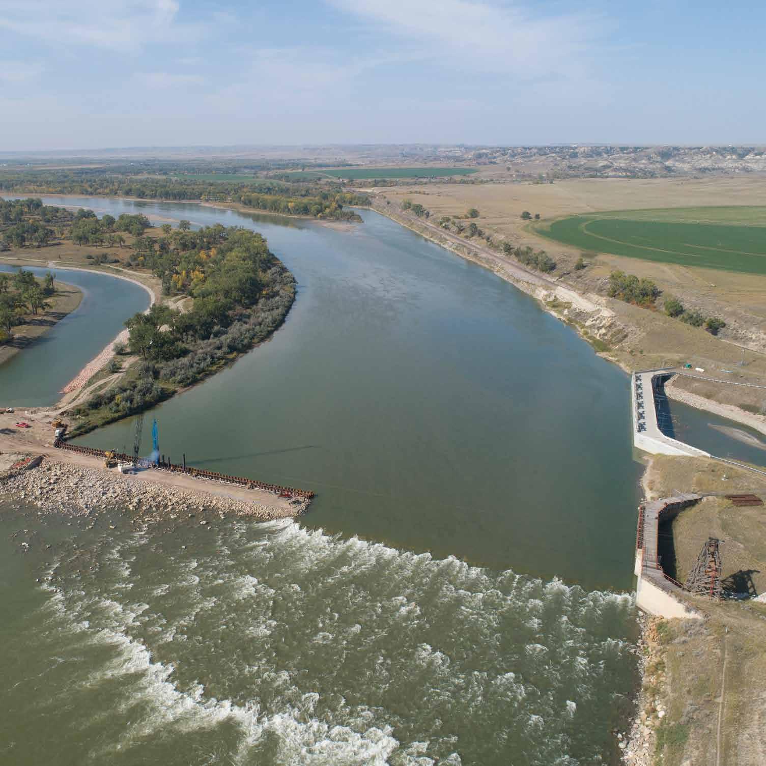
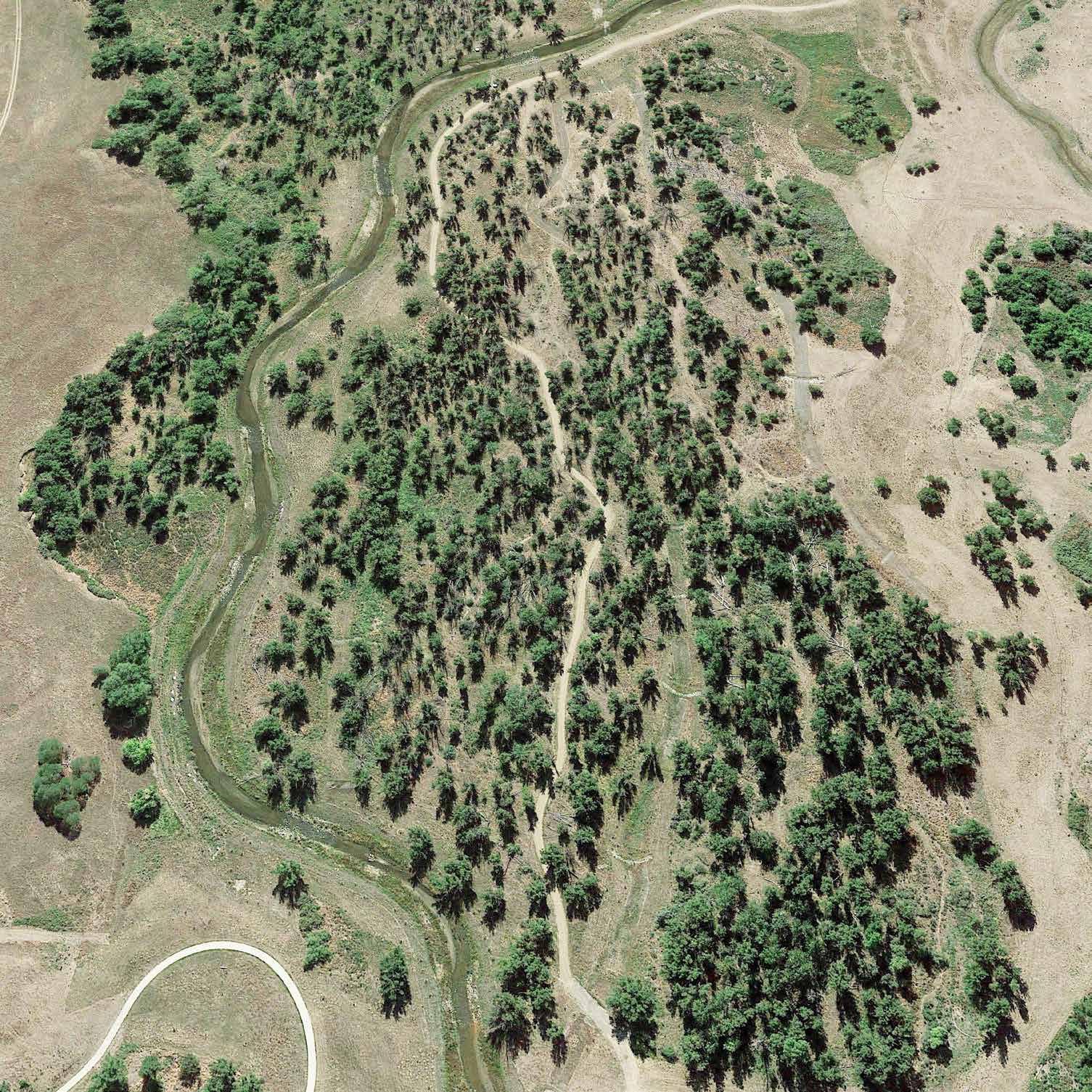
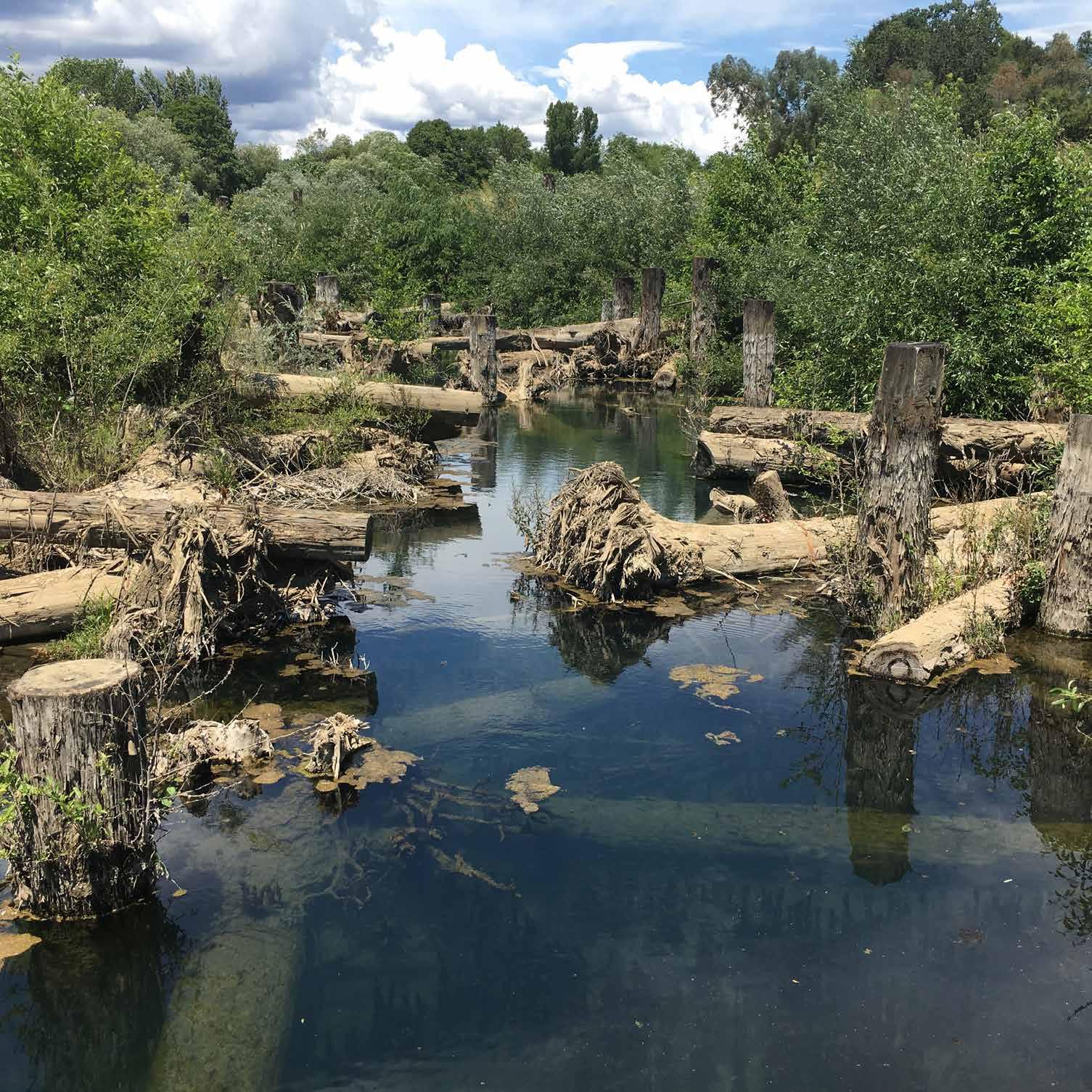
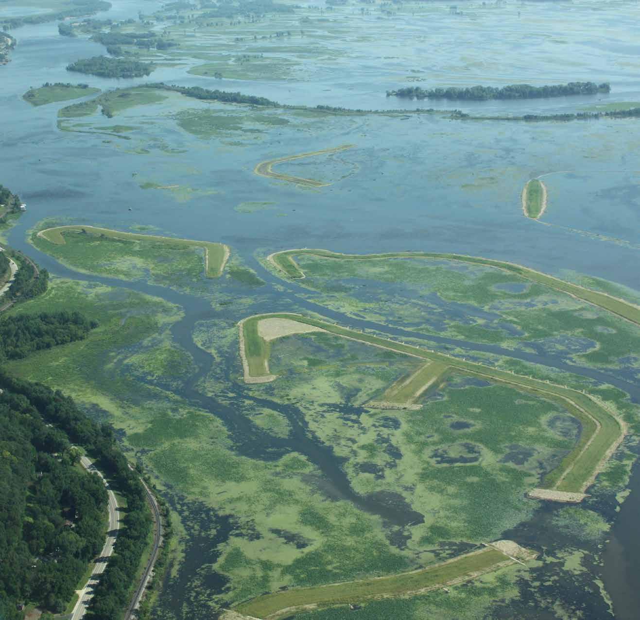
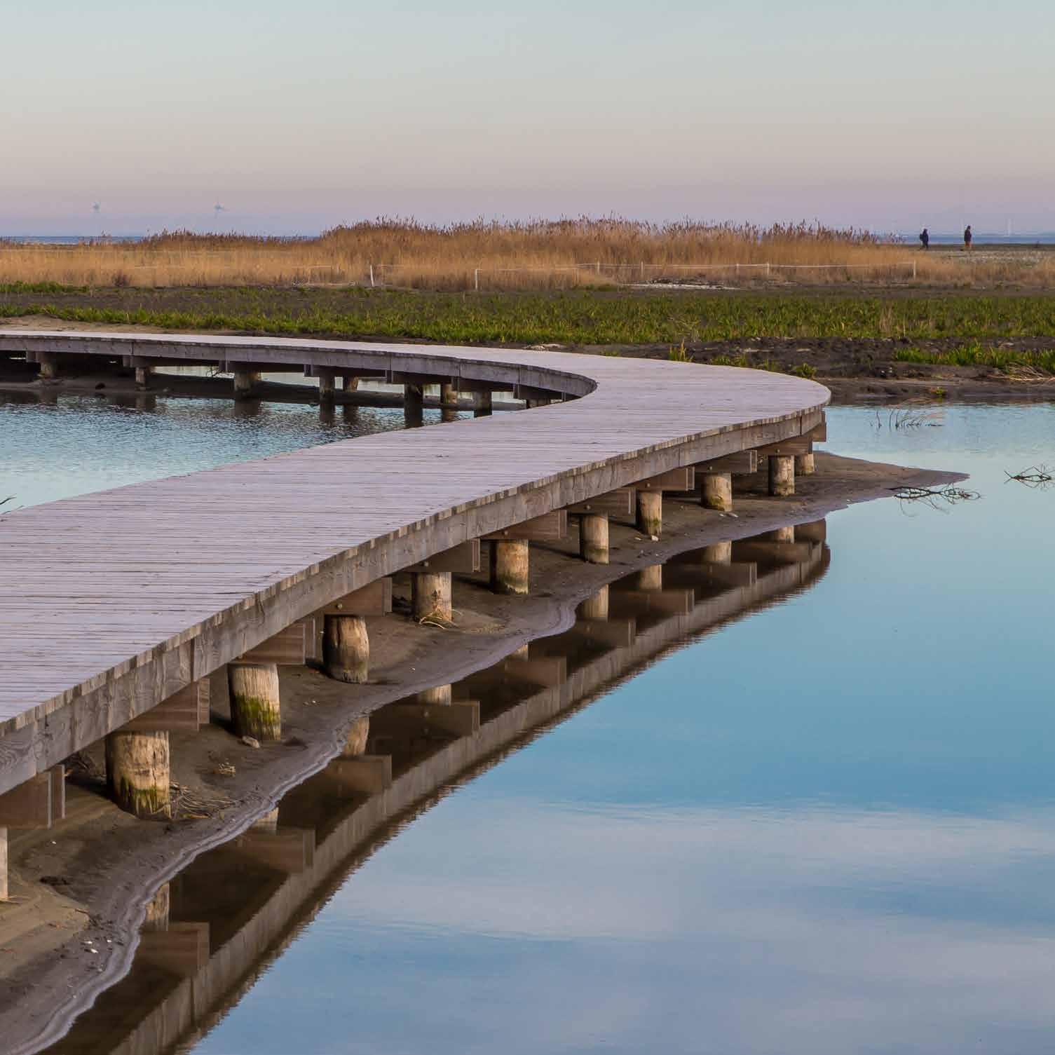
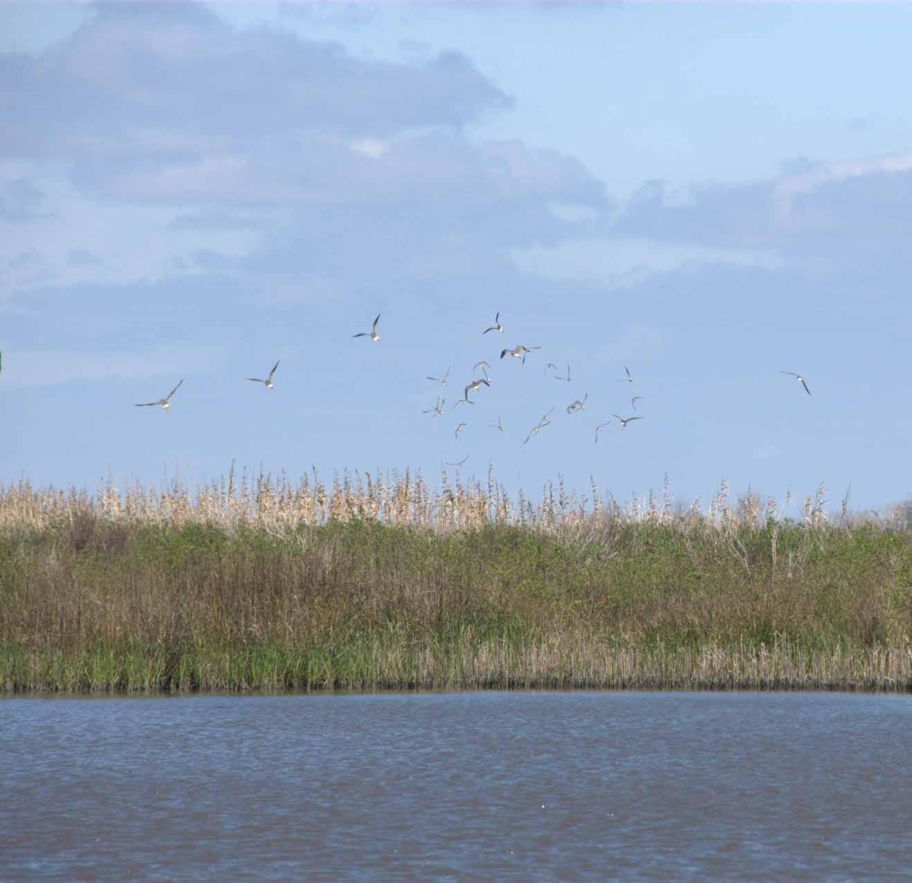
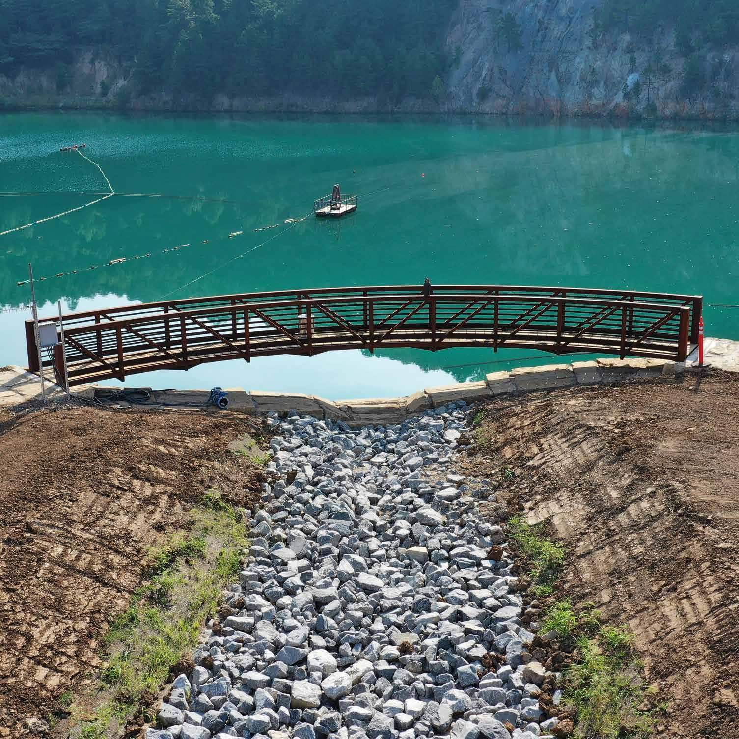
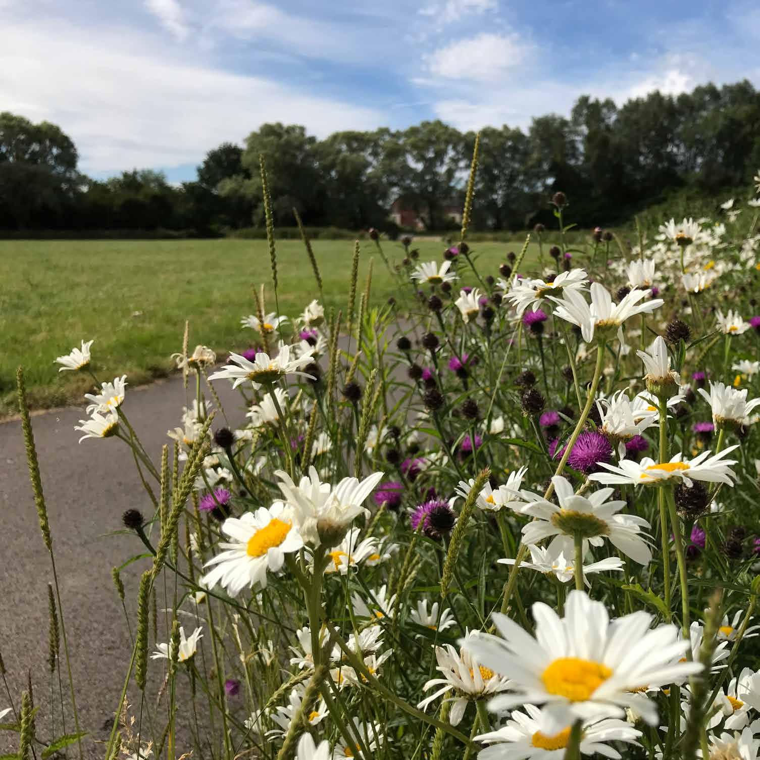
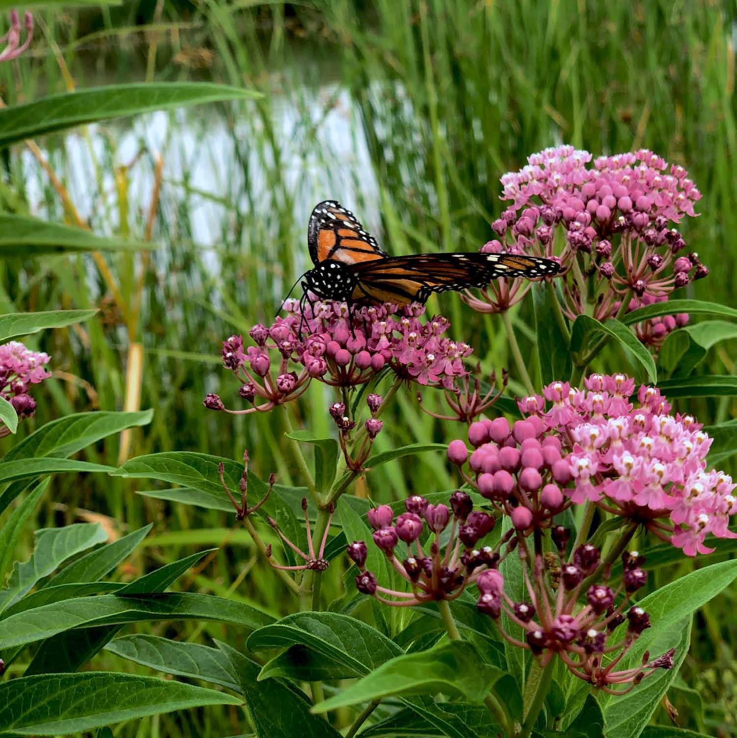
Reclaiming agricultural land in the Scheldt river floodplain for climate mitigation. In the northern half of Belgium in the heavily urbanized Flanders region, the Kalkense Meersen remains one of the few large, open natural spaces. Though historically pasture and hay meadows, changing agricultural practices in the twentieth century left the area stressed and degraded by chemical fertilizers, pesticides, and lowered water levels. As the low point of the catchment area, this area of open water collects excess nutrients and pollutants and had largely lost its original grasslands. Starting with initial planning in 2005, as part of the Sigma plan, the project team devised a strategy for protecting the region from flooding while restoring the natural habitat. Work began in 2010 by converting arable land back to grassland. By the end of 2020, the team had restored the Old Scheldt—a damped river meander—and had dug extra shallow banks along the medieval canal, the Kalkenvaart. They then connected the combined body of open water to the tidal river Scheldt by a special fish ladder and sluice. Now the area’s diverse landscape provides a buffer for the surrounding community, containing excess water to protect against flood and providing more stable water levels in the face of climatechange-induced droughts.
144