Engineering With Nature: An Atlas, Volume 2.

Page 186

Environmental Pool Management Riverine Systems

Upper Mississippi River, Missouri, United States

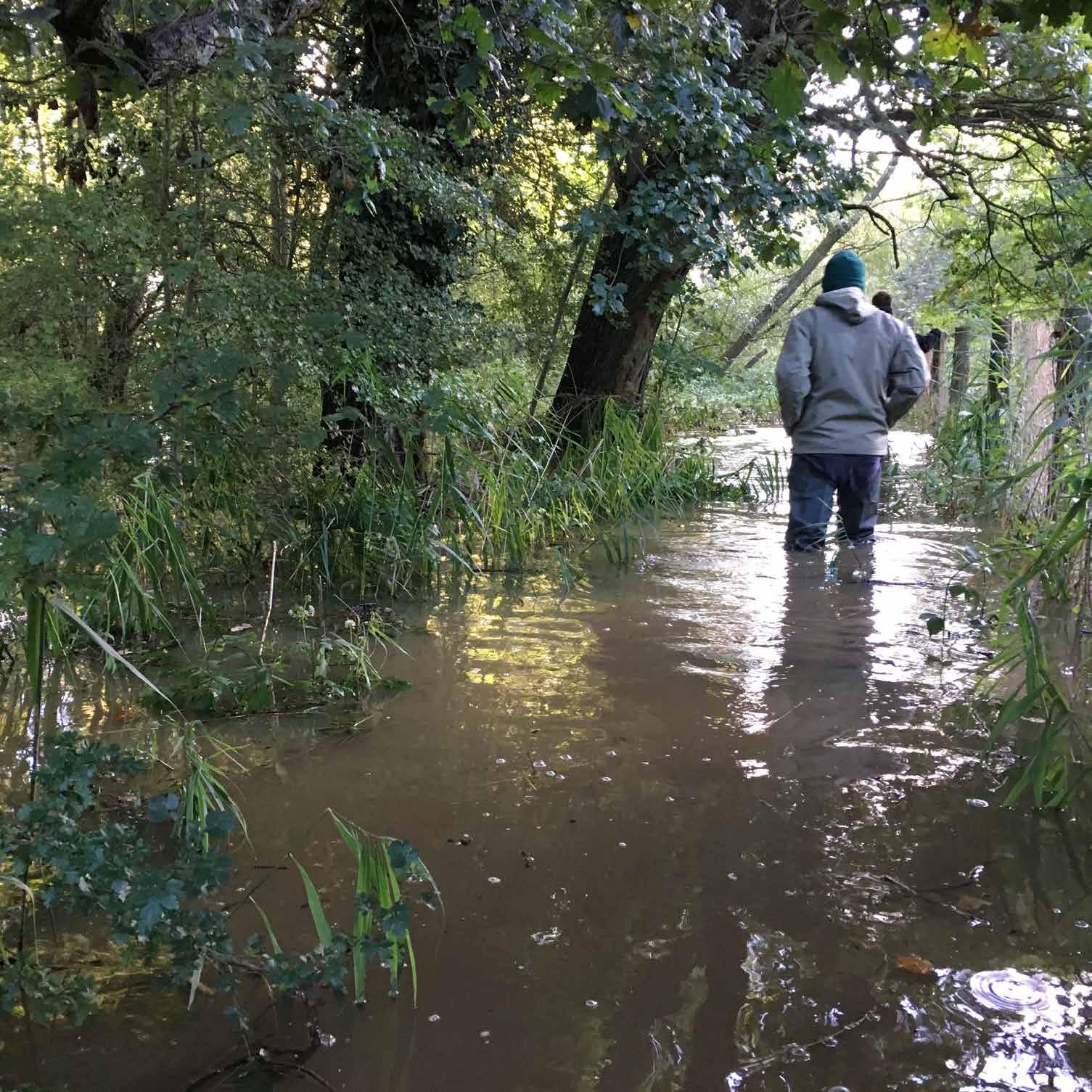
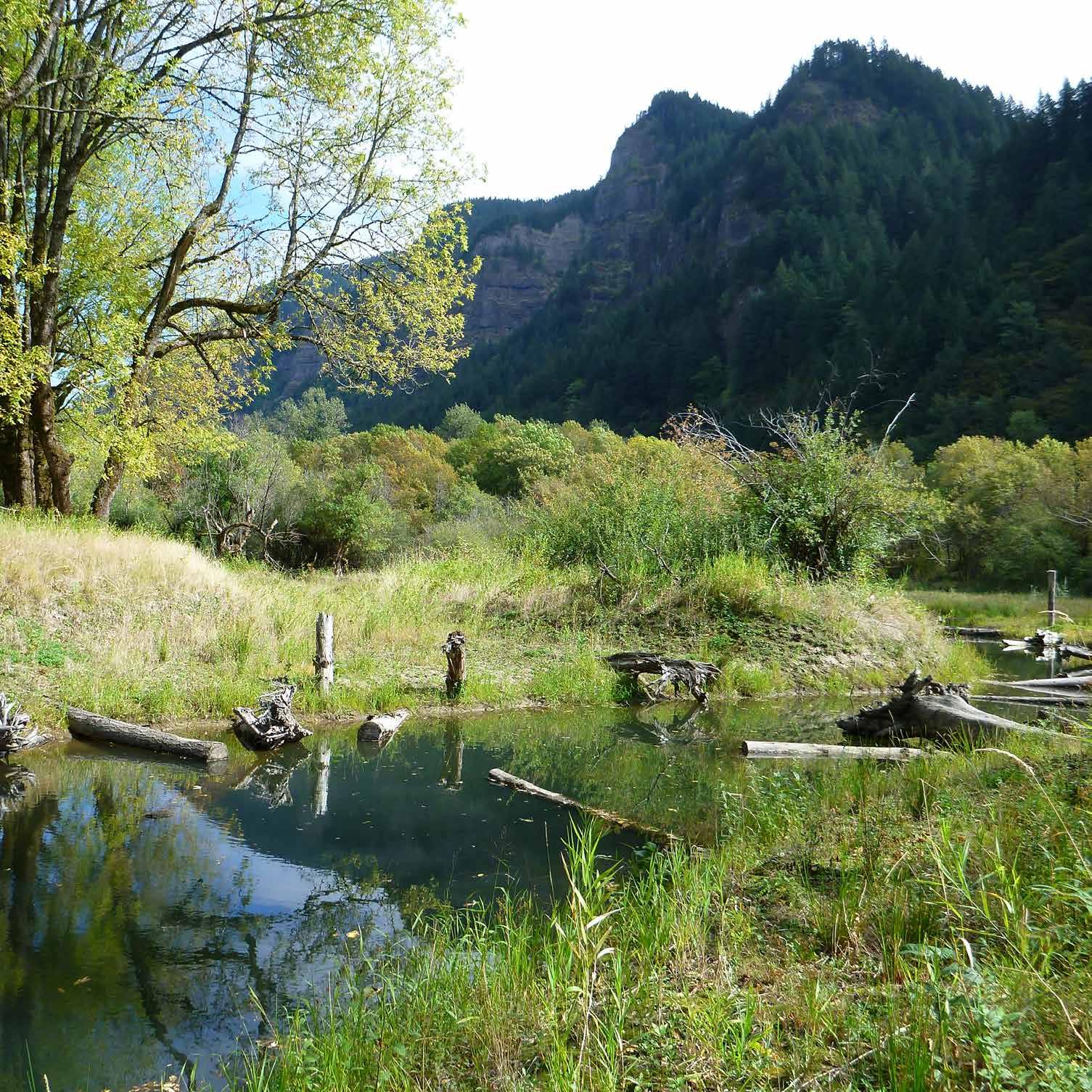
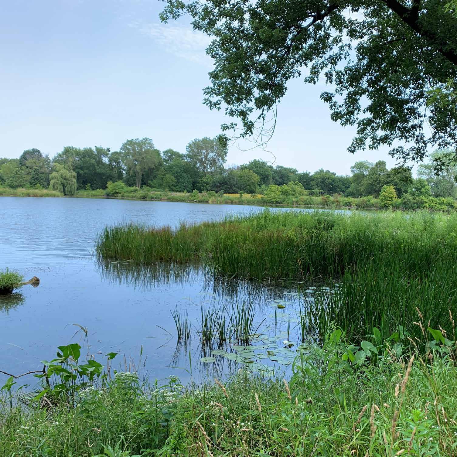
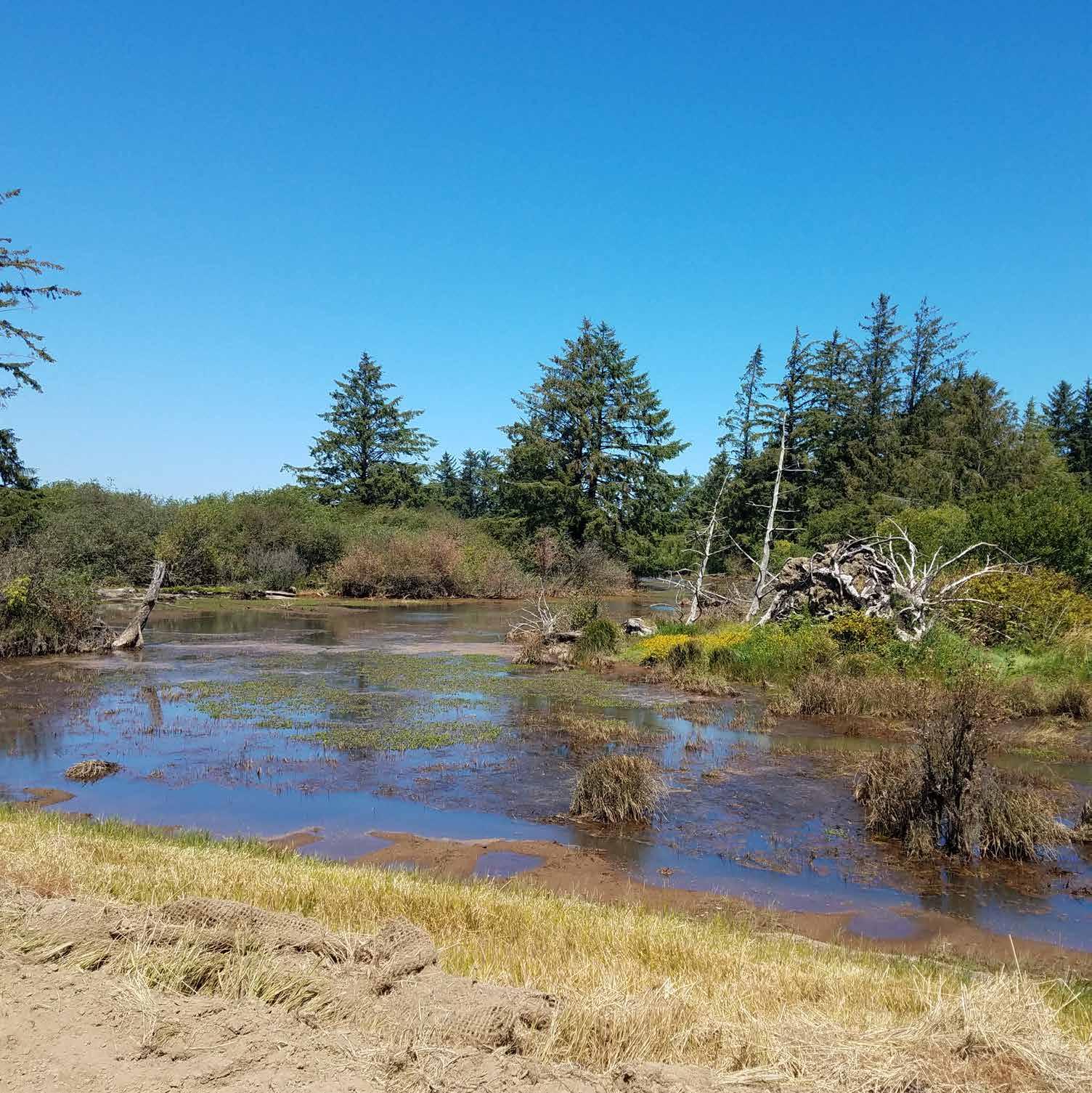
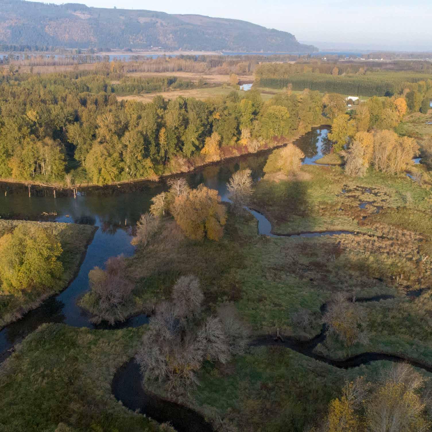
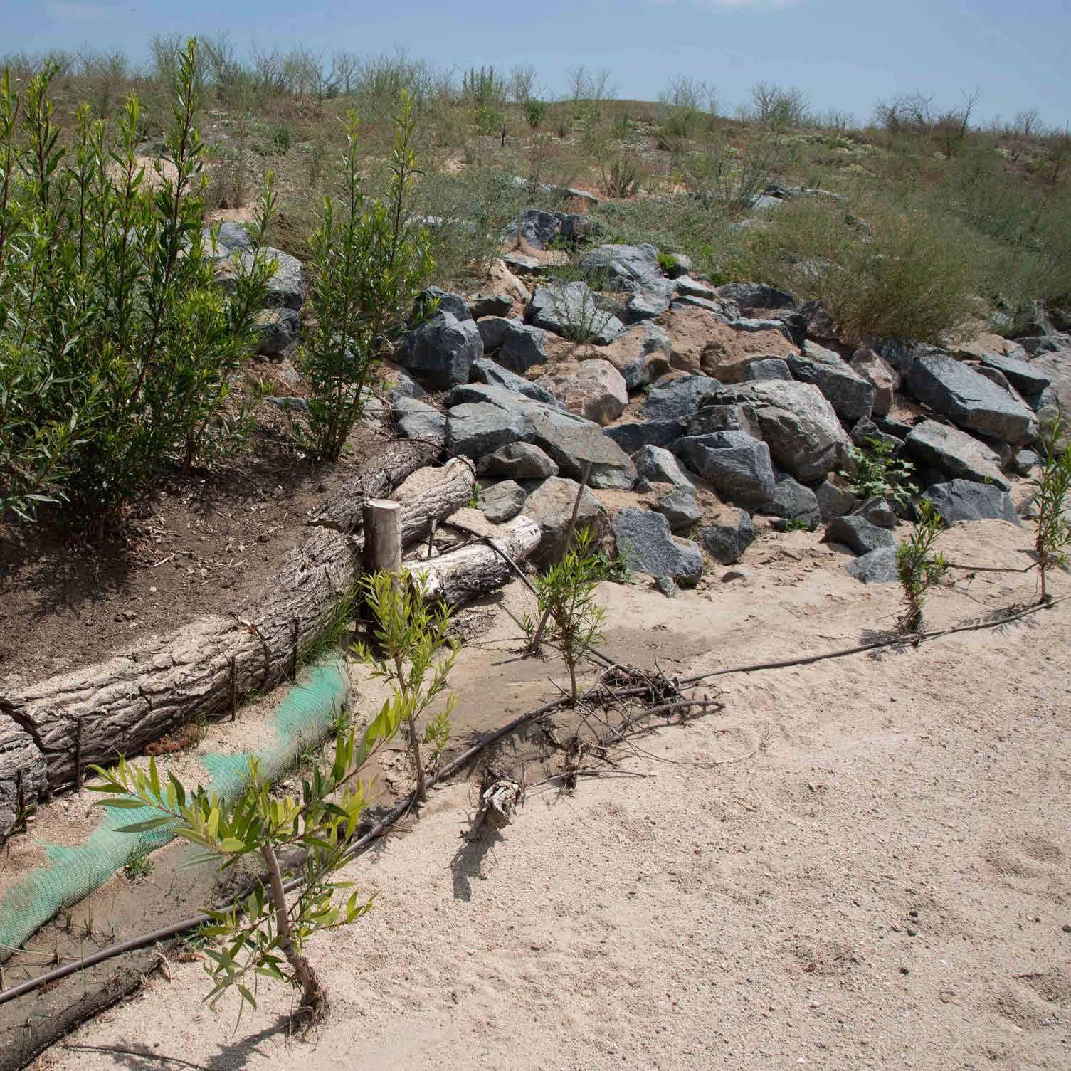
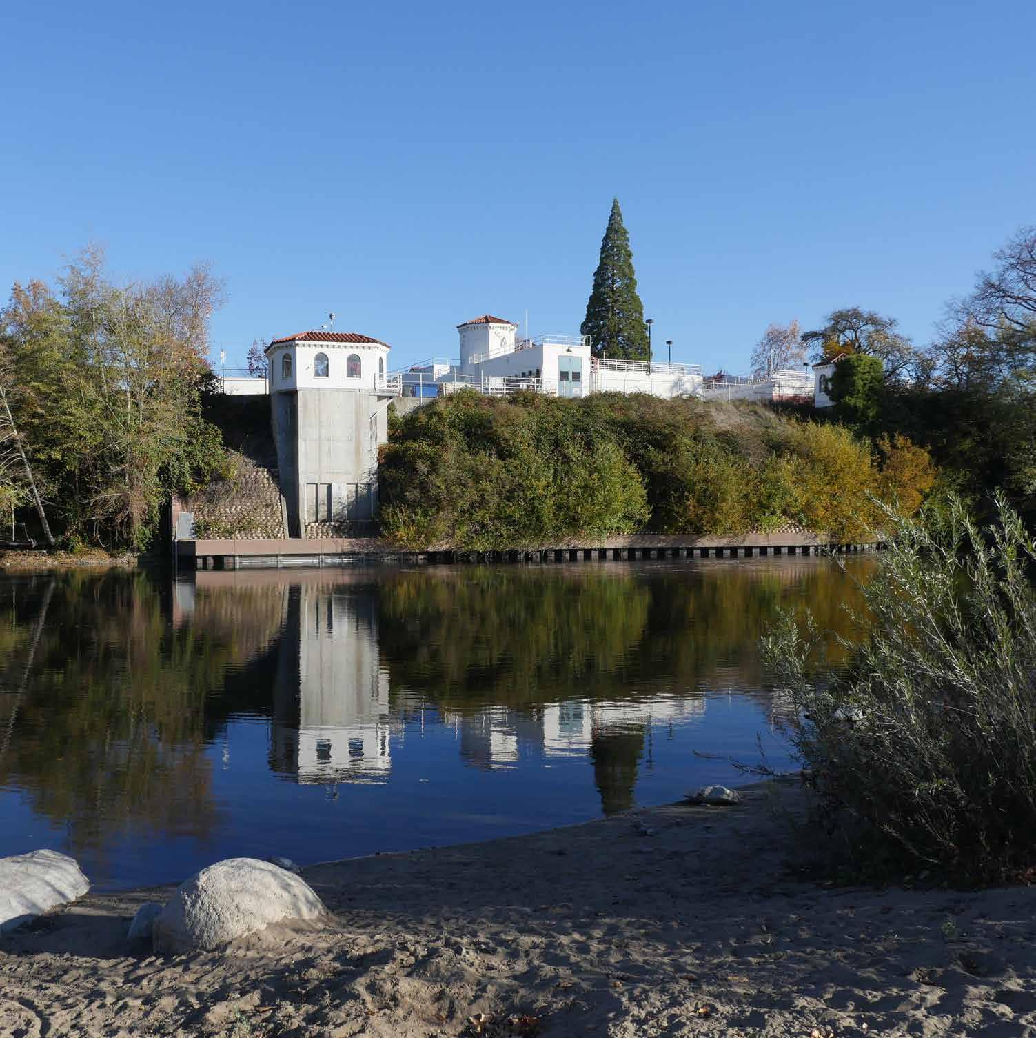
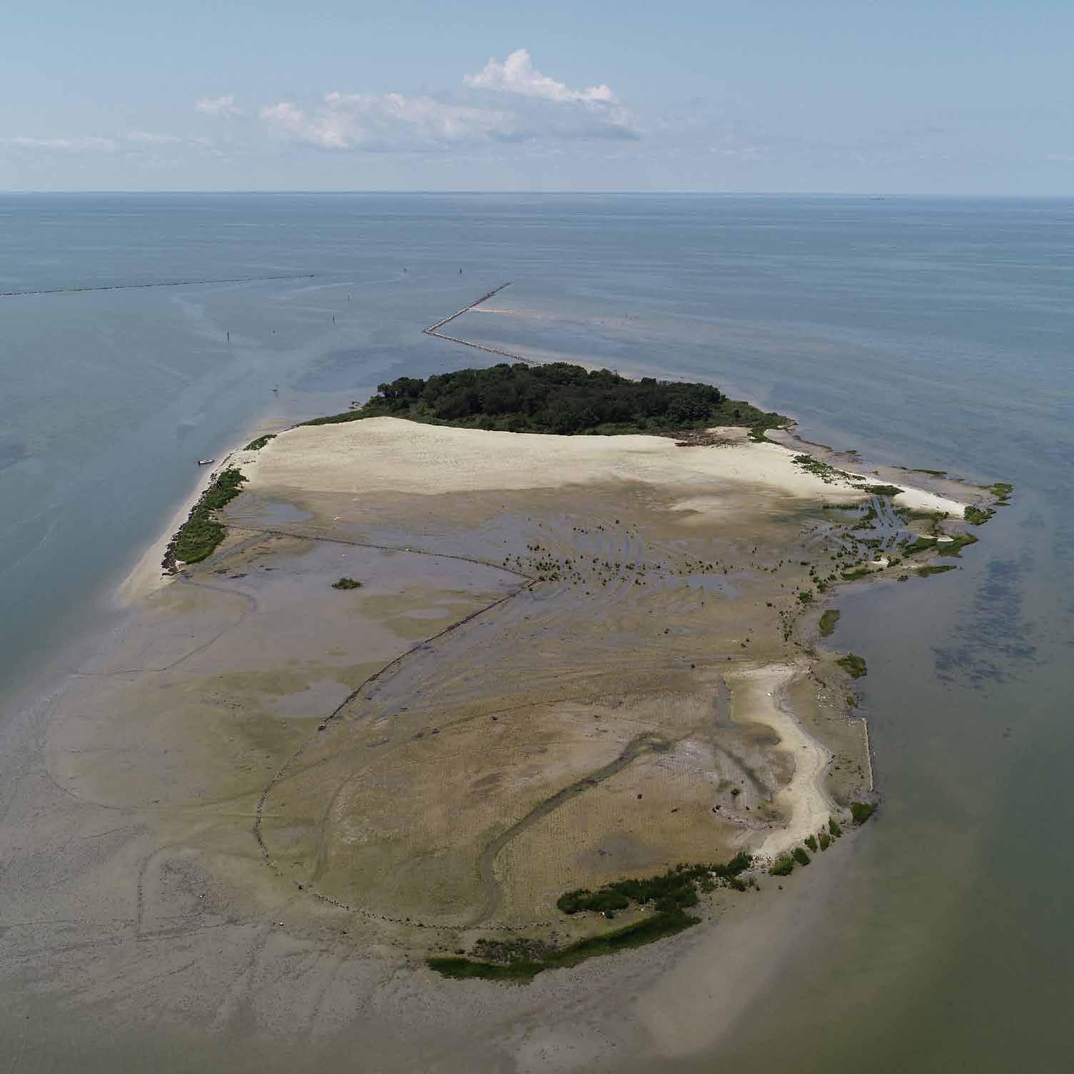
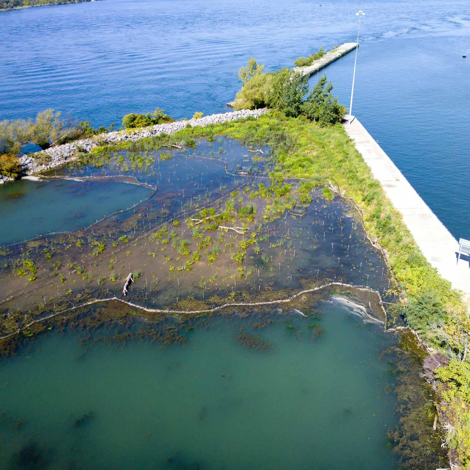
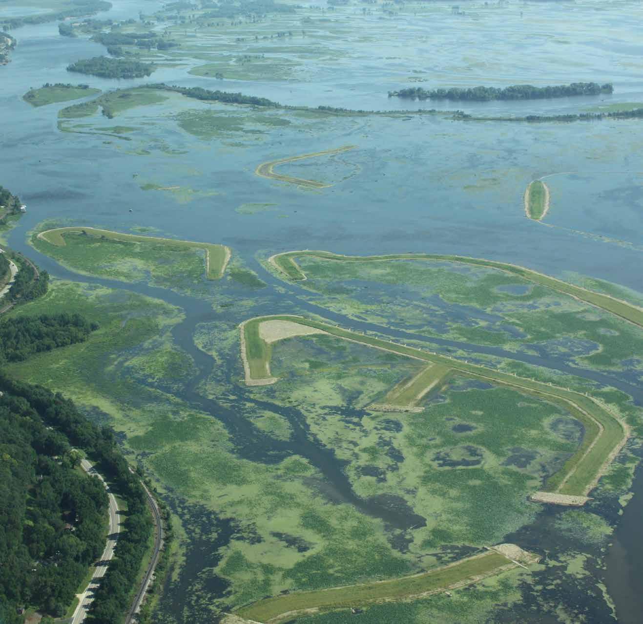
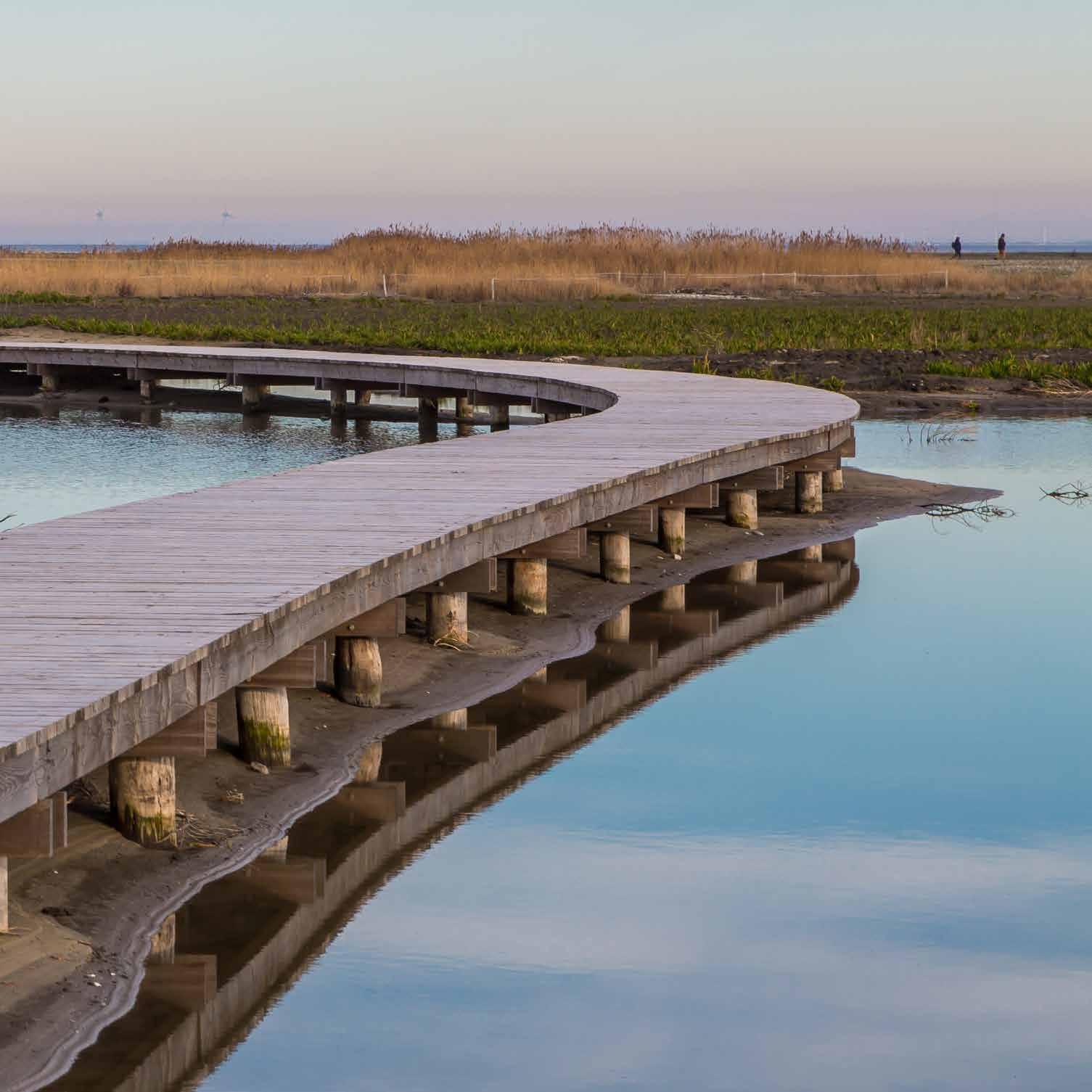
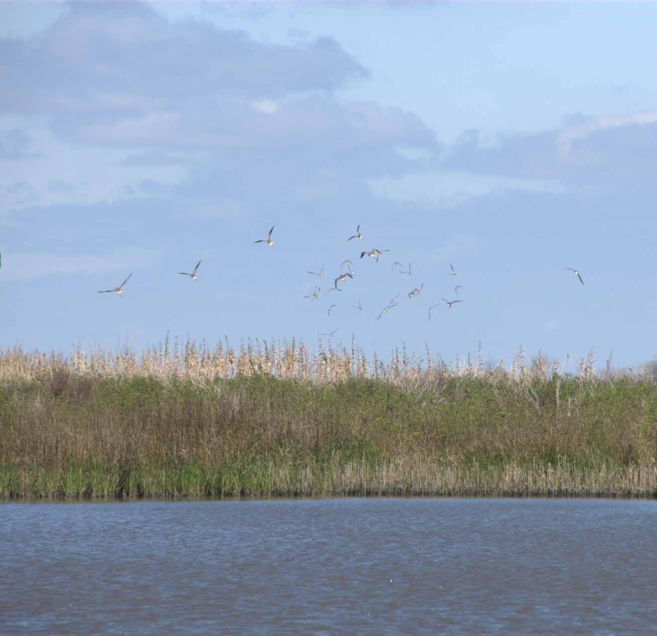
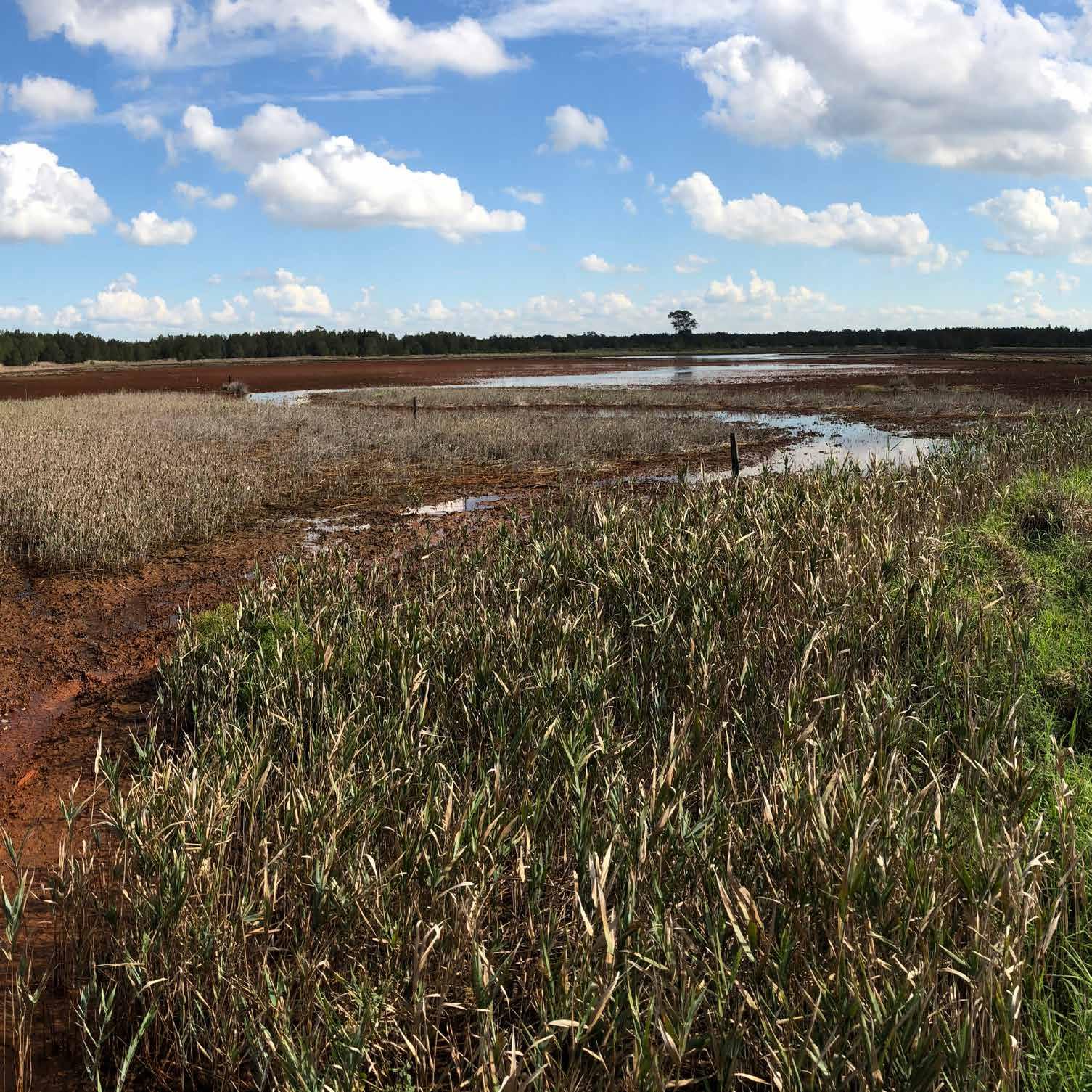
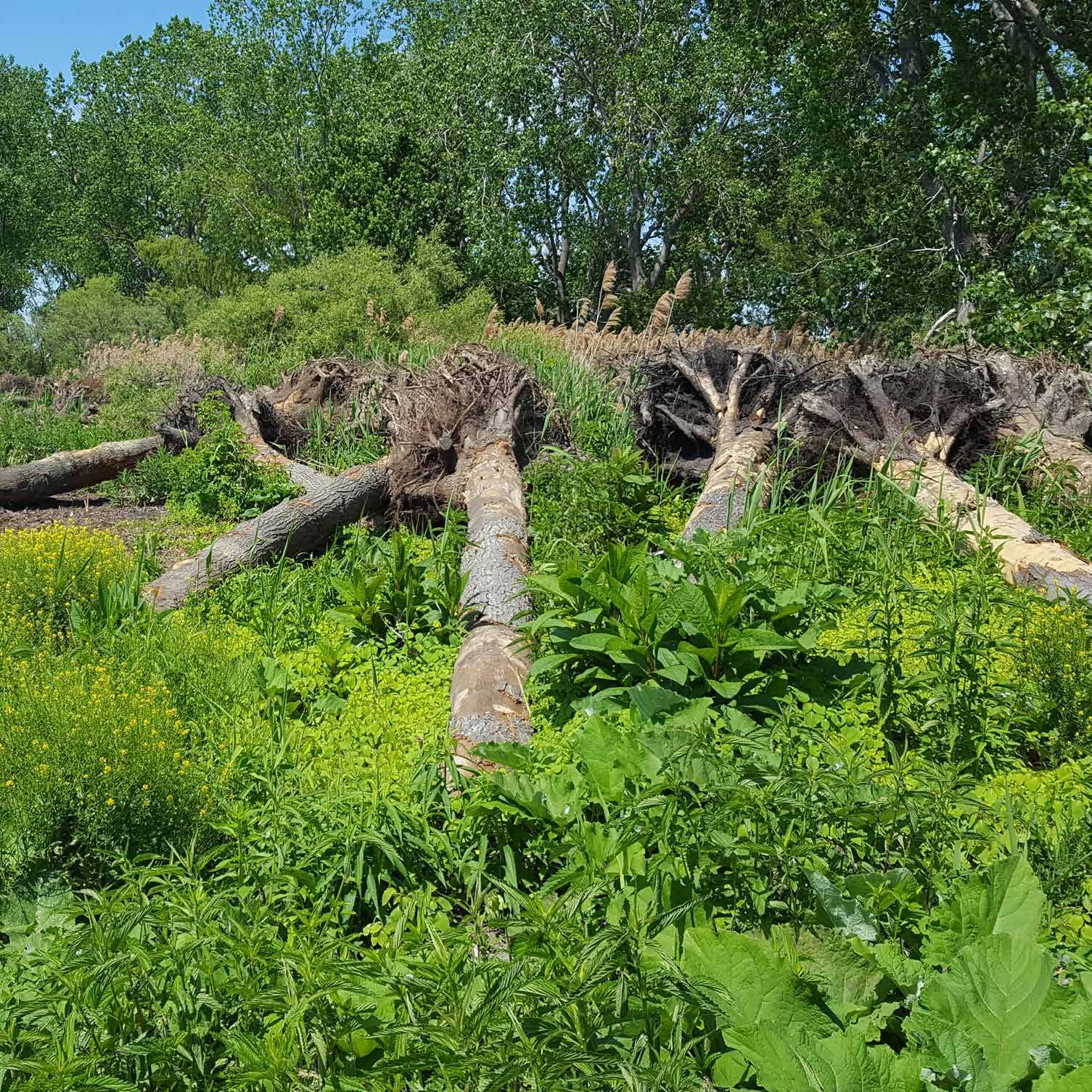
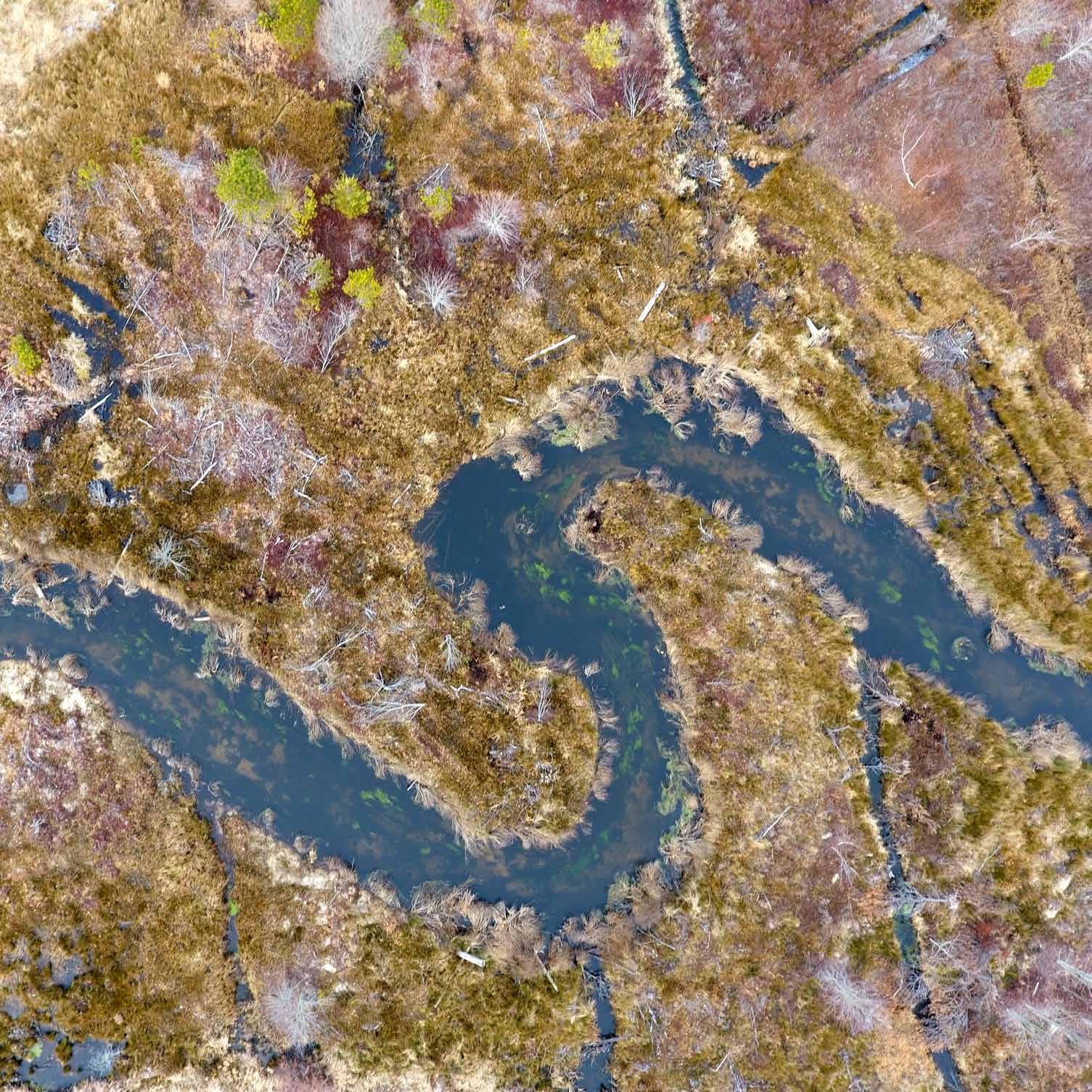
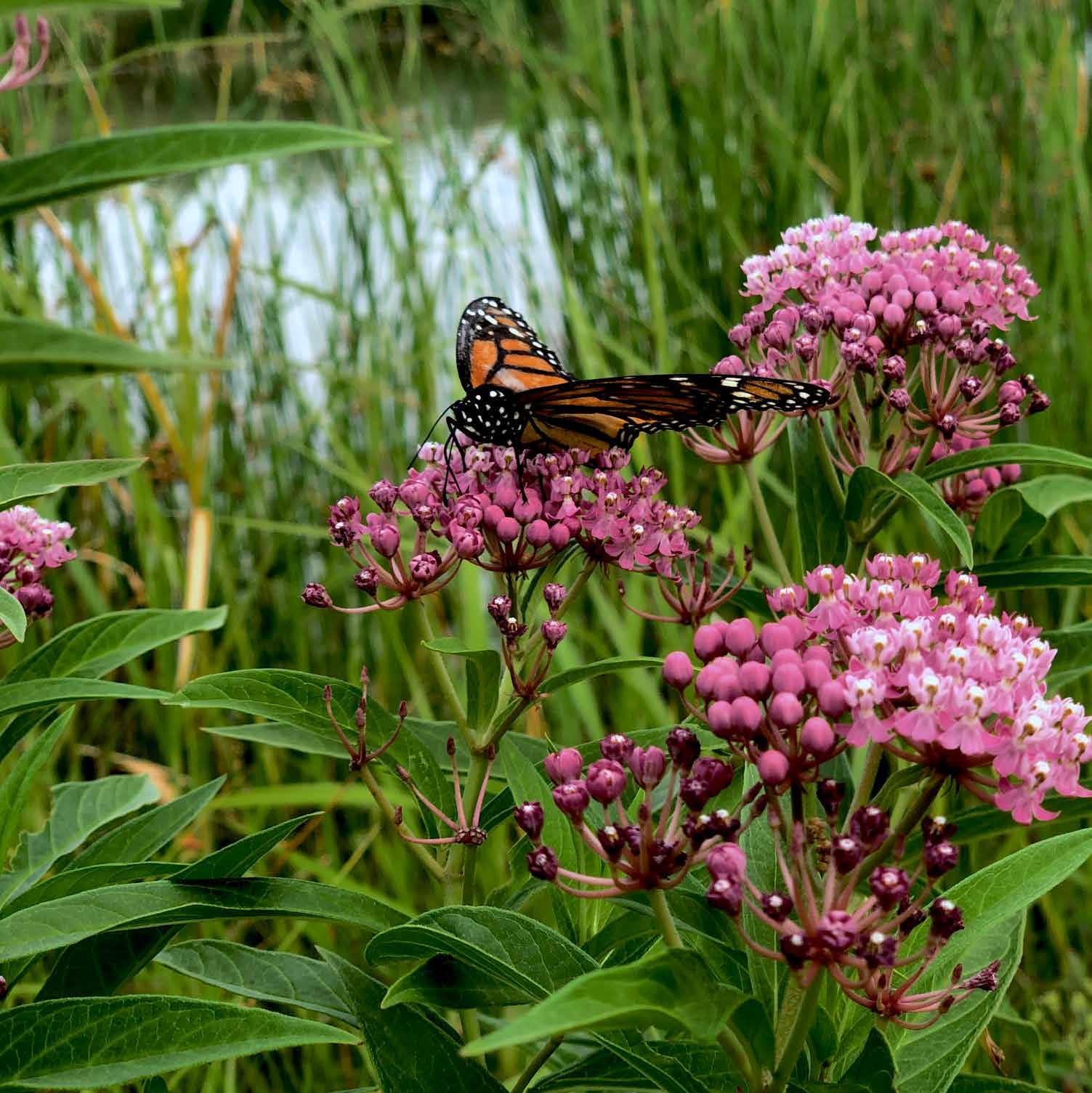
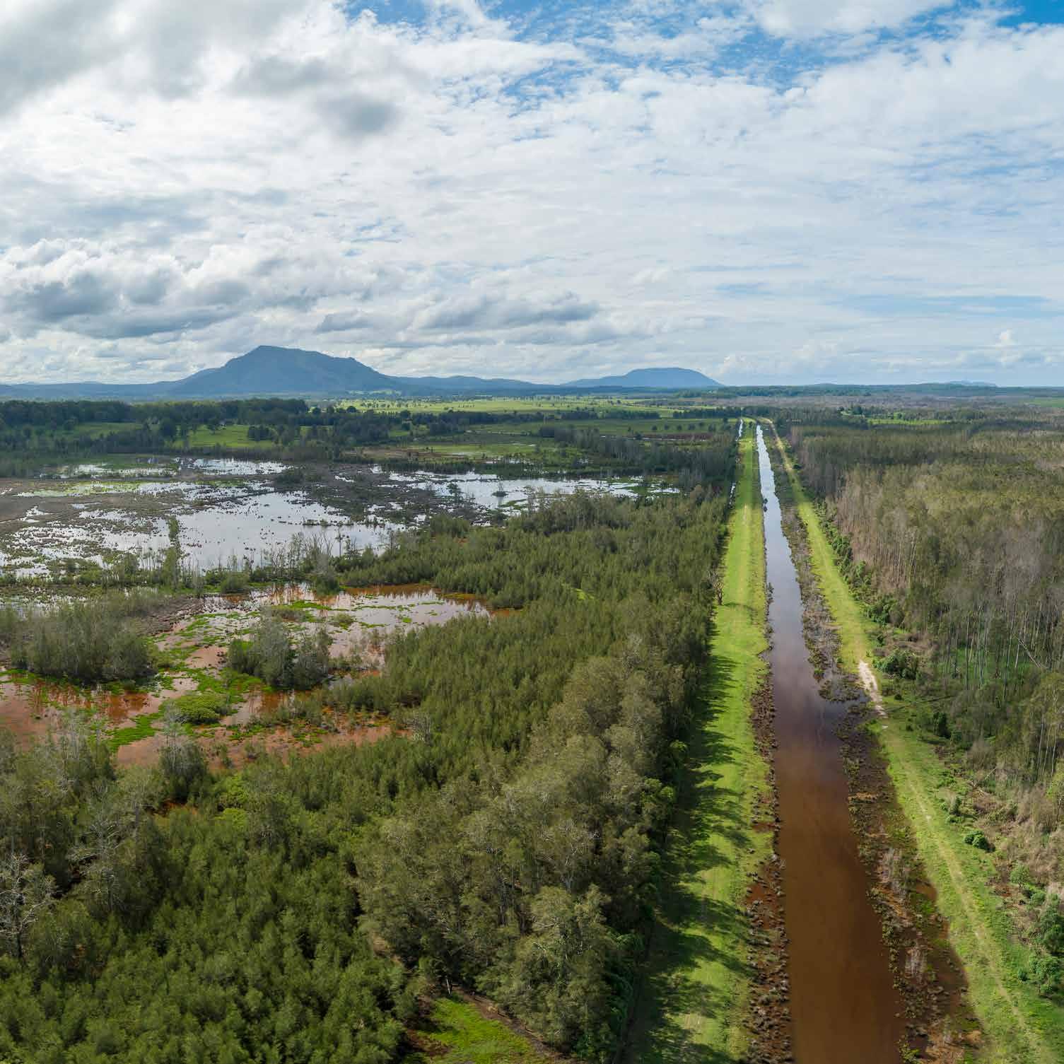
Improving ecological conditions through water management. In the early 1990s, state and federal natural resource partners on the Upper Mississippi River asked the U.S. Army Corps of Engineers (USACE)–St. Louis District to modify lock and dam operations at Lock and Dam 24 in Clarksville, Missouri; Lock and Dam 25 in Winfield, Missouri; and Melvin Price Lock and Dam in Alton, Illinois, to improve ecological conditions. To accomplish this, the St. Louis District increased the growth of aquatic vegetation during the summer while maintaining the authorized 9-foot (2.7-meter) navigation channel and staying within existing operating limits, a technique now known as environmental pool management. Over 30–40 days, the decrease in surface water elevations for about 160 kilometers exposes mudflats along riverbanks, around the perimeter of islands, and on the interior sloughs of islands, establishing optimal growing conditions. In 2015, the district began targeting 90 days of operation during the growing season, resulting in over 110 days of plant growth each year and reestablishing a perennial vegetation community of native arrowhead (Sagittaria latifolia) last seen in 1993. Monitoring efforts reveal improved sediment consolidation, fish and wildlife habitat, and critical pollinator habitat. With environmental pool management, the district has achieved ecosystem benefits while maintaining a safe and dependable navigation channel.

168


Turn static files into dynamic content formats.

Create a flipbook

Articles inside

Introduction

13min
pages 19-29

Conclusion

5min
pages 320-325

Coastal Resilience and Natural Solutions Toolkits

2min
pages 310, 318-319

Coastal Storm Modeling System

2min
pages 310, 316-317

Natural Infrastructure Opportunities Tool

2min
pages 310, 314-315

Ecosystem Services Identification and Inventory

2min
pages 310, 312-313

Cypress Reforestation

4min
pages 306-309

Matarandiba Island

3min
pages 302-305

Lower Yellowstone River Fish Passage

4min
pages 298-301

Emiquon

4min
pages 294-297

Regulating Works

4min
pages 290-293

Hartlepool Headland Coastal Protection

4min
pages 286-289

Clay Ripener

4min
pages 282-285

Mile Point

4min
pages 278-281

Brooklyn Tide Pools

4min
pages 274-277

Galloway Creek

4min
pages 266-269

Westmoreland Park

4min
pages 262-265

Chatfield Reservoir–Plum Creek

4min
pages 258-261

Narborough

4min
pages 254-257

Horsetail and Oneonta Creek

4min
pages 250-253

Clackamas River

4min
pages 246-249

Dry Creek

4min
pages 242-245

Flimby

4min
pages 238-241

Jackson Park

4min
pages 234-237

Howland Dam Fish Bypass

4min
pages 230-233

Puyallup River Revetment

4min
pages 222-225

Weardale

4min
pages 218-221

Low Leighton

4min
pages 214-217

Southern Flow Corridor

4min
pages 210-213

Wendling Beck

4min
pages 206-209

Kerry Island Estuary

4min
pages 202-205

Smithills

4min
pages 198-201

Mill River

4min
pages 190-193

Environmental Pool Management

4min
pages 186-189

River Nairn

4min
pages 182-185

Meadowview Stream

5min
pages 178-181

Rogue River

4min
pages 174-177

Deer Island

4min
pages 170-173

Eddleston Water

4min
pages 166-169

Old Scheldt and Kalkenvaart

4min
pages 162-165

Boardman River Dam Removals

5min
pages 158-161

Wind Farm Oyster Reefs

4min
pages 150-153

Mangrove Reef Walls

4min
pages 146-149

Bonner Bridge

4min
pages 142-145

Brunswick Town / Fort Anderson

4min
pages 138-141

Goldbug Living Shoreline

4min
pages 134-137

Swan Island

4min
pages 126-129

Unity Island

4min
pages 122-125

Pool 8
4min
pages 118-121

Cat Island and Ship Island

4min
pages 114-117

Marker Wadden

4min
pages 110-113

Northerly Island

4min
pages 106-109

Sabine National Wildlife Refuge

4min
pages 98-101

Tomago Wetlands

4min
pages 94-97

Clinton River Mouth Wetland

4min
pages 90-93

Umetco Former Mine Site

4min
pages 86-89

Jekyll Creek

4min
pages 82-85

Drake Wilson Island

3min
pages 78-81

Tidmarsh Farms Cranberry Bog

4min
pages 74-77

Ellis Meadows

4min
pages 70-73

Pierce Marsh

4min
pages 66-69

Dow Former Ash Pond

4min
pages 62-65

Big Swamp

4min
pages 58-61

Prime Hook Wildlife Refuge

4min
pages 50-53

Dangote Sandbar Breakwater

4min
pages 46-49

King Fisher Beach

4min
pages 42-45

Piping Plover Habitat

4min
pages 38-41

Spanjaards Duin

4min
pages 34-37
Issuu converts static files into: digital portfolios, online yearbooks, online catalogs, digital photo albums and more. Sign up and create your flipbook.