Low Leighton Floodplains
New Mills, England, United Kingdom
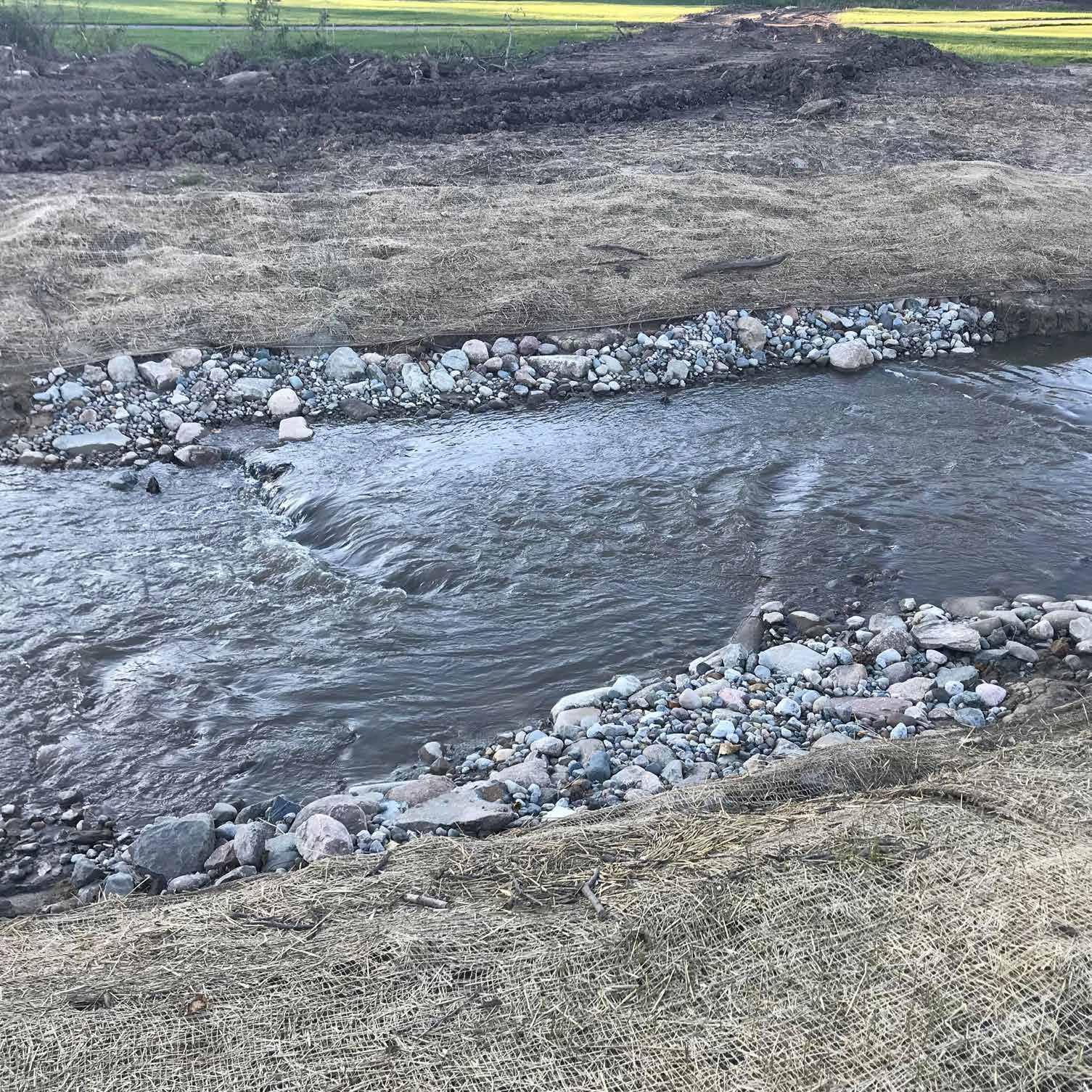
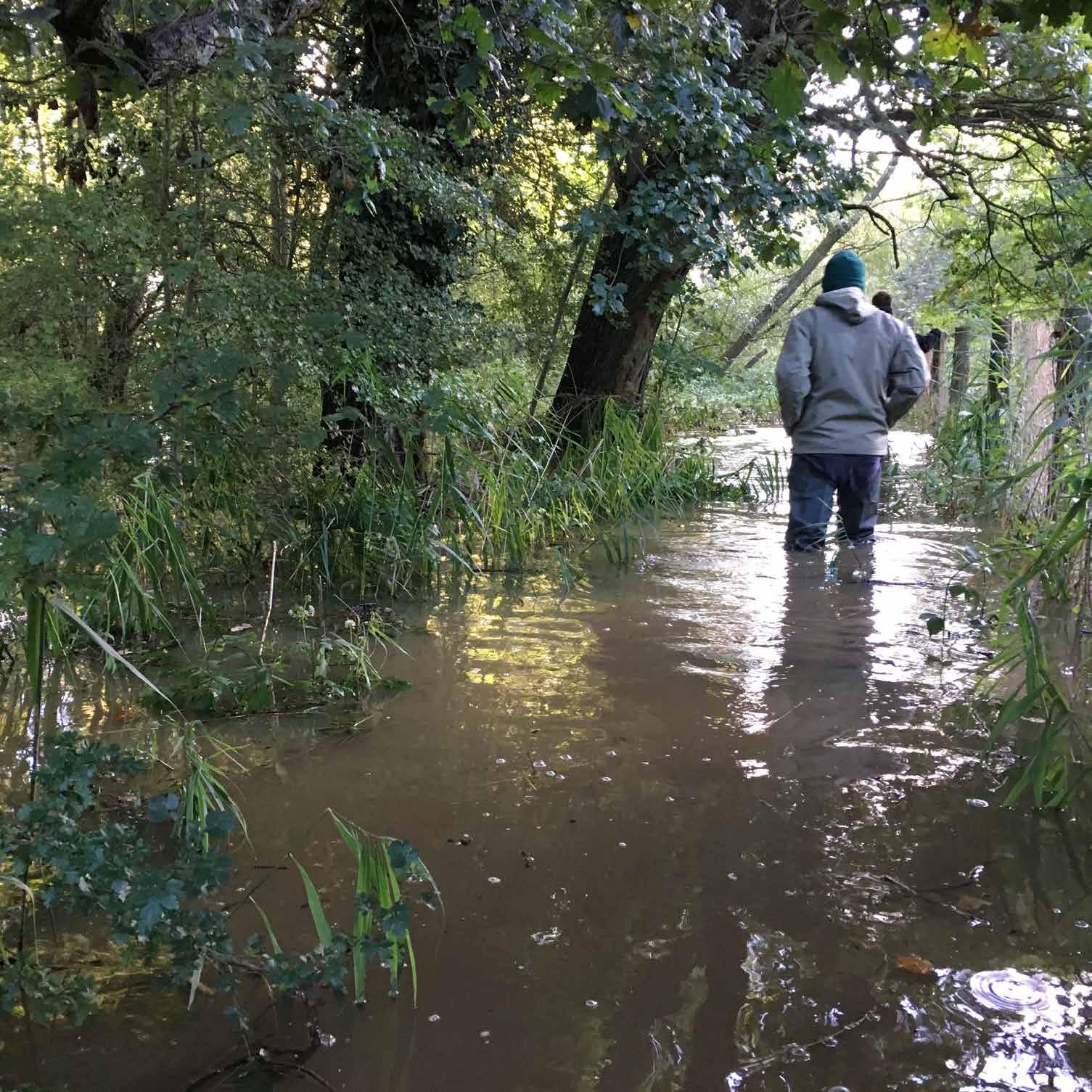
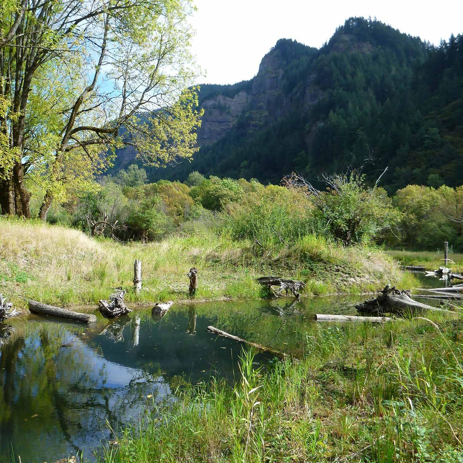
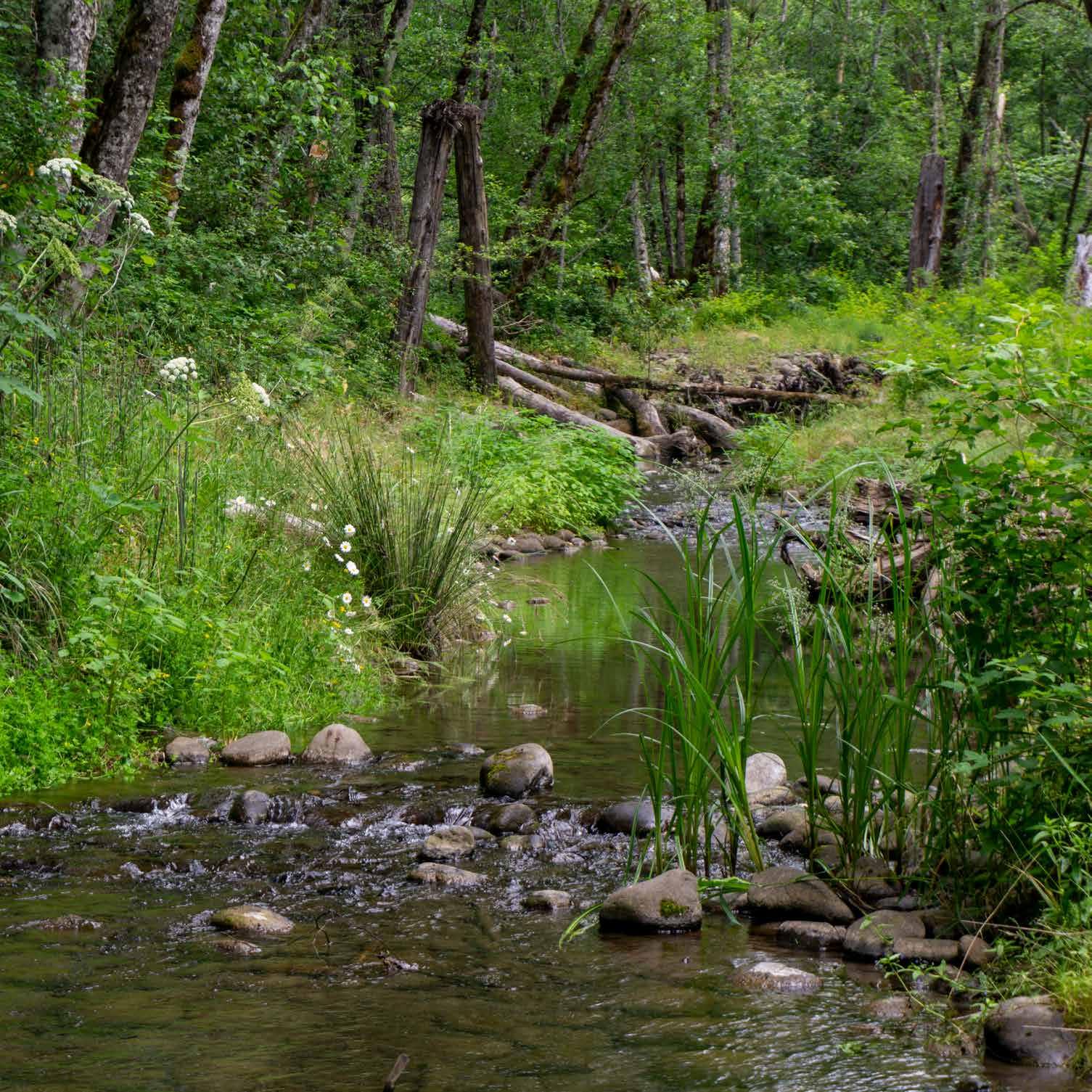
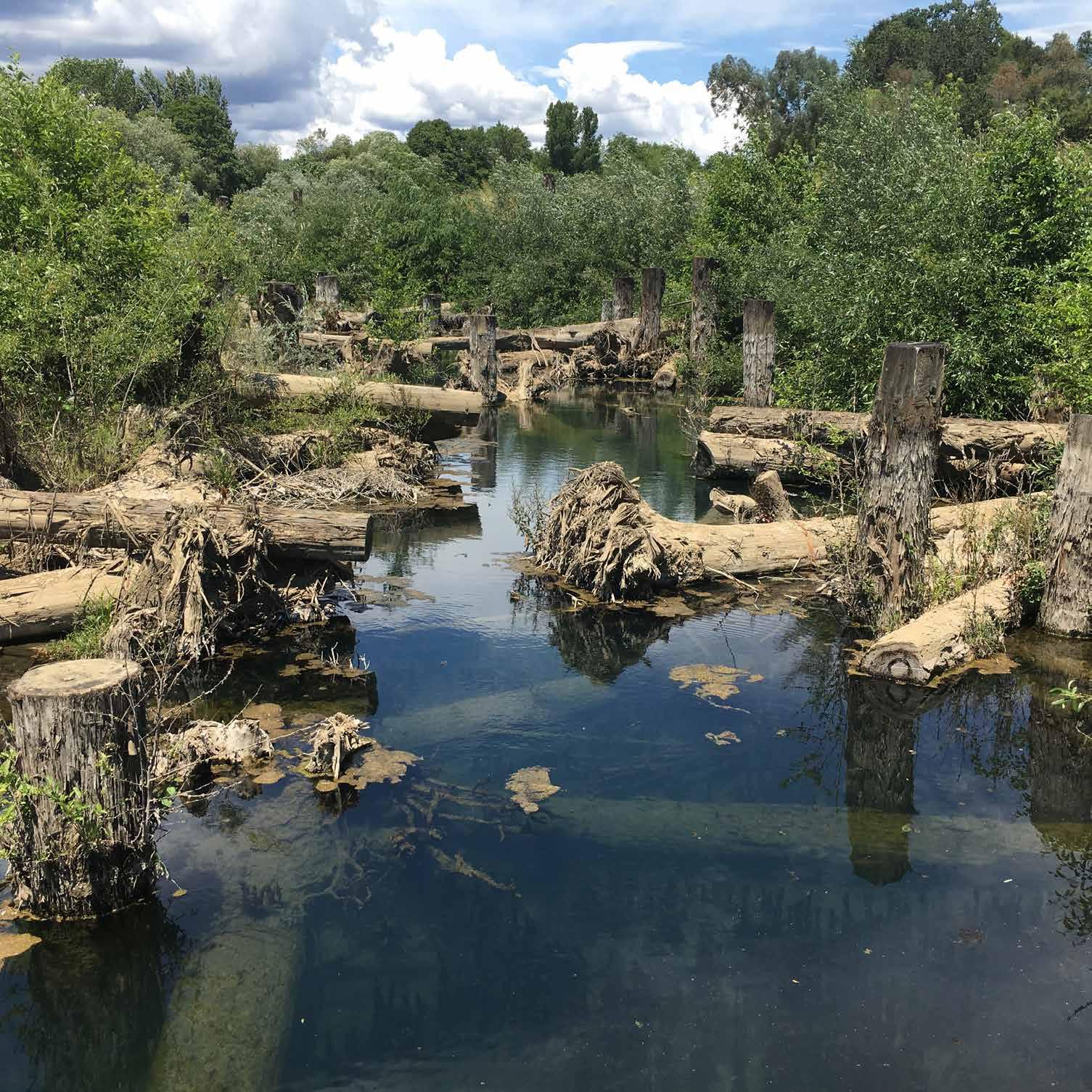
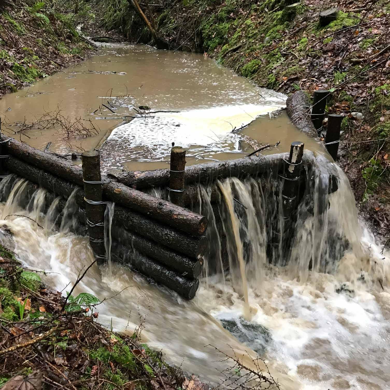
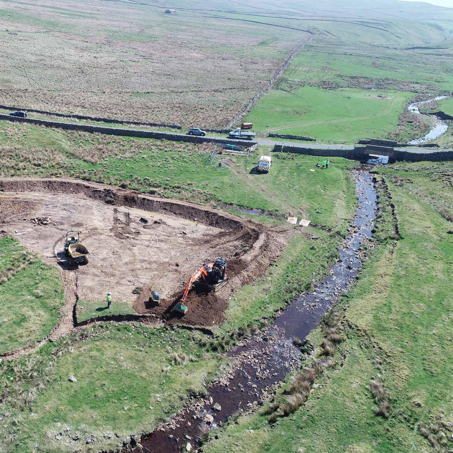
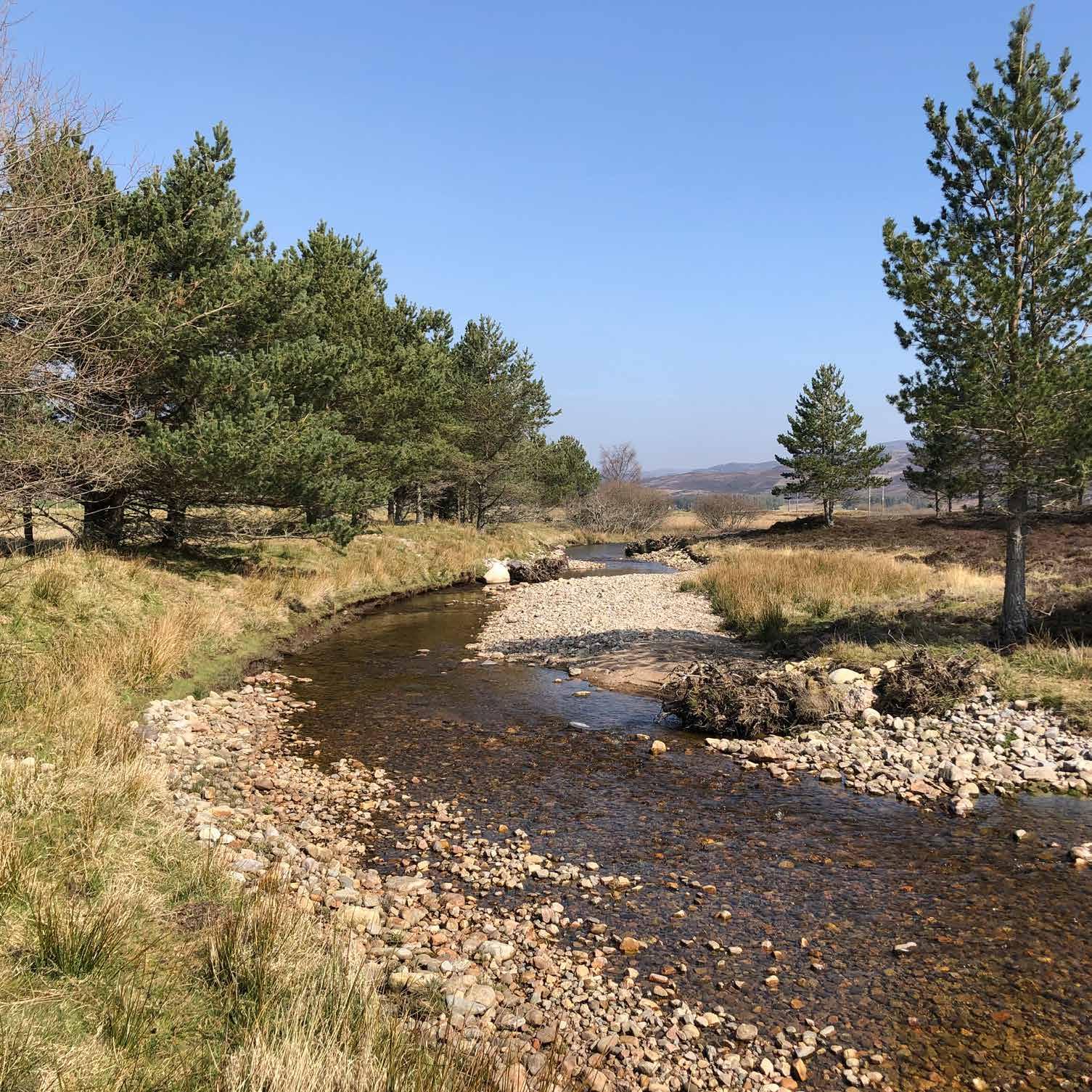
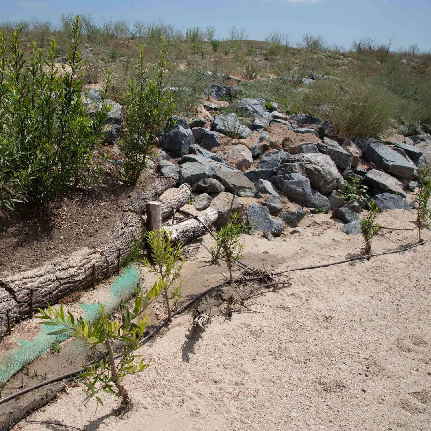
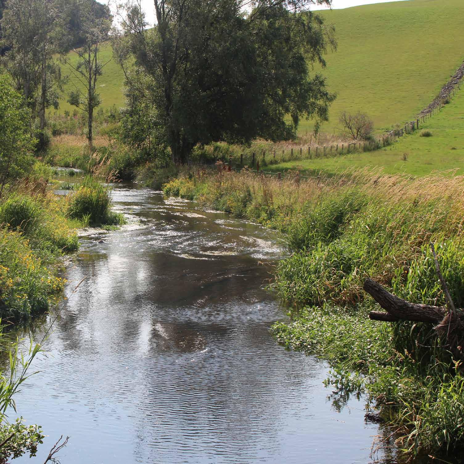
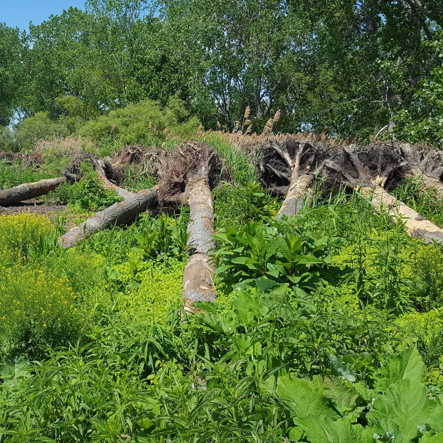
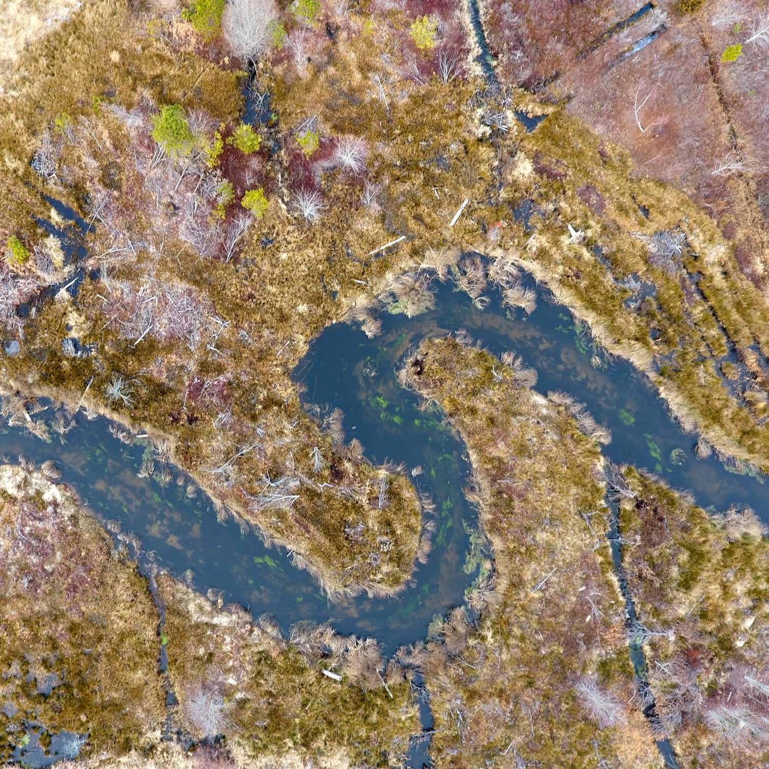
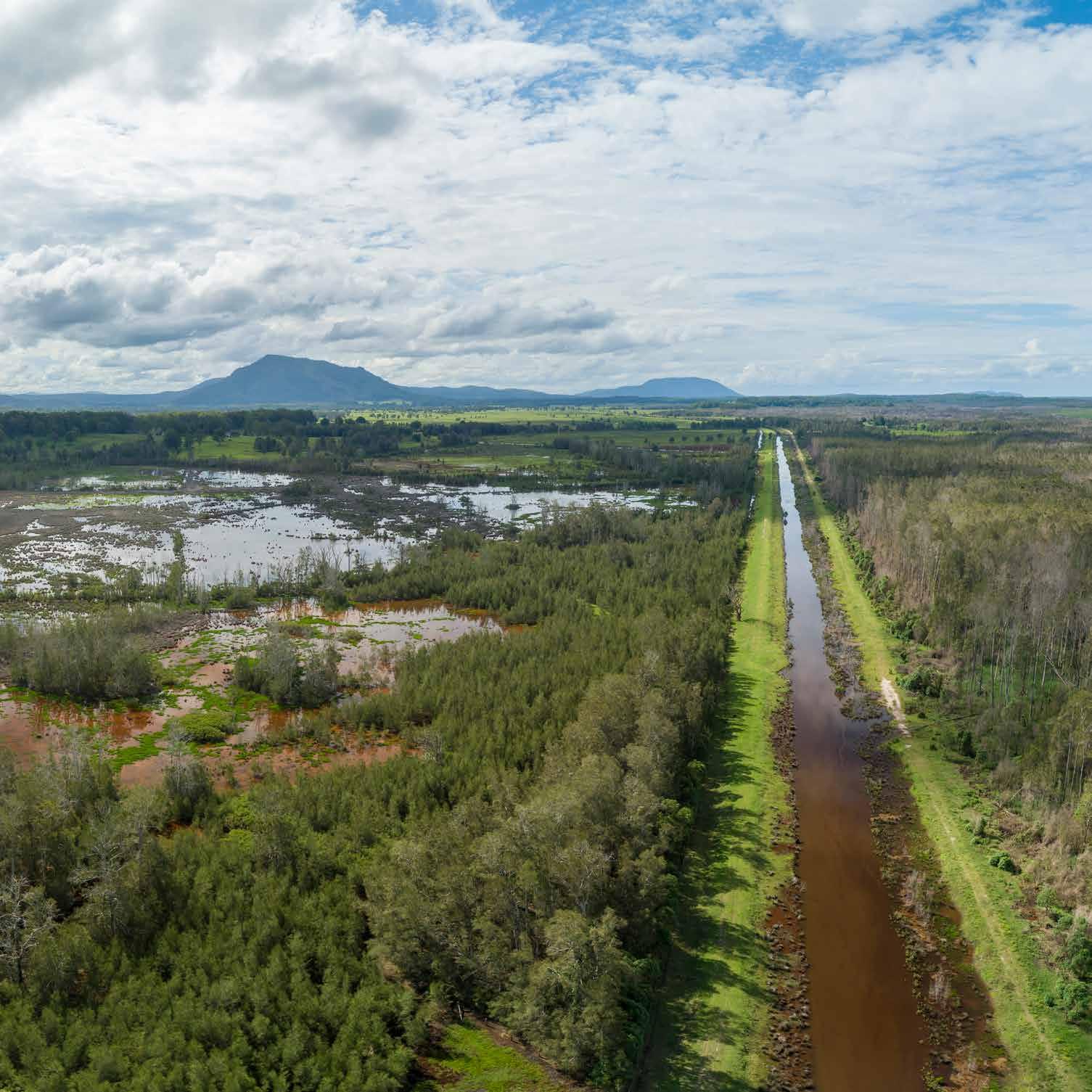
Alleviating flood risk on the Peak District Pennine fringe. Leighton Brook is a degraded ordinary watercourse that rises in the rural Peak District National Park headwaters and joins with the River Sett in the town of New Mills, Derbyshire. Historical maps of the river-catchment show that the landscape has lost more than 20 hectares of woodlands and trees in the last 100 years. The brook’s straightening and entrenchment along with overgrazed, hardened, and treeless hillsides speed up the rate at which rain reaches the watercourse, heightening flood risk in the built-up environment downstream, where no space exists for excess flood water during periods of high flow. This has resulted in 17 floods in the last 10 years. Therefore, in 2017, the Environment Agency, in partnership with Mersey Forest and the Derbyshire County Council conducted a catchment investigation. Piece Farm, a mixed livestock farm under a high-value government agricultural and environmental agreement for wading birds, manages the source waters and had already created two large attenuation ponds. To further mitigate flooding concerns, the project team tested a natural flood management scheme, planting a thousand willow trees and installing engineered logjams in 2019. These solutions create long-term, secure features in the landscape, delivering 3,000 cubic meters of attenuation.
196


