CARTOGRAPHIC ARCHITECTURE


Cartographic Architecture:
Specific Interventions that Project the Rural Revenge of Ulu Papar in 50 Years
 Amanda Mo ShuenYea


Specific Interventions that Project the Rural Revenge of Ulu Papar in 50 Years
 Amanda Mo ShuenYea


My esis began from a personal question of how and when should Architects act when the site presented hosts predominantly untouched landscapes and lacks Architecture. In a site where the human population is not a majority, should we, as Architects, still approach the site with an analysis that is similar to how we would in an urban or even suburban site?
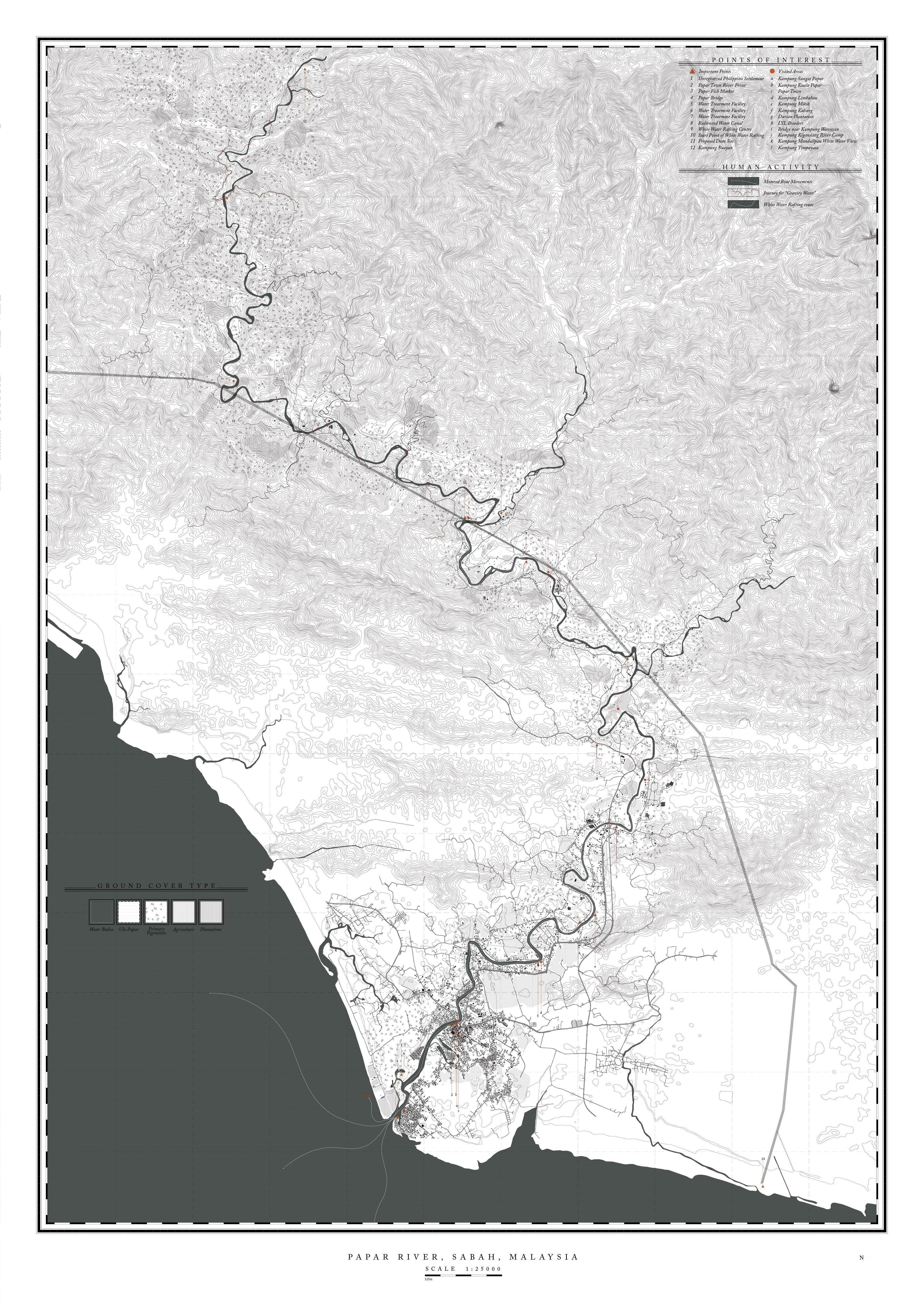
e Papar river in Sabah, East Malaysia was chosen to be my case study of this question. It runs from the Crocker Mountain Range for roughly 60km before merging into the sea. It meanders through the unforgiving terrain of the Crocker Range mountains and passes through small autonomous indigenous villages, plantations, agricultural plains, the sleepy Papar town and fishing villages. Like many tropical rivers, the Papar river has been used as infrastructure for transportation, resource, livelihood and is still contested over by the Government and various groups of locals.
In the middle of 2019, the Malaysian government confirmed the new site of the Papar dam, estimated to be around 150-200m deep. If built, it will flood half of the indigenous kampungs in Ulu Papar, forcing them to relocate to another location that does not allow them to continue living their unique way of life and basically, plummets them into poverty. e Papar dam is not merely a search for resource, but is a war for land ownership and power.


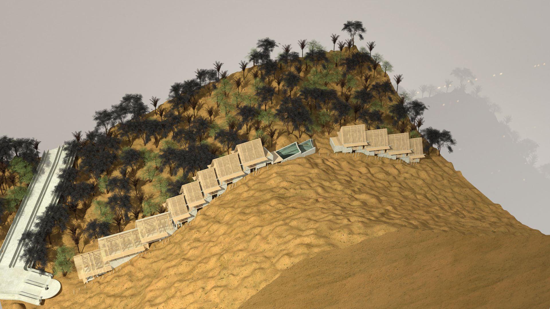

Papar in 50 years
e Indigenous populations of Sabah have a unique way of life that does not revolve around the making of money. Instead, they depend directly on their environment for food and water. Do not be mistaken, however, that they live without modern day essentials. Many have returned from working professionally in mainland Malaysia and most villages have solar powered panels, micro-hydro weirs and power plants. eir unique differences are firstly, that they build everything themselves and own a strong skillset. Secondly, their ideology of understanding one’s place in the Ecology of their environment.My esis is based on that narrative of returning indigenous peoples partnering up with an Architect (me) to design their Rural Revenge through specific architectural interventions that will project the 50 year future of Ulu Papar.
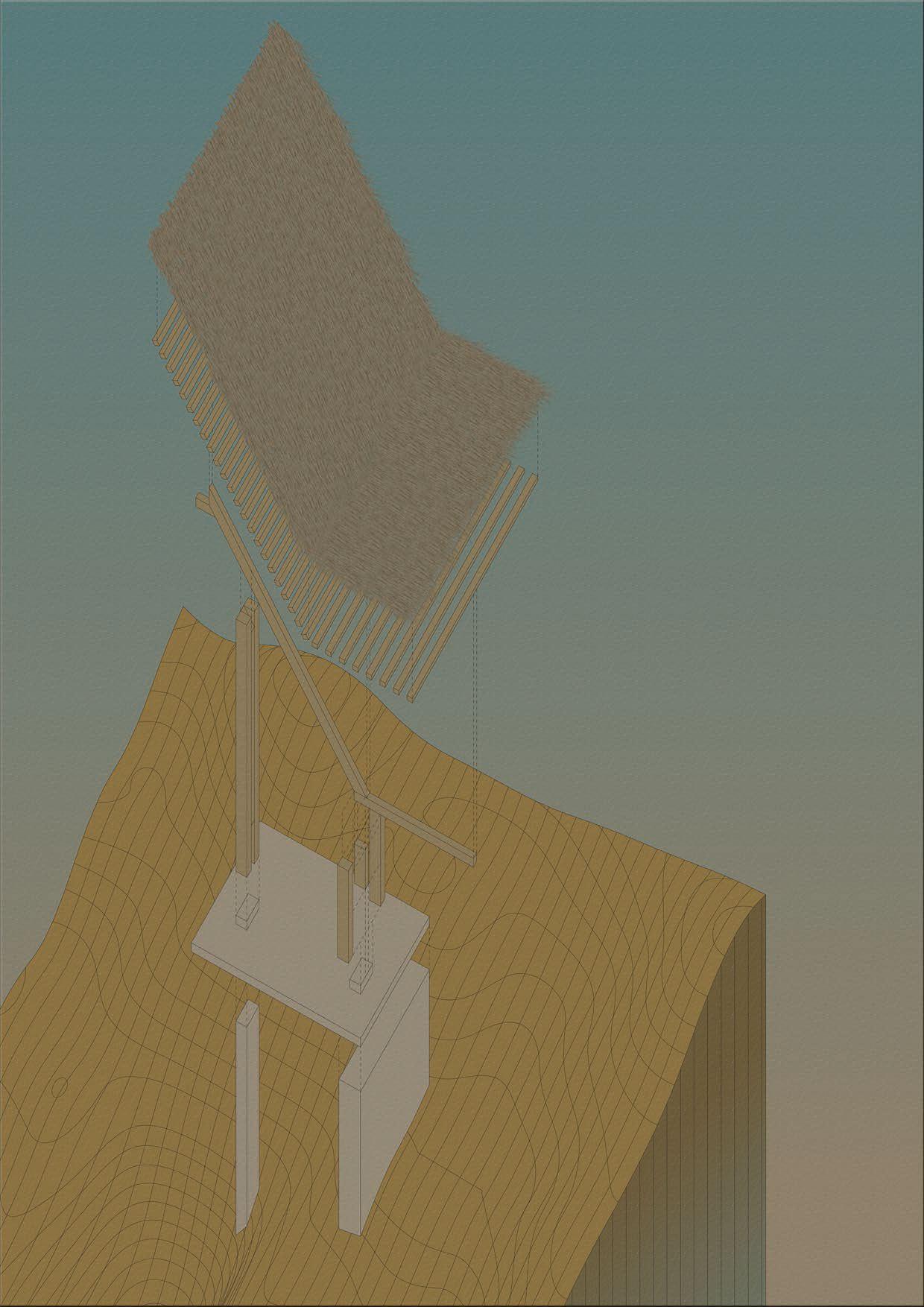
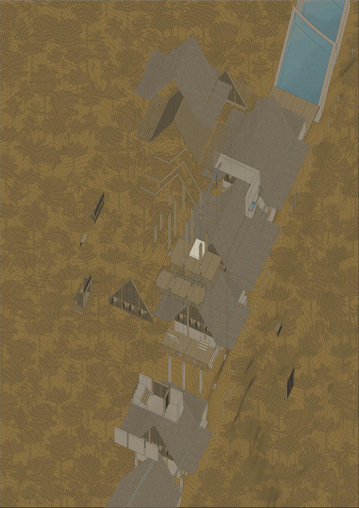
ese interventions exist on two intersecting planes - the Aesthetics of representation, and the Architectural product. I look at how representation and aesthetics affect our perception of a site and how it can be disected and redesigned to serve as a lens, guiding how an Architect traverses the Ecology of the site in relation to its themes. On the flipside of the coin, the Architectural product manifests these concepts into realisable construction details, Architecture and programmes. ese together act as seeding points and examples for the growth of Ulu Papar for the next 50 years.

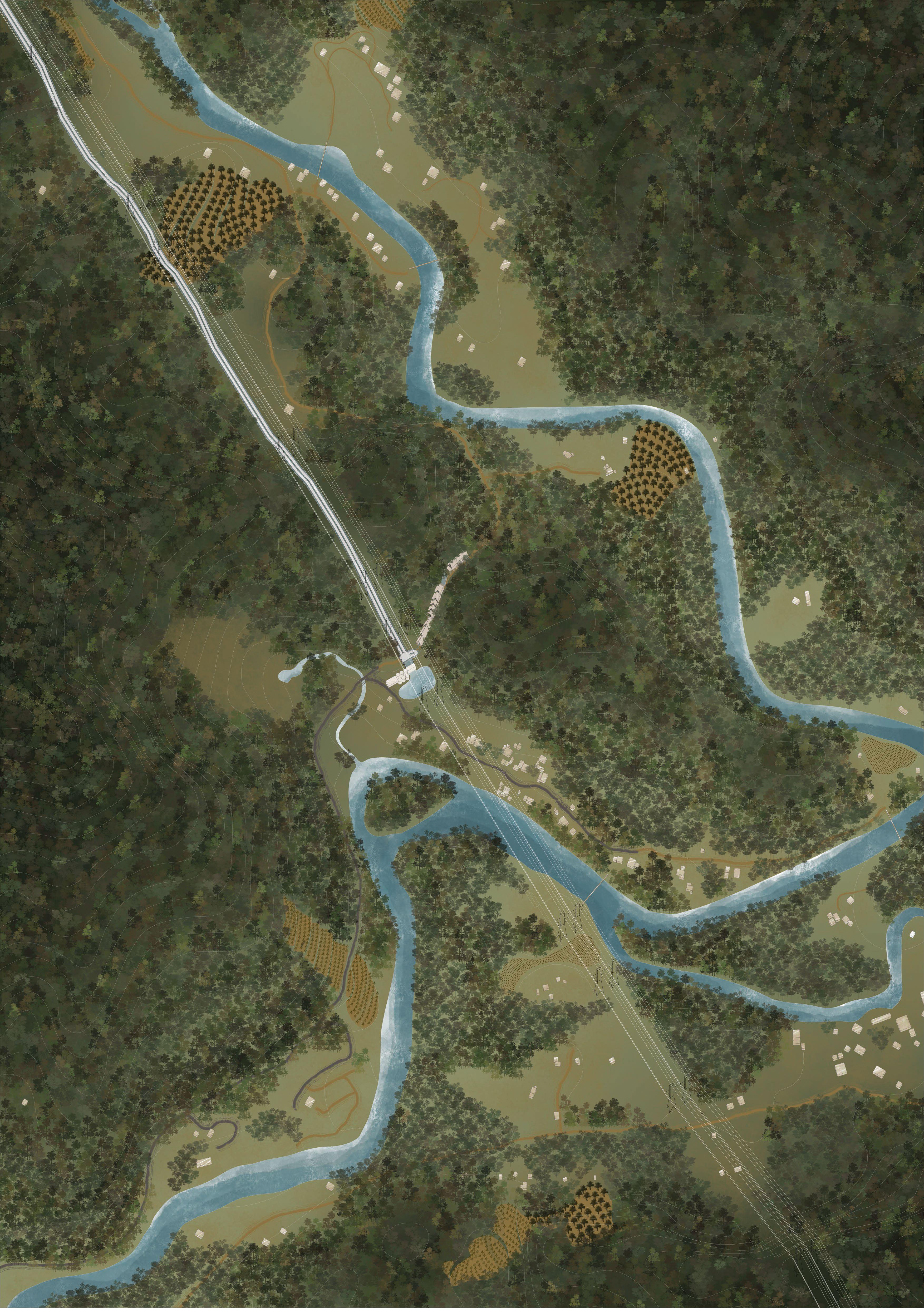


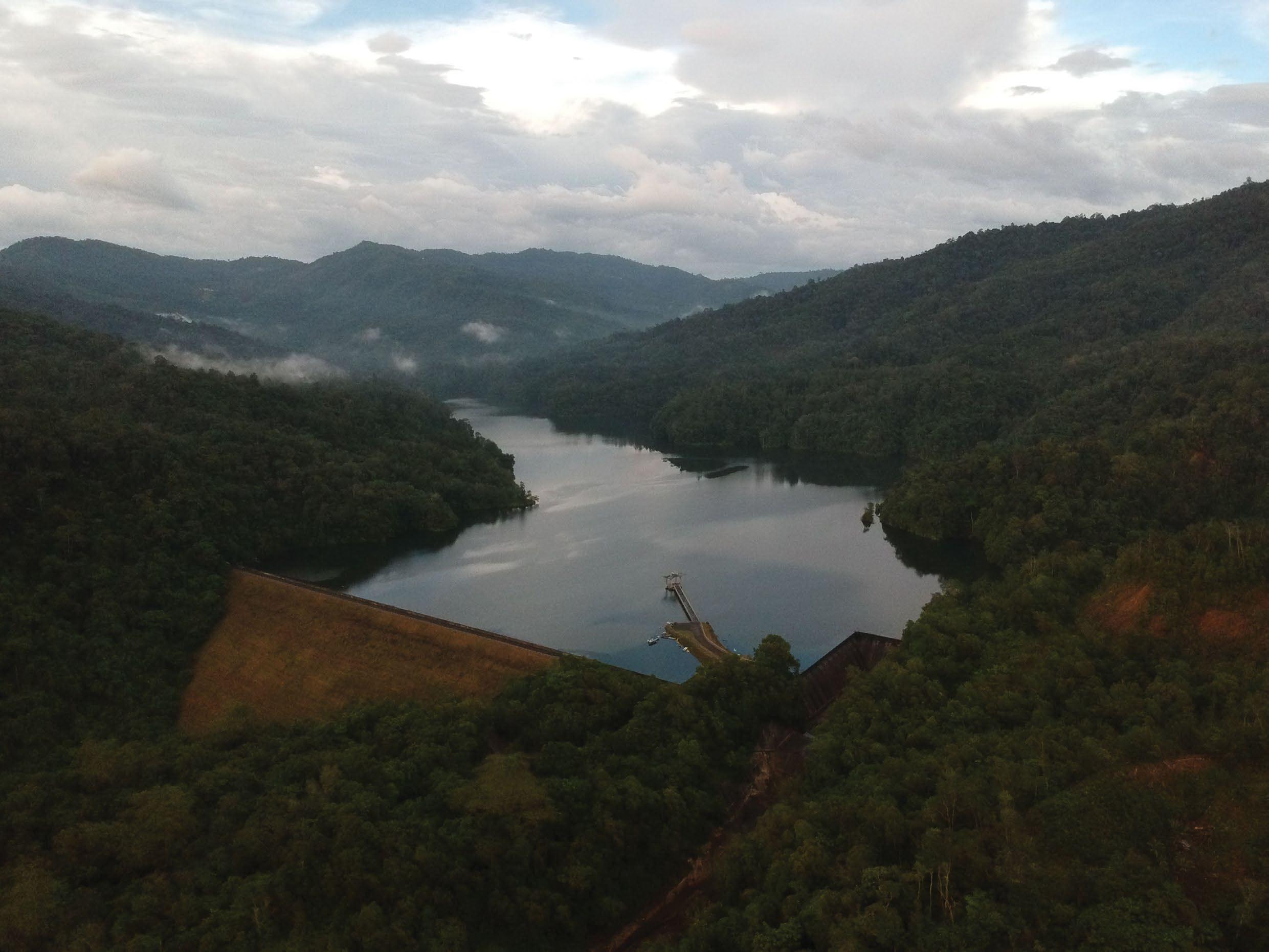
e Papar dam has been in the talks for nearly 2 decades and is estemated to be around 150-200m deep. If built, it will flood the ancestral burial grounds of the indigenous villages and basically, plummet them into poverty and disorientation.Half and hour away from Kota Kinabalu,the Babagon Dam is damaged and left unrepaired from the earthquake and 30% of Water is lost every month. Clearly, water resource is not the main concern. e Papar Dam is a struggle for land ownership and the politcs of race and religion. e marvelous visuals of dams mask the underground truth of what was at stake in building that dam.
 e Dam Truth
In the last week of August, 2019, I set out with a friend, to Sabah, East Malaysia, to visit the Papar river.Being such an unknown destination,I knew very little about the Papar river before I actually was there. e tumultuous terrain and the long bendy Papar river were both disorientating and magnificent.
Over the course of 1 week,I discovered the Papar river and its surroundings by foot,car and boat. On the first day itself, we found ourselves spontaneously hiking for 4 hours one way, to Kampung Timpayas and just when we felt the fatigue of the heat and terrain, we had to cross a large stream. e picturesque aerial views of the Papar river i saw from the airplane the day before was a mere reduction of the actual site and its surprises - both good and bad. And the beautiful landscape that leaves you speechless seemingly mask the true stories and struggles of the ecology of the Papar river.
In the middle of December 2019, we returned to the Papar river to explore parts of the river we could not access before and met with Save Ulu Papar and Pacos Trust,non-profit organisations that are working against the building of the Papar Dam. ey shared how they had zoned areas for different types of activities based on their knowledge of ecology. ey also expressed their want to map their villages and our meeting turned into a spontaneous parties both ways.
I did not expect my site visit turned expeditions to leave me feeling as heavy-hearted as it did. is is not a esis about an idealistic Garden of Eden. is is me trying to find my place as an Architect in the decade of Climate Change.

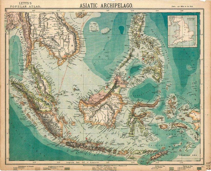
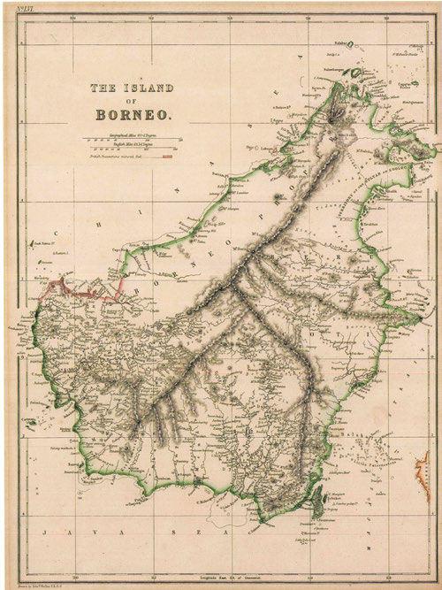
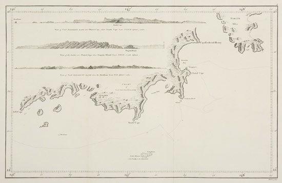
 From Left to Right Old Maps of the Asiatic Archipalego ; and e Island of Borneo | Edward Weller, Glasgow, 1972 | both from the book “Maps of Malaya and BorneoDiscovery Statehood and Progress” ( e Collections of H/R/H/ Sultan Sharafudin Idris Shah and Dato’ Richard); and Trip Equipment











24-8-2019
Flight SIN to BKI
Contact Local Activist Group

25-8-2019
Hike to Timpayasa Village in Ulu Papar
26-8-2019
Kampung Kuala Papar
Papar Town
Papar Town River Front
Kampung Limbahau
Kampung Mikik
28-8-2019
Sabah State Library
29-8-2019
Bridge near Kampung Wawasan
Durain Plantation


Chicken Farm
Kampung Kabang
Kampung Pantai Papar
Pantai Papar
30-8-2019
Roundtrip Bot Ride from Kampung Pantai Papar to Papar Town
Papar Town
Kampung Kigandang White Water Raafting Start Point
Kampung Madalipau White Water Rafting
11-12-2019
Kampung Tabilong
MicroHydro Plant at River Crossing
12-12-2019
Papar Town
Kampung Sungai Papar
13-12-2019
Kampung Kaiduan Aquaculture Farm
Kampung Kaiduan School
Rubber Plantation near Kampung Kaiduan
14-12-2019
Meeting with Save Ulu Papar Non-profit Organisation
Babagon Dam
Kampung Tampasak
From Left to Right Digital Version of Sample Model with my Map of the Papar River, Sabah Malaysia | 841 x 594mm; Picture of Physical Sample Model | 841 x 594mm
 25.8
Stream near Kampung Timpayasa

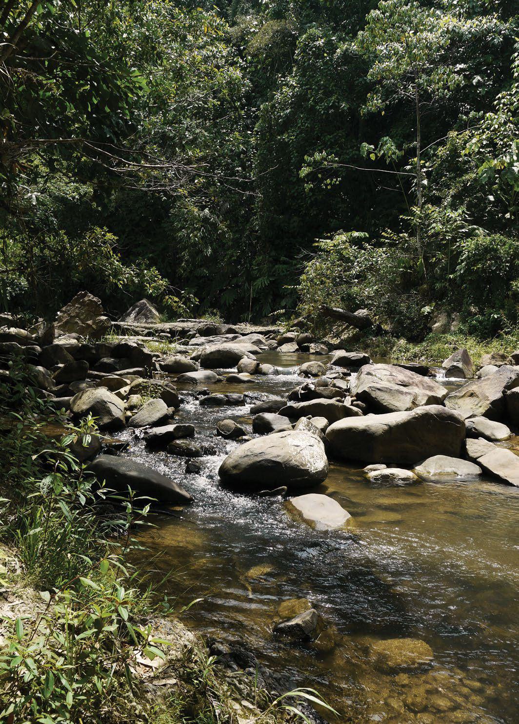 Fresh Water Stream | Towards Papar River
25-08-2019
Taken near Kampung Timpayasa
25-08-2019
e local indigenous population in Ulu Papar visit fresh water streams once every few days to retrieve fresh water supplies. ey call this ‘air gravitas’ or ‘gravity water’.

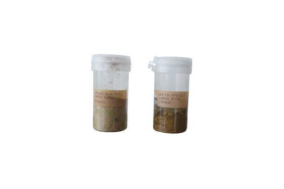
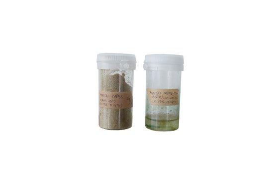
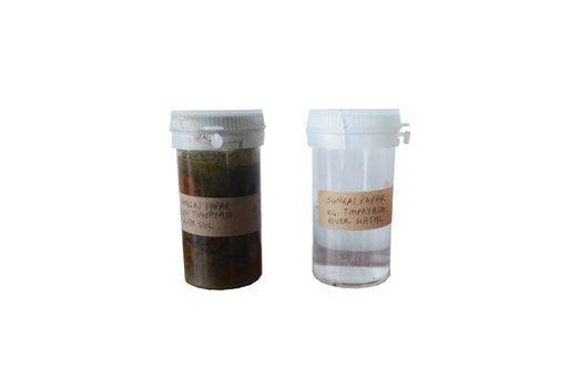
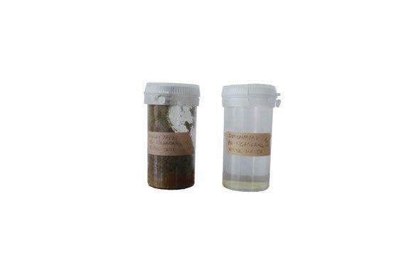
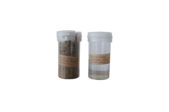
During the hike to Kampung Timpayasa, I crossed one of these streams and retreived water and soil samples. e water from the stream is extremely clear and cool despite the reddish-brown clay like soil that makes up the river bed.
ese Streams are almost more important than the main river itself as it feeds it with clean fresh water supply. It also provides multiple micro-habitats for the wildlife in addition to the fresh water resource for human inhabitants.
 Fresh Water Stream near Kampung Timpayasa
Fresh Water Stream | Towards Papar River 25-08-2019


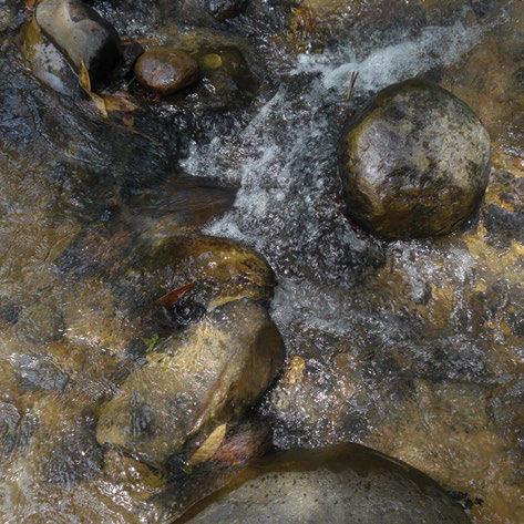 Algae, Rocks, Stream Water
Pipes Connecting Stream Sources to this Stream | Upstream
25-08-2019
Taken near KampungTimpayasa
Algae growing on Rocks | Small Rapids
25-08-2019 Taken near KampungTimpayasa
Downstream | Towards Papar River
25-08-2019
Taken near KampungTimpayasa

 25.8 Kampung Timpayasa

25-08-2019
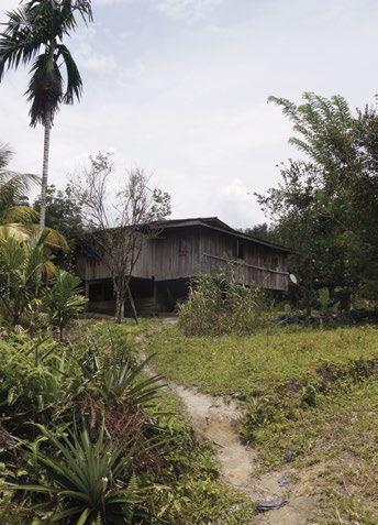
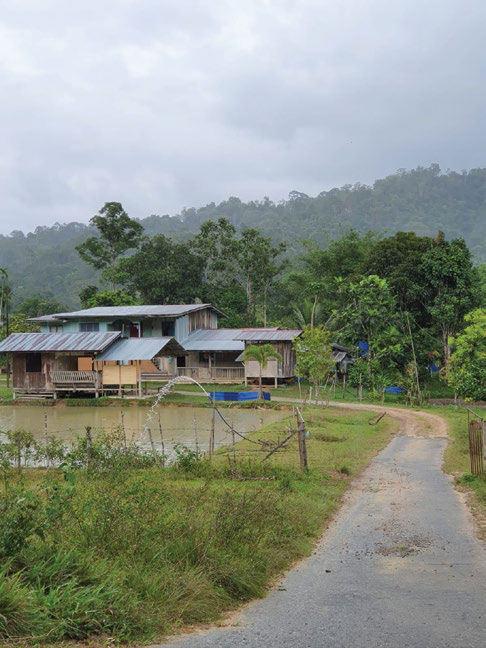
Kampung Timpayasa is deep in Ulu Papar and houses a community of indigenous Dusun people. e Kampung is situated on a hillside beside the Papar river. Its residents rely on the river for water supply and food as they are completely off the power and water grid of Sabah. Som of them are also employed by the government to manage and farm rubber or palm plantations on their land, earning a minor salary. However, these crops are controlled and hence, do not grant them economic power.
Despite being off-grid, they expressed their want for electricity as they have self-installed solar panels. ey are however, not in favour for the dam as it will force them to relocate and render their way of life impossible.
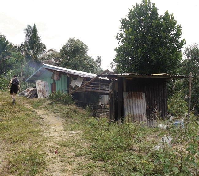
e hike to Kampung Timpayasa was a long and strenious, yet impeccably beautiful. What you find in Kampung Timpayasa showcases the handiwork and unique ability of the indigenous people and the values of their way of living. One of the villages I met there used to work in Kuala Lumpur as an electrical technitian before moving back to his Kampung as he preferred the way of life there.
House with Solar Panels | Self-made 25-08-2019
KampungTimpayasa
Pond, Redirected from Papar River | Plantation Water Supply
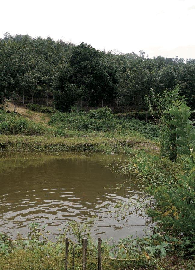
25-08-2019
KampungTimpayasa

 26.8
Kampung Kuala Papar

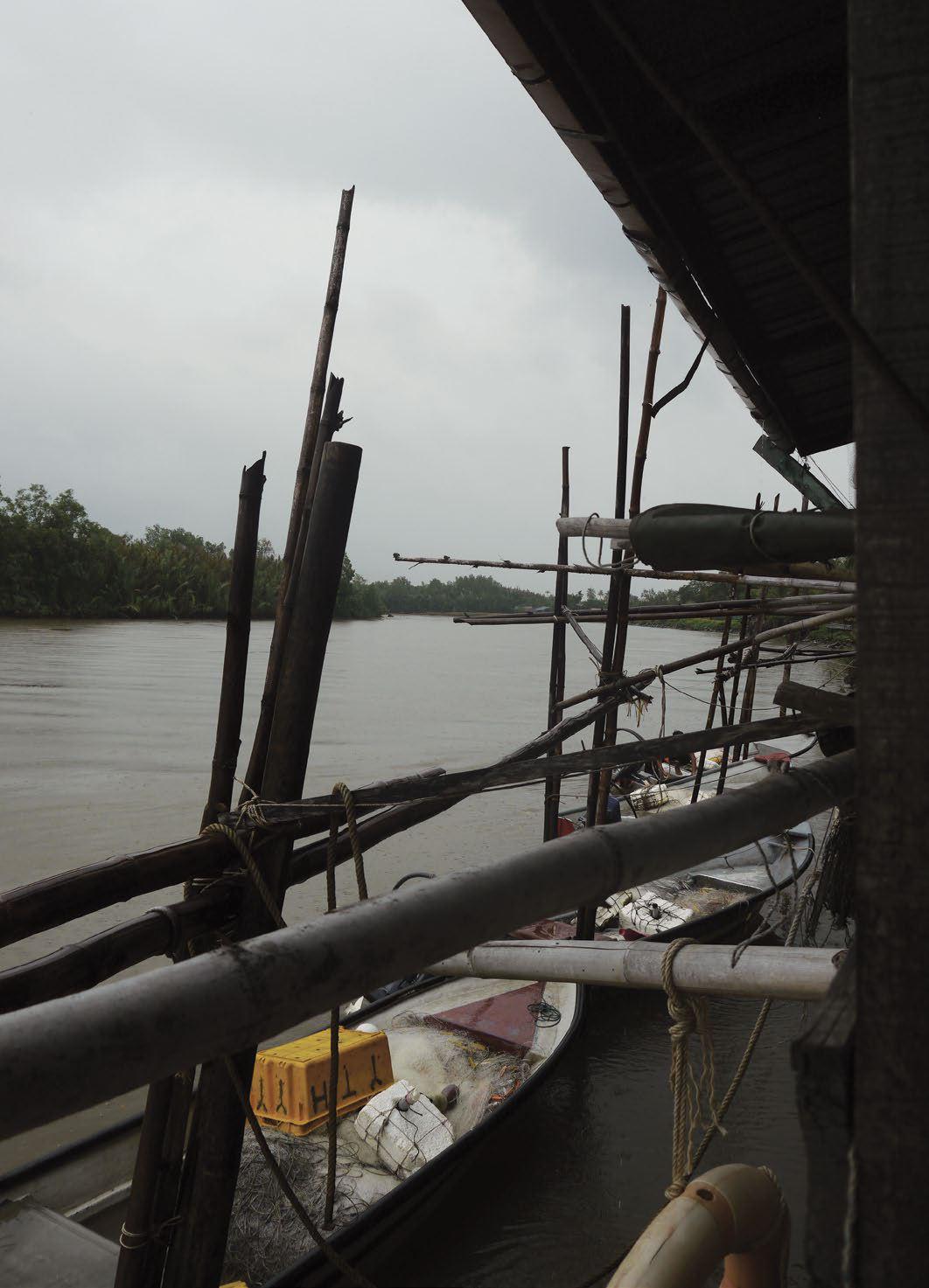

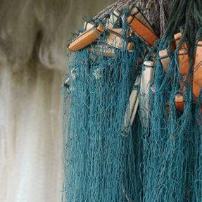


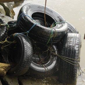
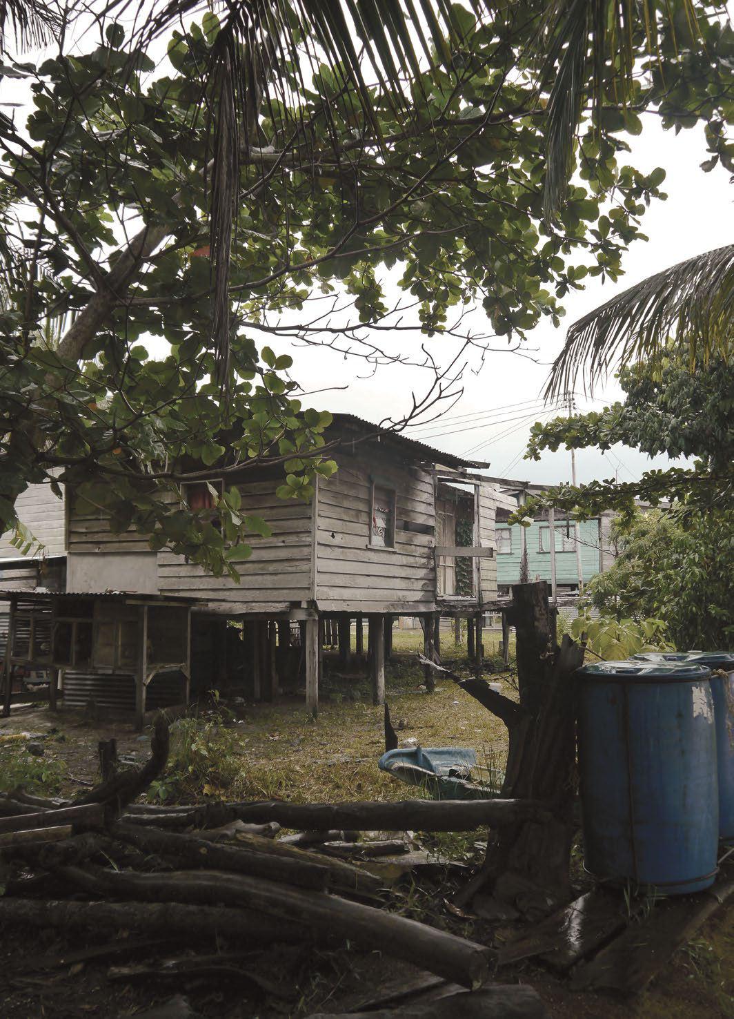
fish in the Sea rather than in the Papar river as there are more fish in the sea. After a morning of fishing, they will drive their boat to the fishing market jetty of Papar town to sell their fish. the residences here are keen on the dam as they experience power shortages and are not very well connected to the power and water grid. ey do not see the connection between the dam and the loss of river that might change their livelihood as well.
e river water here is a murky brown and not very clean at all as it washes away not only soil and debris from upstream, but also carries the pollution and rubbish released into the river at Papar Town. e houses in this village also do not have toilets and all businesses are dropped directly into sea or river.
e village also experiences alot of flooding in from the high tides of the sea and most of their traidtional houses are built on stilts. e residents are very friendly and one of them agreed to bring us on a boat ride on another day.


 26.8 Kampung Limbahau

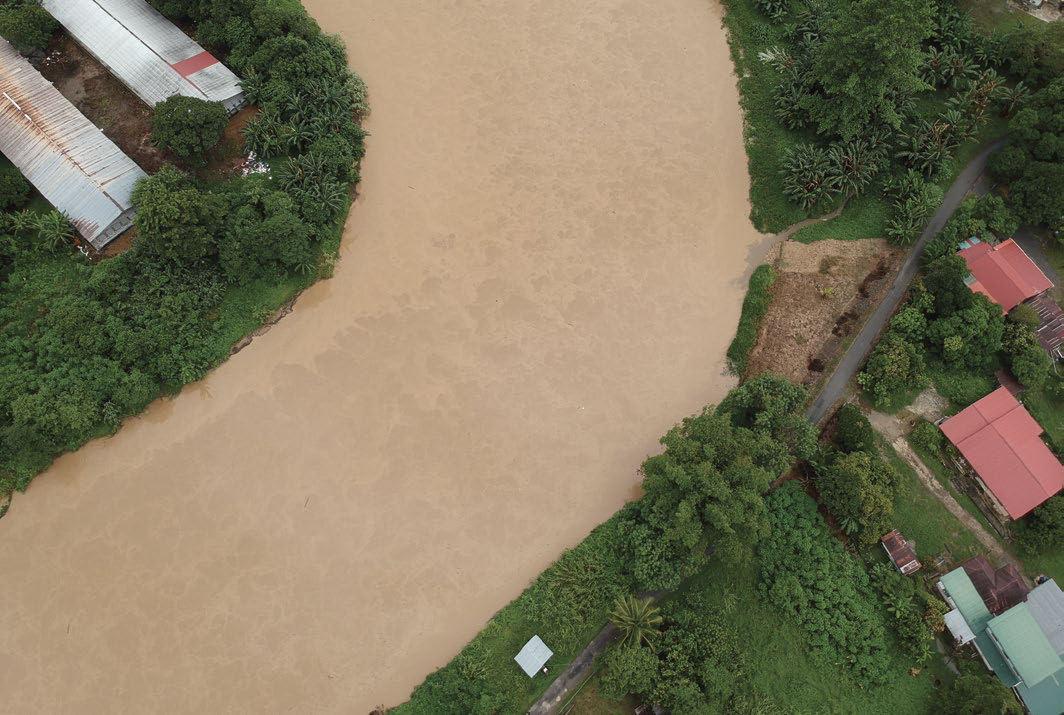
 Water Treatment Plant | Papar River 26-08-2019 Kampung Limbahau
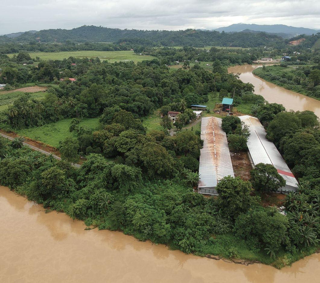
Aerial View| Papar River 26-08-2019 Kampung Limbahau


fish in the Sea rather than in the Papar river as there are more fish in the sea. After a morning of fishing, they will drive their boat to the fishing market jetty of Papar town to sell their fish. the residences here are keen on the dam as they experience power shortages and are not very well connected to the power and water grid. ey do not see the connection between the dam and the loss of river that might change their livelihood as well.
e river water here is a murky brown and not very clean at all as it washes away not only soil and debris from upstream, but also carries the pollution and rubbish released into the river at Papar Town. e houses in this village also do not have toilets and all businesses are dropped directly into sea or river.
e village also experiences alot of flooding in from the high tides of the sea and most of their traidtional houses are built on stilts. e residents are very friendly and one of them agreed to bring us on a boat ride on another day.


 26.8 Kampung Limbahau


 Water Treatment Plant | Papar River 26-08-2019 Kampung Limbahau
Aerial View| Papar River 26-08-2019 Kampung Limbahau
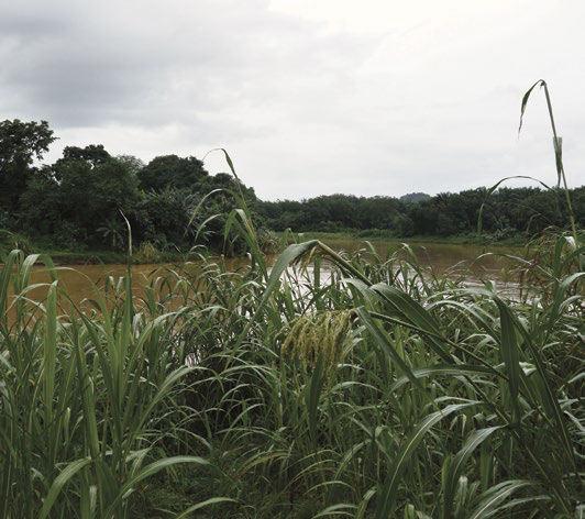
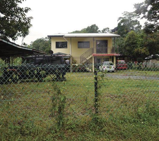 Tall Grass| River Bank
26-08-2019 Kampung Limbahau
House of Dusun Resident| Beside Papar River
26-08-2019 Kampung Limbahau
Aerial View| Papar River Bend
Kampung Limbahau
26-08-2019
Kampung Limbahau is home to many families of Dusun and Kadazan origins. ey are however, not in communication with the indigenous population in Ulu Papar. When asked about the dam, they reply that they understand that the river will dry up but are not that concerned with it as it does not affect their livelihood or lifestyle. eir Kampung is well connected to the power and water grid and thier dependency on the Papar river becomes more indirect. at being said, their wtaer source is still the Papar river. Water is collected through a channels into a water treatment plant before being piped to the houses underground. is disaccordance between the under and above ground systems are similar to that of the ecology of the Papar river where ground water supply may not necessarily be reflected in the river siutation above.
At this section of the river, the water is still a murky brown, mostly from carrying debris and soil downstream. It is still deep enough for motorboats to move through. e River banks are flushed with tall grass or dense vegetation, with a spotting of self-made jetties and lookout points.
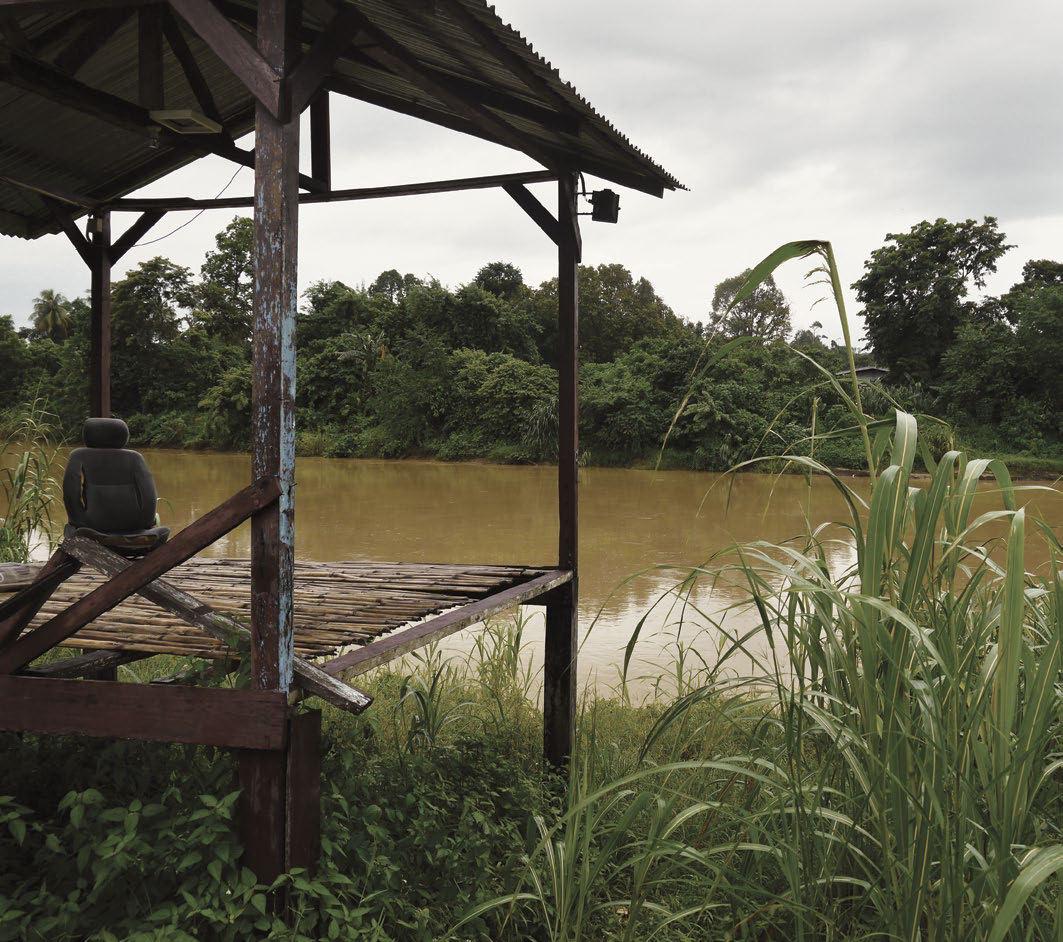 Self-made Lookout Point | Papar River
26-08-2019 Kampung Limbahau

 26.8 Kampung Mikik

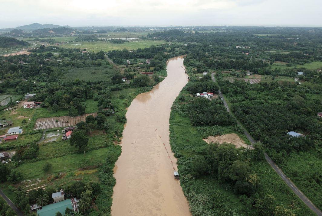
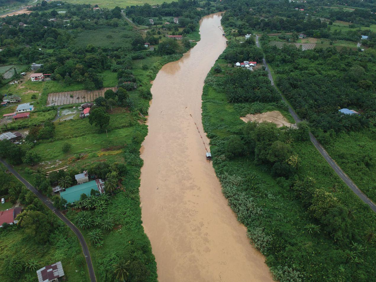
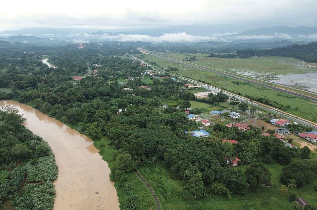 Aerial View | Papar River and Agricultural Plains
26-08-2019 Kampung Mikik
Aerial View| Papar River
26-08-2019 Kampung Mikik

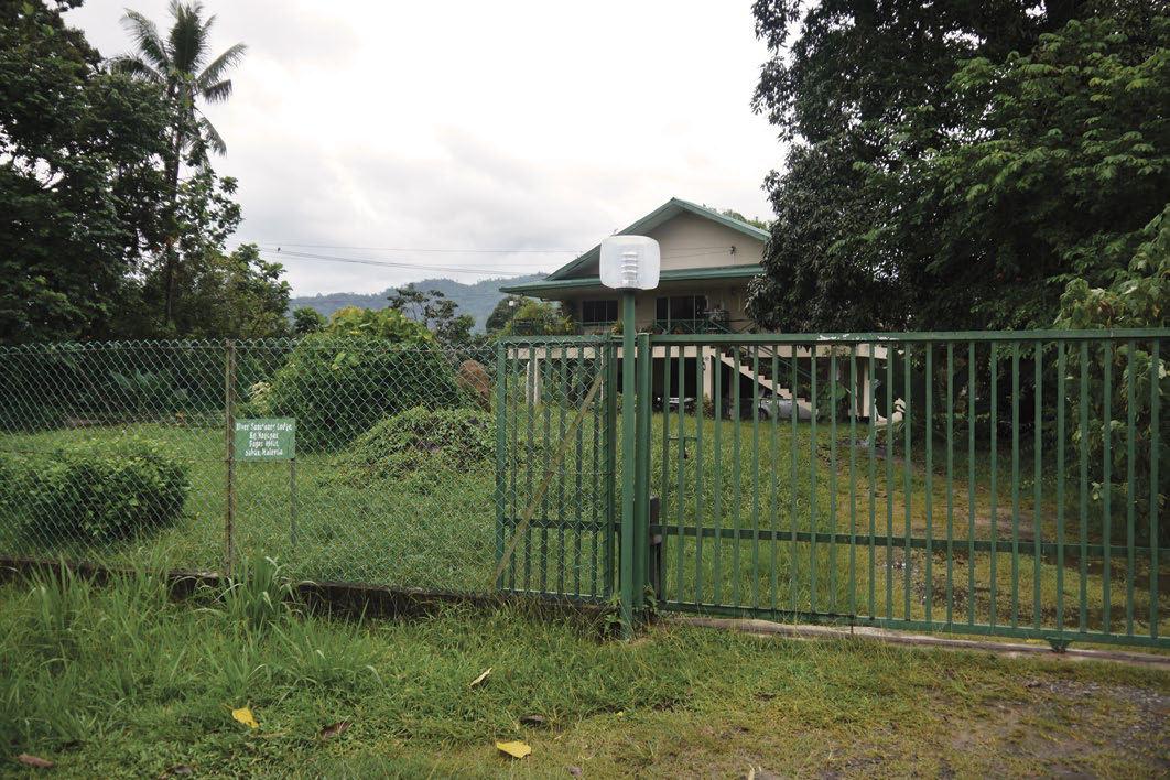 Guesthouse| Beside Papar River 26-08-2019 Kampung Mikik
Papar River | River Banks
more invested in the river as a water resource and it makes them concerned about the dam plans in the future. However, they trust that the government will plan for the water supply of their agriculture stock.


 29.8
Bridge near Kampung Wawasan

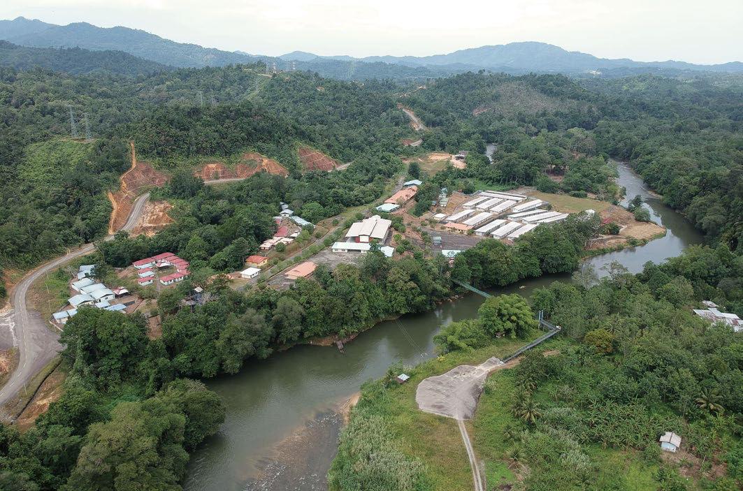
 Aerial View | Kampung Wawasan
29-08-2019
Taken from Near Kampung Wawasan via Drone
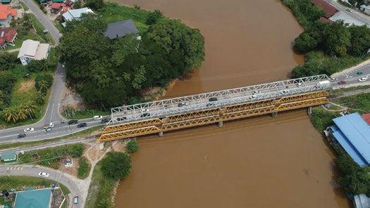
Aerial View| Papar River and Bridge
29-08-2019
Near Kampung Wawasan
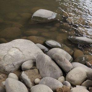


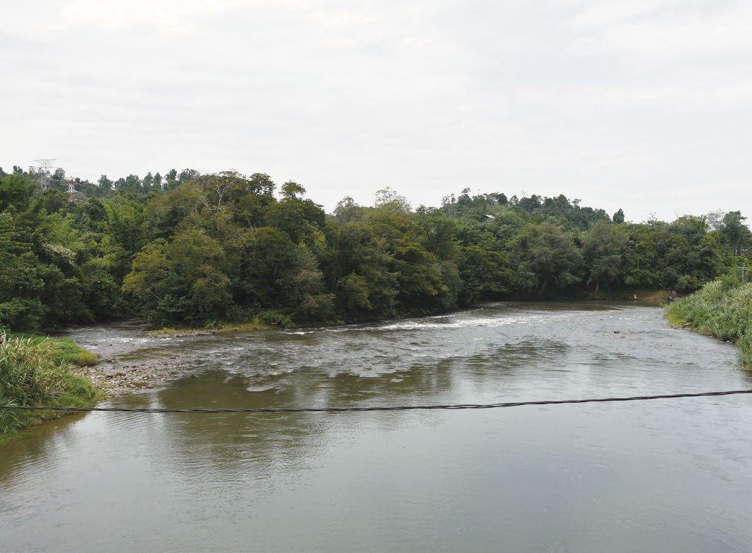 River Banks| Small Rapids, Large Smooth Rocks, Sandy Bank, Vegetated Bank
29-08-2019
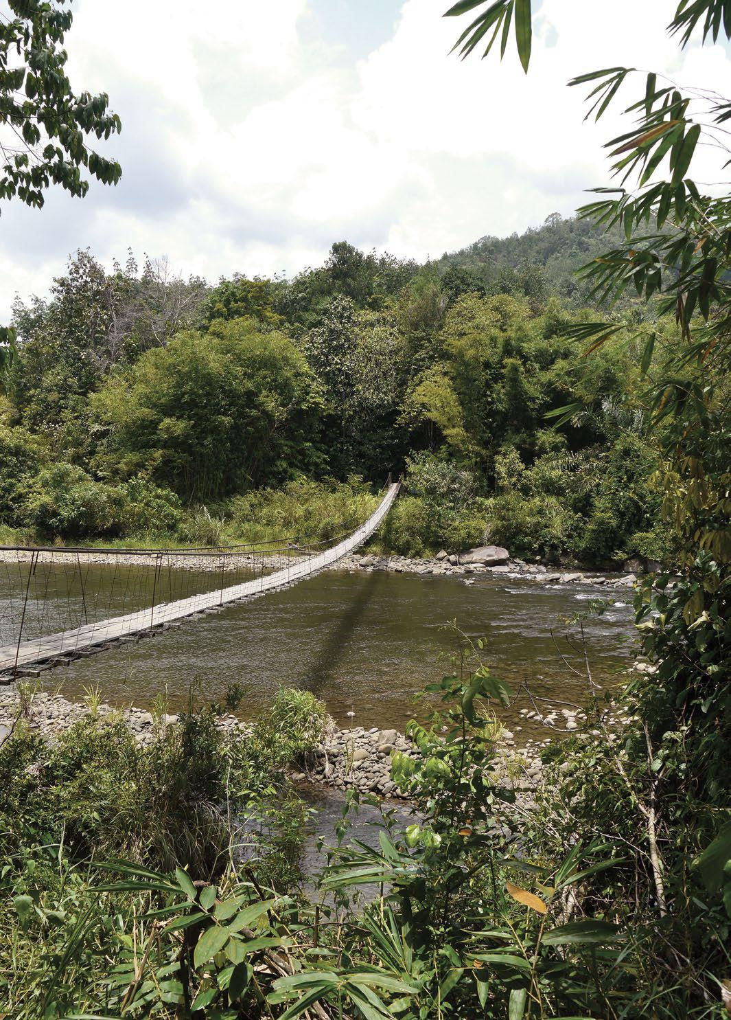
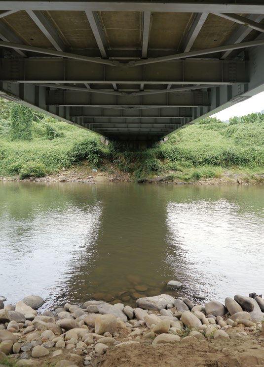
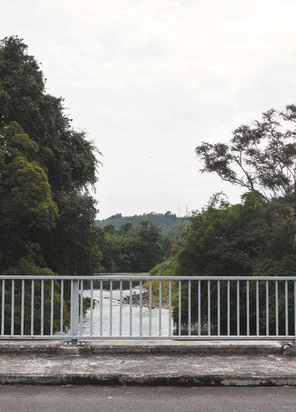
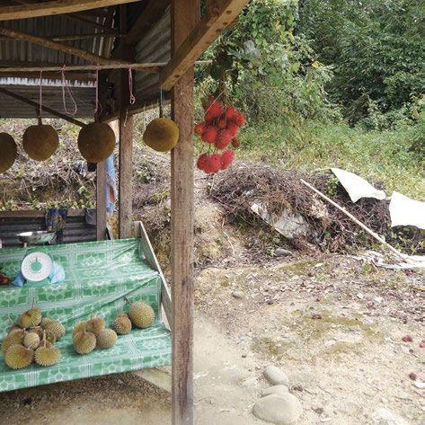
e bridge for cars to cross the Papar river located near Kampung Wawasan is also the place where the residents of Kampung Wawasan come to sell their produce including local fruits and crafts. Although the Kampung houses quite a large community and also has many agricultural and farming spaces, the environment where the bridge is located remains very quiet and serene, seemingly distant from the Kampung.
Dusun Fruit Store with Local Fruits| Beside Papar River 29-08-2019 near Kampung Wawasan Papar River| Below Bridge 29-08-2019 near Kampung Wawasan Upstream| Taken from Bridge 29-08-2019 near Kampung Wawasan
 Durian Plantation
LYL Breeder Chicken Farm


 Rubber Tapping | Rubber Plantation
13-12-2019 near Kampung Tabilong
Aerial View of Durian Planatation| Cleared Belt for High Power Tension Towers
A stretch of farms and plantations span across the length of the Papar river as they depend on the river for direct water supply. Many farm owners dig their own canals to supply additional fresh water to their crops and farms. It is unsure if the chicken farm releases waste into the river but from water sampling, the water around this point of the river is much clearer than that taken from Papar Town.

Plantations and farms however, are built very close or on the river bank, removing important transitional habitats and increasing the surface runoff into the river. e temperature of the surface runoff would also be higher than that of the river after flowing through the plantations. e amount of pollution would have also increased.Most of these crops are for the local population or are controlled crops such as rubber and palm.

Aquaculture Village| Redirected River Water in Fish Pond
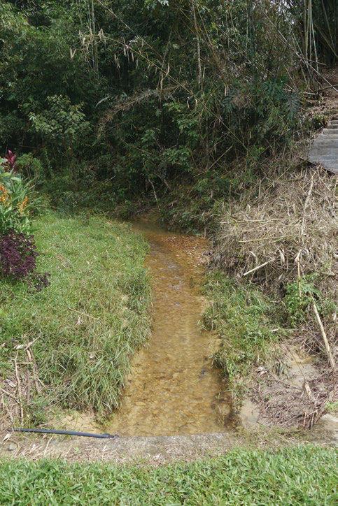
 Irrigation Channel| Redirected River Water to Rubber Plantation
13-12-2019 near Kampung Tabilong
13-12-2019 near Kampung Tabilong
Rubber Plantation
13-12-2019 near Kampung Tabilong

 29.8 Kampung Kabang


29-08-2019 | 13-12-2019
Kampung Kabang houses a majority Malay community and agricultural spaces. ey are connected to the power and water grid, although not so reliably. e residents are in favour for the dam as they believe it will improve their living situation. However unknown to them, the dam will not be supplying water and power to their Kampung. e dam which is built strangely only for water supply, will only be supplying water to Kota Kinabalu and not to the Papar region.
is Kampung was still accessile by car albeit through a bumpy dirt road.
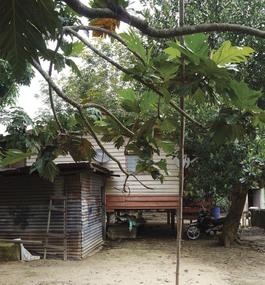 Self-made House on Stilts| Malay House
29-08-2019
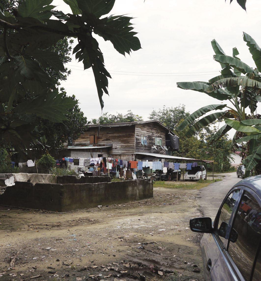 Wooden House with Laundry| Malay House
29-08-2019
Kampung Kabang

 29.8
Kampung Pantai Papar

Kampung Pantai Papar

29-08-2019
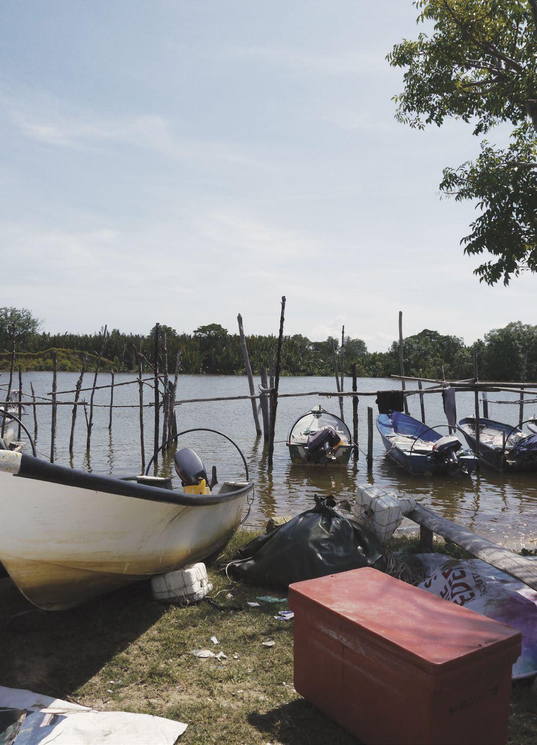
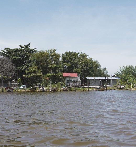
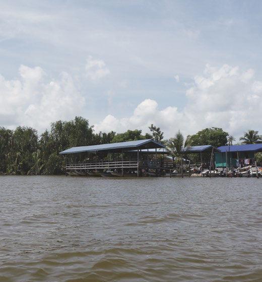
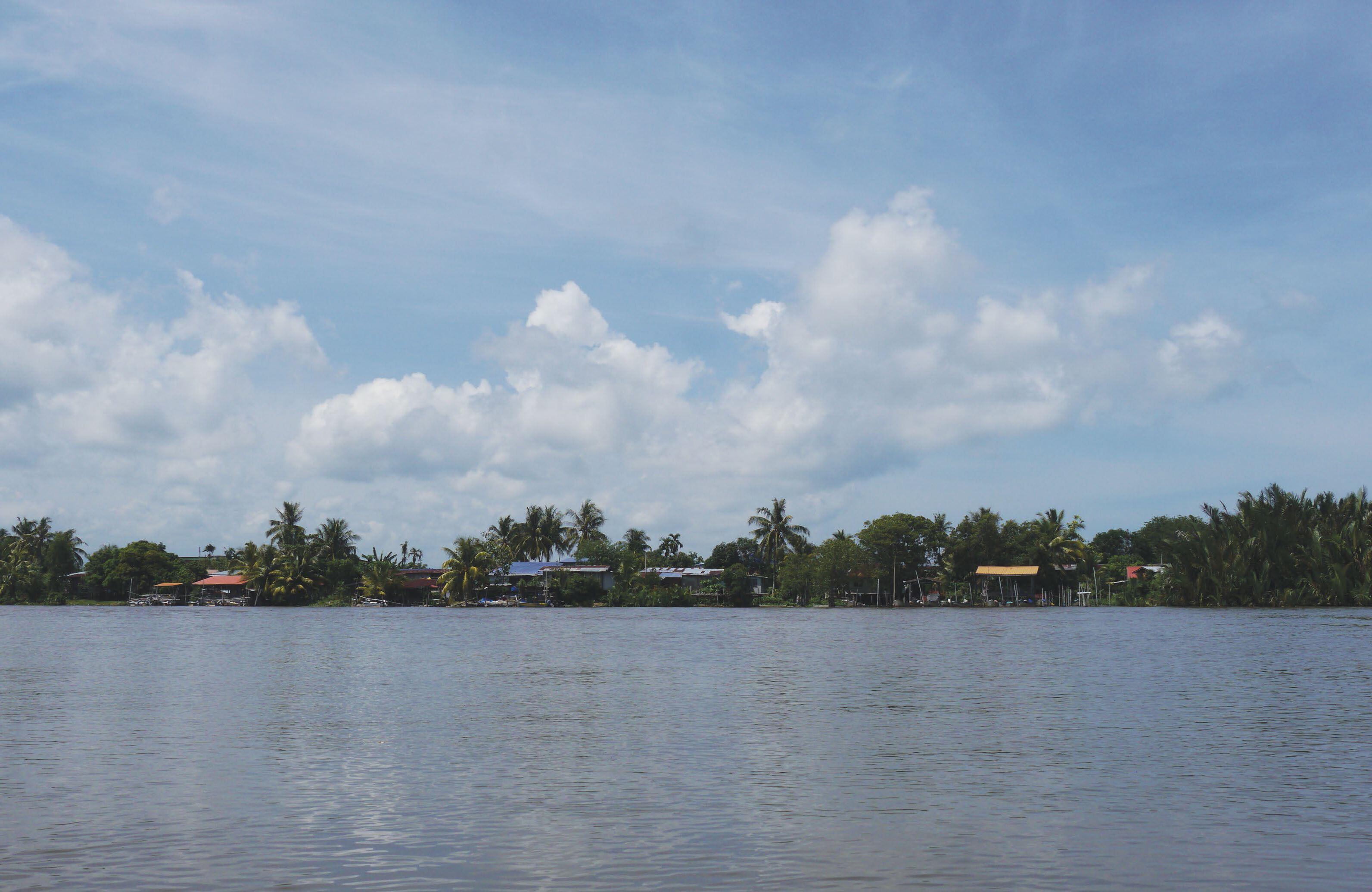
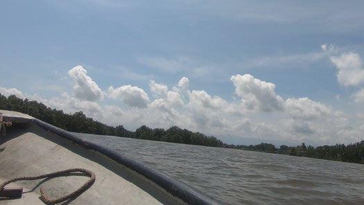
Kampung Pantai PApar is the village by the beach of Papar and houses many fishermen who line the beach with motorboats. I managed to get a boat ride with one of these fishermen on their way to the fish market in Papar town and was shown and illegal settlement on an island in the Papar River.


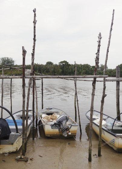
 From Top to Bottom Right Kampung Pantai Papar from the River; Pantai Papar from the Mouth of the River; Jetty; Low Tide; High Tide; Mouth of the River and the Sea| 29-08-2019, Kampung Pantai Papar

 29.8 Papar Town

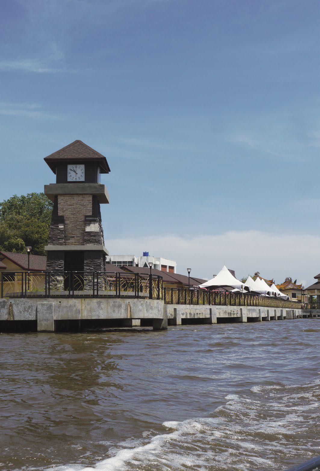


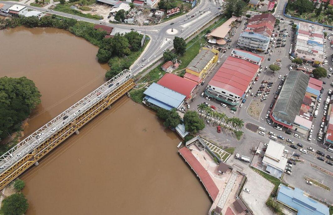
29-08-2019
e largest town that the Papar river cuts through is Papar town and it is historically famous for the long effort of trying to build the Papar bridge across the river for a railway.Today, the railway and a car bridge stands above the Papar river to connect Papar all the way to Kota Kinabalu. is town has many shophouses and a riverfront which is quite underused. Although it is the largest town Papar river cuts through, it is still a rather sleepy, slow-paced town. e population of the residents here are mostly Malays and Chinese.It houses both the town Mosque and Temple and the important Papar town fish market and jetty.
ere is no underground or above ground sewage pipes. Instead, most of the sewage is dumped straight into the Papar river and flows out into the sea. A small amount is emptied out into sewage vehicles and brought to a waste treatment facility nearer to Kota Kinabalu. e water is here is opaque brown and contains alot of unknown debris. It also emits a funky odour.
e river banks are mostly eaten into by buildings and new man made banks of rocks and stones are made to prevent soil erosion and flooding. e air temperature here is defintile the hottest amongst all the spots I have visited along the Papar river.
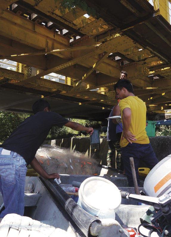
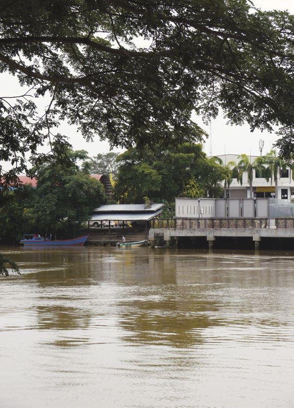 From Top to Bottom
Fish Market Jetty and River Front; Fishermen Exchanging Fish under Papar Bridge before goint to the Fish Market| 30-08-2019, Taken from the River at Papar Town
30.8 Kampung Kigandang


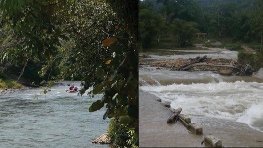
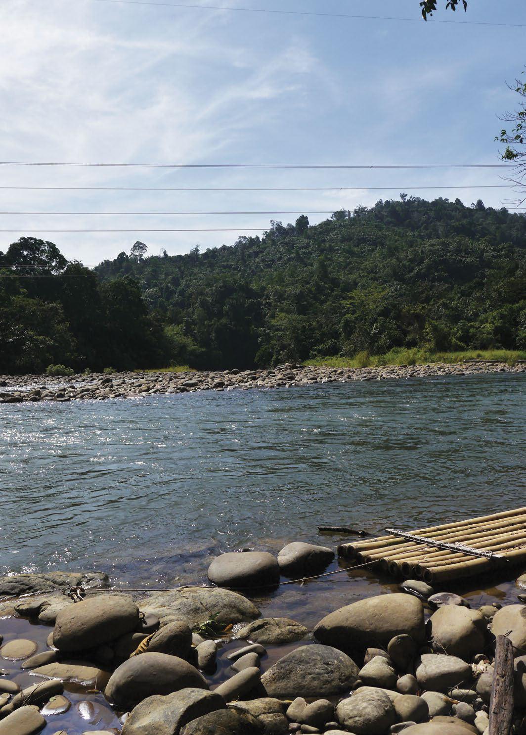 Traditional Raft and White Water Rafting Starting Point| Papar River
30-08-2019
Kampung Kigandang is used as the starting point for White water rafting along the Papar river. ey are working together with the rafting company and are paid to provide land, services and labour for this experience. is sort of partnership allows the indigenous people to gain more economic power and also interact with tourists to give insight on their way of life and culture.
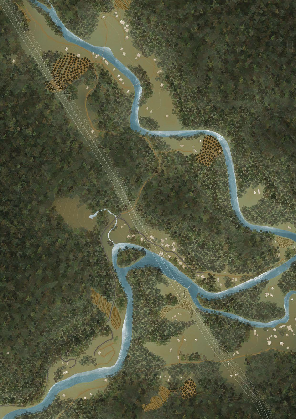
is Kampung houses Kadazan people and many traditional aspects of their culture is visible in their surroundings. ey also still use their traditional bamboo raft to bathe on the river. While they are connected to the power and water grid minutely, they still retrieve air gravitas and fish from the river. e river water herer is as clear as that from the stream although the locals say its not as clean. From the drone, the river is crystal blue littered with rapids and cuts through an island in the middle of the river. You can also see from the aerial shot, the high tension power cables that beside the Kampung and across the river. ese cables are supplying power to Kota Kinabalu and to lay the towers for these cables, a belt of land is cleared.
Kampung Kigandang was difficult to access to via a sedan car and most of the locals use either motorcycles or four-wheel drives to travel our of Ulu Papar. ey do however still hike for hours from their Kampung to another occasionally. e Kampung unfo


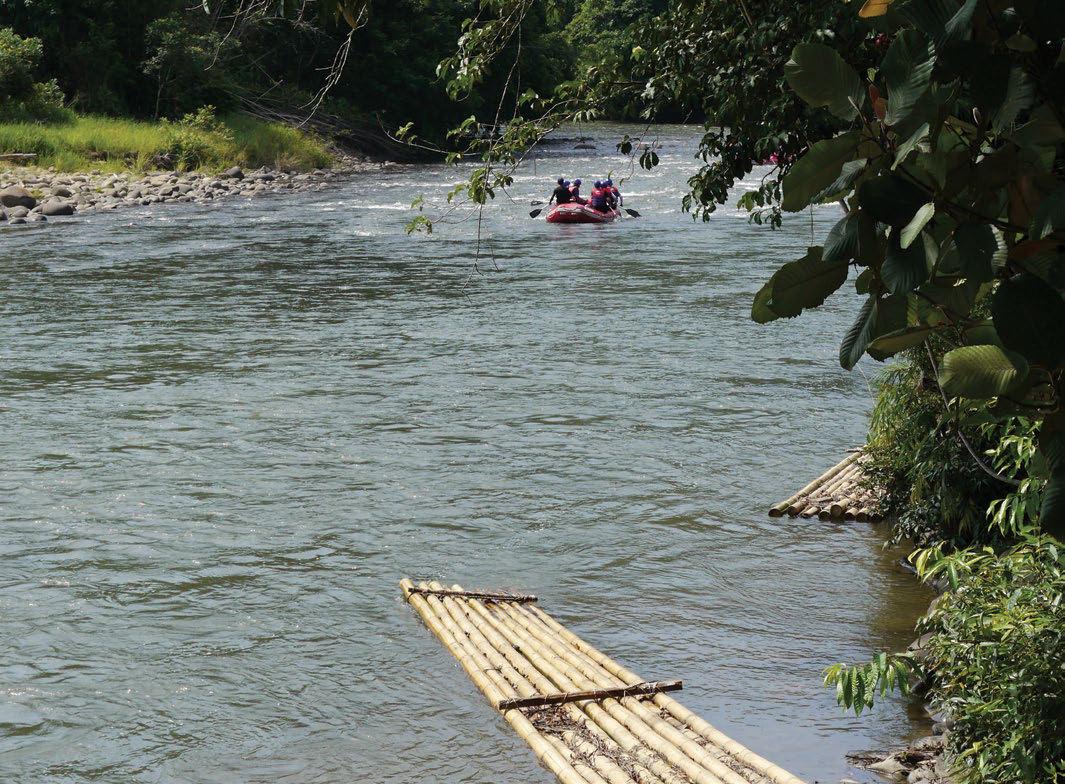

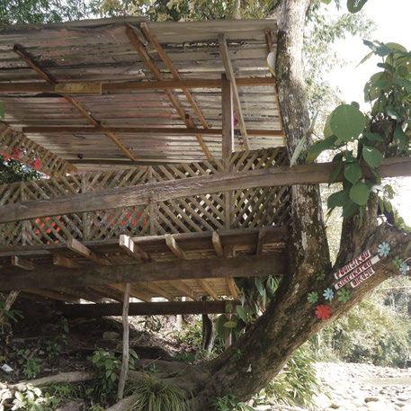
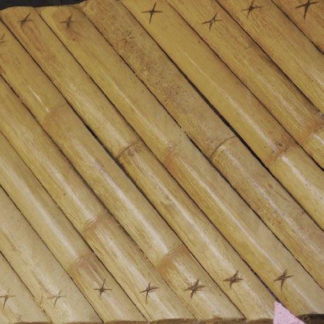


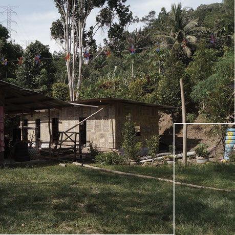
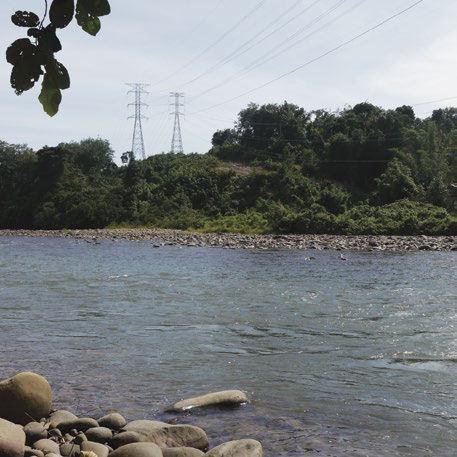 From Left Top to Bottom Traditional Raft and White Water Raft in Papar River; Cleared Belt of Land for High Power Tension Cable; Self-made Wooden Lookout Point; Bamboo Wall Infill; Bamboo Shade; Traditional Bamboo House for Guest Lodging; Papar River with High Power Tension Cables and Towers| 30-08-2019, Kampung Kigandang

 11.12 Kampung Tabilong

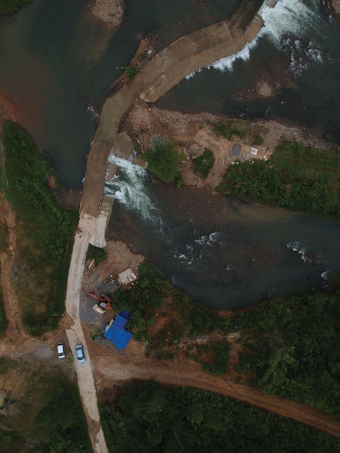 Micro Hydro Weir Doubling as River Crossing| Branch of Papar River
11-12-2019 Kampung Tabilong
11-12-2019
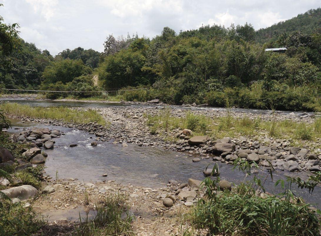
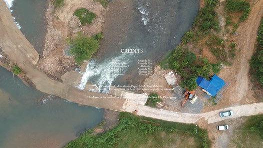
Kampung Tabilong is located very near to the proposed site for the Papar dam. It focuses on agriculture, aquaculture and plantations and also has a micro hydro dam that doubles as a vehicular river crossing built across a large stream, nearing the merging point between the stream and Papar river. e high tension power cables run above centre of the Kampung. Quite alot of excavation has been done as the Kampung rests on very tumultuous terrain.

I got a chance to speak to the Chief of the Kampung who explained that this Kampung houses Kadazan and Dusun people for nearly 3 generations. Although he remained tight lipped on the issue of the dam,he acknowledged that if the river dries up, they would not be able to carry on living the way they do due to their lack of economic power and position.
Being higher up in Ulu Papar, Kampung Tabilong was more difficult to access and required a mix of driving on bumpy dirt paths and hiking to reach. Due to the politics of the dam, the villagers are rather cautious about unknown vehicles entering this area as they are wary they belong to Government. In my meeting with the Save Ulu Papar non-profit group, I was told that they have accepted help from charity organisations to help them map their land in hopes of marking out proper territories. Instead, the information was not given to the villagers but to the Government, which aided their planning of the dam.

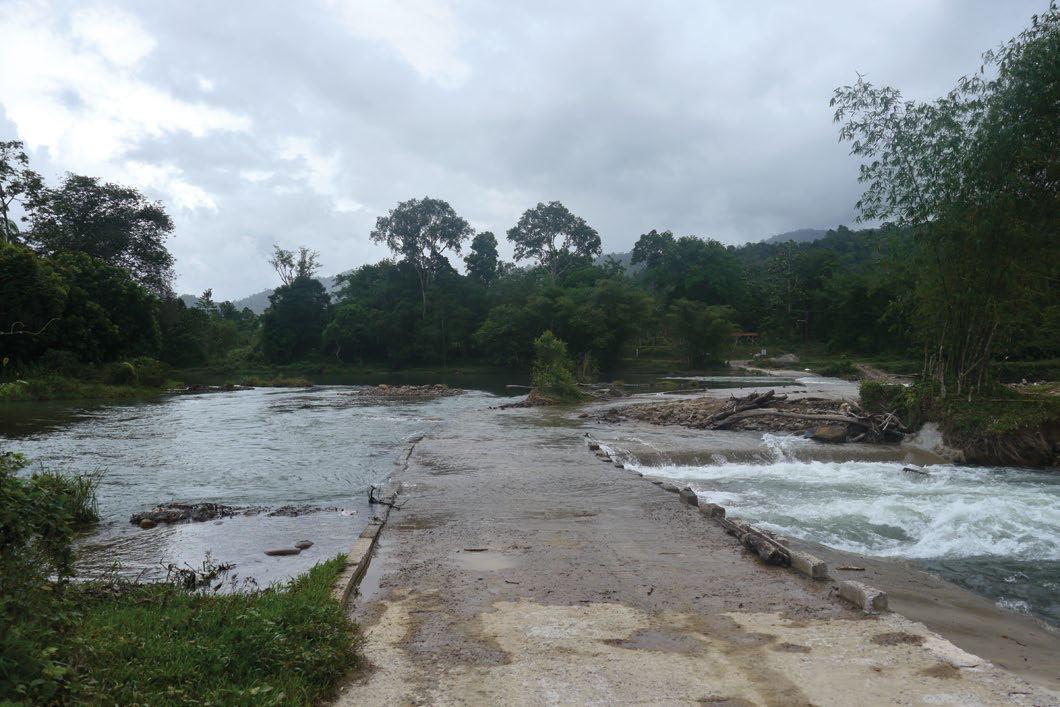
 Micro Hydro Weir Doubling as River Crossing| Branch of Papar River
11-12-2019 Kampung Tabilong
Aerial View| Papar River and Agricultural Plains

 House of the Chief of the Kampung| Self-built with Solar Powered Panels and Water Irrigation from Streams
11-12-2019 Kampung Tabilong
Micro Hydro Weir Doubling as River Crossing| Water Entering the Weir
11-12-2019 Kampung Tabilong

the Architect’s Act

e construct of Nature slides in and out of various definitions, always remaining transcendental and imaginary. It is only through representations of Nature that some understanding of ecology is uncovered. Representations of Nature such as Alexander von Humboldt’s drawings have always acted as tools in specific discoveries. As they rewrite abstract Nature, representations deconstruct and highlight a site’s Ecology - the relationship between systems and things, both living and non-living.
Dealing in the currency of Representation and Aesthetics, Architecture too, shifts in and out of the worlds of Science and Art. An Architect, hence holds a priviledged posittionto examine the Ecology of the very spaces we build in, through the process and product of Representation.To see and understand the silent Architecture of the site itself before we add to that Architecture.
is esis looks at the Papar river in Sabah as an example of studying such Ecology via Architectural tools of Representations such as drawing, photography, film and modelling. It questions, the visual function of these specific tools as not only illustration or advertisement, but as a form of research itself. Using these tools, the Papar river will be disected, placed under a microscope and stitched together to uncover its Ecology and realise what makes it silent Architecture.
What is the Humboldtian drawing of the 21st Century?
 Essay of the Geography of Plants Plate Print | 1805, Alexander von Humboldt
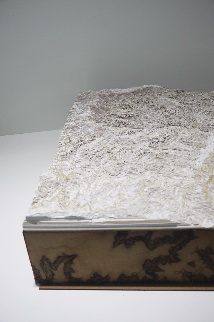
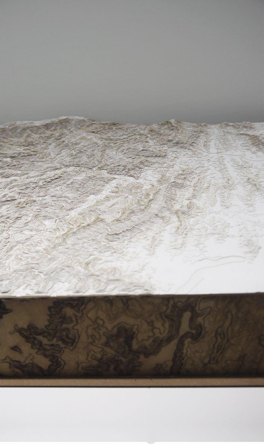
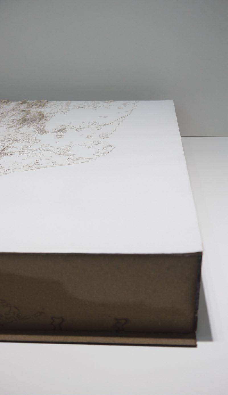
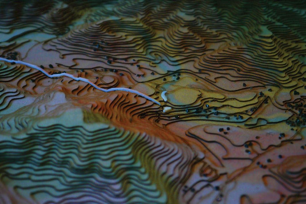
I constructed a topographic model consisting of all the topographic lines I traced for the map of Papar River, Sabah, Malaysia using laser cut paper to investigate the topography surrounding the Papar river. By removing the river and only looing at its topography, we can understand to some effect, the effect topography has on the shaping of the river and vice versa. I could begin to understand the stretched out time scale of such a vast topographic site and the Papar river. Including the tracing of the topographic lines, this model took me 3 months to build. I trekked those contours; I traced those contours; the Epilog machine lasered those contours; I glued those contours; and now those contours are embedded into my muscle memory.


Tropical rivers have always been associated with many uses, functions and aesthetics for a long time. I look into some of these associations and how the affect the way we perceive and use the river, e main associations I am looking into are the associations of the river as infrastructure, resource, recreation, heritage, and politics of land. Like many other tropical rivers, the Papar river is also seen in association with such themes and this varies from the communities using it.
Since the days of explorers, rivers were used as highways to access deeper mainlands. It presented as the more convenient and safe route of exploration. Today, it also provides an easier route of transport in areas that are deep enough for boats. e Papar river is only deep enough for boats about one-third up, making it slightly different from most famous tropical rivers which extend deeply for a long way in.Instead,this creates a divide between Papar and Ulu Papar as it remains more inaccessible and foreign.Because the fishermen use the Papar river to transport their goods and services,this is also elusive to the Ulu Papar region where you see them fishing for their own fish.

Perhaps the biggest dilemma of the Papar river is its richness in resource for water, food and energy and this translates differently for different communities. Although their dependency of the Papar river varies in directness, the river still remains an undeniable resource for all communities. However, if understanding that this resource has limits and that the way it is used affects some this and livelihoods, how to we react with the river beyond its association as a resource?
 e Story of Tropical Rivers
e river also possesses a nolstalgic aesthetic that goes hand in hand with its use for recreation. is aesthetics can sometimes block the progress of the Ecology of the river, the river and its community as it hides and reduces the silent Architecture of the river to merely aesthetics. It is however, also a double-edged sword as aesthetics, as mentioned earlier, can also be used to raise new understandings of the river,allowing it to bring forth progress in a right direction. is esis is aiming to do that.
e control of the Papar river talks about the struggle for land ownership and power between the indigenous people and the Malaysian Government. One sees the river as something to be shared but is also an integral part of their heritage, while the other sees it as a resource and opportuniy, both economically and politcally.
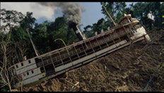
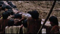
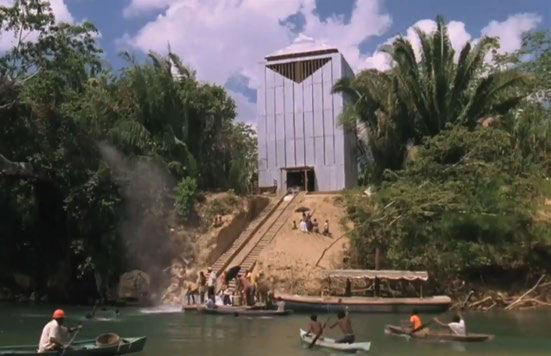
“We can’t seem to cure them of the idea that our everyday life is only an illusion, behind which lies the reality of dreams.” Old Missionary
1982 Scenes from the Movie Fitzcarraldo

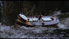
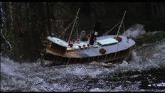
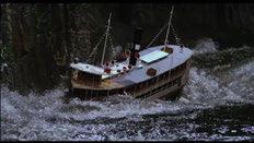
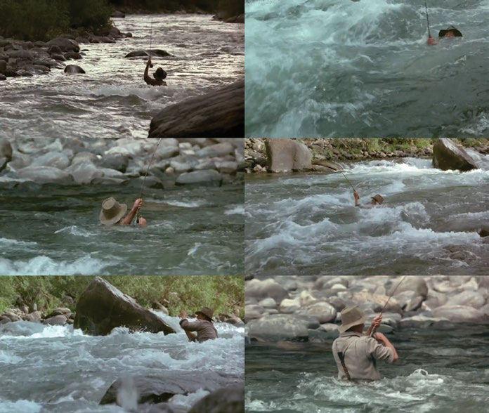
“Eventually, all things merge into one, and the river runs through it.” Norman Maclean
1992 Scenes from the Movie A River Runs rough It
Observations

“We’ve

Taken at 0:00:01
Director| Amanda Mo
Videographer 1| Amanda Mo
Videographer 2| Alvina Ng
Editor 1| Amanda Mo
Editor 2| Alyshea Mo
Equipment| Marcus Mo
Pictures and Video shot in| Papar, Sabah,East Malaysia
Voice Recording| Meeting with the Save Ulu Papar non-profit organisation
ank you to the residents of Papar and Ulu papar and the Save Ulu Papar group

Media has always played a heavy role in influencing the way rivers are portrayed and in turn,how we as the audience understands them. Part of this esis is to explore how using media as a form of representation can portray an ecological understanding of the Papar river and its story and how different forms of media can uncover various layers to the river. Papar River is a very short film that condenses my site expeditions, the nolstagia of the river, its quiet power, the lifestyle and woes of its population and the political struggle over its ownership, into a quick-cut format. I chose such a format as I wanted to impose multiple informations over such a short period of time making it almost indigestable for the audience, mimicking my feelings from the site expedition. I was left heavy-hearted and somewhat flabbergasted. e interchange of still photograph and videos; and voice recordings and sounds of water bring up the contrasting images of the surface value and under ground value of the Papar river. e pauses and breaks between all the madness allows the audience to digest and reflect key inflections in the story of the Papar river.


26-08-2019
26-08-2019

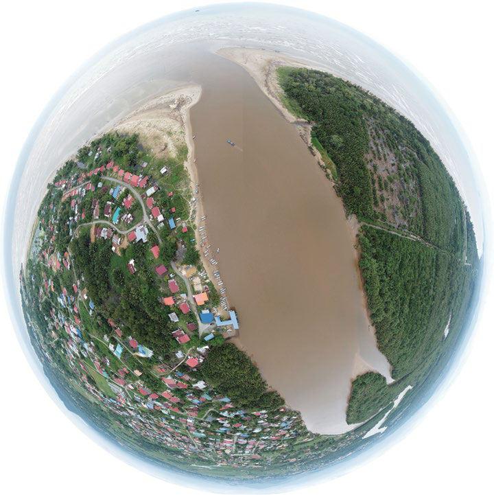 Kampung Pantai Papar | 360 Aerial Sphere
Taken with Drone
Papar Town | 360 Aerial Sphere
26-08-2019
Taken
With technology like drones, we have access to view the river from a height and get a different image - the aerial shot. ese aerial spheres are taken as 360 panoramas on the drone and stitched together. e dron allows us to view the river in plan and see mroe connections than the bendy river in reality allows.
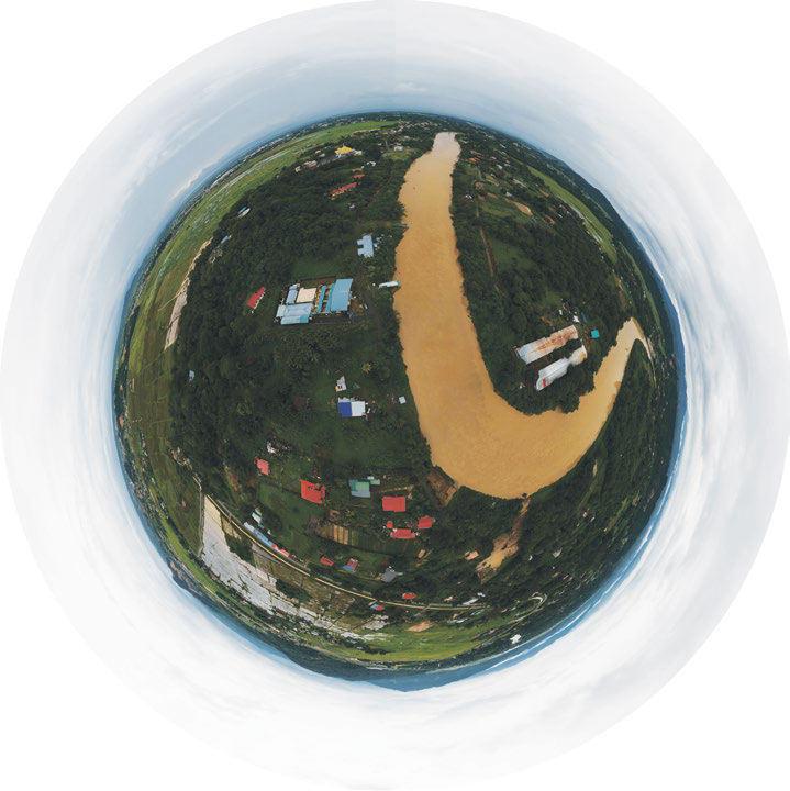
 Kampung Limbahau | 360 Aerial Sphere
with Drone
 Kampung Kigandang | 360 Aerial Sphere
30-08-2019

Perspectives of the Papar River at Various Heights
e Panorama allows us to reconfigerate the perspective of the river into a sectional approach and allows us to grasp the flow of time and space with the context of the river. ese panoramas of the the Papar river were taken at different height levels - the eye level, an elevated bridge level and sky level. is study inspired me to view the river as a length and to investigate its section.


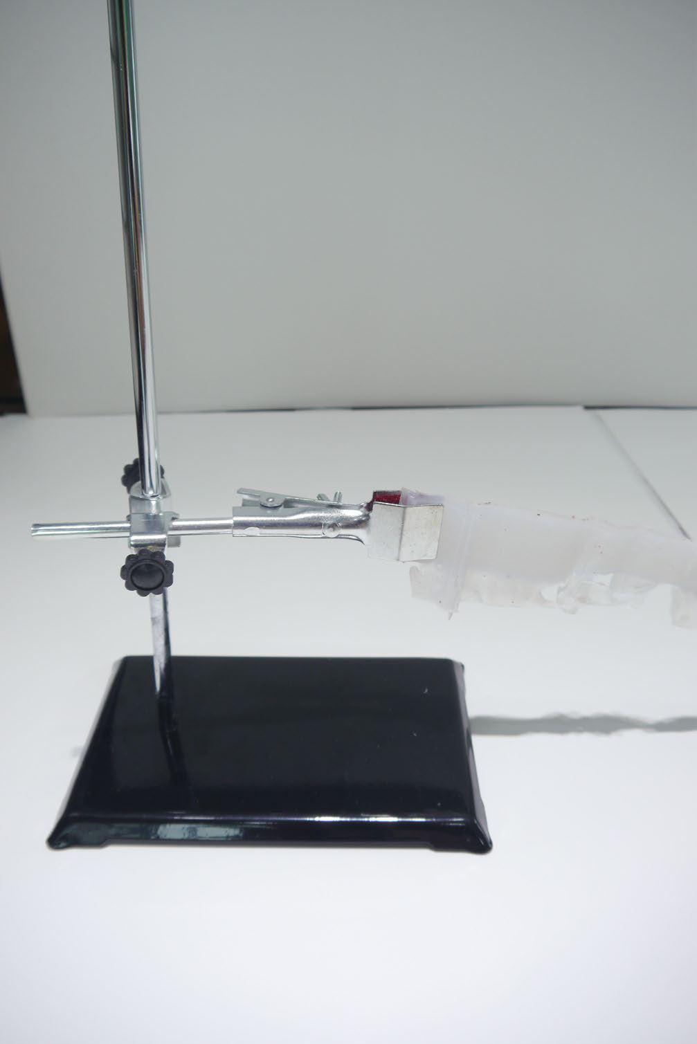
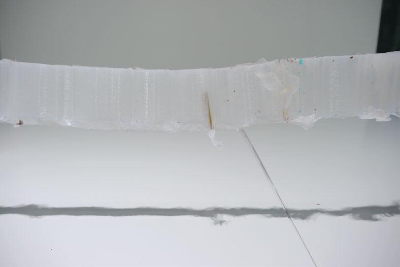


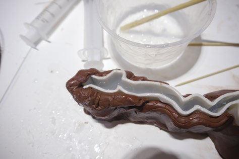
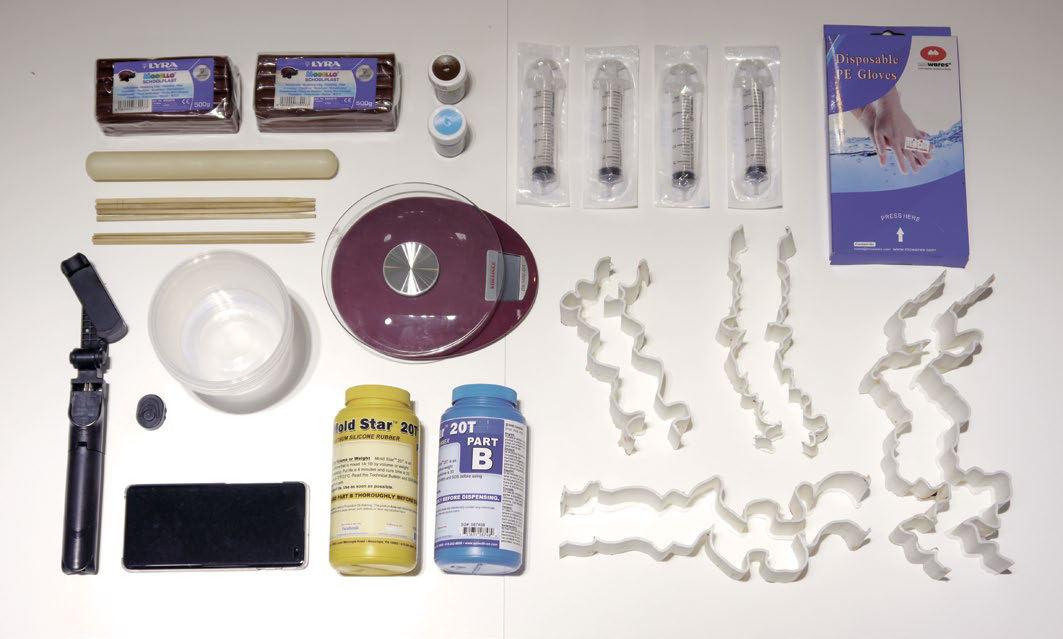
 Model Making Equipment |2 Part Silicone and 3D Printed Moulds
Filling of the 3D Mould | Silicone Length Model Making Process
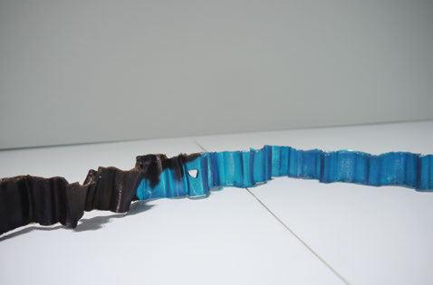
Gelatine Version 1 | Dark Brown and Blue
Silicone and 3D Printed Moulds
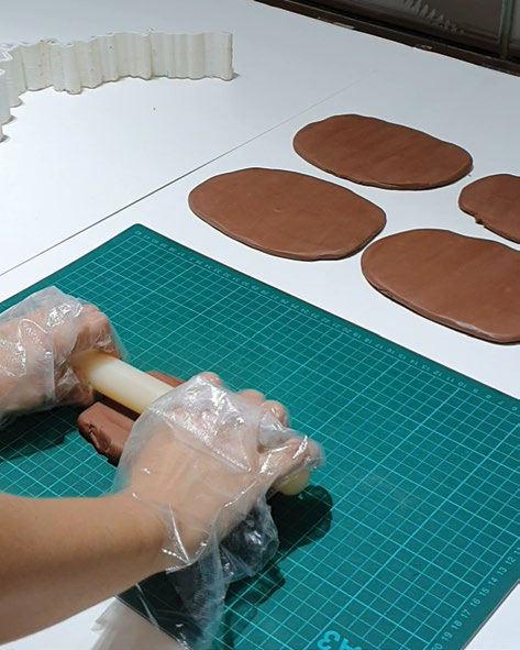
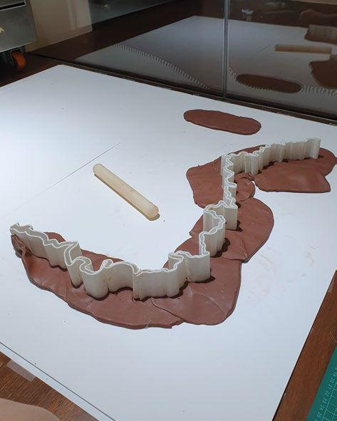

e Length Model was birthed from a curiousity of how long the river might be if the river was not as bendy. Adding to the Panoramas, this model propelled me into a new way of looking at the river - as a measurement of time.
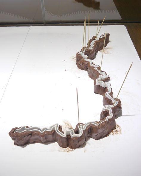 Rolling of Plasticine | Silicone Length Model Making ProcessSealing the 3D Mould | Silicone Length Model Making Process
Enlarging Tigher Areas | Silicone Length Model Making ProcessCuring the Silicone | Silicone Length Model Making Process


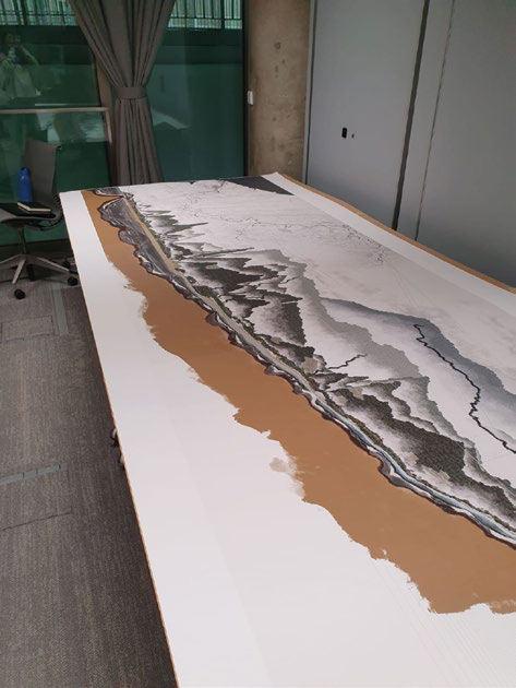
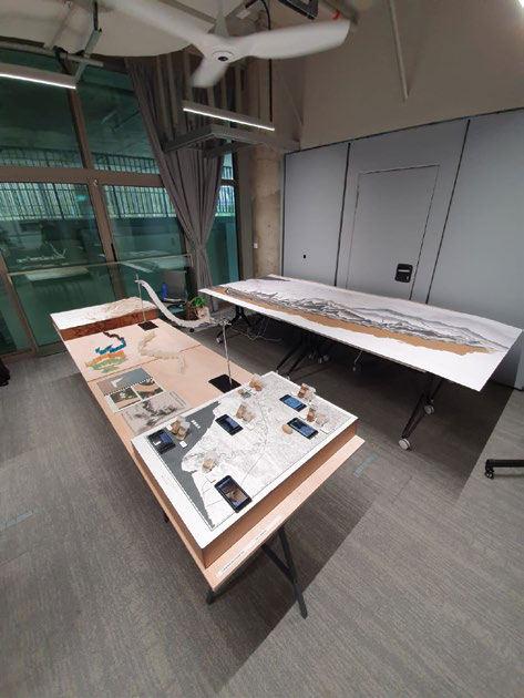
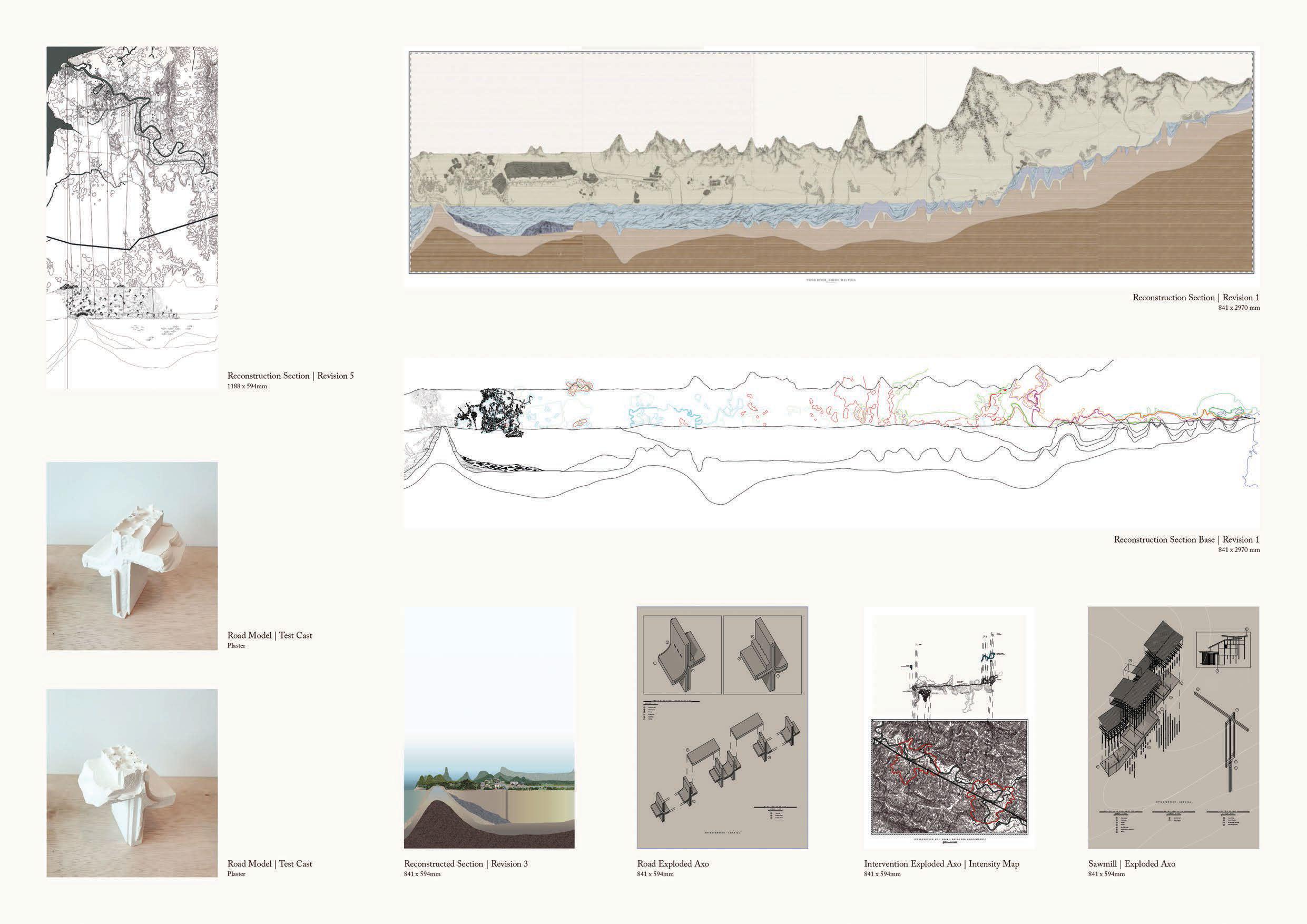
e Papar river reconstructed section pieces together part sections of the river in varying horizontal and vertical scales to realize the above ground and under ground Architecture of the Papar river and its ecology. It repositions the surrounding topography, buildings, inhabitants, flora and fauna around the Papar river as the main axis and forces the viewer to view everything in relation to the section of the river. It is my version of a Humboldtian drawing for the Papar River and serves as a lens before I ink the site with my Architecture.


When analysing a site, an Architect would usually refer to and overlay existing systems on site such as plumbing, ground level, sewage and so on. ese systems are able to be analysed and compared together because of some sort of standardization, and usually this is their reference to the human. However, when we are face with sites like the Papar river where there is little man-made systematic Architecture, this restraint seems to erode and less consideration is given to other non-human cetric systems. ese systems that are not designed primarily for the human are also quiet and unvonscious, rendering them invisible to us at first glance.
In my Ecological mappings, I uncover such silent and autonomous systems - the Ecology of the Papar river and foreground them, forcing myself to consider them more equally when designing for the indigenous people of Papar.
Ecology is defined as the relations between organisms - both human and non-human. Ecology is vast and complex and solidifies elements of Nature using concrete and real things as its components such as Economy or the terrain of th site. is focus on real components pull Nature out of the imaginary realm. Ecology acts as a catalogue of various perspectives of an Environment and to understand it, we need to deconstruct it into its relations. My Ecological mappings dissects the Papar river and organizes it into a sectional and planar catalogue to serve as a guide for my Architecture.
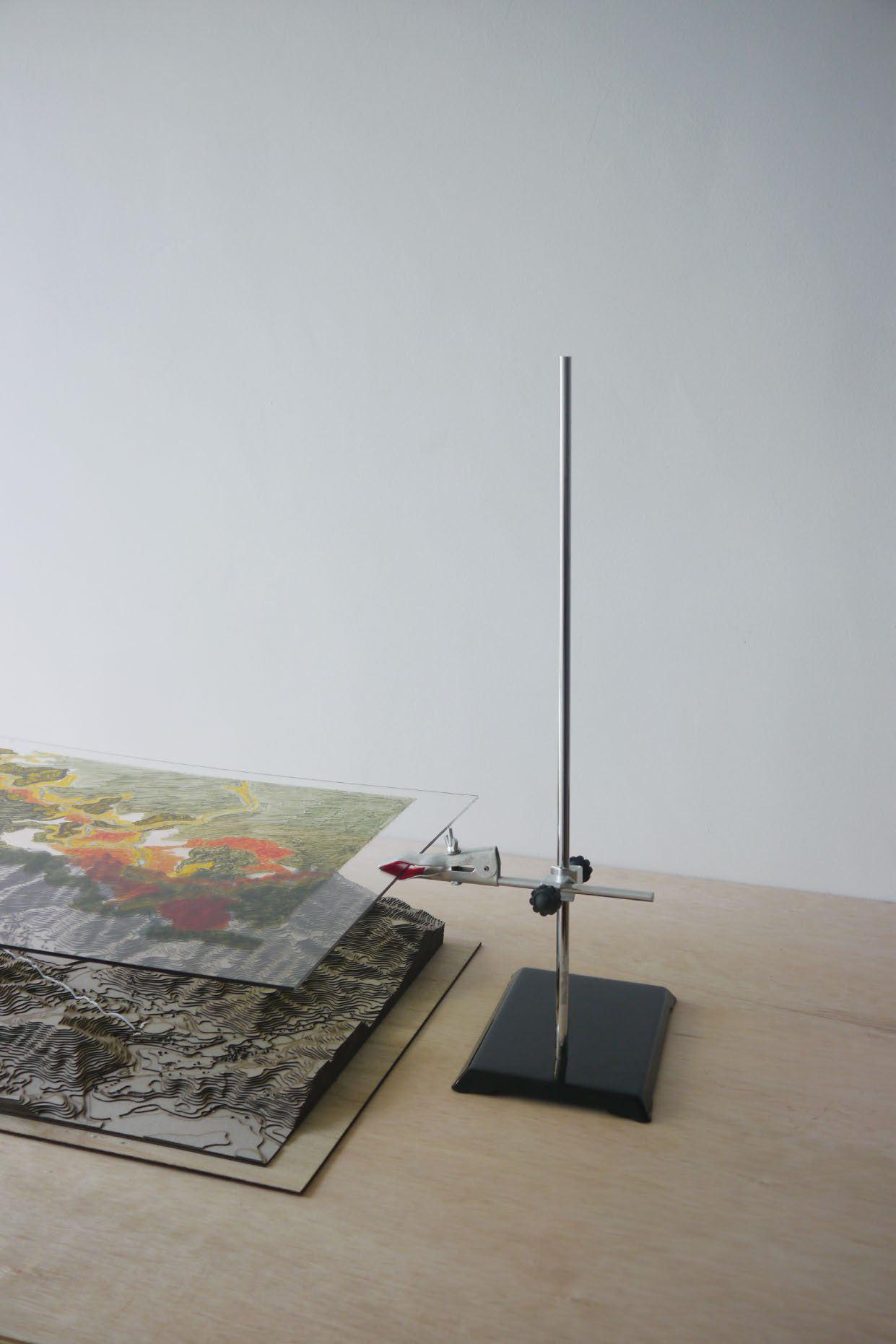
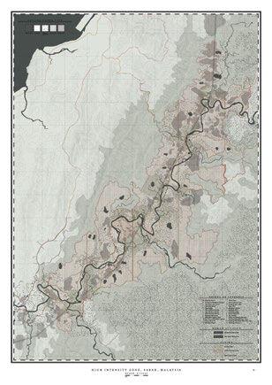
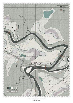
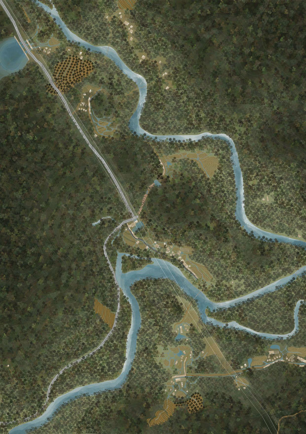
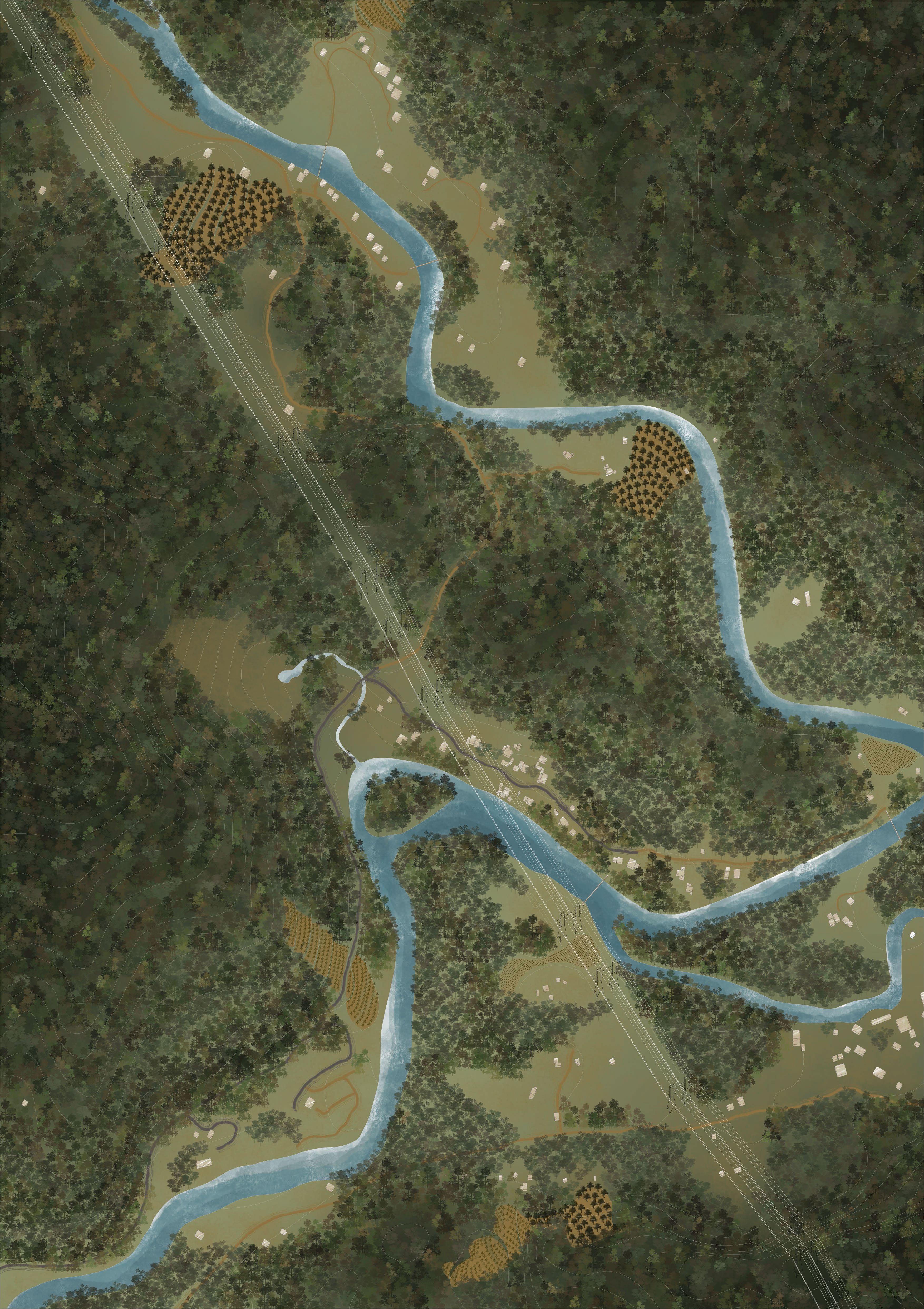
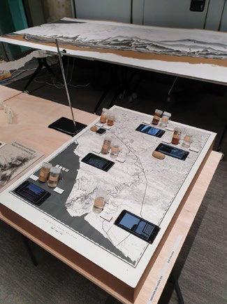
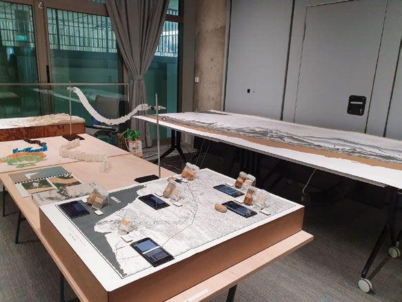
After a series of mappings and sections, I designed an ecological map indicating the resistance and intensity of both flora and fauna AND indigenous development. I represented this in the form of this model to show the blurring of boundaries unique to this terrain and rural setting unlike that of a city.

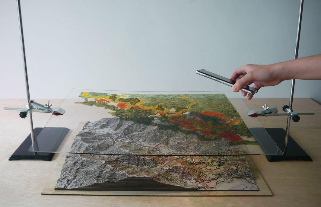 Ecological Map Model | with Interventions Done at 1:2000 Scale


SABAH, MALAYSIA
ZONING
Resistance Void
Restoration of River Bank
Restoration of Forest
Intense Development Area

Main Transport Band
Interventions
GROUND COVER TYPE
Water BodiesUlu PaparAgriculturePlantations














 Sloping
Zinc Roofs
Rain Chains leading to Filtration Gutter with Underground Watertank
Rain Chains leading to Filtration Gutter and Bioswales
Concrete Gutter
Bioswales


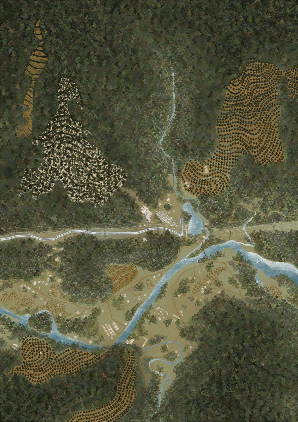


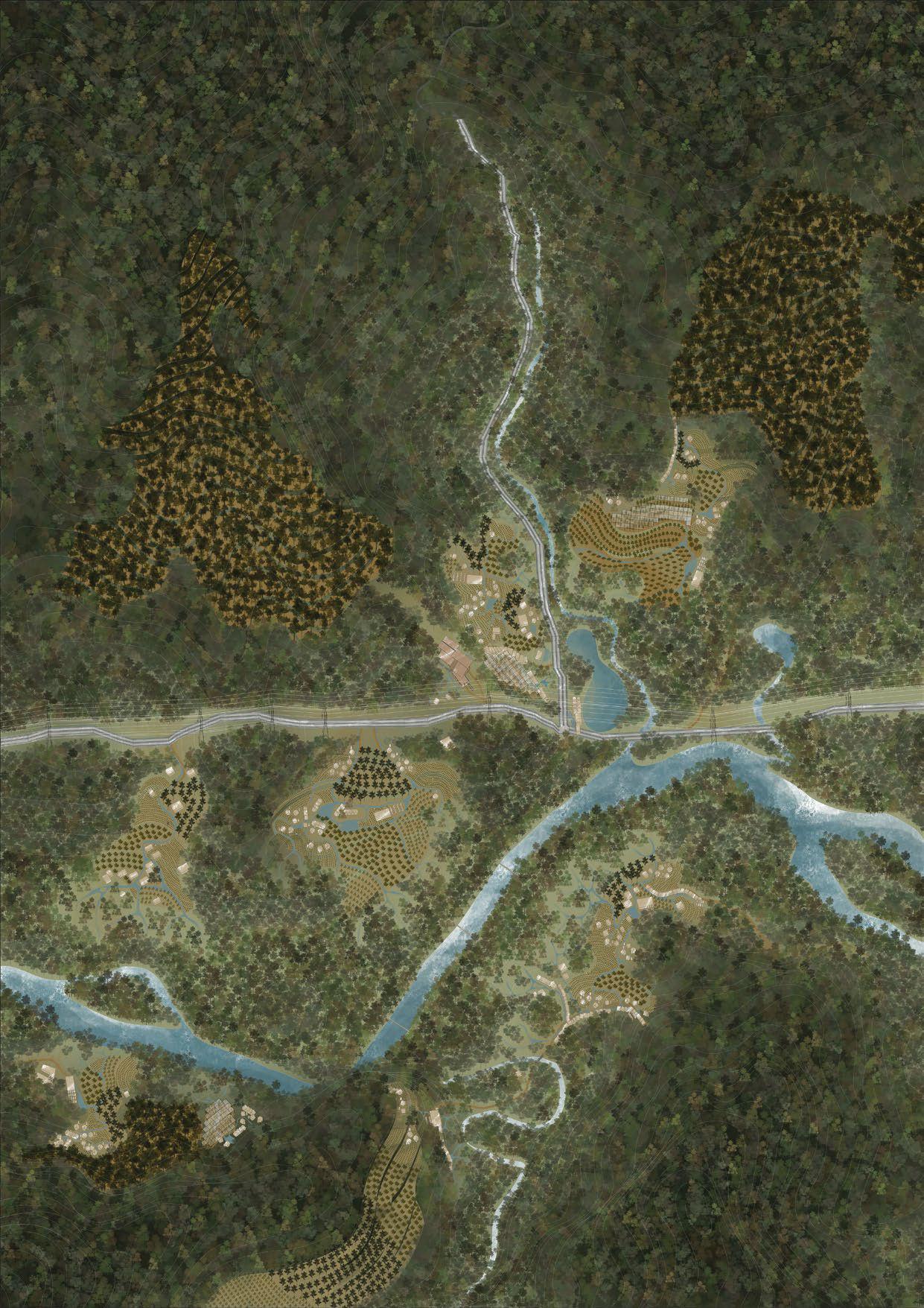

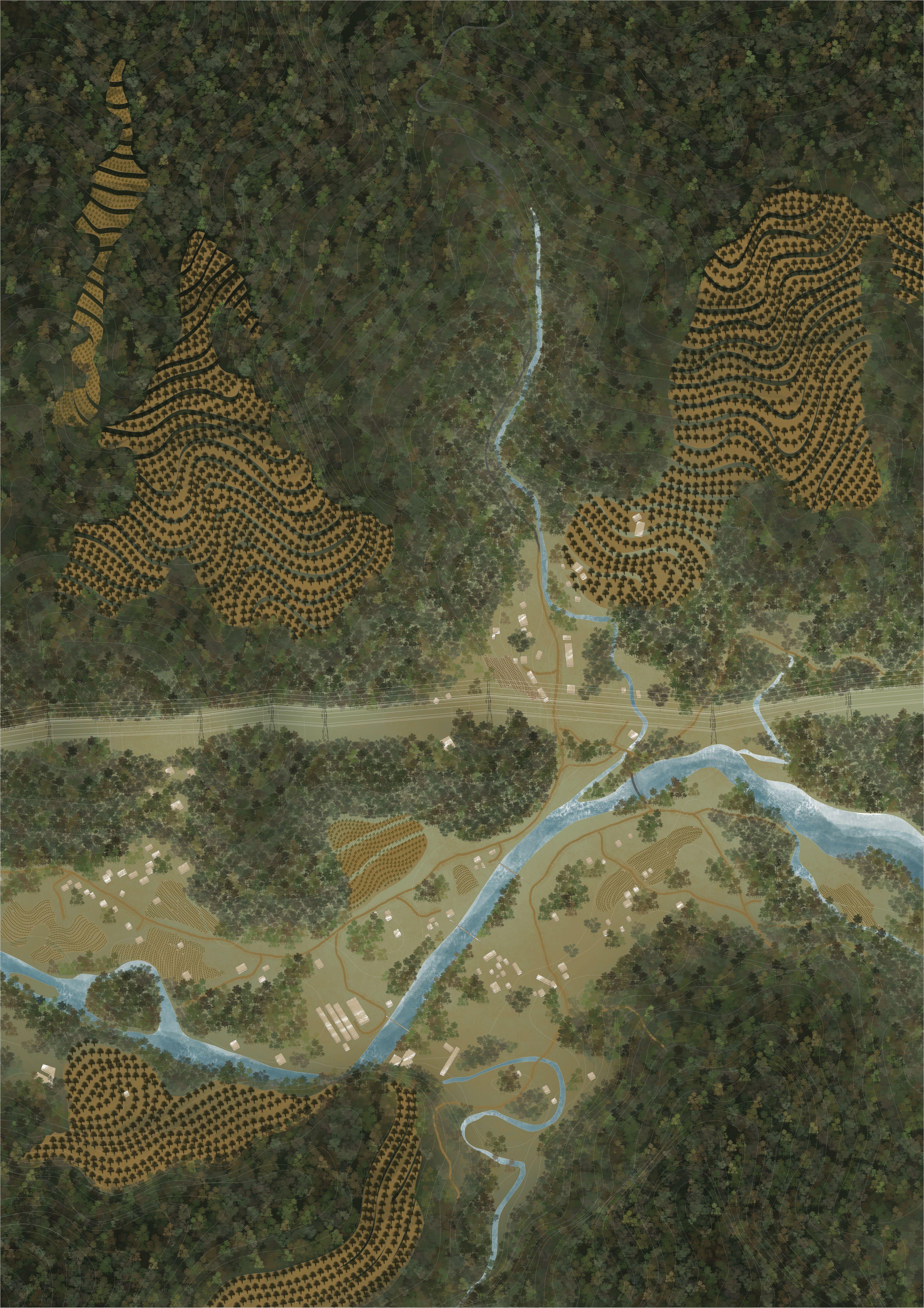
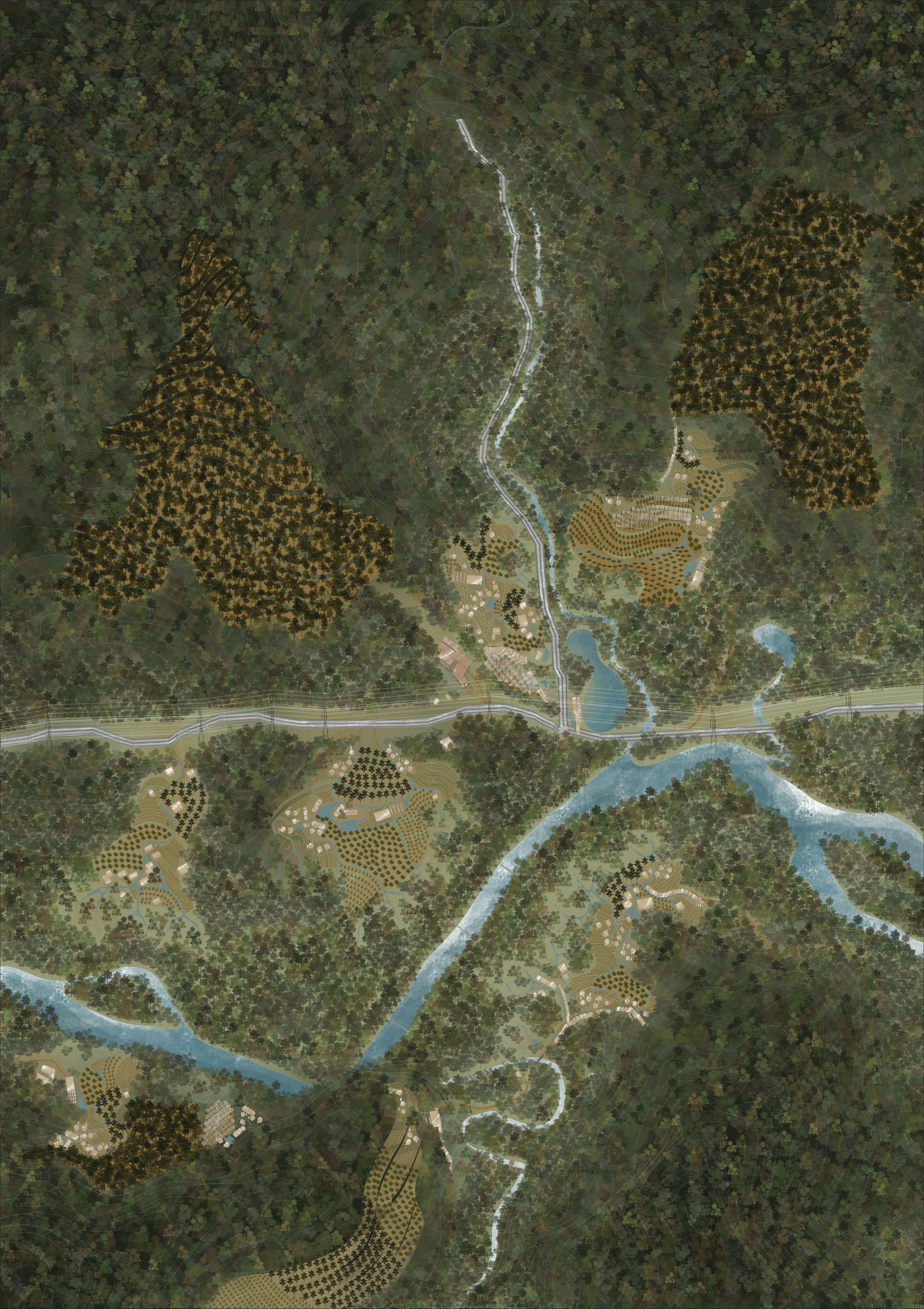


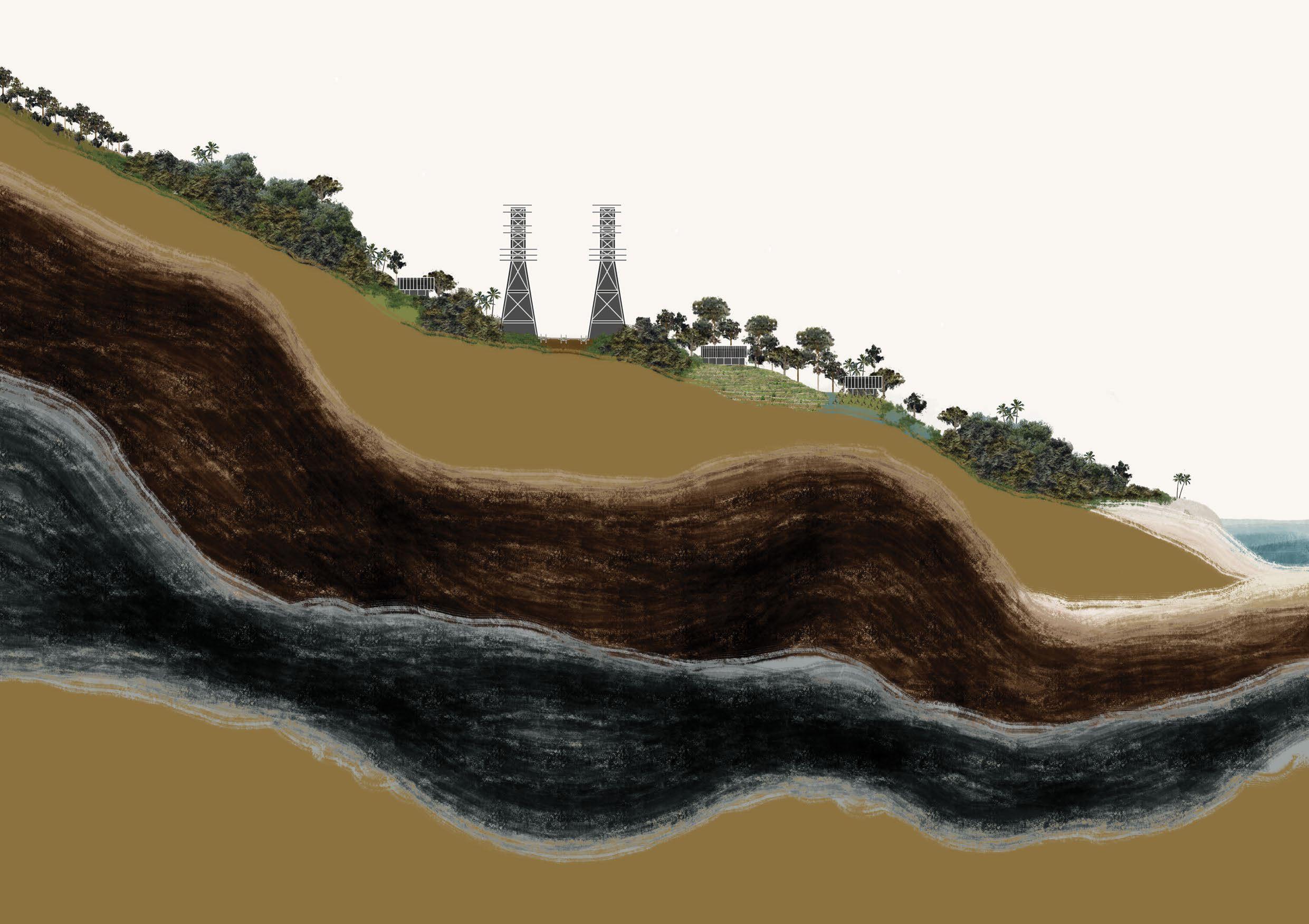

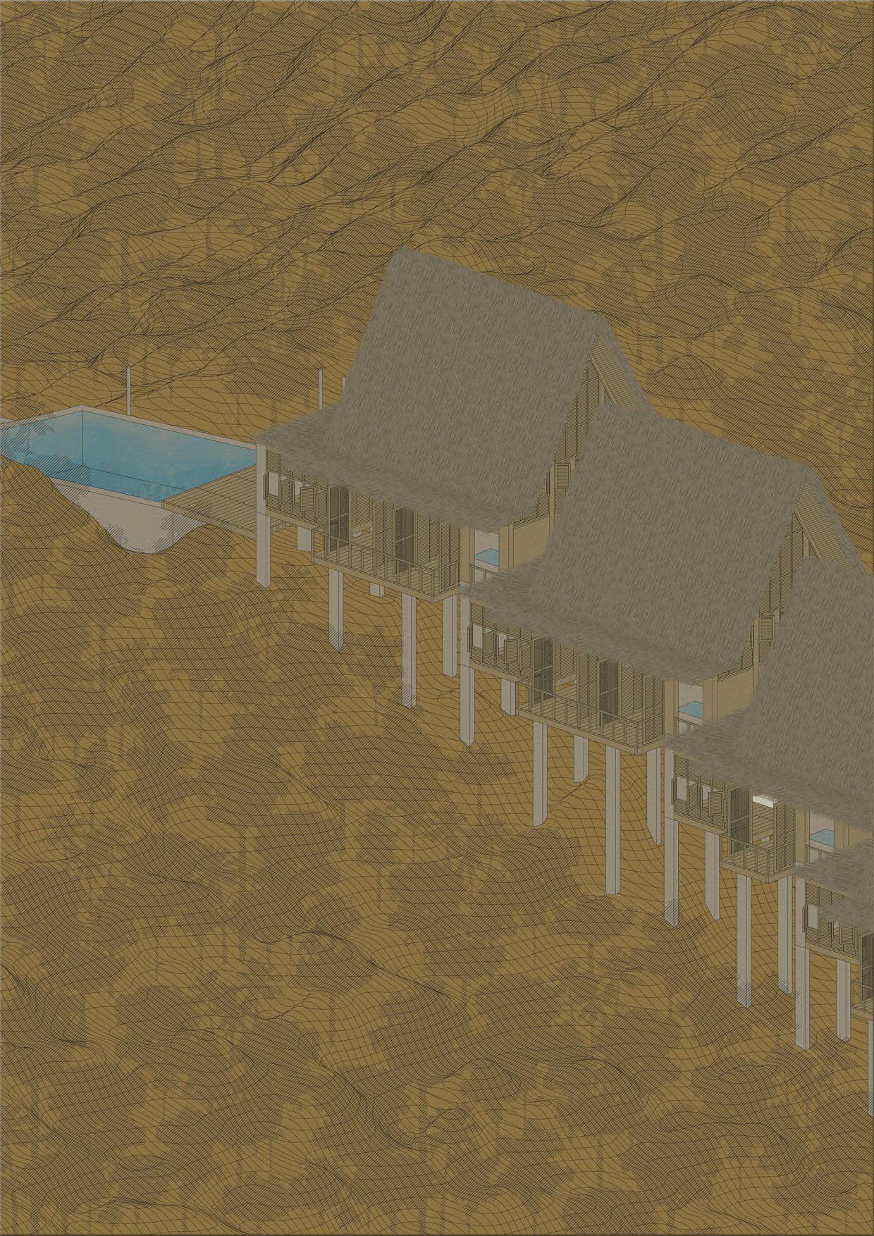
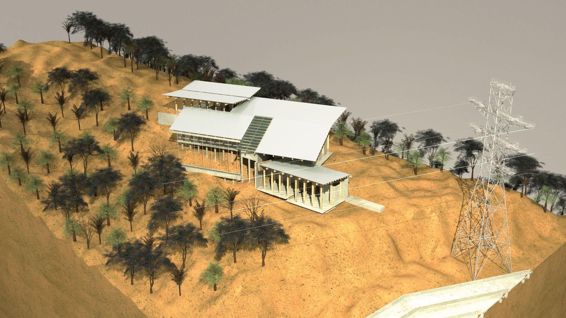
My thesis explores the representations of such a rural site to realize the silent ecology of what occurs above and underground.It repositions the surrounding topography,buildings,inhabitant and flora and fauna,around the Papar river as the main axis. is is the silent architecture of the Papar river and serves as a lens that allows me to design architecture that projects a path in the ecology of the river that benefits the environment and hence,the indigenous population.
is is the rural revenge

 the Annex




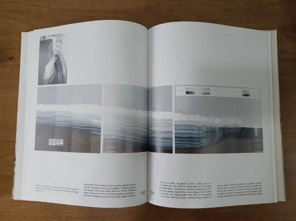
Architecture of Nature Nature of Architecture
Diana Agrest
Dark Ecology| For a Logic of Future Coexistence


Timothy Morton
e Adventures of Alexander von Humboldt, e Lost Hero of ScienceCoexistence

Andrea Wulf
Architecture of Nature Nature of Architecture
Diana Agrest
Ecology Without Nature| Rethinking

Environmental Aesthetics
Timothy Morton
Architecture of Nature Nature of Architecture
Diana Agrest

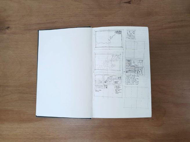
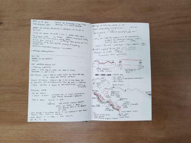

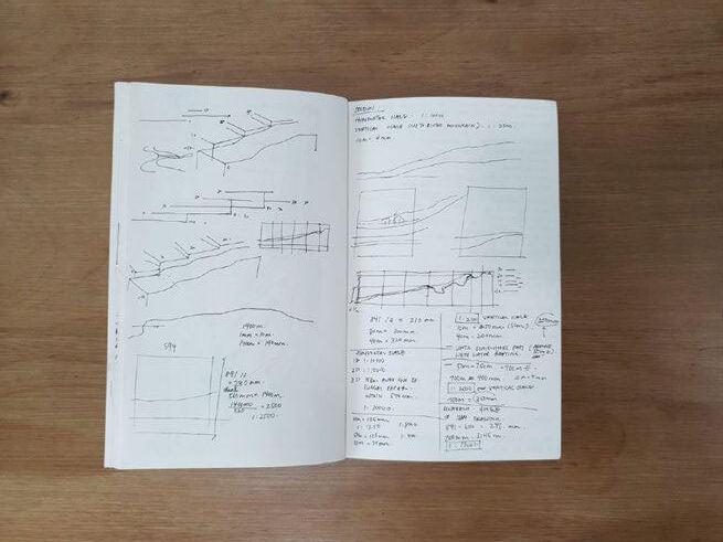
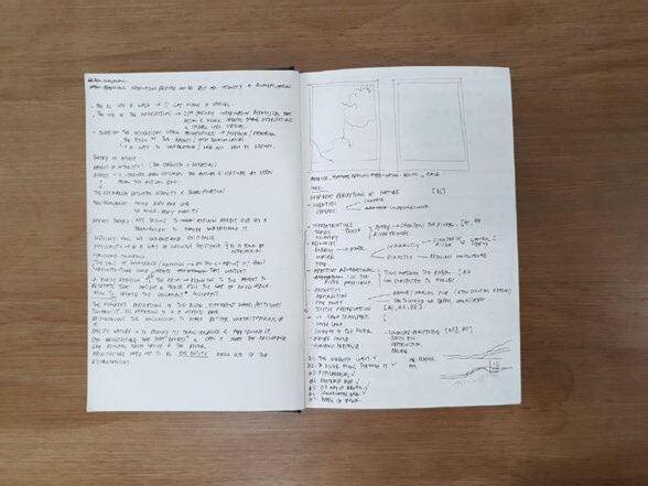
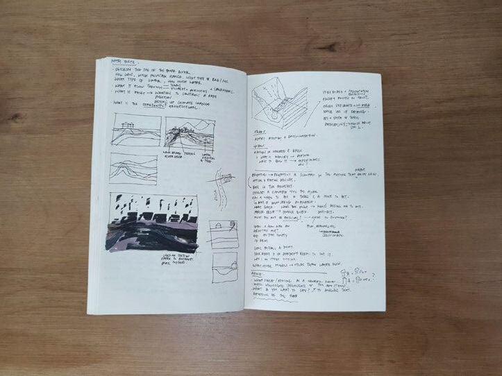


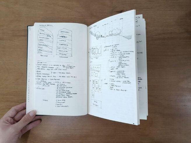

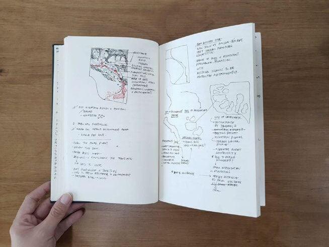


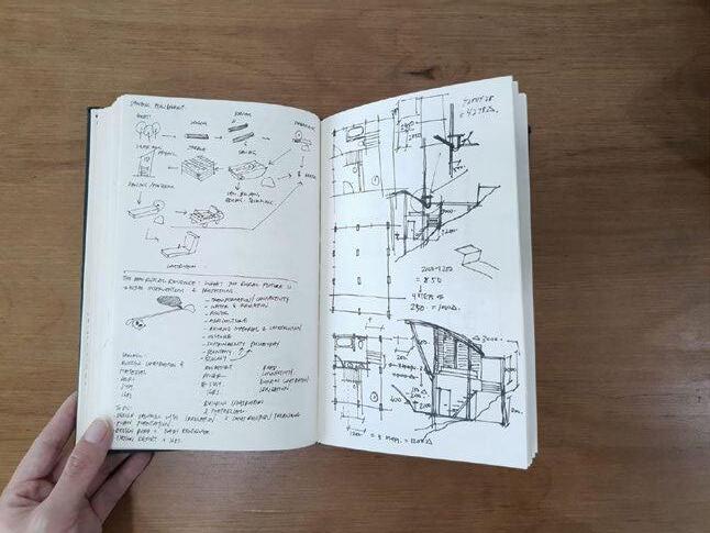
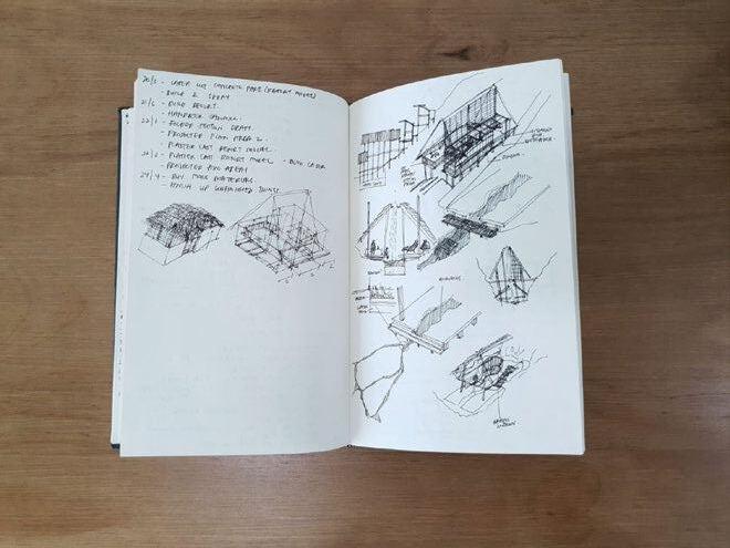
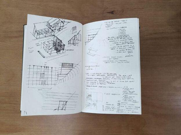
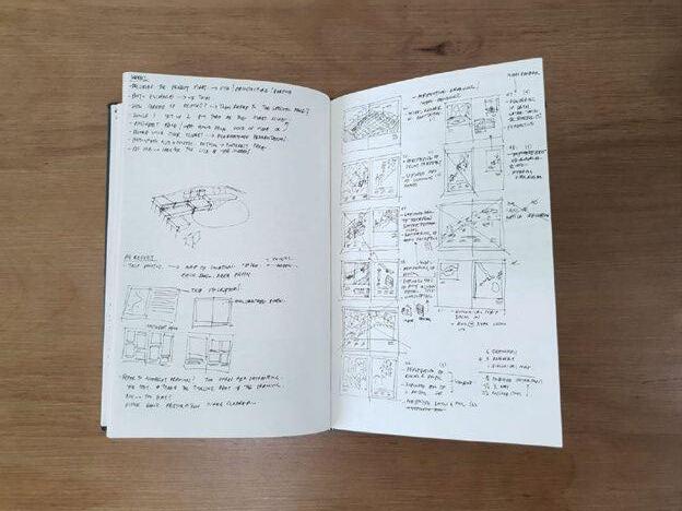

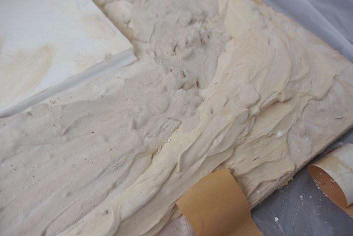
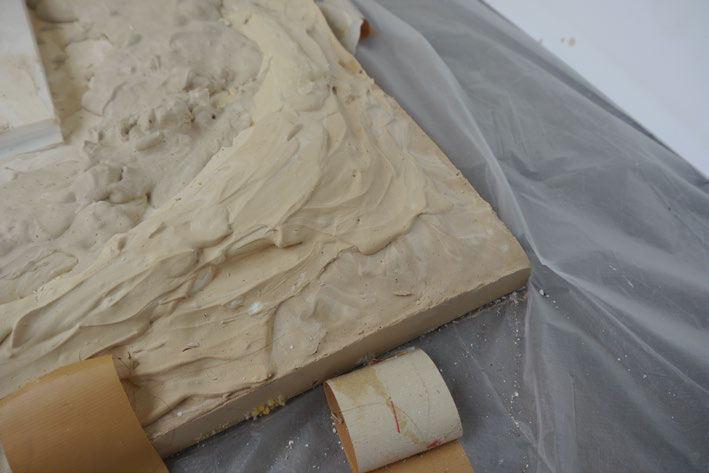
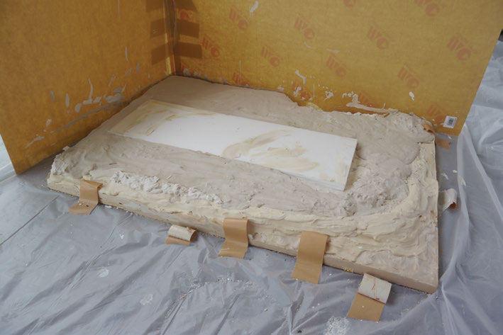
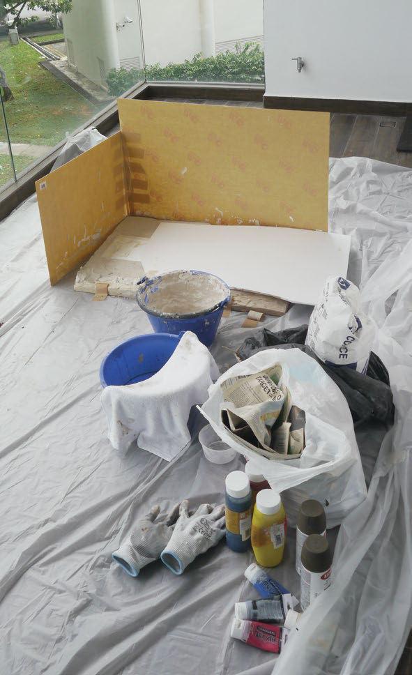

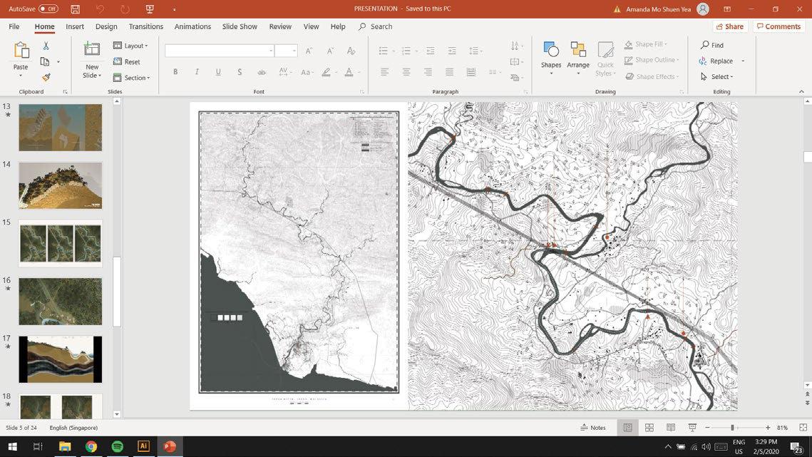


Due to the sudden circumstances of the new Covid-19 virus, we had to shift to an online critique format. is forced me to rethink my representation of my work and pushed me to explore another medium - the video. Although I still much rather a physical review, it did push me to learn new softwares. e Circuit Breaker also meant that materials for models were unattainable and as such, my model of my Sawmill in 1:100 was left uncompleted as I had run out of plaster. Well, at least I had begun and gone through part of the process and learned along the way.
 Malaysia Map
Presentation Video Prep Still Image Animations
