RE-INHABITING FLUID GROUND


Sungai Skudai, Johor
Ng Ai Lian Sarah A0057598J“Floods are acts of god; flood damages result from the acts of man. Men have notedly failed to devise means for suppressing or escaping this evil, but have, with singular shortsightedness, rushed into its chosen paths.”
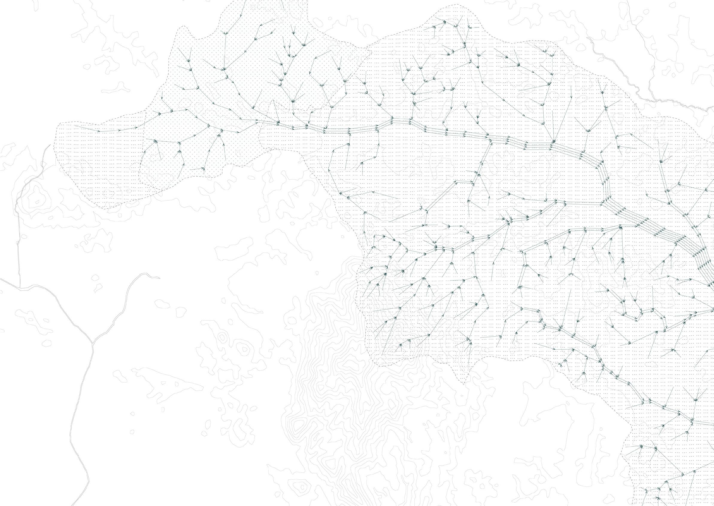
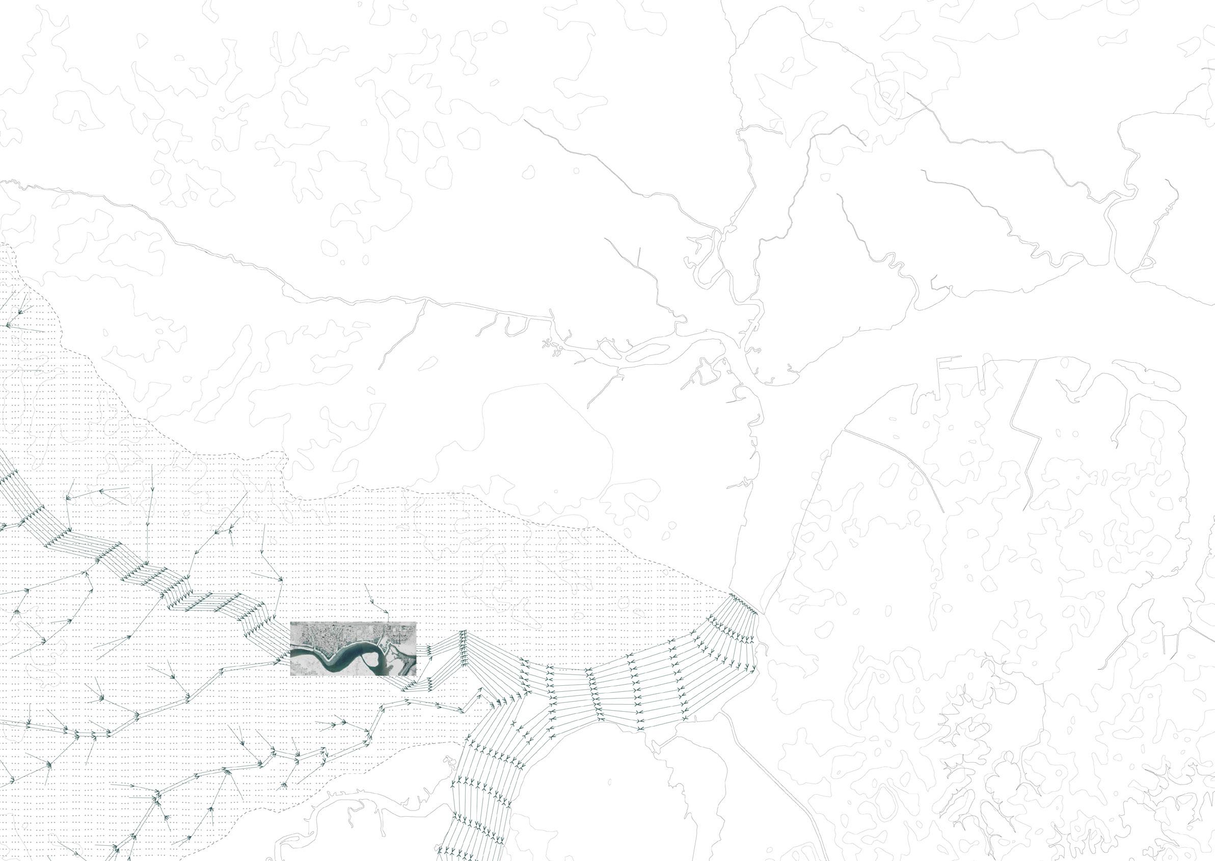
William McGee, The Flood Plains of RiversJohor’s coast is increasingly treated as an asset that is subject to intensive urban development. Its rapid urbanisation disrupts the coast’s natural hydrology and its land is rendered increasingly vulnerable to fluid ground. Prior to development, the “assetization” of the coast requires its ground to be first stabilised by infrastructure to separate land and water, thus, preserving firmitas. This dependence on infrastructure is manifest in the hardening of coastal edges.
Lower Sungai Skudai presents a unique scenario where coastal development, infrastructure and fluid ground are condensing in place. The existing mix of low and middle income housing faces displacement by luxury development and dilapidation from intensifying floods. Here, a hard edge presently manifests in a bund bounding the neighbourhood of Kampung Pasir. Constructed in 1983 to protect the neighbourhood from the overflowing river, today, the houses it shelters face the added threat of flooding from within; a condition exacerbated by urbanisation and rising tropical monsoon surges.
In light of these issues at the site, this thesis poses the following questions: How does architecture deal with fluid ground? Can firmitas and fluid ground coexist? How can infrastructure be used as a positive architectural force? And to what end can architecture be used to improve the conditions at lower Sungei Skudai? Can Johor, and its present way of living, evolve to survive fluid ground?
This thesis presents an alternate narrative to the present state of urbanism and infrastructural defence in Johor. It proposes three new typologies of inhabitation that will establish new neighbourhoods and maintain hydrological defences at the site of lower Sungei Skudai. Taking an 8km stretch of river bank, the project envisages the extension and architectural re-imagination of an existing bund to create 1300 homes for displaced low and middle income families to re-inhabit the site, granting each family new territory on prime, luxury waterfront area. This thesis envisages a change in existing inhabitation. Here, a new form of architecture embraces the changing climate and physical landscape. It mediates the changing interface between land and water. A fusion of defensive and adaptive techniques is therefore proposed as new inhabitation occupies the once disfavoured river edge.
Observed Change in Average Rainfall + 0.2 mm/day
Northeast Monsoon (December - March)
Inter Monsoon (April - May, October - November)
Southwest Monsoon (June - September)
Flash Floods 2006
Flash Floods 2007
Flash Floods 2011
Flash Floods 2012
Flash Floods 2013
2006-2007 Singapore Johor Bahru
Highest Innundation Level
Evacuees
86 mm 2400 mm
11,724
Flood Prone Area 1995
Flood Prone Area 2008


 Cecil Street, Singapore, 1948 Gretchen Liu, Singapore : A Pictorial History 1819-2000, (Singapore: Archipelago Press, 1999), pp. 87
Orchard Road , Singapore, 2011
The Asian Parent, June 16, 2010, sg.theasianparent.com/rain-floods-luxury-store-hermes-singapore/
The Asian Parent, June 16, 2010, sg.theasianparent.com/rain-floods-luxury-store-hermes-singapore/
The Star Online, January 31, 2011
thestar.com.my/story.aspx?file=%2f2011%2f1%2f31%2fnation%2f7906003&sec=nation
The Star Online, January 31, 2011
thestar.com.my/story.aspx?file=%2f2011%2f1%2f31%2fnation%2f7906003&sec=nation


346km2
89% urban
 Sungai Skudai, Johor
Woodlands, Singapore


Low income
Lower-middle to middle income
Middle to upper-middle income
 Kampung Pasir
Kampung Sri Jaya
Kampung Serdang Baru
 Kampung Skudai Kiri
Kampung Usaha Jaya
Sungai Skudai


 Kampung Skudai Kiri
Kampung Usaha Jaya
RM$200,000,000


 The existing bund, Kampung Pasir


 Kampung Pasir

Mean river and storm surge +1.0 m


High river surge (2006, 2009, 2011) +2.0 m
High storm surge (“) +2.5m
 High tide 2.0 M above LMSL


