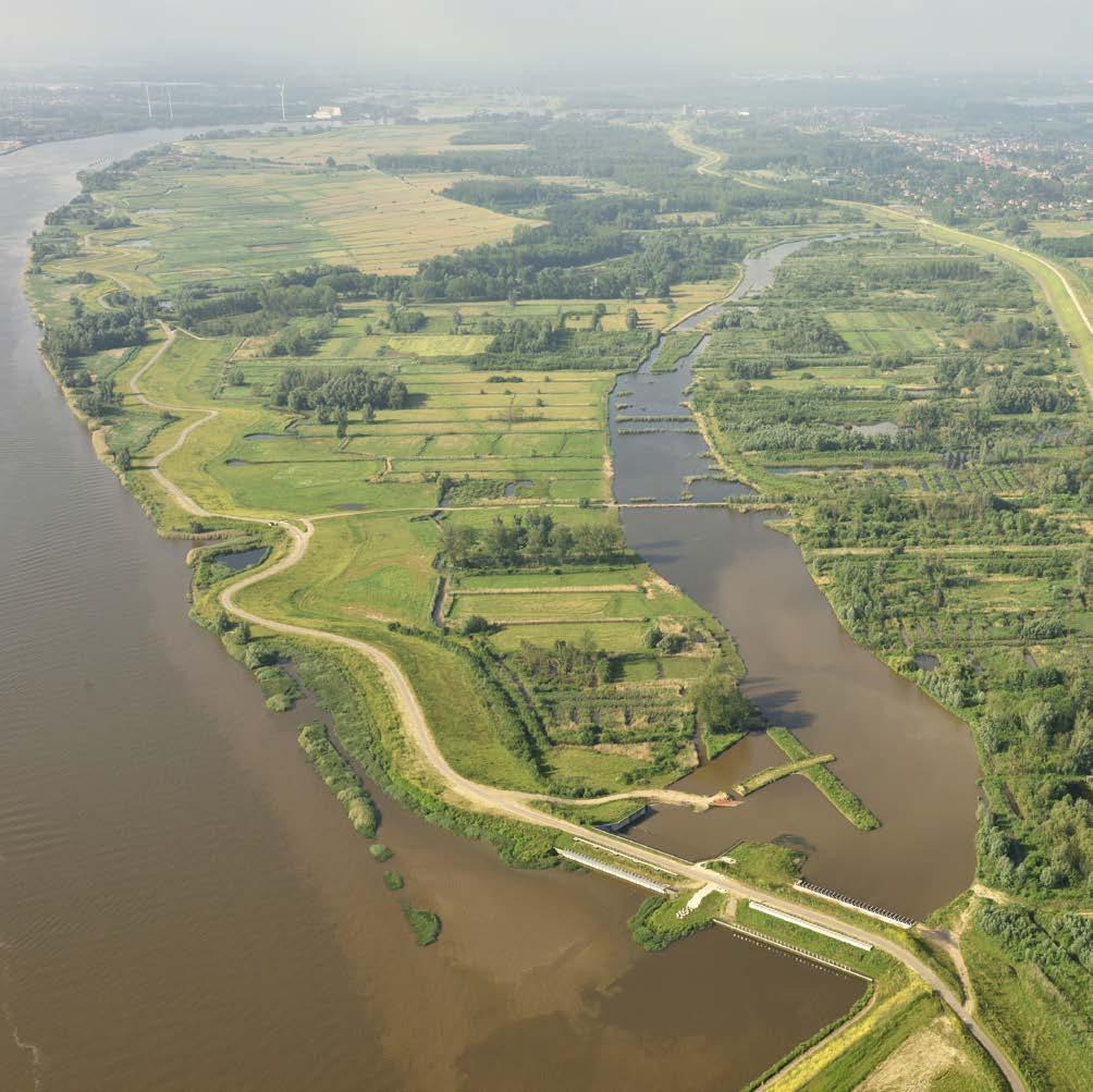
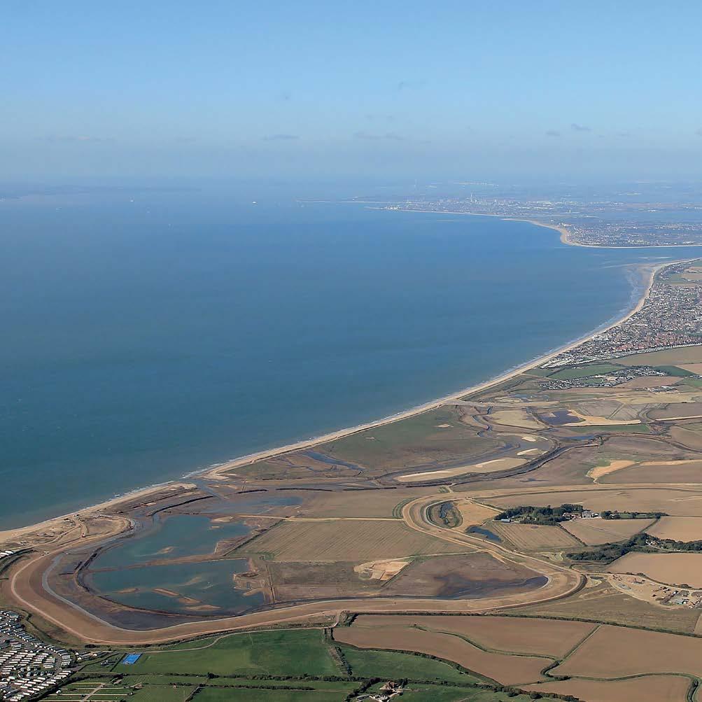
Levee Setbacks and Floodplains
Belford Natural Flood Management Scheme Belford, Northumberland, England, United Kingdom The Belford Burn is a small stream that runs through the center of Belford Village against private garden boundaries and walls. Belford village flooded 10 times between 1997 and 2007, with a history of flood events dating back to 1877. The six-square-kilometer catchment is predominantly in rural areas upstream of the village. Traditional flood defenses were not suitable due to high costs, lack of space for infrastructure, and low population. After the flood in 2007, the Environment Agency of England (EA) delivered an alternative catchment-based solution to the problem and commissioned Newcastle University to monitor the catchment, conduct hydraulic modelling, design run-off attenuation features (RAFs), engage with landowners and the community, and appoint specialist contractors to deliver the interventions. Since construction began in 2008, 45 RAFs have been constructed (amounting to 12,000 cubic meters of storage) and only one property has been impacted by flooding. This project resulted in the concept of Catchment Runoff Management Plans, which manage flow pathways directly by storing, slowing, and filtering farmland runoff. The features are multipurpose and address water quality trap sediment, create new habitats, and store and attenuate flood flow. This project was awarded the Robert Stephenson Award from the North East branch of the Institution of Civil Engineers in 2012 for using small features instead of traditional infrastructure for flood protection.
152