PROFESSORS
Agustín Solórzano
Andrea María Parga
Diana García
Fernanda Peña
Pedro Mendoza
Rodrigo Pantoja
Rubén Garnica
ADVISORS
Daniela Cruz
Luisa Medina
CREATORS
Arlette Nava
Jimena Arias
Martín Hernández


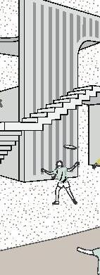

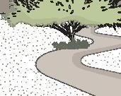
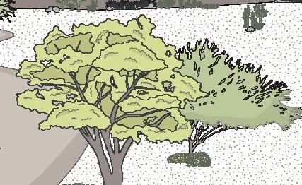

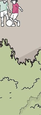


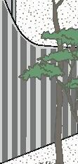


Co-design through strategies that promote climate justice through adaptation of the environment of those most vulnerable to cope with climate change. This will be achieved through different mitigation strategies, promoting equitable coexistence between El Nabo and Cumbres del Lago and giving way to the resilience of water-sensitive communities.


VOLUME ONE Overview Nature Panorama Pre-existent Existent conditions Site Water Strategies Users VOLUME TWO Design premises Program Learning Appropriation Leisure Materials 08 12 14 16 18 22 30 32 34 42 48 50 52 54 56 INDEX VOLUME THREE Water basin Hydric system Dunes Vegetation palette Micro-climates Paths Landscape Reserve VOLUME FOUR Water pavilion Celestial pavilion Earth pavilion Asfa 1 Asfa 2 Asfa 3 Alos Ludic playground Court equipment Glossary Apendix Acknowledgements 62 64 66 68 70 72 74 76 80 86 92 98 104 110 116 122 128 138 140 142
VOLUME ONE
Once upon a time, a child lived in a community on the outskirts of a large city. This curious and creative-natured child had been witness to the development of his community, his family being one of the first settlers of the place.
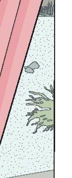
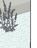
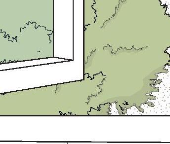
Through his window, he could appreciate the panorama his community offered him; two-storey houses of different shades and materials, wild and unknown vegetation that began to populate the gardens of his neighbours, and other residents walking along the streets they had built.
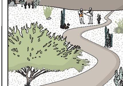
Watching from his window became a habit, and soon, he realised that on the horizon, the panorama he was used to observing in his spare time was changing. All along the arid ecosystem that grew on the outskirts of his community, new constructions were rising. But what caught his attention the most was the appearance of a small road in the middle of the arid ecosystem.
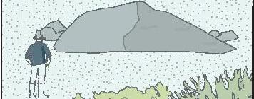
From that moment on, instead of looking at the horizon, he would sit at the edge of his window to imagine what was on the other side of the path.









OVERVIEW
ADAPTATION


Methods and processes that prepare urban areas for happens due to the impact of climate change at the infrastructure scale. Taking into account measures that prevent and protect the environment. what


MITIGATION
To minimize and stabilize the impact of climate change at the urban scale by preventing pollution and reducing the emission of harmful substances.


? For better environmental development.

RESILIENCE
The capacity and potential of an urban structure to recover from the difficulties caused by climate change in environmental, economic and social aspects. This must be fulfilled for whom? for all without exception


8
RESILIENCE ADAPTATION
environmental education
learning and awareness raising appropiation
Water resilient community
reconnecting with nature
sense of empowerment
leisure
MITIGATION
WHAT?
Take neglected space, like the remnants of urban sprawl, and consciously intervene in them, whilst prioritizing nature, to provide it for the surrounding communities.
WHY?


FOR WHOM?


To have a meaningful impact. We turned to the natural features of the environment; to create a more accurate proposal for the existing issues, such as -related issues.
The approach aims to address a diversity of users. However, due to the significant presence of a young population, the target of the proposal is childhood. presence




10










NATURE
Nature is the primary basis upon which our homes, our sources of work and food, etc., are built. So, likewise, the natural environment is the framework on which our cities are built.
The historical development of cities seems to have turned its back on the natural ecosystem. As a result, we can appreciate how, for the most part, ‘green areas’ or gardens in the developments tend to be the last to be designed in an architectural project.
With this in mind, the proposal aims to strategically intervene (acupuncture) at the site as a gesture of respect towards the ecosystem.
12





EXTRACTIVISM
“The intensive and extensive exploitation of natural resources; little or no industrialization; export as the principal destination; exploitation that impedes natural renovation”
(Chavez, 2013)
PANORAMA
14
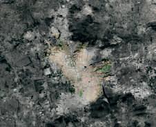
Satelite photographs obtained from Google Earth
QUERETARO
Due to the accelerated growth of Queretaro’s urban sprawl and the lack of strategic urban planning, the metropolitan area is extending towards the peripheries, giving way to increasingly complicated networks of connectivity that attempt to patch up the pieces of the city.
JURIQUILLA
Juriquilla is located north of the city and is characterized by housing areas with a proliferation of gated and guarded condominiums with different residential typologies of high economic level.

 EL NABO AND CUMBRES DEL LAGO


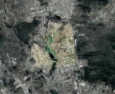


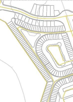
These communities will be the territorial framework on which our proposal will be based. We will seek to provide a shared space where both communities can coexist.
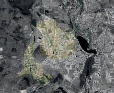
PRE-EXISTENT


Cumbres del Lago had yet to be traced. The first material bank was created (extractivism). A road to the aqueduct was on the hill between Cumbres and El Nabo.


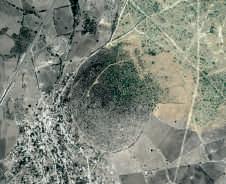


The appearance of a water in the northern part of the territory. Land use was intended for agriculture.
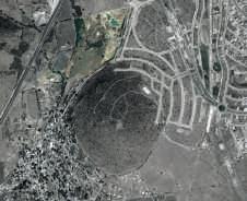


Partially drier (hydric stress). Creation of trails on the hill for residential use. The exploitation of material banks was spreading.
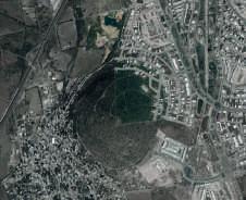 2004
2011
2014
Satelite photographs obtained from Google Earth
16
basin
2016


More vegetation density in the northwest.
The fence separating the current Cumbres del Lago from El Nabo was built.
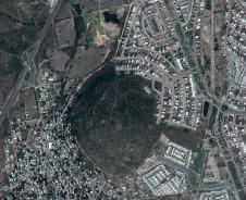
2018


The ‘desired paths’ appear in the territory with the vestiges of material banks.
Construction of Cumbres del Lago has begun.


A drastic change in the ecosystem due to repeated human intervention.


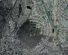

EXISTENT CONDITIONS
EXTRACTIVISM
Extractivism has brought significant environmental consequences. But, above all, it has had a direct impact on the citizens, especially those from El Nabo, as this heavily intervened landscape has become part of the daily walk for many of them.
VEGETATION
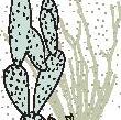
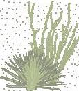
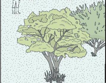
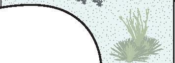
Even though the site has been severely intervened, nature is resilient amid adversity. This type of ecosystem is called ‘tropical deciduous forest’, and despite water scarcity, the native vegetation has remained.
HYDRIC STRESS
The desertic scenery of the landscape also reflects the water situation experienced by the communities. Hydric stress goes well beyond landscape issues, but strategies can be implemented to address this issue.
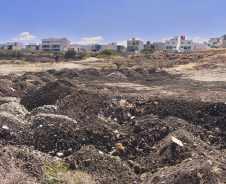
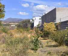
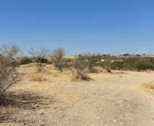
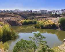
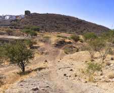
taken by the authors 18
Photographs
BASIN
According to the locals, this basin was born due to human activity. Over the years, it has suffered brief periods of drought; however, it has remained an essential part of the ecosystem because it works as a regulating vessel.
DESIRED PATHS
These informal roads were created due to the need of the inhabitants of El Nabo to commute to their jobs in Cumbres del Lago. But, broadly speaking, the existence of these roads tells us about human displacement and the general growth of the cities.
HUMAN INTERVENTION
Human intervention plays a vital role in creating cities; however, it can have negative environmental impacts, land degradation, air and water pollution, and loss of biodiversity.
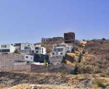
FROM MAZE
After some time, the day came when the young child visited the path that he was so intrigued by. As he accompanied his mother along the path, he realised that it was more extensive than he had imagined. It was a main trail with several different slopes to different sceneries.
Although the journey was a bit long, the boy entertained himself by searching and identifying the characteristics of this place he felt had been forgotten in time. He found himself lost in his thoughts between a familiar neighbourhood and a new settlement with different and monochrome buildings, picturing the possibilities of the site.
The surrounding nature and the paths traced within it reminded him of a maze in which the natural environment is mixed with forms of human intervention. He started to imagine new ways to turn this maze into a labyrinth where people could have a more pleasant experience while they could still reach the other side.









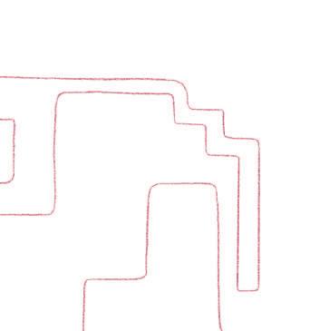























CUMBRES DEL LAGO LD
TO LABYRINTH...
GENERAL DATA
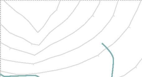
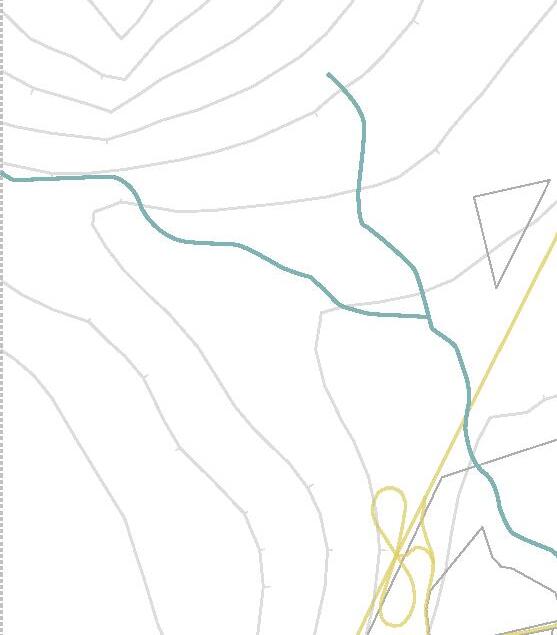
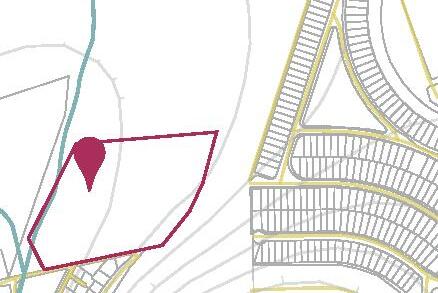
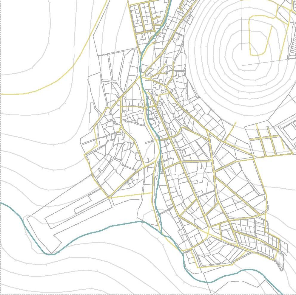
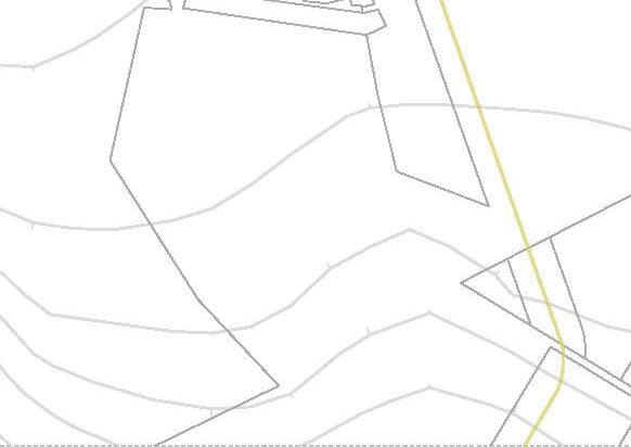
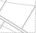
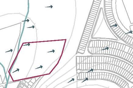
We selected a property with an intermediate location between the two communities to ensure better accessibility.
The land use type that occupies our property is ‘PEA’ for its acronym in Spanish, but its meaning is ‘protección ecológica y agrícola’ (ecological and agricultural protection).
Poligon
Canal
Accesibility routes
SITE





0 500 m
CLIMATIC CONDITIONS
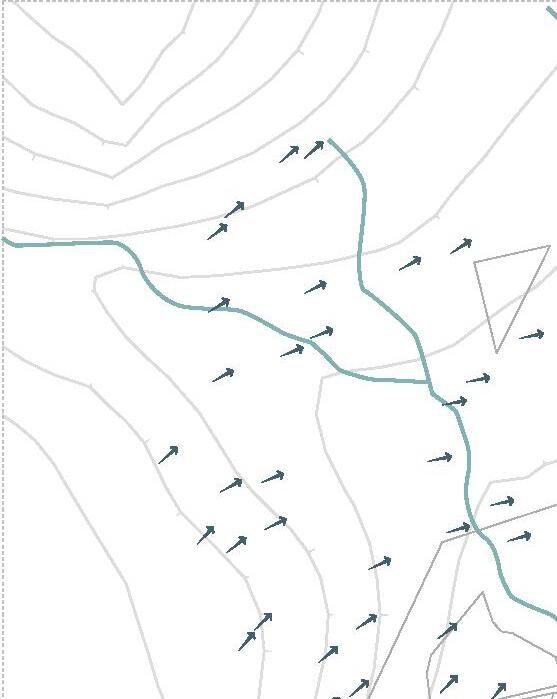
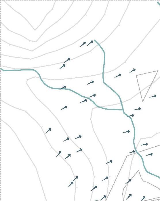
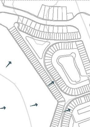
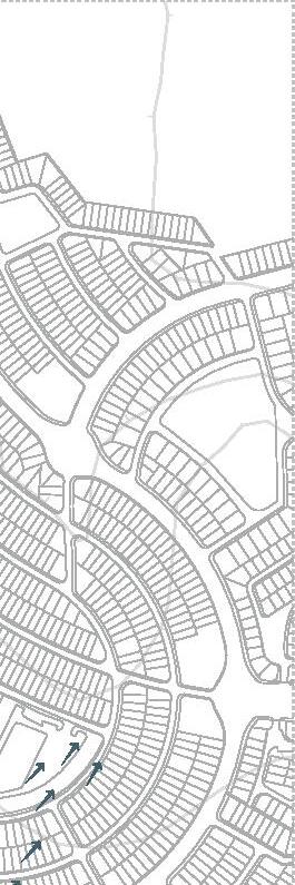
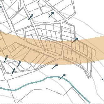
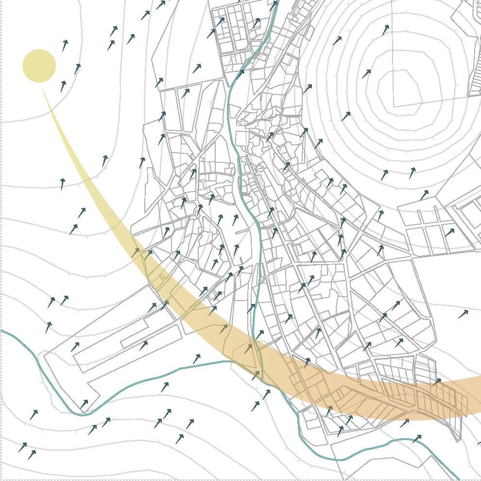
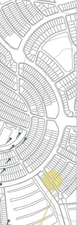
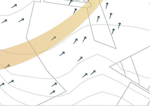
The area’s climatic conditions are located in a zone with prevailing winds from the southwest. The long time with direct sun exposure from sunrise from the east (approx. 6:50 a.m.) until sunset from the west (approx. 7:00 p.m.).
Sun Path Winds Poligon Canal
24








0 500 m
MOBILITY AND EQUIPMENT
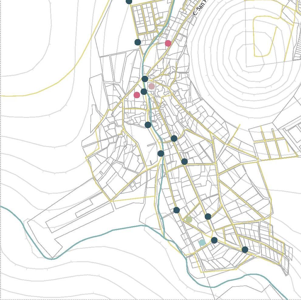
Regarding mobility, the community of Cumbres del Lago has direct access to a high automobile flow (the northwest beltway). On the other hand, accessibility to El Nabo is a bit more complicated. In contrast to Cumbres, El Nabo has a more significant number of educational establishments and bus stops.
Poligon
Canal
Accesibility routes
Government facilities
Sports equipment
Religious facilities
Schools
Bus stops
26





C.SanPedro 0 500 m
MAP OF LAND USE
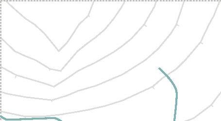
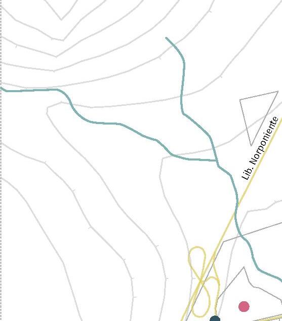
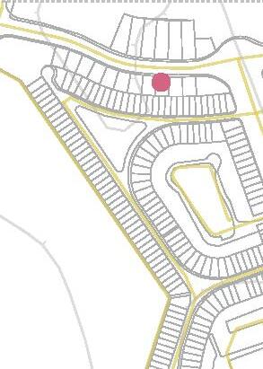
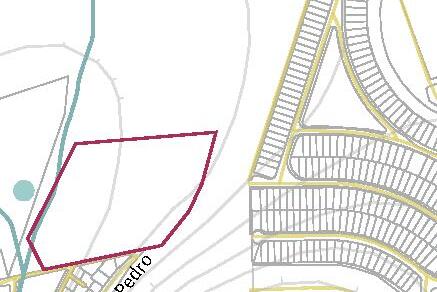
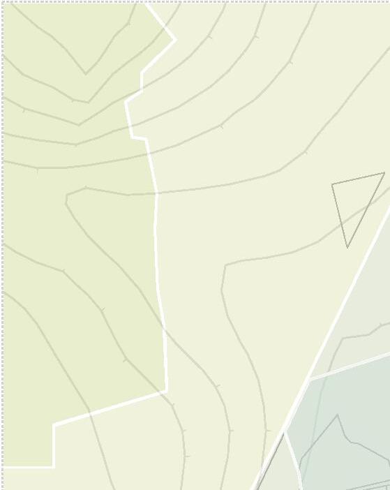
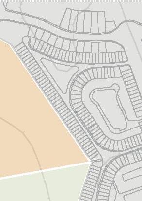
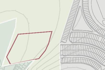
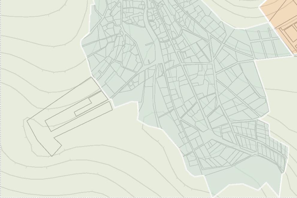
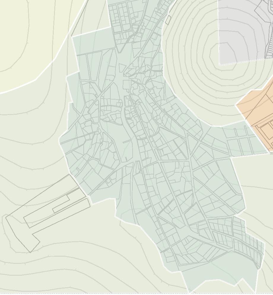
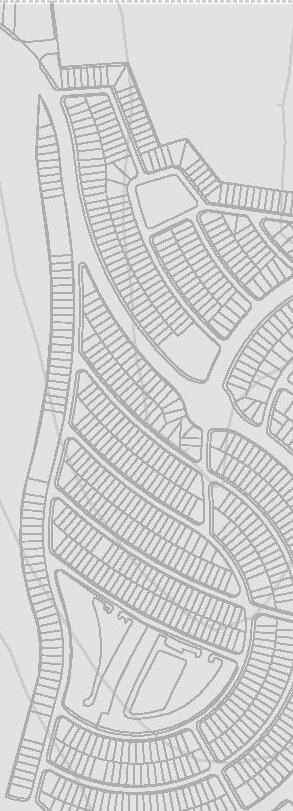
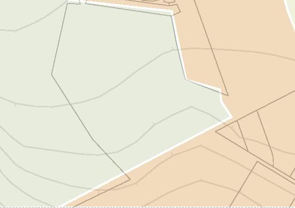
Land use is relevant in our choice of land as both communities used to be ejidos, and part of El Nabo used to be a nature reserve. Although nowadays this land use has changed, the land between the two communities was kept as ‘PEA’ (Agricultural and Ecological Protection), which stands for ‘Protección Ecológica y Agricola’.
Poligon
H25
HRCS
H2
PEPE
H1.5
PEA
28








0 500 m
WATER
It is an indispensable resource for the survival of entire ecosystems. Therefore, it is our responsibility to protect it and ensure its optimal use, i.e., use it consciously and not excessively.
Thus, the environment and the overall resource governance of the resources dictates a scenario in which hydric stress is the major challenge that urban and rural areas face.
For these reasons, considering the alarming hydrological situation, specific strategies for responsible water management will be considered while at the same time making this issue more visible.
30


HYDRIC STRESS
“Hydric stress occurs when the demand for water exceeds the available amount during a certain period or when poor quality restricts its use.”
(EEA, 1999)
STRATEGIES
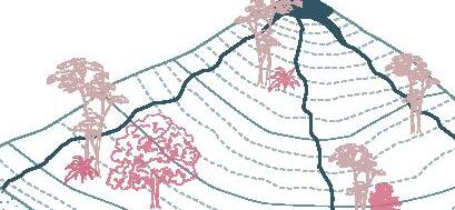
DECELERATION
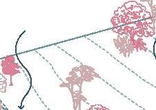
Flow velocity reduction on steep slopes utilizing topography or natural features, such as vegetation buffers or rain gardens.


INFILTRATION
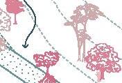
The process by which water on the earth’s surface enters the soil for water quality improvement and a healthier ecosystem.


CATCHMENT
Collecting and storing rainwater or other sources of fresh water for later use to address water scarcity and reduce reliance on centralized water supply systems.

32
STORAGE
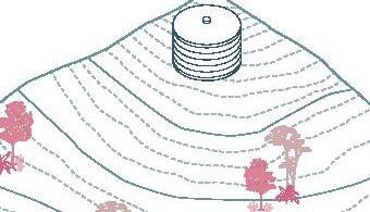
Collecting and holding water for future use in reservoirs, tanks, or other containers. This ensures a reliable water supply, especially during drought or different periods of water scarcity.
GUIDANCE
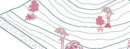
Channel hydrological flows, using the site’s topography to design ‘paths’ to direct them to catchment points.
RE-USE
Process of treating wastewater and other sources of used water for a beneficial purpose instead of discharging it into the environment contaminated.



USERS
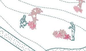
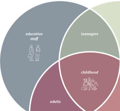
Early childhood is the focus of the project. It is essential to raise awareness from an early age. In our proposal, the second most predominant population in El Nabo is the children. The project needs to design from a perspective that includes the children and their caregivers.
34




DEMOGRAPHIC DATA
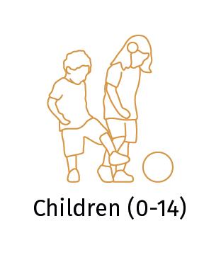

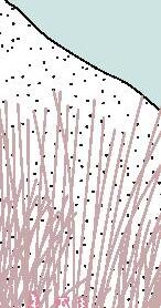
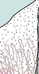
Total population: 3431 inhabitants
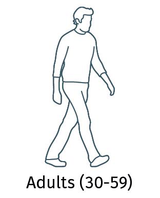
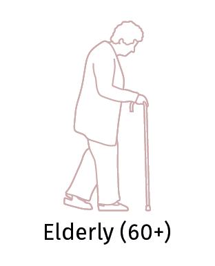

CUMBRES DEL LAGO
Total population: 6999 inhabitants

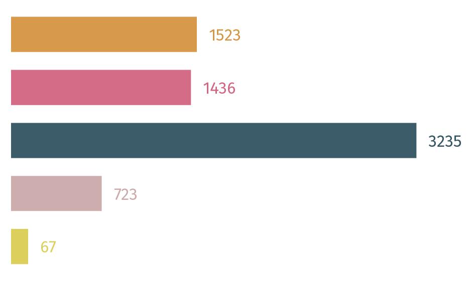 EL NABO
36


















38
EL NABO
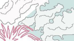
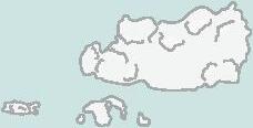


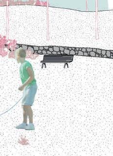 CUMBRES DEL LAGO
VOLUME TWO
For this child, the space felt like a canvas. Although it was a place with traces of human intervention, the fact that more houses or buildings did not occupy it meant that there was something special about it.
The boy was more excited about imagining the possible future of this place among the communities. He was eager to picture that such a place could be a spot where nature and the two communities could exist side by side.
The boy did not limit himself to imagining but began capturing his ideas through drawings in his school notebook. As he traced the pages, he thought of the possible activities that could take place within each of his sketches. The child thought of several paths along which different spaces that shared shapes could be found.
These different spaces would lend themselves to being places where he and other children could learn new things and, at the same time, rest or play. A place that both communities could care for and share. But more importantly, a place where both communities could coexist.
DESIGN PREMISES
EDUCATION
The spaces have to be fundamentally open spaces to take advantage of the characteristics of the natural environment. They must also be designed with a set of different levels and a design that directly involves the natural phenomena to be shown.
APPROPIATION
Such spaces should be monolithic to give a sense that their presence is timeless in the environment. Its design will be unconventional to lend itself to various uses.
LEISURE
These spaces will need to provide various users with areas where they can relax and enjoy the environment, therefore shade will be a crucial element in the overall design.
42
learning and awareness raising appropiation
Water resilient community leisure
EDUCATION
1. Water pavillion
2. Celestial pavillion
3. Earth pavillion
APPROPIATION
4. ASFA 1
5. ASFA 2
6. ASFA 3
LEISURE
7. ALOS
8. Ludic playground
9. Court equipment
44













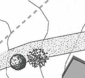



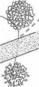






0 10 20 100 m 7 8 9 1 2 4 5 6
EDUCATION
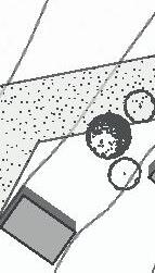
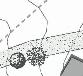
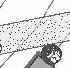
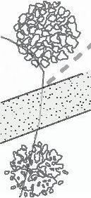
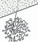
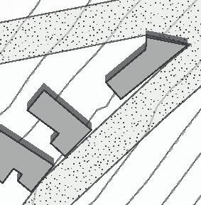
1. The point that takes advantage of the slope for the water catchment
2. Proximity to points of extractivism and eroded soil
3. The highest point of the terrain
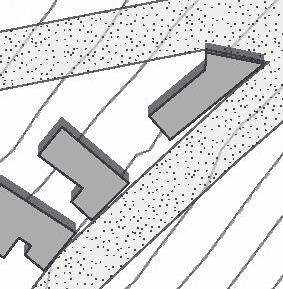
APPROPIATION
4. Proximity to the hydric system that generates microclimate and appreciation point
5. The second highest spot and has the broadest visual range
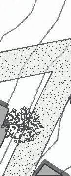
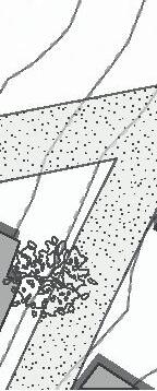
6. It is close to the leisure program and takes advantage of the natural shade from the mesquite
LEISURE
7. The central point of the terrain
8. Intermediate point for the people of Cumbres del Lago and El Nabo. Forces the users to go through the other points
9. Proximity to the football court and easy access
46























0 10 20 100 m 7 8 9 1 2 4 5 6
PROGRAM
EDUCATION
1. Water pavillion (490 m ²)
2. Celestial pavillion (177 m ²)
3. Earth pavillion (255 m ²)
APPROPIATION
4. ASFA 1 (35 m ²)
5. ASFA 2 (43 m ²)
6. ASFA 3 (36 m ²)
LEISURE
7. ALOS (125 m ²)
8. Ludic playground (350 m ²)
9. Court equipment (75 m ²)
48
2. 3.
4.
5. 6.
1.
7.
8.
9.
WATER
EDUCATION
CELESTIAL
EARTH
25m 25m 25m
Round base of 25m of diameter
Deformation of the base Elevation of elements
50







of volumes
of the volume Materiality
Addition
Deformation
APPROPIATION
Square base from 35m² to 50m²
Must have two floors
Vertical truss to suit geometric shape extrusions
52
The roof must have a geometrically shaped
Materiality
It’s all about your imagination
LEISURE
It has to be a rectangular base
Has to be at least two levels
Deformation of the volume
54
Addition of a roof that covers the majority of the space
Extrusion of geometric shapes
Materiality



STEEL
No maintenance
Unaffected by corrosion
Waterproof
It is considered a “living” material as its color changes with time
High copper, chromium and nickel content
CONCRETE
Cemex Pigment R002
Monolithic appearance
Waterproof
Cohesiveness, strength and durability
Composed of cement, sand, gravel and water
56



VOLUME THREE
After imagining and drawing the physical spaces distributed at different points along the roads, the child could not help but wonder what would happen in the other areas.
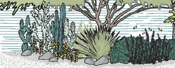
In his imagination, nature played a vital role, so he thought about how nature would take over this space.
He imagined how the natural elements of the environment could repopulate the space. In his imagination, the ecosystem would be comprised of various species. Creating a diverse ecosystem that all living beings could enjoy.


WATER BASIN
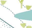
The method in which the water catchment strategy will be implemented. Employing this water board, rainwater will be captured from the runoffs.
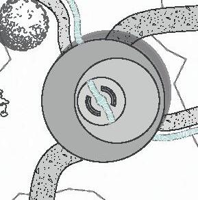
HYDRIC SYSTEM
This hydrological system, which runs through a considerable part of the site, consists mainly of a canal carrying out the rainwater guidance strategy.
DUNES
This landscape implementation consists of forming small monticules that serve as interactive elements, noise barriers and, most notably, as a means to carry out the deceleration strategy.

60



WATER BASIN
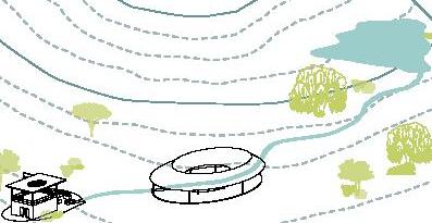
The purpose of this hydrological strategy is primarily to provide a natural way of capturing rainwater, which can be used to irrigate the park itself. In the second instance, when it exceeds the boundary, this water will be redirected to the other point of the property using the proposed canal.
It is foreseen that this basin will have a maximum containment capacity of approximately 300,000 litres. Similarly, this basin connects to the proposed canal to redirect the water to the point where it will be reused to irrigate the park and the planter beds.
62


HYDRIC SYSTEM
This system consists of re-directing the rainwater collected on the basin to the court equipment, where the water will be filtered and stored for later reuse in the irrigation system.
The water is expected to pass through three phases. The first phase consists of natural filtration through a water garden. The second phase of the journey takes place in the water pavilion, where the water of the canal plays the central role and gives a contemplative character to the water cycle inside the pavilion.
Finally, in the third phase, the water will reach an outflow, filtered through grey infrastructure and stored in a cistern with a capacity of 10,000 litres.
64




DUNES
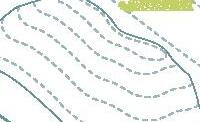
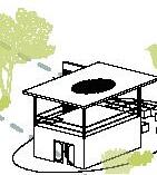
Within the project, there will be different points where the topography will be played with through earthworks.
The dunes will be made from the remains of the material banks and from the earth that had been removed to create the water bank.
These dunes will be placed strategically in places close to recreational areas. In addition to functioning as interactive landscape elements, they will be natural insulators of external noise.
66
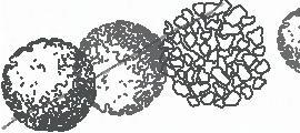
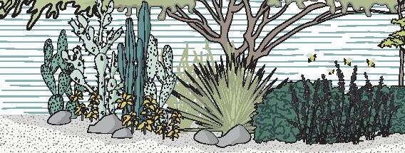
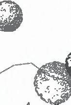
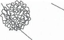
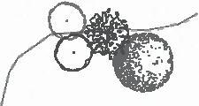
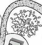
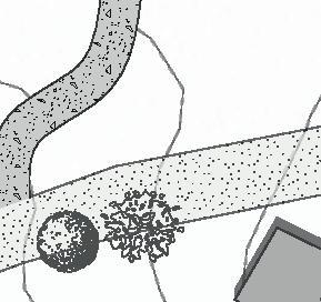
VEGETATION PALETTE
MEDIUM SHRUB SPECIES
Karwinskia humboldtiana
Asclepias linaria
Baccharis pilularis

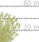
Achnatherum clandestinum
TALL SHRUB SPECIES
Mimosa aculeaticarpa
Tecoma stans
Dasylirion acrotrichum
Verbesina carranzae
FLOWERING AND GROUND-COVERING SPECIES
Water needs
Season of interest
Clasification
Cosmos bipinnatus
Mexican sage Carpobrotus acinaciformis
Dorotheanthus bellidiformis
very low winter (15-21 days) low average high spring summer autumn (10-14 days) (5-7 days) (3-4 days)
pre-existing native cultivated exotic
.20 m .60 m 1 m 1.40 m .20 m .60 m
68
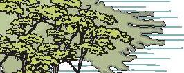
MID-HEIGHT TREE SPECIES
HIGH TREE SPECIES
XEROPHYTE SPECIES
Acacia pennatula
Ceiba aesculifolia
Prosopis glandulosa
Prosopis velutina
Prosopis laevigata
Salix babylonica
Cedrela dugesii
Pereskiopsis velutina Agave vilmoriniana
Opuntia spp
2 m 6 m 2 m 6 m 10 m 14 m .40 m .80 m
Mauritius hemp Pachycereus marginatus
MICRO-CLIMATES
AROMATIC SPECIES
Mexican sage
Achnatherum clandestinum
Baccharis pilularis
Acacia pennatula
LOW-WATER USAGE SPECIES
Karwinskia humboldtiana
Verbesina carranzae
Pachycereus marginatus
Prosopis glandulosa
POLLINATOR SPECIES
Tecoma stans
Baccharis pilularis
Dasylirion acrotrichum
Cosmos bipinnatus
Mauritius hemp


70
WATER-RETAINING SPECIES
Achnatherum clandestinum
Carpobrotus acinaciformis
Dorotheanthus bellidiformis
Opuntia spp
Ceiba aesculifolia
SHADE-GIVING SPECIES
Mimosa aculeaticarpa
Mexican sage
Agave vilmoriniana
Pereskiopsis velutina
Prosopis velutina
Cedrela dugesii
HUMIDITY-GENERATING SPECIES
Salix babylonica
Asclepias linaria
Cosmos bipinnatus
Carpobrotus acinaciformis
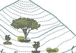


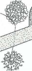
PATHS
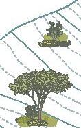
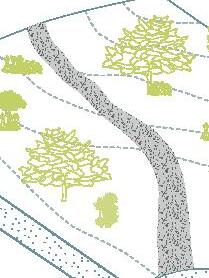
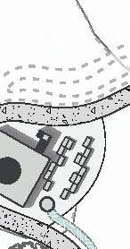
MAIN PATH
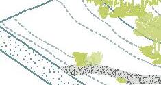
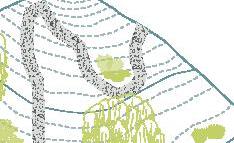
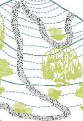
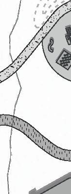
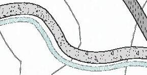
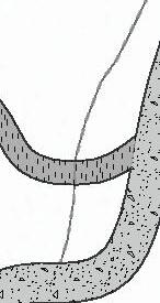
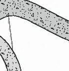
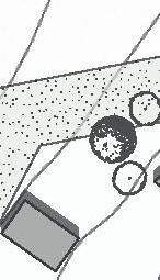
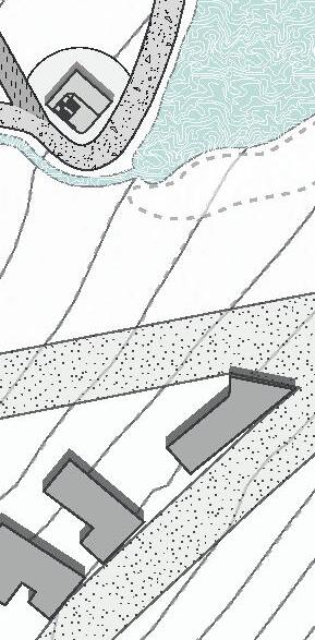
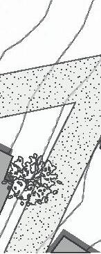
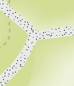
A five-metre-wide pathway ensures a diversity of users can enter simultaneously and show hierarchy. Its materiality is of rammed earth with compacted tepetate.


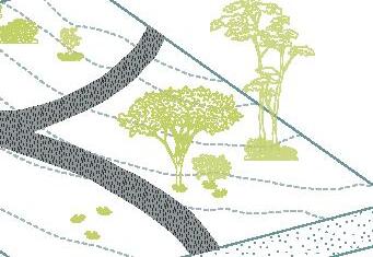
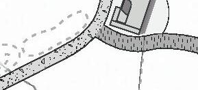
SECONDARY PATH
A three-metre wide path, which creates a more intimate route for users. Its materiality is of rammed earth with compacted tepetate.


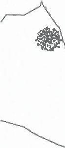
TERTIARY PATH (ARTERIES)
This type of road constitutes the arteries that connect the different points of interest in the park more informally. They are three metres wide and are made of fine tezontle.





72























THE THIRD LANDSCPAE


0 10 20 100 m
1.Karwinskia humboldtiana
2. Asclepias linaria
3. Baccharis oilularis
4. Achnatherum clandestinum
5. Mimosa aculeticarpa
6. Tecoma stans
7. Dasylirion acrotrichum
8. Verbesina carranzae
9. Cosmos bipinnatus
10. Mexican sage
11. Carbobrotus acinaciformis

12. Dorotheanthus bellidiformis
13. Acacia pennatula
14. Ceiba aesculifolia
15. Prosopis glandulosa
16. Prosopis velutina
17. Prosopis laevigata
18. Salix babylonica
19 Cedrela degusii
20 Pereskiopsis velutina
21. Agave vilmoriniana
22. Opuntia spp
23. Mauritius hemp
1. 4. 7 10. 13. 16 19. 22. 2. 5. 8. 11. 14. 17. 20. 23. 3. 6. 9 12. 15. 18. 21. 24.
24. Pachycereus marginatus
RESERVE
SUBSOILING
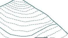
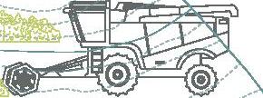
The surface soil is fragmented and any hydrophobic layers are removed, and these are the layers that repel water. This type of method facilitates the filtration of rainwater and reduces surface water runoff.
High
ROLLED EROSION CONTOL
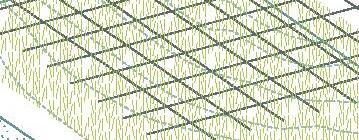
A method of renaturation of eroded soils, consisting of naturally processed fibres, to form a continuous binder for erosion control and acceleration of the vegetation establishment process.
High

ORGANIC MATERIAL
It is an essential process for improving their fertility and health. Organic matter refers to any material of plant or animal origin that is in different stages of decomposition.
High
Low Low Low
76















VOLUME FOUR
Little by little the child’s drawings came to life and became unique spaces with diverse functionalities. Each space is part of a larger scale project.
Each path is the means by which the child imagined that different experiences could take place within this space that he had created in his best dreams.
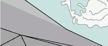
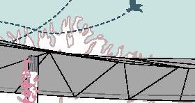
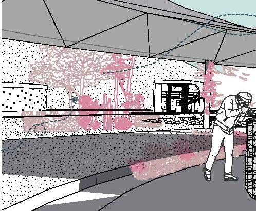
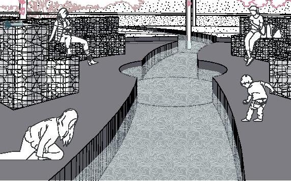
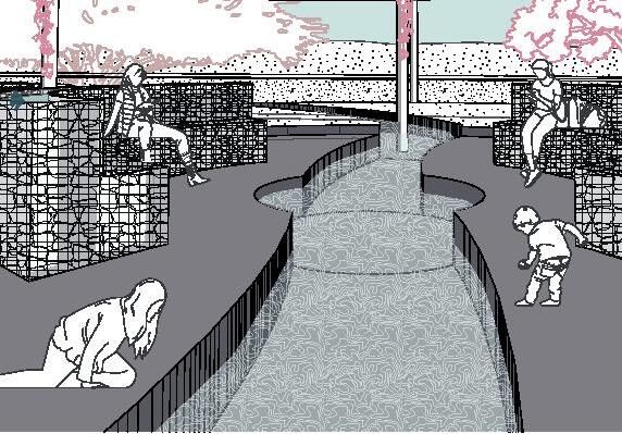
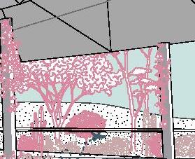
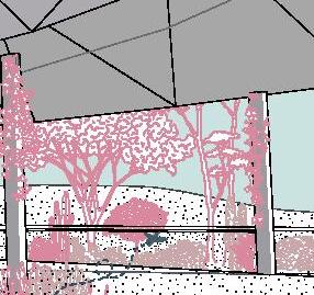
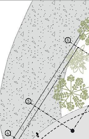
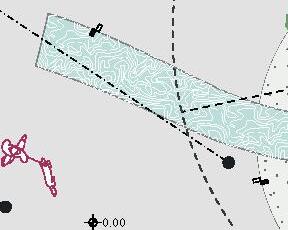
WATER PAVILION








GSEducationalVersion 80
Surface area: 470 m²
Height: 4.5 m
Material: Corten steel roof, corten steel columns, concrete platform
Category: Education


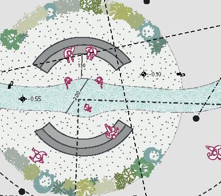


0 10 20 100 m 4.90 24.93 24.93 6.42 1 3 A B c E -0.55 0 1 10 m 1.10 2.00 4.90 24.93 6.00 5.94 3.07 24.93 4.11 2 3 4 5 6 A B c D E 0 1 10 m 82

GSEducationalVersion 0 1 10 m GSEducationalVersion 10 m GSEducationalVersion 0 1 10 m


1.10 2.00 4.90 24.93 6.00 5.94 3.07 24.93 6.42 3.57 4.11 2 1 3 4 5 6 A B c D E 0.00 -0.10 -0.55 0 1 10 m +0.00 +4.50 +3.00 -0.55 -0.55 0 1 10 m
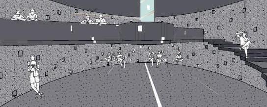
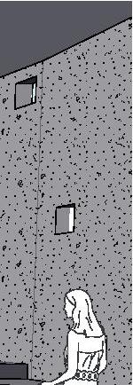
CELESTIAL PAVILION


GSEducationalVersion 86
Surface area: 170 m²
Height: 6 m
Material: Reinforced concrete
Category: Education
11.10 6.87 2.00 7.25 45.26 0.36 DOUBLE HEIGHT ACCESS UP FIRST LEVEL PROJECTION 0.00 -0.35 0 1 5 m 11.10 6.87 2.00 7.25 45.26 0.36 DOUBLE HEIGHT ACCESS UP FIRST LEVEL PROJECTION 0.00 -0.35 0 1 5 m 11.10 6.87 2.00 7.25 45.26 0.36 DOUBLE HEIGHT ACCESS UP FIRST LEVEL PROJECTION 0.00 -0.35 5 m 88
GSEducationalVersion 0 1 5 m GSEducationalVersion 0 1 5 m GSEducationalVersion 5 m

11.10 6.87 2.00 7.25 45.26 0.36 DOUBLE HEIGHT ACCESS UP FIRST LEVEL PROJECTION 0.00 -0.35 0 1 5 m +3.00 +6.00 +0.00 0 1 5 m
EARTH PAVILION
GSEducationalVersion 92
Surface area: 250 m²
Height: 3 m
Material: Reinforced concrete road and gavion walls
Category: Education
0.00 0.00 2.50 0.30 4.56 17.89 5.09 8.32 7.49 11.73 1.85 3 2 1 0 1 10 m 0.00 0.00 2.50 0.30 4.56 17.89 5.09 8.32 7.49 11.73 1.85 3 2 1 10 m 0.00 0.00 2.50 0.30 4.56 17.89 5.09 8.32 7.49 11.73 1.85 3 2 1 0 1 10 m 94
GSEducationalVersion 0 1 10 m GSEducationalVersion 0 1 10 m GSEducationalVersion 10 m

+3.00 +1.75 +0.00 0 1 5 m +3.00 +1.75 +0.00 0 1 5 m
ASFA 1
GSEducationalVersion 98
Surface area: 35 m²
Height: 6 m
Material: Reinforced concrete
Category: Appropiation
0.00 0.00 -0.10 -0.10 0.06 1.38 0.90 3.33 5.61 VACUUM UP ACCESS ACCESS FIRSTLEVELPROJECTION ROOFPROJECTION 4 3 2 1 A B C D 0 1 5 m 0.00 0.00 -0.10 -0.10 0.06 1.38 0.90 3.33 5.61 VACUUM UP ACCESS ACCESS FIRSTLEVELPROJECTION ROOFPROJECTION 4 3 2 1 A B C D 0 1 5 m 0.00 0.00 -0.10 -0.10 0.06 1.38 0.90 3.33 5.61 VACUUM UP ACCESS ACCESS FIRSTLEVELPROJECTION ROOFPROJECTION 4 3 2 1 A B C D 1 5 m 100
1 2 3 4 B C D 0 1 5 m 1 2 3 4 B C D 0 1 5 m 1 2 3 4 B C D 5 m

+0.00 -0.15 +3.00 +6.00 0 1 5 m +0.00 -0.15 +3.00 +6.00 0 1 5 m
ASFA 2
GSEducationalVersion
104
Surface area: 40 m²
Height: 6 m
Material: Reinforced concrete
Category: Appropiation
0.00 0.00 -0.15 5.80 3.76 1.97 1.19 1.10 2.33 DOUBLEHEIGHT DOUBLEHEIGHT ACCESS FIRSTLEVEL PROJECTION ROOFPROJECTION ACCESS VACUUM 5.80 3.47 0.84 UP 1 3 A B C D 0 1 5 m 0.00 0.00 -0.15 5.80 3.76 1.97 1.19 1.10 2.33 DOUBLEHEIGHT DOUBLEHEIGHT ACCESS FIRSTLEVEL PROJECTION ROOFPROJECTION ACCESS VACUUM 5.80 3.47 0.84 UP 1 3 A B C D 0 1 5 m 0.00 0.00 -0.15 5.80 3.76 1.97 1.19 1.10 2.33 DOUBLEHEIGHT DOUBLEHEIGHT ACCESS FIRSTLEVEL PROJECTION ROOFPROJECTION ACCESS VACUUM 5.80 3.47 0.84 UP 1 3 A B C D 1 5 m 106
A B C D 1 2 3 0 1 5 m A B C D 1 2 3 0 1 5 m A B C D 1 2 3 5 m

+0.00 -0.15 +3.00 +6.00 0 1 5 m +0.00 -0.15 +3.00 +6.00 0 1 5 m
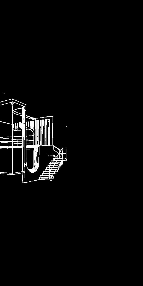
ASFA 3
GSEducationalVersion 110
Surface area: 36 m²
Height: 6 m
Material: Reinforced concrete
Category: Appropiation
0.00 -0.10 -0.20 4.95 1.59 2.30 2.31 2.70 3.70 1.00 2.65 TAPANCO DOUBLEHEIGHT FIRSTLEVELPROJECTION ROOFPROJECTION UP ACCESS 1 2 A B C D 01 5 m 0.00 -0.10 -0.20 4.95 1.59 2.30 2.31 2.70 3.70 1.00 2.65 TAPANCO DOUBLEHEIGHT FIRSTLEVELPROJECTION ROOFPROJECTION UP ACCESS 1 2 A B C D 01 5 m 0.00 -0.10 -0.20 4.95 1.59 2.30 2.31 2.70 3.70 1.00 2.65 TAPANCO DOUBLEHEIGHT FIRSTLEVELPROJECTION ROOFPROJECTION UP ACCESS 1 2 A B C D 01 5 m 112
GSEducationalVersion A B C D 1 2 0 1 5 m GSEducationalVersion A B C D 1 2 5 m GSEducationalVersion A B C D 1 2 0 1 5 m
+0.00 -0.20 +3.00 +6.00 0 1 5 m +0.00 -0.20 +3.00 +6.00 0 1 5 m
GSEducationalVersion 116
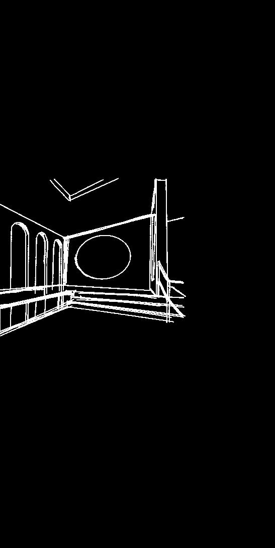
ALOS
Surface area: 70 m²
Height: 7.75 m
Material: Reinforced concrete
Category: Leisure
0.00 -0.10 -0.10 -0.35 4.45 27.28 UP VACCUM FIRST LEVEL PROJECTION FIRST LEVEL PROJECTION ROOF PROJECTION ROOF PROJECTION ACCESS ACCESS ACCESS ACCESS VACCUM VACCUM 1 2 A B C D E 01 10 m 0.00 -0.10 -0.10 -0.35 4.45 27.28 UP VACCUM FIRST LEVEL PROJECTION FIRST LEVEL PROJECTION ROOF PROJECTION ROOF PROJECTION ACCESS ACCESS ACCESS ACCESS VACCUM VACCUM 1 2 A B C D E 0 1 10 m 0.00 -0.10 -0.10 -0.35 4.45 27.28 UP VACCUM FIRST LEVEL PROJECTION FIRST LEVEL PROJECTION ROOF PROJECTION ROOF PROJECTION ACCESS ACCESS ACCESS ACCESS VACCUM VACCUM 1 2 A B C D E 10 m 118
A 2 B C D 1 0 1 5 m A 2 B C D 1 0 1 5 m A 2 B C D 1 5 m
-0.35 +7.75 +3.35 +3.80 +0.00 01 10 m -0.35 +7.75 +3.35 +3.80 +0.00 01 10 m
PLAYGROUND
GSEducationalVersion 122
Surface area: 340 m²
Height: -
Material: Reinforced concrete
Category: Leisure
0 1 5 m 5 m 0 1 5 m 124
GSEducationalVersion 0 1 5 m GSEducationalVersion 0 1 5 m GSEducationalVersion 5 m

COURT EQUIPMENT GSEducationalVersion 128
Surface area: 125 m²
Height: 6 m
Material: Reinforced concrete
Category: Leisure
0.00 0.00 -0.10 -0.10 UP 6.83 2.00 ACCESS ROOFPROJECTION PLANTERBEDS BATHROOMS MACHINEROOM/STORAGE 6.75 1 2 3 A B C 0 1 5 m 0.00 0.00 -0.10 -0.10 UP 6.83 2.00 ACCESS ROOFPROJECTION PLANTERBEDS BATHROOMS MACHINEROOM/STORAGE 6.75 1 2 3 A B C 1 5 m 0.00 0.00 -0.10 -0.10 UP 6.83 2.00 ACCESS ROOFPROJECTION PLANTERBEDS BATHROOMS MACHINEROOM/STORAGE 6.75 1 2 3 A B C 0 1 5 m 130
3 1 A B C 0 1 5 m 3 1 A B C 0 1 5 m 3 1 A B C 5 m

+0.00 +3.00 +6.00 0 1 5 m +0.00 +3.00 +6.00 0 1 5 m
threaded brass gate valve 1 1/2” water basin
storm drain with 50 cm free inlet and reinforcement in cover
bilge pump brand EVANS max 1.5", two-phase 110 V, 2 poles, 5 m cable, vortex impeller
PVC sanitary pipe
1,100 l three-layer rotoplas water tank with 1.5" pipe connection
134
nished with water repellent sealer
comex brand elastomeric waterproo ng 1.04 mm thick
solid reinforced concrete roof slab 20 cm thick, cement concrete type I
CEMEX ASTM C-1157 type GU (F'C)=250 kg/cm2, cement-sand-gravel ratio 1:5:6 with No. 4 rod @20cm
#4 rod handrail
solid reinforced concrete mezzanine slab 20 cm thick, cement concrete type I CEMEX ASTM C-1157 type GU (F'C)=250 kg/cm2, cement-sand-gravel ratio 1:5:6 with No. 4 rod @20cm
20 cm thick reinforced concrete wall, plumbed cement concrete type I
CEMEX ASTM C-1557 type GU (F'C)= 250 kg/cm2, cement-sand-gravel ratio 1:5:6 20 cm x 20 cm grid with #4 rod
washed concrete staircase reinforced in place with rod No. 4 @20 cm
T-shaped spread footing, reinforced concrete, cast in place with ready-mixed concrete (F'C)= 250 kg/cm2
grill assembled with rod no. 4 @25 cm
reinforced concrete (F'C)= 250 kg/cm2, thickness of 10 cm
land
poor concrete template (F'C)= 100 kg/cm2, thickness 5cm
+6.00 +3.00 +1.75 +0.00 0.48 2% 2% 2% 0.95
In the end, the child in our story realized that the drawings and ideas of his imagination could become a reality. Coexistence between the natural and the built and between neighbouring communities can be achieved by designing conscious spaces that promote learning, appropriation and enjoyment.
GLOSSARY
ALOS
Alternative Learning Outdoor Space. We refer to a common learning environment space in the outdoors.
ASFA
Architectonic Space For Appropriation. We refer to a space that is flexible to the different uses and needs of the user.
EXTRACTIVISM
“The intensive and extensive exploitation of natural resources; little or no industrialization; export as the principal destination; exploitation that impedes natural renovation”
(Chavez, 2013)
HYDRIC STRESS
“Hydric stress occurs when the demand for water exceeds the available amount during a certain period or when poor quality restricts its use.”
(EEA, 1999)
LABYRINTH
According to the Cambridge dictionary, a labyrinth is a set of paths or ways in which it is easy to get confused or lost.
MAZE
Is a complex and tangled network of paths or passages that are confusing or difficult to follow.
Stands for (ecological and agricultural protection), its use, as mentioned above, is for agricultural activities.
THIRD LANDSCAPE
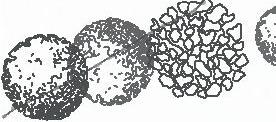
We refer to an abandoned area with no defined human function. It’s the edge of a road, an empty lot, or corners forgotten by culture.
138
ANEXUS
CHAPULTEPEC GARDEN AND SCENIC PAVILION
Galería de Ganadores del Concurso “Jardín y Pabellón Escénico Chapultepec” en la Ciudad de México - 3. (n.d.). ArchDaily México. https://www.archdaily.mx/mx/976628/ganadores-del-concurso-jardin-y-pabellon-escenicochapultepec-en-la-ciudad-de-mexico/6205b7b63e4b31a9bd000050-ganadores-del-concurso-jardin-y-pabellonescenico-chapultepec-en-la-ciudad-de-mexico-foto?next_project=no
ENVIRONMENTAL
CULTURE CENTRE IN CHAPULTEPEC
Centro de Cultura Ambiental en Chapultepec - Arquine. (2023, February 5). Arquine. https://arquine.com/obra/ centro-de-cultura-ambiental-en-chapultepec/
CERRO CALAN OBSERVATORY PARK
Parque Observatorio Cerro Calán | Tag | ArchDaily México. (n.d.). ArchDaily. https://www.archdaily.mx/mx/tag/ parque-observatorio-cerro-calan
AFTER EXTRACTIVISM
After Extractivism · BG°2022 Project – How can we build our future on the legacies and claims of those who, yesterday as today, have been plunged into existential hardship by the ecological-economic complex? And how can we make such struggles a source of inspiration for a common cause? (n.d.). https://projekte.berlinergazette. de/after-extractivism/
FLORALIA/EURESIS
Gourdoukis, D. (2023). Floralia / Euresis. object-e.net. https://object-e.net/projects/floralia-euresis
140
ACKNOWLEDGEMENTS
ARLETTE NAVA
I am grateful for my teammates and close friends’ support and hard work. I thank my teachers for their access to advice at all times. I would also like to thank Daniela Cruz for her unconditional support. Finally, I thank my mother for accompanying me from afar with her help and words of encouragement.
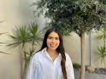
 JIMENA ARIAS
I would like to thank my parents because thanks to them, I am where I am and who I am. I’m thankful with Daniela Cruz for believing in us and above all for being patient and willing to help us. I also like to thank all my teachers for their constant and unwavering support. I can’t thank you enough Arlette and Martin, for all the moments we spent together.
MARTIN HERNANDEZ
I want to thank God for providing me with new opportunities. Also, thank each person who walked this path with me, my parents for allowing me to be here and always supporting me, my sister, and my teammates Arlette and Jime for constantly reminding me how capable I really am.

142


 EL NABO AND CUMBRES DEL LAGO


 2004
2011
2014
Satelite photographs obtained from Google Earth


 EL NABO


 CUMBRES DEL LAGO


 JIMENA ARIAS

