ok
e Bro
ch
ok W est B
ran
ranc
st B
h
Ea
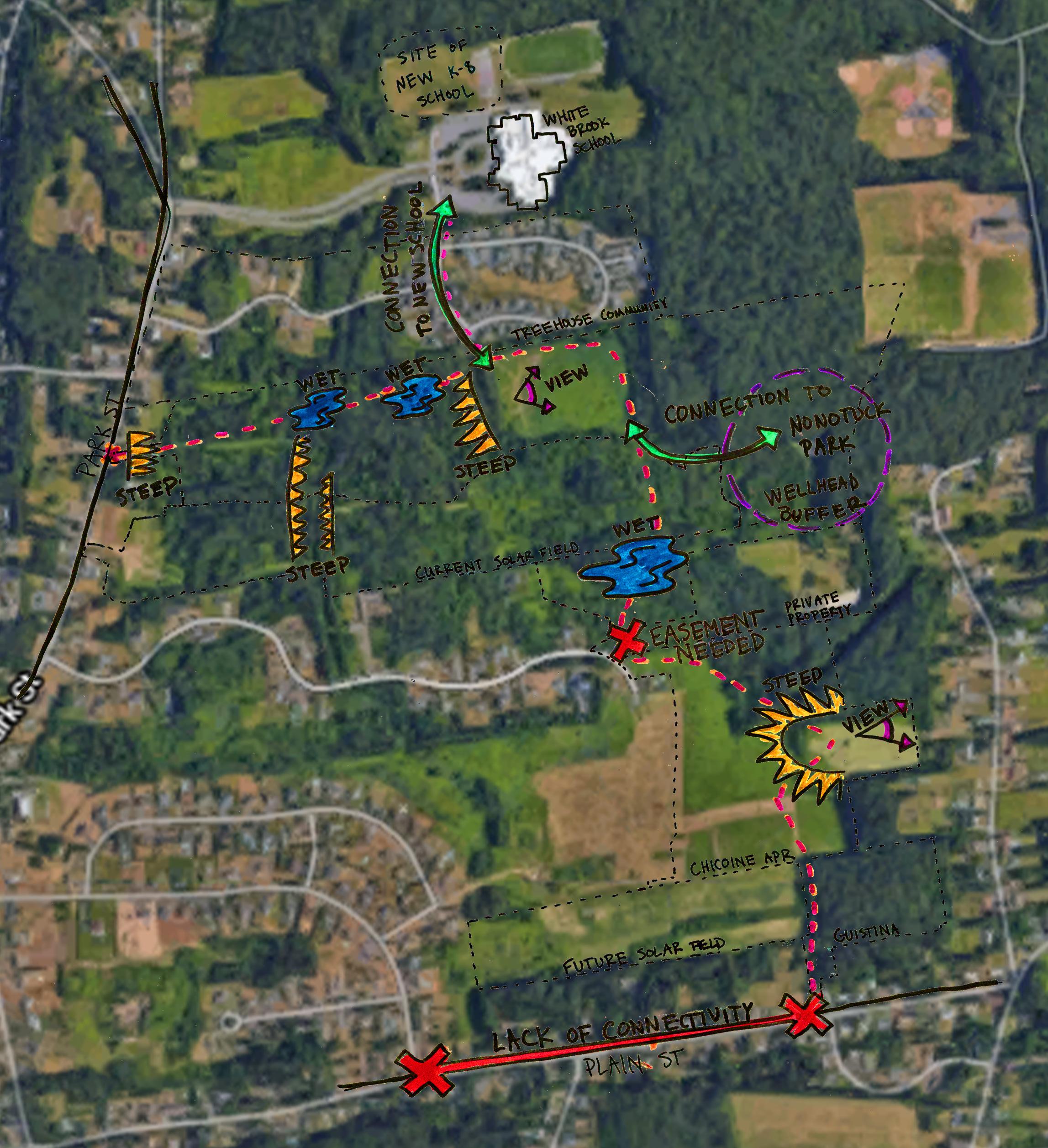
The path ascends a moderately steep hill among cottonwoods and pines to emerge in the open area west of the mound of fill. Path users are rewarded for their effort with a spectacular view of Mt. Tom directly ahead to the east. This hillside would require some significant regrading to meet acceptable grades for an accessible path.
P1
P2
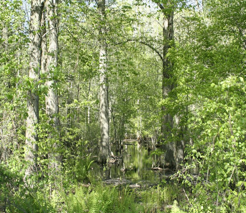
Left: The wetland crossing over the west branch of White Brook.
P2
Right: This forest was once an agricultural field, and is now a beautiful open woodland.
Not for Construction. This document is a student project and not based on a legal survey.
26
Galen Hammitt | Walker Powell | The Conway School
P1
A climb to a view.
B
Prepared for the City of Easthampton | Spring 2020
A
Bro
B
B
ite Wh
steep slope adjacent to Park Street, the path descends a more gradual slope and winds northeast to cross the east branch of White Brook where the banks are more gently sloped. A 60-ft boardwalk crosses the wetland.
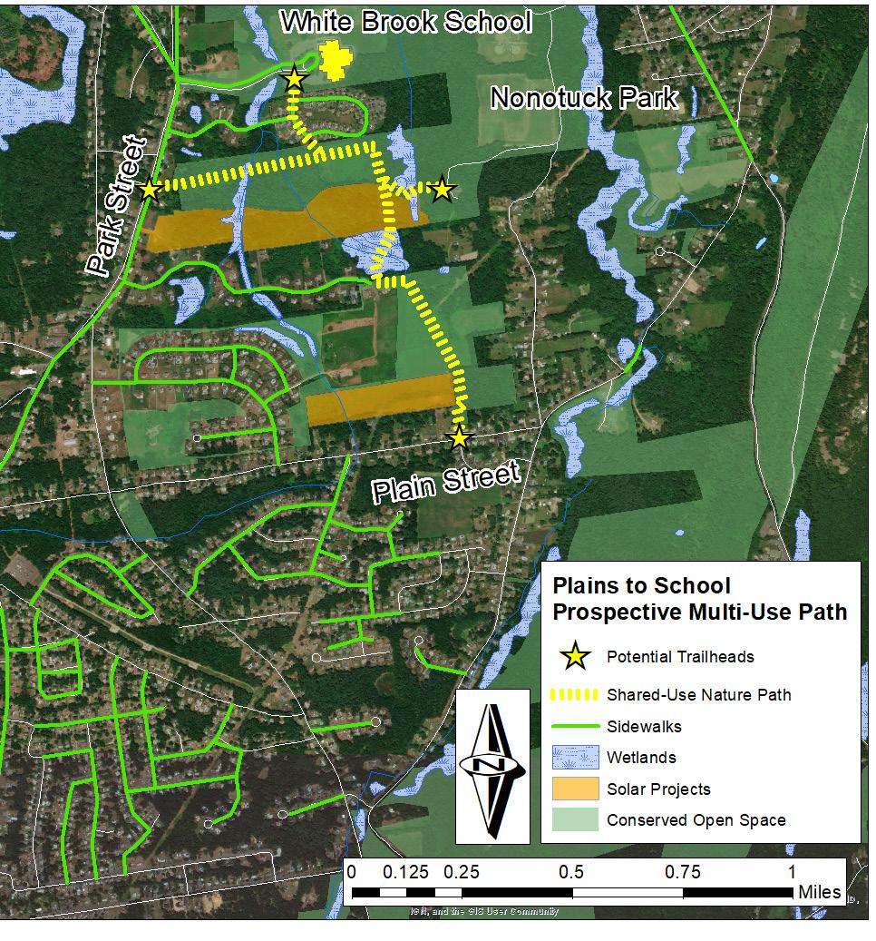
PLAINS TO SCHOOL: A Shared-Use Path for Easthampton
Park Street wetland boardwalk. After the
Whit
A
FINAL DESIGN - DETAIL
FINAL DESIGN DETAIL Park Street Spur


